
Upper Dayton Creek OHV Trail aka Blacktail-Wild Bill ORV Trail System (73.33 miles away)
Lakeside, Montana
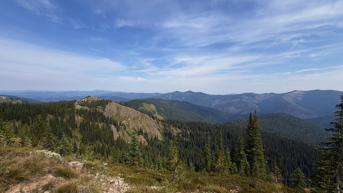

Simmons Ridge Road, FS 346, is a short, 3-mile out-and-back spur off of Red Ives Creek Road in the Idaho Panhandle National Forest.
The entire length of the road remains above 6,000' elevation, treating you to expansive views of the surrounding Bitterroot Mountains. The road is lined with low underbrush consisting of beargrass and huckleberry bushes, commonly laden with berries through July and August.
There is a large, flat campsite at the northernmost point of the trail where several trailheads for hiking and dirt biking branch off to the North. At this point, the road makes a sharp, hairpin turn to the South and makes the final slow, rocky ascent to the site of the former Simmons Peak Lookout, which was struck by lightning and burned in 1984. From here, you can see singletrack trails zigzagging across neighboring ridgelines, as well as high distant high peaks like Sherlock Peak and Simmons Peak.

