



By clicking "ACCEPT", you agree to be the terms and conditions of each policy linked to above. You also agree to the storing of cookies on your device to facilitate the operation and functionality of our site, enhance and customize your user experience, and to analyze how our site is used.
Idaho Off-Road Trails
63
Total Trail Guides 60

644
Detailed Waypoints 302
Try a Free 7-Day Trial and unlock it all
Start a Free Trial Most Recent Trail Reviews
No Rating
Open
Visited: 09/19/2026
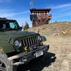
Fun drive, lots of dirt bikes and a few BDR Moto riders. Drove it in reverse direction.

Kim Richards
No Rating
Open
Visited: 09/19/2026
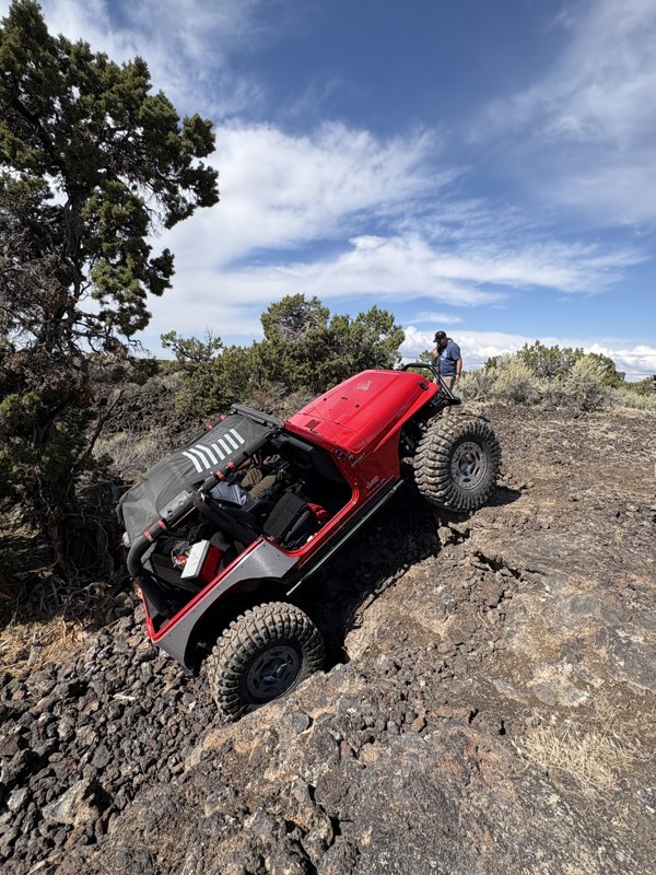
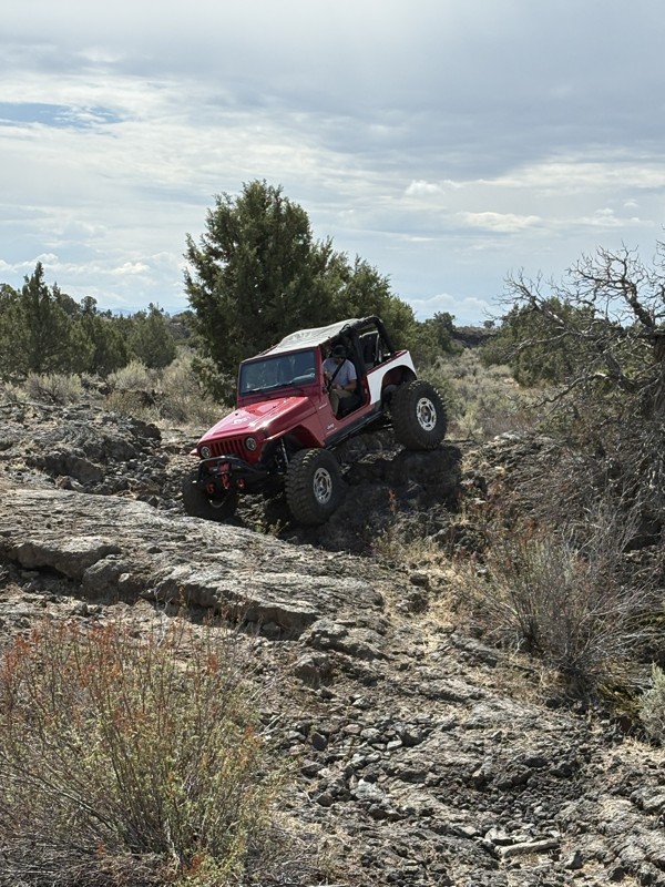
This trail was a great time. It is very unique, ive never been on a trail like it. the lava rock has plenty of traction and is pretty nasty on tires. But all in all I would recommend it to be done at ...
JP
Jared Pyne
Rated 3/5
Open
Visited: 09/15/2026
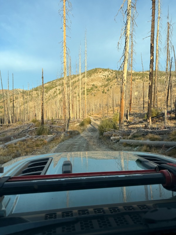
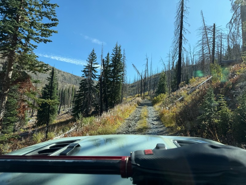
Trail consists of mostly narrow 2-track. Softball to soccer ball sized rocks. Slow going. Most of this forestland experienced fire in the past few years and is still recovering. Pulled a 9’ off-road t...
JH
Jason Holmes
No Rating
Open
Visited: 09/05/2026
Been going here for 57 years and the road keeps getting easier and easier. Sedans can make it.
BC
Bruce Chadwick
Rated 4/5
Open
Visited: 09/01/2026
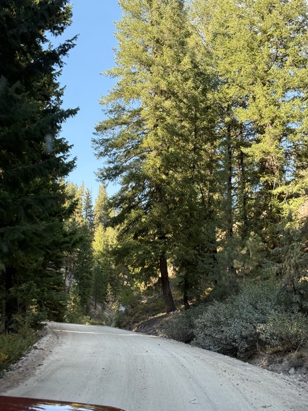
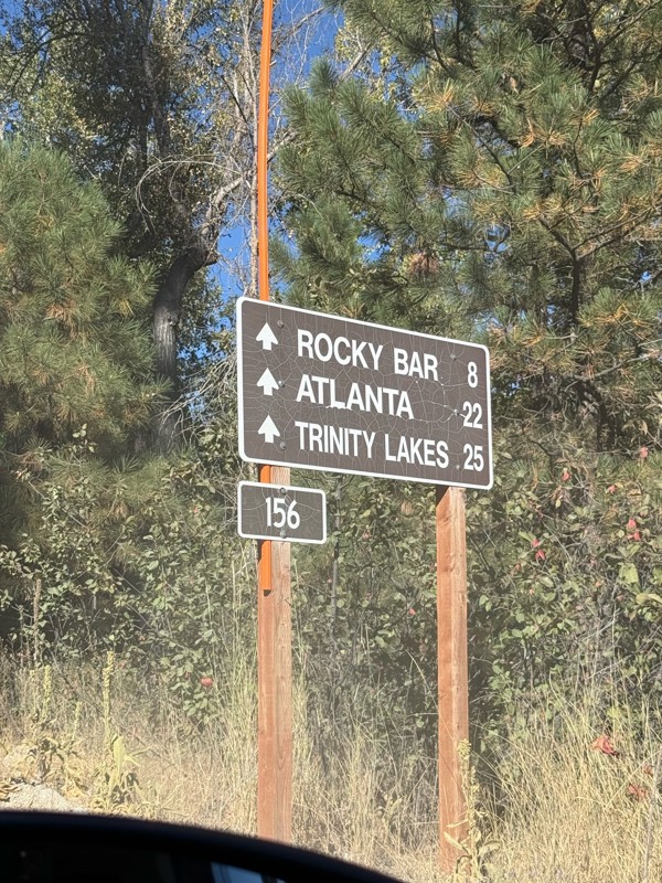
Easy trail that connects you to other great locations. Any vehicle could do this one.
PS
Paul Smith
Rated 4/5
Open
Visited: 09/01/2026
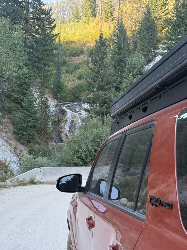
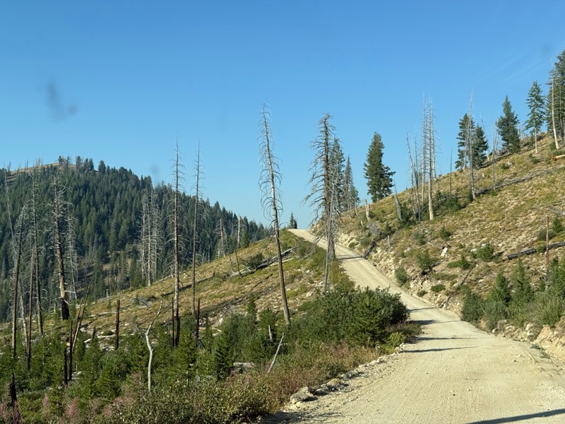
Pretty easy trail although there are some narrow spots along the way. Gets a bit bumpy and rocky as you head toward Atlanta but nothing difficult.
PS
Paul Smith
No Rating
Open
Visited: 09/01/2026
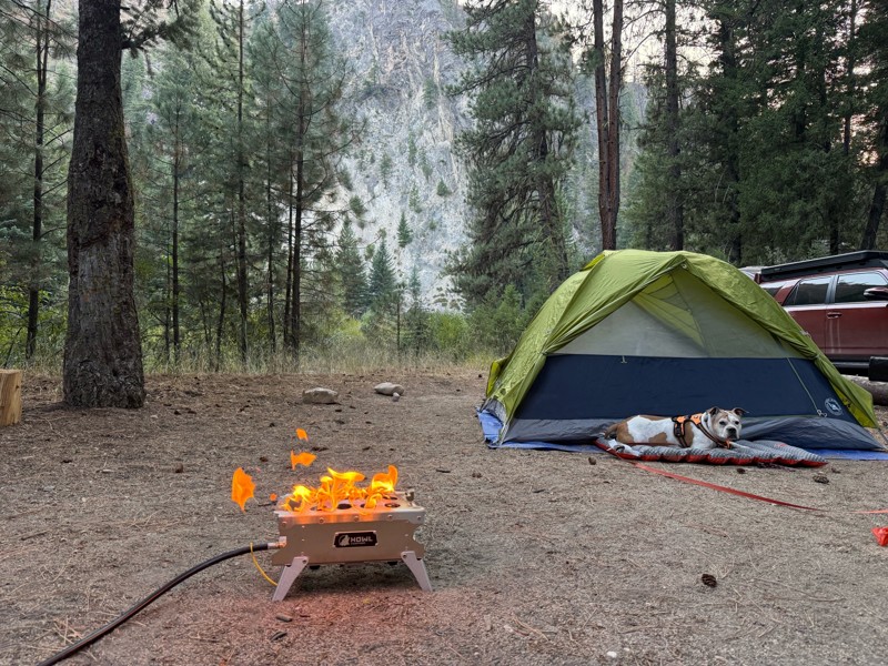
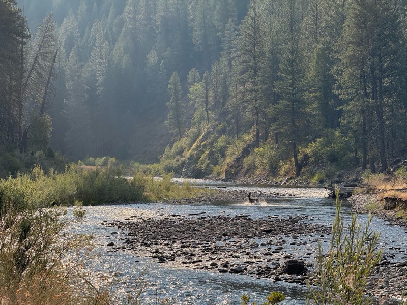
Beautiful and easy road. The smoke was wildfires was pretty bad but that can change. Any stock vehicle could do this at the moment. Campsites were all nearly empty which was a bonus.
PS
Paul Smith
Rated 3/5
Open
Visited: 08/22/2026
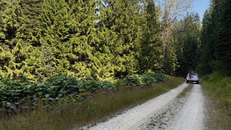
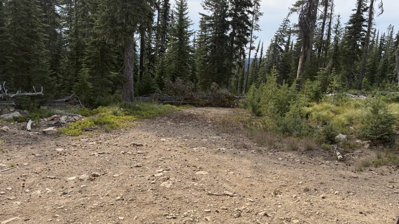
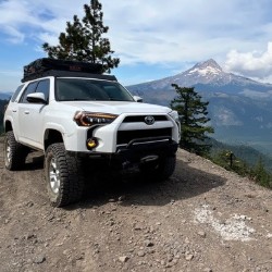
If it wasn't a very exciting trail, it still gets three stars because of how well-maintained it is. I can't even recall one single pothole the whole 4.5 miles. Otherwise, I was just using it as a conn...
Lorraine Bourget
Official Crew
Rated 3/5
Open
Visited: 08/22/2026
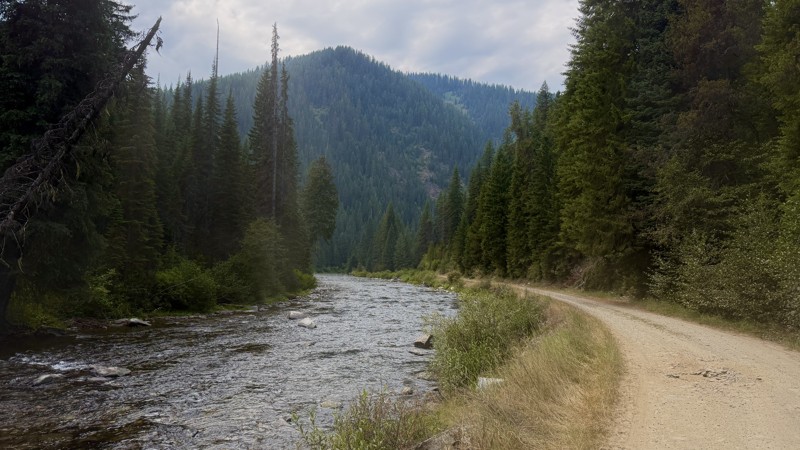
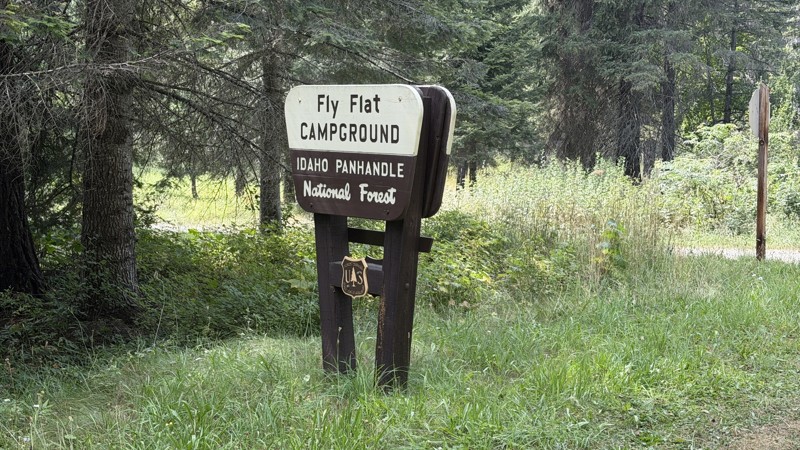
While it was a beautiful drive along the river, I'm rating this road 3 stars. Honestly, I planned my weekend around having the least amount of human contact possible but this section of my loop had ot...
Lorraine Bourget
Official Crew
Rated 5/5
Open
Visited: 08/22/2026
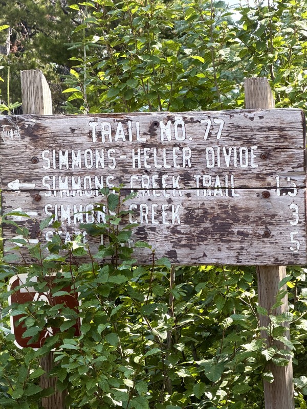
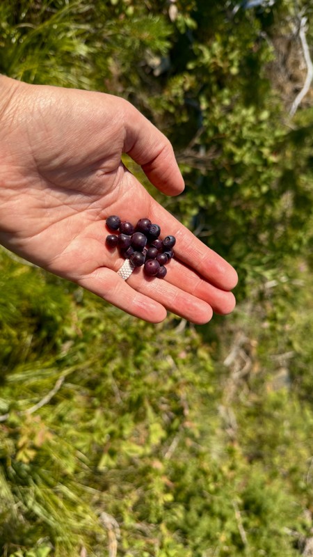
This trail holds a somewhat sentimental value to me. I randomly stumbled across it a couple of years ago when searching for somewhere to use my shower at the top of a mountain. Little did I know I wou...
Lorraine Bourget
Official Crew
Rated 4/5
Open
Visited: 08/21/2026
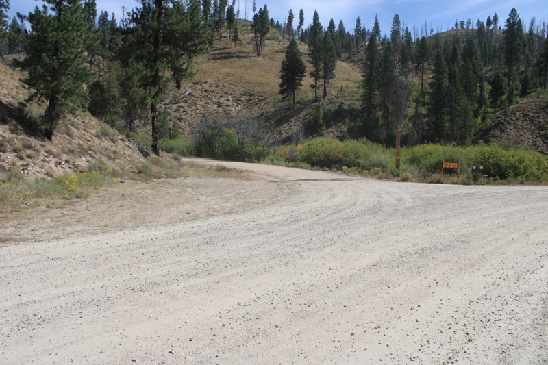
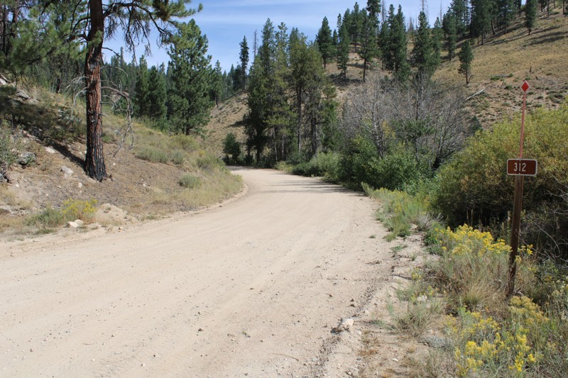
Pike's Fork Road is a spectacular drive into the heart of the Boise National Forest! One of the many dispersed campsites along its length makes an excellent destination for one night on a multi-night...

Bill Ward
Official Crew
Rated 5/5
Open
Visited: 08/16/2026
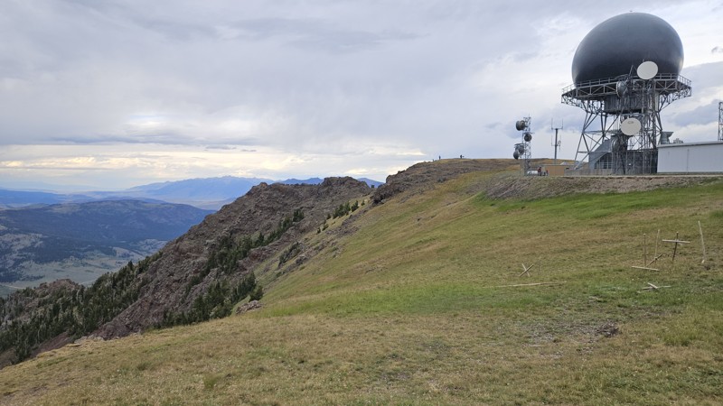
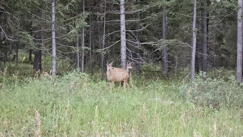
One person can give a group a bad name, especially in the side-by-side world, and that one was on the trail tonight like it was his private racetrack. Otherwise, a very peaceful and enjoyable drive. T...

Cory Wooldridge
Official Crew
Rated 5/5
Open
Visited: 08/11/2026
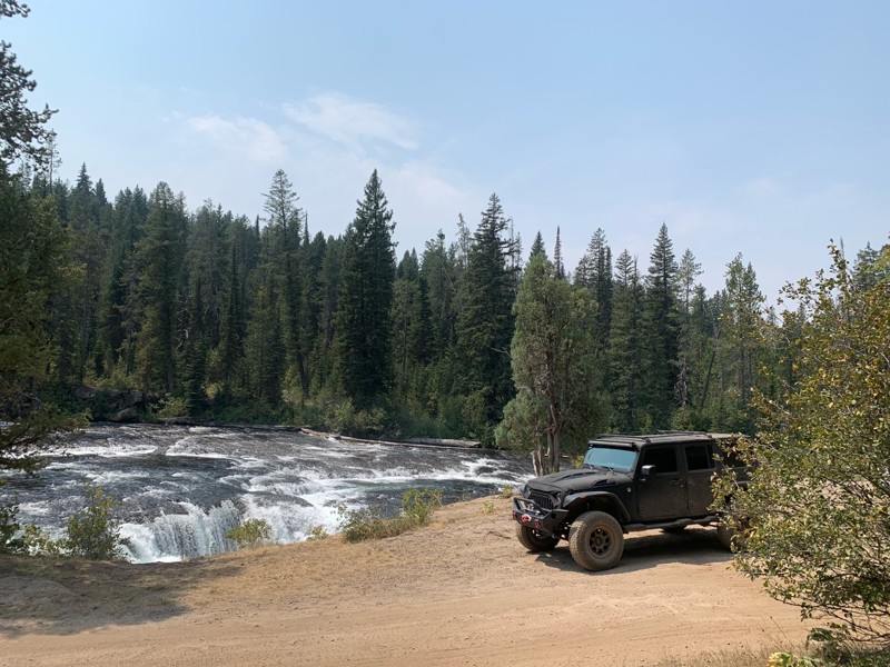
Great Jeep trail! Had fun running it and in pretty good shape. Dry and dusty with a few sections of rocks on decline/incline depending on what direction you’re going. No issues in my lifted Jeep. Not ...
JJ
Jill Jensen
No Rating
Open
Visited: 08/11/2026
Per the MVUM, the trail is seasonally open. As always, check current fire restrictions/closures before venturing out.

Trails Offroad
Official Crew
Open
Visited: 08/11/2026
Per the MVUM, the trail is seasonally open. As always, check current fire restrictions/closures before venturing out.
Trails Offroad
Official Crew
No Rating
Open
Visited: 08/11/2026
Per the MVUM, the trail is seasonally open. As always, check current fire restrictions/closures before venturing out.
Trails Offroad
Official Crew
No Rating
Open
Visited: 08/11/2026
Per the MVUM, the trail is seasonally open. As always, check current fire restrictions/closures before venturing out.
Trails Offroad
Official Crew
No Rating
Open
Visited: 08/11/2026
Per the MVUM, the trail is seasonally open. As always, check current fire restrictions/closures before venturing out.
Trails Offroad
Official Crew
No Rating
Open
Visited: 08/11/2026
Per the MVUM, the trail is seasonally open. As always, check current fire restrictions/closures before venturing out.

Todd
Official Crew
No Rating
Open
Visited: 08/11/2026
Per the MVUM, the trail is seasonally open. As always, check current fire restrictions/closures before venturing out.
Todd
Official Crew
No Rating
Open
Visited: 08/11/2026
Per the MVUM, the trail is seasonally open. As always, check current fire restrictions/closures before venturing out.
Todd
Official Crew
No Rating
Open
Visited: 08/11/2026
Per the MVUM, the trail is seasonally open. As always, check current fire restrictions/closures before venturing out.
Todd
Official Crew
No Rating
Open
Visited: 08/11/2026
Per the MVUM, the trail is seasonally open. As always, check current fire restrictions/closures before venturing out.
Todd
Official Crew
No Rating
Open
Visited: 08/11/2026
Per the MVUM, the trail is seasonally open. As always, check current fire restrictions/closures before venturing out.
Todd
Official Crew
No Rating
Open
Visited: 08/11/2026
Per the MVUM, the trail is seasonally open. As always, check current fire restrictions/closures before venturing out.
Todd
Official Crew
No Rating
Open
Visited: 08/11/2026
Per the MVUM, the trail is seasonally open. As always, check current fire restrictions/closures before venturing out.
Todd
Official Crew
No Rating
Open
Visited: 08/11/2026
Per the MVUM, the trail is seasonally open. As always, check current fire restrictions/closures before venturing out.
Todd
Official Crew
No Rating
Open
Visited: 08/11/2026
Per the MVUM, the trail is seasonally open. As always, check current fire restrictions/closures before venturing out.
Trails Offroad
Official Crew
No Rating
Open
Visited: 08/11/2026
Per the MVUM, the trail is seasonally open. As always, check current fire restrictions/closures before venturing out.
Trails Offroad
Official Crew
No Rating
Open
Visited: 08/11/2026
Per the MVUM, the trail is seasonally open. As always, check current fire restrictions/closures before venturing out.
Trails Offroad
Official Crew
No Rating
Open
Visited: 08/11/2026
Per the MVUM, the trail is seasonally open. As always, check current fire restrictions/closures before venturing out.
Trails Offroad
Official Crew
No Rating
Open
Visited: 08/11/2026
Per the MVUM, the trail is seasonally open. As always, check current fire restrictions/closures before venturing out.
Trails Offroad
Official Crew
No Rating
Open
Visited: 08/11/2026
Per the MVUM, the trail is seasonally open. As always, check current fire restrictions/closures before venturing out.
Trails Offroad
Official Crew
No Rating
Open
Visited: 08/11/2026
Per the MVUM, the trail is seasonally open. As always, check current fire restrictions/closures before venturing out.
Trails Offroad
Official Crew
No Rating
Open
Visited: 08/11/2026
Per the MVUM, the trail is seasonally open. As always, check current fire restrictions/closures before venturing out.
Trails Offroad
Official Crew
No Rating
Open
Visited: 08/11/2026
Per the MVUM, the trail is seasonally open. As always, check current fire restrictions/closures before venturing out.
Trails Offroad
Official Crew
No Rating
Open
Visited: 08/11/2026
Per the MVUM, the trail is seasonally open. As always, check current fire restrictions/closures before venturing out.
Trails Offroad
Official Crew
No Rating
Open
Visited: 08/11/2026
Per the MVUM, the trail is seasonally open. As always, check current fire restrictions/closures before venturing out.
Trails Offroad
Official Crew
No Rating
Open
Visited: 08/11/2026
Per the MVUM, the trail is seasonally open. As always, check current fire restrictions/closures before venturing out.
Trails Offroad
Official Crew
No Rating
Open
Visited: 08/11/2026
Per the MVUM, the trail is seasonally open. As always, check current fire restrictions/closures before venturing out.
Trails Offroad
Official Crew
No Rating
Open
Visited: 08/11/2026
Per the MVUM, the trail is seasonally open. As always, check current fire restrictions/closures before venturing out.
Trails Offroad
Official Crew
No Rating
Open
Visited: 08/11/2026
Per the MVUM, the trail is seasonally open. As always, check current fire restrictions/closures before venturing out.
Trails Offroad
Official Crew
No Rating
Open
Visited: 08/11/2026
Per the MVUM, the trail is seasonally open. As always, check current fire restrictions/closures before venturing out.
Trails Offroad
Official Crew
No Rating
Open
Visited: 08/11/2026
Per the MVUM, the trail is seasonally open. As always, check current fire restrictions/closures before venturing out.
Trails Offroad
Official Crew
No Rating
Open
Visited: 08/11/2026
Per the MVUM, the trail is seasonally open. As always, check current fire restrictions/closures before venturing out.
Trails Offroad
Official Crew
No Rating
Open
Visited: 08/11/2026
Per the MVUM, the trail is seasonally open. As always, check current fire restrictions/closures before venturing out.
Trails Offroad
Official Crew
No Rating
Open
Visited: 08/11/2026
Per the MVUM, the trail is seasonally open. As always, check current fire restrictions/closures before venturing out.
Trails Offroad
Official Crew
No Rating
Open
Visited: 08/11/2026
Per the MVUM, the trail is seasonally open. As always, check current fire restrictions/closures before venturing out.
Trails Offroad
Official Crew
No Rating
Open
Visited: 08/11/2026
Per the MVUM, the trail is seasonally open. As always, check current fire restrictions/closures before venturing out.
Trails Offroad
Official Crew
No Rating
Open
Visited: 08/11/2026
Per the MVUM, the trail is seasonally open. As always, check current fire restrictions/closures before venturing out.
Trails Offroad
Official Crew
Most Popular

Updated: 08/13/2026
Beetle Creek
Prichard, Idaho
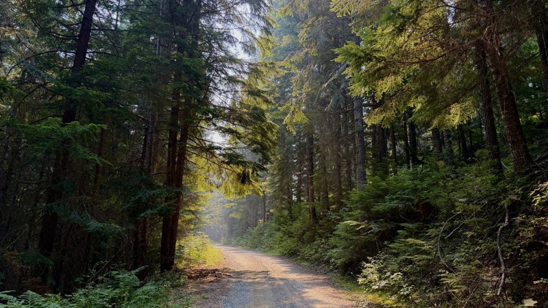
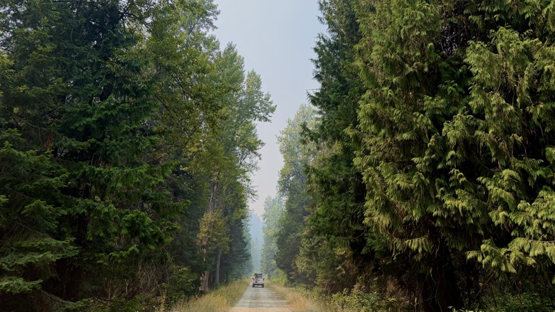
Beetle Creek Road 2367 is a short, 1.7-mile dirt road that climbs through cedars and ferns, connecting Road 208 to Road 513. It is mainly smooth dirt and rocks, but is rated moderate due to large, eroded sections and deep ruts that are often unavoidable.
High clearance is highly advised, while 4wd and airing down may not be necessary.
There is one dispersed camping site near the intersection of Road 513.
Updated: 08/26/2026
West Fork Steamboat Creek
Linfor, Idaho
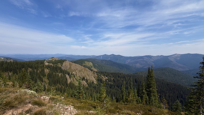
Road 409 begins as a well-maintained gravel road as it winds along the West Fork Steamboat Creek. It offers a wide variety of landscapes from beginning to end.
In the lower elevations, dispersed campsites dot the sides of the road, shaded by cedars, cottonwoods, and lush greenery along the shores of the creek.
As your altitude increases, the road becomes more rugged. After crossing road 335, it narrows into a one-vehicle-wide shelf road. At this point, camping is no longer an option. You maintain elevation as you wind along the mountainsides through a powerline corridor, alternating between sunny, exposed, south-facing slopes and the welcoming shade of north-facing slopes as you enjoy this lightly-traveled portion of the Coeur d'alene National Forest.
This road can easily be driven in a 2WD vehicle and the lower section near the creek can accommodate trailers. However, towing may not be advisable on the narrower, more rugged upper section.
Updated: 09/02/2026
Simmons Ridge
Foraker, Idaho
Simmons Ridge Road, FS 346, is a short, 3-mile out-and-back spur off of Red Ives Creek Road in the Idaho Panhandle National Forest.
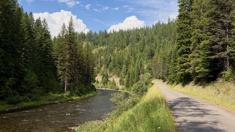
The entire length of the road remains above 6,000' elevation, treating you to expansive views of the surrounding Bitterroot Mountains. The road is lined with low underbrush consisting of beargrass and huckleberry bushes, commonly laden with berries through July and August.
There is a large, flat campsite at the northernmost point of the trail where several trailheads for hiking and dirt biking branch off to the North. At this point, the road makes a sharp, hairpin turn to the South and makes the final slow, rocky ascent to the site of the former Simmons Peak Lookout, which was struck by lightning and burned in 1984. From here, you can see singletrack trails zigzagging across neighboring ridgelines, as well as high distant high peaks like Sherlock Peak and Simmons Peak.
Updated: 09/02/2026
St Joe River
Foraker, Idaho
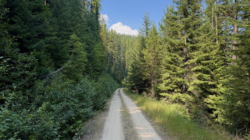
St. Joe River Road, FS 218, winds along the edges of the river that shares its name. It is a popular destination for outdoor enthusiasts of all types; anglers, equestrians, and hikers flock to the area to revel in the beauty of the Idaho Panhandle National Forest.
Sections of the road are gravel, while other sections are broken, rough pavement littered with potholes. Be aware of blind corners and oncoming traffic as you take in the views of fantastic rock formations and steep river canyon walls.
Developed campgrounds are abundant along this route. Fly Flat and Spruce Tree Campgrounds are popular options. Dispersed riverside camp spots can also be found, but are sparse and tend to be spoken for.
Updated: 09/15/2026
East Fork Gold Creek
Drexel, Idaho
East Fork Gold Creek is a short, well-maintained dirt road in the Idaho Panhandle National Forest. Upon turning off of Gold Creek Road 388, you will cross the bridge over Gold Creek and begin a steady climb through a setting of lush ferns and cedars, thimbleberries and goldenrod. The beginning of the road is only one-vehicle-wide but that changes within the first mile or so. Passing any oncoming traffic will pose no issue past that point.
Camping is limited to a few wide turnouts, none of which have fire rings.
Please also note that while it appears open and continues on maps, road 1222 is overgrown, blocked, and impassable at the junction with Berge Peak Road 1219, and no longer connects to road 391.

Upgrade your Membership
Unlock all of the details on every Trail Guide and Scout Route.
Start a 7-day Free TrialBrowse Trails in Idaho by City
Browse every Idaho city with offroad trail guides.
Community
Partners

