













By clicking "ACCEPT", you agree to be the terms and conditions of each policy linked to above. You also agree to the storing of cookies on your device to facilitate the operation and functionality of our site, enhance and customize your user experience, and to analyze how our site is used.
Colorado Off-Road Trails
602
Total Trail Guides 575

6450
Detailed Waypoints 568
Try a Free 7-Day Trial and unlock it all
Start a Free Trial Most Recent Trail Reviews
Rated 5/5
Open
Visited: 09/25/2026
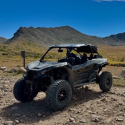
Pretty views but mostly overcast the whole time. No snow up here like there was over at engineer. Bathrooms are closed.

Tyler
Rated 4/5
Open
Visited: 09/25/2026
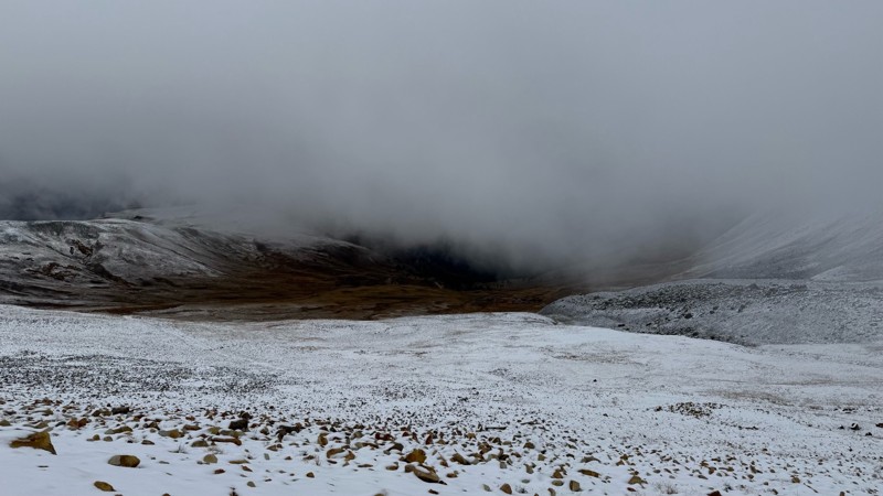
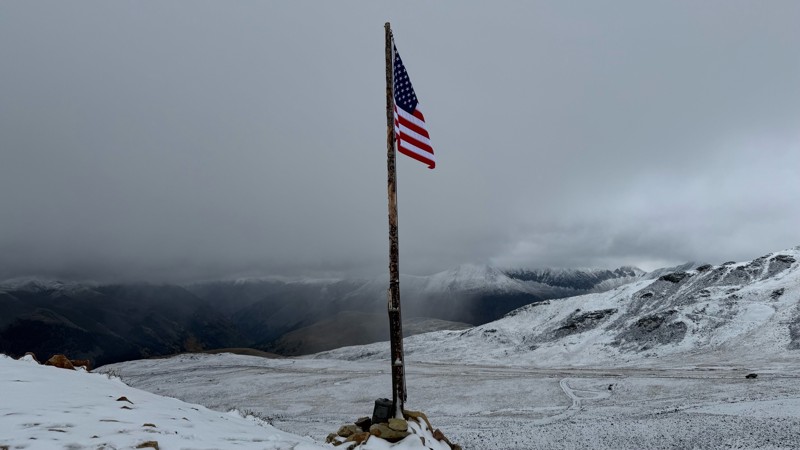
Pretty bumpy with some more rough spots near the top. Has been mostly overcast due to the storms lately. Decent amount of snow up at the top.
Tyler
Rated 5/5
Open
Visited: 09/25/2026
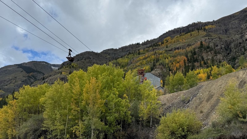
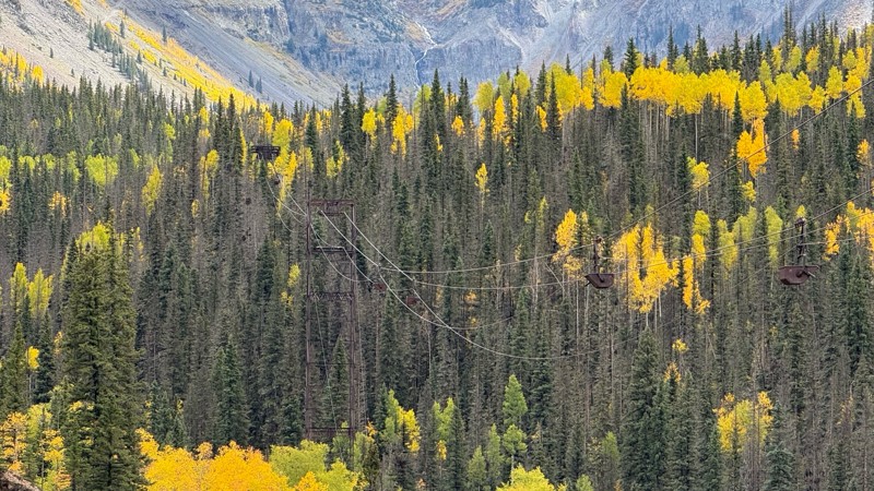
Beautiful fall colors, waterfalls and mining sights. Easy road till you get closer to the pass.
Tyler
Rated 5/5
Open
Visited: 09/24/2026
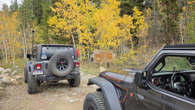
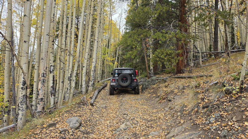
Amazing! Maybe my new favorite trail, at least in Colorado. It was a perfect fall day and no other vehicles on the trail. A bit wet and misty added to the challenge. Pulled line twice mostly because o...

Corey Charlick
Rated 5/5
Open
Visited: 09/24/2026
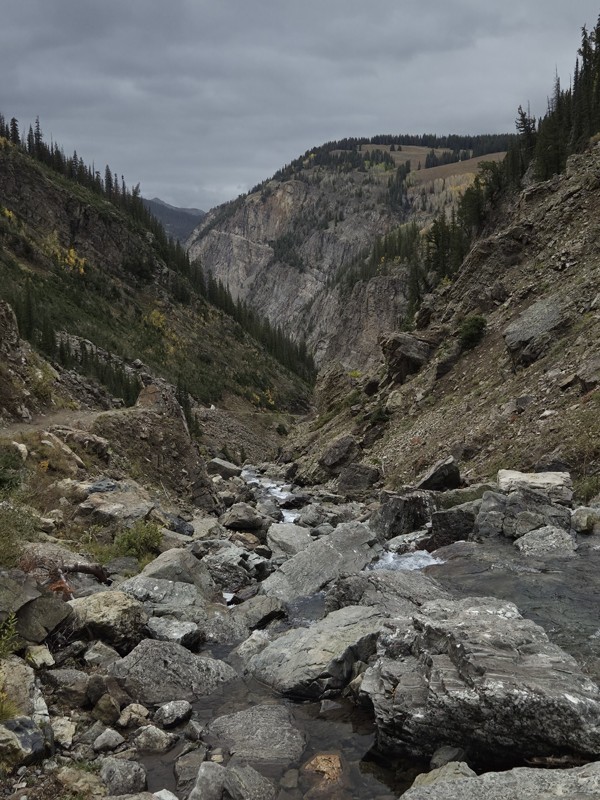
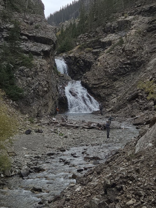
Schofield's reputation is well earned. The shelf roads were sketchy in a few spots, but they were wider than I expected. I was traveling north to south.
Flying solo I was more sketched out for th...
CH
Chris Hebner
Rated 5/5
Open
Visited: 09/24/2026
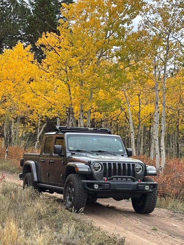
Fun easy trail with great views. Caught the aspens peaking.
LL
Louis L
Rated 5/5
Open
Visited: 09/23/2026
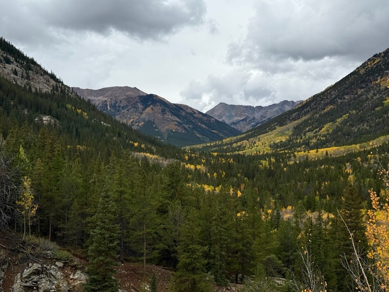
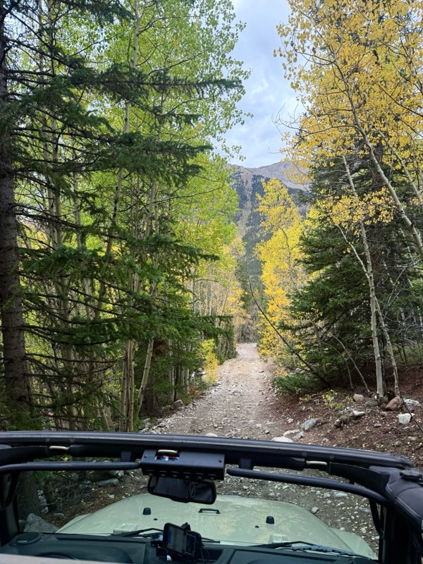
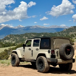
This was a nice trail with little difficulty but plenty to offer between the creek crossings, peaceful forest, good views, and an awesome lake a short walk from the end.
Normally an “Optional” diffic...
Josh
Rated 4/5
Open
Visited: 09/23/2026
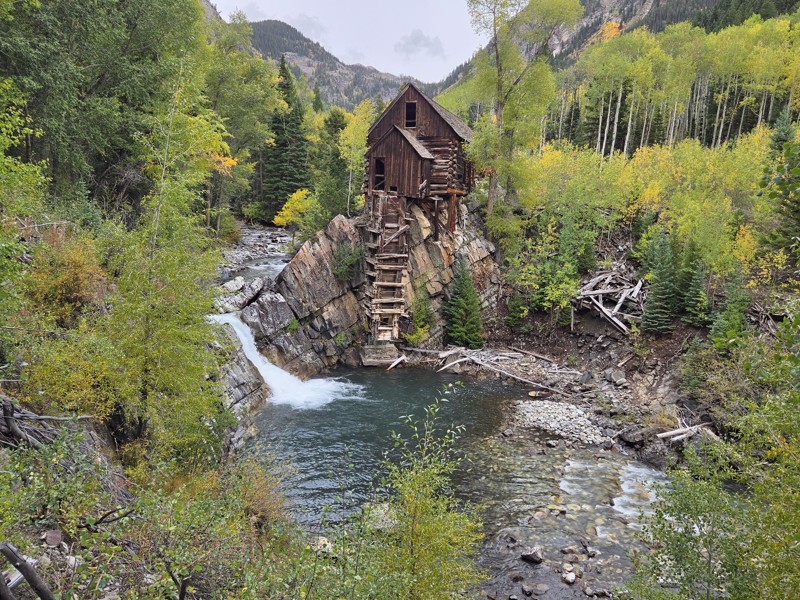
BUMPY!!! Don't let the 2 rating fool you. The trail isn't at all difficult, but it is bumpy! I arrived in the area in the afternoon and thought I'd take a quick trip up to check out Crystal Mill. ...
CH
Chris Hebner
No Rating
Open
Visited: 09/23/2026
Great medium level drive. Allow time to get to trail head as the washboard getting there is rough. It was worth it though.
KE
Keith Early
Rated 5/5
Open
Visited: 09/23/2026
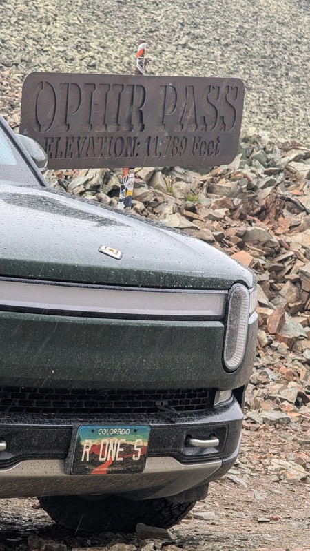
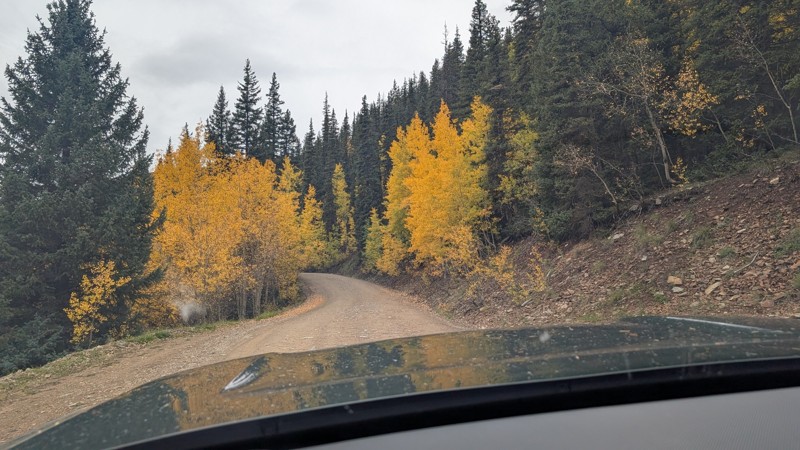
nice trail with good views. a classic in the San Juans... it's not quite as easy as 2 but not a true 3 either. Totally doable with a stock 4WD.

Mustafa ParDane
Official Crew
Rated 5/5
Open
Visited: 09/23/2026
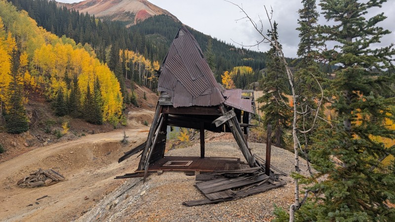
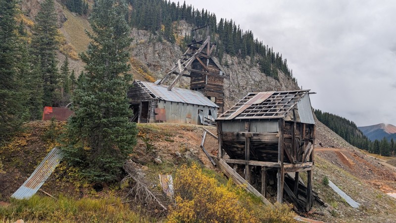
Nice fun easy trail! You will see lots of mines. I mean lots of them. If you are into it, this is the trail for you :)
Mustafa ParDane
Official Crew
Rated 5/5
Open
Visited: 09/23/2026
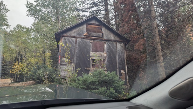
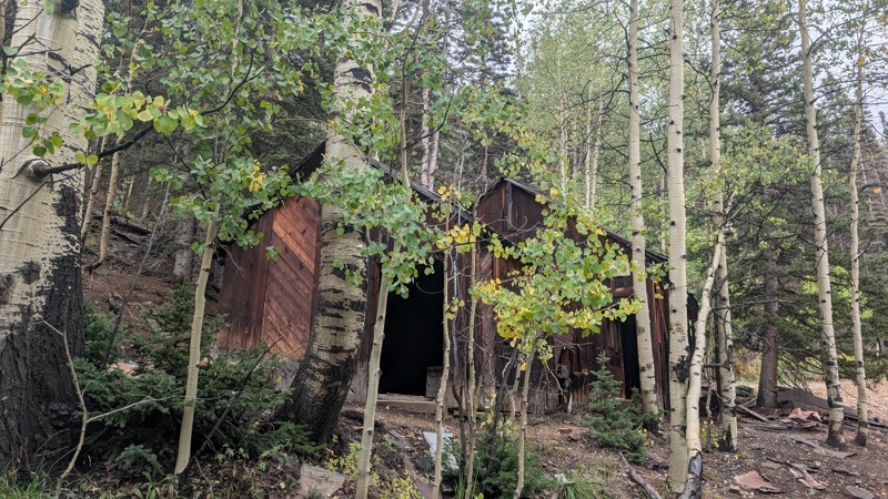
It's a steep climb all the way from the beginning to the top but there is no real obstacles. You will see some cool mines. And the views are awesome. You will see some good views of the Red Mountain p...
Mustafa ParDane
Official Crew
Rated 5/5
Open
Visited: 09/23/2026
We frequent this route probably once a week from GoG to Woodland Park. Be very careful on the blind curves - no shortage of knuckleheads driving way too fast (a biker was struck fatally in June). Us...
TC
Tim Crane
Rated 5/5
Open
Visited: 09/22/2026
Scenic road connecting to other alpine loop trails. it's not very technical or hard. but if you don't prefer shelf roads, maybe that can be considered hard. Red Mountain peaks are awesome. the scenery...

Mustafa ParDane
Official Crew
Rated 5/5
Open
Visited: 09/22/2026
Besides the shelf roads, there is not other bug obstacle or anything technical. As always, it has really good views :)


Mustafa ParDane
Official Crew
Rated 5/5
Open
Visited: 09/22/2026
Views are awesome as always with any alpine loop trails. There is a very short hike at the summit that takes you to even higher point with better views. Lake Como looks very good from there.


Mustafa ParDane
Official Crew
Rated 5/5
Open
Visited: 09/22/2026
Started from Lake City as most people recommend running the alpine loop clockwise. I think that was a wise choice because I didn't have a lot of ongoing traffic. The views are awesome and they start r...


Mustafa ParDane
Official Crew
Rated 5/5
Open
Visited: 09/22/2026
Tough trail, lots of technical spots throughout. Dont attempt solo or with any kind of stock truck!


Greg Dermann
Rated 4/5
Open
Visited: 09/22/2026
Just a dirt road with lots of potholes. Nothing technical. Drove this up to the 401 Trailhead to bike. Pretty busy with folks camping and leaf peeping. Overall it is in a pretty area and theres good c...



Davis McPherson
Rated 4/5
Open
Visited: 09/22/2026
Ok I have not run that trail in the last 4 years. I don't recall it looking like the photos. Did it recently get this way (rock garden) and get the difficult rating?
C
coyoteslocos
No Rating
Temporary Closure
Visited: 09/21/2026
Sign at the bottom of the hill says road construction but when you get to the turn off it is blocked.
PD
Paul Dixon
Rated 5/5
Open
Visited: 09/21/2026
Ran the trail from Westcliff side over the pass and into Great Sand Dunes NP. Had great weather. Don't think it had rained much in the days prior. So, the trail was dry. Think the difficulty ratin...



Stephen
Rated 5/5
Open
Visited: 09/21/2026
Id put it at a 3 some larger rocks mud and shelf roads: beautiful trail. Highly recommend.


Brian mckie
No Rating
Open
Visited: 09/21/2026
There is an area towards the end of this trail not long before it opens into the meadow that is very shaded and has become a mud hole. Well, somebody with a vehicle not capable enough to get through i...

Curt Greeley
Rated 5/5
Open
Visited: 09/20/2026
Ran this trail for the first time on 9/20/26. Absolutely stunning views and the leaves were almost at peak. This might be my new favorite trail to run during this time of year. Not difficult, but long...



Jack Mackie
Rated 4/5
Open
Visited: 09/20/2026
I wanted to run this trail on my way out from the gulches area but when I got down to the first stream crossing it had a few large logs placed in it. Im not sure if this is for traction or what, but I...
Jack Mackie
Rated 5/5
Open
Visited: 09/20/2026
First time out here and I ran this alone on 9/20/26 coming back from Old Stage 220. Took Sportsman Rd to get to 220 so I decided to take this to trail to get back to Cedar Mtn Rd. This is more fun tha...
Jack Mackie
Rated 5/5
Open
Visited: 09/20/2026
This is one of my favorite trails. I like to start at St. Mary's and run it in reverse lf this trail guide. I prefer to take most of the steep sections downhill, but if you want a fun challenge, then ...


Tim
Rated 5/5
Open
Visited: 09/20/2026
Ran this on 9-20-26 up to the Phoenix rocks. WK2 3" lift on 33's. Never been in this area before but I have read many of the reviews on here about the gulch trails. I was alone and the phoenix rocks w...

Jack Mackie
SH
Sharon Hansen
Rated 5/5
Open
Visited: 09/20/2026
Maiden voyage for my stock suspension 1994 Wrangler. The trail was surprisingly rocky in the beginning. Beautiful views and not too much traffic.
SH
Sharon Hansen
Rated 2/5
Partially Open
Visited: 09/20/2026
While there were some aspen views, this is not the best place to find them. Most of the views of the surrounding area are obscured by pine trees that are close to the road. Many of the overlooks are o...
MG
Mike Gerdts
Rated 4/5
Open
Visited: 09/20/2026
We enjoyed the trail. Beautiful scenery. Definately narrow in some areas. The terrain itself wasn't so difficult. Clearence is needed for some of the rocks in the trail.


Lisa Johnson
Rated 4/5
Open
Visited: 09/19/2026
Ran it in a 157"WB F150 on 33's, and would probably run it in a passenger car. Great views, easy climb and the switchbacks were totally navigable in a fullsize. Some of the roads on top are more app...
J
Justin
Rated 5/5
Open
Visited: 09/19/2026
The last descent at the end is kind of muddy so take it extra slow.



Joshua Scurran
Rated 5/5
Open
Visited: 09/19/2026
Ran east to west. The ascent at waypoint 14 has been cleaned up considerably - not sure if this was the work of the recovery crew we passed who were headed up Mt Baldy road, but it was much less rocky...

Jeff Dew
JG
Joseph G Botthof III
No Rating
Temporary Closure
Visited: 09/19/2026
Following up on Ryan's post, multiple incidents have occurred of vehicles sliding off the trail at washouts. CO4x4RNR was up yesterday recovering a vehicle, and we were told the trail will remain clo...

ERIC D BROWN
Rated 5/5
Open
Visited: 09/19/2026
Epic views at the top make this in and out road a must see on my list. Shelf roads with a few areas for passing. Switchbacks and 12"-18" boulders in only a few places to navigate. 4wd and good clearan...



Desi
Rated 5/5
Open
Visited: 09/19/2026
Expect closures Sept 21-24 for pipeline maintenance starting near the trestle. Perhaps related, there’s a rusty 4-6” pipe sticking out of a puddle near the trailhead at the top.
It’s been a bit rai...

MG
Mike Gerdts

Kirk Kneezle
Kirk Kneezle
Kirk Kneezle
WH
William Harkcom
Rated 5/5
Open
Visited: 09/18/2026
Great trail. Lots of fun, great views. Loved all the rock outcroppings.



Jessica H
Rated 5/5
Open
Visited: 09/18/2026
Short but fun. Right mix of technical and scenic. Ran this with Solitude Creek. Great views but that initial climb looked daunting but once you get into it wasn’t that bad.


Jessica H
No Rating
Temporary Closure
Visited: 09/18/2026
Forest Service has closed the trail due to washout damage. No ETA yet on fixes or reopening.


Ryan Boudreau
Official Crew
No Rating
Open
Visited: 09/18/2026
Only drove it to the Chinns Lake cutoff, but that part was in great condition. They've recently laid down new gravel on the lower portion in the neighborhood, it is super smooth.
S
Scott
Most Popular

Updated: 03/17/2025
Comanche Grassland - King Arroyo
La Junta, Colorado
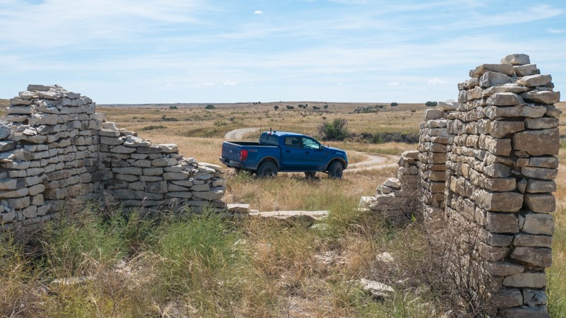
Comanche National Grassland features a sprawling network of double-track trails through rolling hills and arroyos on the plains of southeastern Colorado. On a clear day, you can see from Pikes Peak to the Spanish Peaks and all the way out to Kansas. This area is open year-round and is usually passable even in the winter when the mountain trails are often snowed in. The area is popular for big game hunters and is most busy during hunting season.
King Arroyo (FS 2172) is a well-marked and worn double track through grass and low bushes, with some small rolling hills. The trail surface is a mixture of gravel and fine dirt. When wet, this dirt can be extremely slippery.
Any stock 4x4 with moderate clearance can easily travel this trail. The trail passes near the ruins of a stone house built in the 1880s.
This is active ranch land, and grazing cattle are common. The trail passes through several gates. Be sure to leave any gates how you found them. If they are closed, close them behind you after passing through. If cattle are on the road, drive slowly and wait for the cattle to move out of the way.
Dispersed camping is permitted anywhere up to 1 vehicle length from the trail on National Forest Service land. However, there are no existing improved campsites. Leave your campsite the way you found it. The trail passes near private land, be sure you are on public land before setting up camp.

Updated: 10/15/2024
16 Road
Mack, Colorado
16 Road starts as pavement further south towards I-70 and turns to gravel and dirt where this track starts. 16 Road connects several other trails and eventually dead-ends at a private ranch. The route passes several canyons, including Stove Canyon, Garvey Canyon, Buniger Canyon, Hatcher Canyon, Post Canyon, and Upham Canyon. Plan on driving through mixed areas of residential and private property. A portion of the trail is a burnt-out landscape from the 2020 Pine Gulch Fire. The trail offers a few campsites outside of the burn areas.
Updated: 10/15/2024
Upper Illinois
Abbeyville, Colorado
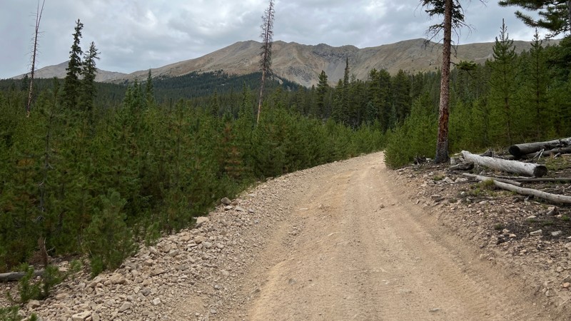
Upper Illinois is an easy out-and-back trail that takes you to the Lunch Lake/Lake Ann hiking trailhead and also serves as an access point to the Timberline trail for dirt bikes.
The trail is mostly dirt but rocky at times. There are no obstacles other than a few rutted-out sections of trail. Any vehicle with clearance could easily drive this trail.
There are a handful of campsites along the trail.
Updated: 10/29/2025
Waldorf Wagon Road
Silver Plume, Colorado
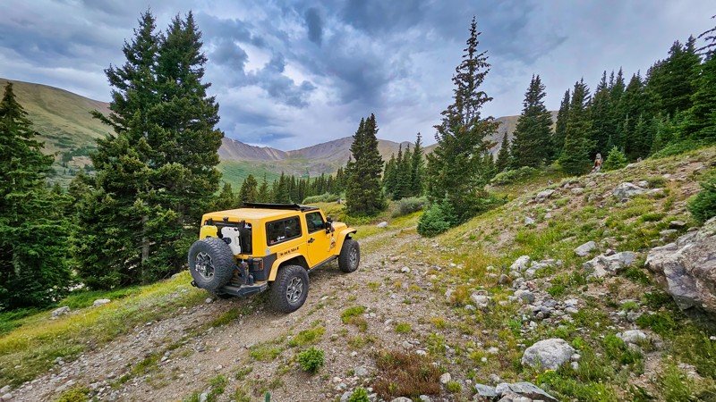
Waldorf Wagon Road, originating from Leavenworth Creek Road and reconnecting to it, offers a scenic straight-through trail that serves as an engaging detour to the historic Waldorf Mine. This route is slightly rocky, providing a bit of challenge and adventure as it passes Santiago Cutoff Road. As a scenic and rougher alternative, it enhances any trip to the area with beautiful views and a touch of rugged terrain. While camping is allowed within 300 feet of the road’s centerline, no established sites exist.
Updated: 02/18/2025
18 Road
Loma, Colorado
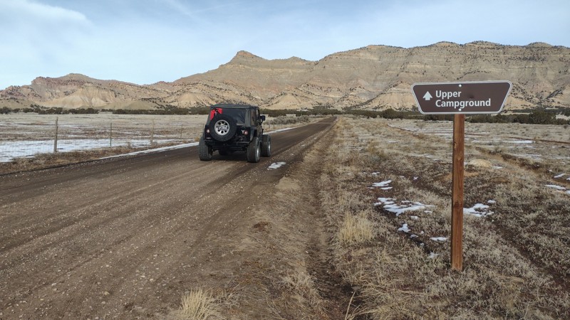
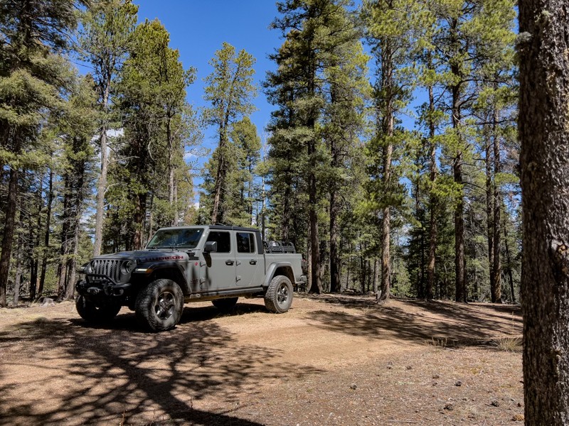
18-Road is an easy 5.8-mile connector trail that travels through the North Desert OHV area with world-class mountain bike and OHV trails. The road travels up to the base of the Book Cliffs, where numerous recreation trails crisscross the region. The trail system and abundant camping provide great opportunities to experience the diverse desert environment along the base of the Bookcliffs.
At the trail's end, the North Fruita Desert Campground has primitive-type campsites with picnic tables, fire rings, and vault toilets but no water. Campsite rates are $20 per night and include up to 10 people and 2 vehicles. There is an $8 non-refundable reservation fee for each reservation. Food, lodging, and other supplies can be found nearby in the City of Fruita.
Updated: 10/15/2024
County Line
Palmer Lake, Colorado
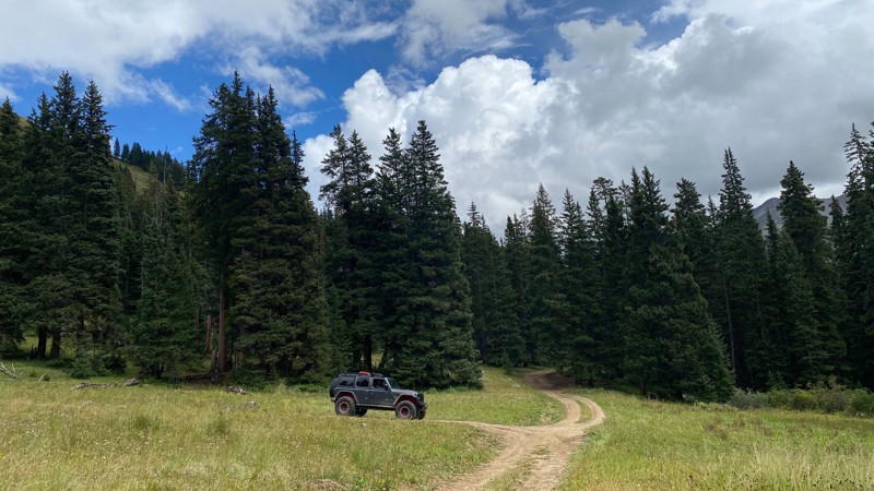
Intersecting Ice Cave Road at Waypoint 9, County Line, numbered 324.B, is a short spur road offering little more than more trail mileage. Views of Pikes Peak are hidden behind the dense pines of the Pike National Forest. Although the description from Ice Cave Road advises there are campsites along this trail, the handful of offshoot trails on FSR 324.B have had their fire rings dismantled. If you’re coming to FRS 324.B looking for a campsite and want a campfire, it is recommended that you turn back and look for one along Ice Cave Road or Rampart Range Road. FSR 324.B is not a difficult trail, but with the heavy rain the area has received recently, the existing ruts may become more serious obstacles over time.
Updated: 10/15/2024
McNasser Gulch
Winfield, Colorado
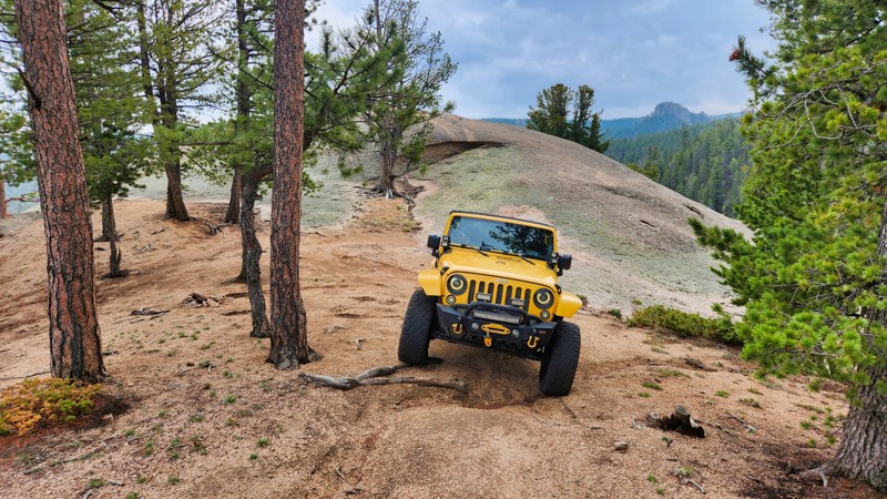
McNasser Gulch is the northernmost route in the Red Mountain Trail system. The road is mostly used to access hiking trailheads for Ouray Peak (12,907'), Grizzly Peak (13,970'), and Garfield Peak (13,756'). The road is accessible for any 4x4 high-clearance vehicle with a low range. There are no existing dispersed campsites along the road. Dispersed camping is available along the South Fork Lake Creek Trail.
Updated: 10/15/2024
Unit C Road
Palmer Lake, Colorado
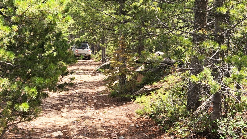
Unit C Road is one of the many camping spurs along Rampart Range Road, with a spectacular spot to view the valley below at the trail's end. The campsite at the bottom is small, but combined with this epic view, it's worth a stay.
Updated: 10/15/2024
Pearl Beaver Spur
Red Feather Lakes, Colorado
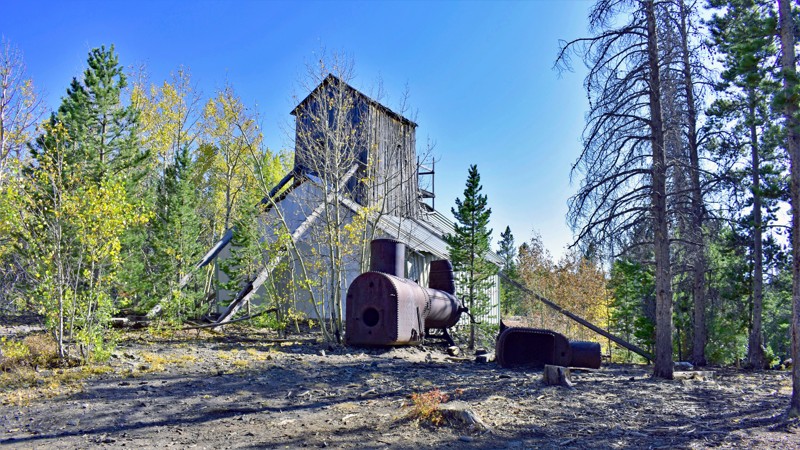
Pearl Beaver Spur is an out-and-back spur off Pearl Beaver Road with two forks. The first 0.8 miles is wide, gravel road with several large, open campsites suitable for larger groups, RVs, and travel trailers. Once you get to the split, both forks become much narrower and rougher, especially the south fork, which earns this trail it's moderate rating. This fork has several small rock obstacles and is very tight and overgrown. Branches will brush the side of your vehicle. The north fork is not quite as tight and rough but has a few places branches might rub and a couple of minor rocky spots. Once you pass the intersection of the two forks, there is little or no room to camp.
Updated: 07/03/2023
Village Belle Road
Walden, Colorado
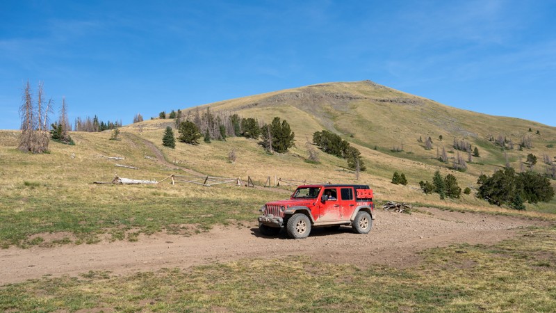
The US Forest along the Colorado-Wyoming border has a rich history of logging and mining dating back more than a century. Evidence of these activities are still visible today along Village Belle Road. Although Village Belle Road ends near the US Continental Divide, visitors will remain in the densely treed forest without realizing they are near this significant geographical spot. An existing mine shaft, the Village Belle Mine, is located to the south approximately .5 miles past the trail's end waypoint. The mine is located along Medicine Bow Road and easily accessible.
If a quiet off-road experience is what you're looking for, Village Belle Road can meet your expectations. This area of the forest is far enough away from the city hustle and bustle that it does not see many people and can be ideal for a quiet afternoon drive or a relaxing weekend camping get-away.
Updated: 05/16/2024
East Fork Pinos Road
Del Norte, Colorado
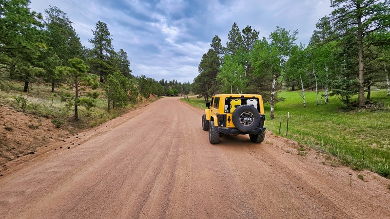
Located in the vast and scenic Rio Grande National Forest, a short distance south of Del Norte, East Fork Pinos Road is a lesser-used trail that traverses the north end of Blowout Pass. This well-maintained forest road offers a remote and tranquil atmosphere as it winds through the rugged terrain north of Marble Mountain and around Fuchs Reservoir. With expansive views of the lesser-known parts of the San Juan Mountains, this trail is a great weekend getaway or can be combined with other nearby forest roads to create a week-long epic overland trip through the remote wilderness of Southern Colorado.
Updated: 10/15/2024
Spruce Road
Westcreek, Colorado
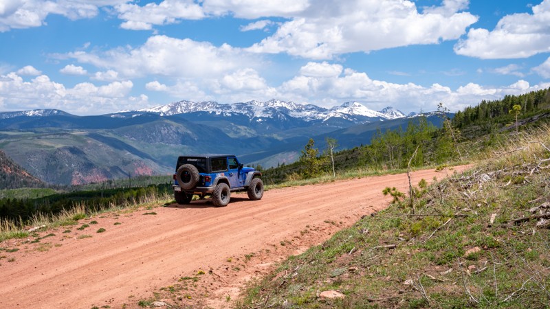
County Road 79, also known as Spruce Road, is a straightforward county road that leads directly to the entrance of Missouri Gulch. While this route may not offer scenic vistas or camping opportunities, its primary value lies in its practicality, providing direct access for those looking for an alternative way into the Rainbow Falls Trail Network. The road is well-maintained even during winter months, with no concerns along the way.
Updated: 08/12/2026
Hardscrabble Road
Eagle, Colorado
Hardscrabble Road is a high mountain pass in Eagle County, Colorado, that traverses diverse ecosystems, from sagebrush and pinyon-juniper at lower elevations to aspen and alpine meadows higher up. This straight-through road ascends nearly 4,000 feet in elevation across its 20-mile stretch. The northern half travels through the Hardscrabble-East Eagle Special Recreation Management Area, offering a blend of high desert and alpine terrains within its 21,900 acres. This end of the road is labeled as County Road 110 and travels across a hard-packed clay that is extremely powdery dust when dry, and peanut-buttery mud when wet. The road is highly warned as "Impassable When Wet" for good reason. The southern half of the trail, labeled as FS 413.1, traverses a rocky and bumpy alpine terrain of grassy meadows, quaking aspens, and thin pine trees. The open, high alpine views offer spectacular views of the Sawatch and Gore Mountain Ranges.
This trail is best suited for a high clearance 4-wheel drive vehicle with aired down tires to ease in comfort over the protruding rocks, ruts, and the overall rough road conditions. It is not a technical drive in dry conditions, and 2WD is all that is necessary. In wet conditions, 4WD will be mandatory.
Dispersed camping can be found periodically throughout the entire trail, with some of the best campsites being right around the Forest Service and BLM boundary. Sites are generally large and can accommodate several vehicles.
Updated: 10/15/2024
Yankee Town
Saint Mary's, Colorado
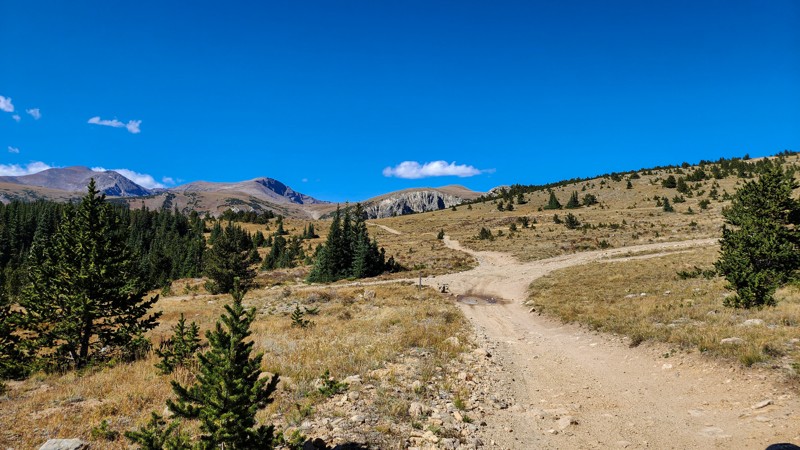
Yankee Town is presumably one of the main streets through the old ghost town of Yankee Hill, but nothing remains of the town itself. This important connector in the Arapaho National Forest's Yankee Hill network provides alternative access to Washoe Gulch, Cumberland Gulch, and Sheridan Hill. The road is mostly rough dirt with small rocks and ruts and occasionally slightly larger rocks and ruts, but nothing difficult. There are nice views of the surrounding mountains at the top end of the trail and nice campsites on the lower portion between Washoe Gulch and Cumberland Gulch. On the east end, a short connector provides a shortcut if you are traveling to or from the main Yankee Hill trail.
Updated: 07/02/2026
Badito
Farisita, Colorado
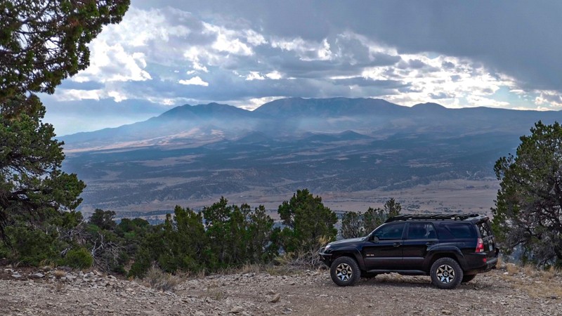
Badito, off Country Road 620, runs through the BLM land and into the San Isabel National Forest. The beginning of the trail is graded dirt, which soon changes to more of a rough and rocky dirt track. The trail climbs through the pinyon and juniper forest along several rocky switchbacks with beautiful views of the Sangre De Cristo Mountains. It is easily driven in a stock SUV in 4WD, but be careful with any larger exposed rock if you are in a lower-clearance vehicle. After several rocky switchbacks, the trail passes along the eastern slope of Badito Cone and down into a grassy field of Arizona Fescue. Just beyond the field, you are surprised with a campsite with ample room for 4-5 vehicles. The fire ring is tucked within the trees, but you have a direct view of Badito Cone.
Updated: 07/02/2026
Salt Road
Fairview, Colorado
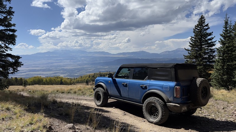
When coming from the north, Salt Road immediately provides outstanding views of the Sangre De Cristo Mountain Range. The trail begins in an expansive meadow and quickly enters an evergreen and aspen forest. From the north, most of the trail is compact dirt, with a few places with rutting. These areas could pose problems on the trail during or after a rain shower. The trail's south end has a steep grade, which is made even more tricky due to the trail being covered with loose rocks ranging from the size of golf balls to softballs. Four low and high clearance is recommended for this section to aid in climbing this hill when coming from the south or descending this hill when coming from the north. No campsites were observed along the trail, but camping is available in the immediate area along other connecting trails.
Updated: 05/28/2026
Big McClosky
Burns, Colorado
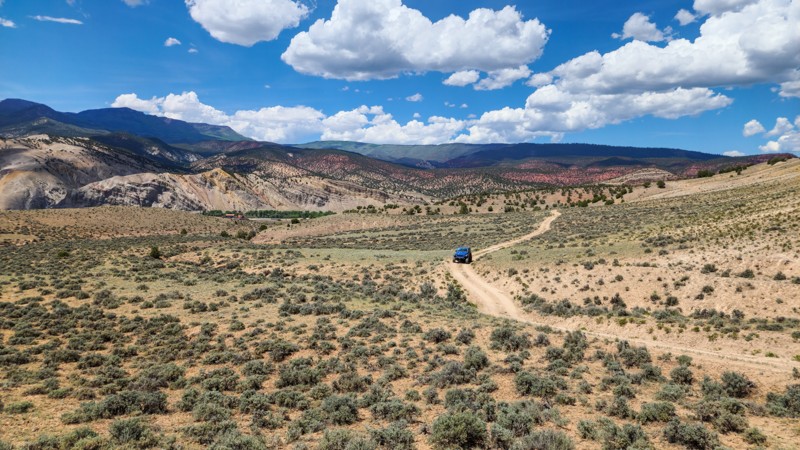
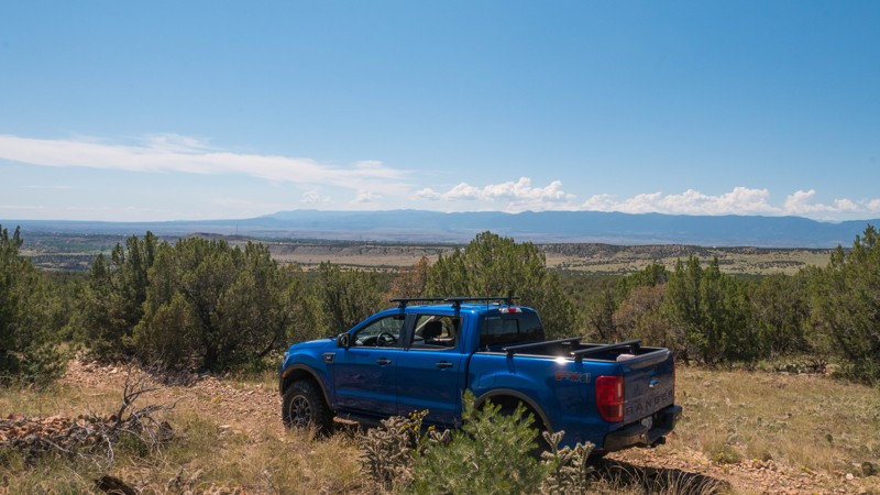
Traveling along the western edge of the Bull Gulch Wilderness Study Area, BLM Road 8479 is an 8-mile, straight-through dirt road that makes its way up and down many rolling hills, encountering 8"-10" rocks along the way. From the north, the road starts as a relatively smooth, hard-packed trail as you gradually climb out of the Colorado River valley, passing through fields of sagebrush. 2 miles in, the road slowly starts to get rougher as it enters Pinyon-Juniper and Douglas Fir forests. You will encounter several moderately steep and loose rock hills and pass a small handful of campsites. Campsites range in size from a single vehicle to multiple vehicles, and almost all offer shade within the trees. Halfway through the trail, you will continuously travel over loose, baseball-sized rocks that will wear out your back if you haven't aired down. 8479's southern side comes to an end as you enter the Gypsum Hills Recreational Area.
This road is suitable for any high clearance vehicle with good suspension and rugged tires. Airing down is highly recommended to help ease the ride's comfort.
Updated: 10/15/2024
Penrose Commons BLM 6102K
Penrose, Colorado
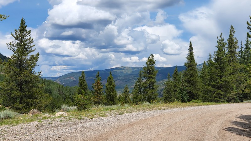
Penrose Commons is a BLM OHV recreation area near Penrose, Colorado. The area is full of crisscrossing full-size and ATV trails of varying difficulty. BLM Route 6102K is a loop off of 6102 in the farthest east corner of the area. It is a narrow rocky trail that twists its way through the juniper trees. Any 4x4 vehicle can traverse the rocky terrain. Full-size pickups may have difficulty passing between the trees without significant pinstriping. Midsize and compact vehicles should be fine with careful driving. The ruins of the Schaeffer Dam, which collapsed in 1921, can be seen in the canyon below across Beaver Creek. Remnants of a stone-lined irrigation ditch cross the trail in several spots. Camping within Penrose Commons is limited to designated sites only, which are marked with camping signs. No campsites can be found along this trail. Vault toilets are located at the entrance to the OHV area.
Updated: 08/11/2026
Jones Gulch Road
Red Cliff, Colorado
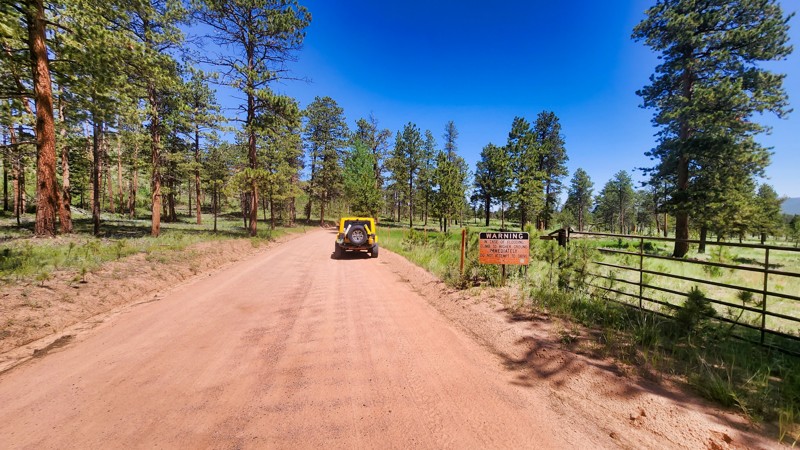
Jones Gulch Road, also known as Old Highway, runs up the side of the hill just south of the historic Camp Hale. It provides access to the Camp Hale East Fork Group Campground and is a pleasant, scenic alternative for returning to Highway 24 from the east side of Camp Hale. The road is graded gravel with a few minor ruts and bumps. Near the top are nice views of the valley below and the mountains across the valley. But once you start down, you remain mostly in dense forest. Dispersed camping is not permitted on Old Highway, but there are several sites on East Fork Eagle River once you are out of Camp Hale.
Updated: 06/10/2026
Painted Rocks Road
Westcreek, Colorado
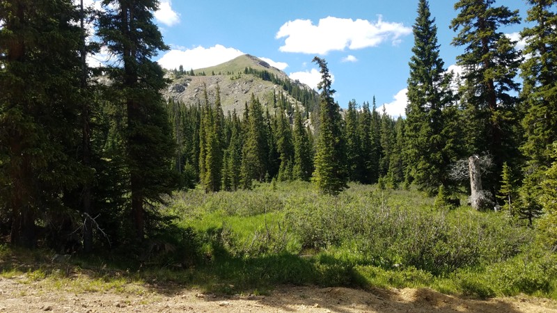
Painted Rocks Road, a well-maintained county trail, provides a smooth ride on a graded dirt surface. Despite no options for dispersed camping, it offers the dedicated Painted Rocks Campground for outdoor enthusiasts. Given the high frequency of small vehicles and pedestrians, cautious driving is advised. This is a straight-through connecting road that eventually becomes West Creek Road, and leads to many beautiful trails including Rule Ridge Road.
Updated: 07/27/2026
Radical Mine
Montezuma, Colorado
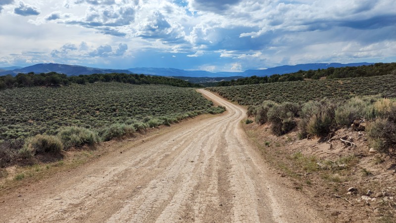
This trail was used to access the ruins of the Mohawk Mine. The USFS has fenced off the last half of the trail. You can still hike up to the Mohawk, but it's not a casual walk. The trail is narrow and rough but not difficult. There is one nice, small, secluded campsite.
Updated: 10/15/2024
Trail Gulch Road 6
Gypsum, Colorado
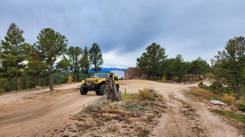
Trail Gulch Road 6 is a primary access road within the Gypsum Hills Recreation Area. It is a 4-mile, straight-through connecting road leading to many other roads in the area and is extremely popular with all types of recreational users. Adventure motorcyclists are not uncommon to see on this road, as it is recognized as a portion of section 5 of the Colorado Backcountry Discovery Route (COBDR). Additionally, you will often see extreme rock buggies along the trail as it is a primary entrance and exit route to several of the hardcore rock crawling trails in the area. The road is primarily an easy, hardpacked surface, 2-lanes wide, and suitable for any vehicle. However, the moderate rating comes from a single, rocky hill, 0.75 miles from the northern end of the trail, just before passing the turn-off for Middle Middle Rock Crawling Trail. This moderate hill is sprinkled with loose rocks, baseball to softball-sized, and will require careful navigation for lower clearance vehicles. Any stock high clearance 4x4 vehicle will handle this spot with ease.
Dispersed camping along the road can be found in several areas. The first location is at the start of the trail's southern end, where many people camp overnight at the kiosk parking lot. The second area is 0.9 miles from this intersection, where you will see a short spur marked as a BLM camping area heading south. This spur leads to 3-4 small sites, best suited for single-vehicle camping and ground tents. The last area is 0.5 miles from the northern end at the intersection with Middle Middle. There, you will find a large grassy and sagebrush camping area suitable for multiple vehicles and groups.
Updated: 04/21/2025
Herman Spur 1 North Road
Palmer Lake, Colorado
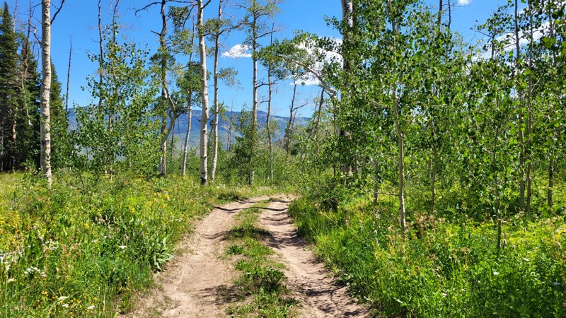
One of the spurs off the popular Mount Herman Road, this trail's primary purpose is camping. There are exposed rocks and rutted areas along the way with bypasses, but this is one of the easier spurs in the area.
Updated: 07/27/2026
Piney Guard Station
Wolcott, Colorado
Piney Guard Station is the destination of this trail. It's a small cabin well back in the woods. The trail passes through pine and aspen groves which are gorgeous during fall colors. The trail is always muddy in spots and can be very muddy if there's been recent rain. Even when dry, the trail is badly rutted. The MVUM shows the trail open a short way beyond the guard station, but our track ends at the cabin.

Upgrade your Membership
Unlock all of the details on every Trail Guide and Scout Route.
Start a 7-day Free TrialBrowse Trails in Colorado by City
Browse every Colorado city with offroad trail guides.
Community
Partners

