













By clicking "ACCEPT", you agree to be the terms and conditions of each policy linked to above. You also agree to the storing of cookies on your device to facilitate the operation and functionality of our site, enhance and customize your user experience, and to analyze how our site is used.
Colorado Off-Road Trails
602
Total Trail Guides 575

6450
Detailed Waypoints 568
Try a Free 7-Day Trial and unlock it all
Start a Free Trial Most Recent Trail Reviews
Rated 5/5
Open
Visited: 09/24/2026
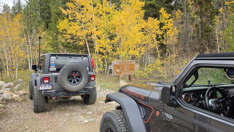
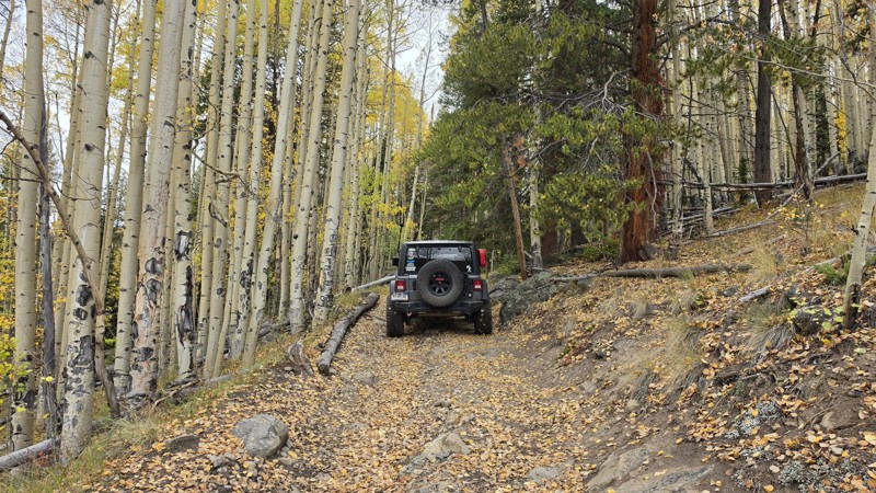
Amazing! Maybe my new favorite trail, at least in Colorado. It was a perfect fall day and no other vehicles on the trail. A bit wet and misty added to the challenge. Pulled line twice mostly because o...


Corey Charlick
Rated 5/5
Open
Visited: 09/24/2026
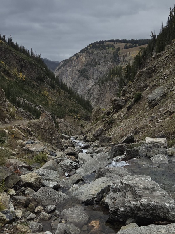
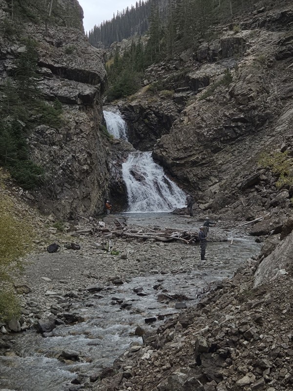
Schofield's reputation is well earned. The shelf roads were sketchy in a few spots, but they were wider than I expected. I was traveling north to south.
Flying solo I was more sketched out for th...
CH
Chris Hebner
Rated 5/5
Open
Visited: 09/24/2026
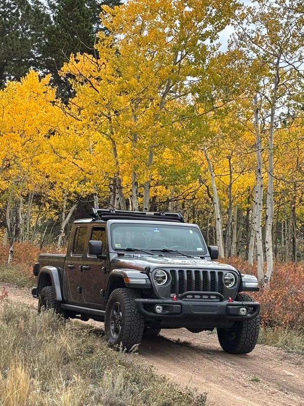
Fun easy trail with great views. Caught the aspens peaking.
LL
Louis L
Rated 5/5
Open
Visited: 09/23/2026
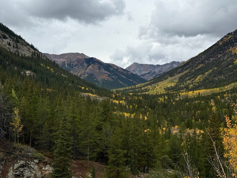
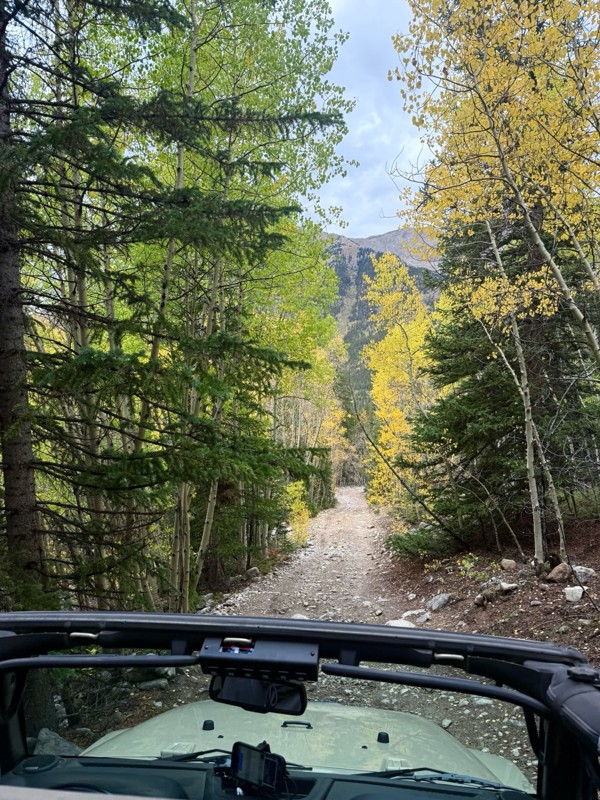
This was a nice trail with little difficulty but plenty to offer between the creek crossings, peaceful forest, good views, and an awesome lake a short walk from the end.
Normally an “Optional” diffic...
Josh
Rated 4/5
Open
Visited: 09/23/2026
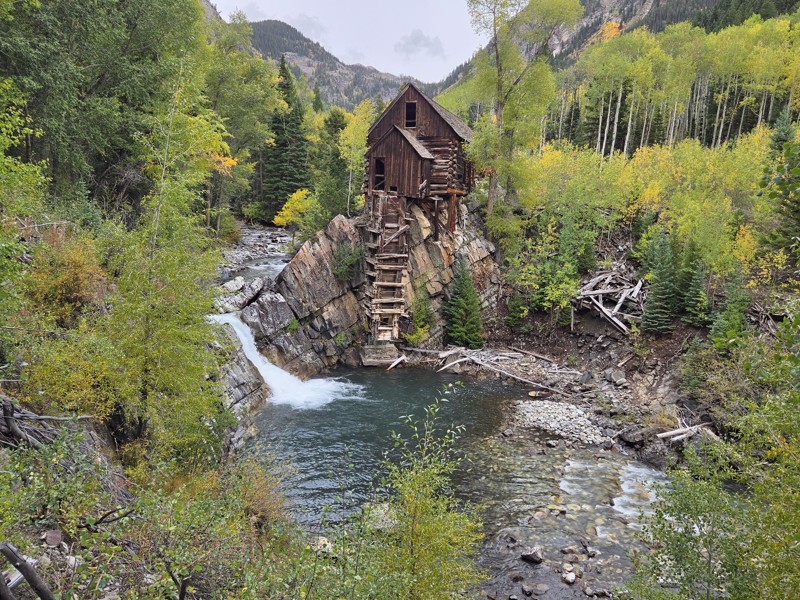
BUMPY!!! Don't let the 2 rating fool you. The trail isn't at all difficult, but it is bumpy! I arrived in the area in the afternoon and thought I'd take a quick trip up to check out Crystal Mill. ...
CH
Chris Hebner
No Rating
Open
Visited: 09/23/2026
Great medium level drive. Allow time to get to trail head as the washboard getting there is rough. It was worth it though.
KE
Keith Early
Rated 5/5
Open
Visited: 09/23/2026
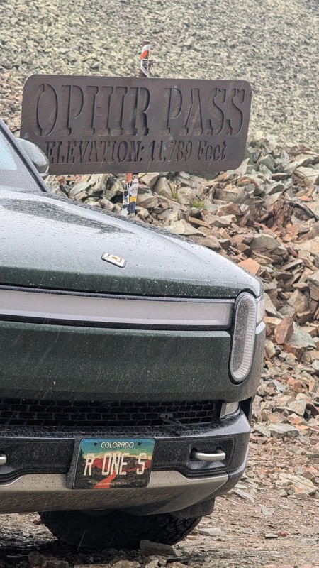
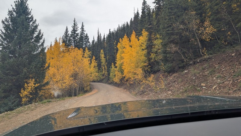
nice trail with good views. a classic in the San Juans... it's not quite as easy as 2 but not a true 3 either. Totally doable with a stock 4WD.

Mustafa ParDane
Official Crew
Rated 5/5
Open
Visited: 09/23/2026
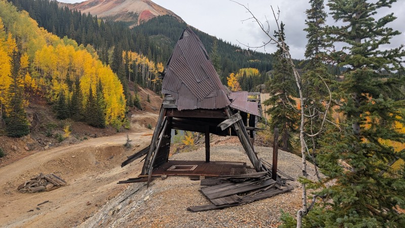
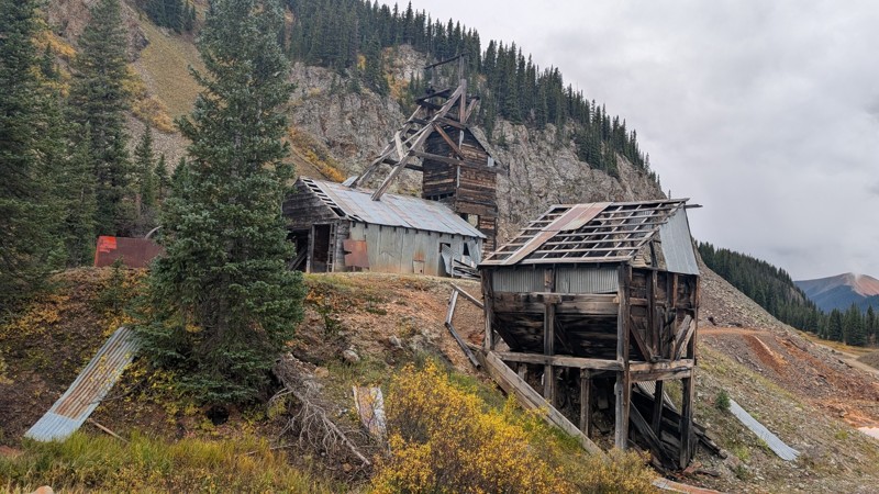
Nice fun easy trail! You will see lots of mines. I mean lots of them. If you are into it, this is the trail for you :)
Mustafa ParDane
Official Crew
Rated 5/5
Open
Visited: 09/23/2026
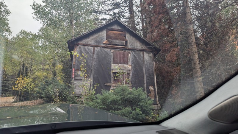
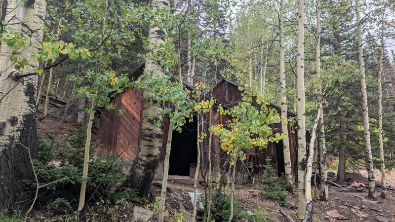
It's a steep climb all the way from the beginning to the top but there is no real obstacles. You will see some cool mines. And the views are awesome. You will see some good views of the Red Mountain p...
Mustafa ParDane
Official Crew
Rated 5/5
Open
Visited: 09/23/2026
We frequent this route probably once a week from GoG to Woodland Park. Be very careful on the blind curves - no shortage of knuckleheads driving way too fast (a biker was struck fatally in June). Us...
TC
Tim Crane
Rated 5/5
Open
Visited: 09/22/2026
Scenic road connecting to other alpine loop trails. it's not very technical or hard. but if you don't prefer shelf roads, maybe that can be considered hard. Red Mountain peaks are awesome. the scenery...

Mustafa ParDane
Official Crew
Rated 5/5
Open
Visited: 09/22/2026
Besides the shelf roads, there is not other bug obstacle or anything technical. As always, it has really good views :)


Mustafa ParDane
Official Crew
Rated 5/5
Open
Visited: 09/22/2026
Views are awesome as always with any alpine loop trails. There is a very short hike at the summit that takes you to even higher point with better views. Lake Como looks very good from there.


Mustafa ParDane
Official Crew
Rated 5/5
Open
Visited: 09/22/2026
Started from Lake City as most people recommend running the alpine loop clockwise. I think that was a wise choice because I didn't have a lot of ongoing traffic. The views are awesome and they start r...


Mustafa ParDane
Official Crew
Rated 5/5
Open
Visited: 09/22/2026
Tough trail, lots of technical spots throughout. Dont attempt solo or with any kind of stock truck!


Greg Dermann
Rated 4/5
Open
Visited: 09/22/2026
Just a dirt road with lots of potholes. Nothing technical. Drove this up to the 401 Trailhead to bike. Pretty busy with folks camping and leaf peeping. Overall it is in a pretty area and theres good c...



Davis McPherson
Rated 4/5
Open
Visited: 09/22/2026
Ok I have not run that trail in the last 4 years. I don't recall it looking like the photos. Did it recently get this way (rock garden) and get the difficult rating?
C
coyoteslocos
No Rating
Temporary Closure
Visited: 09/21/2026
Sign at the bottom of the hill says road construction but when you get to the turn off it is blocked.
PD
Paul Dixon
Rated 5/5
Open
Visited: 09/21/2026
Ran the trail from Westcliff side over the pass and into Great Sand Dunes NP. Had great weather. Don't think it had rained much in the days prior. So, the trail was dry. Think the difficulty ratin...



Stephen
Rated 5/5
Open
Visited: 09/21/2026
Id put it at a 3 some larger rocks mud and shelf roads: beautiful trail. Highly recommend.


Brian mckie
No Rating
Open
Visited: 09/21/2026
There is an area towards the end of this trail not long before it opens into the meadow that is very shaded and has become a mud hole. Well, somebody with a vehicle not capable enough to get through i...

Curt Greeley
Rated 5/5
Open
Visited: 09/20/2026
Ran this trail for the first time on 9/20/26. Absolutely stunning views and the leaves were almost at peak. This might be my new favorite trail to run during this time of year. Not difficult, but long...



Jack Mackie
Rated 4/5
Open
Visited: 09/20/2026
I wanted to run this trail on my way out from the gulches area but when I got down to the first stream crossing it had a few large logs placed in it. Im not sure if this is for traction or what, but I...
Jack Mackie
Rated 5/5
Open
Visited: 09/20/2026
First time out here and I ran this alone on 9/20/26 coming back from Old Stage 220. Took Sportsman Rd to get to 220 so I decided to take this to trail to get back to Cedar Mtn Rd. This is more fun tha...
Jack Mackie
Rated 5/5
Open
Visited: 09/20/2026
This is one of my favorite trails. I like to start at St. Mary's and run it in reverse lf this trail guide. I prefer to take most of the steep sections downhill, but if you want a fun challenge, then ...


Tim
Rated 5/5
Open
Visited: 09/20/2026
Ran this on 9-20-26 up to the Phoenix rocks. WK2 3" lift on 33's. Never been in this area before but I have read many of the reviews on here about the gulch trails. I was alone and the phoenix rocks w...

Jack Mackie
SH
Sharon Hansen
Rated 5/5
Open
Visited: 09/20/2026
Maiden voyage for my stock suspension 1994 Wrangler. The trail was surprisingly rocky in the beginning. Beautiful views and not too much traffic.
SH
Sharon Hansen
Rated 2/5
Partially Open
Visited: 09/20/2026
While there were some aspen views, this is not the best place to find them. Most of the views of the surrounding area are obscured by pine trees that are close to the road. Many of the overlooks are o...
MG
Mike Gerdts
Rated 4/5
Open
Visited: 09/20/2026
We enjoyed the trail. Beautiful scenery. Definately narrow in some areas. The terrain itself wasn't so difficult. Clearence is needed for some of the rocks in the trail.


Lisa Johnson
Rated 4/5
Open
Visited: 09/19/2026
Ran it in a 157"WB F150 on 33's, and would probably run it in a passenger car. Great views, easy climb and the switchbacks were totally navigable in a fullsize. Some of the roads on top are more app...
J
Justin
Rated 5/5
Open
Visited: 09/19/2026
The last descent at the end is kind of muddy so take it extra slow.



Joshua Scurran
Rated 5/5
Open
Visited: 09/19/2026
Ran east to west. The ascent at waypoint 14 has been cleaned up considerably - not sure if this was the work of the recovery crew we passed who were headed up Mt Baldy road, but it was much less rocky...

Jeff Dew
JG
Joseph G Botthof III
No Rating
Temporary Closure
Visited: 09/19/2026
Following up on Ryan's post, multiple incidents have occurred of vehicles sliding off the trail at washouts. CO4x4RNR was up yesterday recovering a vehicle, and we were told the trail will remain clo...

ERIC D BROWN
Rated 5/5
Open
Visited: 09/19/2026
Epic views at the top make this in and out road a must see on my list. Shelf roads with a few areas for passing. Switchbacks and 12"-18" boulders in only a few places to navigate. 4wd and good clearan...



Desi
Rated 5/5
Open
Visited: 09/19/2026
Expect closures Sept 21-24 for pipeline maintenance starting near the trestle. Perhaps related, there’s a rusty 4-6” pipe sticking out of a puddle near the trailhead at the top.
It’s been a bit rai...

MG
Mike Gerdts

Kirk Kneezle
Kirk Kneezle
Kirk Kneezle
WH
William Harkcom
Rated 5/5
Open
Visited: 09/18/2026
Great trail. Lots of fun, great views. Loved all the rock outcroppings.



Jessica H
Rated 5/5
Open
Visited: 09/18/2026
Short but fun. Right mix of technical and scenic. Ran this with Solitude Creek. Great views but that initial climb looked daunting but once you get into it wasn’t that bad.


Jessica H
No Rating
Temporary Closure
Visited: 09/18/2026
Forest Service has closed the trail due to washout damage. No ETA yet on fixes or reopening.


Ryan Boudreau
Official Crew
No Rating
Open
Visited: 09/18/2026
Only drove it to the Chinns Lake cutoff, but that part was in great condition. They've recently laid down new gravel on the lower portion in the neighborhood, it is super smooth.
S
Scott
No Rating
Open
Visited: 09/18/2026
Great condition. Only tough spot is some deep holes just before you get to the lake, otherwise it's easy. The mud holes are deeper than I remember, but it's been raining quite a bit. Lake is very, ...
S
Scott
No Rating
Open
Visited: 09/18/2026
We ran it downhill from the Miner's Gulch area. It's an easy descent thru the forest, a few rocks here and there, nothing major. Nice view of the aspens and rain clouds moving thru the area. Decent...
S
Scott
No Rating
Open
Visited: 09/18/2026
Mostly moderate, but a few spots are pretty rough with unavoidable and awkwardly placed boulders - stock vehicle are likely to hit their rocker panels. Good approach angles and rock sliders are your...
S
Scott
Most Popular
Updated: 08/07/2023
B South Road
Grand Junction, Colorado
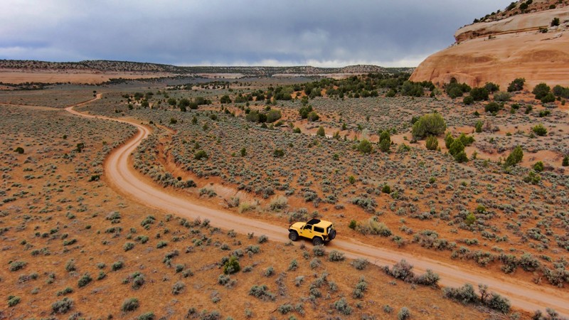
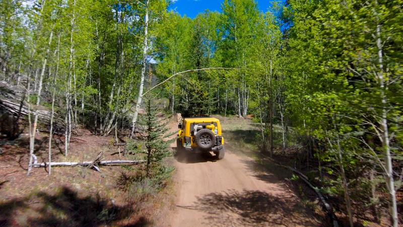
On a remote edge in the arid expanse of the McInnis National Conservation Area, B South Road provides an easy passage through the enchanting desert landscapes. This mild dirt road stands out for the distinctive sandstone canyon walls rising dramatically 400 to 500 feet at certain spots, demonstrating the region's geological might. Enveloped in the refreshing aroma of dense sagebrush, the route unveils captivating views of the nearby mountains and canyons at every turn. B South Road may have a limited number of nearby trails, but it certainly holds its own with its unique scenery and effortless drive.
Updated: 06/15/2024
Schoolmarm Mountain Road
Lake George, Colorado
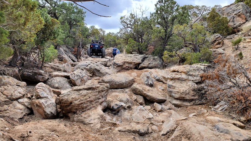
Meandering at the foot of Farnum Peak and its namesake Schoolmarm Mountain, Schoolmarm Mountain Road is a tranquil, undulating offroad experience. Rocky terrains that demand careful navigation are compensated by striking panoramas and abundant camping opportunities with its plentiful minor spur roads. Whether setting up camp for the weekend or seeking a shaded respite on summer trails, Schoolmarm Mountain Road adds a unique and rewarding dimension to any expedition within the Badger Mountain Trail Network.
Updated: 06/05/2022
The Cutoff
Grand Junction, Colorado
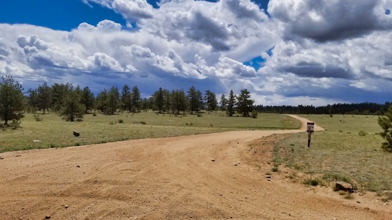
The Cutoff is the newest trail edition to the Bangs Canyon Management Area, located in Grand Junction Colorado. This extreme trail should only be attempted by the most modified of vehicles. At just over 300 yards long, this trail could leave your vehicle in pieces sitting on a trailer on it's way back to town. Colossal boulders will test the limits of your driving ability, and uncover any mechanical weakness your vehicle might have. Do not attempt this trail alone, and be prepared for body damage. The Cutoff trail was opened just a few years ago by the Grand Mesa Jeep Club, in partnership with the BLM.
37"+ Tires, a winch, dual lockers, and rollover protection are highly recommended for this trail.
Updated: 06/02/2024
Beryllium Road
Lake George, Colorado
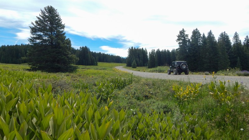
Situated within the Pike National Forest, Beryllium Road is a key connector trail within the Badger Flats Trail Network that offers more than just functionality. This trail is rich in picturesque scenery and provides excellent camping opportunities, particularly towards the western end. Beryllium Road is a bustling thoroughfare for both small and large off-highway vehicles and serves as a gateway to 10 different connecting trails. Despite its utilitarian role, the semi-maintained trail and diverse surroundings make Beryllium Road an engaging and vital part of the offroad journey in this area.

Updated: 09/23/2026
Lands End Road
Palisade, Colorado
Quickly climbing up the rim of Grand Mesa National Forest, Lands End Road is a scenic zigzag up to breathtaking views from the old observatory site. The views on the climb are unobstructed by trees. You can see for miles as you crisscross the hillside. The trail is a well-maintained gravel road with numerous switchback turns that can be completed in 2WD. The washboard corrugation on the climb can be pretty rough. Airing down tire pressure and 4x4 helps reduce the effects. Seeming out of place, there is a long section of pavement after the summit and observatory. The trail returns to gravel as you travel further east.
Camping on the climb is limited to a couple of small single sites. Once up on Grand Mesa, camping can only be found along the side trails, not immediately along this route. The best camping is found deeper into the National Forest, east along Trail 121.
Updated: 08/07/2023
Eagle Rock Road
Lake George, Colorado
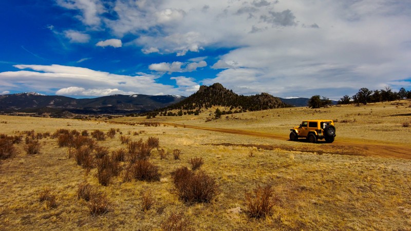
Although sharing its name with a more famous trail near Colorado Springs, Eagle Rock Road, located an hour northwest, promises a gentler offroad experience. With its undulating two-track layout, this serene trail skirts the petite summits of Eagle Rock Mountain and Baker Mountain. The mountains and rocky outcrops punctuate the landscape with captivating vistas for photography enthusiasts. Set off the main trail just north of Puma Road, Eagle Rock Road is perfect for an easygoing afternoon drive, sparing your vehicle's suspension and back. Linking with the myriad trails in this region, it invites a full day of exploration through these historical mining routes.
Updated: 07/02/2026
Meadow Divide
Fairview, Colorado
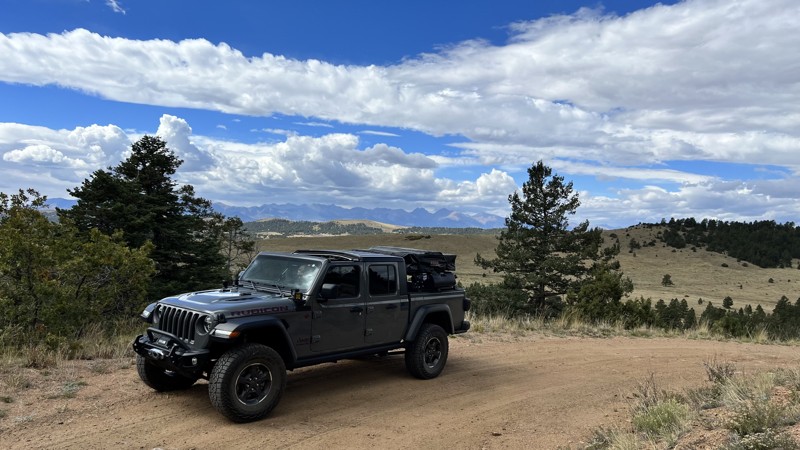
Meadow Divide meanders through the foothills of the San Isabel National Forest. When starting from the west, you’re greeted with expansive views of the Sangre de Cristo Mountains to the west. The trail dips in and out of Aspen groves and open meadows. The majority of the track is a rough dirt road with a few rocky sections that could be troublesome for 2WD or low-clearance vehicles, depending on the weather. When traveling eastbound, a spur road at about the 2.6-mile mark has an established fire ring with a campsite large enough for multiple rigs. MVUM states the trail is open from 05/01 - 12/01.
Updated: 12/30/2025
Die Tryin'
Montrose, Colorado
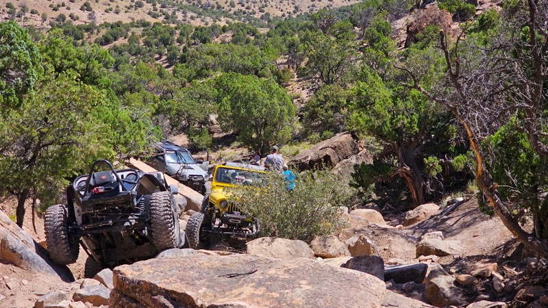
Die Tryin' is a notorious rock crawling trail in Montrose, Colorado that consists of constant technical rock crawling through large boulder fields and severe obstacles. It's rated a 9 out of 10 for the area trail system.
Updated: 07/17/2026
Alpine Plateau
Sapinero, Colorado
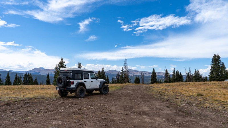
Alpine Plateau connects US50 on the north to Alpine on the south. Traveling from north to south starts through a beautiful residential area with open fields and hardwoods spaced well from the road. It then passes the Arrowhead Lodge, which offers full-service lodging and dining. As you gain elevation, the road becomes less residential and more wooded as you enter public land and the Darrell Duncan Memorial Forest. As you enter this section, look closely for a sign that reads: "Planted in May 1969. This Lodgepole Pine forest is in memory of a Montrose Colorado Boy Scout killed on an outing near Grand Junction. Boy Scout Troop No. 472 and The United Methodist Fellowship planted 12,000 seedlings purchased with memorial funds."
Once the road levels near the plateau, majestic views of the San Juans and Uncomppahgre Peak are in view. Numerous dispersed camping opportunities and a few side roads are also available.
As you begin to descend, the forest becomes sparse due to disease, fire, or wind, offering continued views of the famous San Juans. It finally meets Alpine, where you can turn west to a beautiful valley or return east towards the pavement.
The southern 7 miles of this road are closed during the spring months.
Updated: 08/19/2023
Pawnee Grasslands-Wild Horse Creek
Briggsdale, Colorado
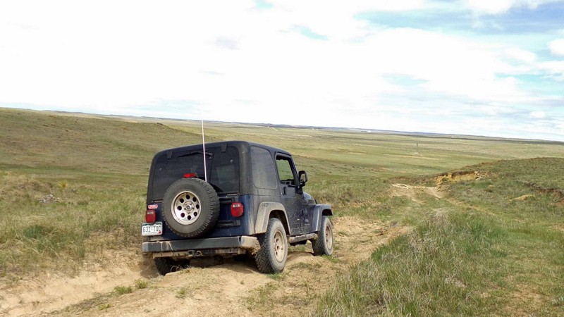
Sprawling across the plains northeast of Greeley, Colorado, the Pawnee Grasslands are crisscrossed by a network of gravel county roads and 2-track dirt Forest Service Roads. These easy roads offer an alternative to the usual mountain ‘wheeling of the Colorado Rockies, especially from late fall to early spring when many of the mountain trails are snowed in. This track across the Grasslands does not actually follow Wild Horse Creek but crosses its drainage at a wide valley with beautiful views. This trail also features one minor “obstacle” as the descent into the valley has a steeper hill that sometimes gets wash out.
Updated: 06/19/2024
Roaring Creek Road
Red Feather Lakes, Colorado
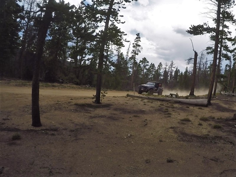
Beautiful forests and the rushing sounds of the Roaring Creek make this a destination to call home-base for a weekend of camping and off-road adventure. Warm days and cool nights are summer time norms and, at around 10,000 feet in elevation, Roaring Creek Road can experience some unpredictable weather with the probability of afternoon thundershowers. The availability of dispersed camping for large trailers or large groups makes this area attractive for many outdoor adventurers.
Updated: 06/01/2024
Figure 9 Road
Lake George, Colorado
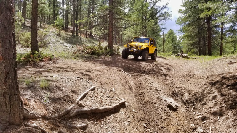
Figure 9 Road is a moderate offroad trail nestled amidst verdant forests and open grasslands within the vast Badger Flats Trail Network. This trail balances fun and challenge, allowing 4x4 enthusiasts to test their skills without the high technical demands of nearby trails like the China Wall. It's an ideal choice for a leisurely day off-roading, blending the thrill of the drive with the landscape's natural beauty, making Figure 9 Road a worthy start to any outing in the area.
Updated: 08/13/2023
East Upham Spur
Nederland, Colorado
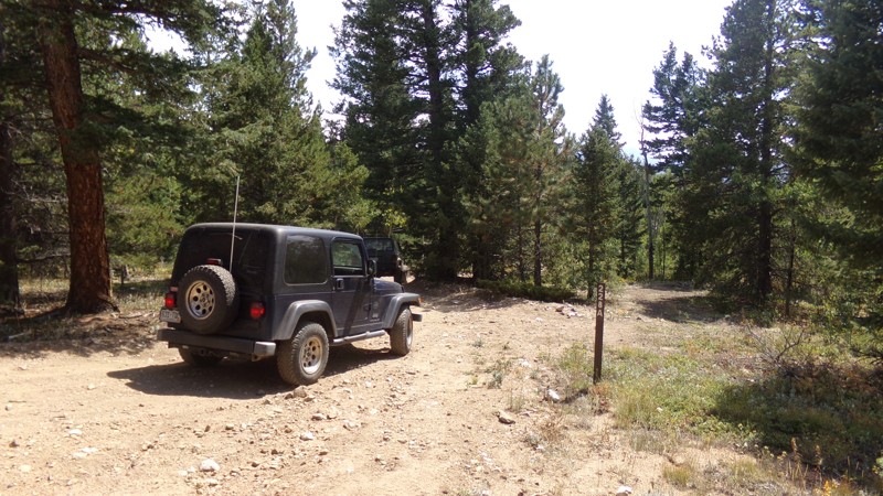
East Upham Spur is a slightly harder option for completing East Upham Loop. It connects to East Upham Loop about halfway around the loop and then parallels the second half, rejoining the loop just before its return to Gordon Gulch. There is an odd piece of old mining equipment at the northern intersection of Forest Service Road 228C and Forest Service Road 228A at the end of the trail.
Updated: 06/01/2024
Burro Mountain
Mancos, Colorado
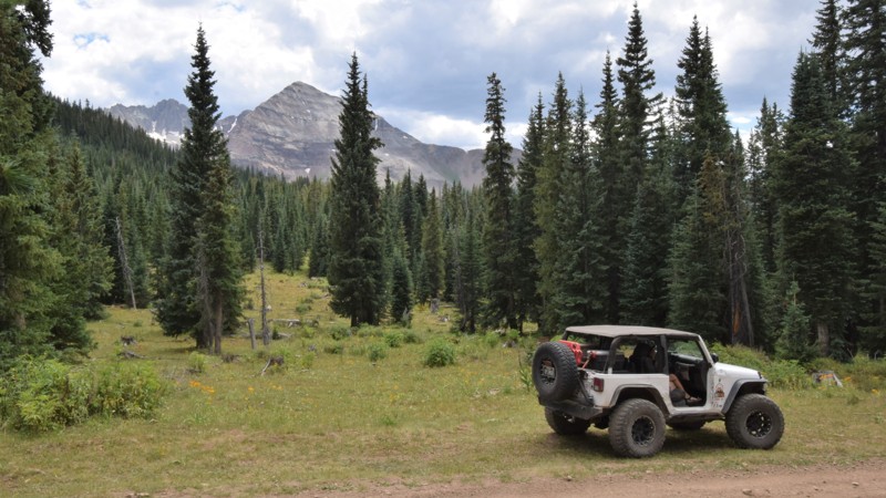
Burro Mountain trail is an excellent way of creating a memorable loop with West Mancos Road. The trail offers easy access to the picturesque Sharkstooth Peak region. The gravel trail connects with other area trails for a more challenging 4x4 experience. The route has some of the best variety of camping in the region, some located right along the trail. Making it worth spending a couple of extra nights to explore more of what beautiful southwest Colorado has to offer.
The 1.8 million acre San Juan National Forest located in southwest Colorado has thousands of miles of back-roads and hundreds of 4x4 trails to explore. The region's diverse terrain offers outdoor enthusiasts a wide variety of opportunities to experience nature without the large crowds found to the north. There are also plenty of great established campsites located along all the main routes.
The Mancos, CO area has the "Alpine Loop" ATV trail system, an extensive network of interconnecting trails that crisscross the mountains above town. Theses trails are connected with full-size 4x4 trails that travel from various lakes and mountain summits all within minutes of town.
Updated: 07/02/2026
Black Mountain Road
Gardner, Colorado
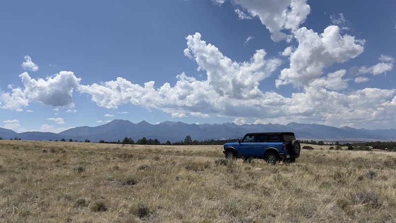
Black Mountain Road takes you west from Gardner Road and weaves you through the piñon pines of the San Isabel National Forest. The trail is fairly easy and unassuming during drier weather, but based on the deep dried-up ruts, this trail could get pretty muddy after heavy rain. Although the majority of the trail is well maintained, do not let your guard down, there are about a dozen blind curves to navigate with no way to tell if there is oncoming traffic until they are right in front of you. When you exit the gate from the national forest land, the trail becomes more rugged. As you climb, you navigate large beach ball size boulders embedded in the ground. A stock high clearance 4x4 will not have any issues. Something shorter, like a Subaru, may struggle or scrape.
Once you get to the top of the ridge line of Black Mountain, the views are incredible in almost every direction. Camping is limited on the trail, with only one campsite large enough for one to two vehicles if parked in tandem.
Updated: 06/05/2022
Medicine Bow Road
Cowdrey, Colorado
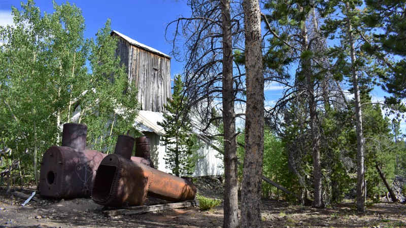
Medicine Bow Road is the only forest road that travels through 2 different States, 3 different counties, 3 different National Forests, and both sides of the US Continental Divide. This gradual route along the Divide passes by the old Village Belle Mine and a dilapidated log homestead. A history of railroad tie hacking and mining are found in this forest. It is common for you to be the only person on this trail as you explore this area.
Updated: 12/01/2023
Farwell Lake
Steamboat Springs, Colorado
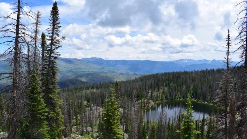
Farwell Lake is a must-do side trail off the Farwell Mountain trail. It takes you around the peak of Mount Farwell and ends above the beautiful Farwell Lake. From here you can hike down to the pristine waters of the lake where native trout are abundant and the scenery is breathtaking. The trail hosts a few challenges of its own, plus the remote location, which safeguards this area from the touch of mankind. If traveling here, please show respect to the forest, stay the trail, and help keep this area beautiful for generations to come.
Updated: 09/23/2026
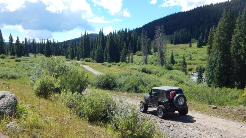
Park Creek 262
Collbran, Colorado
Beginning at the scenic Vega State Park near the small town of Collbran, Park Creek is the northern portion of a beautiful, challenging route across a remote portion of the Grand Mesa National Forest. Combining this trail with Leon Lake, 127, makes for a challenging all-day 4x4 adventure. Traveling south from the state park, the trail is easy for the first 1.2 miles. After that, the trail is muddy year-round. Numerous creeks and natural springs bubble out of the ground and flow into Park Creek, which runs parallel to the trail. All this runoff creates a challenging and slippery journey across the meadows, requiring aggressive mud terrain tires, high ground clearance, and self-recovery equipment (a winch).
The endless water crossings, creeks, and remote lakes are a true highlight of this region of Colorado. Camping is limited to only a few spots. Early in the route, a massive open area exists for a sizeable overland group. A small campsite sits at the junction with Monument Creek, and another beautiful site at the junction with Leon Lake, 127.
Updated: 07/27/2026
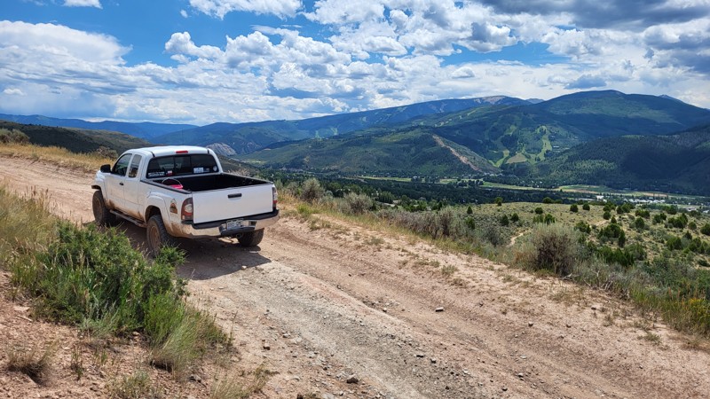
Berry Creek
Edwards, Colorado
Berry Creek traverses a couple of ridge lines north of Edwards, Colorado, connecting Power Road to June Creek. At one time, it accessed the Dead Buck Reservoir, which no longer exists. The west end of Berry Creek begins as a dirt road and quickly switches to two-track. There are no obstacles, and the trail can be driven in 2-wheel-drive. There are very few trees, so the views of the Beaver Creek ski resort to the south are pretty epic.
Updated: 07/16/2026
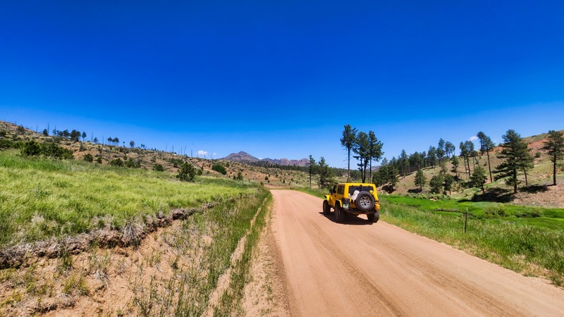
Westcreek Road
Westcreek, Colorado
Westcreek Road in Colorado is a scenic route that winds through picturesque meadows and runs alongside the serene West Creek. It connects Painted Rocks Road to Rule Ridge Road and What Road trails. Although camping is not permitted on the county road, nearby trails offer ample opportunities for camping.
Updated: 05/18/2024
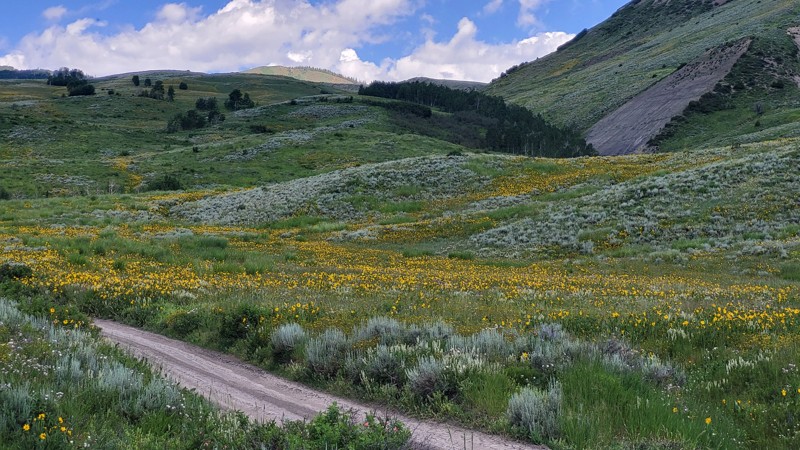
Horse Mountain Road
Wolcott, Colorado
Horse Mountain Road travels through the Hell's Pocket BLM range to the Castle Peak Wilderness. Along the way, it offers excellent views of the mountains to the southeast, a dazzling wild-flower meadow, a few large campsites, and finally accesses Blue Lake and Welsh Reservoir 4WD trails.
Updated: 08/31/2026
Mark Road
Westcreek, Colorado
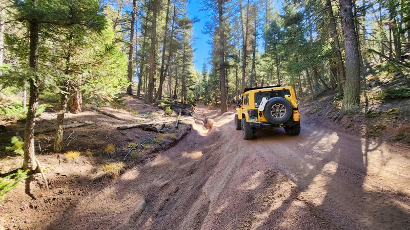
This short trail connects Fern Creek and Missouri Gulch. It's a rutted drive-through forest with some deep cuts into the roadway that don't present much of a challenge but can make this trail narrow in spots. Dispersed camping is allowed in this area, but no established sites were seen along the way, and it may be too narrow to be a good area to camp.
Updated: 07/27/2026
June Creek
Avon, Colorado
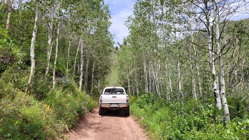
June Creek climbs up from the town of Edwards, Colorado, to Waypoint 8 of Red & White Mountain. It is an easy dirt trail that passes through aspen and pine groves as it climbs. The trail gets a little rocky in places with a couple of tight switchbacks but no real obstacles.
Updated: 06/01/2024
East Fork Cimarron River
Ridgway, Colorado
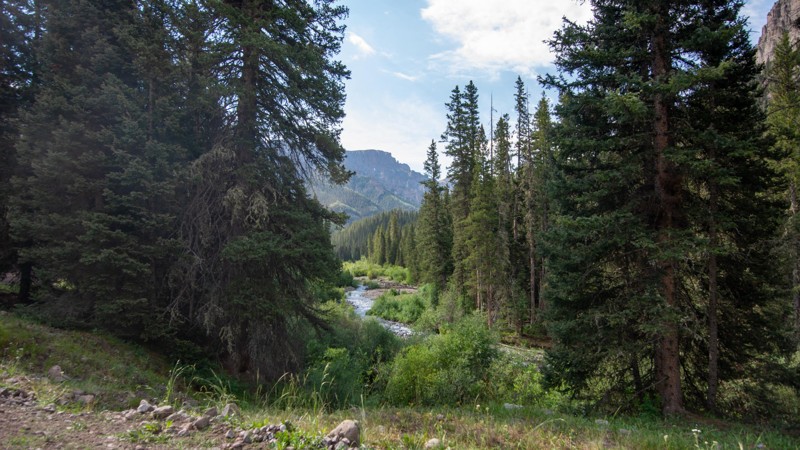
The East Fork Road offers some of the most astounding views of the sawtooth Uncompaghre Mountains you will find. The area is chock full of dispersed camping spots along the East Fork of the Cimarron River.
This is an easy day trip, full of amazing photo stops, and in the summer, loaded with wildflowers to enhance the beauty of the landscape.
Though not a frame bending experience, it certainly will elevate your sense of calm once you reach the end and arrive at the wilderness boundary, a fine place for a picnic lunch next to the gurgling river.

Upgrade your Membership
Unlock all of the details on every Trail Guide and Scout Route.
Start a 7-day Free TrialBrowse Trails in Colorado by City
Browse every Colorado city with offroad trail guides.
Community
Partners

