













By clicking "ACCEPT", you agree to be the terms and conditions of each policy linked to above. You also agree to the storing of cookies on your device to facilitate the operation and functionality of our site, enhance and customize your user experience, and to analyze how our site is used.
Colorado Off-Road Trails
602
Total Trail Guides 575

6450
Detailed Waypoints 568
Try a Free 7-Day Trial and unlock it all
Start a Free Trial Most Recent Trail Reviews
Rated 5/5
Open
Visited: 09/23/2026
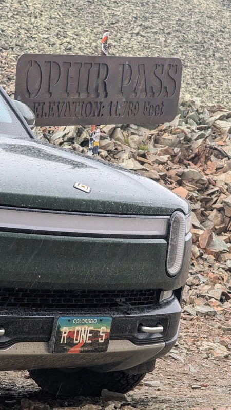
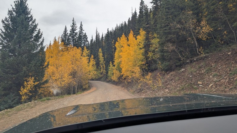
nice trail with good views. a classic in the San Juans... it's not quite as easy as 2 but not a true 3 either. Totally doable with a stock 4WD.


Mustafa ParDane
Official Crew
Rated 5/5
Open
Visited: 09/23/2026
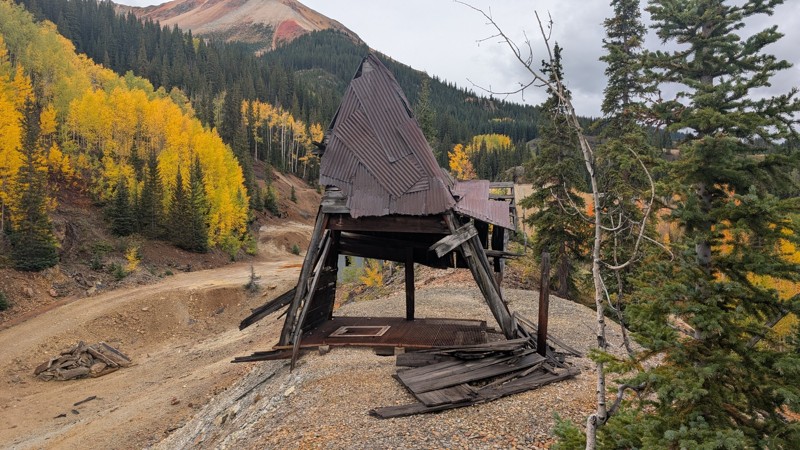
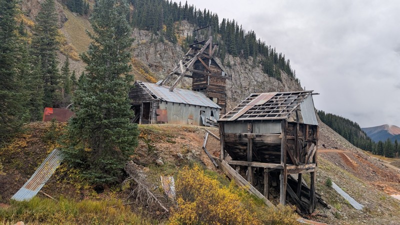
Nice fun easy trail! You will see lots of mines. I mean lots of them. If you are into it, this is the trail for you :)
Mustafa ParDane
Official Crew
Rated 5/5
Open
Visited: 09/23/2026
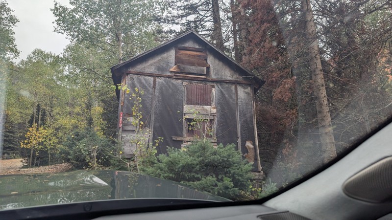
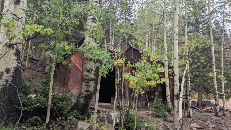
It's a steep climb all the way from the beginning to the top but there is no real obstacles. You will see some cool mines. And the views are awesome. You will see some good views of the Red Mountain p...
Mustafa ParDane
Official Crew
Rated 5/5
Open
Visited: 09/23/2026
We frequent this route probably once a week from GoG to Woodland Park. Be very careful on the blind curves - no shortage of knuckleheads driving way too fast (a biker was struck fatally in June). Us...
TC
Tim Crane
Rated 5/5
Open
Visited: 09/22/2026
Scenic road connecting to other alpine loop trails. it's not very technical or hard. but if you don't prefer shelf roads, maybe that can be considered hard. Red Mountain peaks are awesome. the scenery...

Mustafa ParDane
Official Crew
Rated 5/5
Open
Visited: 09/22/2026
Besides the shelf roads, there is not other bug obstacle or anything technical. As always, it has really good views :)


Mustafa ParDane
Official Crew
Rated 5/5
Open
Visited: 09/22/2026
Views are awesome as always with any alpine loop trails. There is a very short hike at the summit that takes you to even higher point with better views. Lake Como looks very good from there.


Mustafa ParDane
Official Crew
Rated 5/5
Open
Visited: 09/22/2026
Started from Lake City as most people recommend running the alpine loop clockwise. I think that was a wise choice because I didn't have a lot of ongoing traffic. The views are awesome and they start r...


Mustafa ParDane
Official Crew
Rated 5/5
Open
Visited: 09/22/2026
Tough trail, lots of technical spots throughout. Dont attempt solo or with any kind of stock truck!


Greg Dermann
Rated 4/5
Open
Visited: 09/22/2026
Just a dirt road with lots of potholes. Nothing technical. Drove this up to the 401 Trailhead to bike. Pretty busy with folks camping and leaf peeping. Overall it is in a pretty area and theres good c...



Davis McPherson
Rated 4/5
Open
Visited: 09/22/2026
Ok I have not run that trail in the last 4 years. I don't recall it looking like the photos. Did it recently get this way (rock garden) and get the difficult rating?
C
coyoteslocos
No Rating
Temporary Closure
Visited: 09/21/2026
Sign at the bottom of the hill says road construction but when you get to the turn off it is blocked.
PD
Paul Dixon
Rated 5/5
Open
Visited: 09/21/2026
Ran the trail from Westcliff side over the pass and into Great Sand Dunes NP. Had great weather. Don't think it had rained much in the days prior. So, the trail was dry. Think the difficulty ratin...



Stephen
Rated 5/5
Open
Visited: 09/21/2026
Id put it at a 3 some larger rocks mud and shelf roads: beautiful trail. Highly recommend.


Brian mckie
No Rating
Open
Visited: 09/21/2026
There is an area towards the end of this trail not long before it opens into the meadow that is very shaded and has become a mud hole. Well, somebody with a vehicle not capable enough to get through i...

Curt Greeley
Rated 5/5
Open
Visited: 09/20/2026
Ran this trail for the first time on 9/20/26. Absolutely stunning views and the leaves were almost at peak. This might be my new favorite trail to run during this time of year. Not difficult, but long...



Jack Mackie
Rated 4/5
Open
Visited: 09/20/2026
I wanted to run this trail on my way out from the gulches area but when I got down to the first stream crossing it had a few large logs placed in it. Im not sure if this is for traction or what, but I...
Jack Mackie
Rated 5/5
Open
Visited: 09/20/2026
First time out here and I ran this alone on 9/20/26 coming back from Old Stage 220. Took Sportsman Rd to get to 220 so I decided to take this to trail to get back to Cedar Mtn Rd. This is more fun tha...
Jack Mackie
Rated 5/5
Open
Visited: 09/20/2026
This is one of my favorite trails. I like to start at St. Mary's and run it in reverse lf this trail guide. I prefer to take most of the steep sections downhill, but if you want a fun challenge, then ...


Tim
Rated 5/5
Open
Visited: 09/20/2026
Ran this on 9-20-26 up to the Phoenix rocks. WK2 3" lift on 33's. Never been in this area before but I have read many of the reviews on here about the gulch trails. I was alone and the phoenix rocks w...

Jack Mackie
SH
Sharon Hansen
Rated 5/5
Open
Visited: 09/20/2026
Maiden voyage for my stock suspension 1994 Wrangler. The trail was surprisingly rocky in the beginning. Beautiful views and not too much traffic.
SH
Sharon Hansen
Rated 2/5
Partially Open
Visited: 09/20/2026
While there were some aspen views, this is not the best place to find them. Most of the views of the surrounding area are obscured by pine trees that are close to the road. Many of the overlooks are o...
MG
Mike Gerdts
Rated 4/5
Open
Visited: 09/20/2026
We enjoyed the trail. Beautiful scenery. Definately narrow in some areas. The terrain itself wasn't so difficult. Clearence is needed for some of the rocks in the trail.


Lisa Johnson
Rated 4/5
Open
Visited: 09/19/2026
Ran it in a 157"WB F150 on 33's, and would probably run it in a passenger car. Great views, easy climb and the switchbacks were totally navigable in a fullsize. Some of the roads on top are more app...
J
Justin
Rated 5/5
Open
Visited: 09/19/2026
The last descent at the end is kind of muddy so take it extra slow.



Joshua Scurran
Rated 5/5
Open
Visited: 09/19/2026
Ran east to west. The ascent at waypoint 14 has been cleaned up considerably - not sure if this was the work of the recovery crew we passed who were headed up Mt Baldy road, but it was much less rocky...

Jeff Dew
JG
Joseph G Botthof III
No Rating
Temporary Closure
Visited: 09/19/2026
Following up on Ryan's post, multiple incidents have occurred of vehicles sliding off the trail at washouts. CO4x4RNR was up yesterday recovering a vehicle, and we were told the trail will remain clo...

ERIC D BROWN
Rated 5/5
Open
Visited: 09/19/2026
Epic views at the top make this in and out road a must see on my list. Shelf roads with a few areas for passing. Switchbacks and 12"-18" boulders in only a few places to navigate. 4wd and good clearan...



Desi
Rated 5/5
Open
Visited: 09/19/2026
Expect closures Sept 21-24 for pipeline maintenance starting near the trestle. Perhaps related, there’s a rusty 4-6” pipe sticking out of a puddle near the trailhead at the top.
It’s been a bit rai...

MG
Mike Gerdts

Kirk Kneezle
Kirk Kneezle
Kirk Kneezle
WH
William Harkcom
Rated 5/5
Open
Visited: 09/18/2026
Great trail. Lots of fun, great views. Loved all the rock outcroppings.



Jessica H
Rated 5/5
Open
Visited: 09/18/2026
Short but fun. Right mix of technical and scenic. Ran this with Solitude Creek. Great views but that initial climb looked daunting but once you get into it wasn’t that bad.


Jessica H
No Rating
Temporary Closure
Visited: 09/18/2026
Forest Service has closed the trail due to washout damage. No ETA yet on fixes or reopening.


Ryan Boudreau
Official Crew
No Rating
Open
Visited: 09/18/2026
Only drove it to the Chinns Lake cutoff, but that part was in great condition. They've recently laid down new gravel on the lower portion in the neighborhood, it is super smooth.
S
Scott
No Rating
Open
Visited: 09/18/2026
Great condition. Only tough spot is some deep holes just before you get to the lake, otherwise it's easy. The mud holes are deeper than I remember, but it's been raining quite a bit. Lake is very, ...
S
Scott
No Rating
Open
Visited: 09/18/2026
We ran it downhill from the Miner's Gulch area. It's an easy descent thru the forest, a few rocks here and there, nothing major. Nice view of the aspens and rain clouds moving thru the area. Decent...
S
Scott
No Rating
Open
Visited: 09/18/2026
Mostly moderate, but a few spots are pretty rough with unavoidable and awkwardly placed boulders - stock vehicle are likely to hit their rocker panels. Good approach angles and rock sliders are your...
S
Scott
Rated 5/5
Open
Visited: 09/18/2026
Trail is in great condition, views from the top are magnificent.
S
Scott
Rated 4/5
Open
Visited: 09/18/2026
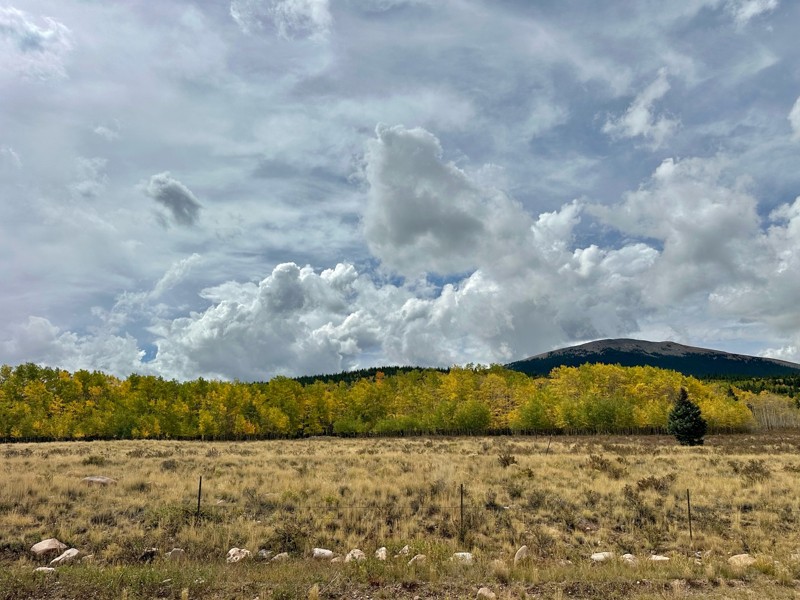
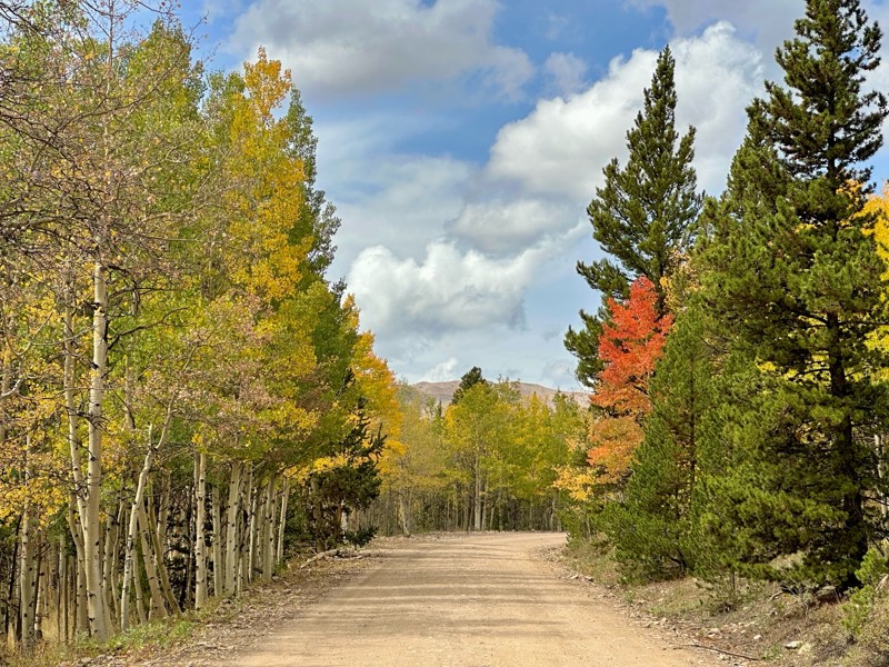
Went up for the aspens and I’d guess, for the most part, they’re maybe a few days past peak. Ran it in “reverse” starting from the east trailhead and there was still plenty of good color to see. Close...

Scott Bram
Rated 5/5
Open
Visited: 09/18/2026
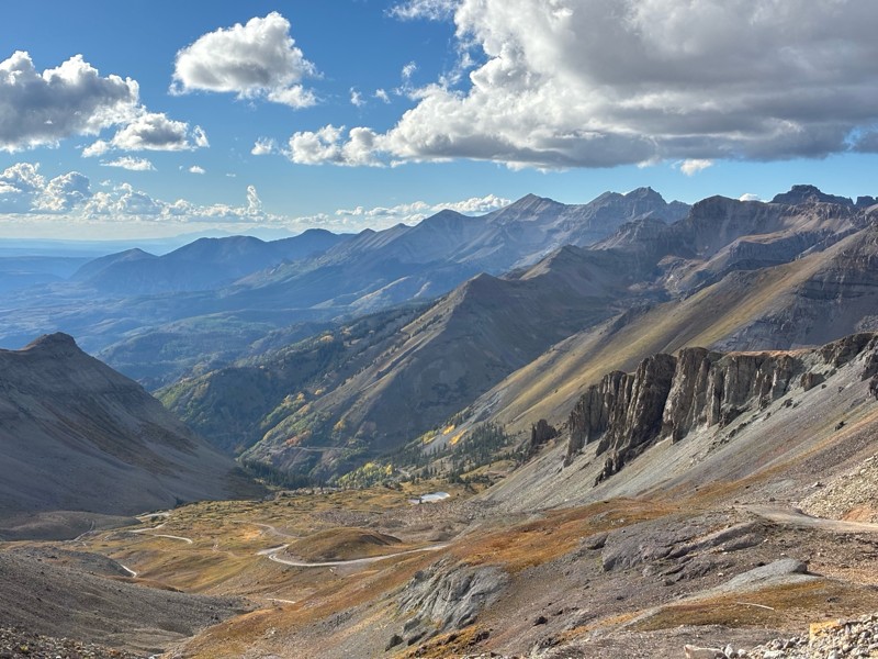
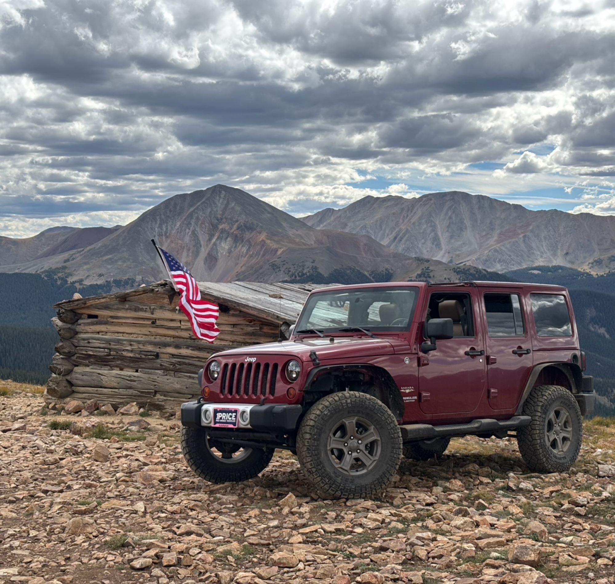
Ran the trail starting in Telluride on Friday the 18th. The trail is open the whole way through to Ouray. Very little dust thanks to all of the rain lately made our first time on Imogene very pleasant...
Matthew Stef
Rated 5/5
Open
Visited: 09/18/2026
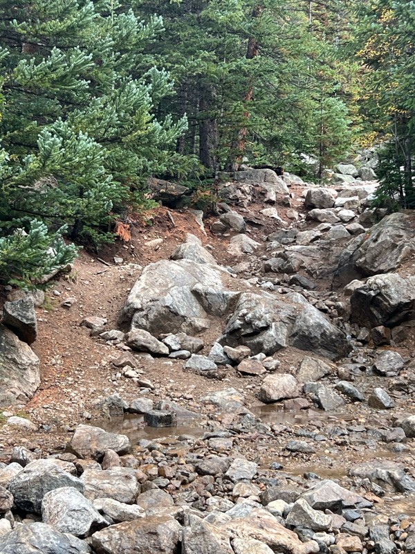
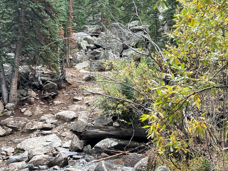
Fantastic views. Great time of the year to go - less likely to need to pass other vehicles on some steep ascents. The “gatekeeper” obstacle and narrow (no room to pass) sections are the major conside...
TK
Tarik Khatib
Rated 5/5
Open
Visited: 09/18/2026
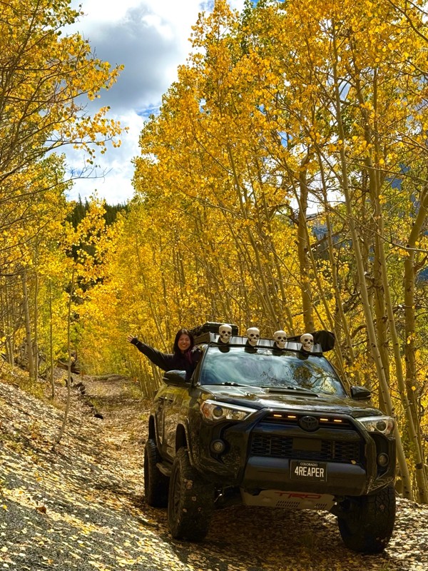
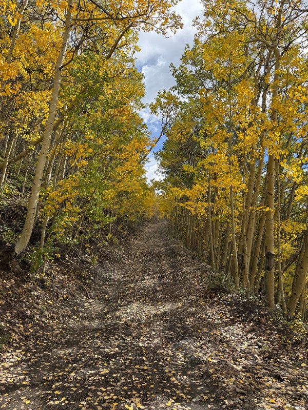
We honestly didn’t mean to take this road but ended up on this road on accident looking for a way to get from Georgia pass to Breck. The colors were amazing!! We came east to west so we were heading d...
V
Vince
Rated 5/5
Open
Visited: 09/18/2026
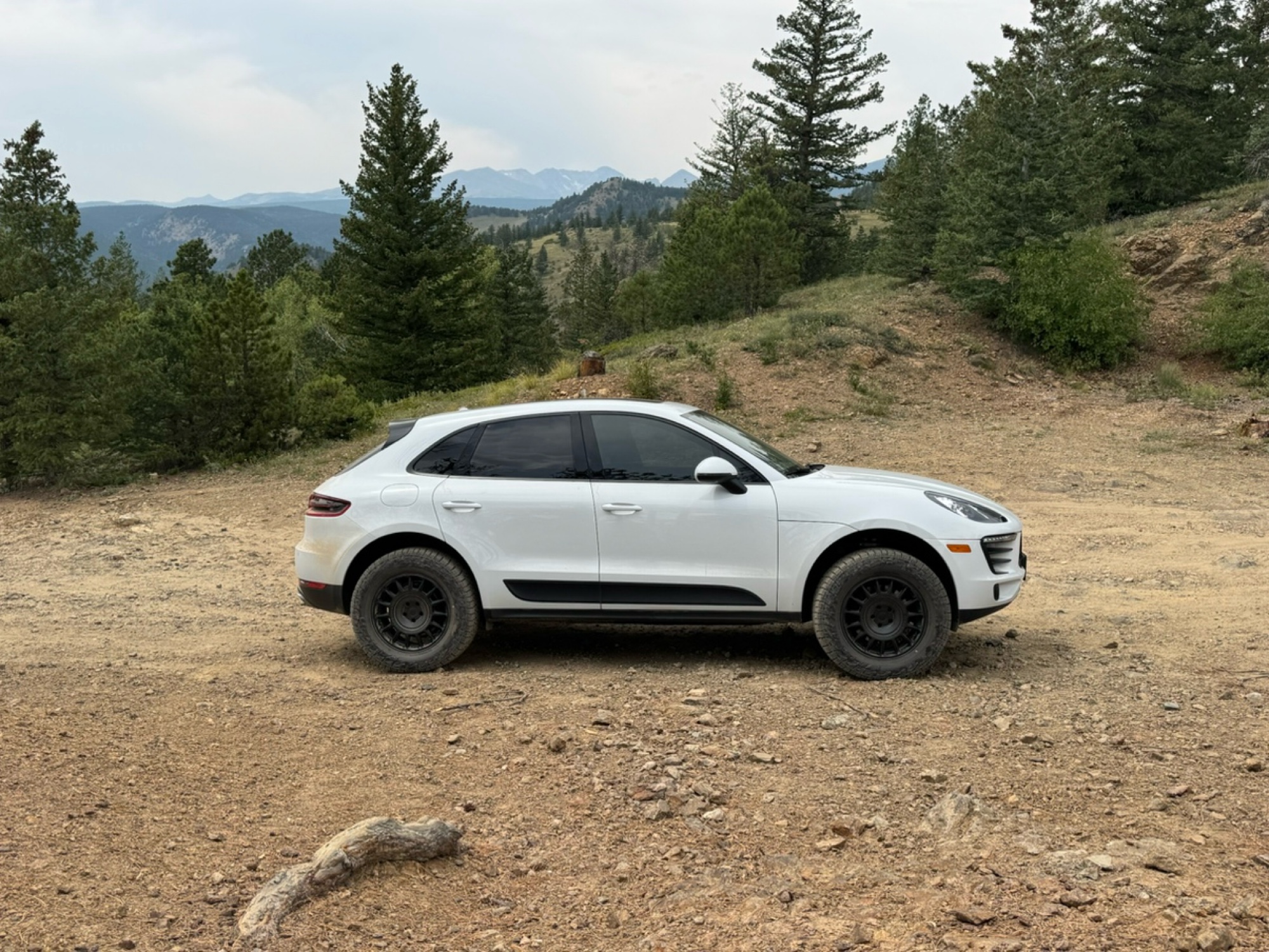
Beautiful trail. Fun whoops and a pretty rocky section. Would definitely recommend not taking the family sedan.
Wade Williams
Most Popular
Updated: 04/16/2024
Middle Middle Rock Crawling Trail
Gypsum, Colorado
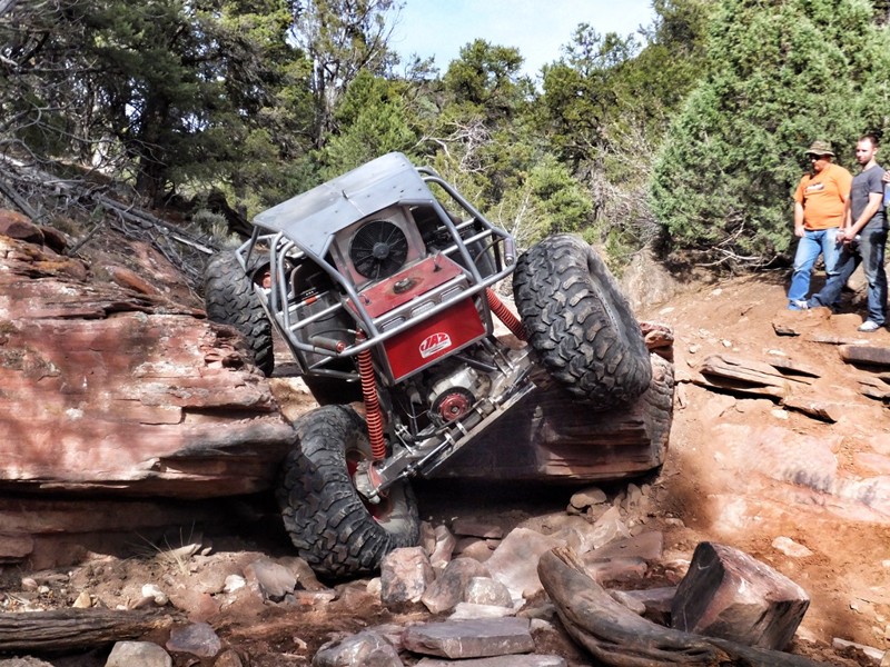
A true hidden gem in the Gypsum Hills area, Middle Middle is an exciting new rock crawling trail that will push your modified rig to its limits. Although not newly created, the trail was officially recognized by the BLM as a legal route in 2016. This trail is unique to the Colorado portfolio of trails as it provides a number of different obstacles like large boulders, undercut ledges, and waterfall climbs all within a short mile. Located just east of Colorado's youngest volcano, The Dotsero Volcano, you are bound to come across large chunks of volcanic rock. This difficult, high clearance trail changes often with help from severe weather that constantly fills in or washes out ruts and moves boulders at will throughout the canyon. Flash flooding is a real concern on this trail, so be aware of the weather conditions.
37" Tires, a winch, and dual lockers are highly recommended for this trail
Updated: 06/06/2024
Kennebec Pass
Mancos, Colorado
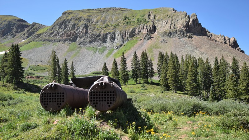
Kennebec Pass, located within the San Juan National Forest, is an excellent way to experience back-country four wheeling without an all-day commitment. The trail travels up a picturesque mountain pass to almost 12,000 feet for incredible panoramas of the surrounding mountains. The trail doesn't have any major challenges for stock 4x4's but it does have a narrow ledge that will keep you on your toes until the end.
The 1.8 million acre San Juan National Forest located in southwest Colorado has thousands of miles of back-roads and hundreds of 4x4 trails to explore. The region's diverse terrain offers outdoor enthusiasts a wide variety of opportunities to experience nature without the large crowds found to the north. There are also plenty of great established campsites located along all the main routes.

Updated: 06/11/2026
Trail Creek Road
Westcreek, Colorado
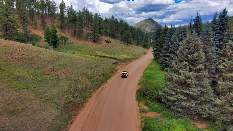
Trail Creek Road is a County Road that cuts through the Pike National Forest near Westcreek and Divide, Colorado. This scenic trail weaves through the forest and some of the Hayman Burn, providing beautiful views in all directions. Use this to make a large loop of Cedar Mountain Road or Rule Ridge.
Updated: 09/09/2026
Rocky Brook Road
Abbeyville, Colorado
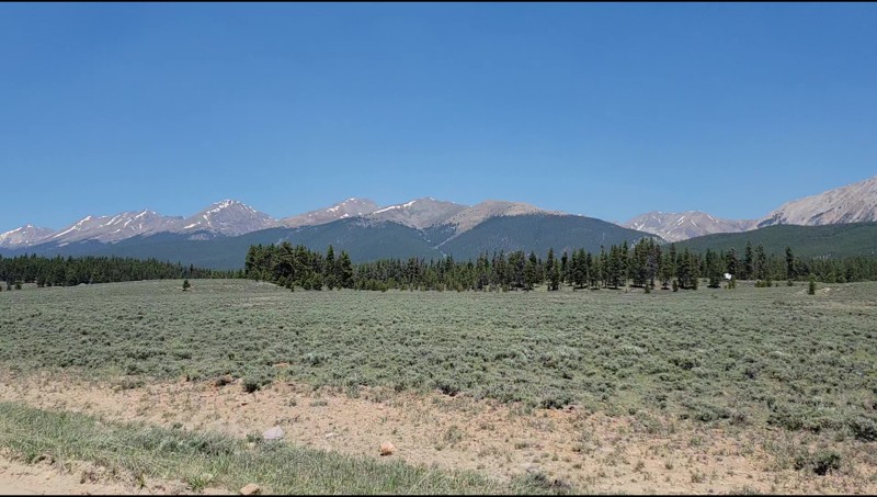
Rocky Brook Road takes you from the Spring Creek Reservoir east towards the paved Cottonwood Pass or the more difficult Tin Cup Pass. This beautiful trail gives you great views of 13,000 feet mountain peaks along the Continental Divide. There are several dispersed campsites along this trail.
Updated: 09/14/2026
Triangle Road
Westwater, Colorado
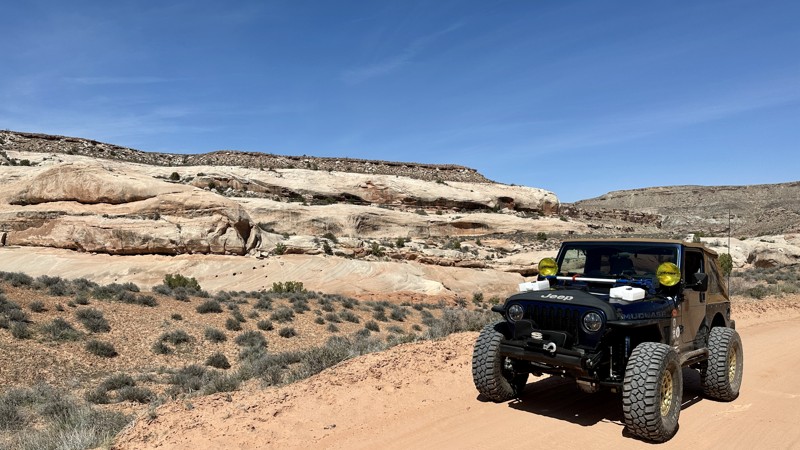
Triangle Road is an interesting and scenic part of the overland route from Grand Junction to Moab. The easy 24-mile track has relatively simple dirt roads with small rock shelf sections. The trail's most exciting part is the Delores River crossing. Normally two to three feet deep, the Delores can rise to five feet or more during the Spring runoff. Just be sure to scout the crossing. Swinging in an arc seemed to be an easier crossing than straight through. When scouting the crosses, look for the sand bars, as the water will be shallowest there. While the rest of the trail can be done easily by a 2WD vehicle, the river crossing is a significant challenge and requires a high clearance vehicle. Once past the river, the trail ends at an intersection with Entrada Bluffs Road, which can be taken west to Highway 128 and Dewey Bridge.
The trail offers plenty of camping for overland vehicles and tent campers if you choose to go light. There are several designated campsites between Entrada Bluffs and the river crossing.
Updated: 06/23/2025
Trough Road
Bond, Colorado
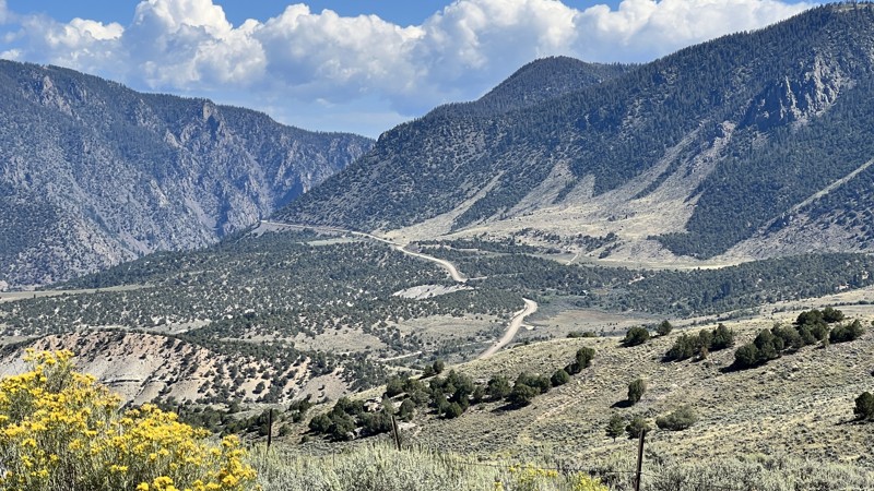
Trough Road is a wide, graded gravel route that stretches west from the small town of Kremmling, Colorado, and traces the Upper Colorado River through some of the state’s most scenic canyon country. Running for roughly 25 miles between Kremmling and State Highway 131, this straight-through route is both a practical backroad bypass and a popular gateway to rafting put-ins, camping pull-offs, and remote trailheads in the Upper Colorado River Recreation Area.
The terrain is primarily hard-packed dirt and gravel, with occasional washboarding, light ruts, and mild elevation changes as the road climbs and dips along the ridgeline. While it's generally passable in dry conditions by most passenger vehicles, it's recommended to use a vehicle with moderate ground clearance, especially during or after storms. Drivers will find themselves rewarded with expansive views of the Gore Range, deep river canyons, and scattered pine and sage landscapes that typify the high Colorado plateau.
Several designated access areas managed by the BLM, such as Radium, State Bridge, and Pumphouse Recreation Site, offer developed campgrounds with tables and fire pits, vault toilets, and river facilities. They charge a daily fee. The best dispersed camping can be found just north of Pumphouse, right before climbing out of the river valley. Here you will find several spur roads leading to a campsite tucked between the sagebrush.
Updated: 05/20/2026
New Castle Buford Road
Buford, Colorado
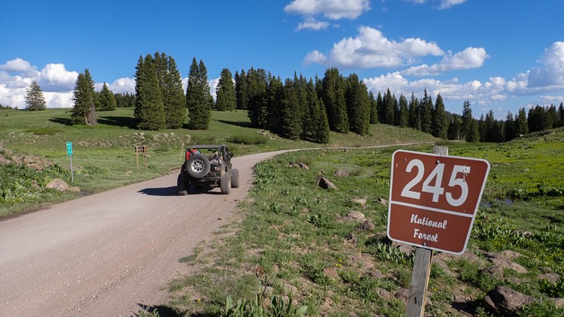
Bridging the gap between New Castle and the tiny community of Buford, Forest Road 245 travels over 32 miles through the White Mountain National Forest. The trail has abundant free primitive camping along the countless spur trails leading into the trees. Wildlife is abundant in the area. Elk, moose, deer, bear, and mountain lions are common sites on the trail. The trail is a maintained county road with long climbs, washboards, and ruts from water drainage. The entire route can be completed in high clearance 2WD in dry conditions. ATVs are not allowed but be aware of other traffic on the road including large trucks towing campers. This is a busy and fast road.
Updated: 06/19/2024
Mendenhall
Walden, Colorado
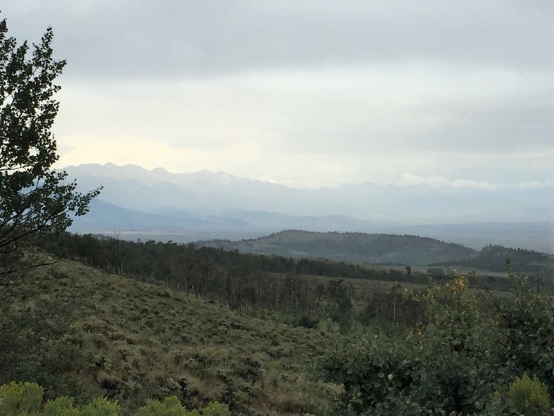
Mendenhall is a mountain forest trail that drops from the Medicine Bow Mountains down into the North Park Valley just north of Walden, CO. The trail offers off-roaders a variety of experiences including a rocky road, dense forest, and great views of the Zerkel Wilderness area to the west. This trail is a nice scenic drive for experienced off-roaders while it can be challenging for novice wheelers. This trail is also near the popular North Sand Hills Recreation area.
Updated: 10/29/2023
Sunshine Mesa
Telluride, Colorado
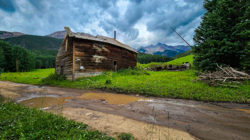
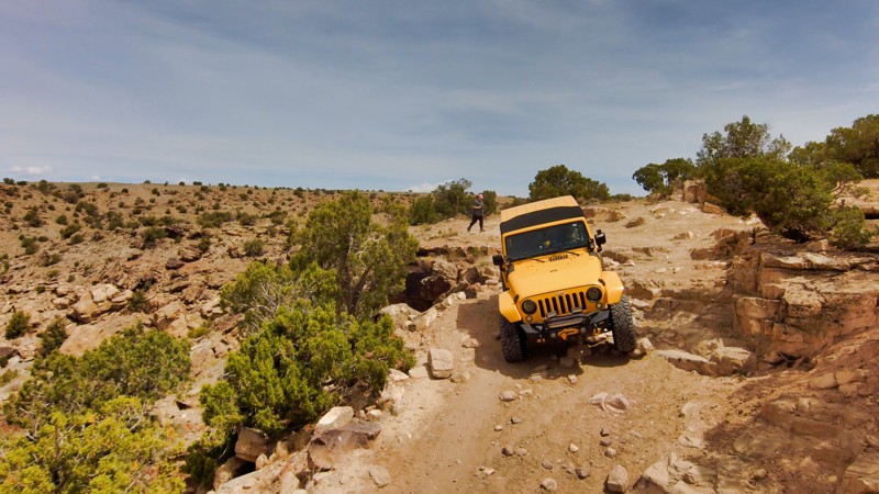
Located southwest of Telluride, Colorado, in the eastern shadow of Mount Wilson and the Lizard Head Wilderness, Sunshine Mesa is a picturesque road filled with astonishing sights. This road offers sightseers birdseye river views, dense aspen groves for rich fall colors, abundant summertime wildflowers, historic old west homestead ruins, and picture frame mountain tops.
Updated: 06/11/2024
Lion's Loop
Fruita, Colorado
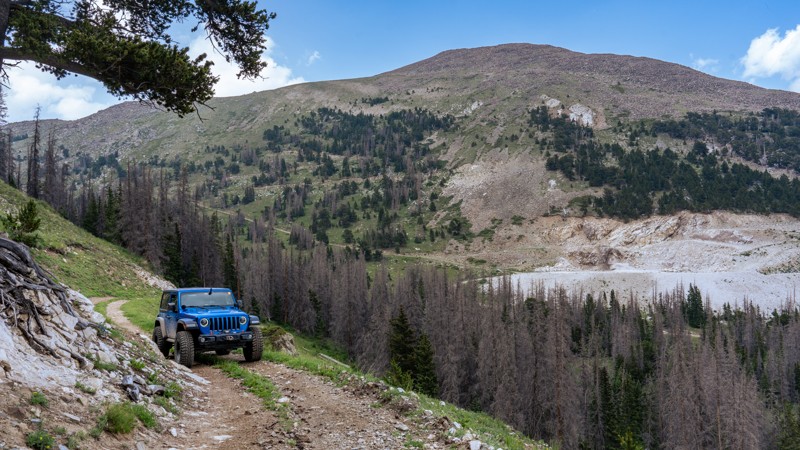
In the remarkable high desert terrain near Fruita, CO, Lion's Loop offers a sublime adventure for off-roaders. This trail wends through undulating sandstone ridges and rich juniper forests, giving way to panoramic vistas of the Book Cliffs and the imposing Colorado River Valley and Horsethief Canyon. It's a natural roller coaster of challenging ascents, heart-racing descents, and tight, technical sections that demand skill, nerve, and rewards with a burst of adrenaline and a feast of scenery. As the sun dips below the horizon, Lion's Loop transforms into a vantage point showcasing the west's most magnificent sunsets. Lion's Loop is an unforgettable highlight of Colorado's outdoors, with a stunning blend of geological wonder, riding challenges, and natural tranquility.
Updated: 08/06/2024
Taylor Mountain
Maysville, Colorado
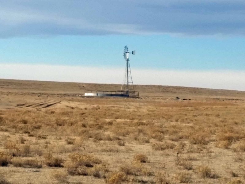
Traversing through the southern Sawatch Range, Taylor Mountain is a constantly climbing high alpine road weaving its way through a maze of old mining roads. Dilapidated buildings and mine tailings dot the landscape of an area rich in geological history, dating back to the late 1800s. With productive mines pulling in millions of dollars in silver, gold, lead, and copper, there has been no shortage of abundant natural resources as the area continues to be mined for limestone and quartz to this day. With plenty of scenic views and sights to see, Taylor Mountain will easily sneak its way onto your list of favorite trails within central Colorado.
Updated: 03/20/2023
Pawnee Grasslands Willow Creek Loop
Briggsdale, Colorado
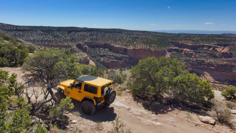
Sprawling across the plains northeast of Greeley, Colorado, the Pawnee Grasslands are criss-crossed by a network of gravel county roads and 2-track dirt Forest Service Roads. These easy roads offer an alternative to the usual mountain ‘wheeling of the Colorado Rockies, especially from late fall to early spring when many of the mountain trails are snowed in. The Pawnee Grasslands are an internationally recognized bird-watching area and support many species of birds, especially during migration season. Pronghorn, prairie dogs and other wildlife are plentiful and there are opportunities for hiking, target shooting, camping and star gazing as well as a rich history with a mix of abandoned homesteads and working farms and ranches. This route combines several Forest Service Roads connected by a few short sections of County Roads along the northern edge of the Willow Creek drainage providing wide open views of the rolling hills and plenty of solitude.
Updated: 06/09/2024
Rattlesnake Arches
Grand Junction, Colorado
Riding along the top of McInnis Canyons National Conservation Area, Rattlesnake Arches is an easy offroad trail surrounded by protected wilderness. Taking this trail gives you spectacular views of the canyons off to the left and right while traveling toward the hiking trails in Pollock Canyon and Rattlesnake Canyon. This area is known as the Black Ridge Canyons Wilderness, where the canyons are 400 feet deep in places. The area contains the second most extensive collection of arches in the National Park System, many easily accessible. This trail requires you to take Black Ridge Upper Road or Black Ridge Lower Road to the trailhead. Combining these trails makes for a good half-day of driving through beautiful desert scenery.
Updated: 06/18/2026
Twin Lakes Spur aka B-17 Plane Crash Access
Rustic, Colorado
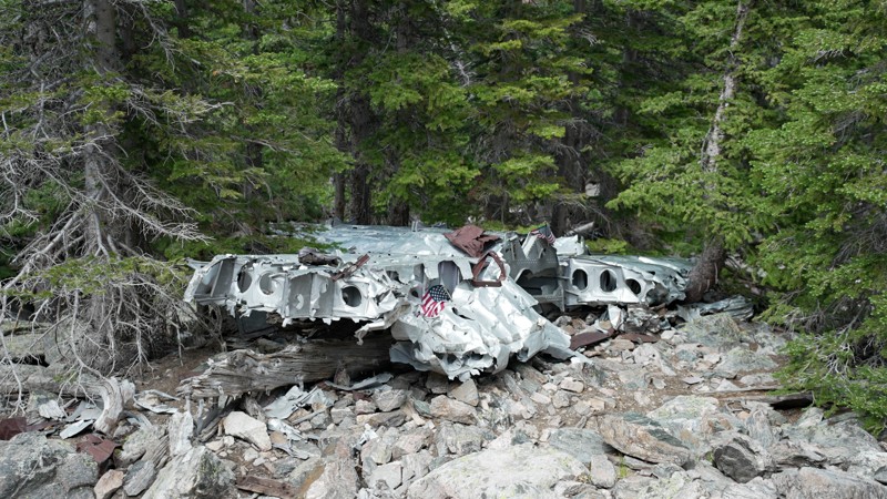
If you are into history, hiking, and have a 4-wheel drive vehicle, pack a lunch and throw the hiking boots in the truck. This trail is for you.
On June 13, 1944, an Army Air Forces B-17 flying a training mission out of Rapid City, South Dakota, went off course and slammed into a mountainside in Northern Colorado, killing four of the ten airmen on board.
This trail is presumed to be one of the trails created to extract important pieces of the plane. There is a lot of history still left at the crash site.
The hike that typically starts at the CSU Mountain Campus is about 5.7 miles long and 1230 feet ascent. This scout route will take you to the alternate hiking route, which is only 4.4 miles and 760 feet ascent. There are also several campsites available if you are trying to camp near the trailhead.
Updated: 06/15/2024
Happy Platte Road
Lake George, Colorado
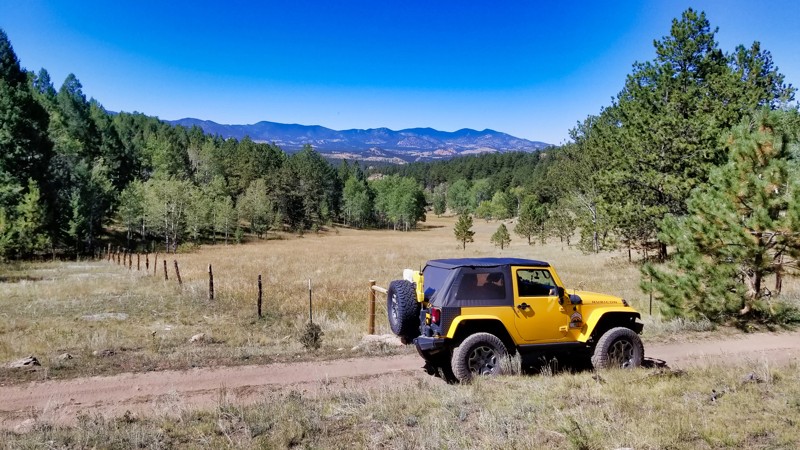
Coursing through the vast expanse of Colorado's wilderness, Happy Platte Road, coupled with Platte Springs Road, offers a looped off-roading journey that seamlessly marries tranquility and adventure. As you navigate this enchanting route, you are enveloped by verdant meadows and dense forests, creating a serene backdrop for an engaging drive suitable for newcomers and seasoned off-roaders. The gentle terrain of this loop provides a relaxing journey, while the surrounding panoramas, defined by the formidable Tarryall Mountains, create a mesmerizing spectacle. With its synthesis of stunning natural beauty and mild off-roading challenge, the Happy Platte-Platte Springs loop offers an immersive Colorado experience, perfectly embodying the region's spirit of outdoor thrill intertwined with serene, scenic splendor.
Updated: 04/15/2024
Black Ridge Upper Road
Grand Junction, Colorado
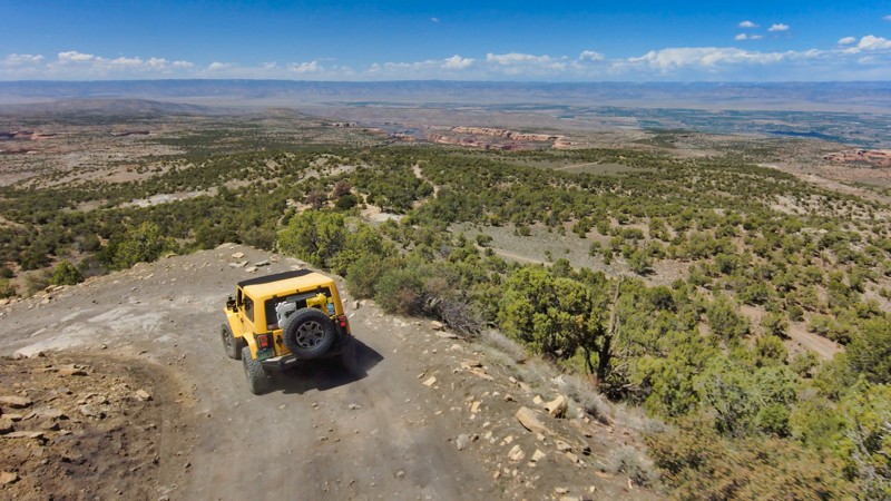
Black Ridge Upper Road is the seasonal backbone of the area and the primary trail to the magnificent Rattlesnake Arches. Though characterized by easy dirt terrain with occasional rock elements, the trail's natural appeal lies in its breathtaking scenery. Flanked by the McInnis Canyons and Black Ridge Canyons Wilderness, a 125,000-acre conservation area, the trail boasts the continent's second-largest concentration of natural arches. As you drive along the park's rim, be prepared for panoramic vistas revealing the expanse of the conservation area in all directions. But the experience doesn't end at the trail's edge. There's ample camping, especially for overlanders, with sites that offer stunning canyon views. And once off the road, explore the conservation area's additional recreational opportunities, including hiking and horseback riding. All in all, this trail provides an easy ride but delivers a high-impact visual experience.
Updated: 12/01/2023
Big Red Park Road
Clark, Colorado
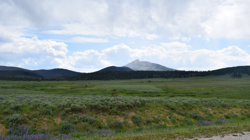
Big Red Park Road is the main road into Big Red Park north of Hahns Peaks in the Routt National Forest. It takes you through the beautiful valley's connecting to several trail networks before heading straight into the forest and turning into a trail itself. The trail section takes you right through the heart of the forest and travels along one of the lower ridges of the Continental Divide. When you get to the end of the trail you find a sign recommending only modified 4x4 with skilled drivers continue from there. Big Red Park Road is an interesting drive and could be the start of an adventure for the more extreme offroader.
Updated: 08/27/2025
Tellurium Creek
Ashcroft, Colorado
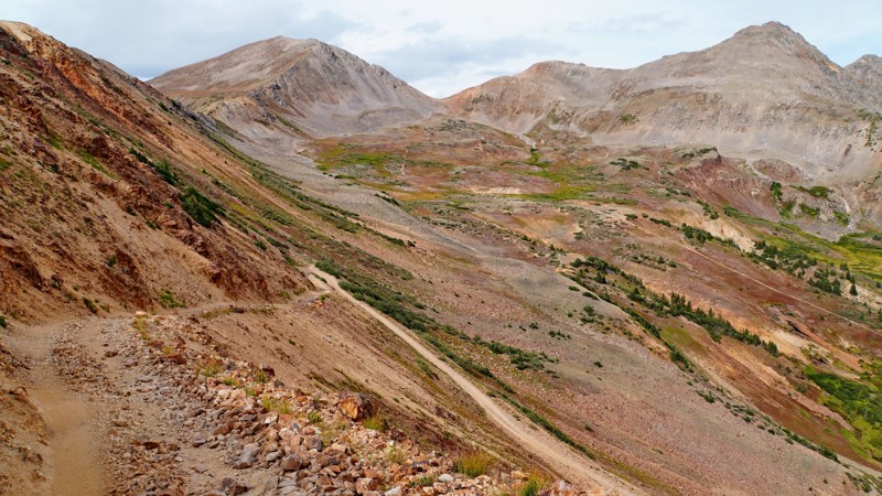
The Tellurium Creek trail is a lesser-known but spectacular trail in northern Taylor Park, which follows a narrow corridor into an isolated pocket cherry-stemmed out of the Collegiate Peaks Wilderness Area, surrounded by towering peaks on all sides.
The first few miles consist of a rough and rocky trail following Tellurium Creek up a forested valley with multiple excellent campsites before opening up into a series of meadows and willow bogs where moose can commonly be found. At around 4.6 miles, the trail forks and forms a lasso shape, looping up and over a striking ridge line high above timberline with amazing views of the Tellurium Creek and Pine Creek valleys.
The route up the ridge to the east is easier and wider, while the route up the west side involves a series of narrow and off-camber switchbacks across a talus field. While the Funtreks guidebook recommends the west route only for ATVs, it is wide enough for narrower full-size vehicles like Jeeps but likely not for full-size trucks. The outside edge of the trail is raised enough that there is little danger of sliding off as long as you take it slow and carefully. On the ridge's eastern side, there is also a connecting route across the scree field back to the main fork in the trail, which you can take to make a loop if the path to the summit is blocked by snow. The eastern fork also accesses the hiking trail to Ptarmigan Lake, with a small parking area at the trailhead.
The legality of these routes is confusing, as the MVUM doesn't show either the loop-back path or the connecting segment to the summit on the ridge's eastern side, even though both are shown as legal routes on the map for the 2010 travel plan. The Forest Service has confirmed that the entire loop over the summit is a legal route, though they are unsure about the middle loop-back path and will be working on corrections to the MVUM.
Two short spur routes appear open on the ground but are not shown on the MVUM. One at the top of the ridge is almost certainly illegal to drive because it extends about 600 feet into the Collegiate Peaks Wilderness Area, ending at a high point with excellent views of Ptarmigan Lake and the surrounding peaks. This spot is worth hiking to from the saddle at the top of the authorized trail (0.3 miles one way). The other spur takes off from the bottom of the switchbacks on the western side of the ridge and dead-ends at a small turnaround. Its legality is unclear as it was not inventoried for the 2010 travel plan, so it should be assumed to be illegal as well unless the Forest Service revises the MVUM.
Updated: 09/14/2026
Twin Cone
Jefferson, Colorado
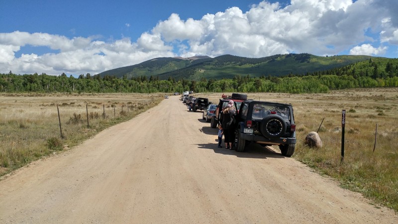
Once an iconic high alpine Colorado rock crawling trail, Twin Cone was an unfortunate victim of trail closure litigation in 2015. This litigation gated off the upper 2 miles of trail and all of the difficult rock sections. The trail starts at the summit of Kenosha Pass and goes east towards North Twin Cone Peak, passing through several Aspen tree tunnels. Beautiful valley views make this an excellent fall colors trail.
The trail officially ends at the 5.5-mile mark, where you reach a steel Forest Service gate. Regardless of the position of this gate, the road is closed to motor vehicle traffic beyond this point and well signed. The road surface is mostly packed dirt with small embedded rocks and occasional potholes. The trail is now suitable for any vehicle with good ground clearance. Seasonally closed 1/1-5/15. The opening date is dependent on wet conditions. Several good dispersed campsites are along the route.
Please respect closures and contact local officials to learn more about how you can help attempt to re-open the remaining section of trail for future use.
Updated: 09/27/2023
Roll Over Road
Monument, Colorado
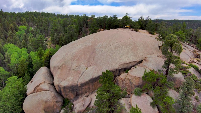
This off-the-beaten-path trail, distinct from its busier neighbor Schubarth Road, offers a serene off-roading journey through a regrowth phase forest recovering from recent fire mitigation efforts. The trail's end is marked by a massive rock feature, a perfect camping spot offering panoramic views of the South Beaver Creek valley. Regardless of the season, Roll Over Road provides diverse experiences: engaging snow wheeling in the winter, with thrilling off-camber spots and frozen creek crossings, and the arrival of summer brings beautiful weather and a chance to appreciate the newfound scenery in the wake of the recent clearing. Embrace the resilience of nature and the thrill of off-roading with Roll Over Road.
Updated: 03/12/2026
South Salt Creek
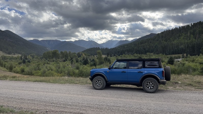
Antero Junction, Colorado
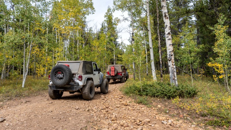
South Salt Creek Road is an excellent side trip when traveling Highway 285 to and from Denver and Buena Vista, allowing you to drive on dirt right into Buena Vista. The dense aspen and pine forest hides the typical epic views of the surrounding peaks. Still, it provides an opportunity to see an old homestead and find a few generously wooded and secluded campsites while avoiding pavement.
Updated: 06/04/2026
East Fork Road
Pagosa Springs, Colorado
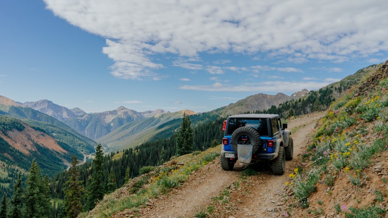
Starting from the west off Highway 160, East Fork Road is a well-maintained forest service road. The road is lined with campsites, both designated and dispersed, and they range in size from single-vehicle sites to sites large enough for multiple motorhomes. Most of the road parallels the East Fork San Juan River, from being right on the banks of the river to being high above the river in its steep canyon.
Just past the four-mile mark is a sign for Elwood Pass. The sign lists trail requirements, including 4WD, low range, and high ground clearance, all of which come into play later. The obstacles get more challenging the further you go, ranging from washed-out deep ruts that swallow your tires to large rocks that scrape your undercarriage if your ground clearance is not high enough. There are also several shallow water crossings. Tight tree line portions may leave larger rigs with new pinstripes. With proper tire placement, the trail can be completed by a stock 4x4 with high clearance and low range. The shelf road sections provide expansive meadows with views of the San Juan Mountains.
Updated: 09/09/2026
Bullion King
Ironton, Colorado
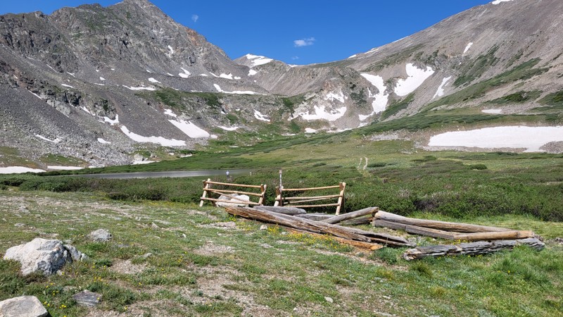
Bullion King is a quick out-and-back trail that offers big views. It runs parallel to the beginning of the iconic Black Bear Pass and ends at the mouth of Porphyry Basin, where the Porphyry Basin Mine once stood. Though Bullion King is a straightforward, non-technical drive, with no obstacles, drivers should be aware of a significant stretch of dangerous, narrow shelf road. Keep an eye out for oncoming vehicles on the shelf and note places that provide an opportunity for passing, because it is a single vehicle-wide road. At the trail's end is a parking area for the Porphyry Basin Trailhead that takes hikers up and around several small alpine lakes, including Bullion King Lake and Porphyry Lake.
Updated: 08/17/2026
Crystal Lake
Blue River, Colorado
The Crystal Lake 4x4 trail accesses a handful of very popular hiking trails and ends at the lower of the two Crystal Lakes. A side trip to Francie's Cabin is now gated and only accessible on foot.
The trail is rough and rocky but has no obstacles. Where this trail diverges from the easier Spruce Creek Road, a fairly steep, loose, and rutted hill acts as a bit of a "gatekeeper". The trail is very narrow and has few places to pass. This requires more than normal patience and courtesy for the many hikers you will encounter. A few tall water breaks could drag on vehicles without good ground clearance. A large willow brush meadow at treeline all but guarantees some Rocky Mountain pinstripes on your paint.
Officially, the USFS allows camping at "designated dispersed sites". However, there are no designated sites along Crystal Lake. Despite several inviting spots, there is no legal camping on this trail.

Upgrade your Membership
Unlock all of the details on every Trail Guide and Scout Route.
Start a 7-day Free TrialBrowse Trails in Colorado by City
Browse every Colorado city with offroad trail guides.
Community
Partners

