







By clicking "ACCEPT", you agree to be the terms and conditions of each policy linked to above. You also agree to the storing of cookies on your device to facilitate the operation and functionality of our site, enhance and customize your user experience, and to analyze how our site is used.
Arizona Off-Road Trails
373
Total Trail Guides 359

4679
Detailed Waypoints 676
Try a Free 7-Day Trial and unlock it all
Start a Free Trial Most Recent Trail Reviews
No Rating
Open
Visited: 09/23/2026
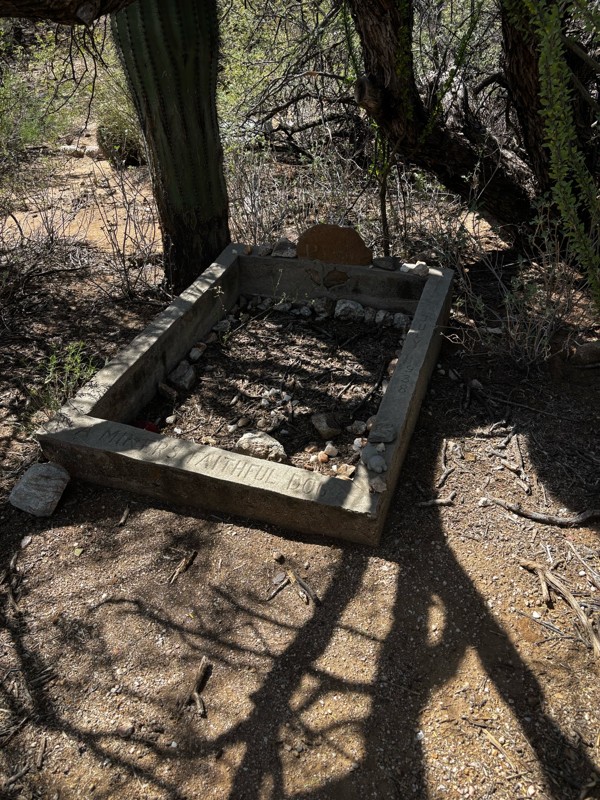
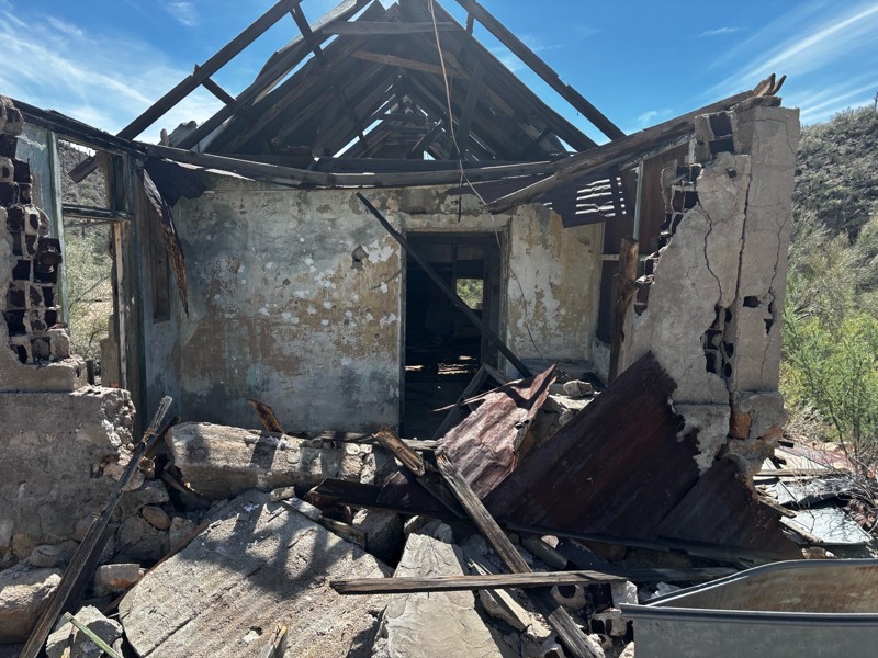
Gets a little technical at the end but the difficulty is spot on.

KR
Keith Ringiesen
No Rating
Open
Visited: 09/22/2026
The road was very smooth with the normal views running through the pines. Reminded us of many of the trails in the White Mountains.
T
Tom
No Rating
Open
Visited: 09/22/2026
Even with all of the recent rain, this trail was mostly dry ... a few ruts had water in them. Looks like there was a bad washout at the northern end of the trail on Apache Maid between waypoints 7 an...
T
Tom
No Rating
Open
Visited: 09/22/2026
Still an easy trail ... even after all of the rain.
T
Tom
Rated 4/5
Open
Visited: 09/22/2026
Hard pack, easy forest service road that is a great back way to the North Rim of the Grand Canyon.

Tyler D’Hulst
Rated 4/5
Open
Visited: 09/22/2026
Spring Canyon is a beautiful drive. We didn’t go out to the cabin but used this western section of road coming back from Crazy Jug

Tyler D’Hulst
Rated 4/5
Open
Visited: 09/22/2026
We took this out to Crazy Jug. The northern section is hard packed forest service road. Not difficult. Very scenic drive through the ponderosas.

Tyler D’Hulst
Rated 5/5
Open
Visited: 09/22/2026
View point is spectacular! Trail was easy going out, no obstacles at all. Saw a Toyota Camery at the viewpoint.


Tyler D’Hulst
Rated 3/5
Open
Visited: 09/22/2026
An alternative route out to Crazy Jug Point. It’s easy and can be scenic in areas. I’d recommend West Ryan out to Crazy Jug though.
Tyler D’Hulst
Rated 3/5
Open
Visited: 09/22/2026
A quick connector trail through the burn patch.
Tyler D’Hulst
Rated 4/5
Open
Visited: 09/20/2026
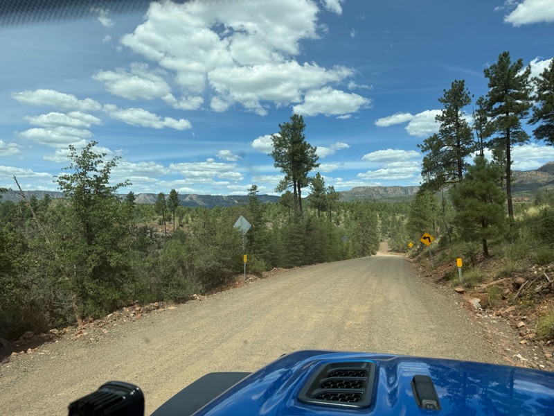
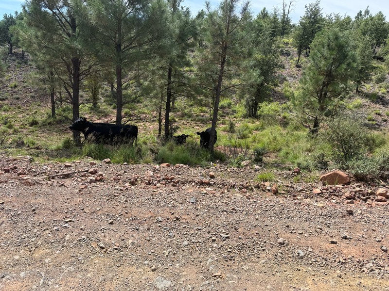
Trail was as described. Scenic but not particularly memorable. A few creek crossings would be fun if there had been recent rain. Easy drive in 2w the whole way. Be sure to pull off and check out wher...

Troy P
Rated 5/5
Open
Visited: 09/20/2026
Leviathan Mine trail is a full day trip. Though it is only 20 miles in length the travel is slow and rough. Majority of the trail you will be going between 5-10 MPH. Then once at the end it connects w...



Eric Gartin
Official Crew
Rated 5/5
Open
Visited: 09/19/2026
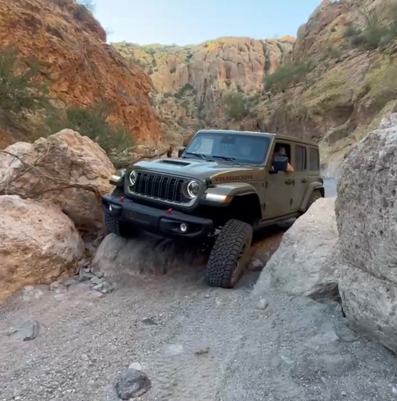
The harder obstacles aren’t that bad anymore. With the amount of sand and gravel that has washed into the canyon. The main constraint is the wedge between the 2 rocks; but I found it easy if you stick...
BC
Brian C
Rated 4/5
Open
Visited: 09/19/2026
Simple road, well graded today. Many mountain bikers coming down from the West out of Breezy Pines. Not too many people out until approaching Senator Hiway. We went East to West as I think thats a bet...



Jeff Burnett
Rated 3/5
Open
Visited: 09/19/2026
The trail itself is not spectacular, it's pretty flat across the plains. However, driving up to the overlook and seeing a huge gaping hole in the ground is a great juxtaposition to the flat trail. The...
Tyler D’Hulst
Rated 3/5
Open
Visited: 09/19/2026
A nice trail ride from the main road down off the plateau. It's graded forest service road until the switchbacks. The switchbacks themselves are not difficult, road is not graded. This section has bee...
Tyler D’Hulst
Rated 3/5
Open
Visited: 09/18/2026
The end of the trail is not well marked, and can cause confusion. Also, vehicle passes are required for all backcountry routes within the Lake Mead National Recreation Area.
Eric Gartin
Official Crew

Ted Whisler
No Rating
Open
Visited: 09/17/2026
Nice ride west side a little rocky but rating is true to #2


Ted Whisler
Rated 3/5
Open
Visited: 09/15/2026
A nice drop off the plateau heading towards Marble Canyon. Not a difficult road. Road is weathered but not challenging.
Tyler D’Hulst
No Rating
Temporary Closure
Visited: 09/15/2026
Road closed due to multiple washed out wash crossings after the turn off to go up the mountain. "Road Closed" sign put out by BLM on trail.
Tyler D’Hulst
No Rating
Temporary Closure
Visited: 09/15/2026
After the turn off to head up the mountain there are multiple washed out wash crossings. A "Road Closed" sign has been put out by the BLM.
Tyler D’Hulst

Ben Ruddell
Official Crew
Rated 4/5
Open
Visited: 09/14/2026
Bogles Ranch Road is a great Sunday afternoon drive type of dirt road that climbs up in elevation and gives some spectacular views of the surrounding area. The first half passes through State and Priv...


Eric Gartin
Official Crew
Ben Ruddell
Official Crew
Rated 3/5
Open
Visited: 09/14/2026
Antares Road is an excellent way to travel from Route 66 to the eastern portion of the Lake Mead National Recreation Area. This wide county road is well maintained with minor washboarding, most of whi...


Eric Gartin
Official Crew
Rated 3/5
Open
Visited: 09/14/2026
Hackberry road is a wide dirt road with minimal erosion damage and washboarding. There are a couple of larger washes that cross Hackberry road creating wide stretches of loose sand which can cause iss...


Eric Gartin
Official Crew
Rated 3/5
Open
Visited: 09/13/2026
This is a very rough, rocky, & slow going trail. Expect around 4+ hours for the trail & another hour to get the highway. One of those trails I'm happy I did but I wont be back personally. High clearan...

Brandon W
No Rating
Open
Visited: 09/12/2026
I think the rating is spot on. The ruts and washouts at the beginning are not as bad and if you hug the inside of the shelf road they can be avoided. The middle part is same general sandy wash with ov...



Greg Page
Rated 4/5
Open
Visited: 09/11/2026
Ran this trail as part of a larger loop. Trail is in great shape. Easy for standard 4x4 with no lift. Passengers can do it until maybe the very end by the lake where the road gets rocky and washed out...


Jeff Burnett
Rated 5/5
Open
Visited: 09/10/2026
This is one of my favorite scenic trails in the area. The trail is easy to travel, but does have some optional short trails that will test your vehicle. The views from the Grand Wash Cliffs of the Hua...


Eric Gartin
Official Crew
Rated 3/5
Open
Visited: 09/07/2026
This trail by itself is nothing special. It is mostly used as an access road to get to the more technical trail such as Homecourt, Twister, and Waynes World. This is a great trail for the beginner to ...


Eric Gartin
Official Crew
Rated 3/5
Open
Visited: 09/07/2026
This trail is an enjoyable alternate route when traveling on Blake Ranch Road (7163). The trail is easy with only a handful of spots with erosion damage. The few established camping sites appear to n...


Eric Gartin
Official Crew
Rated 5/5
Open
Visited: 09/07/2026
Ran this trail from Boynton Pass Road to Loy Butte Road (opposite direction from what is listed). Ran into a few rental ATVs and a couple of Jeeps heading the opposite way. This was a fun trail wit...



Daniel Macioce
Rated 5/5
Open
Visited: 09/07/2026
This trail was a lot of fun, plus the views were amazing. I ran the trail in the order posted, starting at the south trailhead and finishing at the heritage site. Past a motorcycle, a few jeeps and a...


Daniel Macioce
Rated 4/5
Open
Visited: 09/07/2026
Nice trail, ran West to East. For some reason the map shows this a a one-way trial, East to West. That is not the case, it is a two way trail. Was pretty washed out starting around mile 12. Plenty roc...


Jeff Burnett
No Rating
Open
Visited: 09/06/2026
New trail for me. You didn’t know what it would throw at you around every corner which is why you try to find new trails or old forgotten ones
KB
Kory Burden
Rated 5/5
Open
Visited: 09/06/2026
The trail is no joke—steep, narrow, and technical enough that you’ll want to be comfortable with off-camber shelf roads, rocky terrain, and washouts that will test your vehicles articulation. The rew...



Bobby Rumbaugh
Official Crew
Rated 5/5
Open
Visited: 09/06/2026
Fun trail if you don't want to do pyeatt draw itself. Ran this trail 3yrs ago and definitely a little more erosion but, still any truck or suv with good factory ground clearance can do it. From previo...
JM
James m
Rated 4/5
Open
Visited: 09/06/2026
Ran this trail from I-17 to Sedona. Extraordinary views descending into Sedona. As others have noted, there are lots of rock on the trail, making it slow going. Passed a large number of Pink Jeeps ...


Daniel Macioce
Rated 4/5
Open
Visited: 09/05/2026
This one definitely changed over the last few years. The southern section has some legit, steep, off-camber sections. YOU NEED experience, backup, and a capable vehicle on this one now. It's not supe...


.jpg)
Bobby Nelson
Official Crew
Rated 4/5
Open
Visited: 09/05/2026
Another amazing time on this scenic crossover. We came in from Walnut Canyon and finished out on Price Road after about 6 hours. A challenging and hot day for the old TJ. Rincon Road has evolved into ...


Bobby Nelson
Official Crew
Rated 4/5
Open
Visited: 09/05/2026
We started exactly at sunrise to try and beat the heat. We planned to crossover to Box Canyon and out on Price Road. It ended up taking us 6 hours, even with all the photos and filming we did. A chall...


Bobby Nelson
Official Crew
Rated 5/5
Open
Visited: 09/04/2026
We recently ran Four Peaks after the monsoon rains. Here’s what we found and what to expect if you’re planning to run it. Have a GR8 day!

Jeep 4 Dirt
Rated 5/5
Open
Visited: 09/04/2026
Breathtaking views. Definitely don't rush through the trail. Devil's staircase was a bit slippery but awesome. A few tight stops here and there, but a trail that's a must on anyone's to do list.



Christopher Bradley
Rated 4/5
Open
Visited: 08/30/2026
Id say this is a 3.5 to 4 trail. There are some obstacles, but nothing you really need to think hard about how to approach. If you send your vehicle at it in 4 low you'll get through everything.



Justin Holsinger
Rated 4/5
Open
Visited: 08/28/2026
Rim Road (FS300) West to East. Very well groomed gravel forest road. Accessible by just about any vehicle thats not been lowered. Who does that anyway? Scenic views the whole route. Hard to believe on...


Jeff Burnett
Rated 4/5
Open
Visited: 08/28/2026
Not a bad road but it was crowded with sxs and vehicles towing campers. Hard to rate 5 stars for a busy road. Super easy any vehicle can do this. Part is paved near the freeway but the rest is gravel.

Tony Rockwell
Rated 4/5
Open
Visited: 08/28/2026
I rated 4 stars just due to the volume of sxs & camper trailers on the road.
Easy drive, any car can do this.
Ran from sheep springs to munds park, see other reviews for full route.

Tony Rockwell
Most Popular

Updated: 08/11/2026
Anderson Mill to Ruby Wash
Morristown, Arizona
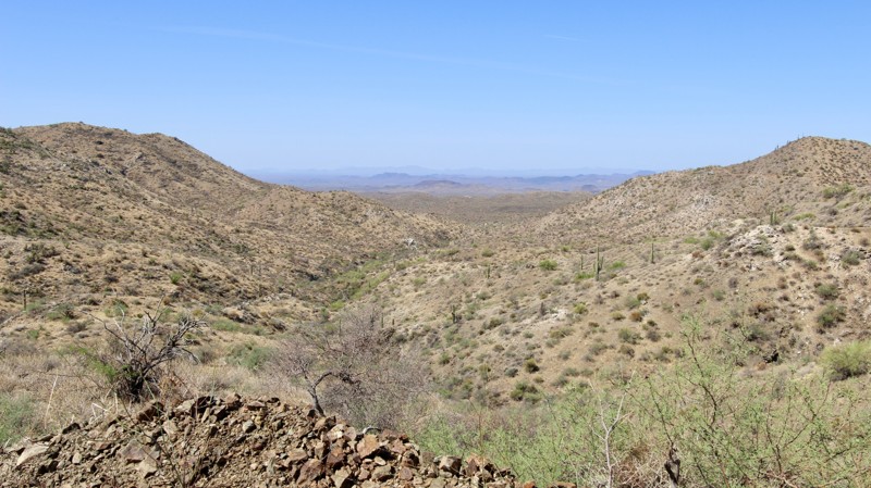
The trail starts off narrow, forcing you to thread your way through tight brush where vehicle pinstripes from stray mesquite and palo verde branches are entirely possible. It immediately tests your driving skills with a tricky, washed out ledge climb that sets the tone for the adventure. As you navigate the path, you will find yourself winding through a vibrant Sonoran Desert landscape densely populated with towering saguaro cactus, branching ocotillo, native palo verde trees, and clusters of prickly pear cactus.
Along the way, you must carefully negotiate a few minor washouts, and off-camber sections, before the trail drops into a sandy wash. It eventually climbs out of the wash, and slowly transitions into a smooth shelf road with amazing views in every direction. No campsites were located on the trail.
Any stock high clearance 4x4 vehicle, with a moderately skilled driver, can traverse this trail if you can get up the first hill. Beginners may find it intimidating, but it's doable. The trail ends at the Ruby Wash trail, where you have a few choices on where to go next. You can either exit through the last part of Ruby Wash, or go back a bit and take Trilby Wash south to Castle Hot Springs Road.
Updated: 08/13/2026
Mount Vernon
Wickenburg, Arizona
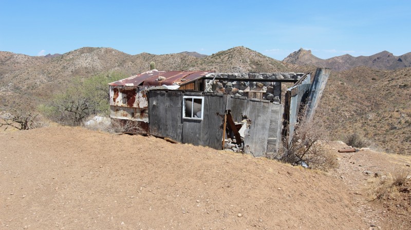
The route starts out on a narrow trail framed by towering saguaro cactus, swaying ocotillo, and low-lying prickly pear, requiring you to navigate occasional brush, a tight squeeze between fallen rocks, while watching out for minor washouts. As you climb toward the peak, the landscape gives way to surreal and historic landmarks, featuring a wrecked motorhome sitting off the trail, and the weathered remains of an old cabin in disrepair. The views from this vantage point are awesome.
After taking in the sights at the top, the final part of the journey tests you, and your vehicle, with a steep, loose, chunky, and off-camber downhill trek that guides you back down to the wash floor. The adventure concludes with one final narrow, washed-out section to navigate before you cruise smoothly to the end of the trail.
From the north, the trail to the cabin is moderate, and you can turn around at this point. If you keep going south, it becomes a difficult decent to the bottom. For even more of a challenge, take the trail north so you're going up hill. That will be quite a ride, and locking differentials will be very helpful. There's plenty of room at the top, by the old cabin, for a few vehicles to set up camp.
Any high clearance four wheel drive vehicle can make it to the old cabin, and probably down the mountain, but it depends on your experience and tenacity.
Updated: 08/27/2026
Cow Flat Road
Young, Arizona
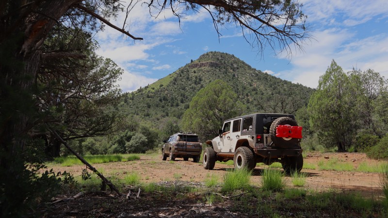
Cow Flat Road is a moderate challenge for stock-type 4x4s. The trail winds through brushy two-track across grassy meadows, with views of the Sierra Ancha Wilderness and access to the beautiful Cherry Creek Canyon. You can set up camp or your chair under a shade tree and take a hike through the wet canyon. The water flows year-round, and it’s a wonderful place to relax. Camping is limited to a couple of spots by the creek and a couple of open areas along the middle sections; it is remote and quiet.
The trail requires four-wheel drive, high clearance, and durable tires when traversing the southern portion. There is the potential for pinstripes, and there are a couple of loose-rock hills with small rock steps.
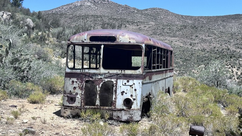
Updated: 07/16/2026
Aquarius Cliffs
Wikieup, Arizona
Aquarius Cliffs trail is a 17-mile point-to-point trail that travels up Gordon Canyon into the Aquarius Mountains. The majority of the trail is easy to travel, with some steep sections with loose rocks. Once in the higher elevations, the trail becomes a narrow mountain shelf road. The most difficult section is a narrow wash with high cliffs. Years of erosion damage have exposed large rocks and created washouts that must be negotiated.
Aquarius Cliffs trail provides many expansive views of the surrounding area. All types of desert flora and fauna can be seen on this trail. Sequoia, cholla, ocotillo, barrel, and prickly pear are some of the cacti that can be found along this trail. Drive slowly through the narrow wash for the best opportunity to see wildlife. Javelinas, kit foxes, mule deer, and burros are commonly seen in this area. Further in Gordon Canyon the remnants of mining can be found. There are old structures, vehicles, and prospecting sites along this trail.
Camping can be found along the trail in the lower elevations, once you start up the canyon there are very few camping options.
Updated: 06/29/2026
Table Mesa 9993 Pipeline
New River, Arizona
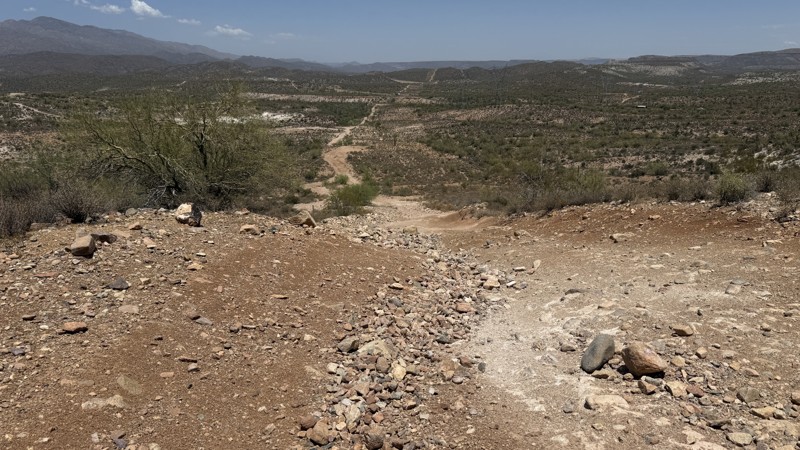
Table Mesa 9993 Pipeline trail delivers an exciting mix of steep climbs and descents that keep drivers engaged from start to finish. As the route winds through the Arizona desert, travelers are treated to sweeping views of the surrounding landscape and countless towering saguaro cacti standing guard along the trail. The terrain is covered with loose rocks ranging from baseball-sized to bowling-ball-sized, creating a constantly changing challenge under your tires. Several washouts along the route add another layer of excitement, forcing vehicles to articulate and flex their suspension as they navigate uneven ground. Along the way, a scenic camping spot provides the perfect opportunity to spend a night in the desert and take in the peaceful surroundings. Combining beautiful views, rugged terrain, and technical obstacles, this trail offers a rewarding adventure for off-road enthusiasts looking to test both their driving skills and their vehicle's capabilities.
Updated: 08/13/2026
Little Mount Ord
Tonto Basin, Arizona
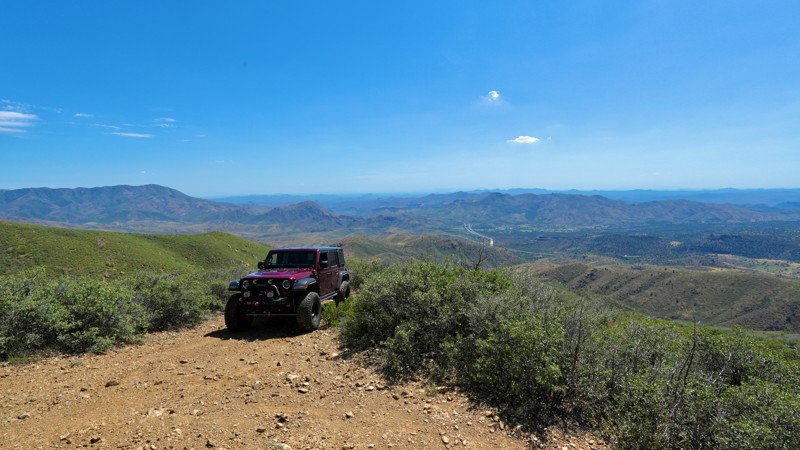
This trail offers two distinct experiences: a quiet pine forest and a narrow shelf road with scenic views. As the route winds through the trees, it passes a secluded alcove with several campsites tucked beneath the pine canopy. The area can accommodate multiple vehicles, and existing rock fire rings are available.
Beyond the campsites, the trail transitions onto a shelf road overlooking the valley below. The surface consists of rough, hard-packed dirt with exposed rocks. Although the route is not especially challenging, expect a slow and bumpy ride. The most difficult section is a sharp turn across a drainage gully, where several boulders require careful tire placement and maneuvering.
After the halfway point, the shelf road becomes increasingly narrow, and vehicles should expect significant pinstriping from overgrown vegetation. The GPX track ends at a small turnaround area. Do not continue beyond this point, as the road soon reaches a dead end with no room to turn around, requiring drivers to reverse back along the narrow shelf road.
Updated: 05/01/2026
Powerline Point
Roosevelt, Arizona
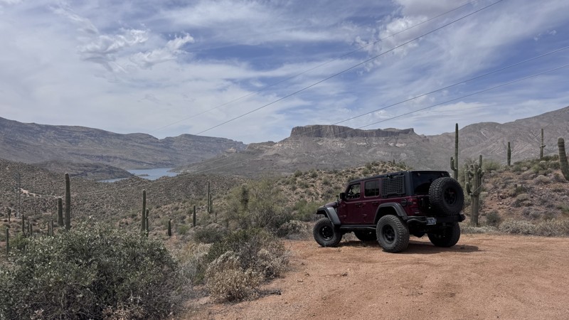
This short, hard-packed dirt trail provides quick access to an elevated viewpoint overlooking Apache Lake. Primarily used to access powerlines, the route is straightforward but does include a few short, steep climbs that may require low range in certain conditions.
As you approach the end of the trail, you’ll be rewarded with views of the lake and surrounding desert terrain. Keep in mind that the powerline infrastructure is part of the view from the overlook. The trail terminates at a small turnaround area with space for just one to two vehicles, making it best suited for short visits rather than extended stops.
There are no designated camping areas along this trail, and its primary purpose remains utility access.
Updated: 04/24/2026
FR 305
Happy Jack, Arizona
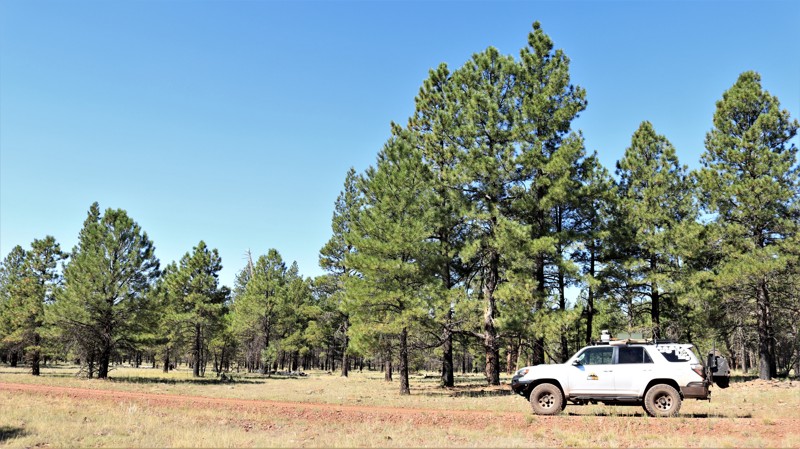
FR 305, located near Happy Jack in Arizona’s Coconino National Forest, is an easy and scenic 4.9-mile forest road that winds through a peaceful landscape of mature ponderosa pines and open meadows. Beginning just south of the Happy Jack Ranger Station, the route gently descends about 700 feet as it contours along Brady Canyon, offering a smooth, well-maintained dirt surface that is typically passable for most vehicles in a variety of conditions. With no significant obstacles, this trail is ideal for casual drivers or those looking for a relaxing cruise through classic high-country terrain, where wildlife sightings such as elk and Abert’s squirrels are common. Along the way, attentive drivers may catch a glimpse of the distinctive white dome of the Discovery Channel Telescope perched in the distance. Ample camping opportunities can be found near both ends of the route and along connecting roads, making FR 305 a perfect choice for a laid-back outing or a quiet overnight stay under the pines.
Updated: 08/27/2026
PV Wilson
Young, Arizona
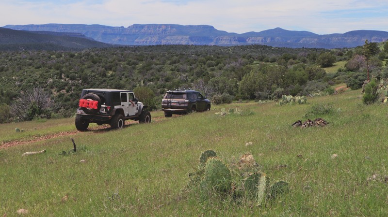
You're treated to expansive views across the Sierra Ancha Wilderness as you wind across open prairie grass. FR 54 is a worthy but bumpy challenge for stock-type 4x4s. A fun and scenic addition to the long and less difficult Rock House. Not really a shortcut to Young, but rather an alternate continuation of Rock House with a couple of moderate challenges for unmodified vehicles. The route takes about 1.5 - 2 hours to complete. The hills are steep, with loose rocks and boulders shifting under the tires. Durable off-road tires, high ground clearance, and low-range 4x4 are required. The northern section near Young is semi-graded dirt before becoming difficult east of FR 329 (Cow Flat Road).
Camping is limited along this route; it’s recommended to camp along Rock House. The region is covered by fractured rocks hidden in the grass, rolling ankles. There are spots to be found, but they can be overrun with cattle or near a water tank. A large camp area for numerous vehicles is at the eastern trailhead with Rock House.
Updated: 03/15/2026
Hewitt Powerline Crosscut
Reymert, Arizona
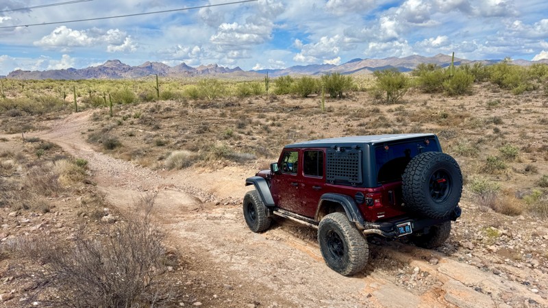
This short connector trail links the Hewitt Station Bypass and Hewitt Station Power Line trails, providing a quick route between the two. The surface consists mostly of loose rock with a single short hill that adds a bit of variety to the terrain. Drivers should use caution when crossing the wide wash area, as it can flood during or after heavy rain. While the trail offers a convenient connection, there are no viable camping spots along the route, making it best suited for short travel between trails.

Updated: 06/10/2026
7767
White Hills, Arizona
BLM Route 7767 is a 10-mile point-to-point trail along the base of the Black Mountains. 7767 provides access to several other trails into the Lake Mead National Recreation Area. The trail is straightforward, with a few dry wash crossings that will slow you down. It passes by the Pope Mine and several short spurs leading to prospecting areas.
Updated: 07/02/2026
St. Clair 1092
Camp Creek, Arizona
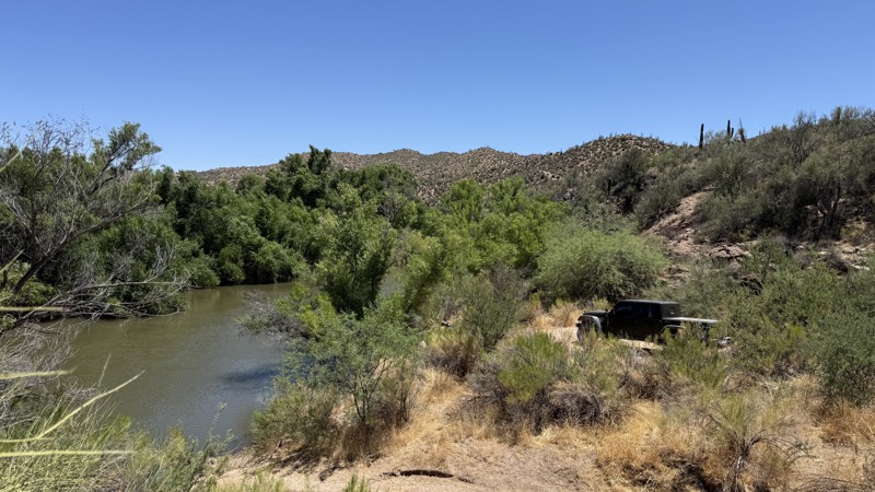
Trail 1092, located in the St. Clair OHV Permit Zone of the Tonto National Forest, winds its way through a broad sandy wash toward the Verde River. Dense desert brush lines the route, creating narrow passages where mesquite and palo verde trees crowd close to the trail, while towering saguaro cacti stand like silent sentinels across the landscape.
The trail ends at the Verde River, with thicker vegetation providing a sanctuary for wild birds and other animals, and it's a quiet place to sit and relax, enjoy lunch, or even camp for the night.

Updated: 08/13/2026
Kitty Joe Canyon Overlook
Tonto Basin, Arizona
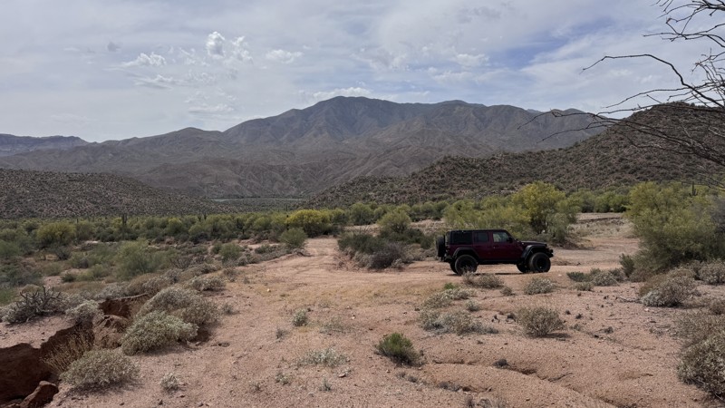
This short spur leads to a scenic overlook with expansive views across the valley, Kitty Joe Canyon, and toward the summit of Mount Ord. The trail is hard-packed dirt with embedded rocks and is generally easy to navigate in dry conditions.
A large, open campsite is located right at the beginning of the trail. The site features mostly flat dirt with enough space to comfortably accommodate four to five vehicles, making it an excellent location for groups. There is no natural shade, and the area is fully exposed to the sun. Following rain, the campsite can become muddy.
As you make your way toward the overlook, watch for a historic survey marker embedded in the ground about halfway along the trail—a small but interesting feature that is easy to miss.
The trail ends at a small overlook with spectacular views and enough room for a couple of vehicles to turn around before heading back the way you came.
Updated: 05/01/2026
Old Quarry Hill
Roosevelt, Arizona
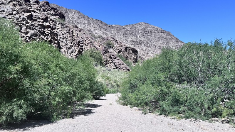
This wide, hard-packed graded trail offers an easy and accessible drive, making it suitable for most vehicles. It is smooth and well-maintained, with minimal obstacles as it winds through open desert terrain.
The trail leads to the remnants of an old quarry operation, where few signs of past activity remain. You’ll find a fire ring at the end of the trail, though camping is not permitted in this area due to the presence of multiple cattle and wildlife watering troughs. These water sources are critical in the desert, so be mindful and avoid disturbing livestock or wildlife.
While short and non-technical, this trail provides a quick outing with a bit of local history and a glimpse into the area’s past land use.
Updated: 06/10/2026
Spring Canyon Road
Meadview, Arizona
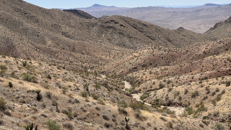
Spring Canyon Road is a 7-mile out-and-back trail that travels down Spring Canyon and ends at Burro Springs. This is an easy dirt road with minimal erosion damage. The trail passes through desert flora of Creosote Bushes and Buckhorn Cholla. Burro Springs is a vital perennial water source that allows both plants and wildlife to flourish in the arid desert. The trail ends as you approach the desert oasis. Hiking is permitted the remaining distance to the shores of Lake Mead. Dispersed Camping is not permitted on this trail.
Updated: 06/10/2026
Golden Gate Mine Road
Meadview, Arizona
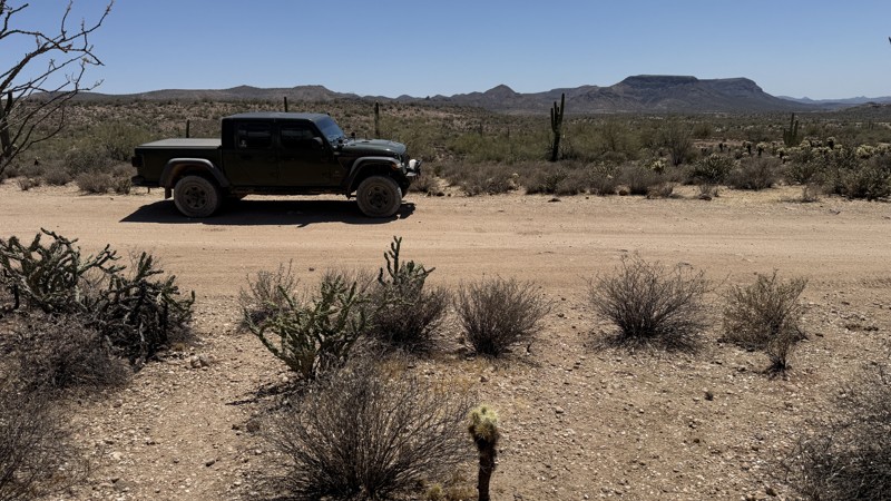
Golden Gate Mine Road is a 7-mile point-to-point trail that starts in the Hualapai Wash and climbs up over the Grand Wash Cliffs and into Meadview. There are remnants of the Golden Gate Mine about halfway up the trail. This mine was established around 1882 as part of the Lost Basin mining district. The mine intermittently operated through the years and officially closed in the 1940's due to the overwhelming presence of mining hazards. This trail has substantial erosion damage with rock gardens of small to medium-sized rocks to negotiate. As you climb in elevation, the wash narrows. There is one rock obstacle that has a set of rock ledges approximately 20" in height. As you crest the Grand Wash Cliffs, take time to look back down the valley for a great view of the Hualapai Wash area. There are a few dispersed camping sites along the BLM portion of this trail as you get closer to Meadview.
Updated: 06/18/2026
Table Mesa 9991
New River, Arizona
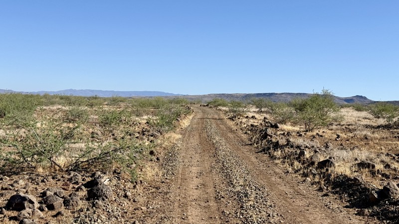
Located within the sprawling Table Mesa Recreation Area, this easy-going trail offers a relaxing drive through some of Arizona's most iconic desert scenery. Along the route, you'll be treated to sweeping views of the Sonoran Desert, with the rugged Bradshaw Mountains rising to the west and the New River Mountains framing the eastern horizon.
While the trail itself is short and uncomplicated, its scenic setting makes it well worth the trip. It's an excellent connector to several nearby routes, allowing explorers to build a longer and more rewarding backcountry adventure. The drive can be completed quickly, but most visitors will find themselves stopping often to soak in the expansive vistas and quiet desert atmosphere that make this area so special. One campsite resides along the trail.
Updated: 08/13/2026
Climax Mine
Morristown, Arizona
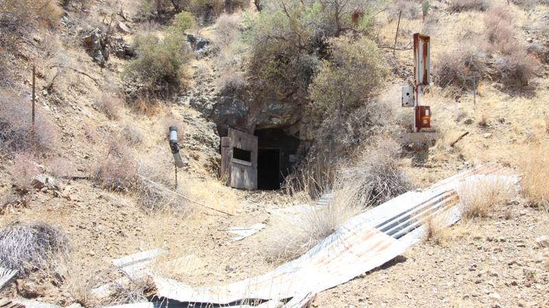
The Climax Mine is a historic, defunct underground gold mine northeast of Wickenburg, Arizona. Established around 1903 within the mineral-rich San Domingo Wash and Black Rock districts, the small-scale operation featured a 600-foot-deep shaft targeting gold embedded in Precambrian quartz veins. The site is now abandoned and surrounded by rugged desert terrain popular for off-roading.
The journey begins in a wide-open sandy wash before exiting onto a narrow trail flanked by towering saguaro cactus, green-barked palo verde trees, and sprawling mesquite. Navigating this tight path means pushing through some close brush that may leave slight pinstripes on your vehicle as you approach the historic site of the mine. Always be cautious around open mines. Look, but do not enter!
Beyond the mine, the route ramps up with a steep, challenging hill climb featuring tight switchbacks and occasional washouts along the way. The path eventually transitions into a scenic shelf road offering great vistas of the surrounding terrain, culminating in a tricky, tight turn near the end that is shored up with old power poles laid directly into the ground.
Any high clearance four wheel drive vehicle should be able to handle the trail, but when in doubt turn around or use a spotter. The mine is a short hike up a steep hill. No campsites were located.
Updated: 08/13/2026
Trilby Wash to Anderson Mill
Morristown, Arizona
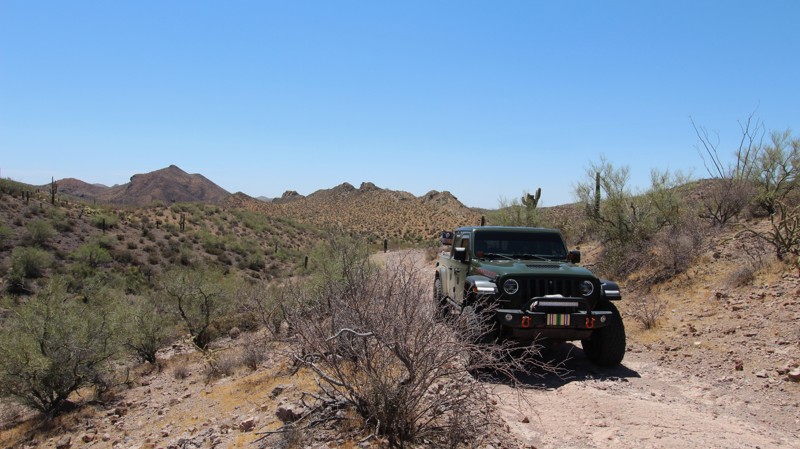
Going north, the trail kicks off inside a sandy wash near a convenient dispersed campsite, winding past iconic desert flora including saguaro, mesquite, prickly pear, cholla, and creosote. Navigating this initial stretch means pushing through some close brush that may leave a few light pinstripes on your vehicle. It then transitions into a scenic shelf road defined by rolling hills and a few off-camber washouts, along with a stair step that requires extra caution.
From there, the path squeezes into a small, tight canyon boasting really sharp switchbacks and a technical, rocky bed strewn with softball- to bowling-ball-sized rocks. After conquering this short rocky stretch, the terrain mellows out and turns back into an easy wash, cruising smoothly to the end of the trail.
This trail may push the limits of stock four wheel drive vehicles, but an experienced driver should have no issues. Long wheelbase or full size vehicles may have more difficulty through the narrow canyon section, due to the really tight switchbacks. One campsite was located at the south end near the junction with Trilby Wash.
Updated: 06/29/2026
Table Mesa 9993E
New River, Arizona
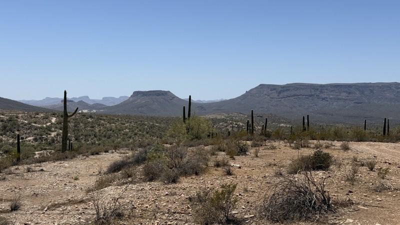
This short and easy desert trail is perfect for those looking to enjoy Arizona's scenic beauty without tackling difficult obstacles. The route meanders through stands of iconic saguaro cacti and across terrain scattered with baseball- to softball-sized rocks, providing a mild but enjoyable off-road experience. While the drive itself is relaxed and approachable, the true reward awaits at the end of the trail—a beautiful campsite perched in a location that offers impressive views of the surrounding desert landscape. Whether you're stopping for a peaceful sunset, an overnight stay beneath the stars, or simply a quiet escape into nature, this trail provides a memorable destination with all the charm of the Sonoran Desert.
Updated: 07/02/2026
Pueblo La Plata
Bensch Ranch, Arizona
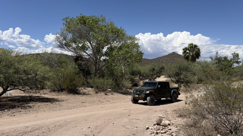
Pueblo La Plata is a well-preserved prehistoric pueblo in Agua Fria National Monument, about 45 miles north of Phoenix, Arizona. Built between about A.D. 1200 and 1450 by people of the Perry Mesa Tradition, the hilltop settlement once contained around 80–90 stone rooms that overlooked Silver Creek. Today, visitors can walk a 0.25 mile, easy trail to see the remaining stone walls and learn about the community's farming, trade, and daily life. The site is free to visit year-round, but there are no facilities, and visitors are asked to leave artifacts undisturbed and avoid climbing on the ancient walls.
The trail is a well maintained graded dirt road with a few minor bumps along the way, but nothing worse than Bloody Basin Road. Watch for occasional washouts.
Updated: 06/18/2026
Table Mesa 9994
New River, Arizona
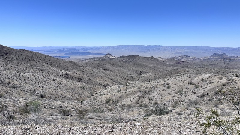
Tucked away within the expansive Table Mesa Recreation Area, this short and easy trail winds through classic Sonoran Desert terrain before revealing one of the region's most unexpected treasures. Hidden along a small wash, a natural spring breathes life into a vibrant desert oasis that feels worlds apart from the surrounding landscape.
Towering sycamore trees, their pale trunks and green canopies swaying in the breeze, provide welcome shade and a striking contrast to the rugged desert surroundings. Adding to the scene, a massive palm tree stands watch over the area, an unlikely landmark that makes this secluded retreat even more memorable.
While the trail itself is brief and easy to navigate, it connects seamlessly with several nearby routes, making it a perfect addition to a larger day of exploration. Whether you're searching for a peaceful picnic spot, or simply a scenic drive through the desert, this hidden oasis is a rewarding stop that showcases a different side of the Sonoran Desert.
Camping is found mostly on the western end, with a couple of sites suitable for a few vehicles each.
Updated: 06/10/2026
Eldorado Powerline Road
White Hills, Arizona
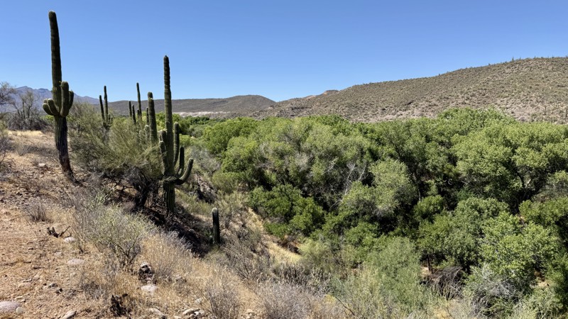
Eldorado Powerline Road is an 11-mile point-to-point trail that follows the Eldorado Powerlines over the Black Mountain range to Fire Mountain Road. The trail starts from Highway 93 and climbs over the Black Mountain range. Before the summit, there are several mining sites to explore. After the summit, the views of Lake Mohave and the surrounding mountains are stunning. This section of Eldorado Powerline Road is a narrow, switchback-laden shelf road. There are several areas along the shelf road that are suitable for dispersed camping.
Updated: 07/02/2026
St. Clair 2109
Camp Creek, Arizona
Trail 2109, located in the St. Clair OHV Permit Zone of the Tonto National Forest, winds its way down a dirt and rocky path toward a vista overlooking the Verde River. As your vehicle descends the rugged, sun-baked tracks, you will watch the harsh, saguaro-studded Sonoran desert-scrub give way to a striking geologic overlook of the Verde River canyon. Golden limestone cliffs and volcanic rock formations frame a sprawling visual reward: the dense, winding canopy of bright green cottonwood and willow trees tracing the water below. Looking out across the valley, you will see a thriving riparian refuge where bald eagles, common black hawks, and turkey vultures ride the midday thermals at eye level.
A short section has a small ledge, an off-camber washout that will flex your suspension, and baseball to bowling ball-sized rocks. Once you reach the end, there’s parking, and a place to set up a tent to spend the night. Be mindful of the overlook, so you don’t fall off the edge in the dark.

Upgrade your Membership
Unlock all of the details on every Trail Guide and Scout Route.
Start a 7-day Free TrialBrowse Trails in Arizona by City
Browse every Arizona city with offroad trail guides.
Community
Partners

