
West Rim (33.32 miles away)
Washington, Utah
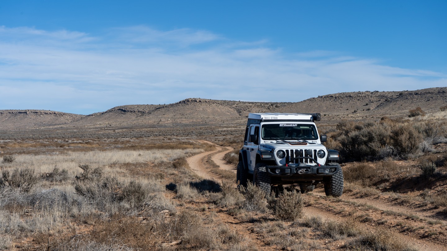

Sullivan Draw, on its northern end, begins just off of the graded Main Street and is one of several options for traveling deeper into the Arizona Strip and Grand Canyon–Parashant National Monument. The route runs generally north-south through a broad drainage and eventually connects to BLM 1039 at its southern end.
This is a classic two-track through grassy sage-land and suitable for almost any high-clearance vehicle, with no technical obstacles to speak of. Expect to encounter free-range cattle along the way, along with occasional shallow dips, bumps, and uneven stretches. Because the road follows a wide, mellow draw, most views are of the surrounding hills scattered with pinyon.
There are a handful of pre-disturbed campsites along the route, many of which offer partial shade from pinyon trees. The ground tends to be rocky at most of these sites, so come prepared with appropriate gear if you plan to camp.