







By clicking "ACCEPT", you agree to be the terms and conditions of each policy linked to above. You also agree to the storing of cookies on your device to facilitate the operation and functionality of our site, enhance and customize your user experience, and to analyze how our site is used.
Arizona Off-Road Trails
373
Total Trail Guides 359

4679
Detailed Waypoints 676
Try a Free 7-Day Trial and unlock it all
Start a Free Trial Most Recent Trail Reviews
No Rating
Open
Visited: 09/23/2026
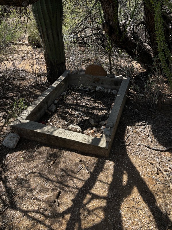
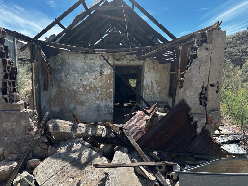
Gets a little technical at the end but the difficulty is spot on.

KR
Keith Ringiesen
No Rating
Open
Visited: 09/22/2026
The road was very smooth with the normal views running through the pines. Reminded us of many of the trails in the White Mountains.
T
Tom
No Rating
Open
Visited: 09/22/2026
Even with all of the recent rain, this trail was mostly dry ... a few ruts had water in them. Looks like there was a bad washout at the northern end of the trail on Apache Maid between waypoints 7 an...
T
Tom
No Rating
Open
Visited: 09/22/2026
Still an easy trail ... even after all of the rain.
T
Tom
Rated 4/5
Open
Visited: 09/22/2026
Hard pack, easy forest service road that is a great back way to the North Rim of the Grand Canyon.

Tyler D’Hulst
Rated 4/5
Open
Visited: 09/22/2026
Spring Canyon is a beautiful drive. We didn’t go out to the cabin but used this western section of road coming back from Crazy Jug

Tyler D’Hulst
Rated 4/5
Open
Visited: 09/22/2026
We took this out to Crazy Jug. The northern section is hard packed forest service road. Not difficult. Very scenic drive through the ponderosas.

Tyler D’Hulst
Rated 5/5
Open
Visited: 09/22/2026
View point is spectacular! Trail was easy going out, no obstacles at all. Saw a Toyota Camery at the viewpoint.


Tyler D’Hulst
Rated 3/5
Open
Visited: 09/22/2026
An alternative route out to Crazy Jug Point. It’s easy and can be scenic in areas. I’d recommend West Ryan out to Crazy Jug though.
Tyler D’Hulst
Rated 3/5
Open
Visited: 09/22/2026
A quick connector trail through the burn patch.
Tyler D’Hulst
Rated 4/5
Open
Visited: 09/20/2026
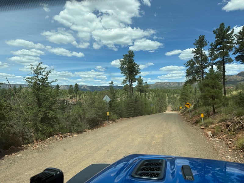
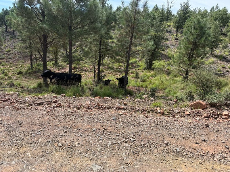
Trail was as described. Scenic but not particularly memorable. A few creek crossings would be fun if there had been recent rain. Easy drive in 2w the whole way. Be sure to pull off and check out wher...

Troy P
Rated 5/5
Open
Visited: 09/20/2026
Leviathan Mine trail is a full day trip. Though it is only 20 miles in length the travel is slow and rough. Majority of the trail you will be going between 5-10 MPH. Then once at the end it connects w...



Eric Gartin
Official Crew
Rated 5/5
Open
Visited: 09/19/2026
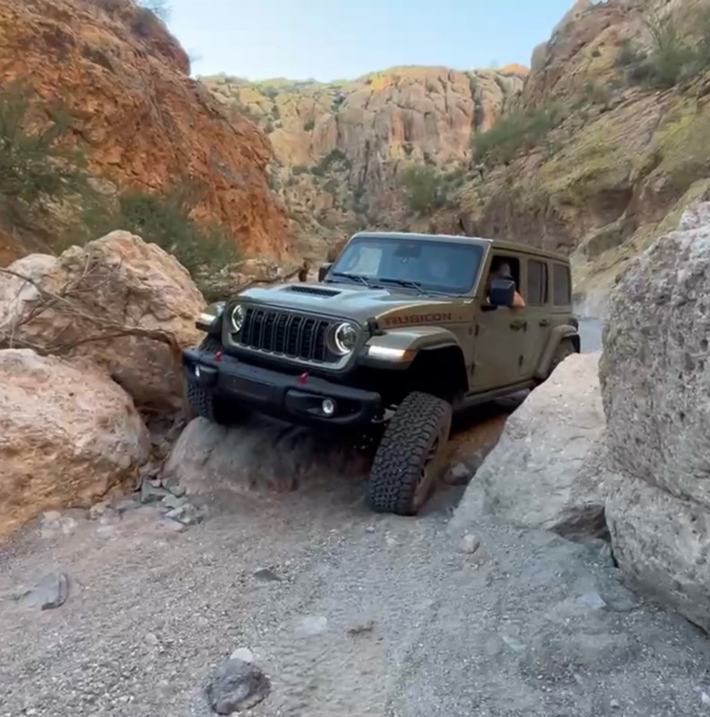
The harder obstacles aren’t that bad anymore. With the amount of sand and gravel that has washed into the canyon. The main constraint is the wedge between the 2 rocks; but I found it easy if you stick...
BC
Brian C
Rated 4/5
Open
Visited: 09/19/2026
Simple road, well graded today. Many mountain bikers coming down from the West out of Breezy Pines. Not too many people out until approaching Senator Hiway. We went East to West as I think thats a bet...



Jeff Burnett
Rated 3/5
Open
Visited: 09/19/2026
The trail itself is not spectacular, it's pretty flat across the plains. However, driving up to the overlook and seeing a huge gaping hole in the ground is a great juxtaposition to the flat trail. The...
Tyler D’Hulst
Rated 3/5
Open
Visited: 09/19/2026
A nice trail ride from the main road down off the plateau. It's graded forest service road until the switchbacks. The switchbacks themselves are not difficult, road is not graded. This section has bee...
Tyler D’Hulst
Rated 3/5
Open
Visited: 09/18/2026
The end of the trail is not well marked, and can cause confusion. Also, vehicle passes are required for all backcountry routes within the Lake Mead National Recreation Area.
Eric Gartin
Official Crew

Ted Whisler
No Rating
Open
Visited: 09/17/2026
Nice ride west side a little rocky but rating is true to #2


Ted Whisler
Rated 3/5
Open
Visited: 09/15/2026
A nice drop off the plateau heading towards Marble Canyon. Not a difficult road. Road is weathered but not challenging.
Tyler D’Hulst
No Rating
Temporary Closure
Visited: 09/15/2026
Road closed due to multiple washed out wash crossings after the turn off to go up the mountain. "Road Closed" sign put out by BLM on trail.
Tyler D’Hulst
No Rating
Temporary Closure
Visited: 09/15/2026
After the turn off to head up the mountain there are multiple washed out wash crossings. A "Road Closed" sign has been put out by the BLM.
Tyler D’Hulst

Ben Ruddell
Official Crew
Rated 4/5
Open
Visited: 09/14/2026
Bogles Ranch Road is a great Sunday afternoon drive type of dirt road that climbs up in elevation and gives some spectacular views of the surrounding area. The first half passes through State and Priv...


Eric Gartin
Official Crew
Ben Ruddell
Official Crew
Rated 3/5
Open
Visited: 09/14/2026
Antares Road is an excellent way to travel from Route 66 to the eastern portion of the Lake Mead National Recreation Area. This wide county road is well maintained with minor washboarding, most of whi...


Eric Gartin
Official Crew
Rated 3/5
Open
Visited: 09/14/2026
Hackberry road is a wide dirt road with minimal erosion damage and washboarding. There are a couple of larger washes that cross Hackberry road creating wide stretches of loose sand which can cause iss...


Eric Gartin
Official Crew
Rated 3/5
Open
Visited: 09/13/2026
This is a very rough, rocky, & slow going trail. Expect around 4+ hours for the trail & another hour to get the highway. One of those trails I'm happy I did but I wont be back personally. High clearan...

Brandon W
No Rating
Open
Visited: 09/12/2026
I think the rating is spot on. The ruts and washouts at the beginning are not as bad and if you hug the inside of the shelf road they can be avoided. The middle part is same general sandy wash with ov...



Greg Page
Rated 4/5
Open
Visited: 09/11/2026
Ran this trail as part of a larger loop. Trail is in great shape. Easy for standard 4x4 with no lift. Passengers can do it until maybe the very end by the lake where the road gets rocky and washed out...


Jeff Burnett
Rated 5/5
Open
Visited: 09/10/2026
This is one of my favorite scenic trails in the area. The trail is easy to travel, but does have some optional short trails that will test your vehicle. The views from the Grand Wash Cliffs of the Hua...


Eric Gartin
Official Crew
Rated 3/5
Open
Visited: 09/07/2026
This trail by itself is nothing special. It is mostly used as an access road to get to the more technical trail such as Homecourt, Twister, and Waynes World. This is a great trail for the beginner to ...


Eric Gartin
Official Crew
Rated 3/5
Open
Visited: 09/07/2026
This trail is an enjoyable alternate route when traveling on Blake Ranch Road (7163). The trail is easy with only a handful of spots with erosion damage. The few established camping sites appear to n...


Eric Gartin
Official Crew
Rated 5/5
Open
Visited: 09/07/2026
Ran this trail from Boynton Pass Road to Loy Butte Road (opposite direction from what is listed). Ran into a few rental ATVs and a couple of Jeeps heading the opposite way. This was a fun trail wit...



Daniel Macioce
Rated 5/5
Open
Visited: 09/07/2026
This trail was a lot of fun, plus the views were amazing. I ran the trail in the order posted, starting at the south trailhead and finishing at the heritage site. Past a motorcycle, a few jeeps and a...


Daniel Macioce
Rated 4/5
Open
Visited: 09/07/2026
Nice trail, ran West to East. For some reason the map shows this a a one-way trial, East to West. That is not the case, it is a two way trail. Was pretty washed out starting around mile 12. Plenty roc...


Jeff Burnett
No Rating
Open
Visited: 09/06/2026
New trail for me. You didn’t know what it would throw at you around every corner which is why you try to find new trails or old forgotten ones
KB
Kory Burden
Rated 5/5
Open
Visited: 09/06/2026
The trail is no joke—steep, narrow, and technical enough that you’ll want to be comfortable with off-camber shelf roads, rocky terrain, and washouts that will test your vehicles articulation. The rew...



Bobby Rumbaugh
Official Crew
Rated 5/5
Open
Visited: 09/06/2026
Fun trail if you don't want to do pyeatt draw itself. Ran this trail 3yrs ago and definitely a little more erosion but, still any truck or suv with good factory ground clearance can do it. From previo...
JM
James m
Rated 4/5
Open
Visited: 09/06/2026
Ran this trail from I-17 to Sedona. Extraordinary views descending into Sedona. As others have noted, there are lots of rock on the trail, making it slow going. Passed a large number of Pink Jeeps ...


Daniel Macioce
Rated 4/5
Open
Visited: 09/05/2026
This one definitely changed over the last few years. The southern section has some legit, steep, off-camber sections. YOU NEED experience, backup, and a capable vehicle on this one now. It's not supe...


.jpg)
Bobby Nelson
Official Crew
Rated 4/5
Open
Visited: 09/05/2026
Another amazing time on this scenic crossover. We came in from Walnut Canyon and finished out on Price Road after about 6 hours. A challenging and hot day for the old TJ. Rincon Road has evolved into ...


Bobby Nelson
Official Crew
Rated 4/5
Open
Visited: 09/05/2026
We started exactly at sunrise to try and beat the heat. We planned to crossover to Box Canyon and out on Price Road. It ended up taking us 6 hours, even with all the photos and filming we did. A chall...


Bobby Nelson
Official Crew
Rated 5/5
Open
Visited: 09/04/2026
We recently ran Four Peaks after the monsoon rains. Here’s what we found and what to expect if you’re planning to run it. Have a GR8 day!

Jeep 4 Dirt
Rated 5/5
Open
Visited: 09/04/2026
Breathtaking views. Definitely don't rush through the trail. Devil's staircase was a bit slippery but awesome. A few tight stops here and there, but a trail that's a must on anyone's to do list.



Christopher Bradley
Rated 4/5
Open
Visited: 08/30/2026
Id say this is a 3.5 to 4 trail. There are some obstacles, but nothing you really need to think hard about how to approach. If you send your vehicle at it in 4 low you'll get through everything.



Justin Holsinger
Rated 4/5
Open
Visited: 08/28/2026
Rim Road (FS300) West to East. Very well groomed gravel forest road. Accessible by just about any vehicle thats not been lowered. Who does that anyway? Scenic views the whole route. Hard to believe on...


Jeff Burnett
Rated 4/5
Open
Visited: 08/28/2026
Not a bad road but it was crowded with sxs and vehicles towing campers. Hard to rate 5 stars for a busy road. Super easy any vehicle can do this. Part is paved near the freeway but the rest is gravel.

Tony Rockwell
Rated 4/5
Open
Visited: 08/28/2026
I rated 4 stars just due to the volume of sxs & camper trailers on the road.
Easy drive, any car can do this.
Ran from sheep springs to munds park, see other reviews for full route.

Tony Rockwell
Most Popular

Updated: 10/15/2024
Coconino FR6403
Oak Creek Canyon, Arizona
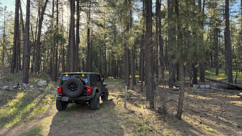
FR 6403 is a short, easy, hard-packed dirt trail that dead ends at the intersection of two other closed trails. One large, established campsite can comfortably accommodate 4-5 vehicles. It is flat, grassy, and has a rock fire ring.
Updated: 03/09/2026
NW Tweeds Point
Scenic, Arizona
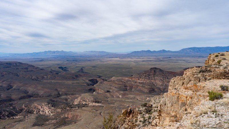
There are two routes up the Tweeds Point plateau, and this one approaches from the northwest. The route crosses a dissected high plateau with broad views into the Grand Wash Cliffs Wilderness to the south and the Pakoon Basin to the west.
The drive begins in Hobble Canyon on BLM Road #1032, passing through Tweedie Hollow and an area of dead trees before climbing into the grassy uplands above. Several washes must be crossed, and the uphill sections include erosion that may require careful tire placement and straddling. Once on top, the road follows the natural contours of the terrain, reaching a fork that leads to a scenic overlook to the south. The main road continues to a more prominent overlook, where it ends at a single previously disturbed campsite with views down into Hidden Canyon, across the Grand Wash Cliffs Wilderness, and out over the Pakoon Basin.
The road is non-technical, but avoid travel during rain or wet conditions due to mud and traction issues. Suitable for high-clearance vehicles with 4-low.
Updated: 06/10/2026
Bonelli Landing Road
Bonelli Landing, Arizona
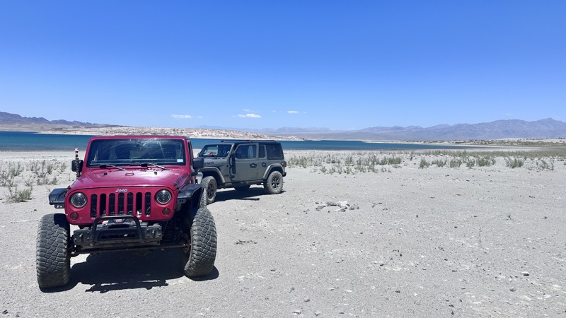
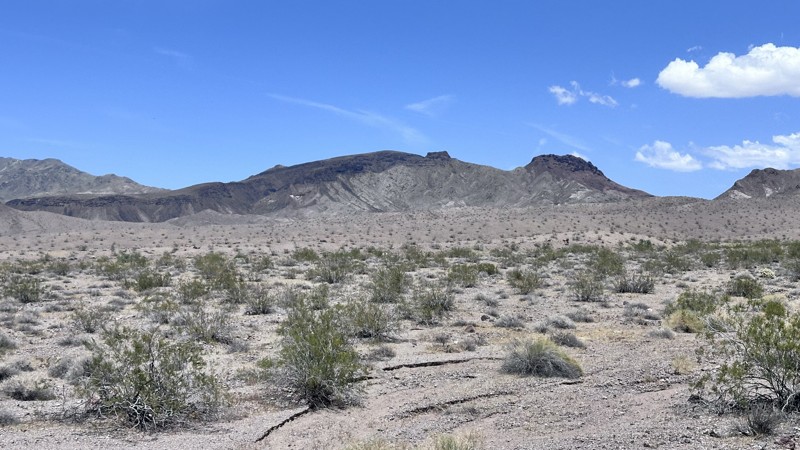
Bonelli Landing Road is a 14.6-mile out-and-back trail that connects Temple Bar Road (paved) to the Lake Mead shore. Before the construction of Hoover Dam and Lake Mead, Bonelli Landing was the site of a ferry service between Nevada and Arizona across the Colorado River. Now this is a great spot for boondockers looking for solitude. The road has some light erosion damage and shallow sand, which could be problematic for heavier vehicles and trailers.
Updated: 06/10/2026
Mead-Liberty/Phoenix Powerline Road
Willow Beach, Arizona
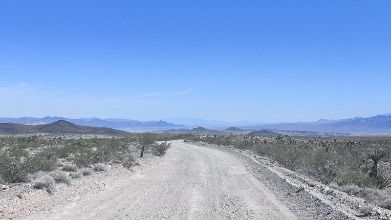
Mead Liberty/Phoenix Powerline Road is a 5.3-mile point-to-point trail that connects Jumbo Wash Road to Highway 93. The trail runs along a set of high-tension power lines with several tight switchbacks on a narrow shelf road. The views of Jumbo Wash and Malpais Flattop Mesa along this trail are spectacular. The terrain can be rough and rocky at times, but the trail is suitable for any AWD or 4WD vehicle.
Updated: 06/10/2026
Back Road to Temple Bar
White Hills, Arizona
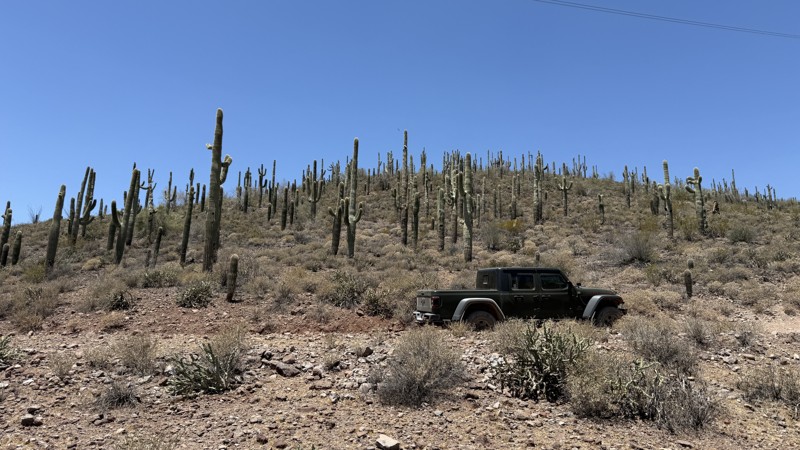
Back Road to Temple Bar is a 23.6-mile point-to-point trail that crosses the open desert, passing through Joshua trees and sagebrush, and ends at the Temple Bar Marina on Lake Mead. The first section of the trail is a maintained road that passes through windmill farms, which then turns into a double-track trail of rough dirt and loose sand. There are several spots along the trail where water erosion has created shallow trenches to negotiate. As the trail gets closer to Temple Bar Marina, you can see the blue of Lake Mead contrasting against the desert colors. Temple Bar Marina has a boat ramp, a tent and RV campground, a store, a hotel, and a restaurant.
Updated: 06/10/2026
Boulder Creek Ranch Powerline
New River, Arizona
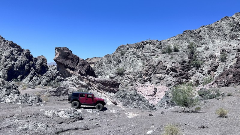
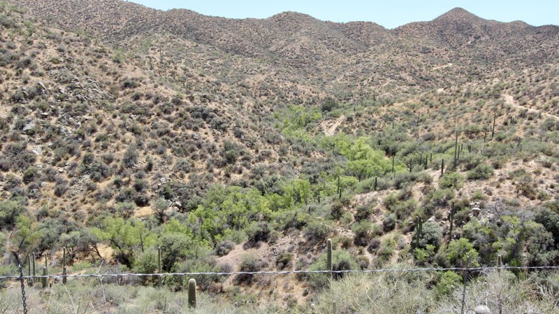
Boulder Creek Ranch Powerline cuts through a stunning stretch of Sonoran Desert where towering saguaro cacti stand so densely packed it feels like driving through a cactus forest. The trail is mostly dirt with scattered softball-sized rocks and a handful of washouts that keep drivers alert and add just enough challenge to the adventure.
One primitive campsite sits right along the trail, offering a quiet spot to take in the desert sunsets and star-filled skies. While the route feels remote and rugged, a stock 4x4 with decent clearance is more than capable of handling the terrain.
The trail runs north-south and connects West Gasline Road to Table Mesa 9952, also known as Crapshoot, and to Crapshoot Powerline. Make sure you read the description of Table Mesa 9952, because it is more difficult going south to north.
An Arizona State Trust Land Recreation Permit is required.
Updated: 06/10/2026
Fire Mountain Road
White Hills, Arizona
Fire Mountain Road is a 16.5 mile out-and-back trail that follows a wash in the Lake Mead National Recreation Area. There are several old mines along this trail to explore, the largest one being the Van Deemen Mine. Be careful around open pit mines, the ground can be unstable. The trail is mostly a sandy wash with light washboarding. Fire Mountain Road ends at a narrow slot in the rocks. The slot is wide enough for a vehicle, and has a great waterfall obstacle, but is not open for motorized vehicles. The remaining 2 miles to Red Tail Cove is for Hiking only. There is dispersed camping at the end of the motorized trail.
Updated: 06/10/2026
Copper World Mine
Yucca, Arizona
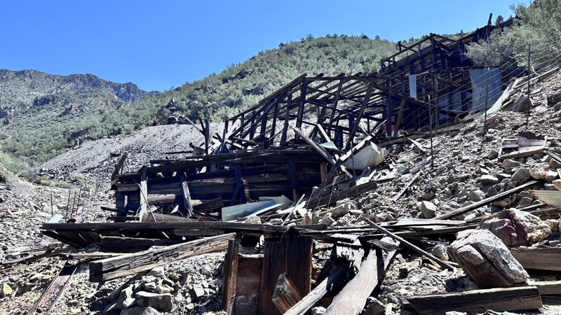
Copper World Mine is a 2.5 mile out-and-back trail that travels along a wash up to the old Copper World Mine. Copper World Mine was a copper/zinc mining operation that was prospected in the early 1900's and was ran by different investors from 1944-1976. The mining tipple (wooden structure for processing ore) is mostly intact, but fenced off due to structural instability. There are several other old structures around the mine to explore. The trail has several sections with minor erosion damage. The last section has a rock garden with large loose rocks.
Updated: 01/05/2026
1039
Mount Trumbull, Arizona
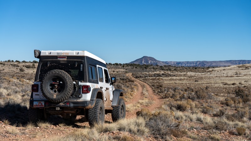
BLM route1039 connects Main Street to County Road 103 and offers a more rugged alternative, cutting off roughly 20 miles of graded, maintained roads. From Main Street, the route begins on private property and heads southwest through Sevvy Draw for several miles. Free-roam cattle are common in this section, so use caution. Views here are limited, as the road follows a wide, mellow draw.
Farther along, the road enters the Grand Canyon–Parashant National Monument, where dense sagebrush lines much of the route. The surface varies from smooth and easy to follow to a true two-track with mud, embedded rock, and uneven ruts that require high clearance but remain non-technical.
The landscape is generally abundant with camping opportunities throughout portions of the route, featuring flat, open spots scattered along the way, although few are pre-disturbed or established.
Updated: 05/01/2026
Cattle Corral Sideburn
Roosevelt, Arizona
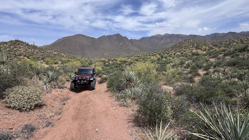
This hard-packed dirt trail branches off the historic Apache Trail and offers a unique look into Arizona’s ranching heritage. Early into the trail, you’ll pass a distinctive cattle corral built with an uncommon metal design. An interesting reminder of the area’s long-standing ranching operations.
As the trail continues, you’ll encounter several wildlife and cattle water troughs that serve as vital resources in this desert environment. Because of their importance, camping is not permitted along the trail or within a quarter mile of one of these water sources. Be mindful of livestock and wildlife that may be present in the area.
The trail remains mostly smooth until the final section, where a moderately steep hill climb presents the most challenging obstacle of the trail. This climb leads to a small hilltop that rewards you with views into the Superstition Wilderness. While relatively short, this trail combines history and a scenic payoff into a well-rounded off-road experience.
Updated: 06/10/2026
Gilbert Canyon Road
Bonelli Landing, Arizona
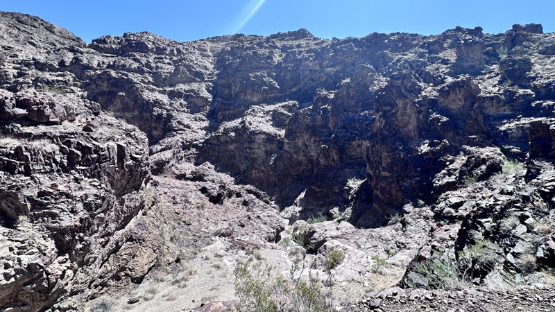
Gilbert Canyon Road is a 4-mile out-and-back trail that travels down a wash that narrows as it gets closer to Lake Mead and ends at a large rock waterfall. The rock walls of this canyon are full of limestone, granite, schist, and gneiss that date back over 1 billion years. This trail is a great side trip while traveling the Cohenour Loop Road. The trail is mostly a rough dirt road; there is one section that has 3 small ledges under 12" in height to negotiate. The end of the trail is a great place to camp.
Updated: 07/22/2026
Aquarius Mountains
Wikieup, Arizona
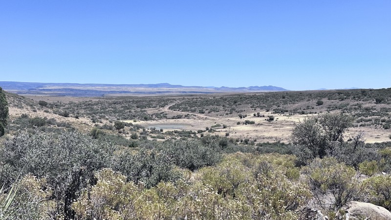
The Aquarius Mountains trail is a 25-mile point-to-point trail that climbs into the Aquarius Mountains and traverses the east side of the mountain range. If you are starting from Bogles Ranch Road, you will pass Francis Creek Ranch, follow the signs for sportsmen, and ensure you close all gates passed through. Be respectful, a large portion of this trail passes through active livestock grazing land. The trail through the grazing area is rough with small rocks and light erosion damage. The remainder of the trail is a maintained county road. The
Aquarius Mountains trail provides ample expansive views of the high plains. Views of the Prescott National Forest can be seen in the distance. On the southern portion of the trail, one can see the Bagdad Mine, a large open-pit copper mine.
Camping can be found on the southern portion of this trail.
Updated: 07/02/2026
FR 752
Mead Ranch, Arizona
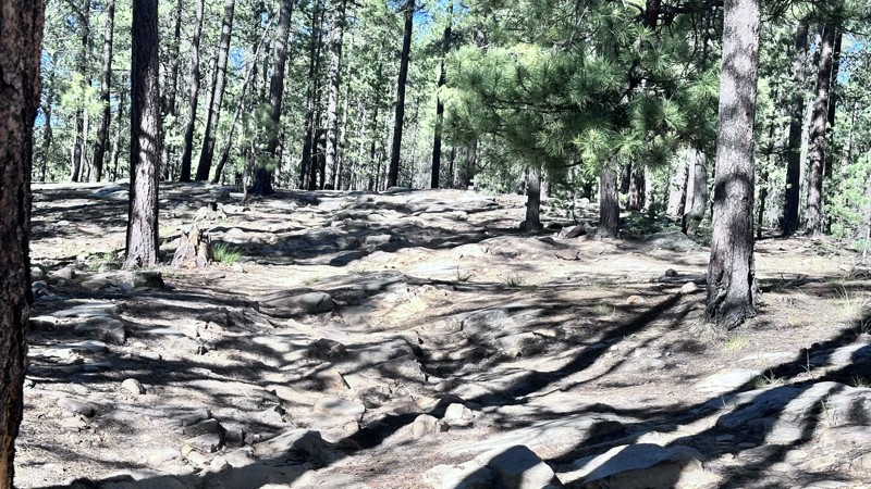
FR 752 is a short 5 mile out-and-back trail that ends at a point overlooking Knoll Lake. The first half of the trail is easy with only small rocks to negotiate. The second half of the trail becomes more difficult with larger rocks on the trail to negotiate. There is an optional obstacle on this trail with 3 ledges approximately 18 to 24 inches in height. Multiple camping sites can be found along this trail.
Updated: 08/26/2026
Bear Head Spring
Aztec Lodge, Arizona
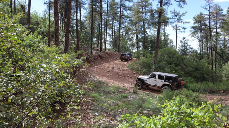
Whether you’re going up or down Bear Head Spring, the drive has numerous opportunities to enjoy Mother Nature during all four seasons. The trail follows a section of the Tonto Discovery Trail, a 500-plus-mile OHV route that spans all regions of the Tonto National Forest. The western portion of Bear Head Spring begins in the desert before winding up along steep, narrow ledges with large rockfall and blind washouts. Once above 6,000 feet, the tall pines help cool down the summer heat. The trail has a large natural cave located right off the trail at 33.93900, -111.08807.
The trail is ideal for beginners, stock-type 4x4s, and high-clearance vehicles with durable tires. There is abundant camping near both trailheads, and less in the middle section, while driving through the trees. It’s quiet, remote camping, with a couple of campsites that can accommodate 4-5 vehicles or camper trailers.
Updated: 02/09/2026
Sullivan Draw
Rock Crossing, Arizona
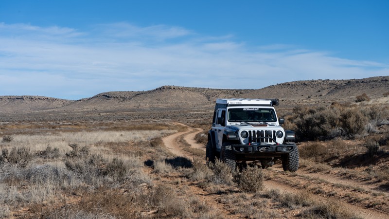
Sullivan Draw, on its northern end, begins just off of the graded Main Street and is one of several options for traveling deeper into the Arizona Strip and Grand Canyon–Parashant National Monument. The route runs generally north-south through a broad drainage and eventually connects to BLM 1039 at its southern end.
This is a classic two-track through grassy sage-land and suitable for almost any high-clearance vehicle, with no technical obstacles to speak of. Expect to encounter free-range cattle along the way, along with occasional shallow dips, bumps, and uneven stretches. Because the road follows a wide, mellow draw, most views are of the surrounding hills scattered with pinyon.
There are a handful of pre-disturbed campsites along the route, many of which offer partial shade from pinyon trees. The ground tends to be rocky at most of these sites, so come prepared with appropriate gear if you plan to camp.
Updated: 06/10/2026
O'Leary Peak Plateau
Timberline-Fernwood, Arizona
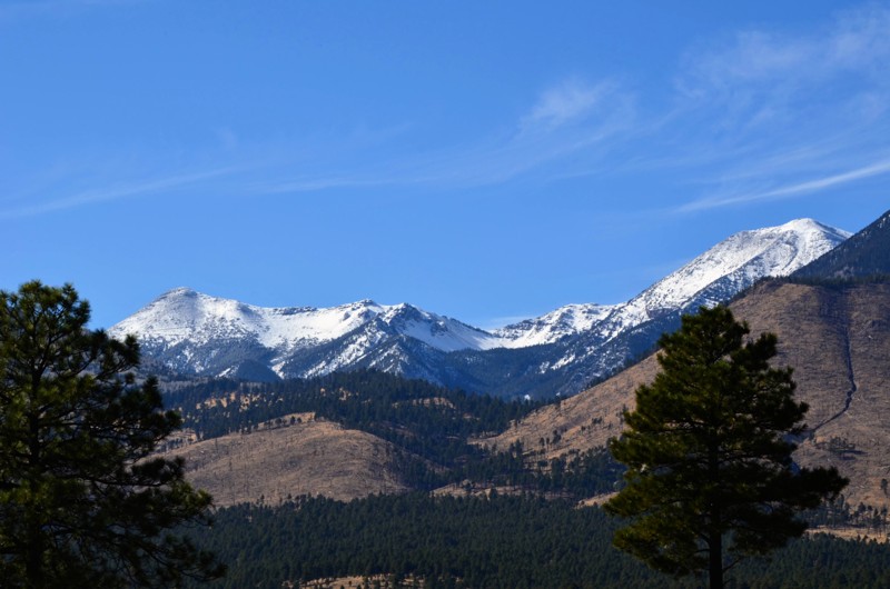
FR9124C is very scenic, with views of the San Francisco Peaks and O'Leary Peak. It is little-used and quiet and presents some opportunities for dispersed camping along the road and side spurs. It also provides the best access to mountain biking and hiking opportunities up the north side of O'Leary Peak. There are a couple of tight spots in rough shape that will be hard to pass without a real 4x4. Don't bring a big or fragile vehicle up here.
Updated: 06/10/2026
Pope Mine Road
Bonelli Landing, Arizona
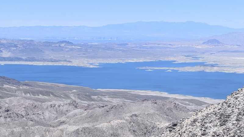
Pope Mine Road is a short 4-mile out-and-back side trail when running the Cohenour Loop trail. The trail climbs up Indian Pass and ends with a spectacular view of Lake Mead and Las Vegas. Pope Mine Road is a maintained dirt road with minimal erosion damage. The final ascent to Indian Pass may require 4WD to negotiate.
Updated: 09/18/2026
Lehman Mill
Paxton Place, Arizona
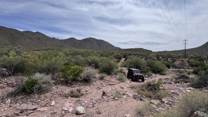
The trail to Lehman Mill is a tough technical two-track that is steep, rocky, rutted, and off-camber in places, with brush crowding the sides. The trail has many twists and turns and climbs steep hills from 3,300 feet to over 4,500 feet. A high-clearance, well equipped 4x4 is required. Jeeps are fine, as long as you’re not worried about pinstripes, but full-size vehicles are not recommended due to the narrow track shelf road. The trail sees almost no traffic, and demands careful tire placement the whole way. Please don’t go alone.
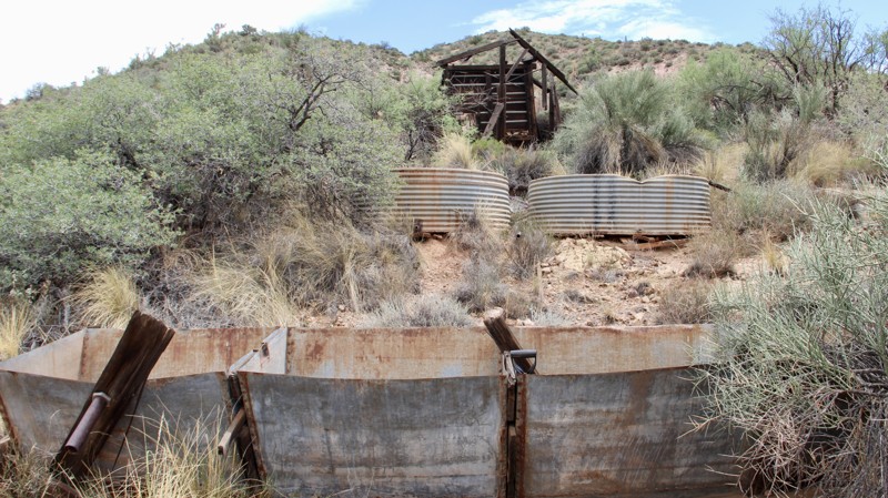
When you reach the windmill and small corral at Copperopolis Creek, you’ll find a trail that goes south toward the remains of the 1930s Lehman Mill. It was built by Gus Lehman and Charles Champie, to process copper and gold ore from nearby claims. A large boiler still sits in its concrete pad, along with circular cisterns, scattered machinery, foundations, and a surprisingly intact wooden headframe/ore chute. The mill structure itself is mostly collapsed, but enough remains to clearly show the layout of this short-lived operation. The trail is even more narrow and overgrown, so hiking the 0.2 miles is recommended.
This trail is a rewarding destination for those willing to earn it. It is quiet, rarely visited, and a solid piece of Castle Creek Mining District history. Bring recovery gear, extra water, and leave the site as you found it. The corral provides room for camping, and includes an old fire ring.
Updated: 05/01/2026
Burnt Corral Loop
Roosevelt, Arizona
This short loop trail begins and ends off the Apache Trail, offering a quick break from the pavement. Primarily used for power line access, the route is mostly hard-packed dirt with a few rocky wash crossings to keep things interesting.
The scenery is limited, but it’s an easy way to explore just off the main road. The trail crosses ranch land, so watch for cattle and be sure to leave any gates as you found them or as posted. There are no designated camping areas along this trail.
Updated: 08/11/2026
Bradshaw's Grave
Paxton Place, Arizona
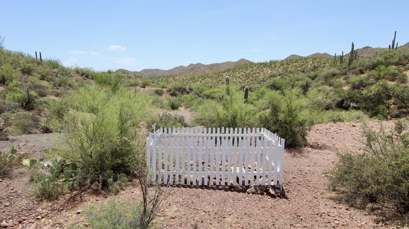
Isaac Bradshaw (c. 1819–1885), known as “Uncle Ike,” was an Arizona Territory pioneer whose name is linked to the Bradshaw Mountains. Born in North Carolina, he left his family in California around 1863 to join his brother William in operating a ferry on the Colorado River near La Paz. After William’s death, Isaac sold the ferry in 1867 and turned to mining in Yavapai County, helping develop the Copper Basin mines and the short-lived boomtown of Bradshaw City. He later prospected in the Castle Creek area, where he died of pneumonia and was buried at a remote site near Bradshaw Spring.
This scenic desert run begins in a smooth, sandy wash that quickly funnels into a narrow canyon, offering a non-technical and enjoyable start with firm traction in dry conditions. The canyon walls close in just enough to create a sense of seclusion while still allowing comfortable passage for most high-clearance 4x4 vehicles. After leaving the wash, the trail firms up and becomes moderately more broken, with several minor washouts and ruts that require basic line selection but nothing overly technical.
The surrounding landscape is pure Sonoran Desert at its best—towering saguaros stand watch over thick stands of palo verde, ocotillo, mesquite, and prickly pear. A handful of dispersed campsites appear along the route, making it easy to turn the drive into a quiet overnight stop. The trail ends at the historic gravesite of Isaac Bradshaw, a peaceful plateau that makes a natural turnaround or staging point for those continuing farther into the mountains.
Updated: 04/22/2026
Sheep Springs Pit
Munds Park, Arizona
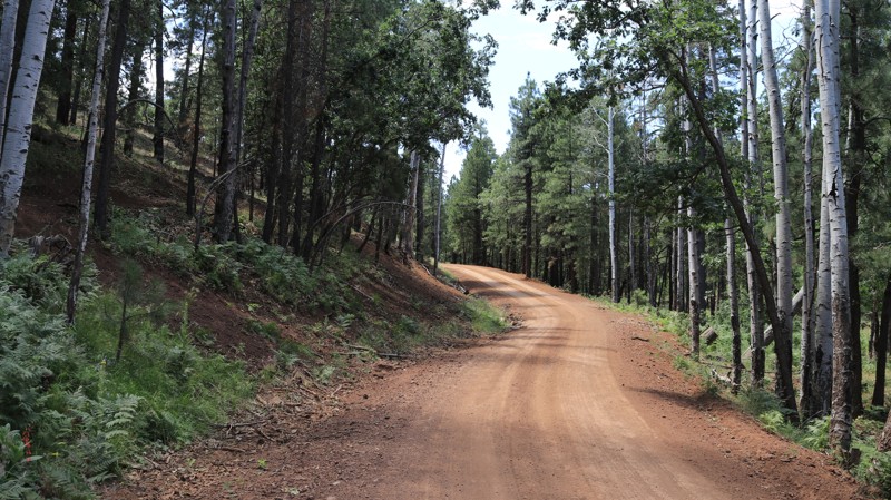
FR 91B is a short but scenic loop in the Coconino National Forest near Sheep Springs, wrapping around a 7,600-foot butte and climbing quickly through a mix of high desert terrain and quaking aspen groves. Beginning just off FR 91, the trail gains about 300 feet in elevation over a half mile, offering a quick transition from open forest to cooler, shaded stands of aspens where wildlife sightings are common, especially near the perennial water source at Sheep Springs. The road surface is primarily hard-packed dirt and gravel, making it suitable for most vehicles, though the climb and occasional loose sections keep things interesting. A spur leads toward a gravel pit where soft slopes attract local ATV use, but the main loop remains straightforward and easy to navigate. While camping isn’t available directly on FR 91B, numerous dispersed sites can be found nearby along connecting forest roads, making this a great quick detour or add-on to a longer forest exploration.
Updated: 05/01/2026
3708
Tortilla Flat, Arizona
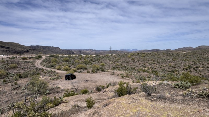
3708 is a short spur branching from the Apache Trail. It is a graded dirt-and-bedrock trail with two campsites. The campsites are on a hard rock base and are not fully level. There is an old corral at the beginning of the trail with a large open area. This could serve as a staging area for trailers or a meeting point for groups planning to travel the dirt stretch of the Apache Trail.
Updated: 06/29/2026
Raw Deal
New River, Arizona
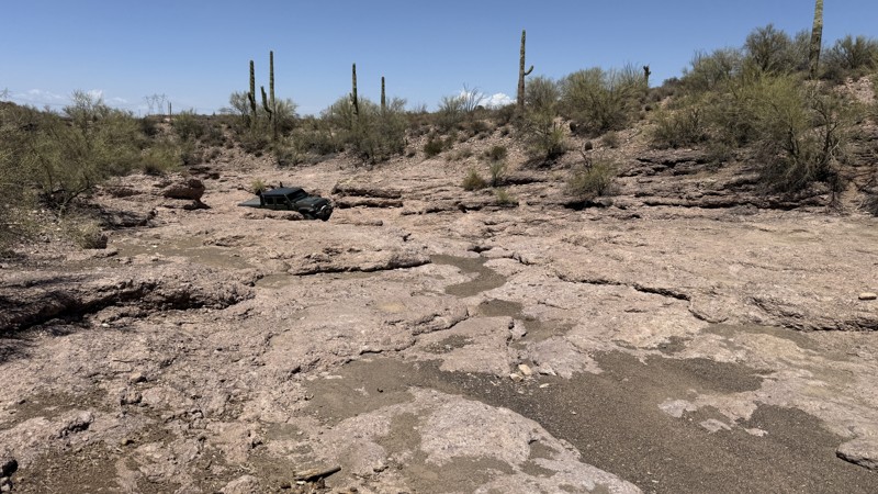
Raw Deal is an adventurous desert trail that winds through the rugged landscapes of Arizona State Trust Land, challenging off-road enthusiasts with a variety of terrain and obstacles. The route follows a sandy wash lined with towering saguaro cacti before leading into a natural rock playground filled with multiple rock obstacles that allow drivers to choose their own level of difficulty. Lifted vehicles, equipped with at least one locker, are highly recommended to tackle the tougher sections and make the most of the trail's technical features. Although the trail eventually reaches a dead end, the journey itself is packed with excitement, offering plenty of opportunities to test both vehicle and driver skills. Camping is permitted along the trail, though there are no established campsites, making it an ideal destination for those seeking a more primitive desert experience. At the end, turn around and have fun going back the way you came in.
Updated: 08/11/2026
Buzzard Roost
Paxton Place, Arizona
Just west of Bradshaw’s Grave, this trail immediately steps up in difficulty and character. What was previously low moderate terrain gives way to steeper hills, off-camber ruts, and a series of small ledges and steps that demand careful throttle control and good tire placement. Softball- to basketball-size rocks litter the path in places, adding a steady dose of articulation challenges, while a handful of tight switchbacks keep the pace deliberate and the views constantly changing. It will push the limits of stock high clearance 4x4's, and beginners will find it difficult.
The same classic Sonoran Desert scenery continues—saguaros, palo verde, ocotillo, mesquite, and prickly pear—now set against more dramatic elevation changes and open ridgelines. About half way down the trail, you will find a fenced in riparian area on Buzzard Roost Creek, that is closed from March 1st to October 31st. Hiking down to the bottom, in the open months, would add another level of adventure. Overall, Buzzard Roost is a high moderate run that rewards drivers with a few technical sections and expansive desert vistas.
At the south end of the trail is Buckhorn Springs, which will take you to Constellation Road to the west and Castle Hot Springs Road to the east.

Upgrade your Membership
Unlock all of the details on every Trail Guide and Scout Route.
Start a 7-day Free TrialBrowse Trails in Arizona by City
Browse every Arizona city with offroad trail guides.
Community
Partners

