










By clicking "ACCEPT", you agree to be the terms and conditions of each policy linked to above. You also agree to the storing of cookies on your device to facilitate the operation and functionality of our site, enhance and customize your user experience, and to analyze how our site is used.
Utah Off-Road Trails
359
Total Trail Guides 334

4759
Detailed Waypoints 925
Try a Free 7-Day Trial and unlock it all
Start a Free Trial Most Recent Trail Reviews
No Rating
Open
Visited: 09/24/2026
This trail has been graded recently and is now an easy trail.

IE
Ingrid Enyeart
Rated 5/5
Partially Open
Visited: 09/22/2026
The portion of the trail between the fork at 11 and the fork at 13 has two major ledges that have formed going into and out of the wash. Not sure what vehicle could overcome these. So just take the sc...


CI
Christine Irsik
Rated 4/5
Open
Visited: 09/22/2026
We enjoyed this trail and will definitely do it again. Gorgeous views at many points along the trail. We didn’t try The Wall, but everything else was just enough of a challenge for us and nice that m...
LF
Leslie F
No Rating
Open
Visited: 09/22/2026
Drove out here in a thunderstorm after doing dome plateau overlook. Epic camping. peaceful. unparalleled views. trail had two steep rocky sections I used 4wd low but probably didn't need to.

JR
jon ross
No Rating
Open
Visited: 09/21/2026
This is a short 2 mile of so cut off trail. Has a wash out with a by pass half way through.



Earl Neisler
Earl Neisler
Rated 2/5
Open
Visited: 09/21/2026
Pinstripe Alley nonstop for the first 4 miles. INo view to be had until waypoint 7. It was a beautiful view then we turned around. Should’ve read the reviews before we started the trail, because th...
LF
Leslie F
Rated 5/5
Open
Visited: 09/21/2026
This is a highlight for the trip. We stayed at waypoint10 for the night.


Earl Neisler
Rated 4/5
Open
Visited: 09/21/2026
Nice connector. The short out back was the hardest and not that short.


Earl Neisler
Rated 4/5
Open
Visited: 09/21/2026
A well maintained road. Found a nice camp site on the south in.
Earl Neisler

Jesse Martin
Jesse Martin
Rated 5/5
Open
Visited: 09/20/2026
Great area to go camping and gather for family reunions. There are multiple other trails that fork off throughout the trail to explore.

Dustin
Earl Neisler
Rated 5/5
Open
Visited: 09/20/2026
Only did apart due to time. This is 1 I will come back and finish.

Earl Neisler
Rated 3/5
Open
Visited: 09/20/2026
Not much to say it a slow easy. A good connecting trail.
Earl Neisler
No Rating
Open
Visited: 09/20/2026
We started just south of Cottonwood Canyon. We stop and looked but could not fine the rock art. The area was a nice to see all the green.


Earl Neisler
Rated 4/5
Open
Visited: 09/19/2026
Great trail, we drove through waypoints 24-35. Easy ride with a good amount of mud holes with few ruts on the stretch we drove. Would love to complete the whole trail at a later date.
Dustin
Rated 4/5
Open
Visited: 09/19/2026
Fun easy trail. Great way to get out and enjoy a relaxing trail ride to take in nature and see the fall colors.
Dustin
Rated 5/5
Open
Visited: 09/19/2026
Great Trail! The scenery was good with lots of wildlife. The trail was diverse that give drivers the opportunity to use both high and low four wheel drive. Trail has both wide and narrow areas.
Dustin
Rated 5/5
Open
Visited: 09/18/2026
I run this trail every year. Always fun and beautiful views. Fair amount of off camber sections.

Jeff Klaassen
Rated 5/5
Open
Visited: 09/18/2026
This was a good trail. The trail still had so flood damage but was passable. Highly recommended this. Has some all some view. We took 2 day to enjoy the ride and views.


Earl Neisler
No Rating
Open
Visited: 09/16/2026
Very fun, short trail. We did the loop but not Wipeout Hill. The sandy sections were a blast and there were a few ledges and obstacles that probably warrant a 5 but are still a fun challenge. We did i...



Mark Signorelli
Rated 4/5
Open
Visited: 09/15/2026
Ran this one and it's a decent stretch for anyone with a high clearance 4x4. The early sagebrush section had me watching my GPS track closely since the road nearly disappears a few times, but it alway...



Jay North
Official Crew
Rated 4/5
Open
Visited: 09/15/2026
Ran this as a quick add-on while working through the rest of the Red Hills network, and it's a fun one to knock out in under an hour. The wash crossing is the one spot where you actually have to think...


Jay North
Official Crew
Rated 3/5
Open
Visited: 09/15/2026
Ran this one on a dry afternoon and came away satisfied without being blown away. The rocky, rolling grade keeps things interesting without ever feeling out of reach for a stock high clearance rig, th...


Jay North
Official Crew
Rated 4/5
Open
Visited: 09/15/2026
Ran this one on an afternoon when I didn't have time for a full day out, and it delivered more than I expected for a short climb. The hill about a mile in makes you actually think about your line, and...


Jay North
Official Crew
Rated 4/5
Open
Visited: 09/13/2026
Red Peak Road is a short, easy cruise that's mostly smooth dirt with just enough texture to keep it interesting. There's a mild rough patch early on and a slightly rockier stretch past the halfway poi...


Jay North
Official Crew
Rated 2/5
Open
Visited: 09/13/2026
This is an easy, low-key cruise with a short technical bump right in the middle where it ties into the rest of the network, otherwise it is just packed dirt and gravel the whole way. Nothing here dema...


Jay North
Official Crew
Rated 4/5
Open
Visited: 09/13/2026
This one's an easy, mellow cruiser and it shows in how quick it feels behind the wheel. The rocky spots near the start and about two thirds up are barely worth mentioning, just some careful tire place...


Jay North
Official Crew
Rated 5/5
Open
Visited: 09/13/2026
This one's a fun add-on if you're already out in the area, easy enough for most of the way that a stock rig won't break a sweat, with just a couple of hard spots to keep things interesting. The washou...


Jay North
Official Crew
Rated 4/5
Open
Visited: 09/13/2026
A nice view of Kanab. Steepish and possibly slick when muddy. One spot has a small rock shelf. 4x4 recommended.


Ben Ruddell
Official Crew
Rated 3/5
Open
Visited: 09/13/2026
Easy, suitable for high clearance 2WD on a dry day, though four wheel drive earns its keep if the ground's been wet. The ruts along the way are mild and easy to place your tires around, and the two wa...


Jay North
Official Crew
No Rating
Open
Visited: 09/12/2026
Crazy no reviews since I ran it last May. We ran it again this time the whole trail out to the south overlook. It had rained the night before and into the morning. The rock dried up quick but a lot o...



Andrew Hotton
Rated 5/5
Open
Visited: 09/12/2026
Sand dunes. DANGER, you need to know your technique to head in here. It’s easy to misjudge slope and camber and get stuck or worse roll.


Ben Ruddell
Official Crew
Rated 3/5
Open
Visited: 09/12/2026
The section of the trail was rocky and rough - still fairly easy but the rockiest stretch.
WF
Wyatt Frampton
Rated 4/5
Open
Visited: 09/12/2026
This trail checks so, so many of the boxes -- hanging off a cliff, passing within 4" of rocks on BOTH sides at the same time on narrow sections, meaningful obstacles (ledges) where I smacked my hitch ...
IR
Isaac R
Rated 3/5
Open
Visited: 09/12/2026
This is an easy, high clearance 2WD road, easy enough that the drive itself isn't the draw. The shelf road stretch is mild and only about two jeeps wide, so keep an eye out for oncoming traffic, and t...


Jay North
Official Crew
Rated 2/5
Open
Visited: 09/12/2026
This is a mellow, low-stress drive that rewards a relaxed pace more than any technical challenge. Stock high clearance handled every mile without a second thought, and the surface stayed predictable e...


Jay North
Official Crew
Rated 5/5
Open
Visited: 09/11/2026
Great rest quick trail! Perfect for beginners, fun place for a picnic. The entrance and exit terrain to the tunnel changes depending on the weather and use. Very fun and interesting.


Dustin
Rated 4/5
Open
Visited: 09/11/2026
My route didn’t originally include this trail, but one of my crew broke on impossible hill and we had to limp back to civilization. This trail was beautiful and remote. Difficulty wise, no issues on t...



Dewie Jones
Official Crew
Rated 4/5
Open
Visited: 09/10/2026
Way better than I thought it would be. This was simply a connector trail for my unsuccessful (broken Toyota) Blanding to Moab overland trip. The trail is absolutely beautiful, relatively fast access, ...
Dewie Jones
Official Crew
Rated 3/5
Open
Visited: 09/10/2026
Easy enough that I did this road in pitch-black with just headlights (no light bar or anything) on the way to see sunrise from the end of the trail (Hurrah Pass). Really straightforward, just rocky li...
IR
Isaac R
Rated 4/5
Open
Visited: 09/10/2026
Incredibly beautiful road and not really rough at all -- I did a bunch of with fully-inflated tires. I know it's just a connector but honestly I would 100% come out here again to enjoy the views, hang...
IR
Isaac R
Rated 4/5
Temporary Closure
Visited: 09/10/2026
Deep mud around river crossing prevents passage. We came from Goblin Valley side, we were able to cross the river but there was deep mud on south side due to recent rains. Almost got stuck, had to go ...

Thomas A Youngerman
Rated 5/5
Open
Visited: 09/09/2026
Incredible bucket list trail that you must do if you can. DON'T do it in 1 day unless you like rushing it, unfortunately circumstances changed that required us to rush it. It's gorgeous and worth an o...



Sean Allen
Rated 5/5
Open
Visited: 09/09/2026
I built this into our rocklanding/overland route and really enjoyed the adventure. You can tell this isn’t well traveled which added to the experience. With that said, we’re trying to get to Moab from...


Dewie Jones
Official Crew
Thomas A Youngerman
Rated 5/5
Open
Visited: 09/08/2026
Great as always, high rewards in terms of views and nothing crazy in terms of obstacles. Great first trail for someone to do with a great payoff!


Sean Allen
Rated 5/5
Open
Visited: 09/08/2026
Fun trail, would run again. Had lunch between Monitor and Merrimac buttes.


Thomas A Youngerman
Most Popular
Updated: 05/12/2024
Babylon Mills
Leeds, Utah
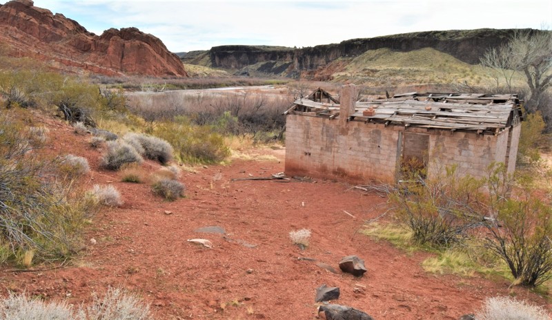
Babylon Mill is located within the Red Cliffs National Conservation Area of Southern Utah. It's an easy and short out & back trail that leads to multiple campsites and hiking trails. The end of the trail is where you can visit the old Stormont Mill site along the sandy shores of the Virgin River. Along the route, you choose from multiple hiking trails that lead to the old Babylon Mill town-site, a natural arch, petroglyphs, and an old cabin that's a very short hike from the 4x4 trail. The area is very scenic, with large red sandstone cliffs and an abundance of wildlife. Large predator birds can often be seen in the area.

Updated: 05/01/2026
Hole in the Rock Road
Escalante, Utah
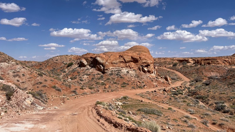
Historic Hole in the Rock Road runs from Scenic Byway 12, ending just above the Colorado River at the geologic feature for which it's named, a steep V-shaped cut in the north wall of the Colorado River's canyon. The famous Zebra and Tunnel slot canyons are just off the road. The geologically unique Devil's Garden and Dance Hall Rock are must-stops along the way. Spur trails lead off into the Glen Canyon Recreation Area with numerous trailheads for hiking into Coyotoe Gulch and to the immense Jacob Hamblin Arch. Left Hand Collet Road climbs westward onto the remote Kaiparowitz Plateau.
Hole in the Rock Road is a historic route. In the autumn of 1879, 250 men, women, and children began one of the Southwest’s most difficult and dramatic pioneer expeditions. Their goal was to establish a settlement on the San Juan River. Their nearly 250-mile trek across virtually unexplored lands resulted in the little town of Bluff. To learn more about the Hole-in-the-Rock Pioneers, visit the Escalante Heritage Center or Bluff Fort. Additional segments of their route include Hole in the Rock Trail, Snow Flat Road, and Comb Ridge.
The northern portion of the road is graded dirt and sand with miles of continuous washboards. The southern part of the trail crosses uneven sandstone slickrock before ending just above the hole in the rock. Be prepared for 2 plus hours of dash rattling washboard. Large tires definitely help on this road. A stock SUV, pickup, or even crossover would have no problem. Clearance is required on the slickrock.
The north end of the trail is a popular boondocking area. While there are ample campsites along the trail, they get farther apart as you head south. A very nice group of sites near Fifty Mile Spring is surrounded by red rock.
Updated: 04/08/2024
Owl Draw
Moab, Utah
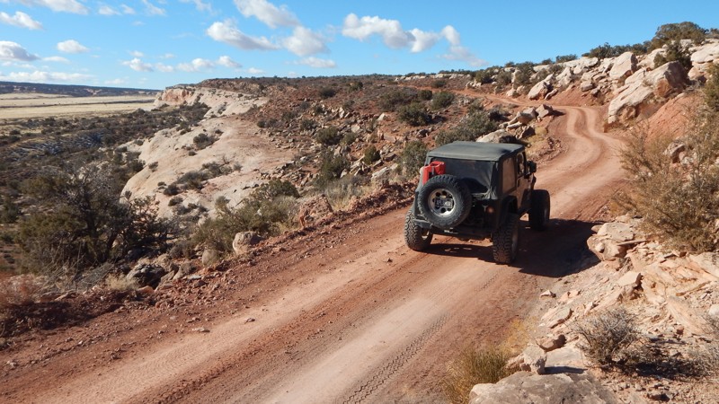
Whether you're beginning or ending your Dome Plateau adventure on this scenic route, you'll enjoy solitude and a bit of history as you traverse a rugged landscape. Owl Draw winds through canyons, over sprawling golden meadows, and along breathtaking sandstone cliffs with views of the La Sal Mountains. Owl Draw is the vital connector for multiple sections of the iconic Dome Platea Loop and is a worthy trail in its own right. The old log cabins tucked up in the rocks are just one of the highlights of this incredible drive.
Updated: 06/08/2026
Where Eagles Dare
Moab, Utah
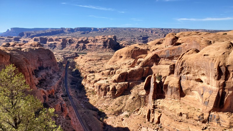
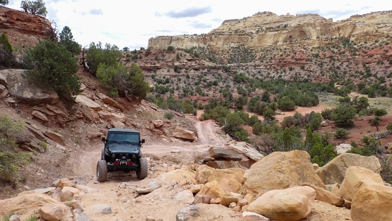
If you are looking for the steepest, longest climbs in all of Moab, Where Eagles Dares is the trail you need to conquer! This trail is a side spur off of Golden Spike and travels entirely along large slickrock fins with constant changes in elevations. This trail gets your attention from the very beginning with several steep uphill climbs and downhill descents on its way to an amazing overlook of Bootlegger Canyon with the Corona Arch and a tiny glimpse of the Colorado River making up the backdrop. Take an optional slow loop around the Where Eagles Dare namesake obstacle and finish off the trip winding your way up and over Phobia Hill before reconnecting with Golden Spike. There is no camping along this trail due to the very steep terrain.

Updated: 03/02/2024
Little Moab/Chimney Rock Pass
Elberta, Utah
The Prospector OHV Backcountry Complex is a network of several hundred miles of trails throughout western Utah. The plans were approved in 2010 to start funding the project to add signs and maps throughout the area. Leg one of this section starts at Utah highway 68 and takes you over to Allen's Ranch Road, also giving access to Little Moab and The Great Wall. This is an easy day trip from Salt Lake City or Provo and can give you some challenges with the spurs offered, or you can plan for the long haul and ride for days throughout this network ending up in Eureka, Vernon, Stockton, or even Dougway. Sometimes, all we need is a dirt road and a full tank of gas.
Updated: 06/12/2024
Eva Conover
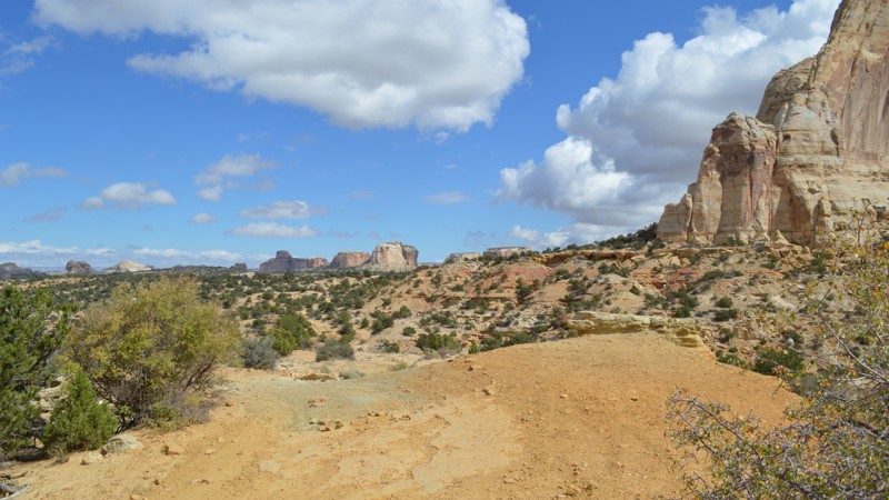
Emery, Utah
Eva Conover provides some of the best views of the Swell, so it is a must-do while you are here! The trail offers a number of fun spots as well as a good change of scenery once you drop into the wash. At many points along the trail, you can overlook miles of the northern region of the San Rafael Swell. Although popular in the three warmer seasons, winter could provide a completely different take on this incredible region, assuming there is not too much snow. Combine this with Eagle Canyon and South Fork of Coal Wash, over to Fixit Pass and Nielsen Dugway for a good loop, or choose one of the hundreds of miles of routes to begin an ultimate overlanding experience through Central Utah.
Updated: 11/04/2025
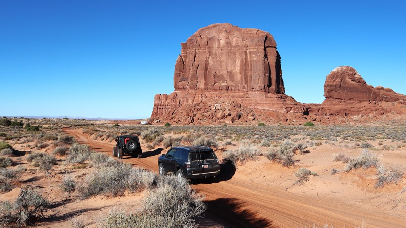
Spring Canyon Point
Crescent Junction, Utah
With backdrops straight out of a western movie, Spring Canyon Point is a wonderful way to escape into Labyrinth Canyon for a night under a Dark Sky. With easy access from Dubinky Well Road, the trail begins along blowing red sands with distant views of Tombstone Butte. At the base of the red tower, you will find numerous campfire rings and a large fenced area for parking. Continuing west, the distant views of buttes and towers amaze as you climb above the colorful landscape. Once out onto the point, creating a thumb into the Labyrinth Canyon Wilderness, the views down into the canyon are breathtaking as you creep up to the edge. Use caution, closely watch children and pets along the cliff edge. The trail is ideal for overland groups or individuals seeking to escape the Moab crowds.
Updated: 06/25/2023
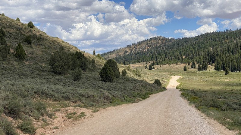
East Fork of the Sevier River Scenic Backway (Forest Service Road 087)
Bryce Canyon City, Utah
Situated near Bryce Canyon City, the East Fork of the Sevier River Scenic Backway stretches south for 17 miles along the edge of Bryce Canyon National Park before arriving at Tropic Reservoir, a great place on hot days that offers trout fishing, a boat ramp, picnicking, and camping. In addition, the road connects you to several other four-wheel drive roads and possible routes. A great place for horseback riding, snowmobiling, ATV/UTV activities, and plenty of Ponderosa Pine and Aspen viewing. This area lets you witness the off the beaten path hoodoos and pinkish colored rocks that Bryce Canyon National Park is known for.
Updated: 06/15/2024
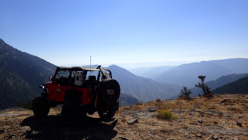
Millville Canyon
Millville, Utah
Incredible sights and endless camping are just a few of the features of this beautiful off-road trail near Logan, Utah. Situated within the Bear River Mountain Range, this trail will wind you up from the city of Millville, past Logan Peak, and over to a large network of trails including Providence Canyon, Temple Canyon, and Old Ephraim's Grave. Whether you are hunting, escaping the heat of the city, or just looking for a nice relaxing day, Millville Canyon gives you access to it all. As you make your way up to Logan Peak, you are kept in shade ascending through the trees. There are a number of viewpoints from which you can look west down over Millville, or east over Blacksmith Fork Canyon. After you pass Logan Peak, you are near the center of this mountain range and can choose a number of trails to run. With access to popular hunting areas, it is sure to be busy from the start of the fall season until the first snow. Cold temperatures and high elevation make this trail accessible only 6 months of the year, but this gorgeous trail is well worth the drive.
Updated: 07/17/2024
Left Fork Hobble Creek
Springville, Utah
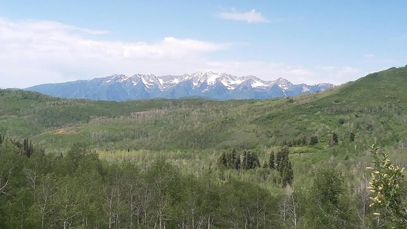
FS Road 132 traverses a segment of the Uinta National Forest between the Wasatch Mountains and Strawberry Reservoir. It climbs steadily to its mid-point, immersing the overland traveler in Aspen and Pine forest with the smell of fresh mountain air and the pleasing sound of bubbling creeks There are frequent breaks among the trees, opening fantastic views to the south and west of snow-capped Wasatch peaks, including Spanish Fork Peak, Provo Peak, and Mount Timpanogos.
Updated: 05/21/2024
Left Hand Collet Road
Escalante, Utah
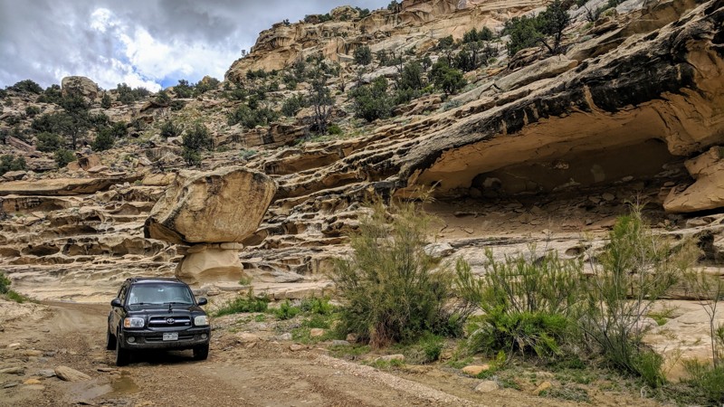
Left Hand Collet Road is situated in the Carcass Canyon Wilderness Study area just north of Grand Staircase - Escalante National Monument. It is a BLM road that connects the town of Escalante, Utah to other roads in the area, such as Smoky Mountain Road and Croton Road. It is an absolute must do in the area if you like wash driving and interesting rock formations. The rock formations around here are simply stunning. You could spend all day slowly navigating the wash in awe as the immediate scenery is amazing. There is a bit of camping at the northern end of this trail, and the camping looks incredible as well with stunning backdrops of the Grand Staircase - Escalante area to the southwest.
Updated: 01/23/2024
Deadman Point Road
Moab, Utah
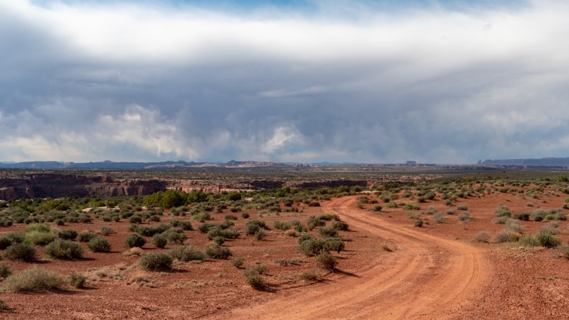
Located a bit off the beaten path lies this gem of a trail. About 45 minutes north of Moab, Utah, Deadman Point used to have quite the ending until the final few miles of trail was closed in 2023. This trail has your typical Moab type scenery with sagebrush and sand, but it's the views that make this all worth it. After a long day out exploring, the distant views help relax the soul. This area is also very popular for camping and you could easily make a weekend exploring all of the trails out in this region. If you are up for the final 3/4 mile-long hike, the overlook view is worth the effort.
Updated: 03/24/2026
Four Arches Canyon
Moab, Utah
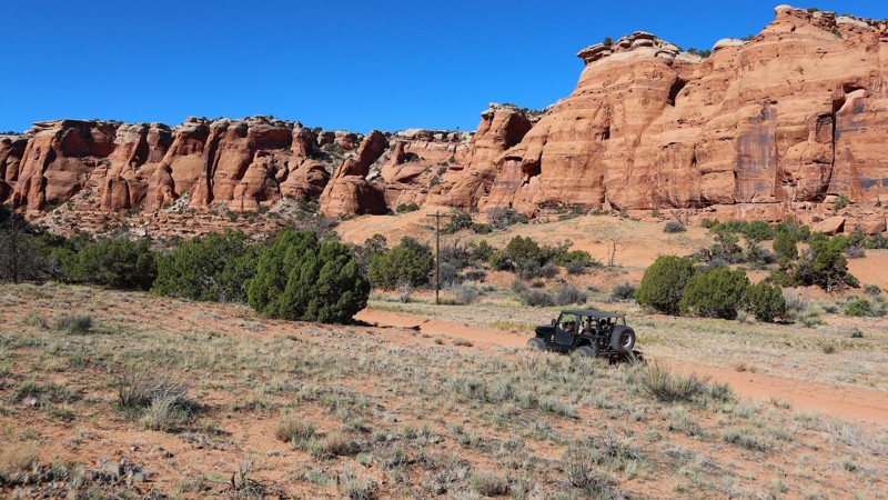
"Keep going, it just gets better" aptly describes the experience in Four Arches Canyon. An excellent addition to Gemini Bridges, this scenic 2.5-mile trail takes about an hour and can be enjoyed by most stock-type 4x4 owners. Following almost invisible telephone lines, the trail winds through a vertical-walled canyon with narrow finger spires pointing to the sky. Include Four Arches Canyon on your next Moab day trip, because finding the four arches is a challenge left for each visitor.
Updated: 08/20/2024
North Skyline Drive
Spanish Fork, Utah
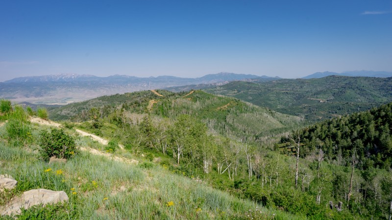
Perhaps one of the most well-known scenic trails in the state of Utah, Skyline Drive is a breathtaking drive through the Manti-La Sal National Forest as you encounter incredible sights up to an elevation of almost 11,000 feet. With a history dating back to the 1800s, this is a very popular trail due to its proximity to town and offerings of many outdoor activities like incredible camping, miles of OHV trails, lakes, hikes, and views. Electric Lake and Scofield Reservoir are full of very hungry Brown, Rainbow, and Cutthroat trout. Fish Creek National Recreation Trail is a popular hiking and equestrian trail taking you from Skyline Drive down to Scofield Reservoir. Camping is plentiful along this trail, and it makes for a great place to get away and spend your nights under the stars. Whether you want to camp, fish, or hike, bring the family along and explore the endless options along Skyline Drive.
Updated: 07/06/2023
Lonesome Beaver
Hanksville, Utah
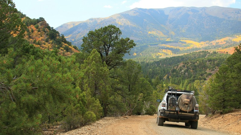
Lonesome Beaver serves as the northern gateway into the ruggedly beautiful Henry Mountains. The trail traverses three ecosystems. It begins in the high desert with its sparse vegetation and sandstone buttes. The road climbs into chaparral dominated by junipers and pinion pines. At higher elevations, the trail is bordered by an alpine forest of pine, spruce, fir, and aspens. Small streams and springs provide water for wildlife, including deer, bears, turkeys, and mountain lions. The Henry Mountains, named for the first secretary of the Smithsonian Institution, was the last mountain range to be added to the map of the 48 contiguous States. They loom tall and gray above the trail. Made of igneous minerals that extruded through the surrounding sandstone sediments, the mountains range from 23 to 31 million years old. The western slope of the Henrys host one of only three genetically pure herds of buffalo left in the United States. Kept at an optimal 350 head, additional buffalo above the 350 are sent to replenish the breeding base of other herds. Visitors keep a sharp eye out in hopes of spotting the herd but are more likely to spot a few of the dense population of deer that inhabit the mountain range. The Henry Mountains are one of the less-visited parts of southern Utah, an area that attracts a lot of visitors and adventurers. If you are looking for Utah beauty without the crowds, taking Lonesome Beaver up into the Henrys might be just the ticket.
Updated: 05/27/2024
Mineral Point
Moab, Utah
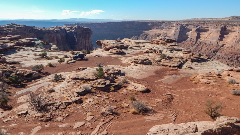
After crossing the rugged and remote desert to reach Mineral Point, you're rewarded with breathtaking views of the Green River winding through Labyrinth Canyon. A textbook example of water's power, Labyrinth Canyon was carved over millions of years by one of the last wild rivers in the United States. Deep into the canyons visible to the south along the trail are ghostly silhouettes of the buttes and towers within Canyonlands. Long stretches across tall grassy meadows help break up the slow, bumpy sections. One final ledge must be conquered to reach one of nature's true wonders. Or you can simply park and walk the final quarter mile to this amazing overlook.

Updated: 11/07/2023
Long Valley
Saint George, Utah
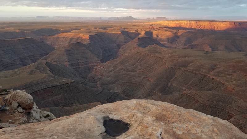
Located below the west rim of the Sand Hollow OHV area, Long Valley is a very popular area for free camping and easy access to the trails on Sand Mountain. On most weekends, the trailhead area is covered with large RVs and toy haulers. Sometimes the campers travel quite far into the canyon looking for a primitive campsite. The campers use the picturesque valley as a base camp for riding on the dunes or rock crawling the trails around Sand Hollow. This route connects with two prevalent 4x4 routes that climb up Sand Mountain. The first of these trails is Fault Line, a challenging trail for modified vehicles. The second and much safer way up is on the West Rim Lite trail. Running all the way through Long Valley will bring you over to scenic Warner Valley and many other easy trails in the region.
Updated: 05/23/2024
Muley Point
Mexican Hat, Utah
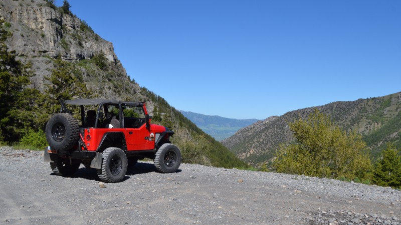
Muley Point is a dramatic vista that offers unparalleled views of the San Juan River Valley and its iconic Gooseneck formations. Sitting 2000 feet above the San Juan and 1000 feet above John's Canyon Trail, there is much to see in almost any direction. Even the monoliths of Monument Valley Tribal Park are seen in the distance to the south. Watch out for the edge! There are no railings to keep kids and pets back.
Updated: 07/01/2024
Providence Canyon
Providence, Utah
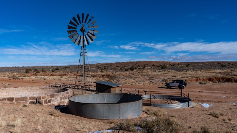
Tucked away from the big cities lies this rough little gem of a trail. This trail winds its way through the Cache National Forest just outside of Logan, Utah. Although easy up to the mine, this trail quickly turns into a challenge for any stock 4-wheel drive vehicle. Steep climbs and loose rocks make it a bit more fun. There are many stunning views along this trail along with great camping, hiking, and even target shooting. If you are looking for a quick day getaway from the city, or a weekend of fun, be sure to check this one out!
Updated: 10/22/2023
Dubinky Well Road
Moab, Utah
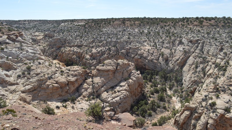
One would think that a trail with a name like Dubinky would be based on a family name. But that is not the case with Dubinky Well Road. The term originates from two brothers, Red and Dubinky Anderson. The story gets murkier because it is unknown if "Dubinky" was Dubinky's given first name or if it came from the rumored story of running from a ghost. Storytellers say he was so scared it caused him to run ten miles to what was to become Dubinky Ranch. Either way, Dubinky Well Road near Moab is steeped in ranching history, and the well itself was once grand central for those seeking water. Today, it provides easy access to several more famous roads, beautiful views of the La Sal Mountains to the southeast, and the longest cliff line in the world, the Book Cliffs, to the north.
Updated: 10/15/2024
BLM626
Lawrence, Utah
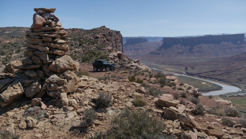
This little jaunt takes you from Calf Canyon Overlook, across a very straight and flat section, and into a winding little trail along one of the many side canyons shooting off from Buckhorn Wash. Although not a destination trail itself, it provides some solitude from the more well-known areas of the San Rafael Swell and good camping opportunities.
Updated: 05/20/2026
Dry Mesa
Castle Valley, Utah
Dry Mesa is tucked far back in the Arches National Park, next to a popular hiking trailhead. You literally drive over the sidewalk into the colorful Cache Valley Canyon and quickly enter BLM land. Once out of the park, you wind through a rocky wash as the canyon walls become taller. After a few mild rocky climbs, the imposing Limousine Hill looms ahead. It looks like it goes on forever. This hill is steep and very challenging. The dirt is loose, the rock ledges are many, and did I mention it was steep? The minimum needed is 33s, lockers front and rear, and nerves of steel.
Once you reach the summit, take a few breaths, and decide which way to run the loop around Dry Mesa. The trail loops around to several overlooks, each with its own unique view of the Colorado River far below. The challenges on top are mild compared to what you had to go through to get up there. There's camping at a few of the overlooks, but the winds can be quite strong and relentless.
Updated: 05/04/2024
Elk Ridge
Monticello, Utah
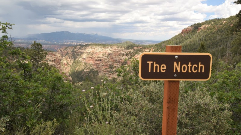
The Manti-La Sal National Forest in central Utah has some of the most diverse terrains in the southwestern United States. One moment you will be in the red rocks of the desert, and almost magically you're in the pines and aspens of the mountains. Elk Ridge is an overlanders dream that travels through dense forest with sporadic views of the canyons within the Dark Canyon Wilderness area. The trail is remote, the camping is primitive and the nights are tranquil. The only sounds you're likely to hear, are the bugles of elk.
Updated: 05/13/2025
Fixit Pass
Ferron, Utah
While standing at Fixit Pass, take a moment to absorb the breathtaking scenery and congratulate yourself for safely climbing the trail's notable narrow shelf road. The towering white buttes are abundant along the entire route. Using your imagination, the rocky spires create different shapes as you travel past. There are praying hands, a dinosaur, and deep indentations in the white sandstone cliffs. Fixit Pass is required but an excellent addition when connecting with North Fork of Coal Wash, Nielsen Dugway, or Cane Wash.

Upgrade your Membership
Unlock all of the details on every Trail Guide and Scout Route.
Start a 7-day Free TrialBrowse Trails in Utah by City
Browse every Utah city with offroad trail guides.
Community
Partners

