










By clicking "ACCEPT", you agree to be the terms and conditions of each policy linked to above. You also agree to the storing of cookies on your device to facilitate the operation and functionality of our site, enhance and customize your user experience, and to analyze how our site is used.
Utah Off-Road Trails
359
Total Trail Guides 334

4759
Detailed Waypoints 925
Try a Free 7-Day Trial and unlock it all
Start a Free Trial Most Recent Trail Reviews
Rated 5/5
Open
Visited: 09/25/2026
We drove this top to bottom in a 2025 Tundra on 34s. No real obstacles, just rough and steep.

SS
Sebastian S.
P
Peaks&Pixels
No Rating
Open
Visited: 09/24/2026
This trail has been graded recently and is now an easy trail.
IE
Ingrid Enyeart
Rated 5/5
Partially Open
Visited: 09/22/2026
The portion of the trail between the fork at 11 and the fork at 13 has two major ledges that have formed going into and out of the wash. Not sure what vehicle could overcome these. So just take the sc...


CI
Christine Irsik
Rated 4/5
Open
Visited: 09/22/2026
We enjoyed this trail and will definitely do it again. Gorgeous views at many points along the trail. We didn’t try The Wall, but everything else was just enough of a challenge for us and nice that m...
LF
Leslie F
No Rating
Open
Visited: 09/22/2026
Drove out here in a thunderstorm after doing dome plateau overlook. Epic camping. peaceful. unparalleled views. trail had two steep rocky sections I used 4wd low but probably didn't need to.

JR
jon ross
No Rating
Open
Visited: 09/21/2026
This is a short 2 mile of so cut off trail. Has a wash out with a by pass half way through.



Earl Neisler
Earl Neisler
Rated 2/5
Open
Visited: 09/21/2026
Pinstripe Alley nonstop for the first 4 miles. INo view to be had until waypoint 7. It was a beautiful view then we turned around. Should’ve read the reviews before we started the trail, because th...
LF
Leslie F
Rated 5/5
Open
Visited: 09/21/2026
This is a highlight for the trip. We stayed at waypoint10 for the night.


Earl Neisler
Rated 4/5
Open
Visited: 09/21/2026
Nice connector. The short out back was the hardest and not that short.


Earl Neisler
Rated 4/5
Open
Visited: 09/21/2026
A well maintained road. Found a nice camp site on the south in.
Earl Neisler

Jesse Martin
Jesse Martin
Rated 5/5
Open
Visited: 09/20/2026
Great area to go camping and gather for family reunions. There are multiple other trails that fork off throughout the trail to explore.

Dustin
Earl Neisler
Rated 5/5
Open
Visited: 09/20/2026
Only did apart due to time. This is 1 I will come back and finish.

Earl Neisler
Rated 3/5
Open
Visited: 09/20/2026
Not much to say it a slow easy. A good connecting trail.
Earl Neisler
No Rating
Open
Visited: 09/20/2026
We started just south of Cottonwood Canyon. We stop and looked but could not fine the rock art. The area was a nice to see all the green.


Earl Neisler
Rated 4/5
Open
Visited: 09/19/2026
Great trail, we drove through waypoints 24-35. Easy ride with a good amount of mud holes with few ruts on the stretch we drove. Would love to complete the whole trail at a later date.
Dustin
Rated 4/5
Open
Visited: 09/19/2026
Fun easy trail. Great way to get out and enjoy a relaxing trail ride to take in nature and see the fall colors.
Dustin
Rated 5/5
Open
Visited: 09/19/2026
Great Trail! The scenery was good with lots of wildlife. The trail was diverse that give drivers the opportunity to use both high and low four wheel drive. Trail has both wide and narrow areas.
Dustin
Rated 5/5
Open
Visited: 09/18/2026
I run this trail every year. Always fun and beautiful views. Fair amount of off camber sections.

Jeff Klaassen
Rated 5/5
Open
Visited: 09/18/2026
This was a good trail. The trail still had so flood damage but was passable. Highly recommended this. Has some all some view. We took 2 day to enjoy the ride and views.


Earl Neisler
No Rating
Open
Visited: 09/16/2026
Very fun, short trail. We did the loop but not Wipeout Hill. The sandy sections were a blast and there were a few ledges and obstacles that probably warrant a 5 but are still a fun challenge. We did i...



Mark Signorelli
Rated 4/5
Open
Visited: 09/15/2026
Ran this one and it's a decent stretch for anyone with a high clearance 4x4. The early sagebrush section had me watching my GPS track closely since the road nearly disappears a few times, but it alway...



Jay North
Official Crew
Rated 4/5
Open
Visited: 09/15/2026
Ran this as a quick add-on while working through the rest of the Red Hills network, and it's a fun one to knock out in under an hour. The wash crossing is the one spot where you actually have to think...


Jay North
Official Crew
Rated 3/5
Open
Visited: 09/15/2026
Ran this one on a dry afternoon and came away satisfied without being blown away. The rocky, rolling grade keeps things interesting without ever feeling out of reach for a stock high clearance rig, th...


Jay North
Official Crew
Rated 4/5
Open
Visited: 09/15/2026
Ran this one on an afternoon when I didn't have time for a full day out, and it delivered more than I expected for a short climb. The hill about a mile in makes you actually think about your line, and...


Jay North
Official Crew
Rated 4/5
Open
Visited: 09/13/2026
Red Peak Road is a short, easy cruise that's mostly smooth dirt with just enough texture to keep it interesting. There's a mild rough patch early on and a slightly rockier stretch past the halfway poi...


Jay North
Official Crew
Rated 2/5
Open
Visited: 09/13/2026
This is an easy, low-key cruise with a short technical bump right in the middle where it ties into the rest of the network, otherwise it is just packed dirt and gravel the whole way. Nothing here dema...


Jay North
Official Crew
Rated 4/5
Open
Visited: 09/13/2026
This one's an easy, mellow cruiser and it shows in how quick it feels behind the wheel. The rocky spots near the start and about two thirds up are barely worth mentioning, just some careful tire place...


Jay North
Official Crew
Rated 5/5
Open
Visited: 09/13/2026
This one's a fun add-on if you're already out in the area, easy enough for most of the way that a stock rig won't break a sweat, with just a couple of hard spots to keep things interesting. The washou...


Jay North
Official Crew
Rated 4/5
Open
Visited: 09/13/2026
A nice view of Kanab. Steepish and possibly slick when muddy. One spot has a small rock shelf. 4x4 recommended.


Ben Ruddell
Official Crew
Rated 3/5
Open
Visited: 09/13/2026
Easy, suitable for high clearance 2WD on a dry day, though four wheel drive earns its keep if the ground's been wet. The ruts along the way are mild and easy to place your tires around, and the two wa...


Jay North
Official Crew
No Rating
Open
Visited: 09/12/2026
Crazy no reviews since I ran it last May. We ran it again this time the whole trail out to the south overlook. It had rained the night before and into the morning. The rock dried up quick but a lot o...



Andrew Hotton
Rated 5/5
Open
Visited: 09/12/2026
Sand dunes. DANGER, you need to know your technique to head in here. It’s easy to misjudge slope and camber and get stuck or worse roll.


Ben Ruddell
Official Crew
Rated 3/5
Open
Visited: 09/12/2026
The section of the trail was rocky and rough - still fairly easy but the rockiest stretch.
WF
Wyatt Frampton
Rated 4/5
Open
Visited: 09/12/2026
This trail checks so, so many of the boxes -- hanging off a cliff, passing within 4" of rocks on BOTH sides at the same time on narrow sections, meaningful obstacles (ledges) where I smacked my hitch ...
IR
Isaac R
Rated 3/5
Open
Visited: 09/12/2026
This is an easy, high clearance 2WD road, easy enough that the drive itself isn't the draw. The shelf road stretch is mild and only about two jeeps wide, so keep an eye out for oncoming traffic, and t...


Jay North
Official Crew
Rated 2/5
Open
Visited: 09/12/2026
This is a mellow, low-stress drive that rewards a relaxed pace more than any technical challenge. Stock high clearance handled every mile without a second thought, and the surface stayed predictable e...


Jay North
Official Crew
Rated 5/5
Open
Visited: 09/11/2026
Great rest quick trail! Perfect for beginners, fun place for a picnic. The entrance and exit terrain to the tunnel changes depending on the weather and use. Very fun and interesting.


Dustin
Rated 4/5
Open
Visited: 09/11/2026
My route didn’t originally include this trail, but one of my crew broke on impossible hill and we had to limp back to civilization. This trail was beautiful and remote. Difficulty wise, no issues on t...



Dewie Jones
Official Crew
Rated 4/5
Open
Visited: 09/10/2026
Way better than I thought it would be. This was simply a connector trail for my unsuccessful (broken Toyota) Blanding to Moab overland trip. The trail is absolutely beautiful, relatively fast access, ...
Dewie Jones
Official Crew
Rated 3/5
Open
Visited: 09/10/2026
Easy enough that I did this road in pitch-black with just headlights (no light bar or anything) on the way to see sunrise from the end of the trail (Hurrah Pass). Really straightforward, just rocky li...
IR
Isaac R
Rated 4/5
Open
Visited: 09/10/2026
Incredibly beautiful road and not really rough at all -- I did a bunch of with fully-inflated tires. I know it's just a connector but honestly I would 100% come out here again to enjoy the views, hang...
IR
Isaac R
Rated 4/5
Temporary Closure
Visited: 09/10/2026
Deep mud around river crossing prevents passage. We came from Goblin Valley side, we were able to cross the river but there was deep mud on south side due to recent rains. Almost got stuck, had to go ...

Thomas A Youngerman
Rated 5/5
Open
Visited: 09/09/2026
Incredible bucket list trail that you must do if you can. DON'T do it in 1 day unless you like rushing it, unfortunately circumstances changed that required us to rush it. It's gorgeous and worth an o...



Sean Allen
Rated 5/5
Open
Visited: 09/09/2026
I built this into our rocklanding/overland route and really enjoyed the adventure. You can tell this isn’t well traveled which added to the experience. With that said, we’re trying to get to Moab from...


Dewie Jones
Official Crew
Thomas A Youngerman
Most Popular

Updated: 10/01/2025
Hole in the Rock - Henry's Fork
Lonetree, Utah
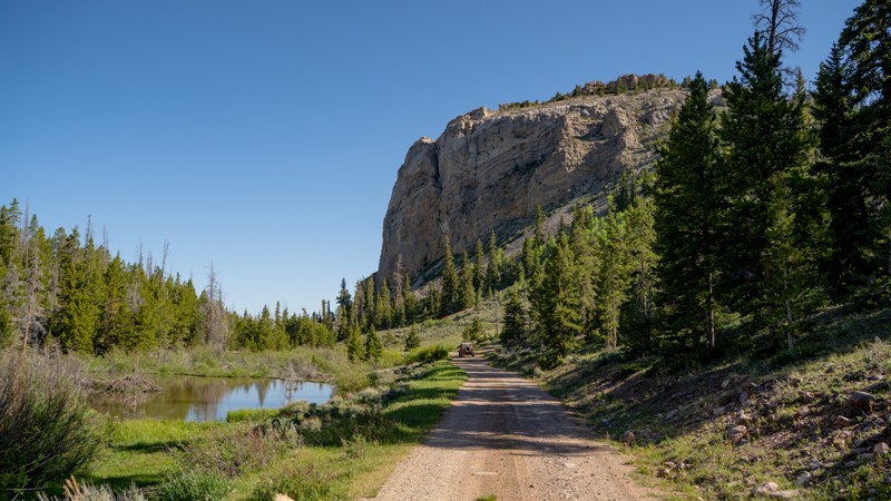
This stretch of mostly graded dirt road serves as a connector between Henry's Fork and Hoop Lake. Running directly parallel along the High Uinta Wilderness, the general area is an excellent escape from lower elevation heat during the summers, but is typically inaccessible in the winter to anyone other than snowmobilers.
As you travel along the trail, you'll see signage regarding the reintroduction of Rocky Mountain Bighorn Sheep, so keep your eyes open for these Uinta natives. Another small stretch of the trail is home to an additional native creature, the beaver! A few large ponds with clearly visible lodges (dome-shaped beaver homes) sit under the looming presence of a large rock formation that rises above the trail.
Visiting during early summer will treat you to colorful pockets of wildflowers and rushing creeks filled with snowpack melt from the High Uintas. Autumn is also colorful, with the large aspen groves in the area turning golden.
Although dispersed camping is not plentiful along this trail, a couple of sites can be found off of Upper Middle Beaver (FS164), and another large open site can be found near the middle point of the trail, next to West Fork Beaver Creek and the large culvert that runs under the trail.
Nearby camping can be found at Hoop Lake Campground or the sites located around Henry's Fork Hiking Trailhead.
Updated: 08/11/2026
Forest Boundary
Hanna, Utah
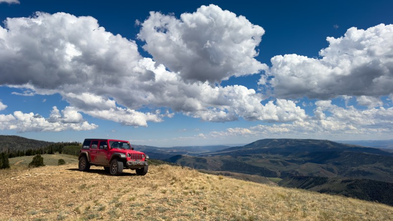
If great views are your thing, be sure to check out Forest Boundary. Spurring off Left Fork Rhodes Canyon, this moderately rated packed-dirt road provides quite an impressive view of the narrow valley below. Although not overly challenging, the start of the trail runs through a firewood-cutting area, where trees are often downed and lying across the path. Once you reach the forest's edge, the exposed dirt trail is subject to washouts and ruts from severe weather. If you do not angle correctly, large undulations may require a decent amount of flex, 4WD, or lockers. Lastly, the trail becomes a 50" and narrower trail without warning or any place to turn around. The best place to turn around is the main viewpoint.
Camping beyond the trailhead is limited to the first viewpoint, where you are somewhat exposed to the elements. Better options lie off Left Fork Rhodes Canyon, which you will likely see before beginning this trail. All of these camping opportunities are dispersed with no amenities.
Updated: 04/01/2025
D1494
Moab, Utah
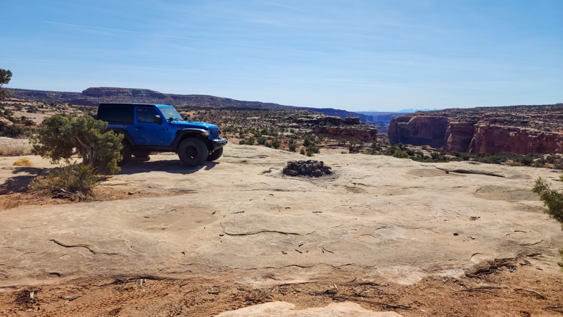
D1494 is a short, out-and-back camping spur off of Spring Canyon Bottom. There are 7 well-spaced campsites along this trail, all offering great views and plenty of personal space. The trail surface is a mix of hard-packed dirt and slickrock. The slickrock makes the drive bumpy at times but not difficult. Any vehicle with decent ground clearance can make the trek back to the farthest campsites. A few of the campsites look back towards Spring Canyon Bottom Road, while a few others overlook Hell Roaring Canyon. The campsites here are suitable for any type of camp setup, but long trailers should use caution due to some of the raised slickrock in sections that could snag underside stabilizers.
Updated: 05/05/2025
Sevenmile Canyon Overlook
Moab, Utah
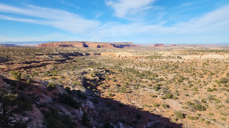
D1821 is a short, dead-end spur off the 7UP trail that leads past a few small campsites to a fantastic overlook of the Sevenmile Canyon area. The trail is rough, rocky, and slow, with a few 10" slickrock steps requiring careful tire placement for vehicles with smaller tires. The ending provides a nice campsite for one or two vehicles and views of 7 Mile Point, Merrimac Butte, and the La Sal Mountains. The trail is suitable for any high clearance 4-wheel drive vehicle.
Updated: 08/11/2025
Ute Mountain Lookout
Manila, Utah
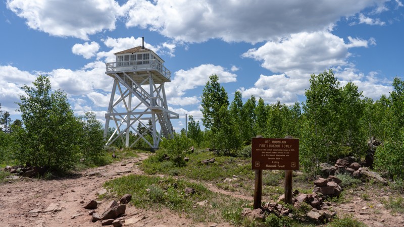
Ute Mountain Lookout is a mellow out-and-back route launching from Birch Creek Road, winding gently up to one of the Uintas’ most iconic destinations: the Ute Fire Lookout Tower. This well-graded dirt road eases through subalpine meadows and scattered pine groves, making it easily navigable by any vehicle with a bit of ground clearance. No specialized skills are required. The trail is ideal for beginners, families, or casual drivers seeking a peaceful mountain escape.
The star of the show is the Ute Fire Tower itself, a historic Civilian Conservation Corps structure built between 1935 and 1937. Significantly, it was the first fire tower in Utah constructed with above-ground living quarters and remains the last standing example of its kind in the state. Listed on both the National Register of Historic Places (since April 10, 1980) and the National Historic Lookout Register, the tower once housed Forest Service personnel from May through October, who lived thirty feet off the ground in a 14×14-foot cab, scanning for wildfires across the Northeastern Uintas.
Today, while the structure may no longer be manned daily, it continues to operate during fire season and stands renewed thanks to a restoration in 2013-2014. From its perch at roughly 8,845 feet elevation, visitors can walk around the base and appreciate sweeping panoramic views across 360 square miles of Ashley National Forest, beholding views of the Flaming Gorge region, Dinosaur National Monument, and distant ridge lines.
Camping along the route is possible, with a single reliable dispersed site nestled about halfway up, perfect for a mountain night under the stars. Although the trail sees moderate traffic in summer and fall, snow blocks access through winter and early spring, so late-season visitors will enjoy the trail at its prime.
For anyone seeking a relaxed, scenic trek with a slice of forest service history, Ute Mountain Lookout delivers a straightforward drive up, a touch of heritage at the summit, and a calm forest setting to round out the day.
Updated: 10/15/2024
Red Pine
Maeser, Utah
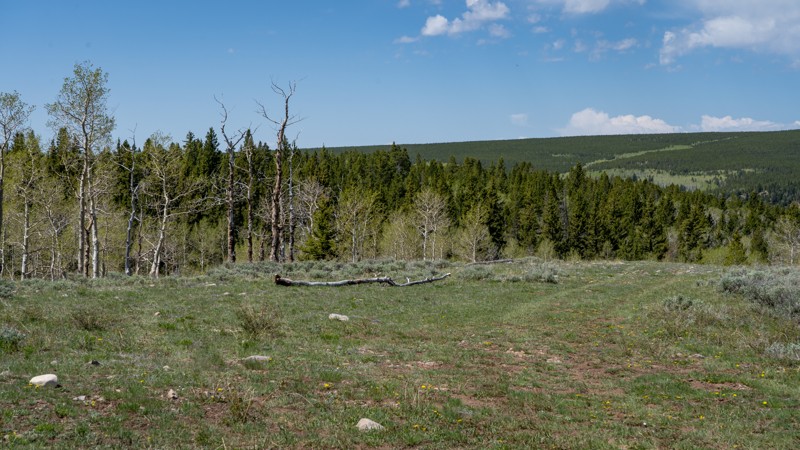
One of the more popular routes, Red Pine guides users over a rough, non-technical dirt road to the Red Pine hiking trail, which crosses the rather impressive Ashley Gorge. As with most trails in the Ashley National Forest, expect rustling groves of Aspen trees among the pines. Open meadows are also found randomly and provide a neat break in the trees to enjoy the lush greenery that hugs the ground. Camping is abundant on this trail, with most of it found located at either end. All camping offered is dispersed but offers great solitude from the more popular large camps closer to town.
Updated: 10/15/2024
Brush Trail
Sigurd, Utah
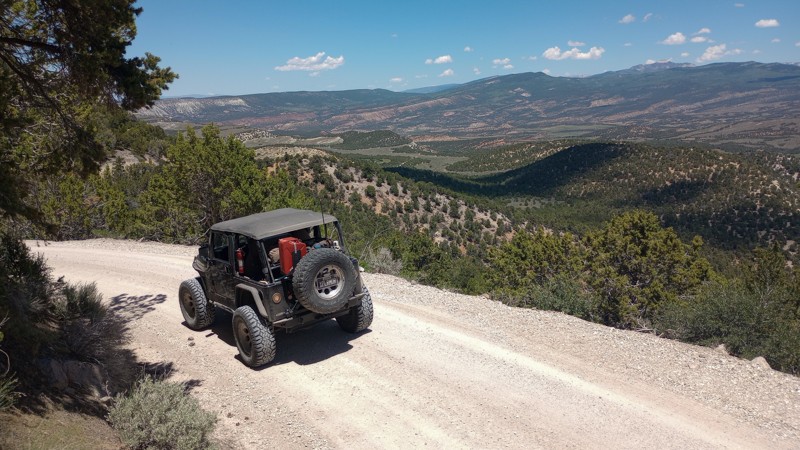
Brush Trail is a quick but bumpy way to access the water and camping at Rex Reservoir. The northern section is a scenic overlook ledge road, easily traveling into Fishlake National Forest. The road is primarily hard-packed dirt and wide enough for all full-size high-clearance vehicles. Camper trucks and trailers can safely travel the route, but attention must be paid when passing other vehicles. There is no camping to be found until the very end at Rex Reservoir. After rainstorms, the road surface can become extremely soft, creating deep ruts in the roadway.
Updated: 10/15/2024
Verde Loop
East Carbon, Utah
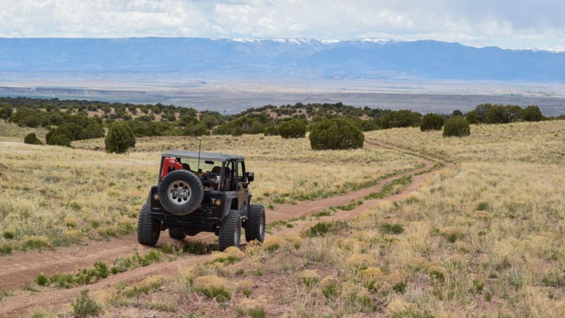
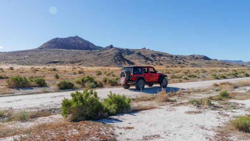
Climbing and descending over 500 feet, Verde Loop offers stunning views of the Book Cliffs and the foothills of the San Rafael Swell. On the northeastern edge of The Swell, the trail twists its way up and around rolling hills, with mild challenges for stock-type 4x4s. The trail is a mix of dirt and short, bumpy rock sections. A couple of deep washout obstacles require suspension flex for traction. While no established campsites were found along the route, the ease of access, scenery, ground conditions, and privacy are motivators to create a temporary site along the trail for the night. The trail is impassable in wet conditions.
Updated: 10/15/2024
Flint Spring Road
Dugway, Utah
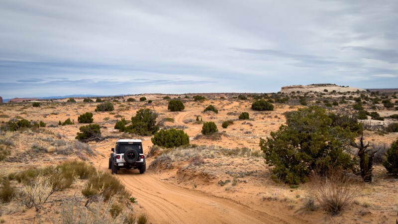
Fling Springs Road works with Around the Keg to connect the Pony Express and the Weis Highway. There are no obvious campsites along this trail, but the rock formations are a visual treat. The stone along Flint Springs is not your typical red rock but rather jagged and stark dark gray accentuated by hard shadows. Depending on the light, it really looks like an area out of a sci-fi movie set.
Updated: 10/15/2024
D2036
Moab, Utah
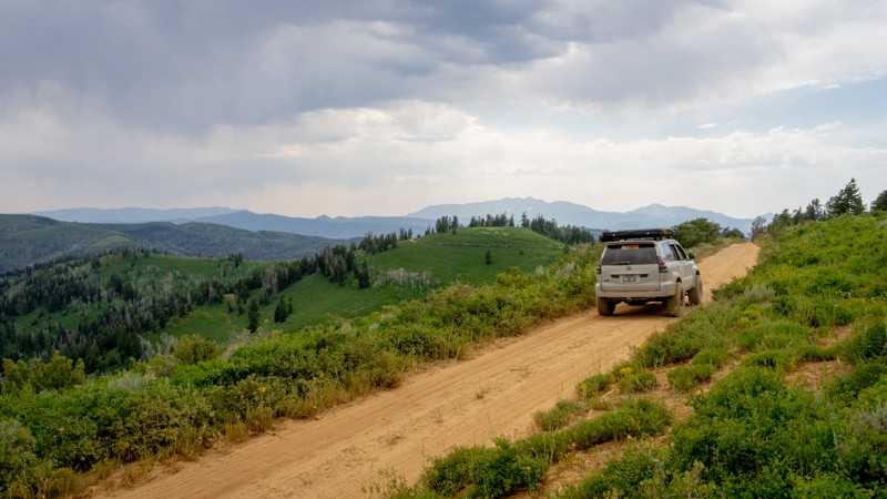
D2036 can be driven in any direction and follows a portion of the Easter Jeep Safari Secret Spire Route. The road is a mix of sandy two-track, with one slickrock climb/decent on the northern edge. To the south side of the slickrock climb are a few 1' to 2' tall ledges to manage, but any high-clearance stock SUV can handle them. There are no dispersed camping opportunities along the route.
Updated: 02/18/2025
Garrett Ridge
Tucker, Utah
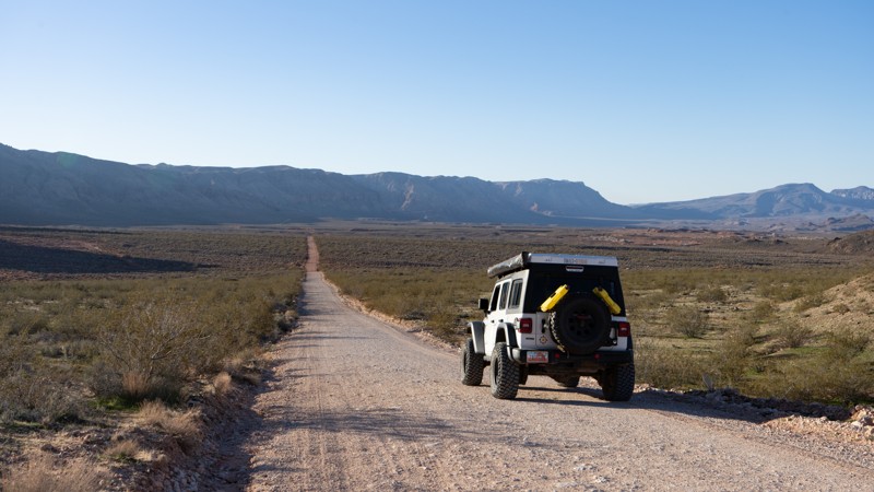
Garrett Ridge is one of the many ridge line roads spurring off of North Skyline Drive. The trail is mostly packed dirt and only a single vehicle wide, making passing oncoming traffic tricky. Rolling green mountain tops and blooming wildflowers make the summer months a real treat, especially if you are trying to escape the sweltering heat of the Salt Lake Valley. Dispersed camping is very limited along this stretch, with only two sites easily visible, one of them being at the very end of the trail. If you choose to camp at the end site, be prepared for other explorers who will need to pull into your space a bit to turn around.
Updated: 02/02/2026
Arizona Strip Road
Hurricane, Utah
Arizona Strip Road is the most direct way into the Strip from Hurricane, Utah. It starts roughly around the small airpark within Hurricane and travels south, connecting to Warner Valley Road, The Honeymoon Trail, and finally joins BLM #1036. The road is suitable for any high clearance vehicle. There are numerous pre-disturbed boondocking/camping sites from start to finish.
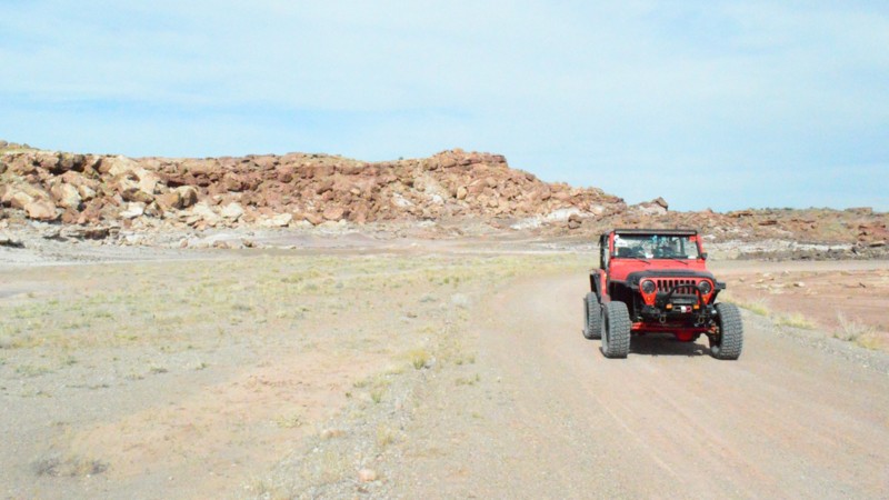
Updated: 06/05/2022
E South Sand Bench Spur
Ferron, Utah
This trail is a quick and easy short cut for E South Sand Bench Loop. Along the trail, you will find a cluster of large boulders standing out from the otherwise barren scenery, giving you the feeling of being on another planet. Other than this strange crop of rocks, this trail offers plenty of isolation, as it is seldom used compared to other popular trails in the area. This would be a great area providing a secluded basecamp for a weekend adventure in the San Rafael Swell.
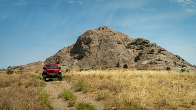
Updated: 10/15/2024
Post Hollow Road
Dugway, Utah
Post Hollow Road heads south from White Rock, connecting back to Skull Valley Road near its southern terminus. This is a bumpy, non-technical 2-track running through the grassy hills of the West Desert. Due to its little use, the grass grows tall, even in the middle of the trail, so be very cautious where you stop your vehicle. No camping was found directly along the trail, but White Rock has plenty of dispersed opportunities.
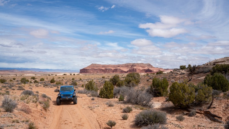
Updated: 05/12/2025
D2718
Crescent Junction, Utah
D2718 is a jumper trail between Duma Point Road, and D2700. At just over 1 mile, this moderate trail takes no time in any high clearance vehicle. 4WD helps with the deep sand and small hills. The views around this region are consistent with the Moab desert with Dubinky Point to the south. Unfortunately, there are no campsites on this trail.
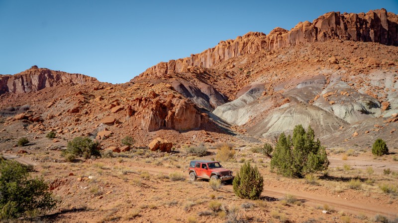
Updated: 03/11/2025
Silver Falls Road
Boulder, Utah
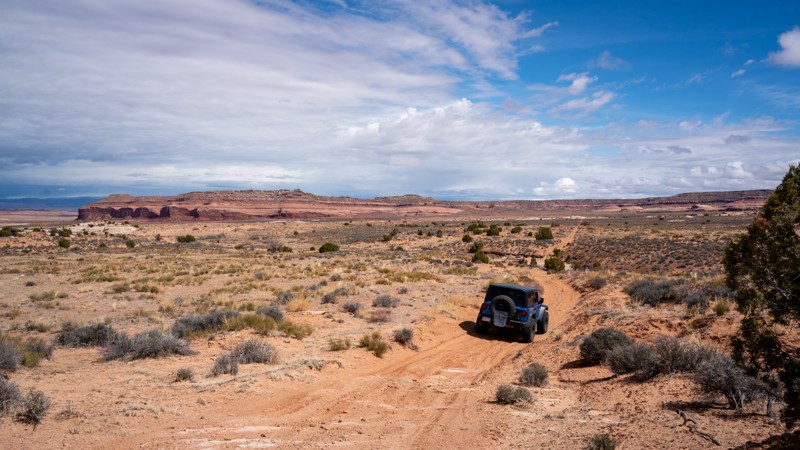
Silver Falls Road is a short 3.5-mile out-and-back trail traveling into the wide mouth of a canyon that eventually narrows as the path of Silver Falls Creek makes its way to the Escalante River. The motorized route comes to a dead-end at the boundary of the Glen Canyon National Recreation Area.
The general area around the start of the trail is also home to the historic Sneaky Prospect and Hotshot Prospect uranium mines, which are part of the Circle Cliffs Mining District.
A dispersed campsite can be found roughly 3 miles down the trail, with two more at the very end. If you plan to overnight camp within Grand Staircase - Escalante National Monument, be sure to obtain a Backcountry Permit at the Escalante Interagency Visitor Center or in most of the trail register boxes at hiking trailheads. Backcountry Permits for overnight stays are free and assist the BLM (Bureau of Land Management) with tracking public land use and can also assist with emergency response efforts. Day use does not require a backcountry permit, but please sign the trail register.
Updated: 05/12/2025
D2629
Crescent Junction, Utah
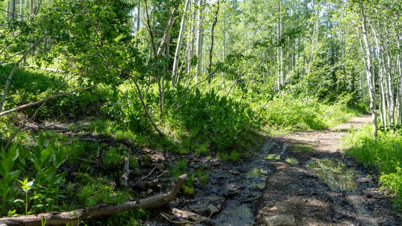
Jumping between Duma Point Road and Rainbow Rocks (Rainbow Terrace), D2629 is a sandy 2.3-mile trail with good views of the surrounding valley and Dubinky Point. Although not a destination trail, this moderately rated trail is an excellent chance for beginners to tackle minor rocky obstacles and deep sand in stock 4WD vehicles. There are no campsites along this route, but many nearby trails have options for dispersed camping.
Updated: 09/06/2026
Hoyt Snow Survey
Marion, Utah
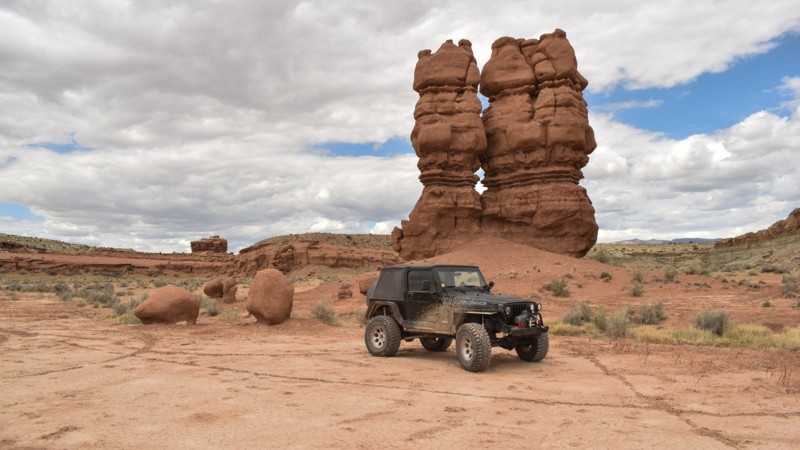
Although nothing extraordinary, Hoyt Snow Survey spur is a neat side shoot off of Hoyt Canyon. The trail is tight, bumpy, and has a fair amount of moisture compared to surrounding trails. Whether you are looking to adventure every trail possible or just extend your time away from the city, this short spur will be a welcome addition.
Updated: 10/15/2024
Sid and Charley
Moore, Utah
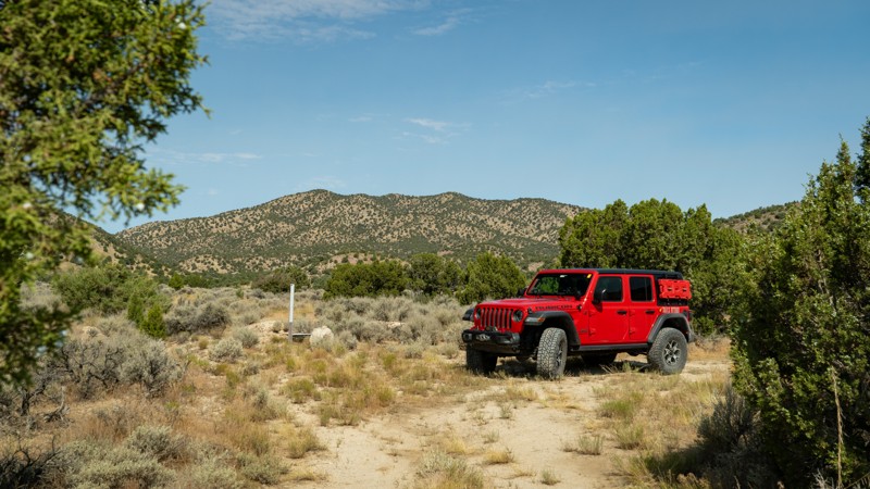
The not-so-famous twin spires, Sid and Charley, stand tall and are tucked 4 miles back in the desert. It's a quick and easy dead-end drive back to this photogenic pair of spires named after the local Swasey brothers; you know, Swasey's Cabin. The trail is rough dirt with rut washouts that bottom out suspension. You can drive up to the spires for pictures, continue a stone's throw away to camping near the cliffs and the petroglyphs, and then onto the end, where there is hiking to more petroglyphs hidden in the canyon. The level dirt area allows several vehicles with tents to hide from the wind below the cliffs, but the site does have moderate OHV and hiking traffic.
Updated: 10/15/2024
Six Horse Pass Road
Dugway, Utah
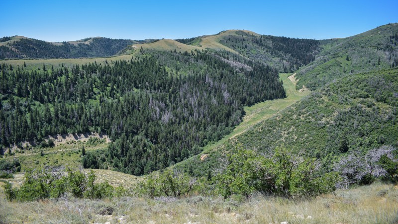
Six Horse Pass trail is a nearly forgotten 2-track hidden in the foothills of the Cedar Mountains. Branching off of Cochran Spring Road, this trail quickly begins disappearing into the juniper and sage trees. Occasional washouts and encroaching branches are the challenges to face on this short spur. Due to deep ruts and a soft sandy surface, high clearance and 4WD may be needed. Although this trail is on BLM land, no camping is found.
Updated: 10/15/2024
Beaver Road
Coal City, Utah
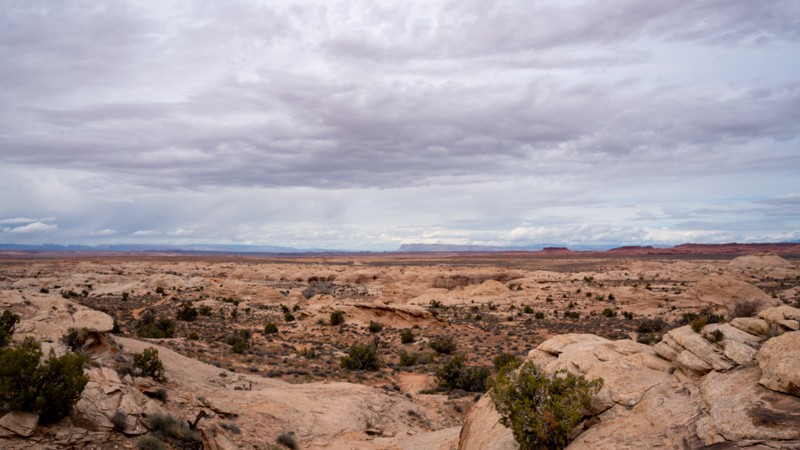
Climbing to almost 9,500', Beaver Road is a scenic shortcut over the mountains to Scofield Reservoir and much more within the nearby Manti-La Sal National Forest. Winding into the mountains from Helper, UT, Beaver Road travels across mountainous private mining land. For miles, the area alongside the road is closed to any type of usage, but the views are free and the true reward along this route. Camping is limited to a single campsite near the eastern trailhead, which is a large grassy site with room for a couple of vehicles and tents. Beyond the campsite, the trail is a bumpy climb through the trees until the summit near the private property boundary. 'The Elbow' switchbacks near the western trailhead are both scenic and intimidating. The grade is safe for all full-size vehicles with 4x4, but it's not recommended for trailers. Use caution and plan accordingly when passing on 'The Elbow.'
Updated: 10/15/2024
D2710
Crescent Junction, Utah
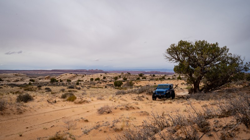
Tucked away in a less visited part of the Labyrinth Rims region of Moab, the D2700s trails offer peace and solitude, with small challenges and a lot of scenery. While D2710 is on the easier side of moderate, this trail has great scenery in almost every direction. Although there is no camping along this trail, many nearby spurs have good options for dispersed camping.
Updated: 10/15/2024
D2697
Crescent Junction, Utah
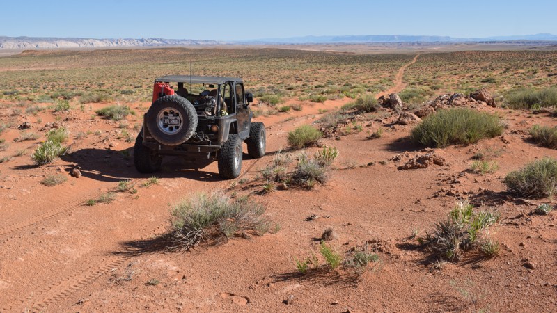
Acting as a halfway jumper between D2700 and B338, this moderately rated trail provides scenery typical of the Labyrinth Rims region of Moab, with sagebrush, junipers, and Mormon tea dotting the golden sand. There are no difficult obstacles, although a few rocky patches may slow down new drivers and stock vehicles. Due to the patches of soft sand, 4WD is recommended. There are no campsites on this trail, but many nearby spurs have great dispersed camping opportunities.
Updated: 10/15/2024
BLM 9700
Hanksville, Utah
Located is the San Rafael Desert, BLM 9700 is a scenic sandy two-track connecting State Route 24 and Saucer Basin. The trail is ideal for beginners or overland adventurers trying to avoid the 'roads' in the area. The trail can be completed in stock 4x4s with high ground clearance and aggressive tires for the soft sand. Experience in soft sand is required in this remote region of Utah. While no established campsites were found, trailside primitive camping is allowed, and there are open sandy spots where you can set up a tent for the night.

Upgrade your Membership
Unlock all of the details on every Trail Guide and Scout Route.
Start a 7-day Free TrialBrowse Trails in Utah by City
Browse every Utah city with offroad trail guides.
Community
Partners

