
Top of the World (4.86 miles away)
Cisco, Utah
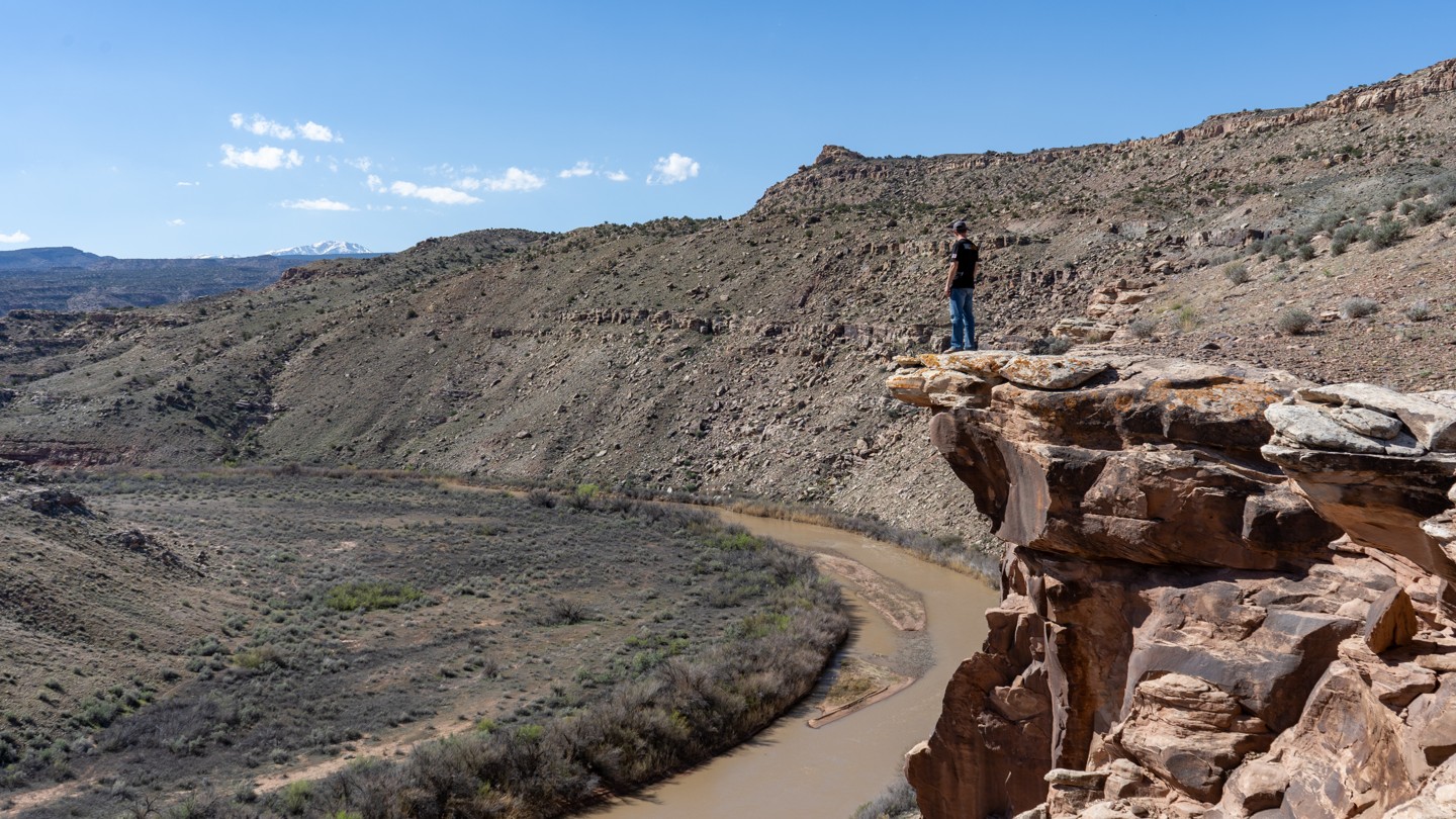

Big Pinto Mesa is a network of unnamed BLM “D” roads. While maps may show through access on the northwest and southwest corners, the northern route to Gold Mine Road is gated, and the southwestern route has long been washed away and is no longer passable by vehicle, making this a long, lollipop-shaped out-and-back. The trail begins on the southeast end with a sharply climbing, narrow, steep, and rocky shelf road section that requires a mild lift and larger tires. A long, rocky, and remote spur drops toward the Dolores River on the east side, though views are limited. Camping is very limited, with only one or two viable spots. Mining history is evident near the far north end, with additional remnants scattered throughout the area.