










By clicking "ACCEPT", you agree to be the terms and conditions of each policy linked to above. You also agree to the storing of cookies on your device to facilitate the operation and functionality of our site, enhance and customize your user experience, and to analyze how our site is used.
Utah Off-Road Trails
359
Total Trail Guides 334

4759
Detailed Waypoints 925
Try a Free 7-Day Trial and unlock it all
Start a Free Trial Most Recent Trail Reviews

P
Peaks&Pixels
No Rating
Open
Visited: 09/24/2026
This trail has been graded recently and is now an easy trail.
IE
Ingrid Enyeart
Rated 5/5
Partially Open
Visited: 09/22/2026
The portion of the trail between the fork at 11 and the fork at 13 has two major ledges that have formed going into and out of the wash. Not sure what vehicle could overcome these. So just take the sc...


CI
Christine Irsik
Rated 4/5
Open
Visited: 09/22/2026
We enjoyed this trail and will definitely do it again. Gorgeous views at many points along the trail. We didn’t try The Wall, but everything else was just enough of a challenge for us and nice that m...
LF
Leslie F
No Rating
Open
Visited: 09/22/2026
Drove out here in a thunderstorm after doing dome plateau overlook. Epic camping. peaceful. unparalleled views. trail had two steep rocky sections I used 4wd low but probably didn't need to.

JR
jon ross
No Rating
Open
Visited: 09/21/2026
This is a short 2 mile of so cut off trail. Has a wash out with a by pass half way through.



Earl Neisler
Earl Neisler
Rated 2/5
Open
Visited: 09/21/2026
Pinstripe Alley nonstop for the first 4 miles. INo view to be had until waypoint 7. It was a beautiful view then we turned around. Should’ve read the reviews before we started the trail, because th...
LF
Leslie F
Rated 5/5
Open
Visited: 09/21/2026
This is a highlight for the trip. We stayed at waypoint10 for the night.


Earl Neisler
Rated 4/5
Open
Visited: 09/21/2026
Nice connector. The short out back was the hardest and not that short.


Earl Neisler
Rated 4/5
Open
Visited: 09/21/2026
A well maintained road. Found a nice camp site on the south in.
Earl Neisler

Jesse Martin
Jesse Martin
Rated 5/5
Open
Visited: 09/20/2026
Great area to go camping and gather for family reunions. There are multiple other trails that fork off throughout the trail to explore.

Dustin
Earl Neisler
Rated 5/5
Open
Visited: 09/20/2026
Only did apart due to time. This is 1 I will come back and finish.

Earl Neisler
Rated 3/5
Open
Visited: 09/20/2026
Not much to say it a slow easy. A good connecting trail.
Earl Neisler
No Rating
Open
Visited: 09/20/2026
We started just south of Cottonwood Canyon. We stop and looked but could not fine the rock art. The area was a nice to see all the green.


Earl Neisler
Rated 4/5
Open
Visited: 09/19/2026
Great trail, we drove through waypoints 24-35. Easy ride with a good amount of mud holes with few ruts on the stretch we drove. Would love to complete the whole trail at a later date.
Dustin
Rated 4/5
Open
Visited: 09/19/2026
Fun easy trail. Great way to get out and enjoy a relaxing trail ride to take in nature and see the fall colors.
Dustin
Rated 5/5
Open
Visited: 09/19/2026
Great Trail! The scenery was good with lots of wildlife. The trail was diverse that give drivers the opportunity to use both high and low four wheel drive. Trail has both wide and narrow areas.
Dustin
Rated 5/5
Open
Visited: 09/18/2026
I run this trail every year. Always fun and beautiful views. Fair amount of off camber sections.

Jeff Klaassen
Rated 5/5
Open
Visited: 09/18/2026
This was a good trail. The trail still had so flood damage but was passable. Highly recommended this. Has some all some view. We took 2 day to enjoy the ride and views.


Earl Neisler
No Rating
Open
Visited: 09/16/2026
Very fun, short trail. We did the loop but not Wipeout Hill. The sandy sections were a blast and there were a few ledges and obstacles that probably warrant a 5 but are still a fun challenge. We did i...



Mark Signorelli
Rated 4/5
Open
Visited: 09/15/2026
Ran this one and it's a decent stretch for anyone with a high clearance 4x4. The early sagebrush section had me watching my GPS track closely since the road nearly disappears a few times, but it alway...



Jay North
Official Crew
Rated 4/5
Open
Visited: 09/15/2026
Ran this as a quick add-on while working through the rest of the Red Hills network, and it's a fun one to knock out in under an hour. The wash crossing is the one spot where you actually have to think...


Jay North
Official Crew
Rated 3/5
Open
Visited: 09/15/2026
Ran this one on a dry afternoon and came away satisfied without being blown away. The rocky, rolling grade keeps things interesting without ever feeling out of reach for a stock high clearance rig, th...


Jay North
Official Crew
Rated 4/5
Open
Visited: 09/15/2026
Ran this one on an afternoon when I didn't have time for a full day out, and it delivered more than I expected for a short climb. The hill about a mile in makes you actually think about your line, and...


Jay North
Official Crew
Rated 4/5
Open
Visited: 09/13/2026
Red Peak Road is a short, easy cruise that's mostly smooth dirt with just enough texture to keep it interesting. There's a mild rough patch early on and a slightly rockier stretch past the halfway poi...


Jay North
Official Crew
Rated 2/5
Open
Visited: 09/13/2026
This is an easy, low-key cruise with a short technical bump right in the middle where it ties into the rest of the network, otherwise it is just packed dirt and gravel the whole way. Nothing here dema...


Jay North
Official Crew
Rated 4/5
Open
Visited: 09/13/2026
This one's an easy, mellow cruiser and it shows in how quick it feels behind the wheel. The rocky spots near the start and about two thirds up are barely worth mentioning, just some careful tire place...


Jay North
Official Crew
Rated 5/5
Open
Visited: 09/13/2026
This one's a fun add-on if you're already out in the area, easy enough for most of the way that a stock rig won't break a sweat, with just a couple of hard spots to keep things interesting. The washou...


Jay North
Official Crew
Rated 4/5
Open
Visited: 09/13/2026
A nice view of Kanab. Steepish and possibly slick when muddy. One spot has a small rock shelf. 4x4 recommended.


Ben Ruddell
Official Crew
Rated 3/5
Open
Visited: 09/13/2026
Easy, suitable for high clearance 2WD on a dry day, though four wheel drive earns its keep if the ground's been wet. The ruts along the way are mild and easy to place your tires around, and the two wa...


Jay North
Official Crew
No Rating
Open
Visited: 09/12/2026
Crazy no reviews since I ran it last May. We ran it again this time the whole trail out to the south overlook. It had rained the night before and into the morning. The rock dried up quick but a lot o...



Andrew Hotton
Rated 5/5
Open
Visited: 09/12/2026
Sand dunes. DANGER, you need to know your technique to head in here. It’s easy to misjudge slope and camber and get stuck or worse roll.


Ben Ruddell
Official Crew
Rated 3/5
Open
Visited: 09/12/2026
The section of the trail was rocky and rough - still fairly easy but the rockiest stretch.
WF
Wyatt Frampton
Rated 4/5
Open
Visited: 09/12/2026
This trail checks so, so many of the boxes -- hanging off a cliff, passing within 4" of rocks on BOTH sides at the same time on narrow sections, meaningful obstacles (ledges) where I smacked my hitch ...
IR
Isaac R
Rated 3/5
Open
Visited: 09/12/2026
This is an easy, high clearance 2WD road, easy enough that the drive itself isn't the draw. The shelf road stretch is mild and only about two jeeps wide, so keep an eye out for oncoming traffic, and t...


Jay North
Official Crew
Rated 2/5
Open
Visited: 09/12/2026
This is a mellow, low-stress drive that rewards a relaxed pace more than any technical challenge. Stock high clearance handled every mile without a second thought, and the surface stayed predictable e...


Jay North
Official Crew
Rated 5/5
Open
Visited: 09/11/2026
Great rest quick trail! Perfect for beginners, fun place for a picnic. The entrance and exit terrain to the tunnel changes depending on the weather and use. Very fun and interesting.


Dustin
Rated 4/5
Open
Visited: 09/11/2026
My route didn’t originally include this trail, but one of my crew broke on impossible hill and we had to limp back to civilization. This trail was beautiful and remote. Difficulty wise, no issues on t...



Dewie Jones
Official Crew
Rated 4/5
Open
Visited: 09/10/2026
Way better than I thought it would be. This was simply a connector trail for my unsuccessful (broken Toyota) Blanding to Moab overland trip. The trail is absolutely beautiful, relatively fast access, ...
Dewie Jones
Official Crew
Rated 3/5
Open
Visited: 09/10/2026
Easy enough that I did this road in pitch-black with just headlights (no light bar or anything) on the way to see sunrise from the end of the trail (Hurrah Pass). Really straightforward, just rocky li...
IR
Isaac R
Rated 4/5
Open
Visited: 09/10/2026
Incredibly beautiful road and not really rough at all -- I did a bunch of with fully-inflated tires. I know it's just a connector but honestly I would 100% come out here again to enjoy the views, hang...
IR
Isaac R
Rated 4/5
Temporary Closure
Visited: 09/10/2026
Deep mud around river crossing prevents passage. We came from Goblin Valley side, we were able to cross the river but there was deep mud on south side due to recent rains. Almost got stuck, had to go ...

Thomas A Youngerman
Rated 5/5
Open
Visited: 09/09/2026
Incredible bucket list trail that you must do if you can. DON'T do it in 1 day unless you like rushing it, unfortunately circumstances changed that required us to rush it. It's gorgeous and worth an o...



Sean Allen
Rated 5/5
Open
Visited: 09/09/2026
I built this into our rocklanding/overland route and really enjoyed the adventure. You can tell this isn’t well traveled which added to the experience. With that said, we’re trying to get to Moab from...


Dewie Jones
Official Crew
Thomas A Youngerman
Rated 5/5
Open
Visited: 09/08/2026
Great as always, high rewards in terms of views and nothing crazy in terms of obstacles. Great first trail for someone to do with a great payoff!


Sean Allen
Most Popular
Updated: 07/02/2024
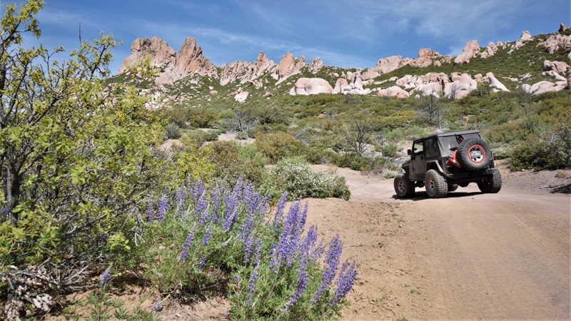
The Pinnacles
Enterprise, Utah
The Pinnacles trail travels through a long canyon with a northern ridgeline decorated with imposing white sandstone towers. You can drive this mildly challenging route in either direction and enjoy it the same amount. The best time of year is during the spring bloom, as wildflowers are everywhere. The creeks are usually running, which means that you'll be crossing flowing water numerous times as you wind your way through the canyon. Connecting this trail with Slaughter Creek, Clay Deposit, and Veyo Shoal Creek Roads makes for a wonderful day in the mountains of southern Utah.

Updated: 05/20/2026
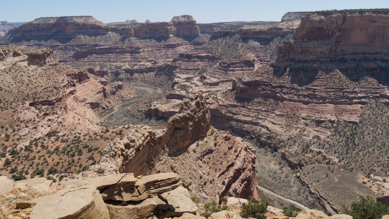
Little Grand Canyon
Castle Dale, Utah
It doesn't get much better than sitting on the edge, drinking your morning coffee while the sun rises over the Little Grand Canyon. This easy out-and-back trail has countless free campsites right on the canyon's edge, or you can choose a camp tucked back in trees across the trail from the cliffs. There are breathtaking views all along the route. The trail becomes rougher the further you travel out to the three overlook points. Each overlook offers a different view down into the canyon, where the San Rafael River cuts through the earth. To reach the final point, you'll need 4x4 and high clearance.
Updated: 10/15/2024
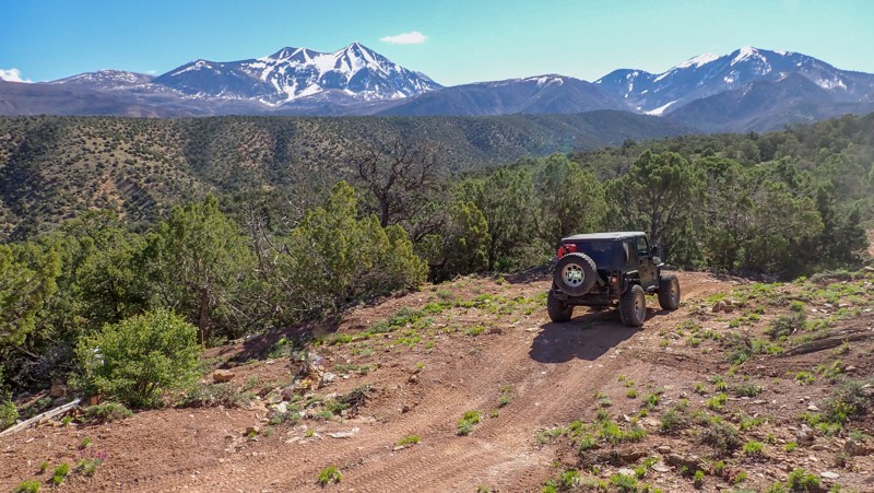
Slaughter Flats 78
Spanish Valley, Utah
Traveling up into to foothills of the Manti-La Sal Mountains, Slaughter Flats is a moderate scenic tour past old mines and sprawling panoramas of the mountain peaks. From the northern trailhead, the trail travels along narrow rocky ledges with countless dead-end off-shoots to old mine sites. By following the track closely, you'll safely travel past Yellow Circle mines and the relics left behind. You can stop at the old foundation with a chimney and a safe door. The old fenced-off mine entrances and a rusty truck dump are further up the twisting ledges. The trail is ideal for stock 4x4s with high clearance and durable offroad tires. The trail has numerous loose rocky hill climbs that require low-range gearing. The brush is tight, so you will get pinstripes. No camping was found along this route.

Updated: 04/29/2024
Crescent Canyon
Thompson Springs, Utah
Nestled in the foothills of the Book Cliffs is the little-known Crescent Canyon, which travels through and above a very colorful desert landscape. At the base of the ledge road, a towering spire marks the entrance to a region rarely visited by tourists. As you wind your way through the picturesque canyon, you'll be driven to stop along the trail's edge and get out of the vehicle to enjoy the pristine wilderness. The trail climbs up to the first tier of the ominous and expansive Book Cliffs within the Floy Canyon Wilderness Study Area. There are very few visitors or signs of civilization within this seemingly undisturbed part of Utah. Connect this trail with many others that traverse across the cliffs to the east toward Colorado.
Updated: 06/05/2022
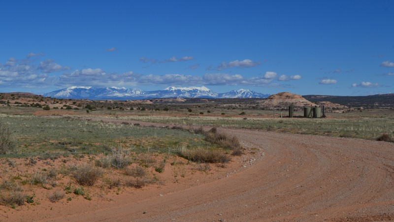
Short Cut Road
Moab, Utah
Short Cut Road is a great access road to many cool areas and sights to explore. If you are headed to Secret Spire, this will be the road to take. There are many camping opportunities along this route and also nearby, so it makes for a great place to basecamp for a weekend of adventure. You can also travel Short Cut Road to the south to access Spring Canyon Bottom. From there, you have a number of other incredible trails to explore.
Updated: 01/02/2025
Prickly Pear Pictographs
Castle Dale, Utah
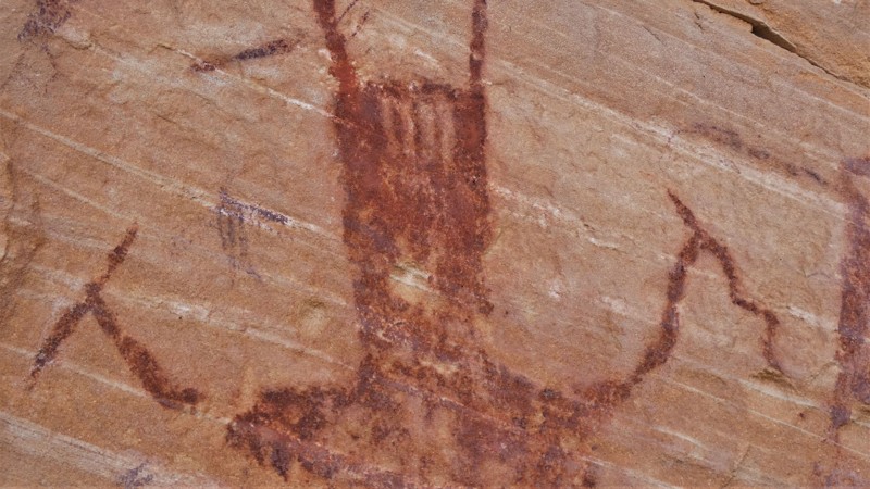
Travel across a beautiful landscape, twisting through pine trees and picturesque meadows before ending at a sandstone wall covered in ancient rock art. Prickly Pear Panel is a well-preserved Native American artwork display along a fun 4x4 trail. The trail leading out and back to the panel is an ideal route for stock 4x4s. There are mild challenges along the way that keep things exciting enough to keep pushing forward to the unique reward at the end. Long stretches of two-track zig-zag across grasslands, steep and soft dunes climb through pine trees, and there's primitive camping far away from the crowds. The rock art near the trail's end is estimated to have been painted around 2,000 years ago by the early Native American "Barrier Canyon Culture." These creative archaic people were hunter-gatherers, living in area caves or more temporary brush shelters. The red pigment was created using powdered hematite found in the surrounding landscape and likely mixed with animal fat, eggs, or other fluid as a binder. Paintbrushes were their fingers or brushes made from animal fur or prairie grasses. The course sandstone has absorbed the natural pigment, preserving it for thousands of years.
Updated: 12/02/2025
Levi Well Road
Crescent Junction, Utah
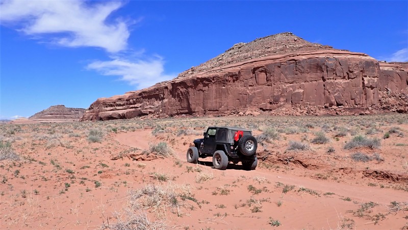
Levi Well Road is a quick and easy way to access the expansive trails within this area. The trail mixes soft sand and large sandstone slabs poking through the sand. It can be pretty bumpy, but there are not any rock obstacles. Low clearance vehicles may become bogged down and high-centered in the deep sand ruts. Camper vans may want to use another access road. The soft sand may dictate four-wheel drive and lower tire pressures. Camping was fairly limited along this route but not the area in general.
Updated: 06/05/2022
Good Water Canyon
Huntington, Utah
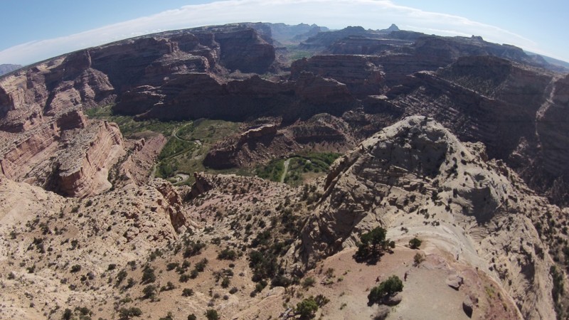
Short and sweet, this trail starts and ends along The Wedge Overlook in the San Rafael Swell. It is a nice scenic offroad drive giving you another way back out of the area. The Wedge area attracts thousands of people a year, coming to look at the "Little Grand Canyon" as well as the petroglyphs along Buckhorn Draw. The area is fairly easily accessible by most vehicles as long as there have not been any large storms. Make a quick trip or spend an entire weekend exploring the San Rafael Swell.
Updated: 06/05/2022
Lone Pine Arch
Santa Clara, Utah
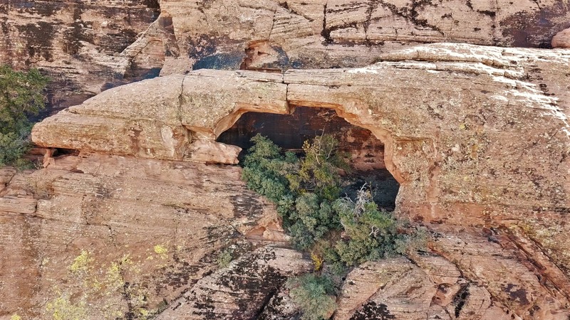
Natural arches within the state of Utah are a pretty common sight. However, within this region of southwestern Utah, they can be a little more elusive. Lone Pine Arch, sometimes called Ripple Arch, is located within a secluded canyon called Red Hollow. The arch is fairly easy to see from the trail end, it's about halfway up the cliff face. The arch isn't the only highlight for this area. There are also some hidden petroglyphs that are on the first step up the cliff face, on the dark, almost black sections of the rocks. There are supposed to be more rock art in this area but they were not found on this visit. The climb up under the arch is pretty difficult and should only be attempted by experienced hikers/climbers. The trail leading to the site is fairly easy for stock 4x4's but it's in a remote section of desert. There are a couple of places to park a few vehicles when you reach the end of the trail.
Updated: 04/10/2026
Little Grand Wash
Green River, Utah
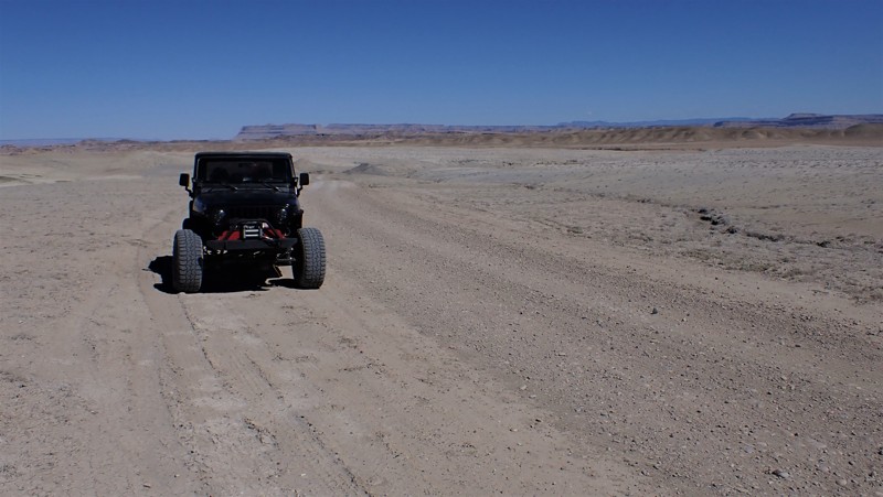
Little Grand Wash is one of the most desolate feeling trails in Utah. The alien-looking landscape appears more moon-like than being on planet earth. The trail is gravel sometimes, then turns to soft powdery grey dust. There are a couple of deep washout trenches that you must drop down into and back up to the other side. These require 4x4 and high ground clearance. The camping is wide open spaces, and flat soft ground is abundant, but no fire rings were found.
Updated: 09/02/2026
Kokopelli Cisco Landing to Highway 128
Cisco, Utah
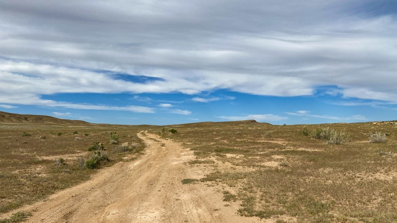
Mostly a two-track dirt road, the entire distance travels through an open grassland area with great views of the La Sal Mountains. Towards the end, you must cross Cisco Wash, a 40-degree soft dirt dip into and out of in a short distance. There is good evidence others have been stuck in the mud. Avoid when soggy. No camping areas along the entire route.
Updated: 06/05/2022
Copper Globe Landing Strip
Emery, Utah
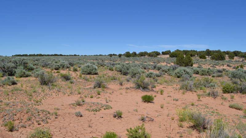
Sitting atop the Sagebrush Bench lies the landing strip once used to access the Copper Globe Mine. This area hasn't been used in such a long time that the landing strip is near impossible to find, however. That also makes this trail seldom traveled, providing some tight spots for full-sized vehicles to squeeze through. Although there is nothing spectacular at the end of this trail, it can still make for a fun side adventure if you are exploring in the area.
Updated: 04/10/2026
Red Wash Road
Green River, Utah
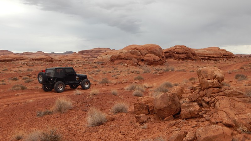
Red Wash Road is the continuation of Ruby Ranch Road. The trail starts at the southern border of the White Wash Dunes OHV area. You can find a couple of fenced-off areas for camping at the trailhead. The camp spots are very flat and have spectacular views of the surrounding area. The trail has a couple of mild rock crawling sections. You will need high clearance and 4-low gearing to navigate these sections safely. There are a couple of epic primitive campsites. The best site is hidden in a horseshoe-shaped canyon. The trail travels past its namesake canyon. You can park your vehicle right on the edge of the canyon to take in the breathtaking views.
Updated: 06/10/2026
Upper Setting
Woodland, Utah
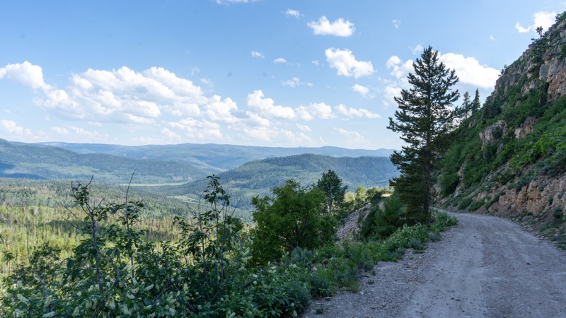
Climbing quickly from the Mirror Lake Highway, Upper Setting is a popular trail that gets you up and away quickly and effortlessly. Camping is abundant along the trail. Many sites have wonderful views or direct access to Coop Creek. This trail is well-maintained, so you may even see a couple of cars on your journey. Be sure to bring your hiking boots and continue on foot to either Castle Lake or the Shingle Creek Lakes.
Updated: 10/15/2024
North Point Road
Hanksville, Utah
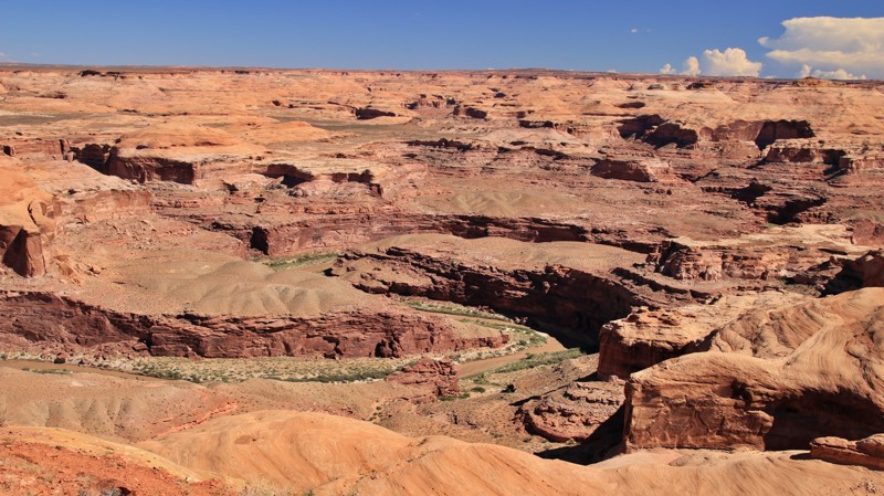
Spurring off the northern leg of Burr Point, this out-and-back trail goes to a small campsite on North Point overlooking the Dirty Devil River. The road runs cross slope and has innumerable wash crossings. Some of the washes are quite deep, and a lifted vehicle is required. The trail is likely impassable when wet. The trail also offers one brief section of slick rock to enjoy.
Updated: 09/06/2026
Wide Hollow
Samak, Utah
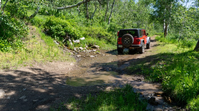
Wide Hollow is an easy dirt trail winding through the Kamas State Wildlife Area. Ruts and small rocky patches are common, and the trail has steeper inclines, making 4WD very helpful. Scrub oak and open meadows give way to aspens and pines as you gain elevation. The trail is a straight-through trail beginning in a neighborhood and ending on Hoyt Canyon. This is an excellent trail for beginners and nature lovers to escape the city's heat.
Updated: 07/28/2026
Bird's View
Moab, Utah
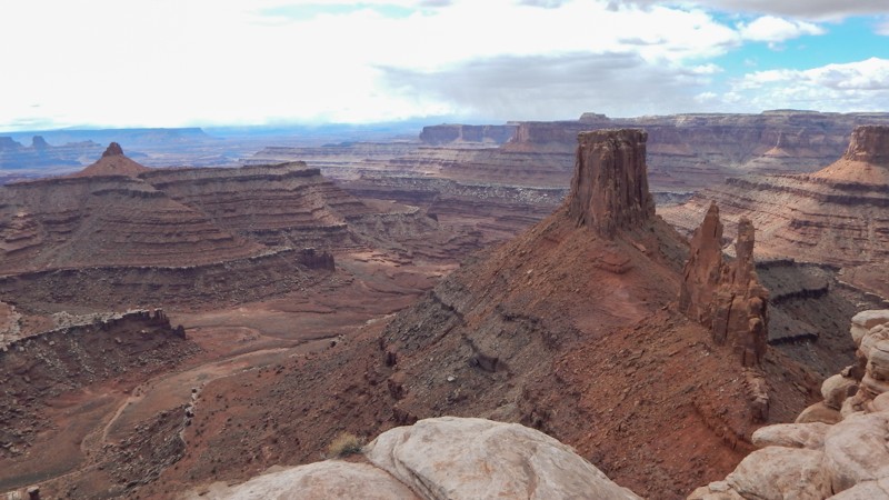
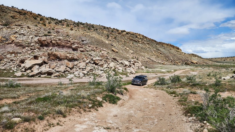
With a Bird's Eye view of the Bird's Eye and Crow's Head Spires, D1234 is an easy way to get to a fantastic overlook of Shafer Canyon and beyond. The trail is perfect for beginners in capable stock 4x4s looking to avoid the more difficult rock crawling trails leading to overlooks. There are vertical rock steps and blind ledges 6-8" tall to navigate. The overlook parking area has been recently updated with fencing and signage for the overlook access. Camping is prohibited on this route, but cliff-edge camping is found on trails D1230 and D1227.
Updated: 10/15/2024
Zion Curtain Trail
Westwater, Utah
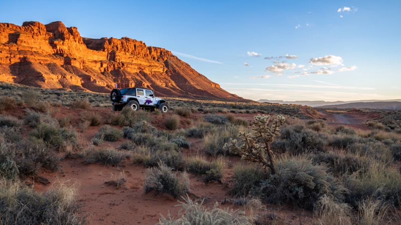
Following the Bitter Creek drainage in the Utah Rims area, just south of I-70 near the Utah and Colorado state line, Zion Curtain is an easy dirt road with vast desert scenery in a very desolate environment. The trail connects May Flat to a portion of the Kokopelli Trail. Trail surfaces consist of mainly packed dirt, with occasional exposed rock, including slickrock. The road is easily traversed by any stock high clearance pickup truck or SUV in dry conditions. If wet, it is best to avoid this trail as the dirt turns into to a sticky, greasy mud bog that will latch onto just about any vehicle and never let go. The trail is one vehicle wide the entire way, with plenty of pullout opportunities, but don't expect to see too many people in vehicles. This is a popular mountain bike area in the cooler months and remote enough that not many vehicles make the trek from Moab or Grand Junction.
Great dispersed camping is available along the entire trail. Pack out everything you pack in, including human waste.
Updated: 07/02/2026
Pipeline Road
Washington, Utah
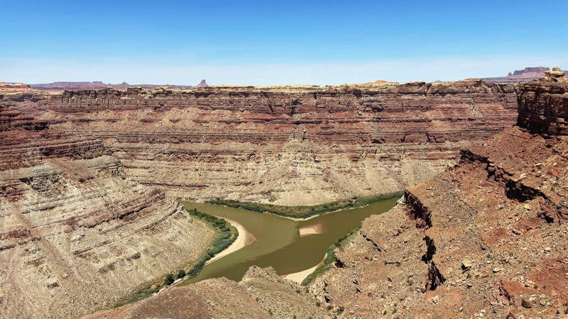
Pipeline Road is an easy, scenic dirt road that travels between Sand Mountain OHV area and Long Valley Road, passing through the Warner Valley Block State Trust Land. The road surface is primarily hardpacked dirt and gravel, two to three vehicles wide the entire way. It traverses gentle grades and is a perfect road for any vehicle that wants to hit dirt. The easiest access is from the south side, off Long Valley Road or Warner Valley Road, where it is suitable to bring trailers and RVs. There are plenty of large, designated camping spots along the southern half of the road, and all of them provide scenic views, whether it be of the Pine Valley Mountains, Warner Valley, or the Hurricane Cliffs.
Please note that if you enter the Sand Mountain OHV area, vehicles must have an orange or red safety flag on the vehicle, rising at least 8 feet off the ground.
Updated: 09/10/2026
Confluence Overlook
null, Utah
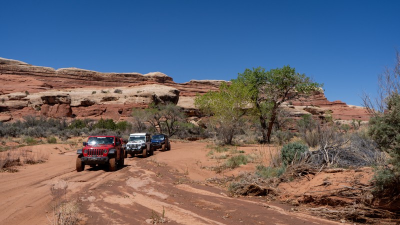
This short 3+ mile side route takes you to within a .5 mile hike of the Green River and Colorado River Confluence Overlook. It's an exceptional viewpoint of the two rivers that separate the three districts of Canyonlands. The trail is mostly smooth dirt with a few short sections of Slickrock that protrude just enough to keep this trail interesting. There are no named obstacles, but a narrow section with a Slickrock fin will require the correct line as it offers no bypass. A picnic table and pit toilet are in the parking area at the trail's end, which makes for a nice lunch stop.
Updated: 05/20/2025
Horse Canyon
Monticello, Utah
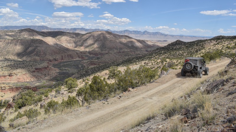
Desolation and beauty sum up the incredible experience of Horse Canyon. This extension of Salt Creek Canyon in the Needles District provides an incredible day of exploration and solitude, due to the limited number of daily permits. Be sure to take time to explore all of the side hikes and artifacts that this area is known for. Salt Creek Canyon and Horse Canyon offer quite possibly the most intense and undisturbed pictographs in Utah. Always come prepared for such a remote journey, and leave everything as you found it so that the next person can experience all of the same unique history in its well-preserved state.
Updated: 04/22/2026
Humbug Mountain
Cleveland, Utah
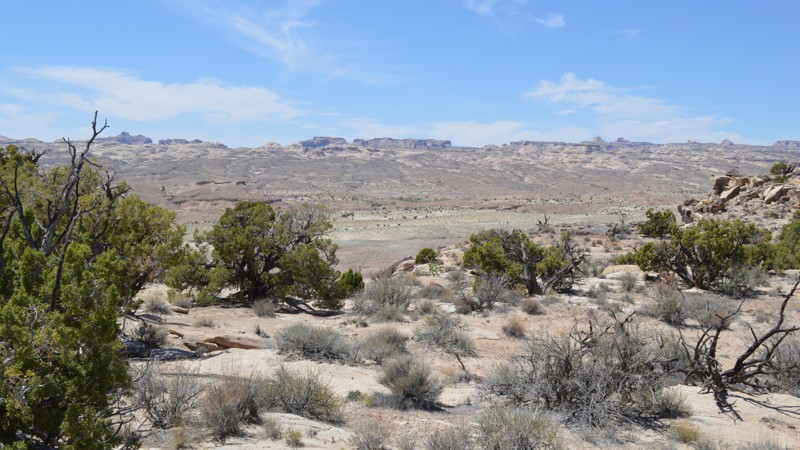
The epitome of "the further you go, the harder it gets" type trail, Humbug Mountain, begins as an easy gravel road, leading past the Jurassic National Monument site, before climbing up difficult rocky passes at almost 6500' and a breathtaking overlook. Early along the route, signs mark the various sediment layers containing prehistoric bones. Much more information is available at the Cleveland-Lloyd Dinosaur Quarry, a marked turn along the route.
The trail remains easy and passable for cars until around the 12-mile point. After that, you need 4x4 low-range, high-clearance, and durable tires to reach the trail end. The climb up the mountain is rough and not for inexperienced drivers or under-equipped vehicles. The area is very remote. The ledges are very narrow. Rock slides can occur. Large rocks must be driven over or moved from the trail. The final 8 miles of the route are very scenic as you climb high above the desert, with views of the Price River and Stove Gulch below.
Early along the route, there are large areas where groups can be found camping. Along the easy section, before the steep climb begins, two pull-off trails lead to excellent primitive camping in the boulders. Both areas are interesting to explore on foot.
Updated: 05/28/2022
Trail Spring
Green River, Utah
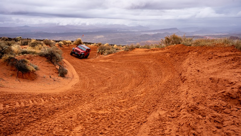
Lesser known to the offroad crowd, the eastern portion of the San Rafael Swell has a few hidden gems. Trail Spring is one of those seldom explored nuggets. Along with some great views of the "benches" of the Swell, this trail leads you on a geologic voyage bordering on sensory overload. From the traditional yellow and tan sand indicative of the area, you quickly jump into what can only be described as an other worldly environment of packed black and white dirt with patches of deep purple and maroon. And just as quick, you roll into red rock reminiscent of Moab, which soon gives way to the Swell's ubiquitous yellow sand. If landscape diversity is your thing, this trail will surely excite you.
Updated: 07/21/2026
Bobsled
Washington, Utah
Bobsled is a straight-through, north-to-south alternative between West Rim and John's Trail. The northern half of the trail is primarily bumpy slickrock as you make your way to or from the West Rim bathroom. A few optional obstacles can be found along this stretch, but a high clearance vehicle is suitable for the entire section. The trail's southern half is the most fun, with tight, high-bank sandy corners that are great for those looking for a speed fix. This trail is two-way, and users should always anticipate oncoming traffic. Occasional protruding rocks can be found in the sand, but the southern half is still suitable for any high clearance vehicle.
About Sand Mountain
Sand Mountain is an extremely unique parcel of public land. Designated as an Open OHV Area, riders are free to make their own trails. Due to this, many of the long-established named trail routes have several variations that can take easier or more challenging routes through the intended trail. The GPX track for this trail helps you navigate the area, but various lines, bypasses, and additional obstacles may exist along the way. Riders are encouraged to stay on existing trails and not unnecessarily drive over or destroy vegetation.
Fees
Riding on Sand Mountain is entirely free. However, the area has multiple entry/exit points, including "the tunnel," which connects Sand Hollow State Park to the open OHV area. Any entry into the boundaries of Sand Hollow State Park requires a Utah State Park Pass.
Requirements
When operating on Sand Mountain, users must attach an orange or red safety flag to the vehicle, rising at least 8 feet off the ground.

Upgrade your Membership
Unlock all of the details on every Trail Guide and Scout Route.
Start a 7-day Free TrialBrowse Trails in Utah by City
Browse every Utah city with offroad trail guides.
Community
Partners

