










By clicking "ACCEPT", you agree to be the terms and conditions of each policy linked to above. You also agree to the storing of cookies on your device to facilitate the operation and functionality of our site, enhance and customize your user experience, and to analyze how our site is used.
Utah Off-Road Trails
359
Total Trail Guides 334

4759
Detailed Waypoints 925
Try a Free 7-Day Trial and unlock it all
Start a Free Trial Most Recent Trail Reviews
No Rating
Open
Visited: 09/24/2026
This trail has been graded recently and is now an easy trail.

IE
Ingrid Enyeart
Rated 5/5
Partially Open
Visited: 09/22/2026
The portion of the trail between the fork at 11 and the fork at 13 has two major ledges that have formed going into and out of the wash. Not sure what vehicle could overcome these. So just take the sc...


CI
Christine Irsik
Rated 4/5
Open
Visited: 09/22/2026
We enjoyed this trail and will definitely do it again. Gorgeous views at many points along the trail. We didn’t try The Wall, but everything else was just enough of a challenge for us and nice that m...
LF
Leslie F
No Rating
Open
Visited: 09/22/2026
Drove out here in a thunderstorm after doing dome plateau overlook. Epic camping. peaceful. unparalleled views. trail had two steep rocky sections I used 4wd low but probably didn't need to.

JR
jon ross
No Rating
Open
Visited: 09/21/2026
This is a short 2 mile of so cut off trail. Has a wash out with a by pass half way through.



Earl Neisler
Earl Neisler
Rated 2/5
Open
Visited: 09/21/2026
Pinstripe Alley nonstop for the first 4 miles. INo view to be had until waypoint 7. It was a beautiful view then we turned around. Should’ve read the reviews before we started the trail, because th...
LF
Leslie F
Rated 5/5
Open
Visited: 09/21/2026
This is a highlight for the trip. We stayed at waypoint10 for the night.


Earl Neisler
Rated 4/5
Open
Visited: 09/21/2026
Nice connector. The short out back was the hardest and not that short.


Earl Neisler
Rated 4/5
Open
Visited: 09/21/2026
A well maintained road. Found a nice camp site on the south in.
Earl Neisler

Jesse Martin
Jesse Martin
Rated 5/5
Open
Visited: 09/20/2026
Great area to go camping and gather for family reunions. There are multiple other trails that fork off throughout the trail to explore.

Dustin
Earl Neisler
Rated 5/5
Open
Visited: 09/20/2026
Only did apart due to time. This is 1 I will come back and finish.

Earl Neisler
Rated 3/5
Open
Visited: 09/20/2026
Not much to say it a slow easy. A good connecting trail.
Earl Neisler
No Rating
Open
Visited: 09/20/2026
We started just south of Cottonwood Canyon. We stop and looked but could not fine the rock art. The area was a nice to see all the green.


Earl Neisler
Rated 4/5
Open
Visited: 09/19/2026
Great trail, we drove through waypoints 24-35. Easy ride with a good amount of mud holes with few ruts on the stretch we drove. Would love to complete the whole trail at a later date.
Dustin
Rated 4/5
Open
Visited: 09/19/2026
Fun easy trail. Great way to get out and enjoy a relaxing trail ride to take in nature and see the fall colors.
Dustin
Rated 5/5
Open
Visited: 09/19/2026
Great Trail! The scenery was good with lots of wildlife. The trail was diverse that give drivers the opportunity to use both high and low four wheel drive. Trail has both wide and narrow areas.
Dustin
Rated 5/5
Open
Visited: 09/18/2026
I run this trail every year. Always fun and beautiful views. Fair amount of off camber sections.

Jeff Klaassen
Rated 5/5
Open
Visited: 09/18/2026
This was a good trail. The trail still had so flood damage but was passable. Highly recommended this. Has some all some view. We took 2 day to enjoy the ride and views.


Earl Neisler
No Rating
Open
Visited: 09/16/2026
Very fun, short trail. We did the loop but not Wipeout Hill. The sandy sections were a blast and there were a few ledges and obstacles that probably warrant a 5 but are still a fun challenge. We did i...



Mark Signorelli
Rated 4/5
Open
Visited: 09/15/2026
Ran this one and it's a decent stretch for anyone with a high clearance 4x4. The early sagebrush section had me watching my GPS track closely since the road nearly disappears a few times, but it alway...



Jay North
Official Crew
Rated 4/5
Open
Visited: 09/15/2026
Ran this as a quick add-on while working through the rest of the Red Hills network, and it's a fun one to knock out in under an hour. The wash crossing is the one spot where you actually have to think...


Jay North
Official Crew
Rated 3/5
Open
Visited: 09/15/2026
Ran this one on a dry afternoon and came away satisfied without being blown away. The rocky, rolling grade keeps things interesting without ever feeling out of reach for a stock high clearance rig, th...


Jay North
Official Crew
Rated 4/5
Open
Visited: 09/15/2026
Ran this one on an afternoon when I didn't have time for a full day out, and it delivered more than I expected for a short climb. The hill about a mile in makes you actually think about your line, and...


Jay North
Official Crew
Rated 4/5
Open
Visited: 09/13/2026
Red Peak Road is a short, easy cruise that's mostly smooth dirt with just enough texture to keep it interesting. There's a mild rough patch early on and a slightly rockier stretch past the halfway poi...


Jay North
Official Crew
Rated 2/5
Open
Visited: 09/13/2026
This is an easy, low-key cruise with a short technical bump right in the middle where it ties into the rest of the network, otherwise it is just packed dirt and gravel the whole way. Nothing here dema...


Jay North
Official Crew
Rated 4/5
Open
Visited: 09/13/2026
This one's an easy, mellow cruiser and it shows in how quick it feels behind the wheel. The rocky spots near the start and about two thirds up are barely worth mentioning, just some careful tire place...


Jay North
Official Crew
Rated 5/5
Open
Visited: 09/13/2026
This one's a fun add-on if you're already out in the area, easy enough for most of the way that a stock rig won't break a sweat, with just a couple of hard spots to keep things interesting. The washou...


Jay North
Official Crew
Rated 4/5
Open
Visited: 09/13/2026
A nice view of Kanab. Steepish and possibly slick when muddy. One spot has a small rock shelf. 4x4 recommended.


Ben Ruddell
Official Crew
Rated 3/5
Open
Visited: 09/13/2026
Easy, suitable for high clearance 2WD on a dry day, though four wheel drive earns its keep if the ground's been wet. The ruts along the way are mild and easy to place your tires around, and the two wa...


Jay North
Official Crew
No Rating
Open
Visited: 09/12/2026
Crazy no reviews since I ran it last May. We ran it again this time the whole trail out to the south overlook. It had rained the night before and into the morning. The rock dried up quick but a lot o...



Andrew Hotton
Rated 5/5
Open
Visited: 09/12/2026
Sand dunes. DANGER, you need to know your technique to head in here. It’s easy to misjudge slope and camber and get stuck or worse roll.


Ben Ruddell
Official Crew
Rated 3/5
Open
Visited: 09/12/2026
The section of the trail was rocky and rough - still fairly easy but the rockiest stretch.
WF
Wyatt Frampton
Rated 4/5
Open
Visited: 09/12/2026
This trail checks so, so many of the boxes -- hanging off a cliff, passing within 4" of rocks on BOTH sides at the same time on narrow sections, meaningful obstacles (ledges) where I smacked my hitch ...
IR
Isaac R
Rated 3/5
Open
Visited: 09/12/2026
This is an easy, high clearance 2WD road, easy enough that the drive itself isn't the draw. The shelf road stretch is mild and only about two jeeps wide, so keep an eye out for oncoming traffic, and t...


Jay North
Official Crew
Rated 2/5
Open
Visited: 09/12/2026
This is a mellow, low-stress drive that rewards a relaxed pace more than any technical challenge. Stock high clearance handled every mile without a second thought, and the surface stayed predictable e...


Jay North
Official Crew
Rated 5/5
Open
Visited: 09/11/2026
Great rest quick trail! Perfect for beginners, fun place for a picnic. The entrance and exit terrain to the tunnel changes depending on the weather and use. Very fun and interesting.


Dustin
Rated 4/5
Open
Visited: 09/11/2026
My route didn’t originally include this trail, but one of my crew broke on impossible hill and we had to limp back to civilization. This trail was beautiful and remote. Difficulty wise, no issues on t...



Dewie Jones
Official Crew
Rated 4/5
Open
Visited: 09/10/2026
Way better than I thought it would be. This was simply a connector trail for my unsuccessful (broken Toyota) Blanding to Moab overland trip. The trail is absolutely beautiful, relatively fast access, ...
Dewie Jones
Official Crew
Rated 3/5
Open
Visited: 09/10/2026
Easy enough that I did this road in pitch-black with just headlights (no light bar or anything) on the way to see sunrise from the end of the trail (Hurrah Pass). Really straightforward, just rocky li...
IR
Isaac R
Rated 4/5
Open
Visited: 09/10/2026
Incredibly beautiful road and not really rough at all -- I did a bunch of with fully-inflated tires. I know it's just a connector but honestly I would 100% come out here again to enjoy the views, hang...
IR
Isaac R
Rated 4/5
Temporary Closure
Visited: 09/10/2026
Deep mud around river crossing prevents passage. We came from Goblin Valley side, we were able to cross the river but there was deep mud on south side due to recent rains. Almost got stuck, had to go ...

Thomas A Youngerman
Rated 5/5
Open
Visited: 09/09/2026
Incredible bucket list trail that you must do if you can. DON'T do it in 1 day unless you like rushing it, unfortunately circumstances changed that required us to rush it. It's gorgeous and worth an o...



Sean Allen
Rated 5/5
Open
Visited: 09/09/2026
I built this into our rocklanding/overland route and really enjoyed the adventure. You can tell this isn’t well traveled which added to the experience. With that said, we’re trying to get to Moab from...


Dewie Jones
Official Crew
Thomas A Youngerman
Rated 5/5
Open
Visited: 09/08/2026
Great as always, high rewards in terms of views and nothing crazy in terms of obstacles. Great first trail for someone to do with a great payoff!


Sean Allen
Rated 5/5
Open
Visited: 09/08/2026
Fun trail, would run again. Had lunch between Monitor and Merrimac buttes.


Thomas A Youngerman
Most Popular

Updated: 03/09/2026
Hell Dive Canyon Loop
Kanab, Utah
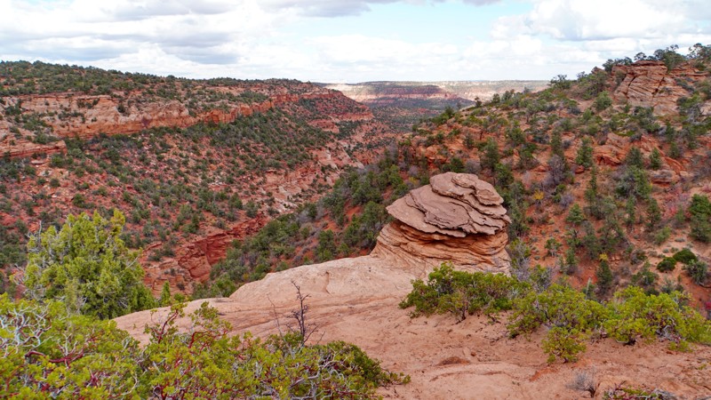
The Hell Dive Canyon is a scenic and challenging loop trail in the Moquith Mountain Wilderness Study Area, which accesses an overlook at the head of Hell Dive Canyon at the end of the primary spur. From there, you can hike to the site of the Hell Dive Pictographs in an alcove called Medicine Man Cave down in the canyon bottom.
The trail starts at a staging area off Hancock Road just east of Coral Pink Sand Dunes State Park. It starts easy and sandy, following BLM 50 along the base of the sand dunes, traveling past a steep sand hill and a more gradually sloping road that serves as entry/exit points to the open riding area on the dunes. The trail gradually gets harder and rockier after it passes the junction with the Indian Canyon Road, where the road number changes to BLM 51, and then climbs onto the ridge above Hell Dive Canyon. Near the loop's apex, you'll pass a legal spur on state land that goes out to an overlook of Coral Pink Sand Dunes and a second spur out to Ed Lamb Point that is legally closed to vehicles even though not signed as such. Turn right at the next junction to stay on BLM 51, the main spur out to the overlook of Hell Dive Canyon. This spur is mostly rutted sand with small rock obstacles.
Returning to the junction at the beginning of the overlook spur, turn right on BLM 52 to complete the loop. This section is the hardest part of the trail as it descends into Water Canyon and climbs out the other side. Several large ledge obstacles must be navigated while crossing the wash, though they are not significantly more difficult than those found on the rest of the trail.
Camping is technically allowed along this trail but not recommended as it is mostly within a Wilderness Study Area, and no established campsites exist.
Updated: 02/19/2024
Risky Biz
Hurricane, Utah
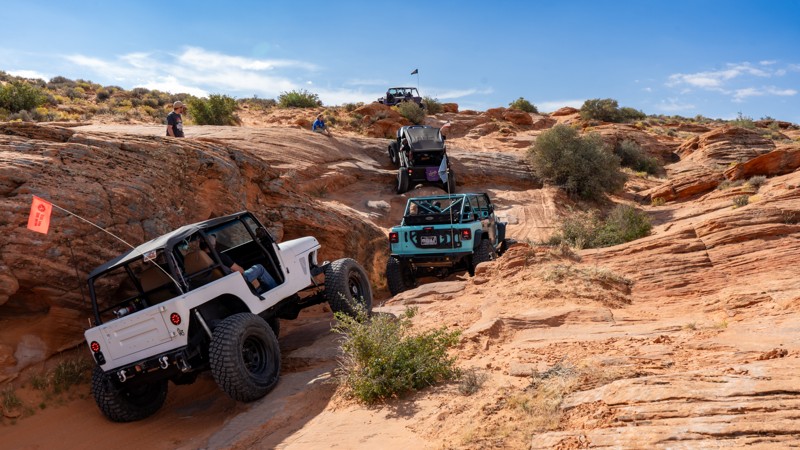
Located on the northern side of Sand Mountain, Risky Biz is an extreme 4WD trail that pushes the limits of your highway-legal vehicle with off-camber, flexy, slippery, and sheer wall obstacles. Like other trails on Sand Mountain, there are many options to complete this trail. Following the signs will offer a good challenge for vehicles of all makes and builds, and be sure to provide a good time exploring this incredible area.
Updated: 08/11/2026
Bountiful Canyon Skyline Drive
Farmington, Utah
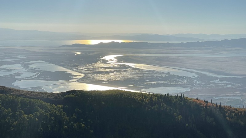
Bountiful Canyon Skyline Drive runs from the bottom of the valley to the top of the peak. This road gives amazing views of the canyon, valley, and towns below. Don’t be fooled by the pavement. After the first mile, it’s all dirt. The trail has some narrow sections, washboard, and lots of potholes. Two bridges cross the various branches of Farmington Creek. There are multiple pullouts where dispersed camping is possible. Bountiful Peak Campground is open seasonally as well.
Updated: 04/12/2024
Burch Canyon
Blanding, Utah
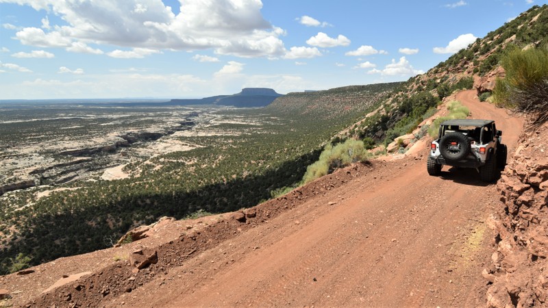
Located deep within the desert of southeastern Utah is the picturesque Burch Canyon Trail, an easy, but remote overlanding experience. The trail follows the scenic north rim of the Natural Bridges National Monument boundary all while offering panoramic views of the white rock canyons below. The trail has plenty of camping along the route that guarantees a quiet night under a star-filled sky. After traversing along the edge of the rim that climbs even higher above the canyons, you'll then join with Woodenshoe Trail, another scenic trail that leads to even more adventures.
Updated: 04/13/2024
Cottonwood Canyon Road
Green River, Utah
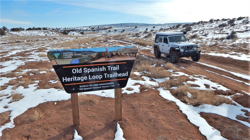
Travel along the trail of the early settlers, and discover petroglyphs, all while taking in the natural beauty of Cottonwood Canyon Road. This easy desert trail runs along the rugged western edge of the San Rafael Swell, traveling past natural rock formations that were used to help guide travelers following the Old Spanish Trail. Head Rock is one of those, and even though it's all-natural, it looks as if it was chiseled by hand a long time ago. Ancient history prevails with amazing petroglyphs that you have to earn the view seeing the Native American artwork up close by taking a short hike and having a keen eye. Take your time and find all the hidden art pieces, but please do not touch them. Connecting this route with Green River Cutoff and then Buckhorn Draw Road makes an easy all-day historic landmark tour through The Swell.
Updated: 06/18/2025
The Wickiup
Green River, Utah
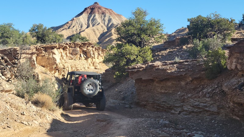
The Wickiups' red cone peak acts as a beacon on the San Rafael Swell landscape. Passing along the base of the colorfully layered mountain, this trail plots a course through desert junipers, pinyon pine, and several colonies of rare cacti. Eventually, the trail breaks out of the trees and opens to vast open plains with expansive views of the surrounding sandstone buttes and spires. The north end of The Wickiup connects with Oil Well Flat and many other scenic trails within The Swell.
The name "Wickiup' derives from the similarly shaped dwellings of early American Indians. The mountain is primarily made up of Sinbad Limestone, dating back to the Triassic era, approximately 200 million years ago. There is a quick but difficult "climbing" trail to the top of the peak.
Updated: 02/26/2025
Squaw Park (Dome Plateau)
Moab, Utah
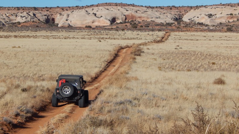
Part of the Dome Plateau Loop, Squaw Park is a leisurely scenic tour across tall grass meadows and towering sandstone cliffs with multiple caves to explore. Cave Spring is a unique natural feature where a natural spring drips out of the cave walls, creating a colorful oasis within the cliff wall. You'll want to plan extra time to hike up into the caves to see how far they go!
Updated: 04/10/2026
Barney's Overlook
Moab, Utah
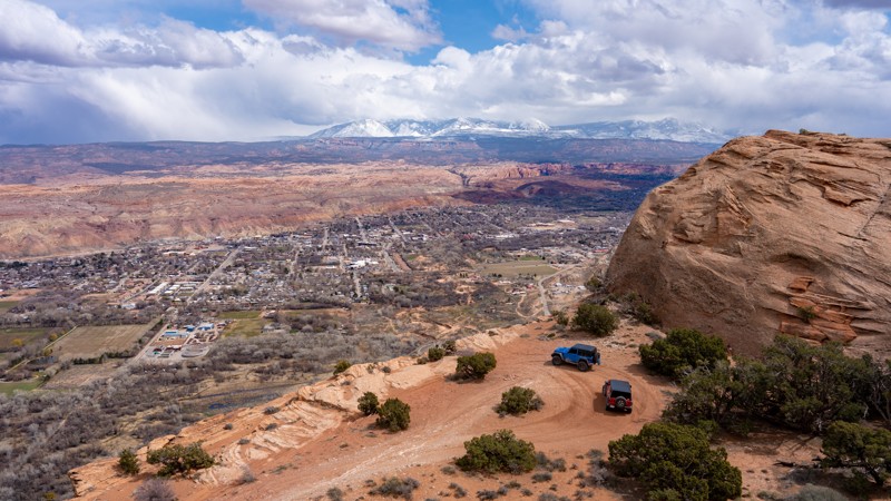
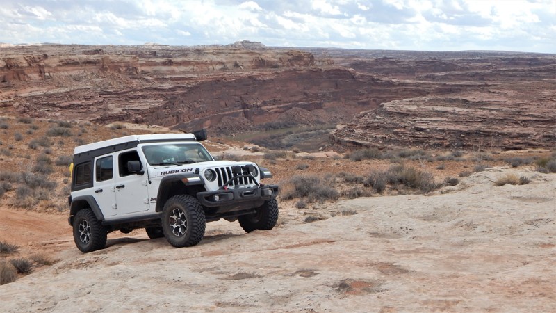
Barney's Overlook is a spur trail off the northeast portion of the Poison Spider loop that takes you to an epic campsite behind Pig Rock with an incredible bird's eye view of the downtown Moab Valley. The road to the two viewpoints along the cliff edge starts as a sandy trail but quickly transitions to a rough, slow, and rocky track across many small, jagged, slickrock ledges. Camping at the end is exposed to the wind depending on direction, but the ground is level. A few soft sandy spots will make for a great floor bottom for a tent.
This trail is suitable for any high clearance 4x4.
Updated: 06/14/2024
Locomotive Point
Green River, Utah
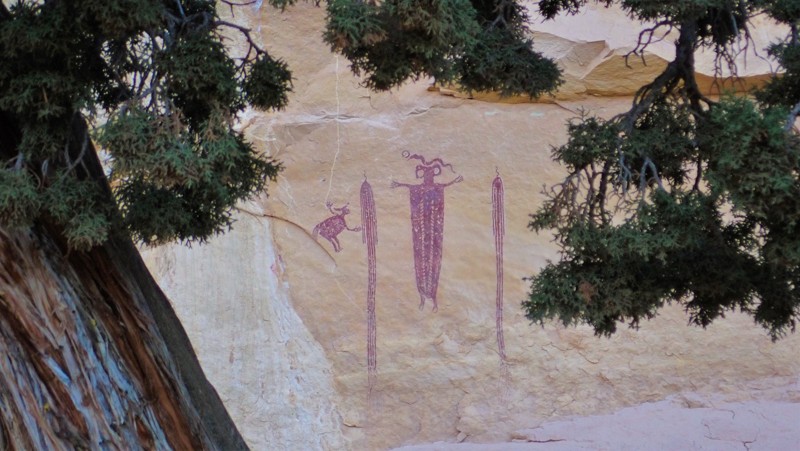
Nestled in the heart of the San Rafael Swell in central Utah, the Locomotive Point trail travels across the picturesque flats known as The Head of Sinbad. Besides the epic canyon camping, this trail has two worthy attractions. The Locomotive Point Pictograph Panel and the Head of Sinbad Pictograph Panel are painted on the walls of the towering sandstone formation for which the trail is named. These Barrier Canyon-style pictographs are estimated to be 1500 to 4000 years old. A quick diversion from the Interstate instantly transports you into a beautiful, rugged landscape with hidden gems around every corner.
Updated: 02/18/2025
10 Mile Point
Green River, Utah
Take a beautiful journey out to one of Moab's most breathtaking overlooks. 10 Mile Point starts as a maintained graded dirt road but ends on the rim, 400 feet above the Green River. The further you travel on this trail, the rougher it gets. There are several very bumpy sections, and towards the end, there is mild "rock crawling." You will need high clearance and possibly 4x4 for the soft sand or if you become high centered on a rock. This area is remote and not very busy; go over-prepared—plenty of free camping along this route.
Updated: 04/22/2024
Dinosaur Tracks
Hurricane, Utah
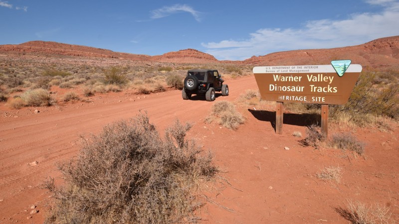
Located within the Warner Valley area of St. George, Utah, this preservation site is popular with year-round visitors for its easy access to an abundance of prehistoric dinosaur tracks. The trail leads to a parking area for the hiking trail that's about a 1/4 mile over small rolling hills. There are currently over 400 dinosaur footprints that can be found at the site. The quantity of exposed tracks varies on the amount of sand that's covering portions of the site. Some of the tracks are well preserved, displaying toe pads and claw marks. The larger tracks are from Eubrontes and the smaller tracks are from the Grallator. Keep in mind, it's impossible to know for certain which dinosaurs made these tracks. The terms Eubrontes and Grallator are groups of dinosaurs categorized together from their assumed characteristics based on their fossilized footprints. The tracks are from the lower Jurassic age, approximately 190 million years old. The impressions are in rock that's comprised of fine-grained reddish-brown and white sandstone.
Updated: 06/15/2024
Spring Canyon/Trial Lake
Kamas, Utah
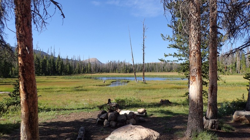
Tucked away in the Uinta Mountains in northeastern Utah, lies this treasure of a trail. Well known by locals, Spring Canyon/Trial Lake provides access to numerous adventurous activities that can keep you busy for days. Although a non-technical trail, you will sure to be excited as you wind your way past plenty of spur roads that take you deeper and deeper into the forest. If water sports are up your alley, there are quite a few lakes in the area that provide calm, cool waters for kayaking, paddleboarding, and great fishing. If you are up here for camping, this is also the trail to start on, as there are hundreds of spots in the area providing everything from large group sites to pure seclusion. Whether you are looking for a few hours of fun or a week-long adventure, this is the area to be!
Updated: 05/01/2024
Strawberry Point
Cedar City, Utah
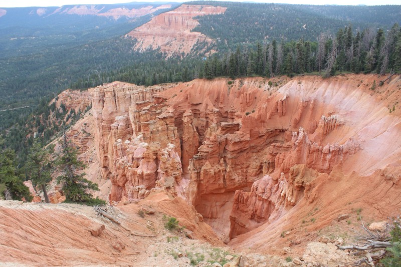
The easy access and amazing views at the end at Strawberry Point make this a wonderful trail. The views are similar to what you would see at Cedar Breaks National Monument. Make sure to bring your camera to capture sights and even bring lunch for a picnic. Early in the route, you'll easily travel through a vast meadow where you can often view grazing wildlife. The trail connects with several other trails that travel to tree covered primitive campsites. Connecting this route with Strawberry Ridge, Duck Creek makes for a truly enjoyable loop through a dense forest.
Updated: 10/02/2023
Silver Island Mountains Back Country Byway
Wendover, Utah
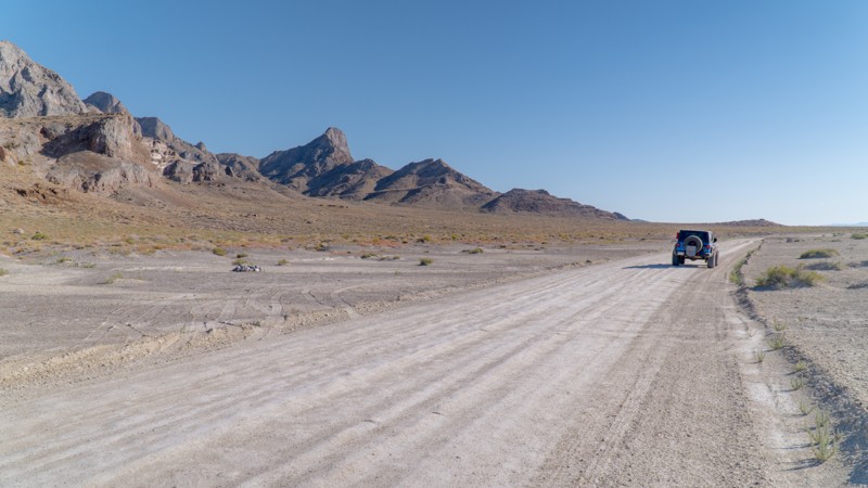
Circling the mountains that rise behind the iconic Bonneville Salt Flats, the Silver Island Mountains Back Country Byway provides the perfect opportunity to turn a visit to the salt flats from a day trip into a weekend adventure. Dispersed camping speckles the first 14 miles of the loop and is popular among groups and solo campers alike. If you're feeling extra adventurous, explore the area caves formed by wind and water tens of thousands of years ago when the mountains were an island surrounded by Lake Bonneville. The Silver Island Mountains Back Country Byway also accesses the historic Hastings Cutoff of the California National Historic Trail. The infamous Donner-Reed party passed through the area on September 2, 1846, on their grueling journey to California, having lost 36 oxen and several wagons.
The Bonneville Salt Flats, a 30,000-acre expanse of hard, white salt crust on the western edge of the Great Salt Lake basin, are a remnant of prehistoric Lake Bonneville that covered over one-third of Utah from 10,000 to 32,000 years ago. Today, the Salt Flats are a BLM special recreation management area open to the public and motorized vehicles and even hosts the annual Speedweek land speed races.
Driving on the Bonneville Salt Flats when wet and camping directly on the Salt Flats is expressly prohibited by the BLM, as stated on the Salt Flats website and signage posted on the Bonneville Speedway Access Road. Please respect management agency regulations and help to protect the top layer crust of the Salt Flats for many decades to come.
Updated: 06/15/2024
Bear Lake Summit Trail
Laketown, Utah
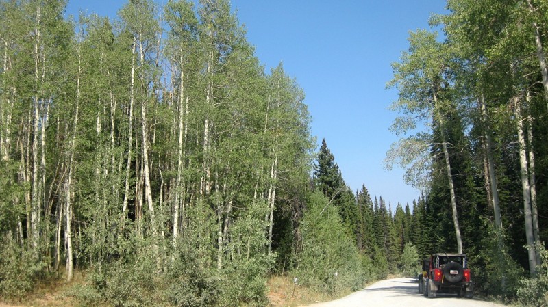
Located in the Bear River Mountains, this beautifully scenic byway serves as the main vein for several connecting trails. The road is lined with a mixture of thick pine and aspen trees. These mountains are home to a large population of deer, elk, and moose. Free range sheep may also be crossing the road, so be cautious of your speed. There are plenty of excellent choices for dispersed camping along the way. Whether you are in a tent or a 40+ft. trailer, you can retreat to a cozy spot just off the trail.
Updated: 06/30/2025
Fins and Things Alternate (Fin)
Moab, Utah
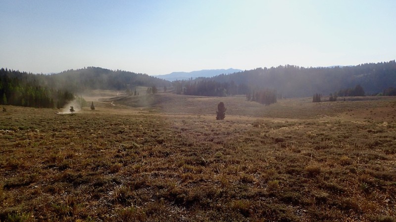
One of the many options on Fins and Things, this alternate track ramps up the excitement with a tricky descent down a razor-edge fin. Suitable for experienced drivers with capable vehicles and should not be attempted in slippery conditions.
Updated: 06/15/2024
Peter Sinks Trail
Garden City, Utah
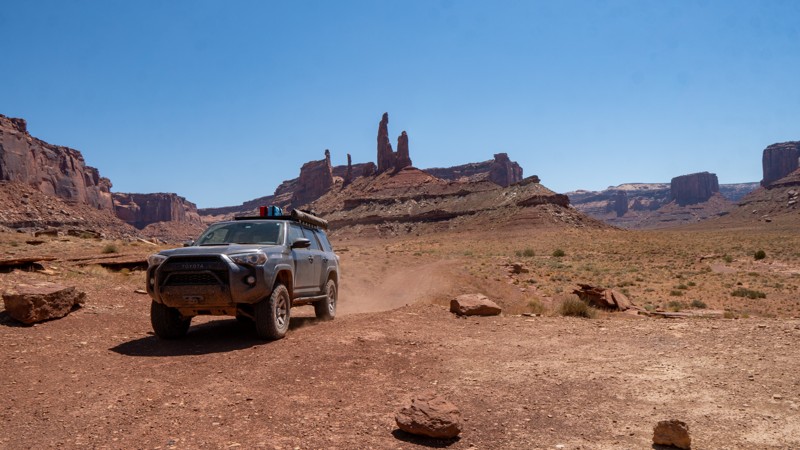
Peter Sinks Trail is anything but just "another trail" in the Uinta-Wasatch-Cache National Forest. Just a short drive from Logan, Utah lies this mysterious sink. Have you ever been below an anti-tree line? Have you ever felt below freezing temperatures in the middle of the warmer months? How about a drop of 15-20 degrees in a matter of minutes? All of these interesting facts are what bring people to this incredibly odd location. Aside from the sinks themselves, this trail is one not to miss with views from Logan Canyon to Bear Lake. The trail winds through pine forest as you reach the highest point. Once you gain views of the sinks below, you will start your descent. Cruising through the valley gives you awesome views of the ridgeline that you were just on. Shortly after, you will climb back up to end the loop. This off-road trail is definitely one of a kind and is highly recommended if you are in the area. Combine it with other nearby trails for a fun weekend, or zip out for the day.
Updated: 06/20/2023
Taylor Canyon
Moab, Utah
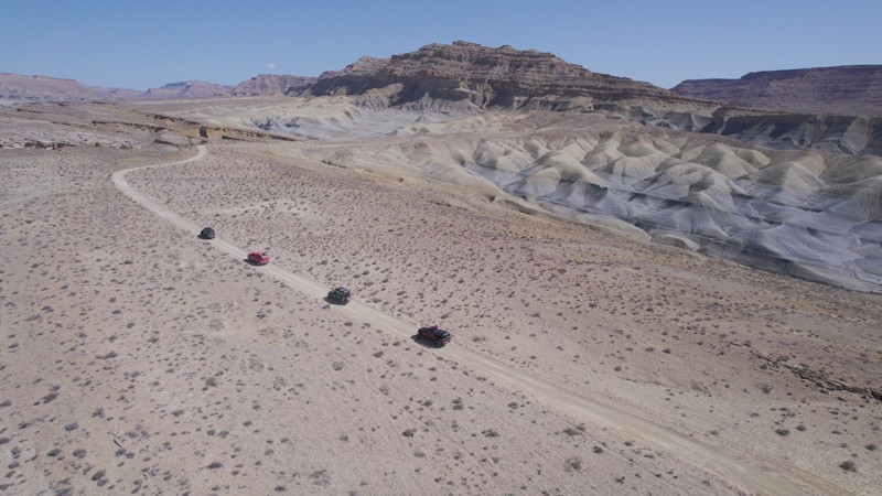
The Canyonland's Island in the Sky District lays an expansive landscape of many plateaus and cliffs that reach more than 1000 feet above the Colorado and Green Rivers that border on three sides. Within the area is Taylor Canyon, a relatively short, 5-mile four-wheel-drive trail with enormous cliffs towering over you every step of the way. The sheer size of the cliffs and plateaus can make you feel insignificant in comparison. Making you feel even smaller, is your grand prize at the end, two buttes named Zeus and Moses standing there talking with one another through eternity. Taylor Canyon is a great trail for a stand-alone outing or added in the iconic White Rim for a truly epic adventure.
Updated: 06/15/2026
Nipple Creek Road
Big Water, Utah
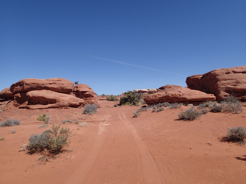
Nipple Creek Road is a beautiful drive up onto the Kaiparowitz Plateau. The beginner-friendly trail features amazing colors, unique geologic features, and views that look like they are from another world. There is camping available near the southern end of the Road. The site is very big and shaded in the evening.
Updated: 06/05/2022
Colorado River Overlook Alternate Route
Monticello, Utah
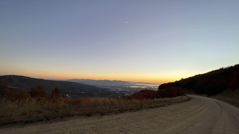
This is an alternate route to the Colorado River Overlook four-wheel drive road within the Canyonlands Needles District. It offers a quick trip to the cliffs overlooking the mighty Colorado River. The Overlook is the easiest of backcountry roads within the Needles District, which has over 50 miles of roads which all lead you through the natural wonders of the area. This road takes you through the high desert with wide open views and it ends with an amazing view of the Colorado River and its associated canyons. This return route gives you a different perspective from the way you came in.
Updated: 05/20/2026
Ward Canyon
Centerville, Utah
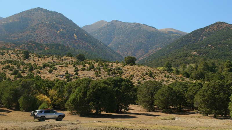
Ward Canyon runs from the bottom of the valley to the top of the peak. This road gives amazing views of the canyon and of the valley and towns below. The road has some narrow sections, washboard, and lots of small potholes. There are several nice campsites along the road. The Old Ward Canyon trail spurs off of this road. Ward Canyon, Bountiful CG Skyline, and Bountiful Peak can be combined for a fun and scenic dirt road drive from Bountiful to Farmington.
Updated: 10/11/2023
Crescent Creek
Hanksville, Utah
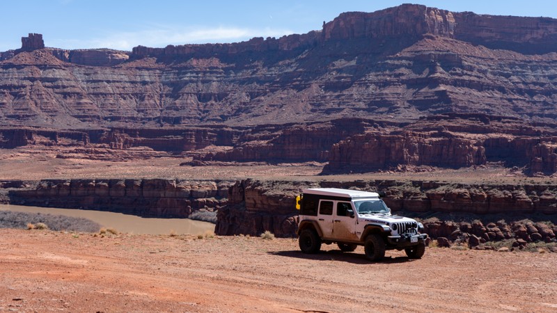
Crescent Creek is the eastern gateway to the ruggedly beautiful Henry Mountains of southern Utah. The lower portion of the trail highlights the multi-hued sandstone layers that Utah is famous for. Following its namesake creek, the trail offers lots of campsites in the shade of cottonwoods. Climbing higher, the barren sandstone desert gives way to junipers as the Henrys loom larger on the western skyline, the peaks of Bull Mountain, Mount Ellen, Ragged Mountain, Pennell Mountain, and even the Horn pop in and out of view. Two old cabins along the way remind us of how hardy early settlers in the area must have been. The juniper grudgingly gives way to the pines, spruce, fir, and aspen of the Henrys' alpine forests. Shy deer peek out of the shaded forest as you drive by. The cool of the mountains begs you to roll down the windows and soak in the pine-scented air. Don't forget to look behind you at the canyon cut into the sandstone beauty below. The trail ends at an intersection with Copper Ridge and Bull Creek Pass. Either will transport you deeper into the remote Henry Mountains and even more adventures and beauty. Welcome to the Henrys. Enjoy.
Updated: 01/20/2026
Pyramid Butte
Moab, Utah
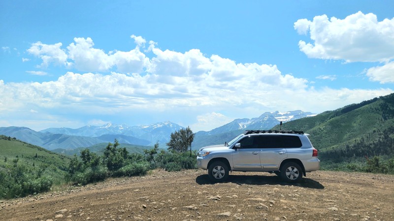
From Potash Road, Pyramid Butte travels to the edge of the Colorado River, where you can see across to Chicken Corners. The road is primarily soft dirt and would be difficult in wet weather due to mud. A few patches of rocky soil are filled with goofball to baseball-sized rocks. Interestingly, patches of prickly pear cacti and sand dunes are built up against its namesake, Pyramid Butte. No camping is permitted.
Updated: 08/11/2026
Cummings Parkway Road
Charleston, Utah
Cummings Parkway Road is a stunning 2200-foot ascent into the Wasatch Mountain State Park overlooking Heber Valley. While generally an easy to moderate trail, the nearly 8-mile trek demands attention as almost every mile is rocky and contains steep shelf roads, not to mention the 360-degree breathtaking views of the mountains and valleys in the area. If properly outfitted, airing down tires is a big plus for comfort and to save wear and tear on suspension components. There is very little camping directly on the track itself. Offshoot trails have beautiful options for dispersed camping. Be on the lookout for OHVs, as this trail gets moderately busy on weekends and holidays.

Upgrade your Membership
Unlock all of the details on every Trail Guide and Scout Route.
Start a 7-day Free TrialBrowse Trails in Utah by City
Browse every Utah city with offroad trail guides.
Community
Partners

