













By clicking "ACCEPT", you agree to be the terms and conditions of each policy linked to above. You also agree to the storing of cookies on your device to facilitate the operation and functionality of our site, enhance and customize your user experience, and to analyze how our site is used.
Colorado Off-Road Trails
602
Total Trail Guides 575

6450
Detailed Waypoints 568
Try a Free 7-Day Trial and unlock it all
Start a Free Trial Most Recent Trail Reviews
Rated 5/5
Open
Visited: 09/25/2026
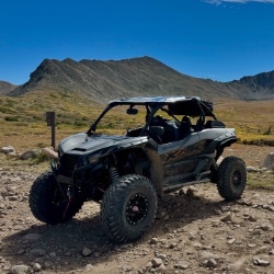
Pretty views but mostly overcast the whole time. No snow up here like there was over at engineer. Bathrooms are closed.

Tyler
Rated 4/5
Open
Visited: 09/25/2026
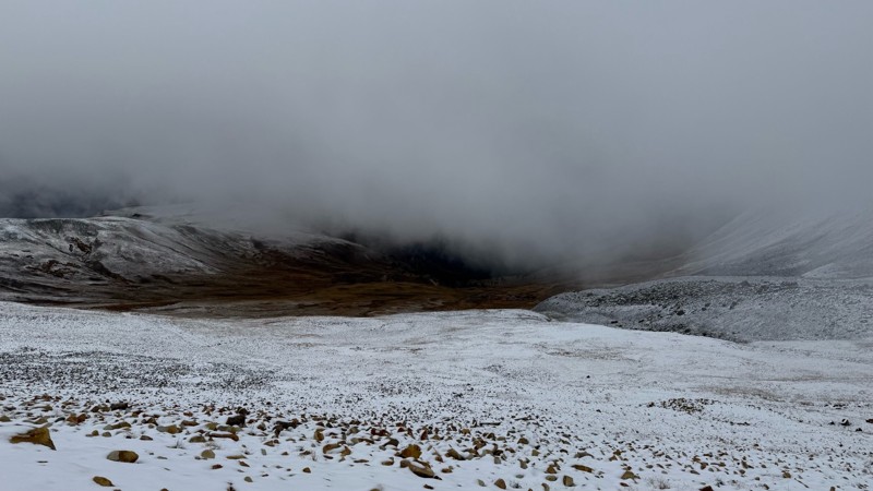
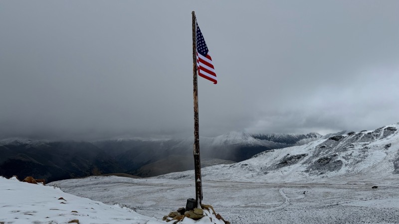
Pretty bumpy with some more rough spots near the top. Has been mostly overcast due to the storms lately. Decent amount of snow up at the top.
Tyler
Rated 5/5
Open
Visited: 09/25/2026
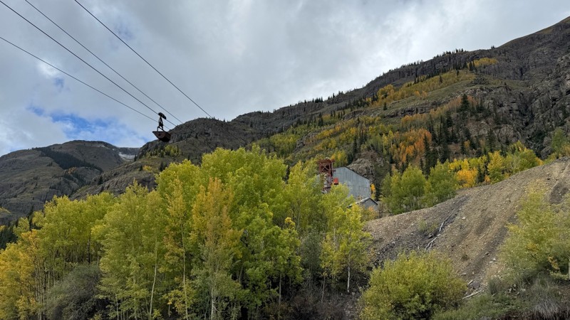
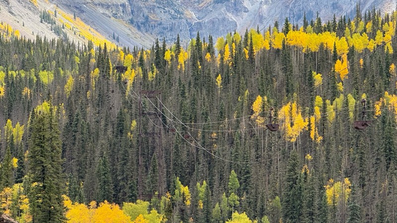
Beautiful fall colors, waterfalls and mining sights. Easy road till you get closer to the pass.
Tyler
Rated 5/5
Open
Visited: 09/24/2026
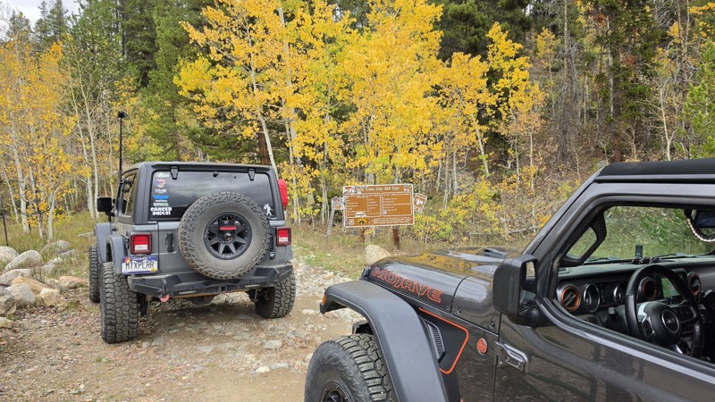
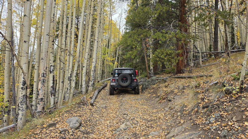
Amazing! Maybe my new favorite trail, at least in Colorado. It was a perfect fall day and no other vehicles on the trail. A bit wet and misty added to the challenge. Pulled line twice mostly because o...

Corey Charlick
Rated 5/5
Open
Visited: 09/24/2026
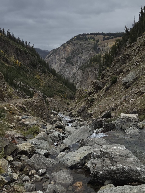
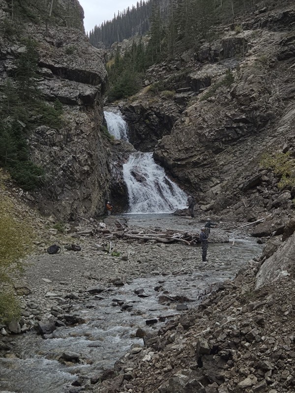
Schofield's reputation is well earned. The shelf roads were sketchy in a few spots, but they were wider than I expected. I was traveling north to south.
Flying solo I was more sketched out for th...
CH
Chris Hebner
Rated 5/5
Open
Visited: 09/24/2026
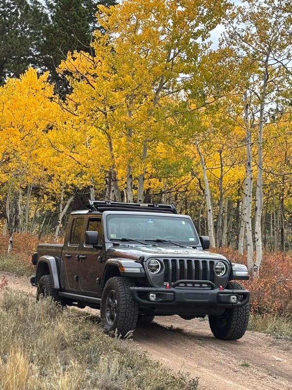
Fun easy trail with great views. Caught the aspens peaking.
LL
Louis L
Rated 5/5
Open
Visited: 09/23/2026
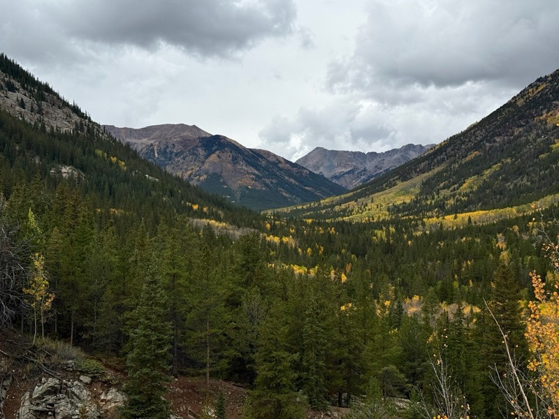
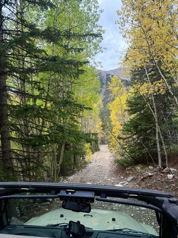
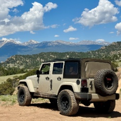
This was a nice trail with little difficulty but plenty to offer between the creek crossings, peaceful forest, good views, and an awesome lake a short walk from the end.
Normally an “Optional” diffic...
Josh
Rated 4/5
Open
Visited: 09/23/2026
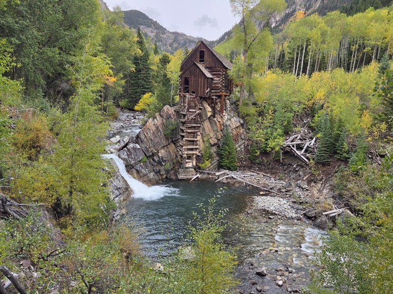
BUMPY!!! Don't let the 2 rating fool you. The trail isn't at all difficult, but it is bumpy! I arrived in the area in the afternoon and thought I'd take a quick trip up to check out Crystal Mill. ...
CH
Chris Hebner
No Rating
Open
Visited: 09/23/2026
Great medium level drive. Allow time to get to trail head as the washboard getting there is rough. It was worth it though.
KE
Keith Early
Rated 5/5
Open
Visited: 09/23/2026
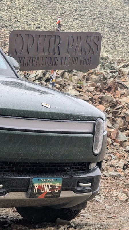
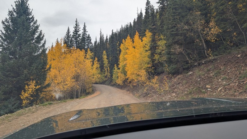
nice trail with good views. a classic in the San Juans... it's not quite as easy as 2 but not a true 3 either. Totally doable with a stock 4WD.

Mustafa ParDane
Official Crew
Rated 5/5
Open
Visited: 09/23/2026
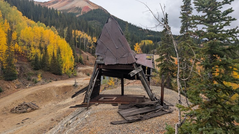
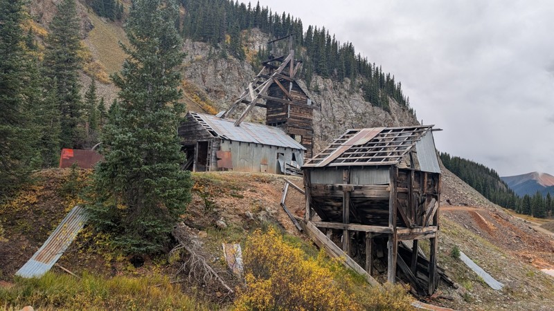
Nice fun easy trail! You will see lots of mines. I mean lots of them. If you are into it, this is the trail for you :)
Mustafa ParDane
Official Crew
Rated 5/5
Open
Visited: 09/23/2026
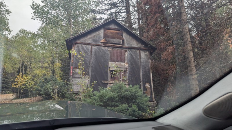
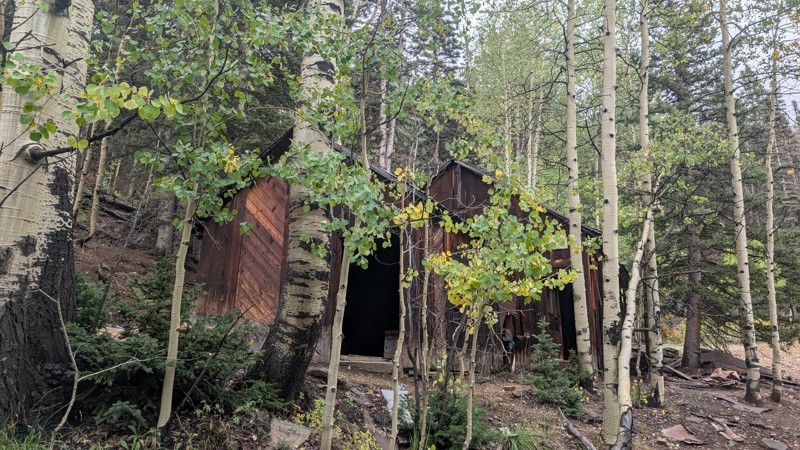
It's a steep climb all the way from the beginning to the top but there is no real obstacles. You will see some cool mines. And the views are awesome. You will see some good views of the Red Mountain p...
Mustafa ParDane
Official Crew
Rated 5/5
Open
Visited: 09/23/2026
We frequent this route probably once a week from GoG to Woodland Park. Be very careful on the blind curves - no shortage of knuckleheads driving way too fast (a biker was struck fatally in June). Us...
TC
Tim Crane
Rated 5/5
Open
Visited: 09/22/2026
Scenic road connecting to other alpine loop trails. it's not very technical or hard. but if you don't prefer shelf roads, maybe that can be considered hard. Red Mountain peaks are awesome. the scenery...

Mustafa ParDane
Official Crew
Rated 5/5
Open
Visited: 09/22/2026
Besides the shelf roads, there is not other bug obstacle or anything technical. As always, it has really good views :)


Mustafa ParDane
Official Crew
Rated 5/5
Open
Visited: 09/22/2026
Views are awesome as always with any alpine loop trails. There is a very short hike at the summit that takes you to even higher point with better views. Lake Como looks very good from there.


Mustafa ParDane
Official Crew
Rated 5/5
Open
Visited: 09/22/2026
Started from Lake City as most people recommend running the alpine loop clockwise. I think that was a wise choice because I didn't have a lot of ongoing traffic. The views are awesome and they start r...


Mustafa ParDane
Official Crew
Rated 5/5
Open
Visited: 09/22/2026
Tough trail, lots of technical spots throughout. Dont attempt solo or with any kind of stock truck!


Greg Dermann
Rated 4/5
Open
Visited: 09/22/2026
Just a dirt road with lots of potholes. Nothing technical. Drove this up to the 401 Trailhead to bike. Pretty busy with folks camping and leaf peeping. Overall it is in a pretty area and theres good c...



Davis McPherson
Rated 4/5
Open
Visited: 09/22/2026
Ok I have not run that trail in the last 4 years. I don't recall it looking like the photos. Did it recently get this way (rock garden) and get the difficult rating?
C
coyoteslocos
No Rating
Temporary Closure
Visited: 09/21/2026
Sign at the bottom of the hill says road construction but when you get to the turn off it is blocked.
PD
Paul Dixon
Rated 5/5
Open
Visited: 09/21/2026
Ran the trail from Westcliff side over the pass and into Great Sand Dunes NP. Had great weather. Don't think it had rained much in the days prior. So, the trail was dry. Think the difficulty ratin...



Stephen
Rated 5/5
Open
Visited: 09/21/2026
Id put it at a 3 some larger rocks mud and shelf roads: beautiful trail. Highly recommend.


Brian mckie
No Rating
Open
Visited: 09/21/2026
There is an area towards the end of this trail not long before it opens into the meadow that is very shaded and has become a mud hole. Well, somebody with a vehicle not capable enough to get through i...

Curt Greeley
Rated 5/5
Open
Visited: 09/20/2026
Ran this trail for the first time on 9/20/26. Absolutely stunning views and the leaves were almost at peak. This might be my new favorite trail to run during this time of year. Not difficult, but long...



Jack Mackie
Rated 4/5
Open
Visited: 09/20/2026
I wanted to run this trail on my way out from the gulches area but when I got down to the first stream crossing it had a few large logs placed in it. Im not sure if this is for traction or what, but I...
Jack Mackie
Rated 5/5
Open
Visited: 09/20/2026
First time out here and I ran this alone on 9/20/26 coming back from Old Stage 220. Took Sportsman Rd to get to 220 so I decided to take this to trail to get back to Cedar Mtn Rd. This is more fun tha...
Jack Mackie
Rated 5/5
Open
Visited: 09/20/2026
This is one of my favorite trails. I like to start at St. Mary's and run it in reverse lf this trail guide. I prefer to take most of the steep sections downhill, but if you want a fun challenge, then ...


Tim
Rated 5/5
Open
Visited: 09/20/2026
Ran this on 9-20-26 up to the Phoenix rocks. WK2 3" lift on 33's. Never been in this area before but I have read many of the reviews on here about the gulch trails. I was alone and the phoenix rocks w...

Jack Mackie
SH
Sharon Hansen
Rated 5/5
Open
Visited: 09/20/2026
Maiden voyage for my stock suspension 1994 Wrangler. The trail was surprisingly rocky in the beginning. Beautiful views and not too much traffic.
SH
Sharon Hansen
Rated 2/5
Partially Open
Visited: 09/20/2026
While there were some aspen views, this is not the best place to find them. Most of the views of the surrounding area are obscured by pine trees that are close to the road. Many of the overlooks are o...
MG
Mike Gerdts
Rated 4/5
Open
Visited: 09/20/2026
We enjoyed the trail. Beautiful scenery. Definately narrow in some areas. The terrain itself wasn't so difficult. Clearence is needed for some of the rocks in the trail.


Lisa Johnson
Rated 4/5
Open
Visited: 09/19/2026
Ran it in a 157"WB F150 on 33's, and would probably run it in a passenger car. Great views, easy climb and the switchbacks were totally navigable in a fullsize. Some of the roads on top are more app...
J
Justin
Rated 5/5
Open
Visited: 09/19/2026
The last descent at the end is kind of muddy so take it extra slow.



Joshua Scurran
Rated 5/5
Open
Visited: 09/19/2026
Ran east to west. The ascent at waypoint 14 has been cleaned up considerably - not sure if this was the work of the recovery crew we passed who were headed up Mt Baldy road, but it was much less rocky...

Jeff Dew
JG
Joseph G Botthof III
No Rating
Temporary Closure
Visited: 09/19/2026
Following up on Ryan's post, multiple incidents have occurred of vehicles sliding off the trail at washouts. CO4x4RNR was up yesterday recovering a vehicle, and we were told the trail will remain clo...

ERIC D BROWN
Rated 5/5
Open
Visited: 09/19/2026
Epic views at the top make this in and out road a must see on my list. Shelf roads with a few areas for passing. Switchbacks and 12"-18" boulders in only a few places to navigate. 4wd and good clearan...



Desi
Rated 5/5
Open
Visited: 09/19/2026
Expect closures Sept 21-24 for pipeline maintenance starting near the trestle. Perhaps related, there’s a rusty 4-6” pipe sticking out of a puddle near the trailhead at the top.
It’s been a bit rai...

MG
Mike Gerdts

Kirk Kneezle
Kirk Kneezle
Kirk Kneezle
WH
William Harkcom
Rated 5/5
Open
Visited: 09/18/2026
Great trail. Lots of fun, great views. Loved all the rock outcroppings.



Jessica H
Rated 5/5
Open
Visited: 09/18/2026
Short but fun. Right mix of technical and scenic. Ran this with Solitude Creek. Great views but that initial climb looked daunting but once you get into it wasn’t that bad.


Jessica H
No Rating
Temporary Closure
Visited: 09/18/2026
Forest Service has closed the trail due to washout damage. No ETA yet on fixes or reopening.


Ryan Boudreau
Official Crew
No Rating
Open
Visited: 09/18/2026
Only drove it to the Chinns Lake cutoff, but that part was in great condition. They've recently laid down new gravel on the lower portion in the neighborhood, it is super smooth.
S
Scott
Most Popular

Updated: 06/29/2026
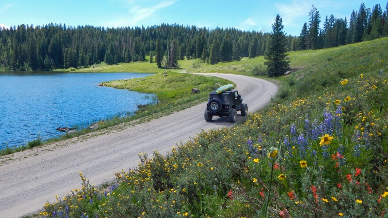
123 Grand Mesa
Grand Mesa, Colorado
Covering over 500 square miles, Grand Mesa is the world's largest flat-top mountain. Being so flat, an extensive collection of lakes dot the landscape. Each of these lakes is unique, having its own camping and fishing. Forest trail 123 branches of the pavement, easily climbing up the southern side of the mesa. The road has washboards and blind corners but can be completed in 2WD. You'll travel through a dense aspen and pine forest with numerous free campsites on the easy connecting trails traveling to another hidden lake.
Updated: 10/15/2025
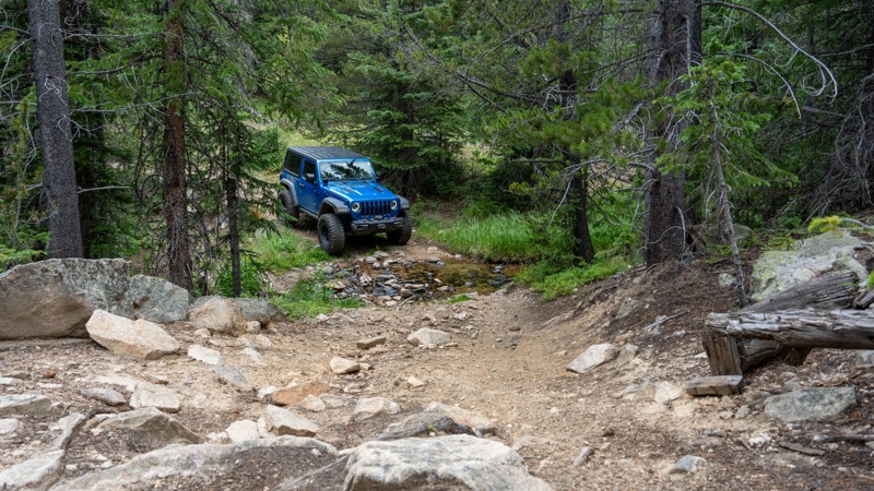
Guinn Mountain Spur
Tolland, Colorado
Guinn Mountain Spur is a short, dead-end spur road off Jenny Creek that ends along the Guinn Mountain hiking trail. It is a tight, technical, and rocky trail with tightly encroaching pine trees that limit the width of vehicles willing to travel it. It is best suited for narrow vehicles such as UTVs, ATVs, and older jeeps. Users will be required to traverse watermelon and beachball-size rocks that can easily snag differentials and low-hanging undercarriage parts. The trail passes a few dilapidated cabin structures, crosses a creek, and has two sub-par campsites along the drive. Be careful at the end of this trail as the closure gate has been cut down, and it is easy to end up on the non-motorized hiking trail.
The primary purpose of this trail is likely an access trail for firefighting, EMS, and SAR operations.
Updated: 07/15/2026
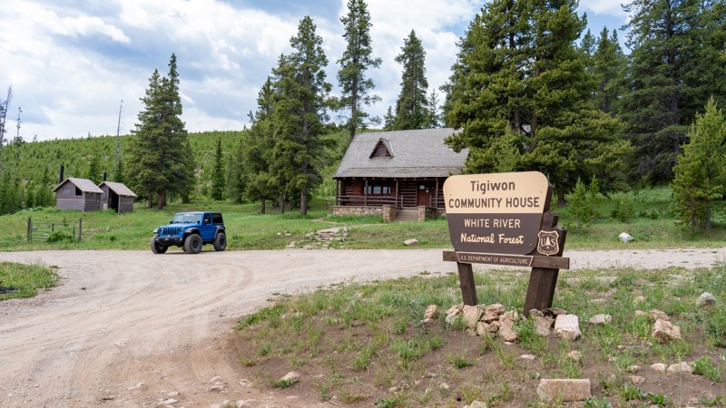
Tigiwon Road
Minturn, Colorado
Climbing from the Eagle River Valley near Minturn into the heart of the White River National Forest, Tigiwon Road delivers a memorable mountain journey through sweeping aspen groves, dense evergreen forest, and increasingly rugged alpine terrain. The winding, sometimes rough drive feels wonderfully removed from the nearby resort towns, eventually reaching the edge of the Holy Cross Wilderness, where secluded camping and trailheads leading toward some of Colorado’s most iconic high-country scenery invite travelers to slow down, explore, and discover what lies beyond the road.
Updated: 07/14/2025
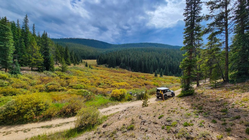
Cooper Loop
Leadville North, Colorado
Starting at the Cooper Ski Resort and connecting to East Tennessee, Cooper Loop is a 2.3-mile long mountain road that loops halfway around Cooper Hill. The road travels through thick forest and ends at a breathtaking meadow as you cross over East Tennessee Creek and converge with East Tennessee Road. There is no camping along this road, but the road does travel past the Tennessee Pass Sleep Yurts, which can be rented through their website. This road also accesses the Tennessee Pass Cookhouse. The road is rough, rocky, and bouncy on the western half, with small rocks and abundant potholes. A stock-clearance SUV or pickup truck is highly recommended.
Updated: 08/11/2026
4th of July Road
Eldora, Colorado
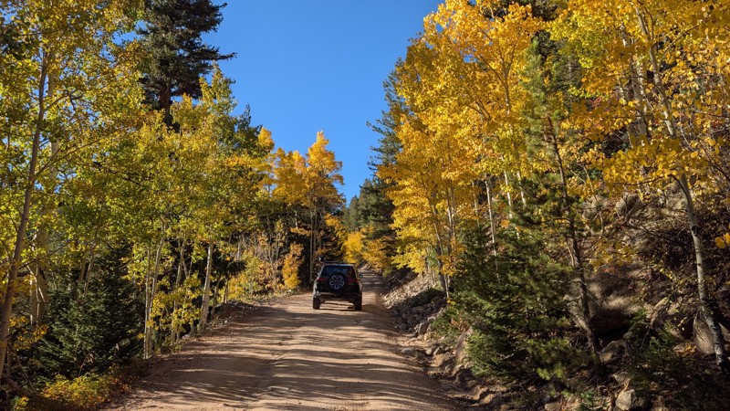
4th of July Road is a scenic, easy drive that winds west from Eldora into the Indian Peaks Wilderness, making it one of the most popular access routes in the area. The road is generally 2WD-friendly, with only a few shallow washouts that are easily managed with careful driving. Along the drive, the scenery steadily improves, with aspen groves putting on a brilliant show of color each fall and a small waterfall visible around the 1.6-mile mark, adding to the charm.
The road ends at a large parking area that serves as the trailhead for the popular 4th of July hiking trail. Just before the end, you’ll also find a small forest service campground with several sites, including at least one ADA-reserved spot. With its easy access, light challenges, and excellent scenery, 4th of July Road is a great choice for casual drivers, hikers, and anyone looking for a simple route into the high country.
Updated: 07/06/2026
Crystal Road
Creede, Colorado
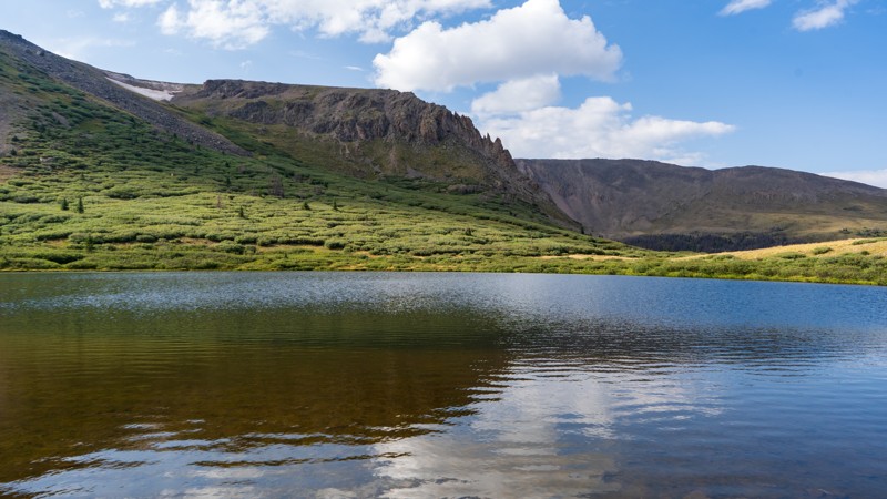
Crystal Road is a bumpy out-and-back trail to its namesake, Crystal Lake. The trail has a few minor obstacles consisting of embedded rock in packed dirt. High clearance is necessary, but 2WD is sufficient under normal conditions. The lake at the end is peaceful and secluded, providing a few small options for camping but nothing for more than 1-2 vehicles in any one spot.
Updated: 05/13/2025
Transmitter Road
Rock Creek Park, Colorado
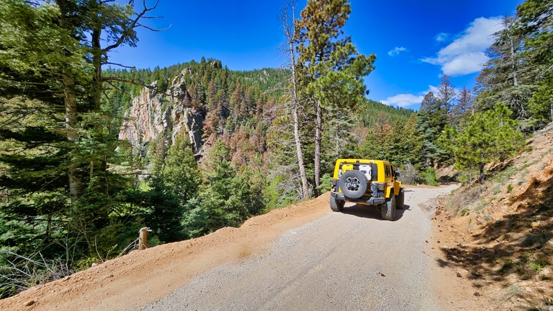
Transmitter Road is a dead-end trail along the southern base of Cheyenne Mountain. This trail provides a quiet reprieve from the bustling Old Stage Road and can be traveled by any vehicle. While the trail may not boast dramatic scenery, it offers a pleasant diversion for those seeking a more secluded route. Camping is permitted according to the MVUM, but potential campers should know that the trail is narrow and interspersed with private and government-owned properties. Additionally, no established sites were seen along the way.
Updated: 09/23/2026
Kezar Loop Road
Powderhorn, Colorado
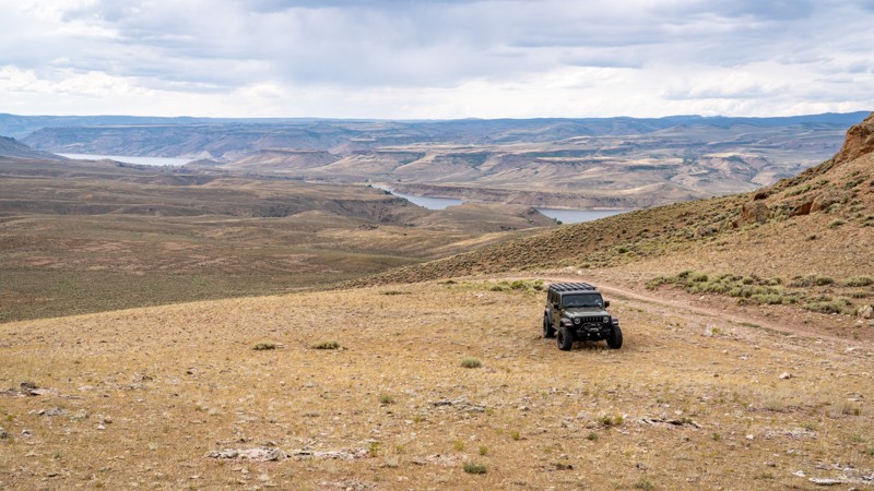
Kazar Loop Road is a scenic and remote trail cutting through BLM land. It offers nearly nonstop views, including distant views of Blue Mesa Reservoir. Several spur roads branch off toward old mines, ranches, and trails that eventually lead down to the lake. Vista camping spots are scattered throughout the southern portion of the route, offering fantastic sunset views.
The road is best suited for high clearance 4x4 vehicles. Two long, steep hills with loose rocks must be climbed and descended, along with a rocky ledge section. Clockwise travel involves climbing the ledges; counterclockwise means descending them.
The trail is rough and narrow in places, with ruts and loose rock. When wet, the mud becomes slick enough to cause vehicles to slide, even with four-wheel drive. Travel is not recommended in wet conditions.
While the route is remote, the effort is rewarded with wide-open terrain, quiet campsites, and nonstop views.
Seasonal Closures: This trail is closed to motorized use from March 15 through May 15 (or earlier if conditions warrant) to protect Gunnison sage-grouse and prevent road damage when muddy.
Updated: 06/28/2024
Texas Creek BLM Road 6055
Cotopaxi, Colorado
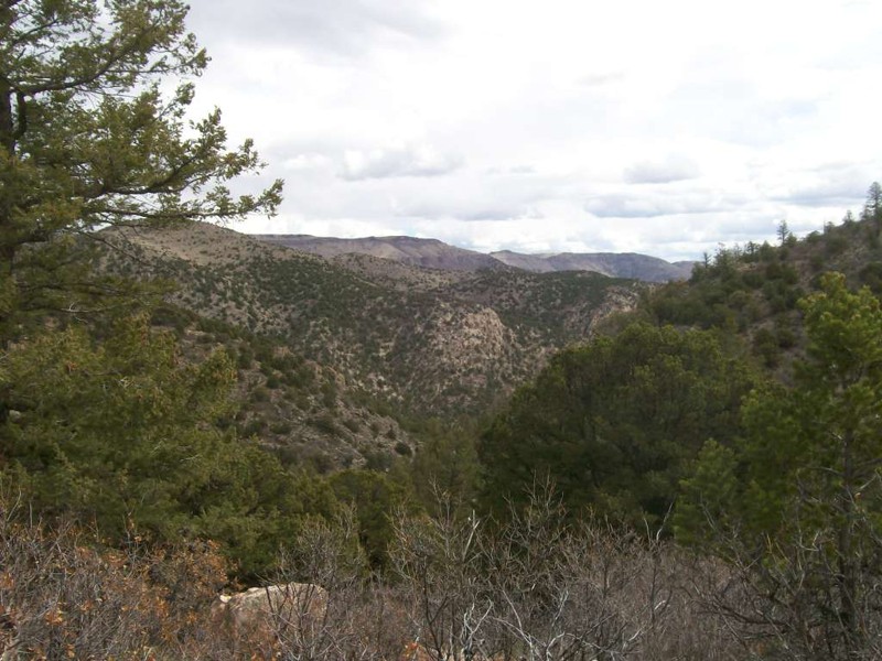
Deep in the heart of Texas Creek OHV Area, BLM Road 6055 takes you on a short excursion into the forest with some scenic valley and canyon views. This road features a clearing on a hilltop, providing an excellent group campsite. Further, there is a short spur at the end, BLM Road 6055A, which offers more camping seclusion for a small group of two or three rigs.
Updated: 12/01/2023
South Tennessee Mountain Spur
Rollinsville, Colorado
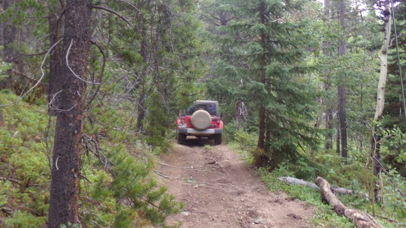
Situated on the west side of Colorado Highway 119 between the quaint little towns of Nederland and Rollinsville is a small network of hiking, mountain biking and 4x4 trails known as West Magnolia. Like much of the Colorado Front Range, the area is rich in mining history and abundant in scenic beauty. These easy-to-moderate four-wheel-drive roads can provide a quick outing or be strung together to make a whole day or more of fun in the woods. Its proximity to the Denver area and ease of access make it popular for day trips or short weekend jaunts. South Tennessee Mountain Spur is a short spur off of the Rollinville trail. It is a trail for those who enjoy squeezing their vehicle through less-traveled trails and don’t mind branches brushing their rig. It is very narrow and overgrown. It also features a very nice campsite at Waypoint 2. You can reach this campsite before the worst of the branch scraping.
Updated: 06/23/2026
Eagle Road
Olathe, Colorado
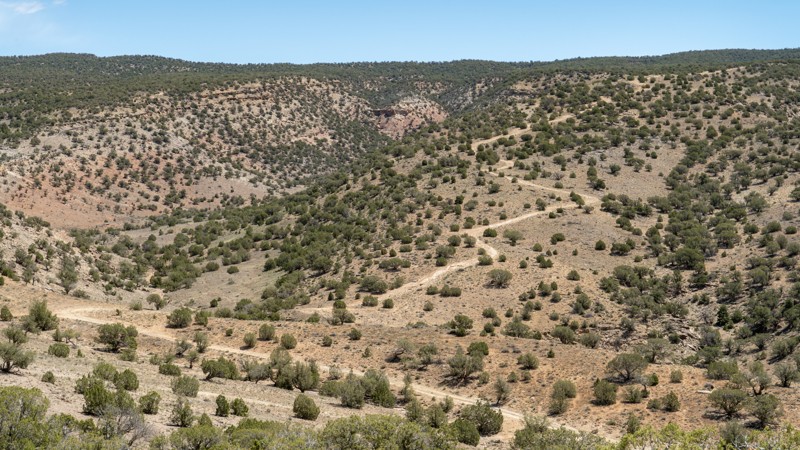
Located within the Flat Top–Peach Valley Recreation Area of the Gunnison Gorge National Conservation Area near Montrose, Colorado, Eagle Road delivers a classic high-desert offroad experience with rocky terrain, moderate hills, and wide-open views across the rugged Gunnison Gorge landscape. As part of the larger Wave - Eagle Loop, Eagle Road offers enough rough terrain to keep drivers engaged without crossing into true rock-crawling territory. Its primary appeal comes from the combination of backcountry scenery, multi-use access, and connection to a larger network of roads and trails that explore the pinyon-juniper uplands above the gorge.
Updated: 08/12/2026
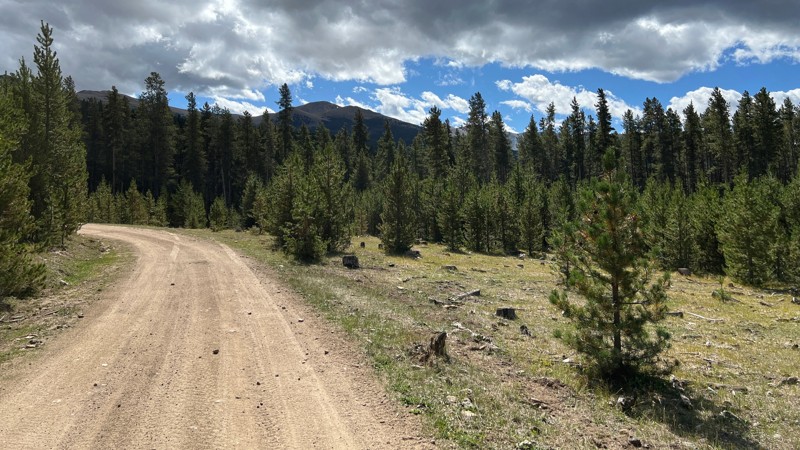
Resolution Mountain
Red Cliff, Colorado
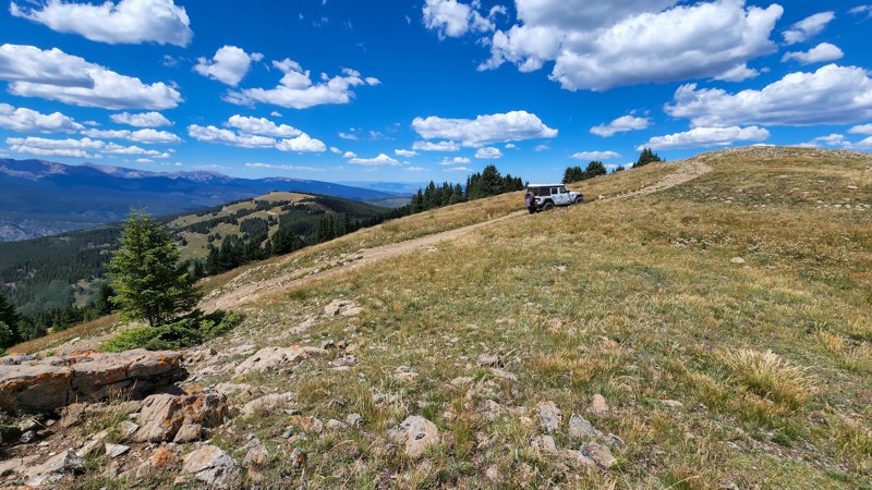
Resolution Mountain is a quarter-mile spur off McAllister Gulch up to the summit of Resolution Mountain at 11,905 feet. The trail climbs steeply and ends at a wide turn-around spot. The most difficult part of the trail is at the beginning, in the form of moderate erosion ruts. Straddle the ruts, and any high clearance vehicle with a low range will easily make the climb. Dispersed camping is allowed, but the terrain is uneven, and preestablished campsites are nonexistent or have done a great job of leaving no trace.
Updated: 06/23/2025
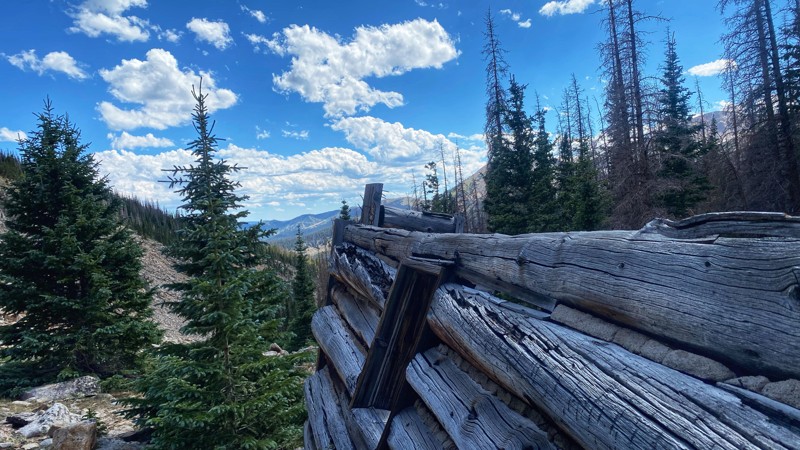
Burma
Abbeyville, Colorado
Burma is a quiet dirt trail in the trees separating Cottonwood Pass and Cumberland Pass. The trail begins at an easy-to-miss turn on Cottonwood Pass and ends at a campsite. Burma can also be combined with other trails to create an alternative route to the town of Tincup for drivers looking to stay off the pavement for as long as they can.
There are six obvious campsites along the trail, almost all in the trees with limited area views.
Under normal conditions, Burma is a dry and smooth dirt road. However, you may find muddy areas during the late spring/early summer and after recent precipitation. Any vehicle with a bit of clearance can easily drive this trail under normal conditions.
Updated: 10/15/2024
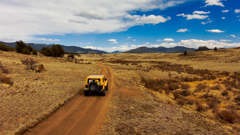
Hoffman Park
Garfield, Colorado
Hoffman Park is a short out-and-back spur trail off Middle Fork Trail. The route follows the drainage to near treeline and ends at a large alpine meadow overlooking the Middle Fork Valley. Near the remnants of several old cabins, there is a nice campsite at the end of the trail and a view of the main mine adit across the basin. The trail has tight switchbacks and rocky sections, making it suitable for stock 4x4 vehicles with high clearance and a low range. This route requires a Colorado OHV sticker.
Updated: 08/07/2023
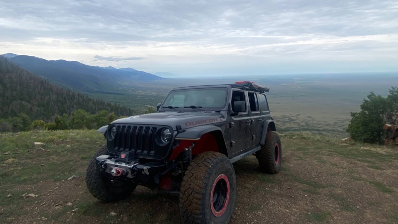
Berkey Road
Lake George, Colorado
Berkey Road, located on the fringe of Pike National Forest, is a tranquil trail that carves through the serene high-elevation prairie landscape. Part of the expansive Badger Mountain Trail Network, it doesn't offer testing terrain but compensates with splendid panoramic views and enticing camping spots. Strikingly secluded, Berkey Road guides travelers to the foot of the Observatory Rock summit, revealing breathtaking vistas in all directions. With its unique prairie scenery, this easy trail is a delightful addition to any day's off-roading or a perfect starting point for a broader exploration of the area.
Updated: 05/20/2026
Euclid Gulch
Villa Grove, Colorado
The Euclid Gulch trail is a short side trip off of Hayden Pass . The Hayden Pass Hang Gliding Club, Rocky Mt. Hang Gliding and Paragliding Association, and the Foundation for Free Flight have adopted and helped maintain the trail. The route climbs to the upper reaches of Euclid Gulch and ends at a hang gliding launch point. The views of the San Louis Valley from the end of the road are spectacular. The trail doesn't offer many dispersed camping opportunities, but there is one wide spot (see camping photo) near the beginning of the trail suitable for a campsite. Stock high-clearance 4x4 vehicles with low range can complete this trail.
Updated: 04/22/2026
Around Hill Road
Westcreek, Colorado
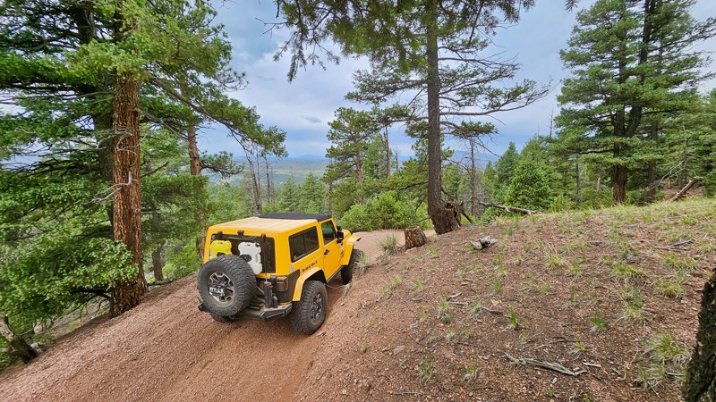
Around Hill Road provides a rugged trail experience with its narrow, rutted road and shelfy areas, providing some scenic views while connecting Missouri Gulch Road and Long Hollow Road. The route allows camping per the MVUM, though no established sites were seen.
Updated: 10/15/2024
Clark Spring Road
Jefferson, Colorado
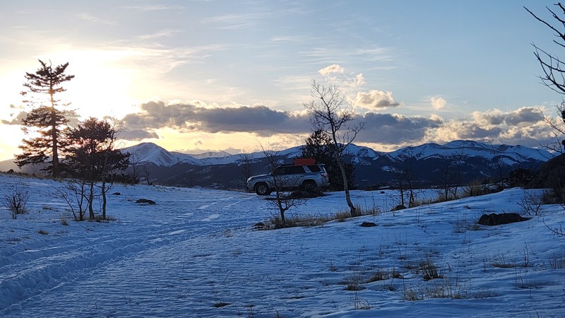
Clark Spring Road (FR 130) in Pike National Forest offers a 2.3-mile journey through the serene Tarryall Mountains northeast of Fairplay, Colorado. The trail, suitable for beginners and seasoned travelers alike, is characterized by rough terrain, muddy patches, and ruts due to infrequent maintenance.
The trail is a hotspot for campers and sightseers, thanks to its expansive dispersed camping areas and connection to other trails. Best experienced from late spring to fall, Clark Spring Road is an excellent choice for those seeking a mix of adventure and nature's calm.
Updated: 10/15/2024
Rangley Dragon Road
Dragon, Colorado
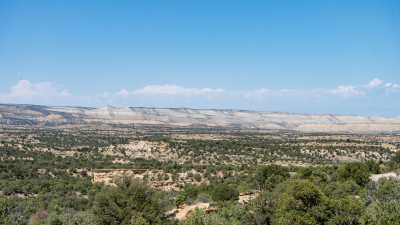
Rangley Dragon Road is a 16-mile trail on the western slope of Colorado. On its northern end, near Rangely, Colorado, it is also named Big Park Road. Maps show this road going all the way into Utah, but on its southern end, it is gated and private. The road is entirely maintained and easy to drive. It provides quick access to other roads in the area when on a longer-distance overland trip. No camping is found on the route.
Updated: 05/15/2024
Fourmile Area: Kaufman Ridge
Johnson Village, Colorado
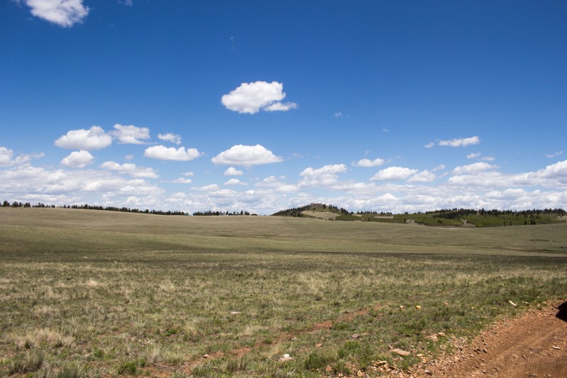
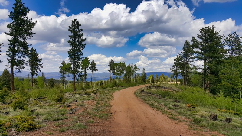
FS 329 is a short trail through the north west end of the Kaufman Pasture. All along the drive you will be awarded with plenty of views of the surrounding mountain ranges and the beautiful Kaufman Pasture. If you are lucky you will come across pronghorn enjoying the pasture as well.
Updated: 09/11/2022
Right Road
Woodland Park, Colorado
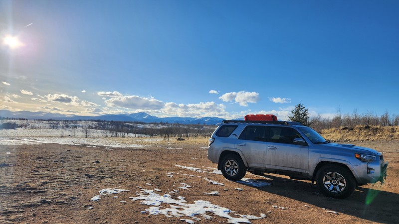
Situated in Colorado's beautiful wilderness, Right Road is a gateway to the small vehicle trail, Rule Spur Trail. This accessible route threads through a serene landscape of pine forests and creeks, peppered with stunning glimpses of the Rockies. While primarily a pathway to other trails, Right Trail adds value with its tranquil ambiance, mild terrain suitable for all drivers, and vibrant signs of nature rebounding from past wildfires.
Updated: 10/15/2024
Tilden Road
Jefferson, Colorado
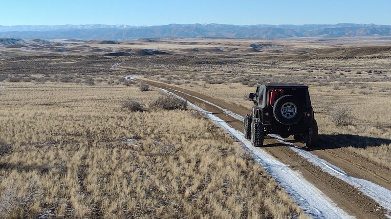
Tilden Road, FR 390C, a 1.3-mile trail in Pike National Forest, weaves through the picturesque Tarryall Mountains just northeast of Fairplay, Colorado. Catering to beginners and sightseers, this north-south trail offers a gentle yet engaging offroad experience. The trail is characterized by rough, muddy conditions with rutted sections due to washouts. While Tilden Road is fairly accessible, it connects to more challenging 4WD trails.
Tilden Road provides access to dispersed camping areas in a peaceful forest setting. Best visited from late spring to fall, this trail is perfect for those seeking relaxation and adventure in the wilderness.
Updated: 03/03/2025
Harleys Dome
Mack, Colorado
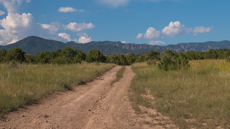
Harleys Dome is a 4-mile moderate 4x4 trail within the McInnis Canyons National Conservation Area along I-70. The trail's highlight has to be that it crosses into Utah, near the I-70 Utah Stateline sign. The trail has a couple of challenges that require 4x4 and high clearance. You must drop down a wash embankment and climb the other side. Avoid the trail in wet conditions. The mud will be impassable.
The area also offers mountain biking at Mack Ridge/Kokopelli and off-highway vehicle trails in Rabbit Valley. The Trail Through Time, adjacent to an active dinosaur quarry, provides visitors a chance to learn about fossils and paleontological finds in the area. Find outstanding hiking and horseback riding at Devil's Canyon and Pollock Bench trailheads off Kingsview Road outside Fruita. The area is home to mountain lions, desert bighorn sheep, elk, deer, eagles, and collared lizards.
Camping is not permitted along this route. Free primitive camping can be found on Crow Ridge trail at High North Campground.
Updated: 10/15/2024
Penrose Commons BLM 6101A
Adelaide, Colorado
Penrose Commons is a BLM OHV recreation area near Penrose, Colorado. The area is full of crisscrossing full-size and ATV trails of varying difficulty. BLM Route 6101A is a short loop off of 6101. It also crosses 6101C, which leads back to the central trail. This trail is mostly rock and gravel with a couple of rough patches, small steps, and loose rocks. Any stock 4x4 would be suitable for this trail. Camping within Penrose Commons is limited to designated sites only, which are marked with camping signs. No campsites can be found along this trail. Vault toilets are located at the entrance to the OHV area.

Upgrade your Membership
Unlock all of the details on every Trail Guide and Scout Route.
Start a 7-day Free TrialBrowse Trails in Colorado by City
Browse every Colorado city with offroad trail guides.
Community
Partners

