













By clicking "ACCEPT", you agree to be the terms and conditions of each policy linked to above. You also agree to the storing of cookies on your device to facilitate the operation and functionality of our site, enhance and customize your user experience, and to analyze how our site is used.
Colorado Off-Road Trails
602
Total Trail Guides 575

6450
Detailed Waypoints 568
Try a Free 7-Day Trial and unlock it all
Start a Free Trial Most Recent Trail Reviews
Rated 4/5
Open
Visited: 09/25/2026
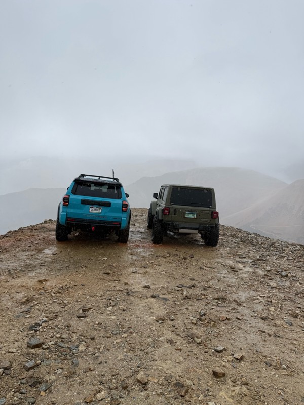
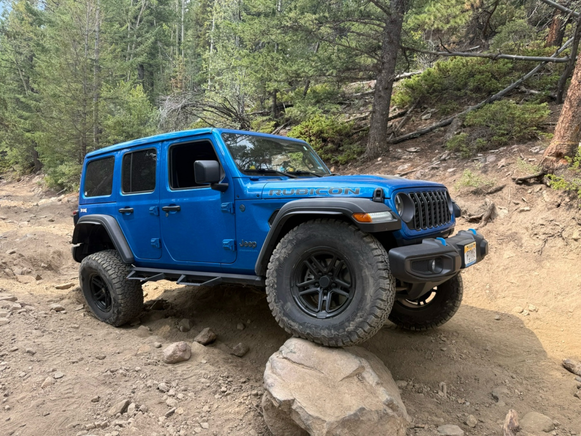
There were definitely some difficult obstacles but nothing you can’t get through with a good line and a spotter. If you don’t like shelf roads DON’T go down Webster pass. As a person who has a fear of...

Tiffani
Rated 5/5
Open
Visited: 09/25/2026
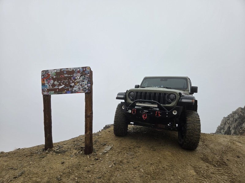
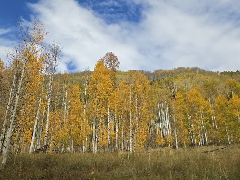
Today was my first time over Pearl Pass, and it won't be my last. The trail is fun and the scenery (what I saw of it) was amazing.
The weather was not good, it missed and rained all the way up the ...
CH
Chris Hebner
Rated 5/5
Open
Visited: 09/25/2026
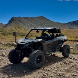
Pretty views but mostly overcast the whole time. No snow up here like there was over at engineer. Bathrooms are closed.
Tyler
Rated 4/5
Open
Visited: 09/25/2026
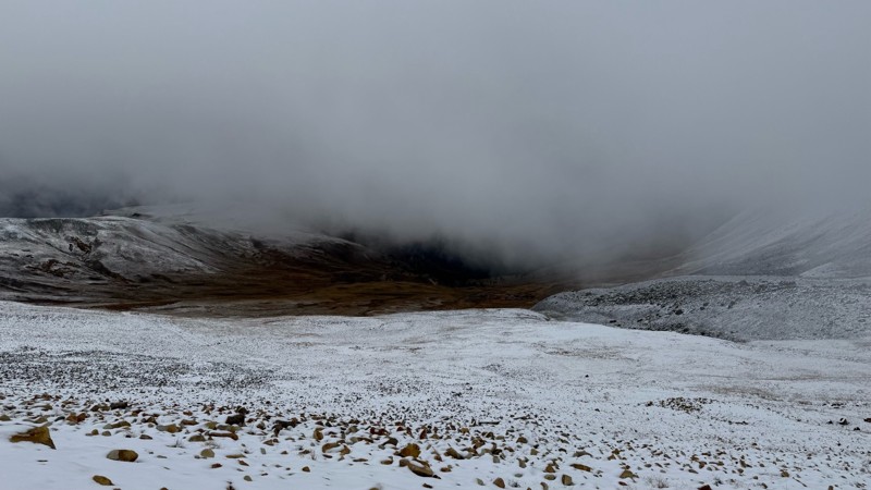
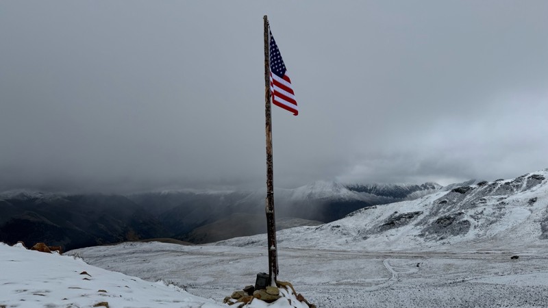
Pretty bumpy with some more rough spots near the top. Has been mostly overcast due to the storms lately. Decent amount of snow up at the top.
Tyler
Rated 5/5
Open
Visited: 09/25/2026
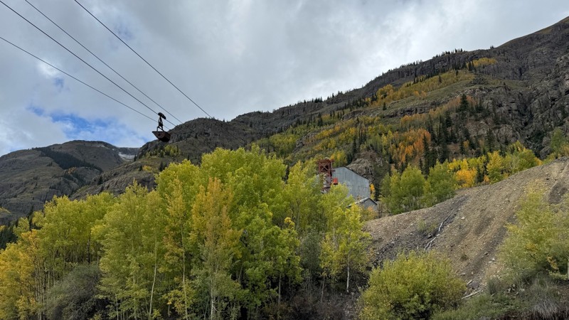
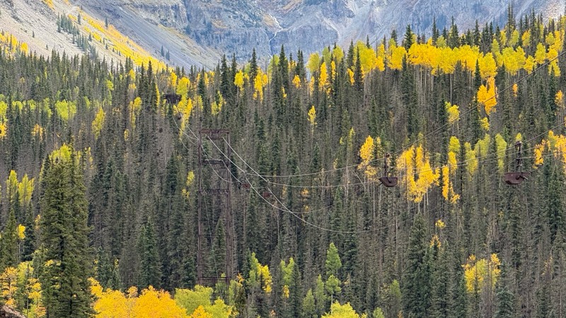
Beautiful fall colors, waterfalls and mining sights. Easy road till you get closer to the pass.
Tyler
Rated 5/5
Open
Visited: 09/24/2026
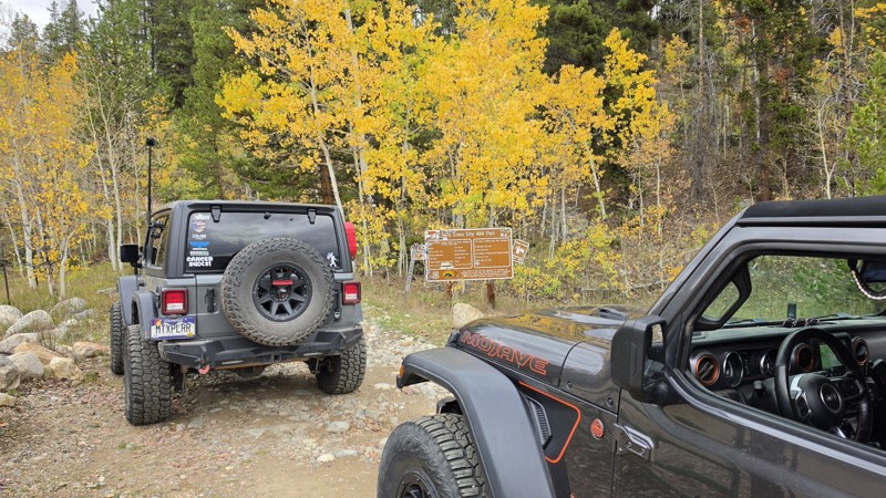
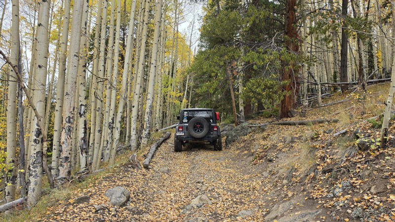
Amazing! Maybe my new favorite trail, at least in Colorado. It was a perfect fall day and no other vehicles on the trail. A bit wet and misty added to the challenge. Pulled line twice mostly because o...

Corey Charlick
Rated 5/5
Open
Visited: 09/24/2026
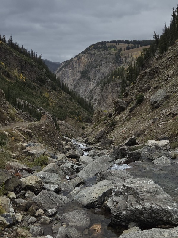
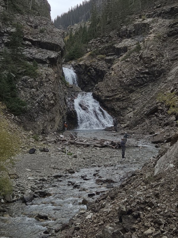
Schofield's reputation is well earned. The shelf roads were sketchy in a few spots, but they were wider than I expected. I was traveling north to south.
Flying solo I was more sketched out for th...
CH
Chris Hebner
Rated 5/5
Open
Visited: 09/24/2026
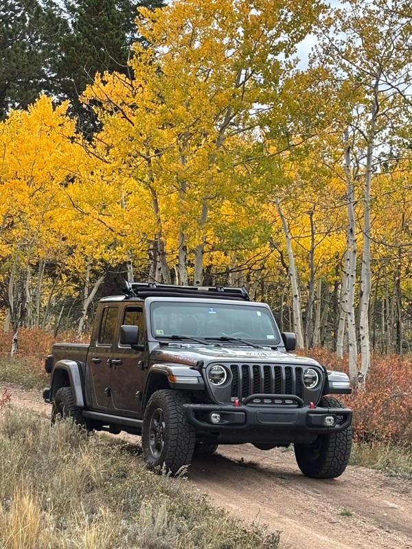
Fun easy trail with great views. Caught the aspens peaking.
LL
Louis L
Rated 5/5
Open
Visited: 09/23/2026
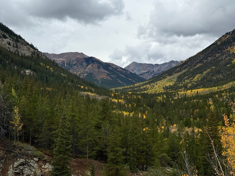
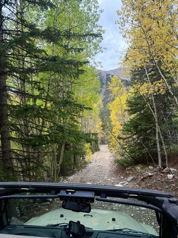
This was a nice trail with little difficulty but plenty to offer between the creek crossings, peaceful forest, good views, and an awesome lake a short walk from the end.
Normally an “Optional” diffic...
Josh
Rated 4/5
Open
Visited: 09/23/2026
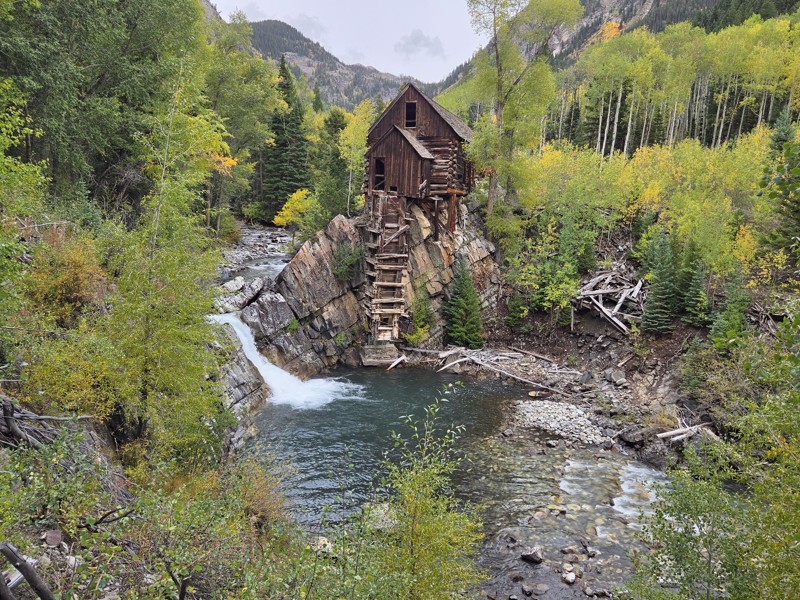
BUMPY!!! Don't let the 2 rating fool you. The trail isn't at all difficult, but it is bumpy! I arrived in the area in the afternoon and thought I'd take a quick trip up to check out Crystal Mill. ...
CH
Chris Hebner
No Rating
Open
Visited: 09/23/2026
Great medium level drive. Allow time to get to trail head as the washboard getting there is rough. It was worth it though.
KE
Keith Early
Rated 5/5
Open
Visited: 09/23/2026
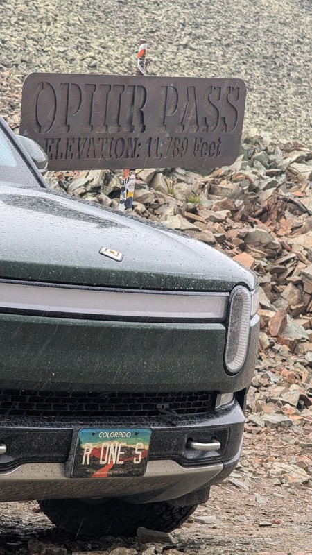
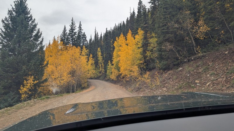
nice trail with good views. a classic in the San Juans... it's not quite as easy as 2 but not a true 3 either. Totally doable with a stock 4WD.

Mustafa ParDane
Official Crew
Rated 5/5
Open
Visited: 09/23/2026
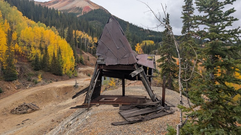
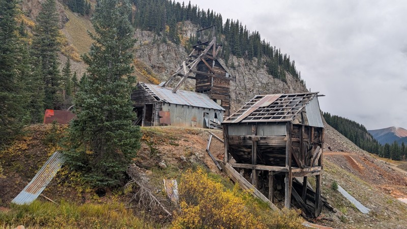
Nice fun easy trail! You will see lots of mines. I mean lots of them. If you are into it, this is the trail for you :)
Mustafa ParDane
Official Crew
Rated 5/5
Open
Visited: 09/23/2026
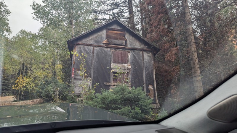
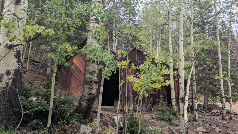
It's a steep climb all the way from the beginning to the top but there is no real obstacles. You will see some cool mines. And the views are awesome. You will see some good views of the Red Mountain p...
Mustafa ParDane
Official Crew
Rated 5/5
Open
Visited: 09/23/2026
We frequent this route probably once a week from GoG to Woodland Park. Be very careful on the blind curves - no shortage of knuckleheads driving way too fast (a biker was struck fatally in June). Us...
TC
Tim Crane
Rated 5/5
Open
Visited: 09/22/2026
Scenic road connecting to other alpine loop trails. it's not very technical or hard. but if you don't prefer shelf roads, maybe that can be considered hard. Red Mountain peaks are awesome. the scenery...

Mustafa ParDane
Official Crew
Rated 5/5
Open
Visited: 09/22/2026
Besides the shelf roads, there is not other bug obstacle or anything technical. As always, it has really good views :)


Mustafa ParDane
Official Crew
Rated 5/5
Open
Visited: 09/22/2026
Views are awesome as always with any alpine loop trails. There is a very short hike at the summit that takes you to even higher point with better views. Lake Como looks very good from there.


Mustafa ParDane
Official Crew
Rated 5/5
Open
Visited: 09/22/2026
Started from Lake City as most people recommend running the alpine loop clockwise. I think that was a wise choice because I didn't have a lot of ongoing traffic. The views are awesome and they start r...


Mustafa ParDane
Official Crew
Rated 5/5
Open
Visited: 09/22/2026
Tough trail, lots of technical spots throughout. Dont attempt solo or with any kind of stock truck!


Greg Dermann
Rated 4/5
Open
Visited: 09/22/2026
Just a dirt road with lots of potholes. Nothing technical. Drove this up to the 401 Trailhead to bike. Pretty busy with folks camping and leaf peeping. Overall it is in a pretty area and theres good c...



Davis McPherson
Rated 4/5
Open
Visited: 09/22/2026
Ok I have not run that trail in the last 4 years. I don't recall it looking like the photos. Did it recently get this way (rock garden) and get the difficult rating?
C
coyoteslocos
No Rating
Temporary Closure
Visited: 09/21/2026
Sign at the bottom of the hill says road construction but when you get to the turn off it is blocked.
PD
Paul Dixon
Rated 5/5
Open
Visited: 09/21/2026
Ran the trail from Westcliff side over the pass and into Great Sand Dunes NP. Had great weather. Don't think it had rained much in the days prior. So, the trail was dry. Think the difficulty ratin...



Stephen
Rated 5/5
Open
Visited: 09/21/2026
Id put it at a 3 some larger rocks mud and shelf roads: beautiful trail. Highly recommend.


Brian mckie
No Rating
Open
Visited: 09/21/2026
There is an area towards the end of this trail not long before it opens into the meadow that is very shaded and has become a mud hole. Well, somebody with a vehicle not capable enough to get through i...

Curt Greeley
Rated 5/5
Open
Visited: 09/20/2026
Ran this trail for the first time on 9/20/26. Absolutely stunning views and the leaves were almost at peak. This might be my new favorite trail to run during this time of year. Not difficult, but long...



Jack Mackie
Rated 4/5
Open
Visited: 09/20/2026
I wanted to run this trail on my way out from the gulches area but when I got down to the first stream crossing it had a few large logs placed in it. Im not sure if this is for traction or what, but I...
Jack Mackie
Rated 5/5
Open
Visited: 09/20/2026
First time out here and I ran this alone on 9/20/26 coming back from Old Stage 220. Took Sportsman Rd to get to 220 so I decided to take this to trail to get back to Cedar Mtn Rd. This is more fun tha...
Jack Mackie
Rated 5/5
Open
Visited: 09/20/2026
This is one of my favorite trails. I like to start at St. Mary's and run it in reverse lf this trail guide. I prefer to take most of the steep sections downhill, but if you want a fun challenge, then ...


Tim
Rated 5/5
Open
Visited: 09/20/2026
Ran this on 9-20-26 up to the Phoenix rocks. WK2 3" lift on 33's. Never been in this area before but I have read many of the reviews on here about the gulch trails. I was alone and the phoenix rocks w...

Jack Mackie
SH
Sharon Hansen
Rated 5/5
Open
Visited: 09/20/2026
Maiden voyage for my stock suspension 1994 Wrangler. The trail was surprisingly rocky in the beginning. Beautiful views and not too much traffic.
SH
Sharon Hansen
Rated 2/5
Partially Open
Visited: 09/20/2026
While there were some aspen views, this is not the best place to find them. Most of the views of the surrounding area are obscured by pine trees that are close to the road. Many of the overlooks are o...
MG
Mike Gerdts
Rated 4/5
Open
Visited: 09/20/2026
We enjoyed the trail. Beautiful scenery. Definately narrow in some areas. The terrain itself wasn't so difficult. Clearence is needed for some of the rocks in the trail.


Lisa Johnson
Rated 4/5
Open
Visited: 09/19/2026
Ran it in a 157"WB F150 on 33's, and would probably run it in a passenger car. Great views, easy climb and the switchbacks were totally navigable in a fullsize. Some of the roads on top are more app...
J
Justin
Rated 5/5
Open
Visited: 09/19/2026
The last descent at the end is kind of muddy so take it extra slow.



Joshua Scurran
Rated 5/5
Open
Visited: 09/19/2026
Ran east to west. The ascent at waypoint 14 has been cleaned up considerably - not sure if this was the work of the recovery crew we passed who were headed up Mt Baldy road, but it was much less rocky...

Jeff Dew
JG
Joseph G Botthof III
No Rating
Temporary Closure
Visited: 09/19/2026
Following up on Ryan's post, multiple incidents have occurred of vehicles sliding off the trail at washouts. CO4x4RNR was up yesterday recovering a vehicle, and we were told the trail will remain clo...

ERIC D BROWN
Rated 5/5
Open
Visited: 09/19/2026
Epic views at the top make this in and out road a must see on my list. Shelf roads with a few areas for passing. Switchbacks and 12"-18" boulders in only a few places to navigate. 4wd and good clearan...



Desi
Rated 5/5
Open
Visited: 09/19/2026
Expect closures Sept 21-24 for pipeline maintenance starting near the trestle. Perhaps related, there’s a rusty 4-6” pipe sticking out of a puddle near the trailhead at the top.
It’s been a bit rai...

MG
Mike Gerdts

Kirk Kneezle
Kirk Kneezle
Kirk Kneezle
WH
William Harkcom
Rated 5/5
Open
Visited: 09/18/2026
Great trail. Lots of fun, great views. Loved all the rock outcroppings.



Jessica H
Rated 5/5
Open
Visited: 09/18/2026
Short but fun. Right mix of technical and scenic. Ran this with Solitude Creek. Great views but that initial climb looked daunting but once you get into it wasn’t that bad.


Jessica H
Most Popular

Updated: 08/11/2026
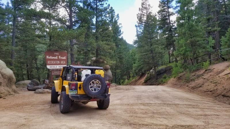
Devils Head Trailhead and Campground Road
Perry Park, Colorado
Located in Pike National Forest, this road provides access to the Devil's Head hiking trail (FS 611) and nearby camping roads. The trail was constructed in 1907 after the recently formed Forest Service decided to build seven fire lookouts along the Front Range of Colorado into Wyoming. The Forest Service built only three, and Devil's Head is the last one remaining that is in operation. Climbing to the top of the tower will give you 360-degree views for over 100 miles on a clear day from this Colorado landmark. This is a simple dirt road with small rocks embedded in the road with no major obstacles.
Updated: 08/03/2026
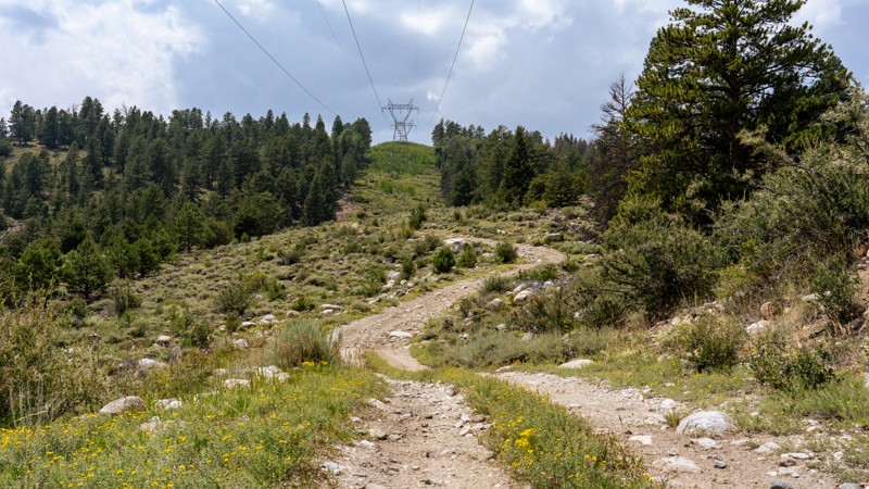
Powerline
Maysville, Colorado
As the name suggests, Powerline is a straight-through connector road following powerlines between Billings Lake and Taylor Mountain. The eastern end of the trail is extremely rocky, with protruding rocks up to basketball in size and loose rocks the size of softballs. The trail climbs sharply at a consistent 12-degree pitch as you travel west, curving through a half-dozen wide-sweeping switchbacks. Once at the top of the ridgeline, the trail smooths out to a well-maintained road the remainder of the way with no concerns. One campsite can be found at the eastern end of the trail near the intersection with Billings Lake, and another campsite can be found at the halfway mark along the ridgeline.
The loose rocky terrain on the eastern end of the trail is suitable only for high clearance 4WD vehicles. If entering the trail from the west and heading towards Dry Lake, any vehicle is suitable.
Updated: 07/02/2026
Santa Maria Road
Spar City, Colorado
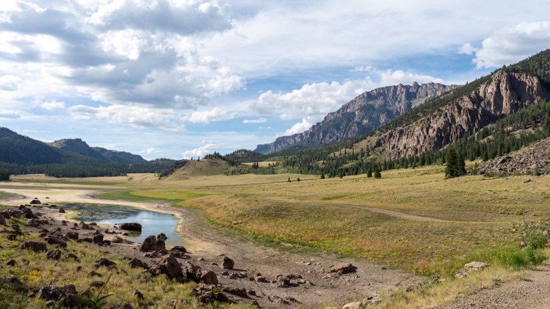
Santa Maria Road is a 3.3-mile out-and-back trail that travels along Seepage Creek through a gorgeous valley between Antelope Mountain and Bristol Head Peak. The trail starts at Highway 149, passes alongside private property, and then quickly enters Forest Service land with several old corrals and a few campsites at the base of massive cliffs, including a large open grassy area with numerous fire rings. The road continues northwest past the whithering shorelines and often dry lake bottoms of Lower and Upper Seepage Lakes. The trail passes abundant dispersed campsites well spaced out from each other before entering a thick pine and aspen forest before dead-ending near Ghost Lake. In the past, the road continued to Santa Maria Reservoir but is now long blocked by downed timber and was removed from the official route.
This road is highly scenic and great for day-trippers looking for a quiet drive or for campers looking for seclusion. Hunters often use it heavily in the fall, but it is lightly used the rest of the year.
The road surface is hardpacked dirt with occasional potholes and ruts but has no significant obstacles. This trail is suitable for any high clearance vehicle and small offroad trailers. RVs and travel trailers can only safely travel a few hundred yards into the trail to the first camping area.
Updated: 06/27/2026
Greenhorn Loop
Gypsum, Colorado
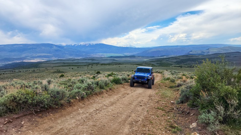
BLM Road 8480, known as Greenhorn Loop, is one of the main roads within the Gypsum Hills Recreation Area. This seasonal road below Greenhorn Mountain is a 12-mile, straight-through dirt road, generally 1-1.5 vehicles wide, traveling over mainly hardpacked surfaces with a few sections of fist-sized exposed, protruding rocks. No obstacles exist along the drive, but it is common to see extreme rock buggies traveling along the road, as it is the only entrance and exit road for the extreme Ten Falls Rock Crawling Trail. This trail is great for beginners and suitable for any stock high-clearance vehicle. The biggest concern along this road is the potential for encountering free-range cattle and the extremely fine silt that clouds up behind every vehicle. If running topless or doorless, expect to be covered in dust at the end of the day.
Camping along this trail is fairly limited. Along the southern half of the trail, 1.3 miles from Trail Gulch Road 6, you will find a short spur labeled as a BLM camping location. This dispersed camping area has a big turnaround, is very large, and can easily accommodate groups and trailers. The ground is level here and somewhat rock-free. The remainder of the trail offers a few sporadic flat areas but no pre-established campsites.
The road is closed seasonally from January 16th through April 15th for wildlife protection.
Updated: 10/15/2024
County Road 103
Hidden Lake, Colorado
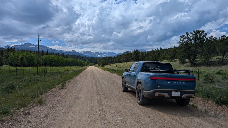
County Road 103, just north of Ward, is a short, easy, graded dirt road segment that connects Peak to Peak Highway to County Road 100 towards its northern end. There is no notable camping along County Road 103, as most land is privately owned. When driving County Road 103 west towards Peak to Peak Highway, there are some nice views of the Indian Peaks Wilderness Area and the Continental Divide.
Updated: 10/15/2024
Freedom Trail
Penrose, Colorado
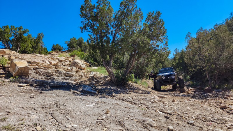
Part of the Independence Trail System within Penrose Commons, Freedom is an early bailout point from Independence to the easy access road. The trail climbs sharply and features two large 4-foot waterfalls that must be traversed before leaving the trail system. The trail can be run in either direction and is most commonly used by people who underestimated the difficulty of the Independence Trail. An experienced driver and a highly modified vehicle will be required to drive this trail. Large tires, lockers, winch, and recovery equipment will be required.
Trailer parking, a pit toilet, and camping can be found at the Penrose Commone trailhead.
Updated: 12/09/2025
Waunita-Black Sage
Parlin, Colorado
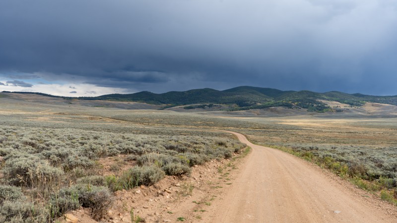
Used as part of the longer, notable Colorado backcountry route, Waunita-Black Sage can be driven to connect Waunita Pass to US 50 or over the Old Monarch Pass. Once under the tree canopy, one campsite is at the highest elevation near the signage of Blacksage Pass. On the southern half is the Waunita Hot Spring Ranch, which has excellent reviews and would be a nice stay if on a multi-day overlanding route. This route is suitable for any high-clearance vehicle in dry conditions.
Updated: 05/20/2026
Granite Creek
Gateway, Colorado
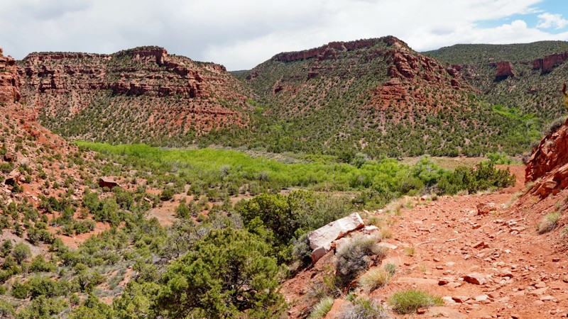
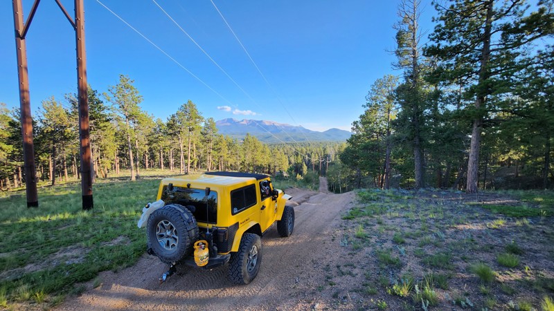
Granite Creek is a challenging, lightly used trail that descends into a desert oasis, following Granite Creek through a stunning red rock canyon lined with lush vegetation. It begins in Utah and crosses into Colorado and is most often run in conjunction with the Sheep Creek trail and others in the remote Dolores Triangle region as part of a longer route between Glade Park and Gateway.
The beginning of the trail is the most difficult, as you descend a steep and rocky shelf road with at least one ledge obstacle about 2 feet high. Fresh rockfall could at least partially block the narrow shelf road, making it more challenging. After reaching the canyon bottom, the road follows a narrow, rocky shelf above the creek, with excellent views of the cliffs above. Pinstriping is inevitable here, as thick brush frequently impinges on the trail. About a third of the way through the trail, the road crosses Granite Creek (usually shallow) and turns into a side canyon, which it follows up into Lost Horse Basin.
After another small creek crossing, the road gradually climbs the south wall of the canyon until reaching a faint intersection. Turn right here to complete the climb out of the canyon to a road along the ridge connecting to the Sheep Creek Road and Steamboat Mesa. Or keep going straight on a faint and barely used road that circles through Lost Horse Basin and follows the upper rim of Granite Creek Canyon, ending in Ryan Park back near the start of the trail. There is also another road you can take earlier that provides a shortcut from the canyon to the Sheep Creek Road.
Because the trail is lightly used and most of the terrain is too steep and narrow, there are no established campsites along this road. There is a small pullout right before the start of the shelf road at the beginning of the trail, and one flat area at the bottom of the shelf road, where it might be possible to camp, but there are better campsites elsewhere in the area. Numerous sites can be found in the forest along the connecting Steamboat Ridge road near the end of the trail.
Updated: 10/15/2024
Skelton Ridge Road
Woodland Park, Colorado
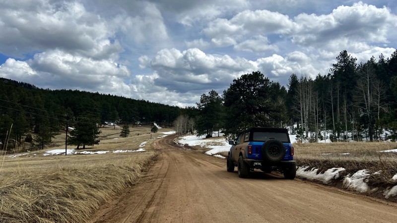
Skelton Ridge Road is a short out-and-back trail near the edge of the Rule Ridge Trail System. This trail is a great place to set up camp for the weekend and find a quieter side of this area.
Updated: 10/15/2024
County Road 70
Bailey, Colorado
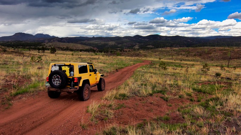
County Road 70 is a short connector trail that connects CR 68 with Echo Valley Road. The trail passes by Echo Valley Ranch, so be mindful of livestock crossing the trail. There’s also an active lumber operation on the east end of the trail near Echo Valley Road, so the overall look of the trail could change. There are no obstacles to note or campsites. If you need a campsite, Redskin Road has plenty of primitive and paid sites to choose from.
Updated: 10/15/2024
Laura Lane Road
Westcreek, Colorado
Laura Lane Road is a side trail to the area commonly referred to as Rainbow Falls near Woodland Park. This trail is a pleasant drive with great scenery because of the Hayman Burn and allows you to get away from the crowds.
Dispersed camping is allowed, but no sites were seen.
Updated: 09/09/2026
Cross Mountain
Abbeyville, Colorado
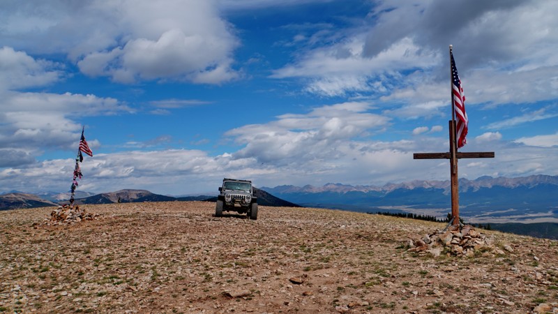
The Cross Mountain trail is a lesser-known but popular trail in Union Park. It climbs from the grassy rangeland of Union Park to a secondary summit of Cross Mountain at 11,800 feet, so named because of a longstanding local tradition of erecting crosses there to memorialize deceased loved ones.
The trail starts as a graded dirt road crossing wide open pasture land before passing through a series of cattle gates and intersecting the Union Canyon trail. From there, it gets slightly rougher as it winds around the base of Cross Mountain before turning uphill at the beginning of FR 752.3A. From there, the trail is significantly more rocky and challenging, though still moderate difficulty overall. It follows Cross Creek for ways past the ruins of old mining cabins before turning north for the final ascent to the ridge, then back south for the last leg to the summit. A side spur follows the ridgetop to another overlook a short distance north, where the trail gains the ridge.
The views from the summit are spectacular, overlooking the dramatic peaks in the adjacent Fossil Ridge Wilderness Area to the west and Union and Taylor Parks to the east. Several crosses, flags, and memorial plaques can be found at the summit, and a giant cross made of rocks on the ground.
Camping is allowed along most of the route, but there are no established campsites, and most of the terrain is too steep. Note that because of an apparent mapping error in the 2010 Gunnison National Forest travel plan, the last 1.25 miles of the route to the summit (past the track shown here) do not appear on the MVUM. The ranger district agrees this was probably an error, and the full route to the summit appears to be managed as an open route regardless of what is shown on the MVUM and is regularly driven by vehicles. Because of this uncertainty and the fact that it passes through a corner of the Union Roadless Area, that segment could be closed anytime.
Updated: 08/11/2026
Frey Gulch C
Keystone, Colorado
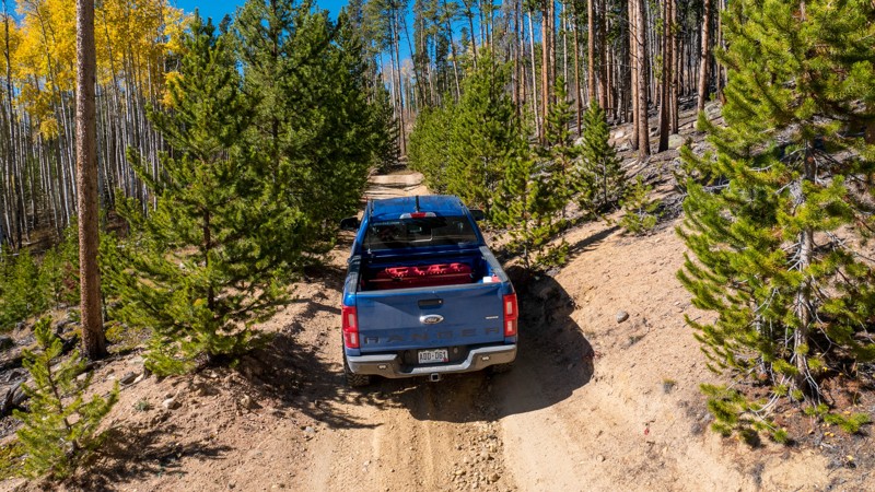
Frey Gulch C is a short spur trail that leads north from the Frey Gulch main trail. This trail provides access to a couple of motorcycle trails.
The trail is an easy dirt road with several whoopdidoos, rougher than Frey Gulch but still passable by any AWD car. The trail is fairly narrow, though a full-sized pickup could pass with light pinstriping. There is a small spot to do a 3-point turn just before the gate at the trail's end.
Like Frey Gulch, this trail is closed to motor vehicles from November 23 - June 30.
Dispersed camping is permitted. However, there are no obvious campsites, nor anywhere to park off the road itself.
Updated: 07/08/2026
Short Cut Road
Rock Creek Park, Colorado
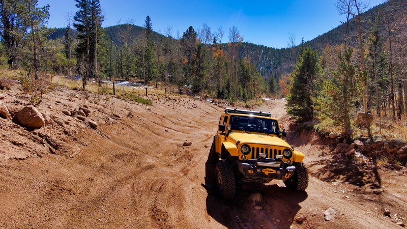
Short Cut Road is a handy alternative to Gold Camp Road, cutting nearly a mile off the usual route. This rugged path, filled with deep ruts, calls for a vehicle with high clearance. It’s also a popular spot for recreational shooting, so don't be surprised to find people engaged in target practice. If you choose this shortcut, watch for parked cars and active shooters. It’s a quick, practical choice for those comfortable with the rough terrain, getting you back to the trails on Gold Camp Road faster.
Updated: 06/15/2026
Pisgah (Columbine Cutoff)
Central City, Colorado
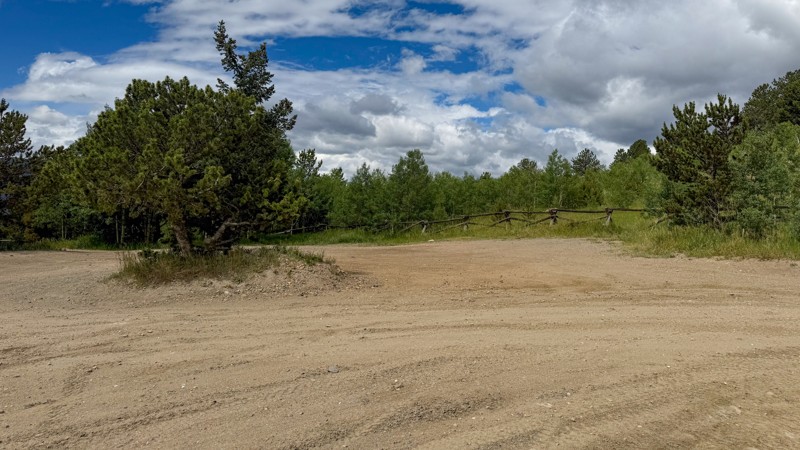
Pisgah is a Forest Service Road located within the Arapaho and Roosevelt National Forests, specifically in the Yankee Hill area near Central City. It's part of a larger network of roads and trails popular for off-highway vehicle (OHV) use. Accessible year-round, this trail is primarily used as a connector from the OHV Parking lot to Yankee Hill.
The trail used to have a couple of bad, rutted sections, but they have been graded over, making it a pretty smooth ride, suitable for any vehicle with decent ground clearance.
There are only two campsites along the trail, which are usually taken very quickly when the weather is good. However, they are right next to the trail, so dust from passing vehicles is a major issue.
Updated: 06/29/2026
Overland Reservoir
Bowie, Colorado
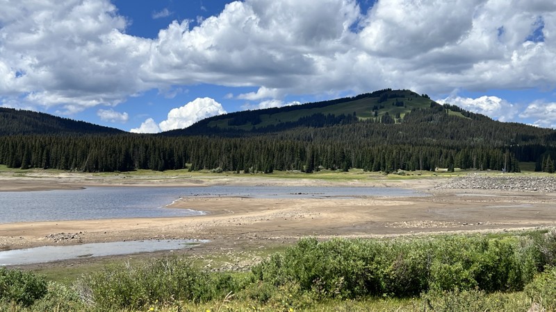
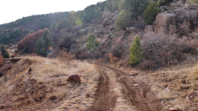
Overland Reservoir is an out-and-back road ending at its namesake, Overland Reservoir. The road to the reservoir is easy and well-maintained gravel. Once at the reservoir, the road crosses a causeway where mud can form, demanding you to use caution in wet weather. There are plenty of great dispersed campsites at the reservoir with views of the surrounding mountains. In dry and normal conditions, the road is suitable for all high-clearance vehicles.
Updated: 10/15/2024
Gulch Trail
Victor, Colorado
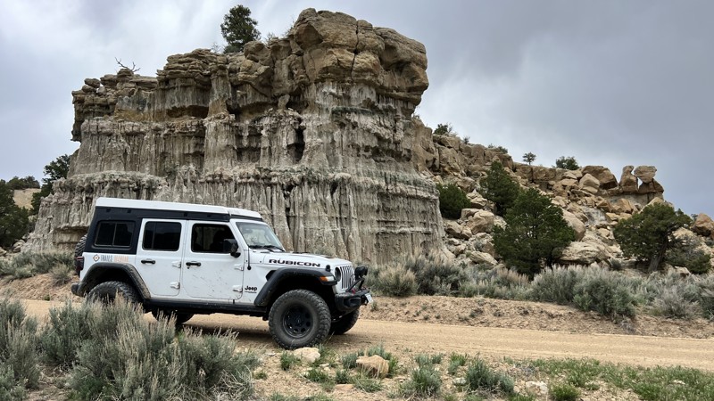
This is a short spur off the Trail Gulch road, which travels further up Trail Gulch before dead-ending at a junction with an ATV trail and a hiking/biking trail. It is lightly traveled and somewhat overgrown with scrub oak. Most of the trail follows a shelf above the wash at the bottom of the canyon, and there is not really anywhere suitable for camping. There are no significant obstacles, just some small ruts. If you are riding a dirt bike or 50" ATV, you can take trail 5820C back over to the main Trail Gulch road and form a short loop. Otherwise, full-size vehicles will need to turn around at the end and come back the way you came.
Updated: 01/13/2026
County Road 109
Dragon, Colorado
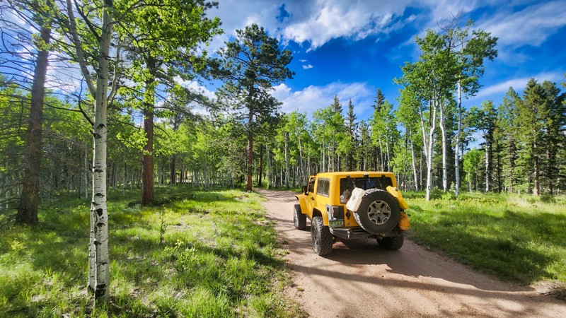
Rio Blanco County Road 109 is not a destination road but is used for longer routes that lead into the lesser-used areas of Colorado and Utah. The road is smooth and graded, with no obstacles. Along the way, there are numerous sandstone formations to view. There are several BLM side roads that one could potentially find camping on, but as for this road, there is no camping.
Updated: 10/15/2024
Crazy Gulch Road
Divide, Colorado
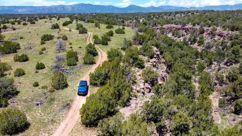
Crazy Gulch Road, primarily a rough dirt trail, is a gateway to a cluster of trails, including Grazing Road and Moonshine Road, just off County Road 511. It's a reasonably challenging route due to its uneven terrain towards the end, but it suits adventurous spirits. Dispersed camping is permitted, and there are ample spots for overlanders to settle down. Note: remember to close the cattle gates to maintain local agricultural practices.
Updated: 10/15/2024
Penrose Commons 6102E
Penrose, Colorado
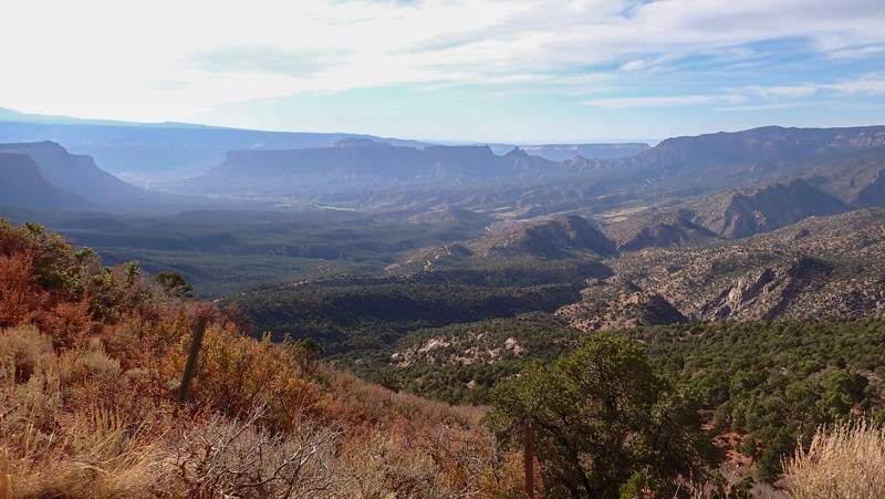
Penrose Commons is a BLM OHV recreation area near Penrose, Colorado. The area is full of crisscrossing full-size and ATV trails of varying difficulty. BLM Route 6102E is a half-mile-long spur to the east of what is also labeled 6102E. The end of this trail follows the rim of a beautiful canyon. The trail begins with a steep descent and then climbs through a wash, which may be difficult without 4WD and low gearing. Most of the remaining trail is sand and dirt, but it gets rocky again at the end. There is very little room to turn around at the end. This trail is suitable for any 4x4 with moderate clearance.
Camping within Penrose Commons is limited to designated sites only, which are marked with camping signs. No campsites can be found along this trail. Vault toilets are located at the entrance to the OHV area.
Updated: 11/07/2025
Pine Mountain
Gateway, Colorado
Traveling through the northwest reaches of the Uncompahgre National Forest, Pine Mountain, also known as County Road 6.3, is a short distance from the small town of Gateway and the fastest way into the national forest and the historic uranium mining district. The western trailhead begins in a sandy wash that may require four-wheel drive for larger vehicles. Once through the twisting scenic canyon, you begin loose dirt and rocky, 2,000' narrow ledge climb to over 7,800 feet in elevation. The 8-9% grade hill on 6.3 Road is one long, narrow obstacle in either direction. The road is wide enough for full-width vehicles, but the occasional narrow spots with intimidating exposure can be tricky for inexperienced drivers. Passing can be challenging but oncoming traffic is visible from a distance. The road is semi-maintained, so there are no obstacles on the route. Low-range gearing, offroad tires, and high clearance are required to complete the hill safely. Once at the top of Pine Mountain, the trail becomes much easier, and camping is limited to a couple of primitive spots along this section of trail. One campsite was large enough for several vehicles with tents, making a wonderful basecamp to explore the area's mining history.
Updated: 10/15/2024
Comanche Grassland - David Canyon A
Ormega, Colorado
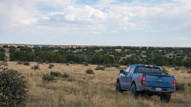
Comanche National Grassland features a sprawling network of double-track trails through rolling hills and arroyos on the plains of southeastern Colorado. On a clear day, you can see from Pikes Peak to the Spanish Peaks and all the way out to Kansas. This area is open year-round and is usually passable even in the winter when the mountain trails are often snowed in. The area is popular for big game hunters and is most busy during hunting season.
David Canyon A, FS 2200.A, is an overgrown double-track trail through rolling grasslands. The path through the grass is not very obvious in places, so some scouting on foot may be needed if you lose sight of the trail. The trail surface is a mixture of gravel and fine dirt. When wet, this dirt can be extremely slippery. Any stock 4x4 can easily travel this trail. The trail's south end forms a large loop with large juniper trees and cholla cactus all around. This portion has great views of the canyon and bluffs to the south.
This is active ranch land, and grazing cattle are common. Be sure to leave any gates how you found them. If they are closed, close them behind you after passing through. If cattle are on the road, drive slowly and wait for the cattle to move out of the way.
Dispersed camping is permitted anywhere up to 1 vehicle length from the trail on National Forest Service land.
However, there are no existing improved campsites. Leave your campsite the way you found it.
Updated: 10/15/2024
Sarah Road
Westcreek, Colorado
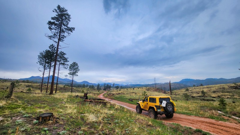
At the edge of the Rainbow Falls area, Sarah Road is a bit of an odd duck because it used to be a circular trail and now stops in the middle of fields on both sides of a large "C" that makes up the road now. The old trail traveled too close to the river and is closed to motorized usage. However, you can still run the rest of this easy trail, and it has great camping near the river.
Updated: 05/17/2025
Treasure Creek
Jasper, Colorado
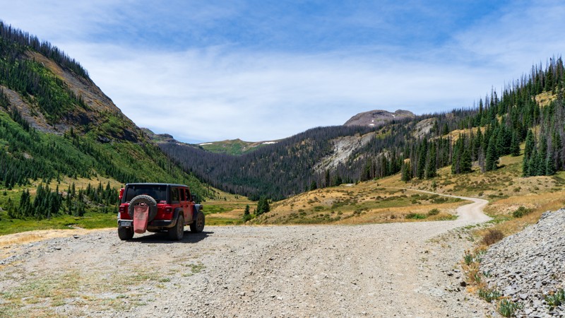
Spurring off Park Creek, Treasure Creek is a well-traveled 3-mile trail along its namesake creek. There are three main draws to running this trail: camping, fishing, and hiking. There are many smaller hiking trails and the famous Continental Divide. Camping is sprinkled throughout, with small secluded sites tucked behind trees and plenty of large sites in the big open meadow.
This is an easy road with no obstacles, so be sure to enjoy the peace and serenity of this beautiful canyon.

Upgrade your Membership
Unlock all of the details on every Trail Guide and Scout Route.
Start a 7-day Free TrialBrowse Trails in Colorado by City
Browse every Colorado city with offroad trail guides.
Community
Partners

