













By clicking "ACCEPT", you agree to be the terms and conditions of each policy linked to above. You also agree to the storing of cookies on your device to facilitate the operation and functionality of our site, enhance and customize your user experience, and to analyze how our site is used.
Colorado Off-Road Trails
602
Total Trail Guides 575

6450
Detailed Waypoints 568
Try a Free 7-Day Trial and unlock it all
Start a Free Trial Most Recent Trail Reviews
Rated 5/5
Open
Visited: 09/25/2026
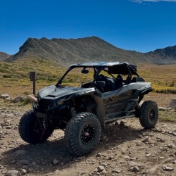
Pretty views but mostly overcast the whole time. No snow up here like there was over at engineer. Bathrooms are closed.

Tyler
Rated 4/5
Open
Visited: 09/25/2026
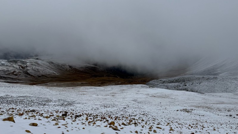
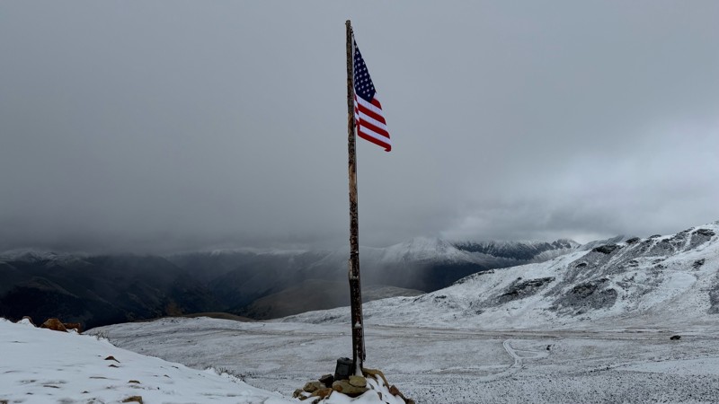
Pretty bumpy with some more rough spots near the top. Has been mostly overcast due to the storms lately. Decent amount of snow up at the top.
Tyler
Rated 5/5
Open
Visited: 09/25/2026
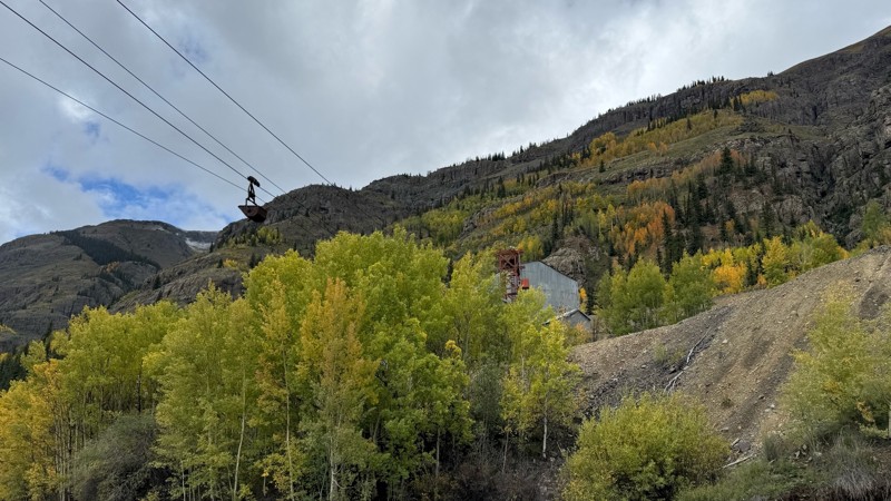
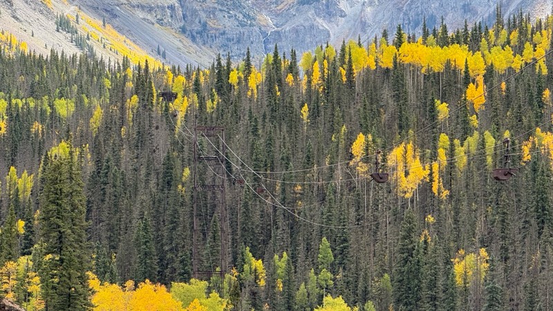
Beautiful fall colors, waterfalls and mining sights. Easy road till you get closer to the pass.
Tyler
Rated 5/5
Open
Visited: 09/24/2026
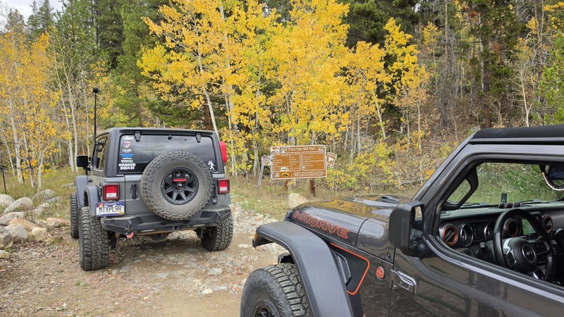
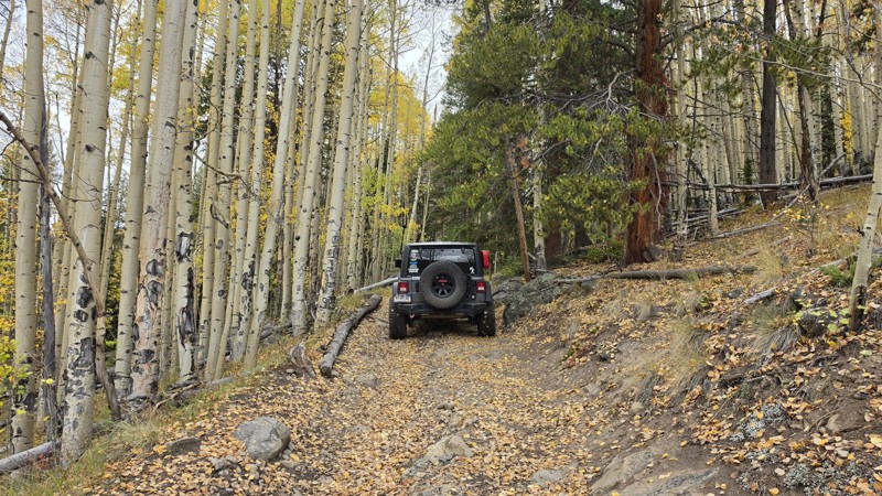
Amazing! Maybe my new favorite trail, at least in Colorado. It was a perfect fall day and no other vehicles on the trail. A bit wet and misty added to the challenge. Pulled line twice mostly because o...

Corey Charlick
Rated 5/5
Open
Visited: 09/24/2026
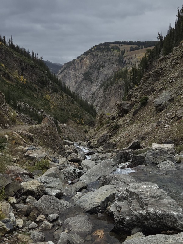
Schofield's reputation is well earned. The shelf roads were sketchy in a few spots, but they were wider than I expected. I was traveling north to south.
Flying solo I was more sketched out for th...
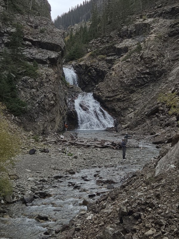
CH
Chris Hebner
Rated 5/5
Open
Visited: 09/24/2026
Fun easy trail with great views. Caught the aspens peaking.
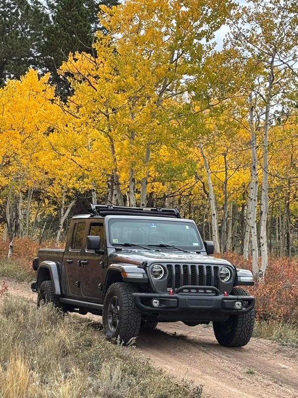
LL
Louis L
Rated 5/5
Open
Visited: 09/23/2026
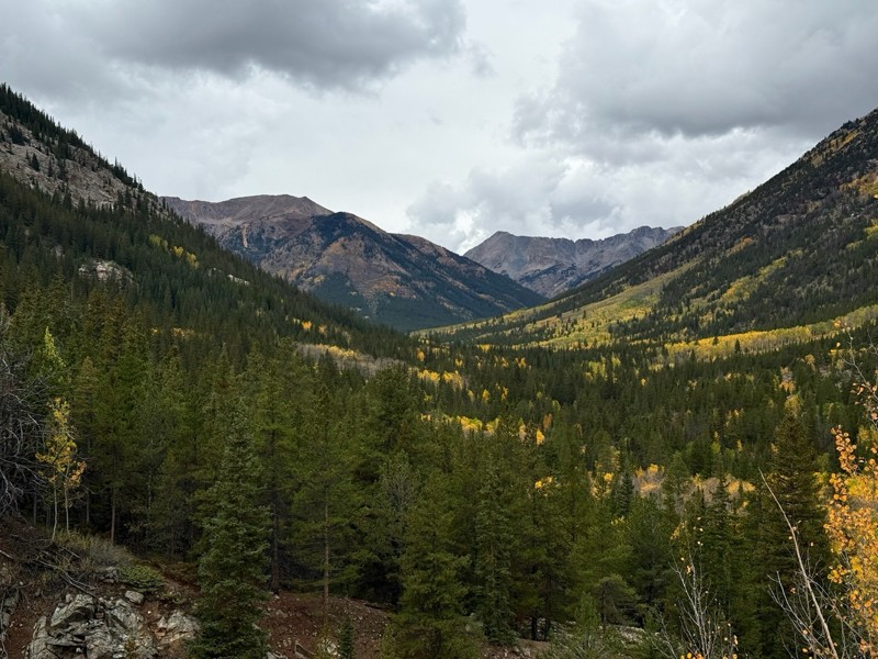
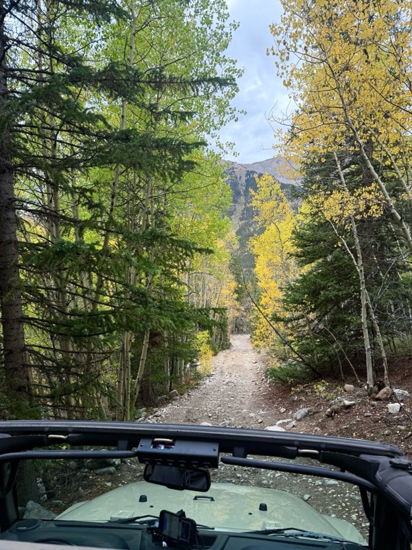
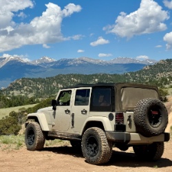
This was a nice trail with little difficulty but plenty to offer between the creek crossings, peaceful forest, good views, and an awesome lake a short walk from the end.
Normally an “Optional” diffic...
Josh
Rated 4/5
Open
Visited: 09/23/2026
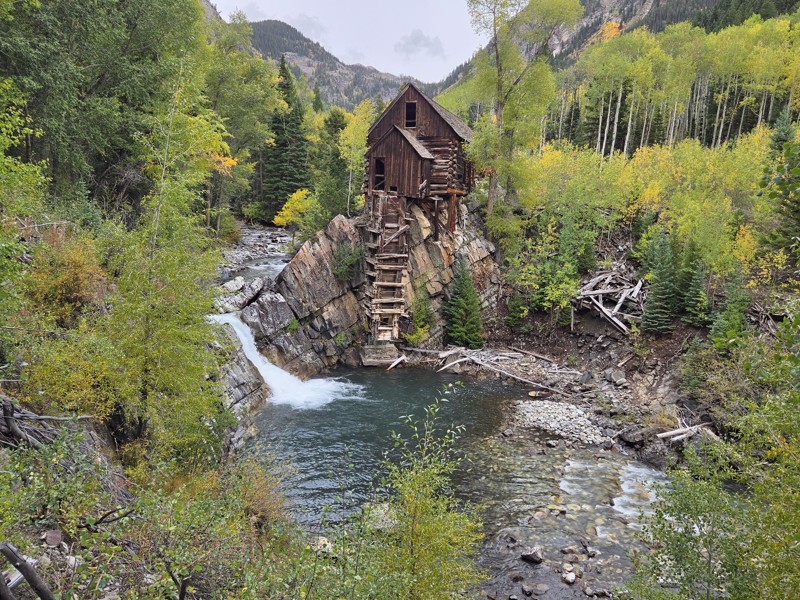
BUMPY!!! Don't let the 2 rating fool you. The trail isn't at all difficult, but it is bumpy! I arrived in the area in the afternoon and thought I'd take a quick trip up to check out Crystal Mill. ...
CH
Chris Hebner
No Rating
Open
Visited: 09/23/2026
Great medium level drive. Allow time to get to trail head as the washboard getting there is rough. It was worth it though.
KE
Keith Early
Rated 5/5
Open
Visited: 09/23/2026
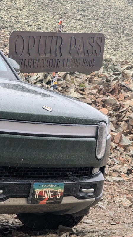
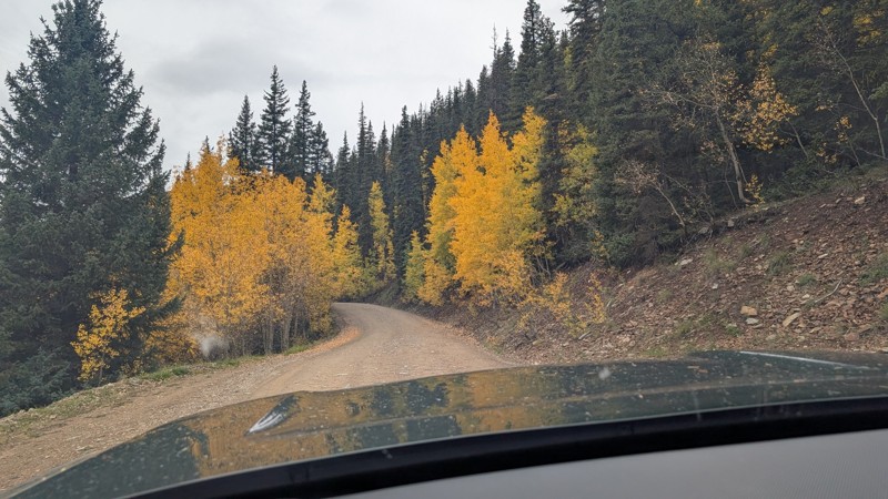
nice trail with good views. a classic in the San Juans... it's not quite as easy as 2 but not a true 3 either. Totally doable with a stock 4WD.

Mustafa ParDane
Official Crew
Rated 5/5
Open
Visited: 09/23/2026
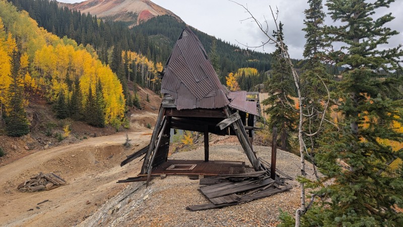
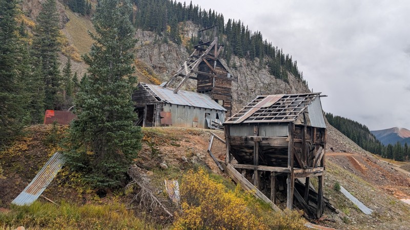
Nice fun easy trail! You will see lots of mines. I mean lots of them. If you are into it, this is the trail for you :)
Mustafa ParDane
Official Crew
Rated 5/5
Open
Visited: 09/23/2026
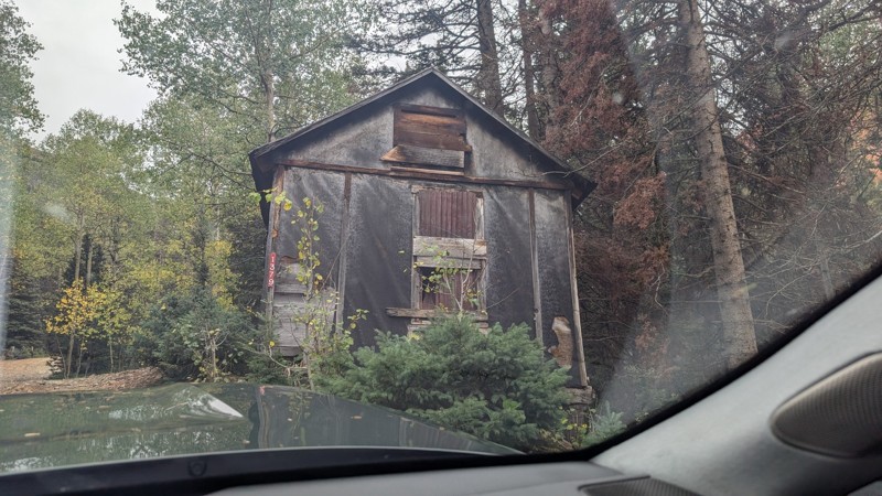
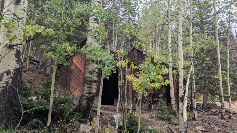
It's a steep climb all the way from the beginning to the top but there is no real obstacles. You will see some cool mines. And the views are awesome. You will see some good views of the Red Mountain p...
Mustafa ParDane
Official Crew
Rated 5/5
Open
Visited: 09/23/2026
We frequent this route probably once a week from GoG to Woodland Park. Be very careful on the blind curves - no shortage of knuckleheads driving way too fast (a biker was struck fatally in June). Us...
TC
Tim Crane
Rated 5/5
Open
Visited: 09/22/2026
Scenic road connecting to other alpine loop trails. it's not very technical or hard. but if you don't prefer shelf roads, maybe that can be considered hard. Red Mountain peaks are awesome. the scenery...

Mustafa ParDane
Official Crew
Rated 5/5
Open
Visited: 09/22/2026
Besides the shelf roads, there is not other bug obstacle or anything technical. As always, it has really good views :)


Mustafa ParDane
Official Crew
Rated 5/5
Open
Visited: 09/22/2026
Views are awesome as always with any alpine loop trails. There is a very short hike at the summit that takes you to even higher point with better views. Lake Como looks very good from there.


Mustafa ParDane
Official Crew
Rated 5/5
Open
Visited: 09/22/2026
Started from Lake City as most people recommend running the alpine loop clockwise. I think that was a wise choice because I didn't have a lot of ongoing traffic. The views are awesome and they start r...


Mustafa ParDane
Official Crew
Rated 5/5
Open
Visited: 09/22/2026
Tough trail, lots of technical spots throughout. Dont attempt solo or with any kind of stock truck!


Greg Dermann
Rated 4/5
Open
Visited: 09/22/2026
Just a dirt road with lots of potholes. Nothing technical. Drove this up to the 401 Trailhead to bike. Pretty busy with folks camping and leaf peeping. Overall it is in a pretty area and theres good c...



Davis McPherson
Rated 4/5
Open
Visited: 09/22/2026
Ok I have not run that trail in the last 4 years. I don't recall it looking like the photos. Did it recently get this way (rock garden) and get the difficult rating?
C
coyoteslocos
No Rating
Temporary Closure
Visited: 09/21/2026
Sign at the bottom of the hill says road construction but when you get to the turn off it is blocked.
PD
Paul Dixon
Rated 5/5
Open
Visited: 09/21/2026
Ran the trail from Westcliff side over the pass and into Great Sand Dunes NP. Had great weather. Don't think it had rained much in the days prior. So, the trail was dry. Think the difficulty ratin...



Stephen
Rated 5/5
Open
Visited: 09/21/2026
Id put it at a 3 some larger rocks mud and shelf roads: beautiful trail. Highly recommend.


Brian mckie
No Rating
Open
Visited: 09/21/2026
There is an area towards the end of this trail not long before it opens into the meadow that is very shaded and has become a mud hole. Well, somebody with a vehicle not capable enough to get through i...

Curt Greeley
Rated 5/5
Open
Visited: 09/20/2026
Ran this trail for the first time on 9/20/26. Absolutely stunning views and the leaves were almost at peak. This might be my new favorite trail to run during this time of year. Not difficult, but long...



Jack Mackie
Rated 4/5
Open
Visited: 09/20/2026
I wanted to run this trail on my way out from the gulches area but when I got down to the first stream crossing it had a few large logs placed in it. Im not sure if this is for traction or what, but I...
Jack Mackie
Rated 5/5
Open
Visited: 09/20/2026
First time out here and I ran this alone on 9/20/26 coming back from Old Stage 220. Took Sportsman Rd to get to 220 so I decided to take this to trail to get back to Cedar Mtn Rd. This is more fun tha...
Jack Mackie
Rated 5/5
Open
Visited: 09/20/2026
This is one of my favorite trails. I like to start at St. Mary's and run it in reverse lf this trail guide. I prefer to take most of the steep sections downhill, but if you want a fun challenge, then ...


Tim
Rated 5/5
Open
Visited: 09/20/2026
Ran this on 9-20-26 up to the Phoenix rocks. WK2 3" lift on 33's. Never been in this area before but I have read many of the reviews on here about the gulch trails. I was alone and the phoenix rocks w...

Jack Mackie
SH
Sharon Hansen
Rated 5/5
Open
Visited: 09/20/2026
Maiden voyage for my stock suspension 1994 Wrangler. The trail was surprisingly rocky in the beginning. Beautiful views and not too much traffic.
SH
Sharon Hansen
Rated 2/5
Partially Open
Visited: 09/20/2026
While there were some aspen views, this is not the best place to find them. Most of the views of the surrounding area are obscured by pine trees that are close to the road. Many of the overlooks are o...
MG
Mike Gerdts
Rated 4/5
Open
Visited: 09/20/2026
We enjoyed the trail. Beautiful scenery. Definately narrow in some areas. The terrain itself wasn't so difficult. Clearence is needed for some of the rocks in the trail.


Lisa Johnson
Rated 4/5
Open
Visited: 09/19/2026
Ran it in a 157"WB F150 on 33's, and would probably run it in a passenger car. Great views, easy climb and the switchbacks were totally navigable in a fullsize. Some of the roads on top are more app...
J
Justin
Rated 5/5
Open
Visited: 09/19/2026
The last descent at the end is kind of muddy so take it extra slow.



Joshua Scurran
Rated 5/5
Open
Visited: 09/19/2026
Ran east to west. The ascent at waypoint 14 has been cleaned up considerably - not sure if this was the work of the recovery crew we passed who were headed up Mt Baldy road, but it was much less rocky...

Jeff Dew
JG
Joseph G Botthof III
No Rating
Temporary Closure
Visited: 09/19/2026
Following up on Ryan's post, multiple incidents have occurred of vehicles sliding off the trail at washouts. CO4x4RNR was up yesterday recovering a vehicle, and we were told the trail will remain clo...

ERIC D BROWN
Rated 5/5
Open
Visited: 09/19/2026
Epic views at the top make this in and out road a must see on my list. Shelf roads with a few areas for passing. Switchbacks and 12"-18" boulders in only a few places to navigate. 4wd and good clearan...



Desi
Rated 5/5
Open
Visited: 09/19/2026
Expect closures Sept 21-24 for pipeline maintenance starting near the trestle. Perhaps related, there’s a rusty 4-6” pipe sticking out of a puddle near the trailhead at the top.
It’s been a bit rai...

MG
Mike Gerdts

Kirk Kneezle
Kirk Kneezle
Kirk Kneezle
WH
William Harkcom
Rated 5/5
Open
Visited: 09/18/2026
Great trail. Lots of fun, great views. Loved all the rock outcroppings.



Jessica H
Rated 5/5
Open
Visited: 09/18/2026
Short but fun. Right mix of technical and scenic. Ran this with Solitude Creek. Great views but that initial climb looked daunting but once you get into it wasn’t that bad.


Jessica H
No Rating
Temporary Closure
Visited: 09/18/2026
Forest Service has closed the trail due to washout damage. No ETA yet on fixes or reopening.


Ryan Boudreau
Official Crew
No Rating
Open
Visited: 09/18/2026
Only drove it to the Chinns Lake cutoff, but that part was in great condition. They've recently laid down new gravel on the lower portion in the neighborhood, it is super smooth.
S
Scott
Most Popular

Updated: 08/11/2026
Upper McClellan Spur Road
Silver Plume, Colorado
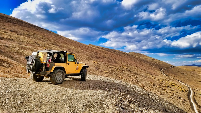
Upper McClellan Spur Road, branching off Leavenworth Creek Road, provides a thrilling and scenic journey for seasoned off-road enthusiasts. Perched above the timberline, this extreme off-camber trail showcases top-notch panoramas but demands skill with its extreme angle and bare terrain. Though camping is not an option due to the steep trail, a turnaround at the mine tailings is available. This intense and breathtaking trail is not for the faint of heart.
Updated: 09/09/2026
Elephant Skin Road
Montrose, Colorado
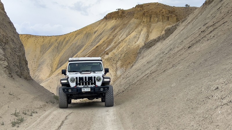
Elephant Skin Road travels through the heart of the Flat Top-Peach Valley OHV Area and connects to numerous ATV and single-track trails. It is entirely in an adobe landscape where clay and dirt make up most of the road. Given that, if wet and soggy, the road can quickly become impassable. The erosion from rain has left several ruts and washouts that you must slow down to drive across, and mud can form on the road from natural springs seeping out.
As you drive the trail, it meanders around adobe hills, each unique and individual. There are also views of the San Juan Mountains in the distance. The Elephant Skin Staging Area and Road are closed to vehicle camping to protect sensitive soil, scenic, and watershed values.
High-clearance vehicles are recommended, and 4WD if it's wet. In soggy weather, it's best to avoid this area altogether.
Updated: 09/09/2026
Napoleon Pass
Pitkin, Colorado
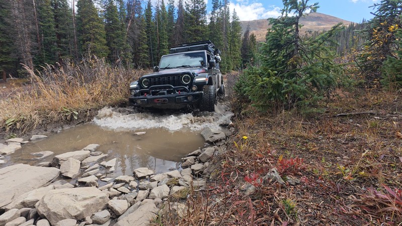
Napoleon Pass is a high-altitude mountain crossing in the Sawatch Range of Gunnison County, Colorado, reaching 12,034 feet at its summit. Named after “Frenchy” A. Napoleon Perrault, a 19th-century saloon owner from nearby Tincup, the route was first developed in 1882 as a vital wagon road connecting the gold mines of Tincup with the railhead in Pitkin. Today, it endures as a rugged off-road trail (Forest Trail 540), offering a more technical and adventurous alternative to the nearby Cumberland Pass. Drivers will navigate rocky sections filled with basketball-sized boulders, narrow tree-lined stretches, and loose shale climbs, all while taking in sweeping, 360-degree views of the surrounding peaks and Taylor Park Valley. Along the way, remnants of the region’s mining past, such as the historic Tincup Cemetery and the remarkably preserved Gold Cup Mine, add a vivid sense of history to this high-country journey.
Updated: 10/15/2024
County Road 31
Lake George, Colorado
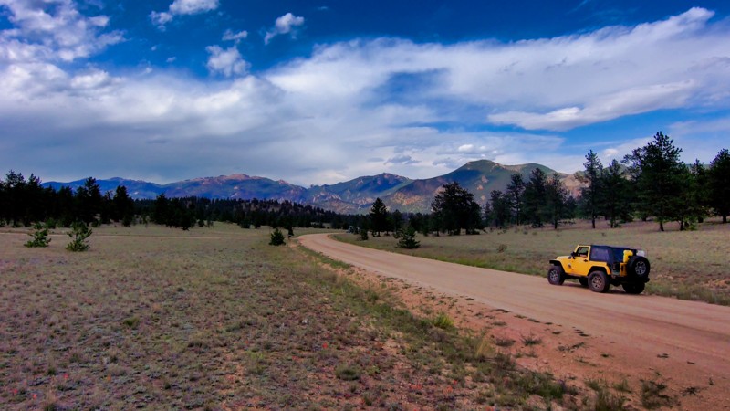
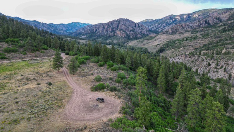
County Road 31 is a long and graded road that connects County Road 77 with US 24 and all the trails in between including Puma Road (AKA La Salle Pass) and more. This scenic drive is well worth taking, especially northbound. It's also a great place to start when looking for side-trails with campsites. There is no camping directly on this road, but nearly all connecting trails have opportunities for everything from overland rigs to large RVs.
Updated: 09/12/2026
Soap Creek
Sapinero, Colorado
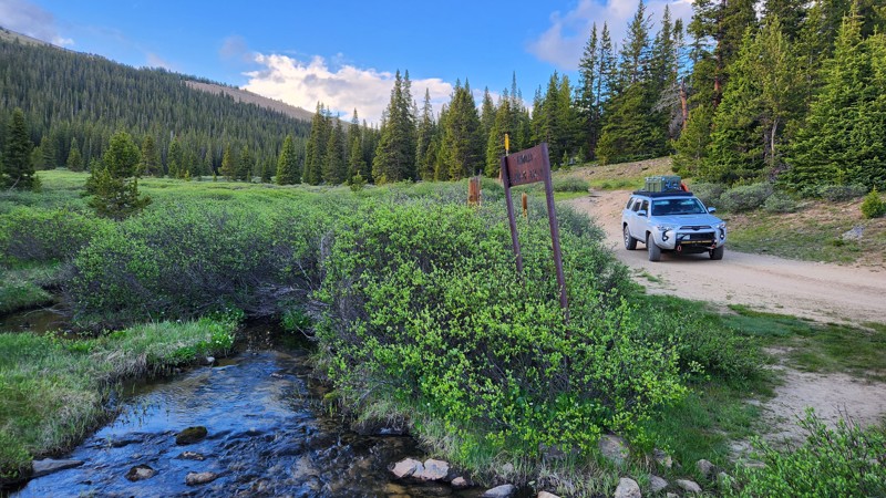
Soap Creek Road (FS #721) starts as a maintained gravel road, but transitions to a rocky but easy out-and-back trail for any high-clearance 4x4. Once gates open (often by mid-May or June depending on conditions), the first 7 miles are maintained well enough for passenger vehicles and trailers. It follows Soap Creek most of the way, ending at a trailhead into the West Elk Wilderness.
Canyon walls give way to rolling hills as you climb. A few narrow, rocky sections keep things interesting without adding real difficulty. There are a few steep climbs and descents with loose gravel and rocks. During the wetter months, there could be slick mud and shallow water crossings. Plenty of pull-offs make it worth stopping just to take in the view.
Ample dispersed campsites, both big and small, line the creek along the entire route. There is a variety of wooded, overlook, and wide-open meadow campsites. Ponderosa Campground and Soap Creek Campground (Gunnison Ranger District) sit near the start if you'd rather have a designated site.
Updated: 07/02/2026
Bear Lake Road
Leadville North, Colorado
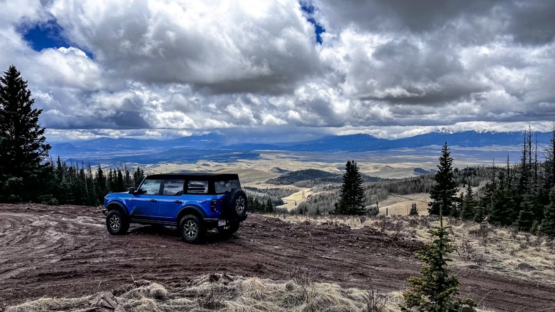
Bear Lake Road is an out-and-back trail that branches off from the north side of Turquoise Lake Road and provides access to the Bear Lake hiking trailhead and Uncle Bud's Hut, one of many 10th Mountain Division Association huts in these mountains. As you climb the mountain further into the forest, this trail takes you past a few destroyed gold and silver mines that helped put the nearby city of Leadville, CO, on the map. Overall, this trail is easy, but a few steep grades and loose rocks require a 4-wheel drive vehicle. While there aren't any good campsites on this trail, quite a few are scattered around nearby Turquoise Lake.
Updated: 07/02/2026
Burn Road
Fairview, Colorado
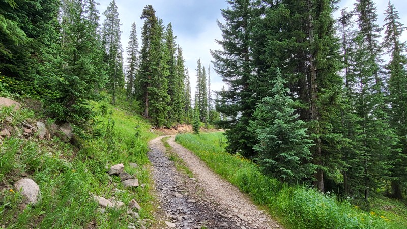
One of the more difficult trails in the area, Burn Road, should only be driven by a high clearance 4WD vehicle. When traveling from Little Froze Road, in the north, towards Deer Peak Road, in the south, the majority of the trail will be uphill. There are multiple large rocks the size of a beach ball that you will have to climb over, and if the trail is wet, front and rear lockers may be needed. All but the very south end of the trail is tucked in amongst the dense pines of the San Isabel National Forest. Upon intersecting Deer Peak Road, you are greeted with spectacular views of the Sangre De Cristo Mountains to the west. There are not any campsites along Burn Road, but Deer Peak Road and Ophir Creek Road both have numerous designated campsites available.
Updated: 07/27/2026
Middle Creek - Eiseman Hut
Vail, Colorado
The Middle Creek - Eiseman Hut trail climbs from the Lost Lake trail to the Eiseman Hut, a reserve cabin and winter survival hut. Reservations can be made at olb.huts.org. The trail begins as a narrow dirt road through a pine forest with ruts and potholes. About two-thirds of the way up, it narrows to two-track with very few places to pass oncoming traffic. There are a couple of small, low-quality campsites, but better camping is available on Lost Lake.
Updated: 06/25/2024
3 Bears
Lake George, Colorado
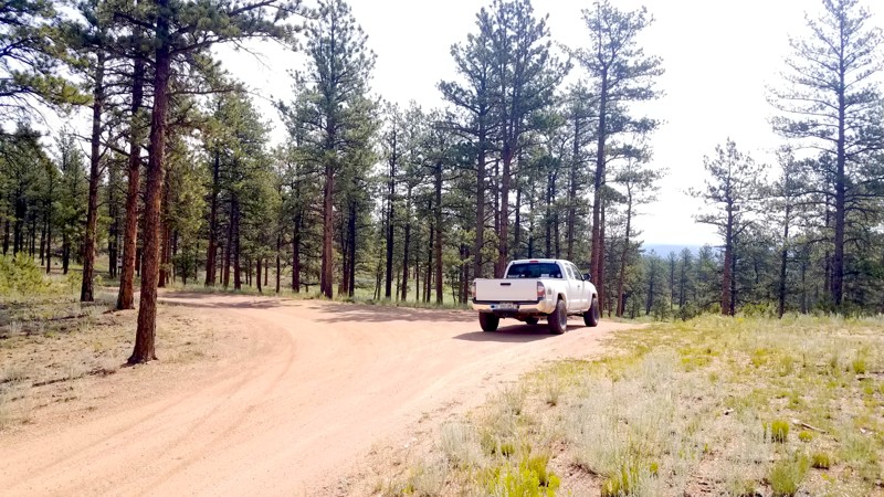
Wanna get away? Blue Mountain is a true hidden gem for camping and easy trails close to Colorado Springs. Unusual for Colorado, this area was not heavily mined during the gold and silver rushes. Instead, it was dominated by cattle ranching from the late 1800s through the middle of the 1900s. 3 Bears passes through the heart of a trail system that primarily provides access to some excellent, trailer-accessible, dispersed campsites open year-round.
Updated: 10/15/2024
Mount Herman Spur North Road
Palmer Lake, Colorado
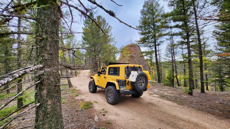
One of the many camping spurs offMount Herman Road, Mount Herman Spur North Road is a rutted drive into the forest. There is great camping here, and the track is slightly more accessible than other side trails in this area.
Updated: 06/30/2024
Preston Road/Prospect Hill Connector
Breckenridge, Colorado
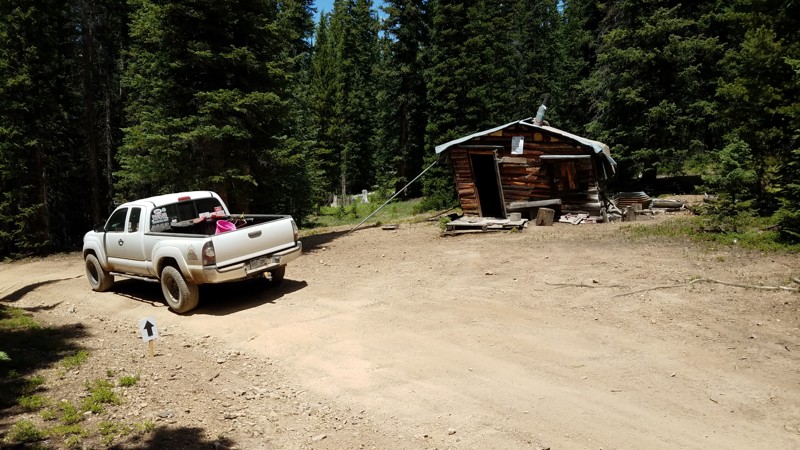
This connector provides the only short cut between the Preston Road/Galena Gulch corridor and Prospect Hill and the western side of the Golden Horseshoe. It is part of the Golden Horseshoe trail system which covers over 8000 acres between the Swan River and French Gulch. The area has a rich history and is dotted with countless mines, mills, and cabins dating from the late 1870s through the 1950s. The Golden Horseshoe is crisscrossed with 4WD, ATV, single track, mountain bike, and foot trails. Keep a sharp eye out for other folks using this network and, as always, be considerate. Stay the trail, and pack out what you packed in.
Updated: 10/15/2024
Penrose Commons 6102E
Adelaide, Colorado
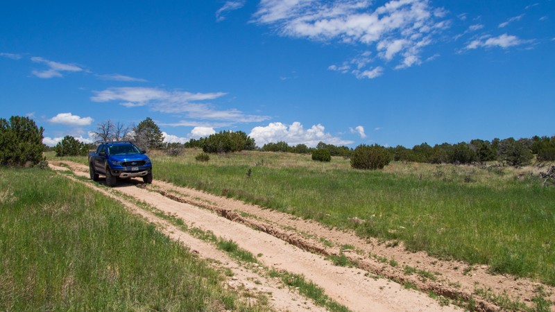
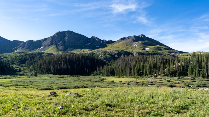
Penrose Commons is a BLM OHV recreation area near Penrose, Colorado. The area is full of crisscrossing full-size and ATV trails of varying difficulty. BLM 6102E is a 1.2-mile long out-and-back trail through open meadows and juniper groves, leading to a couple of side spurs and the southern edge of the BLM land. The trail ends at a locked gate to private property, do not proceed past this gate. There is a very small turnaround area at the end. The moderate rating of this trail is due to rocky climbs and deep washed-out ruts. This trail is suitable for any 4x4 with good clearance.
Camping within Penrose Commons is limited to designated sites only, which are marked with camping signs. No campsites can be found along this trail. Vault toilets are located at the entrance to the OHV area.
Updated: 12/11/2025
Deer Park
Silverton, Colorado
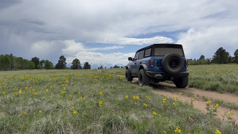
Departing from Kendall Mountain, Deer Park heads south into the Weminuche Wilderness Area and towards the Montana Mine. Although the trail is not difficult, a low-range transfer case will help drivers navigate the steep inclines scattered with loose dirt and rock. Once at the end, a couple of hikes are available, though they are generally strenuous. No camping was found along the length of this trail, though Kendall Mountain did have a few options. If you are exploring the Kendall Mountain trail, then Deer Park would be a good addition for a bit more exploring away from the other more crowded trails in the San Juans.
Updated: 08/11/2026
Locke Mountain
Galena, Colorado
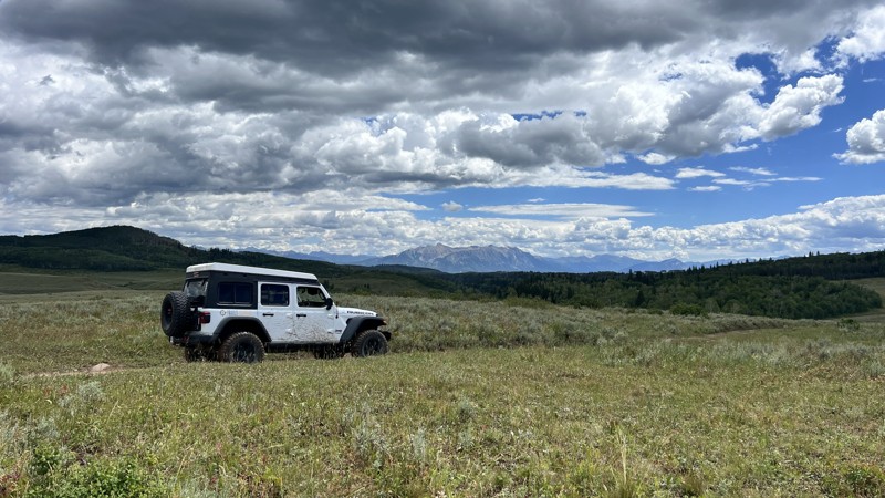
Locke Mountain begins as a well-maintained forest service road in the south, but as soon as you cross onto San Isabel National Forest property, the trail immediately becomes rougher. The overall make up of Locke Mountain is smooth dirt and loose and embedded rocks. The loose rocks are about the size of baseballs, while the embedded rocks can be as large as a beachball; tire placement can be very important with a lower clearance vehicle. Higher clearance vehicles should not have any issues along this trail. Airing down would drastically improve ride comfort along this trail. At the south end of the trail when it makes its turn north, you are greeted with a notable hill climb over loose and embedded rocks. Upon reaching the top, you are rewarded with your first view of the Sangre De Cristo Mountains. The trail then enters the dense pine and aspen forest of the San Isabel National Forest, and you remain here until you reach the north end of the trail. At this point, you enter a large grass meadow dotted with yellow wildflowers, which feels like a scene out of the Sound of Music. The views of the Sangre De Cristo Mountains are some of the best in the area at this point of the trail. There are plenty of campsites along the trail. The largest site is near the south end of the trail which has enough room for multiple vehicles and multiple ground tents. This trail can be very busy with side by side traffic, so be mindful of oncoming traffic and quicker moving traffic from behind.
Updated: 06/26/2026
Buzzard Divide
Collbran, Colorado
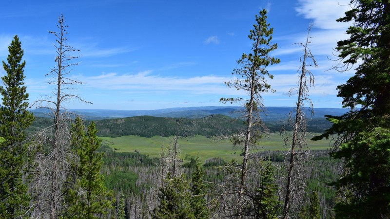
Just around 30 miles long, Buzzard Divide spans two National Forests and crosses the Buzzard-Muddy Divide. The road is historical, as it was once part of the famed 1776 Dominquez-Escalante expedition. In a few locations, signs mark where the expedition had set up camp.
The road can be driven in any direction. The northern half, starting near Collbran, lies in the Grand Mesa National Forest, where campsites are more plentiful. On the southern side, in the Gunnison National Forest, private property intermixes and limits camping opportunities, and the road terminates at Highway 133, where you can make your way to Marble and the famous Crystal Mill and other famous Colorado trails.
The fauna changes with the terrain: When lower in elevation, scrub oak is intermixed with open prairie views, and when higher, Aspen trees and pine take over. Overall, the route is mainly through a wide-open country, with sage and grassland supporting cattle grazing.
The route is suitable for any high-clearance vehicle.
Updated: 07/06/2024
Twin Mountain
Steamboat Springs, Colorado
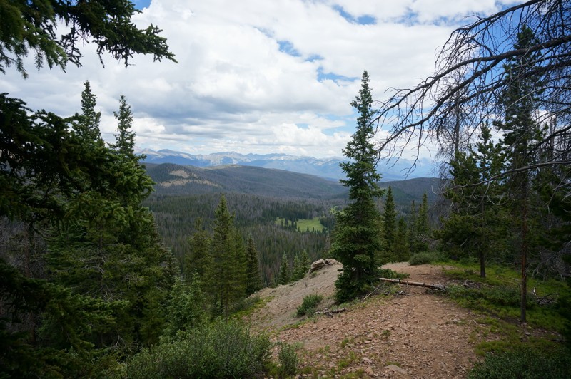
Twin Mountain is an excellent "Colorado" style offroad trail situated in the Routt National Forest. Off-roading through tightly mixed aspen and pine, you get deeper into the lush, and deep green forest this area of Colorado is famous for. There is an endless possibility of trails, camping, and other activities here for you to enjoy making this trail a must-do on your list.
Updated: 06/17/2024
Gravel Mountain
Grand Lake, Colorado
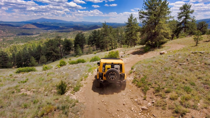
Near Grand Lake, the Gravel Mountain Trail is the perfect trail to start testing your vehicle's suspension all the while taking in mountain views of Porphyry Peak and Cascade Mountain. This four-wheel drive trail takes you through several water crossings which moose frequent, and if you are lucky you may get to see one!
Updated: 07/06/2026
Forest Service 204
Tarryall, Colorado
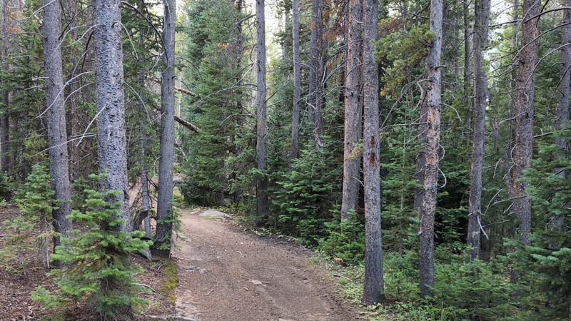
Forest Service Trail 204 offers a rough and rocky ride that's as challenging as rewarding. Part of the China Wall Trail System loop with Box Road and China Wall Road, this trail is known for its rugged terrain that tests both driver and vehicle. Heading south, you get incredible views of Pike's Peak and the Tarryall Mountains, making the bumpy ride worthwhile. It's important to note that no camping is allowed along this trail, and all visitors must stay on the trail to protect the surrounding environment. Perfect for those who enjoy a good challenge, Forest Service Trail 204 completes the loop with a fun yet demanding adventure showcasing some of Colorado's best scenery.
Updated: 06/13/2026
Little Bald
Red Feather Lakes, Colorado
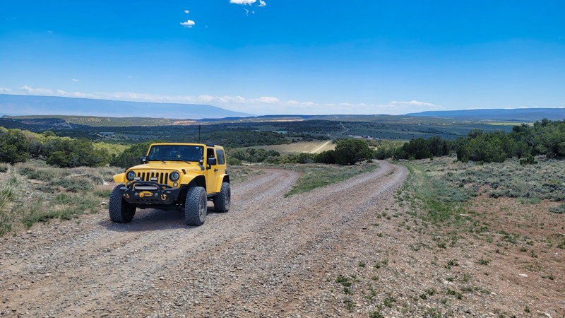
Little Bald, combined with Rocky Beaver, makes a nice connection between Pearl Beaver Road and Sand Creek Pass. The northern half of the trail is narrow, with tight turns between the trees. It's also moderately steep in places with washed-out ruts and exposed tree roots. There are several rough, rocky sections also. Once you get to the top, the trail levels out, widens, and smooths out for the southern half. There is a significant discrepancy with the MVUM on the northern half of the trail. The MVUM map shows the trail quite a bit east of the actual road, but there is no road there. Just stay on the existing road, and you'll be fine. Dispersed camping is allowed on the route, but no suitable sites were found.
Updated: 06/05/2022
Radio Tower Road
Grand Junction, Colorado
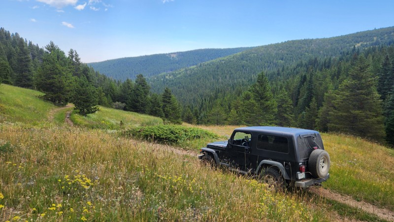
Radio Tower Road is a short trail between the Colorado National Monument and the McInnis Canyons near Grand Junction, CO. The bumpy road climbs a few hundred feet before connecting to Black Ridge Upper Road while providing views of Glade Park and the open land to the south. Keep your windows open to see all the sights and catch the smell of wildflowers, juniper, and pinyon pines that blows across the trail. Radio Tower Road isn't a destination trail, but add it to Black Ridge Upper Road and any of its connectors to fill out a day of wheeling at the canyons.
Updated: 10/15/2024
Jenny Lind Gulch
Tolland, Colorado
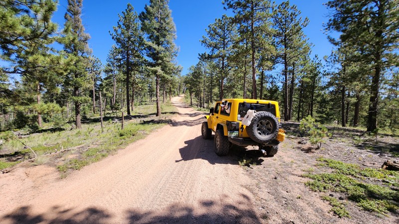
Jenny Lind Gulch goes downhill to the northwest from Moon Gulch. The trail is shown as 413.1 on the MVUM, but signage at the trailhead shows 413.2. The trail descends gradually for the first half mile before making a sweeping turn to the north. The trail crosses a beautiful open hillside full of wildflowers before entering the forest to follow the gulch downhill for another mile and a half.
There are rocky sections and two very tight corners between trees. The second of these is the hardest because it includes a root and rock ledge about 12 inches tall. Jenny Lind Gulch ends just before a muddy bog, according to the MVUM. There are tracks across the bog, but you shouldn't follow them. Turn around and return the way you came. It is a good idea to bring a saw with you. Tree falls blocking the road are quite common.
There are no established campsites on this trail.
Updated: 10/01/2023
Phantom Sale 1
Divide, Colorado
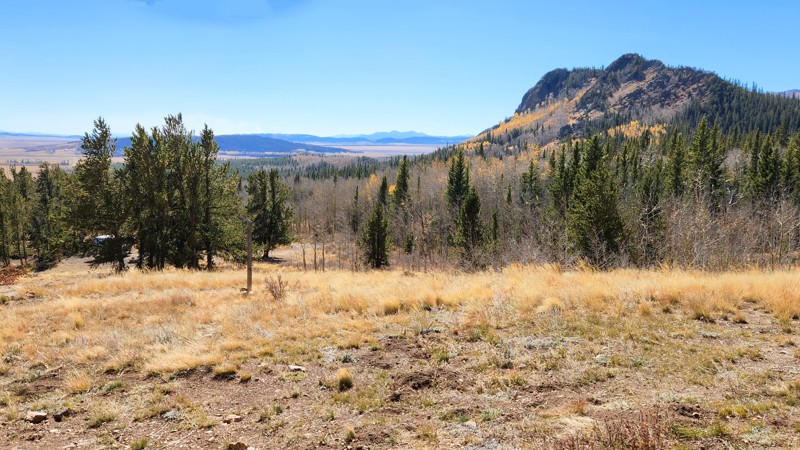
Tucked away within the expanses of Pike National Forest, Phantom Sale 1 Road serves as an engaging link between the popular Rule Ridge Road and Phantom Road. This trail offers a unique blend of mild off-road challenges, perfect for a quick journey through Colorado's mesmerizing wilderness. As you break through the curtain of lush trees, you're greeted by expansive vistas of the Hayman Burn area, a poignant testament to the power of nature. The panoramic view stretches far into the valley, offering an awe-inspiring perspective of the fire's scale and its transformative effects on the landscape. Phantom Sale 1 Road, while presenting subtle challenges, primarily offers an effortless journey through Teller County's trail system, inviting all levels of drivers to absorb its unforgettable scenes and engage in an immersive off-roading adventure.
Updated: 10/15/2024
Deadman
Jefferson, Colorado
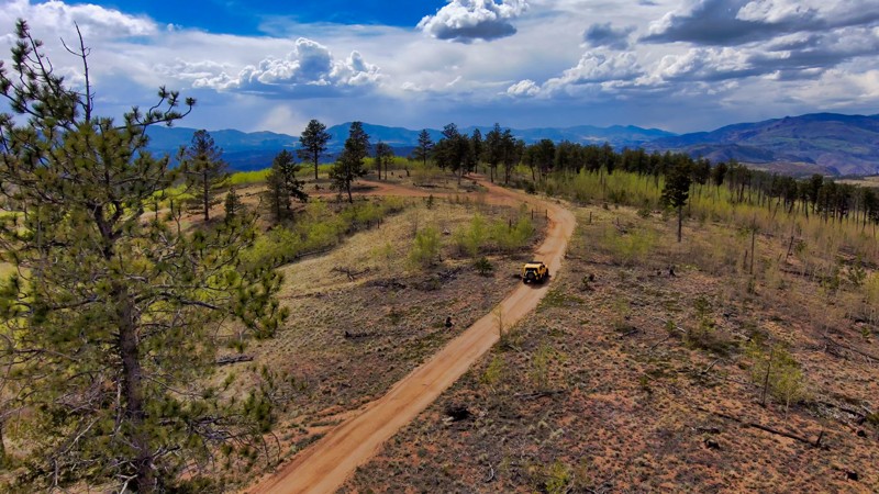
Deadman is the western access to the network of trails that parallels Kenosha Pass on the west side of the highway. It is a right turn off the road to Jefferson Lake (County Road 37), just before the fee station. Technically, Deadman is an out-and-back route, however, it makes an important connection to Wahl before turning up Deadman Gulch to the dead end. The road is classified as maintained for passenger cars, but you wouldn’t know it from the road conditions. While easy by 4x4 standards, it would be very difficult for anything with low ground clearance. Nevertheless, this designation makes it closed to unlicensed ATVs and motorcycles. Camping is not allowed in the first quarter mile, but after that, camping is permitted, and there are several very nice sites. As with all the trails in the network, Deadman is a great trail for viewing fall colors.
Updated: 03/07/2025
Crystal Creek Road
Lake George, Colorado
Crystal Creek Road travels from Cedar Mountain Road to County Road 32, providing an alternate way in and out of the local trail network. The trail connects to multiple smaller trails that crisscross the area. The real gem on this trail is the water crossings and fantastic scenery in and out of the Hayman Burn scar. Dispersed camping is allowed in the area, and several established sites are along the way.

Upgrade your Membership
Unlock all of the details on every Trail Guide and Scout Route.
Start a 7-day Free TrialBrowse Trails in Colorado by City
Browse every Colorado city with offroad trail guides.
Community
Partners

