













By clicking "ACCEPT", you agree to be the terms and conditions of each policy linked to above. You also agree to the storing of cookies on your device to facilitate the operation and functionality of our site, enhance and customize your user experience, and to analyze how our site is used.
Colorado Off-Road Trails
602
Total Trail Guides 575

6450
Detailed Waypoints 568
Try a Free 7-Day Trial and unlock it all
Start a Free Trial Most Recent Trail Reviews
Rated 5/5
Open
Visited: 09/25/2026
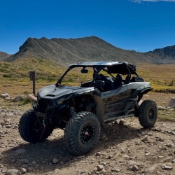
Pretty views but mostly overcast the whole time. No snow up here like there was over at engineer. Bathrooms are closed.

Tyler
Rated 4/5
Open
Visited: 09/25/2026
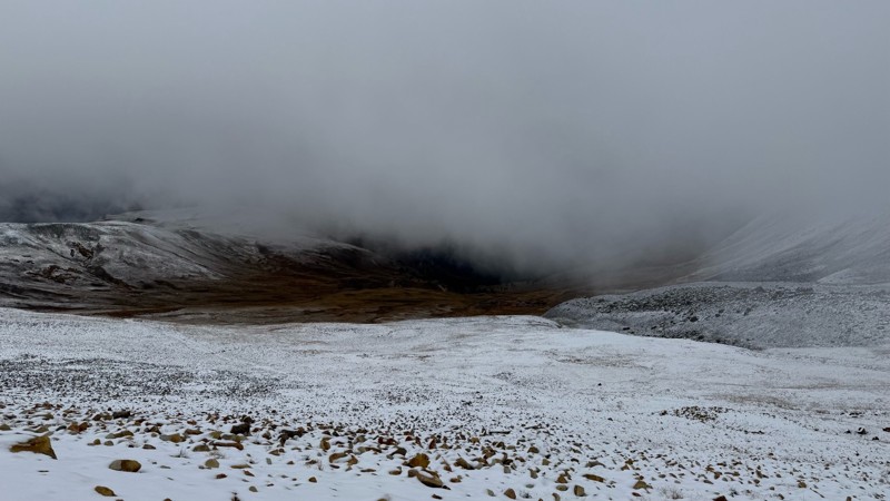
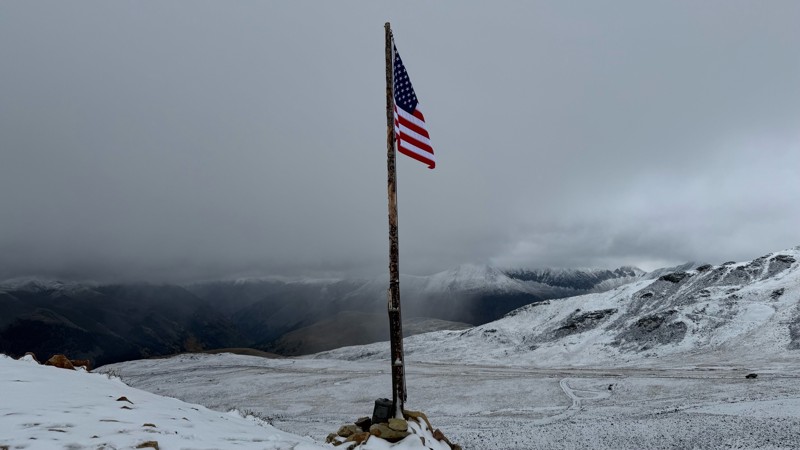
Pretty bumpy with some more rough spots near the top. Has been mostly overcast due to the storms lately. Decent amount of snow up at the top.
Tyler
Rated 5/5
Open
Visited: 09/25/2026
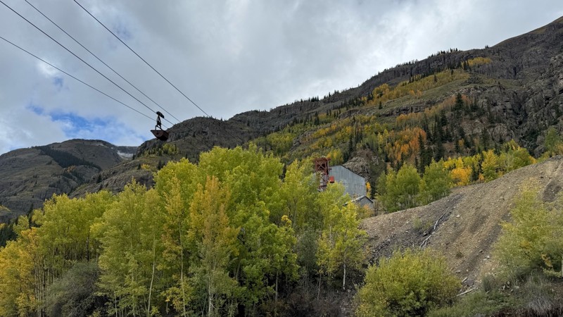
Beautiful fall colors, waterfalls and mining sights. Easy road till you get closer to the pass.
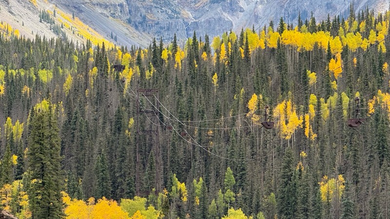
Tyler
Rated 5/5
Open
Visited: 09/24/2026
Amazing! Maybe my new favorite trail, at least in Colorado. It was a perfect fall day and no other vehicles on the trail. A bit wet and misty added to the challenge. Pulled line twice mostly because o...
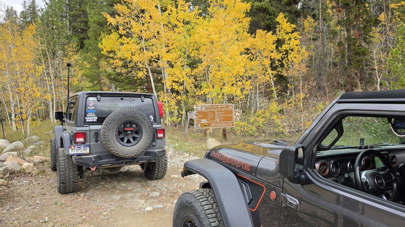
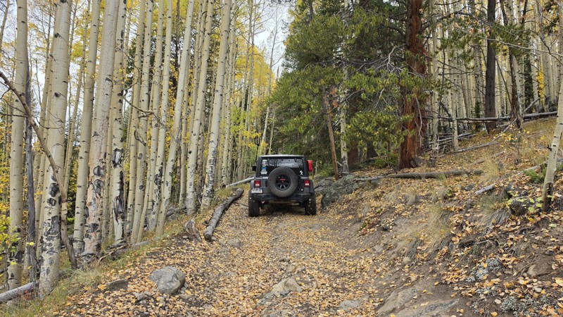

Corey Charlick
Rated 5/5
Open
Visited: 09/24/2026
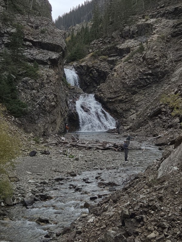
Schofield's reputation is well earned. The shelf roads were sketchy in a few spots, but they were wider than I expected. I was traveling north to south.
Flying solo I was more sketched out for th...
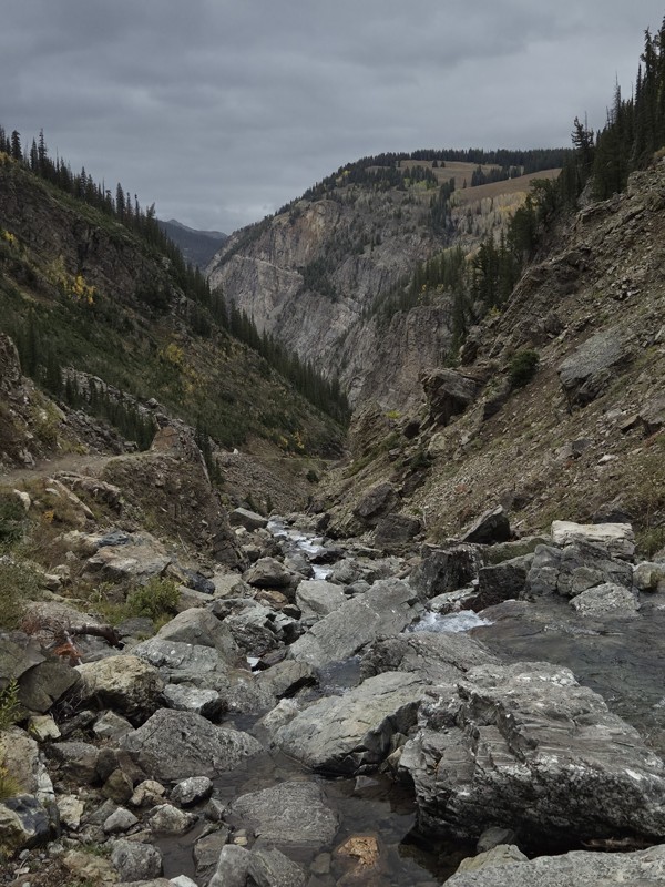
CH
Chris Hebner
Rated 5/5
Open
Visited: 09/24/2026
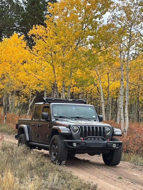
Fun easy trail with great views. Caught the aspens peaking.
LL
Louis L
Rated 5/5
Open
Visited: 09/23/2026
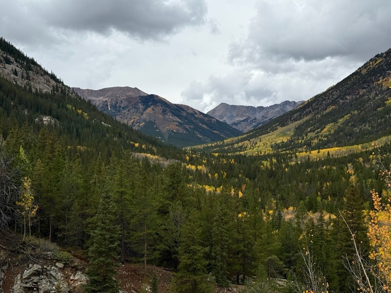
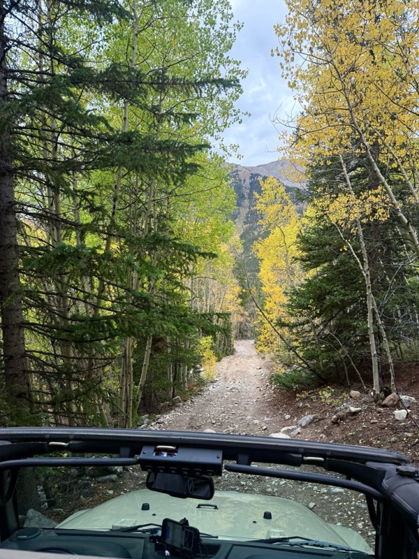
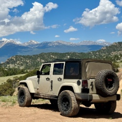
This was a nice trail with little difficulty but plenty to offer between the creek crossings, peaceful forest, good views, and an awesome lake a short walk from the end.
Normally an “Optional” diffic...
Josh
Rated 4/5
Open
Visited: 09/23/2026
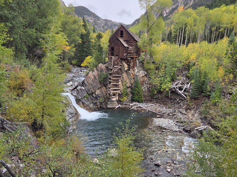
BUMPY!!! Don't let the 2 rating fool you. The trail isn't at all difficult, but it is bumpy! I arrived in the area in the afternoon and thought I'd take a quick trip up to check out Crystal Mill. ...
CH
Chris Hebner
No Rating
Open
Visited: 09/23/2026
Great medium level drive. Allow time to get to trail head as the washboard getting there is rough. It was worth it though.
KE
Keith Early
Rated 5/5
Open
Visited: 09/23/2026
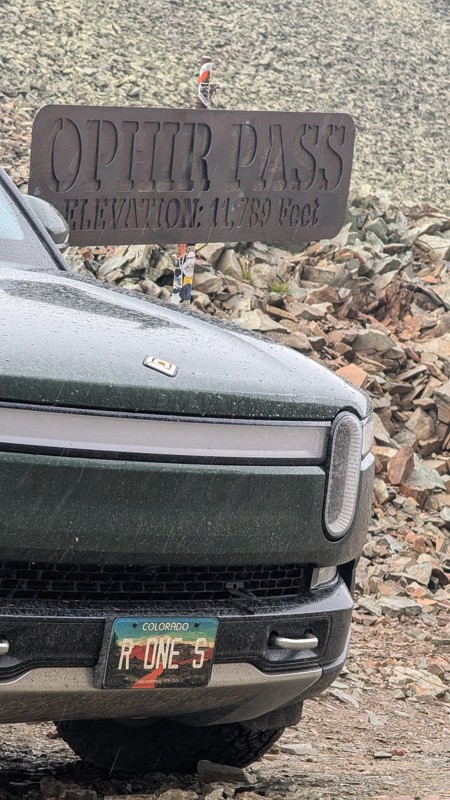
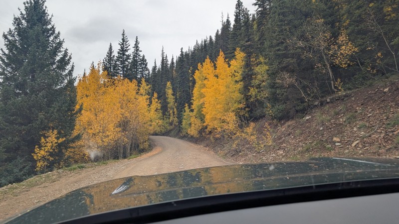
nice trail with good views. a classic in the San Juans... it's not quite as easy as 2 but not a true 3 either. Totally doable with a stock 4WD.

Mustafa ParDane
Official Crew
Rated 5/5
Open
Visited: 09/23/2026
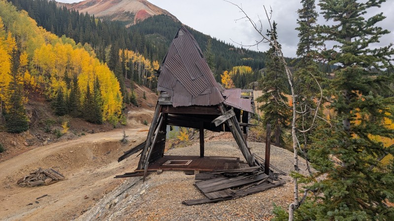
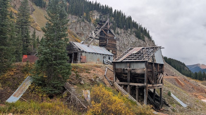
Nice fun easy trail! You will see lots of mines. I mean lots of them. If you are into it, this is the trail for you :)
Mustafa ParDane
Official Crew
Rated 5/5
Open
Visited: 09/23/2026
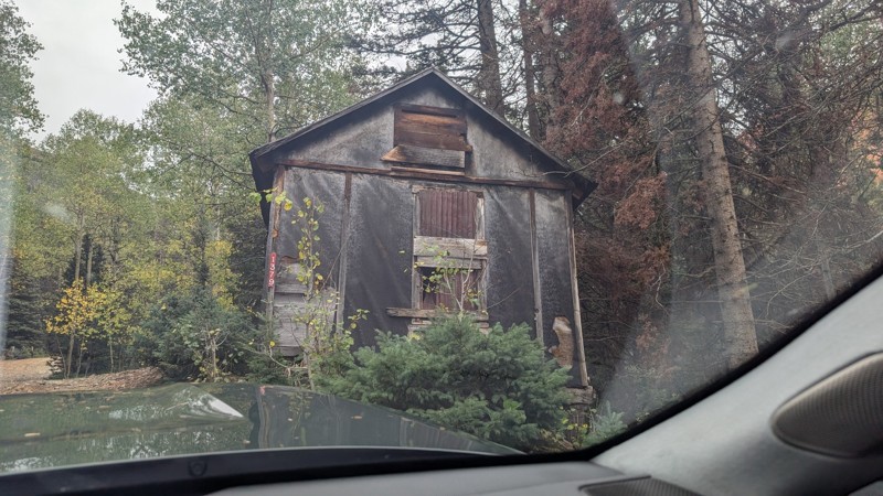
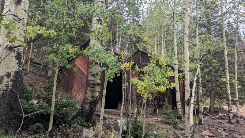
It's a steep climb all the way from the beginning to the top but there is no real obstacles. You will see some cool mines. And the views are awesome. You will see some good views of the Red Mountain p...
Mustafa ParDane
Official Crew
Rated 5/5
Open
Visited: 09/23/2026
We frequent this route probably once a week from GoG to Woodland Park. Be very careful on the blind curves - no shortage of knuckleheads driving way too fast (a biker was struck fatally in June). Us...
TC
Tim Crane
Rated 5/5
Open
Visited: 09/22/2026
Scenic road connecting to other alpine loop trails. it's not very technical or hard. but if you don't prefer shelf roads, maybe that can be considered hard. Red Mountain peaks are awesome. the scenery...

Mustafa ParDane
Official Crew
Rated 5/5
Open
Visited: 09/22/2026
Besides the shelf roads, there is not other bug obstacle or anything technical. As always, it has really good views :)


Mustafa ParDane
Official Crew
Rated 5/5
Open
Visited: 09/22/2026
Views are awesome as always with any alpine loop trails. There is a very short hike at the summit that takes you to even higher point with better views. Lake Como looks very good from there.


Mustafa ParDane
Official Crew
Rated 5/5
Open
Visited: 09/22/2026
Started from Lake City as most people recommend running the alpine loop clockwise. I think that was a wise choice because I didn't have a lot of ongoing traffic. The views are awesome and they start r...


Mustafa ParDane
Official Crew
Rated 5/5
Open
Visited: 09/22/2026
Tough trail, lots of technical spots throughout. Dont attempt solo or with any kind of stock truck!


Greg Dermann
Rated 4/5
Open
Visited: 09/22/2026
Just a dirt road with lots of potholes. Nothing technical. Drove this up to the 401 Trailhead to bike. Pretty busy with folks camping and leaf peeping. Overall it is in a pretty area and theres good c...



Davis McPherson
Rated 4/5
Open
Visited: 09/22/2026
Ok I have not run that trail in the last 4 years. I don't recall it looking like the photos. Did it recently get this way (rock garden) and get the difficult rating?
C
coyoteslocos
No Rating
Temporary Closure
Visited: 09/21/2026
Sign at the bottom of the hill says road construction but when you get to the turn off it is blocked.
PD
Paul Dixon
Rated 5/5
Open
Visited: 09/21/2026
Ran the trail from Westcliff side over the pass and into Great Sand Dunes NP. Had great weather. Don't think it had rained much in the days prior. So, the trail was dry. Think the difficulty ratin...



Stephen
Rated 5/5
Open
Visited: 09/21/2026
Id put it at a 3 some larger rocks mud and shelf roads: beautiful trail. Highly recommend.


Brian mckie
No Rating
Open
Visited: 09/21/2026
There is an area towards the end of this trail not long before it opens into the meadow that is very shaded and has become a mud hole. Well, somebody with a vehicle not capable enough to get through i...

Curt Greeley
Rated 5/5
Open
Visited: 09/20/2026
Ran this trail for the first time on 9/20/26. Absolutely stunning views and the leaves were almost at peak. This might be my new favorite trail to run during this time of year. Not difficult, but long...



Jack Mackie
Rated 4/5
Open
Visited: 09/20/2026
I wanted to run this trail on my way out from the gulches area but when I got down to the first stream crossing it had a few large logs placed in it. Im not sure if this is for traction or what, but I...
Jack Mackie
Rated 5/5
Open
Visited: 09/20/2026
First time out here and I ran this alone on 9/20/26 coming back from Old Stage 220. Took Sportsman Rd to get to 220 so I decided to take this to trail to get back to Cedar Mtn Rd. This is more fun tha...
Jack Mackie
Rated 5/5
Open
Visited: 09/20/2026
This is one of my favorite trails. I like to start at St. Mary's and run it in reverse lf this trail guide. I prefer to take most of the steep sections downhill, but if you want a fun challenge, then ...


Tim
Rated 5/5
Open
Visited: 09/20/2026
Ran this on 9-20-26 up to the Phoenix rocks. WK2 3" lift on 33's. Never been in this area before but I have read many of the reviews on here about the gulch trails. I was alone and the phoenix rocks w...

Jack Mackie
SH
Sharon Hansen
Rated 5/5
Open
Visited: 09/20/2026
Maiden voyage for my stock suspension 1994 Wrangler. The trail was surprisingly rocky in the beginning. Beautiful views and not too much traffic.
SH
Sharon Hansen
Rated 2/5
Partially Open
Visited: 09/20/2026
While there were some aspen views, this is not the best place to find them. Most of the views of the surrounding area are obscured by pine trees that are close to the road. Many of the overlooks are o...
MG
Mike Gerdts
Rated 4/5
Open
Visited: 09/20/2026
We enjoyed the trail. Beautiful scenery. Definately narrow in some areas. The terrain itself wasn't so difficult. Clearence is needed for some of the rocks in the trail.


Lisa Johnson
Rated 4/5
Open
Visited: 09/19/2026
Ran it in a 157"WB F150 on 33's, and would probably run it in a passenger car. Great views, easy climb and the switchbacks were totally navigable in a fullsize. Some of the roads on top are more app...
J
Justin
Rated 5/5
Open
Visited: 09/19/2026
The last descent at the end is kind of muddy so take it extra slow.



Joshua Scurran
Rated 5/5
Open
Visited: 09/19/2026
Ran east to west. The ascent at waypoint 14 has been cleaned up considerably - not sure if this was the work of the recovery crew we passed who were headed up Mt Baldy road, but it was much less rocky...

Jeff Dew
JG
Joseph G Botthof III
No Rating
Temporary Closure
Visited: 09/19/2026
Following up on Ryan's post, multiple incidents have occurred of vehicles sliding off the trail at washouts. CO4x4RNR was up yesterday recovering a vehicle, and we were told the trail will remain clo...

ERIC D BROWN
Rated 5/5
Open
Visited: 09/19/2026
Epic views at the top make this in and out road a must see on my list. Shelf roads with a few areas for passing. Switchbacks and 12"-18" boulders in only a few places to navigate. 4wd and good clearan...



Desi
Rated 5/5
Open
Visited: 09/19/2026
Expect closures Sept 21-24 for pipeline maintenance starting near the trestle. Perhaps related, there’s a rusty 4-6” pipe sticking out of a puddle near the trailhead at the top.
It’s been a bit rai...

MG
Mike Gerdts

Kirk Kneezle
Kirk Kneezle
Kirk Kneezle
WH
William Harkcom
Rated 5/5
Open
Visited: 09/18/2026
Great trail. Lots of fun, great views. Loved all the rock outcroppings.



Jessica H
Rated 5/5
Open
Visited: 09/18/2026
Short but fun. Right mix of technical and scenic. Ran this with Solitude Creek. Great views but that initial climb looked daunting but once you get into it wasn’t that bad.


Jessica H
No Rating
Temporary Closure
Visited: 09/18/2026
Forest Service has closed the trail due to washout damage. No ETA yet on fixes or reopening.


Ryan Boudreau
Official Crew
No Rating
Open
Visited: 09/18/2026
Only drove it to the Chinns Lake cutoff, but that part was in great condition. They've recently laid down new gravel on the lower portion in the neighborhood, it is super smooth.
S
Scott
Most Popular

Updated: 09/10/2026
Rainbow Lake Road
Sapinero, Colorado
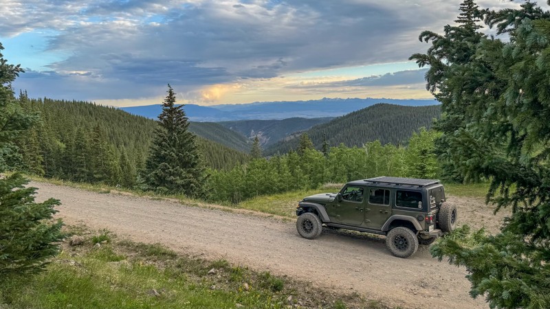
Beginning near Blue Mesa Reservoir on Highway 50, Rainbow Lake Road is a relatively easy out-and-back trail that climbs to an elevation of over 11,000 feet above sea level. It is a gravel road with sections that are washboard and have protruding rocks, which can make the drive pretty bumpy.
The 13-mile trail crosses multiple land management agencies, including the Bureau of Land Management, Colorado State Land, and the Gunnison National Forest, all of which have signage. It passes through low shrublands, dense stands of Aspen trees, and healthy Pine and Spruce forests. Between the 12th and 13th mile markers, there is a large unnamed pond and a spur trail (724.2A) that leads to Rainbow Lake, which is known for exceptional fishing.
Several spur trails and pull-offs lead to campsites, some suitable for a single rig and others wide open enough for an entire convoy. The Rainbow Lake spur offers spacious shoreline camping right on the lake. However, the parcel of Colorado State Land does not allow camping or campfires.
At the northernmost point is the Rainbow Lake Trailhead for a strenuous 10-mile hike into the West Elk Wilderness.
Rainbow Lake Road is closed to motorized vehicles from March through mid-May for wildlife protection and spring mud.
Updated: 06/29/2026
Homestake Road
Red Cliff, Colorado
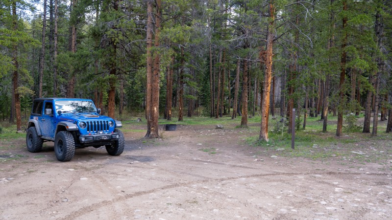
Once serving as a stagecoach route to the gold towns of Gold Park and Holy Cross City during the 1880s gold boom, Homestake Road is now a well-maintained, hard-packed dirt and gravel recreational access road. This wide dirt road winds through a glacial valley of lush meadows and thick pines, and offers an endless array of recreational activities such as fishing, camping, hiking, 4-wheeling, and non-motorized boating. The road is suitable for any vehicle, with the only concerns being the occasional washboard and pothole.
Dispersed camping along the road is restricted to designated sites only, marked with a sign and a steel fire ring. There are roughly 40 campsites along this stretch of road, ranging widely from hike-in campsites to large travel trailer sites. Some sites are suitable for just a single vehicle, while others can accommodate large groups. At 1.9 miles, there is a large OHV staging area with two fire rings, which is often used by trucks and trailers using the area to offroad for the day. If you are looking for something a little more formal, Gold Park Campground is a Forest Service-run campground located 7 miles down the road that has a bathroom and charges a nightly fee. During summer weekends, these campsites are popular and fill up fast.
Updated: 07/13/2026
Upper Johns Gulch
Woodland Park, Colorado
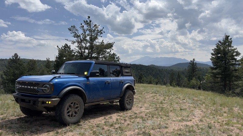
The trailhead for Upper Johns Gulch is somewhat tucked away, which explains why the trail is not driven more often. Like many of the trails in the area, Upper Johns Gulch has been changed by heavy rainfall. There are two washouts that may be difficult for a lower-clearance vehicle. A stock 4WD will have no issues with this trail.
There is a large campsite about two-thirds of the way down the trail with fantastic views of Pikes Peak. The campsite is relatively flat, large enough for multiple rigs, and has an established fire ring.
The trail ends short of the MVUM map due to a large amount of downed trees. There is space to turn around and head back the way you came.
Updated: 03/29/2024
Echo Valley Road
Bailey, Colorado
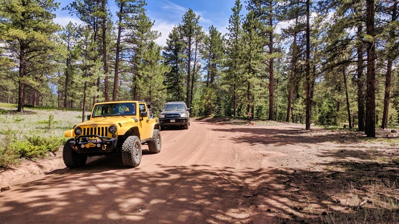
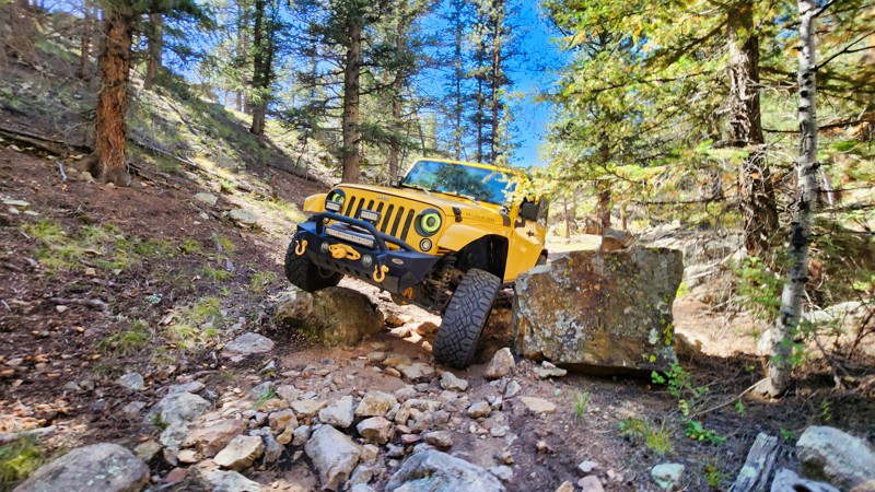
Echo Valley Road is a serene journey through the quintessential Colorado forest landscape. Situated within the vast Buffalo Creek Recreation Area, this easy dirt road immerses travelers in the tranquil embrace of nature. While its simplicity mirrors nearby trails, Echo Valley Road stands out by offering a densely forested experience, letting adventurers revel in the sights and sounds of untouched woodland. For those looking to delve deeper into the surroundings, the area presents countless opportunities for hiking and biking, ensuring Echo Valley Road is more than just a passage—it's an invitation to the heart of Colorado wilderness.
Updated: 10/15/2024
Forest Service 259.A
Lake George, Colorado
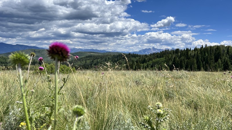
This short spur road off R.I.M. Road is one of the most difficult spurs in the area, largely due to the rocks that squeeze full-size vehicles and force your to climb over. This out and back is for the adventurous and those not afraid of using their sliders.
Updated: 06/29/2026
Stevens Gulch
Bowie, Colorado
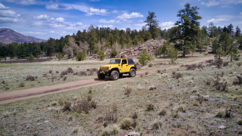
Stevens Gulch is a north-south road connecting Paonia, Colorado, to Buzzard Divide. In the northern sections, most of the road is on public land, while in the southern sections, it intermixes with private land. It travels through mostly open country, with panoramic views for most of its length. En route, anticipate maintained gravel the entire time, which makes it suitable for any high-clearance vehicle. The road is open year-round to the private land sections and seasonally closed in the north.
Surprisingly for its distance, you won't find an abundance of camping, but it does exist. Look towards the end of Overland Reservoir for great dispersed campsites.
Updated: 11/27/2023
Sixteener Road
Lake George, Colorado
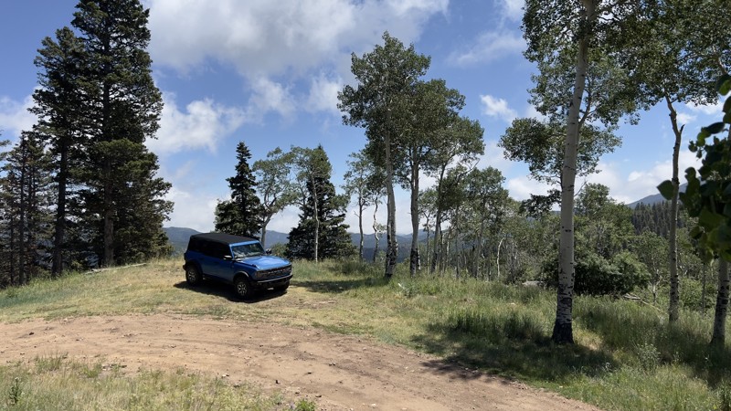
Sixteener Road, a portal to the extensive network of trails within the Tarryall Mountains, is a gem just a short drive from Colorado Springs. It uniquely presents unobstructed mountain vistas that stand out from typical front-range views. Due to strategic logging, the thinned forest becomes an idyllic playground for snow-wheeling, as the depth of snow remains manageable. A trip on Sixteener Road following a fresh snowfall guarantees a mesmerizing spectacle of sun-kissed snow, making it an irresistible destination for year-round offroad enthusiasts.
Updated: 07/02/2026
Little Froze Road
Fairview, Colorado
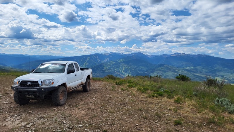
If you’re looking for something off the beaten path and a little bit more rugged than Ophir Creek Road, then Little Froze Road is for you. There are a few rocky sections with basketball-sized embedded rocks to be navigated. Little Froze Road could be driven by a lower clearance vehicle with proper tire placement, but be mindful that Burn Road on the west end of Little Froze Road is not suitable for lower clearance vehicles. Be sure to take Deer Peak Road if clearance is an issue.
There is a large campsite, suitable for multiple vehicles and campers, at the east end of the trail and multiple smaller campsites generously spaced out along the trail. As you near the west end of the trail, be sure to roll your windows down and take in the aroma of Douglas Fir trees, which smells like Christmas year-round.
Updated: 07/27/2026
Beard Creek
Edwards, Colorado
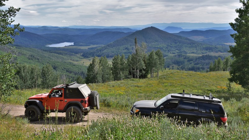
Beard Creek is part of a loop along with Tames Creek and Power Road. If traveling from south to north, Beard Creek overs several small rock shelves and loose hill climbs. The Hero Photo shows our truck descending one of these from north to south. And don't forget to check out the southerly views of Beaver Creek ski resort. The trail continues to the north beyond our track to a nice, large campsite.
Updated: 06/19/2024
Twin Saddle
Clark, Colorado
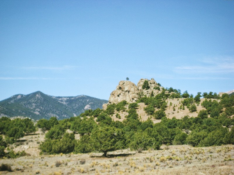
Scenic splendor is what you can expect to find on this rugged trail that is part of the network of roads surrounding Hahn’s Peak. Twin Saddle Road offers an enjoyable drive through the mountain's forest as well as some extraordinary views of the southern valley and Steamboat Lake. With its rocky surface, undulating terrain, and steep climbs, the road will provide an exciting drive experience to match the views offered by mother nature. When combined with other routes in this patchwork of trails on Hahn’s Peak, Twin Saddle will not disappoint your sense of adventure.
Updated: 06/29/2024
Fourmile Area: Eagles Roost
Buena Vista, Colorado
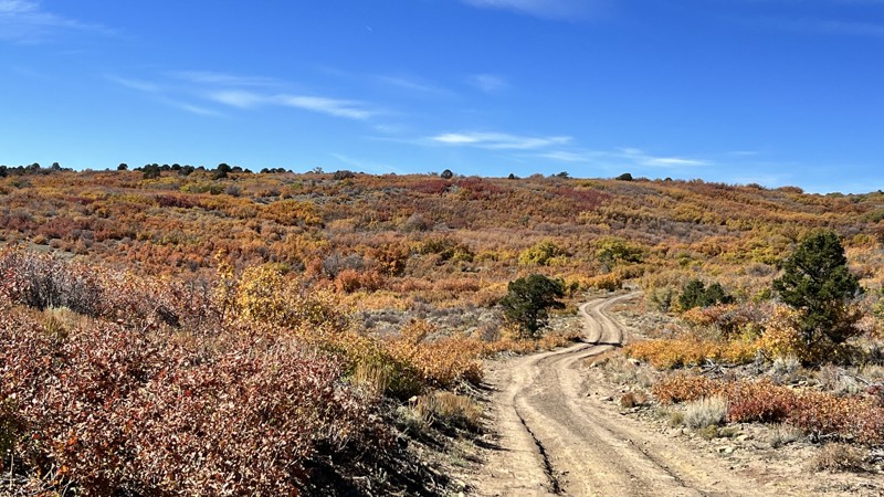
Eagles Roost (FS 375A) is a short cut, which allows you to access the Fourmile Creek Trail from Waypoint 3 of the Natural Bridge trail. You could also drive this trail in reverse and access the Natural Bridge Trail without driving the Spanish Mills trail first. Several campsites are located along the route and camping in these sites can make for an ideal staging area with central access to the numerous trails in the Fourmile area. The cliff face near the Fourmile Creek crossing is great Eagle habitat so keep an eye on the sky as you travel through the area.
Updated: 06/04/2026
Brushy Ridge
Keyhole, Colorado
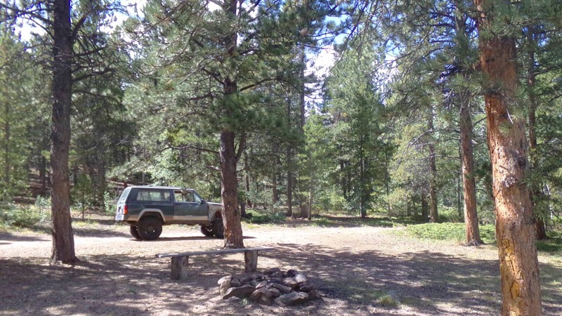
Brushy Ridge travels through the Uncompahgre National Forest and connects to not only a network of other forest roads but also Divide Road and Escalante Canyon Road. This provides a pick-and-choose sightseeing journey from the aspen trees on this road to the reddish canyon walls on Escalante Canyon Road. Camping is abundant. The road is suitable for any high-clearance vehicle.
Updated: 12/31/2023
Columbine Sale
Central City, Colorado
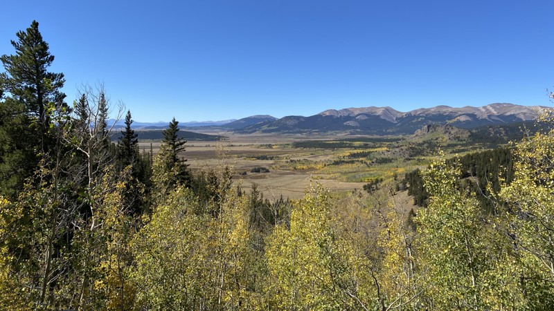
Columbine Sale is kind of the orphaned cousin of the Yankee Hill network. No longer connected to the network, it sits alone largely unknown and overlooked. Even so, this little out and back spur has plenty of charm and beauty as it winds its way through pine forest and small aspen groves over small ruts and mildly rock spots. This is an ideal trail if you are looking for easy access to a place to have a secluded picnic in the forest. On the way out you are treated to some very nice views of General Chase Gulch Reservoir and the surrounding area.
Updated: 10/15/2024
T Pit
Jefferson, Colorado
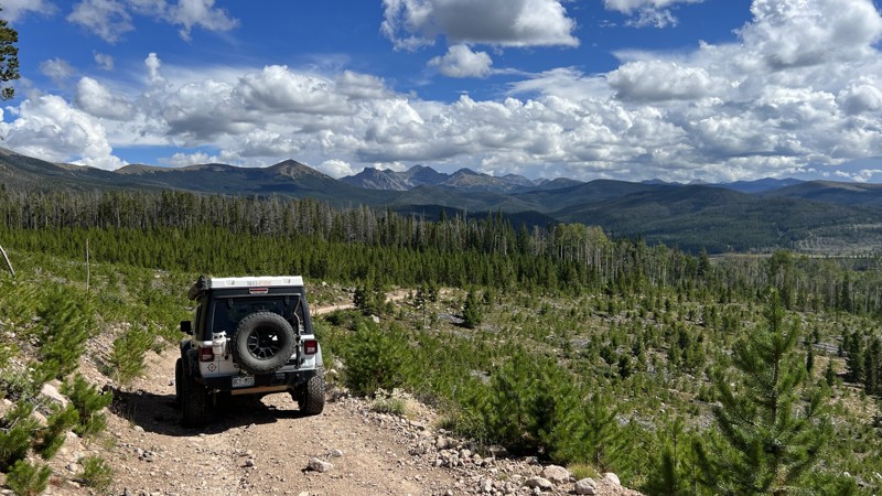
There is a fun little network of easy-to-moderate trails paralleling Kenosha Pass on the west side of Highway 285. T-Pit is a major way to access this network from the east. It begins as a left turn off Lininger Lake Road (County Road 58), a little less than a half mile past the turn-off for Timberline Campground. T-Pit is technically an out-and-back trail, but it intersects with Lininger Cutoff and Foreign so only the last segment, after the intersection with Foreign, is truly out-and-back. The road surface is mostly rough dirt with small rocks and ruts. It climbs steadily up to the intersection with Foreign. There is a large, open area at that intersection with several campsites at the top of the ridge. Going straight on the main path will take you onto Foreign (811). To stay on T-Pit, bear right through the camping area and look for the trail going northwest out the other side. Don’t turn too sharply right, or you will end up on an old mining spur that is now closed. At this point, the trail becomes much narrower and slightly off-camber in places, although the road surface is fairly smooth. This often-neglected section is worth the trip for the spectacular views of South Park and Michigan Hill.
Camping is allowed only in designated sites until after the intersection with Foreign. The are many suitable sites. As with all the trails in this network, T-Pit is a great trail for viewing fall colors.
Updated: 09/10/2026
Ruby Jewel Road
Gould, Colorado
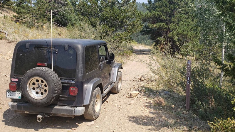
If you are looking for a bit of challenge and access to the lesser-traveled hiking trails within State Forest State Park, Ruby Jewel Road is going to be your hidden gem. This is arguably one of the harder trails within State Forest State Park and offers a bit of a challenge for a stock rig. The payoff for making it to the end is the hiking options that take you deep into the lush and unpopulated forest.
Since this is a designated route within State Forest State Park, a daily permit is needed unless you have opted-in for the Keep Colorado Wild Pass, which allows access to any Colorado State Park. All camping is designated here as well, and there are several yurts you can reserve if you'd like a bit more comfort while exploring this state park. There is no dispersed camping within the park.
Updated: 07/28/2026
Woodpecker Creek Spur
Central City, Colorado
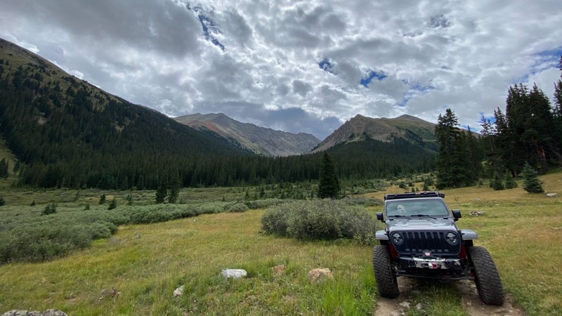
This little spur can be a pleasant addition to the Hamlin Gulch trail. It offers the same spectacular views to the south and west as you traverse the open hillside and it leads to the best campsite of any along Hamlin Gulch or Upper Hamlin Gulch-Brumfield. This campsite can also make a nice lunch stop if you are not spending the night. The end of the trail and the campsite are along Woodpecker Creek, which is an intermittent stream and may or may not have water in it, depending on the time of year and recent rainfall.
Updated: 08/11/2026
Sayres Gulch
Winfield, Colorado
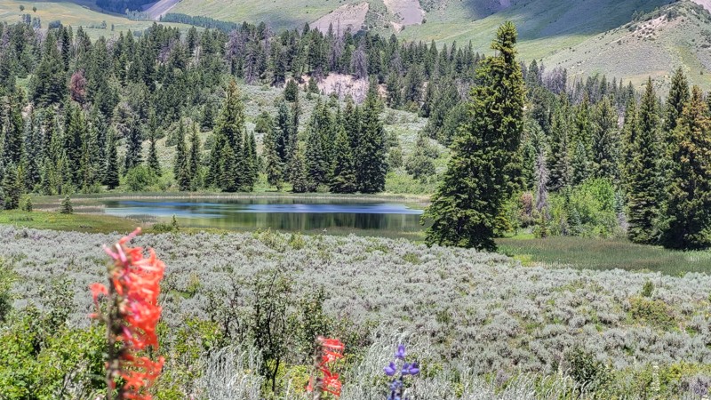
Sayres Gulch departs South Fork Lake Creek and heads south along NFSR 382. The trail ends at just under two miles from the Collegiate Peaks Wilderness boundary. The trail is not heavily trafficked, and there are a few dispersed campsites along the way. Keep an eye out for hikers using this route to access the Wilderness Area.
Updated: 07/05/2023
Blue Lake
Wolcott, Colorado
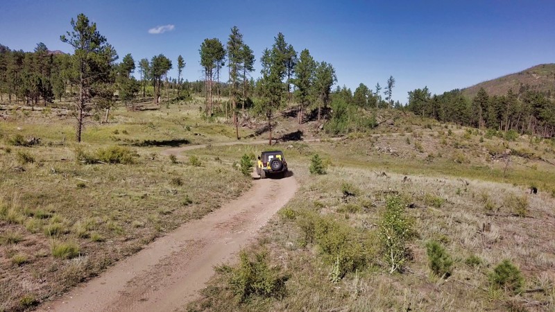
At the southern border of the Castle Peak Wilderness, Blue Lake 4WD trail passes through low wetlands and creek crossings on its way to scenic Blue Lake. Lower in altitude and more tree-covered than neighboring trails, Blue Lake can be a welcome respite from the summer heat. The less traveled trail makes the few established campsites feel more secluded. The lake itself is accessible via a short hike from the end of the trail.
Updated: 06/15/2024
Platte Springs Road
Lake George, Colorado
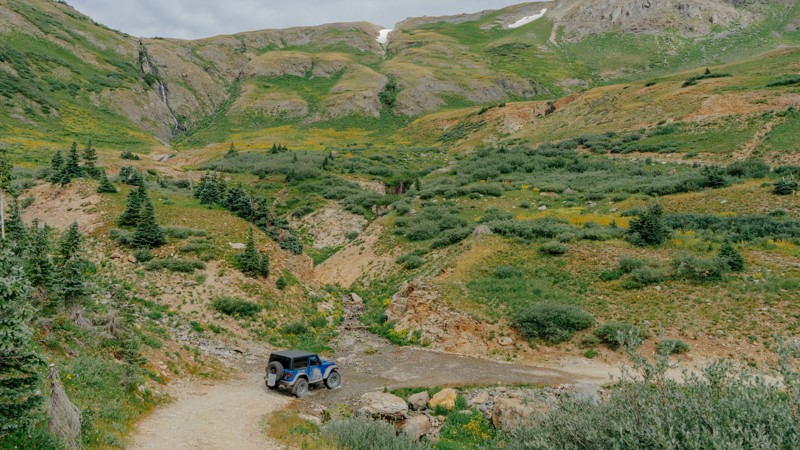
Forming the other half of an alluring loop with Happy Platte Road, Platte Springs Road offers a captivating off-roading experience against the grandeur of the Tarryall Mountains in Colorado's wilderness. This scenic trail rewards travelers with an enchanting blend of dense pine forests and open meadows, making it an idyllic backdrop for an engaging yet peaceful drive and a fantastic place to camp. The trail provides an ideal terrain for seasoned adventurers and newcomers, effortlessly merging the thrill of off-roading with the tranquility of the expansive Colorado landscape. The opportunity to witness the sun cast its golden glow on the Tarryall Mountains, coupled with the quiet hum of nature, transforms Platte Springs Road into more than just an off-roading trail; it becomes a mesmerizing exploration of Colorado's rugged beauty and wilderness, perfect for those seeking both adventure and tranquility.
Updated: 07/28/2025
Porphyry Black Bear Connector
Pandora, Colorado
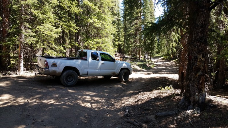
This quick connector runs between Porphyry Basin Road and Black Bear Pass and has a handful of dispersed campsites marked by well-maintained rock fire rings. Offroaders wanting to get an early start on Black Bear will find this connector helpful. Although not technically difficult, the Porphyry end of the trail has a steep grade where a transfer case would come in handy.
Updated: 06/05/2025
Spruce Road
Breckenridge, Colorado
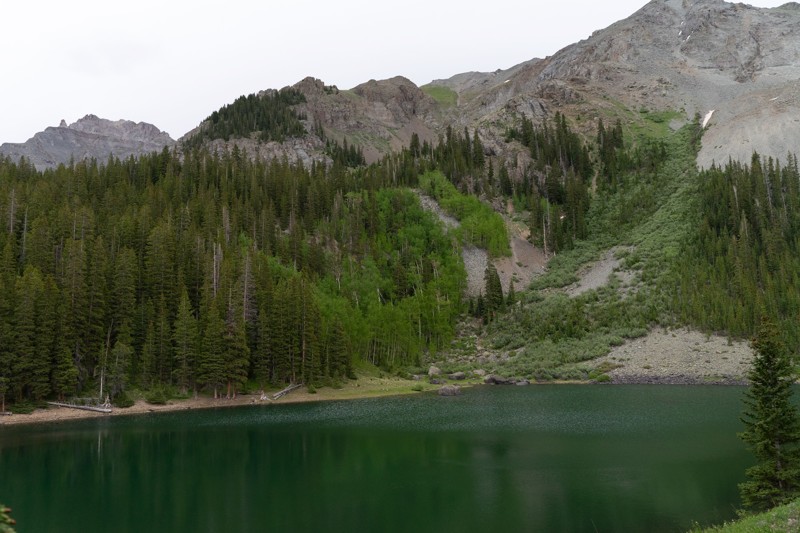
Spruce Road is a short, tightly wooded 4WD trail in the heart of the Golden Horseshoe. The loop once served as a shortcut through Lincoln Park Meadow to
, but the through-route connector is no longer legal. This 4WD trail is part of the Golden Horseshoe trail system which covers over 8,000 acres between the Swan River and French Gulch. The area has a rich history and is dotted with countless mines, mills, and cabins dating from the late 1870s through the 1950s. The Golden Horseshoe is crisscrossed with 4WD, ATV, single track, mountain bike, and foot trails. Keep a sharp eye out for other folks using this network and, as always, be considerate. Stay the trail, and pack out what you packed in.
Updated: 08/11/2026
Wild Boy Lake
Ames, Colorado
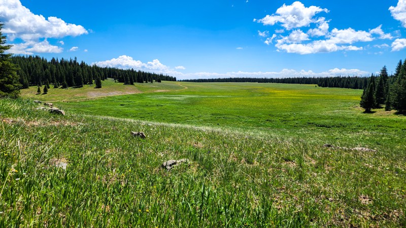
A very short spur off Alta Lakes leads to the smaller Wild Boy Lake. This could be a good option if you are looking for additional fishing or dispersed camp spots away from Alta Lakes proper. Although the MVUM shows the trail leading nearly to the water, it has been blocked off by deliberately placed boulders. You will have to take a short walk to get down to the water.
Updated: 08/11/2026
Picket Pin Road
Carbonate, Colorado
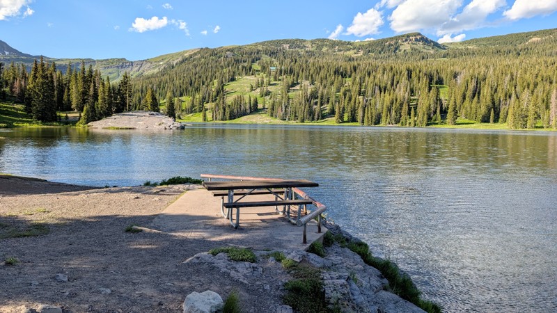
Picket Pin is a lightly traveled, in-and-out spur road located near Deep Creek Lake in the Flat Tops Mountain Range, north of Glenwood Springs. This trail is the poster child of a slow-burner, as the journey along the road begins as a seemingly mundane drive through dense pine forest with an annoying amount of potholes. Eventually, the trail pokes out of the trees and rewards you with wide-open meadow views and passes a couple of camping spurs that dart off into the trees.
The first 2.5 miles of road are an easy, hard-packed dirt surface. At the 2.5-mile mark, a 20-yard-long chocolate milk-looking mud puddle will leave you looking for a depth probe. This marks the beginning of consistently muddy conditions, even in peak summer, that necessitate a high clearance 4-wheel drive vehicle. The trail comes to an end after 3 miles, where it T's to two separate, awesome campsites. The northern site is a large, grassy site nestled along the hillside, while the southern site is a small and level site sitting atop the ridgeline with views that stretch as far as the eye can see.
Updated: 09/09/2026
Lake Irwin Road
Crested Butte, Colorado
Lake Irwin Road is an easy, graded dirt road that meanders through a pine forest to the scenic Lake Irwin and Lake Irwin Campground. In the summer months, Lake Irwin is popular for fishing, boating, paddle boarding, and swimming. Nearby is the prominent Ruby Range, comprised of Ruby Peak and Mount Owen, which provides spectacular mountain scenery.
The road is well maintained and wide, posing no issue for any vehicle wanting to access Lake Irwin, including larger vehicles or vehicles towing trailers. Along the road, there are a few marked areas for dispersed camping, and at the end of the road is Lake Irwin Campground, which offers a more traditional campground camping experience.

Upgrade your Membership
Unlock all of the details on every Trail Guide and Scout Route.
Start a 7-day Free TrialBrowse Trails in Colorado by City
Browse every Colorado city with offroad trail guides.
Community
Partners

