













By clicking "ACCEPT", you agree to be the terms and conditions of each policy linked to above. You also agree to the storing of cookies on your device to facilitate the operation and functionality of our site, enhance and customize your user experience, and to analyze how our site is used.
Colorado Off-Road Trails
602
Total Trail Guides 575

6450
Detailed Waypoints 568
Try a Free 7-Day Trial and unlock it all
Start a Free Trial Most Recent Trail Reviews
Rated 5/5
Open
Visited: 09/24/2026
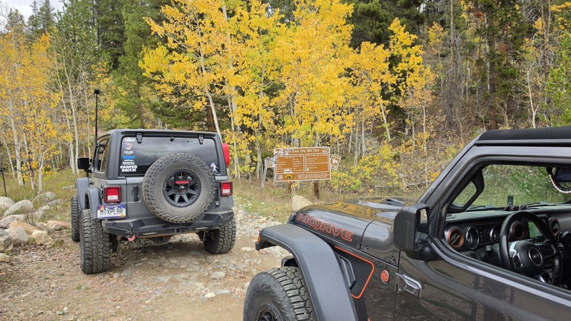
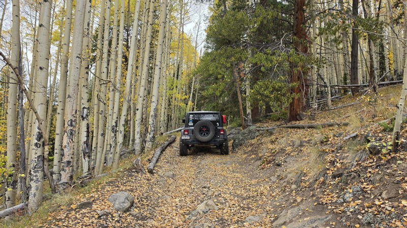
Amazing! Maybe my new favorite trail, at least in Colorado. It was a perfect fall day and no other vehicles on the trail. A bit wet and misty added to the challenge. Pulled line twice mostly because o...


Corey Charlick
Rated 5/5
Open
Visited: 09/24/2026
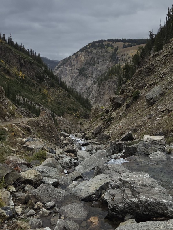
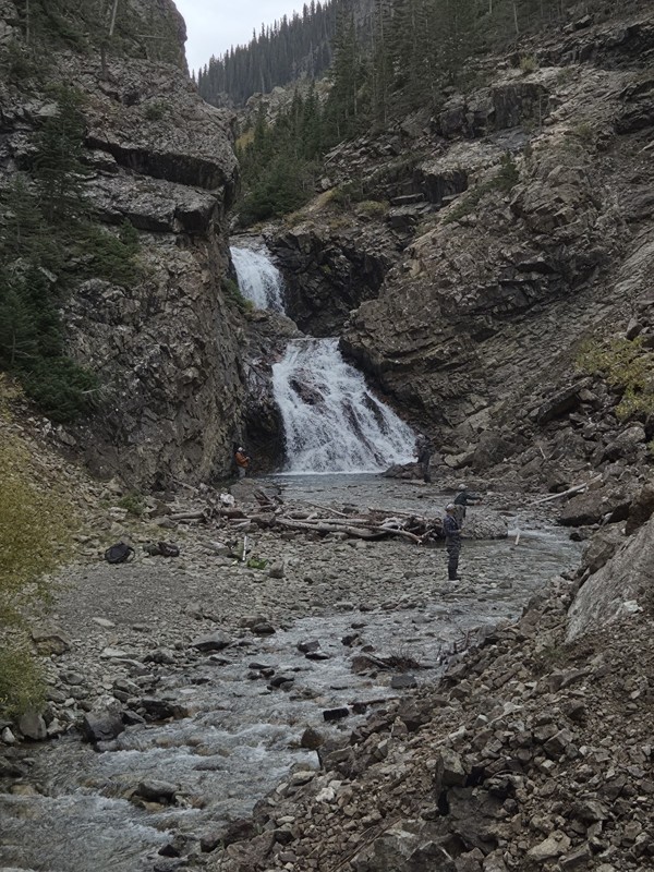
Schofield's reputation is well earned. The shelf roads were sketchy in a few spots, but they were wider than I expected. I was traveling north to south.
Flying solo I was more sketched out for th...
CH
Chris Hebner
Rated 5/5
Open
Visited: 09/24/2026
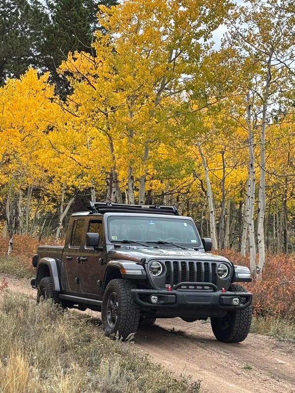
Fun easy trail with great views. Caught the aspens peaking.
LL
Louis L
Rated 5/5
Open
Visited: 09/23/2026
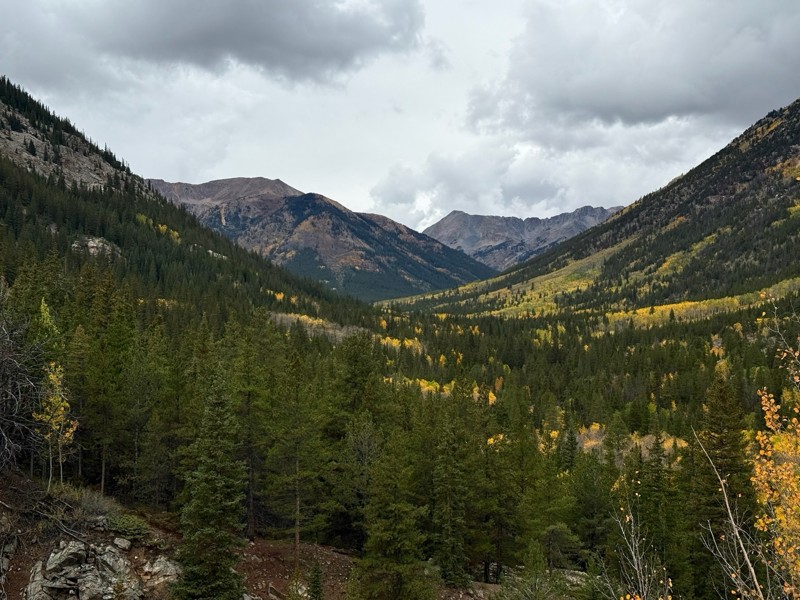
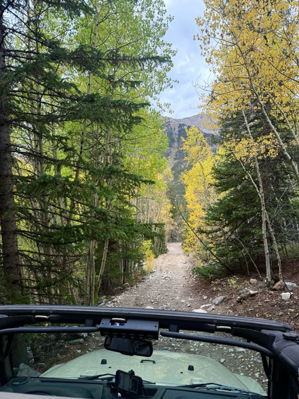
This was a nice trail with little difficulty but plenty to offer between the creek crossings, peaceful forest, good views, and an awesome lake a short walk from the end.
Normally an “Optional” diffic...
Josh
Rated 4/5
Open
Visited: 09/23/2026
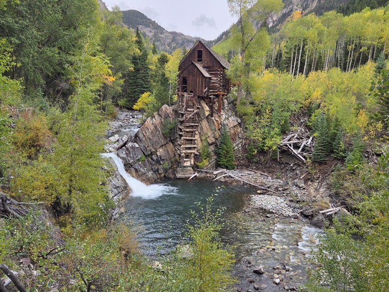
BUMPY!!! Don't let the 2 rating fool you. The trail isn't at all difficult, but it is bumpy! I arrived in the area in the afternoon and thought I'd take a quick trip up to check out Crystal Mill. ...
CH
Chris Hebner
No Rating
Open
Visited: 09/23/2026
Great medium level drive. Allow time to get to trail head as the washboard getting there is rough. It was worth it though.
KE
Keith Early
Rated 5/5
Open
Visited: 09/23/2026
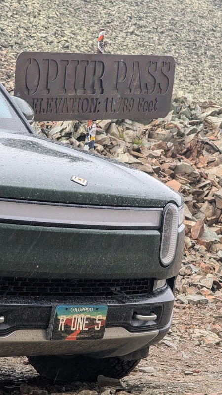
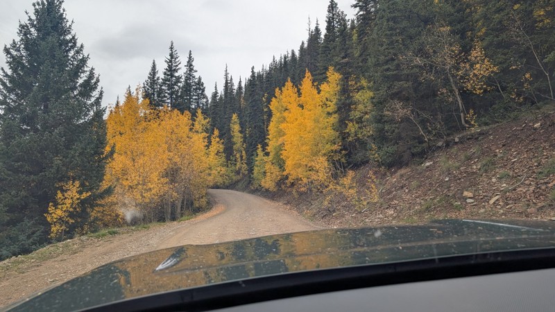
nice trail with good views. a classic in the San Juans... it's not quite as easy as 2 but not a true 3 either. Totally doable with a stock 4WD.

Mustafa ParDane
Official Crew
Rated 5/5
Open
Visited: 09/23/2026
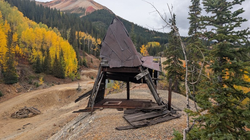
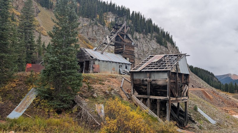
Nice fun easy trail! You will see lots of mines. I mean lots of them. If you are into it, this is the trail for you :)
Mustafa ParDane
Official Crew
Rated 5/5
Open
Visited: 09/23/2026
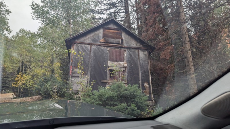
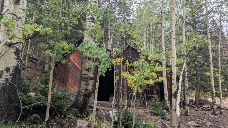
It's a steep climb all the way from the beginning to the top but there is no real obstacles. You will see some cool mines. And the views are awesome. You will see some good views of the Red Mountain p...
Mustafa ParDane
Official Crew
Rated 5/5
Open
Visited: 09/23/2026
We frequent this route probably once a week from GoG to Woodland Park. Be very careful on the blind curves - no shortage of knuckleheads driving way too fast (a biker was struck fatally in June). Us...
TC
Tim Crane
Rated 5/5
Open
Visited: 09/22/2026
Scenic road connecting to other alpine loop trails. it's not very technical or hard. but if you don't prefer shelf roads, maybe that can be considered hard. Red Mountain peaks are awesome. the scenery...

Mustafa ParDane
Official Crew
Rated 5/5
Open
Visited: 09/22/2026
Besides the shelf roads, there is not other bug obstacle or anything technical. As always, it has really good views :)


Mustafa ParDane
Official Crew
Rated 5/5
Open
Visited: 09/22/2026
Views are awesome as always with any alpine loop trails. There is a very short hike at the summit that takes you to even higher point with better views. Lake Como looks very good from there.


Mustafa ParDane
Official Crew
Rated 5/5
Open
Visited: 09/22/2026
Started from Lake City as most people recommend running the alpine loop clockwise. I think that was a wise choice because I didn't have a lot of ongoing traffic. The views are awesome and they start r...


Mustafa ParDane
Official Crew
Rated 5/5
Open
Visited: 09/22/2026
Tough trail, lots of technical spots throughout. Dont attempt solo or with any kind of stock truck!


Greg Dermann
Rated 4/5
Open
Visited: 09/22/2026
Just a dirt road with lots of potholes. Nothing technical. Drove this up to the 401 Trailhead to bike. Pretty busy with folks camping and leaf peeping. Overall it is in a pretty area and theres good c...



Davis McPherson
Rated 4/5
Open
Visited: 09/22/2026
Ok I have not run that trail in the last 4 years. I don't recall it looking like the photos. Did it recently get this way (rock garden) and get the difficult rating?
C
coyoteslocos
No Rating
Temporary Closure
Visited: 09/21/2026
Sign at the bottom of the hill says road construction but when you get to the turn off it is blocked.
PD
Paul Dixon
Rated 5/5
Open
Visited: 09/21/2026
Ran the trail from Westcliff side over the pass and into Great Sand Dunes NP. Had great weather. Don't think it had rained much in the days prior. So, the trail was dry. Think the difficulty ratin...



Stephen
Rated 5/5
Open
Visited: 09/21/2026
Id put it at a 3 some larger rocks mud and shelf roads: beautiful trail. Highly recommend.


Brian mckie
No Rating
Open
Visited: 09/21/2026
There is an area towards the end of this trail not long before it opens into the meadow that is very shaded and has become a mud hole. Well, somebody with a vehicle not capable enough to get through i...

Curt Greeley
Rated 5/5
Open
Visited: 09/20/2026
Ran this trail for the first time on 9/20/26. Absolutely stunning views and the leaves were almost at peak. This might be my new favorite trail to run during this time of year. Not difficult, but long...



Jack Mackie
Rated 4/5
Open
Visited: 09/20/2026
I wanted to run this trail on my way out from the gulches area but when I got down to the first stream crossing it had a few large logs placed in it. Im not sure if this is for traction or what, but I...
Jack Mackie
Rated 5/5
Open
Visited: 09/20/2026
First time out here and I ran this alone on 9/20/26 coming back from Old Stage 220. Took Sportsman Rd to get to 220 so I decided to take this to trail to get back to Cedar Mtn Rd. This is more fun tha...
Jack Mackie
Rated 5/5
Open
Visited: 09/20/2026
This is one of my favorite trails. I like to start at St. Mary's and run it in reverse lf this trail guide. I prefer to take most of the steep sections downhill, but if you want a fun challenge, then ...


Tim
Rated 5/5
Open
Visited: 09/20/2026
Ran this on 9-20-26 up to the Phoenix rocks. WK2 3" lift on 33's. Never been in this area before but I have read many of the reviews on here about the gulch trails. I was alone and the phoenix rocks w...

Jack Mackie
SH
Sharon Hansen
Rated 5/5
Open
Visited: 09/20/2026
Maiden voyage for my stock suspension 1994 Wrangler. The trail was surprisingly rocky in the beginning. Beautiful views and not too much traffic.
SH
Sharon Hansen
Rated 2/5
Partially Open
Visited: 09/20/2026
While there were some aspen views, this is not the best place to find them. Most of the views of the surrounding area are obscured by pine trees that are close to the road. Many of the overlooks are o...
MG
Mike Gerdts
Rated 4/5
Open
Visited: 09/20/2026
We enjoyed the trail. Beautiful scenery. Definately narrow in some areas. The terrain itself wasn't so difficult. Clearence is needed for some of the rocks in the trail.


Lisa Johnson
Rated 4/5
Open
Visited: 09/19/2026
Ran it in a 157"WB F150 on 33's, and would probably run it in a passenger car. Great views, easy climb and the switchbacks were totally navigable in a fullsize. Some of the roads on top are more app...
J
Justin
Rated 5/5
Open
Visited: 09/19/2026
The last descent at the end is kind of muddy so take it extra slow.



Joshua Scurran
Rated 5/5
Open
Visited: 09/19/2026
Ran east to west. The ascent at waypoint 14 has been cleaned up considerably - not sure if this was the work of the recovery crew we passed who were headed up Mt Baldy road, but it was much less rocky...

Jeff Dew
JG
Joseph G Botthof III
No Rating
Temporary Closure
Visited: 09/19/2026
Following up on Ryan's post, multiple incidents have occurred of vehicles sliding off the trail at washouts. CO4x4RNR was up yesterday recovering a vehicle, and we were told the trail will remain clo...

ERIC D BROWN
Rated 5/5
Open
Visited: 09/19/2026
Epic views at the top make this in and out road a must see on my list. Shelf roads with a few areas for passing. Switchbacks and 12"-18" boulders in only a few places to navigate. 4wd and good clearan...



Desi
Rated 5/5
Open
Visited: 09/19/2026
Expect closures Sept 21-24 for pipeline maintenance starting near the trestle. Perhaps related, there’s a rusty 4-6” pipe sticking out of a puddle near the trailhead at the top.
It’s been a bit rai...

MG
Mike Gerdts

Kirk Kneezle
Kirk Kneezle
Kirk Kneezle
WH
William Harkcom
Rated 5/5
Open
Visited: 09/18/2026
Great trail. Lots of fun, great views. Loved all the rock outcroppings.



Jessica H
Rated 5/5
Open
Visited: 09/18/2026
Short but fun. Right mix of technical and scenic. Ran this with Solitude Creek. Great views but that initial climb looked daunting but once you get into it wasn’t that bad.


Jessica H
No Rating
Temporary Closure
Visited: 09/18/2026
Forest Service has closed the trail due to washout damage. No ETA yet on fixes or reopening.


Ryan Boudreau
Official Crew
No Rating
Open
Visited: 09/18/2026
Only drove it to the Chinns Lake cutoff, but that part was in great condition. They've recently laid down new gravel on the lower portion in the neighborhood, it is super smooth.
S
Scott
No Rating
Open
Visited: 09/18/2026
Great condition. Only tough spot is some deep holes just before you get to the lake, otherwise it's easy. The mud holes are deeper than I remember, but it's been raining quite a bit. Lake is very, ...
S
Scott
No Rating
Open
Visited: 09/18/2026
We ran it downhill from the Miner's Gulch area. It's an easy descent thru the forest, a few rocks here and there, nothing major. Nice view of the aspens and rain clouds moving thru the area. Decent...
S
Scott
No Rating
Open
Visited: 09/18/2026
Mostly moderate, but a few spots are pretty rough with unavoidable and awkwardly placed boulders - stock vehicle are likely to hit their rocker panels. Good approach angles and rock sliders are your...
S
Scott
Most Popular
Updated: 07/04/2024
Royal Flush
Clark, Colorado
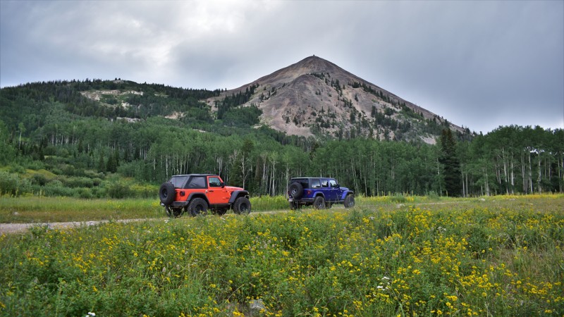
Hahns Peak, with its nearly 11,000-foot summit, appears like a volcano standing by itself in the mountains north of Steamboat, Colorado. Royal Flush is one of the prominent roads that will encircle the peak and offer spectacular views of the Steamboat Lake valley to the south. Rocky and rugged, this trail offers a back-country experience that is beautiful and exhilarating. Although the area was mined for gold in the mid to late 1800s, you will still find gold in the abundant aspen tree groves as the autumn colors brighten the mountain slopes. Royal Flush is picturesque. Do not forget your camera for this memorable off-road adventure.

Updated: 06/26/2026
Poverty Gulch
Pittsburg, Colorado
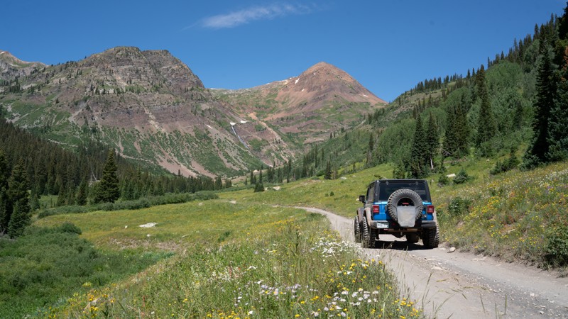
If you find yourself in Crested Butte, have a 4WD vehicle, and seek camping in peace and privacy, look no further than Poverty Gulch. This short trail takes you to some amazing campsites just a short drive off the wildly popular Slate River Road. There are seven designated campsites just before you top out at 9841 feet, below a spectacular jagged mountain background complete with waterfalls and meadows full of wildflowers. You will need to contend with a few rocky patches and potentially deep water crossings, but a stock 4WD vehicle with a transfer case and good tires will have no issues. There are hiking opportunities at the end of this trail as well, if stretching your legs is on the itinerary.
Updated: 05/05/2025
County Road 23-A
Tarryall, Colorado
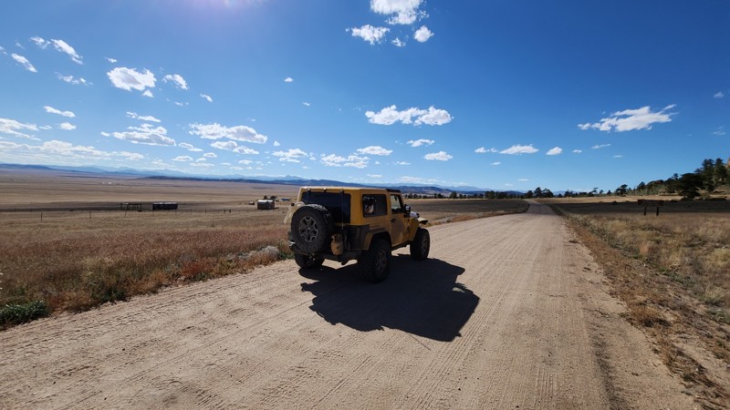
This all-dirt county road travels from the Tarryall Reservoir to the Puma Road (AKA La Salle Pass) and the trails on that side of the mountains in the area. It's a great way to stay on dirt and travel to the many trails and camping opportunities in the area.
Updated: 05/17/2024
Summitville
Del Norte, Colorado
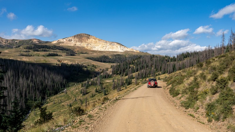
Summitville is a beautiful trail through the Rio Grande National Forest with expansive views of the San Juan Mountains. If amazing views are not enough, Summitville Ghost Town is also along the trail. Like many other ghost towns in Colorado, Summitville was a mining town. It was established in 1873 after gold was discovered in the area. At its peak, Summitville had over 1,500 people and over 30 buildings, including a post office, three blacksmiths, nine mills, and fourteen salons. It even had a newspaper, The Summitville Nugget. The Little Annie Mine near Summitville became the third-richest gold mine in Colorado. Sadly, by 1893, it was abandoned entirely.
In 1984, Galactic Resources LTD acquired the Summitville mine and began large-scale open-pit mining operations to extract gold and silver ore. Unfortunately, the "cyanide-leach" technique they used leaked into the Alamosa River, and by 1991, the mine was closed. The EPA took over and has spent $250 million to clean and reclaim the Summitville Mine Site. The EPA treats 350 million gallons of acid mine drainage at the site annually. There are still several buildings in the town. But it is in the process of being restored, so please look but do not touch.
Updated: 06/05/2022
Fourmile Area: The Castles
Johnson Village, Colorado
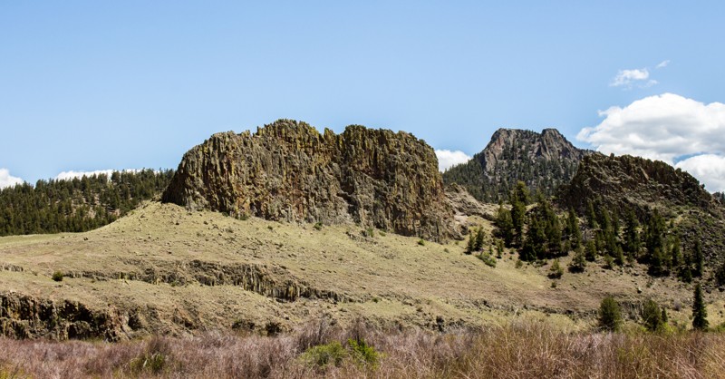
This trail highlights some of the best views of the rock formation known as The Castles, from which it takes its name. Along the drive, you will have several opportunities to stop and play in Trout Creek, or float down it in a raft or tube. From here, you will have access to many of the other trails that make up the Fourmile Travel Management Area around Buena Vista and Johnson Village.
Updated: 07/14/2024
Mount Guyot East
Breckenridge, Colorado
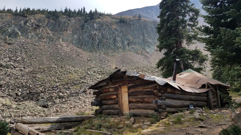
Mount Guyot East 4WD trail gives up-close and jaw-dropping views of the north-facing sheer cliffs of Mount Guyot. You also get a taste of Colorado mining history with the remnants of an early 20th-century mine. This is a great, optional, side-trip or lunch location when doing the more popular Georgia Pass. There's room for a small group to take a break in the shadow of the mountain, especially if the summit of Georgia Pass is too crowded or (more often) too windy.
Updated: 08/07/2023
Black Ridge Road
Grand Junction, Colorado
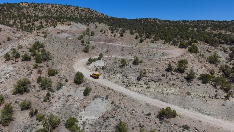
Black Ridge Road is a scenic passage into an area rich with recreational pursuits. This well-maintained trail remains easy despite the numerous switchbacks, leading adventurers towards the striking Black Canyon Wilderness. The trail offers expansive vistas stretching towards Glade Park and beyond, enhancing this effortless drive. Black Ridge Road is nestled between the Colorado National Monument and the McInnis Canyons National Conservation Area, offering over 123,000 acres brimming with history, natural wonders, and exploration opportunities. With towering canyons and a diverse range of over 450 plant species, the landscape becomes a part of the adventure.
Updated: 04/29/2023
Upper Rule Creek Spur
Divide, Colorado
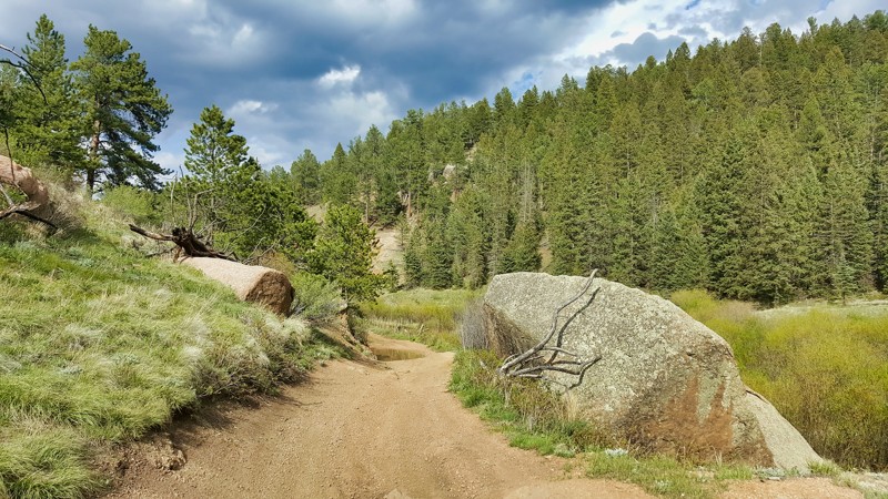
A delightful counterpart to the Lower Rule Creek Spur, Upper Rule Creek Spur Road weaves its way through the richly wooded territories of the South Platte Ranger District in Colorado. With varying degrees of off-roading challenges, it invites drivers of all expertise levels, making it a great full-day wheeling endeavor when combined with other trails nearby. As you traverse the trail, the serene vistas of Pike's Peak, standing grand at 14,115 feet, occasionally cut through the dense woodland canopy, adding a picturesque backdrop to your adventure. Most of this journey immerses you in a forested wonderland, with the vibrancy of the foliage contrasting with the ruggedness of the trail, creating unforgettable Colorado off-roading experiences.
Updated: 07/05/2023
King’s Canyon Road
Cowdrey, Colorado
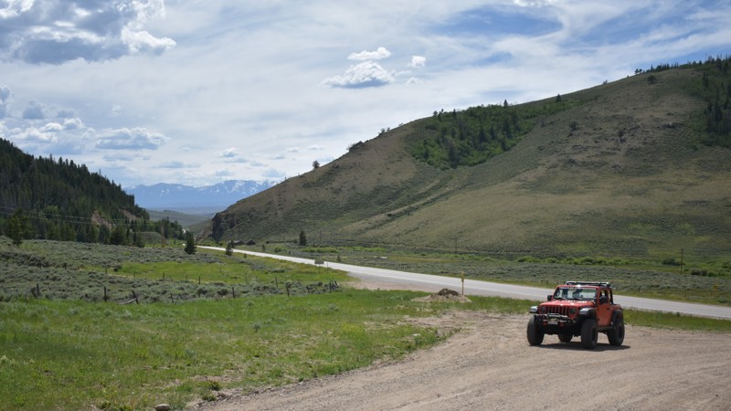
A surprise crossing of the US Continental Divide is a prominent feature of Kings Canyon Road. The road travels through the dense forest in the far northern reaches of Colorado. During the early autumn, the changing aspens can light up this peaceful trail. Kings Canyon Road heads into the historic logging area known as Old Roach.
Updated: 06/10/2026
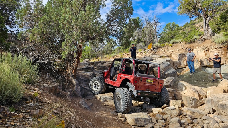
Topless
Montrose, Colorado
Topless is a technical rock crawling trail that's rated as an 8 in the local area trail system. There are boulder gardens throughout the length of the trail as well as two significant climbs over 5 feet with no bypass.
Updated: 07/27/2026
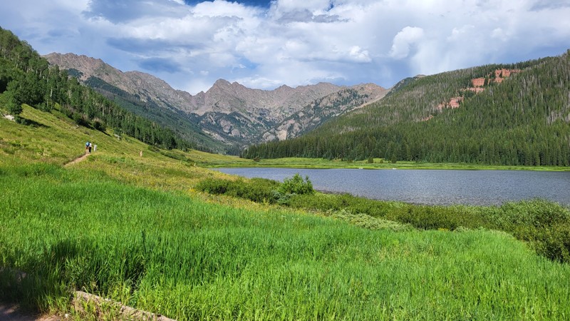
Piney Lake
Vail, Colorado
The Piney Lake trail is an easy dirt road that leads to a privately owned lake and recreation area. Entry is free, but hours are restricted. There are loads of hiking opportunities, and the lake itself is gorgeous. There are a handful of reservation campsites along the road and one or two dispersed sites.
Updated: 06/29/2026
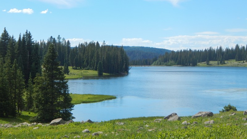
121 Grand Mesa
Grand Mesa, Colorado
Grand Mesa, Uncompahgre, and Gunnison (GMUG) National Forest encompasses over 3 million acres of rugged canyons and mountain country in western Colorado. Covering over 500 miles, Grand Mesa is a distinctive land formation with its flat top and towering cliffs. It's the largest flat-top mountain in the world and home to abundant wildlife. Because of the flatness, the region contains a dense concentration of lakes and ponds full of fish. While traveling up Trail 121, you'll pass numerous lakes with free primitive camping along the shore. Other campsites are nestled back in the dense aspen and pine trees. The route is a well-maintained gravel and dirt road that can be completed in 2WD. The climb up from the north can have deep washboards and slow-moving traffic. Entering from the south at the ranger station is residential with a 10 mph speed limit.
Updated: 05/21/2024
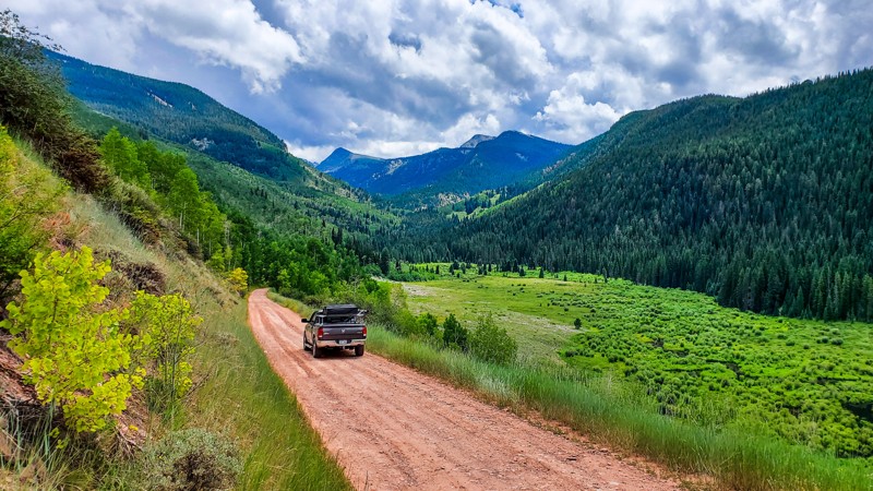
East Brush Creek
Eagle, Colorado
Passing through the northern section of Sylvan Lake State Park and ending near the western boundary of the Holy Cross Wilderness, East Brush Creek is an easy dirt road that makes its way through prosperous Aspen groves and ends at a popular spelunking destination; Fulford Cave. This road is a popular route for both hikers accessing the multitude of wilderness trails in the area and for OHV riders exploring the miles of trails surrounding Crooked Creek Pass and Porphyry Mountain.
Updated: 04/22/2026
Old Chalk Creek Road
Saint Elmo, Colorado
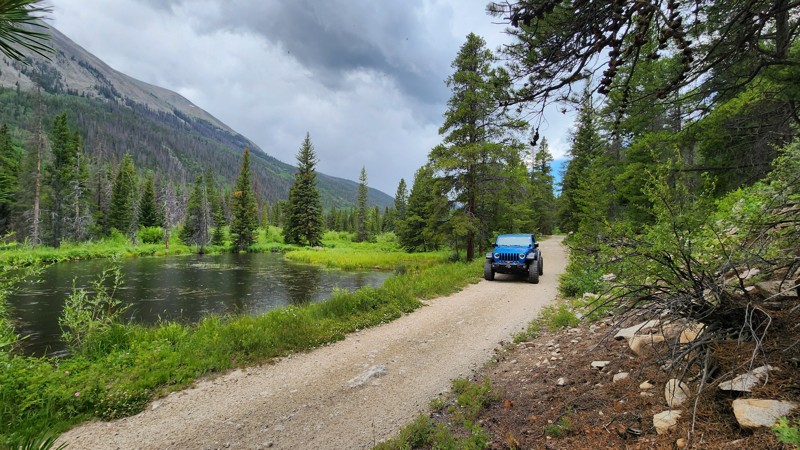
Paralleling Chalk Creek between Saint Elmo and Mount Princeton Hot Springs, Old Chalk Creek Road is a nearly 6-mile straight-through dirt road through the San Isabel National Forest. The road is dual-managed as Forest Road 292 and County Road 292. The road is primarily packed dirt, 1.5-2 vehicles wide the entire way. The difficulty of the road is divided into three sections: west of Iron City Campground, Iron City to Alpine Lake, and east of Alpine Lake. From the western end to Iron City Campground, the road is very easy, well-maintained, and suitable for any vehicle. East of the campground until Alpine Lake, the road is rough with protruding rocks of several inches and several sharp grades. Low-clearance vehicles, trailers, and RVs are encouraged to avoid this middle section of the road. East of Alpine Lake, you will encounter many private residences, and the road is once again an easy, well-maintained dirt road suitable for any vehicle.
Along the drive, you will see many beaver ponds, old mining buildings, the Iron City Cemetery, and several areas to picnic and enjoy the cool waters of Chalk Creek. Dispersed camping is not allowed along this road, but improved camping can be found for a nightly fee at the Iron City Campground, where you will find a pit toilet, picnic tables, fire rings, and bear boxes.
Updated: 06/15/2026
Cave Creek
Bark Ranch, Colorado
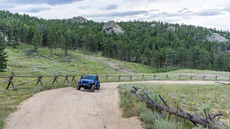
Located in the Roosevelt National Forest, Cave Creek is a short and relatively easy connecting road from Highway 72 to Bunce School Road. Cave Creek is primarily used as an access point to the Bunce School trail system and is often used for recreational shooting opportunities. The road is primarily packed soil with several sections of protruding rocks and shallow erosion ruts. Any high clearance vehicle should have no problem traversing this road. Cave Creek passes 3 spurs and numerous pull-offs offering some kind of campsite. None of the campsites are particularly big, thus they are only suitable for vehicle or tent camping.
Updated: 09/25/2025
Upper Taylor River
Ashcroft, Colorado
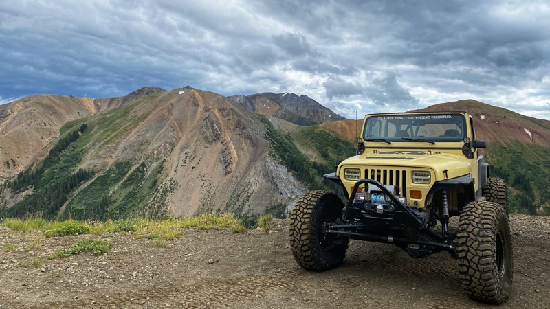
Upper Taylor River is a 4-mile side trip off Taylor Pass. The route goes past Taylor Lake, heads west over the ridge, and into the Upper Taylor River Basin. The road is extremely narrow and tight in places as it hugs the north slope of the valley and ends near the mining tailings below Taylor Peak. The rocky route is manageable for a high-clearance 4x4 with a low-range transfer case. It is not recommended for full-size trucks. No established campsites are along the road, but a few wide spots could facilitate vehicle-based dispersed camping.
Updated: 08/12/2026
Badger Creek / Powerline Road
Wellsville, Colorado
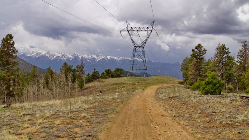
The Badger Creek / Powerline road is a lesser-known but highly scenic trail in the Arkansas River canyonlands between Salida and Canon City, on BLM land in the Royal Gorge Field Office. It starts in the little village of Wellsville just outside Salida and forms a loop with Sand Gulch Road, climbing high into the rugged hills above the Arkansas River. The road was built to service a high-voltage power line, which gives it a roller-coaster-like feel as it climbs and descends through hills and valleys following the power line route. From the top of each hill with a power line tower, panoramic views look out across the Arkansas River valley to the Sangre De Cristo mountains and closer peaks to the north like Big Baldy Mountain and Jack Hall Mountain.
The road surface is mostly rough dirt with embedded rocks, with several small creek crossings along Badger Creek. Any stock four-wheel drive vehicle can easily drive it, but low range helps with the steep climbs and descents. While the road may appear on maps to connect to County Road 12, the main trail following the power line dead-ends at a private property boundary. There is a gate that may or may not be open, but the road beyond the gate is private. Return to the junction with Sand Gulch Road to head back to Highway 50.
While you can camp in any number of places along the road, the main established campsites are under power line towers on various hilltops. One of these is pictured. They are somewhat exposed and close to the road, so it's not ideal. Better campsites can likely be found off the various short spur roads that connect to the main route.
Updated: 09/09/2024
Iowa Amphitheater
Leadville, Colorado
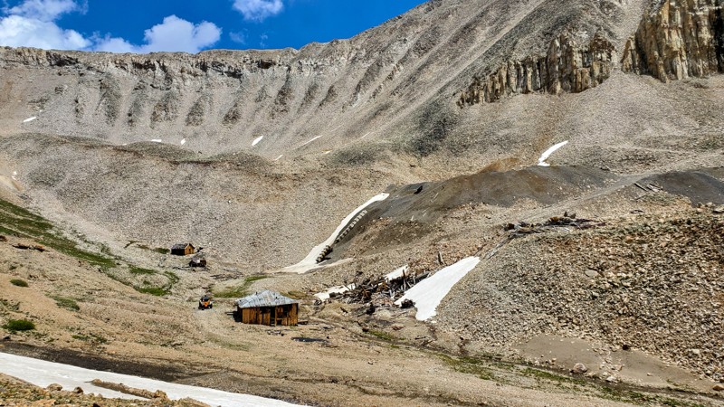
Lurking between the shadows of 14,036' Mount Sherman, 13,951' Gemini Peak, and 13,855' Dyer Mountain, Iowa Amphitheater is one of the most scenic and breathtaking trails you've never heard of. Located southeast of Leadville, along the Route Of The Silver Kings, this trail takes travelers back in time across old mining claims, past desolate structures and finally ends in a once prosperous basin filled with antique equipment that once produced over 10 million ounces of silver. This trail is a perfect escape for the adventure seeker that enjoys mining history and high-altitude views.
Updated: 06/08/2024
Spring Creek Road (Blowout Pass)
Jasper, Colorado
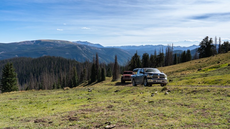
Located in the vast and scenic Rio Grande National Forest, Spring Creek Road is a lesser-used high alpine trail traversing Blowout Pass, hidden in the western shadow of 12,497-foot Sheep Mountain. With expansive views above the Alamosa River, this short trail can be combined with other nearby forest roads to create a great half-day getaway or an epic overland trip through the remote wilderness of Southern Colorado.
Updated: 08/05/2026
Trail Gulch
Victor, Colorado
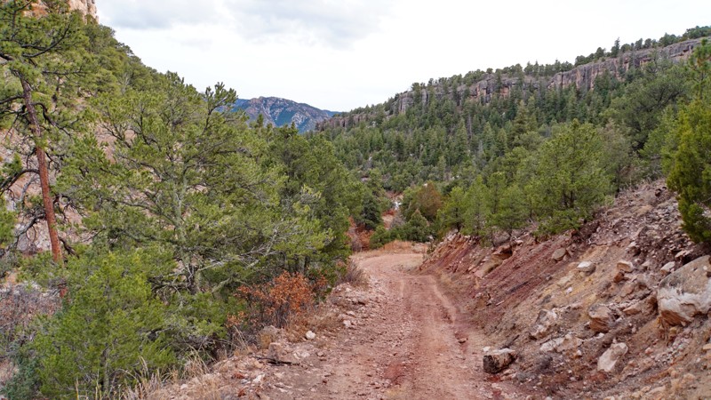
Trail Gulch is a fun and scenic side trail off of the Bank Loop in the Shelf Road area of the Royal Gorge Field Office. It starts at the Banks Campground/trailhead and descends into the canyon below some of the popular rock climbing sites in the area, before following the wash at the bottom of Trail Gulch. After a few miles, it climbs out of the gulch and up into some sagebrush hills, ultimately dead-ending at a hiking trailhead. That trailhead accesses an extensive network of hiking trails that lead over to the Booger Red Hill and Hole in the Rock Gulch areas. The road is easy to moderate difficulty and should be passable to any stock 4x4, with only a few small rock obstacles.
This trail offers some of the best dispersed camping in the Bank / Shelf Road area and has one of the most unique campsites in the region. About a mile down the trail in the canyon, there are two large artificial caves/alcoves blasted out of the cliff face next to the road, which you can drive a vehicle into like a garage. You could pitch a tent or pull a vehicle with a rooftop tent inside of these and camp completely sheltered from the weather. Campfires should be kept outside of the caves to avoid smoking up the rock walls. This campsite is very popular and will usually be occupied on peak season weekends, but other campsites can be found further along the road.
Updated: 10/02/2023
Utah Hill
Black Hawk, Colorado
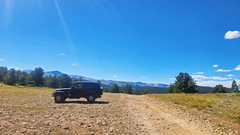
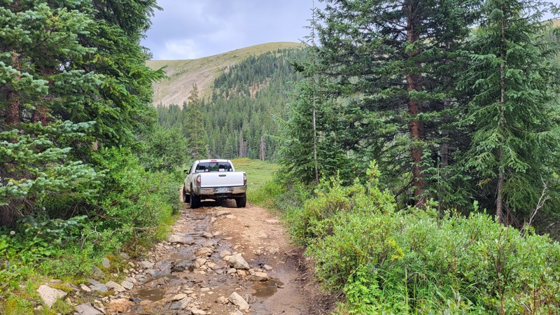
The Oregon Hill and Dakota Hill area was mined extensively in the late 19th and early 20th centuries. Utah Hill boasts many remnants of this rich mining history. Although no buildings are still standing, several foundations are around the trailhead. There is also the collapsed adit of the mine and several pieces of debris.
The trail also provides spectacular views of the surrounding peaks. At the trailhead, you can look west into the James Peak Wilderness. As you cross the open hillside on the southwest side of Oregon Hill, you can see south toward Mt. Evans and Mt. Bierstadt. Finally, as you cross the saddle between Oregon Hill and Michigan Hill, you get a panoramic view of the lower peaks and foothills to the southeast.
Utah Hill is one of the main entrances into the extensive network of trails around Dakota Hill and Oregon Hill, southwest of Rollinsville. Although the Utah Hill trail itself is short, using it to connect to other trails in the area can give you everything from a quick afternoon 4x4 outing to an all-day offroad adventure.
Updated: 08/31/2026
North Fork Swan Extension
Keystone, Colorado
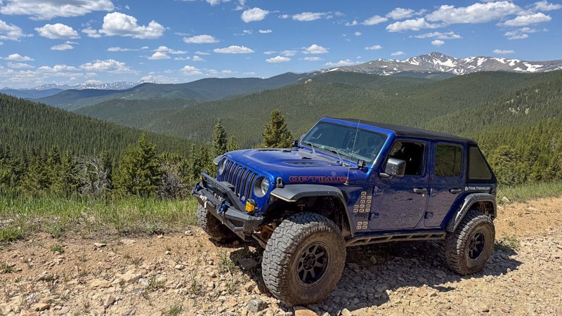
While the traditional North Fork Swan River trail turns across the river at some cabin ruins and follows Geribaldi Gulch above the tree line, this extension trail begins at that same cabin and follows the river up the valley to the ruins of an unknown mine. The trail is rocky and rough but not difficult, and there are no significant obstacles. The views up this valley are spectacular, and the few established campsites are excellent. The trail officially ends on a switchback with just enough room for a couple of trucks to turn around. Just before the end, a spur with a campsite gives larger groups a way to get pointed back downhill.
Updated: 08/11/2026
Apex Valley Road
Central City, Colorado
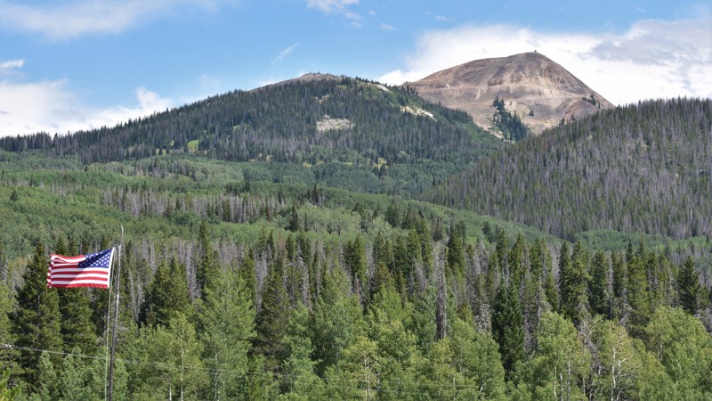
Apex Valley Road in Colorado is a historic and scenic route that leads to the old mining camp and ghost town of Apex, located near Central City and Black Hawk. It's an easy backcountry drive for the most part, though sections further north can become rougher with ruts and embedded rocks, potentially requiring a 4x4 vehicle.
Apex Valley Road offers access to other trails and is popular for various activities, including off-roading (with unlicensed vehicles allowed on some sections), hiking, mountain biking, snowshoeing, and snowmobiling in the winter. It's a great destination for those interested in Colorado's mining history and outdoor recreation.
Camping is not allowed below the town of Apex. Above Apex, there are a few suitable sites, especially at the trailhead for Utah Hill and just past the end of this trail on Dakota Hill.
Updated: 07/04/2024
Hahns Peak
Clark, Colorado
A place once called home by mountain men, miners, explorers and trappers; Hahn's Peak is steeped in history. Hahn’s Peak, namesaked after Joseph Hahn, was a gold prospector from the mid-1800s. The roads in this area are remnants of the old mining operations. Although mining claims are still active on the mountain, you will not see much activity during your visit. Instead, the area is enjoyed by outdoor enthusiasts, hikers, campers and off-roaders. With thick, mature aspen tree groves filling the hillsides, you can still find “gold” on Hahn’s Peak each fall and makes for a great leaf-peeping trail. Because Hahn's Peak is the solitary, prominent volcanic peak west of the Zirkel Wilderness, the views available during your visit are splendid.

Upgrade your Membership
Unlock all of the details on every Trail Guide and Scout Route.
Start a 7-day Free TrialBrowse Trails in Colorado by City
Browse every Colorado city with offroad trail guides.
Community
Partners

