










By clicking "ACCEPT", you agree to be the terms and conditions of each policy linked to above. You also agree to the storing of cookies on your device to facilitate the operation and functionality of our site, enhance and customize your user experience, and to analyze how our site is used.
Utah Off-Road Trails
359
Total Trail Guides 334

4759
Detailed Waypoints 925
Try a Free 7-Day Trial and unlock it all
Start a Free Trial Most Recent Trail Reviews
Rated 5/5
Open
Visited: 09/25/2026
We drove this top to bottom in a 2025 Tundra on 34s. No real obstacles, just rough and steep.

SS
Sebastian S.
P
Peaks&Pixels
No Rating
Open
Visited: 09/24/2026
This trail has been graded recently and is now an easy trail.
IE
Ingrid Enyeart
Rated 5/5
Partially Open
Visited: 09/22/2026
The portion of the trail between the fork at 11 and the fork at 13 has two major ledges that have formed going into and out of the wash. Not sure what vehicle could overcome these. So just take the sc...


CI
Christine Irsik
Rated 4/5
Open
Visited: 09/22/2026
We enjoyed this trail and will definitely do it again. Gorgeous views at many points along the trail. We didn’t try The Wall, but everything else was just enough of a challenge for us and nice that m...
LF
Leslie F
No Rating
Open
Visited: 09/22/2026
Drove out here in a thunderstorm after doing dome plateau overlook. Epic camping. peaceful. unparalleled views. trail had two steep rocky sections I used 4wd low but probably didn't need to.

JR
jon ross
No Rating
Open
Visited: 09/21/2026
This is a short 2 mile of so cut off trail. Has a wash out with a by pass half way through.



Earl Neisler
Earl Neisler
Rated 2/5
Open
Visited: 09/21/2026
Pinstripe Alley nonstop for the first 4 miles. INo view to be had until waypoint 7. It was a beautiful view then we turned around. Should’ve read the reviews before we started the trail, because th...
LF
Leslie F
Rated 5/5
Open
Visited: 09/21/2026
This is a highlight for the trip. We stayed at waypoint10 for the night.


Earl Neisler
Rated 4/5
Open
Visited: 09/21/2026
Nice connector. The short out back was the hardest and not that short.


Earl Neisler
Rated 4/5
Open
Visited: 09/21/2026
A well maintained road. Found a nice camp site on the south in.
Earl Neisler

Jesse Martin
Jesse Martin
Rated 5/5
Open
Visited: 09/20/2026
Great area to go camping and gather for family reunions. There are multiple other trails that fork off throughout the trail to explore.

Dustin
Earl Neisler
Rated 5/5
Open
Visited: 09/20/2026
Only did apart due to time. This is 1 I will come back and finish.

Earl Neisler
Rated 3/5
Open
Visited: 09/20/2026
Not much to say it a slow easy. A good connecting trail.
Earl Neisler
No Rating
Open
Visited: 09/20/2026
We started just south of Cottonwood Canyon. We stop and looked but could not fine the rock art. The area was a nice to see all the green.


Earl Neisler
Rated 4/5
Open
Visited: 09/19/2026
Great trail, we drove through waypoints 24-35. Easy ride with a good amount of mud holes with few ruts on the stretch we drove. Would love to complete the whole trail at a later date.
Dustin
Rated 4/5
Open
Visited: 09/19/2026
Fun easy trail. Great way to get out and enjoy a relaxing trail ride to take in nature and see the fall colors.
Dustin
Rated 5/5
Open
Visited: 09/19/2026
Great Trail! The scenery was good with lots of wildlife. The trail was diverse that give drivers the opportunity to use both high and low four wheel drive. Trail has both wide and narrow areas.
Dustin
Rated 5/5
Open
Visited: 09/18/2026
I run this trail every year. Always fun and beautiful views. Fair amount of off camber sections.

Jeff Klaassen
Rated 5/5
Open
Visited: 09/18/2026
This was a good trail. The trail still had so flood damage but was passable. Highly recommended this. Has some all some view. We took 2 day to enjoy the ride and views.


Earl Neisler
No Rating
Open
Visited: 09/16/2026
Very fun, short trail. We did the loop but not Wipeout Hill. The sandy sections were a blast and there were a few ledges and obstacles that probably warrant a 5 but are still a fun challenge. We did i...



Mark Signorelli
Rated 4/5
Open
Visited: 09/15/2026
Ran this one and it's a decent stretch for anyone with a high clearance 4x4. The early sagebrush section had me watching my GPS track closely since the road nearly disappears a few times, but it alway...



Jay North
Official Crew
Rated 4/5
Open
Visited: 09/15/2026
Ran this as a quick add-on while working through the rest of the Red Hills network, and it's a fun one to knock out in under an hour. The wash crossing is the one spot where you actually have to think...


Jay North
Official Crew
Rated 3/5
Open
Visited: 09/15/2026
Ran this one on a dry afternoon and came away satisfied without being blown away. The rocky, rolling grade keeps things interesting without ever feeling out of reach for a stock high clearance rig, th...


Jay North
Official Crew
Rated 4/5
Open
Visited: 09/15/2026
Ran this one on an afternoon when I didn't have time for a full day out, and it delivered more than I expected for a short climb. The hill about a mile in makes you actually think about your line, and...


Jay North
Official Crew
Rated 4/5
Open
Visited: 09/13/2026
Red Peak Road is a short, easy cruise that's mostly smooth dirt with just enough texture to keep it interesting. There's a mild rough patch early on and a slightly rockier stretch past the halfway poi...


Jay North
Official Crew
Rated 2/5
Open
Visited: 09/13/2026
This is an easy, low-key cruise with a short technical bump right in the middle where it ties into the rest of the network, otherwise it is just packed dirt and gravel the whole way. Nothing here dema...


Jay North
Official Crew
Rated 4/5
Open
Visited: 09/13/2026
This one's an easy, mellow cruiser and it shows in how quick it feels behind the wheel. The rocky spots near the start and about two thirds up are barely worth mentioning, just some careful tire place...


Jay North
Official Crew
Rated 5/5
Open
Visited: 09/13/2026
This one's a fun add-on if you're already out in the area, easy enough for most of the way that a stock rig won't break a sweat, with just a couple of hard spots to keep things interesting. The washou...


Jay North
Official Crew
Rated 4/5
Open
Visited: 09/13/2026
A nice view of Kanab. Steepish and possibly slick when muddy. One spot has a small rock shelf. 4x4 recommended.


Ben Ruddell
Official Crew
Rated 3/5
Open
Visited: 09/13/2026
Easy, suitable for high clearance 2WD on a dry day, though four wheel drive earns its keep if the ground's been wet. The ruts along the way are mild and easy to place your tires around, and the two wa...


Jay North
Official Crew
No Rating
Open
Visited: 09/12/2026
Crazy no reviews since I ran it last May. We ran it again this time the whole trail out to the south overlook. It had rained the night before and into the morning. The rock dried up quick but a lot o...



Andrew Hotton
Rated 5/5
Open
Visited: 09/12/2026
Sand dunes. DANGER, you need to know your technique to head in here. It’s easy to misjudge slope and camber and get stuck or worse roll.


Ben Ruddell
Official Crew
Rated 3/5
Open
Visited: 09/12/2026
The section of the trail was rocky and rough - still fairly easy but the rockiest stretch.
WF
Wyatt Frampton
Rated 4/5
Open
Visited: 09/12/2026
This trail checks so, so many of the boxes -- hanging off a cliff, passing within 4" of rocks on BOTH sides at the same time on narrow sections, meaningful obstacles (ledges) where I smacked my hitch ...
IR
Isaac R
Rated 3/5
Open
Visited: 09/12/2026
This is an easy, high clearance 2WD road, easy enough that the drive itself isn't the draw. The shelf road stretch is mild and only about two jeeps wide, so keep an eye out for oncoming traffic, and t...


Jay North
Official Crew
Rated 2/5
Open
Visited: 09/12/2026
This is a mellow, low-stress drive that rewards a relaxed pace more than any technical challenge. Stock high clearance handled every mile without a second thought, and the surface stayed predictable e...


Jay North
Official Crew
Rated 5/5
Open
Visited: 09/11/2026
Great rest quick trail! Perfect for beginners, fun place for a picnic. The entrance and exit terrain to the tunnel changes depending on the weather and use. Very fun and interesting.


Dustin
Rated 4/5
Open
Visited: 09/11/2026
My route didn’t originally include this trail, but one of my crew broke on impossible hill and we had to limp back to civilization. This trail was beautiful and remote. Difficulty wise, no issues on t...



Dewie Jones
Official Crew
Rated 4/5
Open
Visited: 09/10/2026
Way better than I thought it would be. This was simply a connector trail for my unsuccessful (broken Toyota) Blanding to Moab overland trip. The trail is absolutely beautiful, relatively fast access, ...
Dewie Jones
Official Crew
Rated 3/5
Open
Visited: 09/10/2026
Easy enough that I did this road in pitch-black with just headlights (no light bar or anything) on the way to see sunrise from the end of the trail (Hurrah Pass). Really straightforward, just rocky li...
IR
Isaac R
Rated 4/5
Open
Visited: 09/10/2026
Incredibly beautiful road and not really rough at all -- I did a bunch of with fully-inflated tires. I know it's just a connector but honestly I would 100% come out here again to enjoy the views, hang...
IR
Isaac R
Rated 4/5
Temporary Closure
Visited: 09/10/2026
Deep mud around river crossing prevents passage. We came from Goblin Valley side, we were able to cross the river but there was deep mud on south side due to recent rains. Almost got stuck, had to go ...

Thomas A Youngerman
Rated 5/5
Open
Visited: 09/09/2026
Incredible bucket list trail that you must do if you can. DON'T do it in 1 day unless you like rushing it, unfortunately circumstances changed that required us to rush it. It's gorgeous and worth an o...



Sean Allen
Rated 5/5
Open
Visited: 09/09/2026
I built this into our rocklanding/overland route and really enjoyed the adventure. You can tell this isn’t well traveled which added to the experience. With that said, we’re trying to get to Moab from...


Dewie Jones
Official Crew
Thomas A Youngerman
Most Popular

Updated: 01/02/2025
Yellow Seep
Clawson, Utah
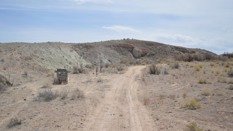
This is a mild route that forks off of the North Fork of Coal Wash. It is an out and back to an area with a seep and a bunch of trees driving over a bit of sand, then packed dirt and embedded shale-type rock. There is minimal elevation gain over the trail's 2.5 miles, and it is suitable for any high clearance vehicle. The views are quite nice considering you are higher in elevation than your surroundings.
Updated: 10/15/2024
Strawberry River
West Portal, Utah
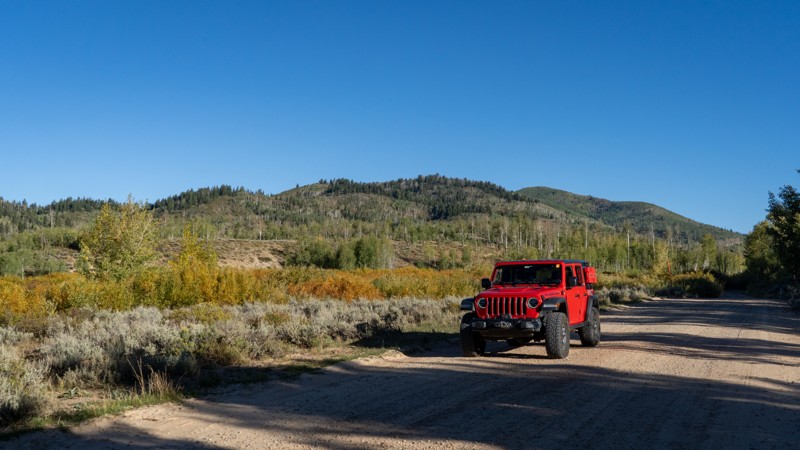
Running along its namesake, Strawberry River is an easy, well-maintained dirt road running from US-40 to Mill B, offering the opportunity for great camping and awesome fall color viewing. Other connecting trails include Dock Flat and Bjorkman Hollow, allowing adventurists and overlanders to create their own route through the western end of the Uinta Mountains. Dispersed camping is abundant, and extremely popular due to its proximity to large cities and its ease of access. In the fall, it may be hard to find camp, as this is a very popular area for hunting.
Updated: 07/15/2025
Henry's Fork
Lonetree, Utah
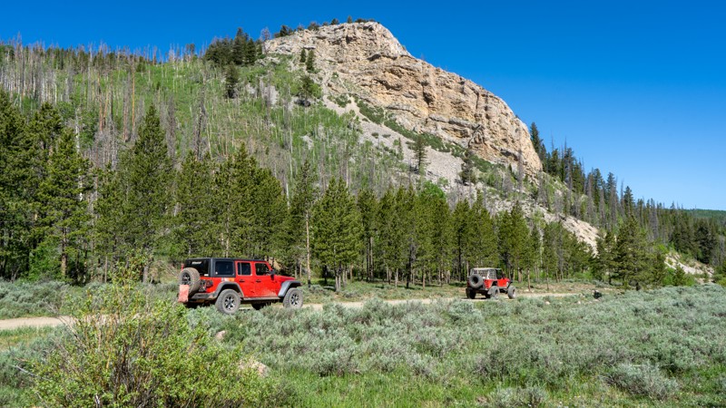
Henry's Fork offers an easygoing out-and-back journey that starts just off Highway 414 near Mountain View, Wyoming, and leads you to the edge of the High Uintas Wilderness. It ends at the trailhead for Kings Peak, the tallest point in Utah. This well-maintained, graded gravel road rolls through expansive meadows and dense conifer forests, gradually gaining elevation without presenting any serious obstacles. It's an easy route for drivers of all experience levels, and any vehicle with decent ground clearance will handle the trail comfortably.
Ideal for those seeking scenic access to the backcountry, this route is most commonly used as a gateway for hiking, especially by adventurers setting out for Kings Peak or backpackers en route to Dollar Lake. The road is open seasonally, with summer bringing moderate traffic from hikers and campers, while winter transforms the area into a popular cross-country skiing destination.
At trail’s end, travelers will find a Forest Service campground with limited but well-kept sites, including a separate area for equestrian use. While camping options are not abundant, they offer a peaceful basecamp for those planning early morning trailhead departures. Henry's Fork Trail is a great choice for anyone looking to enjoy remote alpine access without the technical challenges of more rugged off-road routes.
Updated: 10/15/2024
Castle Peak A
Samak, Utah
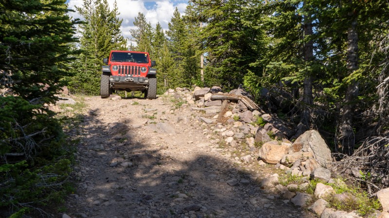
This short bumpy spur leads you toward the Castle Peak yurt (available to rent for a fee). If camping is more your thing, there is a good site with plenty of room to stretch out. Loose rocks and a slight incline warrant the moderate rating, although most any high clearance vehicle can work their way carefully through without too much issue.
Updated: 10/15/2024
Mill Fork
Hanna, Utah
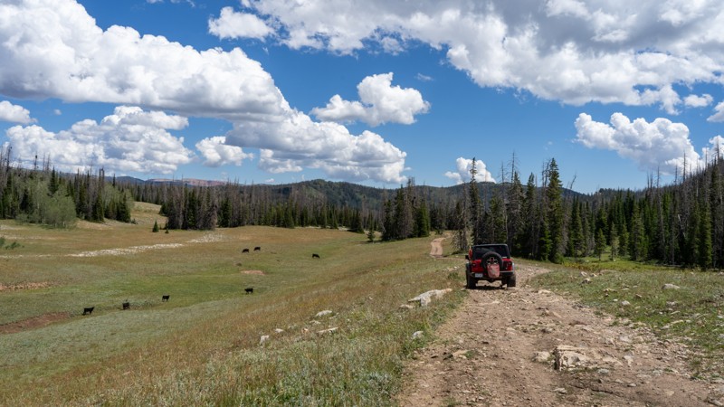
Running between Silver Meadows and Rhodes Canyon is a very seldom-used trail called Mill Fork. Although not intensely difficult, this trail will likely add a little spice to the otherwise "easy" forest service road. Due to the lack of maintenance and use, Mill Fork has severe ruts and washouts that must be maneuvered and straddled. Stock 4WD vehicles will not struggle under average conditions, but a little experience can be helpful. The difficulty will only increase if this trail is wet, as these ruts are large enough to swallow a tire. A few rocky patches will also slow drivers down, where embedded and loose rocks reach 6-8" tall. Please remember to stick to the trail and not drive around the rutted section! If you cannot drive over the washouts, just turn around.
Camping was limited to the few spots on the trail's western end, right where it branches off from Silver Meadows. These are smaller dispersed sites with nothing more than a man-made fire ring.
Updated: 08/11/2025
Sheep Creek Lake
Manila, Utah
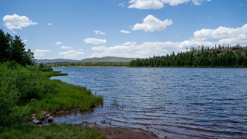
Sharing a name with the better-known Sheep Creek and Sheep Creek Canyon Geological Area, Sheep Creek Lake (or Reservoir) is within the Ashley National Forest, with scenic cliffs of the Uinta Fault rising in the background.
Although short and lacking obstacles, this maintained dirt road still has plenty to offer, including scenic camping at the primitive Sheep Creek Lake Campground. This is a designated camping area but has no numbered sites or amenities and is first come, first served.
The mountain lake itself is large (approx. 81 acres) and has a public, unpaved boat launch. Sheep Creek Lake is overseen by the Utah Division of Wildlife (DWR) and serves as a wild broodstock source for Colorado River Cutthroat trout. Next to the boat launch, you will see a concrete fish trap that is used to house spawning fish (typically in June) so that eventually fertilized eggs can be collected and taken to a hatchery. Fish are later stocked throughout the Uinta Mountain Range.
If you're looking for great fishing and free camping, this might be your spot!
Updated: 10/15/2024
2538 Rainbow Rock Spur
Crescent Junction, Utah
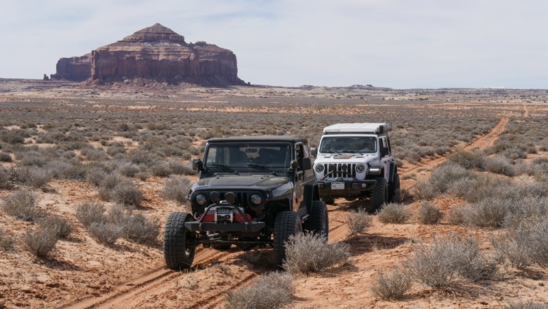
Set deep in the Rainbow Terrace area, 2538 is a short, sandy dead-end spur off Rainbow Rocks. The trail has exemplary views of the surrounding sandstone buttes. The trail abruptly ends at the Enduro Loop motorcycle trail. The trail is all soft sand with a couple of off-camber wash crossings.
Updated: 10/15/2024
San Rafael Desert 9400
Green River, Utah
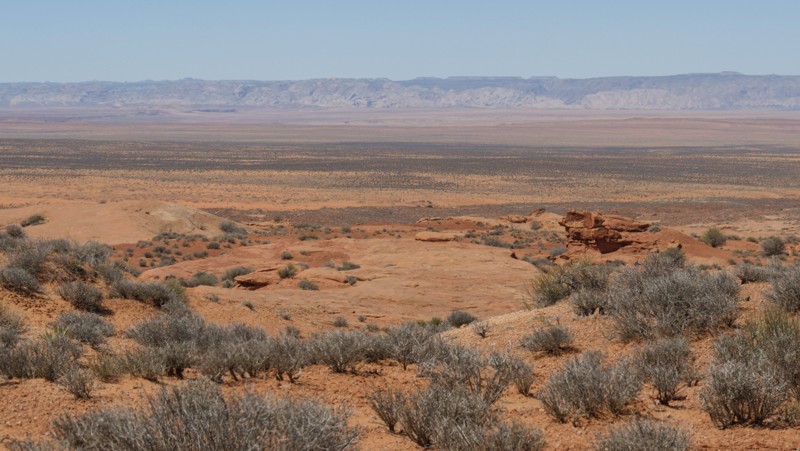
San Rafael Desert 9400 is an alternate looping road branching off Saucer Basin. The trail is used to access other remote 4x4 trails and enjoy this massive desert's sprawling panoramic views. While it's not a destination trail, you will enjoy beautiful views far off to the west and the edge of The Swell. The road has long stretches of groomed gravel and short sections of bumpy sandstone bedrock. The bedrock has been ground down to help smooth it out. No camping was found along this very brushy route.
Updated: 10/22/2025
Dominguez Falls
Hurricane, Utah
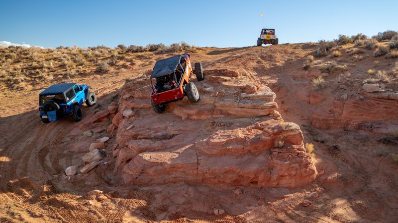
Tucked into the eastern expanse of Sand Mountain, Dominguez Falls is a short but action-packed trail that combines scenic slickrock climbs with the classic technical flavor Sand Hollow is known for. This two-part, counterclockwise loop begins with rolling sandstone and sandy stretches before quickly transitioning into a series of ledge climbs and off-camber shelves. Along the western half, drivers will find a variety of line options ranging from extreme challenges to complete bypasses, making it accessible to a wide range of capable rigs.
As the trail crosses Razzle Dazzle and turns north, it threads through shallow canyons and sculpted redrock contours carved by erosion. Here, the obstacles shift toward ledgy descents and suspension-twisting holes, culminating at the trail’s namesake feature, Dominguez Falls. This steep rock drop is framed by vertical walls and capped with loose sand at the base. The approach alone will stretch most suspensions to their limits, and poor positioning can easily cost taillights or rear corners. Spotters are strongly recommended, especially for longer wheelbase vehicles tackling the descent.
Rock sliders are essential, and lockers are highly recommended for the more technical climbs and traverses. This trail is best run in the afternoon, as early morning sun will continuously blind the driver during obstacle climbs.
About Sand Mountain
Sand Mountain is an extremely unique parcel of public land. Designated as an Open OHV Area, riders are free to make their own trails. Due to this, many of the long-established named trail routes have several variations that can take easier or more challenging routes through the intended trail. The GPX track for this trail helps you navigate the area, but various lines, bypasses, and additional obstacles may exist along the way. Riders are encouraged to stay on existing trails and not unnecessarily drive over or destroy vegetation.
Fees
Riding on Sand Mountain is entirely free. However, there are multiple entry/exit points for the area, including "the tunnel," which connects Sand Hollow State Park to the open OHV area. Any entry into the boundaries of Sand Hollow State Park requires a Utah State Park Pass.
Requirements
When operating on Sand Mountain, users must attach an orange or red safety flag to the vehicle, rising at least 8 feet off the ground.
Updated: 10/15/2024
Upper Bear Creek
Ferron, Utah
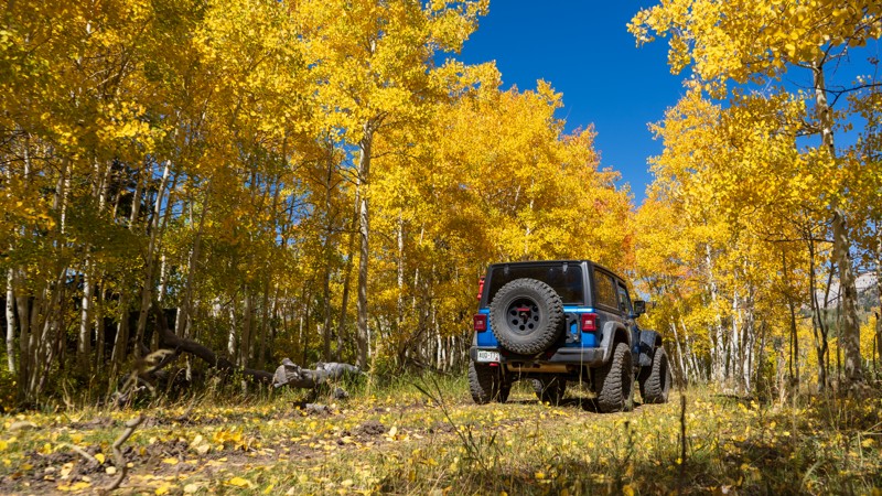
Upper Bear Creek is an easy trail forking off Big Bear just west of Elk Horn Flat. Beginning and ending in aspen trees, this short but beautiful trail winds back to the west side of Wagon Road Ridge and allows drivers to stretch their legs on the Big Bear Creek hiking trail. Camping opportunities lie among the aspens in multiple locations, offering relief from the sun and a peaceful night under the stars.
Updated: 10/15/2024
Left Fork Rhodes Canyon
Hanna, Utah
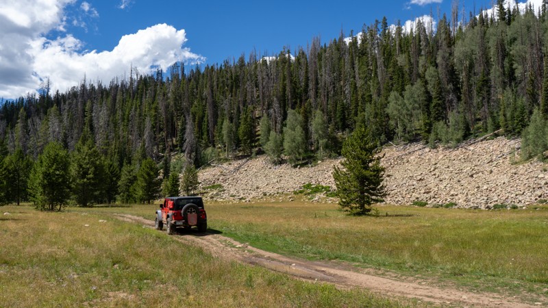
Left Fork Rhodes Canyon is another option jogging between Silver Meadows and Rhodes Canyon. This trail is a tale of two conditions, really, split between two national forests. On the east side, the trail resides in the Ashley National Forest and is far from maintained. The climb is bumpy, rocky, and narrow, and 4WD and low range are highly recommended. The loose football-sized rocks will shift around as your tires propel you up the inclines. Pinstriping is also likely due to the overgrowth encroaching on the trail. The western portion of the trail before the pond lies within the Uinta-Wasatch-Cache National Forest, which is a well-traveled, easy dirt road leading to wide-open camping in the flat basin.
Camping is limited to the western portion of the road. It is dispersed dry camping, with only man-made fire rings. Most sites are large enough for multiple trailers but close enough together that you will likely hear your neighbors.
Updated: 10/15/2024
Box Flat Road
Woodside, Utah
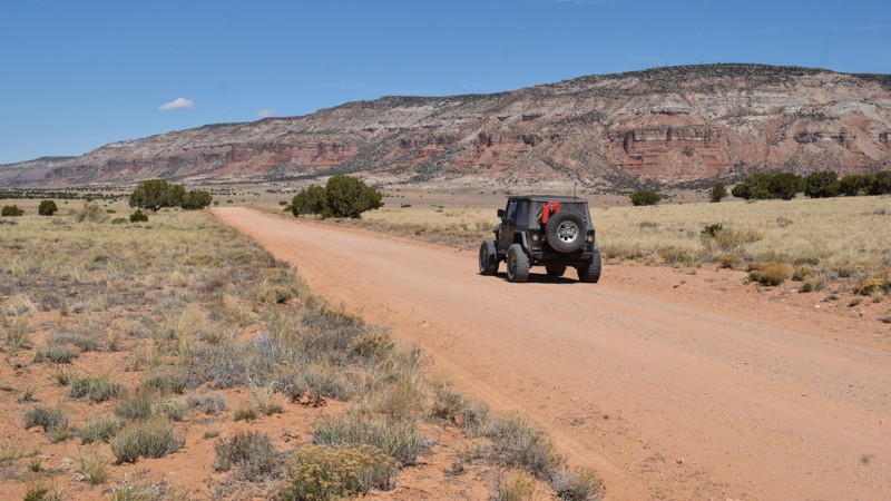
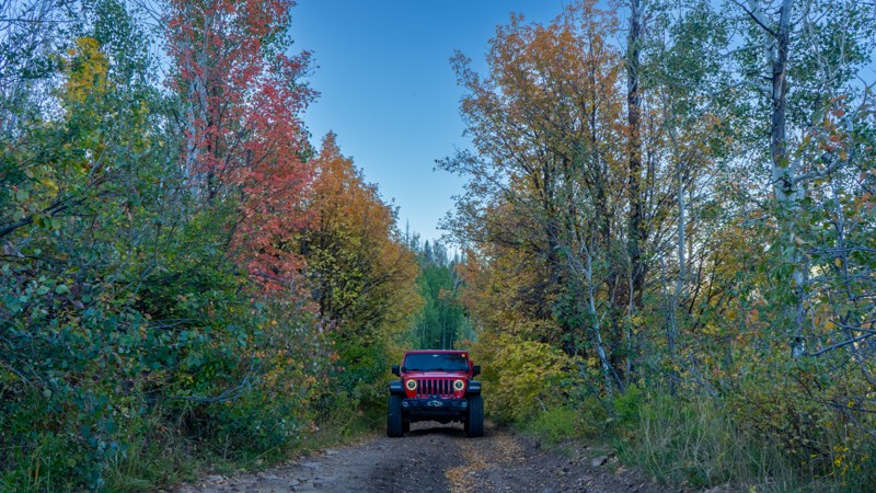
Box Flat Road is your easy gateway to the sprawling meadows and hidden canyons tucked back on the surrounding 4x4 trails. Box Flat is a remote central San Rafael Swell region with less human traffic. The trail is a well-maintained gravel road easily traveled in passenger cars equipped with durable tires. There's no established campsite along the road. However, venturing onto one of the many connecting 4x4 trails will reward you with private and remote camping.
Updated: 10/15/2024
Dock Flat
Timber Lakes, Utah
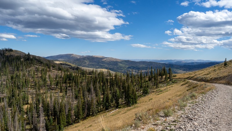
Climbing its way from US-40, Dock Flat is a rough and, at times, rocky road that guides users across its namesake flat and over to Strawberry River. The trail is quite steep and narrow along the initial climb, with exposed rocks warranting the need for 4WD and high clearance. Once on top of the flat, mud ruts and potholes litter the trail, which provides a small challenge in adverse conditions. Camping is abundant after the climb, with many hunters calling this trail home for weeks at a time in the fall. All camping options are dispersed, with no amenities offered.
Updated: 09/04/2025
Duchesne Ridge
Timber Lakes, Utah
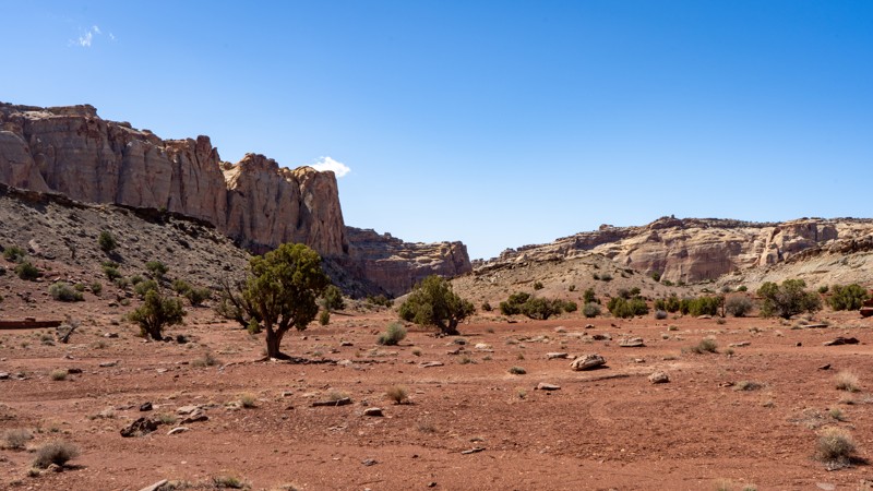
Duchesne Ridge is an impressive, unmaintained road winding along a ridgeline above the West Fork Duchesne Road and River. Although it is not maintained, the trail is relatively easy, with just a few bumpy ruts to be aware of. Any vehicle with a decent amount of clearance can handle the trail. Dispersed camping can be found in several locations, with the bulk lying on the eastern side. If you are looking for improved camping, Wolf Creek Campground is available at the trail's eastern end, and Mill Hollow Campground is on the nearby trail, Mill Hollow.
Updated: 02/04/2025
SS4295
Hanksville, Utah
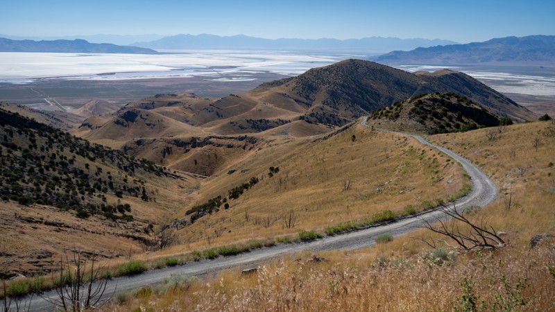
SS4295 is a popular camping spur off the even more popular Behind the Reef Road. This trail offers numerous opportunities to pitch a tent under the incredibly dark sky that central Utah is known for. Many sites are large enough to accommodate big groups, including RVs and trailers, if you decide to bring them back this far on Behind the Reef Road. This trail is no more difficult than the trail to get here, that is until you reach the end. Packed dirt and frequent use keep this trail relatively smooth for the majority. Just before the trail terminates at another campsite, there is a large patch of embedded rock. Although the route through the rock is still 2WD friendly, high clearance is definitely necessary to reach the end.
Updated: 10/15/2024
Black Mountain Road
Rowley, Utah
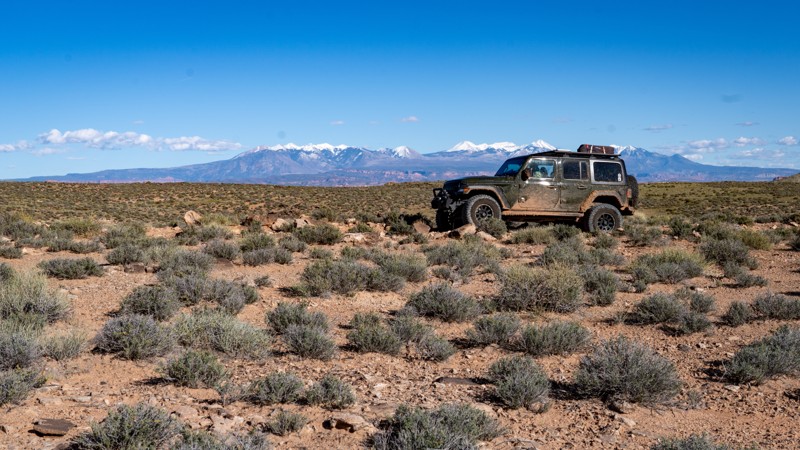
Rising 2,300 feet above the Great Salt Lake, the Lakeside Mountains are a great way to view the largest endorheic lake in the Western Hemisphere. The lack of vegetation also provides ample views of surrounding smaller mountain ranges and open valleys. Black Mountain Road is an occasionally maintained dirt road terminating at a group of cell towers. Although there are no obstacles, the steeper grades and loose dirt and gravel surface encourage the use of low range. Camping is not found along this road.
Updated: 05/01/2026
Fallen Peace Officer Trail
Moab, Utah
The Fallen Peace Officer Trail is a rugged 14-mile loop north of Moab, Utah, between Highway 191 and Arches National Park. It climbs to a high ridge with sweeping valley and La Sal Mountain views. The southern section pushes the harder end of the moderate rating. Expect steep, rocky climbs and technical ledges up to 18 to 24 inches. About 3 miles of the northern section overlap with the Copper Ridge Safari Route. There are stretches of rolling hills and several sandy wash crossings.
The project of creating this trail began following the 2010 shooting of Utah State Parks Officer Brody Young, who was critically wounded in a shootout at the Poison Spider Mesa trailhead. Dedicated in 2013 by the Utah Peace Officers Association, the trail serves as a living memorial to Utah law enforcement officers who have been killed or injured in the line of duty. The trailhead is located on Utah State Trust land and is accessible from Highway 191, approximately 13 miles north of the Colorado River bridge outside Moab.
There is a large camping area at the trailhead, suitable for big RVs or trucks towing trailers. In addition, a popular dispersed camping area can be found nearby along Klondike Bluffs Road. There are also a few small, undesignated campsites scattered along the trail itself for those seeking more secluded spots.
Updated: 10/15/2024
Iron Mine Camp Spur
Woodland, Utah
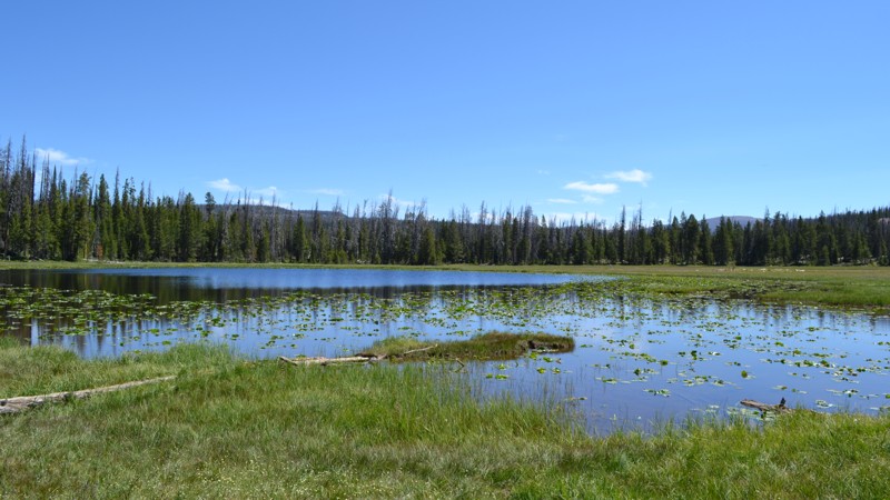
Iron Mine Camp Spur gives you a great place to base camp while also providing a small pond to toss in the line and relax. This trail is not technical at all, but ruts are beginning to develop, causing a bumpy ride. You will likely have a little seclusion compared to other trails nearby as well. Dispersed camping is available at the end of the trail. There is not much level ground, but it would be good for vehicles with rooftop tents. 3-4 vehicles would fit comfortably.
Updated: 10/15/2024
South Valley Road
Dugway, Utah
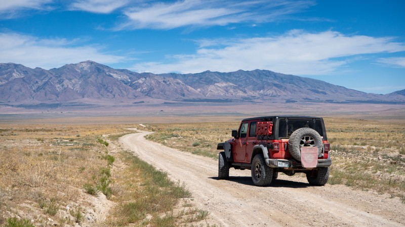
South Valley Road is an escape road leading from the Cedar Mountains to the pavement at Skull Valley Road. This is an easy, and randomly bumpy road where rain pools and ruts form. Dust is heavy most of the year, so please be respectful when passing others. Camping is not found along this road.
Updated: 07/02/2026
Castle Rock
Sevier, Utah
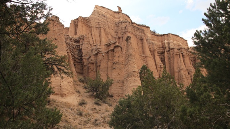
With conical spires resembling the walls of an ancient castle, Castle Rock is named for the volcanic tuff formations that line the trail's end. Along the easy, graded track, numerous ATV and hiking trails can be found, and you will also pass the Belknap Ranger Station Interpretive Area, which takes explorers back to the early European inhabitation of the canyon.
The trail ends at the Castle Rock Campground, an excellent base for exploring the area. The nearby Fremont Indian State Park operates the Fishlake National Forest facility. Thirty-one sites can accommodate tents, smaller RVs, and trailers. The campground even boasts a teepee site for adventurous campers. Each site has a fire ring, grill, and picnic table. Water spigots are scattered throughout the campground. A central bathroom has flushing toilets and a sink.
Updated: 10/15/2024
Uranium Mine
Moore, Utah
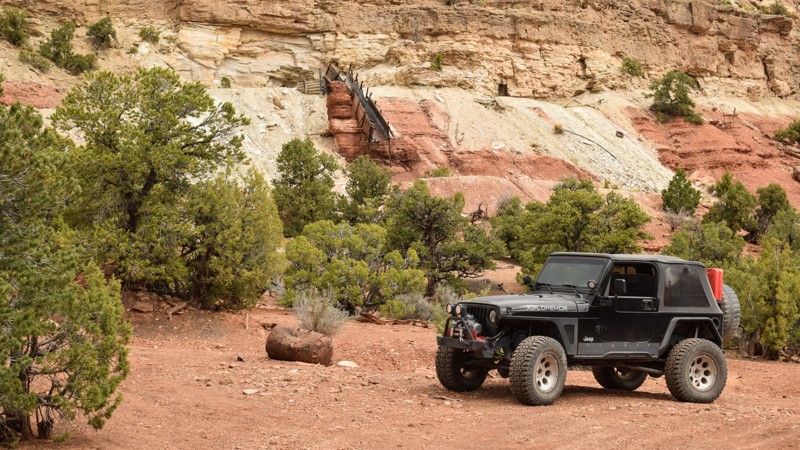
A short detour off Family Butte Road leads to what was likely a decommissioned uranium mine. The trail leading to the turnaround area is a moderate two-track with mild washouts that require high clearance. The site has a hiking trail leading up to the old flume and the closed-off tunnels. Please leave the site as you found it. The site is for day use only; please do not camp at the old mine.
Updated: 06/15/2025
Lockhart Wash
Green River, Utah
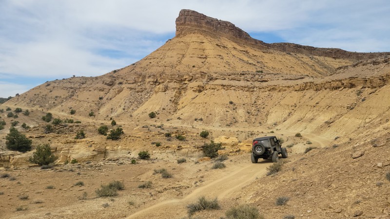
Deep within the San Rafael Swell region lies the Mexican Hat Wilderness, where access is limited to foot traffic. However, one trail, Lockhart Wash, offers an easement, allowing motorized travel into the wilderness before reaching the San Rafael River. The trail once traveled to the river edge, but now erosion has closed the final mile to the river. The trail has one nice camping area with distant views of the sandstone cliffs to the north. There is room for a couple of vehicles with tents. The route becomes rougher the further you travel. It's a bumpy two-track, without obstacles, and passable in high-clearance stock 4x4s. It is imperative that users remain on the established trail, as both sides of the road are wilderness.
Updated: 10/22/2025
Warner Cutoff
Washington, Utah
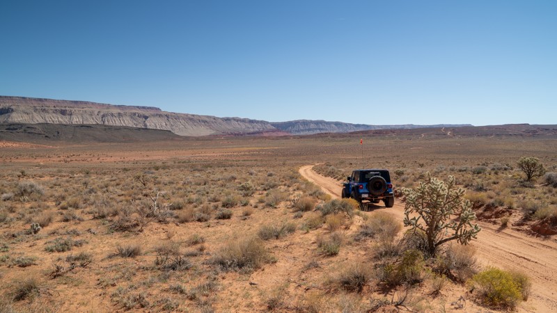
Traversing the transition zone between sandstone slickrock and the wide-open desert floor, this trail slices through the eastern half of the Sand Mountain OHV Area, tracing a section of the historic 1776 Dominguez Escalante Trail. Traveling from Razzle Dazzle to Warner Valley, the trail takes users to many other roads and trails in the area, passing through a variety of desert fauna native to southern Utah and northern Arizona. It is a low-end moderate trail that features extremely rough, slow-going terrain across a mostly sandy path with exposed slickrock and a few ledges 10"-12" high. This is not a technical trail, and most of the trail is easy, but the few ledges and the rough, slow-going terrain are where it earns the moderate rating. The eastern half of the trail crosses dry desert washes several times, where flash floods can be a real risk. At the far eastern end, dispersed camping can be widely found along Warner Valley and nearby spur roads. This trail is best suited for a high clearance 4x4 vehicle. Airing down is not mandatory, but it will greatly ease driving comfort.
About Sand Mountain
Sand Mountain is an extremely unique parcel of public land. Designated as an Open OHV Area, riders are free to make their own trails. Due to this, many of the long-established named trail routes have several variations that can take easier or more challenging routes through the intended trail. The GPX track for this trail helps you navigate the area, but various lines, bypasses, and additional obstacles may exist along the way. Riders are encouraged to stay on existing trails and not unnecessarily drive over or destroy vegetation.
Fees
Riding on Sand Mountain is entirely free. However, there are multiple entry/exit points for the area, including "the tunnel," which connects Sand Hollow State Park to the open OHV area. Any entry into the boundaries of Sand Hollow State Park requires a Utah State Park Pass.
Requirements
When operating on Sand Mountain, users must attach an orange or red safety flag to the vehicle, rising at least 8 feet off the ground.
Updated: 10/15/2024
Warrior Cabin
Moore, Utah
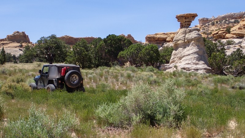
We've all said while on the trail, "I could live here." Hidden behind a sandstone butte are the fallen remains of Warrior Cabin, an unknown homestead that once stood here. Named after the nearby Lone Warrior rock art site, this short sandy two-track leads out and back to an old wooden cabin slowly disappearing into the ground. Taking your time and walking around the site, you might catch yourself thinking about it. Please stay on the designated track. The trail is soft sand and tall grass with hidden bumpy ruts. Short dead-end spurs lead up to the cliffs where small primitive campsites can be found. There is room for one to two vehicles with tents at each site.

Upgrade your Membership
Unlock all of the details on every Trail Guide and Scout Route.
Start a 7-day Free TrialBrowse Trails in Utah by City
Browse every Utah city with offroad trail guides.
Community
Partners

