By clicking "ACCEPT", you agree to be the terms and conditions of each policy linked to above. You also agree to the storing of cookies on your device to facilitate the operation and functionality of our site, enhance and customize your user experience, and to analyze how our site is used.
Colorado Off-Road Trails
569

6454
Detailed Waypoints Try a Free 7-Day Trial and unlock it all
Start a Free Trial Most Recent Trail Reviews
Rated 4/5
Open
Visited: 11/19/2026
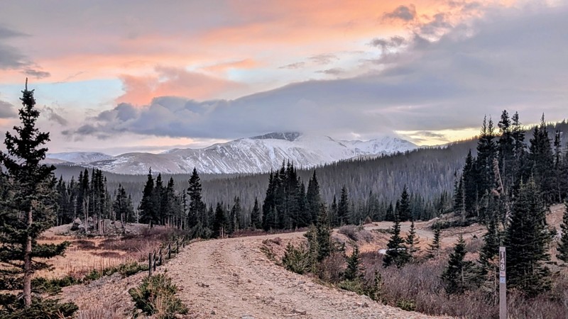
After guiding a rental wagoneer up to nearby loch lomond this past summer, I think this would have been easier for it. I would consider taking our CX5 up this if we didn't have a better option. locals...


Andrew
Rated 5/5
Open
Visited: 11/19/2026
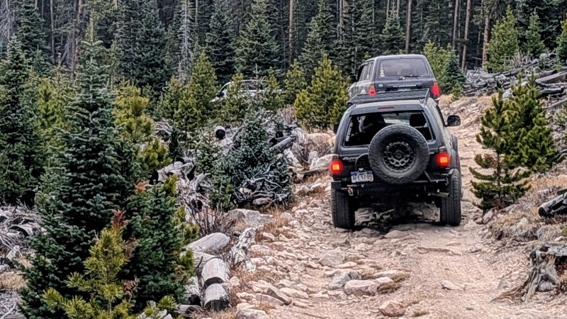
2500 ram with us did not have any issues or concerns about width. rating had me apprehensive for no reason, there are other similarly rated trails that I have no interest in doing again due to intensi...
Andrew
Rated 4/5
Open
Visited: 11/18/2026
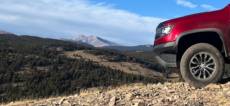
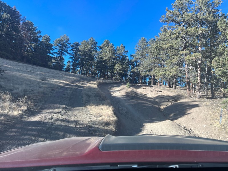
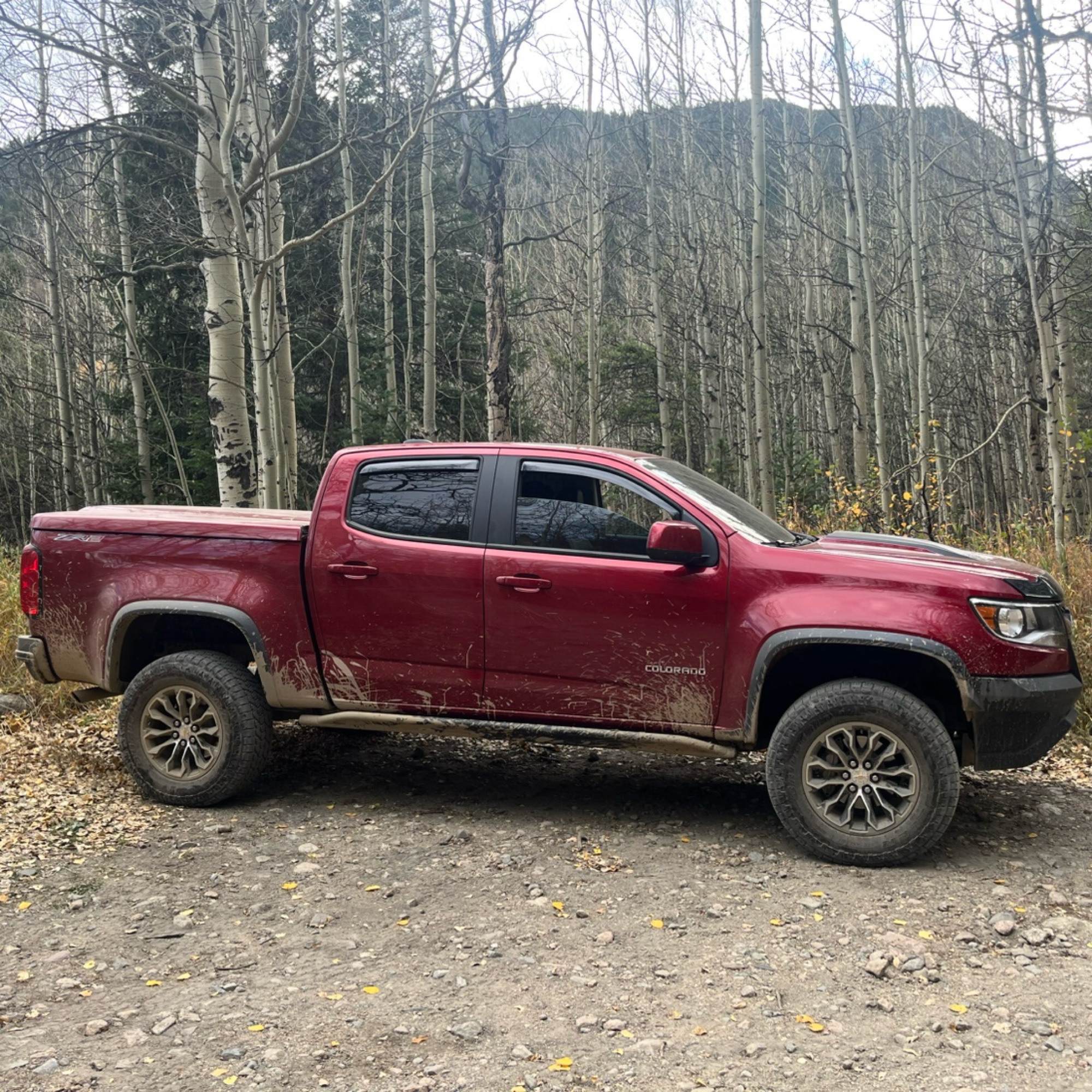
This is a short fun trail. Take the loop offshoot for an amazing view. The hill to start it from Switzerland Trail gives 3 or 4 routes to climb. It’s very tight in some places. No snow at this time.

Jesse
Rated 5/5
Open
Visited: 11/17/2026
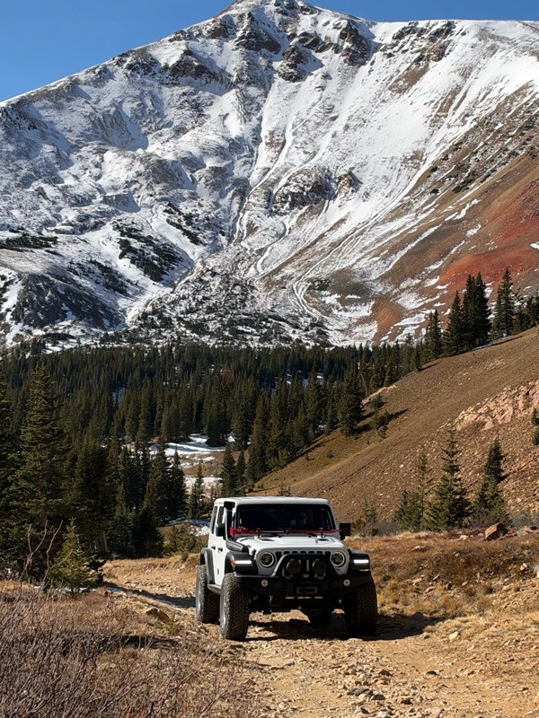
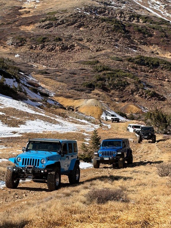
The MHJC ran the trail up to the mines to check on the trail conditions. Patches of snow and ice in the shade but nothing sketchy. I recommend a weekday run to have the trail to yourself.
KW
Ken Woo
Rated 4/5
Open
Visited: 11/17/2026
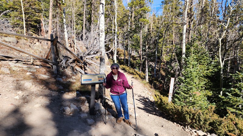
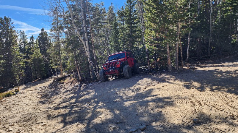
Looks like the plane and Park Cr. will be open for a few more days. My 80 year old mom has not been to the plane in over 25 years, it was fun to walk back there with her again. Not a single soul was o...
Gretchen
Rated 3/5
Open
Visited: 11/17/2026
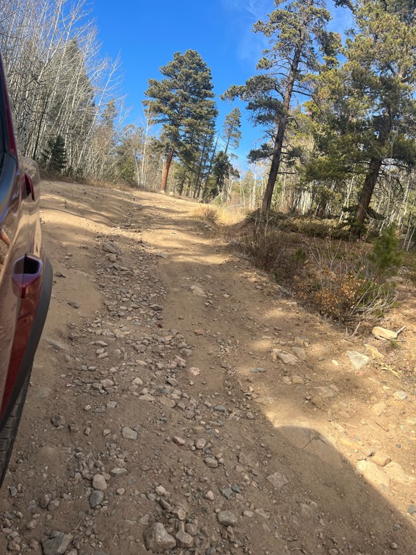
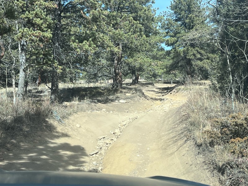
Nothing very difficult here. Mostly it’s just a nice drive through the forest. There is a pretty decent hill climb that is fun to crawl up.
Note that if you use the app navigation feature to the star...
Jesse
No Rating
Seasonal Closure
Visited: 11/17/2026
According to this trails management agency, the trail is likely closed for the season.
You can reach out to the agency for more details.
Be sure to leave us a report and let us know ...

Trails Offroad
Official Crew
Rated 5/5
Open
Visited: 11/15/2026
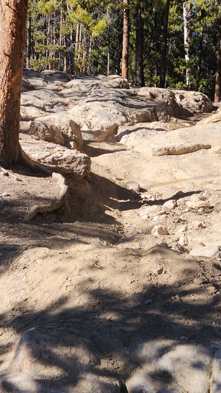
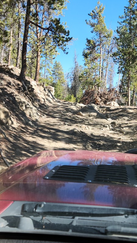
Great trail with lots of boulder obstacles. There are several off shoots for camping and more difficult obstacles.
CG
Cole Gibbs
Rated 4/5
Open
Visited: 11/15/2026
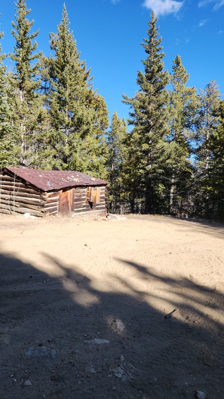
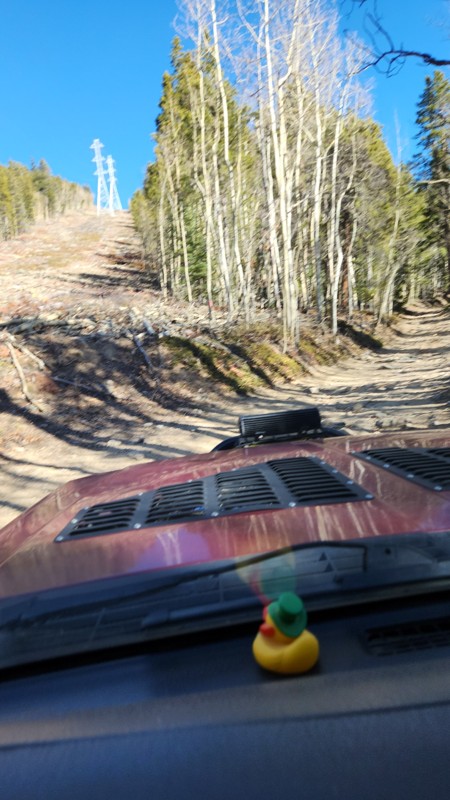
Great scenic trail that opens up to other trails with more difficulty.
CG
Cole Gibbs
Rated 5/5
Open
Visited: 11/15/2026
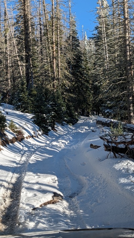
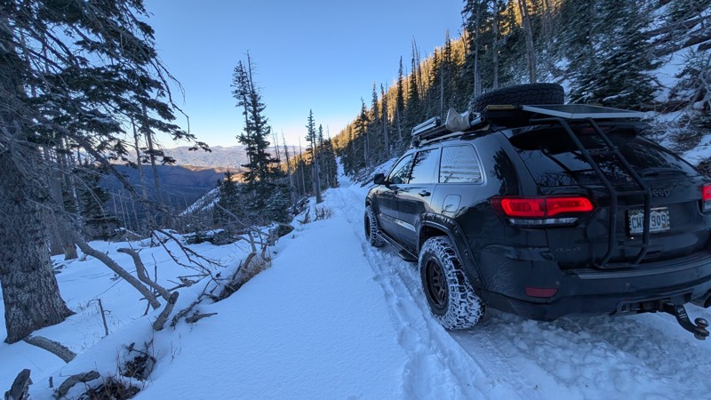
Ran this trail from west to east after the recent snow and it was more challenging than I expected due to the recent snow but was still good fun. I encountered a couple coming down when I was going up...
Jack Mackie
Rated 5/5
Open
Visited: 11/15/2026
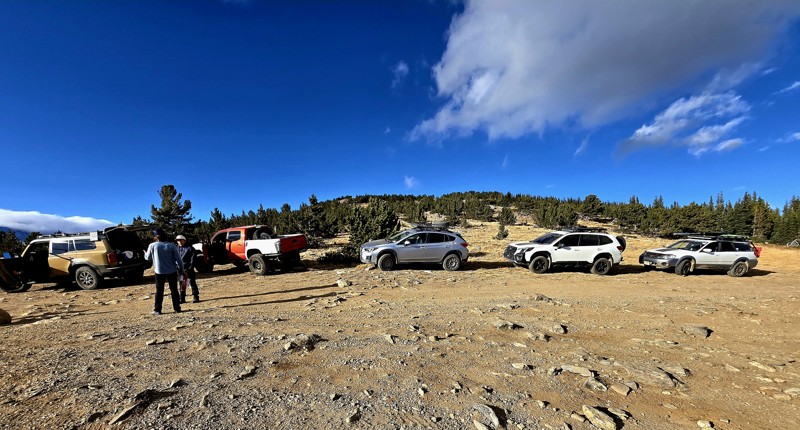
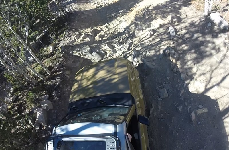
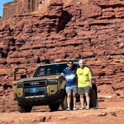
No snow and dry. The trail is more than I expected. We joined up four other vehicles; a mod Tacoma who had not issues with the obstacles, and three Subaru’s. The rock gardens, WPT 6, are certainly ...
Ron Mickle
Rated 4/5
Partially Open
Visited: 11/15/2026
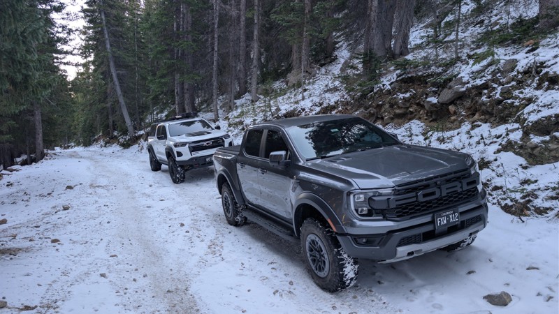
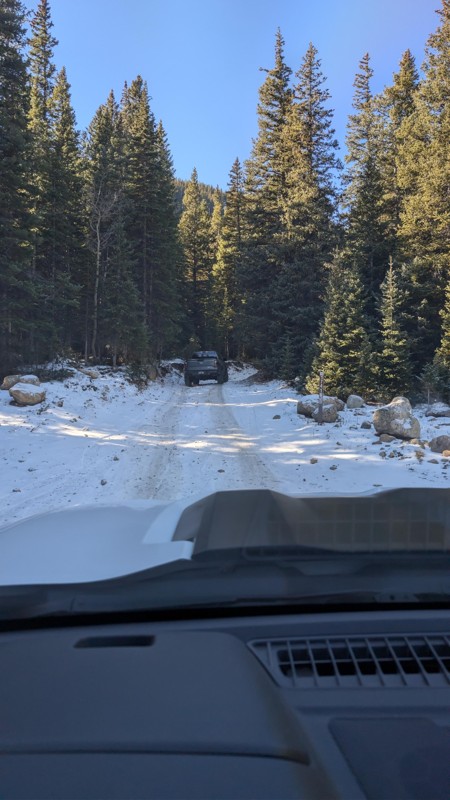
Just as M Booss reported. We made it right up to the switchback and felt it best to back out. Gen 3 Colorado Bison and 26 Ranger Raptor - could have made it up based on where we stopped but didn't w...
DL
David Leckie
No Rating
Open
Visited: 11/15/2026
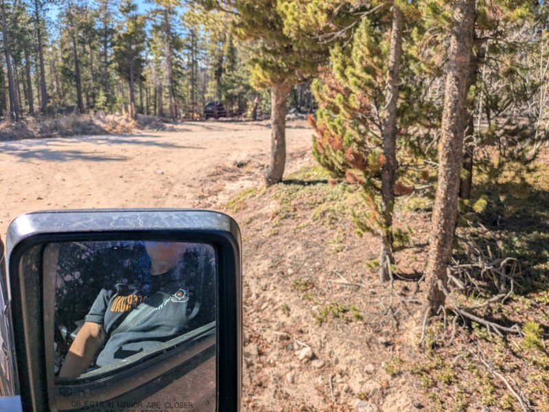
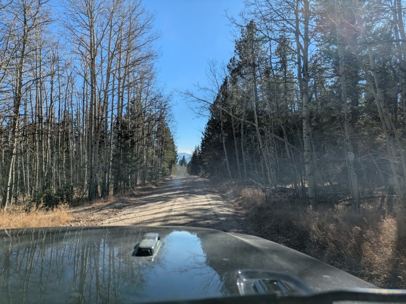
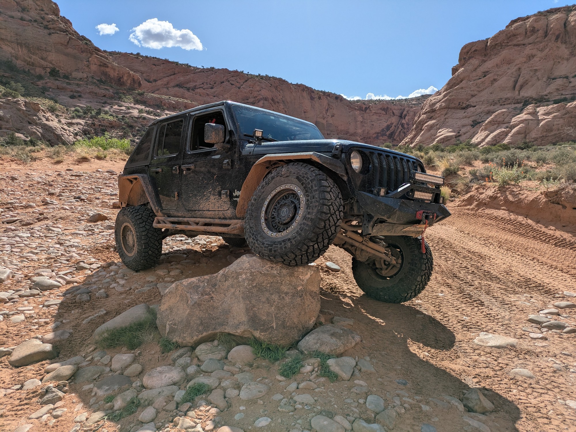
After running Storm Mountain from the east, we aired up in the meadow and took Cedar Park Road down to Drake. Easy connector: gravel through the Cedar Park neighborhood, then tight switchbacks down th...
Adventures2Rantabout
Rated 5/5
Open
Visited: 11/15/2026
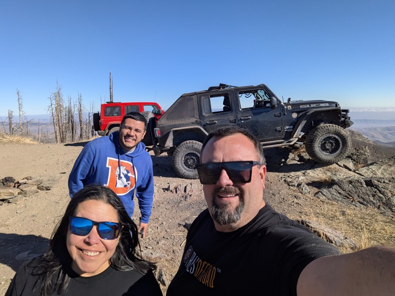
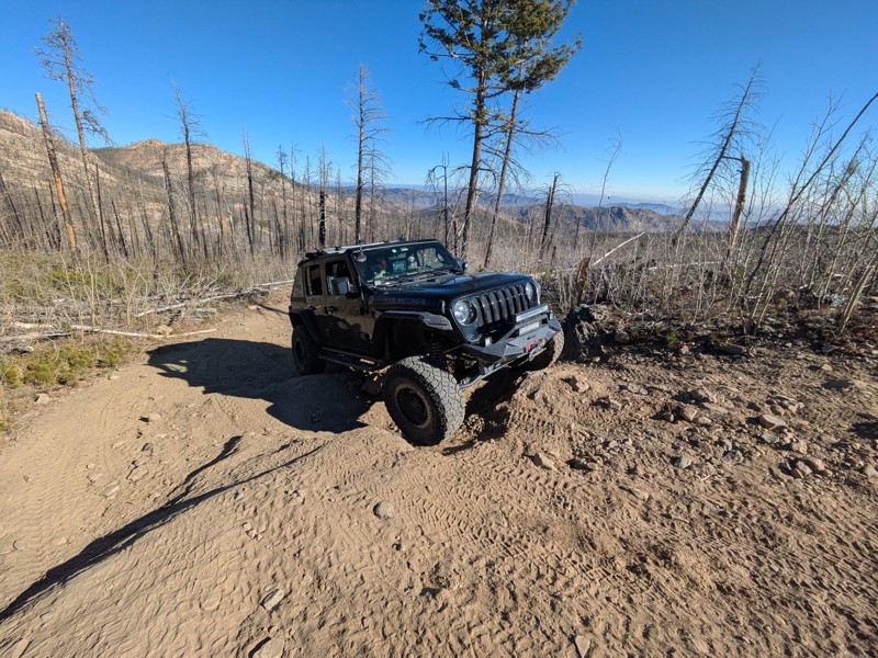
We met up with a buddy in his 2024 Wrangler Unlimited, stock except for upgraded tires. This time we were able to start on the east side, and we aired down once we got past the private property.
It w...
Adventures2Rantabout
No Rating
Seasonal Closure
Visited: 11/15/2026
According to this trails management agency, the trail is likely closed for the season.
You can reach out to the agency for more details.
Be sure to leave us a report and let us know ...
Trails Offroad
Official Crew
Seasonal Closure
Visited: 11/15/2026
According to this trails management agency, the trail is likely closed for the season.
You can reach out to the agency for more details.
Be sure to leave us a report and let us know ...
Trails Offroad
Official Crew
No Rating
Seasonal Closure
Visited: 11/15/2026
According to this trails management agency, the trail is likely closed for the season.
You can reach out to the agency for more details.
Be sure to leave us a report and let us know ...
Trails Offroad
Official Crew
No Rating
Seasonal Closure
Visited: 11/15/2026
According to this trails management agency, the trail is likely closed for the season.
You can reach out to the agency for more details.
Be sure to leave us a report and let us know ...
Trails Offroad
Official Crew
No Rating
Seasonal Closure
Visited: 11/15/2026
According to this trails management agency, the trail is likely closed for the season.
You can reach out to the agency for more details.
Be sure to leave us a report and let us know ...
Trails Offroad
Official Crew
No Rating
Seasonal Closure
Visited: 11/15/2026
According to this trails management agency, the trail is likely closed for the season.
You can reach out to the agency for more details.
Be sure to leave us a report and let us know ...
Trails Offroad
Official Crew
No Rating
Seasonal Closure
Visited: 11/15/2026
According to this trails management agency, the trail is likely closed for the season.
You can reach out to the agency for more details.
Be sure to leave us a report and let us know ...
Trails Offroad
Official Crew
No Rating
Seasonal Closure
Visited: 11/15/2026
According to this trails management agency, the trail is likely closed for the season.
You can reach out to the agency for more details.
Be sure to leave us a report and let us know ...
Trails Offroad
Official Crew
No Rating
Seasonal Closure
Visited: 11/15/2026
According to this trails management agency, the trail is likely closed for the season.
You can reach out to the agency for more details.
Be sure to leave us a report and let us know ...
Trails Offroad
Official Crew
No Rating
Seasonal Closure
Visited: 11/15/2026
According to this trails management agency, the trail is likely closed for the season.
You can reach out to the agency for more details.
Be sure to leave us a report and let us know ...
Trails Offroad
Official Crew
No Rating
Seasonal Closure
Visited: 11/15/2026
According to this trails management agency, the trail is likely closed for the season.
You can reach out to the agency for more details.
Be sure to leave us a report and let us know ...
Trails Offroad
Official Crew
No Rating
Seasonal Closure
Visited: 11/15/2026
According to this trails management agency, the trail is likely closed for the season.
You can reach out to the agency for more details.
Be sure to leave us a report and let us know ...
Trails Offroad
Official Crew
No Rating
Seasonal Closure
Visited: 11/15/2026
According to this trails management agency, the trail is likely closed for the season.
You can reach out to the agency for more details.
Be sure to leave us a report and let us know ...
Trails Offroad
Official Crew
No Rating
Seasonal Closure
Visited: 11/15/2026
According to this trails management agency, the trail is likely closed for the season.
You can reach out to the agency for more details.
Be sure to leave us a report and let us know ...
Trails Offroad
Official Crew
No Rating
Seasonal Closure
Visited: 11/15/2026
According to this trails management agency, the trail is likely closed for the season.
You can reach out to the agency for more details.
Be sure to leave us a report and let us know ...
Trails Offroad
Official Crew
No Rating
Seasonal Closure
Visited: 11/15/2026
According to this trails management agency, the trail is likely closed for the season.
You can reach out to the agency for more details.
Be sure to leave us a report and let us know ...
Trails Offroad
Official Crew
No Rating
Seasonal Closure
Visited: 11/15/2026
According to this trails management agency, the trail is likely closed for the season.
You can reach out to the agency for more details.
Be sure to leave us a report and let us know ...
Trails Offroad
Official Crew
No Rating
Seasonal Closure
Visited: 11/15/2026
According to this trails management agency, the trail is likely closed for the season.
You can reach out to the agency for more details.
Be sure to leave us a report and let us know ...
Trails Offroad
Official Crew
No Rating
Seasonal Closure
Visited: 11/15/2026
According to this trails management agency, the trail is likely closed for the season.
You can reach out to the agency for more details.
Be sure to leave us a report and let us know ...
Trails Offroad
Official Crew
No Rating
Seasonal Closure
Visited: 11/15/2026
According to this trails management agency, the trail is likely closed for the season.
You can reach out to the agency for more details.
Be sure to leave us a report and let us know ...
Trails Offroad
Official Crew
No Rating
Seasonal Closure
Visited: 11/15/2026
According to this trails management agency, the trail is likely closed for the season.
You can reach out to the agency for more details.
Be sure to leave us a report and let us know ...
Trails Offroad
Official Crew
No Rating
Seasonal Closure
Visited: 11/15/2026
According to this trails management agency, the trail is likely closed for the season.
You can reach out to the agency for more details.
Be sure to leave us a report and let us know ...
Trails Offroad
Official Crew
No Rating
Seasonal Closure
Visited: 11/15/2026
According to this trails management agency, the trail is likely closed for the season.
You can reach out to the agency for more details.
Be sure to leave us a report and let us know ...
Trails Offroad
Official Crew
No Rating
Seasonal Closure
Visited: 11/15/2026
According to this trails management agency, the trail is likely closed for the season.
You can reach out to the agency for more details.
Be sure to leave us a report and let us know ...
Trails Offroad
Official Crew
No Rating
Seasonal Closure
Visited: 11/15/2026
According to this trails management agency, the trail is likely closed for the season.
You can reach out to the agency for more details.
Be sure to leave us a report and let us know ...
Trails Offroad
Official Crew
No Rating
Seasonal Closure
Visited: 11/15/2026
According to this trails management agency, the trail is likely closed for the season.
You can reach out to the agency for more details.
Be sure to leave us a report and let us know ...
Trails Offroad
Official Crew
No Rating
Seasonal Closure
Visited: 11/15/2026
According to this trails management agency, the trail is likely closed for the season.
You can reach out to the agency for more details.
Be sure to leave us a report and let us know ...
Trails Offroad
Official Crew
No Rating
Seasonal Closure
Visited: 11/15/2026
According to this trails management agency, the trail is likely closed for the season.
You can reach out to the agency for more details.
Be sure to leave us a report and let us know ...
Trails Offroad
Official Crew
No Rating
Seasonal Closure
Visited: 11/15/2026
According to this trails management agency, the trail is likely closed for the season.
You can reach out to the agency for more details.
Be sure to leave us a report and let us know ...
Trails Offroad
Official Crew
No Rating
Seasonal Closure
Visited: 11/15/2026
According to this trails management agency, the trail is likely closed for the season.
You can reach out to the agency for more details.
Be sure to leave us a report and let us know ...
Trails Offroad
Official Crew
No Rating
Seasonal Closure
Visited: 11/15/2026
According to this trails management agency, the trail is likely closed for the season.
You can reach out to the agency for more details.
Be sure to leave us a report and let us know ...
Trails Offroad
Official Crew
No Rating
Seasonal Closure
Visited: 11/15/2026
According to this trails management agency, the trail is likely closed for the season.
You can reach out to the agency for more details.
Be sure to leave us a report and let us know ...
Trails Offroad
Official Crew
No Rating
Seasonal Closure
Visited: 11/15/2026
According to this trails management agency, the trail is likely closed for the season.
You can reach out to the agency for more details.
Be sure to leave us a report and let us know ...
Trails Offroad
Official Crew
No Rating
Seasonal Closure
Visited: 11/15/2026
According to this trails management agency, the trail is likely closed for the season.
You can reach out to the agency for more details.
Be sure to leave us a report and let us know ...
Trails Offroad
Official Crew
No Rating
Seasonal Closure
Visited: 11/15/2026
According to this trails management agency, the trail is likely closed for the season.
You can reach out to the agency for more details.
Be sure to leave us a report and let us know ...
Trails Offroad
Official Crew
No Rating
Seasonal Closure
Visited: 11/15/2026
According to this trails management agency, the trail is likely closed for the season.
You can reach out to the agency for more details.
Be sure to leave us a report and let us know ...
Trails Offroad
Official Crew
Most Popular

Updated: 10/15/2024
San Miguel Ledges
Piñon, Colorado
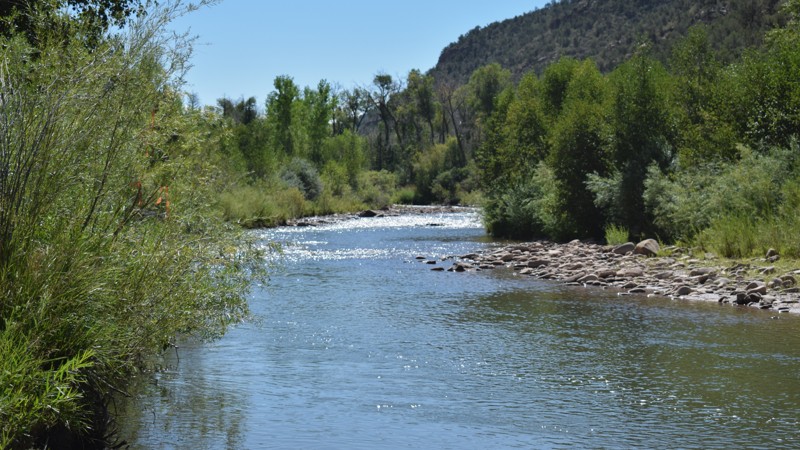
Hidden at the base of the Divide Range, San Miguel Ledges is a camping and fishing paradise. The short out-and-back trail travels along the always-flowing San Miguel River. The gravel and dirt road easily travels to a pair of organized campgrounds, with numerous sites along the river. The dense vegetation along the river opens up in a few spots where you can fish or wade in the chilly mountain runoff. Ledges Rockhouse Campground is the largest campground along the drive and the turn-around point for the trail. There is a nightly fee to use the campground, and it includes a restroom, 12 RV and 12 tent camping sites, cabanas, picnic tables, grills, and a boat ramp. The site is open all year. If you prefer free, primitive-type camping, numerous short side trails lead to campsites near the river. In dry conditions, the trail can be driven in 2WD.
Updated: 08/10/2026
Bald Hill Reservoir
Pleasant View, Colorado
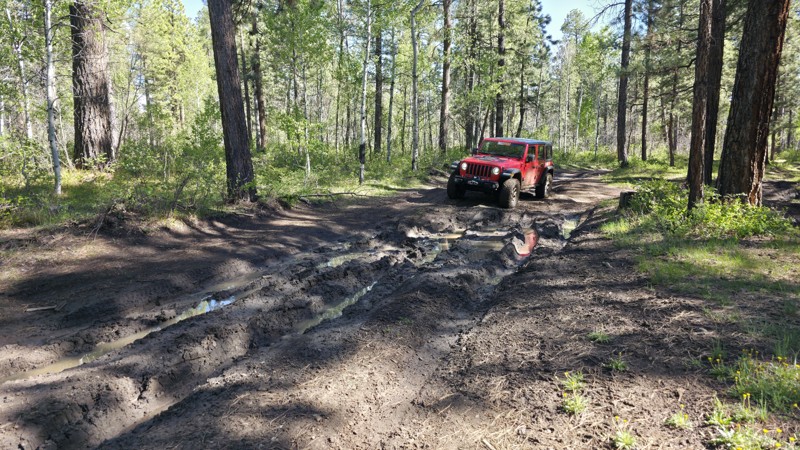
Trekking through the northern end of the Boggy Draw trail system, Bald Hill Reservoir is a 6.5-mile straight-through trail that travels between 8,000 and 8,700 feet along a high-elevation plateau above the West Dolores River. This is the most difficult full-size trail in the Boggy Draw trail system, with continuous trenches, mud holes 12 to 24 inches deep, bowling ball-sized rocks, and steep hills that keep the pace slow from start to finish. The southern end begins at Boggy Draw Reservoir, where you can find a lone, spacious campsite before getting into the difficult terrain. As the trail climbs through mixed ponderosa pine and aspen forest, it crosses extremely soft soils that retain water for long periods of time. Higher up, the pines begin to thin, giving way to open meadows and young aspen groves, but the soft soil and deep mud holes continue across the highest sections of the route. Several rocky hills add to the challenge, even where the trail surface becomes firmer. Be extremely cautious if venturing here alone, as mature trees strong enough for winching are limited in many areas. This trail can become nearly impossible during wet weather due to the soil type.
Bald Hill Reservoir is best suited for modified vehicles with larger tires and a lift. Frame-mounted recovery points are necessary, and lockers and a winch are highly recommended.
Updated: 06/13/2026
Prohibition
Rustic, Colorado
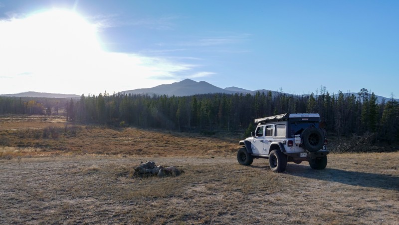
Prohibition is a short out-and-back trail worth checking out if you are looking for nice, secluded camping while you're out exploring the Roosevelt National Forest. The trail itself is relatively easy, and it's not uncommon to see larger camping rigs, such as fifth-wheels, occupying the campsite at the very end, which has great views of South Bald Mountain. It is worth noting that this is moose country so plan accordingly.
Updated: 06/23/2025
Leavenworth Creek Spur Road
Silver Plume, Colorado
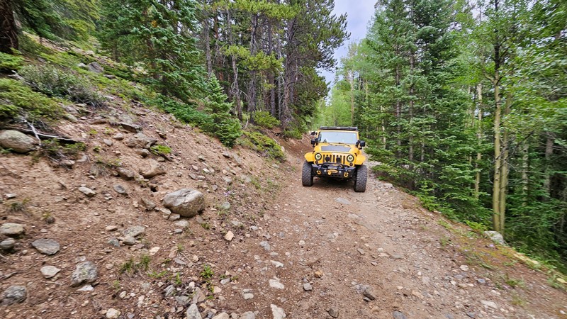
Leavenworth Creek Spur Road is a compact connector between Leavenworth Creek Road and Historic Waldorf Wagon Road. This short stretch is characterized by its steep incline, offering a brief but exhilarating challenge for those traversing the area. While it doesn't support camping, the spur is a great way to connect the trails and change up how you explore this area.
Updated: 11/15/2026
Taylor Mountain Spur
Allenspark, Colorado
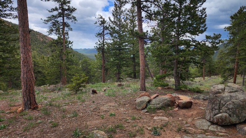
This is an extremely short dead-end spur off of the main Taylor Mountain artery that travels past a couple of campsites and ends abruptly at a tiny turnaround. The road starts as hard-packed dirt with some exposed rocks, but quickly gets rockier, steeper, and narrower, making for an extremely rough drive. The campsites along the trail are small and best suited for a single vehicle. Due to the rocky terrain, a vehicle-mounted tent or hammock would be the best camping setup. This trail is suitable for any high clearance 4x4 vehicle.
Updated: 10/15/2024
Comanche Grassland - David Canyon AA
Ormega, Colorado
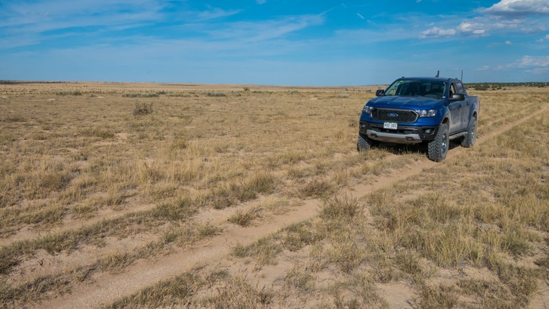
Comanche National Grassland features a sprawling network of double-track trails through rolling hills and arroyos on the plains of southeastern Colorado. On a clear day, you can see from Pikes Peak to the Spanish Peaks and all the way out to Kansas. This area is open year-round and is usually passable even in the winter when the mountain trails are often snowed in. The area is popular for big game hunters and is most busy during hunting season.
David Canyon AA (FS 2200.AA) is an overgrown double-track trail through rolling grasslands. The path through the grass is not very obvious in places, especially at the east end, so some scouting on foot may be needed if running from east to west. The trail surface is a mixture of gravel and fine dirt. When wet, this dirt can be extremely slippery. Any stock 4x4 can easily travel this trail. This is a short connector trail between FS 2200.A and FS 2200.C.
This is active ranch land, and grazing cattle are common. The trail crosses a livestock pen at the west end. Be sure to close both gates behind you after passing through. If cattle are on the road, drive slowly and wait for the cattle to move out of the way.
Dispersed camping is permitted anywhere up to 1 vehicle length from the trail on National Forest Service land. However, there are no existing improved campsites. Leave your campsite the way you found it.
Updated: 07/02/2026
369 C
Fairview, Colorado
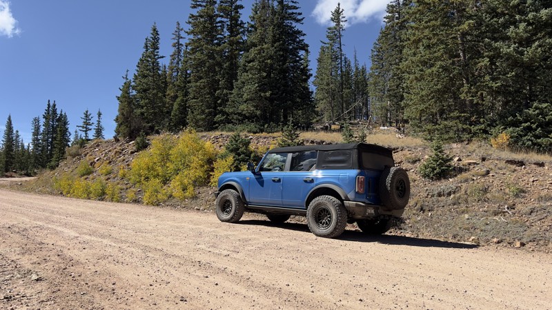
FR 369.C is a short loop into a logging area just off of Greenhorn Mountain Road. Due to the constant vehicle traffic along this trail, FR 369.C is a compacted dirt trail with no obstacles. This trail does not offer any views, but there is a solo campsite with an established fire ring along that trail. This trail can be completed by a low-clearance 2WD vehicle.
Updated: 05/02/2025
Fourmile Spur Road
Americus, Colorado
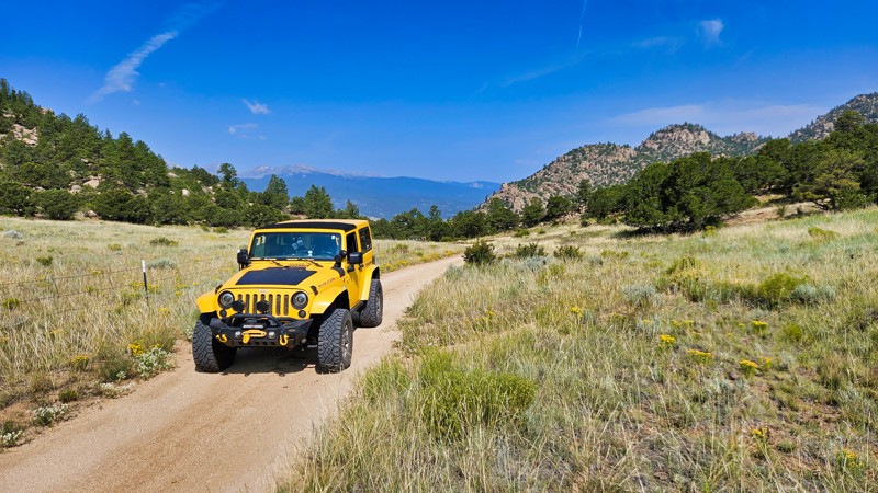
Fourmile Spur Road, off Fourmile Creek near Buena Vista, is a short camping spur known for its excellent camp spots that are particularly suited for RV's. This tranquil stretch offers a serene setting complemented by beautiful scenery, making it an ideal choice for those looking to enjoy a peaceful nature retreat. Whether you're setting up a tent or parking an RV, the spots along Fourmile Spur Road provide both convenience and picturesque views that enhance any camping experience.
Updated: 06/09/2026
Boggy Draw Road
Dolores, Colorado
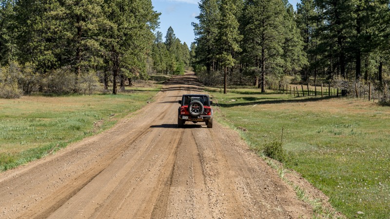
Boggy Draw Road sits on the plateau just north of Dolores, Colorado, within the San Juan National Forest, winding through scattered ponderosa pine, oak brush, open meadows, and quiet stretches of high-country forest. The road serves as the backbone of a larger multi-use trail system shaped by generations of ranching and recreation, offering an easygoing way to explore a lesser-known side of southwest Colorado. Rather than big ledges or dramatic mountain passes, Boggy Draw delivers a relaxing mix of forest scenery, wildlife habitat, camping access, and year-round recreation opportunities. Elk, mule deer, and wild turkeys are commonly seen in the area, making this a quiet, accessible escape with plenty of reasons to slow down and take in the surroundings.
Updated: 11/12/2024
P12 Road
Uravan, Colorado
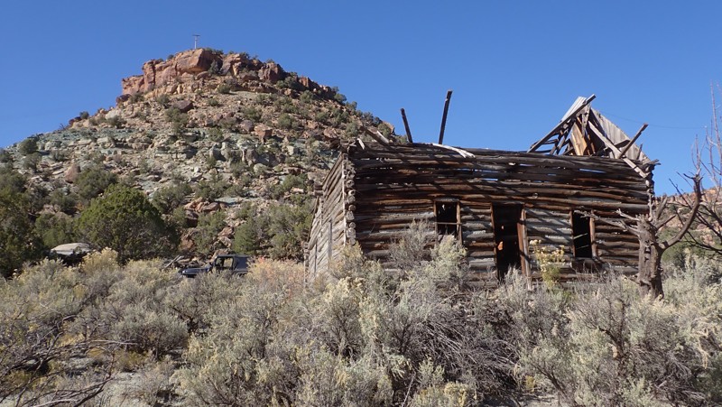
Quickly climbing above the red sandstone cliffs along Highway 90 in western Colorado, P12 is a twisting scenic drive ending near an old log cabin from boom days of uranium mining. The western trailhead is almost blind, and the steep 300' loose gravel climb is just the beginning of the colorful drive around Lone Tree Mesa and along East Mesa Creek. The trail is semi-maintained gravel and dirt with sections that can be damaged after rainstorms. The entire route can be completed in 2WD with durable tires and high ground clearance. The trail is wide enough for all full-size overland vehicles and trailers. Camping along this route is limited to one large and scenic campsite found shortly after climbing up the hill from Highway 90. There is room for 4-5 vehicles with tents and a large rock fire ring. The two-story, multi-room log cabin is near the east end of the trail, immediately along the edge of the road. It appears to have been a homestead with other small structures and a chicken coup nearby. Please respect the site and leave it as you found it.
Updated: 07/02/2026
Chalk Mountain
Copper Mountain, Colorado
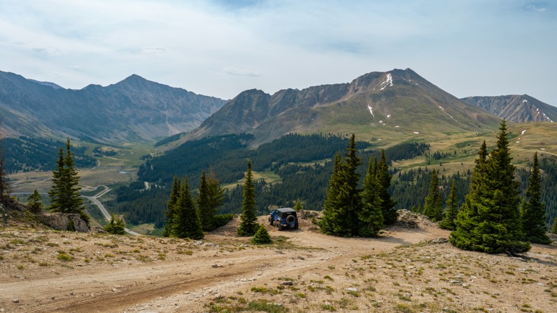
Chalk Mountain is a scenic out-and-back climb that begins just south of Fremont Pass on Highway 91 and steadily gains more than 1,600 feet as it ascends to nearly 12,000 feet. The road starts as a straightforward climb before becoming rougher with exposed decomposing granite, embedded rocks, and erosion holes up to 10 to 12 inches deep, creating a slow, bumpy drive that is best suited to a high clearance 4x4 with low range. Drivers with some off-road experience will find the trail enjoyable rather than intimidating, and any mildly modified vehicle with larger tires will handle the terrain easily. About two miles in, the trail reaches a broad false summit where several large, level dispersed campsites offer outstanding views of Taylor Hill, North Sheep Mountain, and Buckeye Peak. The climb continues to a higher ridgeline with spectacular overlooks of Fremont Pass, the massive Climax Mine, and a skyline filled with prominent peaks, including Traver Peak, Mount Arkansas, and Mount Cameron. The trail ends at a scenic, well-protected campsite near the summit, making Chalk Mountain an excellent destination for campers and anyone looking for one of the best panoramic mountain drives in the Leadville area.
Updated: 10/15/2024
Elvis Road
Westcreek, Colorado
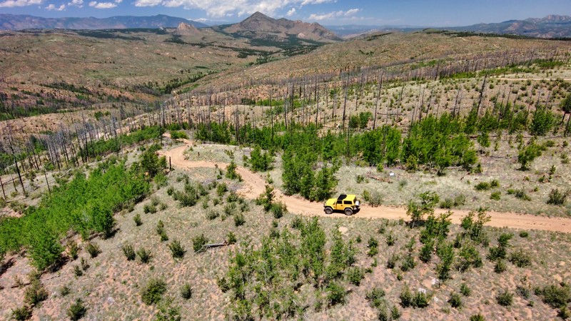
Ready to be "All Shook Up"? Elvis Road is a rough, rutted offshoot of Rule Ridge Road with terrain that's bound to get your wheels trembling. Yet, far from a "Heartbreak Hotel," it's an off-roader's paradise, offering ample dispersed camping for those daring enough to take on the challenge. So, with "A Little Less Conversation" and a little more action, gear up your vehicle and hit this trail!
Updated: 09/29/2025
Gashouse
Pine, Colorado
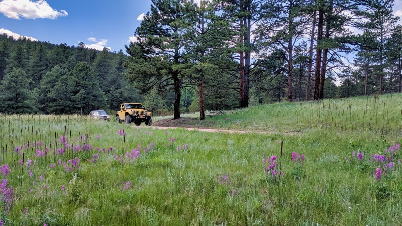
Located near Pine, Colorado, this short and simple out-and-back spur trail off Redskin Road leads to the Gashouse Gulch hiking trailhead. Gashouse Road is a mild trail with with only small rocks and sand to contend with. Along the drive, you will notice several rock formations and wildflowers along the trail. The Gashouse Gulch hiking trail is part of the Buffalo Creek Recreation Area, which covers nearly 25 square miles of multi-use trails and camping. Most of these trails directly connect to the famous Colorado Trail (FS 1776) and, locally, 50 miles of hiking and biking trails.
Updated: 09/02/2026
Hartman Rocks Recreation Area
Gunnison, Colorado
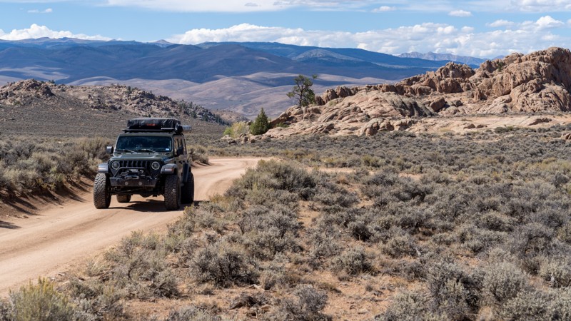
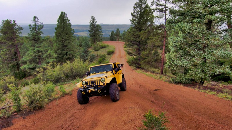
Hartman Rocks Recreation Area sits four miles southwest of Gunnison, Colorado, spanning roughly 14,000 acres of high-desert public land jointly managed by the Bureau of Land Management, the City of Gunnison, and Gunnison County. With granite outcroppings, slickrock, and sagebrush terrain, it’s a gorgeous area to do off-roading and camping.
This route is an easy network of roads and two-tracks that wrap around Hartman Rocks Recreation Area. Use this as your main route and choose any of the spur roads for more adventure or camping spots. Expect varied terrain, including hard-packed gravel, sand, slickrock, small rocks, and short ledges. The hardest section on this specific route is a steep hill with loose gravel on the McCabe Lane side. However, some spur roads have harder sections that could include technical obstacles such as washouts and mild to moderate rock crawling. A high-clearance 4x4 is recommended, but not necessary for this route. The area offers 45 miles of off-road trails open to full-size 4x4s, ATVs, dirt bikes, and SxSs.
The area has 50 designated dry/primitive campsites. The McCabe Lane entrance is easily reached by vans and even large RVs and toy haulers. The hill into the east side Base Area may be too steep and narrow for larger motorhomes and fifth-wheels, especially when wet. Designated dispersed sites are scattered throughout the area. Claiming one is as simple as pitching a tent, with many spots featuring picnic tables and fire rings. However, vault toilets are sparse.
No fees or permits are required for offroading or camping.
Like the trails in the surrounding areas, seasonal closures apply, so plan around wildlife protections and mud season. All roads and trails south of Powerline Road are closed to motorized and mountain bike use from March 15 to May 15 each year to protect Gunnison Sage-grouse breeding habitat. During this closure, Hartman Rocks is typically closed to all motorized use.
Updated: 10/15/2024
Lookout Road
Westcreek, Colorado
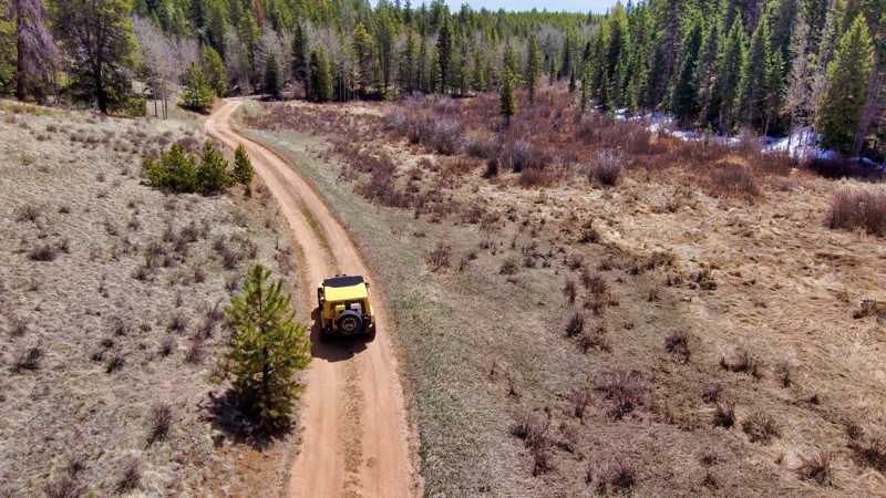
Lookout Road is a gentle trail dotted with plenty of campsites that boast beautiful views. With just a few mild ruts along the way, it’s an easy drive for anyone looking to enjoy a relaxed camping trip surrounded by nature. This trail is perfect for those who want to soak in the scenery without rough riding.
Updated: 11/03/2026
Arrowhead Cabin
Gateway, Colorado
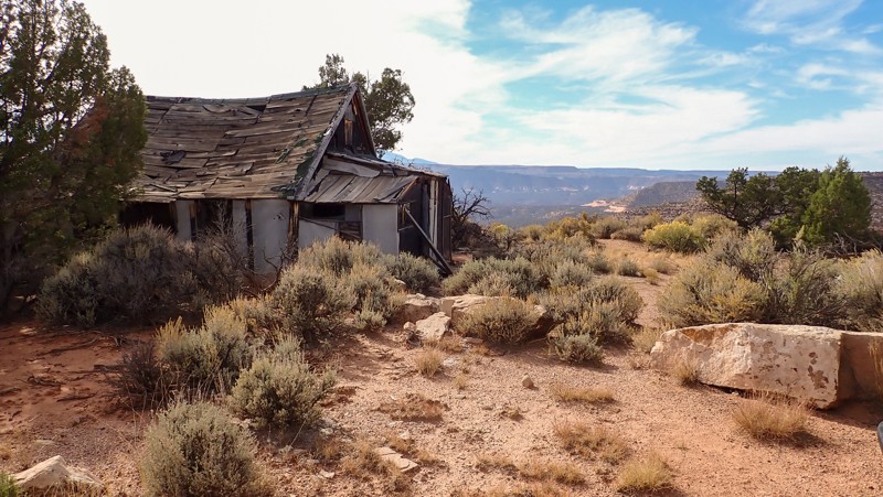
Located at 6,500", Arrowhead Cabin is a short spur trail on the edge of a sandstone cliff with amazing views of the Manti-La Sal Mountain range. It sounds like paradise until you barely enter the smelly, collapsing multi-room cabin. Once part of the uranium mining boom and the nearby Arrowhead Camp, the cabin is a fading remnant of the area's mining boom from 1915 to the 1980s. The short trail leading out and back to the cabin has a couple of deep off-camber washouts with large rocks that require 4x4 and high-ground clearance. The cabin's roof is falling in, and entering can be hazardous. The view behind the cabin explains part of why it's there. The other reason is the numerous mines surrounding the cabin on the mesa. To better understand life on the Uncompahgre Plateau during the mining boom, visit the nearby Calamity Camp. In the sideyard of the cabin is a large stone fire ring and room for a few tents on the sandy grass. There are nails on the ground around the cabin. Do not park too close.
Updated: 10/15/2024
Saylor Park Cutoff Road
Palmer Lake, Colorado
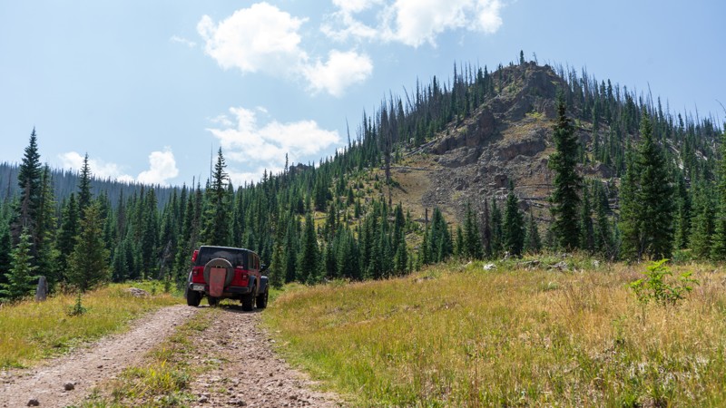
Saylor Park Cutoff Road is a straightforward connector in the area, offering a quiet drive through the woods without notable scenery. This simple trail provides a peaceful journey, primarily focused on linking Saylor Park Road to Chimney Peak Road within the region rather than scenic highlights. While no camping sites are directly along the road, dispersed camping is allowed in the area, making it a suitable option for those exploring the forested terrain. Saylor Park Cutoff Road is ideal for travelers seeking a tranquil woodland drive and a base for broader exploration.
Updated: 06/29/2026
Lime Creek A
Spar City, Colorado
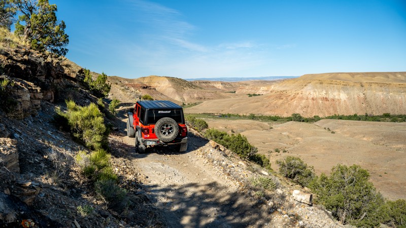
Lime Creek A is a short spur off Lime Creek, leading back to private property boundaries and a yurt. This trail has no obstacles. However, mud pits form quickly during afternoon rainstorms. The trail appears to continue, but updated Forest Service MVUMs do not have this connecter to Lime Creek U, so this trail deadends at a locked private property gate. Camping was not found along this short spur.
Updated: 07/27/2026
Smith Mountain Road
Lazear, Colorado
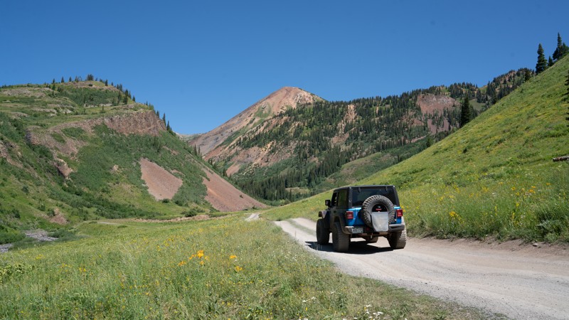
Smith Mountain Road, also signed in places as Smith Mountain Jeep Trail, is a 7.5-mile 4x4 route near Delta, Colorado, that combines with South River Road to create a scenic moderate loop above the Gunnison River. Running the trail clockwise is recommended because it places drivers uphill through the narrow shelf road section, reducing the chance of having to yield or back down in the most confined part of the trail. The eastern climb is the trail’s main challenge, with a steep grade of loose, football-sized rock along a single-vehicle-wide shelf road. Passing is extremely limited for roughly half a mile, and drivers should watch carefully for oncoming traffic before committing to the climb.
Near the top of the ascent, the trail encounters small sandstone ledges under 12 inches before leveling out across the mesa. From there, Smith Mountain Road follows the rim above the Black Canyon of the Gunnison, offering several impressive canyon overlooks, distant views of the West Elk Range, and remote, exposed campsites. The route also travels through tight pinyon-juniper vegetation where pinstriping is likely, especially for wider vehicles.
After passing Red Rock Nighthorse Trail, the road begins a gradual descent back toward the valley floor, where the terrain eases, and the pace becomes more relaxed. Smith Mountain Road is best suited for high-clearance 4x4s with low-range and off-road tires. It is a good choice for drivers looking for something rougher and more engaging than a graded road, while still remaining manageable in a properly equipped vehicle.
Updated: 10/15/2024
Slate River Spur
Pittsburg, Colorado
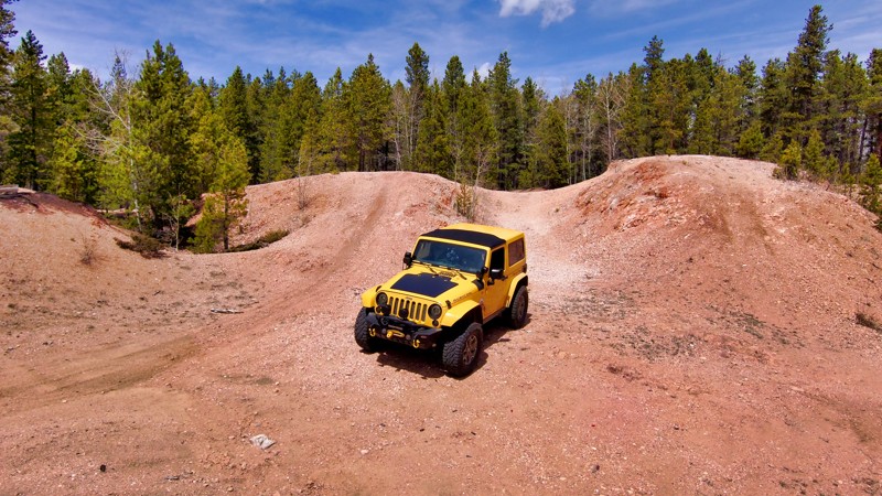
If you find yourself along Slate River Road and need to set up camp for the night, make sure you pop your head down Slate River Spur. This trail has a few of the Slate River designated campsites and provides a bit of privacy from the campsites off the main trail. It's not a life-changing side quest, but getting a bit more peace and quiet off the main trail might be worth it.
Updated: 11/12/2024
Chimney Peak Road
Palmer Lake, Colorado
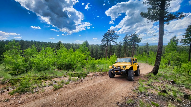
Chimney Peak Road, branching off from Ice Cave Road and Saylor Park Cutoff Road, offers a unique off-roading experience with its fun rock scree area to navigate. While the trail lacks significant scenic views, the fun of climbing through the rock scree provides a touch of adventure for offroad enthusiasts. No established camping sites are along Chimney Peak Road, although dispersed camping is permitted in the surrounding area. The trail eventually ends in a tight dead end, and it is best to consider turning around at the large rock scree pile to avoid having to backup through the trees.
Updated: 10/15/2024
Rib Cage Road
Divide, Colorado
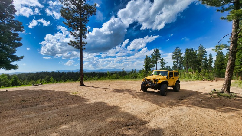
Rib Cage Road, connecting to Rule Ridge Road, is a trail of modest difficulty featuring a slightly rutted terrain of dirt and loose rock. The journey is fairly manageable by a 2WD vehicle with clearance. Along the route, dispersed camping is allowed for those seeking an overnight adventure.
Updated: 10/15/2024
Clearcut 2 Road
Divide, Colorado
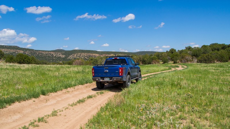
Clearcut 2 Road, accessible from Rule Ridge Road, is a rough dirt trail primarily used as a camping spur. Its terrain might be challenging due to the rugged surface, but it also offers opportunities for dispersed camping. Despite its roughness, the trail is passable for those with a sense of adventure and a 2WD vehicle with clearance.
Updated: 10/15/2024
Penrose Commons 6102H
Adelaide, Colorado
Penrose Commons is a BLM OHV recreation area near Penrose, Colorado. The area is full of crisscrossing full-size and ATV trails of varying difficulty. BLM 6102H is a short, easy spur that leads to a large turnaround area and the trailhead for ATV trail T6102E. The large loop at the end can easily fit ten vehicles or more.
Camping within Penrose Commons is limited to designated sites only, which are marked with camping signs. No campsites can be found along this trail. Vault toilets are located at the entrance to the OHV area.

Upgrade your Membership
Unlock all of the details on every Trail Guide and Scout Route.
Start a 7-day Free TrialTop Colorado Cities for Offroading
Browse Trails in Colorado by City
Browse every Colorado city with offroad trail guides.
Community
Partners

