










By clicking "ACCEPT", you agree to be the terms and conditions of each policy linked to above. You also agree to the storing of cookies on your device to facilitate the operation and functionality of our site, enhance and customize your user experience, and to analyze how our site is used.
Utah Off-Road Trails
359
Total Trail Guides 334

4759
Detailed Waypoints 925
Try a Free 7-Day Trial and unlock it all
Start a Free Trial Most Recent Trail Reviews
Rated 5/5
Open
Visited: 09/25/2026
We drove this top to bottom in a 2025 Tundra on 34s. No real obstacles, just rough and steep.

SS
Sebastian S.
P
Peaks&Pixels
No Rating
Open
Visited: 09/24/2026
This trail has been graded recently and is now an easy trail.
IE
Ingrid Enyeart
Rated 5/5
Partially Open
Visited: 09/22/2026
The portion of the trail between the fork at 11 and the fork at 13 has two major ledges that have formed going into and out of the wash. Not sure what vehicle could overcome these. So just take the sc...


CI
Christine Irsik
Rated 4/5
Open
Visited: 09/22/2026
We enjoyed this trail and will definitely do it again. Gorgeous views at many points along the trail. We didn’t try The Wall, but everything else was just enough of a challenge for us and nice that m...
LF
Leslie F
No Rating
Open
Visited: 09/22/2026
Drove out here in a thunderstorm after doing dome plateau overlook. Epic camping. peaceful. unparalleled views. trail had two steep rocky sections I used 4wd low but probably didn't need to.

JR
jon ross
No Rating
Open
Visited: 09/21/2026
This is a short 2 mile of so cut off trail. Has a wash out with a by pass half way through.



Earl Neisler
Earl Neisler
Rated 2/5
Open
Visited: 09/21/2026
Pinstripe Alley nonstop for the first 4 miles. INo view to be had until waypoint 7. It was a beautiful view then we turned around. Should’ve read the reviews before we started the trail, because th...
LF
Leslie F
Rated 5/5
Open
Visited: 09/21/2026
This is a highlight for the trip. We stayed at waypoint10 for the night.


Earl Neisler
Rated 4/5
Open
Visited: 09/21/2026
Nice connector. The short out back was the hardest and not that short.


Earl Neisler
Rated 4/5
Open
Visited: 09/21/2026
A well maintained road. Found a nice camp site on the south in.
Earl Neisler

Jesse Martin
Jesse Martin
Rated 5/5
Open
Visited: 09/20/2026
Great area to go camping and gather for family reunions. There are multiple other trails that fork off throughout the trail to explore.

Dustin
Earl Neisler
Rated 5/5
Open
Visited: 09/20/2026
Only did apart due to time. This is 1 I will come back and finish.

Earl Neisler
Rated 3/5
Open
Visited: 09/20/2026
Not much to say it a slow easy. A good connecting trail.
Earl Neisler
No Rating
Open
Visited: 09/20/2026
We started just south of Cottonwood Canyon. We stop and looked but could not fine the rock art. The area was a nice to see all the green.


Earl Neisler
Rated 4/5
Open
Visited: 09/19/2026
Great trail, we drove through waypoints 24-35. Easy ride with a good amount of mud holes with few ruts on the stretch we drove. Would love to complete the whole trail at a later date.
Dustin
Rated 4/5
Open
Visited: 09/19/2026
Fun easy trail. Great way to get out and enjoy a relaxing trail ride to take in nature and see the fall colors.
Dustin
Rated 5/5
Open
Visited: 09/19/2026
Great Trail! The scenery was good with lots of wildlife. The trail was diverse that give drivers the opportunity to use both high and low four wheel drive. Trail has both wide and narrow areas.
Dustin
Rated 5/5
Open
Visited: 09/18/2026
I run this trail every year. Always fun and beautiful views. Fair amount of off camber sections.

Jeff Klaassen
Rated 5/5
Open
Visited: 09/18/2026
This was a good trail. The trail still had so flood damage but was passable. Highly recommended this. Has some all some view. We took 2 day to enjoy the ride and views.


Earl Neisler
No Rating
Open
Visited: 09/16/2026
Very fun, short trail. We did the loop but not Wipeout Hill. The sandy sections were a blast and there were a few ledges and obstacles that probably warrant a 5 but are still a fun challenge. We did i...



Mark Signorelli
Rated 4/5
Open
Visited: 09/15/2026
Ran this one and it's a decent stretch for anyone with a high clearance 4x4. The early sagebrush section had me watching my GPS track closely since the road nearly disappears a few times, but it alway...



Jay North
Official Crew
Rated 4/5
Open
Visited: 09/15/2026
Ran this as a quick add-on while working through the rest of the Red Hills network, and it's a fun one to knock out in under an hour. The wash crossing is the one spot where you actually have to think...


Jay North
Official Crew
Rated 3/5
Open
Visited: 09/15/2026
Ran this one on a dry afternoon and came away satisfied without being blown away. The rocky, rolling grade keeps things interesting without ever feeling out of reach for a stock high clearance rig, th...


Jay North
Official Crew
Rated 4/5
Open
Visited: 09/15/2026
Ran this one on an afternoon when I didn't have time for a full day out, and it delivered more than I expected for a short climb. The hill about a mile in makes you actually think about your line, and...


Jay North
Official Crew
Rated 4/5
Open
Visited: 09/13/2026
Red Peak Road is a short, easy cruise that's mostly smooth dirt with just enough texture to keep it interesting. There's a mild rough patch early on and a slightly rockier stretch past the halfway poi...


Jay North
Official Crew
Rated 2/5
Open
Visited: 09/13/2026
This is an easy, low-key cruise with a short technical bump right in the middle where it ties into the rest of the network, otherwise it is just packed dirt and gravel the whole way. Nothing here dema...


Jay North
Official Crew
Rated 4/5
Open
Visited: 09/13/2026
This one's an easy, mellow cruiser and it shows in how quick it feels behind the wheel. The rocky spots near the start and about two thirds up are barely worth mentioning, just some careful tire place...


Jay North
Official Crew
Rated 5/5
Open
Visited: 09/13/2026
This one's a fun add-on if you're already out in the area, easy enough for most of the way that a stock rig won't break a sweat, with just a couple of hard spots to keep things interesting. The washou...


Jay North
Official Crew
Rated 4/5
Open
Visited: 09/13/2026
A nice view of Kanab. Steepish and possibly slick when muddy. One spot has a small rock shelf. 4x4 recommended.


Ben Ruddell
Official Crew
Rated 3/5
Open
Visited: 09/13/2026
Easy, suitable for high clearance 2WD on a dry day, though four wheel drive earns its keep if the ground's been wet. The ruts along the way are mild and easy to place your tires around, and the two wa...


Jay North
Official Crew
No Rating
Open
Visited: 09/12/2026
Crazy no reviews since I ran it last May. We ran it again this time the whole trail out to the south overlook. It had rained the night before and into the morning. The rock dried up quick but a lot o...



Andrew Hotton
Rated 5/5
Open
Visited: 09/12/2026
Sand dunes. DANGER, you need to know your technique to head in here. It’s easy to misjudge slope and camber and get stuck or worse roll.


Ben Ruddell
Official Crew
Rated 3/5
Open
Visited: 09/12/2026
The section of the trail was rocky and rough - still fairly easy but the rockiest stretch.
WF
Wyatt Frampton
Rated 4/5
Open
Visited: 09/12/2026
This trail checks so, so many of the boxes -- hanging off a cliff, passing within 4" of rocks on BOTH sides at the same time on narrow sections, meaningful obstacles (ledges) where I smacked my hitch ...
IR
Isaac R
Rated 3/5
Open
Visited: 09/12/2026
This is an easy, high clearance 2WD road, easy enough that the drive itself isn't the draw. The shelf road stretch is mild and only about two jeeps wide, so keep an eye out for oncoming traffic, and t...


Jay North
Official Crew
Rated 2/5
Open
Visited: 09/12/2026
This is a mellow, low-stress drive that rewards a relaxed pace more than any technical challenge. Stock high clearance handled every mile without a second thought, and the surface stayed predictable e...


Jay North
Official Crew
Rated 5/5
Open
Visited: 09/11/2026
Great rest quick trail! Perfect for beginners, fun place for a picnic. The entrance and exit terrain to the tunnel changes depending on the weather and use. Very fun and interesting.


Dustin
Rated 4/5
Open
Visited: 09/11/2026
My route didn’t originally include this trail, but one of my crew broke on impossible hill and we had to limp back to civilization. This trail was beautiful and remote. Difficulty wise, no issues on t...



Dewie Jones
Official Crew
Rated 4/5
Open
Visited: 09/10/2026
Way better than I thought it would be. This was simply a connector trail for my unsuccessful (broken Toyota) Blanding to Moab overland trip. The trail is absolutely beautiful, relatively fast access, ...
Dewie Jones
Official Crew
Rated 3/5
Open
Visited: 09/10/2026
Easy enough that I did this road in pitch-black with just headlights (no light bar or anything) on the way to see sunrise from the end of the trail (Hurrah Pass). Really straightforward, just rocky li...
IR
Isaac R
Rated 4/5
Open
Visited: 09/10/2026
Incredibly beautiful road and not really rough at all -- I did a bunch of with fully-inflated tires. I know it's just a connector but honestly I would 100% come out here again to enjoy the views, hang...
IR
Isaac R
Rated 4/5
Temporary Closure
Visited: 09/10/2026
Deep mud around river crossing prevents passage. We came from Goblin Valley side, we were able to cross the river but there was deep mud on south side due to recent rains. Almost got stuck, had to go ...

Thomas A Youngerman
Rated 5/5
Open
Visited: 09/09/2026
Incredible bucket list trail that you must do if you can. DON'T do it in 1 day unless you like rushing it, unfortunately circumstances changed that required us to rush it. It's gorgeous and worth an o...



Sean Allen
Rated 5/5
Open
Visited: 09/09/2026
I built this into our rocklanding/overland route and really enjoyed the adventure. You can tell this isn’t well traveled which added to the experience. With that said, we’re trying to get to Moab from...


Dewie Jones
Official Crew
Thomas A Youngerman
Most Popular

Updated: 08/26/2026
Twelve Hundred Dollar Road
Soldier Summit, Utah
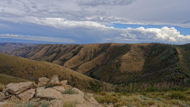
This road serves is a scenic out-and-back over Twelve Hundred Dollar Ridge, with the overlooks near Strawberry Peak as the main draw, since it dead-ends short of where older maps show it continuing. Along the way it crosses a gate, which should be closed after passing through as posted.
Rated Easy, typically suitable for high clearance 2WD, the climb poses no trouble for stock vehicles aside from one tight, rocky stretch partway up the ridge where careful tire placement pays off. Full-size trucks handle the grades fine but should watch for oncoming traffic on the narrow, one-vehicle-wide sections above the camping bench.
One dispersed camping spot sits along the ridge, large enough for two rigs or a rig and a trailer. It's out in the open with no shade but offers some privacy, and it lies on private land, so drivers should confirm access before setting up camp there.
Updated: 10/15/2024
D2855
Crescent Junction, Utah
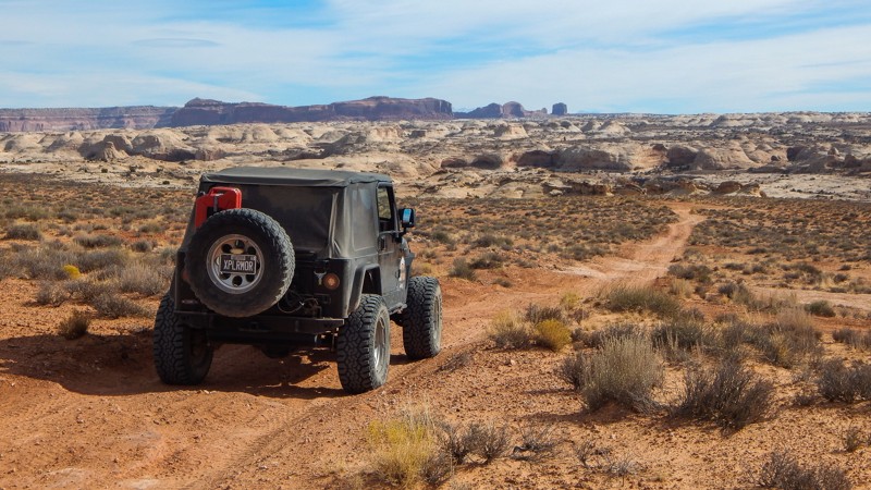
D2855 is a short connector trail with beautiful views as you drive toward Tenmile Canyon. The trail meets with the two main crossover 4x4 trails used to access several other scenic routes. The trail mixes soft sand with whoops and a short stretch of rocky steps leading to the trail end. There is no camping along the route. Camping can be found along 10 Mile Point.
Updated: 10/15/2024
BLM 1097
Woodside, Utah
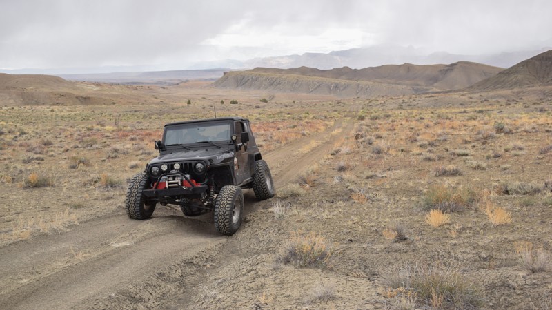
Traveling along the barren western edge of The San Rafael Swell, trail 1097 is a rollercoaster ride between two access trails. The trail navigates between two ridgelines where deep runoff ruts in the soft dirt have created trenches you must climb up and down. The approach angles are steep and not advised for large overland-type vehicles or trailers. There is abundant camping at the southern trailhead.
Updated: 10/15/2024
South Cedar Mountain Road
Dugway, Utah
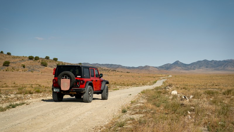
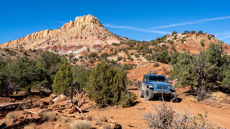
Running along the base of the Cedar Mountains, South Cedar Mountain Road is an easy, non-technical dirt road connecting the main Cedar Mountain Road to White Rock. This is an uneventful trail, with the hardest part being the small blind bends crossing occasional dry washes. Although this trail is on BLM land, no camping is observed.
Updated: 12/18/2024
Prospect
Boulder, Utah
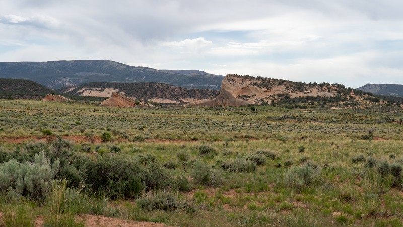
Jogging south off Lampstand Road is BLM 125. This graded dirt road leads back into the juniper and pinyon trees. 2WD vehicles with high ground clearance are more than adequate to complete this trail. Camping is the main reason to travel, with a couple of nice sites tucked away from the more crowded Burr Trail options. Hiking is also available at the trail's end, heading back towards Egg Canyon and Lamanite Arch.
Updated: 10/15/2024
John Evans Road
Vernal, Utah
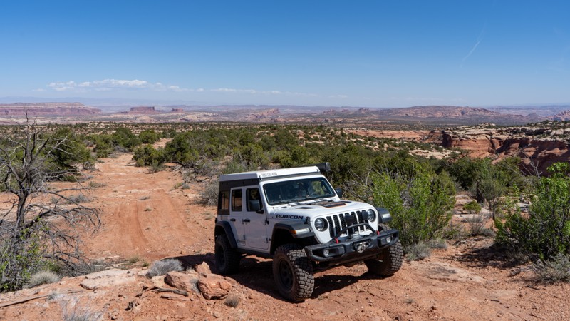
John Evans Road is a maintained road winding through sage and grass-covered sand and red rock. Situated on BLM land, this trail is maintained as it continues onto private land. Please be sure to stick to the provided track (which ends before private property), or any of the spurs on BLM land. There are a number of short spurs that provide peaceful camping among the desert vegetation. All camping opportunities along this road are dispersed, with no amenities offered.
Updated: 05/20/2026
Bull Canyon Overlooks
Moab, Utah
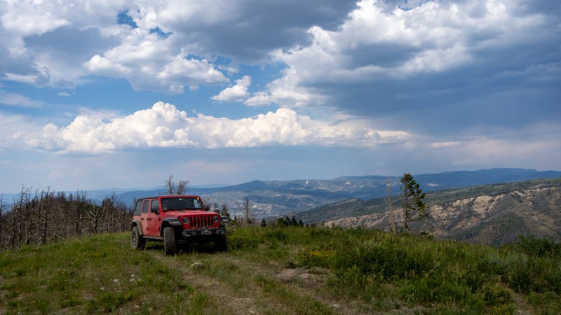
A short out-and-back trail leads to an area known as Bull Canyon Overlooks. The route drops in elevation and includes a few ledges and V-notch erosion obstacles that require higher clearance and 4-low gearing.
At the end of the trail is a large roundabout with a fire ring. This appears to be the only camping opportunity along the route. The views require a short walk from the parking area, but they are worth it, offering expansive overlooks down into Crips Hole.
Updated: 09/10/2026
Terry Ridge
Tucker, Utah
Terry Ridge is a short spur off of Garret Ridge, winding its way downhill through groves of aspens and burn scars. The trail peters out on a hill, providing incredible views of the Manti-La Sal National Forest and even a small glimpse of Highway 6. There are no obstacles, and nothing requiring 4-Low, but higher clearance is recommended. Camping is not found on this trail, but nearby Garret Ridge has a few options.
Updated: 10/15/2024
Grassy Creek Petroglyphs
Woodside, Utah
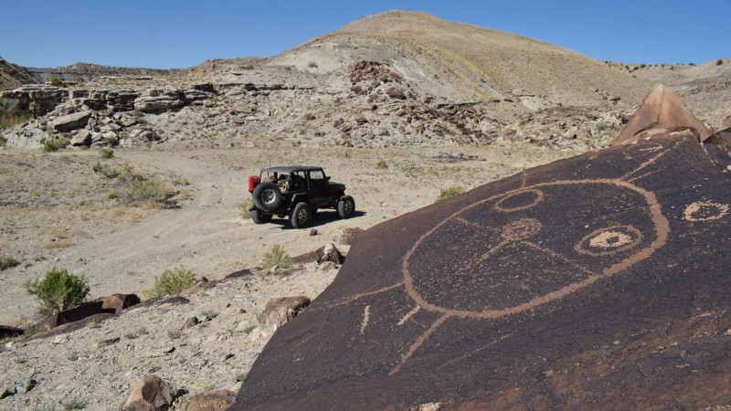
Located along the bank of the Price River, Grassy Creek Petroglyphs are a unique kind of rock art compared to what's typically found in the San Rafael Swell region. Differing from the colorful pictographs on the region's sandstone, these peckings have a creative circular theme throughout the site. Moccasin footprints, turtles, snakes, and other familiar shapes were chipped into the dark faces of numerous boulders on the hillside. The trail getting to the site used to connect to a trail across the Price River, which is now impassable, but you can drive over to the petroglyph site and back out to Cedar Bypass or continue your 4x4 adventure along Grassy Creek. The trail requires 4x4 high clearance and durable tires and is impassable in wet conditions. Please respect the artwork, take only pictures, leave only footprints, and no camping is at the Day Use Site.
Updated: 10/15/2024
Water Hollow
Tucker, Utah
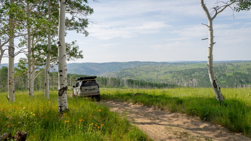
Water Hollow is a picturesque spur off of Bennion Ridge that would be a fantastic side adventure during the fall. The majority of Water Hollow takes you through a substantial aspen grove that is sure to light up with golden colors in the autumn but is still a treat in the summer with its emerald tones. As you come out of the aspen, you'll also see some stellar mountain meadow views. Per the name, Water Hollow sees quite a bit of moisture, which has led to some areas of ruts and dips where vehicles traverse the seasonal mud. Unfortunately, there were no obvious campsites along the trail. You could attempt to camp at the turnaround spot at the end of the trail, but the spot is at a decent angle, making ground tent camping difficult and vehicle camping a chore.
Updated: 05/29/2025
BLM 25H
Dragon, Utah
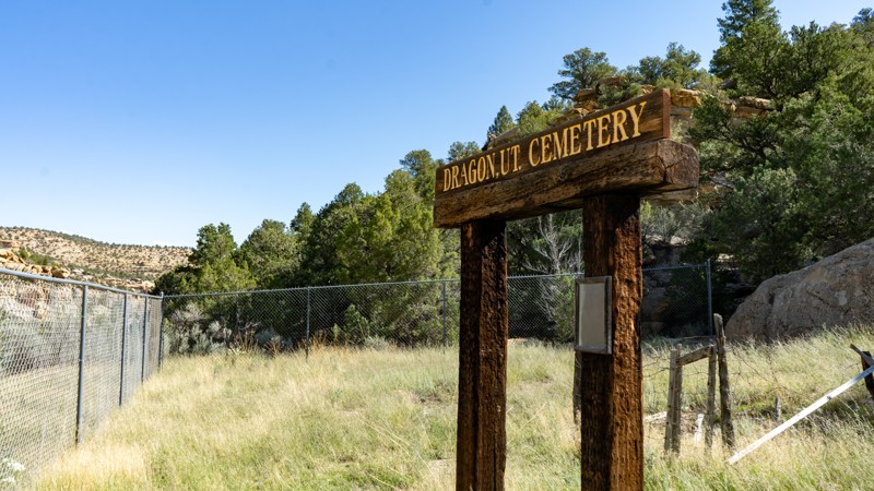
Maps show that this road continues for a long distance, but it does not. It deadends at a gate with a private property/no trespassing sign and at the Dragon Cemetary. The road is entirely on private land, with remnants of an old cabin on the south side of the road. At the cemetery, one gravestone stands with the name of Jaun B. Trujillo and the following inscription: "The last person to be laid to rest in the Black Dragon Grave Yard."
Be very respectful and leave everything as you find it.
Updated: 05/07/2025
Cliff Dwellers Flat
Green River, Utah
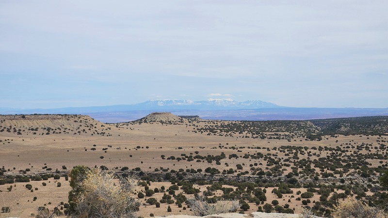
This spur off Arsens Garden Loop leads to two spectacular overlooks, follows an old landing strip, and passes several nice camping opportunities. Turn right off Arsens Garden Loop past a large stock tank and gradually climb to the top of the mesa. At the top, follow the old landing strip for several hundred yards. The only thing that distinguishes the landing strip is the long, straight section of the road. The landing strip appears to be used only rarely but is still listed as an active strip. Near the end of the trail, a spur to the right will take you to the first overlook and several campsites. The last part of the trail crosses Utah State land before ending at the second overlook and several more campsites. Although the trail is easy, wet conditions would make it difficult or impassable.
Updated: 05/01/2026
Delores River Overlook
Dewey, Utah
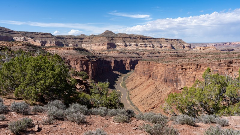
Dolores River Overlook is a rough, minimally maintained BLM D road branching off the easier portion of Rose Garden Hill in the greater Moab/Gateway canyon country. The trail runs about 4.8 miles one way, descending sharply from the start and dropping more than 1,000 feet over the first 1.5 miles before continuing across a slow, bumpy, rocky route toward a remote canyon viewpoint. Expect loose rock, rough embedded terrain, and sustained slow travel. One-way travel takes about 45-60 minutes. High-clearance vehicles are recommended, and 4 Low will likely be needed on the climb back out due to the steep, loose, and rocky grade. The trail ends at a small turnaround near a deep overlook of the Dolores River and Fisher Creek, with the best river view reached by a short walk north from the parking area. Camping is limited, though there is evidence of a campsite near the endpoint. This trail is best suited for drivers looking for a remote, scenic out-and-back with a rugged descent, a demanding return climb, and a quiet canyon overlook payoff.
Updated: 10/09/2025
Water Canyon
Bruin Point, Utah
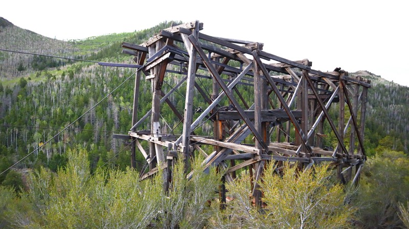
For over 250 miles, the Book Cliffs act as an imposing barrier to what lies beyond. Water Canyon is one of the few roads that lead up to the mysteries above 10,000 feet. Once busy with mining traffic for the nearby 1890s asphalt mine, the trail travels under old mining carts hanging from rusty cables, and dilapidated wooden towers clinging to the mountainside. The trail is a graded dirt track, wide enough for all vehicles equipped with durable tires. The grade to the summit at Bruin Point is steep and loose; it's advised to use a 4x4 to prevent washboards. There are a couple of tight switchbacks, and you will likely encounter weekend traffic along the road. The area is a mix of BLM and private land, particularly the Range Valley Ranch, a private retreat for veterans and their families. Therefore, no camping is found along this trail. However, excellent primitive camping can be found along Dry Canyon.
Part of the Castle Country Trail System, Water Canyon is a short section of the Great Hunt Loop, which leads to the famous Great Hunt petroglyph panel in Nine Mile Canyon. Ideal for families and beginners in stock-type 4x4s, the Great Hunt Loop is a wonderful day trip filled with mountain forests, rugged canyons, and ancient history.
Updated: 10/15/2024
Coal Wash Spur
Moore, Utah
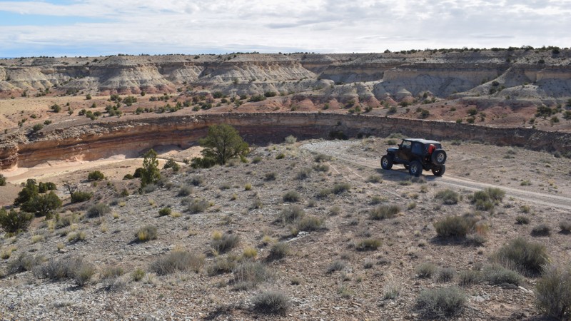
Coal Wash Spur is a short, moderate ledge climb connecting Coal Wash with Wood Hollow. The trail travels along a narrow switchback ledge with room for one vehicle. The dirt and rocks require durable tires and 4x4 low-range. No camping was found along the route.
Updated: 10/15/2024
Cedar Ghost Town
Woodside, Utah
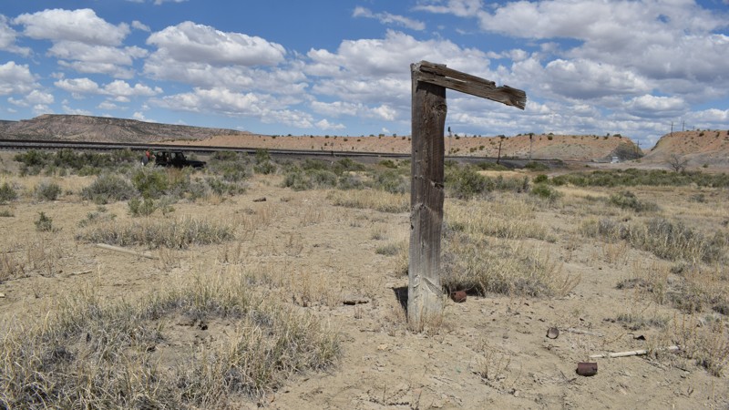
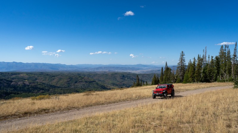
Cedar Ghost Town is for train buffs and campers. Little is known about this shanty town located along the Union Pacific Railroad and the eastern edge of the San Rafael Swell. The Utah desert and The Swell, in particular, have an abundant history of old towns lost to time. The meadow along the tracks is littered with debris that has been burned, buried, and wind-blown for a long time. This short looping road can be traveled in a passenger car with durable tires. One large open camping area on a bluff overlooking the valley and train tracks has several fire rings for an overland group. The bend in the tracks is scenic and a wonderful place to enjoy the busy rail traffic.
Updated: 10/15/2024
Mill Hollow Ridge
Timber Lakes, Utah
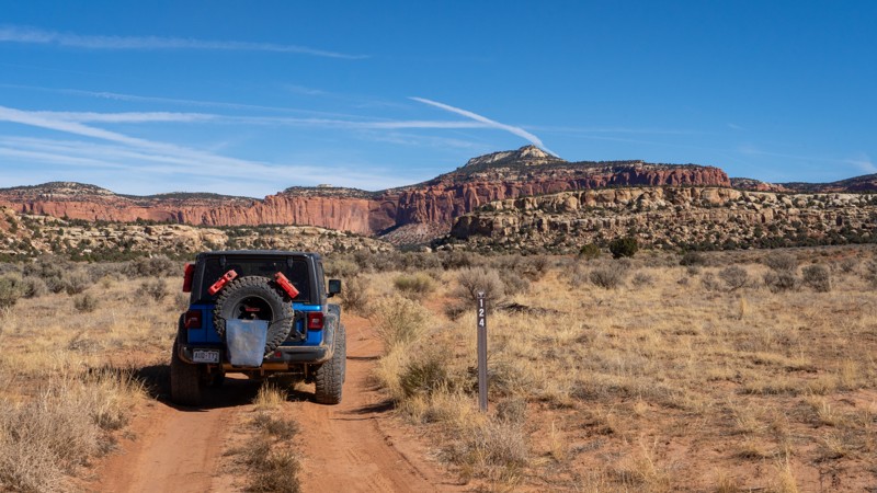
Extending from Mill Hollow along its namesake ridge, Mill Hollow Ridge provides users expansive views of the Heber Valley while ample camping opportunities dot the trail. The trail is not maintained. However, it is relatively easy with hard-packed dirt and small rocks, and any vehicle with decent ground clearance should have no issues. Near its end, Campbell Hollow intersects, providing a nice loop for those seeking more exploration. Camping along this trail is all dispersed, with man-made fire rings dictating predisturbed sites.
Updated: 12/18/2024
124
Boulder, Utah
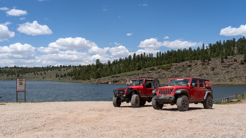
Another camping spur branching off of Lampstand Road, 124 is an easy route to a campsite nestled in a handful of large boulders. The trail crosses a wash and seemingly dead-ends in a sagebrush field, where another, less desirable campsite lies. Impressive views of the Lampstand are had from the entirety of this trail as you drive just north of its shadow. Although not a destination itself, 124 provides relief from the more busy areas of the Burr Trail, offering peace and quiet to those looking to set up camp for the night.
Updated: 08/11/2025
Browne Lake
Manila, Utah
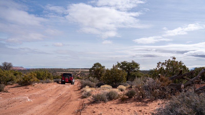
Browne Lake offers a gentle escape into the high country of northeastern Utah, meandering from Birch Creek Road to the peaceful shores of Browne Lake. This easy, out-and-back style drive on well-maintained, graded dirt makes it a solid choice for anyone with a stock vehicle and a thirst for alpine views. Traffic is higher in the summer months due to the popularity of water activities, and during the color change in the fall. It’s a popular route for anglers heading to the lake, hikers looking to jump off onto nearby trails, or weekend campers seeking solitude under tall pines.
Early on, keep your eyes peeled for a couple of dispersed sites tucked among the trees, making for a perfect quick overnight without committing to the developed campground at the end. Once you reach Browne Lake, the payoff is clear: a scenic waterbody framed by forested ridges, with ample room to stretch out, set up camp, or launch a short hike.
Updated: 10/15/2024
D1256
Moab, Utah
D1256 is a quick and easy jumper guiding users from Mineral Point, Waypoint 4, to Mineral Point Road to Spring Canyon Bottom, Waypoint 9. This simple trail has few obstacles, making it suitable for any driver, assuming the difficulty rating of Mineral Point Road to Spring Canyon Bottom is also up your alley. There are a few dispersed camping options directly off this trail.
Updated: 08/11/2025
Kane Hollow
Red Canyon, Utah
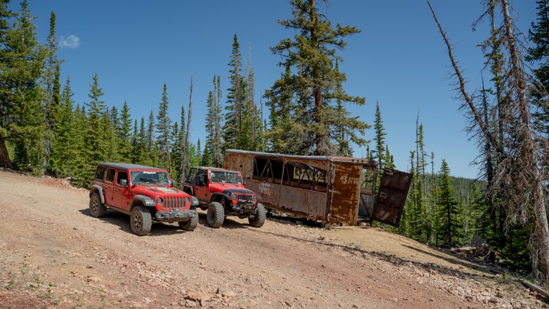
Kane Hollow is a short and easy dirt trail that climbs up Dyer Mountain, finishing at the old site of the Dyer Mine and its lingering remnants. The Dyer Mine operated in the late 1800s as a copper and silver mine in the Carbonate Mining District within the Ashley National Forest. The mine worked in conjunction with a smelter that was built on the other side of the mountain (located at the end of the Anderson Creek trail) to process the copper ore. The standout of the mine site is the large, rusty Rio Grande car that makes for a great photo opportunity, while the surrounding area is filled with tailing piles and smaller pieces of metal equipment.
Although the road continues past the mining site, further travel is not recommended. It becomes very narrow and dead-ends, making turning around difficult, especially for large vehicles.
Dispersed camping is available at the start of the trail off East Park, which can be popular with trailers due to its ease of access. Alternatively, the Kane Hollow Camping Area loop can be found just south of the trailhead.
Updated: 10/15/2024
Grasshopper Comp A&B
Maeser, Utah
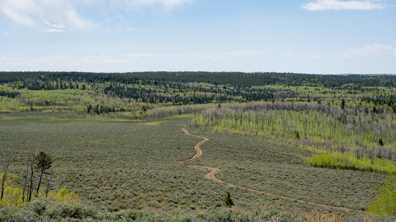
Grasshopper Comp A&B is an easy jumper trail reaching from East Ashley Grasshopper to Red Pine. Although it is not maintained, very few rocky patches are found. The only true "challenge" of this trail is a steep dirt hill that will provide problems only when wet. 2WD will be able to complete the trail, but be sure to air down for extra comfort. Unlike many of the trails in this area, camping is not found.
Updated: 05/07/2025
Red Draw
Green River, Utah
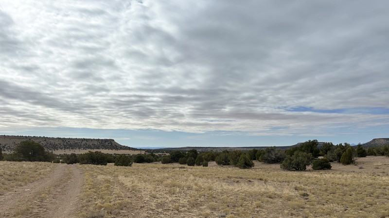
Red Draw is a short, out-and-back spur off Arsens Garden Loop, which provides a beautiful side trip down the scenic valley of its namesake draw, along the foot of Cliff Dwellers Flat, to a small lake. At one time, the trail continued to the border of the wilderness area but was officially closed beyond the lake in 2024 due to a new Travel Management Plan. There are plenty of opportunities for picnics or camping among the junipers that line much of the trail. Pronghorn, deer, and wild burros frequent the area, creating high chances of seeing wildlife. There are also smaller creatures such as rabbits, ground squirrels, and lizards, and, of course, plenty of cows. To reach Red Draw, run the beginning of Arsens Garden Loop. When you emerge from the tunnels under I-70, stay straight instead of turning left. The spur to the right is closed under the new Travel Management Plan.
Updated: 04/10/2026
Sam's Mesa Road
Hanksville, Utah
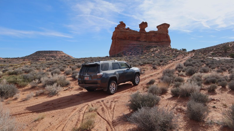
The most challenging of the trails leading into the Dirty Devil Wilderness, Sam's Mesa Road, is a rugged adventure across a Moab-type landscape. Unlike the other trails in the area, Sam's Mesa drops you down, off of the high plateau, among the sandstone cliffs. The area has a Moab feel, even the obstacles are bigger. There are a couple of rocky hills that require low-range 4x4 and extra ground clearance. Rock steps are 6-8" tall and off-chamber on the hills. This trail is not recommended for large camper top vehicles or trailers. Numerous primitive campsites were available, all with different views and terrain.

Upgrade your Membership
Unlock all of the details on every Trail Guide and Scout Route.
Start a 7-day Free TrialBrowse Trails in Utah by City
Browse every Utah city with offroad trail guides.
Community
Partners

