










By clicking "ACCEPT", you agree to be the terms and conditions of each policy linked to above. You also agree to the storing of cookies on your device to facilitate the operation and functionality of our site, enhance and customize your user experience, and to analyze how our site is used.
Utah Off-Road Trails
359
Total Trail Guides 334

4759
Detailed Waypoints 925
Try a Free 7-Day Trial and unlock it all
Start a Free Trial Most Recent Trail Reviews

P
Peaks&Pixels
No Rating
Open
Visited: 09/24/2026
This trail has been graded recently and is now an easy trail.
IE
Ingrid Enyeart
Rated 5/5
Partially Open
Visited: 09/22/2026
The portion of the trail between the fork at 11 and the fork at 13 has two major ledges that have formed going into and out of the wash. Not sure what vehicle could overcome these. So just take the sc...


CI
Christine Irsik
Rated 4/5
Open
Visited: 09/22/2026
We enjoyed this trail and will definitely do it again. Gorgeous views at many points along the trail. We didn’t try The Wall, but everything else was just enough of a challenge for us and nice that m...
LF
Leslie F
No Rating
Open
Visited: 09/22/2026
Drove out here in a thunderstorm after doing dome plateau overlook. Epic camping. peaceful. unparalleled views. trail had two steep rocky sections I used 4wd low but probably didn't need to.

JR
jon ross
No Rating
Open
Visited: 09/21/2026
This is a short 2 mile of so cut off trail. Has a wash out with a by pass half way through.



Earl Neisler
Earl Neisler
Rated 2/5
Open
Visited: 09/21/2026
Pinstripe Alley nonstop for the first 4 miles. INo view to be had until waypoint 7. It was a beautiful view then we turned around. Should’ve read the reviews before we started the trail, because th...
LF
Leslie F
Rated 5/5
Open
Visited: 09/21/2026
This is a highlight for the trip. We stayed at waypoint10 for the night.


Earl Neisler
Rated 4/5
Open
Visited: 09/21/2026
Nice connector. The short out back was the hardest and not that short.


Earl Neisler
Rated 4/5
Open
Visited: 09/21/2026
A well maintained road. Found a nice camp site on the south in.
Earl Neisler

Jesse Martin
Jesse Martin
Rated 5/5
Open
Visited: 09/20/2026
Great area to go camping and gather for family reunions. There are multiple other trails that fork off throughout the trail to explore.

Dustin
Earl Neisler
Rated 5/5
Open
Visited: 09/20/2026
Only did apart due to time. This is 1 I will come back and finish.

Earl Neisler
Rated 3/5
Open
Visited: 09/20/2026
Not much to say it a slow easy. A good connecting trail.
Earl Neisler
No Rating
Open
Visited: 09/20/2026
We started just south of Cottonwood Canyon. We stop and looked but could not fine the rock art. The area was a nice to see all the green.


Earl Neisler
Rated 4/5
Open
Visited: 09/19/2026
Great trail, we drove through waypoints 24-35. Easy ride with a good amount of mud holes with few ruts on the stretch we drove. Would love to complete the whole trail at a later date.
Dustin
Rated 4/5
Open
Visited: 09/19/2026
Fun easy trail. Great way to get out and enjoy a relaxing trail ride to take in nature and see the fall colors.
Dustin
Rated 5/5
Open
Visited: 09/19/2026
Great Trail! The scenery was good with lots of wildlife. The trail was diverse that give drivers the opportunity to use both high and low four wheel drive. Trail has both wide and narrow areas.
Dustin
Rated 5/5
Open
Visited: 09/18/2026
I run this trail every year. Always fun and beautiful views. Fair amount of off camber sections.

Jeff Klaassen
Rated 5/5
Open
Visited: 09/18/2026
This was a good trail. The trail still had so flood damage but was passable. Highly recommended this. Has some all some view. We took 2 day to enjoy the ride and views.


Earl Neisler
No Rating
Open
Visited: 09/16/2026
Very fun, short trail. We did the loop but not Wipeout Hill. The sandy sections were a blast and there were a few ledges and obstacles that probably warrant a 5 but are still a fun challenge. We did i...



Mark Signorelli
Rated 4/5
Open
Visited: 09/15/2026
Ran this one and it's a decent stretch for anyone with a high clearance 4x4. The early sagebrush section had me watching my GPS track closely since the road nearly disappears a few times, but it alway...



Jay North
Official Crew
Rated 4/5
Open
Visited: 09/15/2026
Ran this as a quick add-on while working through the rest of the Red Hills network, and it's a fun one to knock out in under an hour. The wash crossing is the one spot where you actually have to think...


Jay North
Official Crew
Rated 3/5
Open
Visited: 09/15/2026
Ran this one on a dry afternoon and came away satisfied without being blown away. The rocky, rolling grade keeps things interesting without ever feeling out of reach for a stock high clearance rig, th...


Jay North
Official Crew
Rated 4/5
Open
Visited: 09/15/2026
Ran this one on an afternoon when I didn't have time for a full day out, and it delivered more than I expected for a short climb. The hill about a mile in makes you actually think about your line, and...


Jay North
Official Crew
Rated 4/5
Open
Visited: 09/13/2026
Red Peak Road is a short, easy cruise that's mostly smooth dirt with just enough texture to keep it interesting. There's a mild rough patch early on and a slightly rockier stretch past the halfway poi...


Jay North
Official Crew
Rated 2/5
Open
Visited: 09/13/2026
This is an easy, low-key cruise with a short technical bump right in the middle where it ties into the rest of the network, otherwise it is just packed dirt and gravel the whole way. Nothing here dema...


Jay North
Official Crew
Rated 4/5
Open
Visited: 09/13/2026
This one's an easy, mellow cruiser and it shows in how quick it feels behind the wheel. The rocky spots near the start and about two thirds up are barely worth mentioning, just some careful tire place...


Jay North
Official Crew
Rated 5/5
Open
Visited: 09/13/2026
This one's a fun add-on if you're already out in the area, easy enough for most of the way that a stock rig won't break a sweat, with just a couple of hard spots to keep things interesting. The washou...


Jay North
Official Crew
Rated 4/5
Open
Visited: 09/13/2026
A nice view of Kanab. Steepish and possibly slick when muddy. One spot has a small rock shelf. 4x4 recommended.


Ben Ruddell
Official Crew
Rated 3/5
Open
Visited: 09/13/2026
Easy, suitable for high clearance 2WD on a dry day, though four wheel drive earns its keep if the ground's been wet. The ruts along the way are mild and easy to place your tires around, and the two wa...


Jay North
Official Crew
No Rating
Open
Visited: 09/12/2026
Crazy no reviews since I ran it last May. We ran it again this time the whole trail out to the south overlook. It had rained the night before and into the morning. The rock dried up quick but a lot o...



Andrew Hotton
Rated 5/5
Open
Visited: 09/12/2026
Sand dunes. DANGER, you need to know your technique to head in here. It’s easy to misjudge slope and camber and get stuck or worse roll.


Ben Ruddell
Official Crew
Rated 3/5
Open
Visited: 09/12/2026
The section of the trail was rocky and rough - still fairly easy but the rockiest stretch.
WF
Wyatt Frampton
Rated 4/5
Open
Visited: 09/12/2026
This trail checks so, so many of the boxes -- hanging off a cliff, passing within 4" of rocks on BOTH sides at the same time on narrow sections, meaningful obstacles (ledges) where I smacked my hitch ...
IR
Isaac R
Rated 3/5
Open
Visited: 09/12/2026
This is an easy, high clearance 2WD road, easy enough that the drive itself isn't the draw. The shelf road stretch is mild and only about two jeeps wide, so keep an eye out for oncoming traffic, and t...


Jay North
Official Crew
Rated 2/5
Open
Visited: 09/12/2026
This is a mellow, low-stress drive that rewards a relaxed pace more than any technical challenge. Stock high clearance handled every mile without a second thought, and the surface stayed predictable e...


Jay North
Official Crew
Rated 5/5
Open
Visited: 09/11/2026
Great rest quick trail! Perfect for beginners, fun place for a picnic. The entrance and exit terrain to the tunnel changes depending on the weather and use. Very fun and interesting.


Dustin
Rated 4/5
Open
Visited: 09/11/2026
My route didn’t originally include this trail, but one of my crew broke on impossible hill and we had to limp back to civilization. This trail was beautiful and remote. Difficulty wise, no issues on t...



Dewie Jones
Official Crew
Rated 4/5
Open
Visited: 09/10/2026
Way better than I thought it would be. This was simply a connector trail for my unsuccessful (broken Toyota) Blanding to Moab overland trip. The trail is absolutely beautiful, relatively fast access, ...
Dewie Jones
Official Crew
Rated 3/5
Open
Visited: 09/10/2026
Easy enough that I did this road in pitch-black with just headlights (no light bar or anything) on the way to see sunrise from the end of the trail (Hurrah Pass). Really straightforward, just rocky li...
IR
Isaac R
Rated 4/5
Open
Visited: 09/10/2026
Incredibly beautiful road and not really rough at all -- I did a bunch of with fully-inflated tires. I know it's just a connector but honestly I would 100% come out here again to enjoy the views, hang...
IR
Isaac R
Rated 4/5
Temporary Closure
Visited: 09/10/2026
Deep mud around river crossing prevents passage. We came from Goblin Valley side, we were able to cross the river but there was deep mud on south side due to recent rains. Almost got stuck, had to go ...

Thomas A Youngerman
Rated 5/5
Open
Visited: 09/09/2026
Incredible bucket list trail that you must do if you can. DON'T do it in 1 day unless you like rushing it, unfortunately circumstances changed that required us to rush it. It's gorgeous and worth an o...



Sean Allen
Rated 5/5
Open
Visited: 09/09/2026
I built this into our rocklanding/overland route and really enjoyed the adventure. You can tell this isn’t well traveled which added to the experience. With that said, we’re trying to get to Moab from...


Dewie Jones
Official Crew
Thomas A Youngerman
Rated 5/5
Open
Visited: 09/08/2026
Great as always, high rewards in terms of views and nothing crazy in terms of obstacles. Great first trail for someone to do with a great payoff!


Sean Allen
Most Popular

Updated: 10/15/2024
Cedar Mountain Road
Lakeside, Utah
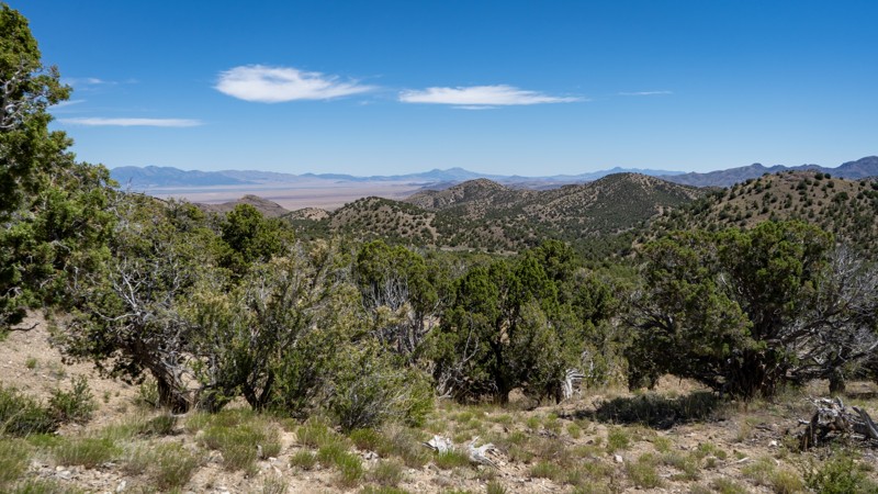
Cedar Mountain Road, surrounding its namesake mountain range, is an easy but occasionally bumpy dirt road that makes nearly a complete loop back to I80. The majority of this trail is packed with dirt and gravel, but a few spots and stretches are prone to small flash floods that come out of the hills, causing random rutting and bumps. Dispersed camping is found in a few select locations on both sides of the mountains, with more camping options located up Hastings Pass.
Updated: 10/15/2024
Nine Mile Wash
Green River, Utah
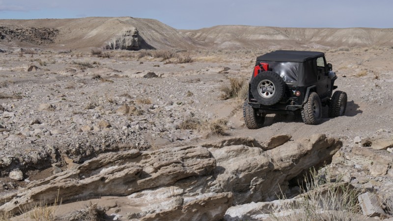
Nine Mile Wash zigzags for almost six miles across this barren desert landscape. When the wash is dry, 99.9% of the time, it's a mix of soft sand and very rocky sections. One minute you're cruising in the wide-open wash; the next, you're trying to decide where to climb a 3-foot vertical ledge. There are multiple optional ledges to play on in the wash. The clustered cottonwoods offer a reprieve from the glaring sun while proving that something can survive in this rugged environment. Camping is nonexistent on this trail.
Updated: 10/15/2024
Poverty Gulch Rim Overlooks
Orderville, Utah
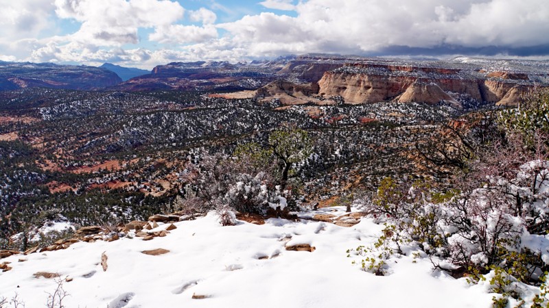
This trail visits two spectacular overlooks on the rim of Poverty Gulch, looking down into Parunweap Canyon toward Poverty Flats, the White Cliffs, and Zion National Park. The road is mostly easy sand in tight trees but is more challenging in snow.
Most of the route is on SITLA land, where camping is technically prohibited but not signed. However, the main (north) overlook is on BLM land where camping is allowed. The viewpoint would make an amazing campsite as long as it's not windy.
Updated: 06/15/2024
Alexander 2
Kamas, Utah
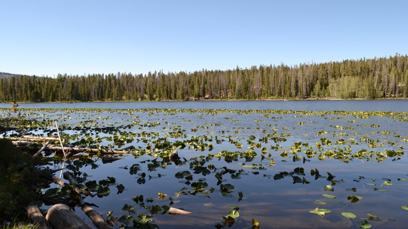
Along the popular Mirror Lake Highway in the Uinta Mountains, you will find endless opportunities for weekend recreation. Alexander Lake is among those popular areas providing all kinds of fun for the family. The area south of the lake has numerous routes to take. Alexander 2 is one of the routes providing access to the lake while offering a few nice camping opportunities. Fishing is also popular on the lake that is stocked with a few species of trout. Be sure to pack up the toys and enjoy some time on the water!
Updated: 11/04/2024
Warner Valley Overlook
Hurricane, Utah
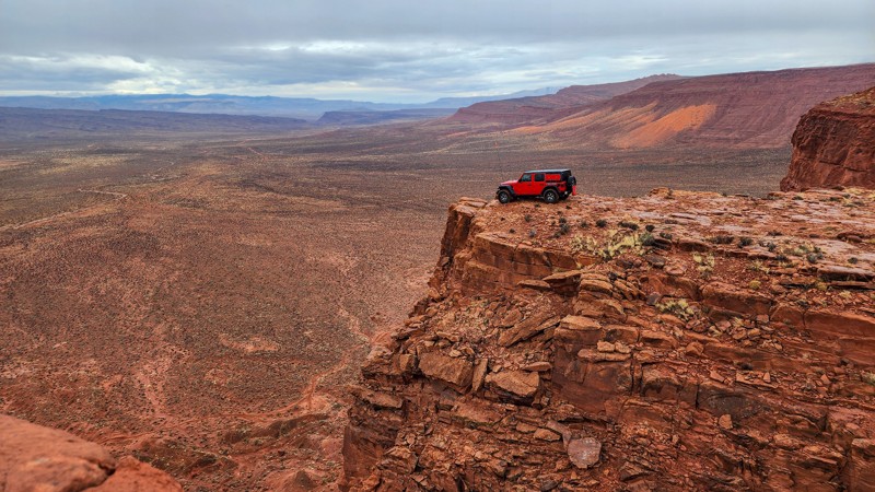
Warner Valley Overlook is an out-and-back spur trail off of East Rim that travels to an incredible cliffside viewpoint high above Warner Valley. This 1.5-mile-long trail treks across rough and rocky terrain and travels over several slickrock ledges around one foot tall. The trail is fairly wide the entire time, but there are two sections along the route where the trail narrows to 1.5 vehicles wide and traverses next to a steep exposed drop. These two sections could cause a little anxiety for drivers or passengers uncomfortable with narrow roads. The viewpoint at the end, where you can see for miles across the Arizona Strip, is well worth the trip. The viewpoint is next to the Queens Court trail, which could be used as an exit route down to Warner Valley. However, drivers would need to traverse two of the most difficult obstacles along Queens Court. Most vehicles will turn around and return the way they came to East Rim. Overall, this trail is suitable for any high clearance 4x4 vehicle. Vehicles on smaller tires or close to stock height should anticipate undercarriage scrappage.
About Sand Mountain
Sand Mountain is an extremely unique parcel of public land. Designated as an Open OHV Area, riders are free to make their own trails. Due to this, many of the long-established named trail routes have several variations that can take easier or more challenging routes through the intended trail. The GPX track for this trail helps you navigate the area, but various lines, bypasses, and additional obstacles may exist along the way. Riders are encouraged to stay on existing trails and not unnecessarily drive over or destroy vegetation.
Fees
Riding on Sand Mountain is entirely free. However, there are multiple entry/exit points for the area, including "the tunnel," which connects Sand Hollow State Park to the open OHV area. Any entry into the boundaries of Sand Hollow State Park requires a Utah State Park Pass.
Requirements
When operating on Sand Mountain, users must attach an orange or red safety flag to the vehicle, rising at least 8 feet off the ground.
Updated: 08/31/2026
Taylor Mountain
Red Canyon, Utah
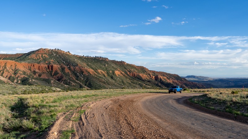
Winding its way up from the Ashley Valley and the city of Vernal, Taylor Mountain is a beautiful and lush, maintained forest road with endless opportunities to explore. As you begin the uphill journey, be sure to look back at the beautiful and prominent Red Mountain behind you before getting lost in the endless aspen and pine trees that the Ashley National Forest offers. Camping is abundant both directly along the trail and down the many spurs. All sites along Taylor Mountain are dispersed, with the exception of Kaler Hollow Campground, located at the north end of the trail. Dispersed sites range in size from personal to large enough for multiple RV's and trailers, usually located in a grassy clearing at the edge of the forest. The campground is improved and free, with designated sites that offer tables and fire rings.
Updated: 05/08/2025
Behind the Rocks Trail Cutoff
Spanish Valley, Utah
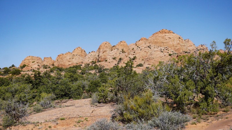
Providing excellent views of the Behind the Rocks Wilderness Study area, this road is an alternate route to Tukuhnikivatz Arch. You can also use it to bypass the Guardian on Behind the Rocks Trail. Comprised of dirt and protruding rock, it is a very rough drive. While being rough, there are no notable obstacles. Camping is prohibited.
Updated: 09/10/2026
BLM 15210
Hanksville, Utah
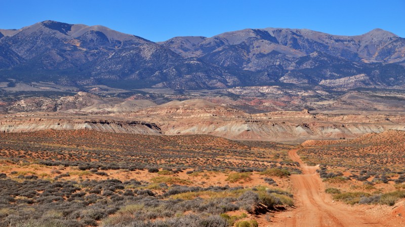
BLM 15210 runs east off Highway 95 past Arsenic Arch trailhead to join with South Turkey Knob near Poison Point. The trail is well maintained to the Arsenic Arch trailhead. Due to steep and deep wash crossings, long-wheel-based vehicles are not recommended past the Arsenic Arch trailhead. Good campsites are located just off Highway 95 and near the hiking trailhead.
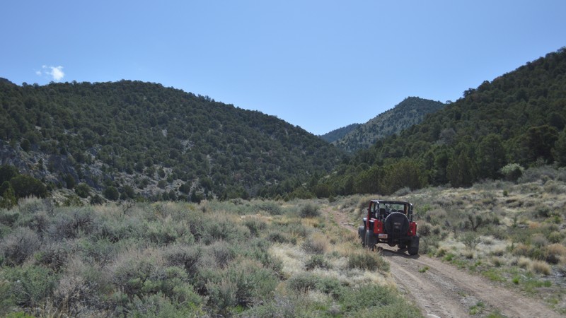
Updated: 09/24/2022
Miners Canyon
Eureka, Utah
Although this trail is relatively easy, it will provide a fun day away from the crowds. The East Tintic Mountains were home to some of the richest silver mines in the west. After a short period of mining, minimal findings combined with no income led to the closure of the mines. This area is very rich in history, from the mines to the Pony Express route. Eureka, the town just south of the mountains, is still a small community with some very cool historical buildings.
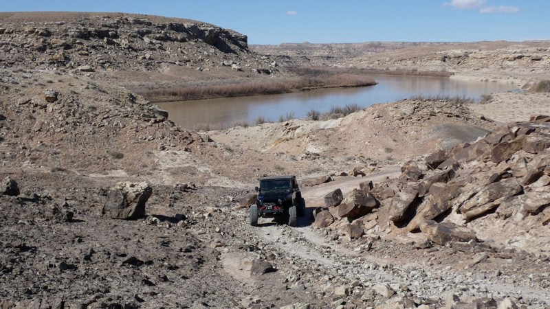
Updated: 03/09/2026
Along The River
Green River, Utah
At the end of Salt Wash North, there is a beautiful 4x4 trail that travels along the banks of the Green River. The trail is ideal for experienced drivers with a high clearance 4x4 and durable off-road tires. The trail has one challenging hill climb with an off-camber rocky ledge at the top. Low range gearing is needed to climb the hill safely. There are a few level open dirt areas where camp can be set up along the river. Please purchase firewood in town; there is no firewood in the desert. The trail is most difficult when driven north to south.
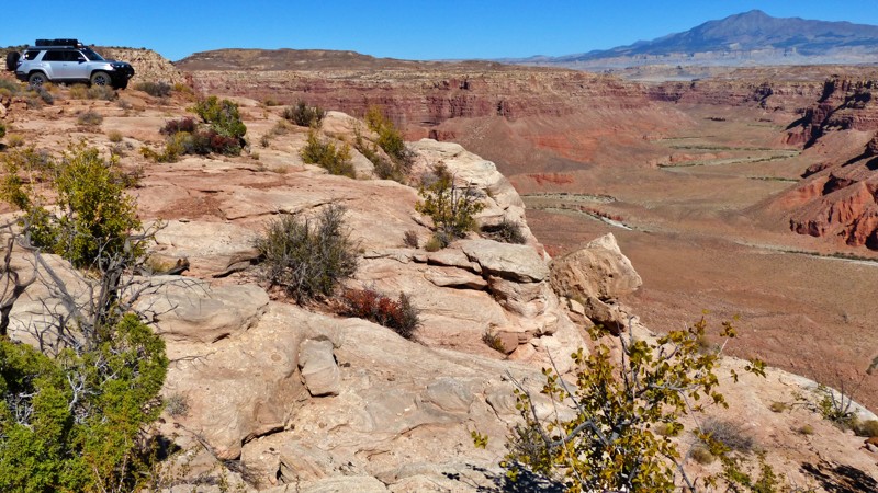
Updated: 10/15/2024
Bullfrog Creek Overlook
Ticaboo, Utah
Bullfrog Creek Overlook is a short, easy, and scenic side trip off the Notom Bullfrog Road. The trail's end provides stunning views of Bullfrog Creek and its multi-hued sandstone canyon a thousand feet below. To the northeast rises the Henry Mountains, the last mountain range added to the US Geological Survey Map and a worthy destination in itself. The overlook is suitable for camping or makes a superb picnic spot.
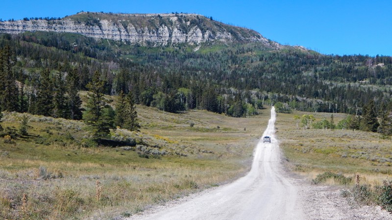
Updated: 08/11/2026
22 Ferron
Ferron, Utah
Split into two sections, 22 Ferron is the Manti-La Sal National Forest access road along the eastern slope of the mountain range. The 22 trail is used to easily crossover between the two small towns, Ferron and Mayfield. The Ferron side begins in the desert at Millsite Reservoir, a wonderful place to camp or swim in the summer. After passing the reservoir, the trail winds through a canyon with the Ferron Creek flowing below before quickly climbing into the forest.
The road is a maintained gravel road but can be bumpy with washboards. There are narrow sections and blind turns, so caution should be used; large campers are often on the road. The entire route can be completed in high clearance 2WD vehicles in dry conditions. The trail is closed during the winter months. A winter gate is at the halfway point up on the mountain.
Plan for extra stops along the way. There are numerous scenic overlooks, lakes, and hiking to distract you from your destination. You'll enjoy flowing creeks and waterfalls along the trail all summer. Fishing in the area lakes is very popular. Camping is abundant along the route. You can choose from free primitive sites in the trees or camp on the edge of a lake at one of the two campgrounds.
Updated: 01/02/2025
North Salt Wash Point
Lawrence, Utah
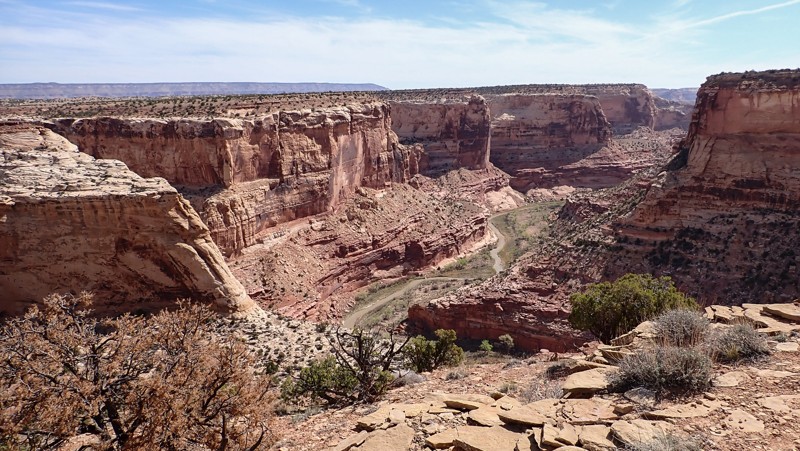
Deep within the San Rafael Swell, the Salt Wash joins the San Rafael River at a scenic remote canyon overlook. This moderate 4x4 trail travels 7.5 miles to a spectacular overlook of this river junction. The rocky and dirt two-track crosses over desert meadows and along the edge of the Little Grand Canyon. The trail requires high clearance and 4x4 for the numerous rocky ledges and soft sand found along the route. Camping is limited to a few campsites along the edge of the cliffs at the end. It's worth the drive if you desire a private camping experience with breathtaking views.
Updated: 10/15/2024
Jurassic Flats
Victor, Utah
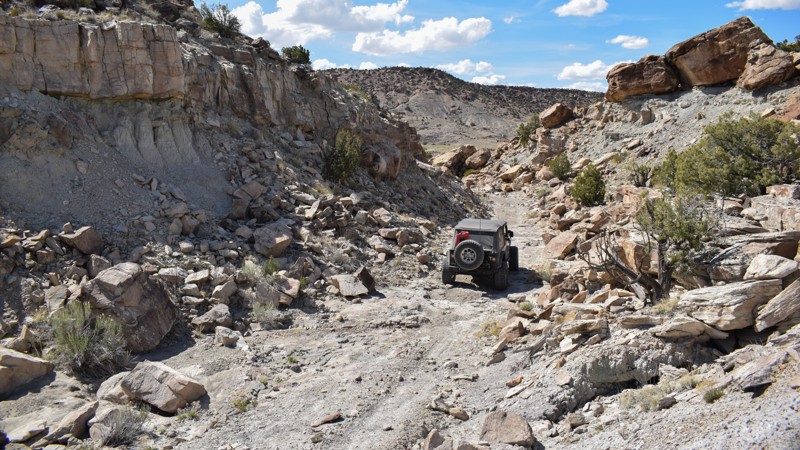
In the far northern region of the San Rafael Swell Recreation Area, Jurassic Flats is a unique, rambling journey across a varied and rugged landscape with a unique beauty and wealth of natural history. Buried under various layers of sediment lies millions of years of bones and other organic surprises. Before traveling to this remote trail, the nearby Jurassic National Monument is an excellent place to begin your journey. Combining the route with Humbug Mountain creates a scenic loop around this colorful landscape.
The trail is ideal for stock to slightly modified vehicles. The trail has a few sections in rocky washes, with the big boulders cleared out of the way, but things can always change. Low-range 4x4, high-clearance, and durable offroad-type tires are required. The western portion is wide-open prairies along old fences, while the eastern portion is in the rocky canyons. Camping can be found near the western trailhead in the boulders along the Humbug Mountain trail.
Updated: 10/15/2024
Gandy Road
Trout Creek, Utah
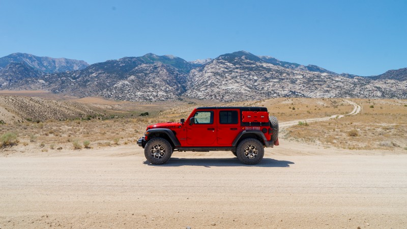
Gandy Road is also known as Snake Valley Road, depending on whether you are traveling within Juab or Millard County. This route offers a 60-mile gravel access road running along the Utah/Nevada border from Highway 50 north up to the Weis Highway. As it's a local traffic county road, camping is not located immediately off the road, but lesser-used Bureau of Land Management roads that spur off may have camping areas available.
At the southern end of Gandy Road, you are within eyesight of the Border Inn, which has a gas station, EV charge station, and small general store.
Updated: 10/15/2024
Long Valley
Thompson Springs, Utah
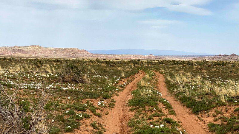
Traveling through what is known as Long Valley, this road runs somewhat parallel with the northern border of Arches National Park, separated by less than a mile at one point. Mostly a two-track with plenty of little dips, the driving is exciting, and the scenery is spectacular. White rock with juniper growing forth, patches of red rock, mining ruins, and ancient Native American pictographs provide sensory overload. There are a few good campsites.
Updated: 08/11/2026
Holmes Creek
Fruit Heights, Utah
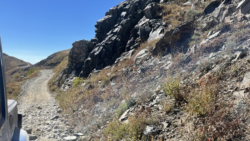
The first section of Holmes Creek is a one-lane rocky road across the face of the hill. There are several blind corners, so use caution and pullout where available. When you get to the road Y, stay left to remain on Holmes Creek.
There are no campsites on this road, but connecting trails have dispersed campsites.
Updated: 03/11/2025
East Fenceline
Hurricane, Utah
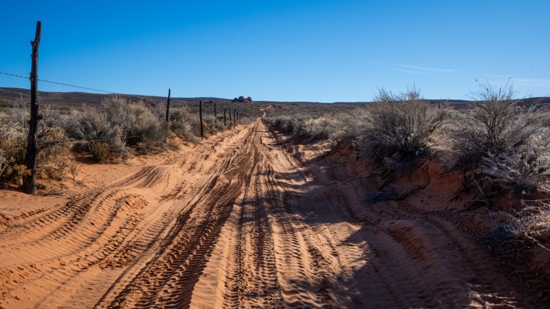
East Fenceline is both a sandy and rocky connector road along the eastern fenceline, as the name suggests. It is a straight-through trail connecting Lakeside and Sand Dune Way, used primarliy for accessing numerous trails on the east side of Sand Mountain, including The Fallen and Razzle Dazzle. The northeast end of the track is also considered the start of the Bzzackwards trail and starts as an easy, sandy trail with a lot of whoop-de-doos. As the trail turns west, it becomes more moderate and transitions to sections of chunky slickrock that will keep your speeds a bit lower and often test belly clearance. The westernmost stretch of trail between Sand Dune Way and The Fallen offers a few slickrock descents and transitions back into easy soft sand. This trail is suitable for any aired down, high clearance 4WD vehicle.
About Sand Mountain
Sand Mountain is an extremely unique parcel of public land. Designated as an Open OHV Area, riders are free to make their own trails. Due to this, many of the long-established named trail routes have several variations that can take easier or more challenging routes through the intended trail. The GPX track for this trail helps you navigate the area, but various lines, bypasses, and additional obstacles may exist along the way. Riders are encouraged to stay on existing trails and not unnecessarily drive over or destroy vegetation.
Fees
Riding on Sand Mountain is entirely free. However, there are multiple entry/exit points for the area, including "the tunnel," which connects Sand Hollow State Park to the open OHV area. Any entry into the boundaries of Sand Hollow State Park requires a Utah State Park Pass.
Requirements
When operating on Sand Mountain, users must attach an orange or red safety flag to the vehicle, rising at least 8 feet off the ground.
Updated: 07/03/2026
Smoky Hollow
Big Water, Utah
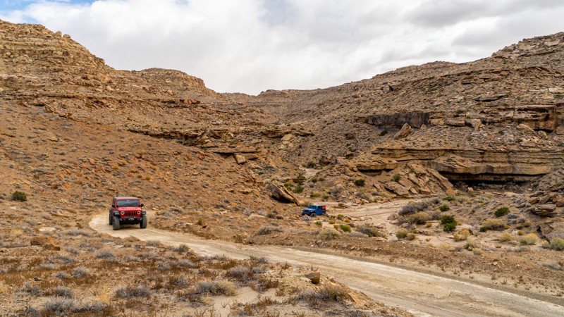
If peace and serenity are your thing, then look no further than Smoky Hollow. This trail acts as an alternate route through the mountains surrounding Smoky Mountain, the well-known feature of this area. Along the trail, you may encounter occasional washouts, as this trail does travel in a wash, but there is nothing a stock 2WD high clearance vehicle can't handle. Aside from the washouts, occasional patches of sand, possible sticky mud, and a steep climb at the end are also offered along this journey. Camping is surprisingly limited and only offered at the intersection with Tibbet Canyon (in the form of an open pullout) or at the northern end intersecting with Smoky Mountain Road. All sites are dispersed with no amenities.
Updated: 10/15/2024
Inchworm Arch
Canyon Point, Utah
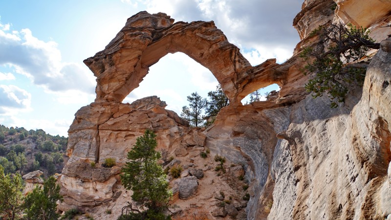
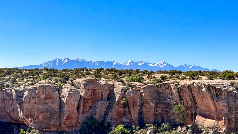
This easy and scenic trail leads to Inchworm Arch, an interesting natural arch in Grand Staircase Escalante National Monument. Even though it has been regularly used for decades, the last few miles of this route were technically closed by the original Grand Staircase management plan but were reopened by the new management plan adopted in 2020. The BLM has since re-routed part of the trail and installed directional signs marking it as an authorized motorized route.
To get to the start of the trail, take the Nephi Pasture Road, starting at a small staging area off Johnson Canyon Road. This easy dirt road winds up into the hills above Johnson Canyon and gradually gets rougher as you go along. The Inchworm Arch trail proper begins with a right turn onto a sandy double-track in Snake Canyon. There are a couple of intersections where you must turn to stay on the trail, with signs directing you to Inchworm Arch.
At the final intersection, you turn right to go to Inchworm Arch. Going straight continues on K3345, which is not technically legal under the GSENM travel plan but is not blocked or signed as closed and appears to be regularly driven. From this intersection, the trail winds through juniper forest until ending at a parking area at the rim of a small canyon. You can walk a few hundred yards down a social trail from this parking area to several different viewpoints of Inchworm Arch itself. You can proceed out either the way you came or else follow other roads in the trail network deeper into the monument.
Camping is allowed in the area, though no established campsites are along this trail. All backcountry camping in Grand Staircase Escalante National Monument requires a permit.
Updated: 10/15/2024
Pipeline Road to Cordova Canyon
Dewey, Utah
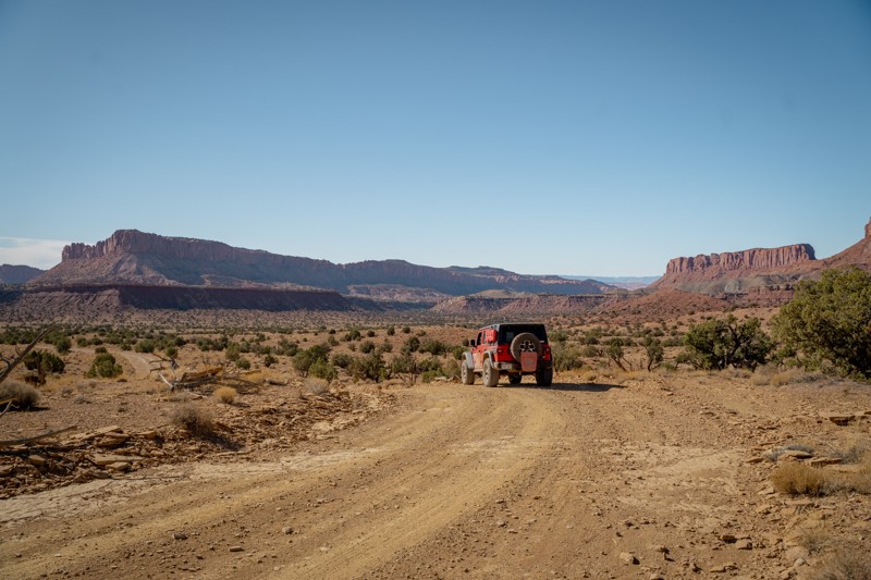
Hard-packed dirt gives way to deep soft sand that gives way to protruding rock. This short out and back road ends right at the edge of Arches National Park with great views down into Cordova Canyon. An unsightly gas compressor station and natural gas line markers lead the way. Be wary of the short stretch of deep sand after windstorms. One potential camp location at the beginning of the trail.
Updated: 03/11/2025
Moody Creek Road
Boulder, Utah
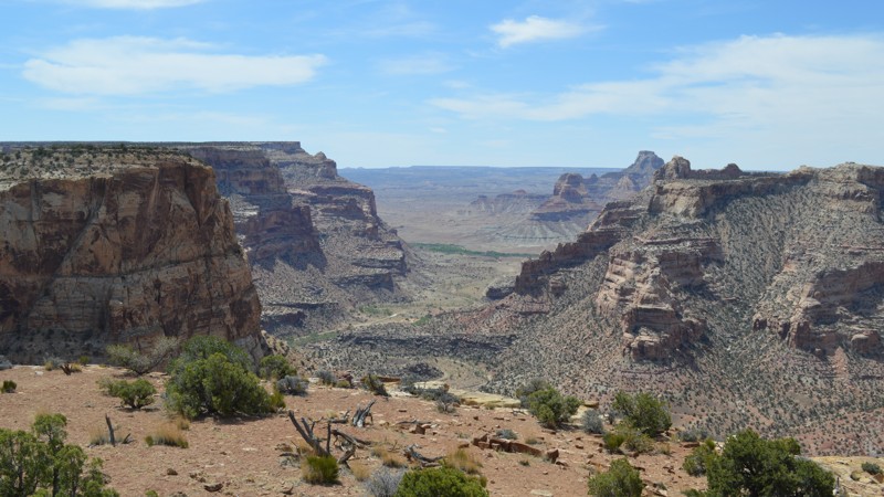
Across its nearly 20-mile stretch, Moody Creek Road offers quite a few experiences. Beginning as a well-used dirt road within the Grand Staircase Escalante National Monument, the landscape is quintessential southern Utah, with towering red rock plateaus in most directions. As the trail works its way south, you will snake between the bases of Colt and Horse Pasture Mesas, where the trail narrows using a wash area to travel the canyons. You may notice a signage shift as you cross from the national monument over to Glen Canyon National Recreation Area lands. The first 14 miles of trail are traversable by high-clearance 2WD vehicles in dry conditions. Should you choose to push on, the final 3 miles of the trail make a bump in difficulty as conditions quickly shift to that of a true 'Jeep trail' with large ruts, rocky ledges, and steep climbs. The bumpy trek finally ends atop Four Mile Bench at the base of very colorful purple hills with stunning views of the surrounding rock formations.
Dispersed campsites are mostly limited to one just before the Silver Falls spur, a couple nested along the base of Colt Mesa (after the gate and coral), and one more along the final 3-mile stretch towards the purple hills.
If you plan to overnight camp within Grand Staircase - Escalante National Monument, be sure to obtain a Backcountry Permit at the Escalante Interagency Visitor Center or in most of the trail register boxes at hiking trailheads. Backcountry Permits for overnight stays are free and assist the BLM (Bureau of Land Management) with tracking public land use and can also assist with emergency response efforts. Day use does not require a backcountry permit, but please sign the trail register.
Updated: 10/15/2024
Calf Canyon Overlook
Woodside, Utah
One of the few maintained roads, Calf Canyon Overlook, is a quick drive over to impressive views of Buckhorn Wash and one of its offshoots, Calf Canyon. Once you hit the first overlook, the trail is not graded anymore. However, it is still lightly maintained and very easy. The second overlook is well worth your time to check out. If camping is your thing, this trail also deserves special note as there are many options, from right off of Green River Cutoff to both of the overlooks.

Updated: 06/15/2024
Alexander 1
Kamas, Utah
Along the popular Mirror Lake Highway in the Uinta Mountains, you will find endless opportunities for weekend recreation. Alexander Lake is among those popular areas providing all kinds of fun for the family. The area south of the lake has numerous routes to take. Alexander 1 is a fun little trail, leading you near the lake, and also providing some great camping opportunities at the end. You will likely hear the life around the lake, as it is popular for camping, but the sites are quite nice for small to medium-sized groups, with a short walk to the lake.

Upgrade your Membership
Unlock all of the details on every Trail Guide and Scout Route.
Start a 7-day Free TrialBrowse Trails in Utah by City
Browse every Utah city with offroad trail guides.
Community
Partners

