Region

Rim Country - The Mogollon Rim

Arizona

Offroad Trails in Rim Country - The Mogollon Rim

A Region within Arizona
4.2/5 (420)

Overlanding Arizona: Top Trails Near Phoenix on the Mogollon Rim

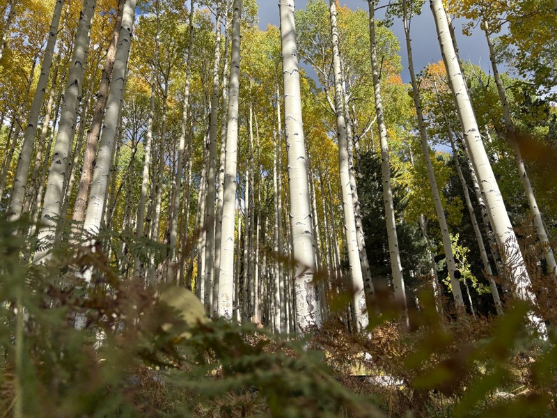
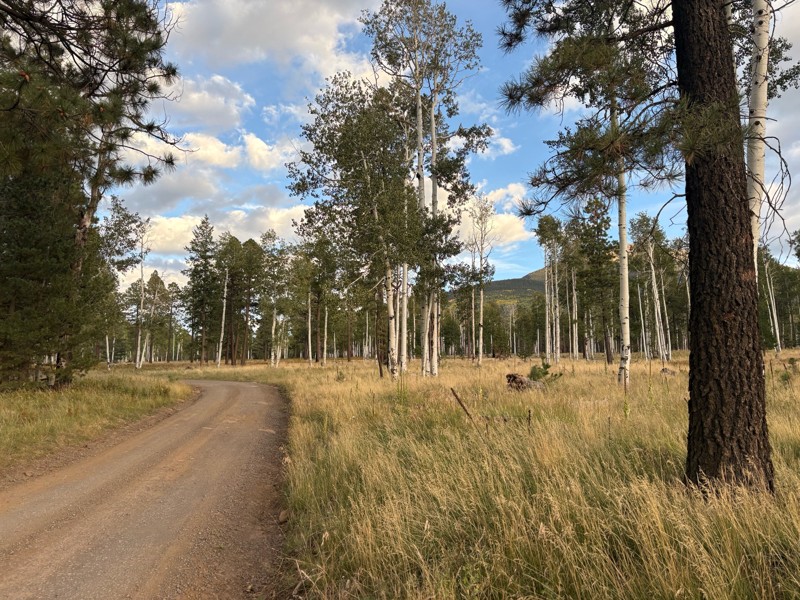
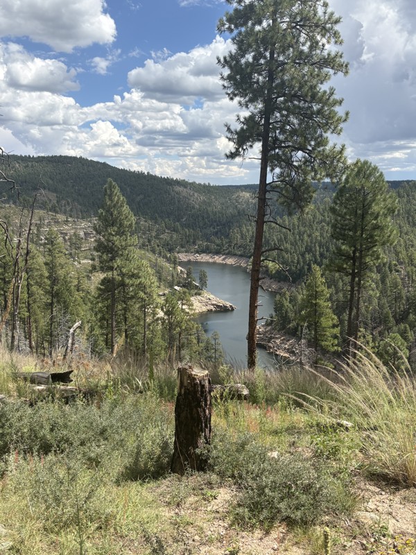
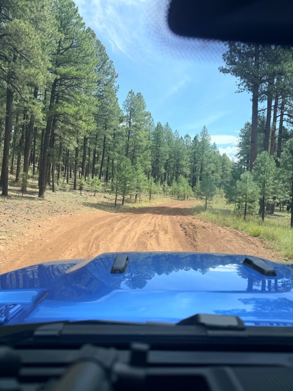
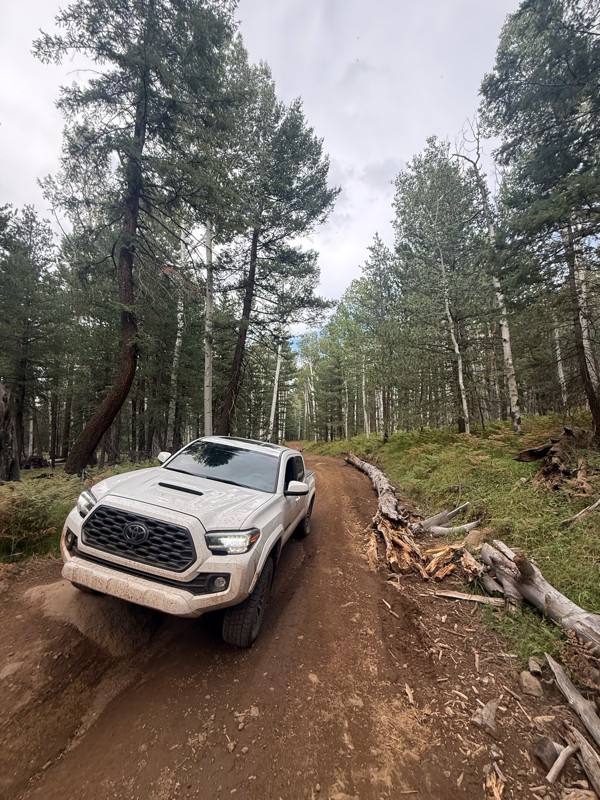
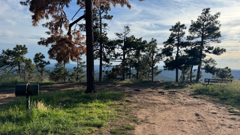
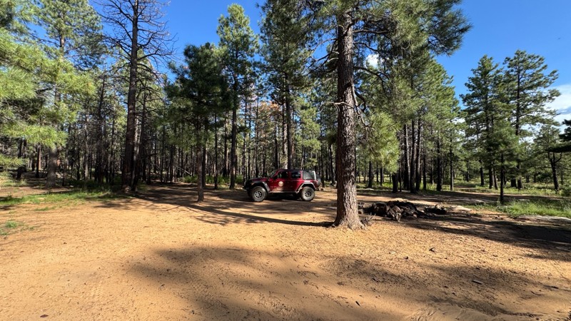
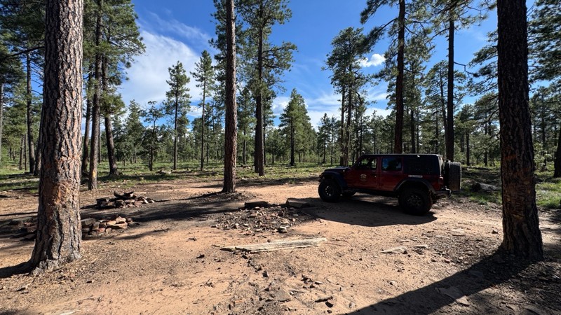
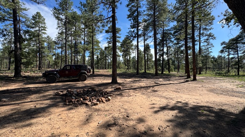
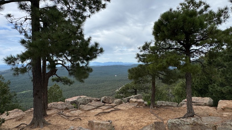
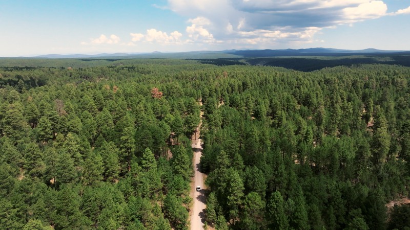
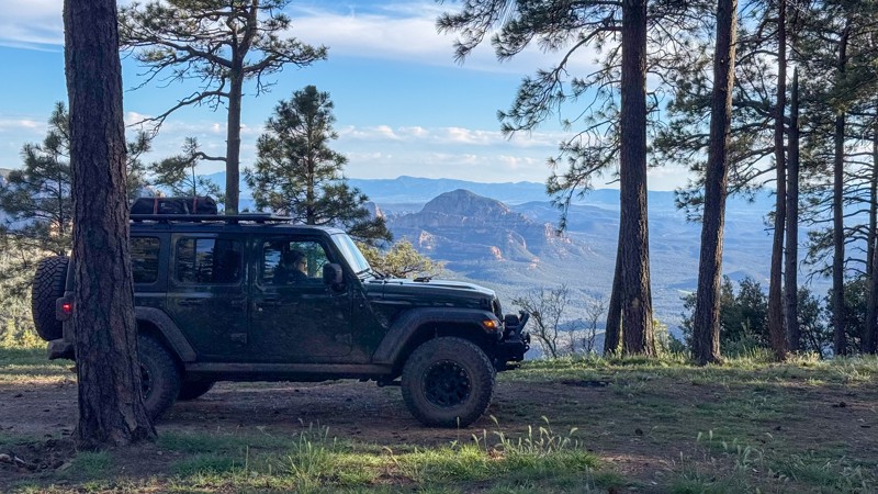
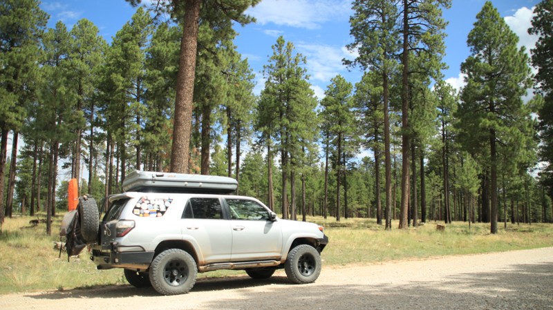
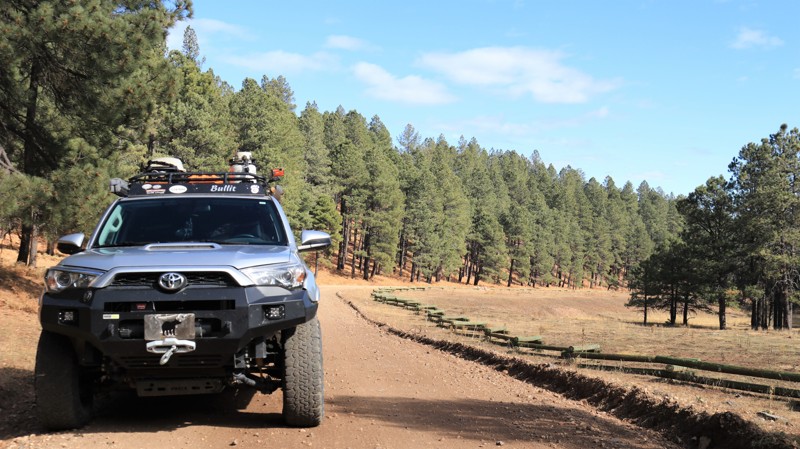
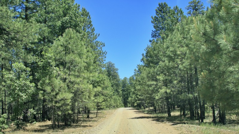
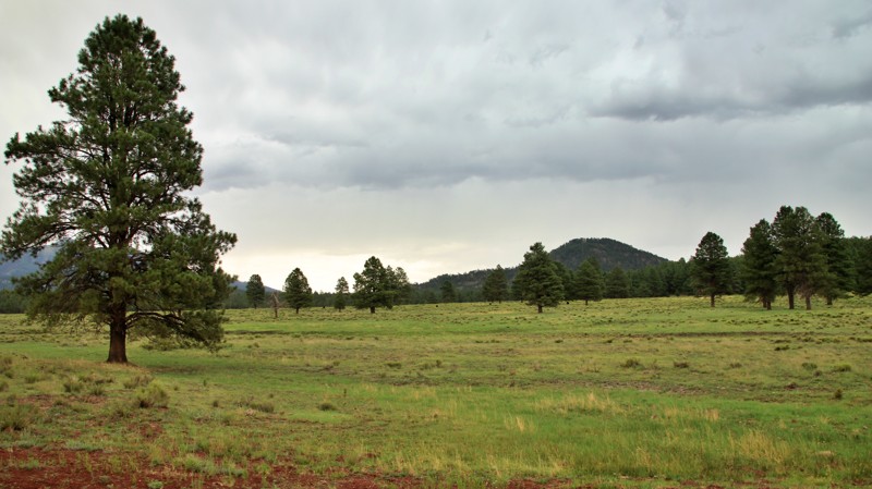
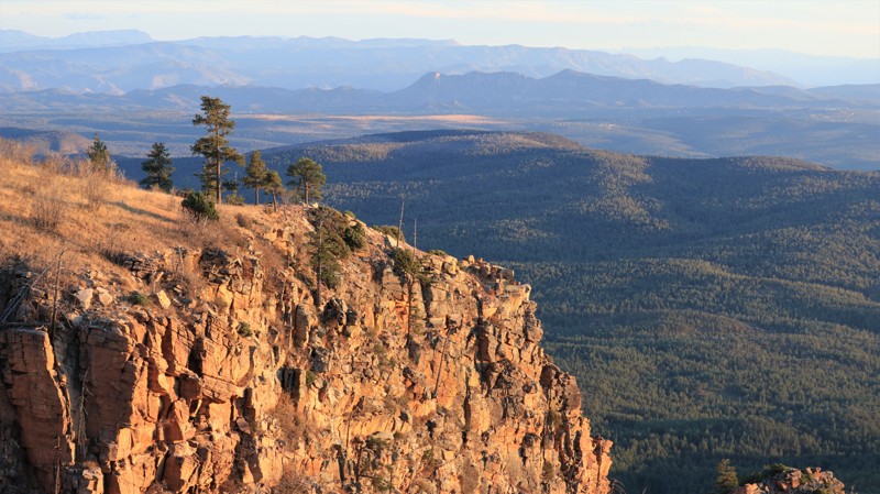
If you're looking to escape the desert heat, the Mogollon Rim (pronounced "MUG-ee-yon") is the perfect retreat for anyone living in the Phoenix metro area. Just a few hours north, this high-elevation destination offers cooler temperatures, stunning views, and access to the largest contiguous Ponderosa pine canopy in the world—ideal for unforgettable overlanding adventures in Arizona.

Explore the Best Overlanding Trails on the Mogollon Rim

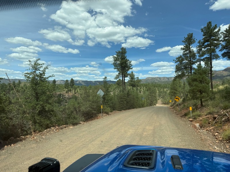
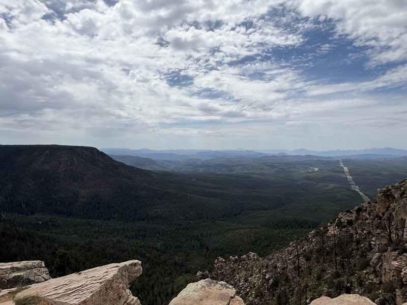
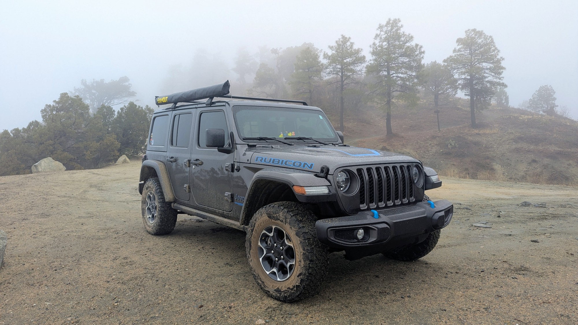
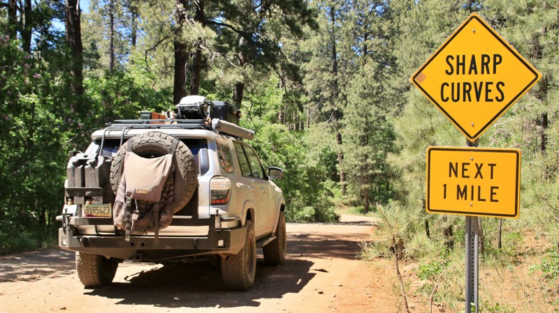
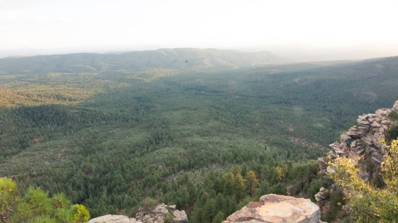
The Rim is a natural wonder stretching across central Arizona, known for its towering cliffs, deep forests, and endless trail options. Whether you're in a rugged 4x4 or a fully outfitted overlanding rig, these are the top three overlanding trails near Phoenix:

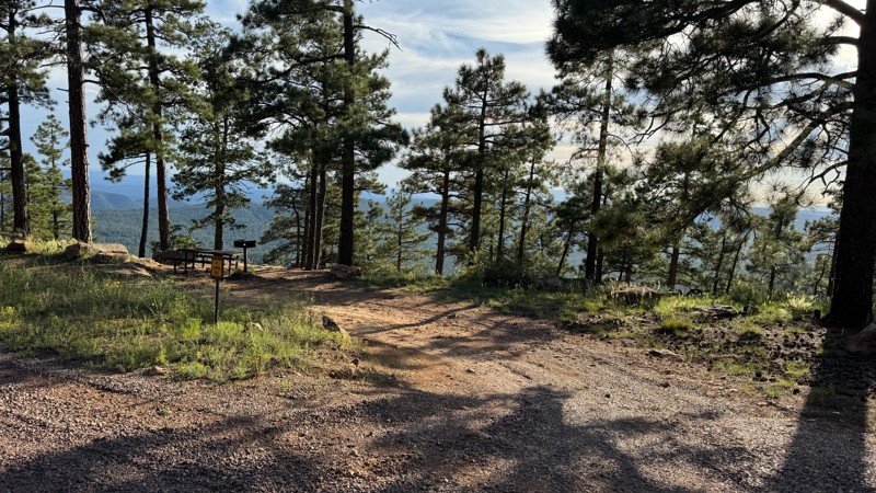
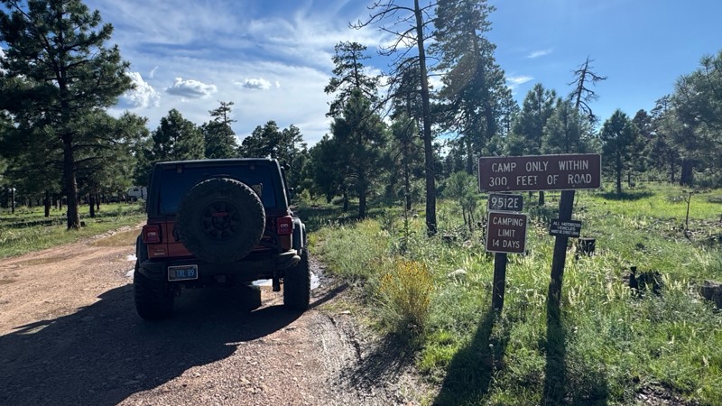
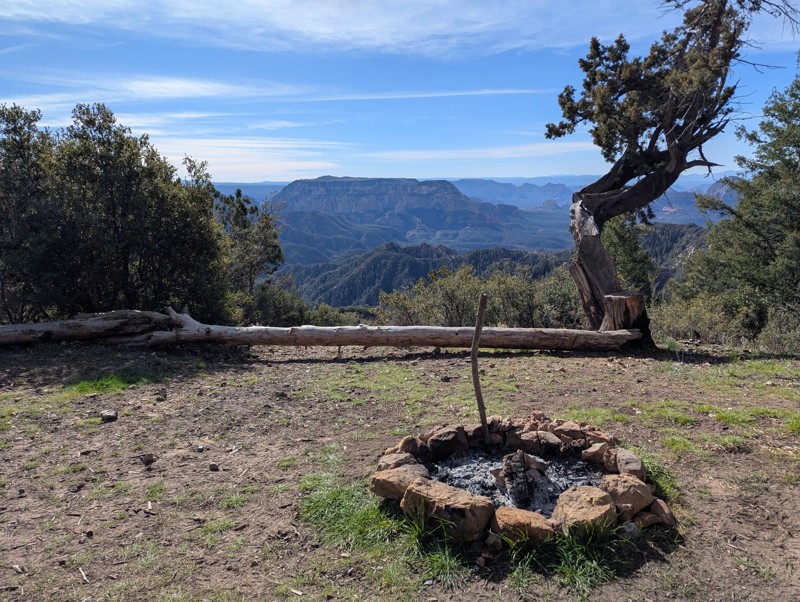
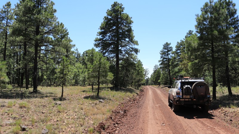
  1. Rim Road (Forest Road 300) One of Arizona’s most scenic drives, Rim Road hugs the edge of the Mogollon Rim for nearly 50 miles. This gravel road offers panoramic views, abundant wildlife, and countless dispersed camping opportunities—all surrounded by towering pines.

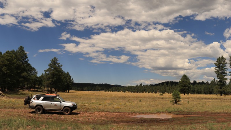
  2. FR 153A For a more remote adventure, Forest Road 153A offers a rugged, off-the-beaten-path experience. It winds through meadows and dense forest, perfect for those seeking solitude and a challenge. High-clearance vehicles are recommended.

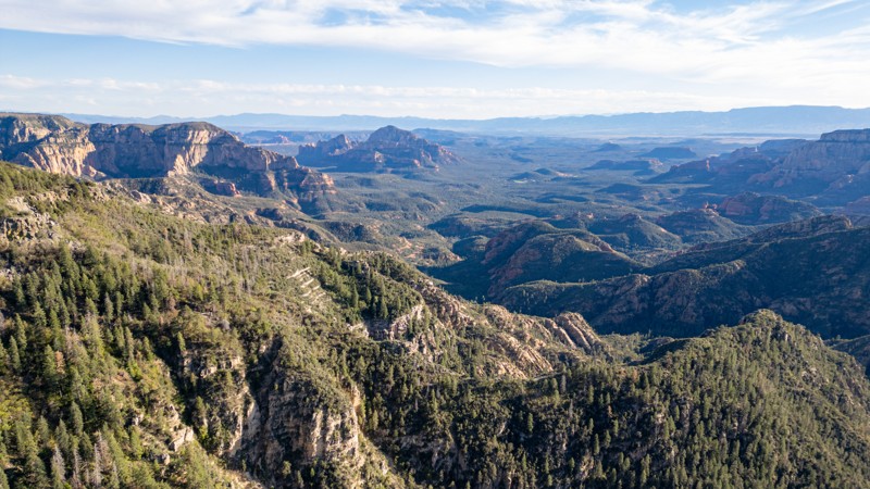
  3. Sycamore Point A short drive off the main routes, Sycamore Point rewards you with sweeping views of Sycamore Canyon—Arizona’s hidden gem. It’s a favorite for sunsets, photography, and quiet reflection.

Plan Your Rim Country Overlanding Adventure

Do not feel limited to just the popular roads and trails. In fact, there are over 900 miles and 80 trails that we have documented, and hundreds of miles of forest service roads left to be explored. You could even overland from Phoenix to Flagstaff if you wanted to! Whether escaping for a weekend or building a longer trip, the Mogollon Rim delivers memorable scenery and ideal overlanding conditions. Before heading out, be sure to check for current fire restrictions and practice Leave No Trace principles. It’s a must-visit for Arizona adventurers looking to trade pavement for pine-scented trails.

Top Reasons to Explore Here

Basemaps
Go All-Access to Unlock


TRAILS OFFROAD™ TRAIL TYPES
Trail Guide
Full detailed write up with Advanced Rating System, Waypoints, Video, and more.
Scout Route
Lite version with highlights, camping, and hardest part documented. Vetted in person.
TRAIL DIFFICULTY RATINGS
easy (1-2)
Suitable for high clearance 2WD
moderate (3-4)
Best suited for a high clearance 4x4
difficult (5-6)
Best suited for a lightly modified 4x4
severe (7-8)
Best suited for a highly modified 4x4
extreme (9-10)
Best suited for specialized buggy type vehicles
LAYERS

Most Recent Trail Reviews

Most Popular

Search for Trails
Arizona: FR 616 Hero Photo
All-Access Icon
4/5 (4 reviews)
Updated: 06/05/2022

FR 616

Payson, Arizona

In 1936 the Civilian Conservation Corps (CCC) established a work camp above Pivot Rock Canyon. Company 863, mostly young men from back east, spent summers there building roads, fire lookout towers, and numerous other construction projects. They also helped fight forest fires. CCC volunteers were paid $30 per month, but $25 of that had to be sent back home to support their families. This was, of course, during the Great Depression of the 1930s. The Pivot Rock camp was abandoned in 1941 as World War II loomed and manpower was needed elsewhere. The remnants of the camp, a few concrete foundations and slabs, still sit beside FR 616. Now, just as then, FR 616 is all about camping. The easily traveled trail, which largely parallels Pivot Rock Canyon, is dotted with campsites large and small. The old CCC camp is a favorite, and most summer weekends find plenty of RVs and toy haulers scattered in the wide-open areas under the towering Ponderosa pines. Many campsites are perched above Pivot Rock Canyon, which is named after a unique rock formation at the canyon bottom. The campsites of FR 616 are a great jumping-off point for exploring the vast and beautiful Coconino National Forest. The higher elevation makes this a great area for escaping the summer desert heat below.

Arizona: Buck Springs Hero Photo
All-Access Icon
4.5/5 (7 reviews)
Updated: 09/22/2023

Buck Springs

Pine, Arizona

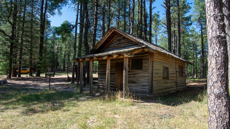
In 1923 a rancher by the name of R. Pyle built a small cabin on the edge of a bucolically beautiful alpine meadow with several wonderfully reliable springs. The springs became known as Buck Springs. Later the fledgling Forest Service built a cabin and then another to house fireguards during the summer fire season. The Buck Springs Fire Guard station was the most remote of a network of such cabins. Today two of the three historic Buck Springs cabins still stand in the tall pines along the peacefully serene meadow. The land around Buck Springs is now a part of the vast Coconino National Forest that spans 1.856 million acres in northern Arizona's high country. Buck Springs Road, FR 161, is located in the easternmost portion of the Coconino. The road offers an easy way to visit the remote cabins and take a stroll around the meadow while listening to the wind sing in the tops of the tall Ponderosa pines, possibly interrupted by the bugle of a nearby bull elk. Buck Springs Road travels deeper into a seldom-visited part of the vast and ancient forest. The forest floor is often clear of underbrush, carpeted with pine straw, and seemingly begging you to abandon your rig and just go exploring. Spacious campsites sit along the edge of Buck Springs Canyon or tucked up on short spur trails. If you are looking for a little trip that combines history and beauty with a completely relaxing environment, Buck Springs may be just what you seek.

Arizona: Deer Lake Hero Photo
Scout Route Icon
4/5 (1 reviews)
Updated: 10/15/2024

Deer Lake

Christopher Creek, Arizona
Deer Lake passes through park-like Ponderosa Pine woodlands in the Sitgreaves National Forest. The trail connects Rim Road in the south to Heber Mormon Crossing in the north. The trail's southern end is part of the Rim Lakes Recreation Area, where camping is only allowed in numbered campsites. As the trail goes north, other camping opportunities abound, and the landscape slowly morphs into a juniper grassland.
Arizona: FR 147 Hero Photo
All-Access Icon
3.7/5 (5 reviews)
Updated: 06/09/2023

FR 147

Payson, Arizona

The Mogollon Rim is a rugged country cut with deep canyons separated by steep wooded ridges. Roads are often rocky and rough. FR 147 is a winding ribbon of smooth trail that transports you gently into this imposing and inspiring wild landscape. Set in the vast Coconino National Forest, FR 147 runs from Highway 87 to Rim Road, perhaps the most scenic of all trails in central Arizona. Along the way, FR 147 slices through forests of old-growth Ponderosa pines, crosses shallow canyons and draws with names like Cienaga, Poverty Flat, Potato, and Quaking Aspen. On its southern end, the winding trail parallels the headlands of East Clear Creek which gathers invaluable summer monsoon runoff and winter snowmelt for deposit into the deep and blue C.C. Cragin Reservoir. Potato Lake draws the local forest denizens to its shallow shores for a reliable drink. The Rim Country is undeniably as rugged as it is beautiful. Your drive into it should be beautiful too, but it doesn't have to be rough. Enjoy FR 147.

Arizona: FR 218A Hero Photo
All-Access Icon
4/5 (5 reviews)
Updated: 06/05/2022

FR 218A

Pine, Arizona

If a shortcut to some of the best camping on the Mogollon Rim sounds good, take FR 218A to Milk Ranch Point, with its many campsites right on the edge of the Rim. But slow down to enjoy the short drive along this pretty trail. Nestled in the soaring Ponderosa Pines of the vast Coconino National Forest, FR 218A is lined with sun-loving New Mexico Locusts, a tree that produces light pink clusters of flowers in late Spring and early Summer. FR 218A also offers prime camping, just in case the sites on the Rim are already taken. It isn't unusual to hear elk bugging in late Summer and early Fall. Wild turkeys may gobble near your camp in the late afternoons and early mornings. The breeze singing through the high branches of the tall pines can soothe the most frayed of nerves. Swing a hammock between two trees and relax.

Arizona: Willow Valley Hero Photo
All-Access Icon
4/5 (6 reviews)
Updated: 06/18/2022

Willow Valley

Mormon Lake, Arizona

Willow Valley is a scenic drive through an old-growth Ponderosa pine forest in the beautiful Coconino National Forest. At intervals, the forest gives way to several alpine meadows​ or parks in local parlance. The trail offers just enough bumps to make you know you are having a good time. This is prime elk habitat and home to the largest elk herd in North America, so don't be surprised when one runs across the road in front of you. But it is also home to a couple of large ranches that graze their herds here during the summer. Thus the road rumbles over numerous cattle guards. The Arizona National Scenic Trail crosses the road near Waypoint 12. This foot and equestrian trail runs the length of Arizona from the Mexican border to the Utah state line, a distance of over 800 miles, and draws enthusiasts worldwide. Enjoy the ride. You never know what you will find along Willow Valley.

Arizona: FR 144 Hero Photo
All-Access Icon
4/5 (4 reviews)
Updated: 06/05/2022

FR 144

Payson, Arizona

The wind singing through the tops of tall pines is one of the most relaxing sounds known to mankind. FR 144 serves as a gateway to some of the plentiful camping and offroading opportunities found among the tall Ponderosa pines of the Coconino National Forest. The higher elevation and cooler temperatures make the area a popular summer getaway. Campsites along FR 144 vary from spacious open sites suitable for larger rigs and trailers to cozy, secluded sites along the various spur trails. Pushing beyond the gateway of FR 144 leads deeper and deeper into the vast Arizona high country where remote campsites and even more adventure can be found. Go listen to that relaxing wind in the tall treetops. The experience does a body good.

Arizona: Knoll Lake Hero Photo
Scout Route Icon
5/5 (2 reviews)
Updated: 10/14/2026

Knoll Lake

La Cienega, Arizona

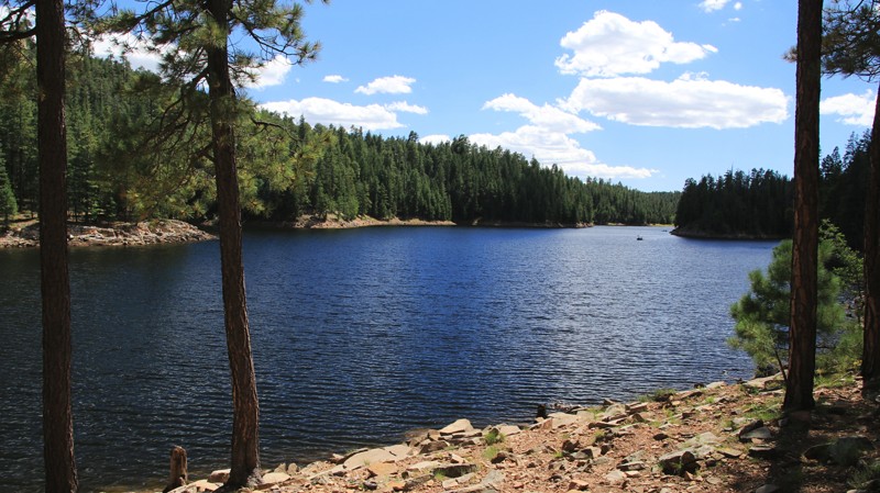
When imagining Arizona, no one thinks of sparkling clear mountain lakes. Above the massive Mogollon Rim escarpment, Arizona's high country is dotted with alpine lakes. Knoll Lake, set in a vast Ponderosa pine forest, is one of the less visited. Formed by damming East Leonard Canyon, Knoll Lake is a haven for fishermen, kayakers, and campers.

The road into the lake is well maintained but accessible only via Rim Road. Dispersed camping is more than abundant, with sites of all sizes clustered primarily in the second and third miles of the trail. Everything from tents to camping trailers can find a home along the trail. Dispersed camping is not allowed after the 90-degree turn eastward towards the lake. Knoll Lake Campground is located after the east turn and near the lake. The campground has over 30 sites, water, picnic tables, fire pits, vault toilets, and grills.

Knoll Lake has a boat ramp, parking, and a vault toilet. Summer weekends are busy.
Arizona: Spring Valley Hero Photo
Scout Route Icon
4/5 (1 reviews)
Updated: 10/15/2024

Spring Valley

Red Lake, Arizona

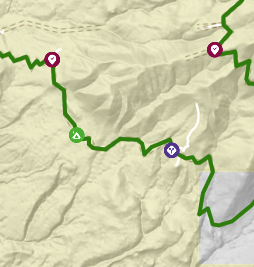
When Arizona Highways magazine designates a road as a scenic drive, there might be something worth seeing. Spring Valley Loop provides a basket full of worth. The road begins in the west off Highway 64, which eventually ends at the Grand Canyon. You might have heard of it. On the east end of Spring Valley Loop lies Parks, a stop on Old Highway 66. You might have heard of it. Between lies a vast pine forest, meadows, cute ranchettes, junk yards, open meadows, one campsite, and views of Hardy Hill and Sitgreaves Mountain. Sadly there's pavement on both ends. Perfection is unattainable, even by the beloved Arizona Highways magazine.

Arizona: Rim Wood Road Hero Photo
All-Access Icon
3.5/5 (13 reviews)
Updated: 05/14/2024

Rim Wood Road

Payson, Arizona
Are you looking for what has to be the best 'free' camping along the Mogollon Rim? This is your spot. The 2.2-mile long Rim Wood Road has 42 designated camping spots nestled in the pines. At the whopping price of $0 and if you get there early enough, you might even find a campsite right on the Rim's edge. The views are astounding, the drive easy and the area is a welcome retreat from the valley heat in Phoenix. It's almost hard to believe that you are still in Arizona while listening to the breeze whispering through the tall Spruce and Douglas Fir trees.
Arizona: Anderson Mesa Hero Photo
Scout Route Icon
3/5 (1 reviews)
Updated: 10/15/2024

Anderson Mesa

Winona, Arizona

Anderson Mesa, also labeled as Winona Ranch Road along a short section of the northern starting point, is a connector from I-40 in the north to Lake Mary Road in the south, paralleling the South Side of Walnut Canyon trail. There are many side trails featuring nice private overlanding-style boondocking campsites where you will not be bothered by anyone due to the difficulty of access. Some of these sites have San Francisco Peaks views. Do not attempt FR82 in a wide or tall vehicle or without a 4x4 and high clearance. This trail is not suitable for trailers, campers, or passenger sedans.

FR82's northern half is a mostly smooth graded dirt road beginning at the Winona exit from I-40 and proceeding south until it passes through private property. In this middle portion, FR82 effectively disappears from your maps and the trail signage posted by the forest service, and a variety of confusing and outdated FR9XXX and FR128X trails can be found mixed in with FR82. Outdated maps and signage are abundant in the area, due to lack of visitation by Forest Service staff. This scout route connects the northern portion of FR82 with the southern portion of FR82 using several other roads and without violating posted private property. This middle section of the trail is rough dirt with some serious rutting. The southern portion of FR82 is extremely rocky and follows a stream through a canyon with many crossings and portions covered with 9-12" rocks; your passengers will feel the whiplash here unless you go very slow and air down. The last southern mile of the trail near Ashurst Lake Road is graded dirt with several group campsites.
Arizona: FR 222A Hero Photo
All-Access Icon
3.7/5 (4 reviews)
Updated: 07/23/2023

FR 222A

Flagstaff, Arizona

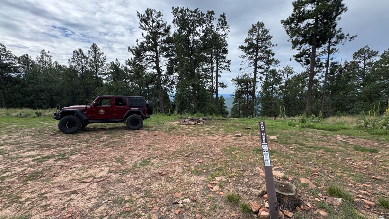
Located in the Coconino National Forest, FR 222A travels through a dense Ponderosa Pine forest, the largest in North America. It also traverses a land formed by ancient volcanos. The ragged gray edges of lava flows can be seen through the thick trees. But it isn't until the forest opens up that you see the myriad of peaks and cinder cones that dominate this unique part of Arizona. Views like this come at a price. Here a small but severe forest fire in 2000 denuded the landscape but opened impressive views. Imagining this as a land of violent volcanic activity is difficult when nestled in a peaceful campsite listening to the soothing wind in the tops of the pines interrupted only by the plaintive bugling of a bull elk. But the last volcanic activity in the area happened a thousand years ago, just a blink of an eye in geologic time. FR222A provides the perfect setting for enjoying peacefulness while pondering the violent past.

Arizona: Sawmill Springs Hero Photo
All-Access Icon
3/5 (3 reviews)
Updated: 06/05/2022

Sawmill Springs

Mormon Lake, Arizona

Located in the heart of the vast and beautiful Coconino National Forest, Willow Springs is a great camping destination as well as a fun drive through some amazing countryside. Most of the track is nestled in old-growth Ponderosa pines interspersed with small alpine meadows. The large flat campsites are popular summer getaways. After skirting around the northern base of Cow Hill, the trail breaks out into the juniper-studded grasslands of Anderson Mesa. The trail ends near the shallow grassy Cow Lake. Yes, cows are a theme of this area. This is open range and used for summer grazing by one of Arizona's largest and most historic ranches, the Apache Maid. During the summer, expect to see cattle grazing or lazing in the shade alongside the trail. In early Fall, they will be rounded up and moved to winter pastures at lower elevations. Sawmill Springs intersects with Anderson Mesa South and FR 124H, both interesting trails for those seeking some adventurous wheeling.

Arizona: General Springs Hero Photo
All-Access Icon
4/5 (13 reviews)
Updated: 05/14/2024

General Springs

Payson, Arizona

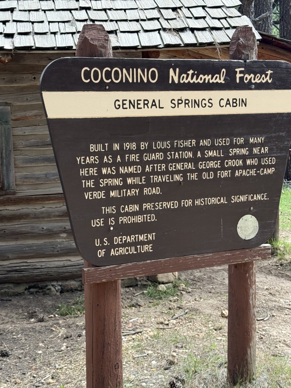
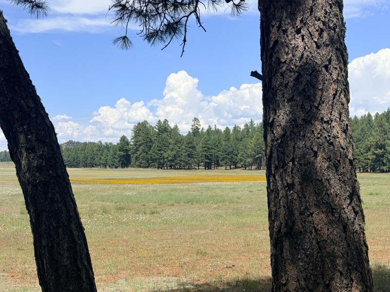
Directly off of the 44.5-mile Rim Road, General Springs is a quick side trip well worth your time when navigating one of the best roads along the Mogollon Rim. Through the tall pines, you end at a beautiful Arizona style meadow with the well preserved General Springs Cabin. This is an excellent side-trip for anyone looking for good camping and access to fantastic hiking trails.

Arizona: Hicks/Duncan Hero Photo
All-Access Icon
4/5 (5 reviews)
Updated: 07/03/2022

Hicks/Duncan

Payson, Arizona

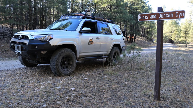
John Hicks and John Duncan were two of the first settlers in what would become the town of Pine in 1879. Hicks and Duncan partnered in a ranching venture. They summered their cattle in the high country above the Mogollon Rim, just as ranchers still do today. The canyon they used for summer grazing became known as the Hicks and Duncan Canyon. FR 149 crosses that canyon today and is locally known as the Hicks/Duncan. Hicks/Duncan is a picturesque trail that cuts through the massive Ponderosa pine timberland that dominates the vast Coconino National Forest. With an average elevation of 7000 feet, the mild summer temperatures make the area a favored getaway for desert dwellers. Camping among the soaring pines with the wind song of the breeze through the upper branches is a wonderfully relaxing experience. Though no formal trail exists, hiking along the broad Hicks and Duncan Canyon is an easy stroll. A hiker is sure to see Abert's squirrels scampering about. With any fortune, elk, deer, black bear, or wild turkey might also be spotted by those with a sharp eye.

Arizona: FR 132A Hero Photo
All-Access Icon
4/5 (4 reviews)
Updated: 08/12/2023

FR 132A

Mormon Lake, Arizona

So you're having a great time running the wonderful variety of trails found in the majestic Coconino National Forest and definitely not ready to put asphalt under your dusty wheels. Why not use the delightfully dirty FR 132A to cut over from Crimson Road to Casner Park Road and the spider web of trails available from there? Why not, indeed! FR 132A winds through a ponderosa pine forest with old-growth trees along its curvy 4.5 miles. The trail also offers a side trip to the summit of Mormon Mountain, elevation 8510 feet, and its antennae farm and views. You might spot elk watering at Mud Spring Tank or maybe a wild turkey crossing the road near Rock Dike Tank. If not, be happy. You're still on dirt.

Arizona: FR 109 Hero Photo
All-Access Icon
4/5 (3 reviews)
Updated: 06/05/2022

FR 109

Mormon Lake, Arizona

Many of the roads on the Mogollon Rim go through impressive forests and pass scenic alpine meadows. They are also fairly smooth, easy driving, and sometimes crowded. If you are looking for all that minus the smooth and crowds, FR 109 might be for you. This seldom-used road follows along the Bargaman Draw. A draw is a western term for a shallow canyon. Starting at the northern end, you leave Bargaman Park, a wide and beautiful alpine meadow. The road quickly becomes a rock-littered two-track. The pines on the west side of the trail show some soot from 2016's Jack fire. But the forest is in largely good health. Looking through the pines to the west, you can make out the slopes of Pine Mountain, a promontory topping out at almost 8,000 feet. The road makes a rocky crossing of Bargaman Draw just over four miles from the start. Large boulders are strewn haphazardly, making you choose your line with care. The crossing changes frequently following summer monsoon storms. Not long after clearing the crossing, it is almost a shock to round a curve into a large, open meadow. There are some great campsites on the southern side of this unnamed park. FR 109 deposits you onto Willow Valley. If you want more of what you just went through, turn left for a rocky ride. A right turn takes you onto the smooth part of the Willow Valley trail.

Arizona: Roberts Mesa Hero Photo
Scout Route Icon
4.3/5 (3 reviews)
Updated: 10/15/2024

Roberts Mesa

Kohls Ranch, Arizona
Set in the vast Tonto National Forest, Roberts Mesa connects Control Road with Tonto Creek Road. The trail is peppered with lots of roadside dispersed campsites. The roadbed on the east end of the trail has plenty of embedded rock. The west end is nicely graded since it leads to a community of summer homes. The skyline often offers nice views of the Mogollon Rim to the north and the rugged Mazatzal Mountains to the southeast.
Arizona: Moore Creek Hero Photo
All-Access Icon
4/5 (6 reviews)
Updated: 06/04/2024

Moore Creek

Payson, Arizona

If backpacking and hiking in the pines sounds like a great time, then this would be the spot to start. This easy off-road trail leads to Highline Trail #31 which is a great hiking trail that runs along the Mogollon Rim for over 50 miles. Beautiful vistas of rim canyons, brushy hills, and distant mountains. Unique rock formations and wonderful stands of Ponderosa pine. Fire is an important aspect of the wild environment. The Dude Fire of 1990 burned portions of the forest along the Highline Trail; thus, this trail is an ideal place to observe how our forests rejuvenate themselves after a fire. The Highline Trail, established in 1870, was used to travel between homesteads and to attend school in the town of Pine. Zane Grey and Babe Haught used the Highline Trail while hunting. The portion of the Highline Trail from Washington Park Trailhead and Pine Trailhead is part of the Arizona Trail.

Arizona: FR 613 Hero Photo
All-Access Icon
4/5 (4 reviews)
Updated: 06/08/2023

FR 613

Pine, Arizona

Running through the tall Ponderosa pines of the vast Coconino National Forest, FR 613 is one of the more seldom-used trails in the area. That's a good thing on summer weekends when desert dwellers flock to the cool high country to escape the heat. Fortyfour Canyon is a gorgeous little grassy meadow that makes for an excellent roadside camp or picnic spot. You may forget that you are in Arizona when coming across large fields of tall ferns. Scattered along the trail are excellent dispersed campsites, great places to kick back and relax as you listen to the wind sing through the upper branches of those massive pines.

Arizona: Highline Access  Hero Photo
All-Access Icon
3.8/5 (6 reviews)
Updated: 05/31/2024

Highline Access

Payson, Arizona
If camping and exploring trails with your 4x4 in the pines sounds like a great time, then this would be the spot to start. Camping in this area makes a great starting point for exploring the Arizona Mogollon Rim country near Payson, Arizona. The trail is easily accessible from FR64, Control Road and located near the East Verde Creek at Verde Glen. All within an easy trail ride from camp, you can hunt geodes at Brody Hill, rock crawl Pyeatt Draw or go for a hike on the Highline Trail #31. The trail has many beautiful dispersed campsites along the way, the one at the end is below the Mogollon Rim, allowing access to the Highline Hiking Trail.
Arizona: Chamberlain Trail Hero Photo
Scout Route Icon
4/5 (1 reviews)
Updated: 10/15/2024

Chamberlain Trail

Haigler Creek, Arizona

Chamberlain Trail runs from just below the Mogollon Rim in the north to Pleasant Valley in the south, descending nearly a thousand feet. The Ponderosa pines give way to juniper and scrub oak. The well-maintained dirt road has washboarding throughout. Near Fisherman Point, the trail is a narrow shelf road with blind hairpin turns. The shelf road section provides excellent views into Haigler Canyon. Near the southern end, the trail enters the parklike Pleasant Valley with broad grassy meadows dotted with junipers. A couple of miles from the southern end, look for a sign marking the grave of a Navajo herder killed during the Pleasant Valley War, a deadly 10-year battle between the two rival groups of area ranchers.

There is very little dispersed camping along the trail. The best camping is the free Haigler Canyon Campground on the banks of Haigler Creek. The campground has approximately a dozen sites suitable for one to two vehicles. Tent camping is also possible. There are picnic tables, fire pits with grills, and vault toilets. A nearby picnic area serves those just wanting to stop and play in the gurgling creek.

Arizona: Kehl Ridge Hero Photo
All-Access Icon
4/5 (3 reviews)
Updated: 06/05/2022

Kehl Ridge

Payson, Arizona

Kehl Ridge is a wonderfully winding little road that connects Rim Road, possibly the most scenic trail in central Arizona, with FR 147. Near the intersection with Rim Road, campsites on the edge of the Mogollon Rim offer panoramic views of a large portion of central Arizona. Coursing through old-growth Ponderosa Pine forests, Kehl Ridge crosses some small fern-bottomed draws that drain into East Clear Creek.

When combined with FR 147, Kehl Ridge offers visitors from the north smooth and easy access to the dramatic heart of the Mogollon Rim. Accessing beauty and remoteness need not be difficult or uncomfortable. As George W. Sears, under the pen name Nessmuck, wrote in his 1884 book Woodcraft, "During the long winters, they (tourists) are prone to collect in little knots and talk much of camps, fishing, hunting, and roughing it. I dislike the phrase. We do not go to the green woods and crystal waters to rough it, we go to smooth it. We get it rough enough at home, in towns and cities." Smooth it on out to the Rim Country on Kehl Ridge.

Arizona: Rocky Gulch Ridge Hero Photo
All-Access Icon
5/5 (6 reviews)
Updated: 06/05/2022

Rocky Gulch Ridge

Mormon Lake, Arizona

Rocky Gulch Ridge offers expansive alpine meadows, called parks by the locals, old-growth ponderosa pines, alligator juniper (the oldest tree species in Arizona), and quiet serenity to those who traverse its 8 miles of beauty. Cattle graze roadside and sometimes right in your camp. It isn't unusual to see a turkey, elk cow and calf, or a few mule deer run across the road in front of you. The trail gently drops in elevation when driven southwesterly. The vegetation changes slowly as pines get smaller, juniper appears, century plants bloom, views open southward, and Apache Maid Mountain suddenly looms ahead.