Region

Rim Country - The Mogollon Rim

Arizona

Offroad Trails in Rim Country - The Mogollon Rim

A Region within Arizona
4.2/5 (420)

Overlanding Arizona: Top Trails Near Phoenix on the Mogollon Rim

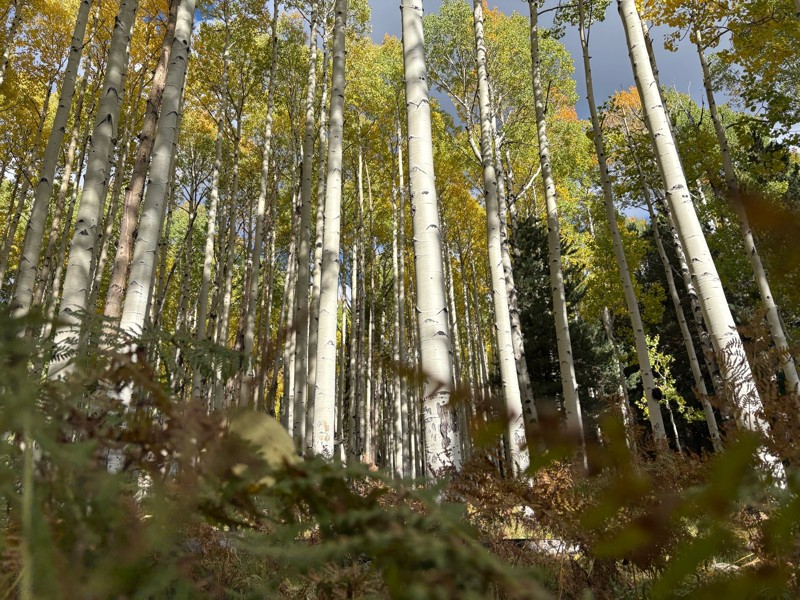
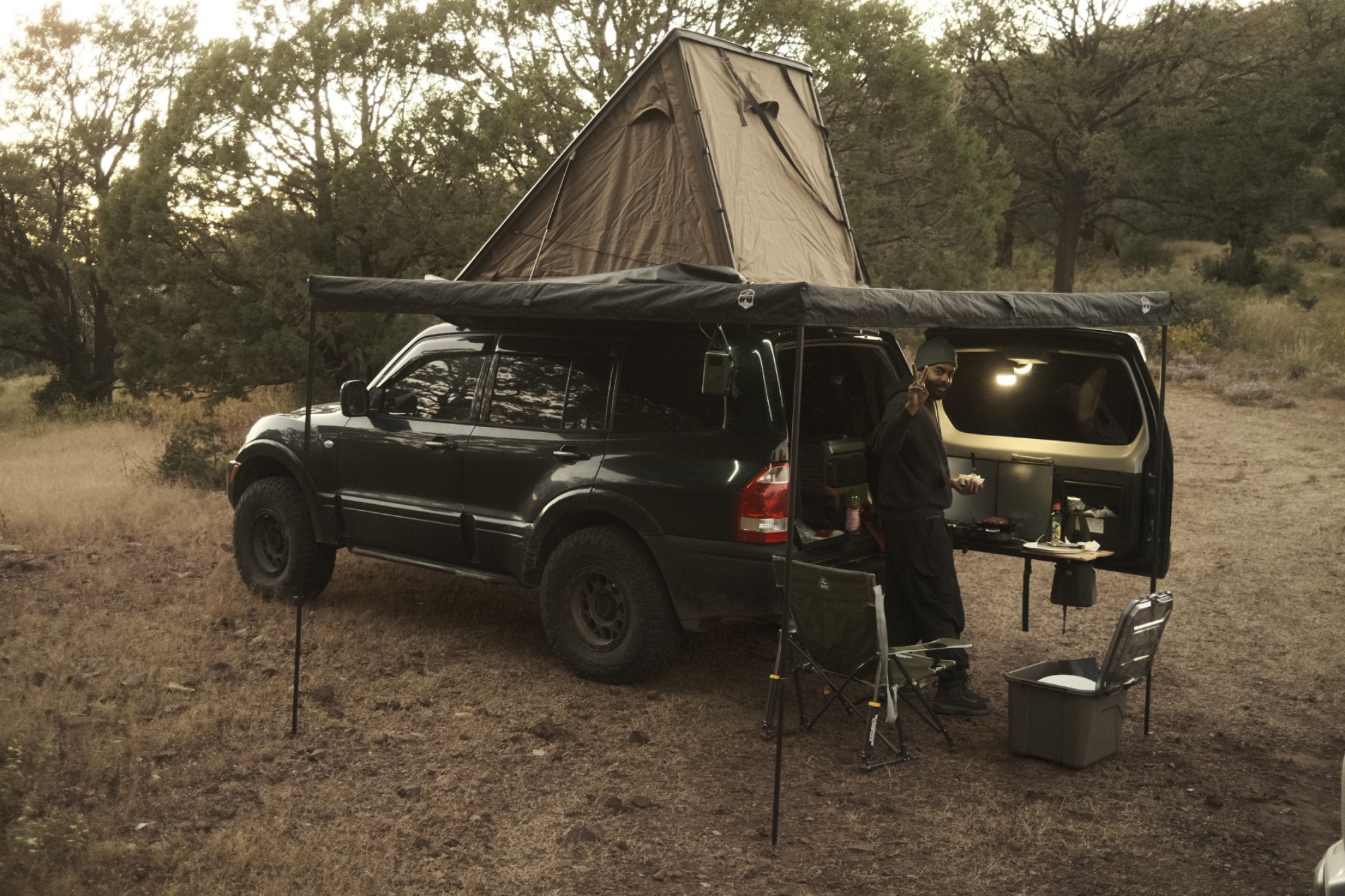
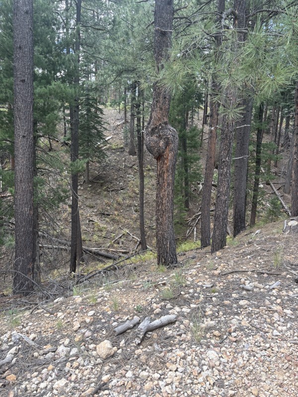
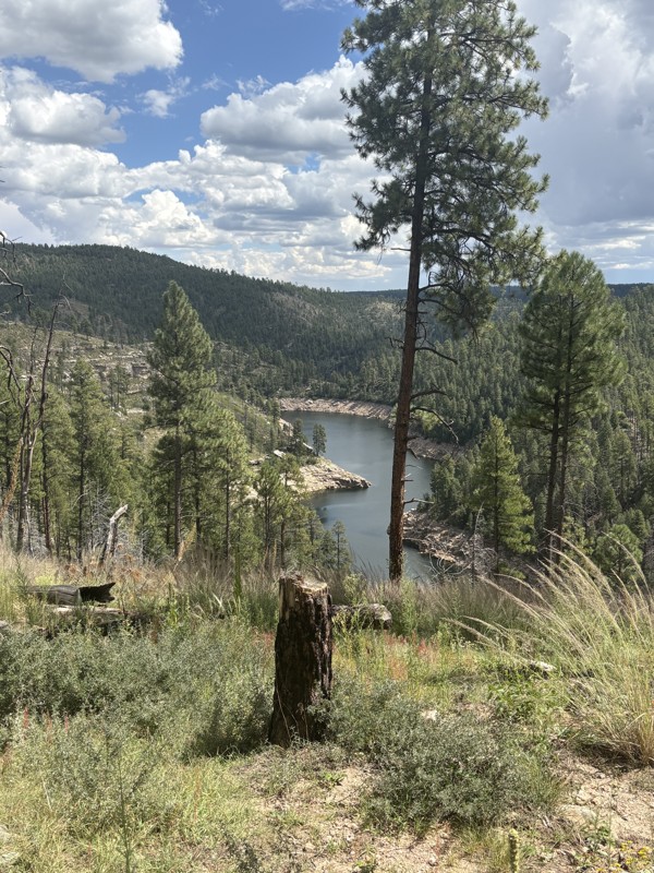
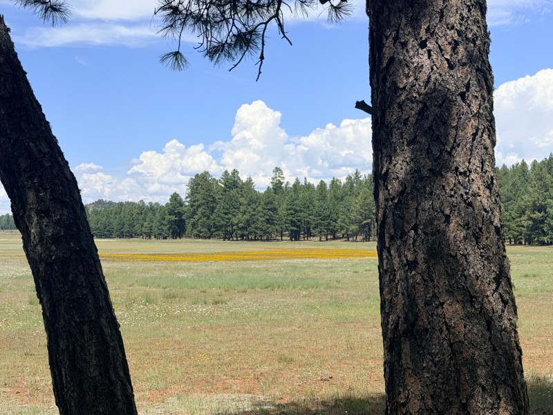
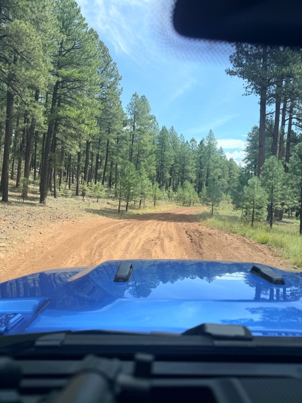
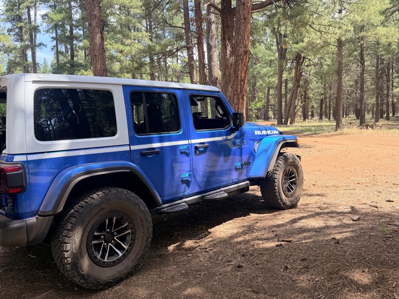
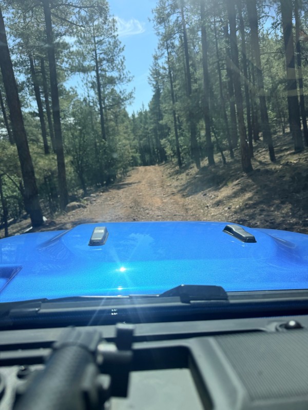
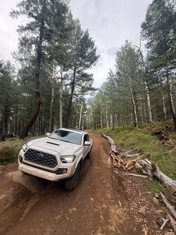
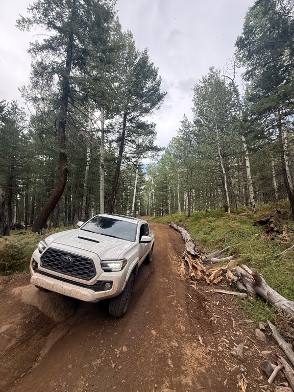
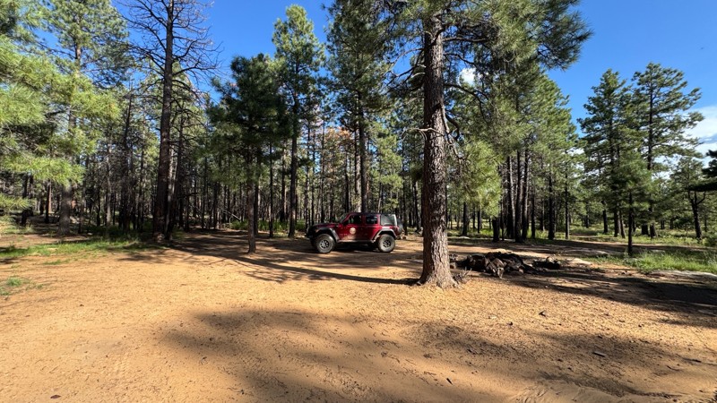
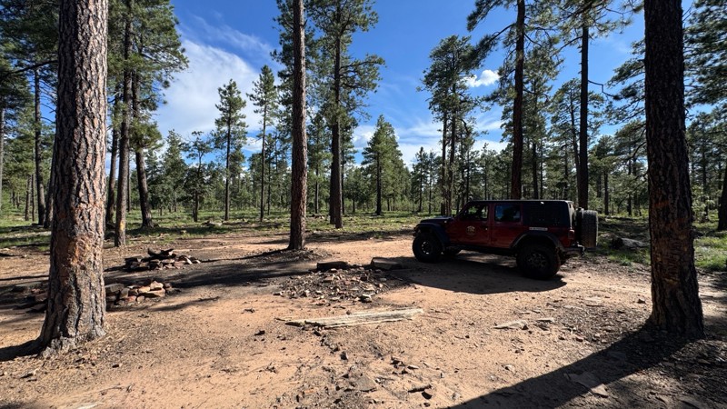
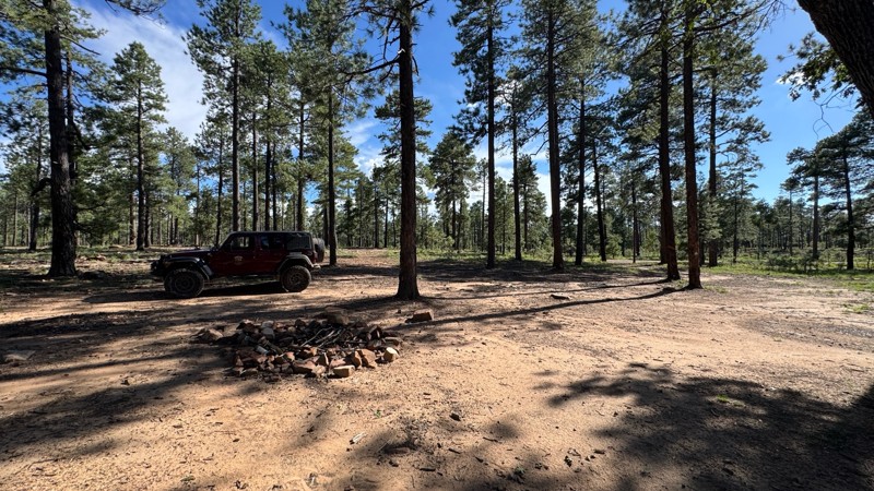
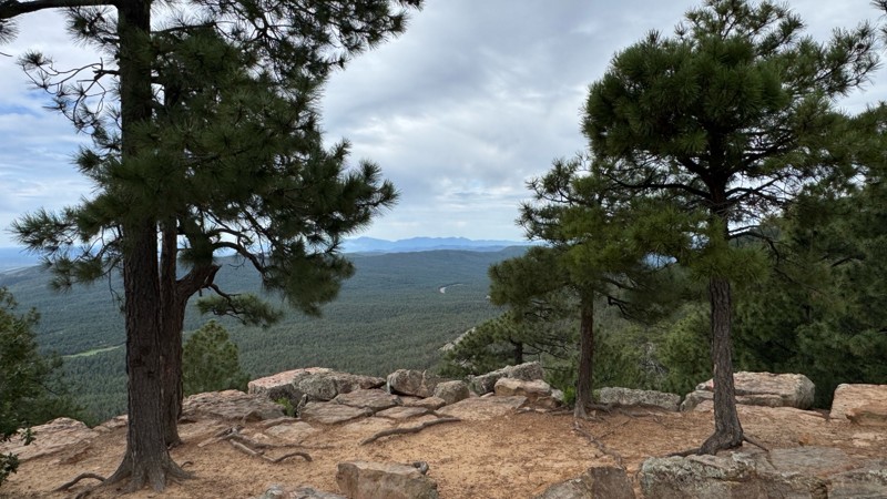
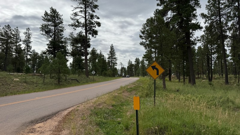
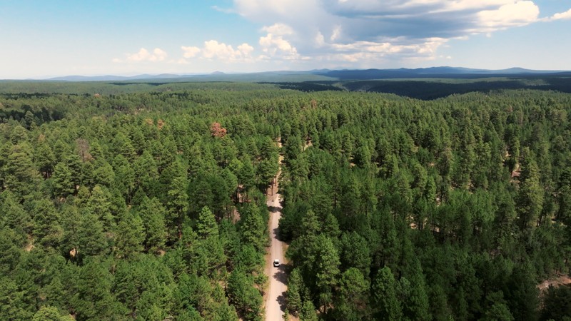
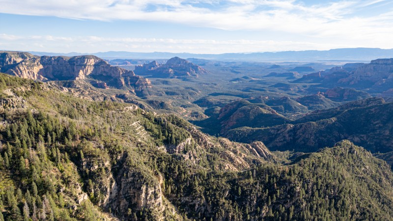
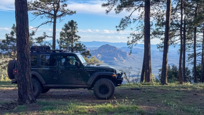
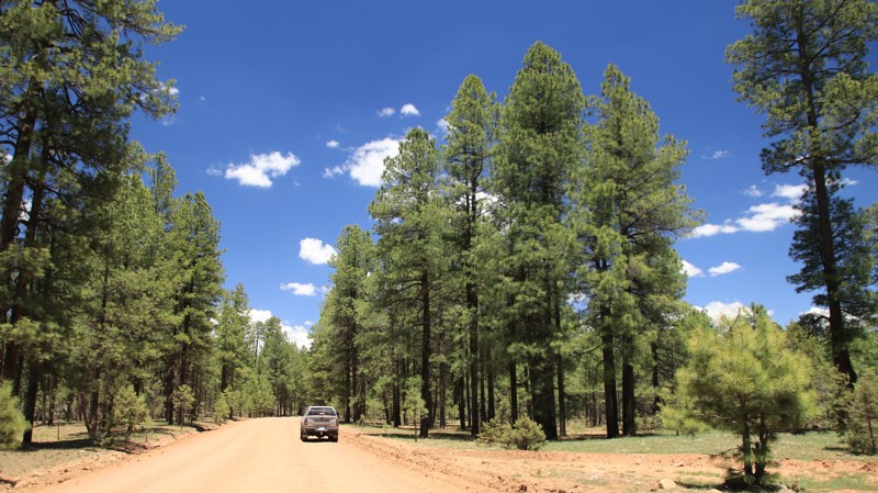
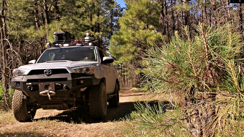
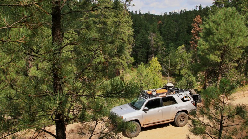
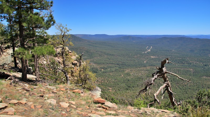
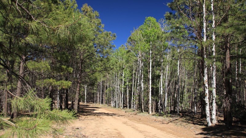
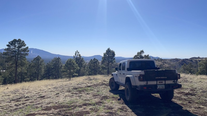
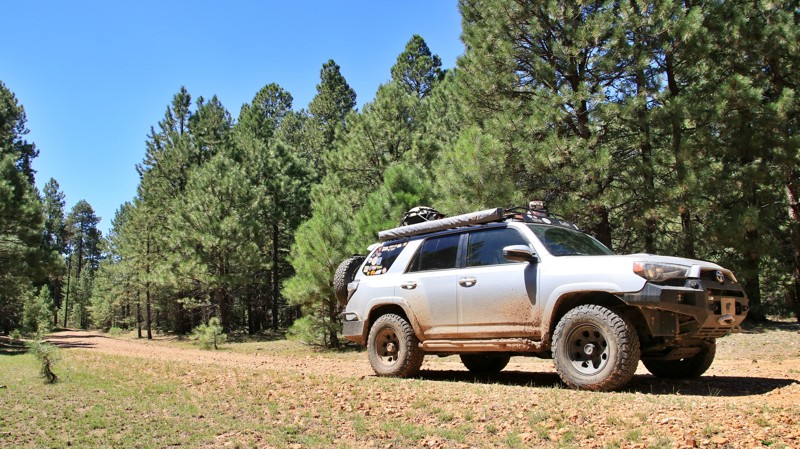
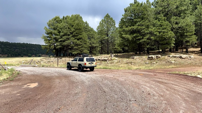
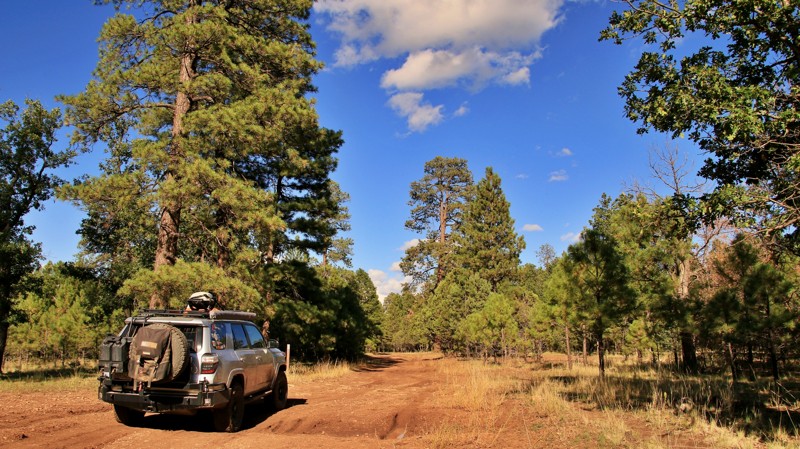
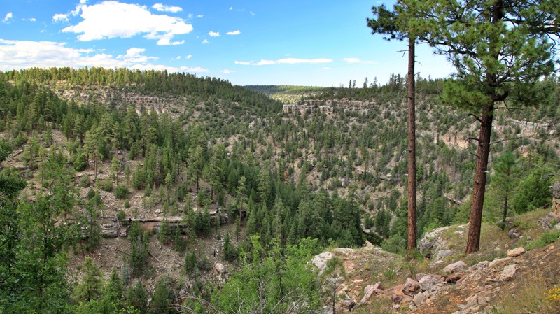
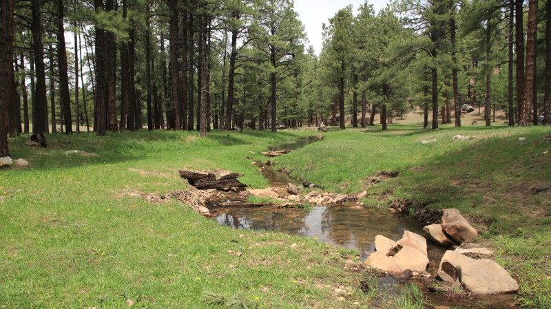
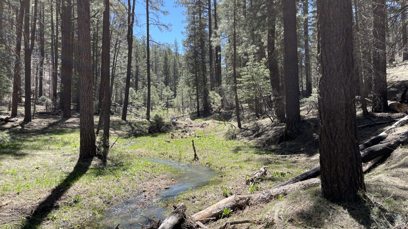
If you're looking to escape the desert heat, the Mogollon Rim (pronounced "MUG-ee-yon") is the perfect retreat for anyone living in the Phoenix metro area. Just a few hours north, this high-elevation destination offers cooler temperatures, stunning views, and access to the largest contiguous Ponderosa pine canopy in the world—ideal for unforgettable overlanding adventures in Arizona.

Explore the Best Overlanding Trails on the Mogollon Rim

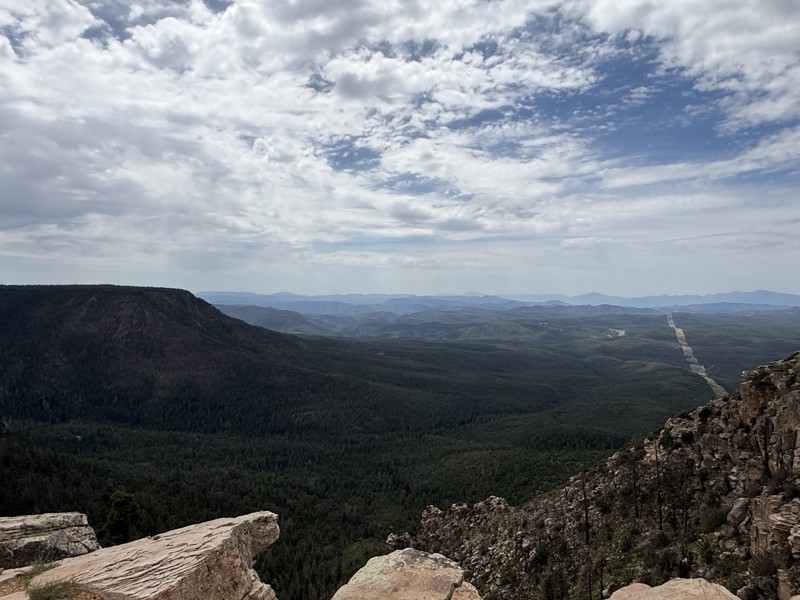
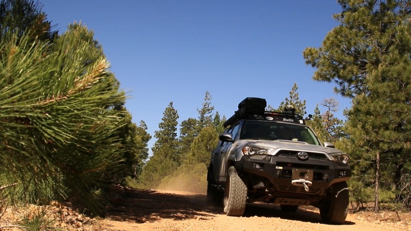
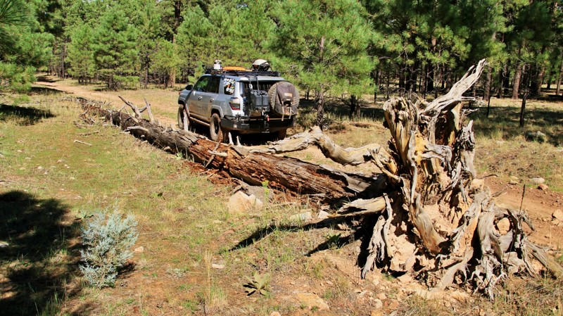
The Rim is a natural wonder stretching across central Arizona, known for its towering cliffs, deep forests, and endless trail options. Whether you're in a rugged 4x4 or a fully outfitted overlanding rig, these are the top three overlanding trails near Phoenix:

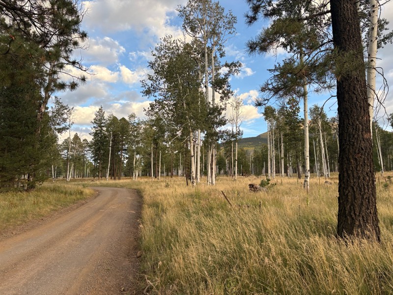
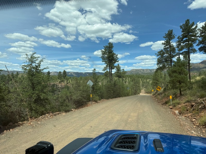
  1. Rim Road (Forest Road 300) One of Arizona’s most scenic drives, Rim Road hugs the edge of the Mogollon Rim for nearly 50 miles. This gravel road offers panoramic views, abundant wildlife, and countless dispersed camping opportunities—all surrounded by towering pines.

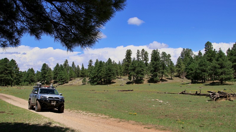
  2. FR 153A For a more remote adventure, Forest Road 153A offers a rugged, off-the-beaten-path experience. It winds through meadows and dense forest, perfect for those seeking solitude and a challenge. High-clearance vehicles are recommended.

  3. Sycamore Point A short drive off the main routes, Sycamore Point rewards you with sweeping views of Sycamore Canyon—Arizona’s hidden gem. It’s a favorite for sunsets, photography, and quiet reflection.

Plan Your Rim Country Overlanding Adventure

Do not feel limited to just the popular roads and trails. In fact, there are over 900 miles and 80 trails that we have documented, and hundreds of miles of forest service roads left to be explored. You could even overland from Phoenix to Flagstaff if you wanted to! Whether escaping for a weekend or building a longer trip, the Mogollon Rim delivers memorable scenery and ideal overlanding conditions. Before heading out, be sure to check for current fire restrictions and practice Leave No Trace principles. It’s a must-visit for Arizona adventurers looking to trade pavement for pine-scented trails.

Top Reasons to Explore Here

Basemaps
Go All-Access to Unlock


TRAILS OFFROAD™ TRAIL TYPES
Trail Guide
Full detailed write up with Advanced Rating System, Waypoints, Video, and more.
Scout Route
Lite version with highlights, camping, and hardest part documented. Vetted in person.
TRAIL DIFFICULTY RATINGS
easy (1-2)
Suitable for high clearance 2WD
moderate (3-4)
Best suited for a high clearance 4x4
difficult (5-6)
Best suited for a lightly modified 4x4
severe (7-8)
Best suited for a highly modified 4x4
extreme (9-10)
Best suited for specialized buggy type vehicles
LAYERS

Most Recent Trail Reviews

Most Popular

Search for Trails
Arizona: Telephone Ridge Hero Photo
All-Access Icon
4/5 (3 reviews)
Updated: 06/05/2022

Telephone Ridge

Pine, Arizona

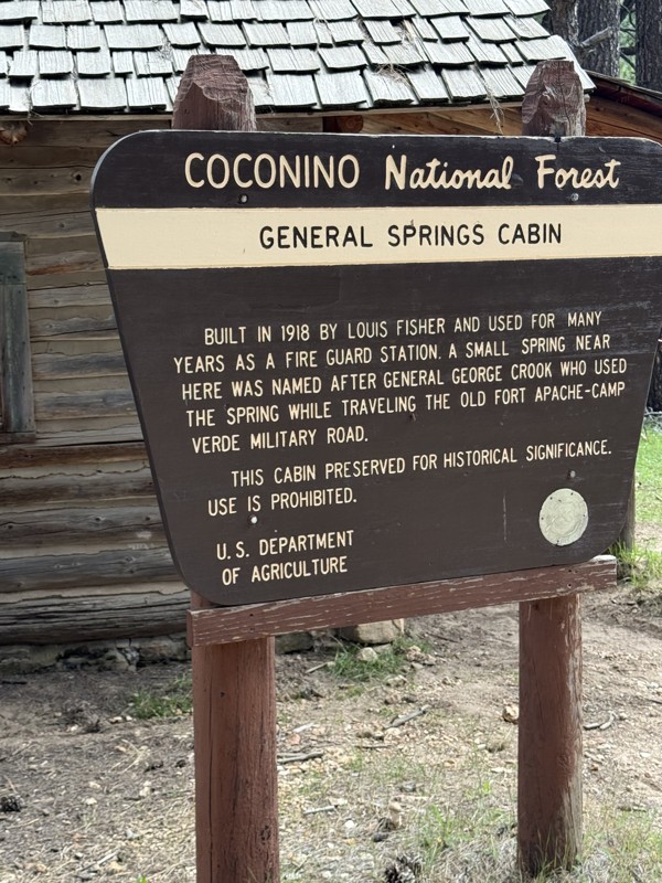
Telephone Ridge, or FR 139A, runs north along the spine of the ridge of the same name. It splits off of Dick Hart Ridge, the two ridges and roads separated by the green and grassy Houston Draw. While never exceedingly wide, at points, the ridgeline becomes very narrow. As you drive, you can look down the steep side slopes into Houston Draw on the east and the deep drainage of Bear Canyon on the west. The view gives you a definite appreciation for the ruggedness of this amazing land. Hiking is a favorite activity atop the Mogollon Rim. The Cabin Loop is one of Arizona’s premier backpacking routes. Telephone Ridge crosses two of the five hiking trails that make up the Cabin Loop. Near the trailhead, the Houston Brothers Trail crosses on its way south to the Mogollon Rim. Further up the road, the Fred Haught Trail cuts across the track on its way to both the Fred Haught Cabin and the General Springs Cabin. Telephone Ridge ends at the start of the Rock Crossing Trail. This rugged hiking trail goes north to the beautiful Blue Ridge Reservoir.

Arizona: Desert to Tall Pines Scenic Byway (North) Hero Photo
Scout Route Icon
5/5 (1 reviews)
Updated: 10/15/2024

Desert to Tall Pines Scenic Byway (North)

Young, Arizona

The Desert to Tall Pines Scenic Byway begins near the southern end of Roosevelt Lake with its many saguaro cacti, passes through the remote hamlet of Young, and ends atop the Mogollon Rim with old-growth Ponderosa pines. The byway has short paved sections at each end and the middle section through Pleasant Valley and Young. The remainder of the trail is dirt road. Young is the only significant city in Arizona that must be accessed by a dirt road. Young is famous for the 10-year Pleasant Valley War between the feuding Tewksbury and Graham ranch families. The feud resulted in nearly 50 deaths and is said to have delayed Arizona's bid for statehood by several years.

This Scout Route describes the dirt section north of Young. The wide dirt trail climbs steadily out of Plesant Valley. The pines grow taller with additional elevation and decreased temperatures. Any curve in the trail may present the paradox of meeting an 18-wheeler delivering supplies to Young via a dirt road. Spur trails shoot off into the Tonto National Forest and beg for exploration.

Several dispersed campsites are along the road. The best camping is at the free Colcord Ridge Campground, where the dirt meets pavement again on the northern end. Young has fuel, groceries, and the well-regarded Antlers Cafe.

Arizona: Kendrick Park Hero Photo
Scout Route Icon
5/5 (2 reviews)
Updated: 05/27/2025

Kendrick Park

Fort Valley, Arizona

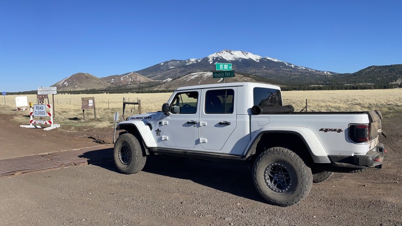
Kendrick Park Road connects US-180 to US-89 and features very nice dispersed campsites along the road, excellent peak views, and direct access to the AZT. The campsites are on two tracks along the road and won't be accessible to RV's.

Arizona: Dogtown Road Hero Photo
Scout Route Icon
5/5 (1 reviews)
Updated: 10/15/2024

Dogtown Road

Williams, Arizona

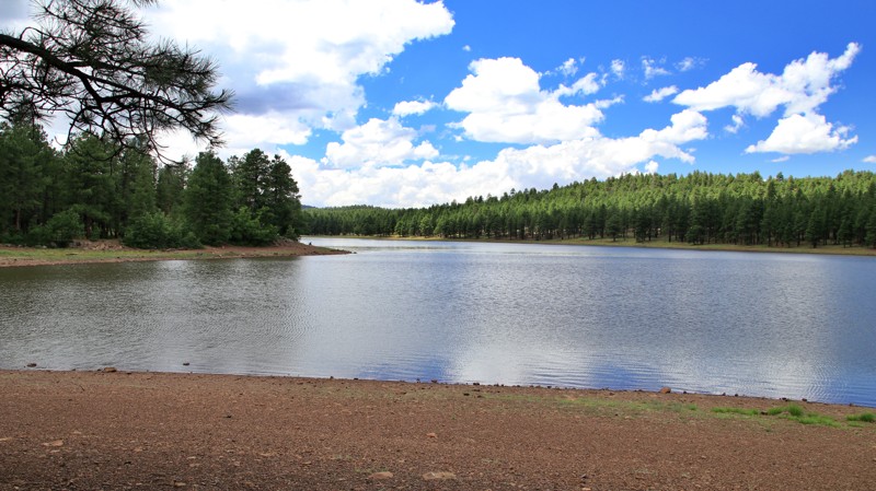
Forest Road 140 and its spur 132 are a camper’s heaven.  Together, they form Dogtown Road.  With literally hundreds of dispersed campsites, mainly along the western end, and an established campground and day-use picnic area, this is a busy road on summer weekends.  Dogtown Lake draws anglers, kayakers, and picnickers.  The name for the lake came from a nearby prairie dog village.  

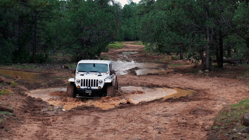
The road is easy, with one area of hard-bottomed mudholes in the late summer rainy season.  Lined with Ponderosa pines, the trail crosses a few open prairies with nice views.


Arizona: McClintock Ridge Hero Photo
All-Access Icon
4/5 (5 reviews)
Updated: 06/05/2022

McClintock Ridge

Pine, Arizona

McClintock Ridge, named for the ridgeline on which it runs, goes north off scenic Rim Road. Just getting to this trailhead is a visually splendid adventure as you drive along the Mogollon Rim with its dramatic forever views. Two picturesque canyons run parallel to the McClintock Ridge and merge just beyond the trail's end. To the west, deep and rugged Barbershop Canyon has a perennial spring-fed stream. Dane Canyon to the east has several springs as well. The little creek in Dane Canyon can be dry in stretches interspersed with wonderful deep pools. If you camp on McClintock Ridge, take a walk down into one of the side canyons. In late Summer and Fall, there are tasty wild blackberries and raspberries to pick. Crayfish and darters scurry through the pools in Barbershop. The ruins of an old cabin supposedly used by Zane Grey, the famous western novel author, sit on the east side of Dane Canyon at Dane Spring. Elk and other animals are plentiful. Expect to see elk and possibly wild turkeys early and late in the day.

Arizona: FR 300G Hero Photo
All-Access Icon
4/5 (4 reviews)
Updated: 06/05/2022

FR 300G

Pine, Arizona

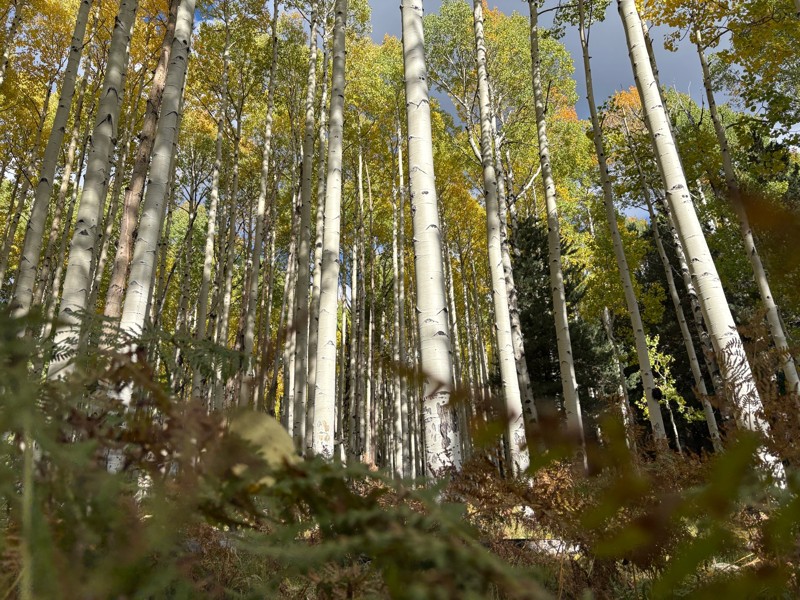
FR 300G runs north off scenic Rim Road. Just getting to this trailhead is a visually splendid adventure. The trail rides along the ridgeline between picturesque East and West Bear Canyons. Just beyond the end of the trail, those two smaller canyons merge to form the rugged Bear Canyon. If you camp along FR300G, take a walk down into one of the side canyons. In late Summer and Fall, there are tasty wild blackberries and raspberries to pick. In Fall, the Aspens turn golden, and Big Tooth Maples transform into a bright red, bringing rare seasonal color to the area. Elk and other animals are plentiful. In Spring, you may find a set of antlers where a bull worked his old ones free in order to grow new antlers for a new year

Arizona: FR 96 Hero Photo
All-Access Icon
3.5/5 (4 reviews)
Updated: 06/05/2022

FR 96

Pine, Arizona

Millions of years ago, pressure from deep in the earth ripped a fissure in the crust. The north side of the fissure rose a few thousand feet, creating a long ridge towering over the lower southern side. That uplift, named the Mogollon Rim, runs from New Mexico through Arizona, separating the Sonoran Desert from the Colorado Plateau. Late summer winds laden with moisture from the Gulf of California and the Pacific Ocean are forced upward by the massive uplift. The moisture condenses and falls as rain creating one of the western United State's largest forests. The rain also creates deep canyons running north to south. Most of the roads up on the Mogollon Rim run north to south along the ridges between the steep and rugged canyons. But one trail cuts through that network, snaking west to east. FR 96 is literally the pretty path to adventure in the easternmost region of the vast Coconino National Forest. Forking east off East Clear Creek, FR 96 transports visitors deep into the beauty of one of Arizona's most amazing landscapes. The scenic drive gets adventurers closer to hiking, backpacking, camping, hunting, and even fishing and kayaking over on Knoll Lake. Come enjoy the area. It's truly uplifting.

Arizona: Bear Canyon Lake Hero Photo
Scout Route Icon
3/5 (2 reviews)
Updated: 10/15/2024

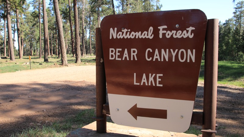
Bear Canyon Lake

Wiggins Crossing, Arizona

Bear Canyon Lake provides access to the alpine lake of the same name. The easy trail passes through a pine, fir, and aspen forest while crossing Willow Creek at Mule Crossing. The lake is only partially visible from the parking areas and accessible only by a steep hike, but it is very popular with fishermen.

Camping in the vicinity of the lake is in numbered designated sites only. The sites near the lake share two vault toilets. Outside the lake area, there are nice dispersed campsites. RV, camper trailers, and tent campers can all find suitable sites.

Arizona: Promontory Butte Hero Photo
Scout Route Icon
4.8/5 (6 reviews)
Updated: 06/29/2026

Promontory Butte

Christopher Creek, Arizona

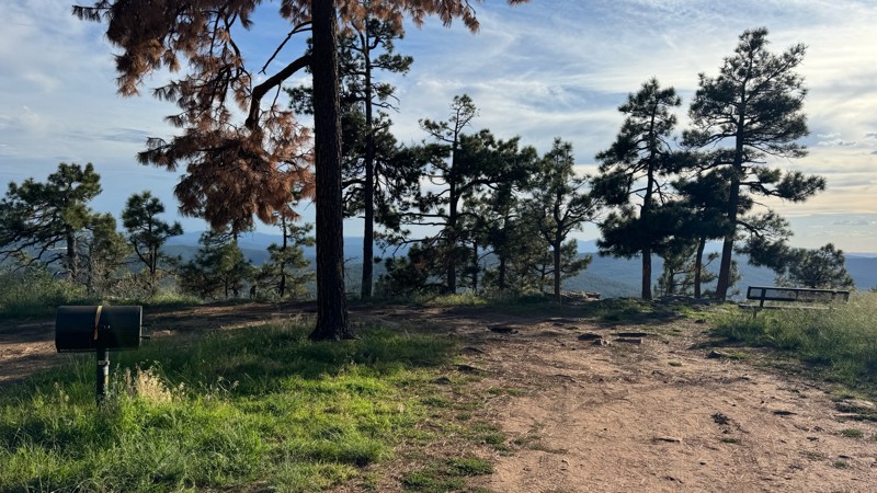
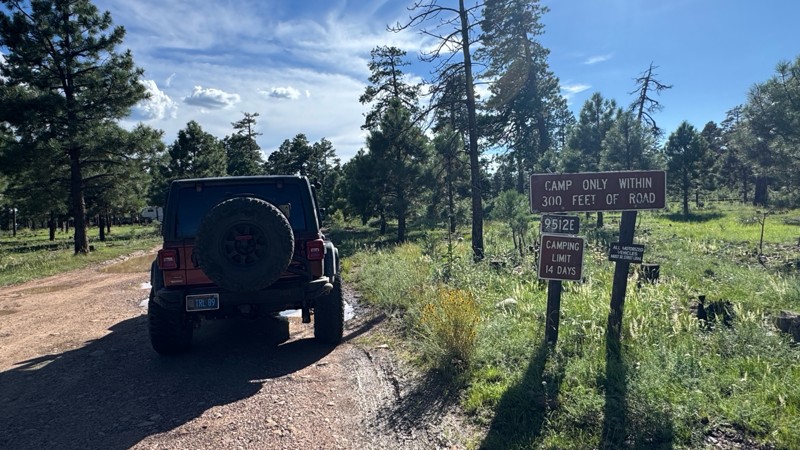
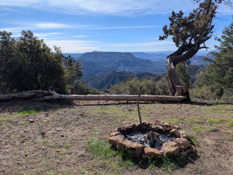
Promontory Butte, FR 76, is a lollipop off Rim Road with superb dispersed camping. Campers must remain within 300 feet of the road. Several sites on the lollipop portion offer the unique opportunity to camp right on the edge of the Mogollon Rim with unparalleled views. The trail is narrow, with deep ruts and loose fist-sized rocks. RVs and trailers are not recommended. The trail may be impassable when wet.

Arizona: Gentry Ridge Hero Photo
Scout Route Icon
4.5/5 (2 reviews)
Updated: 10/15/2024

Gentry Ridge

Kohls Ranch, Arizona

Gentry Ridge, FR 91, is a secondary forest road that receives minimal maintenance. The steep slopes leading down into the McGuire Crossing of Turkey Creek have loose fist-sized rocks that require good tires and 4WD. Aspen groves dot the trail's center and would make a golden tunnel over the road in the fall.

Camping is not abundant on Gentry Ridge, with sites only on the western end. One superb site sits on a small spur to the north, approximately one mile from the trail's western end.

Arizona: Old "190" Kendrick Trailhead Hero Photo
Scout Route Icon
4.3/5 (4 reviews)
Updated: 10/09/2025

Old "190" Kendrick Trailhead

Parks, Arizona

FR190 is a moderately difficult, rocky, and severely rutted dirt road that loops around a hill near Kendrick Peak. To reward your trouble, you will find several nice, 4x4-accessible, dispersed campsites back.

Arizona: Hospital Ridge Hero Photo
All-Access Icon
4/5 (4 reviews)
Updated: 06/05/2022

Hospital Ridge

Pine, Arizona

Nothing seems to be more relaxing than kicking back in camp and listening to the relaxing sounds of nature and the wind singing in the tops of tall pines. Hospital Ridge is all about that camping experience. Each little spur trail offers a shady, secluded getaway. Squirrels chatter and gather pine nuts for the winter. Jays and ravens watch your camp with an envious eye, ready to swoop in and take away a trinket or the snack you temporarily abandoned. Elk bugle deep in the forest of pines, spruce, and fir. Shy deer slink past your camp, pausing only for a quick look before scampering away. Hospital Ridge is located in the remote eastern section of the vast Coconino National Forest. Sitting atop the Mogollon Rim, the higher elevation makes for pleasant summers away from the desert heat below. Not far away is the historic Buck Springs Cabin, sitting beside its lovely alpine meadow. Make the time to visit the site. It's definitely worth it. Maybe Hospital Ridge got its name because a little time there will definitely decrease your blood pressure and stress level. Go try it.

Arizona: South Side of Lower Lake Mary Hero Photo
Scout Route Icon
3/5 (2 reviews)
Updated: 10/15/2024

South Side of Lower Lake Mary

Mountainaire, Arizona

Running along the south side of Lower Lake May, FR 296 begins as a graded road and deteriorates into a dirt and mud trail. There is usually no water in Lower Lake Mary, but there are picnic areas and wildlife viewing opportunities. Parcels of private property mixed in with the Coconino National Forest land, so watch the signage. The trail connects with FR132D near Upper Lake Mary. There's no camping along this trail.

Arizona: FR 513B Hero Photo
All-Access Icon
4/5 (3 reviews)
Updated: 06/05/2022

FR 513B

Pine, Arizona

Situated in the eastern portion of the vast Coconino National Forest, FR 513B rides along the western ridgeline above the deep chasm cut by East Clear Creek. The 2018 Tinder Fire has opened the forest up to provide some impressive views across the wide canyon. Besides the views, FR 513B has some fantastic campsites outside the burned area. Since roadside camping is not allowed on East Clear Creek past its intersection with FR 513B, the numerous campsites just up the trail from the intersection are very popular. Deer, elk, and turkey are often nearby. They might be shy, but every so often the lucky get a glimpse of them sliding through the deep Ponderosa pine forest.

Arizona: FR 139G Hero Photo
All-Access Icon
4/5 (4 reviews)
Updated: 10/14/2022

FR 139G

Pine, Arizona

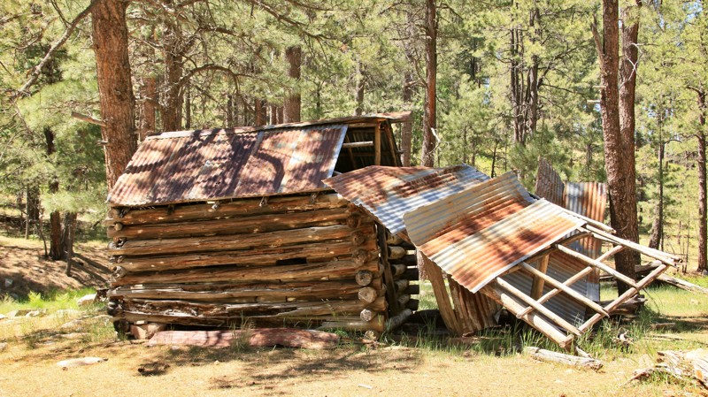
FR 139G is a delightful little two-track through the tall pines of the vast Coconino National Forest. A short hike along a side trail brings you to picturesque Aspen Spring and an old homestead. A stone chimney remains from the original cabin. The log horse barn is leaning but still standing after all this time. Aspen Spring flows gently from under a massive rock outcrop, its pure water joining the little creek in Houston Draw. The site was used back in the day by the Houston brothers, who summered their cattle in the lush canyons of the high country above the Mogollon Rim. Further along the trail are superb campsites beckoning you to spend some time listening to the wind sing in the tops of the towering pines. Swinging a hammock between two pines and listening to the wind song is proven to make a person forget the rest of the world below, at least for a bit.

Arizona: FR 116A Hero Photo
Scout Route Icon
3/5 (2 reviews)
Updated: 06/29/2026

FR 116A

Williams, Arizona

FR 116A is a nice drive through the forest along an unmaintained dirt road. The tire ruts and occasional rocks are a challenge for vehicles without clearance. The northern portion of the road has numerous campsites and is often crowded since it is a few miles from Willams and along the highway to the Grand Canyon. There are great campsites with various levels of cell phone service along most of the road. The farther you get from the main road the more the campsites are spread out. 

Arizona: FR 935 Hero Photo
All-Access Icon
3/5 (6 reviews)
Updated: 06/05/2022

FR 935

Mormon Lake, Arizona

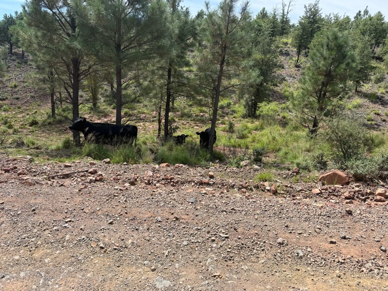
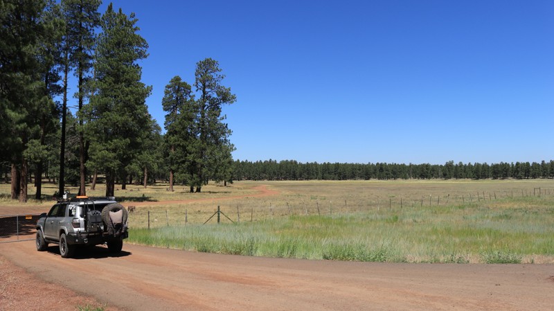
FR 935 winds through old-growth pine forests, crosses alpine meadows and passes through ranch land still worked by cowhands on sure-footed ponies. After you leave the pavement be sure to close the gate behind you. The trail immediately crosses a wide-open meadow with spacious campsites on both sides. The trail winds along the contours of this rugged landscape mostly smoothly but occasionally forcing you to choose a line to bypass protruding boulders. Often cows and calves are laying in the shade and watch idly as you roll by. Several small spur trails go off at angles along the way, so pay attention to the guide unless you are in the mood for some more exploring. Though in this beautiful country, side trips are often good trips. Before long FR 935 deposits you onto Stoneman Lake Road, a good route to other adventures in the area.

Arizona: Wiggins Hero Photo
Scout Route Icon
3/5 (1 reviews)
Updated: 10/15/2024

Wiggins

Wiggins Crossing, Arizona

Running between Limestone, FR 215, in the east and Wallace, FR 34, in the west, Wiggins is a well-maintained artery in the westernmost reaches of the Sitgreaves National Forest. The trail's most redeeming feature is Wiggins Crossing, where steep shelf roads and a seemingly out-of-place bridge cross the deep and scenic Willow Creek Canyon. Decades ago, Macadam was added to the dirt trail to stabilize the eroding shelf roads in and out of the canyon. Today, the deteriorating attempt at pavement is the hardest and roughest part of the trail.

A handful of large, flat, shaded, dispersed campsites lie just west of Willow Creek Canyon.

Arizona: FR 513 Hero Photo
All-Access Icon
4/5 (3 reviews)
Updated: 06/05/2022

FR 513

Pine, Arizona

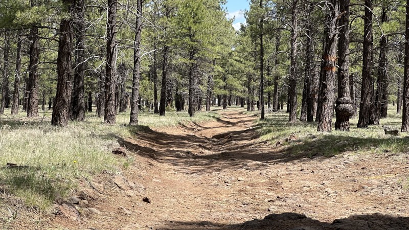
FR 513 and its connecting spurs are one of those gems that most folks race by without noticing. After all, in the vast Coconino National Forest, it can be difficult to see the forest for the trees. Thus the casual visitor may be excused for missing the pristine forest of tall Ponderosa pines that envelop FR 513. The forest here is anything but confining. Moqui Draw parallels the first section of the trail. Its open grassy meadow is often studded with wildflowers giving the area a park-like feel. The forest is largely devoid of brushy undergrowth, adding to the open feel of the landscape. The wind singing through the tops of the tall pines is guaranteed to lower your blood pressure and illicit an "ahhhh." The higher elevation makes the area a desirable escape from summer's heat in the deserts below. While FR 513 is a fairly easy drive, the connecting spur trails offer a bit more interesting wheeling and a look deeper into the forest. Seeing deer, elk, and turkey along them is common. Black bear sightings are rarer. Seeing cows on the trail in the summer is almost certain since grazing is allowed in this portion of the National Forest. Besides watching out for cow pies, keep a mindful eye out for the sneak thief ravens eyeing your campsite for food and trinkets.

Arizona: FR 76 Hero Photo
Scout Route Icon
4/5 (1 reviews)
Updated: 10/15/2024

FR 76

Parks, Arizona

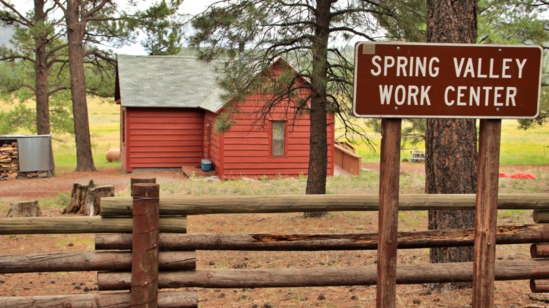
FR 76 begins off Historic Route 66 in the south and goes north to the historic Spring Valley Work Center, a once remote Forest Service cabin. Today you can visit the site and even reserve it for group camping. The trail has mountain grades in the middle and deep ruts on the northern end. The elevation rises in the middle of the trail at Schultz Pass enough that aspen, spruce, and fir find their way into the pine forest. Camping is plentiful on the ends of the trail, with sites large enough for groups or larger rigs.

Arizona: Old Rim Road Hero Photo
Scout Route Icon
3.5/5 (2 reviews)
Updated: 08/24/2026

Old Rim Road

Forest Lakes, Arizona

Al Fulton. Shot. 1901.

The gravemarker still sits against an ancient tree just south of Lake One, near the General Crook hiking trail. Little is recorded about Al or his death. The grave is a short hike from the Mogollon Rim Visitor Center, which sits at the start of Old Rim Road, FR 171, which runs along Fulton Point, a scenic vista perched atop the Mogollon Rim.

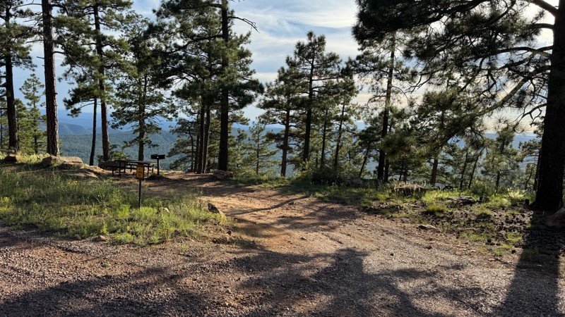
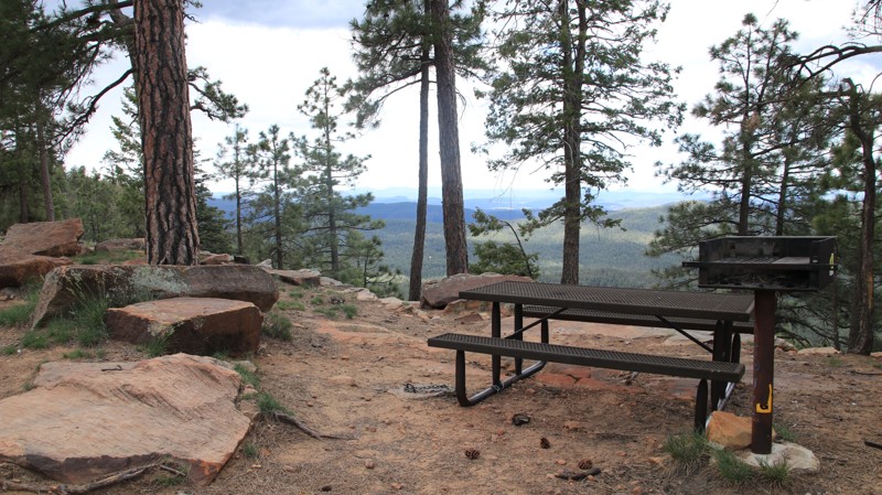
Old Rim Road is all about camping. The first quarter mile from the Visitor Center on the west end of the road is a designated day-use area with multiple sites sitting right on the edge of the Rim with picnic tables and expansive views. The remainder of the 2.5-mile well-maintained forest road has 49 designated campsites supporting everything from tent camping to RVs. The ones on the west end of the track have Rim views. The others sit in a shady Ponderosa Pine forest. The sites range in size from single-vehicle to large sites subdivided into as many as five smaller campsites. Most are fairly level with stone fire rings. There are no other services.

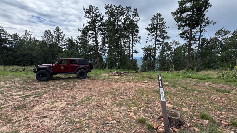
Camping is free but limited to 14 consecutive days. Camping is only allowed at designated sites and within 50 feet of the “camp here” signs. This is a congested area, so shooting is not allowed.
Arizona: Hart Canyon Hero Photo
Scout Route Icon
5/5 (1 reviews)
Updated: 10/15/2024

Hart Canyon

Wiggins Crossing, Arizona

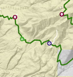
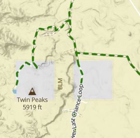
Hart Canyon, FR 75, loops off Wallace, FR 34. The easy road is packed dirt with small loose rocks. It crosses one well-marked section of private property. Please respect the no-trespassing signs. 
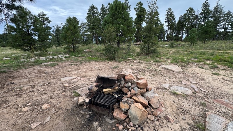
A large cattle corral is just over a half mile from the northern end of the trail.  Adjacent to the corral, a spur runs northward along beautiful Hart Canyon.  This scenic area can be reserved as a group campsite by calling the Black Mesa Ranger District at 928-535-7300.  The grassy site can accommodate at least two dozen rigs.  It has shady pines and sits beside a small spring-fed stream perfect for splashing in on warm summer days.

There are also a few scattered, dispersed campsites along the trail.

Arizona: FR 141H Hero Photo
Scout Route Icon
4/5 (1 reviews)
Updated: 10/15/2024

FR 141H

Washington Park, Arizona

Forest Road 141H connects to both the FR 141 and Battleground Ridge trails. It is a beautiful and well-maintained trail that's accessible by most vehicles. This trail intersects with Miller Canyon which offers breathtaking views of the surrounding ponderosa pines. Wildlife sightings are common with bird watching being a popular activity on this trail.

Arizona: FR 513A Hero Photo
All-Access Icon
4/5 (3 reviews)
Updated: 06/05/2022

FR 513A

Pine, Arizona

Nestled in a group of interesting side trails on the eastern portion of the vast Coconino National Forest, FR 513A cuts through a deep Ponderosa pine forest. Free-range cattle graze the area in summer. But elk, deer, turkeys, and the occasional black bear also call this forest home. While not far off the pavement, this area is often overlooked by campers and adventurists. FR 513A makes for an interesting little drive with fine scenery and just enough challenge to hold your interest and make your passenger reach for the grab handle now and then. Combined with the other similar trails nearby, this little gem can be part of a very enjoyable afternoon on the trails without the usual weekend crowds.