Region

Rim Country - The Mogollon Rim

Arizona

Offroad Trails in Rim Country - The Mogollon Rim

A Region within Arizona
4.2/5 (420)

Overlanding Arizona: Top Trails Near Phoenix on the Mogollon Rim

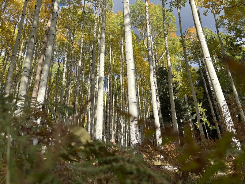
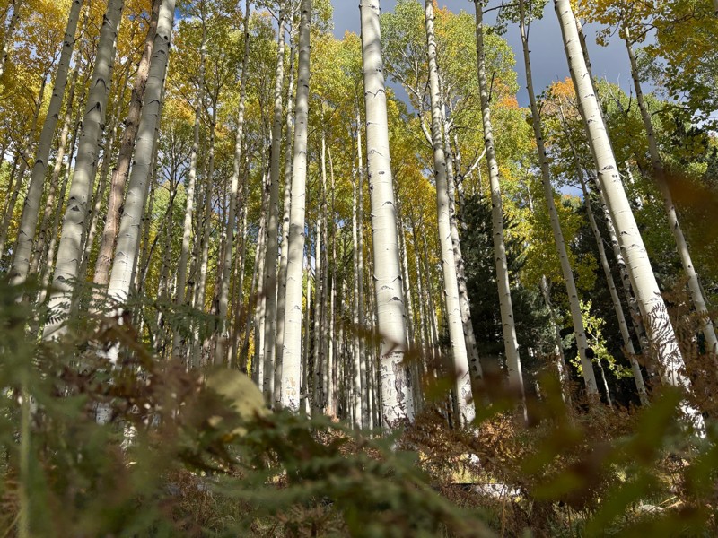
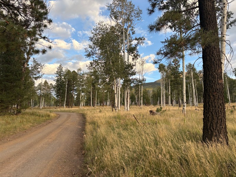
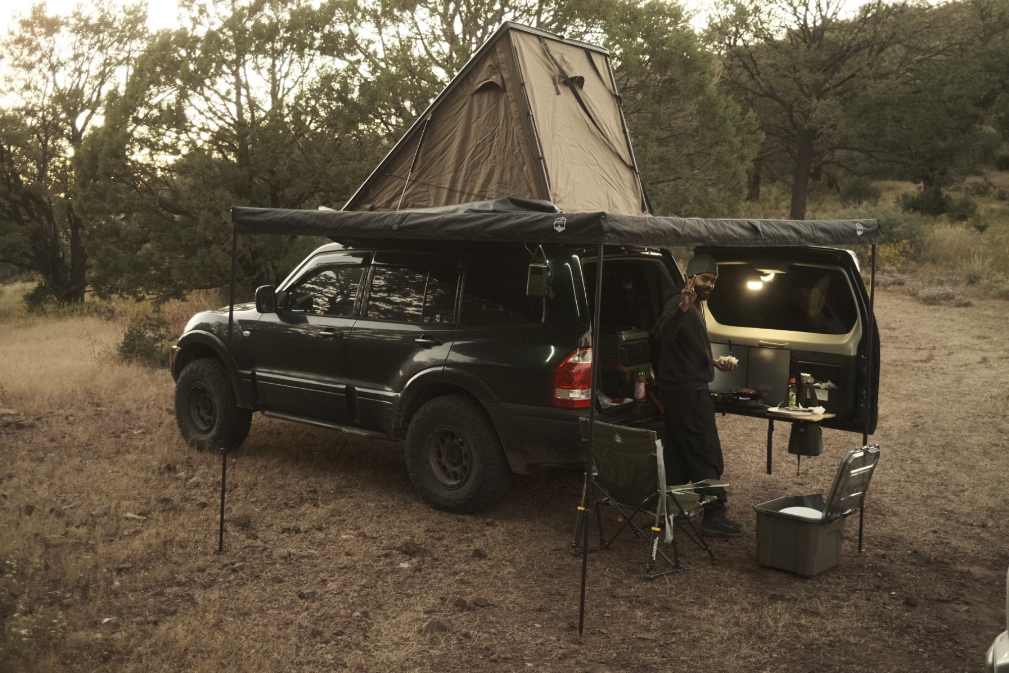
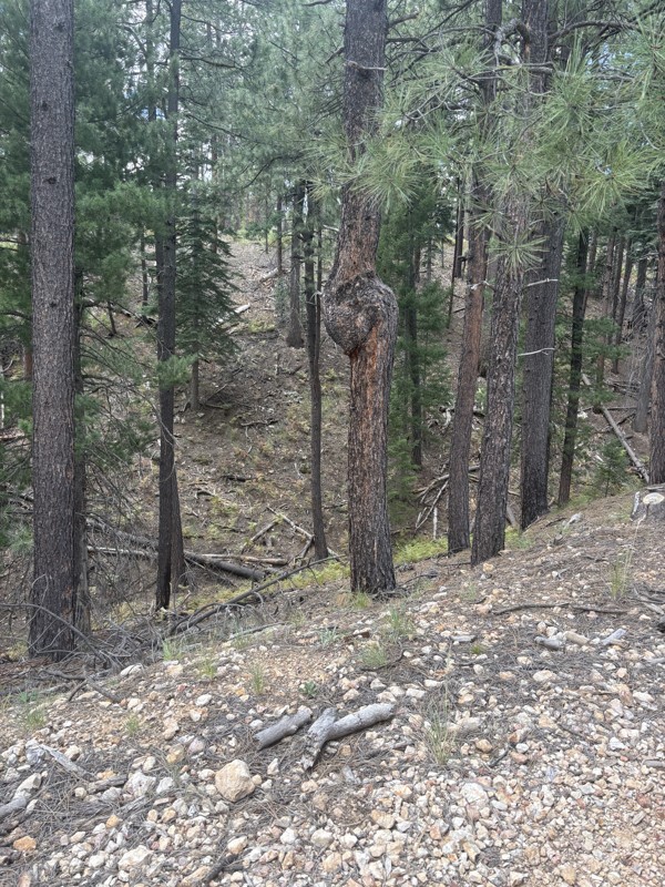
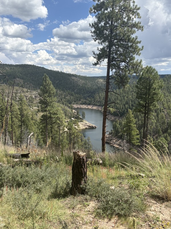
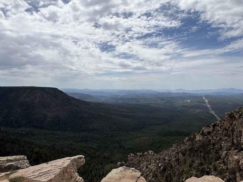
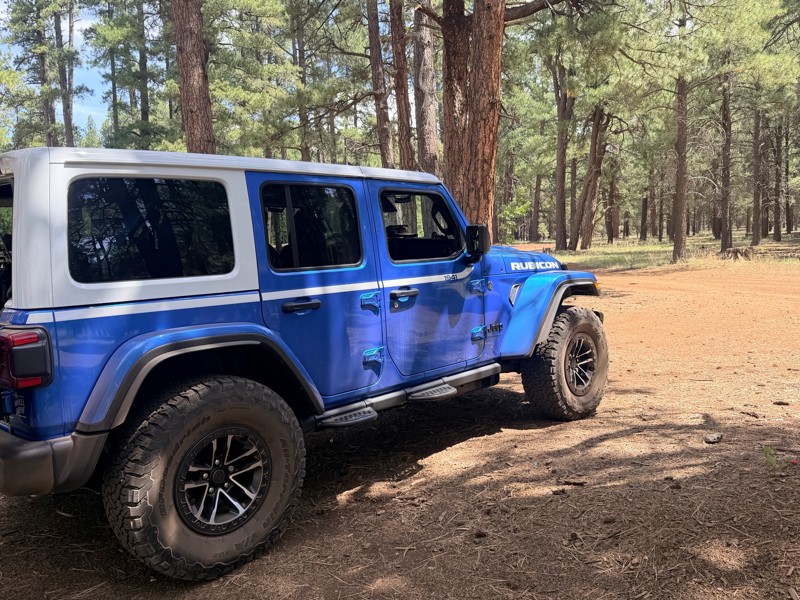
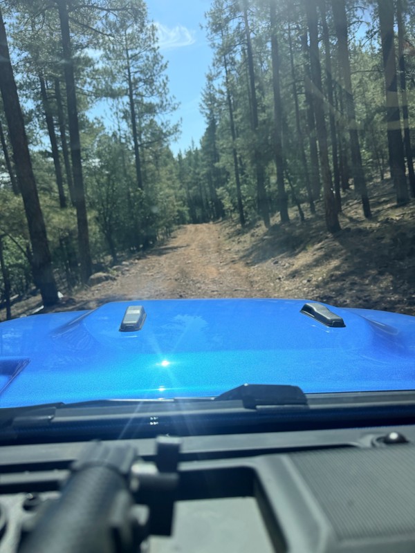
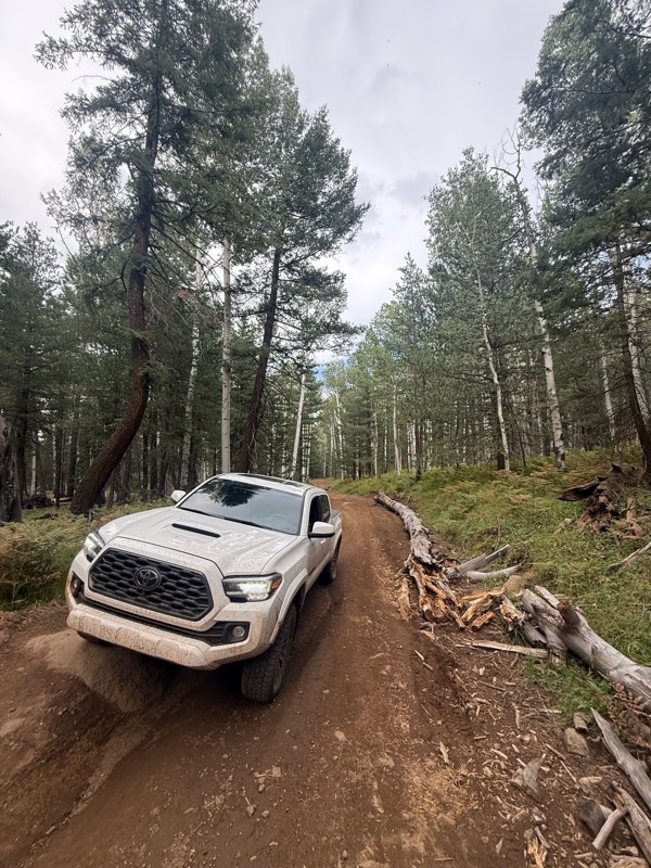
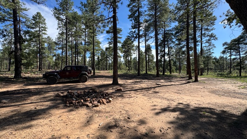
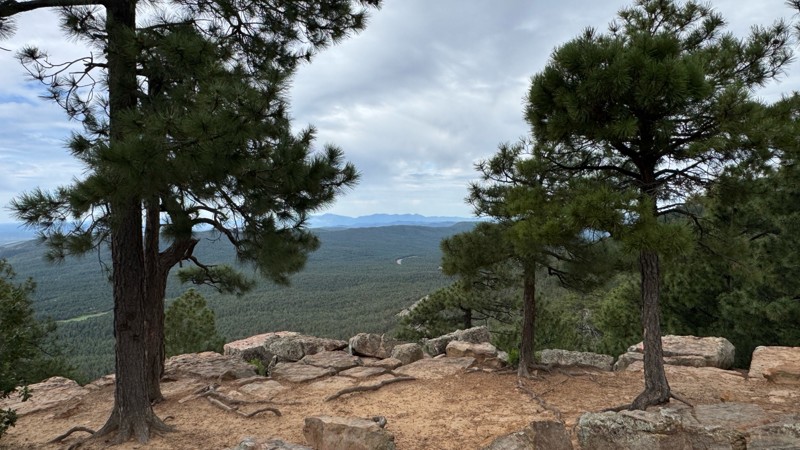
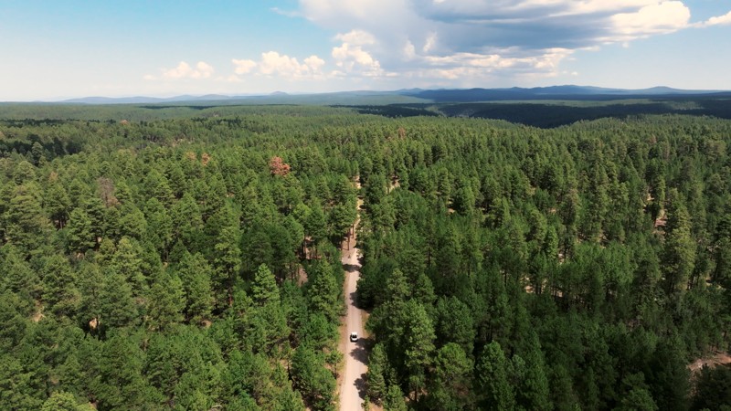
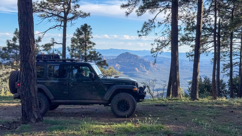
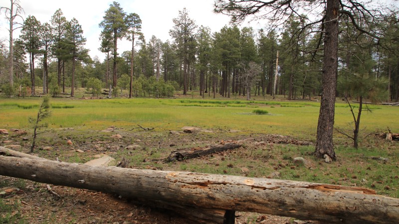
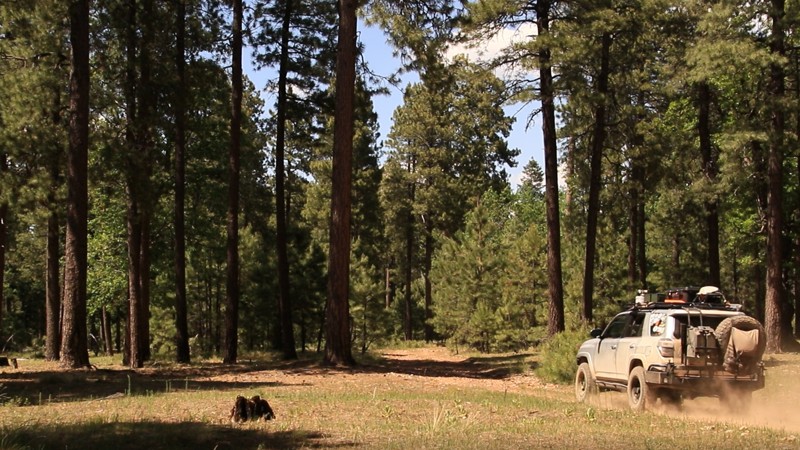
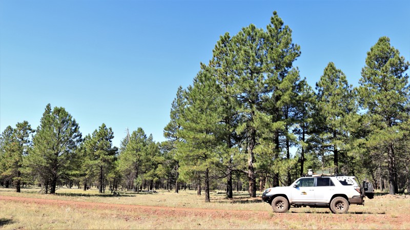
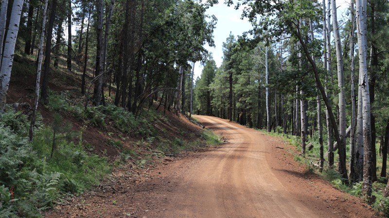
If you're looking to escape the desert heat, the Mogollon Rim (pronounced "MUG-ee-yon") is the perfect retreat for anyone living in the Phoenix metro area. Just a few hours north, this high-elevation destination offers cooler temperatures, stunning views, and access to the largest contiguous Ponderosa pine canopy in the world—ideal for unforgettable overlanding adventures in Arizona.

Explore the Best Overlanding Trails on the Mogollon Rim

The Rim is a natural wonder stretching across central Arizona, known for its towering cliffs, deep forests, and endless trail options. Whether you're in a rugged 4x4 or a fully outfitted overlanding rig, these are the top three overlanding trails near Phoenix:

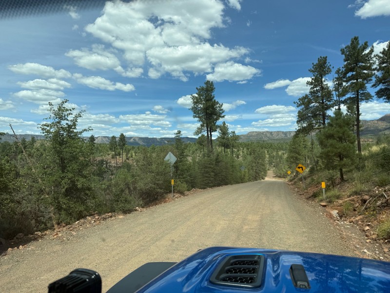
  1. Rim Road (Forest Road 300) One of Arizona’s most scenic drives, Rim Road hugs the edge of the Mogollon Rim for nearly 50 miles. This gravel road offers panoramic views, abundant wildlife, and countless dispersed camping opportunities—all surrounded by towering pines.

  2. FR 153A For a more remote adventure, Forest Road 153A offers a rugged, off-the-beaten-path experience. It winds through meadows and dense forest, perfect for those seeking solitude and a challenge. High-clearance vehicles are recommended.

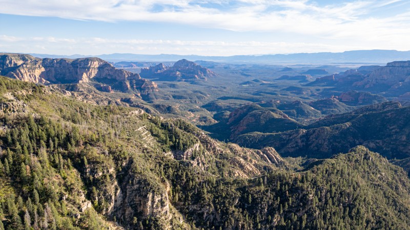
  3. Sycamore Point A short drive off the main routes, Sycamore Point rewards you with sweeping views of Sycamore Canyon—Arizona’s hidden gem. It’s a favorite for sunsets, photography, and quiet reflection.

Plan Your Rim Country Overlanding Adventure

Do not feel limited to just the popular roads and trails. In fact, there are over 900 miles and 80 trails that we have documented, and hundreds of miles of forest service roads left to be explored. You could even overland from Phoenix to Flagstaff if you wanted to! Whether escaping for a weekend or building a longer trip, the Mogollon Rim delivers memorable scenery and ideal overlanding conditions. Before heading out, be sure to check for current fire restrictions and practice Leave No Trace principles. It’s a must-visit for Arizona adventurers looking to trade pavement for pine-scented trails.

Top Reasons to Explore Here

Basemaps
Go All-Access to Unlock


TRAILS OFFROAD™ TRAIL TYPES
Trail Guide
Full detailed write up with Advanced Rating System, Waypoints, Video, and more.
Scout Route
Lite version with highlights, camping, and hardest part documented. Vetted in person.
TRAIL DIFFICULTY RATINGS
easy (1-2)
Suitable for high clearance 2WD
moderate (3-4)
Best suited for a high clearance 4x4
difficult (5-6)
Best suited for a lightly modified 4x4
severe (7-8)
Best suited for a highly modified 4x4
extreme (9-10)
Best suited for specialized buggy type vehicles
LAYERS

Most Recent Trail Reviews

Most Popular

Search for Trails
Arizona: Lonesome Lake Hero Photo
Scout Route Icon
4/5 (2 reviews)
Updated: 08/24/2026

Lonesome Lake

Forest Lakes, Arizona

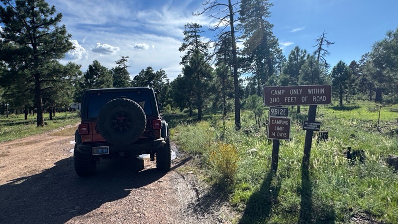
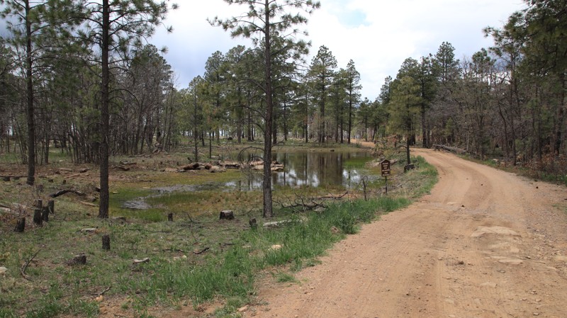
Lonesome Lake, named after its marshy watering hole midway along the trail, has abundant camping.  Camping is free but limited to 14 consecutive days and must be within 300 feet of the road. The road has minor ruts and potholes and ends at a powerline.  The trail beyond has been abandoned but seems to be used by ATVs. 

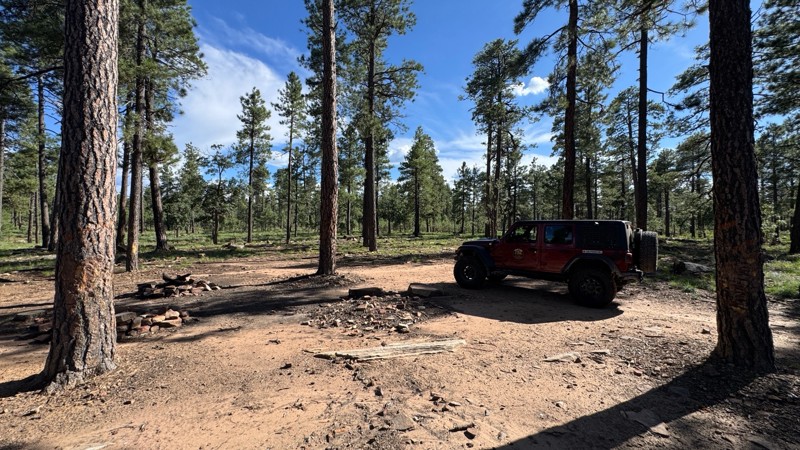
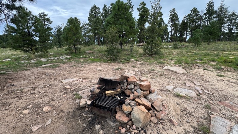
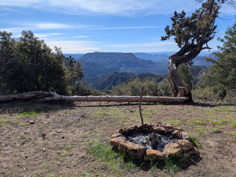
The cool summer temperatures make the Mogollon Rim a popular camping destination.  The campsites range from single tent to large group size.  Most have flat ground and a fire ring. Ravens, squirrels, and elk share the vast Ponderosa pine forest and often make appearances near camp.

Arizona: FR 139C Hero Photo
All-Access Icon
5/5 (3 reviews)
Updated: 06/05/2022

FR 139C

Pine, Arizona

FR 139C is a short jewel of a trail in the Coconino National Forest. The trail runs through a mixed-conifer forest. Besides the ever-present Ponderosa pines, spruce and fir trees stand tall beside the trail. Spruce and fir are rare in Arizona and thrive in very limited locations. Their presence lends a certain Rocky Mountain flavor to the area. The trail briefly runs alongside an unnamed grassy draw with a seasonal stream and a small spring. Look for elk grazing in the draw during the early mornings and late afternoons. The last half of the trail rides atop a wide ridgeline between Merritt Draw on the north and Barbershop Canyon on the south. From the end of the trail, it is easy to see the outline of both canyons merging. The openness of the forest beckons you to stop and take a stroll. Wild raspberries and blackberries flourish in late Summer and early Fall. Picturesque campsites beckon visitors to pitch a tent and stay a while.

Arizona: Colcord Mountain Hero Photo
Scout Route Icon
3/5 (1 reviews)
Updated: 10/15/2024

Colcord Mountain

Hunter Creek, Arizona

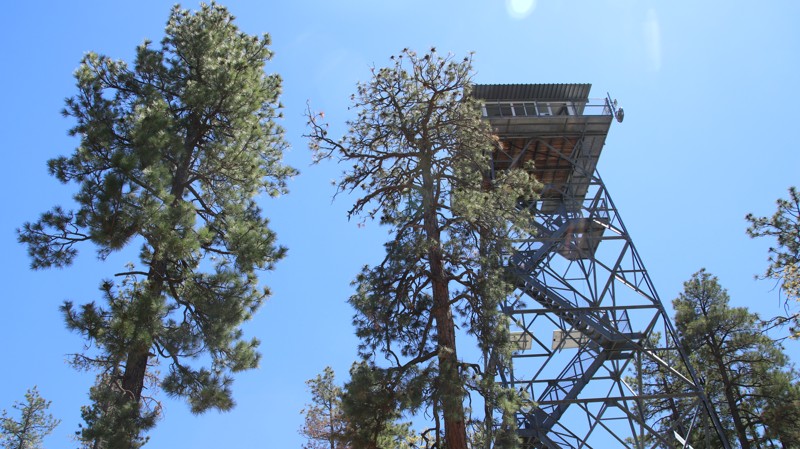
Colcord Mountain begins on Highway 260 and ends on the Young Highway. The trail turns to smooth dirt several miles off Highway 260. It turns sharply south just before the entrance to a residential area. The trail narrows and slowly begins to gain elevation as it passes through a dense Ponderosa pine forest. Approaching Colcord Mountain and its fire tower, the trail ascends steep, deeply rutted switchbacks along a narrow shelf road. The trail is well maintained east of the fire tower. The views are outstanding, but keep your eyes on the trail. A mistake here is fatal. The tower is manned during fire season but usually is not open to the public.

There is limited dispersed camping along the trail due to private property in the west and steep terrain in the east. The best camping is at the trail's eastern end at the free Colcord Ridge Campground, which has vault toilets and picnic tables.

Arizona: Bear Willow Hero Photo
Scout Route Icon
4/5 (1 reviews)
Updated: 10/15/2024

Bear Willow

Christopher Creek, Arizona

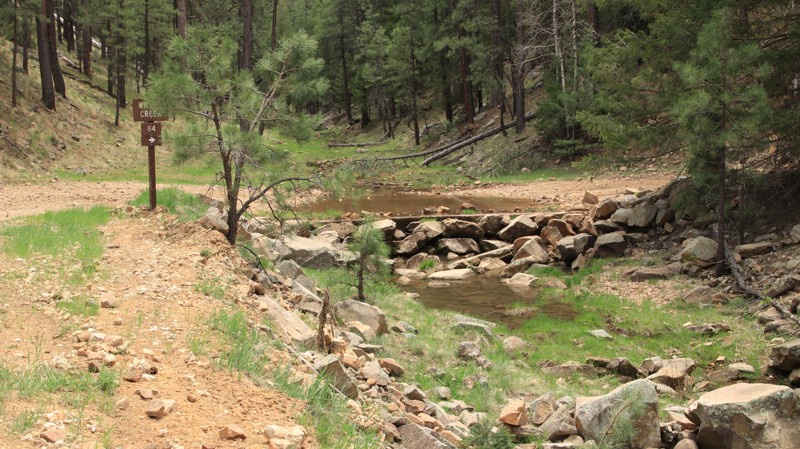
Bear Willow, FR 84, runs south to north from Rim Road to Hart Canyon. Initially, the trail is on a high ridge east of Bear Canyon Lake. Numerous shady campsites are along this section of trail, but you can’t see the lake down in its deep canyon.

In the north, the trail switchbacks on narrow shelf roads steeply down to cross Willow Creek at Pauls Crossing. The trail is mostly packed dirt with a few loose rocks up to fist-sized. The southern portion of the trail is easier than the northern half, but it is still suitable for 2WD vehicles with good tires.

Arizona: FR 513C Hero Photo
All-Access Icon
4/5 (3 reviews)
Updated: 06/05/2022

FR 513C

Pine, Arizona

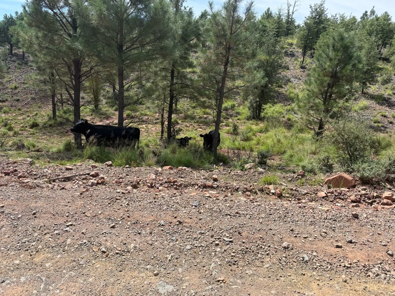
Nestled in a group of interesting side trails on the eastern portion of the vast Coconino National Forest, FR 513C cuts through a deep Ponderosa pine forest. Free-range cattle graze the area in summer. But elk, deer, turkeys, and the occasional black bear also call this forest home. Hancock Tank and several other dammed drainages along the way hold water for all the creatures of the forest. While not far off the pavement, campers and adventurists often overlook this area. FR 513C makes for an fun little drive with fine scenery and enough challenge to hold your interest and make your passenger reach for the grab handle now and then. Combined with the other similar trails nearby, this little gem can be part of a very enjoyable afternoon on the trails without the usual weekend crowds.

Arizona: 9512E Hero Photo
Scout Route Icon
4/5 (2 reviews)
Updated: 08/24/2026

9512E

Forest Lakes, Arizona

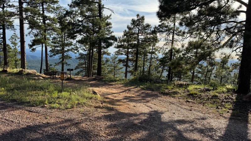
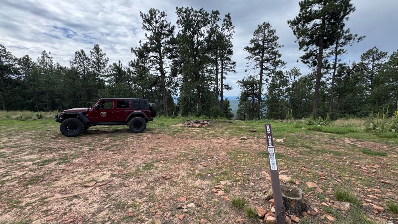
Running parallel to the steep dropoff of the Mogollon Rim, 9512E has dozens of campsites for those seeking escape from the desert’s summer heat among the shady Ponderosa pines. The views southward across central Arizona are inspiring. The largest sites sit at the eastern end near the Young Highway. This area can support very large RV and trailer groups. The sites westward grow smaller but more private, with several still large enough for an RV or full-size camping trailer. The trail ends at a lollipop turnaround with several small rocky campsites with unbeatable views.

The existing trail is poorly depicted on maps but very obvious when driving. The trail is rutted with minor potholes. Be prepared to clear downed pines blocking the trail early in the season.


Arizona: FR 133 Hero Photo
Scout Route Icon
4/5 (1 reviews)
Updated: 10/15/2024

FR 133

Munds Park, Arizona

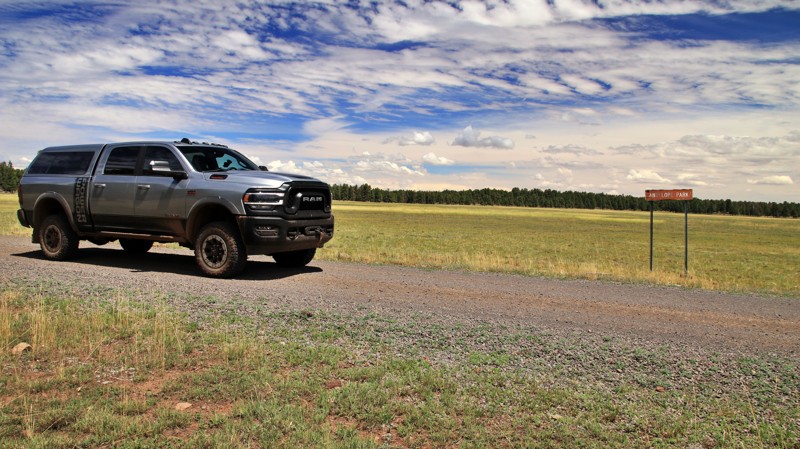
FR 133 runs between Horse Park and Crimson Roads. While most of the trail winds through heavily forested slopes, the northeastern end crosses the wide-open Antelope Park. Here open meadows are called parks. There are several campsites along the western side of the park.

The trail is easy, with no obstacles.

Arizona: FR 9354 Hero Photo
Scout Route Icon
5/5 (1 reviews)
Updated: 10/15/2024

FR 9354

Christopher Creek, Arizona

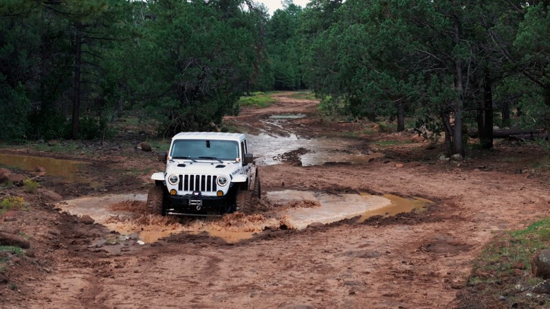
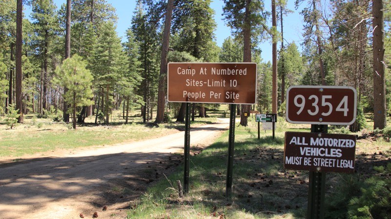
Looping off Rim Road, FR 9354 offers one and a half miles of outstanding camping in a Ponderosa Pine forest. Twenty-seven well-spaced numbered sites offer quiet, shaded campsites with stone fire rings. The narrow forest road has two large mudholes, but otherwise, it is very easy for most rigs, including midsized RVs, campers, and trailers. The ground is suitable for tent camping as well.

Arizona: FR 612 Hero Photo
All-Access Icon
5/5 (3 reviews)
Updated: 06/05/2022

FR 612

Pine, Arizona

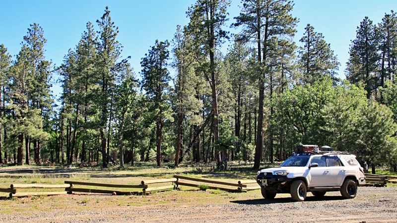
With a massive campsite bordering a picturesque alpine meadow and a pretty little seasonal lake with a sand beach, FR 612 punches way above its weight class. Set in the vast pine woodlands of the Coconino National Forest, this little trail is worth serious consideration. Features include solitude and a natural water feature. A wooden rail fence surrounds a grassy meadow where elk graze in the evenings. The wind sings a soothing melody in the tops of the tall pines. Seriously fantastic campsites await you and your friends. Cool breezes help you forget the desert's summer heat. Yeah, all that does sound like an advertisement for a retirement village in Florida. But it can all be yours for the low price of a tank of gas and an easy drive into Arizona's high country. Seriously, what do you have to lose? Check out FR 612 today. With our complimentary free camping offer, you can't afford to miss this opportunity.

Arizona: Crowley Hero Photo
Scout Route Icon
3/5 (2 reviews)
Updated: 01/04/2025

Crowley

Fort Valley, Arizona

FR193 is a well-maintained connector from US-180 to the Kendrick Mountain road and area. No camping is allowed on this road unless indicated otherwise; the USFS has the areas near US-180 closed to camping due to excessive impacts.

Arizona: Colcord Ridge Hero Photo
Scout Route Icon
5/5 (1 reviews)
Updated: 10/15/2024

Colcord Ridge

Forest Lakes, Arizona

Colcord Ridge is a scenic and easy road running down the face of the Mogollon Rim. The trail boasts three free campgrounds and a fish hatchery along Canyon Creek.

Colcord Ridge Campground is near the western end of the road. It has vault toilets, picnic tables, fire rings, grills, and informational signage. The individual campsites are RV-sized.

Airplane Flat Campground is west of the spring-fed, gurgling Canyon Creek. The large campground is shaded by Ponderosa pines and equipped with vault toilets, picnic tables, fire rings, and grills.  

Just east of Canyon Creek’s one-lane bridge, the Canyon Creek Fish Hatchery is sporadically open to visitors. The road narrows past the hatchery. Upper Canyon Creek Campground is just short of the gated end of the road, with amenities similar to Airplane Flat Campground. The campground is mostly frequented by anglers.  

The road has a few ruts and potholes. There is room to turn around at the gated end just past Upper Canyon Creek Campground. There is very limited dispersed camping along the trail. The campgrounds do not see heavy use, so they make the best option for camping along the trail.
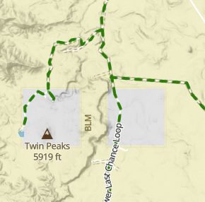
Arizona: Dye Ridge Road Hero Photo
Scout Route Icon
5/5 (1 reviews)
Updated: 10/15/2024

Dye Ridge Road

Christopher Creek, Arizona

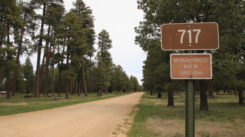
Dye Ridge Road, FR 717, is packed dirt with a few loose rocks and easily driven by any vehicle. Dispersed camping is abundant along the southern portion of the trail, with shaded sites large enough for RVs and large trailers and enough smooth ground for tents. The northern half of the road is almost park-like, with brush and smaller trees crooked for fire prevention and forest management. Spur trails lead out to campsites set well off the main road. 

Arizona: Old 90 Road Hero Photo
Scout Route Icon
4/5 (1 reviews)
Updated: 02/19/2025

Old 90 Road

Parks, Arizona

Old 90 is a straight-through connector road that travels through two national forests. Confusingly, the Kaibab National Forest calls this road KNF90 on its side of the boundary, but the Coconino National Forest calls this road 760A on its maps and labels it 767 with signage on the ground. The road travels west to east and is an occasional scenic drive along Juniper Ridge and Bull Basin Mesa. It is primarily used to access many other forest roads in the area that make up the Kendrick Peak trail system. There are a small number of dispersed mountain view campsites accessible to overlanders on the spur roads such as 128, but no campsites directly on KNF90 itself. In dry conditions, the trail is an easy drive, but during monsoon season it can get quite muddy and may be challenging when snow resides on the ground as well. There are one or two spots on the eastern end of the trail that require high clearance and possibly 4x4 due to ruts created by water runoff.

Arizona: Ohaco Hero Photo
Scout Route Icon
1/5 (1 reviews)
Updated: 10/15/2024

Ohaco

Wiggins Crossing, Arizona

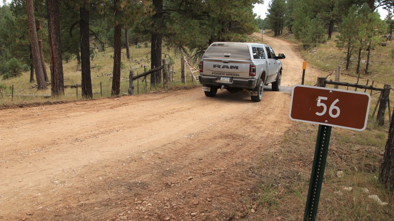
Set in the western portion of the Sitgreaves National Forest, Ohaca, FR 56, is an unremarkable trail through a nice Ponderosa Pine forest and scattered parcels of private property. Named for the fire tower on its western end, Ohaco has minimal dispersed camping and no interesting views. At least it is an easy drive.

Arizona: F301D Hero Photo
Scout Route Icon
4/5 (1 reviews)
Updated: 10/15/2024

F301D

Flagstaff, Arizona

FR301D forms a loop with FR301 from Old Walnut Canyon Road to the Fisher Point trail access. It provides a better alternative during wet weather than FR301, as it does not have as many mudholes and is generally an easier road in soaking wet weather. Please note there is a gate at Walnut Canyon Road; after you pass through, it needs to be closed behind you.  It is unmaintained with ruts, and 4WD maybe necessary.

Camping is not allowed in the FR301 area nor on the north side of Walnut Canyon. 

Arizona: West Chevelon Hero Photo
Scout Route Icon
5/5 (1 reviews)
Updated: 10/15/2024

West Chevelon

Wiggins Crossing, Arizona

West Chevlon, FR 100, runs seven miles from Deer Lake, FR 169, to Wallace, FR 34, crossing Chevlon Canyon at Barts Crossing. The easy trail passes through a park-like open forest with brush and smaller trees cleared for fire prevention and forest management. The switchbacks leading down to Barts Crossing are steep, but the trail retains excellent traction. There are scattered dispersed campsites throughout the trail.
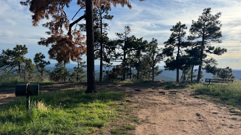
The track includes the FR 101 spur leading to the site of the historic Nagel Logging Camp. Today, the site is used for fall roundups of cattle that graze in the national forest on leases held by the nearby Dye Ranch. However, it makes a great group campsite. There’s a very old outhouse and a water spigot that is sometimes operational.

Arizona: Sunset Crater Pit Hero Photo
Scout Route Icon
4/5 (4 reviews)
Updated: 06/04/2026

Sunset Crater Pit

Timberline-Fernwood, Arizona

Sunset Crater Pit, FS 545B, is a straight-through forest road that parallels Highway 89 just outside Sunset Crater Volcano National Monument. Popular with campers and overlanders, the route follows a hard-packed dirt surface scattered with small volcanic rock and offers numerous dispersed campsites with outstanding views of O'Leary Peak, Robinson Mountain, and Humphreys Peak. The southern half of the trail is generally smoother and more shaded, with several larger campsites suitable for travel trailers, RVs, and extended camp setups. Conditions become rougher on the northern half, where a 2022 wildfire removed much of the vegetation and left the area more susceptible to erosion. Here, drivers can expect sections of exposed volcanic rock up to 8–10 inches in size and washout ruts reaching 10–16 inches deep. While the route remains manageable for most high-clearance vehicles in dry conditions, the roughest campsites and obstacles may challenge lower-clearance SUVs. Campsites in the burn area are large and open but offer little protection from wind, dust, or sun. Whether you're looking for a quick overnight stop or a basecamp for exploring the Sunset Crater region, this trail provides easy access to scenic high-desert camping with mountain views in every direction.

Arizona: FR 752 Hero Photo
Scout Route Icon
4/5 (1 reviews)
Updated: 07/02/2026

FR 752

Mead Ranch, Arizona

FR 752 is a short 5 mile out-and-back trail that ends at a point overlooking Knoll Lake. The first half of the trail is easy with only small rocks to negotiate. The second half of the trail becomes more difficult with larger rocks on the trail to negotiate. There is an optional obstacle on this trail with 3 ledges approximately 18 to 24 inches in height. Multiple camping sites can be found along this trail.
Arizona: FR 305 Hero Photo
Scout Route Icon
3/5 (5 reviews)
Updated: 10/14/2026

FR 305

Happy Jack, Arizona

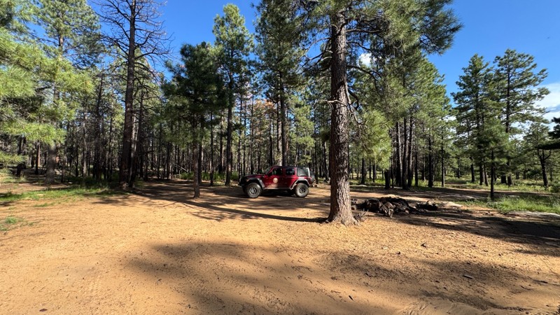
FR 305, located near Happy Jack in Arizona’s Coconino National Forest, is an easy and scenic 4.9-mile forest road that winds through a peaceful landscape of mature ponderosa pines and open meadows. Beginning just south of the Happy Jack Ranger Station, the route gently descends about 700 feet as it contours along Brady Canyon, offering a smooth, well-maintained dirt surface that is typically passable for most vehicles in a variety of conditions. With no significant obstacles, this trail is ideal for casual drivers or those looking for a relaxing cruise through classic high-country terrain, where wildlife sightings such as elk and Abert’s squirrels are common. Along the way, attentive drivers may catch a glimpse of the distinctive white dome of the Discovery Channel Telescope perched in the distance. Ample camping opportunities can be found near both ends of the route and along connecting roads, making FR 305 a perfect choice for a laid-back outing or a quiet overnight stay under the pines.

Arizona: Sheep Springs Pit Hero Photo
Scout Route Icon
4/5 (3 reviews)
Updated: 04/22/2026

Sheep Springs Pit

Munds Park, Arizona

FR 91B is a short but scenic loop in the Coconino National Forest near Sheep Springs, wrapping around a 7,600-foot butte and climbing quickly through a mix of high desert terrain and quaking aspen groves. Beginning just off FR 91, the trail gains about 300 feet in elevation over a half mile, offering a quick transition from open forest to cooler, shaded stands of aspens where wildlife sightings are common, especially near the perennial water source at Sheep Springs. The road surface is primarily hard-packed dirt and gravel, making it suitable for most vehicles, though the climb and occasional loose sections keep things interesting. A spur leads toward a gravel pit where soft slopes attract local ATV use, but the main loop remains straightforward and easy to navigate. While camping isn’t available directly on FR 91B, numerous dispersed sites can be found nearby along connecting forest roads, making this a great quick detour or add-on to a longer forest exploration.

Arizona: FR 124H Hero Photo
Scout Route Icon
3/5 (3 reviews)
Updated: 04/22/2026

FR 124H

Allan Lake Landing, Arizona

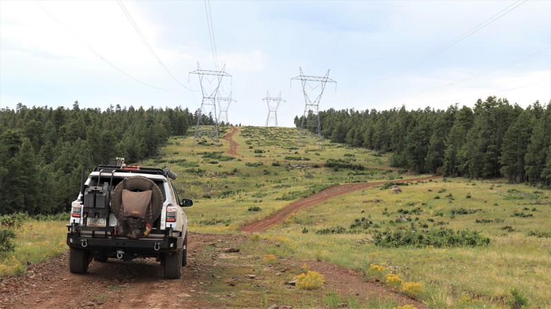
FR 124H, stretching 6.6 miles along the Mogollon Rim in Arizona, is far more than a simple connector between Sawmill Springs and Mahan Ranch. While it loosely follows a powerline corridor, the route delivers a surprisingly scenic and engaging drive, weaving between open clearings with expansive views of rolling high-country terrain and dense stands of ponderosa pine, fir, and spruce. The road itself is primarily packed dirt with embedded rock, featuring frequent dips, curves, and mild elevation changes that keep drivers attentive without being overly technical. The most challenging section comes near the southern end, where a tight switchback leads into a short but steep, rocky climb out of a drainage, requiring careful tire placement and moderate ground clearance. Overall, the trail is suitable for most high-clearance vehicles and offers a rewarding mix of forested solitude, sweeping vistas, and a touch of technical driving, with dispersed camping available near both ends for those looking to extend the experience.