



By clicking "ACCEPT", you agree to be the terms and conditions of each policy linked to above. You also agree to the storing of cookies on your device to facilitate the operation and functionality of our site, enhance and customize your user experience, and to analyze how our site is used.
South Dakota Off-Road Trails
11
Total Trail Guides 9

109
Detailed Waypoints 86
Try a Free 7-Day Trial and unlock it all
Start a Free Trial Most Recent Trail Reviews
No Rating
Open
Visited: 09/22/2026
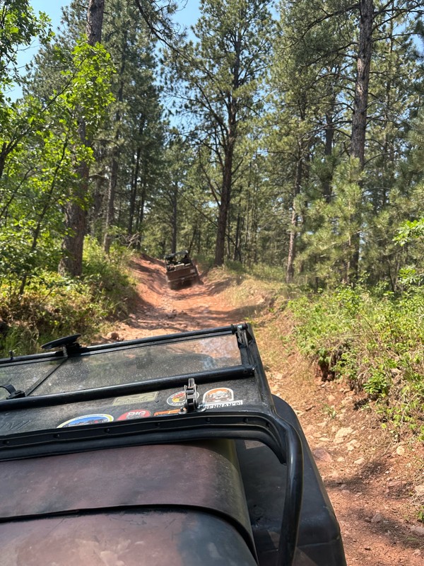
As others mentioned, the trail splits to get around mud holes or for a more scenic view. We did it after a few days of rain and the very last section at the top was too muddy to add more tracks to. I...

DT
Deb Thelen
Rated 5/5
Open
Visited: 09/17/2026
As stated by other, just rough and rocks near the east end, can warm you up for got milk
A
Alex
Rated 5/5
Open
Visited: 09/17/2026
Nice warm up trail for got milk, some bigger rocks sticking out of ground that can rub axles if not careful
A
Alex
Rated 5/5
Open
Visited: 09/17/2026
Only major obstacle was a switch back going up hill, was easier than I thought
A
Alex
Rated 5/5
Open
Visited: 09/16/2026
Came from the north to drive south to get to the retired mine, it was just a maintained gravel road, found minor washboard, had a 2015 gmc Acadia
A
Alex
Rated 5/5
Open
Visited: 09/15/2026
It wasn’t that demanding of trail, pick a good line for tougher rock sections and be no issues,
A
Alex
Rated 5/5
Open
Visited: 09/15/2026
Intersected this trail from FS 028, heading south, sections of rocks, nothing massive, near the southern end of trail there was two options, unsure if official are not, it did appear to be challenging...
A
Alex
Rated 5/5
Open
Visited: 09/14/2026
Went south to north on this trail, would recommend this direction for a more challenging ascent than going north to south. There was just one big rock to go around while climbing up, nothing too diffi...
A
Alex
Rated 5/5
Open
Visited: 09/14/2026
Slightly worse gravel road, a mercury grand marquis could drive it
A
Alex
Rated 4/5
Open
Visited: 08/29/2026
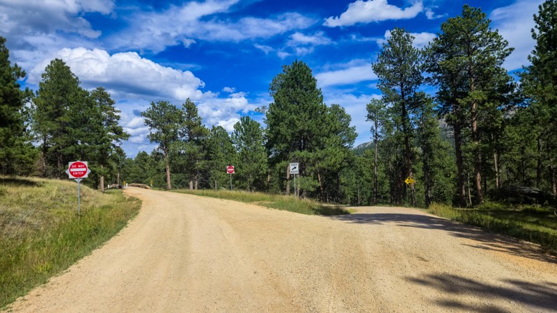
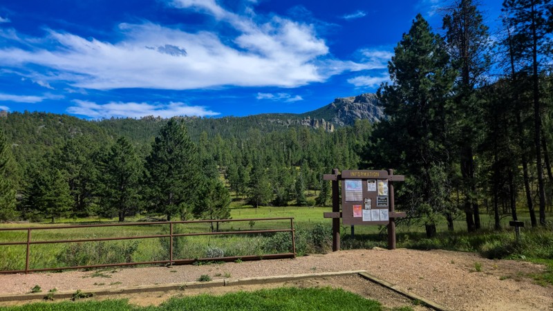
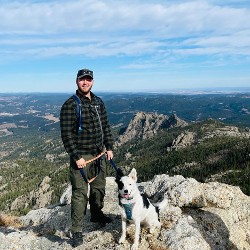
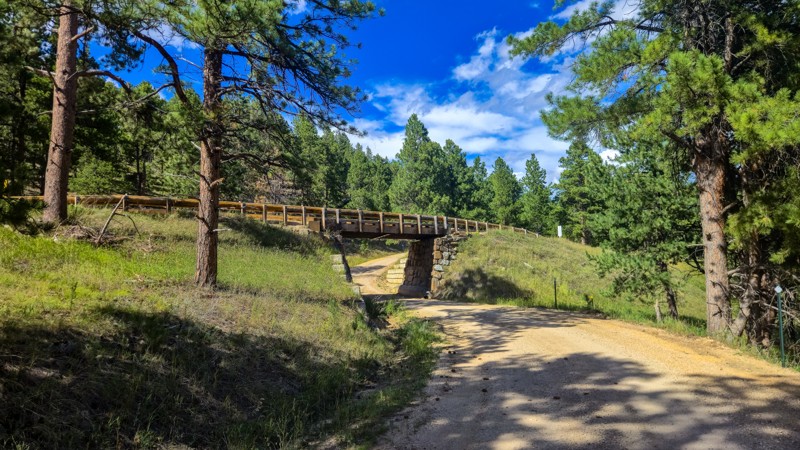
I love driving Palmer Creek Road. It's mellow and so scenic and I find the bridge and rock split neat features that they did not have to include. Make sure to stop and find the Harney Watchtower at ...
Dalton Santana
Official Crew
Rated 3/5
Open
Visited: 08/14/2026
This road has been recently graded and is now pretty smooth the whole way. The water crossing and rocky steps are gone now.
Dalton Santana
Official Crew
No Rating
Open
Visited: 08/11/2026
Per the MVUM, the trail is seasonally open. As always, check current fire restrictions/closures before venturing out.

Trails Offroad
Official Crew
No Rating
Open
Visited: 08/11/2026
Per the MVUM, the trail is seasonally open. As always, check current fire restrictions/closures before venturing out.
Trails Offroad
Official Crew
No Rating
Open
Visited: 08/11/2026
Per the MVUM, the trail is seasonally open. As always, check current fire restrictions/closures before venturing out.
Trails Offroad
Official Crew
No Rating
Open
Visited: 08/11/2026
Per the MVUM, the trail is seasonally open. As always, check current fire restrictions/closures before venturing out.
Trails Offroad
Official Crew
No Rating
Open
Visited: 08/11/2026
Per the MVUM, the trail is seasonally open. As always, check current fire restrictions/closures before venturing out.
Trails Offroad
Official Crew
No Rating
Open
Visited: 08/11/2026
Per the MVUM, the trail is seasonally open. As always, check current fire restrictions/closures before venturing out.
Trails Offroad
Official Crew
No Rating
Open
Visited: 08/11/2026
Per the MVUM, the trail is seasonally open. As always, check current fire restrictions/closures before venturing out.
Trails Offroad
Official Crew
No Rating
Open
Visited: 08/11/2026
Per the MVUM, the trail is seasonally open. As always, check current fire restrictions/closures before venturing out.
Trails Offroad
Official Crew
No Rating
Open
Visited: 08/11/2026
Per the MVUM, the trail is seasonally open. As always, check current fire restrictions/closures before venturing out.
Trails Offroad
Official Crew
No Rating
Open
Visited: 08/11/2026
Per the MVUM, the trail is seasonally open. As always, check current fire restrictions/closures before venturing out.
Trails Offroad
Official Crew
No Rating
Open
Visited: 08/11/2026
Per the MVUM, the trail is seasonally open. As always, check current fire restrictions/closures before venturing out.
Trails Offroad
Official Crew
No Rating
Open
Visited: 08/11/2026
Per the MVUM, the trail is seasonally open. As always, check current fire restrictions/closures before venturing out.
Trails Offroad
Official Crew
No Rating
Open
Visited: 08/11/2026
Per the MVUM, the trail is seasonally open. As always, check current fire restrictions/closures before venturing out.
Trails Offroad
Official Crew
No Rating
Open
Visited: 08/11/2026
Per the MVUM, the trail is seasonally open. As always, check current fire restrictions/closures before venturing out.
Trails Offroad
Official Crew
No Rating
Open
Visited: 08/11/2026
Per the MVUM, the trail is seasonally open. As always, check current fire restrictions/closures before venturing out.
Trails Offroad
Official Crew
No Rating
Open
Visited: 08/11/2026
Per the MVUM, the trail is seasonally open. As always, check current fire restrictions/closures before venturing out.
Trails Offroad
Official Crew
No Rating
Open
Visited: 08/11/2026
Per the MVUM, the trail is seasonally open. As always, check current fire restrictions/closures before venturing out.
Trails Offroad
Official Crew
No Rating
Open
Visited: 08/11/2026
Per the MVUM, the trail is seasonally open. As always, check current fire restrictions/closures before venturing out.
Trails Offroad
Official Crew
No Rating
Open
Visited: 08/11/2026
Per the MVUM, the trail is seasonally open. As always, check current fire restrictions/closures before venturing out.
Trails Offroad
Official Crew
No Rating
Open
Visited: 08/11/2026
Per the MVUM, the trail is seasonally open. As always, check current fire restrictions/closures before venturing out.
Trails Offroad
Official Crew
No Rating
Open
Visited: 08/11/2026
Per the MVUM, the trail is seasonally open. As always, check current fire restrictions/closures before venturing out.
Trails Offroad
Official Crew
No Rating
Open
Visited: 08/11/2026
Per the MVUM, the trail is seasonally open. As always, check current fire restrictions/closures before venturing out.
Trails Offroad
Official Crew
No Rating
Open
Visited: 08/11/2026
Per the MVUM, the trail is seasonally open. As always, check current fire restrictions/closures before venturing out.
Trails Offroad
Official Crew
No Rating
Open
Visited: 08/11/2026
Per the MVUM, the trail is seasonally open. As always, check current fire restrictions/closures before venturing out.
Trails Offroad
Official Crew
Rated 3/5
Open
Visited: 08/01/2026
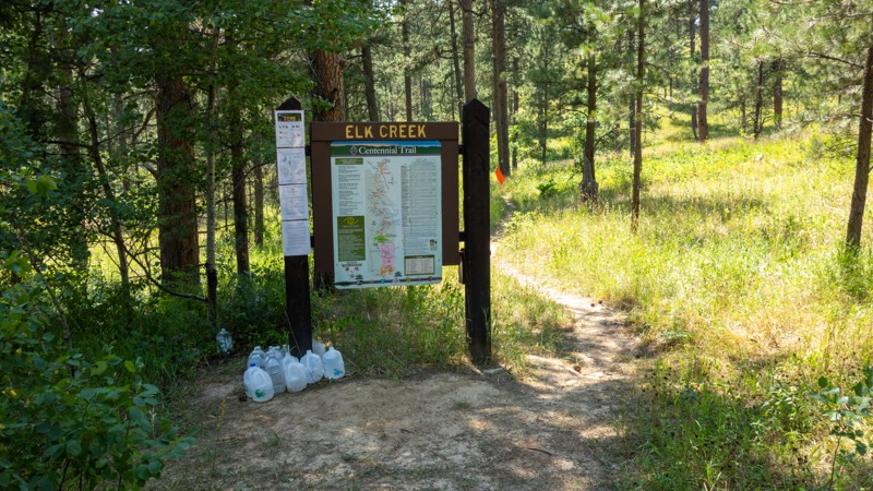
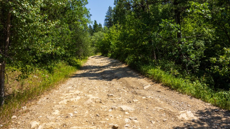
I found the "Grand Canyon of the Black Hills" a bit underwhelming, as it is difficult to get a good view of it through the trees. The walk down was steep and rocky and had obviously been driven by ve...
Dalton Santana
Official Crew
Rated 4/5
Open
Visited: 08/01/2026
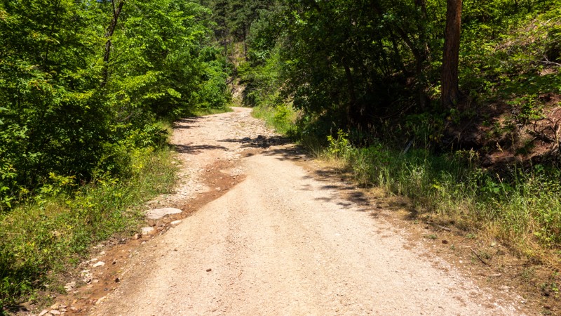
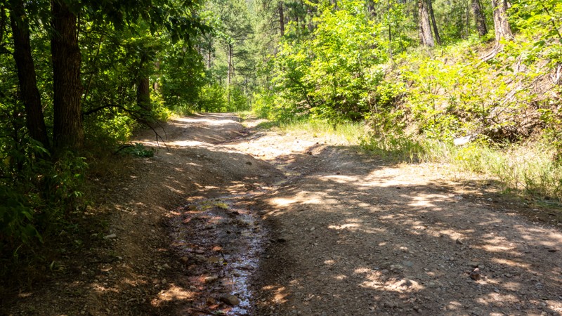
Bethlehem Road is a nice little gem of a trail. It can be deceiving if you are not prepared for the rock fields, as the rest of the trail is pretty easy going. The waterfall was pretty thin during t...
Dalton Santana
Official Crew
Rated 3/5
Open
Visited: 08/01/2026
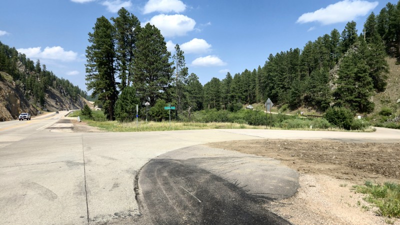
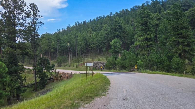
Calumet Road is well maintained, and the route itself does not provide any challenge, but it's a good cut across to get off the pavement and access to the lake and campground is very useful.
Dalton Santana
Official Crew
Dalton Santana
Official Crew
Rated 5/5
Open
Visited: 07/22/2026
We did this trail in stock flat fender Willys with Lockers. Awesome trail.
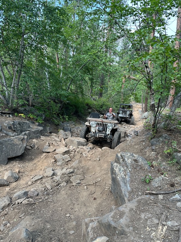
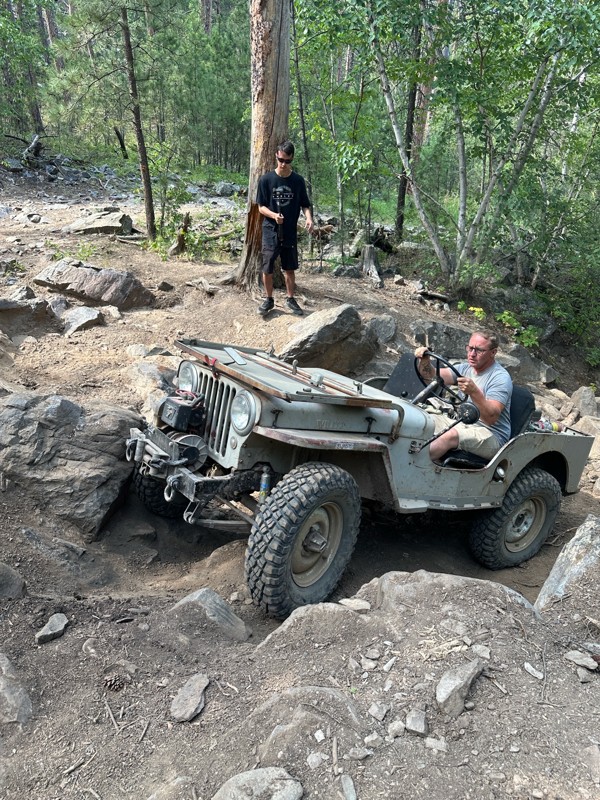
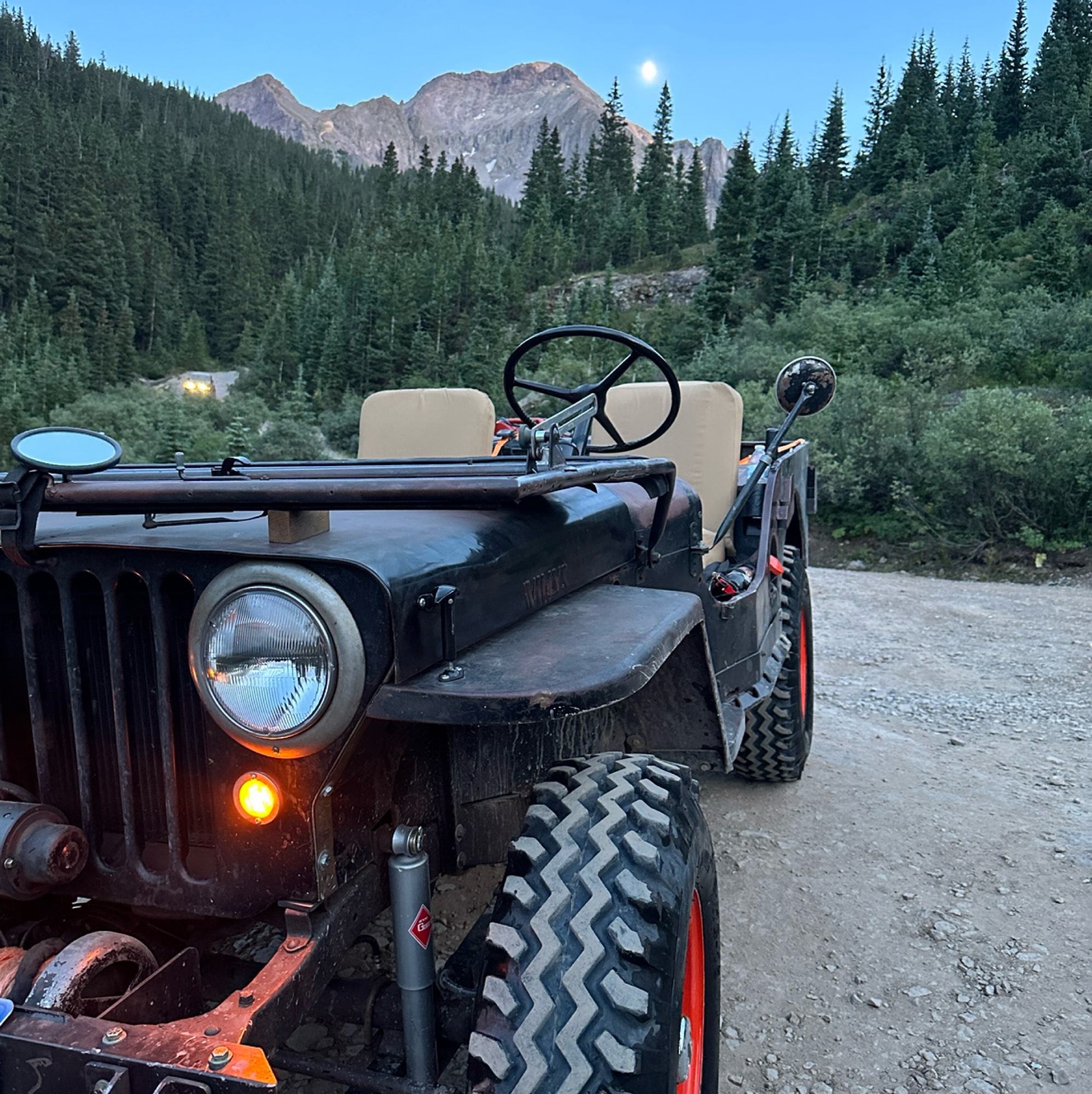
Mark Hansen
Mark Hansen
No Rating
Open
Visited: 07/20/2026
Ran this in my Stocker
Locker Willys on 7.50-16 tires. Had to winch once. Trail
Is extreme. Expect body damage. Bent my windshield. Bent my fuel filler. Rubbed my rockers skid plates.
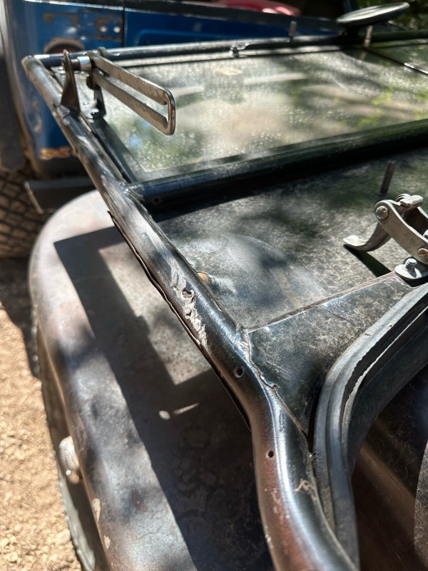
Mark Hansen
Rated 3/5
Open
Visited: 07/04/2026
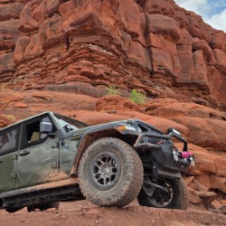
Easy run. had hopes it would open up for a scenic look. it really didnt. but we did not do the full east loop.
Joe
Rated 5/5
Open
Visited: 07/04/2026
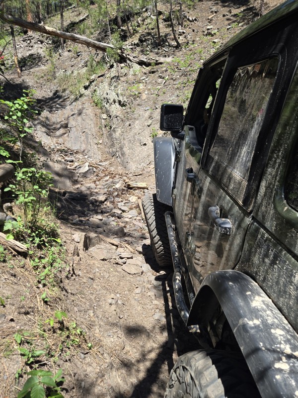
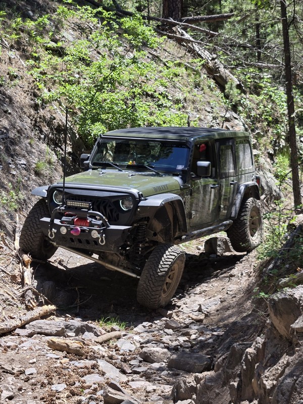
Great trail, had fun running this tight windy rough steep climb. has some surprises, tight turns, bigger rocks.
Joe
Joe
Rated 5/5
Open
Visited: 07/04/2026
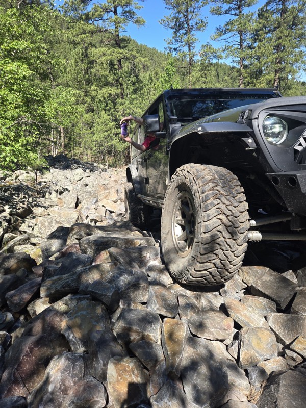
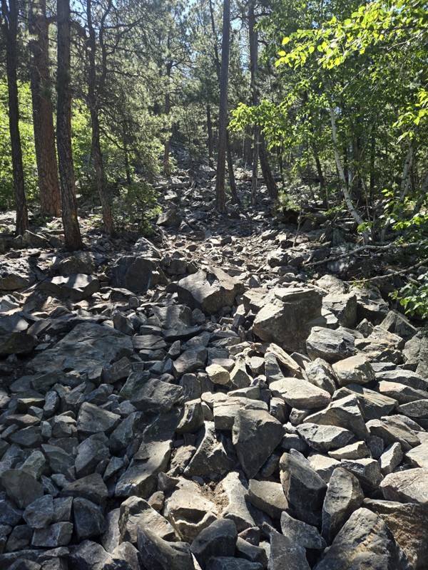
Tougher demanding trail. pay attention to everything. absolute blast to do. technical in spots. know your rig, watch for trees. The description is close. it's a serious Badge of Honor Trail. not...
Joe
Most Popular

Updated: 08/11/2025
Kelley Spur Road
Novak, South Dakota
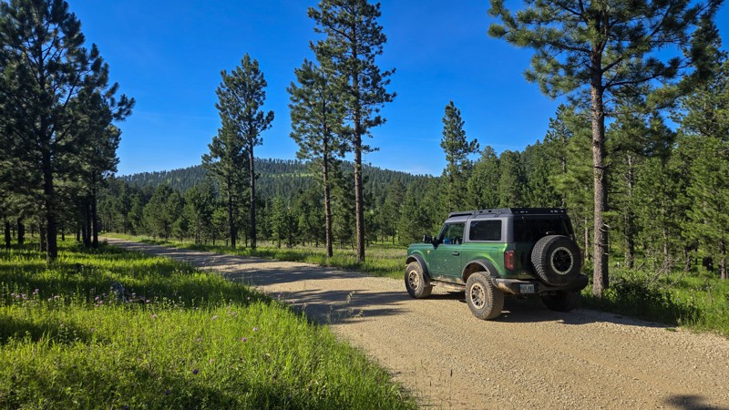
Kelley Spur Road, sometimes marked as Kelly Spur Road, is a well-graded gravel road located on Vanocker Canyon Road between the town of Nemo and the city of Sturgis. It can be traversed by most vehicles and has no notable obstacles. Kelley Spur Road connects Vanocker Canyon Road to Old Ridge Road and allows access to numerous other forestry roads and trails. It offers views of the thick pine forests of the northern Black Hills.
There are few camping options along this road. There is a notable pull-off near the Vanocker Road entrance, which would allow one or two vehicles to park if needed. Dalton Lake Campground is nearby on Dalton Lake Road to the east and offers a more established area for groups and trailers.
Updated: 08/11/2026
Moses Bypass
Galena, South Dakota
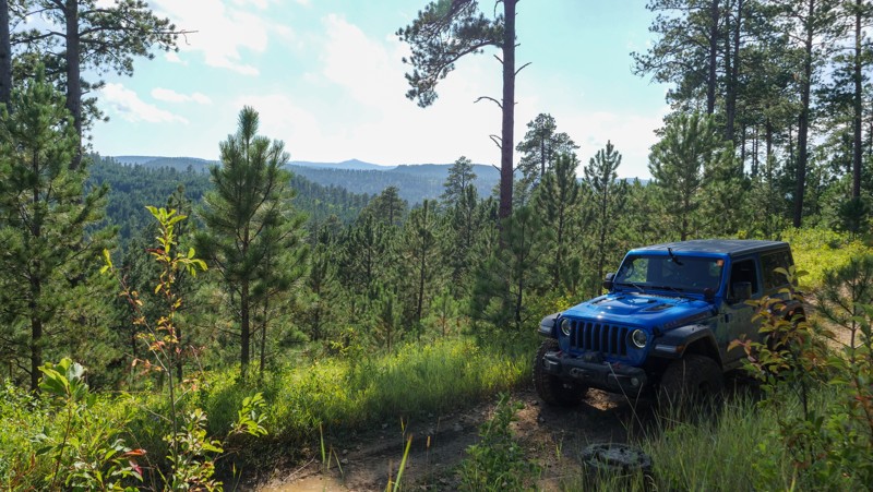
Not feeling up to the challenge of Moses Hill and looking for an alternate route to travel on? This short bypass is an easy trail that skirts around the base of Moses Hill and is suitable for any high-clearance 2WD vehicle or AWD vehicle. This would make a great option to avoid the steep, loose pitches of Moses Hill, but still get you to where you need to go if you are offroading/overlanding in this area. Use caution after rainfall, as a few of the turns can have pockets of mud. There are no campsites along this trail.
This is an MVUM trail (not a road) and requires the purchase of a permit (linked above) to legally travel.
Updated: 08/11/2026
Long Run
Rockerville, South Dakota
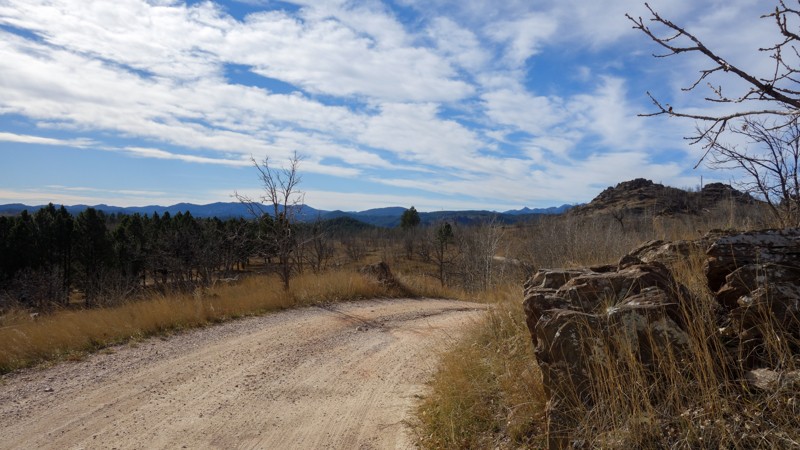
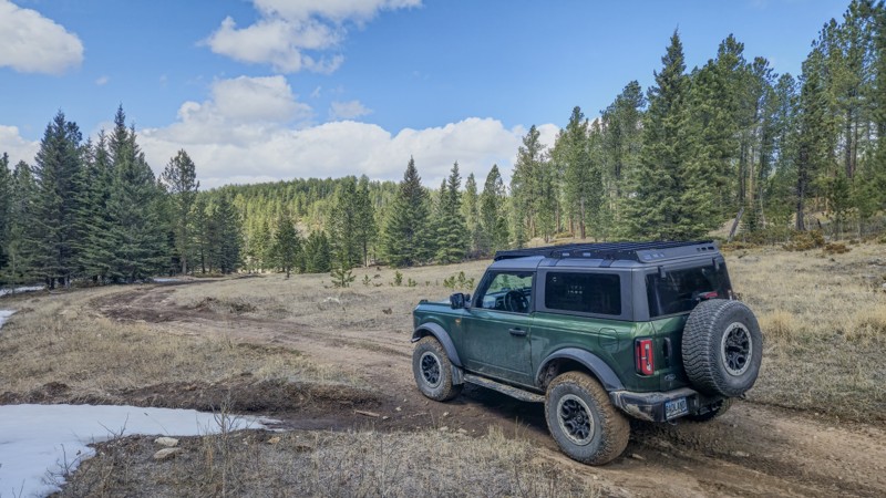
Long Run is a seasonal, 4.5-mile rough dirt forest road spanning between South Rockerville Road, south of the town of Rockerville, to Pine Grove (FS718). Users can expect rough dirt with loose rock up to grapefruit size and flat embedded rocks less than 8 inches tall. Long Run is suitable for any stock SUV with moderate ground clearance.
Long Run has one small clearing off the side of the road, near its intersection with FS718.1B, which has space for a vehicle or two to park and camp. The first mile or so of Long Run from South Rockerville Road doubles as a driveway to a local residence, so remember to Tread Lightly.
Updated: 05/21/2025
Ditch Creek 08
Crazy Horse, South Dakota
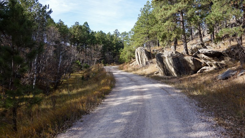
Ditch Creek 08 is a short, rough dirt connector trail between William's Draw and Ditch Creek Road. It can be accessed from either road near their intersections with Six Mile Road. It is open year round and requires a Black Hills Trail Permit. This trail offers views of the Black Hills National Forest and is a common area to spot elk. Ditch Creek 08 is suitable for any stock 4x4 vehicle or AWD vehicle with moderate clearance. Users should expect rough dirt, with small ruts and embedded rock.
Ditch Creek 08 has no established camping spots, however camping can be found on Ditch Creek Road at the Ditch Creek Campground.
Updated: 11/14/2025
Teepee Gulch
Keystone, South Dakota
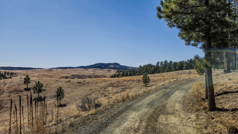
Teepee Gulch is a nearly 6-mile-long, year-round dirt forest road connecting South Rockerville Road to Highway 16. It also provides access to one end of the Battle Creek trail. Teepee Gulch has been recently graded and is suitable for any SUV or truck.
Teepee Gulch has one spur, leading near Tepee Peak; however, this branch dead-ends against private property. The peak can be reached on foot, but there is no designated path. There are several clearings suitable for vehicle or tent-based camping along Teepee Gulch
Updated: 03/25/2025
Nik Ranch
Johnson Siding, South Dakota
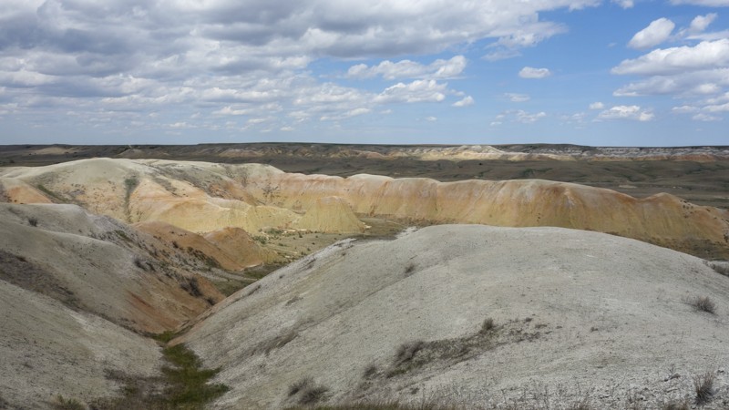
Nik Ranch is a short, roughly graded dirt road in the Bald Hills area of the Black Hills south of Pactola Lake. It is open yearlong and is generally accessible to most vehicles with moderate ground clearance. Visitors can expect small embedded rocks on the eastern half of the path, small mud puddles when wet, and some easily avoided ruts.
Nik Ranch connects Bald Hill / Taylor Ranch Road and Victoria Lake Road. At the west end, Nik Ranch intersects with Taylor Ranch Road at Forestry Road 160.2A and 160.1. This section displays rolling, treeless hills not usually found in this area. Eastward travelers will enter the pine forest and descend toward Victoria Lake Road just west of the Brush Creek Trailhead.
Nik Ranch has no designated camping spots, however, dispersed camping is allowed in the Black Hills National Forest and there are ample flat, bare spots on the edges of the road. Open campfires are not allowed in the Black Hills National Forest.
Updated: 05/28/2026
Sage Creek 7146
Scenic, South Dakota
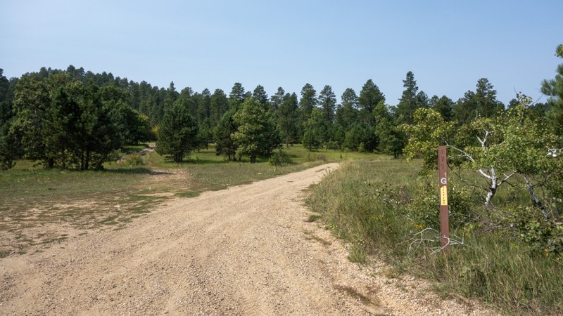
Sage Creek Forest Road 7146 is a short, easy trail off Sage Creek Road just northeast of the small town of Scenic. Sage Creek 7146 starts at a gated barbed wire fence, so remember to leave the fence as you found it. This trail, when dry, can be traversed by most vehicles and is mostly rough dirt with some small potholes, climbs, and slightly off-camber sections. This trail terminates on private property, but there is no signage to indicate the border. Be sure to monitor your map to avoid trespassing.
Those visiting Sage Creek FS 7146 will see views of the Badlands of South Dakota and local wildlife, including American Pronghorn, Prairie Dogs, and Burrowing Owls. Rock hunting is popular in this area as well. About midway through the trail is a large clearing suitable for multiple vehicles or campers. Like other trails in this area, the high-clay-content soil becomes slick and sticky when wet and is best avoided.
Updated: 08/11/2026
Lost Gulch Branch 1G
Boulder Canyon, South Dakota
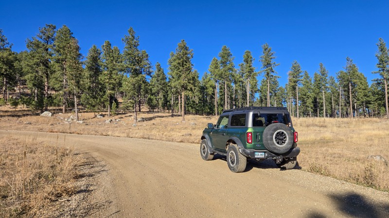
Lost Gulch Branch 1G is a short out and back trail on the northern end of the Camp 5 trail system. It is mostly rough dirt with some small embedded rock and mild ruts. It offers a large number of camping spots near the entrance, as well as a handful of smaller spots throughout.
Lost Gulch Branch ends at a turn-around near the entrance to a private mining claim. The road does go on, but the official trail does not, and the road is likely just access to the claim. This route would be accessible to any 4x4 or AWD SUV, as well as smaller campers.
Updated: 12/02/2025
Boulder Hill
Rockerville, South Dakota
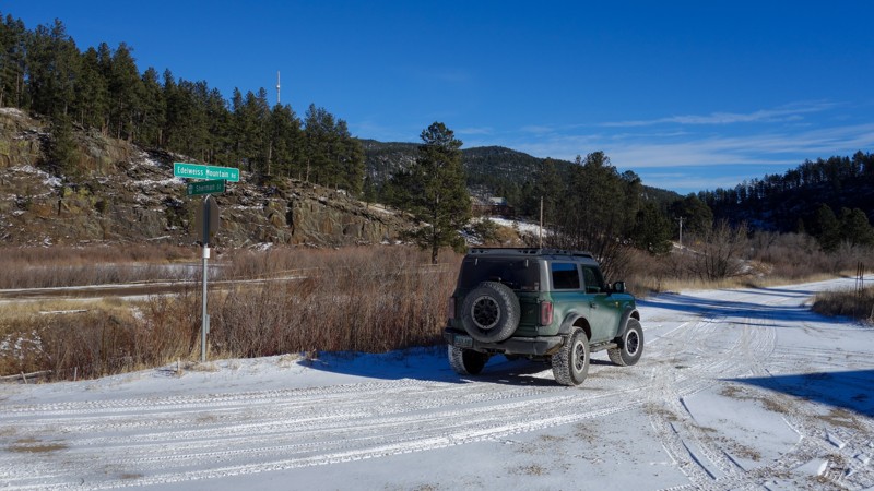
Boulder Hill is a year-round, gravel forest road bridging Highway 16 to Sheridan Lake Road in the Black Hills. It can be accessed south of Rapid City on either of these roads. It is well-maintained and accessible by any vehicle. Boulder Hill also provides access to the Boulder Hill section of the Flume Hiking Trail.
Boulder Hill offers multiple small pull-outs suitable for camping along its path, suitable for one or two vehicles. There is also one large clearing near the Sheridan Lake Road side, which can accommodate several large vehicles or groups.
Boulder Hill's spur, 358.1H, provides access to private property and has no sights or obstacles to see.
Updated: 01/23/2026
Edelweiss Mountain Road
Silver City, South Dakota
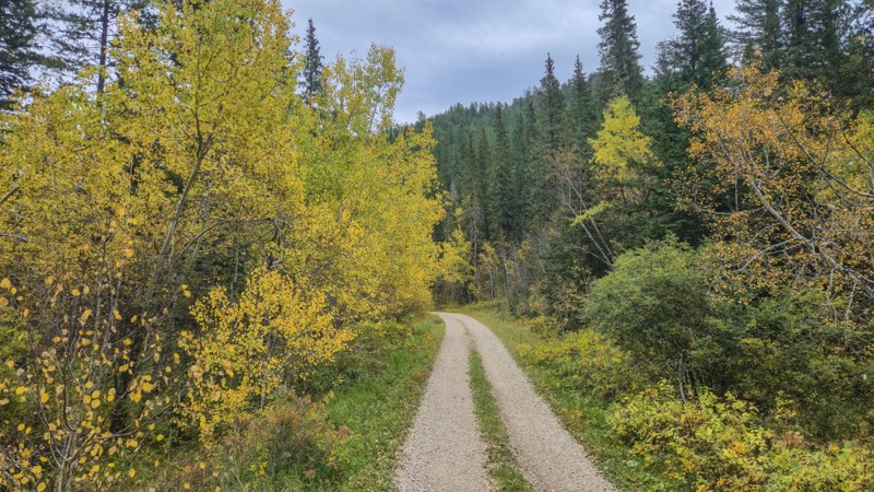
Edelweiss Mountain Road is a graded dirt and gravel road spanning from Silver City to the south side of the Pactola Reservoir. It is just over seven miles long and open year-round. This road can be travelled by passenger cars and any truck or SUV. When traveling west to east, users will start on graded dirt, which will transition to gravel near the start of the Pactola Estates housing development. Travel from this point is through a neighborhood, and users should Tread Lightly.
Edelweiss Mountain Road has a few pull-offs and gated, defunct trailheads, which would allow a vehicle to stop for the night. It also provides access to China Gulch and Bear Gulch, which ends at the seasonal Bear Gulch Campground.
Updated: 10/22/2025
Kelly Gulch
Merritt, South Dakota
Kelly Gulch is a peaceful, rough dirt forestry road near Silver City in the Black Hills. It can be accessed by taking Jenny Gulch Road north from Silver City Road. Kelly Gulch Road terminates in a small parking area with access to the Kelly Gulch hiking trail and the Deerfield hiking trail.
Kelly Gulch has several creek crossings improved with pavers; however, a few pavers have buckled up. This road can be traversed by any stock SUV and most high-clearance crossovers. Fall colors are abundant along Kelly Gulch Road and the surrounding area, and Christmas ornaments can be found on several of the trees as you drive deeper into the gulch.
One large clearing at the intersection of Kelly Gulch and Banner Gulch would allow two or three vehicles to camp. The parking area near the hiking trailhead at the end of the gulch would also allow two or three vehicles to stop for the night.
Updated: 05/07/2025
Veteran's Peak
Bethlehem, South Dakota
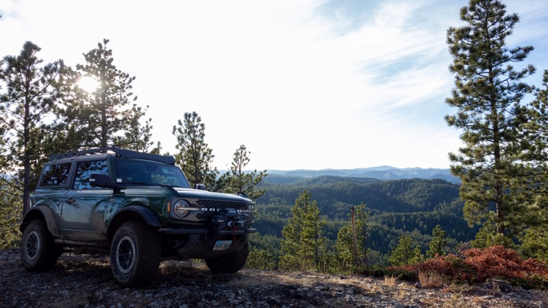
Veteran's Peak is a yearlong, short, rough dirt road with small embedded and loose rock, just off Vanocker Canyon Road on East Rim between Nemo and Sturgis. Veteran's Peak can be traversed by a stock truck, SUV, or crossover. In winter, Veteran's Peak can gather snow and become precarious due to the narrow trail with a steep bank on one side.
Veteran's Peak has two small clearings on the sides of the road suitable for a single ground or vehicle-based tent. If you need more camping space, you can find it further down the East Rim. Veteran's Peak offers vistas of the surrounding Black Hills and a glimpse of Bear Butte through the trees to the north.
Updated: 09/23/2026
Captain Crunch Access
Johnson Siding, South Dakota
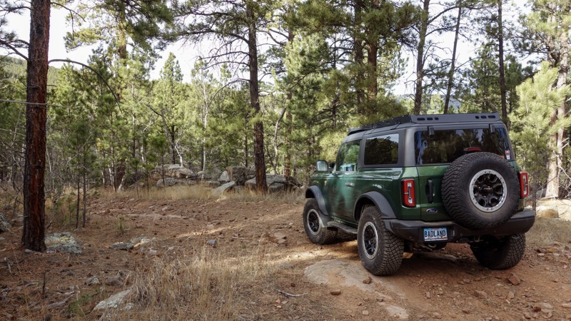
This trail, consisting of FS 6312 and FS 6318, provides access to the Captain Crunch and Got Milk rock crawling trails. It can be found in the aptly named Cereal Bowl area off Bogus Jim Road. This access trail is best navigated by 4WD vehicles with high clearance. Undercarriage damage is possible without careful line choices.
After branching from Hat Mountain, FS 6312 quickly becomes rocky and rutted. Near its intersection with the Bogus Jim Branch 1 (FS 6303), there is a large rocky step-down. As users continue downhill on FS 6312, there will be large, loose rocks up to basketball size. Continue straight through an intersection with Got Milk before reaching the end of Captain Crunch and the transition to 6318. FS 6318 features embedded rock as well, but the loose rocks are significantly smaller than was previously encountered. This trail ultimately ends at an intersection with Hat Mountain trail.
The Captain Crunch Access trail has forest on either side, with no suitable camping areas.
Updated: 07/06/2026
Hat Mountain
Johnson Siding, South Dakota
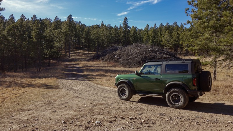
Hat Mountain is a year-round, rough dirt trail near Bogus Jim Road. It starts near the intersection of the Fruity Pebbles rock-crawling trail and Fruity Pebbles Bypass. Hat Mountain can be tackled by any SUV or truck with moderate ground clearance; however, it can only be accessed via Fruity Pebbles, the Fruity Pebbles Bypass, or by the Cereal Bowl Bypass, which are all more difficult than Hat Mountain.
This trail ends with a loop around the trail's namesake, Hat Mountain. While there is no trail to the peak, users can park along the loop and walk up, should they choose to do so.
There are no designated camping locations on Hat Mountain, but several areas along the trailside are wide enough to support tents or vehicle-based camping.
Updated: 06/10/2026
Mickey
Piedmont, South Dakota
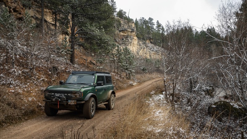
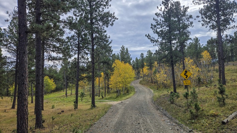
Mickey is a four-and-a-half-mile, seasonal forest road off Rolling Hills Road, which can be accessed from Nemo Road. It is mostly rough dirt, with some small rocks and ruts. It can be traversed by any truck or SUV with moderate clearance.
There is no place to camp, but Mickey does offer forest views of the northern Black Hills, including rock features and wildlife. There are no camping locations along Mickey. Located midway through Mickey, Stagebarn (FS 148) can be used to connect to the town of Blackhawk via Brownie (FS 126)
Updated: 10/22/2025
Jenny Gulch Road
Merritt, South Dakota
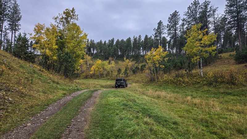
Jenny Gulch Road is a four-mile connector between Rochford Road and Silver City Road north of Silver City in the Black Hills, providing access to Kelly Gulch. The route is a mix of gravel and rough dirt, with the northern half near Rochford Road being the rougher section. You’ll encounter shallow ruts and embedded rock, but any stock SUV and most high-clearance crossovers can make the drive. The corridor is lined with aspen, making it an especially scenic trip in the fall.
There are two small pullouts, one near each end of the road, that can fit a couple of vehicles with trailers or tents. Campfires are not allowed in Black Hills National Forest outside established campgrounds with fire rings.
Updated: 10/22/2025
Merritt 34
Merritt, South Dakota
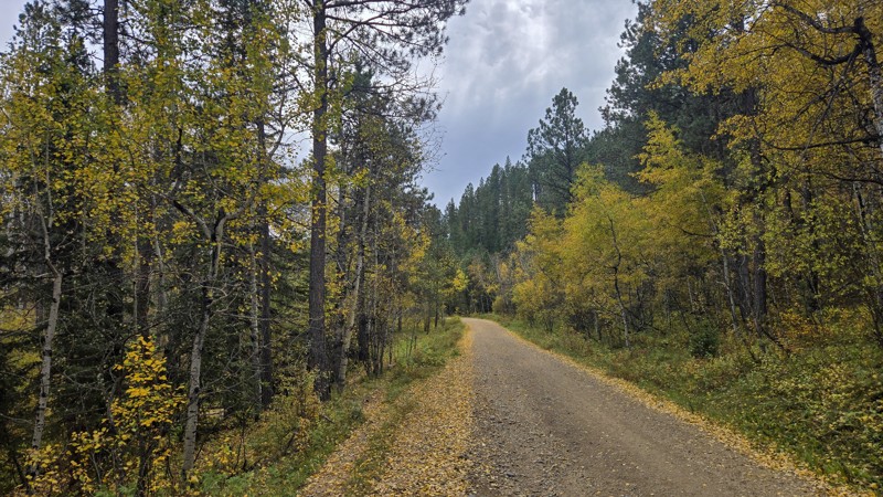
Merritt 34 is a rough dirt trail near the northern end of Broad Gulch. It is about 1.5 miles long and terminates at an intersection between a single-track trail and a restricted-width trail. Merritt 34 has some ruts, embedded rock, and small crests in the trail, which could hang up low-clearance vehicles but would be traversable by any moderate to high clearance SUV.
Merritt 34 offers views of gorgeous Fall colors and wildlife. Nearly midway through, Meritt 34 intersections with restricted-width trail 6210. From this intersection, the ruins of an old farmhouse can be seen. If your vehicle is wider than 62 inches, please do not enter the restricted-width trail. You can walk over to the ruins, which are on private property behind a fence, and view them from the public land.
The intersection near 6210 offers a clearing large enough for several vehicles to park overnight, but may not be desirable as this clearing is in view of nearby homes.
Updated: 10/22/2025
Broad Gulch
Merritt, South Dakota
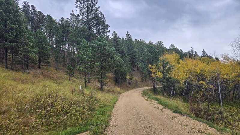
Broad Gulch is a yearlong, two-mile stretch of rough dirt and gravel between Highway 385 and Silver City Road south of the Sugar Shack and north of Silver City. Broad Gulch has a few small ruts along the way, but could be traversed by a sedan or other low-clearance vehicle.
With its large amount of Aspen trees, Broad Gulch shines bright yellow in the Fall. Elk and other wildlife are known to live in this area, so keep an eye out for movement in the trees. Broad Gulch also provides access to several restricted-width and single-track OHV trails, so watch for other traffic.
A clearing at a restricted-width trailhead on the southern end of Broad Gulch would provide suitable space for several vehicles to camp.
Updated: 10/22/2025
Merritt 07
Merritt, South Dakota
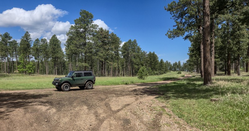
Merritt 07 is a 1.5-mile spur off Broad Gulch north of Silver City in the Black Hills. Open year-round to full-size vehicles, it’s primarily rough dirt with mild ruts and small embedded rock. Any stock SUV or pickup can handle the drive. For full-size rigs, Merritt 07 is an out-and-back, ending at a junction with a restricted-width trail (62" or less).
The corridor is lined with aspen, delivering vibrant fall color, and the surrounding hills are home to deer, turkey, and elk.
A few small clearings along the road allow dispersed camping, though there are no designated sites. Open fires are not allowed in Black Hills National Forest outside of established fire rings.
Updated: 06/10/2026
Stagebarn
Piedmont, South Dakota
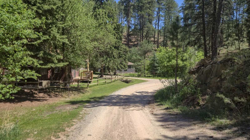
Stagebarn is a seasonal, rough dirt forest road located west of Summerset, South Dakota. Stagebarn starts on High Meadows Road, sharing a beginning with the Botany Canyon Hiking trail, and ends at its intersection with Mickey (FS 777). A gate at the High Meadows entrance is closed during the off-season and restricts motorized access to Stagebarn. Hiking is still permitted.
Stagebarn is mostly well graded and rough dirt, except for the section closest to High Meadows Road. This section features several paths, some of which contain large, loose rocks. Staying on the southern-most route provides the smoothest path. Several mud puddles may accumulate on Stagebarn after recent rainfall. Moderate ground clearance and 4x4 is recommended, especially when muddy.
A large pull-off midway through Stagebarn provides room for multiple vehicles to set up camp. Other smaller options can be found in various spots as well.
Updated: 06/04/2026
Log Porch Road
Johnson Siding, South Dakota
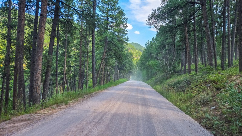
Log Porch Road is a gravel and rough dirt forest road located off E Highway 44 between Hisega and Johnson Siding. It is accessible by most vehicles with moderate ground clearance and provides access to the center of the Shanks and Schroeder Trail system, intersecting with Schmitz. It is also an option for those looking for access to the Flat Nasties rock crawling trail. As you get closer to Schmitz, there will be small, grapefruit-sized embedded rocks in the path to make the ride a little bumpy.
A few small clearings suitable for camping may be found on both spurs off Log Porch Road. The beginning of Log Porch Road shares access with a few residences, so remember to drive slowly and be mindful of others.
Updated: 08/13/2026
Calumet Road
Three Forks, South Dakota
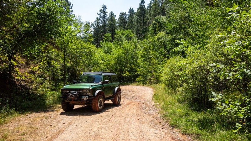
Calumet Road is a well-maintained asphalt and gravel road connecting Highway 385 to Highway 16 on the southern side of Sheridan Lake. Calumet Road provides access to the southern recreation areas of Sheridan Lake, including kayaking, boating, and fishing.
The Sheridan Lake South Shore Campground is located off Calumet Road, and offers tent and RV sites. Dispersed camping is available at a pull-off about midway through Calumet Road.
Updated: 08/13/2026
Bethlehem Road
Piedmont, South Dakota
Bethlehem Road begins off Sturgis Road between Piedmont and Tilford. The first two to three miles are well-maintained gravel. A "High Clearance Vehicles" sign marks where maintenance ends and the difficulty increases. From this point on, Bethlehem Road narrows and presents pinstriping opportunities as the forest closes in. After squeezing through the local flora, the path becomes rocky and requires high clearance and 4x4.
Depending on recent rainfall, water may be seen draining down Bethlehem Road, stemming from a waterfall partway through. Bethlehem Road ends when it intersects with Runkle Road, also known as Crystal Cave. There are no camping opportunities along Bethlehem Road.
Updated: 09/02/2026
Palmer Creek Road
Hill City, South Dakota
Palmer Creek Road is a well-maintained gravel road running between South Dakota Highway 87 and Highway 244, creating a great off-pavement route if you want to cut between Mount Rushmore and Sylvan Lake without driving all the way to Highway 385. Palmer Creek Road holds views of Black Elk Peak and the Needles. Palmer Creek Road features a different path depending on the direction you drive. Both paths drive through a split in two large boulders, but your direction will determine if you go over or under the wood and stone bridge.
Palmer Creek Road also provides access to the Palmer Creek hiking trail, including a pit toilet at the trailhead. There are no camping options along Palmer Creek Road.

Upgrade your Membership
Unlock all of the details on every Trail Guide and Scout Route.
Start a 7-day Free TrialBrowse Trails in South Dakota by City
Browse every South Dakota city with offroad trail guides.
Community
Partners

