



By clicking "ACCEPT", you agree to be the terms and conditions of each policy linked to above. You also agree to the storing of cookies on your device to facilitate the operation and functionality of our site, enhance and customize your user experience, and to analyze how our site is used.
Idaho Off-Road Trails
63
Total Trail Guides 60

644
Detailed Waypoints 302
Try a Free 7-Day Trial and unlock it all
Start a Free Trial Most Recent Trail Reviews
No Rating
Open
Visited: 09/19/2026
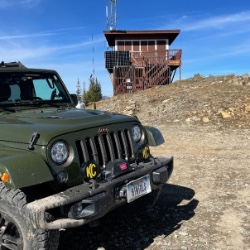
Fun drive, lots of dirt bikes and a few BDR Moto riders. Drove it in reverse direction.

Kim Richards
No Rating
Open
Visited: 09/19/2026
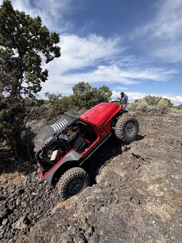
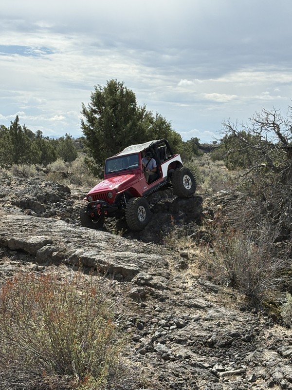
This trail was a great time. It is very unique, ive never been on a trail like it. the lava rock has plenty of traction and is pretty nasty on tires. But all in all I would recommend it to be done at ...
JP
Jared Pyne
Rated 3/5
Open
Visited: 09/15/2026
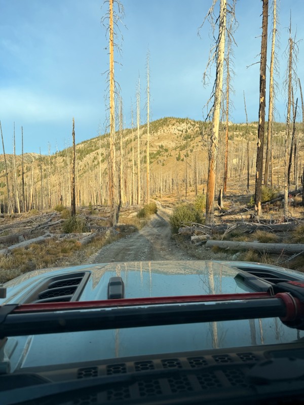
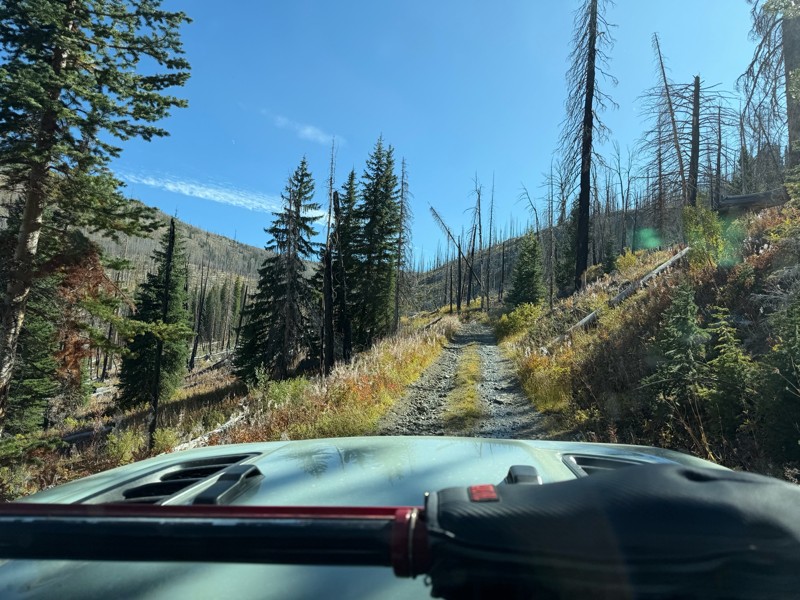
Trail consists of mostly narrow 2-track. Softball to soccer ball sized rocks. Slow going. Most of this forestland experienced fire in the past few years and is still recovering. Pulled a 9’ off-road t...
JH
Jason Holmes
No Rating
Open
Visited: 09/05/2026
Been going here for 57 years and the road keeps getting easier and easier. Sedans can make it.
BC
Bruce Chadwick
Rated 4/5
Open
Visited: 09/01/2026
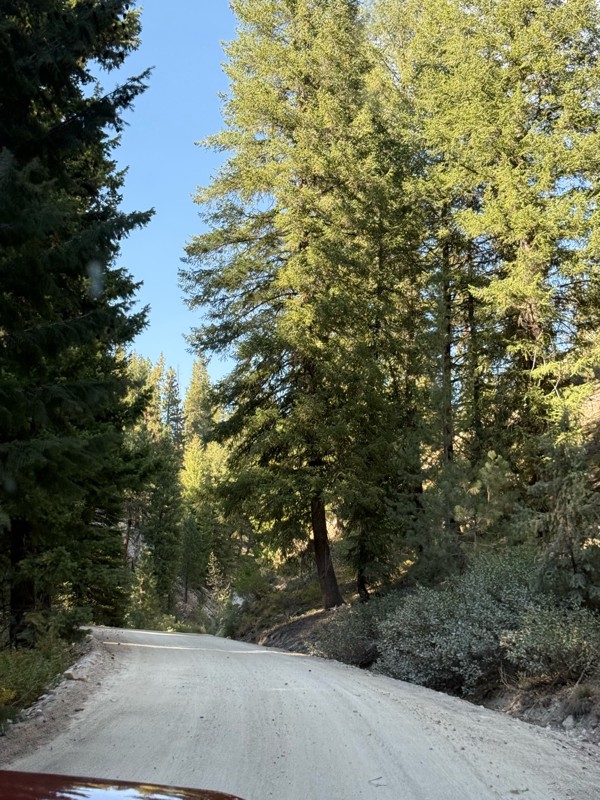
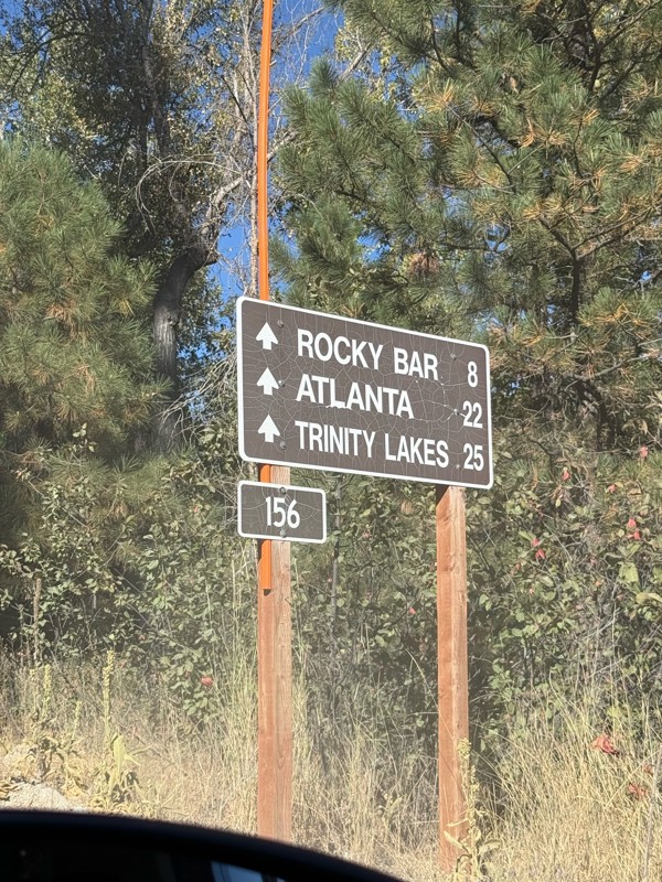
Easy trail that connects you to other great locations. Any vehicle could do this one.
PS
Paul Smith
Rated 4/5
Open
Visited: 09/01/2026
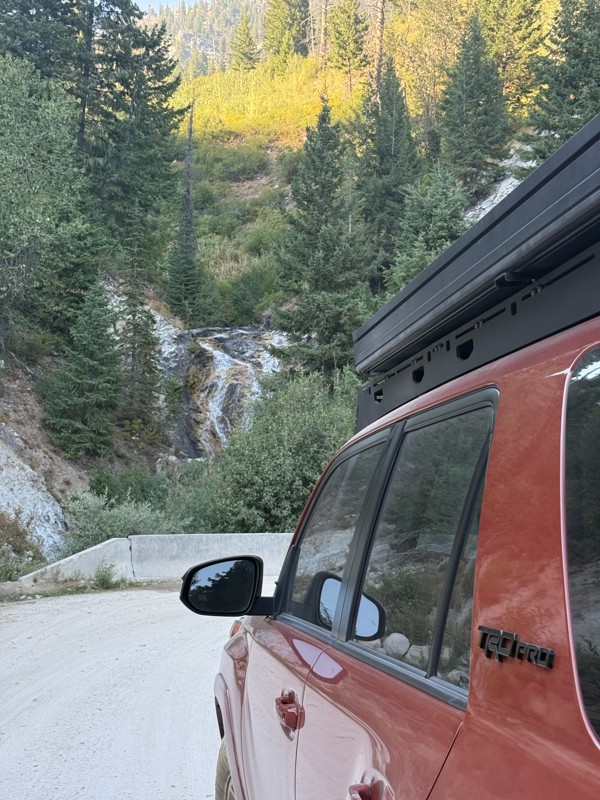
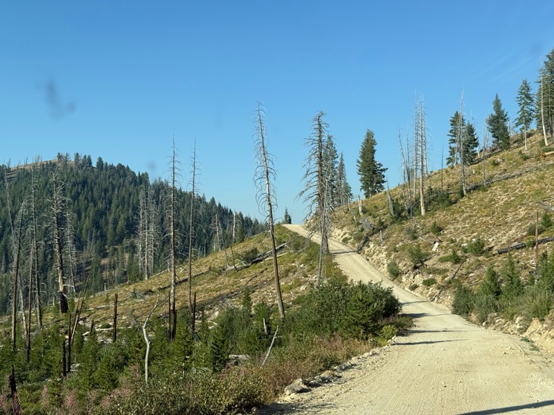
Pretty easy trail although there are some narrow spots along the way. Gets a bit bumpy and rocky as you head toward Atlanta but nothing difficult.
PS
Paul Smith
No Rating
Open
Visited: 09/01/2026
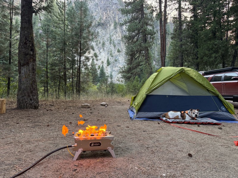
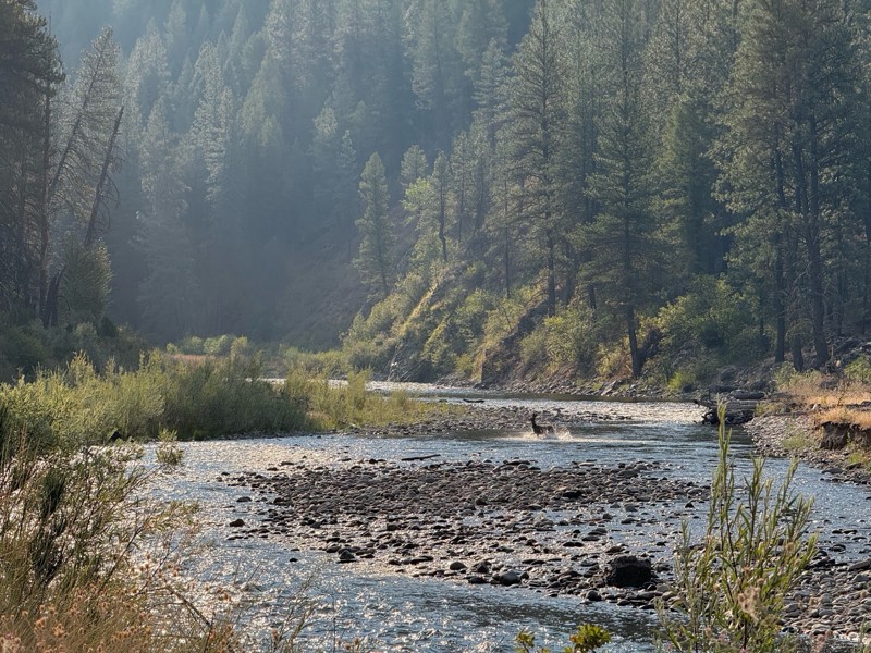
Beautiful and easy road. The smoke was wildfires was pretty bad but that can change. Any stock vehicle could do this at the moment. Campsites were all nearly empty which was a bonus.
PS
Paul Smith
Rated 3/5
Open
Visited: 08/22/2026
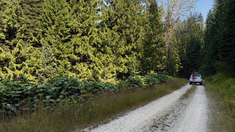
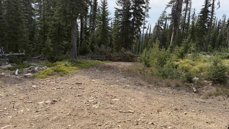
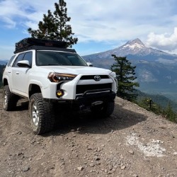
If it wasn't a very exciting trail, it still gets three stars because of how well-maintained it is. I can't even recall one single pothole the whole 4.5 miles. Otherwise, I was just using it as a conn...
Lorraine Bourget
Official Crew
Rated 3/5
Open
Visited: 08/22/2026
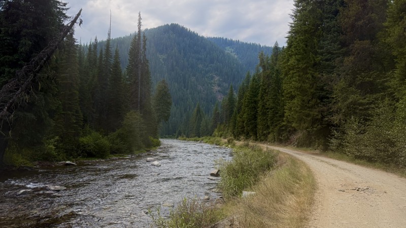
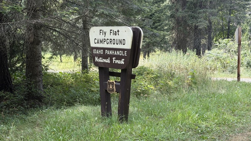
While it was a beautiful drive along the river, I'm rating this road 3 stars. Honestly, I planned my weekend around having the least amount of human contact possible but this section of my loop had ot...
Lorraine Bourget
Official Crew
Rated 5/5
Open
Visited: 08/22/2026
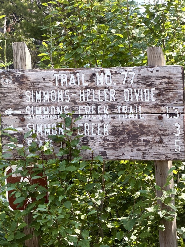
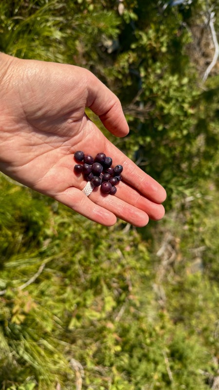
This trail holds a somewhat sentimental value to me. I randomly stumbled across it a couple of years ago when searching for somewhere to use my shower at the top of a mountain. Little did I know I wou...
Lorraine Bourget
Official Crew
Rated 4/5
Open
Visited: 08/21/2026
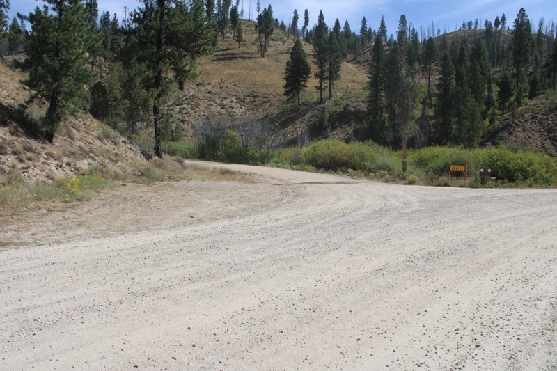
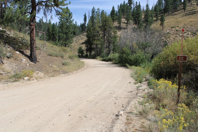
Pike's Fork Road is a spectacular drive into the heart of the Boise National Forest! One of the many dispersed campsites along its length makes an excellent destination for one night on a multi-night...

Bill Ward
Official Crew
Rated 5/5
Open
Visited: 08/16/2026
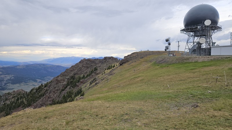
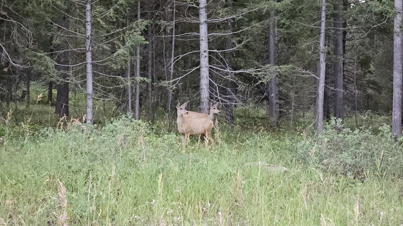
One person can give a group a bad name, especially in the side-by-side world, and that one was on the trail tonight like it was his private racetrack. Otherwise, a very peaceful and enjoyable drive. T...

Cory Wooldridge
Official Crew
Rated 5/5
Open
Visited: 08/11/2026
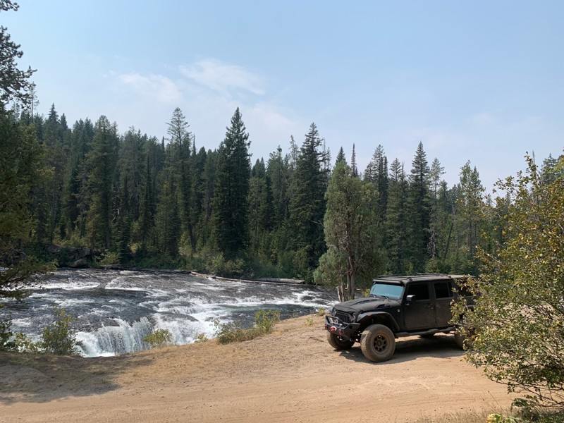
Great Jeep trail! Had fun running it and in pretty good shape. Dry and dusty with a few sections of rocks on decline/incline depending on what direction you’re going. No issues in my lifted Jeep. Not ...
JJ
Jill Jensen
No Rating
Open
Visited: 08/11/2026
Per the MVUM, the trail is seasonally open. As always, check current fire restrictions/closures before venturing out.

Trails Offroad
Official Crew
Open
Visited: 08/11/2026
Per the MVUM, the trail is seasonally open. As always, check current fire restrictions/closures before venturing out.
Trails Offroad
Official Crew
No Rating
Open
Visited: 08/11/2026
Per the MVUM, the trail is seasonally open. As always, check current fire restrictions/closures before venturing out.
Trails Offroad
Official Crew
No Rating
Open
Visited: 08/11/2026
Per the MVUM, the trail is seasonally open. As always, check current fire restrictions/closures before venturing out.
Trails Offroad
Official Crew
No Rating
Open
Visited: 08/11/2026
Per the MVUM, the trail is seasonally open. As always, check current fire restrictions/closures before venturing out.
Trails Offroad
Official Crew
No Rating
Open
Visited: 08/11/2026
Per the MVUM, the trail is seasonally open. As always, check current fire restrictions/closures before venturing out.

Todd
Official Crew
No Rating
Open
Visited: 08/11/2026
Per the MVUM, the trail is seasonally open. As always, check current fire restrictions/closures before venturing out.
Todd
Official Crew
No Rating
Open
Visited: 08/11/2026
Per the MVUM, the trail is seasonally open. As always, check current fire restrictions/closures before venturing out.
Todd
Official Crew
No Rating
Open
Visited: 08/11/2026
Per the MVUM, the trail is seasonally open. As always, check current fire restrictions/closures before venturing out.
Todd
Official Crew
No Rating
Open
Visited: 08/11/2026
Per the MVUM, the trail is seasonally open. As always, check current fire restrictions/closures before venturing out.
Todd
Official Crew
No Rating
Open
Visited: 08/11/2026
Per the MVUM, the trail is seasonally open. As always, check current fire restrictions/closures before venturing out.
Todd
Official Crew
No Rating
Open
Visited: 08/11/2026
Per the MVUM, the trail is seasonally open. As always, check current fire restrictions/closures before venturing out.
Todd
Official Crew
No Rating
Open
Visited: 08/11/2026
Per the MVUM, the trail is seasonally open. As always, check current fire restrictions/closures before venturing out.
Todd
Official Crew
No Rating
Open
Visited: 08/11/2026
Per the MVUM, the trail is seasonally open. As always, check current fire restrictions/closures before venturing out.
Todd
Official Crew
No Rating
Open
Visited: 08/11/2026
Per the MVUM, the trail is seasonally open. As always, check current fire restrictions/closures before venturing out.
Trails Offroad
Official Crew
No Rating
Open
Visited: 08/11/2026
Per the MVUM, the trail is seasonally open. As always, check current fire restrictions/closures before venturing out.
Trails Offroad
Official Crew
No Rating
Open
Visited: 08/11/2026
Per the MVUM, the trail is seasonally open. As always, check current fire restrictions/closures before venturing out.
Trails Offroad
Official Crew
No Rating
Open
Visited: 08/11/2026
Per the MVUM, the trail is seasonally open. As always, check current fire restrictions/closures before venturing out.
Trails Offroad
Official Crew
No Rating
Open
Visited: 08/11/2026
Per the MVUM, the trail is seasonally open. As always, check current fire restrictions/closures before venturing out.
Trails Offroad
Official Crew
No Rating
Open
Visited: 08/11/2026
Per the MVUM, the trail is seasonally open. As always, check current fire restrictions/closures before venturing out.
Trails Offroad
Official Crew
No Rating
Open
Visited: 08/11/2026
Per the MVUM, the trail is seasonally open. As always, check current fire restrictions/closures before venturing out.
Trails Offroad
Official Crew
No Rating
Open
Visited: 08/11/2026
Per the MVUM, the trail is seasonally open. As always, check current fire restrictions/closures before venturing out.
Trails Offroad
Official Crew
No Rating
Open
Visited: 08/11/2026
Per the MVUM, the trail is seasonally open. As always, check current fire restrictions/closures before venturing out.
Trails Offroad
Official Crew
No Rating
Open
Visited: 08/11/2026
Per the MVUM, the trail is seasonally open. As always, check current fire restrictions/closures before venturing out.
Trails Offroad
Official Crew
No Rating
Open
Visited: 08/11/2026
Per the MVUM, the trail is seasonally open. As always, check current fire restrictions/closures before venturing out.
Trails Offroad
Official Crew
No Rating
Open
Visited: 08/11/2026
Per the MVUM, the trail is seasonally open. As always, check current fire restrictions/closures before venturing out.
Trails Offroad
Official Crew
No Rating
Open
Visited: 08/11/2026
Per the MVUM, the trail is seasonally open. As always, check current fire restrictions/closures before venturing out.
Trails Offroad
Official Crew
No Rating
Open
Visited: 08/11/2026
Per the MVUM, the trail is seasonally open. As always, check current fire restrictions/closures before venturing out.
Trails Offroad
Official Crew
No Rating
Open
Visited: 08/11/2026
Per the MVUM, the trail is seasonally open. As always, check current fire restrictions/closures before venturing out.
Trails Offroad
Official Crew
No Rating
Open
Visited: 08/11/2026
Per the MVUM, the trail is seasonally open. As always, check current fire restrictions/closures before venturing out.
Trails Offroad
Official Crew
No Rating
Open
Visited: 08/11/2026
Per the MVUM, the trail is seasonally open. As always, check current fire restrictions/closures before venturing out.
Trails Offroad
Official Crew
No Rating
Open
Visited: 08/11/2026
Per the MVUM, the trail is seasonally open. As always, check current fire restrictions/closures before venturing out.
Trails Offroad
Official Crew
No Rating
Open
Visited: 08/11/2026
Per the MVUM, the trail is seasonally open. As always, check current fire restrictions/closures before venturing out.
Trails Offroad
Official Crew
No Rating
Open
Visited: 08/11/2026
Per the MVUM, the trail is seasonally open. As always, check current fire restrictions/closures before venturing out.
Trails Offroad
Official Crew
No Rating
Open
Visited: 08/11/2026
Per the MVUM, the trail is seasonally open. As always, check current fire restrictions/closures before venturing out.
Trails Offroad
Official Crew
No Rating
Open
Visited: 08/11/2026
Per the MVUM, the trail is seasonally open. As always, check current fire restrictions/closures before venturing out.
Trails Offroad
Official Crew
No Rating
Open
Visited: 08/11/2026
Per the MVUM, the trail is seasonally open. As always, check current fire restrictions/closures before venturing out.
Trails Offroad
Official Crew
Most Popular

Updated: 10/15/2024
Black Lake Road
Landore, Idaho
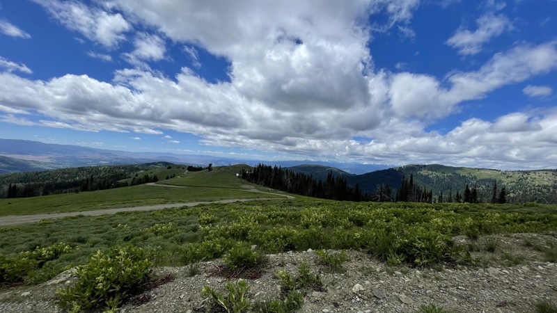
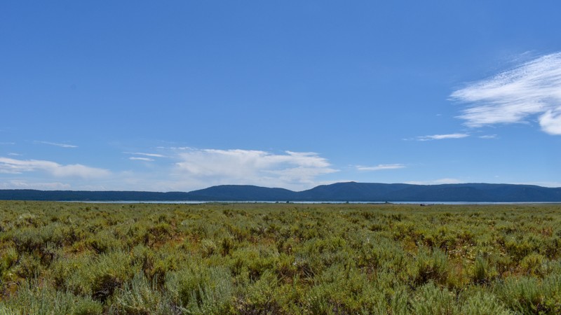
Black Lake Road in Idaho is a scenic route that leads to the picturesque Black Lake. The road is known for its rugged beauty, winding through the mountains and offering breathtaking views of the surrounding landscape. It's a popular destination for nature lovers and adventure seekers looking to explore Idaho's wilderness.
The Placer Basin Gold Mine, roughly 2.5 miles up Black Lake Road from FD105, was discovered by Arthur Frenchie David in about 1882. A small quantity of high-grade ore was found, but the work was sporadic and yielded little metal. A mill, built about 1905, ran only one summer. Ore was hauled by wagon to the railroad.
Only a few families lived here at one time. Additional work was done in the 1930s, and another mill was built, part of which still stands. Most of the machinery was later salvaged and hauled away.
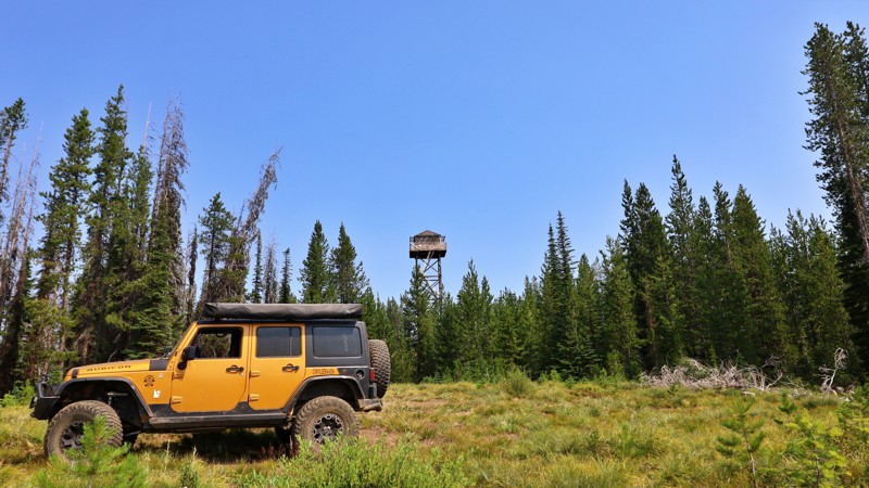
You can see Smith Mountain Lookout from the road up, and you won't want to miss the beautiful views from it, which is only a 10-minute detour. If you don't have the clearance for this road, it's still worth the 5-to-10-minute hike up!
Camping is best suited for Black Lake Campground.
If your destination is Smith Mountain and not Black Lake, the road is usually open by June.
Updated: 10/15/2024
Old Shotgun Road
Rea, Idaho
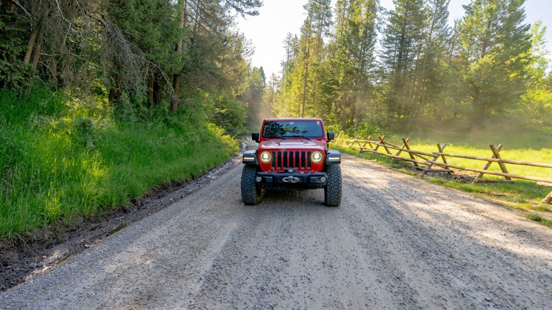
Looking to venture off the beaten path when visiting the greater Yellowstone area? Then maybe set your sights on Old Shotgun Road. This quirky trail's name remains shrouded in mystery, adding a touch of curiosity to your adventure. As you explore, you'll find yourself amidst fields of lush green grass, with grazing cattle congregated near the many creeks that cross under the road. The trail offers views of the Henrys Fork Caldera rim, a reminder of the region's volcanic past. The surrounding caldera was formed approximately 1.3 million years ago, and over time, it has filled in with basaltic lava flows, resulting in the flat topography experienced on this trail. Depending on your source, you'll also hear this called the Island Park eruption.
There is no camping along this trail but continue onto Lower Sheridan Ranch Road for great campsites with trees for shade and windbreak. There are more camping opportunities along Yale-Kilgore Roads as well.
Updated: 08/11/2026
Table Rock Canyon
Poplar, Idaho
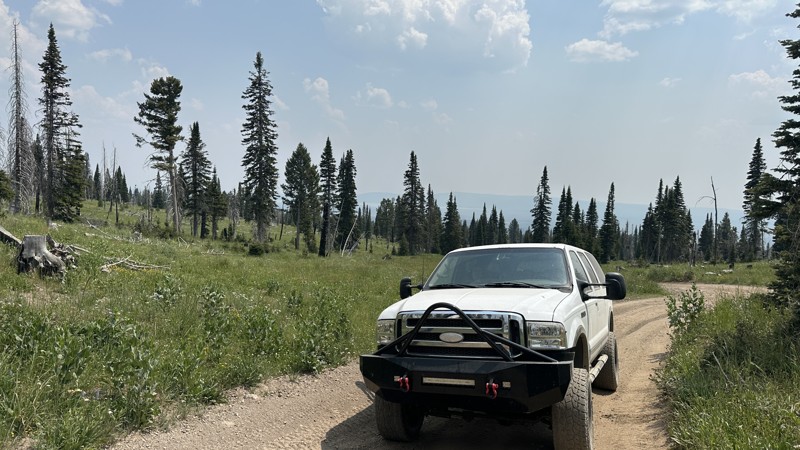
Table Rock Canyon is a connector chock full of dispersed campsites. The Table Rock Campground is also located roughly at the trail's halfway point. The road is easy and seems to be continually well-maintained as it sees a lot of traffic and use. There are lots of ATV and moto trails in the area, be aware of recreational motorized traffic.
Updated: 10/15/2024
Keg Springs
Rea, Idaho
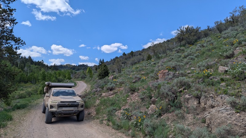
Keg Springs Road begins at about 6,600 feet in elevation from Yale Kilgore Road and ends on the continental divide between Idaho and Montana at about 9,000 feet. High-clearance 4x4 vehicles are recommended for use on this road due to its steep and rocky nature. Allow plenty of time for slower travel times due to the rocky trail conditions. The Keg Springs area is one of the best areas to experience subalpine meadows dominated by an abundance of wildflowers. Large game, including bears and moose, are often seen roaming around. No preexisting camping is found along this trail.
Updated: 06/23/2025
Fish Haven Canyon
Fish Haven, Idaho
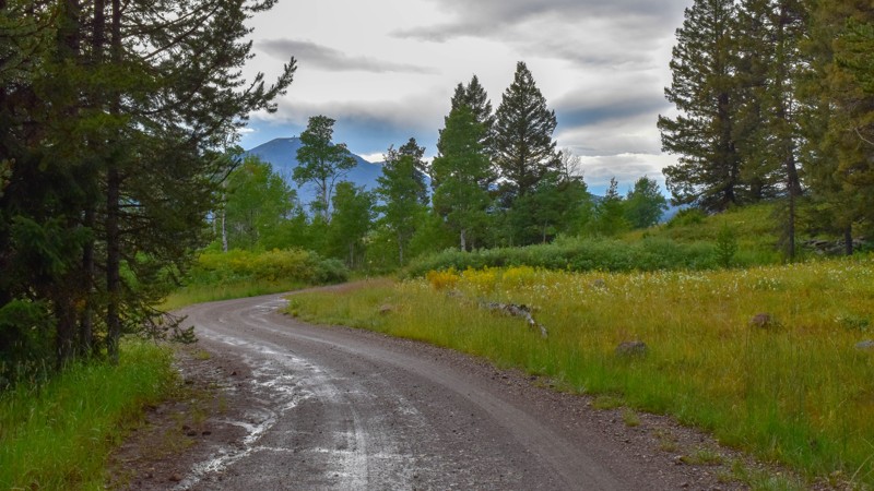
This trail cuts through the Bear River Range and offers a peaceful and scenic drive through pine and aspen groves. With gentle grades and a smooth dirt surface, it's suitable for a wide range of vehicles. Dispersed campsites are scattered along the trail, some tucked into the treeline, others large and open, making them ideal for group gatherings or larger vehicles. Whether you're looking for a relaxed day drive or a basecamp for exploring surrounding routes, this trail delivers a quiet, laid-back backcountry experience without technical demands.
Updated: 10/15/2024
Meadow Creek Road
Big Springs, Idaho
Traveling from Big Springs to Highway 20 and Henrys Lake Flat, this gem of a trail runs through tall spruce, dense forest to green grass, aspen trees, and miles of meadows. There aren't any day-use or camping sites, with most of this trail running through private property.
Updated: 10/15/2024
Bruneau Canyon Overlook
Hot Springs, Idaho
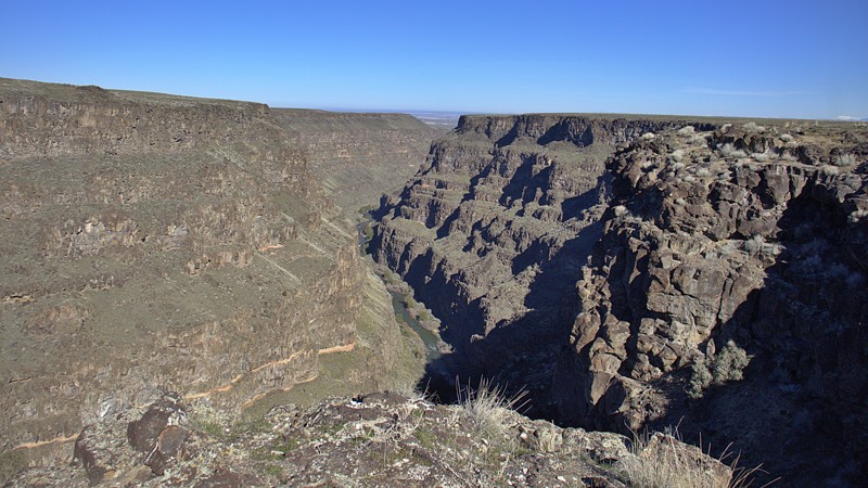
The Bruneau Overlook offers a convenient vantage point above Bruneau Canyon, which the Bruneau River sculpted through basalt and rhyolite formations. Visitors witness the untamed beauty of the wild and scenic Bruneau River as it flows out of the Bruneau-Jarbidge Rivers Wilderness area. At the end of the road, well-frequented hiking trails run along the canyon's rim, attracting hikers and birdwatchers alike. Additionally, a pit toilet is available at this location. There are no campsites along the trail.
Be mindful of cattle that may be present along the road.
Updated: 10/15/2024
Bishop Mountain
Island Park, Idaho
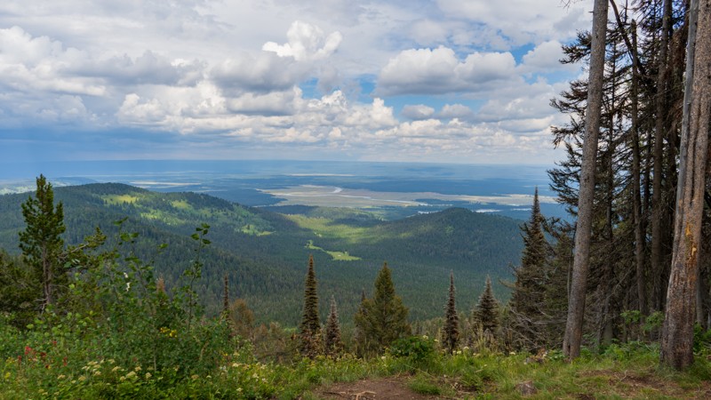
Built in 1938, the Bishop Mountain Cabin housed employees of the USFS and BLM while they were on watch for wildfires. Now, it is available for rent through recreation.gov. Even if you are not renting the cabin, users of the trail can drive up to the gate just before the cabin for amazing views of Island Park Reservoir. The trail is a bumpy, packed dirt road that is often littered with ruts. 4WD should not be needed under optimal conditions, but high clearance will be your friend due to the scattered loose rocks.
Updated: 08/11/2026
Chinese Peak
Blackrock, Idaho
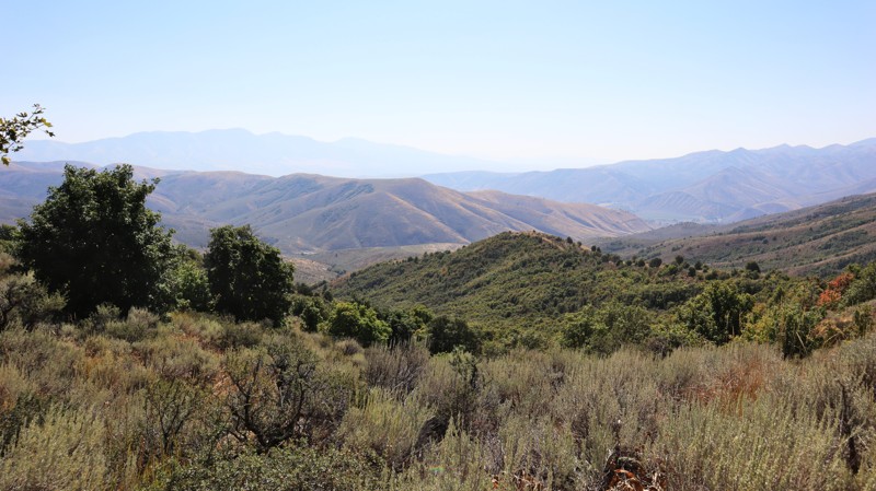
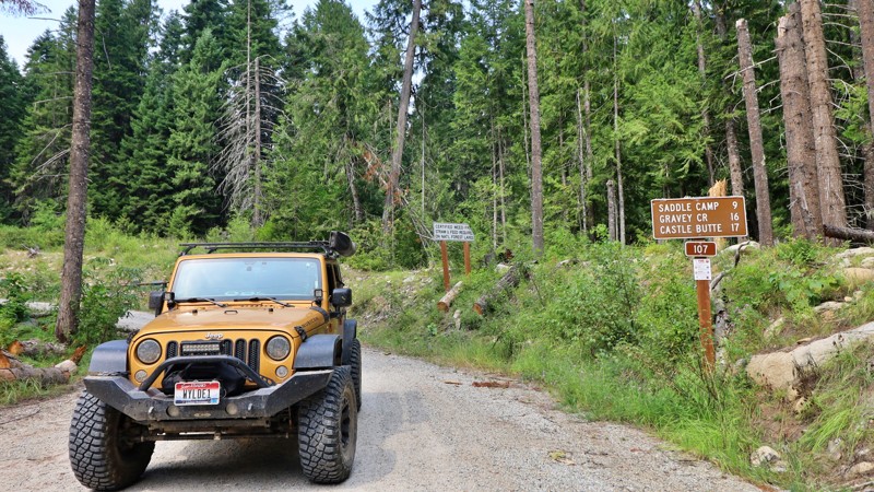
Located within the Chinese Peak-Blackrock Trail System, Chinese Peak is a straight-through trail connecting Barton Road out of Pocatello and the primary Blackrock Trailhead. Marked as trail 0301 and traversing its namesake peak, this trail climbs to nearly 6,700 feet. The road from the north to the peak is a well-graded dirt road with mild switchbacks and moderately steep hills. South of the peak, you'll find another steep hill, a dusty shelf road, and narrow sections through thick vegetation that is guaranteed to inflict some pinstriping into your vehicle's paint. There are a couple of spots along this trail where you can camp and take in the views, but they are right along the edge of the trail.
This is a popular trail system for all user types, as there are over 40 miles of trails for motorized, equestrian, mountain biking, and hiking users. The trail system is seasonally closed from November 16th to April 15th each year.
Updated: 10/15/2024
Saddle Camp
Powell Junction, Idaho
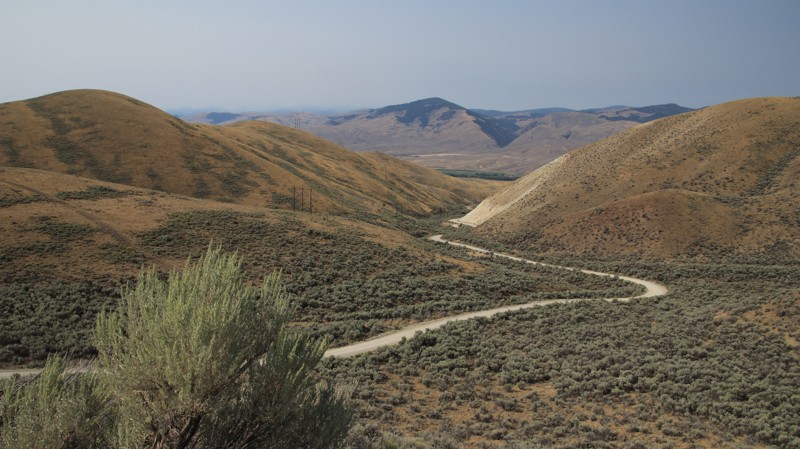
Saddle Camp Road is a gateway to adventure, offering one of the few access routes to the historic Lolo Motorway in the Nez Perce-Clearwater National Forest. This road is relatively easy to navigate, winding through a landscape that whispers tales of the past with every turn. The drive is tranquil, surrounded by dense forests and sweeping views of this wild and scenic region.
While there are no visible campsites along Saddle Camp Road, the trail is dotted with numerous spurs branching into the wilderness. These spurs provide perfect spots for dispersed camping, where you can set up camp in the quiet solitude of the forest, far from the beaten path. Saddle Camp Road invites explorers to pause, take in the beauty of the surroundings, and perhaps stay awhile, immersed in the timeless tranquility of the Nez Perce-Clearwater National Forest.
Updated: 10/15/2024
Warm Springs
Tendoy, Idaho
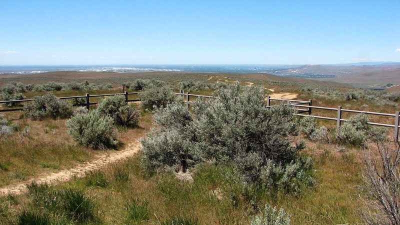
Warm Springs, FR 185, is part of the Lewis and Clark Back Country Byway. The trail climbs from the Lemhi River Valley to Lemhi Pass. The well-maintained dirt road has steep climbs, sections of shelf road, and numerous blind curve switchbacks. Beginning in sagebrush-covered hills, the trail enters a mixed conifer forest with scattered aspens before breaking out into alpine meadows near the top.
Sharkey Hot Springs is located near the bottom of the trail. Natural springs have been routed into two soaking pools, which have vault toilets and changing rooms. There is a fee for using the springs, which can be prepaid on rec.gov.
The road crosses the Continental Divide Trail, a north/south hiking trail that spans the US. Near Lemhi Pass, there are several pullouts with informative signage, while the pass itself provides amazing views eastward into Montana and westward into Idaho. Users will find numerous other trails connected at Lemhi Pass.
There are very limited camping opportunities along this road. Look elsewhere to camp.
Updated: 10/15/2024
Bonneville Point Road
Blacks Creek, Idaho
Bonneville Point is named after Captain Bonneville, one of the early explorers of the Oregon Trail. When he first arrived at Bonneville Point after many days of traveling through the sagebrush steppes of Southern Idaho, he exclaimed, "The woods! The woods! See the woods!" as he viewed out across the heavily wooded Boise River Valley.
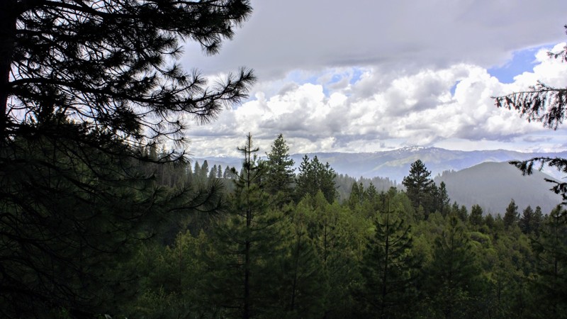
Exploring it yourself, you will find Bonneville Point Road is a well-maintained two-lane gravel road from Black's Creek Road to Bonneville Point. This short section of gravel road is the final mile and a half of the newly established Main Oregon Trail Backcountry Byway, which starts at Glenn's Ferry along the Snake River and ends at Bonneville Point. Bonneville Point is easy to access from Interstate 84 via Black's Creek Road and is a delightful stop for history buffs, anyone interested in the Oregon Trail, or simply as a break from driving for folks traveling through the area. The view over the Boise River Valley, including much of Boise, is magnificent! The Oregon Trail continues past Bonneville Point as a two-track trail designated for non-motorized use. There is no camping along the road, as much of it travels on private land.
Updated: 06/07/2019
Left Fork Danskin Creek
Banks, Idaho
649 Left Fork Danskin Creek Trail is in the Boise National Forest - Emmett Ranger District, less than 2 hours north of Boise. You'll pass through Garden Valley a few miles before the trailhead which is absolutely beautiful and noted for the large herds of elk for your viewing. Most of the trails above Garden Valley were used by the logging industry from the early 1900s, but when Boise Cascade started shutting down the mills in the 1990s, logging slowed dramatically. If you're into getting away from the crowds to disperse camp, you have to check out the site along this trail. The views are beautiful and the area is large, flat, and surrounded by pine trees. Pets are allowed but remember, there are larger animals that call this place home nearby.
Updated: 10/15/2024
C900 Trail System
Spiry Place, Idaho
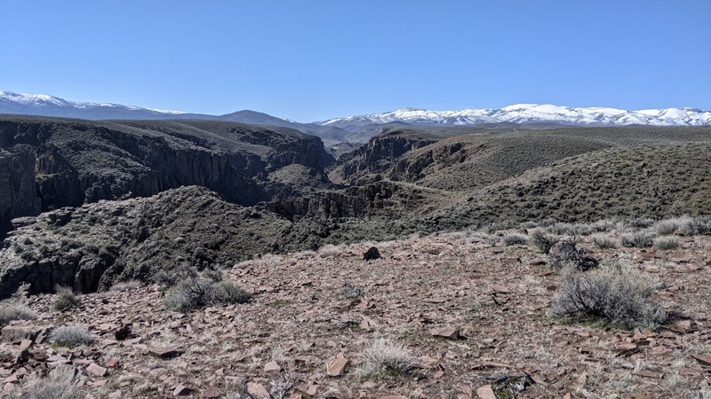
The C900 trail system in the Owyhee Desert follows the northwest side of Castle Creek Canyon. C900 ends at an open pit gravel/sand mine. Numerous spur trails go to the canyon rim with spectacular views. The vertical walled canyon and its many branches are cut through layers of basalt. Castle Creek can be heard at the bottom of the canyon, but it can't be seen unless one is willing to brave the precipice. The main canyon is deep and narrow, often deeper than it is wide.
Dispersed camping is allowed in the area, and several smaller trails end right above the canyon in acceptable camping areas. Also, sites along the main trail can be used for dispersed camping.
The trails alternate between smooth dirt and gnarly rocky stretches. Because the rocks are numerous and sharp, good tires and ground clearance are necessary. While not technical, 4WD is recommended for these trails.
Owyhee County in Southwest Idaho has over 5000 square miles of desert, canyons, and mountains. There are no services in the entire area, and cell coverage is spotty. Being adequately prepared for almost any contingency is a must. Because there are multitudes of crisscross trails, many of which look similar, a good navigation system and a backup system are needed, and the knowledge to use them is necessary.
Updated: 10/15/2024
North Crane Road
Ola, Idaho
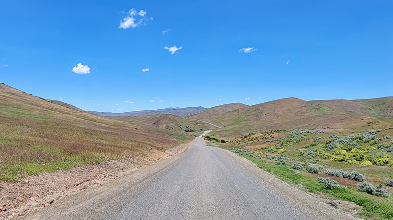
North Crane Road runs through BLM land and provides a dynamic landscape. As you drive through the lush rolling hills and canyons, you’ll get great views of the surrounding West Mountains to the east.
The road is mostly gravel and well-maintained, so no 4WD is needed. However, some stretches travel down a steep drop with no guardrail, so watch your speed going around the corners. Also, it is an open range, so beware of livestock on the road.
North Crane Road intersects Big Flat Road in the south and South Crane Road in the northwest, where Crane Creek Reservoir is located.
Updated: 10/15/2024
South Crane Road
Indian Valley, Idaho
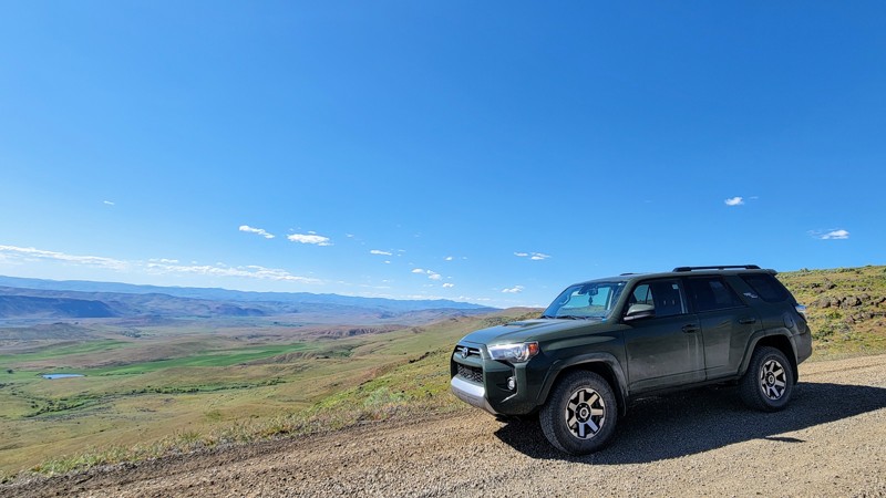
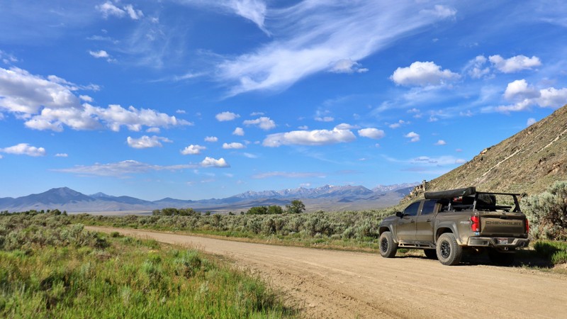
South Crane Road runs from just east of Weiser, OR, to Crane Creek Reservoir in the north. You'll see the West Mountains and the Sawtooth Mountains to the east and rolling hills all around as you drive down the windy, well-maintained gravel road.
You'll travel through BLM land, so camping is allowed off the road. The spur to the trail's north end will take you to the reservoir, traveling a slightly rougher dirt road, but no 4WD is required. This is an open range, so watch out for livestock.
Updated: 08/11/2025
Sawmill Canyon
Clyde, Idaho
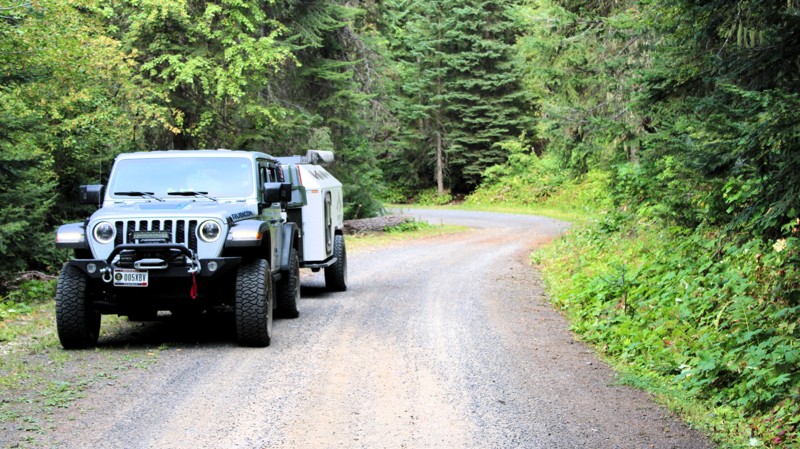
Sawmill Canyon Road (Forest Service Road #101) is an easy, unpaved road winding through the Salmon-Challis National Forest. Following the curve of Sawmill Creek, it offers access to alpine meadows, dispersed campsites, and a wide network of backcountry trails. It is perfect for OHV riders, hikers, and solitude-seekers alike.
This remote corridor is also the centerpiece of the Sawmill Canyon Project (2020–2023), a major effort to balance recreation with conservation. The project rerouted trails away from streams, installed bridges to prevent erosion, closed unsustainable user-created paths, and opened others to wider offroad vehicles, all while restoring wildlife habitat with the help of over 800 volunteer hours.
Despite being unpaved with the occasional pothole, the road is suitable for RVs and towable trailers. Primitive campsites, often tucked into aspen groves or beside creekside meadows, offer a peaceful base for exploring.
Updated: 09/11/2025
Elk City Wagon Road
Clearwater, Idaho
Before Highway 14 was built, the only route to Elk City, Idaho, was the Elk City Wagon Road, built in 1895 and 1896. The Road begins in the small town of Harpster, Idaho, as a short section of pavement and gravel that leads to Clearwater, Idaho. The Road, as depicted, runs from Clearwater to Newsom, Idaho. The Elk City Wagon Road continues on a combination of other roads to Elk City, Idaho. At most intersections, and occasionally between, there are signs identifying the route as the Elk City WR.
This section of the Elk City Wagon Road ranges from a well-maintained two-lane gravel road to a minimally maintained single-lane natural surface road. It can be driven in any vehicle with reasonable ground clearance. There are some potholes, washboarding, and minor washouts. The most significant hazard is the almost continuous blind curves. Most of the Road is closely bordered by thick forest, which limits the big views. It is, however, a very scenic drive through the forest.
There are no campgrounds along the Road, but dispersed camping is allowed. For much of the Road, the terrain does not lend itself to campsites, but there are a few established sites along the higher section of the road. There is some private land, particularly on the ends of the Road, that must be respected when selecting a campsite.

Updated: 10/15/2024
Parachute Hill
Powell Junction, Idaho
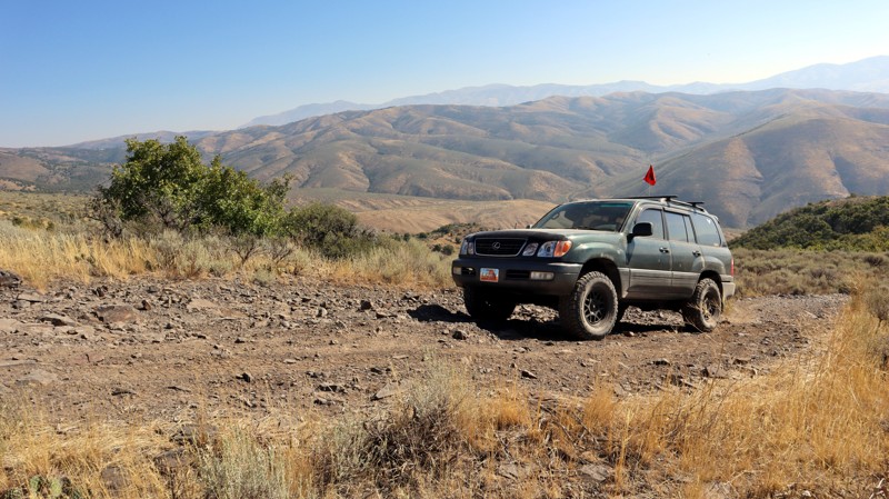
Running between the incredibly scenic Highway 12 and the historic Lolo Motorway, Parachute Hill is a steady climb into the Clearwater National Forest. Mixed conifers line the sides of this easy, winding trail. The upper section is along a steep shelf, so you should stop if you want to admire the views. Plunging off the side wouldn't be enjoyable.
Several good campsites are along the trail. The nearest to Highway 12 is a pull-through suitable for almost any rig. Another site on the east side of the trail has a unique wooden bench beside the fire ring and plenty of space for multiple rigs. The final campsite at the intersection with FR 5650 has room for several rigs. Nearby Powel campground offers water, picnic tables, and fire rings alongside Lochsa River. The historic Lochsa Lodge offers a restaurant, a small convenience store, expensive fuel, and lodging.
Updated: 08/11/2026
Southern Chinese Peak
Blackrock, Idaho
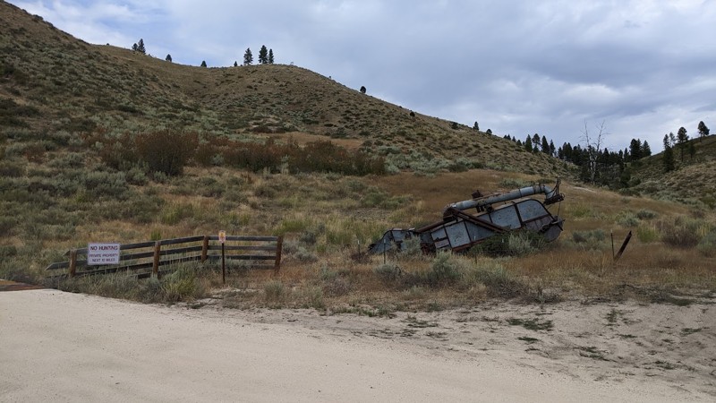
Located within the Chinese Peak-Blackrock Trail System just east of Pocatello, South Chinese Peak, trail 03110, is a connector road between I-15 and the Chinese Peak trail. This trail is a rough dirt road with steep climbs, gaining 1,800 feet along its nearly 4-mile-long trek. There is a small staging area along the south end of the trail at North Blackrock Canyon Road and a much larger staging area with sheltered picnic tables, fire rings, and vaulted toilets a bit farther up North Blackrock Canyon Road.
This is a popular trail system for all user types, as there are over 40 miles of trails for motorized, equestrian, mountain biking, and hiking users. The trail system is seasonally closed from November 16th to April 15th each year.
There are no established campsites along this trail.
Updated: 09/03/2025
Meadow Creek Road
Prairie, Idaho
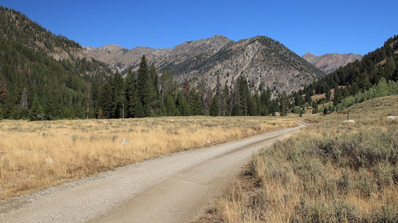
Meadow Creek Road, FS 128, runs from Prairie, Idaho, to Fall Creek Road. The western portion combines BLM and private land, while the eastern portion runs through the Boise National Forest. During the summer, Meadow Creek Road is a well-maintained, mostly two-lane gravel road, but it is not maintained in the winter and is generally closed by snow. Starting in Prairie, the western portion is straight, with good views of the more distant mountains to either side of the road, with interesting lava mounds and rim rock closer. The eastern portion winds through narrow scenic canyons, particularly in the national forest. The primary hazard of this road is the gravel surface, which can sometimes feel slippery, combined with the many sharp and switchback turns.
Plenty of options exist for dispersed camping along the forest service part of the road, often with a stream nearby. Ice Spring Campground, a nicely developed forest service campground, is on the western end of Meadow Creek Road, where it meets Fall Creek Road. The campground offers picnic tables and a pit toilet.
In addition to being a pleasant drive, Meadow Creek Road provides access to numerous smaller and more challenging roads, House Mountain Road, Trinity Mountain Road, and Anderson Ranch Reservoir via Fall Creek Road.
Updated: 08/11/2026
North Fork Big Wood River
Cathedral Pines, Idaho
North Fork Big Wood River is an easy out-and-back dirt road beginning off Highway 75 and ending at a hiking trailhead for the North Fork Trail. Soon after passing the Sawtooth Visitor Center, a place you must stop and enjoy, the road turns to dirt. The road follows and crosses its namesake river several times. The river has trout and several beaver dams. The road ends at a lollipop turnaround that serves as a hiking trailhead into the looming Boulder Mountains ahead.
There are several established campgrounds and 17 designated campsites along the trail. Murdock Campground can accommodate larger rigs, while Caribou Campground is more suited for tents and smaller rigs. The Cougar Dispersed Camping Area, set in a lovely area off the main road, can accommodate larger rigs and has a vault toilet. Many of the dispersed sites sit directly on the river banks. There is even a dump station and water just east of the visitor center. All camping is first-come, first-served.
Updated: 10/15/2024
Weitas Butte Lookout
Musselshell, Idaho
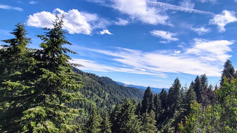
Nestled along the historic Lolo Motorway, Weitas Butte Lookout offers a tranquil retreat amidst the rugged beauty of the Nez Perce and Lewis and Clark National Historic Trail. With expansive views of the Nez Perce-Clearwater National Forest, this lookout provides a unique opportunity to immerse oneself in the serene wilderness. Weitas's name is a sanitized version of its original name, "Wet Ass," likely coined by soldiers during General O.O. Howard’s Nez Perce campaign or by engineers working in the area. The Forest Service later changed it to Weitas, a more refined but less descriptive name.
This trail is unmaintained and, due to its steep grade, is prone to washouts, making it challenging for anything other than a high-clearance vehicle.
Constructed in 1931, the original lookout featured a 30-foot pole tower topped with an L-4 cab, and a garage was added in 1935. The current 53-foot treated timber tower, built in 1953, was among the first to be included in the Recreation Rental program in 1983. However, due to safety concerns, it is no longer used as a rental and remains on standby today.
Camping is available either beside the lookout or in the meadow below, where an established fire ring and a nearby toilet add to the convenience.
Updated: 08/11/2025
Alder Creek Road
Placerville, Idaho
Alder Creek Road offers a quiet and scenic drive through the mountainous terrain between Banks Lowman Scenic Byway and the small town of Placerville. This forest road is a mix of gentle grades, tight curves, and lightly rutted surfaces, making it a great choice for drivers seeking a mild backcountry experience without venturing into technical territory. It is a wide, two-lane gravel road that is well-maintained, allowing any vehicle to travel this trail safely. The road follows Alder Creek for much of the route, weaving through tall stands of pine and fir, with occasional clearings and great views of the surrounding Boise Mountains.
There are no camping opportunities directly on Alder Creek Road, but this trail is part of an extensive trail system that offers numerous camping options. Especially off the north end along South Fork Road and the Payette River.

Upgrade your Membership
Unlock all of the details on every Trail Guide and Scout Route.
Start a 7-day Free TrialBrowse Trails in Idaho by City
Browse every Idaho city with offroad trail guides.
Community
Partners

