


By clicking "ACCEPT", you agree to be the terms and conditions of each policy linked to above. You also agree to the storing of cookies on your device to facilitate the operation and functionality of our site, enhance and customize your user experience, and to analyze how our site is used.
Idaho Off-Road Trails
63
Total Trail Guides 60

644
Detailed Waypoints 302
Try a Free 7-Day Trial and unlock it all
Start a Free Trial Most Recent Trail Reviews
No Rating
Open
Visited: 09/19/2026
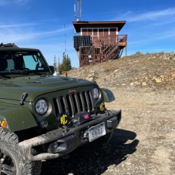
Fun drive, lots of dirt bikes and a few BDR Moto riders. Drove it in reverse direction.

Kim Richards
No Rating
Open
Visited: 09/19/2026
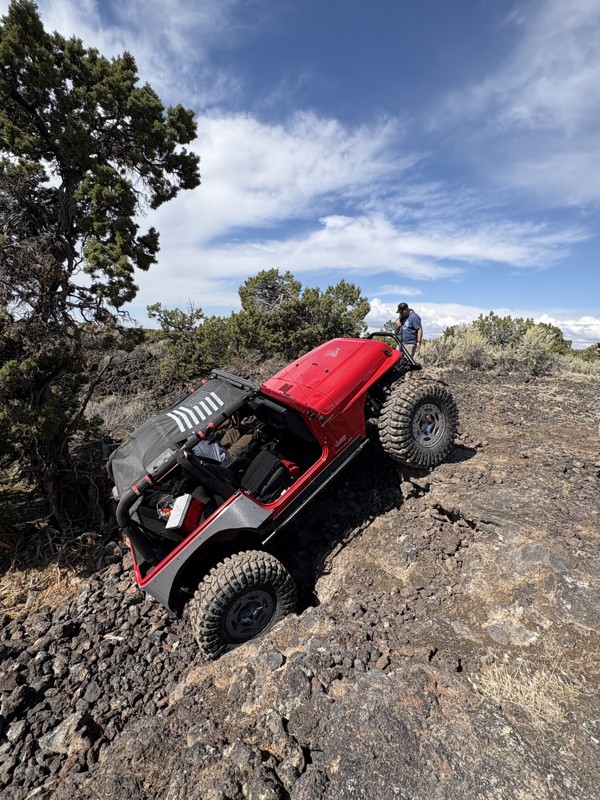
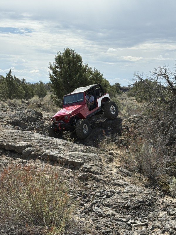
This trail was a great time. It is very unique, ive never been on a trail like it. the lava rock has plenty of traction and is pretty nasty on tires. But all in all I would recommend it to be done at ...
JP
Jared Pyne
Rated 3/5
Open
Visited: 09/15/2026
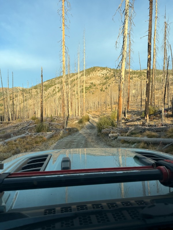
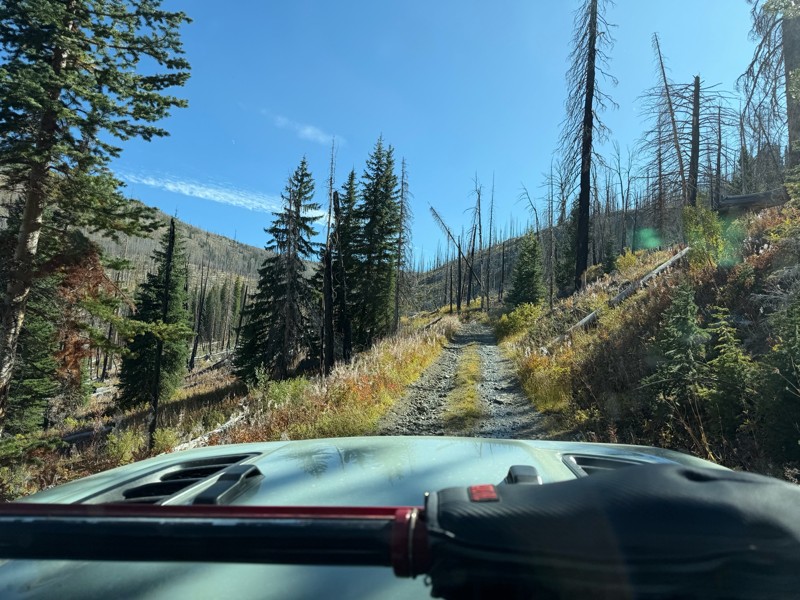
Trail consists of mostly narrow 2-track. Softball to soccer ball sized rocks. Slow going. Most of this forestland experienced fire in the past few years and is still recovering. Pulled a 9’ off-road t...
JH
Jason Holmes
No Rating
Open
Visited: 09/05/2026
Been going here for 57 years and the road keeps getting easier and easier. Sedans can make it.
BC
Bruce Chadwick
Rated 4/5
Open
Visited: 09/01/2026
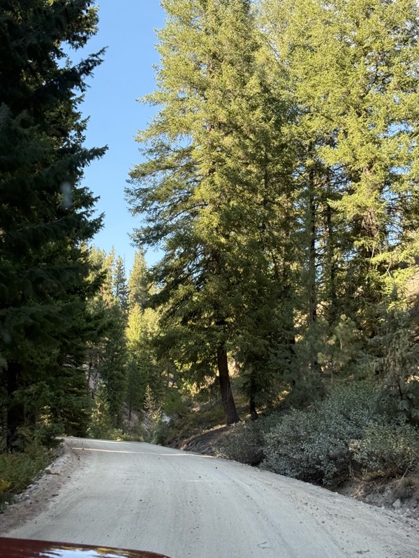
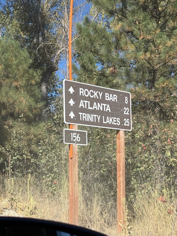
Easy trail that connects you to other great locations. Any vehicle could do this one.
PS
Paul Smith
Rated 4/5
Open
Visited: 09/01/2026
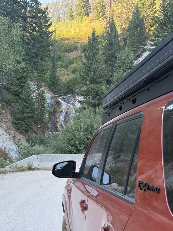
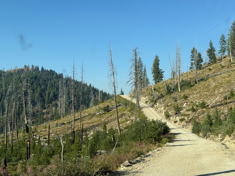
Pretty easy trail although there are some narrow spots along the way. Gets a bit bumpy and rocky as you head toward Atlanta but nothing difficult.
PS
Paul Smith
No Rating
Open
Visited: 09/01/2026
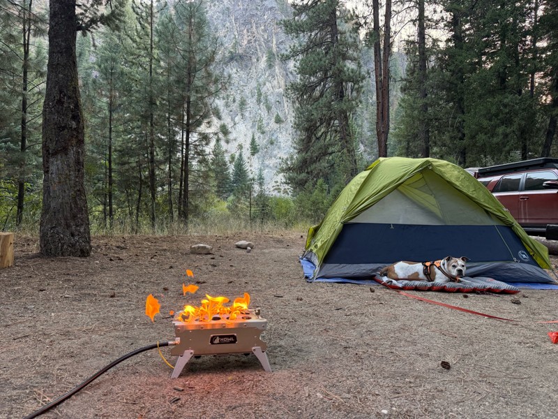
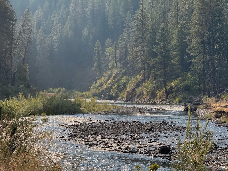
Beautiful and easy road. The smoke was wildfires was pretty bad but that can change. Any stock vehicle could do this at the moment. Campsites were all nearly empty which was a bonus.
PS
Paul Smith
Rated 3/5
Open
Visited: 08/22/2026
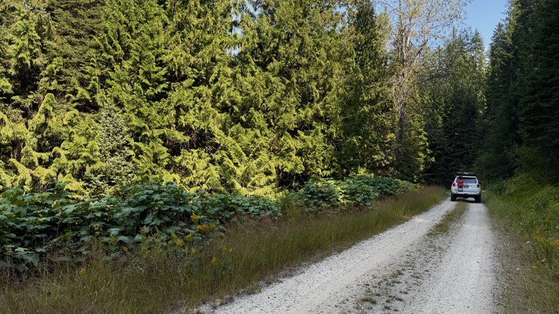
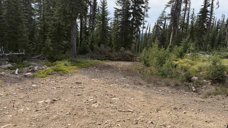
If it wasn't a very exciting trail, it still gets three stars because of how well-maintained it is. I can't even recall one single pothole the whole 4.5 miles. Otherwise, I was just using it as a conn...
Lorraine Bourget
Official Crew
Rated 3/5
Open
Visited: 08/22/2026
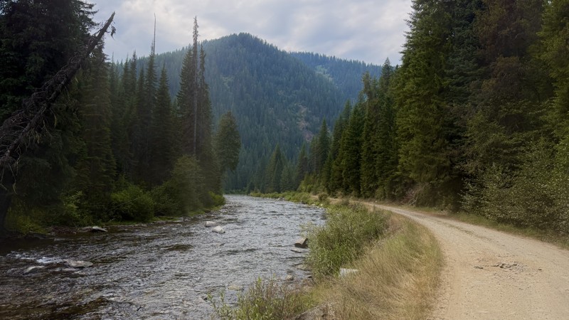
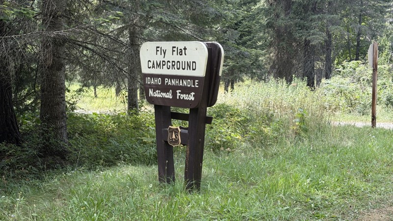
While it was a beautiful drive along the river, I'm rating this road 3 stars. Honestly, I planned my weekend around having the least amount of human contact possible but this section of my loop had ot...
Lorraine Bourget
Official Crew
Rated 5/5
Open
Visited: 08/22/2026
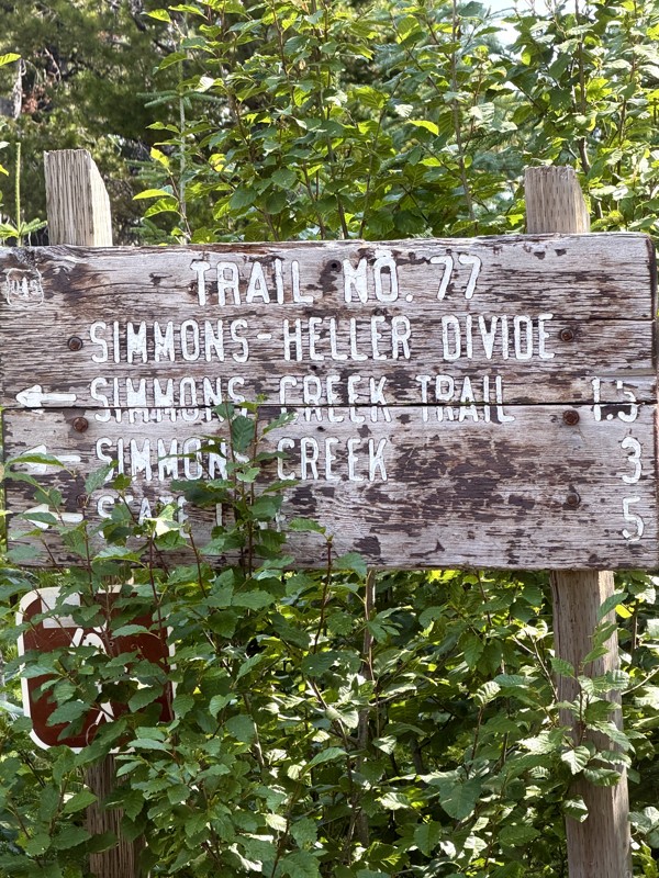
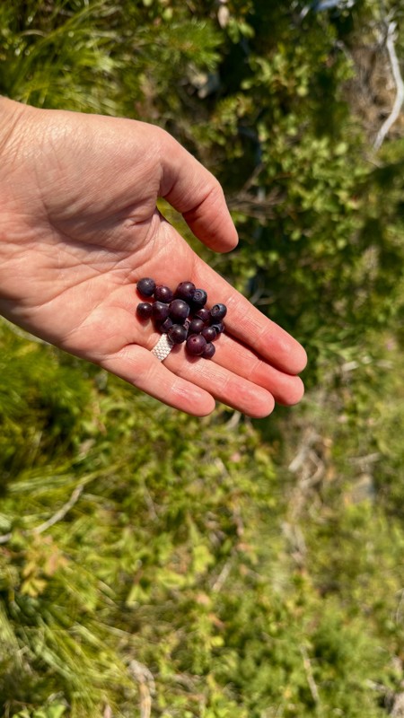
This trail holds a somewhat sentimental value to me. I randomly stumbled across it a couple of years ago when searching for somewhere to use my shower at the top of a mountain. Little did I know I wou...
Lorraine Bourget
Official Crew
Rated 4/5
Open
Visited: 08/21/2026
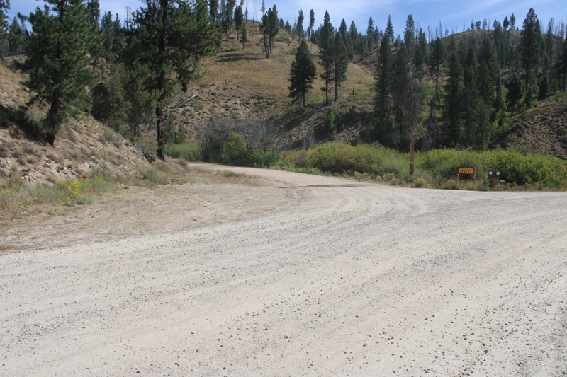
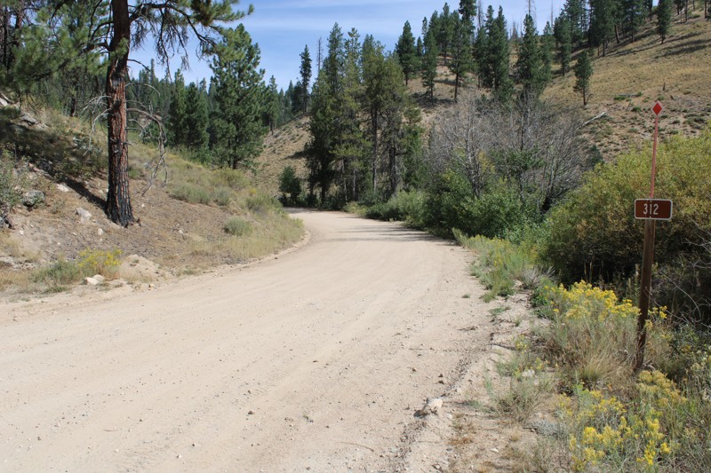
Pike's Fork Road is a spectacular drive into the heart of the Boise National Forest! One of the many dispersed campsites along its length makes an excellent destination for one night on a multi-night...

Bill Ward
Official Crew
Rated 5/5
Open
Visited: 08/16/2026
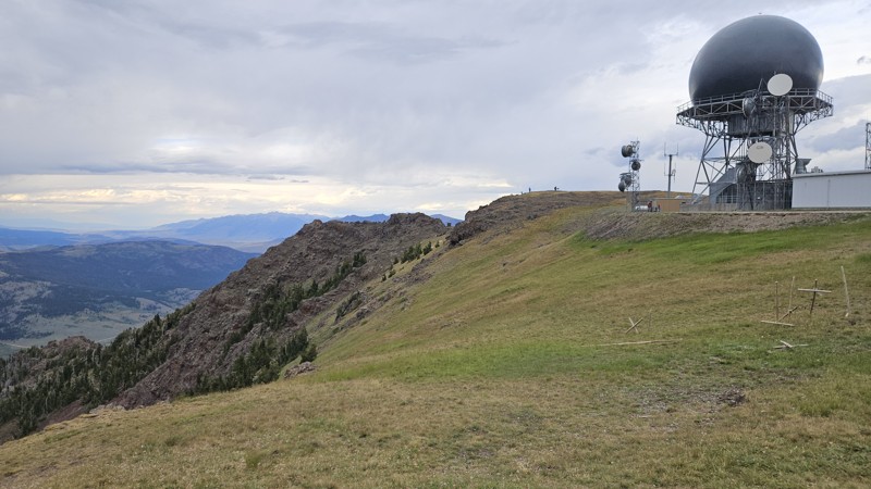
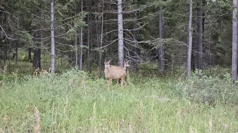
One person can give a group a bad name, especially in the side-by-side world, and that one was on the trail tonight like it was his private racetrack. Otherwise, a very peaceful and enjoyable drive. T...

Cory Wooldridge
Official Crew
Rated 5/5
Open
Visited: 08/11/2026
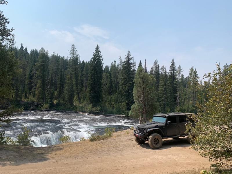
Great Jeep trail! Had fun running it and in pretty good shape. Dry and dusty with a few sections of rocks on decline/incline depending on what direction you’re going. No issues in my lifted Jeep. Not ...
JJ
Jill Jensen
No Rating
Open
Visited: 08/11/2026
Per the MVUM, the trail is seasonally open. As always, check current fire restrictions/closures before venturing out.

Trails Offroad
Official Crew
Open
Visited: 08/11/2026
Per the MVUM, the trail is seasonally open. As always, check current fire restrictions/closures before venturing out.
Trails Offroad
Official Crew
No Rating
Open
Visited: 08/11/2026
Per the MVUM, the trail is seasonally open. As always, check current fire restrictions/closures before venturing out.
Trails Offroad
Official Crew
No Rating
Open
Visited: 08/11/2026
Per the MVUM, the trail is seasonally open. As always, check current fire restrictions/closures before venturing out.
Trails Offroad
Official Crew
No Rating
Open
Visited: 08/11/2026
Per the MVUM, the trail is seasonally open. As always, check current fire restrictions/closures before venturing out.
Trails Offroad
Official Crew
No Rating
Open
Visited: 08/11/2026
Per the MVUM, the trail is seasonally open. As always, check current fire restrictions/closures before venturing out.

Todd
Official Crew
No Rating
Open
Visited: 08/11/2026
Per the MVUM, the trail is seasonally open. As always, check current fire restrictions/closures before venturing out.
Todd
Official Crew
No Rating
Open
Visited: 08/11/2026
Per the MVUM, the trail is seasonally open. As always, check current fire restrictions/closures before venturing out.
Todd
Official Crew
No Rating
Open
Visited: 08/11/2026
Per the MVUM, the trail is seasonally open. As always, check current fire restrictions/closures before venturing out.
Todd
Official Crew
No Rating
Open
Visited: 08/11/2026
Per the MVUM, the trail is seasonally open. As always, check current fire restrictions/closures before venturing out.
Todd
Official Crew
No Rating
Open
Visited: 08/11/2026
Per the MVUM, the trail is seasonally open. As always, check current fire restrictions/closures before venturing out.
Todd
Official Crew
No Rating
Open
Visited: 08/11/2026
Per the MVUM, the trail is seasonally open. As always, check current fire restrictions/closures before venturing out.
Todd
Official Crew
No Rating
Open
Visited: 08/11/2026
Per the MVUM, the trail is seasonally open. As always, check current fire restrictions/closures before venturing out.
Todd
Official Crew
No Rating
Open
Visited: 08/11/2026
Per the MVUM, the trail is seasonally open. As always, check current fire restrictions/closures before venturing out.
Todd
Official Crew
No Rating
Open
Visited: 08/11/2026
Per the MVUM, the trail is seasonally open. As always, check current fire restrictions/closures before venturing out.
Trails Offroad
Official Crew
No Rating
Open
Visited: 08/11/2026
Per the MVUM, the trail is seasonally open. As always, check current fire restrictions/closures before venturing out.
Trails Offroad
Official Crew
No Rating
Open
Visited: 08/11/2026
Per the MVUM, the trail is seasonally open. As always, check current fire restrictions/closures before venturing out.
Trails Offroad
Official Crew
No Rating
Open
Visited: 08/11/2026
Per the MVUM, the trail is seasonally open. As always, check current fire restrictions/closures before venturing out.
Trails Offroad
Official Crew
No Rating
Open
Visited: 08/11/2026
Per the MVUM, the trail is seasonally open. As always, check current fire restrictions/closures before venturing out.
Trails Offroad
Official Crew
No Rating
Open
Visited: 08/11/2026
Per the MVUM, the trail is seasonally open. As always, check current fire restrictions/closures before venturing out.
Trails Offroad
Official Crew
No Rating
Open
Visited: 08/11/2026
Per the MVUM, the trail is seasonally open. As always, check current fire restrictions/closures before venturing out.
Trails Offroad
Official Crew
No Rating
Open
Visited: 08/11/2026
Per the MVUM, the trail is seasonally open. As always, check current fire restrictions/closures before venturing out.
Trails Offroad
Official Crew
No Rating
Open
Visited: 08/11/2026
Per the MVUM, the trail is seasonally open. As always, check current fire restrictions/closures before venturing out.
Trails Offroad
Official Crew
No Rating
Open
Visited: 08/11/2026
Per the MVUM, the trail is seasonally open. As always, check current fire restrictions/closures before venturing out.
Trails Offroad
Official Crew
No Rating
Open
Visited: 08/11/2026
Per the MVUM, the trail is seasonally open. As always, check current fire restrictions/closures before venturing out.
Trails Offroad
Official Crew
No Rating
Open
Visited: 08/11/2026
Per the MVUM, the trail is seasonally open. As always, check current fire restrictions/closures before venturing out.
Trails Offroad
Official Crew
No Rating
Open
Visited: 08/11/2026
Per the MVUM, the trail is seasonally open. As always, check current fire restrictions/closures before venturing out.
Trails Offroad
Official Crew
No Rating
Open
Visited: 08/11/2026
Per the MVUM, the trail is seasonally open. As always, check current fire restrictions/closures before venturing out.
Trails Offroad
Official Crew
No Rating
Open
Visited: 08/11/2026
Per the MVUM, the trail is seasonally open. As always, check current fire restrictions/closures before venturing out.
Trails Offroad
Official Crew
No Rating
Open
Visited: 08/11/2026
Per the MVUM, the trail is seasonally open. As always, check current fire restrictions/closures before venturing out.
Trails Offroad
Official Crew
No Rating
Open
Visited: 08/11/2026
Per the MVUM, the trail is seasonally open. As always, check current fire restrictions/closures before venturing out.
Trails Offroad
Official Crew
No Rating
Open
Visited: 08/11/2026
Per the MVUM, the trail is seasonally open. As always, check current fire restrictions/closures before venturing out.
Trails Offroad
Official Crew
No Rating
Open
Visited: 08/11/2026
Per the MVUM, the trail is seasonally open. As always, check current fire restrictions/closures before venturing out.
Trails Offroad
Official Crew
No Rating
Open
Visited: 08/11/2026
Per the MVUM, the trail is seasonally open. As always, check current fire restrictions/closures before venturing out.
Trails Offroad
Official Crew
No Rating
Open
Visited: 08/11/2026
Per the MVUM, the trail is seasonally open. As always, check current fire restrictions/closures before venturing out.
Trails Offroad
Official Crew
No Rating
Open
Visited: 08/11/2026
Per the MVUM, the trail is seasonally open. As always, check current fire restrictions/closures before venturing out.
Trails Offroad
Official Crew
No Rating
Open
Visited: 08/11/2026
Per the MVUM, the trail is seasonally open. As always, check current fire restrictions/closures before venturing out.
Trails Offroad
Official Crew
Most Popular
Updated: 06/05/2022
West Mountain Trail
Horseshoe Bend, Idaho
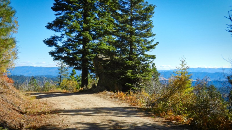
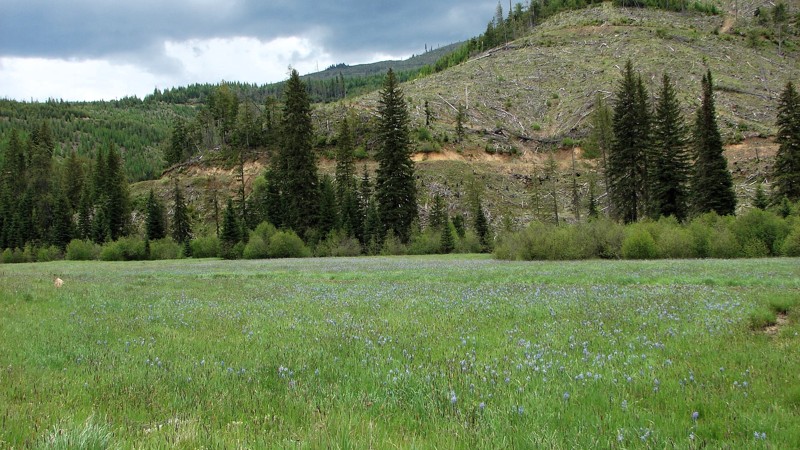
West Mountain Trail is in the beautiful and diverse Boise National Forest. It is just a few miles south and east of Sagehen Reservoir. This trail climbs to over 6,000-feet with the reservoir at 4,800-feet. The rainbow trout fishing is fantastic due to the campgrounds closing occasionally for logging activities for fire management. This area has something for everyone! Boating, fishing, swimming, hiking, hunting, camping, snowmobiling, or 4-wheeling! All of that and less than 2 hours north of Boise, Idaho. If you're new to the area, the drive north from Horseshoe Bend is an experience in itself, along the beautiful and internationally known Payette River for its rafting and Kayak competitions. When you leave the river to head inland you'll have 5 miles of beautiful dirt roads just to get to this trailhead!

Updated: 06/04/2026
Palouse River Road
Harvard, Idaho
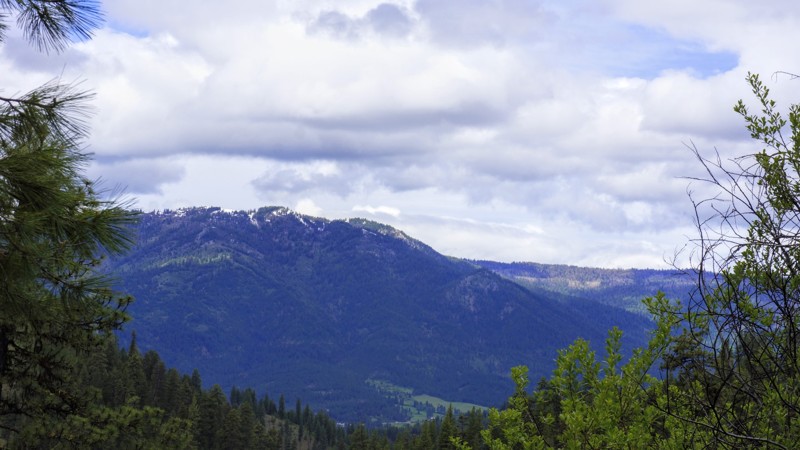
The Palouse River Road is an easy gravel road varying from one to two lanes wide and can be driven by any vehicle. Like many mountain roads, there are sections that are heavily wooded with restricted views and areas that are more open to the panoramic scenery. In the late spring and early summer some of the fields are tinted purple from the abundance of camas flowers! The biggest hazards along this road are blind curves, dust, and washboard. There is active logging in the area thus users should be prepared to encounter and avoid logging trucks. Along the drive, you will encounter long sections of road that wind along the Palouse River, providing a varying and exciting scenic nature for the drive. There are ample areas for dispersed camping, mainly along the river, and two campgrounds: Laird County Park on the west end and Emerald Creek Campground on the east end. Both of these campgrounds are developed campgrounds with tables, fire rings, and pit toilets. Laird Park also has a day-use area and a swimming beach.
Parts of the Palouse River Road pass through land owned by the Potlatch forest products company. They have their own rules for camping (mostly, they lease campsites to individuals), so camping on Potlatch property should be avoided. Potlatch also has a “recreational fee” for exploring off of the main road on their land, and they often check users for permits. So, be aware of land ownership and enjoy the nice drive through Potlatch property.
There are numerous signs along the road describing where you can and can’t dig for garnets. The Garnet is the State Gem of Idaho and can be “mined” by individuals in the northern part of the state. The Palouse River Road goes right through the heart of garnet mining country, and opportunities are abundant for digging for the little black gems. More information for digging for garnets in Idaho can be found via a simple internet search.
Updated: 06/05/2022
Little Anderson Creek
Banks, Idaho
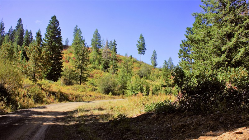
Little Anderson Creek is in the beautiful Boise National Forest. The trail starts just north of Garden Valley which is noted for its large Elk population. This trail was originally used to drive cattle from Scott Mountain to market, and the logging industry brought their timber down to Horseshoe Bend until Boise-Cascade shut down the mill in 1998. Today, it's all about recreation and it's in a popular hunting area as well. During this trail write-up, elk, deer, and turkeys were spotted as well as a hunter looking for a bear. After every storm, you will encounter downed trees so be prepared to remove them or limit your time on the trail. Remember to "Stay The Trail". In most instances, you couldn't go around them even if you wanted due to the shelf nature of most of the trail. There are several no-name spurs off this trail for dispersed camping away from the main trail.
Updated: 10/18/2022
Dry Buck
Banks, Idaho
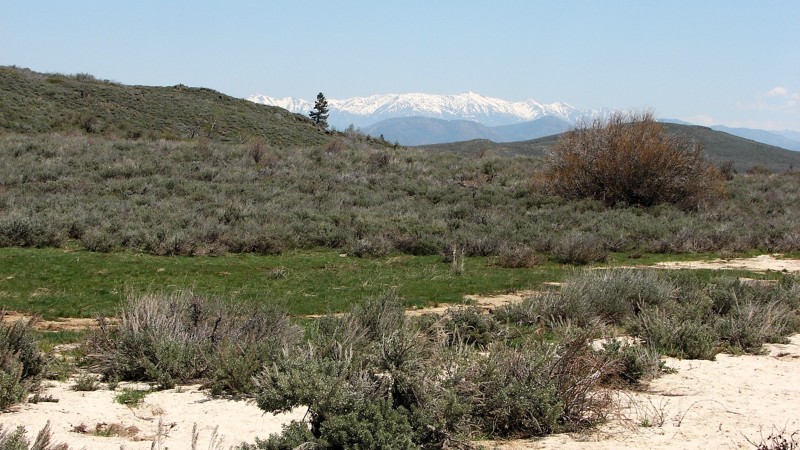
Dry Buck Trail is between the Dry Buck Valley and High Valley. The drive to either trailhead through these valleys is an experience you don't want to miss. It is recommended to make a loop from Highway 55 to Highway 55, a distance of 26 miles. Once on the trail, you'll experience the beautiful scenery this trail has to offer. There are free-range cattle throughout the trail from ranches in the valleys dating to the 1800s. Depending on the time and the season, you can experience every wild animal that Idaho has to offer. Deer, elk, bear, lion, and wolves, which all have hunting seasons starting in August. When camping, be mindful of the animals that call this forest their home and keep close watch over your children and pets.
Updated: 10/15/2024
Bennett Mountain Road
Castle Rocks, Idaho
Bennett Mountain Road goes over the top of the Bennett Mountain range north of Mountain Home, Idaho. On the north, it starts from Highway 20 on the south side of Cat Creek Summit. The road sign along 20 actually calls it Cat Creek Road, but the forest service calls it Bennett Mountain Road and National Forest Development Road 156. At the south end of the designated route, the road becomes paved and can be followed to near Glenn’s Ferry, Idaho.
Roads crossing mountain ranges tend to have spectacular views; Bennett Mountain Road is no exception. The views of the peaks above the road, the Sawtooth Mountains to the north, and the Snake River Plain to the Owyhee Mountains in the south make this a spectacularly beautiful road to travel! The road itself goes through stands of aspen and birch mixed with open grassy meadows and areas of sagebrush, making the roadside scenic and interesting to complement the longer views.
It is a seasonally well-maintained gravel road that can be driven in any vehicle. It is minimally maintained in winter and is often blocked by snow. Wash-boarding of the road surface is likely to become a problem later in the summer. Dispersed camping is allowed along the road where it crosses public land. Please be aware that there are in-holdings of private land that must be respected.

Updated: 08/28/2023
Banner Creek Road
Idaho City, Idaho
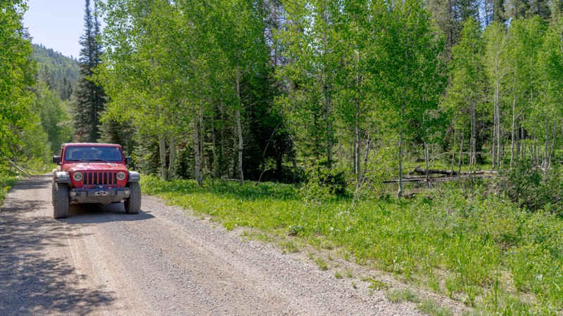
Banner Creek Road, FR-385, is a mountain ridge road offering knockout views of the Kirkham Ridge, Lowman Valley, and leads to an abandoned mining ghost town located in the central part of the Boise National Forest. WesternMiningHistory.com has a great article about the lifespan of the mining town of Banner. The Boise National Forest covers a vast 2.5 million acres ranging from forest and grassland. This trail is approximately an hour and a half from Boise and 35 minutes from the historic mining town of Idaho City. The trail descends down along Banner Creek and should connect with Pikes Fork 312, but currently ends just past the ghost town of Banner due to road conditions and washouts. There are a few dispersed campsite options on this trail as pullovers or off the road.
Updated: 10/15/2024
Diamond Creek Road
Georgetown, Idaho
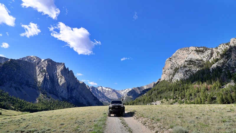
Diamond Creek Road is a long stretch providing access to numerous ATV/UTV and hiking trails and a large dispersed camping area in the Webster Range. Much like Georgetown Canyon to the south, you'll notice beaver ponds and lodges along Diamond Creek. The vast majority of the camping is available along a 5-mile stretch in the center of this route. Some sites are individually isolated, while others are part of the Diamond Creek Camp dispersed camping area. You will also pass the Johnson Guard Station, which is a reservable cabin.
Updated: 08/11/2026
Upper Pahsimeroi
Goldburg, Idaho
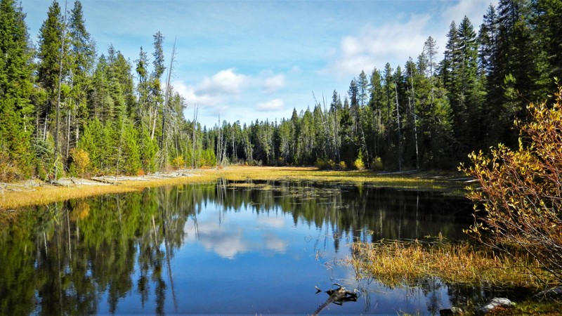
Winding through the eastern slopes of Idaho’s towering Lost River Range, the Upper Pahsimeroi Road is a remote and breathtaking backcountry route often dubbed the "Swiss Alps of Idaho." This slow-going, rocky dirt road isn’t technical but does require a high-clearance vehicle. Drivers can expect occasional potholes, stream crossings, and small football-sized exposed rocks.
As you travel this lightly trafficked corridor, you’ll be surrounded by expansive alpine meadows, spruce-filled forests, and the looming presence of Idaho’s tallest peaks, such as Mount Borah, Leatherman, Church, and Breitenbach, all soaring beyond 12,000 feet. Numerous trailheads branch off the main route, offering direct access into the wilderness and to summit routes coveted by hikers and mountaineers alike.
The road is best accessed in summer or early fall, either from Pass Creek route or Horse Heaven Pass via Doublesprings. Dispersed camping opportunities are plentiful, along the East Fork Pahsimeroi River, beneath ridgelines, or tucked in beside dense forest stands. Trailers are not recommended unless they have a good suspension setup.
Wild, scenic, and serene, the Upper Pahsimeroi Road is your gateway to Idaho’s high alpine heart.
Updated: 06/05/2022
Pine Creek Meadow
Horseshoe Bend, Idaho
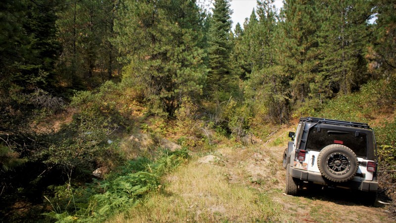
Pine Creek Meadow is in the Boise National Forest and south of the area known as Sagehen Reservoir. The Sagehen area, as well as this trail, are less than 2 hours from Boise making it the perfect getaway spot for a few hours of offroad wheeling and camping in one of the dozens of dispersed campsites you can find on these trails or being a bit more comfortable in one of four improved campsites at the lake. The rainbow trout fishing is fantastic due to the campgrounds closing occasionally for logging activities for fire management. This trail has a highlight feature in its own right; it has a meadow. At the halfway point in the trail, there is a small lake with the meadow extending beyond the north end. There is a fantastic camping spot right at the edge of the lake and one can only imagine the wildlife that enjoys this resource each day. This area is known for its deer, elk, bear, wolves, and cougars just to name the predators, so be aware and don't become the game.
Updated: 06/05/2022
New Pine Creek
Horseshoe Bend, Idaho
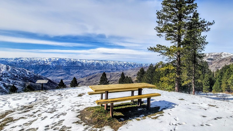
New Pine Creek is in the Boise National Forest and south of the area known as Sagehen Reservoir. Sagehen and this trail are less than 2 hours from Boise making it the perfect getaway spot for a few hours of offroad wheeling, camping in one of the dozens of dispersed campsites you can find on these trails, or being a bit more comfortable in one of four improved campsites at the lake. The rainbow trout fishing will be fantastic in 2021 since the campgrounds have been closed all of 2020 because of logging activities for fire management. Beautiful bull elk can be spotted along this trail, as well as much other wildlife.
Updated: 10/15/2024
Deer Creek Road
Copperville, Idaho
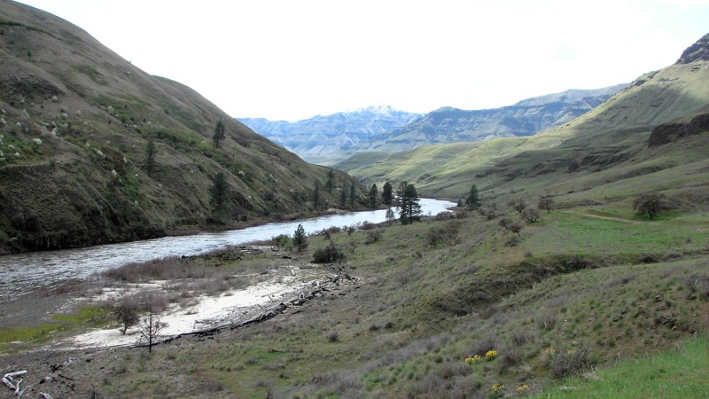
Deer Creek Road, Forest Service Road 493, is an incredible drive that traverses the Nez Perce-Clearwater National Forest and Hells Canyon National Recreation Area, the deepest gorge in North America. This trail offers spectacular views of the surrounding Cold Springs Mountain Range.
Dry Creek Road runs from the small town of White Bird in the east off Highway 95 to Pittsburgh Landing in the west, which offers access to the mighty Snake River. Pittsburgh Landing has a nice campground with basic facilities and a boat launch. The fee is $15 per night.
This is an easy trail that any vehicle can handle. 4WD is not necessary. The gravel road is well-maintained but does have a couple of sharp hairpin turns alongside a sheer drop-off with no guard rail.
Updated: 10/15/2024
Eagle Creek Road
Zaza, Idaho
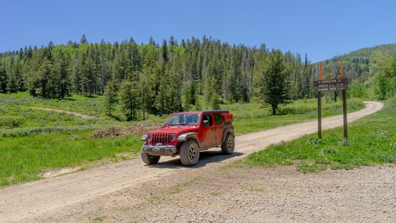
Eagle Creek Road is located within the Craig Mountain Wildlife Management Area and goes from Zaha Road down to and along the Salmon River. The first section of the road, down to the river, is a well-maintained gravel road varying from one to two lanes wide. Along this stretch, there are many significant water bars that are deep, steep, high, and with sharp rollovers on the top. Navigating these water bars without scraping requires good angles of attack, rollover, and egress.
Along the river, the second section is a minimally maintained dirt and gravel road with numerous stretches of large, sharp, loose rocks. This includes a 12-degree grade with loose, slippery rocks and might be difficult without a four-wheel drive.
The road ends at a gate with a sign saying no motor vehicles beyond that point. A short walk past the gate is the Wapshilla Airport, a dirt backcountry strip and a cabin with outbuildings.
The views of the river are somewhat limited by the narrow canyon and abundant trees. Along the lower section are magnificent views of the Salmon River and surrounding mountains. There are many nice beaches along the river. There are ample places to disperse camp along the bottom along the river. The Salmon River is a strict pack-it-in and pack-it-out area, including campfire ash and human waste. Campfires must be in enclosed fire pits, and porta-potties are required.
Updated: 10/15/2024
Georgetown Canyon Road
Georgetown, Idaho
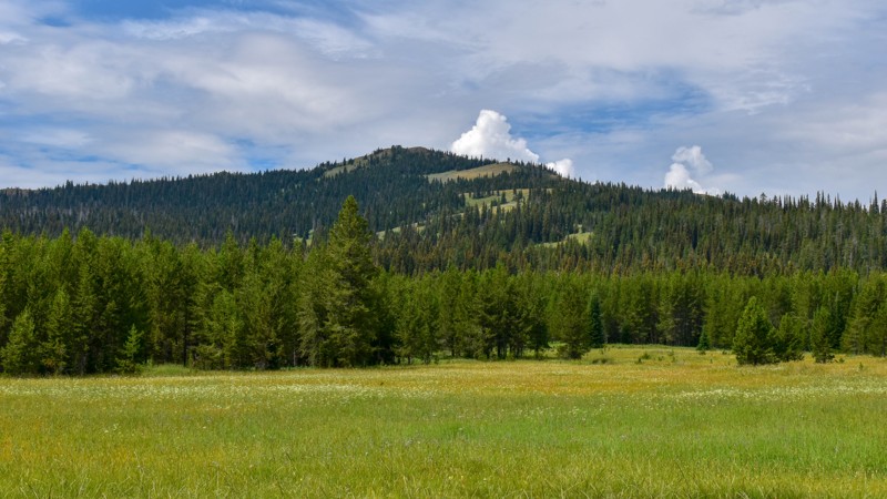
Georgetown Canyon Road is a great route to take you off Highway 30 directly out of Georgetown and into the Caribou-Targhee National Forest. Heading north out of Georgetown, the trail becomes a little more scenic about halfway through, and between that point and the end of the route, you'll come across 2-3 dispersed campsites. This road also runs along a creek that beavers have done substantial work on. You can easily see their ponds and even large dens.
Updated: 01/20/2026
Two Top-Canyon Creek
Big Springs, Idaho
Two Top-Canyon Creek trail winds through steep mountain hillsides near Mount Two Top, reaching an elevation of 8661 feet and leading into Tygee Creek Basin. The trail ends close to the Continental Divide Hiking Trail and is just a quarter mile from the Montana-Idaho border. It's an out-and-back trail with some bumpy sections, exposed rocks, ruts, and puddles.
The trail is surrounded by lush foliage and trees, making it an ideal spot for picking mountain berries. There is one obvious campsite along the creek, offering a beautiful setting with trees for a makeshift bridge to access the hiking trail on the other side of the creek.
Updated: 08/11/2026
Snowbank Mountain Lookout
Cabarton, Idaho
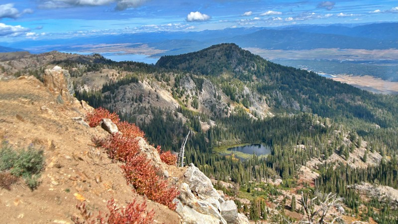
Explore the beauty of Snowbank Mountain, also referred to as NF-446. This scenic route leads you through breathtaking alpine lakes, past an FAA radar station, and eventually to an antenna tower boasting panoramic views that stretch out over the vast expanse of Lake Cascade, extending for miles in every direction. Snowbank Mountain stands tall as the highest peak in the West Mountains range.
As you embark on this adventure, you'll find the journey smooth and well-maintained up to the radar facility, thanks to the FAA's presence in the area. Beyond the radar station, the trail becomes more challenging, with a narrower path and rougher terrain, complete with washout gullies, especially on the inclines.
Upon reaching the pinnacle, you'll be rewarded with breathtaking vistas. From this vantage point, you can admire the entire West Mountains range, catch a glimpse of the Seven Devils, and take in most of the Salmon River Mountains, including the Lick Creek Range near McCall.
You'll be spoiled for choices when choosing a spot to set up camp. Consider camping overlooking Blue Lake's picturesque surroundings, or opt for a site close to the trail for added convenience. Whichever you choose, Snowbank Mountain promises an unforgettable outdoor experience with awe-inspiring natural beauty at every turn.
Updated: 06/05/2022
Quarry Mountain Road
Horseshoe Bend, Idaho
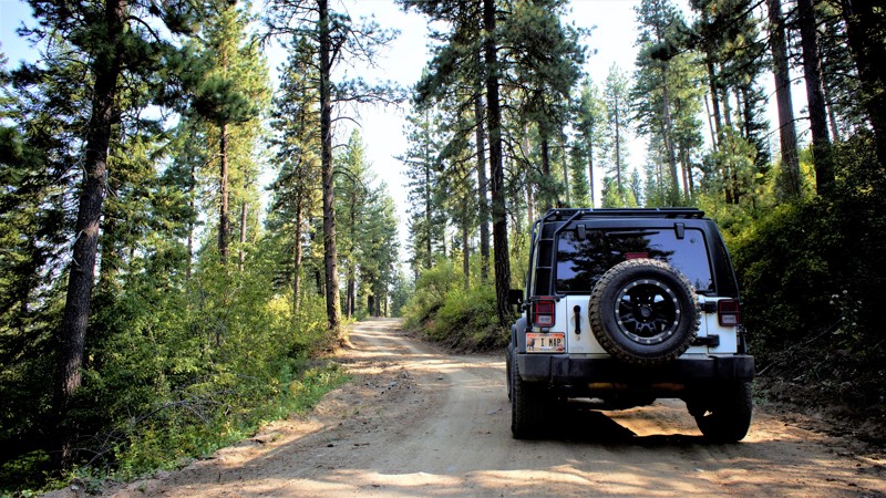
Quarry Mountain Road is in the beautiful and diverse Bureau of Land Managemen (BLM) forest. It is only 18 miles north of Horseshoe Bend and one hour from Boise, the state capital. Unlike the National Forests, this BLM area is also sub-managed by the Idaho Endowment Lands.
The area offers fantastic views, absent any forest fires, and is a playground for OHV and larger 4WD vehicles. The gravel road from Horseshoe Bend is an adventure as well, traversing beautiful ranch lands with their free-range cattle.
Drive with care. You will also pass "Zip Idaho" where you can zip-line through the forest. The trail itself leads to a gravel quarry by way of a spur trail with a lockable gate at that trail's end. In hunting season expect and respect hunters trailering their side-by-sides into the mountains for their annual deer or elk. While camping, be watchful for the predators. The area is home to mountain lions, bears, and wolves.
Updated: 08/13/2026
Barber Flat
Tenmile Summer Home Area, Idaho
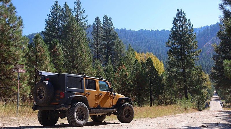
Barber Flat - Jeep Trail 376, also known as Road Creek Road, can begin at Middle Fork Road or at North Fork Boise River Road. The trail climbs to over 5,000 feet with amazing views of the North Fork Boise River to the north, Middle Fork Boise River to the south, and the surrounding ridges. The trail is part of Section 2 of the Idaho Backcountry Discovery Route. This area has several multi-use trails for hikers, mountain bikers, SXSs, and jeeps. High clearance vehicles are recommended for this trail as there are numerous washouts and off-camber concerns. Barber Flat is a single lane with few areas to pull over for passing. Close to the top are spots for camping with plenty of room to turn around and fantastic views of the surrounding mountain range.
Updated: 10/15/2024
Anderson Creek
Cascade, Idaho
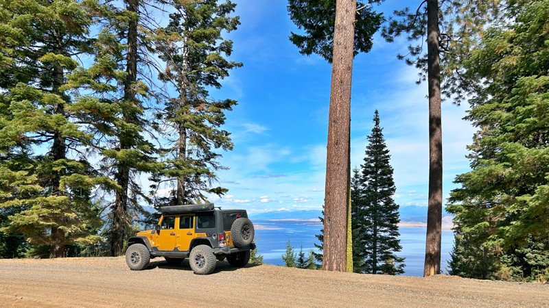
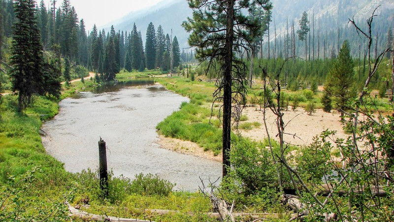
Also known as NF-435, Anderson Creek Road gently winds its way beside the Cascade Reservoir for at least seven miles, offering enchanting views of the lake while nestled within the vibrant evergreen and hardwood woodlands. Beginning its course at the base of the mountain along West Mountain Road, Anderson Creek Road concludes at the Four Corners trailhead. While the road may narrow in certain sections, it remains pretty accessible as a standard forest service road. There were no apparent campsites to be found along this route.
Updated: 10/30/2024
Johnson Creek Road
Landmark, Idaho
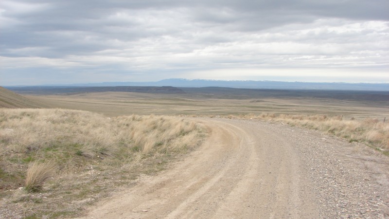
Johnson Creek Road is the southern ingress and egress for the little town of Yellow Pine, which usually has fuel, supplies, and a few restaurants. Johnson Creek is an easy gravel road suitable for any vehicle, but it is pretty dusty and has severe washboards for much of its length. While much of the road is through dense forest with few opportunities for expansive views, on the northern end, it follows Johnson Creek, and things open up considerably. Johnson Creek is quite scenic and well worth stopping to enjoy. There are multiple campgrounds along Johnson Creek Road and ample opportunities for dispersed camping in well-established sites.
The signage along the road indicates heavy truck traffic, presumably logging trucks. There are many blind curves where oncoming logging trucks could present real hazards. The only other main hazards are the dust and washboards.
Updated: 04/25/2025
Crow's Nest Road
Hagerman, Idaho
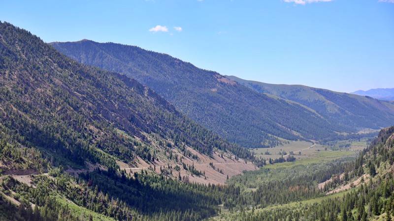
Crow’s Nest Road is a pleasant drive through the wide-open Southern Idaho Desert. The terrain varies from slightly rolling hills, shallow ridges, rocky outcroppings, and canyons. Most of the area is open range, so beware of cattle on the road. The road is easily driven in the family sedan. For those with more capable vehicles and a sense of adventure, numerous two-track spurs ipe for further exploration lead off Crow’s Nest Road.
Crow’s Nest Road is accessed on the north from Highway 30, just south of the Snake River. Take the turn as if you were going to the ancient horse archaeological site. After a few miles, turn left onto Saylor Creek Road. When you get to the Y in the road, at the offroad motorcycle play area, veer right onto Crow’s Nest Road. The first few miles go through a large motorcycle play area with many trails going up the hills. Be careful for unwary riders on the main road!
After about ten miles, a sign indicates entry into the Saylor Creek Wild Horse Management Area. Saylor Creek HMA is over 100,000 acres and home to approximately 130 protected wild horses. It also has deer, elk, antelope, and many other wild game species. Crow’s Nest Road follows along the Saylor Creek HMA for much of its length.
Although dispersed camping is allowed in the area, no great camping spots are right along the road. There may be good spots along the side roads and trails. The developed campground at Balanced Rock Park is a few miles down the pavement from the south end of Crow’s Nest Road. Nearby Balanced Rock is worth a side trip to see one of the grandest wind-carved monoliths in the country! From the parking area, it looks big. If you walk up to it, it looks HUGE! And the views from up there are pretty spectacular.
Updated: 10/15/2024
Trail Creek Road
Sun Valley, Idaho
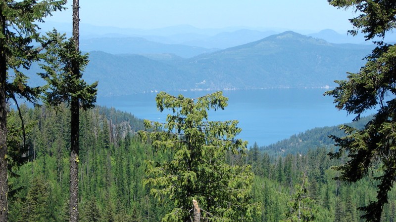
Embark on an unforgettable journey along Trail Creek Road, a route not recommended for heavy vehicles and trailers due to safety concerns. This gravel, minimally maintained road is closed during the winter but reopens with the return of warmer weather. For those seeking a thrilling drive, Trail Creek Road offers a scenic path between Sun Valley and Big Lost Valley. Locals often use it as a shortcut to U.S. 93, providing access to Mackay and Challis, Idaho.
The road's rough, gravel surface, barely wide enough for two lanes, includes steep drop-offs and is susceptible to rockslides and washouts. It is only passable in summer, as winter snow accumulates to double-digit depths, rendering it impassable. Additionally, dirt and rock avalanches frequently damage the road during winter. Reopening the trail each spring typically requires 4-6 days of work by a dedicated road grader.
Several turnoffs along the route allow you to either set up dispersed camping or stay in designated campgrounds.
Updated: 06/15/2026
Bunco-High Drive
Belmont, Idaho
Bunco-High Drive is one of the longest continuous routes in the Idaho Panhandle National Forest and ranks among the most scenic. Spanning from near Highway 95 to the Clark Fork area, this route offers a wide variety of terrain, forest landscapes, and recreation access along its length.
The first 40 miles, starting from Highway 95, range from well-graded two-lane gravel to narrower single-lane dirt sections. Numerous pullouts make it easy for vehicles to pass, and most of this stretch can be driven with a vehicle that has moderate ground clearance. Dispersed and established campsites are scattered throughout this portion of the road.
The final 10 miles, beginning near Dry Creek Road (FS 203), become much narrower and more overgrown. Pinstriping from brush is likely, and several downed trees have been cleared just enough to allow passage. Higher ground clearance is recommended for this section, though drivers can bypass it by turning off at FS 203 and descending to Clark Fork.
Bunco-High Drive also connects to multiple side roads and trailheads, though many spurs require more capable vehicles. Hiking opportunities are available along the way, offering a chance to step out and enjoy the forest from a different perspective.
While the route is largely accessible, drivers should watch for small but deep potholes that can be hard to see when sunlight filters through the trees. There are also minor washouts and rocky patches where the roadbed has worn thin. Overall, Bunco-High Drive provides a scenic, lightly challenging journey that rewards drivers with sweeping views and quiet forest solitude.
Updated: 10/15/2024
High Valley
Ola, Idaho
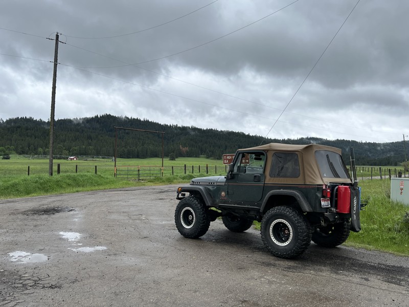
This trail starts in the small town of Ola, Idaho. Right after Muley's, the only restaurant in town, turn right on NF 644, High Valley Road.
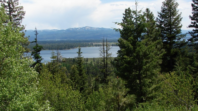
High Valley is a beautiful drive up and over the mountains. Gaining and then losing just over 2,600 feet in under 20 miles makes the trip seem to cover more distance than it actually does. This trail starts and ends with a bar/restaurant at either end (Muleys in Ola and Cougar Mountain Lodge in Smith's Ferry), making for the perfect trail to run over the mountain to eat lunch or dinner from either direction. This trail leaves the sagebrush of lower Idaho and winds up through the trees. There are multiple mountain springs, ponds, and green meadows along the way.
The road is mostly a graded gravel road. But there are plenty of potholes, so be ready to slow down. There are steep switchbacks and blind corners, so the driver needs to pay attention. There are many old barns, lodgepole cattle chutes, and even some old Broncos and Jeep pickups rusting away in long-forgotten farmer's fields to entertain the people on the drive. If you are looking for an easy, sightseeing trail with plenty of along-the-road dispersed camping by burbling creeks, this is the trail for you. This trail connects to Idaho Highway 55, making this an overlander's dream of staying off the pavement while covering a lot of ground.
Updated: 10/15/2024
National Forest Development Road 186
Mesa, Idaho
The road starts as Middle Fork Road and then morphs into its namesake National Forest Development Road 186. It provides a crossover from just south of Council, Idaho, on Highway 95 on the west end to Donnelly, Idaho, on Highway 55 on the east end. It is a well-maintained gravel road that climbs up and over No Business Saddle just before dropping into Donnelly. There are spectacular panoramic views from the top, but in many cases, the views are blocked by the trees. The biggest hazard along the road is the combination of choking dust and blind curves and one should anticipate washboards.
Cabin Creek Campground is the only developed National Forest campground along the road; check Recreation.gov for the latest fees and open or closed status. There are also ample opportunities for dispersed camping just off the road and often right along the river when on public land.

Upgrade your Membership
Unlock all of the details on every Trail Guide and Scout Route.
Start a 7-day Free TrialCommunity
Partners

