



By clicking "ACCEPT", you agree to be the terms and conditions of each policy linked to above. You also agree to the storing of cookies on your device to facilitate the operation and functionality of our site, enhance and customize your user experience, and to analyze how our site is used.
Idaho Off-Road Trails
63
Total Trail Guides 60

644
Detailed Waypoints 302
Try a Free 7-Day Trial and unlock it all
Start a Free Trial Most Recent Trail Reviews
No Rating
Open
Visited: 09/19/2026
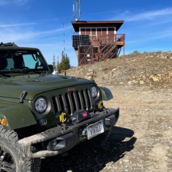
Fun drive, lots of dirt bikes and a few BDR Moto riders. Drove it in reverse direction.

Kim Richards
No Rating
Open
Visited: 09/19/2026
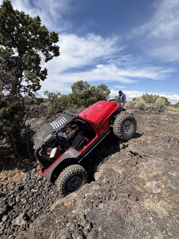
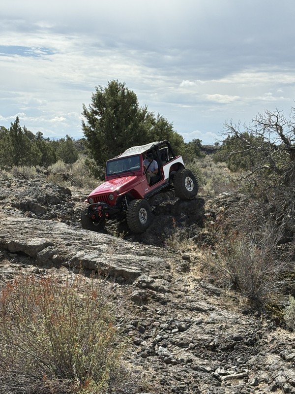
This trail was a great time. It is very unique, ive never been on a trail like it. the lava rock has plenty of traction and is pretty nasty on tires. But all in all I would recommend it to be done at ...
JP
Jared Pyne
Rated 3/5
Open
Visited: 09/15/2026
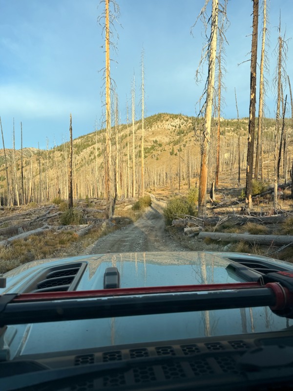
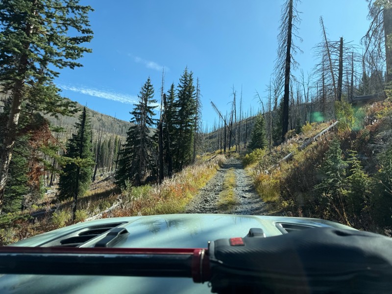
Trail consists of mostly narrow 2-track. Softball to soccer ball sized rocks. Slow going. Most of this forestland experienced fire in the past few years and is still recovering. Pulled a 9’ off-road t...
JH
Jason Holmes
No Rating
Open
Visited: 09/05/2026
Been going here for 57 years and the road keeps getting easier and easier. Sedans can make it.
BC
Bruce Chadwick
Rated 4/5
Open
Visited: 09/01/2026
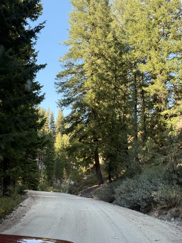
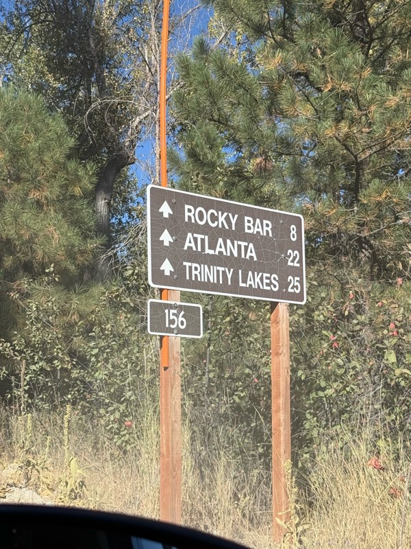
Easy trail that connects you to other great locations. Any vehicle could do this one.
PS
Paul Smith
Rated 4/5
Open
Visited: 09/01/2026
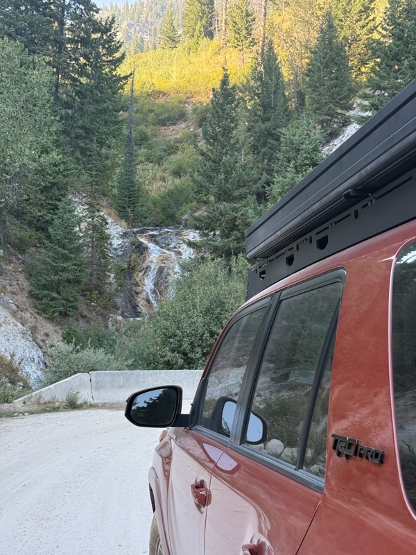
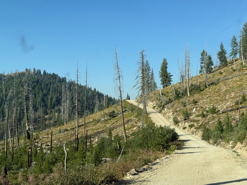
Pretty easy trail although there are some narrow spots along the way. Gets a bit bumpy and rocky as you head toward Atlanta but nothing difficult.
PS
Paul Smith
No Rating
Open
Visited: 09/01/2026
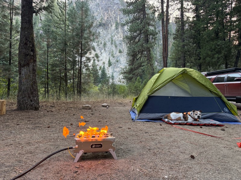
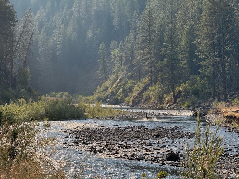
Beautiful and easy road. The smoke was wildfires was pretty bad but that can change. Any stock vehicle could do this at the moment. Campsites were all nearly empty which was a bonus.
PS
Paul Smith
Rated 3/5
Open
Visited: 08/22/2026
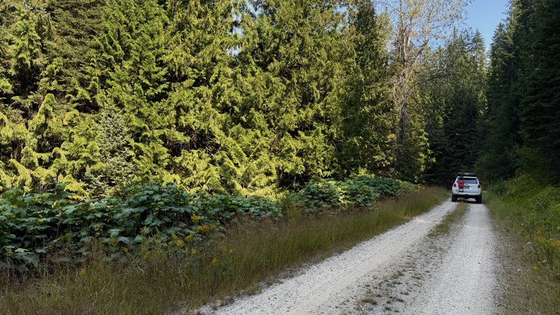
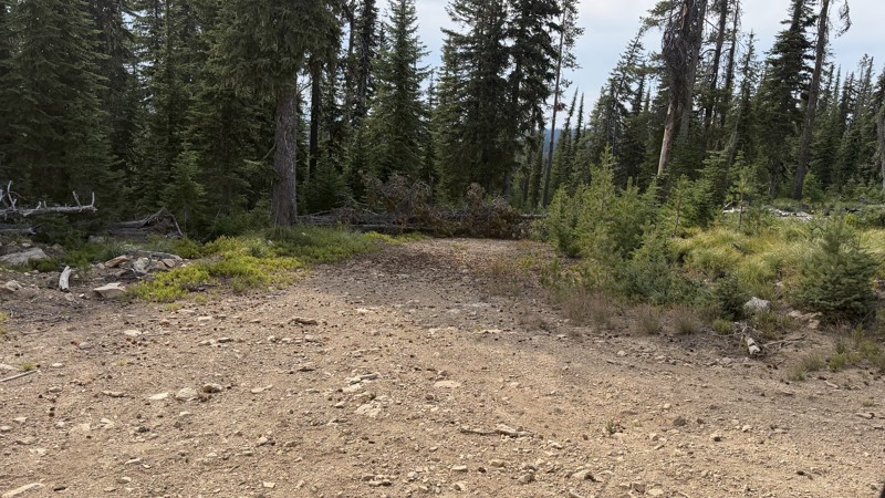
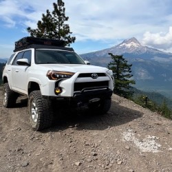
If it wasn't a very exciting trail, it still gets three stars because of how well-maintained it is. I can't even recall one single pothole the whole 4.5 miles. Otherwise, I was just using it as a conn...
Lorraine Bourget
Official Crew
Rated 3/5
Open
Visited: 08/22/2026
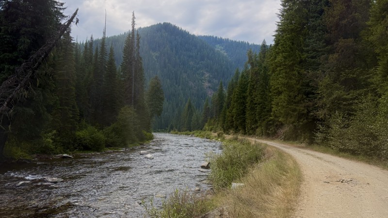
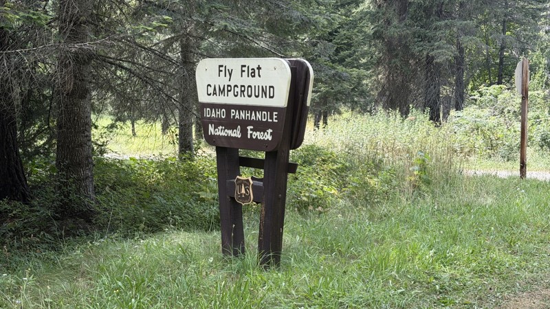
While it was a beautiful drive along the river, I'm rating this road 3 stars. Honestly, I planned my weekend around having the least amount of human contact possible but this section of my loop had ot...
Lorraine Bourget
Official Crew
Rated 5/5
Open
Visited: 08/22/2026
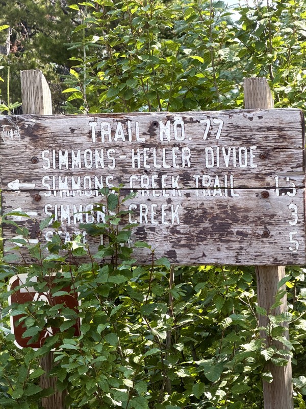
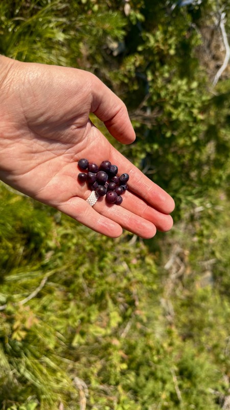
This trail holds a somewhat sentimental value to me. I randomly stumbled across it a couple of years ago when searching for somewhere to use my shower at the top of a mountain. Little did I know I wou...
Lorraine Bourget
Official Crew
Rated 4/5
Open
Visited: 08/21/2026
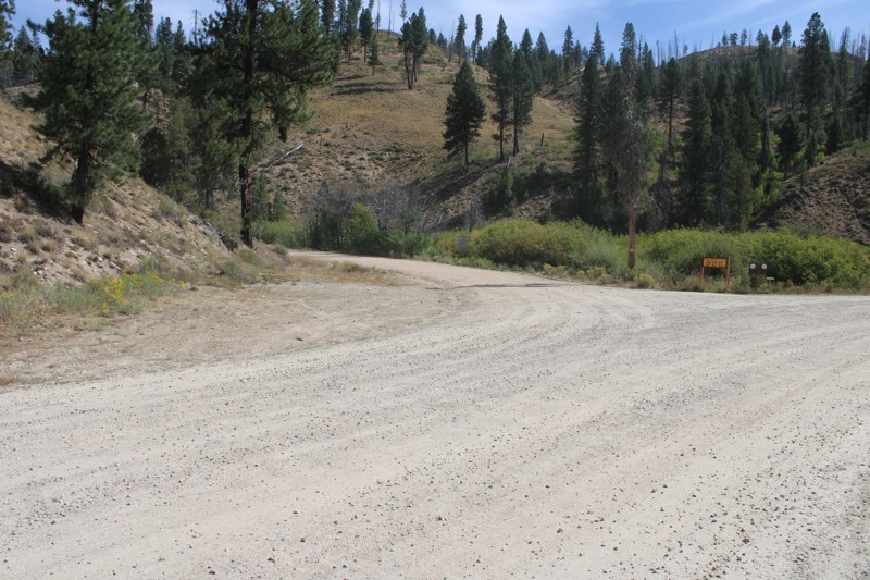
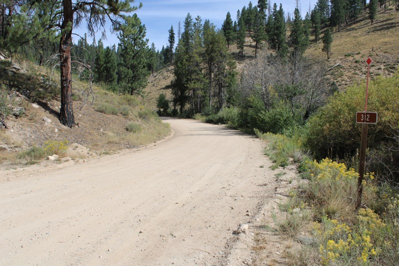
Pike's Fork Road is a spectacular drive into the heart of the Boise National Forest! One of the many dispersed campsites along its length makes an excellent destination for one night on a multi-night...

Bill Ward
Official Crew
Rated 5/5
Open
Visited: 08/16/2026
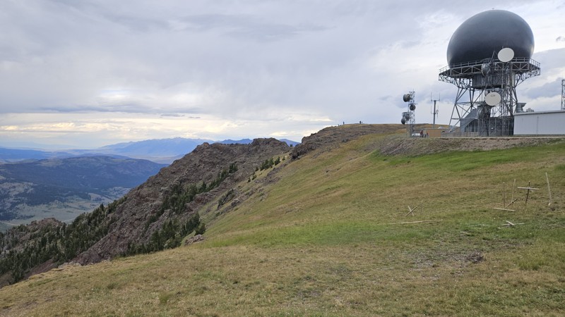
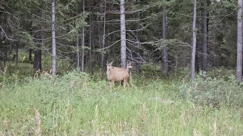
One person can give a group a bad name, especially in the side-by-side world, and that one was on the trail tonight like it was his private racetrack. Otherwise, a very peaceful and enjoyable drive. T...

Cory Wooldridge
Official Crew
Rated 5/5
Open
Visited: 08/11/2026
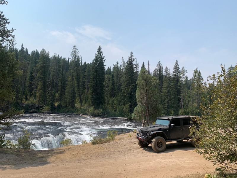
Great Jeep trail! Had fun running it and in pretty good shape. Dry and dusty with a few sections of rocks on decline/incline depending on what direction you’re going. No issues in my lifted Jeep. Not ...
JJ
Jill Jensen
No Rating
Open
Visited: 08/11/2026
Per the MVUM, the trail is seasonally open. As always, check current fire restrictions/closures before venturing out.

Trails Offroad
Official Crew
Open
Visited: 08/11/2026
Per the MVUM, the trail is seasonally open. As always, check current fire restrictions/closures before venturing out.
Trails Offroad
Official Crew
No Rating
Open
Visited: 08/11/2026
Per the MVUM, the trail is seasonally open. As always, check current fire restrictions/closures before venturing out.
Trails Offroad
Official Crew
No Rating
Open
Visited: 08/11/2026
Per the MVUM, the trail is seasonally open. As always, check current fire restrictions/closures before venturing out.
Trails Offroad
Official Crew
No Rating
Open
Visited: 08/11/2026
Per the MVUM, the trail is seasonally open. As always, check current fire restrictions/closures before venturing out.
Trails Offroad
Official Crew
No Rating
Open
Visited: 08/11/2026
Per the MVUM, the trail is seasonally open. As always, check current fire restrictions/closures before venturing out.

Todd
Official Crew
No Rating
Open
Visited: 08/11/2026
Per the MVUM, the trail is seasonally open. As always, check current fire restrictions/closures before venturing out.
Todd
Official Crew
No Rating
Open
Visited: 08/11/2026
Per the MVUM, the trail is seasonally open. As always, check current fire restrictions/closures before venturing out.
Todd
Official Crew
No Rating
Open
Visited: 08/11/2026
Per the MVUM, the trail is seasonally open. As always, check current fire restrictions/closures before venturing out.
Todd
Official Crew
No Rating
Open
Visited: 08/11/2026
Per the MVUM, the trail is seasonally open. As always, check current fire restrictions/closures before venturing out.
Todd
Official Crew
No Rating
Open
Visited: 08/11/2026
Per the MVUM, the trail is seasonally open. As always, check current fire restrictions/closures before venturing out.
Todd
Official Crew
No Rating
Open
Visited: 08/11/2026
Per the MVUM, the trail is seasonally open. As always, check current fire restrictions/closures before venturing out.
Todd
Official Crew
No Rating
Open
Visited: 08/11/2026
Per the MVUM, the trail is seasonally open. As always, check current fire restrictions/closures before venturing out.
Todd
Official Crew
No Rating
Open
Visited: 08/11/2026
Per the MVUM, the trail is seasonally open. As always, check current fire restrictions/closures before venturing out.
Todd
Official Crew
No Rating
Open
Visited: 08/11/2026
Per the MVUM, the trail is seasonally open. As always, check current fire restrictions/closures before venturing out.
Trails Offroad
Official Crew
No Rating
Open
Visited: 08/11/2026
Per the MVUM, the trail is seasonally open. As always, check current fire restrictions/closures before venturing out.
Trails Offroad
Official Crew
No Rating
Open
Visited: 08/11/2026
Per the MVUM, the trail is seasonally open. As always, check current fire restrictions/closures before venturing out.
Trails Offroad
Official Crew
No Rating
Open
Visited: 08/11/2026
Per the MVUM, the trail is seasonally open. As always, check current fire restrictions/closures before venturing out.
Trails Offroad
Official Crew
No Rating
Open
Visited: 08/11/2026
Per the MVUM, the trail is seasonally open. As always, check current fire restrictions/closures before venturing out.
Trails Offroad
Official Crew
No Rating
Open
Visited: 08/11/2026
Per the MVUM, the trail is seasonally open. As always, check current fire restrictions/closures before venturing out.
Trails Offroad
Official Crew
No Rating
Open
Visited: 08/11/2026
Per the MVUM, the trail is seasonally open. As always, check current fire restrictions/closures before venturing out.
Trails Offroad
Official Crew
No Rating
Open
Visited: 08/11/2026
Per the MVUM, the trail is seasonally open. As always, check current fire restrictions/closures before venturing out.
Trails Offroad
Official Crew
No Rating
Open
Visited: 08/11/2026
Per the MVUM, the trail is seasonally open. As always, check current fire restrictions/closures before venturing out.
Trails Offroad
Official Crew
No Rating
Open
Visited: 08/11/2026
Per the MVUM, the trail is seasonally open. As always, check current fire restrictions/closures before venturing out.
Trails Offroad
Official Crew
No Rating
Open
Visited: 08/11/2026
Per the MVUM, the trail is seasonally open. As always, check current fire restrictions/closures before venturing out.
Trails Offroad
Official Crew
No Rating
Open
Visited: 08/11/2026
Per the MVUM, the trail is seasonally open. As always, check current fire restrictions/closures before venturing out.
Trails Offroad
Official Crew
No Rating
Open
Visited: 08/11/2026
Per the MVUM, the trail is seasonally open. As always, check current fire restrictions/closures before venturing out.
Trails Offroad
Official Crew
No Rating
Open
Visited: 08/11/2026
Per the MVUM, the trail is seasonally open. As always, check current fire restrictions/closures before venturing out.
Trails Offroad
Official Crew
No Rating
Open
Visited: 08/11/2026
Per the MVUM, the trail is seasonally open. As always, check current fire restrictions/closures before venturing out.
Trails Offroad
Official Crew
No Rating
Open
Visited: 08/11/2026
Per the MVUM, the trail is seasonally open. As always, check current fire restrictions/closures before venturing out.
Trails Offroad
Official Crew
No Rating
Open
Visited: 08/11/2026
Per the MVUM, the trail is seasonally open. As always, check current fire restrictions/closures before venturing out.
Trails Offroad
Official Crew
No Rating
Open
Visited: 08/11/2026
Per the MVUM, the trail is seasonally open. As always, check current fire restrictions/closures before venturing out.
Trails Offroad
Official Crew
No Rating
Open
Visited: 08/11/2026
Per the MVUM, the trail is seasonally open. As always, check current fire restrictions/closures before venturing out.
Trails Offroad
Official Crew
No Rating
Open
Visited: 08/11/2026
Per the MVUM, the trail is seasonally open. As always, check current fire restrictions/closures before venturing out.
Trails Offroad
Official Crew
No Rating
Open
Visited: 08/11/2026
Per the MVUM, the trail is seasonally open. As always, check current fire restrictions/closures before venturing out.
Trails Offroad
Official Crew
No Rating
Open
Visited: 08/11/2026
Per the MVUM, the trail is seasonally open. As always, check current fire restrictions/closures before venturing out.
Trails Offroad
Official Crew
No Rating
Open
Visited: 08/11/2026
Per the MVUM, the trail is seasonally open. As always, check current fire restrictions/closures before venturing out.
Trails Offroad
Official Crew
Most Popular

Updated: 10/15/2024
West Fork Creek
Alpha, Idaho
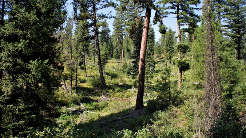
West Fork Creek is in the beautiful Boise National Forest, and the trailhead is literally less than 2 hours from Boise. Driving in on the Middle Fork Payette trail, you'll pass dozens of dispersed campsites and several designated campgrounds alongside the Payette River. This trail travels west up to the ridgeline, where you will have several options for returning to the main trail. This trail has a large campsite only one-mile from the trailhead, and at the halfway point there is a large area along West Fork Creek with several nice campsites with fire rings. This area appears to cater to hunters from the hanging evidence present, so not recommended for camping during hunting season.
Updated: 08/11/2025
Dry Creek
Clyde, Idaho
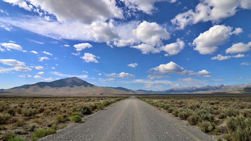
Hidden within the wide-open reaches of Butte County, Dry Gulch Road, also known as the Mulkey Bar route, is a remote, unpaved byway that quietly meanders through central Idaho’s raw and untamed landscape. Acting as a connector between Summit Creek/Pahsimeroi Road and Pass Creek Road, this route skirts near the historic Mulkey Bar site, which was once a small but active mining or ranching hub. Now long abandoned, its presence is marked only on aging USGS maps and faded terrain.
As you travel, the road opens to sweeping views of Butte County’s arid basin and the distant silhouettes of the Lost River Range. Though mostly flat, the drive is lightly traveled and remains unimproved. Expect gravel stretches with washboard ruts, patches of loose rock, and the occasional washout. It's well-suited for those seeking a slower-paced, off-grid alternative to the region’s more trafficked routes.
No established campsites were visible along the route. Still, the solitude and sense of quiet exploration make it a rewarding passage for overlanders and backroad explorers connecting the region’s scenic byways. This is a place where you pack in what you need, drive with intention, and let the landscape do the talking.
Updated: 08/12/2025
Mill Creek
Lemhi, Idaho
Mill Creek Road is a rugged, rocky jeep trail that leads to one of the Lemhi Mountains’ best-kept secrets: Mill Creek Lake. This out-and-back route isn’t for the faint of heart. It is a challenging 6-mile climb marked by loose rock and uneven terrain. You’ll want a high-clearance 4x4 with solid tires and a good sense of adventure to make it to the top.
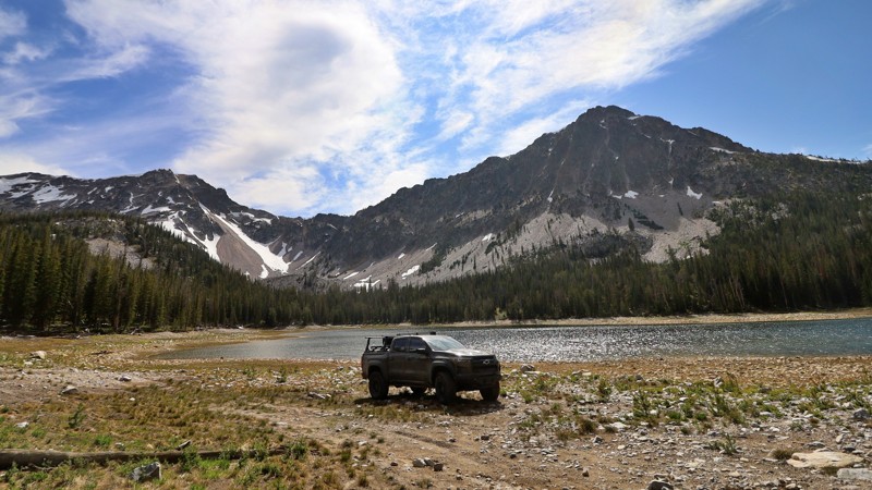
As you ascend through the thick timber, the landscape begins to open, revealing expansive views of the surrounding ridgelines. Eventually, the trail crests at Mill Creek Lake, a tranquil 15.8-acre alpine reservoir situated at approximately 8,800 feet. The lake was formed behind a historic earthen dam built in 1928, and it rests in a peaceful glacial basin surrounded by towering pines and firs.
The lake’s mirrored surface reflects the jagged peaks above, and it’s not uncommon to have the whole place to yourself. Dispersed campsites are scattered along the tree line, offering backcountry solitude in one of Idaho’s most serene high-altitude hideouts. Whether you're pitching a tent under the stars or casting a line for rainbow trout in the calm alpine waters, Mill Creek Lake rewards those who make the climb
Updated: 06/05/2022
Timber Flat
Horseshoe Bend, Idaho
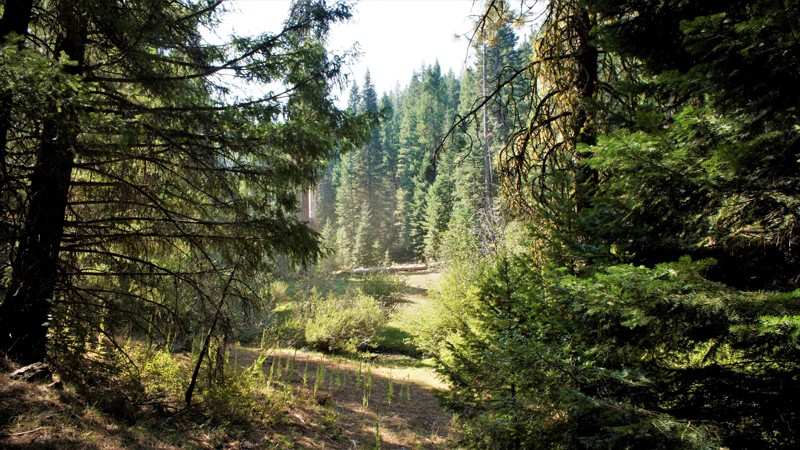
Timber Flat is in the Boise National Forest, two hours north of Boise, Idaho. Sagehen Dam and Reservoir is just 2.5 miles to the east with the first of four improved campgrounds. Some of the campgrounds are first come first served while others require a reservation. The lake is well known for its rainbow trout, so bring a fishing pole. The trail and entire area are in Idaho's hunting unit 32A where you will be sharing your space with deer, elk, black bear, mountain lions, and wolves, just to name a few of the forest's residents. This trail is one of many spurs along the main Sagehen Road and is best described as a dispersed camping paradise nestled among the pines, fir, and spruce. Shrubs and grasses dotted with wildflowers fill in the non-forested areas.
Updated: 10/15/2024
Lake Creek
Alpha, Idaho
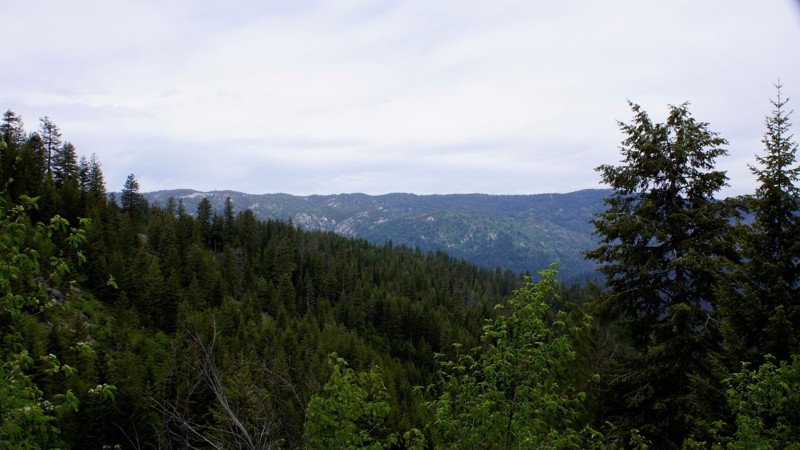
Lake Creek is in the Boise National Forest. This trail is a spur trail from Bridge Creek and begins at the junction of Silver Creek Lookout Trail 678B. This trail is very narrow and degrades at the four-mile mark into an ATV/Side x Side trail. There is dispersed camping along the trail, including a nice spot at the trail's end.

Updated: 10/15/2024
Middle Fork Payette Ridge
Alpha, Idaho
Middle Fork Payette Ridge is in the beautiful Boise National Forest. This trail is somewhat removed from the main trail in the canyon below, and you must travel on one or more trails to reach either trailhead. Consequently, this trail is ideal for forming a perfect 30-mile loop to and from Middle Fork Payette. You have several trail choices for access, including, Schriver Creek, Six Mile, or West Fork Creek. Dispersed camping is allowed throughout the Boise National Forest, and several areas look ideal. However, no fire rings were observed.
Updated: 10/09/2025
Upper Pack River Road
Elmira, Idaho
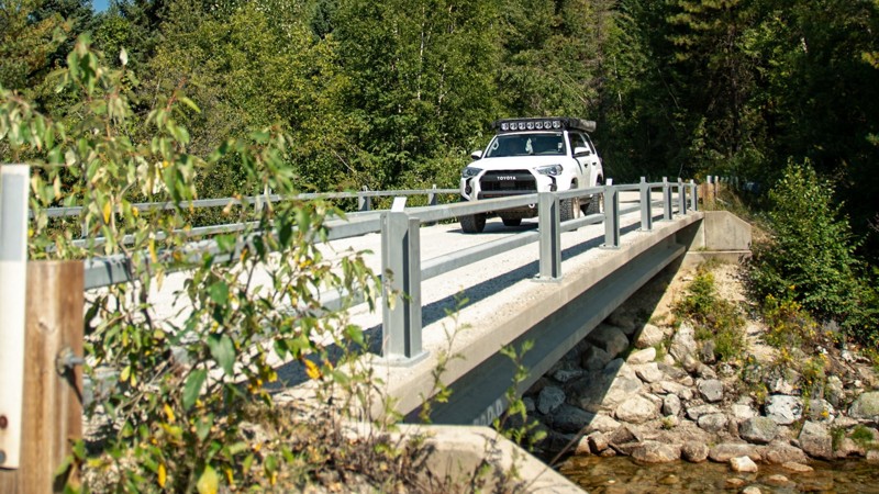
Upper Pack River Road offers one of the most scenic and relaxing drives in the Sandpoint area, following the Pack River deep into the Selkirk Mountains. This wide, well-maintained forest road requires no technical driving. It is a smooth mix of dirt and loose gravel that is easily managed by any vehicle, though high clearance is helpful for comfort. The road traces the winding river through lush pine forest and open stretches where sunlight glints off the water, creating the perfect setting for a summer drive or a quiet day of exploration. Several dispersed campsites appear along the way, from shaded riverside pullouts to larger clearings ideal for a weekend basecamp. The last third of the road passes several hiking trailheads, including Chimney Rock, Beehive Lakes, and Harrison Lake, popular destinations that take users deeper into the higher Selkirks.
A few bridges along the route are single-lane, requiring a bit of courtesy between drivers, but the remainder of the road is wide enough for easy two-way travel. The approach to the National Forest passes through private land, so it’s important to stay on the designated road and respect local property boundaries. With countless spur trails and nearby recreation options, Upper Pack River Road serves as both a scenic drive and a great launch point for further adventure in northern Idaho’s mountain backcountry.
Updated: 06/05/2022
Pine Creek Meadow Spur
Horseshoe Bend, Idaho
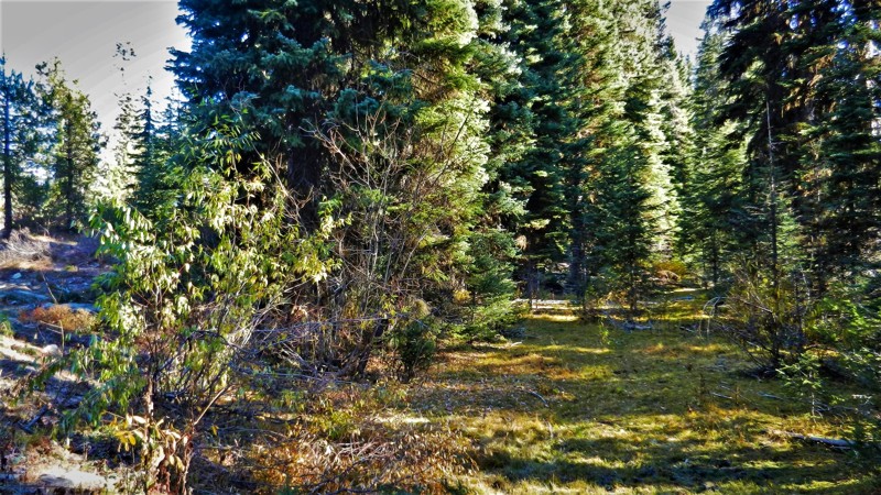
627D Pine Creek Meadow Spur is a short trail connecting two main trails in the area, Pine Creek Meadow and West Mountain Trail. It is located in the expanse of the Boise National Forest. The trail is less than two hours north of Boise, Idaho, and only a couple of miles from Sagehen Reservoir where you can camp, swim, fish, and boat. You will have about 8 miles of wheeling to do just to get to this trailhead, so don't let it's short length deter you. Be alert and aware of the animals that call this beautiful forest their home, which includes elk, deer, bear, cougar, and wolves. This trail borders the north edge of the Pine Creek meadow so camping at Waypoint 2 puts you in a prime location for spotting those animals or utilizing that site as a base camp during hunting seasons.
Updated: 08/11/2026
Whitehawk
Lowman, Idaho
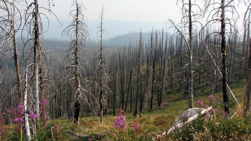
Whitehawk is a one to two-lane sand road that is easy for any vehicle. It travels from the Lowman-Bear Valley Road to Wilson Creek Road, which leads to Deadwood Reservoir. Whitehawk is primarily a shelf road that winds around the mountains and along the sides of the valleys. Although it is often reasonably wide, you must still be cautious of oncoming traffic, which can be heavy on weekends. Dust can also be a factor that limits visibility. When the air is clear, there are many opportunities for big, expansive views of the mountains and valleys. Unfortunately, during fire season from July through September, the air is often heavily smoke-laden, which grays out or blocks the big views. Almost the entire length of Whitehawk has burned in the past, with many dead trees. Because burned dead trees often fall across the road, you must be prepared to remove trees blocking the road or turn around and take a different route.
Dispersed camping is allowed, and several acceptable sites exist. Camping is also available at Deadwood Reservoir down Wilson Creek Road.
Updated: 09/04/2025
Wilson Creek / Salmon Creek Road
Wilson, Idaho
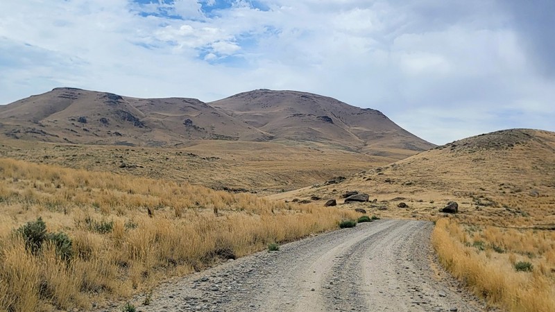
If you're looking for a scenic drive through the foothills of western Idaho, then Wilson Creek Road is not to be missed! Set against the stunning backdrop of the Owyhee Mountains and located just over half an hour from Boise, Wilson Creek Road makes the perfect getaway to get off the grid and discover some remote wilderness.
This easy-to-navigate gravel road is suitable for any high-clearance vehicle. This trail is part of an extensive trail system that includes many non-motorized trails. Along the northern end of the road, you will find a large parking area with a vault toilet. The large network here allows you to spend just a couple of hours exploring or make a full day out of it. There are no developed campgrounds along this trail, but there are a couple of neat offshoots that offer dispersed camping.
There is a tiny water crossing, so beware of driving this trail after a storm, as it’s prone to flash floods.
Updated: 10/15/2024
Roaring River Road
Rocky Bar, Idaho
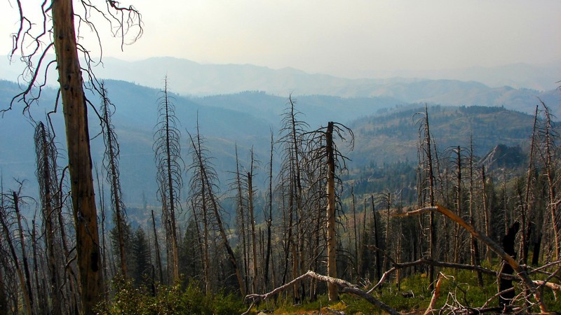
Roaring River Road is a delightful single-lane, mostly gravel road suitable for any vehicle with moderate ground clearance. Roaring River Road goes from Trinity Ridge Road down to the Middle Fork of the Boise River in a long, gradual descent. The views are extensive, panoramic, and spectacular, except when smoke is in the air from summertime wildfires. At about the halfway point, the road crosses and then follows the Roaring River. There is a nice trailhead with a dispersed campsite at the crossing. Several other dispersed campsites are along the road, but no designated campgrounds.
Roaring River Road is one of three main roads from the Trinity Ridge area to the Middle Fork. All three are designated and groomed snowmobile trails in the winter and are closed to vehicle traffic during the snow season.
Updated: 10/15/2024
Edna Creek Road
Tenmile Summer Home Area, Idaho
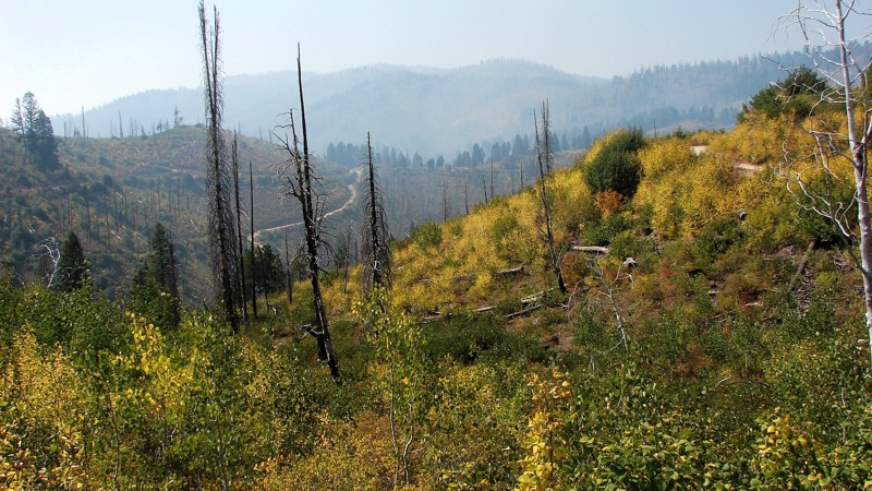
Edna Creek Road is a moderately maintained gravel road that is easy to drive and suitable for any vehicle; however, scattered minor ruts and rocks require reasonable clearance. Significant water bars are also sharp enough to require fairly good break-over clearance. Much of the road is relatively open with opportunities for big, expansive views—currently blocked by smoke from the Wapiti Fire further north on 21. Much of the forest around Enda Creek Road has burned in past years, leaving many standing, dead trees that can fall across the road. One must be prepared to clear trees from the road or turn back and find a different route.
Dispersed camping is allowed, but there are few places to set up camp other than some wide spots next to the road and a couple further from the road, which hunters mostly fill during the hunting season. There are no campgrounds along Edna Creek Road.
Updated: 10/15/2024
Rock Creek
Lowman, Idaho
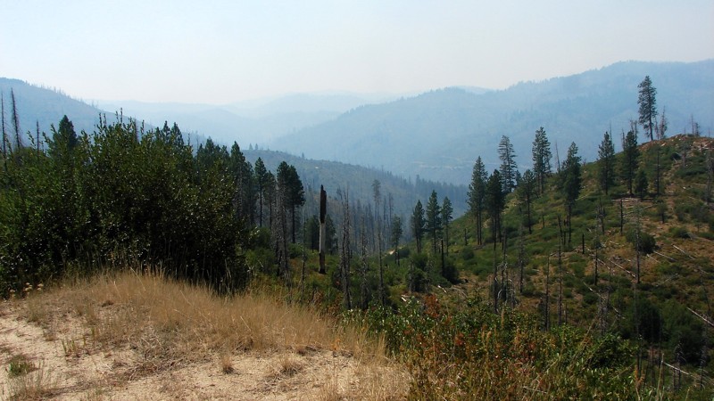
Rock Creek Road is an easy single-lane sand and dirt road from Highway 21 to Lowman, where limited services and supplies are available. Rock Creek is a shelf road for almost its entire length, is primarily one lane wide with limited pullouts, and is highly snaky. It is an easy road to drive and can be driven in any vehicle, although moderate ground clearance and good tires are recommended. Most of the area around Rock Creek has burned in the last decade or two, leaving numerous dead-standing trees that can fall across the road. The primary hazards are blind curves and the road's narrowness—with little to no room to swerve out of the way of road hazards or oncoming traffic.
Much of the road is open on the downhill side, providing expansive views of the valleys and distant ridges. During the summer, smoke from area wildfires often limits the view. Because Rock Creek is a shelf road, camping options are limited. There are a few wide places in the road, particularly on inside switchbacks, where a quick, small camp could be set up, but there are no great camping areas.
Updated: 08/11/2026
Dry Gulch
Inkom, Idaho
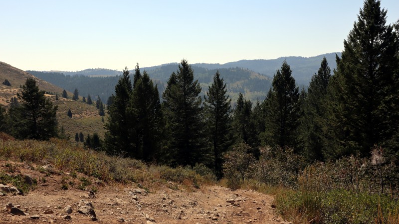
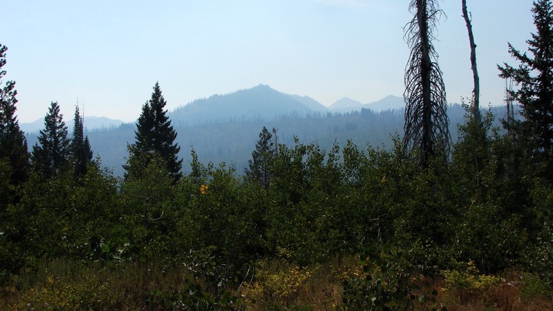
FS208 is commonly referred to for the sign near its southwestern trailhead, identifying it as a Rough Road. This short trail connects to several other forest roads in the area, offering many opportunities for further exploration. Most of the trail is fairly easy and scenic, but the western portion of the road has one steep hill with rough, uneven, and rocky terrain requiring four-wheel drive and good ground clearance. The eastern portion travels on Idaho State Trust Land and has a large camping area at the east trailhead. Dispersed camping is allowed, and abundant along the entire trail.
Updated: 10/15/2024
Trinity Creek Road
Featherville, Idaho
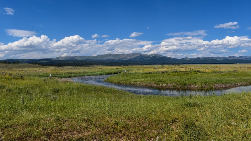
Trinity Creek Road is the main access route from Featherville to Trinity Ridge and the Trinity Lakes. RVs and horse trailers often use a well-maintained, one- to two-lane gravel road. Trinity Lakes Road is easy to drive and suitable for any vehicle. No campgrounds are along the road, but ample opportunities for dispersed camping exist. Good campgrounds can be found at the Trinity Lakes, three miles south of the intersection of Trinity Creek and Trinity Ridge Roads. Much of the road follows Trinity Creek, and there are good opportunities for picturesque views of the creek and rapids. Because the road is bordered mainly by thick forest, there are few extensive views, but they are spectacular where they exist. During fire season from July through September, the vast views are often obscured by smoke and haze.
Updated: 10/15/2024
Lower Sheridan Ranch Road
Rea, Idaho
Welcome to Lower Sheridan Ranch Road, an extension of Old Shotgun Road, seamlessly blending into the picturesque beauty near Island Park, Idaho. This delightful journey winds through small hills, with intriguing fractured, boulder-like basaltic lava flow outcroppings dotting the landscape. Keep an eye out for those hidden gems - patches of trees that harbor fantastic, tucked-away campsites, perfect for an unforgettable outdoor escape.
Updated: 07/16/2026
Dry Creek
Stanley, Idaho
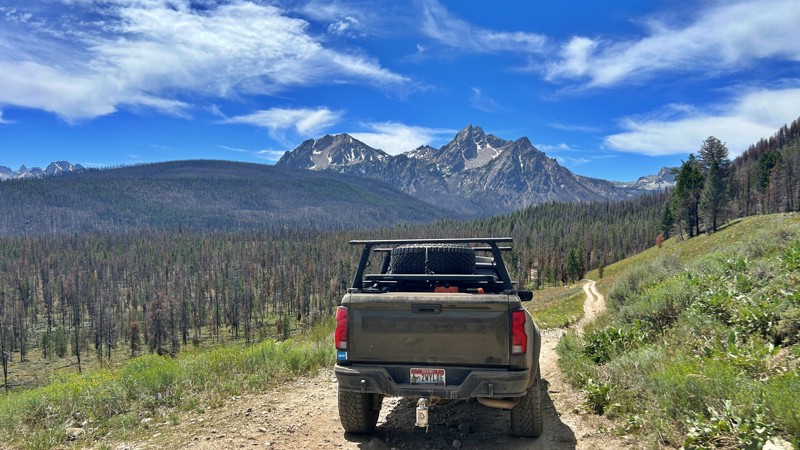
Dry Creek Road (FS 70630) is a scenic backcountry route that can be driven as a loop between Highway 21 and Stanley Lake Road, offering spectacular views of the Sawtooth Range and a glimpse into Idaho's recovering forests. The trail winds through lodgepole pine forests and wildfire burn areas where vibrant wildflowers and young pines are reclaiming the landscape. Several spacious dispersed campsites near the Highway 21 trailhead provide outstanding mountain views and are suitable for travel trailers during the first mile. Beyond that, the road becomes narrower, steeper, and noticeably rockier, making it better suited for high-clearance vehicles and not recommended for towing most trailers. With panoramic overlooks, peaceful camping, and far less traffic than many nearby routes, Dry Creek Road is a rewarding escape into the quieter side of the Stanley area.
Updated: 10/15/2024
Little Horse Basin Gap Road
Comical Turn, Idaho
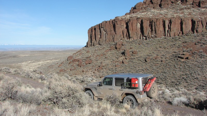
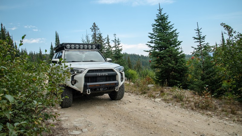
Owyhee County, Idaho, is home to many spectacular ravines, gullies, and rock formations. Little Horse Basin Gap Road, while not very long, provides interesting and awesome examples of many of these spectacular formations. The trail is on BLM land and borders the Little Jack’s Creek Wilderness Area. This area is at a low enough elevation that snow is rarely a problem—but portions of the trail become treacherously slippery when wet. Although the trail is relatively easy to drive, rough spots do require clearance.
While fairly easy to access from Highway 51, Little Horse Basin Gap Road is located in an area of approximately 5000 square miles with no services, limited cell phone coverage, literally thousands of trail segments, and at least five wilderness areas. Travelers should treat the entire area with respect and should not enter it unless well prepared for whatever contingencies may occur.
While dispersed camping is allowed along the trail, there were no obvious locations to set up a camp.
Updated: 10/09/2025
Cooks Lake
Moravia, Idaho
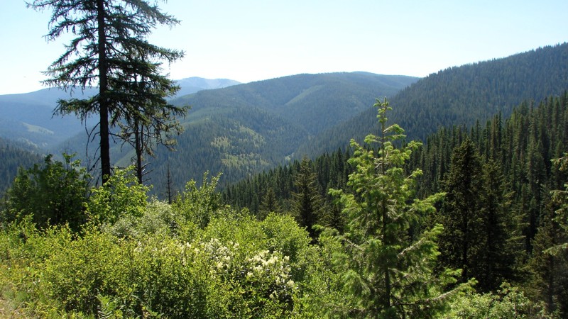
Cooks Lake, tucked up in the mountains near Bonners Ferry, is a beautiful spot if you’re looking to relax or do some fishing. The road is primarily easy and graded, but the closer to the lake you get, the rougher the terrain. At one point, you will need to squeeze by a pretty sketchy 3–4 foot-deep hole that takes up one side of the trail with a drop-off on the other. There’s barely enough room for a 4Runner to get through, but you need to be very precise with your tire placement. Anything larger than a midsize SUV isn’t recommended due to this obstacle.
The drive up is stunning, offering views of the forest and an abundance of wildflowers in the summer. Much of the road is a narrow shelf road that winds through trees and brush as you climb past 5,500 feet. At the end of the trail, there’s a small campsite, and from there you can hike a short distance (1/4 mile one-way) up to the lake if your rig isn’t equipped for the steep, rocky section to get to the lake. Quads and side-by-sides can usually make it right up to the water’s edge, but for full-size vehicles, you’ll need high clearance, 4WD, and low range to tackle this section. Otherwise, it’s a quick hike on foot.
Updated: 08/11/2025
Shoshone Creek Road
Prichard, Idaho
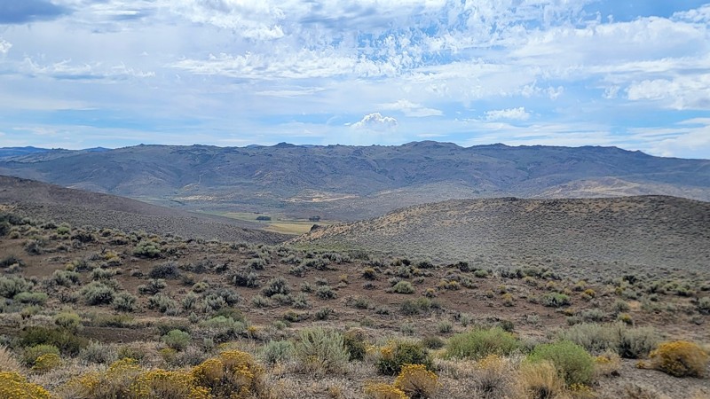
Shoshone Creek Road runs from FS 3099 down to the Berlin Flats Group Campground. It is an easy road and can be driven by any vehicle with moderate ground clearance. The surface changes from good gravel two-lane to natural dirt single-lane. There are some small but deep potholes, particularly on the southern section. For most of the road, the trees are spaced sufficiently to avoid the claustrophobic feeling of a tree tunnel, allowing for almost continuous scenic beauty. There are some places high up where the trees part enough to offer spectacular views of the surrounding mountains and forest. Shoshone Creek Road continues south as a paved road beyond the route shown.
Dispersed camping is permitted, and there are several well-established sites.
Updated: 09/04/2025
Rabbit Creek Road
Reynolds, Idaho
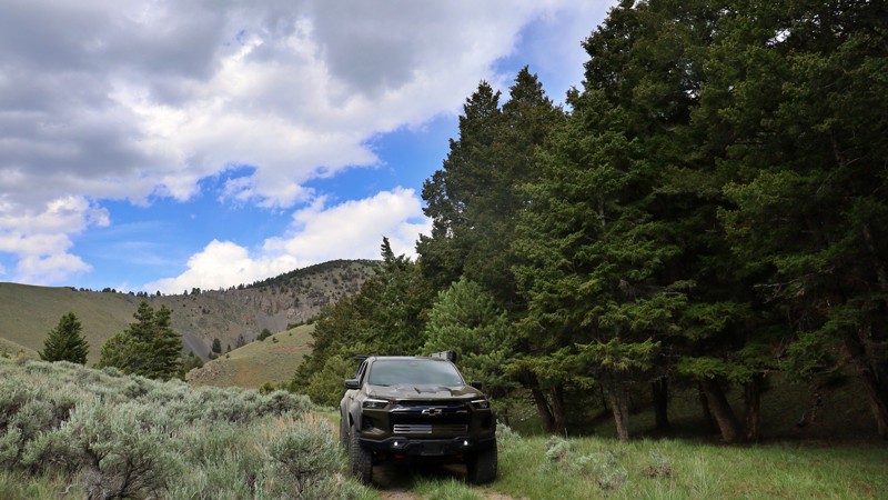
Rabbit Creek Road is a nice connector road between Reynolds Creek Road to the west and Highway 78 to the east. The trail traverses through the foothills of the Owyhee Mountains and is a short scenic drive that offers great views!
This double-wide gravel road is well-maintained and suitable for any vehicle. It does travel through an open range, so be cautious of livestock on the road. There aren’t any campsites along this trail. However, it is part of an extensive trail network that offers numerous opportunities for dispersed camping along other nearby roads.
Updated: 08/11/2025
Pierce Canyon
Lone Pine, Idaho
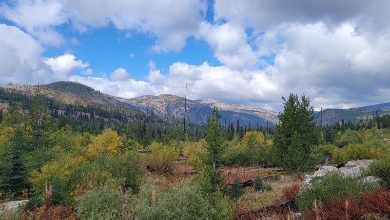
Pierce Canyon serves as a rugged connector between South Fork Worthing and the surrounding high-country terrain. It is an offbeat path that winds through scattered tree stands, mellow hillsides, and slopes of exposed rock scree.
The trail itself is rough and rattly, with loose rocks ranging from softball to soccer-ball size scattered across much of the route. You’ll need to pick your line carefully as your rig bounces and flexes through this rocky stretch. Though nothing overly technical, it is enough to keep you alert behind the wheel.
While there aren't any clear camp sites along the route, the rugged scenery and transitional feel of the canyon make it a satisfying leg of the journey
Updated: 07/06/2026
Goose Lake Road
Meadows, Idaho
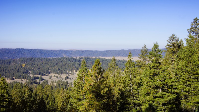
Goose Lake Road (Forest Service Road 257) starts from Brundage Ski Resort in the south near the charming mountain town of McCall. This spectacular drive traverses the Payette National Forest and the Grass Mountains, passing by a couple of picturesque lakes that offer boating and other water activities.
There are several camping opportunities along this memorable trail, including developed campgrounds at Goose Lake and Hazard Lake, as well as numerous small turnouts and spurs for dispersed camping.
This heavily trafficked two-lane gravel road is suitable for any high-clearance vehicle; 4WD is not required. There are a couple of washboard areas and some potholes, but no challenging obstacles.
Updated: 08/11/2026
Dry Buck Spur
Williams Creek Summit Home Area, Idaho
Dry Buck Spur, FR 643Q, is in the beautiful and diverse Boise National Forest. It is a mirror image of 643M North Fork Ridge to the east. This side of the ridge offers fantastic views into High Valley through the pines, cedar, and quaking aspen. You won't be disappointed at the secluded dispersed campsite at the end of the trail.

Upgrade your Membership
Unlock all of the details on every Trail Guide and Scout Route.
Start a 7-day Free TrialBrowse Trails in Idaho by City
Browse every Idaho city with offroad trail guides.
Community
Partners

