



By clicking "ACCEPT", you agree to be the terms and conditions of each policy linked to above. You also agree to the storing of cookies on your device to facilitate the operation and functionality of our site, enhance and customize your user experience, and to analyze how our site is used.
Idaho Off-Road Trails
63
Total Trail Guides 60

644
Detailed Waypoints 302
Try a Free 7-Day Trial and unlock it all
Start a Free Trial Most Recent Trail Reviews
No Rating
Open
Visited: 09/19/2026
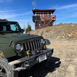
Fun drive, lots of dirt bikes and a few BDR Moto riders. Drove it in reverse direction.

Kim Richards
No Rating
Open
Visited: 09/19/2026
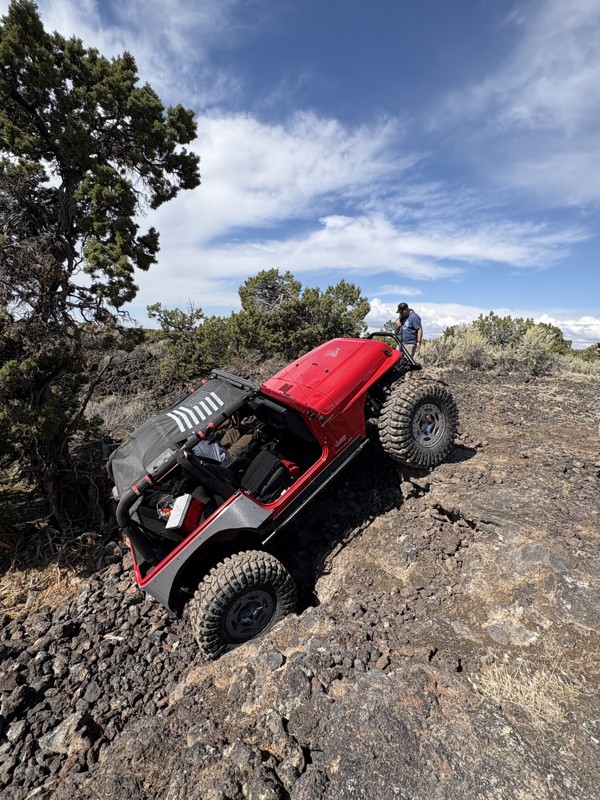
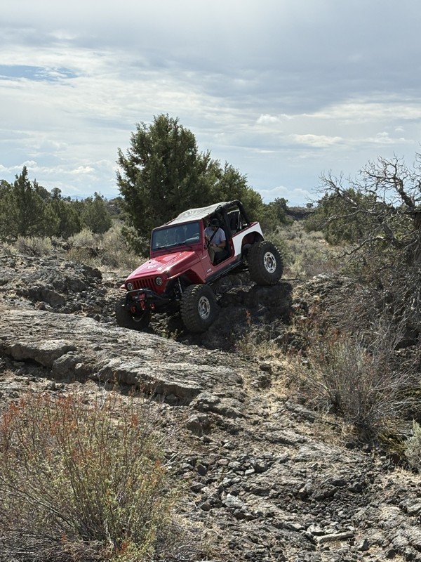
This trail was a great time. It is very unique, ive never been on a trail like it. the lava rock has plenty of traction and is pretty nasty on tires. But all in all I would recommend it to be done at ...
JP
Jared Pyne
Rated 3/5
Open
Visited: 09/15/2026
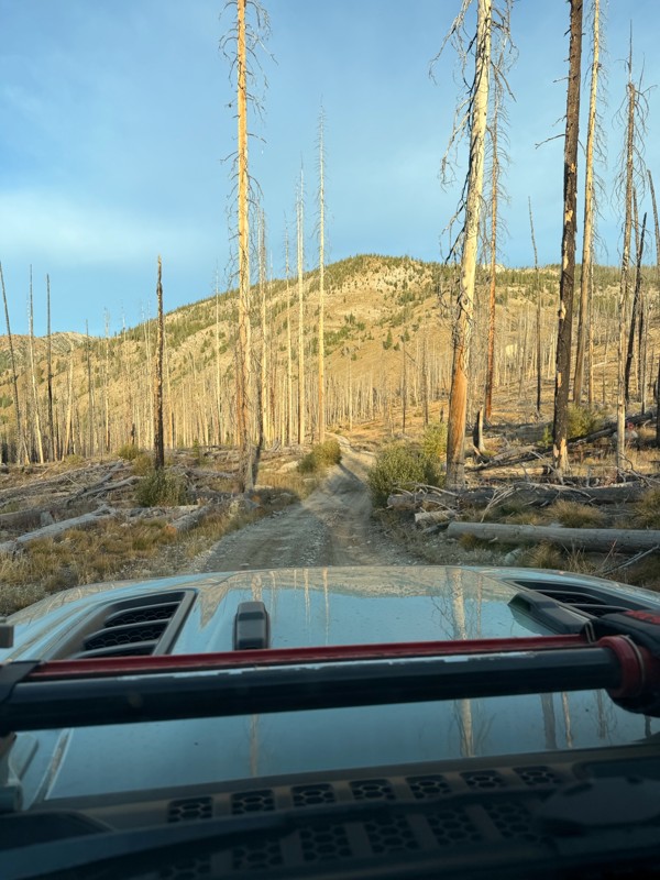
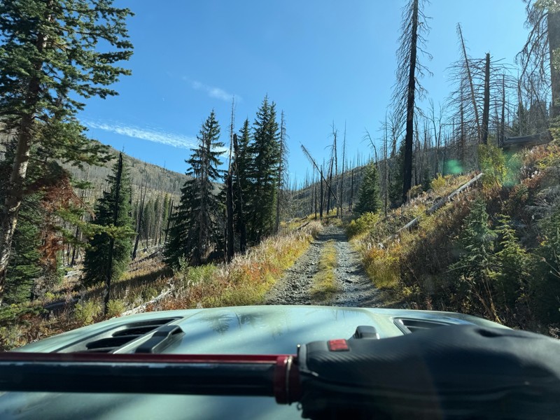
Trail consists of mostly narrow 2-track. Softball to soccer ball sized rocks. Slow going. Most of this forestland experienced fire in the past few years and is still recovering. Pulled a 9’ off-road t...
JH
Jason Holmes
No Rating
Open
Visited: 09/05/2026
Been going here for 57 years and the road keeps getting easier and easier. Sedans can make it.
BC
Bruce Chadwick
Rated 4/5
Open
Visited: 09/01/2026
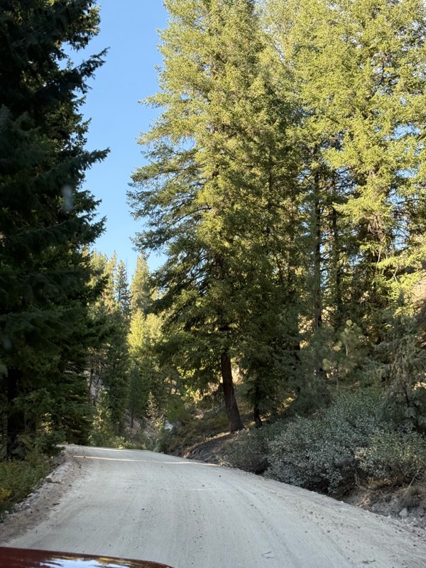
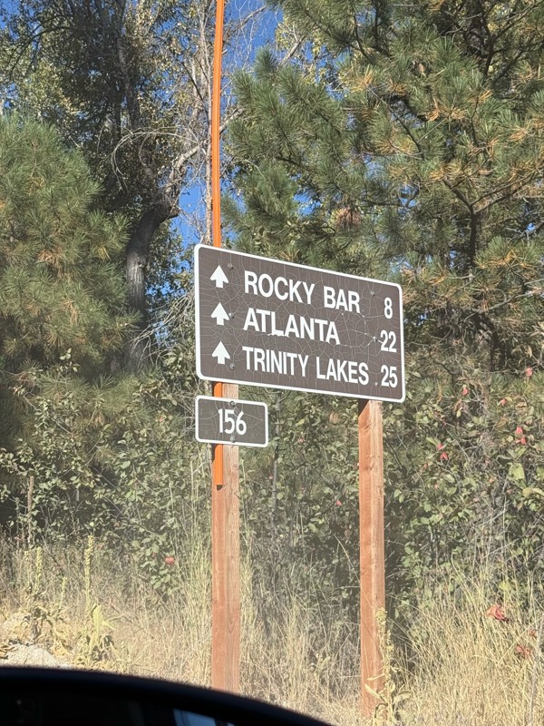
Easy trail that connects you to other great locations. Any vehicle could do this one.
PS
Paul Smith
Rated 4/5
Open
Visited: 09/01/2026
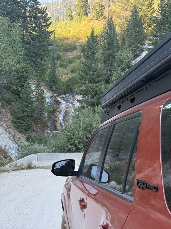
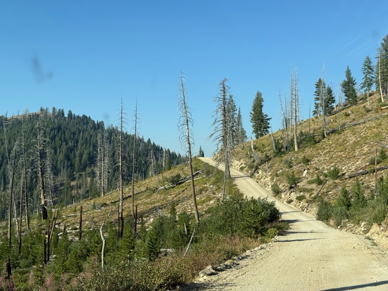
Pretty easy trail although there are some narrow spots along the way. Gets a bit bumpy and rocky as you head toward Atlanta but nothing difficult.
PS
Paul Smith
No Rating
Open
Visited: 09/01/2026
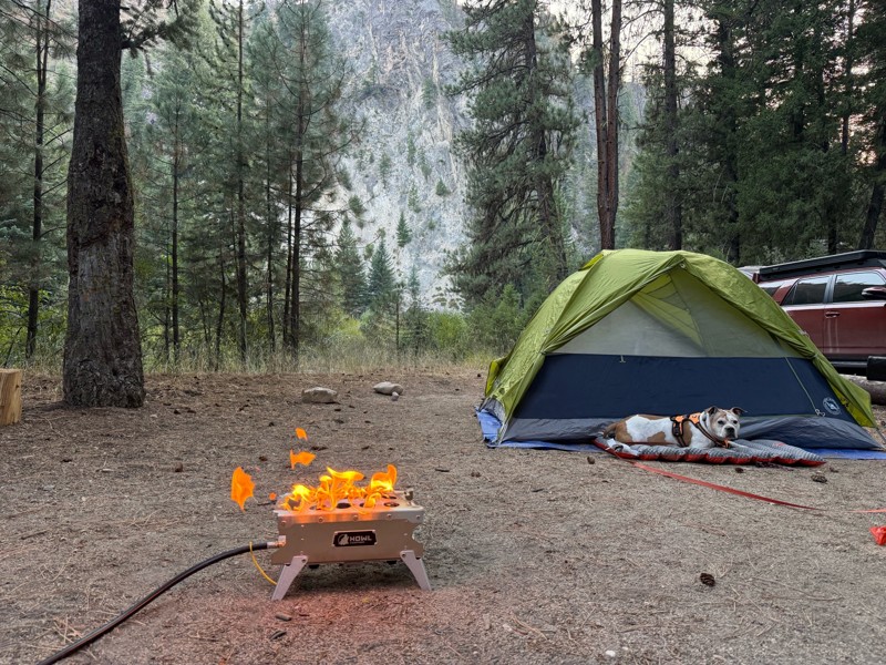
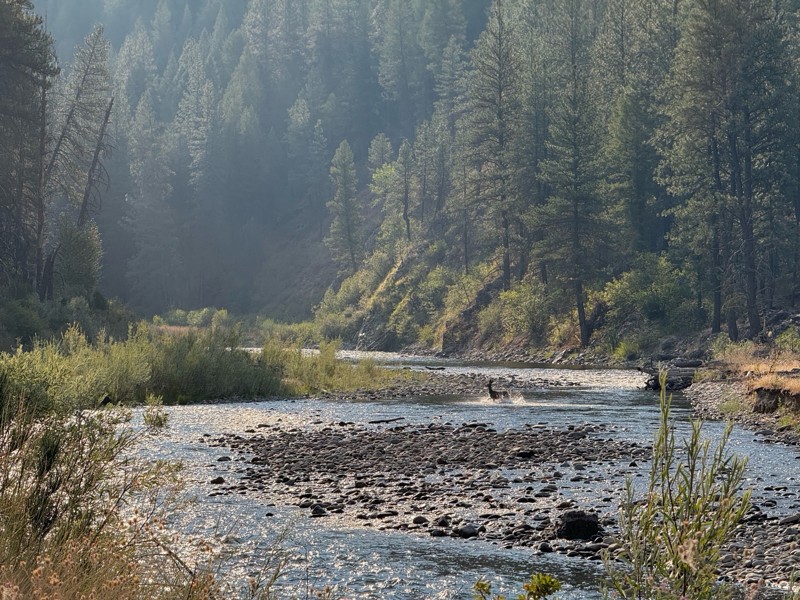
Beautiful and easy road. The smoke was wildfires was pretty bad but that can change. Any stock vehicle could do this at the moment. Campsites were all nearly empty which was a bonus.
PS
Paul Smith
Rated 3/5
Open
Visited: 08/22/2026
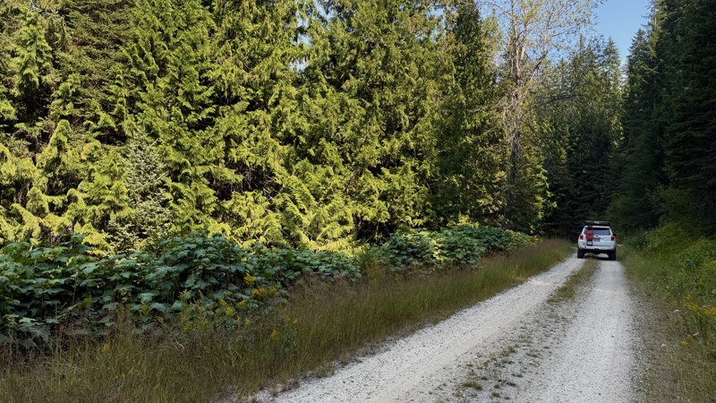
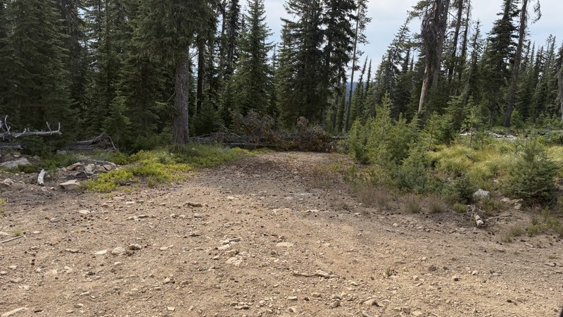
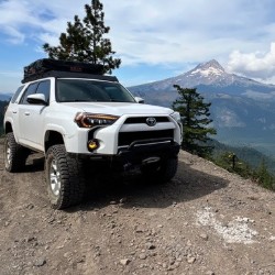
If it wasn't a very exciting trail, it still gets three stars because of how well-maintained it is. I can't even recall one single pothole the whole 4.5 miles. Otherwise, I was just using it as a conn...
Lorraine Bourget
Official Crew
Rated 3/5
Open
Visited: 08/22/2026
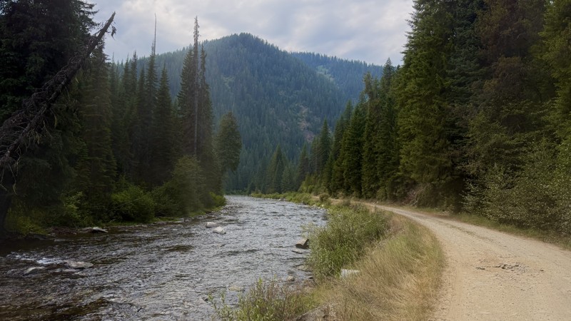
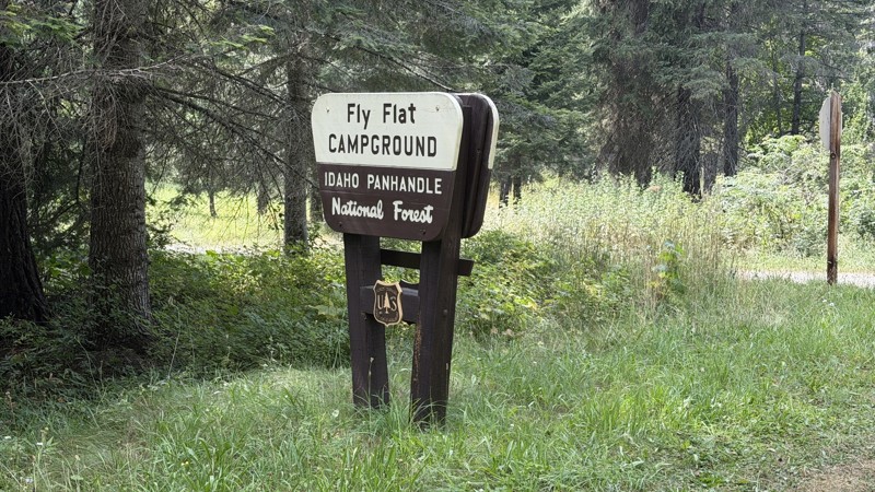
While it was a beautiful drive along the river, I'm rating this road 3 stars. Honestly, I planned my weekend around having the least amount of human contact possible but this section of my loop had ot...
Lorraine Bourget
Official Crew
Rated 5/5
Open
Visited: 08/22/2026
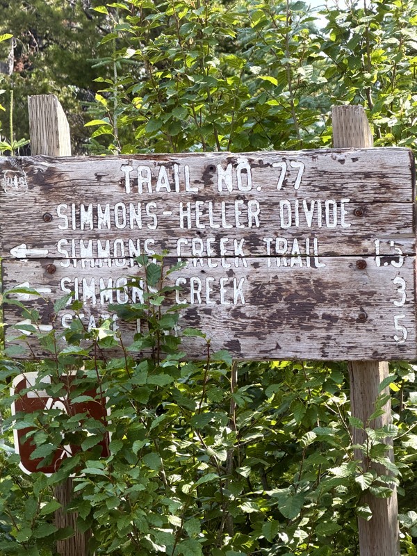
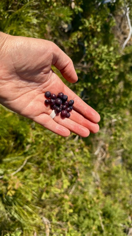
This trail holds a somewhat sentimental value to me. I randomly stumbled across it a couple of years ago when searching for somewhere to use my shower at the top of a mountain. Little did I know I wou...
Lorraine Bourget
Official Crew
Rated 4/5
Open
Visited: 08/21/2026
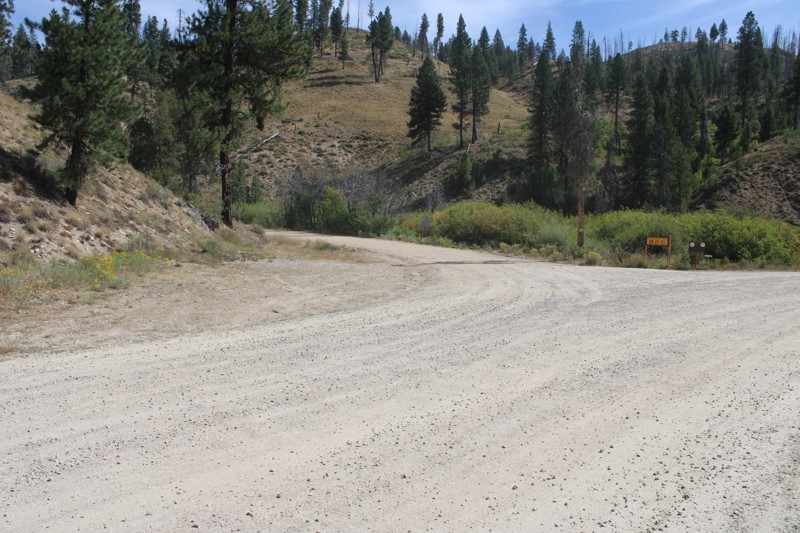
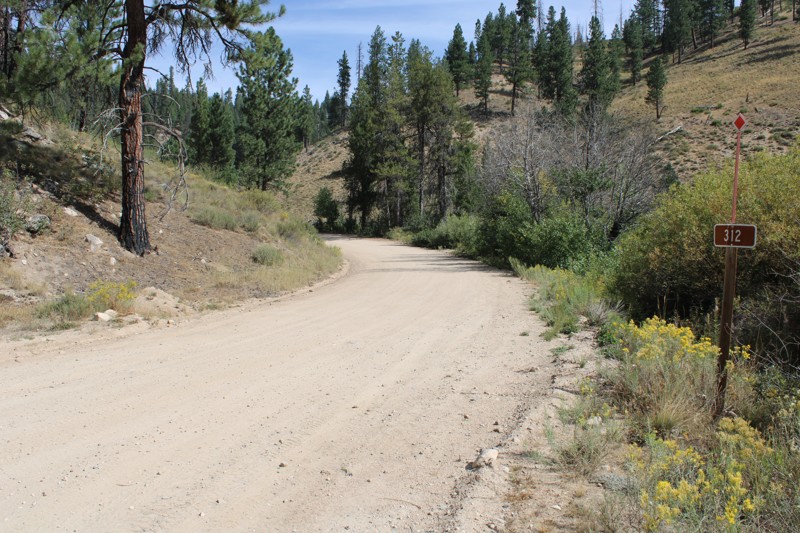
Pike's Fork Road is a spectacular drive into the heart of the Boise National Forest! One of the many dispersed campsites along its length makes an excellent destination for one night on a multi-night...

Bill Ward
Official Crew
Rated 5/5
Open
Visited: 08/16/2026
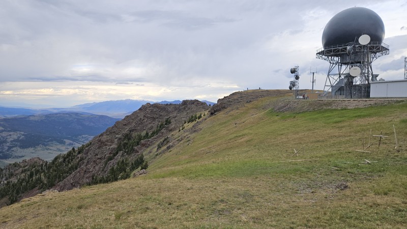
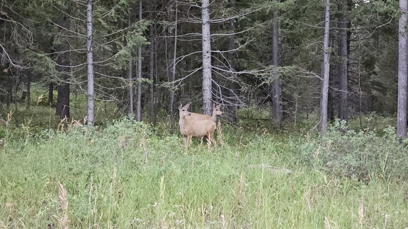
One person can give a group a bad name, especially in the side-by-side world, and that one was on the trail tonight like it was his private racetrack. Otherwise, a very peaceful and enjoyable drive. T...

Cory Wooldridge
Official Crew
Rated 5/5
Open
Visited: 08/11/2026
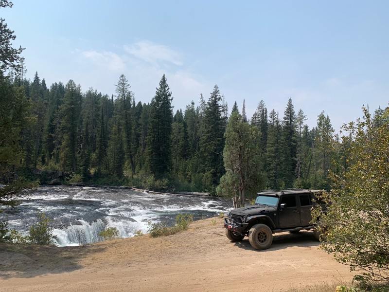
Great Jeep trail! Had fun running it and in pretty good shape. Dry and dusty with a few sections of rocks on decline/incline depending on what direction you’re going. No issues in my lifted Jeep. Not ...
JJ
Jill Jensen
No Rating
Open
Visited: 08/11/2026
Per the MVUM, the trail is seasonally open. As always, check current fire restrictions/closures before venturing out.

Trails Offroad
Official Crew
Open
Visited: 08/11/2026
Per the MVUM, the trail is seasonally open. As always, check current fire restrictions/closures before venturing out.
Trails Offroad
Official Crew
No Rating
Open
Visited: 08/11/2026
Per the MVUM, the trail is seasonally open. As always, check current fire restrictions/closures before venturing out.
Trails Offroad
Official Crew
No Rating
Open
Visited: 08/11/2026
Per the MVUM, the trail is seasonally open. As always, check current fire restrictions/closures before venturing out.
Trails Offroad
Official Crew
No Rating
Open
Visited: 08/11/2026
Per the MVUM, the trail is seasonally open. As always, check current fire restrictions/closures before venturing out.
Trails Offroad
Official Crew
No Rating
Open
Visited: 08/11/2026
Per the MVUM, the trail is seasonally open. As always, check current fire restrictions/closures before venturing out.

Todd
Official Crew
No Rating
Open
Visited: 08/11/2026
Per the MVUM, the trail is seasonally open. As always, check current fire restrictions/closures before venturing out.
Todd
Official Crew
No Rating
Open
Visited: 08/11/2026
Per the MVUM, the trail is seasonally open. As always, check current fire restrictions/closures before venturing out.
Todd
Official Crew
No Rating
Open
Visited: 08/11/2026
Per the MVUM, the trail is seasonally open. As always, check current fire restrictions/closures before venturing out.
Todd
Official Crew
No Rating
Open
Visited: 08/11/2026
Per the MVUM, the trail is seasonally open. As always, check current fire restrictions/closures before venturing out.
Todd
Official Crew
No Rating
Open
Visited: 08/11/2026
Per the MVUM, the trail is seasonally open. As always, check current fire restrictions/closures before venturing out.
Todd
Official Crew
No Rating
Open
Visited: 08/11/2026
Per the MVUM, the trail is seasonally open. As always, check current fire restrictions/closures before venturing out.
Todd
Official Crew
No Rating
Open
Visited: 08/11/2026
Per the MVUM, the trail is seasonally open. As always, check current fire restrictions/closures before venturing out.
Todd
Official Crew
No Rating
Open
Visited: 08/11/2026
Per the MVUM, the trail is seasonally open. As always, check current fire restrictions/closures before venturing out.
Todd
Official Crew
No Rating
Open
Visited: 08/11/2026
Per the MVUM, the trail is seasonally open. As always, check current fire restrictions/closures before venturing out.
Trails Offroad
Official Crew
No Rating
Open
Visited: 08/11/2026
Per the MVUM, the trail is seasonally open. As always, check current fire restrictions/closures before venturing out.
Trails Offroad
Official Crew
No Rating
Open
Visited: 08/11/2026
Per the MVUM, the trail is seasonally open. As always, check current fire restrictions/closures before venturing out.
Trails Offroad
Official Crew
No Rating
Open
Visited: 08/11/2026
Per the MVUM, the trail is seasonally open. As always, check current fire restrictions/closures before venturing out.
Trails Offroad
Official Crew
No Rating
Open
Visited: 08/11/2026
Per the MVUM, the trail is seasonally open. As always, check current fire restrictions/closures before venturing out.
Trails Offroad
Official Crew
No Rating
Open
Visited: 08/11/2026
Per the MVUM, the trail is seasonally open. As always, check current fire restrictions/closures before venturing out.
Trails Offroad
Official Crew
No Rating
Open
Visited: 08/11/2026
Per the MVUM, the trail is seasonally open. As always, check current fire restrictions/closures before venturing out.
Trails Offroad
Official Crew
No Rating
Open
Visited: 08/11/2026
Per the MVUM, the trail is seasonally open. As always, check current fire restrictions/closures before venturing out.
Trails Offroad
Official Crew
No Rating
Open
Visited: 08/11/2026
Per the MVUM, the trail is seasonally open. As always, check current fire restrictions/closures before venturing out.
Trails Offroad
Official Crew
No Rating
Open
Visited: 08/11/2026
Per the MVUM, the trail is seasonally open. As always, check current fire restrictions/closures before venturing out.
Trails Offroad
Official Crew
No Rating
Open
Visited: 08/11/2026
Per the MVUM, the trail is seasonally open. As always, check current fire restrictions/closures before venturing out.
Trails Offroad
Official Crew
No Rating
Open
Visited: 08/11/2026
Per the MVUM, the trail is seasonally open. As always, check current fire restrictions/closures before venturing out.
Trails Offroad
Official Crew
No Rating
Open
Visited: 08/11/2026
Per the MVUM, the trail is seasonally open. As always, check current fire restrictions/closures before venturing out.
Trails Offroad
Official Crew
No Rating
Open
Visited: 08/11/2026
Per the MVUM, the trail is seasonally open. As always, check current fire restrictions/closures before venturing out.
Trails Offroad
Official Crew
No Rating
Open
Visited: 08/11/2026
Per the MVUM, the trail is seasonally open. As always, check current fire restrictions/closures before venturing out.
Trails Offroad
Official Crew
No Rating
Open
Visited: 08/11/2026
Per the MVUM, the trail is seasonally open. As always, check current fire restrictions/closures before venturing out.
Trails Offroad
Official Crew
No Rating
Open
Visited: 08/11/2026
Per the MVUM, the trail is seasonally open. As always, check current fire restrictions/closures before venturing out.
Trails Offroad
Official Crew
No Rating
Open
Visited: 08/11/2026
Per the MVUM, the trail is seasonally open. As always, check current fire restrictions/closures before venturing out.
Trails Offroad
Official Crew
No Rating
Open
Visited: 08/11/2026
Per the MVUM, the trail is seasonally open. As always, check current fire restrictions/closures before venturing out.
Trails Offroad
Official Crew
No Rating
Open
Visited: 08/11/2026
Per the MVUM, the trail is seasonally open. As always, check current fire restrictions/closures before venturing out.
Trails Offroad
Official Crew
No Rating
Open
Visited: 08/11/2026
Per the MVUM, the trail is seasonally open. As always, check current fire restrictions/closures before venturing out.
Trails Offroad
Official Crew
No Rating
Open
Visited: 08/11/2026
Per the MVUM, the trail is seasonally open. As always, check current fire restrictions/closures before venturing out.
Trails Offroad
Official Crew
No Rating
Open
Visited: 08/11/2026
Per the MVUM, the trail is seasonally open. As always, check current fire restrictions/closures before venturing out.
Trails Offroad
Official Crew
Most Popular

Updated: 08/11/2026
Blackrock Canyon South Ridge
Blackrock, Idaho
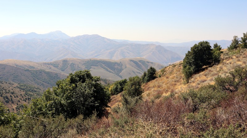
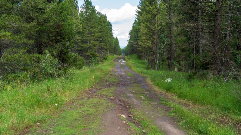
Blackrock Canyon South Ridge is a shortcut connector between Chinese Peak and Blackrock Canyon West. It is less than a mile long and primarily an easy, hard-packed dirt road. However, the trail is one vehicle wide, cutting across a steep, exposed slope, making passing oncoming traffic extremely difficult. It offers expansive views of the area but no camping opportunities.
This is a popular trail system for all user types, as there are over 40 miles of trails for motorized, equestrian, mountain biking, and hiking users. The trail system is seasonally closed from November 16th to April 15th each year.
Updated: 10/15/2024
Little Butte
Sarilda, Idaho
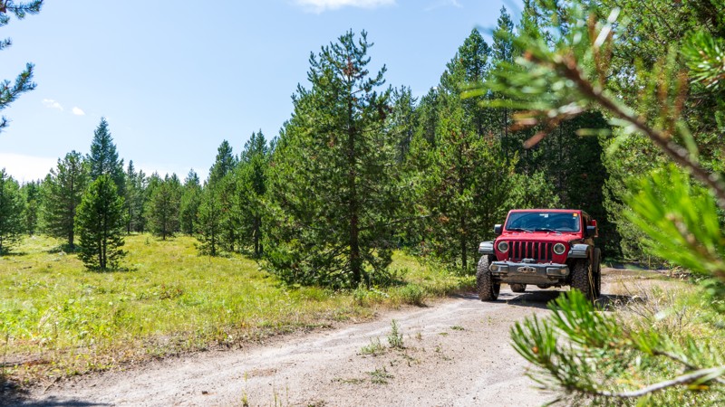
Stretching over three miles through the Targhee National Forest, Little Butte takes you from Highway 20 to South Antelope Flat. Although nothing more than a bumpy dirt road on a good day, this trail quickly becomes a mud fest after a passing thunderstorm. Ruts are a common occurrence. High ground clearance is required. A few dispersed campsites are found along this trail as well.
Updated: 10/15/2024
West Hatchery Ford
Warm River, Idaho
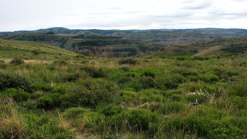
West Hatchery Ford is an easy, 1.5-mile dead-end trail taking you through the Targhee National Forest. Although there are no obstacles or specific sights, it is still a nice trail with lush vegetation and fresh air. Mud puddles may stick around in the shaded areas but are never more than a few inches deep and have a firm bottom. There were a few camping options sprinkled throughout the trail.
Updated: 08/11/2026
Dry Creek Road
Artesian City, Idaho
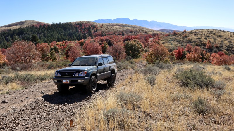
Dry Creek Road is one of several access roads that connect the agricultural area north of the Sawtooth National Forest to the vicinity of Oakley Rogerson Road. It is an easy road suitable for any vehicle with moderate ground clearance. While the surface is mostly dirt and coarse sand, there are areas where the natural base rocks protrude, causing a rather rough ride. The road primarily follows a long ridge with some rather outstanding panoramic views. The northern portion of the road is located on BLM land and features a relatively high-quality sagebrush steppe. Once you enter the National Forest, the sagebrush is often replaced by stands of both deciduous and coniferous trees, creating a delightful patchwork pattern. The trees become more abundant towards the south end of the road, but like much of Southern Idaho, many stands have burned over the years, leaving thick stands of dead trees.
Although dispersed camping is allowed along all of Dry Creek Road, there are no established dispersed sites within view of the road. Many side roads may lead to nice camping sites and are available for further exploration with an adequate vehicle.
Updated: 08/11/2026
Blackrock Canyon North Ridge
Inkom, Idaho
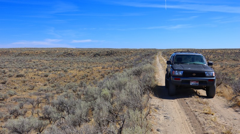
Situated in the northeast corner of the Chinese Peak-Blackrock Trail System and partially on Idaho State land, trail 0319 provides amazing views of the surrounding mountain range, especially so during the fall season when the hillsides erupt with vibrant color. The trail offers several steep hill climbs covered in hard rocks, making the ride quite rough. The trail begins at 0302, travels past 03113, and dead ends for any vehicle wider than 50". 50" or less vehicles can continue on, using several other ATV trails to loop back to the staging areas. Full-size users will need to use 0302 to create a full loop through Blackrock Canyon.
Along the trail, there are a limited few campsites, that are fairly large and level, suitable for any camp setup.
Updated: 08/11/2026
Northern Redwood Road
Sage Junction, Idaho
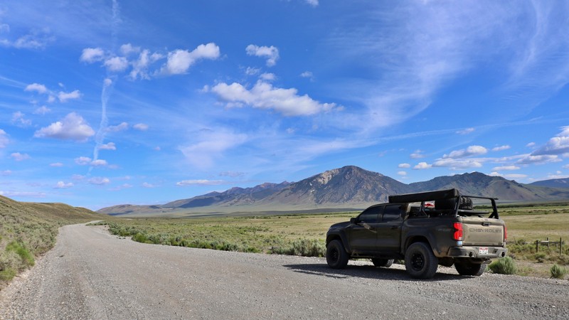
If you love a good desert landscape you may like this area. It's a nice easy drive through the desert with some mild challenges along the way. Being on Bureau of Land Management land you can camp along this trail, but don't expect to find any good camping spots. It's also not unusual to see fire restrictions in this area due to how dry it gets. For more details on camping on BLM land see their website.
Updated: 08/11/2025
Summit Creek/Pahsimeroi
Goldburg, Idaho
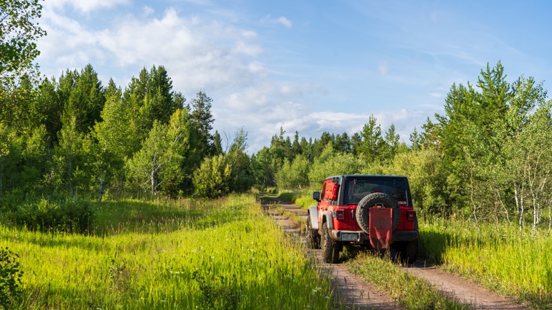
Summit Creek Road, often referred to as Pahsimeroi Road, is the main unpaved artery running through the heart of Idaho’s remote and stunning Pahsimeroi Valley. This rugged backroad serves as a key connector to a variety of off-road routes and scenic byways, linking adventurous travelers to places like Sawmill Canyon and Pass Creek Road, which crosses over the Lost River Range.
Just off the road lies the Summit Creek Recreation Site, a lush oasis fed by a network of natural springs and winding creeks. The recreation site features a peaceful campground complete with picnic tables and three vault toilets, offering a comfortable place to rest before the next leg of your journey.
Across the road, Summit Creek beckons anglers with populations of Rainbow, Brook, and Bull Trout in its calm, clear waters. And just a stone’s throw away, Barney Hot Springs offers a scenic and somewhat hidden escape, perfect for those looking to soak in a wild and off-the-beaten-path experience.
Whether you’re passing through on a longer overland route or settling in to explore the valley and surrounding ranges, Summit Creek Road delivers a blend of rugged adventure and serene high desert beauty.
Updated: 10/15/2024
Parallel
Sarilda, Idaho
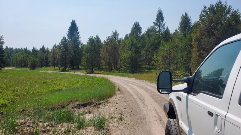
Although nothing overly difficult, Parallel had much more mud and bigger ruts than other trails in the area. Running parallel to Highway 20, this trail is tight in the trees, making the puddles stick around a tad longer. Due to the limited use, there's encroaching vegetation. Low-hanging branches could scratch your paint, so be on the lookout. Camping on this trail is possible in a few locations and is rather large and flat despite the confined nature of the trail itself.
Updated: 10/15/2024
Lyle Springs
Island Park, Idaho
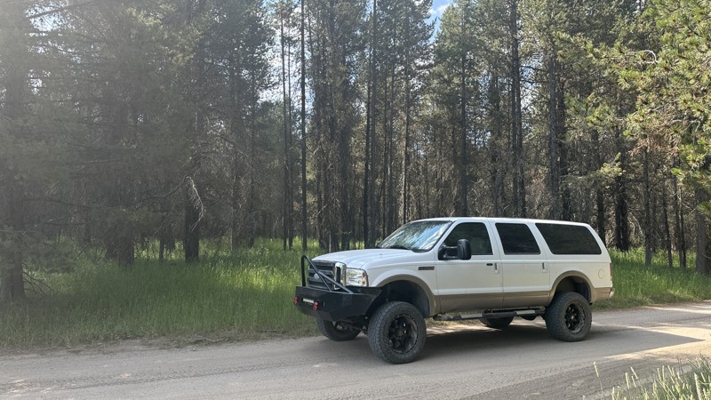
Lyle Springs Road, also known as FR170, is a packed dirt road that connects North Antelope Flat with Green Canyon Road. There are no obstacles along this trail, so it can be accessed by any high clearance vehicle. There are several established campsites along this route, with a few even large enough for trailers or multiple vehicles.
Updated: 10/15/2024
West End Campground Road
Rea, Idaho
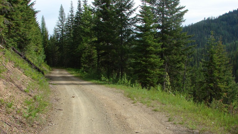
FR 465, also known as West End Campground Road, is a compacted, unmaintained dirt road that follows the southern shoreline of Island Park Reservoir. Occasionally, ruts and small washes in the road may accumulate water after heavy rain. Along this route are numerous free dispersed campsites, with several being large enough for multiple RV trailers. Many of these campsites are also within a short walking distance of Island Park Reservoir's shoreline, providing ample opportunity for shore fishing. This route passes by the West End Campground, with additional free dispersed campsites and a vault toilet. Also along this route is the West End Boat Ramp to Island Park Reservoir, which also has vault toilets and nearby camping.
Updated: 08/11/2025
Tepee Creek Road
Linfor, Idaho
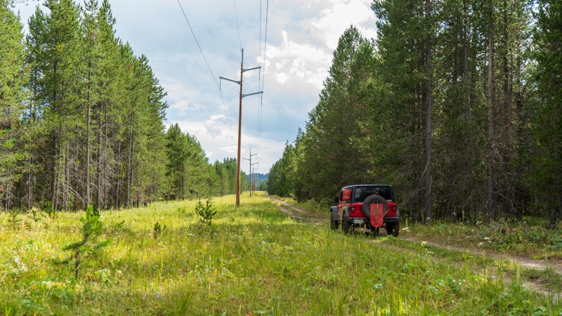
TePee Creek Road is a one-lane, mostly dirt road that runs from Stull Saddle to FS 422. At one time, the road was graveled, but most of the gravel has disappeared from the surface. The lower sections of the road are dotted with potholes, but it is still drivable by any vehicle with moderate ground clearance. Although much of the road goes through dense forest, there are ample opportunities for big, expansive views.
Dispersed camping is permitted; however, there are no established dispersed camping sites. There are a few wide spots and pullouts where an overnight camp could be established, but better options are available on nearby roads.
Updated: 10/15/2024
Sheep Falls Spur 1
Gerrit, Idaho
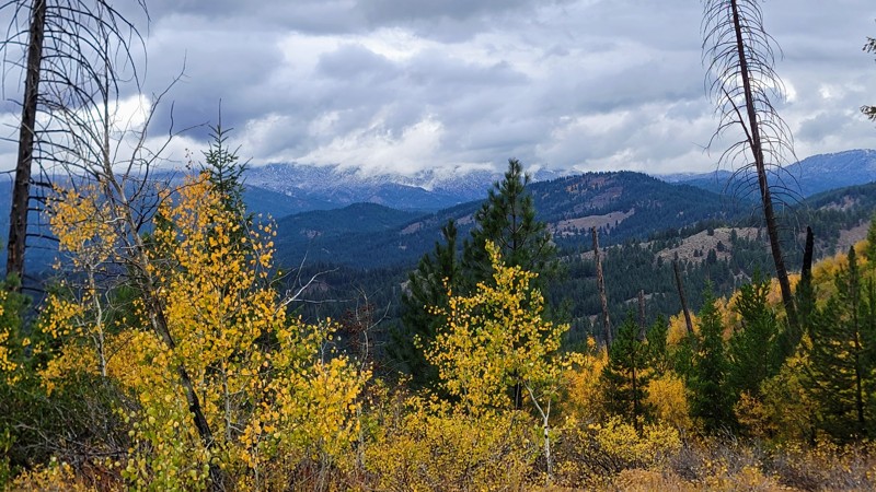
Sheep Falls Spur 1 is a bumpy dirt road that follows the powerlines to the river. Although there are no major challenges, mud puddles appear often and can be over a foot deep. There is not much in the way of views other than trees and powerlines, but the wildflowers between the poles can be quite vibrant. No camping was found anywhere along this trail, but nearby trails have multiple options.
Updated: 11/07/2025
Pine Creek Road
Idaho City, Idaho
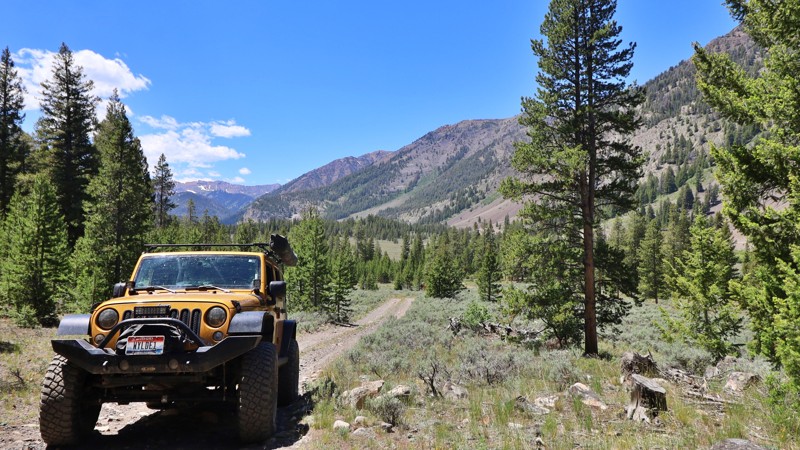
Pine Creek Road winds through the Boise National Forest with wide-open views of the surrounding Boise Mountains. The route begins just north of historic Idaho City, once one of the West’s largest mining towns in the 19th century, and follows a single-lane dirt track suitable for most high-clearance vehicles. Surface conditions range from smooth stretches to potholes and embedded rock, but the drive remains easy to navigate. There are no developed campgrounds along the road, though several dispersed sites appear along the way; for amenities, Bald Mountain Campground sits just past the southern end of the trail.
Updated: 10/15/2024
Kane Kappa Road
Sun Valley, Idaho
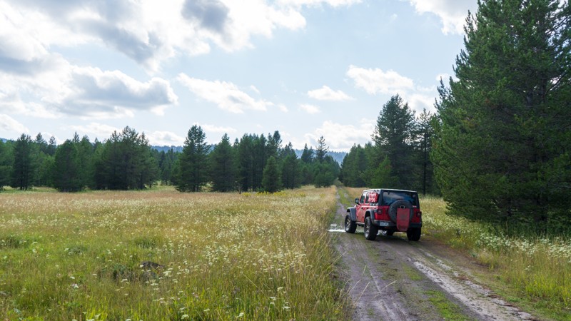
Kane Kappa Road offers a refreshing Jeep trail that escapes the busy, dusty Trail Creek. Caution is advised for passenger vehicles on this trail, where unexpected washouts and imposing rocks pose challenges. This straight-through trail leads you to the serene Kane Creek. While no established campsites dot this route, explorers can find promising offshoots offering ideal spots for dispersed camping.
Updated: 10/15/2024
High Point
Gerrit, Idaho
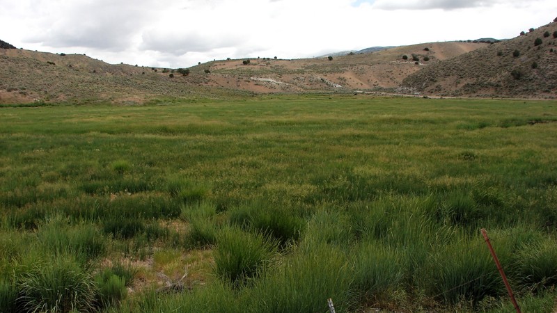
Although generally dry, this trail can provide quite an exciting time if storms have been rolling through. This packed dirt trail turns to slick mud and deep puddles during the peak of the monsoon season. Providing access to the Targhee National Forest, this trail departs right off Highway 20 and jogs 3 miles west, taking you far enough away to enjoy the peace and quiet that this area has to offer.
Updated: 12/02/2025
Goose Creek Road
Oakley, Idaho
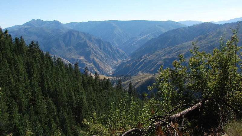
Goose Creek Road is a well-maintained, two-lane, gravel road starting near Oakley, Idaho, going southwest through a corner of Utah, and then ending in Nevada, where it connects with Jackpot Little Goose Road going north and Rock Springs Road going south. Much of the road follows along creeks where large fields of grass hay are grown for cattle feed. Where there is no grass hay, the landscape varies from a sagebrush steppe to a juniper forest. Because the route generally follows along the creek bottoms, there are many expansive views across the fields to the distant mountains. The junipers grow where the road lifts away from the bottoms to cross small mountain passes and shoulders.
The road is an easy drive suitable for any vehicle with moderate ground clearance. In Idaho and Utah, the road is generally maintained better than in Nevada. However, in the better-maintained areas, mild to severe washboards are a significant problem. In Nevada, there are fewer washboards, but there are some ruts and washes from spring moisture.
Dispersed camping is allowed on all of the public land along the road; however, there is only one established site, near the south end of the road. There are ample wide spots and pullouts along the road where a quick overnight camp could be established. Much of the bordering land is privately held; please be respectful of private land and avoid camping in those areas.
Updated: 08/11/2026
Grangeville Salmon Road
Riggins Hot Springs, Idaho
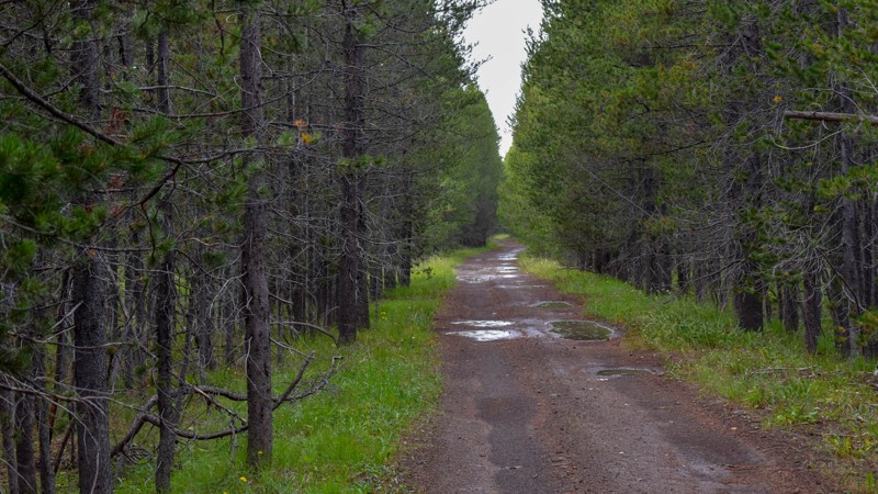
The Grangeville Salmon Road is a well-maintained, mostly two-lane, gravel road suitable for any vehicle with reasonable ground clearance. There are sections with moderate washboards and potholes. The most significant hazards are dust and blind curves. The road climbs from the Salmon River to about one-third of the way to Grangeville, where it becomes paved for the rest of the way to town. Much of the road provides excellent, panoramic views of the surrounding mountains and valleys.
There are no dispersed campsites along this dirt road. However, there are campgrounds down along the Salmon River and along the paved section of road heading to Grangeville.
Updated: 10/15/2024
Kooch Ranch
Big Springs, Idaho
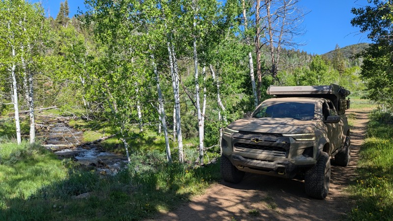
This is a very basic trail with not a ton of real value. No turnouts, campsites, outlet, or view beyond the trees. There are plenty of other trails in the area, time to leave this one for nature to reclaim.
Updated: 06/23/2025
Old Fish Haven
Fish Haven, Idaho
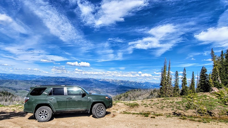
Old Fish Haven is a lesser-traveled, out-and-back trail that offers a more rugged and private backcountry experience. Right out of the gate, it has a rocky technical section made up of protruding basketball-sized rocks. After the initial rock garden, the trail has a few other smaller rock sections but mellows out and winds its way through dense forest. Fish Haven Creek cuts across the trail, adding to the remote mountain charm and offering a refreshing stop. Dispersed campsites are limited but peaceful, tucked off the trail and ideal for one or two rigs looking for solitude.
Updated: 08/11/2025
Summit Flat
Tenmile Summer Home Area, Idaho
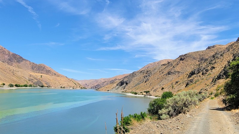
Located only an hour from Boise, Summit Flat Road (FSR 380) stretches from just north of Idaho City on its eastern end to the historic mining town of Pioneerville on the west. Pioneerville was one of the main mining towns during the Boise Gold Rush of 1862.
This tree-lined dirt and rocky road traverses the Boise National Forest, offering spectacular views of the rugged Sawtooth Mountains to the northeast and the Boise Mountains to the south. Be sure to take the short spur up to Pilot Peak; it offers the best views, and the spur is located at the southeastern end of the trail. Grimes Creek runs alongside most of the trail.
Towards the east of the trail, there are bumpy rocky sections with a mild incline that will keep your speeds low, but any high-clearance vehicle can make it. 4WD is recommended but not necessary. Along the drive, you will find only a few pullouts suitable for camping.
Updated: 08/11/2026
Olds Ferry Road
Eaton, Idaho
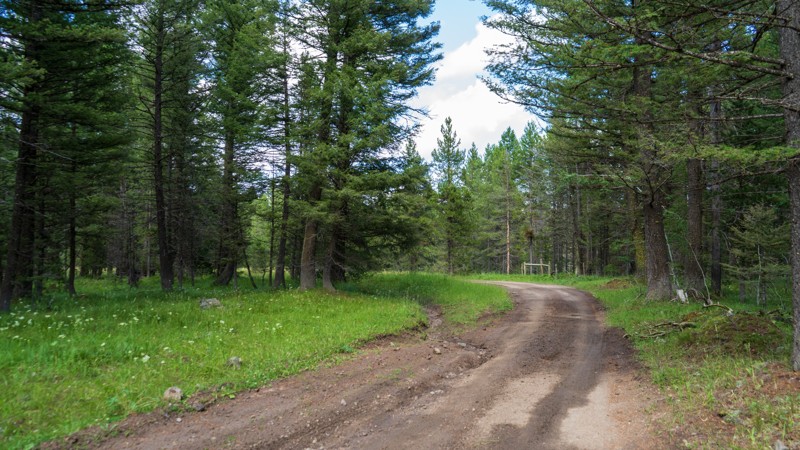
Olds Ferry Road is a scenic, easy-going drive that hugs the shoreline of Brownlee Reservoir, part of the Snake River, with golden hills of the Snake River Valley rising to the Hitt Mountain Range in the distance. The road is well-suited for high-clearance vehicles, with only a few rocky patches along the way, and rewards drivers with remarkable views and access to outdoor recreation. Steck Park, a developed campground right on the water, offers picnic tables, fire rings, a boat ramp, and reservable sites, making it a great basecamp for exploring the area. At the southern end, the road connects to the Weiser Sand Dunes OHV area, while the northern end is blocked by private property and a locked gate, so access is only possible from the town of Weiser. Whether you’re out for a leisurely drive or setting up camp by the reservoir, Olds Ferry Road delivers a quiet slice of Idaho’s high-desert beauty.
Updated: 10/15/2024
Antelope Cutoff
Island Park, Idaho
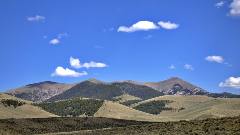
Acting as a jumper, Antelope Cutoff gets you from North Antelope Flat to South Antelope Flat very quickly, providing access to the main feeder trails from Highway 20 to this portion of the Targhee National Forest. Just like its bigger brothers, there are no major obstacles shy of a shallow mud puddle. Although camping is legal, there are no established sites, and you may be joined by a herd of cows if you choose to pitch a tent along this short trail!
Updated: 08/11/2025
O'Brien Gulch
Lone Pine, Idaho
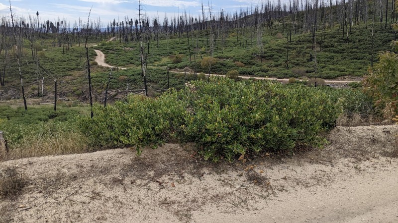
O’Brien Gulch is a scenic and straightforward gateway into the lower Bitterroot Range, linking Highway 28 to a network of rugged canyons and off-road routes, including the climb up South Fork Worthing. The drive eases you into the backcountry with a relatively mild trail that winds through rolling terrain and open stretches of sagebrush-covered hills.
There are no noticeable spots for setting up camp. Instead, O’Brien Gulch functions as a solid connector. This inviting entry point gradually transitions you from pavement to the high-country vistas and deeper adventures waiting farther up the trail.
Updated: 10/15/2024
Castle Creek
Pine, Idaho
Castle Creek, FS 130, starts on Fall Creek Road and goes onto a shelf along the west side of the Fall Creek Canyon. The area was burned by a forest fire in about 2012 and is covered in dead, standing trees with newer bushes and other vegetation starting to grow. The road is primarily on forest service land, but there is private land, some of which have cabins. Unless you can be sure you are on public land, it is best to stay on the road or the numbered side roads leading off the main road. FS 130 is open in the summer only as it is not cleared nor maintained in the winter. FS 130 connects with FS 136 to access the House Mountain area.
While dispersed camping is allowed, there are no campsites along the road. Dispersed campsites are on the small numbered roads leading off of the FS 130. Please ensure any site is on public land.
The primary hazards on FS 130 are washouts and ruts in the road, downed trees, and livestock. This is open range, so it’s possible to have cattle on or near the road.

Upgrade your Membership
Unlock all of the details on every Trail Guide and Scout Route.
Start a 7-day Free TrialBrowse Trails in Idaho by City
Browse every Idaho city with offroad trail guides.
Community
Partners

