



By clicking "ACCEPT", you agree to be the terms and conditions of each policy linked to above. You also agree to the storing of cookies on your device to facilitate the operation and functionality of our site, enhance and customize your user experience, and to analyze how our site is used.
Idaho Off-Road Trails
63
Total Trail Guides 60

644
Detailed Waypoints 302
Try a Free 7-Day Trial and unlock it all
Start a Free Trial Most Recent Trail Reviews
No Rating
Open
Visited: 09/19/2026
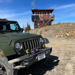
Fun drive, lots of dirt bikes and a few BDR Moto riders. Drove it in reverse direction.

Kim Richards
No Rating
Open
Visited: 09/19/2026
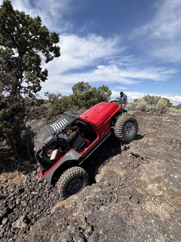
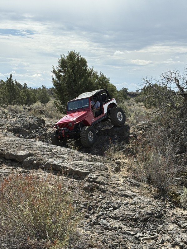
This trail was a great time. It is very unique, ive never been on a trail like it. the lava rock has plenty of traction and is pretty nasty on tires. But all in all I would recommend it to be done at ...
JP
Jared Pyne
Rated 3/5
Open
Visited: 09/15/2026
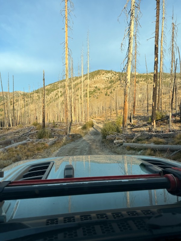
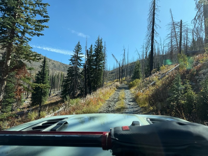
Trail consists of mostly narrow 2-track. Softball to soccer ball sized rocks. Slow going. Most of this forestland experienced fire in the past few years and is still recovering. Pulled a 9’ off-road t...
JH
Jason Holmes
No Rating
Open
Visited: 09/05/2026
Been going here for 57 years and the road keeps getting easier and easier. Sedans can make it.
BC
Bruce Chadwick
Rated 4/5
Open
Visited: 09/01/2026
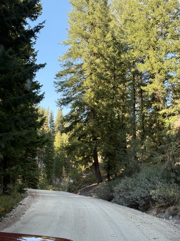
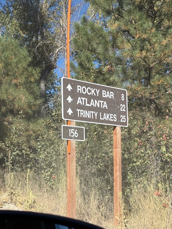
Easy trail that connects you to other great locations. Any vehicle could do this one.
PS
Paul Smith
Rated 4/5
Open
Visited: 09/01/2026
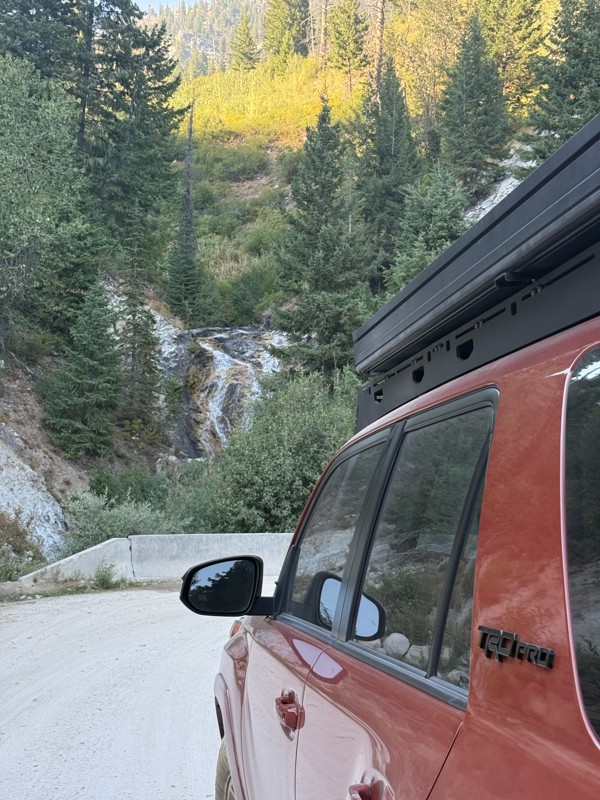
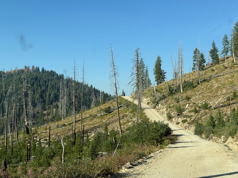
Pretty easy trail although there are some narrow spots along the way. Gets a bit bumpy and rocky as you head toward Atlanta but nothing difficult.
PS
Paul Smith
No Rating
Open
Visited: 09/01/2026
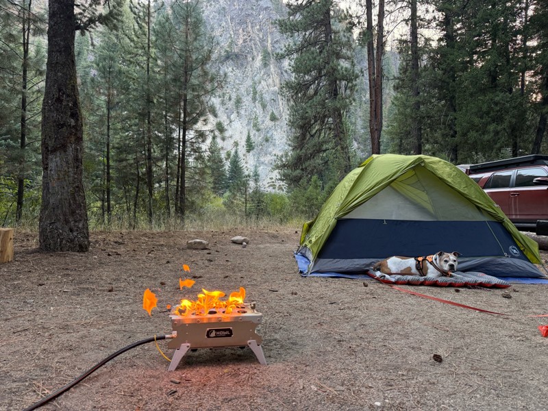
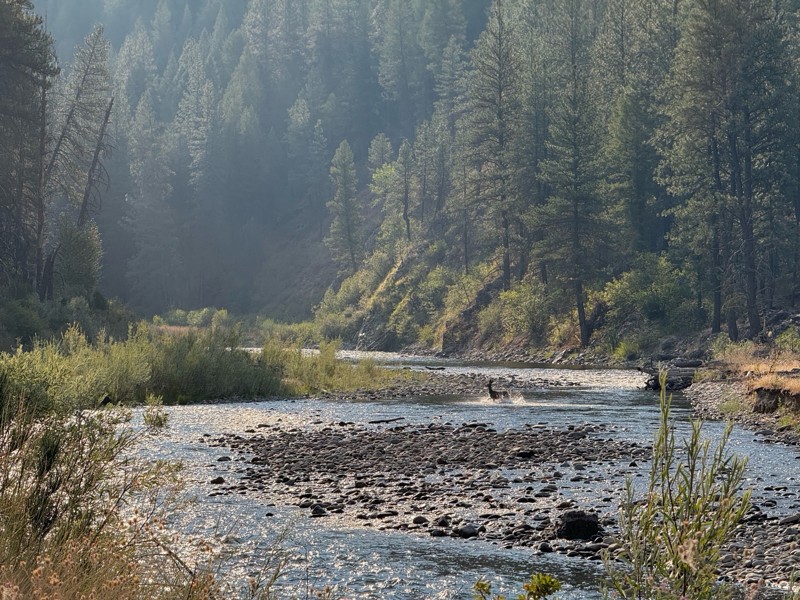
Beautiful and easy road. The smoke was wildfires was pretty bad but that can change. Any stock vehicle could do this at the moment. Campsites were all nearly empty which was a bonus.
PS
Paul Smith
Rated 3/5
Open
Visited: 08/22/2026
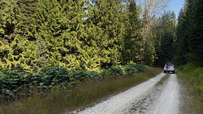
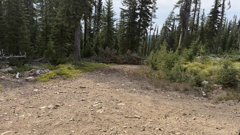
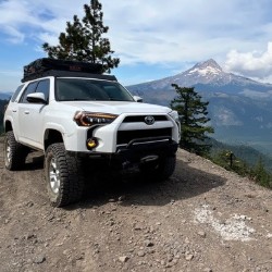
If it wasn't a very exciting trail, it still gets three stars because of how well-maintained it is. I can't even recall one single pothole the whole 4.5 miles. Otherwise, I was just using it as a conn...
Lorraine Bourget
Official Crew
Rated 3/5
Open
Visited: 08/22/2026
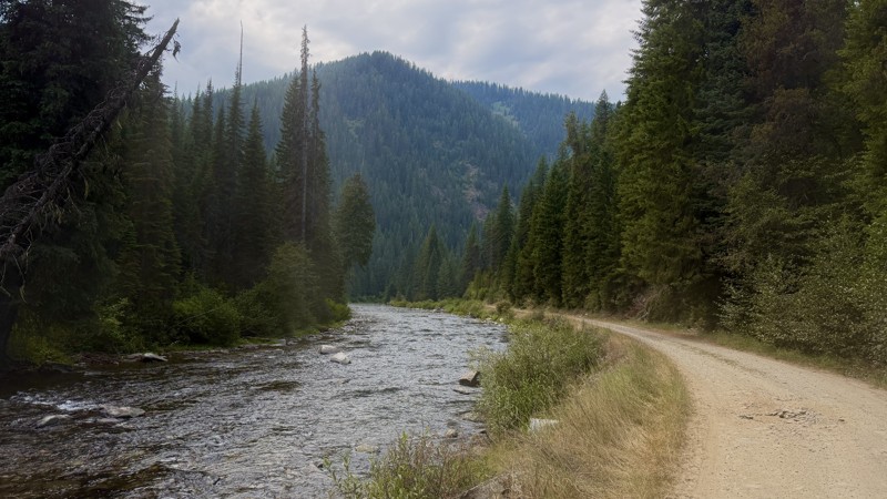
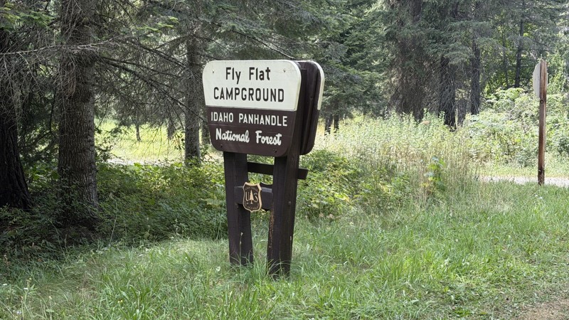
While it was a beautiful drive along the river, I'm rating this road 3 stars. Honestly, I planned my weekend around having the least amount of human contact possible but this section of my loop had ot...
Lorraine Bourget
Official Crew
Rated 5/5
Open
Visited: 08/22/2026
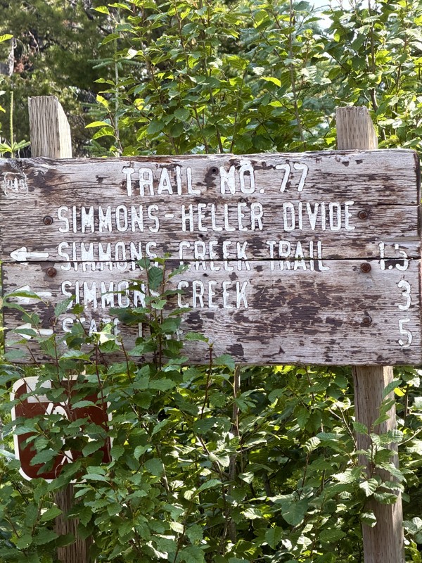
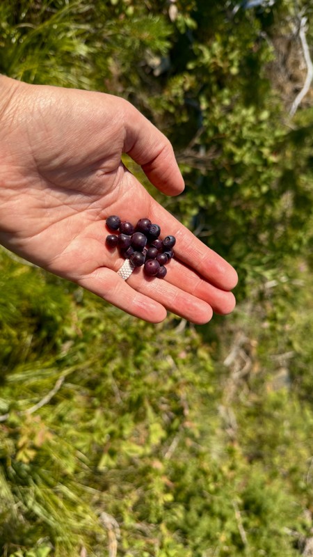
This trail holds a somewhat sentimental value to me. I randomly stumbled across it a couple of years ago when searching for somewhere to use my shower at the top of a mountain. Little did I know I wou...
Lorraine Bourget
Official Crew
Rated 4/5
Open
Visited: 08/21/2026
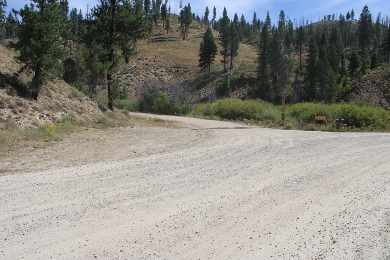
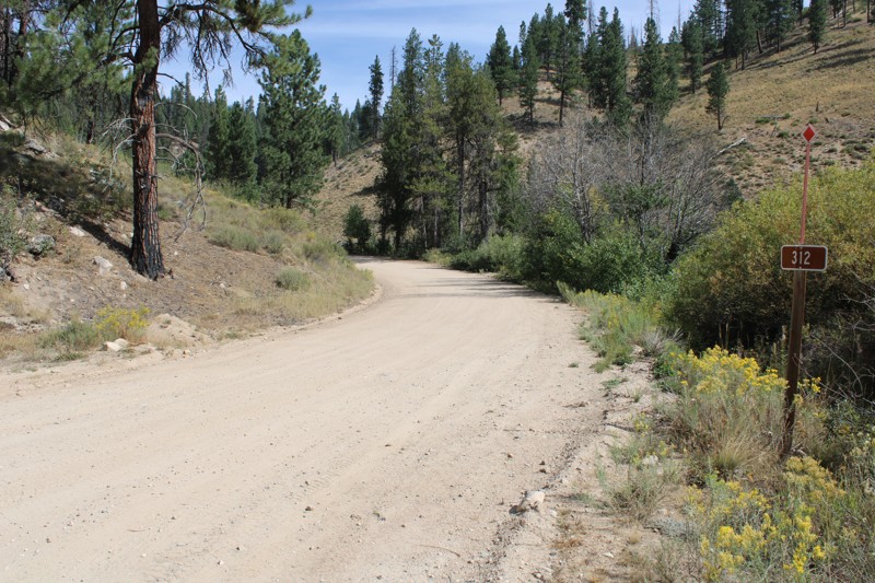
Pike's Fork Road is a spectacular drive into the heart of the Boise National Forest! One of the many dispersed campsites along its length makes an excellent destination for one night on a multi-night...

Bill Ward
Official Crew
Rated 5/5
Open
Visited: 08/16/2026
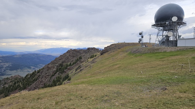
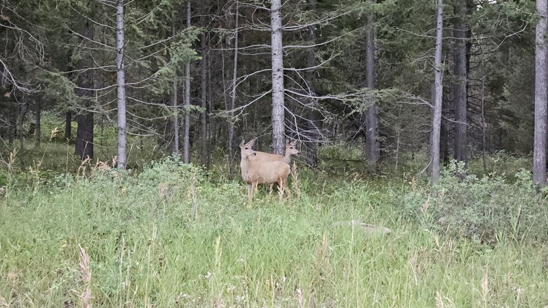
One person can give a group a bad name, especially in the side-by-side world, and that one was on the trail tonight like it was his private racetrack. Otherwise, a very peaceful and enjoyable drive. T...

Cory Wooldridge
Official Crew
Rated 5/5
Open
Visited: 08/11/2026
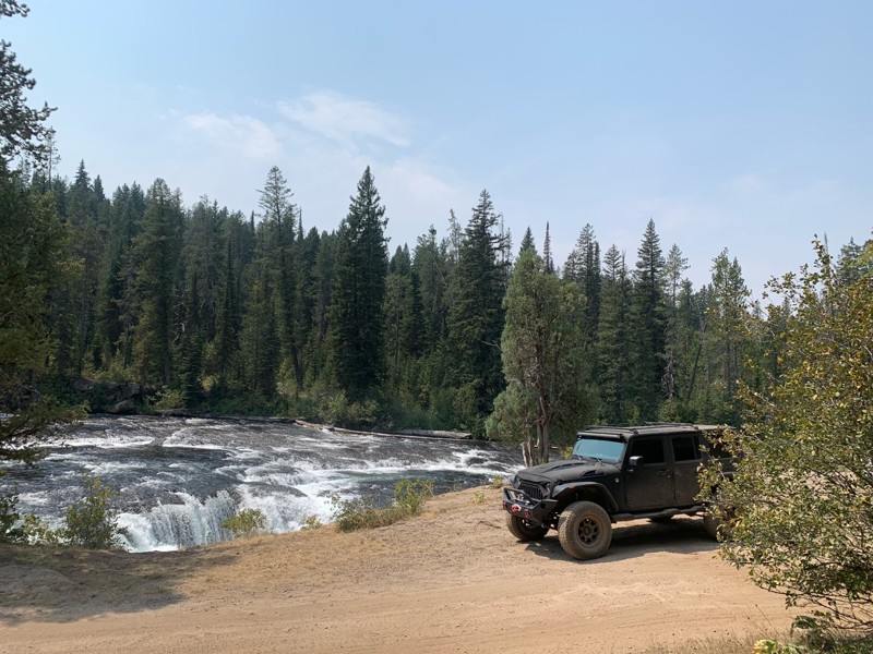
Great Jeep trail! Had fun running it and in pretty good shape. Dry and dusty with a few sections of rocks on decline/incline depending on what direction you’re going. No issues in my lifted Jeep. Not ...
JJ
Jill Jensen
No Rating
Open
Visited: 08/11/2026
Per the MVUM, the trail is seasonally open. As always, check current fire restrictions/closures before venturing out.

Trails Offroad
Official Crew
Open
Visited: 08/11/2026
Per the MVUM, the trail is seasonally open. As always, check current fire restrictions/closures before venturing out.
Trails Offroad
Official Crew
No Rating
Open
Visited: 08/11/2026
Per the MVUM, the trail is seasonally open. As always, check current fire restrictions/closures before venturing out.
Trails Offroad
Official Crew
No Rating
Open
Visited: 08/11/2026
Per the MVUM, the trail is seasonally open. As always, check current fire restrictions/closures before venturing out.
Trails Offroad
Official Crew
No Rating
Open
Visited: 08/11/2026
Per the MVUM, the trail is seasonally open. As always, check current fire restrictions/closures before venturing out.
Trails Offroad
Official Crew
No Rating
Open
Visited: 08/11/2026
Per the MVUM, the trail is seasonally open. As always, check current fire restrictions/closures before venturing out.

Todd
Official Crew
No Rating
Open
Visited: 08/11/2026
Per the MVUM, the trail is seasonally open. As always, check current fire restrictions/closures before venturing out.
Todd
Official Crew
No Rating
Open
Visited: 08/11/2026
Per the MVUM, the trail is seasonally open. As always, check current fire restrictions/closures before venturing out.
Todd
Official Crew
No Rating
Open
Visited: 08/11/2026
Per the MVUM, the trail is seasonally open. As always, check current fire restrictions/closures before venturing out.
Todd
Official Crew
No Rating
Open
Visited: 08/11/2026
Per the MVUM, the trail is seasonally open. As always, check current fire restrictions/closures before venturing out.
Todd
Official Crew
No Rating
Open
Visited: 08/11/2026
Per the MVUM, the trail is seasonally open. As always, check current fire restrictions/closures before venturing out.
Todd
Official Crew
No Rating
Open
Visited: 08/11/2026
Per the MVUM, the trail is seasonally open. As always, check current fire restrictions/closures before venturing out.
Todd
Official Crew
No Rating
Open
Visited: 08/11/2026
Per the MVUM, the trail is seasonally open. As always, check current fire restrictions/closures before venturing out.
Todd
Official Crew
No Rating
Open
Visited: 08/11/2026
Per the MVUM, the trail is seasonally open. As always, check current fire restrictions/closures before venturing out.
Todd
Official Crew
No Rating
Open
Visited: 08/11/2026
Per the MVUM, the trail is seasonally open. As always, check current fire restrictions/closures before venturing out.
Trails Offroad
Official Crew
No Rating
Open
Visited: 08/11/2026
Per the MVUM, the trail is seasonally open. As always, check current fire restrictions/closures before venturing out.
Trails Offroad
Official Crew
No Rating
Open
Visited: 08/11/2026
Per the MVUM, the trail is seasonally open. As always, check current fire restrictions/closures before venturing out.
Trails Offroad
Official Crew
No Rating
Open
Visited: 08/11/2026
Per the MVUM, the trail is seasonally open. As always, check current fire restrictions/closures before venturing out.
Trails Offroad
Official Crew
No Rating
Open
Visited: 08/11/2026
Per the MVUM, the trail is seasonally open. As always, check current fire restrictions/closures before venturing out.
Trails Offroad
Official Crew
No Rating
Open
Visited: 08/11/2026
Per the MVUM, the trail is seasonally open. As always, check current fire restrictions/closures before venturing out.
Trails Offroad
Official Crew
No Rating
Open
Visited: 08/11/2026
Per the MVUM, the trail is seasonally open. As always, check current fire restrictions/closures before venturing out.
Trails Offroad
Official Crew
No Rating
Open
Visited: 08/11/2026
Per the MVUM, the trail is seasonally open. As always, check current fire restrictions/closures before venturing out.
Trails Offroad
Official Crew
No Rating
Open
Visited: 08/11/2026
Per the MVUM, the trail is seasonally open. As always, check current fire restrictions/closures before venturing out.
Trails Offroad
Official Crew
No Rating
Open
Visited: 08/11/2026
Per the MVUM, the trail is seasonally open. As always, check current fire restrictions/closures before venturing out.
Trails Offroad
Official Crew
No Rating
Open
Visited: 08/11/2026
Per the MVUM, the trail is seasonally open. As always, check current fire restrictions/closures before venturing out.
Trails Offroad
Official Crew
No Rating
Open
Visited: 08/11/2026
Per the MVUM, the trail is seasonally open. As always, check current fire restrictions/closures before venturing out.
Trails Offroad
Official Crew
No Rating
Open
Visited: 08/11/2026
Per the MVUM, the trail is seasonally open. As always, check current fire restrictions/closures before venturing out.
Trails Offroad
Official Crew
No Rating
Open
Visited: 08/11/2026
Per the MVUM, the trail is seasonally open. As always, check current fire restrictions/closures before venturing out.
Trails Offroad
Official Crew
No Rating
Open
Visited: 08/11/2026
Per the MVUM, the trail is seasonally open. As always, check current fire restrictions/closures before venturing out.
Trails Offroad
Official Crew
No Rating
Open
Visited: 08/11/2026
Per the MVUM, the trail is seasonally open. As always, check current fire restrictions/closures before venturing out.
Trails Offroad
Official Crew
No Rating
Open
Visited: 08/11/2026
Per the MVUM, the trail is seasonally open. As always, check current fire restrictions/closures before venturing out.
Trails Offroad
Official Crew
No Rating
Open
Visited: 08/11/2026
Per the MVUM, the trail is seasonally open. As always, check current fire restrictions/closures before venturing out.
Trails Offroad
Official Crew
No Rating
Open
Visited: 08/11/2026
Per the MVUM, the trail is seasonally open. As always, check current fire restrictions/closures before venturing out.
Trails Offroad
Official Crew
No Rating
Open
Visited: 08/11/2026
Per the MVUM, the trail is seasonally open. As always, check current fire restrictions/closures before venturing out.
Trails Offroad
Official Crew
No Rating
Open
Visited: 08/11/2026
Per the MVUM, the trail is seasonally open. As always, check current fire restrictions/closures before venturing out.
Trails Offroad
Official Crew
No Rating
Open
Visited: 08/11/2026
Per the MVUM, the trail is seasonally open. As always, check current fire restrictions/closures before venturing out.
Trails Offroad
Official Crew
No Rating
Open
Visited: 08/11/2026
Per the MVUM, the trail is seasonally open. As always, check current fire restrictions/closures before venturing out.
Trails Offroad
Official Crew
Most Popular

Updated: 08/11/2025
Leiberg McGee
Canyon, Idaho
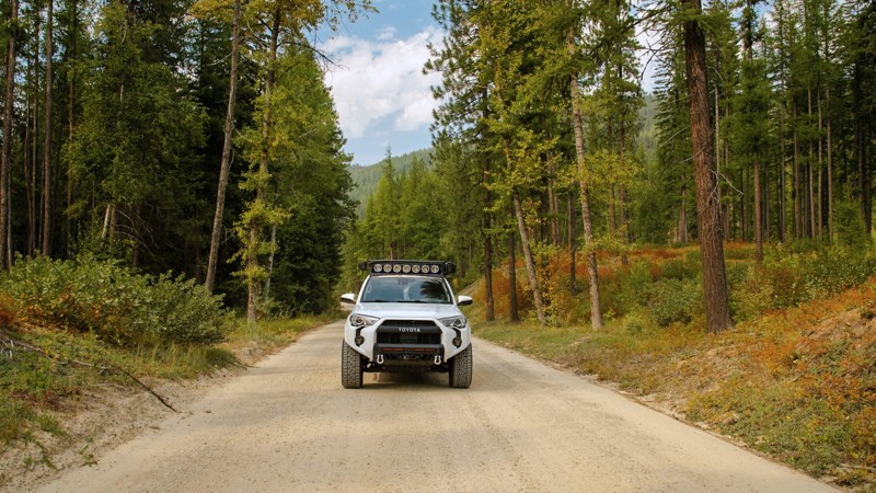
The Leiberg McGee Road is a two-lane gravel road from the McGee warming hut to FS 209. It can be driven by any vehicle with moderate ground clearance. On the north end, it follows TeePee Creek, where large open areas provide delightful views of the creek running through the valley bottom. Further south, it climbs away from the creek to the five-way Leiberg Saddle that can be confusing to navigate. Continuing south, it drops from the saddle to FS 209 along the North Fork of the Coeur d'Alene River.
The biggest hazards are potential dust, some blind curves, and some sections with potholes. Dispersed camping is available, but there were no established dispersed sites right along the road. Some dispersed camping is available on side roads, particularly near the northern end of McGee Leiberg Road.
Updated: 10/09/2025
Snow Creek
Moravia, Idaho
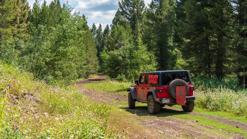
Snow Creek Road is a scenic, easy-going drive tucked into the forested hills southwest of Bonners Ferry, offering a peaceful way to explore Idaho’s lush northern backcountry. This well-graded gravel road has no obstacles or technical challenges, making it accessible to nearly any vehicle and perfect for a relaxed day of exploring. Towering pines and cedars line the route, filtering sunlight through a green canopy and giving the drive a secluded, wilderness feel. The road connects with several nearby routes, making it a useful link for travelers headed deeper into the Selkirk Mountains or exploring the surrounding forest network. While there’s no camping directly along the main road, the surrounding spur routes offer excellent opportunities to find a quiet dispersed site. Signs along the way remind visitors that this is active bear country, an authentic reminder of how wild and untouched the area remains. Toward the end of the road, you’ll find access to nearby hiking trails, including options that lead to scenic waterfalls, making Snow Creek Road an ideal mix of easy driving and natural beauty for anyone looking to slow down and enjoy Idaho’s mountain serenity.
Updated: 10/15/2024
Fir
Idmon, Idaho
Fir is an easy, packed-dirt trail taking you from Davis Lake over to the Antelope Flat area. The trail is a bit unique, with the color of the dirt changing from red to black as you climb and drop over the tame hills. There are no obstacles to be driven, so any high clearance vehicle is acceptable for driving this trail. Camping is available as well, with the best spot lying at the west end of the trail.
Updated: 10/15/2024
Orme Ranch
Big Springs, Idaho
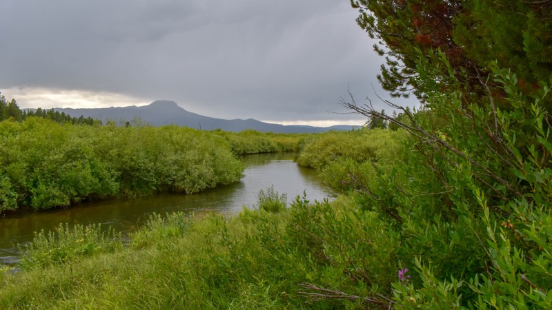
Orme Ranch Road is an out-and-back trail with three excellent campsites along Henrys Lake Outlet. The campsites are within the first half mile, as the remainder of the road is flanked by private property. The trail offers nice views further ahead but no turnouts or parking spots. The highlight of this trail is undoubtedly the campsites.
Updated: 09/11/2025
Newsom Creek Road
Mud Springs, Idaho
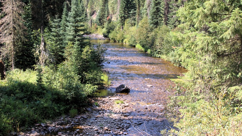
Newsom Creek Road goes from Highway 14 to a major intersection with Tahoe Road, FS 286, and Boundary Ridge Road, FS 464. From Highway 14 to the little hamlet of Newsom, about 8 miles, Newsom Creek Road is part of the Elk City Wagon Road, a historical road dating to the mining days in the Elk City area.
Today, Newsom Creek Road is a relatively easy drive on a well-maintained two-lane gravel roadbed; it can be navigated by any vehicle. There are a few sections of minor washboards and a few potholes. Other than that, the main hazards are dust and traffic on the numerous blind curves.
Between Highway 14 and Newsom, there are three very small national forest campgrounds with minimal amenities. Dispersed camping is permitted along the entire road, and there are several established sites, some of which are large enough to accommodate multiple RVs, along this lower stretch. Above Newsom, there are no campgrounds, and I didn't see any established dispersed sites.
Updated: 10/15/2024
Fogg Butte Road
Idmon, Idaho
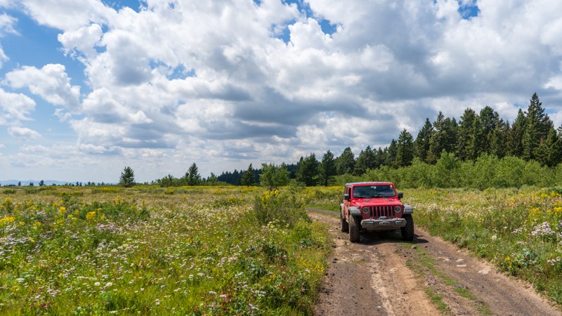
Acting as a cutover from Fir, Fogg Butte Road is a bumpy dirt road with no obstacles. It is short at only 1.3 miles and gives you access to Fogg Butte and a few dispersed campsites, although not many are ideal. From the open meadows on the caldera, this trail slowly climbs uphill to the north, dumping you into the trees of the Targhee National Forest.
Updated: 08/11/2026
High Quartz
Tenmile Summer Home Area, Idaho
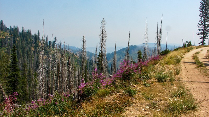
High Quartz Road goes from FS 380C (Summit Flat-Rock Creek) to FS 551 (Rock Edna). It is easy to drive and, although suitable for any vehicle, moderate ground clearance and good tires are recommended due to rocks and minor ruts. The primary hazards are blind turns. High Quartz is a shelf road for its entire length with no campgrounds or good places to set up a dispersed camp. The views are phenomenal, but the smoke from area wildfires can diminish them considerably. In early August, wildflowers are abundant, which brightens the terrain.
This is a seasonal road and is only open to vehicle traffic from July 1 through September 30.
Updated: 09/04/2025
Stibnite Road
Yellow Pine, Idaho
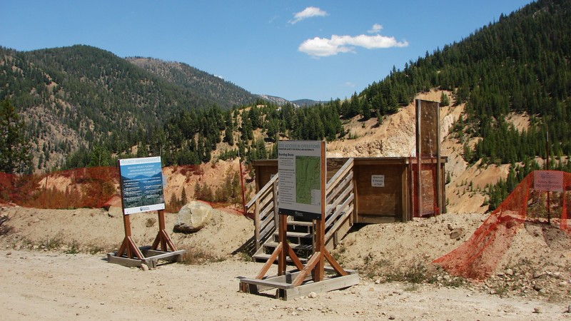
Stibnite Road connects Yellow Pine, Idaho, to the Stibnite Gold Project, a redevelopment of an old gold mine aimed at recovering gold and antimony while restoring the site's environmental aspects. The road dead-ends at the Stibnite Project, where it enters restricted areas. The road is a very well-maintained one to two lane gravel road that can be travelled by any vehicle. Before arriving at the historical and environmental Stibite Site, the road follows the East Fork of the South Fork of the Salmon River, which provides a continuous string of brilliant scenic views of rapids and riffles. The primary hazard is an abundance of very tight blind corners, severe amounts of dust, and, when the site is operational, the chance of meeting large trucks going to or from the site.
Dispersed camping is allowed along Stibnite Road, and there are several existing sites. Be aware that there is also a considerable amount of private property along the road that must be respected.
Updated: 10/09/2025
Burnt Creek Road
Prairie, Idaho
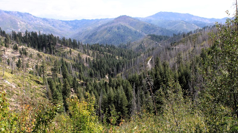
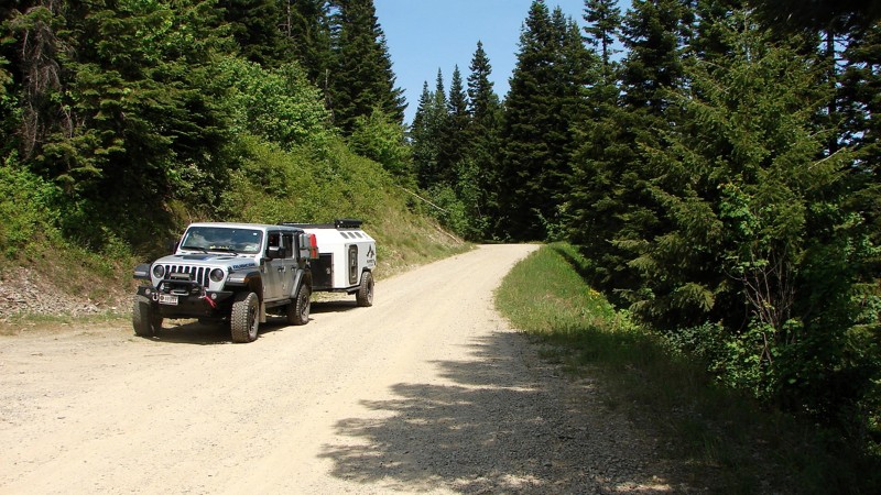
Burnt Creek Road is a typical, rough backcountry route connecting the small community of Prairie, Idaho, to Trinity Mountain Road, climbing through steep country with plenty of character. The road begins in the wide-open grasslands outside Prairie before narrowing into a one-lane gravel track that winds its way up into the mountains. Expect moderate washouts, loose granite surfaces, and a few sustained climbs where four-wheel drive proves useful, though nothing is overly technical for a driver who takes their time.
The reward for the effort comes in the scenery, with broad alpine views, rugged ridgelines, and a landscape shaped by both fire and regrowth. While burn scars in some stretches leave the hillsides raw, they also open the vistas to distant peaks and deep valleys. Along the way, you’ll find a few established dispersed campsites, some complete with old fire rings, particularly on the stretches of public land beyond the private holdings near Prairie. Whether you’re looking for a scenic climb, a quiet camp spot, or a connection deeper into the Trinity Mountains, Burnt Creek Road delivers a true Idaho high-country experience.
Updated: 08/11/2025
Chilco Road
Lakeview, Idaho
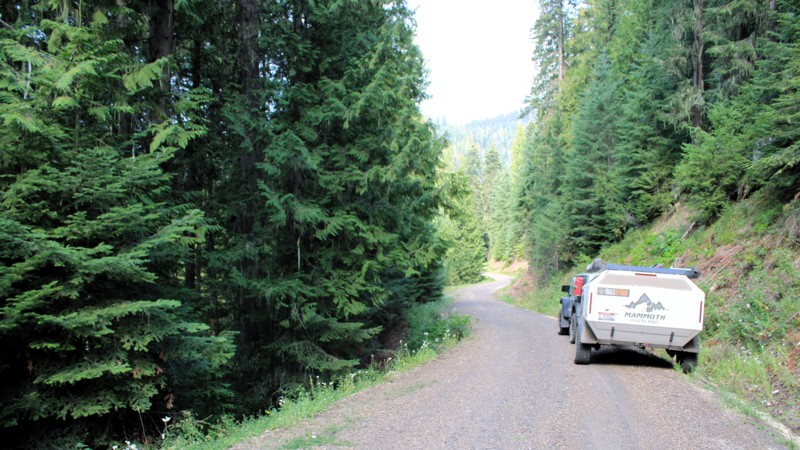
Chilco Road is a two-lane gravel road that leads into the interior of the Idaho Panhandle National Forest. Though not technical, the road is rough in places due to washboarding, exposed rocks, and small potholes. Numerous blind curves require attentive driving. It is generally suitable for any vehicle with moderate ground clearance. The area is especially popular with side-by-sides, ATVs, and motorcycles, particularly on weekends.
Despite traversing steep, mountainous terrain, the road is mostly lined with dense forest, which limits expansive views. Dispersed camping is permitted, though options are limited. One well-established site is located at the south end of the road and can accommodate multiple rigs.
Updated: 09/11/2025
Tahoe Road
Newsome, Idaho
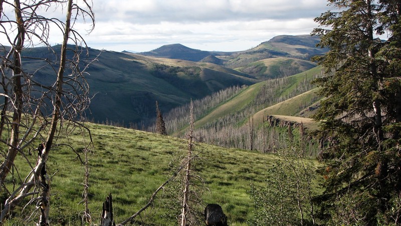
Most of Tahoe Road travels through dense forest that blocks all of the big views. On the Stites end of the road, there are a few open areas where the big views can be enjoyed. Even so, it's a delightful drive through the forest on a very windy, well-maintained gravel road. There are almost no washboards or potholes. The significant hazards are dust and blind curves. Tahoe Road can be driven by any vehicle.
There are no campgrounds along Tahoe Road. Dispersed camping is permitted, but there are very few established sites with existing fire rings. Several areas along the road are large enough and flat enough to set up a quick overnight camp.
Updated: 12/02/2025
Trapper Creek Road
Iversons, Idaho
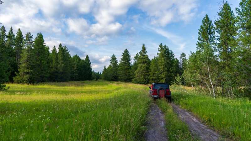
Trapper Creek Road is a well-maintained, one to two-lane gravel road that runs from the Oakley Rogerson Road to Goose Creek Reservoir, near the town of Oakley, Idaho. It is an easy drive suitable for any vehicle with moderate ground clearance. The surface ranges from dirt two-track to large gravel, with some areas where the base rock is exposed, making for a rough ride.
From the Oakley Rogerson Road, Trapper Creek Road goes mostly south through the Sawtooth National Forest before turning east and heading towards the reservoir. The first section is a patchwork of forest and open areas, offering numerous expansive views of the surrounding mountains. Once the road turns east, the forest sections thin out, and the landscape becomes more dominated by sagebrush desert. At the turn to the east, the road enters a deep, narrow canyon with spectacular rock formations and cliffs. As one approaches the reservoir, the canyon bottom opens up, providing views of the currently snow-capped mountain in the distance.
Dispersed camping is allowed along the length of Trapper Creek Road; however, established sites are not available until near the reservoir, where several very nice sites can be found. There is some private land in this area, so please, be respectful!
Updated: 10/15/2024
Stock
Sarilda, Idaho
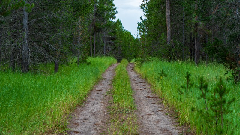
Stock is an easy but likely muddy dirt road running from South Antelope Flat north to High Point. At just over a mile and a half, the trail crosses lush green meadows scattered among the pine trees. This trail stays mostly shaded, so the water sticks around slightly longer than more heavily used trails. Camping was marginal, but many incredible camping opportunities are found along South Antelope Flat.
Updated: 10/15/2024
North Antelope Flat Spur 1
Island Park, Idaho
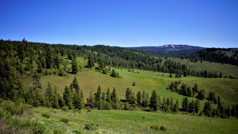
Spur 1 is a short trail just off of its namesake main trail, North Antelope Flat. It runs just under 2.5 miles with random bumps, ruts, and puddles, and ends at a small turnaround that could be used for camping. There is also one large campsite right near the trailhead if you have a bigger group. If there have been numerous storms in the past few days, the puddles could be quite long and slick.
Updated: 04/24/2026
Sagehen Spur 626U1
Gross, Idaho
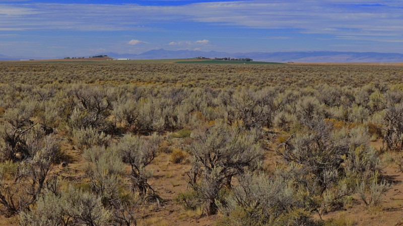
Sagehen Spur 626U1 is a .2-mile long out-and-back spur off of 626U that ends at a dispersed campsite. This trail is within Idaho's hunting unit 32A, where you will be sharing your space with deer, elk, black bears, mountain lions, and wolves, to name a few. This trail is one of many spurs along the main Sagehen Road and is best described as a dispersed camping paradise nestled among the pines, fir, and spruce. Shrubs and grasses dotted with wildflowers fill in the non-forested areas. It is a typical pine forest dirt trail that can get a bit muddy and slippery during rain or snowy weather, but the trail is relatively flat and should be manageable by most high clearance vehicles.
Sagehen Dam and Reservoir is just 1.5 miles to the east. The reservoir has four improved campgrounds; some are first come, first served, and others require a reservation. The lake is well known for its rainbow trout, so bring your fishing pole.
Updated: 08/11/2026
Hamer 3100 E
Hamer, Idaho
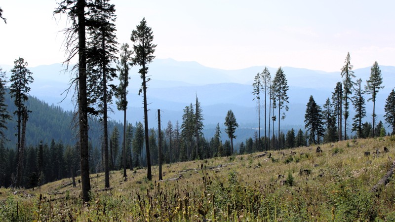
If you love a good desert landscape you may like this area. It's a nice easy drive through the desert starting at 3100 E at the north end or at Hamer Road to the south. To the north, you'll find county roads and farmland, with the southern area being on Bureau of Land Management land. You can camp along the southern portion of the trail but don't expect to find any good camping spots. It's also not unusual to see fire restrictions in this area due to how dry it gets. For more details on camping in BLM areas see their website.
Updated: 09/11/2025
Mud Springs and Indian Trail Roads
Mud Springs, Idaho
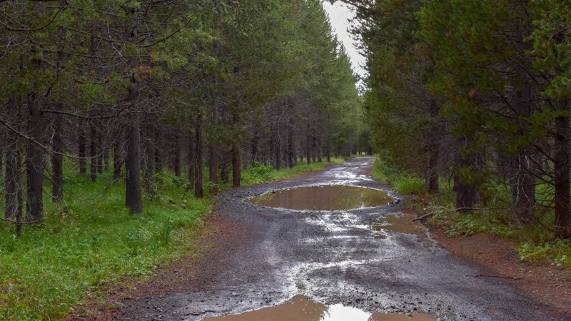
The original Elk City Wagon Road left Newsom Creek Road and climbed up Smith Grade. Slides now block Smith Grade, so the modern Wagon Road route was moved a few miles down Newsom Creek Road to Mud Springs Road. After about three miles, Mud Springs Road reconnects with the original Wagon Road and becomes Indian Trail Road. It is all one road with no way to get off of it in that area. The road runs from Newsom Creek Road to Sweeney Hill Road, which becomes paved and runs down to Elk City, where limited supplies are available.
The road is mostly well-graveled, one to two lanes wide, and can be driven in any vehicle with reasonable ground clearance. It is heavily forested on both sides, limiting the expansive views so often found in this area. There are some minor washouts and potholes. The main hazard is blind curves.
There are no campgrounds along the road. Dispersed camping is allowed, but there are no established dispersed sites with existing fire rings. If needed, one could pull off onto a wide spot in the road or drive down one of the gated side roads to establish a quick camp.
Updated: 10/15/2024
Meadow Creek Cutoff
Big Springs, Idaho
Running between Meadow Creek and Black Canyon, this easy connector trail has tall trees and a few sweeping turns. The area has abundant foliage, making it a good spot for picking mountain berries.
There are no campsites along this trail.
Updated: 06/10/2025
Southern Redwood Road
Sage Junction, Idaho
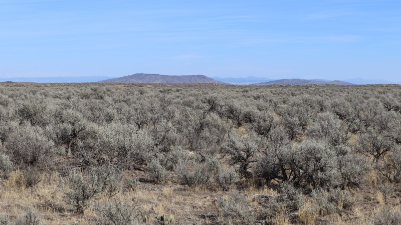
If you love a good desert landscape you may like this area, and you can also get a good distant view of the Menan Buttes along this road. It's a nice easy drive through the desert with some mild challenges along the way. This road used to go all the way through to Roberts, but since the creation of the Market Lake Wilderness area, the southern end of the road has been closed to motorized travel.
Being on BLM land, you can camp along this trail but don't expect to find any well-established camping spots. It's also not unusual to see fire restrictions in this area due to how dry it gets. For more details on camping on BLM see their website about camping.
Updated: 08/11/2025
Upper Coeur d'Alene Road
Granite, Idaho
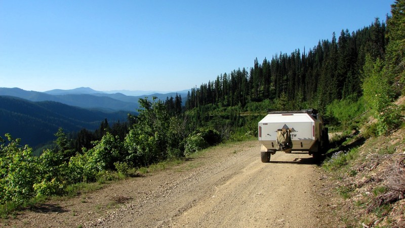
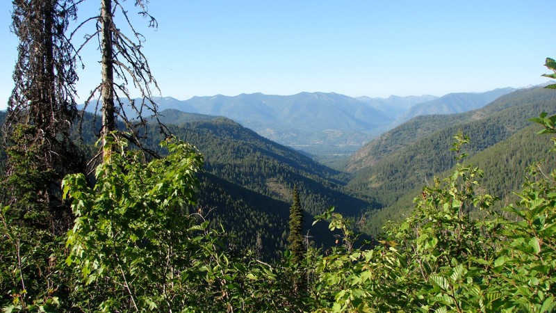
Upper Coeur d’Alene Road is a delightful, easy drive down from Johnson Divide Road (FS 1066) to Buckskin Road (FS 1533). The surface varies from a two-lane gravel road to a single-wide two-track, with weeds growing in the center. There are minor potholes, but nothing that would trouble any vehicle with moderate clearance. At the north end, the road gradually descends from the ridge, offering magnificent views of the surrounding forest and mountains. Down lower, the road follows a drainage, and the trees close in, but it is still a delightfully scenic drive along a winding road through the forest.
Dispersed camping is permitted, but options are limited. There is a nice site at the intersection with FS 1066, and there are a couple of nice sites down along the drainage. Unfortunately, there is a lot of moisture along the drainage, and mosquitoes are likely to be a problem.
Updated: 08/11/2025
Johnson Divide Road
Granite, Idaho
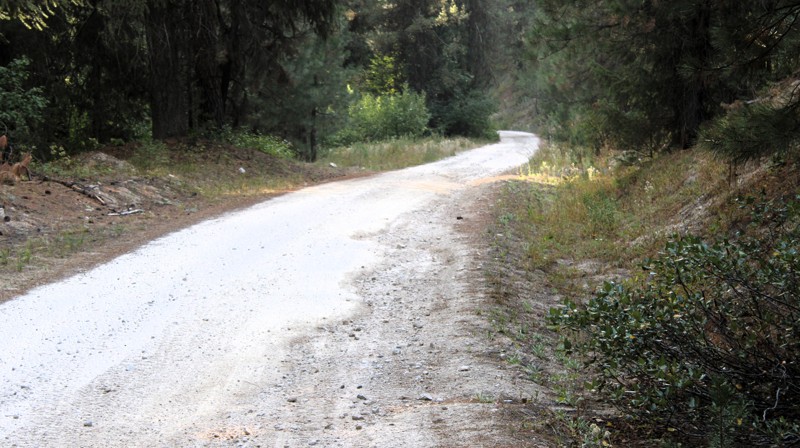
Johnson Divide Road is a short gravel connector that runs from Johnson Creek Road, FS 278, into the interior of the Idaho Panhandle National Forest. It is relatively well-maintained and two lanes wide, making it accessible to all vehicle types.
Like many roads in the area, drivers should expect frequent small but deep potholes. Dust can also become an issue when encountering oncoming traffic, especially in dry conditions. Scenic views are mostly limited due to dense forest cover, though occasional breaks in the trees and wider clearings provide glimpses of the surrounding landscape.
Dispersed camping is permitted along the road, but the only established site is located at the southern end where Johnson Divide Road meets Upper Coeur d’Alene Road, FS 306.
Updated: 09/24/2025
Cayuse Creek Road
Featherville, Idaho
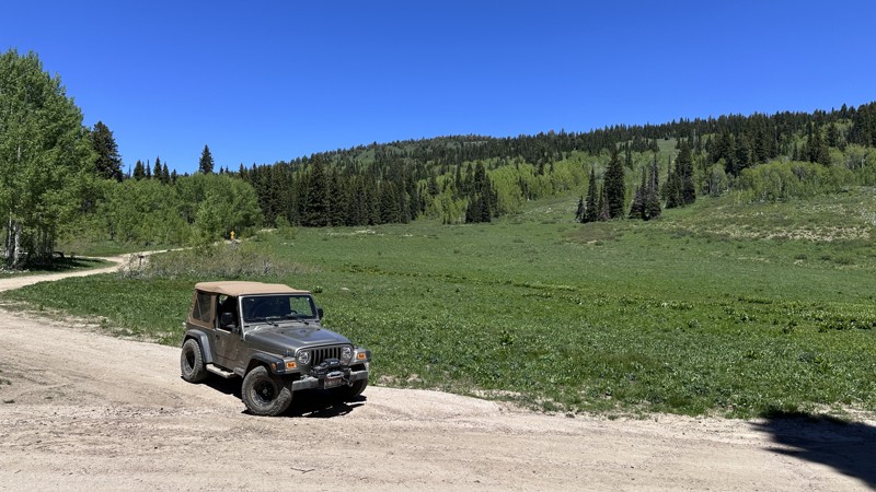
Cayuse Creek Road starts at a gravel reclaimation site in Featherville and runs up through some private land and mining claims. Most of the road is well-maintained gravel, except for the upper section, after the creek crossing, at which point the road becomes a slightly rougher dirt road with small embedded rocks. Shortly after crossing the creek, the road comes to an end. Although it is a pleasant enough road to drive, it doesn't lead anywhere, and it holds nothing spectacular that would make it particularly worth taking.
There are no opportunities to camp along Cayuse Creek Road due to the private property.
Updated: 06/18/2026
Eight Mile Creek Road
Bench, Idaho
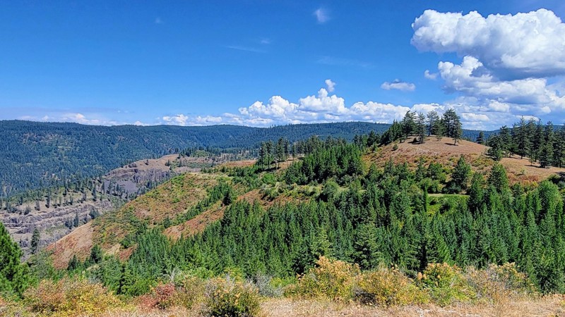
Eight Mile Creek Road is a scenic mountain valley trail near Soda Springs, Idaho, offering nearly 10 miles of backcountry exploration. The route follows Eight Mile Creek for much of the drive, with the stream adding both beauty and character to the trail. Early portions of the route include several good dispersed camping opportunities, making this a great option for setting up camp and spending the day exploring nearby roads and trails. Eight Mile Creek Road also connects to several other trails making it a great access point for adventure in the Caribou National Forest.
The trail is suitable for stock 4x4 vehicles in dry conditions, though drivers should expect a moderate experience. In places, the creek has eroded portions of the road, creating narrow and uneven sections that require careful tire placement. The most notable challenge is a steeper rocky climb that adds some fun without making the trail overly difficult. Eight Mile Creek Road is less of a destination route and more of an enjoyable mountain trail to drive, camp, and ride while taking in the tranquil scenery of southeast Idaho.
Updated: 09/04/2025
Free Use Road
Shells Lick, Idaho
Free Use Road (Forest Service Road 243) is a spectacular, point-to-point drive through the Nez Perce National Forest, supplying breathtaking views of Dairy Mountain and the surrounding Cold Spirings Mountains.
This double-wide gravel road is well-maintained, and suitable for any vehicle. It connects Highway 95 in the west and Grangeville-Salmon Road in the east, and is located just south of Grangeville. There are no developed campgrounds along this trail; however, there are some opportunities for dispersed camping off the main road in the eastern section of the trail.

Upgrade your Membership
Unlock all of the details on every Trail Guide and Scout Route.
Start a 7-day Free TrialBrowse Trails in Idaho by City
Browse every Idaho city with offroad trail guides.
Community
Partners

