







By clicking "ACCEPT", you agree to be the terms and conditions of each policy linked to above. You also agree to the storing of cookies on your device to facilitate the operation and functionality of our site, enhance and customize your user experience, and to analyze how our site is used.
Arizona Off-Road Trails
373
Total Trail Guides 359

4679
Detailed Waypoints 676
Try a Free 7-Day Trial and unlock it all
Start a Free Trial Most Recent Trail Reviews
No Rating
Open
Visited: 09/23/2026
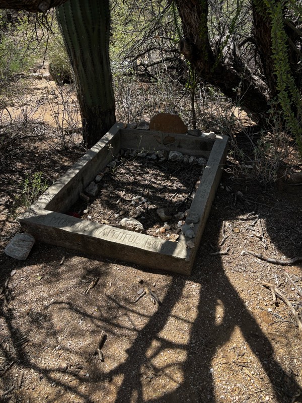
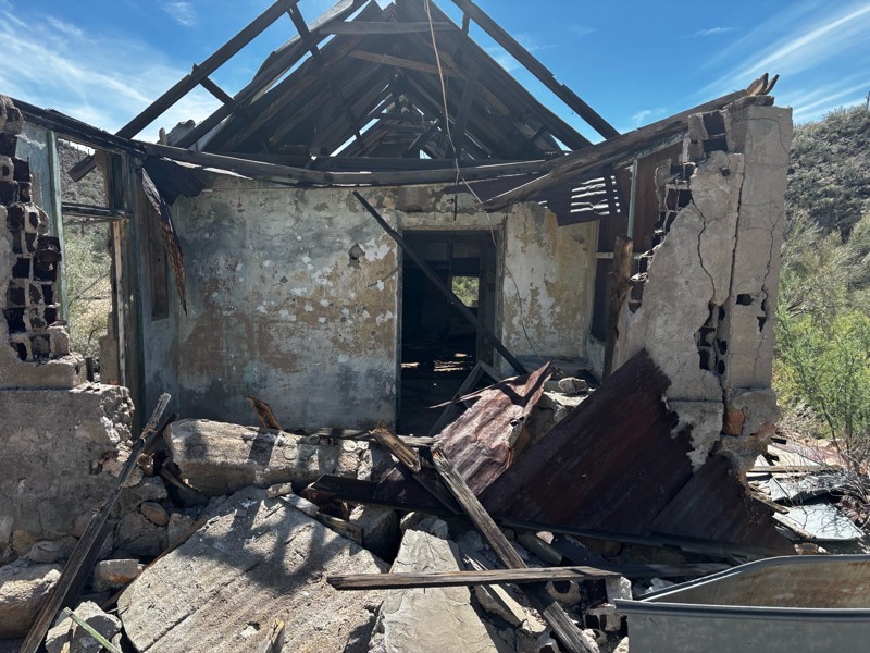
Gets a little technical at the end but the difficulty is spot on.

KR
Keith Ringiesen
No Rating
Open
Visited: 09/22/2026
The road was very smooth with the normal views running through the pines. Reminded us of many of the trails in the White Mountains.
T
Tom
No Rating
Open
Visited: 09/22/2026
Even with all of the recent rain, this trail was mostly dry ... a few ruts had water in them. Looks like there was a bad washout at the northern end of the trail on Apache Maid between waypoints 7 an...
T
Tom
No Rating
Open
Visited: 09/22/2026
Still an easy trail ... even after all of the rain.
T
Tom
Rated 4/5
Open
Visited: 09/22/2026
Hard pack, easy forest service road that is a great back way to the North Rim of the Grand Canyon.

Tyler D’Hulst
Rated 4/5
Open
Visited: 09/22/2026
Spring Canyon is a beautiful drive. We didn’t go out to the cabin but used this western section of road coming back from Crazy Jug

Tyler D’Hulst
Rated 4/5
Open
Visited: 09/22/2026
We took this out to Crazy Jug. The northern section is hard packed forest service road. Not difficult. Very scenic drive through the ponderosas.

Tyler D’Hulst
Rated 5/5
Open
Visited: 09/22/2026
View point is spectacular! Trail was easy going out, no obstacles at all. Saw a Toyota Camery at the viewpoint.


Tyler D’Hulst
Rated 3/5
Open
Visited: 09/22/2026
An alternative route out to Crazy Jug Point. It’s easy and can be scenic in areas. I’d recommend West Ryan out to Crazy Jug though.
Tyler D’Hulst
Rated 3/5
Open
Visited: 09/22/2026
A quick connector trail through the burn patch.
Tyler D’Hulst
Rated 4/5
Open
Visited: 09/20/2026
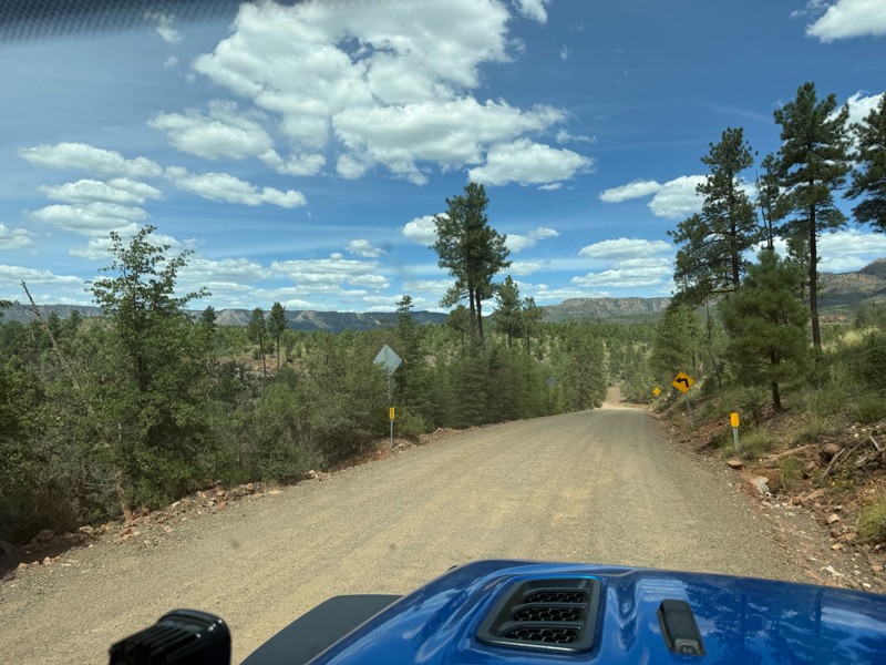
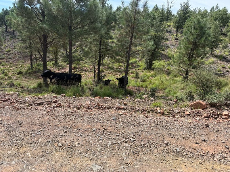
Trail was as described. Scenic but not particularly memorable. A few creek crossings would be fun if there had been recent rain. Easy drive in 2w the whole way. Be sure to pull off and check out wher...

Troy P
Rated 5/5
Open
Visited: 09/20/2026
Leviathan Mine trail is a full day trip. Though it is only 20 miles in length the travel is slow and rough. Majority of the trail you will be going between 5-10 MPH. Then once at the end it connects w...



Eric Gartin
Official Crew
Rated 5/5
Open
Visited: 09/19/2026
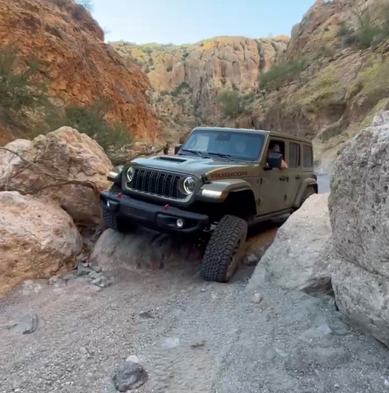
The harder obstacles aren’t that bad anymore. With the amount of sand and gravel that has washed into the canyon. The main constraint is the wedge between the 2 rocks; but I found it easy if you stick...
BC
Brian C
Rated 4/5
Open
Visited: 09/19/2026
Simple road, well graded today. Many mountain bikers coming down from the West out of Breezy Pines. Not too many people out until approaching Senator Hiway. We went East to West as I think thats a bet...



Jeff Burnett
Rated 3/5
Open
Visited: 09/19/2026
The trail itself is not spectacular, it's pretty flat across the plains. However, driving up to the overlook and seeing a huge gaping hole in the ground is a great juxtaposition to the flat trail. The...
Tyler D’Hulst
Rated 3/5
Open
Visited: 09/19/2026
A nice trail ride from the main road down off the plateau. It's graded forest service road until the switchbacks. The switchbacks themselves are not difficult, road is not graded. This section has bee...
Tyler D’Hulst
Rated 3/5
Open
Visited: 09/18/2026
The end of the trail is not well marked, and can cause confusion. Also, vehicle passes are required for all backcountry routes within the Lake Mead National Recreation Area.
Eric Gartin
Official Crew

Ted Whisler
No Rating
Open
Visited: 09/17/2026
Nice ride west side a little rocky but rating is true to #2


Ted Whisler
Rated 3/5
Open
Visited: 09/15/2026
A nice drop off the plateau heading towards Marble Canyon. Not a difficult road. Road is weathered but not challenging.
Tyler D’Hulst
No Rating
Temporary Closure
Visited: 09/15/2026
Road closed due to multiple washed out wash crossings after the turn off to go up the mountain. "Road Closed" sign put out by BLM on trail.
Tyler D’Hulst
No Rating
Temporary Closure
Visited: 09/15/2026
After the turn off to head up the mountain there are multiple washed out wash crossings. A "Road Closed" sign has been put out by the BLM.
Tyler D’Hulst

Ben Ruddell
Official Crew
Rated 4/5
Open
Visited: 09/14/2026
Bogles Ranch Road is a great Sunday afternoon drive type of dirt road that climbs up in elevation and gives some spectacular views of the surrounding area. The first half passes through State and Priv...


Eric Gartin
Official Crew
Ben Ruddell
Official Crew
Rated 3/5
Open
Visited: 09/14/2026
Antares Road is an excellent way to travel from Route 66 to the eastern portion of the Lake Mead National Recreation Area. This wide county road is well maintained with minor washboarding, most of whi...


Eric Gartin
Official Crew
Rated 3/5
Open
Visited: 09/14/2026
Hackberry road is a wide dirt road with minimal erosion damage and washboarding. There are a couple of larger washes that cross Hackberry road creating wide stretches of loose sand which can cause iss...


Eric Gartin
Official Crew
Rated 3/5
Open
Visited: 09/13/2026
This is a very rough, rocky, & slow going trail. Expect around 4+ hours for the trail & another hour to get the highway. One of those trails I'm happy I did but I wont be back personally. High clearan...

Brandon W
No Rating
Open
Visited: 09/12/2026
I think the rating is spot on. The ruts and washouts at the beginning are not as bad and if you hug the inside of the shelf road they can be avoided. The middle part is same general sandy wash with ov...



Greg Page
Rated 4/5
Open
Visited: 09/11/2026
Ran this trail as part of a larger loop. Trail is in great shape. Easy for standard 4x4 with no lift. Passengers can do it until maybe the very end by the lake where the road gets rocky and washed out...


Jeff Burnett
Rated 5/5
Open
Visited: 09/10/2026
This is one of my favorite scenic trails in the area. The trail is easy to travel, but does have some optional short trails that will test your vehicle. The views from the Grand Wash Cliffs of the Hua...


Eric Gartin
Official Crew
Rated 3/5
Open
Visited: 09/07/2026
This trail by itself is nothing special. It is mostly used as an access road to get to the more technical trail such as Homecourt, Twister, and Waynes World. This is a great trail for the beginner to ...


Eric Gartin
Official Crew
Rated 3/5
Open
Visited: 09/07/2026
This trail is an enjoyable alternate route when traveling on Blake Ranch Road (7163). The trail is easy with only a handful of spots with erosion damage. The few established camping sites appear to n...


Eric Gartin
Official Crew
Rated 5/5
Open
Visited: 09/07/2026
Ran this trail from Boynton Pass Road to Loy Butte Road (opposite direction from what is listed). Ran into a few rental ATVs and a couple of Jeeps heading the opposite way. This was a fun trail wit...



Daniel Macioce
Rated 5/5
Open
Visited: 09/07/2026
This trail was a lot of fun, plus the views were amazing. I ran the trail in the order posted, starting at the south trailhead and finishing at the heritage site. Past a motorcycle, a few jeeps and a...


Daniel Macioce
Rated 4/5
Open
Visited: 09/07/2026
Nice trail, ran West to East. For some reason the map shows this a a one-way trial, East to West. That is not the case, it is a two way trail. Was pretty washed out starting around mile 12. Plenty roc...


Jeff Burnett
No Rating
Open
Visited: 09/06/2026
New trail for me. You didn’t know what it would throw at you around every corner which is why you try to find new trails or old forgotten ones
KB
Kory Burden
Rated 5/5
Open
Visited: 09/06/2026
The trail is no joke—steep, narrow, and technical enough that you’ll want to be comfortable with off-camber shelf roads, rocky terrain, and washouts that will test your vehicles articulation. The rew...



Bobby Rumbaugh
Official Crew
Rated 5/5
Open
Visited: 09/06/2026
Fun trail if you don't want to do pyeatt draw itself. Ran this trail 3yrs ago and definitely a little more erosion but, still any truck or suv with good factory ground clearance can do it. From previo...
JM
James m
Rated 4/5
Open
Visited: 09/06/2026
Ran this trail from I-17 to Sedona. Extraordinary views descending into Sedona. As others have noted, there are lots of rock on the trail, making it slow going. Passed a large number of Pink Jeeps ...


Daniel Macioce
Rated 4/5
Open
Visited: 09/05/2026
This one definitely changed over the last few years. The southern section has some legit, steep, off-camber sections. YOU NEED experience, backup, and a capable vehicle on this one now. It's not supe...


.jpg)
Bobby Nelson
Official Crew
Rated 4/5
Open
Visited: 09/05/2026
Another amazing time on this scenic crossover. We came in from Walnut Canyon and finished out on Price Road after about 6 hours. A challenging and hot day for the old TJ. Rincon Road has evolved into ...


Bobby Nelson
Official Crew
Rated 4/5
Open
Visited: 09/05/2026
We started exactly at sunrise to try and beat the heat. We planned to crossover to Box Canyon and out on Price Road. It ended up taking us 6 hours, even with all the photos and filming we did. A chall...


Bobby Nelson
Official Crew
Rated 5/5
Open
Visited: 09/04/2026
We recently ran Four Peaks after the monsoon rains. Here’s what we found and what to expect if you’re planning to run it. Have a GR8 day!

Jeep 4 Dirt
Rated 5/5
Open
Visited: 09/04/2026
Breathtaking views. Definitely don't rush through the trail. Devil's staircase was a bit slippery but awesome. A few tight stops here and there, but a trail that's a must on anyone's to do list.



Christopher Bradley
Rated 4/5
Open
Visited: 08/30/2026
Id say this is a 3.5 to 4 trail. There are some obstacles, but nothing you really need to think hard about how to approach. If you send your vehicle at it in 4 low you'll get through everything.



Justin Holsinger
Rated 4/5
Open
Visited: 08/28/2026
Rim Road (FS300) West to East. Very well groomed gravel forest road. Accessible by just about any vehicle thats not been lowered. Who does that anyway? Scenic views the whole route. Hard to believe on...


Jeff Burnett
Rated 4/5
Open
Visited: 08/28/2026
Not a bad road but it was crowded with sxs and vehicles towing campers. Hard to rate 5 stars for a busy road. Super easy any vehicle can do this. Part is paved near the freeway but the rest is gravel.

Tony Rockwell
Rated 4/5
Open
Visited: 08/28/2026
I rated 4 stars just due to the volume of sxs & camper trailers on the road.
Easy drive, any car can do this.
Ran from sheep springs to munds park, see other reviews for full route.

Tony Rockwell
Most Popular

Updated: 03/09/2026
Rattlesnake Canyon
Mount Trumbull, Arizona
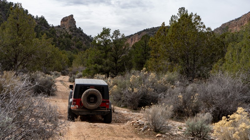
Rattlesnake Canyon offers a rewarding drive through the diverse landscapes of Grand Canyon-Parashant National Monument. The route begins in Hidden Canyon, passing through an area some maps label the Hidden Hills, before climbing onto the Shiwits Plateau. Along the way, the scenery transitions through layers of rock, pinyon pine, and sagebrush.
The road is generally non-technical, though a few sections will cycle your suspension and may require four-wheel drive and higher clearance. Camping opportunities are limited to a handful of pre-disturbed sites, but several flat areas could work in a pinch. One especially interesting stretch passes an old coral and Rattlesnake Spring, though the water here is not suitable for drinking.
This route is suitable for any high clearance vehicle equipped with 4 low.
Updated: 06/10/2026
Cohenour Loop
Bonelli Landing, Arizona
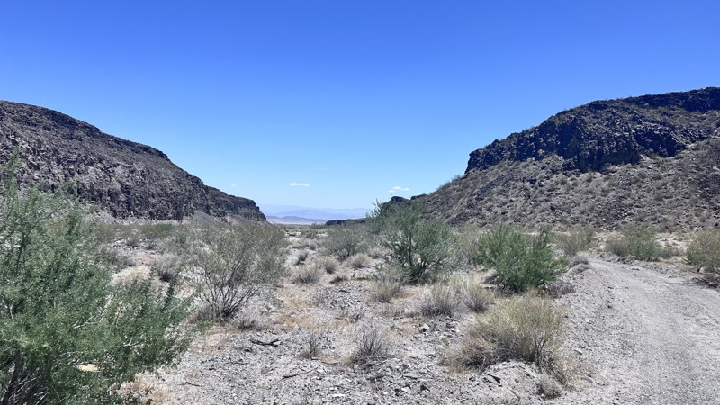
Cohenour Loop is a 17.5-mile loop trail that travels up Petroglyph Wash, then splits to form a loop. The rock art at the split in the trail is what gives Petroglyph Wash its name. Take time to make a quick stop here and explore the many etchings made in the volcanic rock to the left of the trail, before continuing on the trail. Turning right at the split will lead to the Cohenour mine, an old copper mine with spoil piles and diggings still visible. After the mine, you will crest a hill and descend before reaching the intersection of Gilbert Canyon Road. Turn left to continue on Cohenour Loop. Continue through the rocky landscape to the next intersection with Pope Mine Road, then turn straight onto Cohenour Loop. This section will pass through an open desert meadow prior to entering Petroglyph Wash to complete the loop. Cohenour Loop is a minimally maintained road and has minor erosion damage, but is easily passable by any high clearance 4WD vehicle.
Updated: 02/05/2026
2051
Hurricane, Arizona
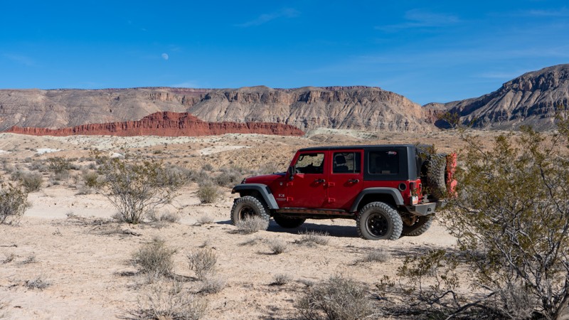
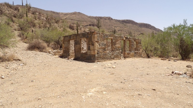
2051 is a short connector trail linking Warner Valley Road and BLM #1036. It serves as a convenient shortcut when traveling north–south on 1036 and needing to access Warner Valley.
The road is almost entirely hard-packed dirt, with a few ups and downs. It is suitable for any high-clearance vehicle. The route is scenic, and a small section passes through private land. There are no pre-disturbed campsites along its short distance.
Updated: 07/29/2026
Boulder Creek
Black Canyon City, Arizona
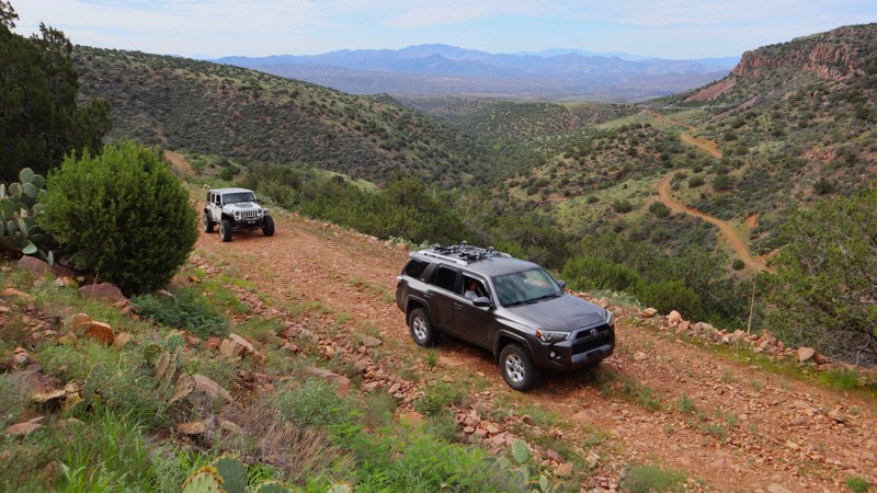
Boulder Creek Trail is a rugged, rewarding adventure through Arizona’s high desert. It quickly becomes very rocky, with bowling ball-sized rocks, and larger, dominating the path. The trail crosses the creek several times, winds through Saguaro cacti and Mesquite trees, and features tight brush that may leave pinstripes on your vehicle. Most of the year the creek is dry, but can fill up after a good monsoon rain. Make sure the water depth isn’t too high for your vehicle. At the end of the creek section, there’s one gate that needs to stay closed after passing through, and then you begin to climb the mountain. Soon, the trail becomes a shelf road, with exposure and great views.
Navigation is straightforward but demanding, with one washout toward the end that needs careful attention.
Overall, this trail suits experienced drivers with high-clearance vehicles. It’s slow-going due to the rocks and crossings, but the seclusion and desert scenery make it worthwhile.
Camping is available at the beginning and the end of the trail.
Updated: 06/04/2026
Sunset Crater Pit
Timberline-Fernwood, Arizona
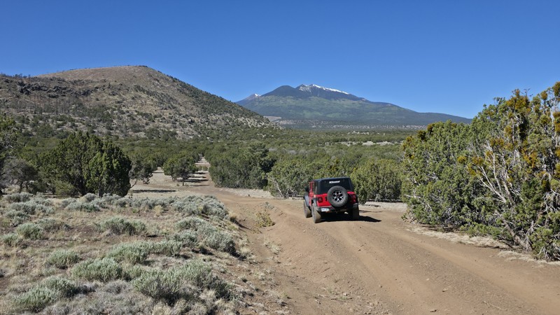
Sunset Crater Pit, FS 545B, is a straight-through forest road that parallels Highway 89 just outside Sunset Crater Volcano National Monument. Popular with campers and overlanders, the route follows a hard-packed dirt surface scattered with small volcanic rock and offers numerous dispersed campsites with outstanding views of O'Leary Peak, Robinson Mountain, and Humphreys Peak. The southern half of the trail is generally smoother and more shaded, with several larger campsites suitable for travel trailers, RVs, and extended camp setups. Conditions become rougher on the northern half, where a 2022 wildfire removed much of the vegetation and left the area more susceptible to erosion. Here, drivers can expect sections of exposed volcanic rock up to 8–10 inches in size and washout ruts reaching 10–16 inches deep. While the route remains manageable for most high-clearance vehicles in dry conditions, the roughest campsites and obstacles may challenge lower-clearance SUVs. Campsites in the burn area are large and open but offer little protection from wind, dust, or sun. Whether you're looking for a quick overnight stop or a basecamp for exploring the Sunset Crater region, this trail provides easy access to scenic high-desert camping with mountain views in every direction.
Updated: 07/30/2026
Crested Saguaro
Black Canyon City, Arizona
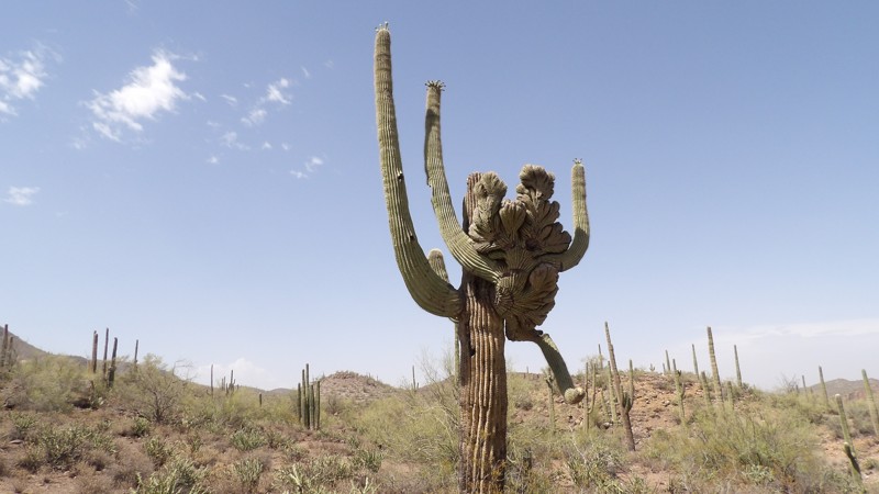
This trail is a challenging Arizona desert 4x4 route featuring softball to bowling ball-sized rocks that test tire grip and suspension, along with rocky ledges, steep hills, and descents requiring good ground clearance, low-range gearing, and solid driving skills. The rugged path winds through scenic Sonoran Desert terrain dotted with iconic Saguaro cacti, mesquite, and palo verde trees.
The trail concludes with a crossing of the Agua Fria River, so always check water levels beforehand—flows can rise quickly and become hazardous or impassable after rain.
No campsites were located.
Updated: 08/27/2026
Rock House
Willow, Arizona
Traveling 39 miles from the desert to the pines, Rock House is the longest and most remote stretch along the Tonto Discovery Trail. Open year-round and ideal for stock-type 4x4s, the trail makes for a wonderful day run or a memorable part of your overland adventure around the Tonto National Forest. The southern portion, beginning along Cherry Creek, is in the prickly desert and is a semi-graded road with long, loose hills winding into the pinyon pines above 6000'. The northern portion is within the pines, beginning along Young Highway, with cooler temperatures.
The moderate rating is because the trail is remote, has miles of exposed ledges, and loose hill climbs with small rock steps requiring off-road tires, high clearance, and low range. The entire route can be completed in 4-5 hours, but the camping along the route begs you to stick around a little longer. There are 6-8 wonderful campsites at various elevations along the trail. A couple of the campsites have room for a small overland group of 3-4 vehicles with tents.
Tonto Discovery Trail is a 500-plus-mile OHV route that spans all regions of the Tonto National Forest.
Note: Cherry Creek is partially closed. The closure does not affect access to FR 202, Rock House.
Updated: 10/15/2024
4352C
Franconia, Arizona
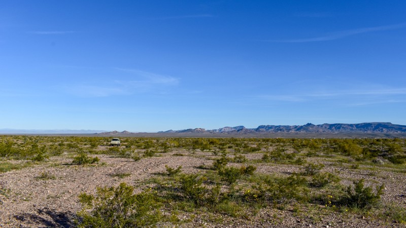
4352C is a short spur trail that leaves one wondering why it was cut in the first place. Unlike the surrounding trails that lead to mines, prospects, and wells, 4352C offers a more subdued off-road experience. It's a trail that is probably best left for nature to reclaim but still provides a scenic drive above a small wash. The most interesting part of this trail is an X formed with bull quartz that a previous explorer left behind at the end of the trail. 4352C may not be the most thrilling off-road trail in the area, but it still offers a chance to escape into nature and enjoy a pretty drive.
Updated: 06/10/2026
Hualapai Wash
Meadview, Arizona
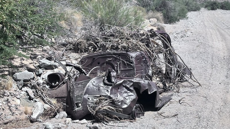
Hualapai Wash Road is a 16-mile out-and-back trail that follows the Hualapai Wash down to the Hualapai Bay on Lake Mead. This scenic trail travels along the sandy wash, passing through desert flora such as creosote bushes and white bursage. The trail is shallow, loose sand with a few small rocks to negotiate. The bay at the end of this trail is a beautiful area to relax or stop for lunch. Primitive camping is allowed in Hualapai Bay.
Updated: 06/10/2026
O'Leary Peak Loop
Timberline-Fernwood, Arizona
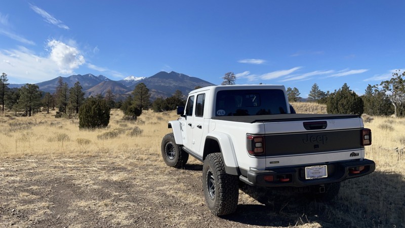
FR 546 is a scenic ten-mile cinder two-track loop around O'Leary Peak starting at the Sunset Crater National Monument and ending back at US-89. This is a great trail to take if you're already planning to visit Sunset Crater (and you should!) or if you're going to hike in the Strawberry Crater Wilderness to the east. There is a lot of open space and high-quality dispersed camping along spurs off FR546. Views range from decent to excellent as the mountainous heights of the San Francisco Peaks to the west drop quickly down into the Painted Desert canyons of the Hopi and Navajo Nations to the east, with O'Leary Peak and Sunset Crater thrown in for good measure. You'll find several roadside campsites along the road as well, and they'll usually be vacant because this part of Flagstaff gets little traffic. The closed roads on the north slopes of O'Leary Peak are excellent for mountain biking, hiking, and backpacking, with no cars, great views, and your choice of elevation gain.
Updated: 01/05/2026
Sunshine Trail Road
St. George, Arizona
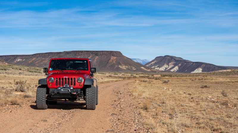
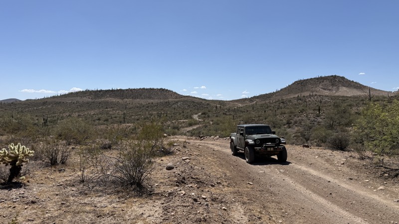
Sunshine Trail Road runs north-south through a good chunk of the famed Arizona Strip. It is marked as BLM 1035, which starts near St. George, but this guide only includes the portion that begins at the Sunshine Loop trail guide and runs south all the way to Navajo Trail (County Road 30). The surface is dirt with protruding rocks. There are no technical obstacles, but it may become impassable when wet due to the presence of mud. Free-range cattle will be prevalent depending on the time of year.
Once over Joe Blake Hill, the road will continue south, splitting what is known as the West Mesa and East Mesa before giving way to impressive views of the Hurricane Cliffs off the east.
While there are plenty of flat playas to camp on, pre-disturbed sites are scarce.
Updated: 06/10/2026
I-17 Access Trail
New River, Arizona
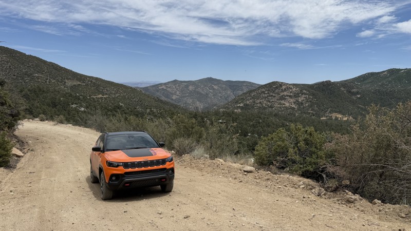
I-17 Access Trail winds through the scenic Sonoran Desert on a mostly dirt surface with occasional softball-sized rocks that add a bit of technical driving without being overly difficult. A stock 4x4 can comfortably complete the route under normal conditions. The trail provides access to Interstate 17 and ends at a ranch gate that must be left as you found it, so please close the gate behind you to help protect grazing areas and maintain access for future travelers.
An Arizona State Trust Land Recreation Permit is required.
Updated: 06/10/2026
Old Towers Mountain Road
Crown King, Arizona
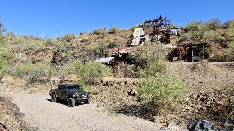
Towers Mountain, located in the Bradshaw Mountains just northwest of Crown King, gets its name from the historic fire lookout tower built at its summit. The 7,590-foot peak features a rich history of the 1860s gold rush and a century of active wildfire monitoring.
Unfortunately, as of April 2025, the tower is no longer accessible. If you connect Old Towers Mountain Road to Gladiator Mine Road, you will get a nice tour of the mountain and see great views to the north and south. This route travels through residential areas, so please be courteous and keep dust to a minimum.
The road has a few mild washouts, scattered baseball-sized to softball-sized rocks, many twists and turns, a few steep hills, and tight switchbacks.
No camping is available.
Updated: 08/11/2026
Anderson Mill
Morristown, Arizona
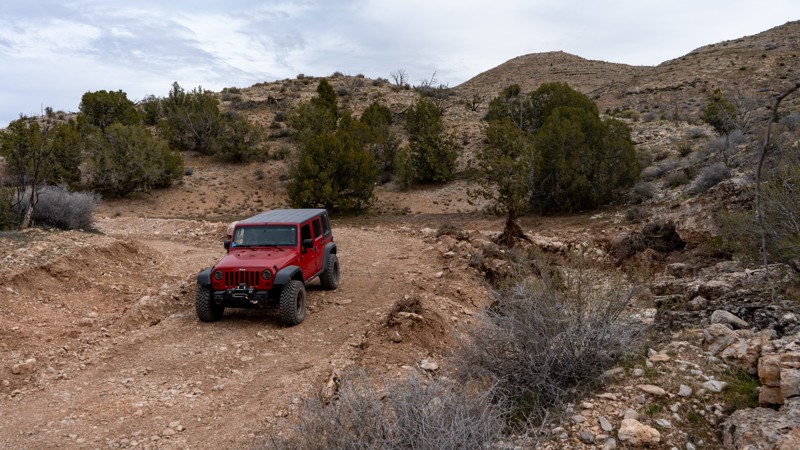
Nestled deep in the desert landscape, the Anderson Mill trail begins as an easygoing, smooth dirt road before transitioning into a scenic and smooth desert wash. As you navigate the route, the trail is richly framed by classic Sonoran Desert flora, featuring towering saguaro cactus, resilient palo verde trees, prickly cholla, sturdy creosote bushes, and vibrant ocotillo. Along the way, keen-eyed drivers will likely spot plenty of local wildlife, including an abundance of quail darting through the brush.
Past the historic remnants of the mill, the trail adds a touch of excitement with a single small-step obstacle to test your vehicle's clearance. This manageable challenge adds just the right amount of off-road engagement without sacrificing the overall cruiser-friendly nature of the drive. Combining fascinating local history, diverse desert scenery, and lively wildlife encounters, Anderson Mill offers a thoroughly rewarding getaway for off-roaders looking to soak up the desert's natural beauty.
Please use extreme caution if you decide to explore the site, as the structure is very old and rusty. On the north side of the mill, you will find a parking area with a fire ring for camping. Any stock, high clearance vehicle can enjoy this trail, but keep in mind it’s a sandy wash, and there's always the possibility of getting stuck. 4x4 is recommended. If you don't want to do any trails that are more difficult, turn around and follow the map back to the beginning. All other trails beyond this route are rated moderate or difficult.
Updated: 03/09/2026
St. George Canyon
Scenic, Arizona
St. George Canyon is one of the main roads used to drive deep into the Grand Canyon-Parashant National Monument. Starting from the north, it passes abandoned ranch operations before dropping into the canyon. Recent repair work has been done to fix apparent flash flood damage. Inside the canyon, the views are minimal with no camping.
Anticipate the road changing drastically after rain events; it is best to avoid this road altogether during a hard rain. Suitable for any high-clearance SUV or truck with 4-low gearing.
Updated: 06/10/2026
Gregg's Hideout
Cyclopic, Arizona
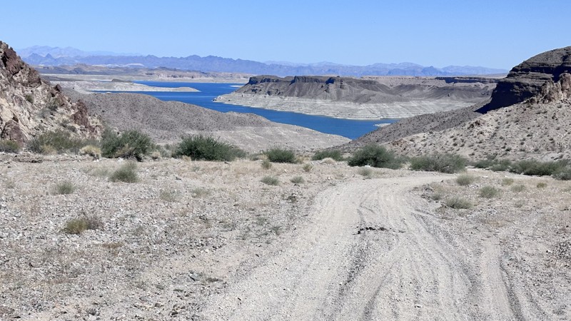
Gregg's Hideout Road is a 37-mile out-and-back trail that travels from Pierce Ferry Road to the Gregg's Hideout on Lake Mead. Before Lake Mead was created, this was the location of Mike Scanlon's ferry from 1881 to the early 1900s. This ferry service aided prospectors and early settlers of the area. In 1891, Tom Gregg took over the ferry service and renamed it Gregg's Ferry until the creation of Lake Mead. There is a rumor that Tom was hiding from the law, which is why the place is called Gregg's Hideout. The trail is a combination of dirt and sand. The first section is a well-maintained county road. After entering the Lake Mead National Recreation Area, the road begins to deteriorate, with erosion damage along the edges of the trail. The last portion of the trail is loose sand. Gregg's Hideout Road provides great views of the high desert, with scattered creosote bush, joshua trees, and buckhorn cholla.
Updated: 06/10/2026
Windmill Trail
New River, Arizona
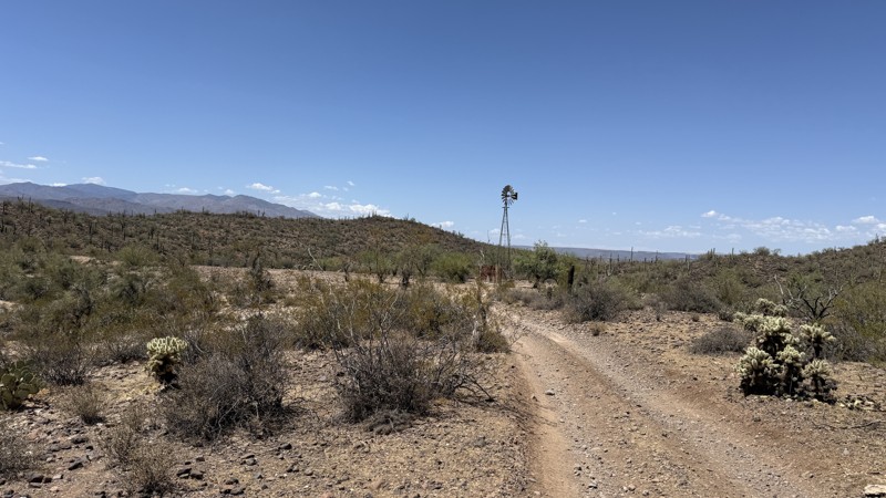
Windmill Trail winds through the rugged beauty of the Sonoran Desert on a mostly dirt surface with occasional softball-sized rocks and a few shallow ruts that may require careful tire placement. A stock 4x4 vehicle can complete the trail easily under normal conditions. Along the route sits an old windmill that once pumped water for cattle, a reminder of the area’s ranching history and the importance of scarce desert water sources. Please note that camping is prohibited within one-quarter mile of any water source, to help protect wildlife and to preserve access for livestock in this fragile desert environment.
Updated: 06/10/2026
Gladiator Mine Road
Crown King, Arizona
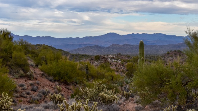
Gladiator Mine Road in Crown King, Arizona, traces its roots back to the late 19th-century mining boom in the Bradshaw Mountains. Named after the area's prominent copper, gold, and silver operation, the road follows the historic, rugged paths carved out by early prospectors. Today, it's mostly used by owners of private property, homes, and cabins.
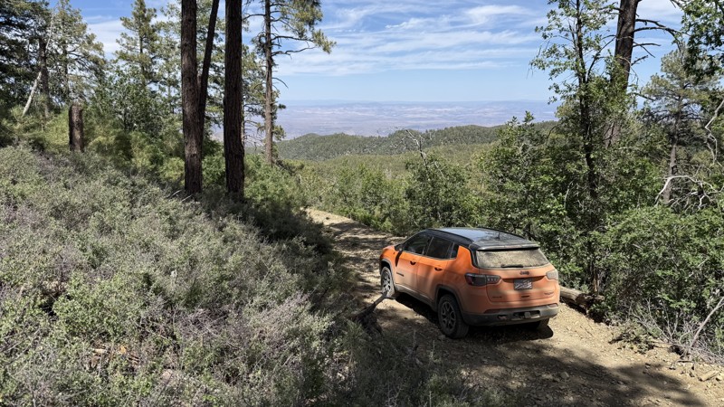
Tight and twisty at the summit, the trail widens into a gravel road as you head down. Watch out for the many switchbacks along the way. Please be courteous and keep dust to a minimum as you will be driving through residential areas. Connecting this trail to Towers Mountain Road makes a nice loop around the mountain above Crown King.
No camping is available, and seasonal snow can close the road temporarily.
Updated: 01/06/2026
7463 and 7465
Signal, Arizona
Connecting Rockhouse Cabin and McCracken Mine Road, this old mining trail connects both destinations without the need to backtrack the entirety of either of those trails. This is a 1.25-mile-long, straight-through trail on hard-pack and solid rock surfaces. The entire trail winds along the mountain's profile and is a single lane with occasional turnoffs crossing many drainage planes/ dips. There is decent rutting and several loose washes to navigate through, but no major obstacles. Mild vegetation overgrowth may cause pinstriping on longer or wider vehicles. This trail is suitable for drivers with medium experience and a four-wheel drive with higher than stock ground clearance due to the rutted off-camber bench portion of the road.
Updated: 05/01/2026
Upper Burnt Corral Mesa
Roosevelt, Arizona
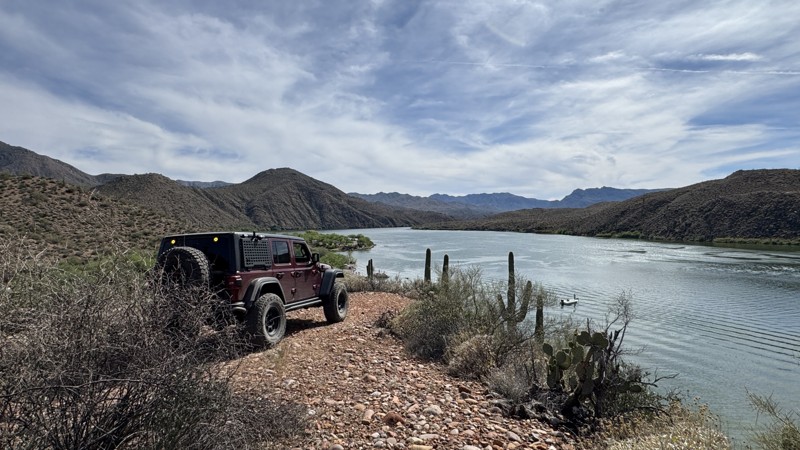
If you’re looking to camp near the Burnt Corral area but want to avoid the crowds, this is the spot. A slightly more challenging approach keeps most RVs away, offering a quieter experience.
Several larger campsites can accommodate 3–4 rigs each, all perched above Apache Lake with outstanding views. While there’s no direct water access from this trail, the scenery more than makes up for it.
The trail and campsites are mostly hard-packed dirt with some rocks, but overall remain relatively flat and easy to navigate.
Updated: 05/01/2026
Reavis Ranch Trailhead
Superstition Mountains, Arizona
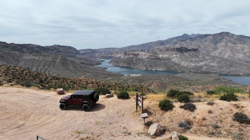
This is a scenic drive to the Reavis Ranch Hiking Trailhead, making it an easy access point for one of the more iconic hikes in the region. The route is predominantly hard-packed dirt and relatively smooth.
As the trail gradually climbs, it winds through gentle curves along a moderate shelf road. While the surface remains manageable for most vehicles, drivers should stay alert for blind corners and limited visibility in sections along the hillside. Oncoming traffic is possible, so caution and controlled speeds are recommended for safety.
At the top, you’ll find a parking area with space for approximately 8–10 vehicles. The end of the trail itself is a highlight—offering sweeping, elevated views of Apache Lake that rank among the best vantage points in the area.
There are no suitable or designated camping areas along this trail.
Updated: 06/26/2026
Backway to Rock Springs
Black Canyon City, Arizona
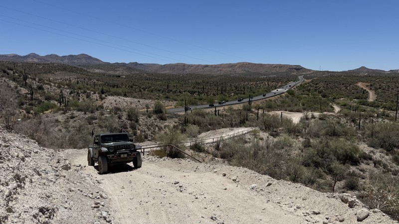
The trail travels through the heart of the beautiful Sonoran Desert, surrounded by towering Saguaro Cactus and classic desert scenery. It features numerous tight twists and turns that wind through washes and hillsides, keeping drivers engaged as they navigate the rugged terrain. Expect a series of steep climbs and descents that add both challenge and excitement while providing excellent views of the surrounding desert landscape.
Serving as a scenic backway to Rock Springs, the route includes a detour designed to avoid private property, so it is important to stay on the established trail. Drivers should remain alert for oncoming traffic, especially around blind corners and narrow sections. Fortunately, there are plenty of pull-offs along the route, making it easy to yield and allow other vehicles to pass safely. The combination of desert beauty, rolling terrain, and remote backcountry travel makes this trail a rewarding adventure for off-road enthusiasts.
Updated: 04/22/2026
Jump Canyon
Scenic, Arizona
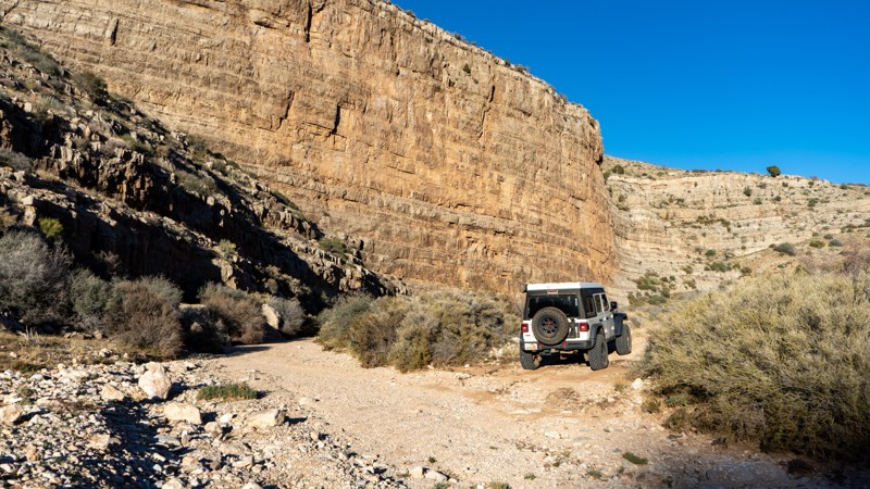
You can drive this route in either direction and will be treated to a variety of geological wonders. Jump Canyon lies within a zone where the Muddy Creek Formation is prominently exposed. This formation is made of soft, poorly cemented volcanic sediments that erode into alcoves, caves, and distinctive honeycomb patterns known as tafoni. Along the way, several springs appear, historically used by ranchers for watering cattle. These springs also support noticeably greener vegetation compared to the surrounding landscape.
The road crosses several washes, and while these crossings require high clearance and Four Wheel Drive, the route is generally non-technical. Clearance is the primary concern, and it's the wash crossings that make the trail a mild to moderate. Camping is available in a few locations, typically near corrals or water tanks.
Historic Sidebar: The Abandoned Water Truck
Along this route sits an old yellow water truck, slowly returning to the landscape after decades of exposure. The vehicle is a mid-1950s GMC medium-duty tanker, likely used by ranchers or road crews who worked the Arizona Strip during the height of its cattle-grazing era. These trucks hauled water to remote corrals, filled stock tanks, and occasionally served as ad-hoc fire suppression rigs in an area where natural springs were scarce.
The tires and body tell the story of how long it has been here. The bias-ply tires predate modern DOT markings, placing their manufacture in the 1950s or 1960s, and the heavy weathering suggests the truck was abandoned sometime between the late 1960s and early 1980s. Since then, sun, frost, and sand have slowly stripped away the paint, leaving bullet-pocked steel and rusted fittings behind.
Although no written record survives of who last operated it, this water tender stands as a reminder of the practical challenges of ranching in the Strip’s remote canyon country. In a region where every drop mattered, trucks like this kept cattle and cowboys supplied long before modern wells and pipelines reached the area.
Updated: 06/18/2026
Chalk Hill Trail
New River, Arizona
As an extension of El Paso Gas Pipeline Road, Chalk Hill Trail offers a noticeably more demanding adventure, featuring larger obstacles, off-camber sections, and terrain that requires careful tire placement and driver focus.
The trail's most notable challenge is Chalk Hill, a technical obstacle that tests both vehicle capability and driver skill. A bypass route is available, and anyone wanting to attempt the obstacle should avoid doing so alone. The risk of a rollover is real.
The trail rewards those willing to take on its challenges with expansive desert views and a true sense of backcountry exploration. However, the terrain demands constant attention. Steep climbs, moderate ledges, and rocks ranging from baseball-sized to bowling-ball-sized create a relentless and engaging drive from start to finish.
A scenic campsite, overlooking a rock quarry, provides a place to stop and take in the surroundings before continuing on. The trail concludes with a steep, rocky descent, and then a steep ascent that connects to Table Mesa Road. Drivers should remain alert for cross traffic as they re-enter the more traveled route.

Upgrade your Membership
Unlock all of the details on every Trail Guide and Scout Route.
Start a 7-day Free TrialBrowse Trails in Arizona by City
Browse every Arizona city with offroad trail guides.
Community
Partners

