


By clicking "ACCEPT", you agree to be the terms and conditions of each policy linked to above. You also agree to the storing of cookies on your device to facilitate the operation and functionality of our site, enhance and customize your user experience, and to analyze how our site is used.
Washington Off-Road Trails
187
Total Trail Guides 183

1735
Detailed Waypoints 156
Try a Free 7-Day Trial and unlock it all
Start a Free Trial Most Recent Trail Reviews
Rated 5/5
Open
Visited: 09/20/2026
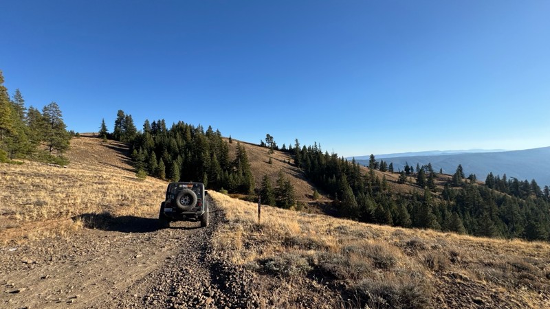
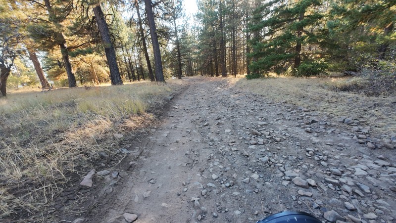
Traveled down from NS1712. The NS1711 is steep and loose gravel into the lower section along the hill side where the road surface becomes more level with gravel surface. Fantastic views from the top ...


John Kapelski
Official Crew
No Rating
Open
Visited: 09/19/2026
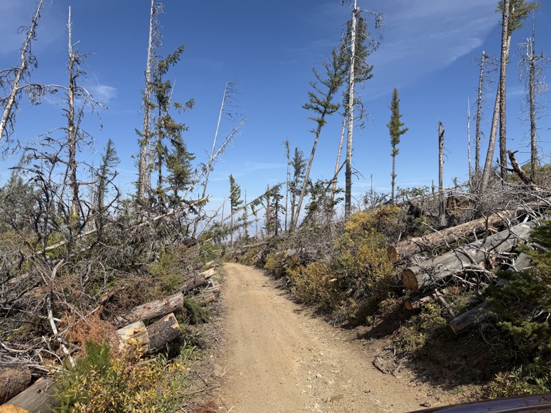
I drove this trail from the Wenatchee side all the way to Table Mountain Road in a Wrangler Rubicon. The Mission Ridge area had a couple of deep washouts on a narrow section of the road that were slo...
TS
Tom Stephens
Rated 4/5
Open
Visited: 09/13/2026
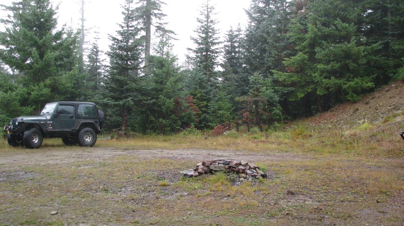
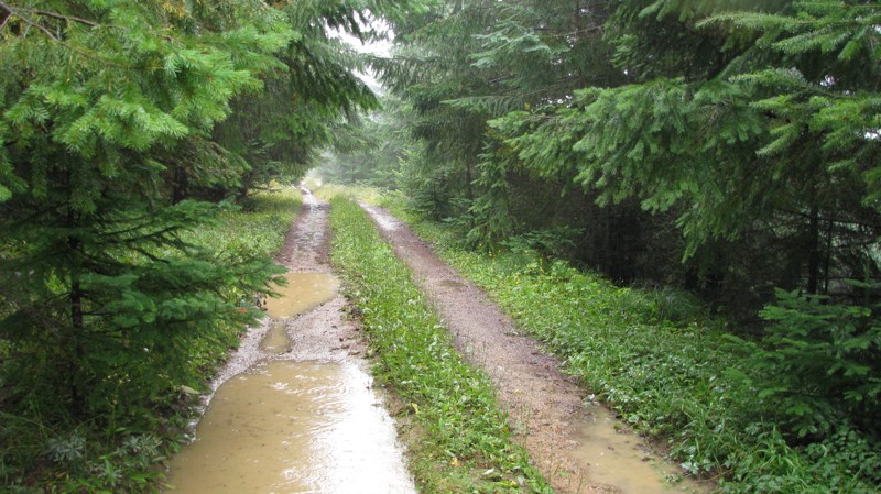
Easy hill climb to three very nice camp sites. Enclosed tree branches will provide compilatory light pinstriping and a mirror adjustment. First camp provides the most room for a group. Small trailer f...
John Kapelski
Official Crew
Rated 4/5
Open
Visited: 09/13/2026
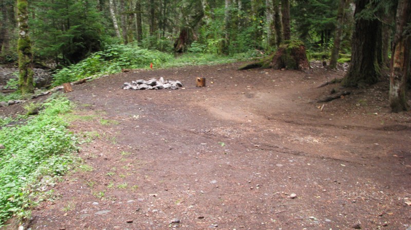
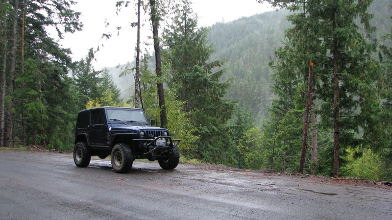
Short and sweet, Midnight Creek is an enjoyable drive through the forest at lower elevations. A dense canopy provides plenty of cool shade while the lush vegetation and abundant mountain runoff showca...
John Kapelski
Official Crew
Rated 5/5
Open
Visited: 09/13/2026
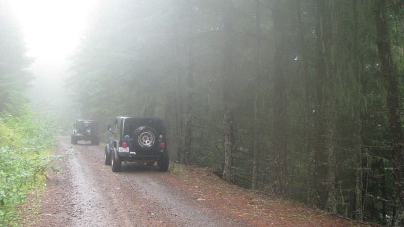
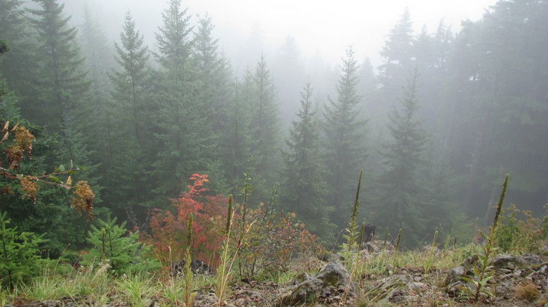
What a gem of a road! Even beneath the clouds, the route offers beautiful scenery, with early fall colors beginning to emerge and mist drifting through the surrounding mountains and forest of moss cov...
John Kapelski
Official Crew
Rated 1/5
Open
Visited: 09/13/2026
Total snooze fest. The most interesting part of the trail was when I ensured the gun was loaded driving past some local tweakers. Nothing to see here, much like the rest of the BOH trails in the PNW.

Francis whitney
Rated 3/5
Open
Visited: 09/09/2026
Beach access is easy and just about any vehicle can drive on the hard packed sand. A very important part that is not mentioned on the trail description is that driving on beach dunes is prohibited. Al...
Bill
Rated 5/5
Open
Visited: 09/07/2026
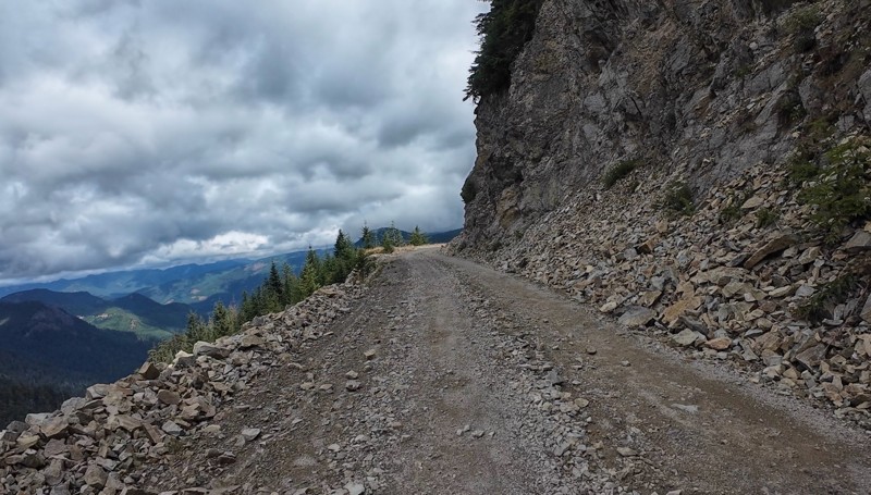
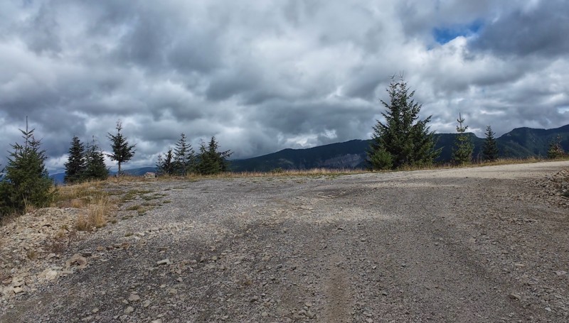
Very cool trail with multiple large campsites along the creek’s at the lower sections. Generally easy road surface with washboard areas.
John Kapelski
Official Crew
Rated 5/5
Open
Visited: 09/07/2026
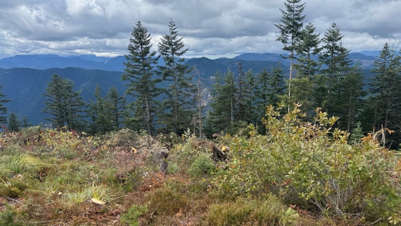
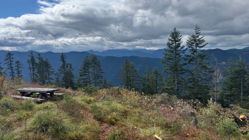
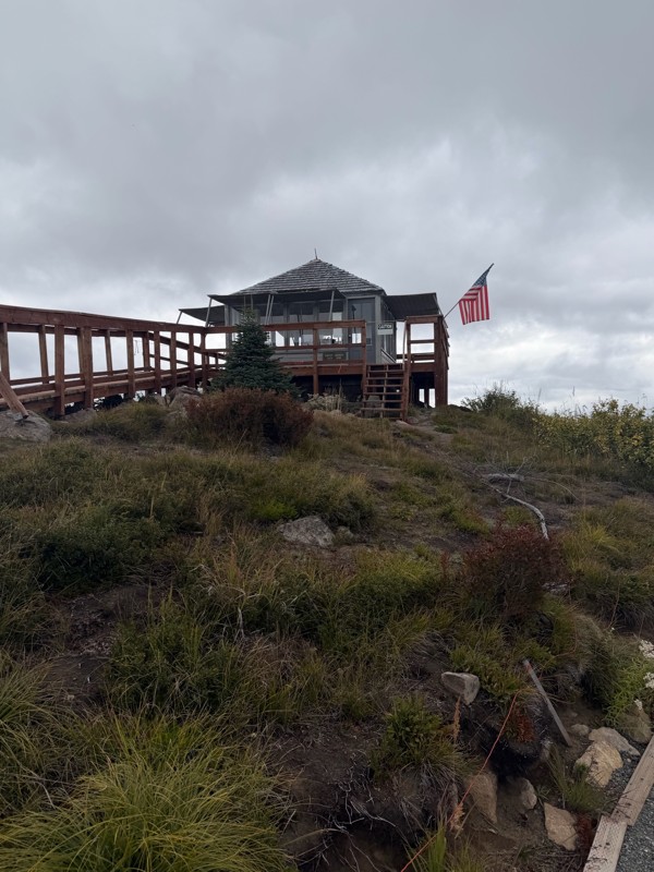
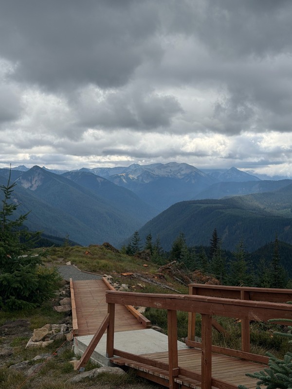
Road is easy and steep. Nice views thought the trees on the way up. Fabulous 360 degree views from the top. Cloudy days was not disappointing!
John Kapelski
Official Crew
No Rating
Open
Visited: 09/05/2026
Difficult rating was spot on. Did the whole trail in 2 wheel drive. Grate views at the top
Austin Kapelski
Rated 4/5
Open
Visited: 09/05/2026
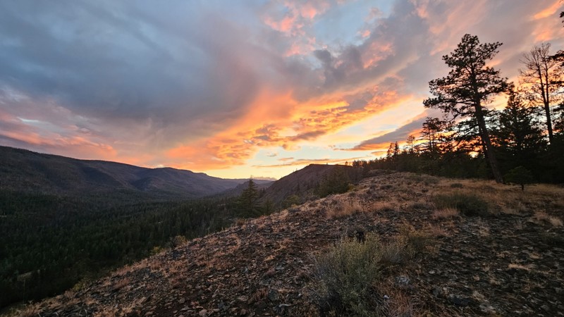
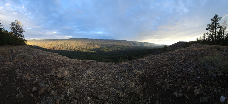
Nice quick camping trip, the campsite at the end of the road is still gorgeous, and sunsets are still pretty. the walk up to the actual devil's table is about a mile one way and 400' up, but nice view...

Ryan Wallace
Official Crew
No Rating
Seasonal Closure
Visited: 09/01/2026
According to this trails management agency, the trail is likely closed for the season.
You can reach out to the agency for more details.
Be sure to leave us a report and let us know ...

Trails Offroad
Official Crew
Rated 5/5
Open
Visited: 08/29/2026
Fun track with two people who have done this before and two, who haven't, a couple of nice waterfalls, and a good mix for everyone.
TW
Timothy Watson
No Rating
Partially Open
Visited: 08/29/2026
Tried access from North Wenas Highway at waypoint 8. Gate was posted with No Public Access. I would imagine waypoint 7 is the same as it appears to be private land???? Was not able to find access to w...
John Kapelski
Official Crew
Rated 5/5
Open
Visited: 08/28/2026
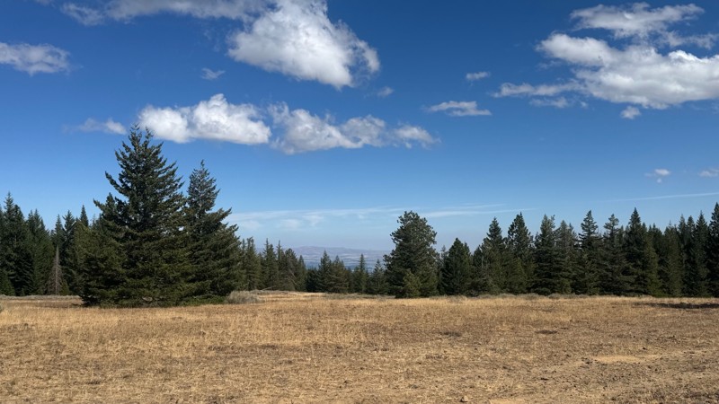
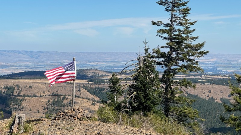
Continued from Rocky Flat,FS1701, down to Manastash Road. About 80% of the trail is down hill and never disappoints on the fun scale. More challenging that the 1701 and great views of the South Fork M...
John Kapelski
Official Crew
No Rating
Open
Visited: 08/28/2026
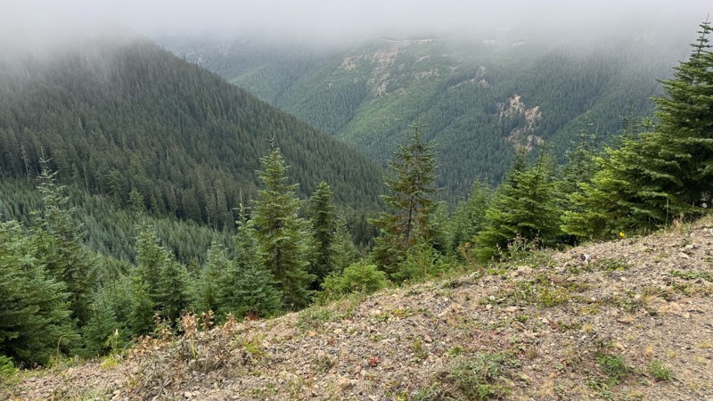
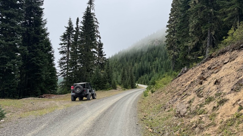
A great alternative to the Pyramid Pass route. Great camping looking over to Naches Trail
John Kapelski
Official Crew
Rated 5/5
Open
Visited: 08/28/2026
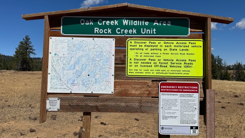
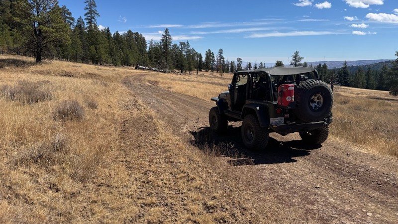
Nice dive up to waypoint 6 at five corners. Not as smooth as the initial incline but very scenic with great views to the west and east.
John Kapelski
Official Crew
No Rating
Open
Visited: 08/28/2026
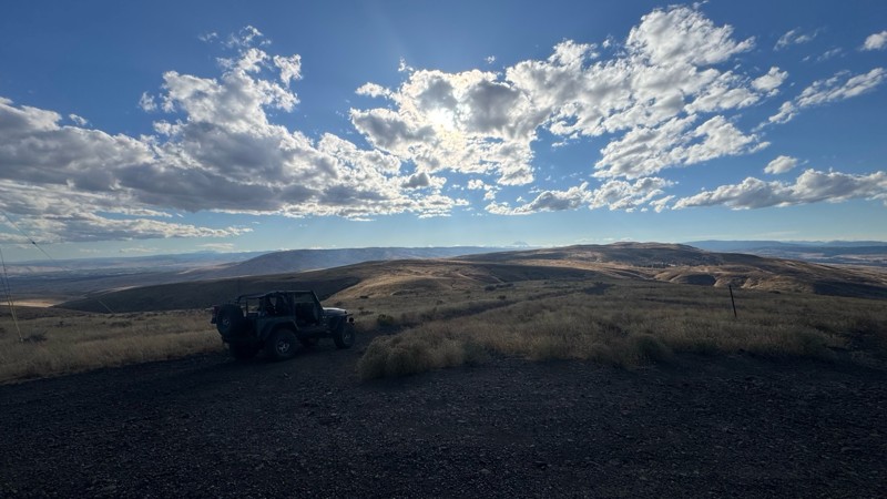
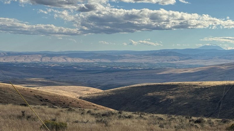
Connection area to Durr Rd and Old Durr Rd along with other trails is a bit confusing as there are “short cuts” to the same road. Umtanum Ridge is ruff. The high point is next to the towers with fant...
John Kapelski
Official Crew
No Rating
Open
Visited: 08/28/2026
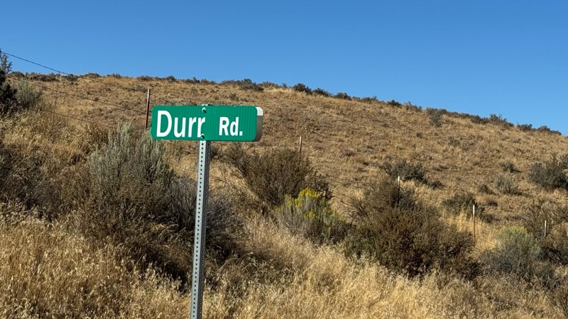
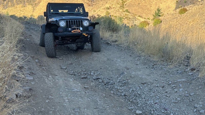
I drive this in the reverse direction of publish. Started out wide and smooth gravel surface than turned into a ruff narrow shelf road with limited places to pass. Best camping was at waypoint 3 by th...
John Kapelski
Official Crew
Rated 4/5
Open
Visited: 08/28/2026
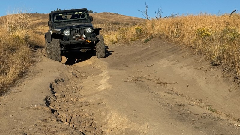
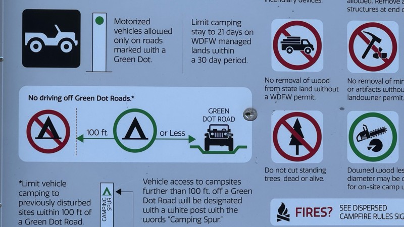
Waypoint 4-5 has changed due to water run off by exposing more rock face and creating deep ruts.
Large flat campsite next to waypoint 4, go straight before making the turn. It is the only site that ...
John Kapelski
Official Crew
Rated 4/5
Open
Visited: 08/28/2026
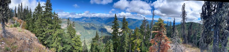
Incredible view on top! Unfortunately saw a group packing up camp on our way up and on our return down they had left lots of trash and a fire still burning during extreme fire danger and burn ban! We ...
J
Jason
Rated 4/5
Open
Visited: 08/20/2026
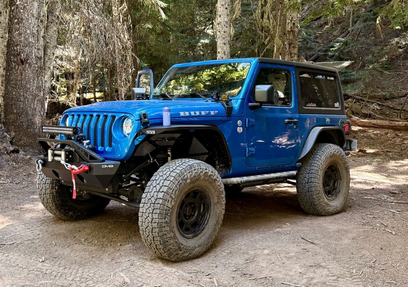
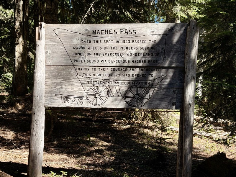
The trail is in great shape minus the section where the bridge is down. Ran into 1 other vehicle a SxS going east we were headed west. At the PCT cabin we talked to 4 through hikers refueling themselv...
CD
Carl Duester
No Rating
Open
Visited: 08/20/2026
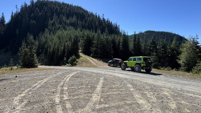
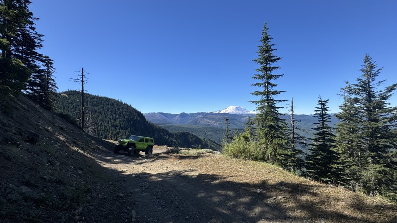
This road system offers continuous views of Mount Rainier to the south while climbing toward the rugged peaks of the northern Cascade Range. This short, enjoyable trail is well worth the few extra mi...
John Kapelski
Official Crew
Rated 3/5
Open
Visited: 08/17/2026
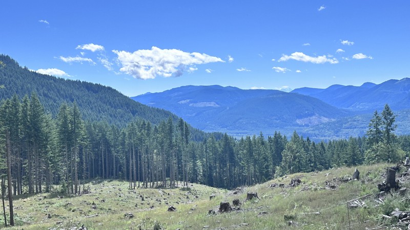
5 Road is exactly that a dirt road. Any 2WD vehicle can easily negotiate this trail. This trail is trailer friendly, but some of the tight turns are not suitable for longer trailers/campers. There are...

Eric Gartin
Official Crew
Rated 5/5
Open
Visited: 08/16/2026
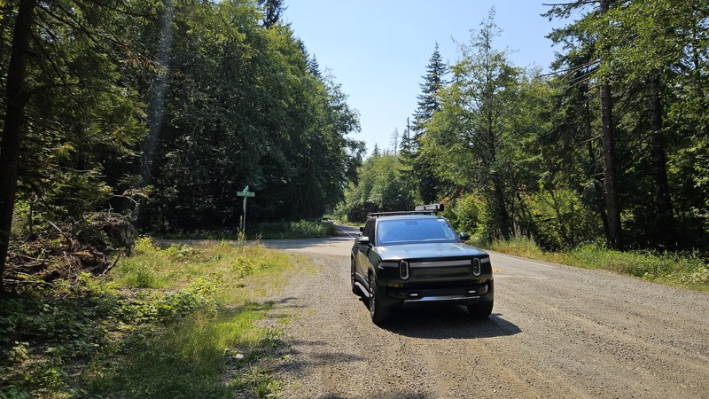
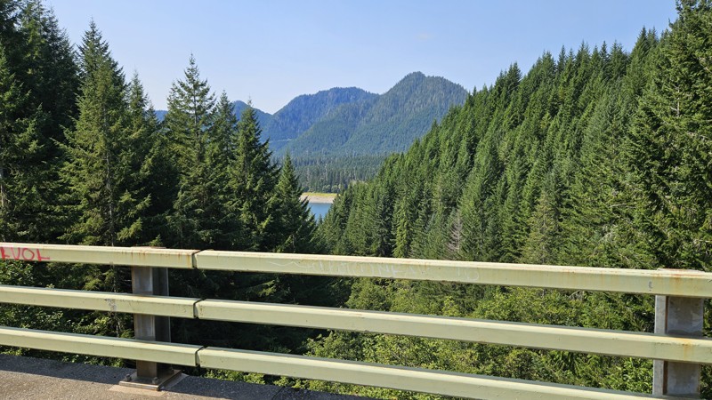
Our trip around the Wynoochee Loop was a mix of incredible scenery and some pretty technical driving. Traveling counterclockwise, we really felt the challenge starting on the final climb to the peak. ...
Ryan Wallace
Official Crew
Rated 5/5
Open
Visited: 08/15/2026
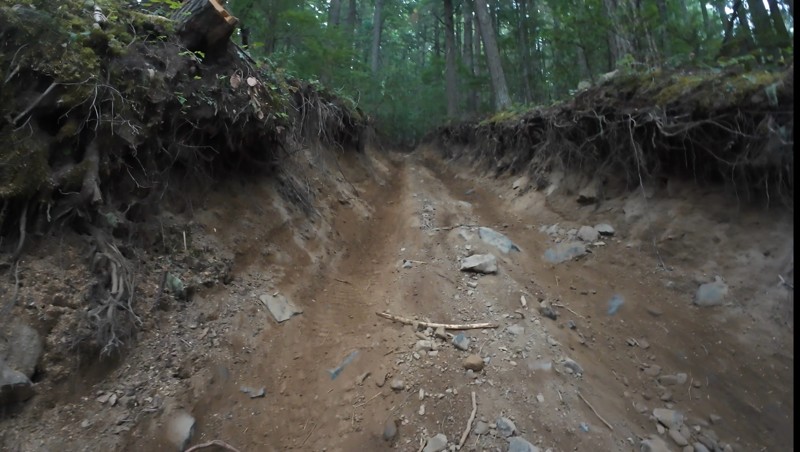
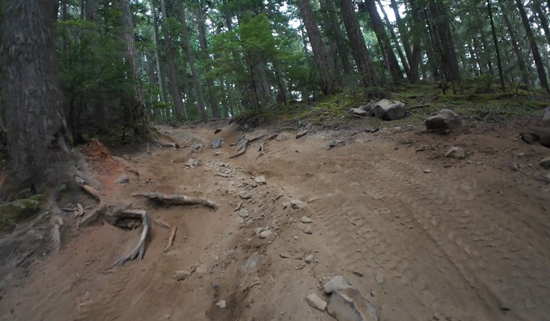
Wonderful day!!!!! Meet a two fellas doing their first trail ever. Shame on me for getting more photos. They had a BLAST!!!!! Hope to see them again.
John Kapelski
Official Crew
No Rating
Open
Visited: 08/11/2026
Per the MVUM, the trail is seasonally open. As always, check current fire restrictions/closures before venturing out.
Trails Offroad
Official Crew
No Rating
Open
Visited: 08/11/2026
Per the MVUM, the trail is seasonally open. As always, check current fire restrictions/closures before venturing out.
Trails Offroad
Official Crew
No Rating
Open
Visited: 08/11/2026
Per the MVUM, the trail is seasonally open. As always, check current fire restrictions/closures before venturing out.
Trails Offroad
Official Crew
No Rating
Open
Visited: 08/11/2026
Per the MVUM, the trail is seasonally open. As always, check current fire restrictions/closures before venturing out.
Trails Offroad
Official Crew
No Rating
Open
Visited: 08/11/2026
Per the MVUM, the trail is seasonally open. As always, check current fire restrictions/closures before venturing out.
Trails Offroad
Official Crew
No Rating
Open
Visited: 08/11/2026
Per the MVUM, the trail is seasonally open. As always, check current fire restrictions/closures before venturing out.
Trails Offroad
Official Crew
No Rating
Open
Visited: 08/11/2026
Per the MVUM, the trail is seasonally open. As always, check current fire restrictions/closures before venturing out.
Trails Offroad
Official Crew
No Rating
Open
Visited: 08/11/2026
Per the MVUM, the trail is seasonally open. As always, check current fire restrictions/closures before venturing out.
Trails Offroad
Official Crew
No Rating
Open
Visited: 08/11/2026
Per the MVUM, the trail is seasonally open. As always, check current fire restrictions/closures before venturing out.

Todd
Official Crew
No Rating
Open
Visited: 08/11/2026
Per the MVUM, the trail is seasonally open. As always, check current fire restrictions/closures before venturing out.
Todd
Official Crew
No Rating
Open
Visited: 08/11/2026
Per the MVUM, the trail is seasonally open. As always, check current fire restrictions/closures before venturing out.
Todd
Official Crew
No Rating
Open
Visited: 08/11/2026
Per the MVUM, the trail is seasonally open. As always, check current fire restrictions/closures before venturing out.
Todd
Official Crew
No Rating
Open
Visited: 08/11/2026
Per the MVUM, the trail is seasonally open. As always, check current fire restrictions/closures before venturing out.
Todd
Official Crew
No Rating
Open
Visited: 08/11/2026
Per the MVUM, the trail is seasonally open. As always, check current fire restrictions/closures before venturing out.
Todd
Official Crew
No Rating
Open
Visited: 08/11/2026
Per the MVUM, the trail is seasonally open. As always, check current fire restrictions/closures before venturing out.
Todd
Official Crew
No Rating
Open
Visited: 08/11/2026
Per the MVUM, the trail is seasonally open. As always, check current fire restrictions/closures before venturing out.
Todd
Official Crew
No Rating
Open
Visited: 08/11/2026
Per the MVUM, the trail is seasonally open. As always, check current fire restrictions/closures before venturing out.
Todd
Official Crew
Todd
Official Crew
Todd
Official Crew
No Rating
Temporary Closure
Visited: 08/11/2026
Closed due to the Sinlahekin fire.
Todd
Official Crew
No Rating
Open
Visited: 08/11/2026
Per the MVUM, the trail is seasonally open. As always, check current fire restrictions/closures before venturing out.
Trails Offroad
Official Crew
No Rating
Open
Visited: 08/11/2026
Per the MVUM, the trail is seasonally open. As always, check current fire restrictions/closures before venturing out.
Trails Offroad
Official Crew
Most Popular
Updated: 05/29/2023
Swakane Road Connector
Cashmere, Washington
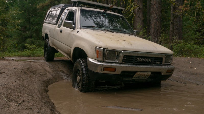
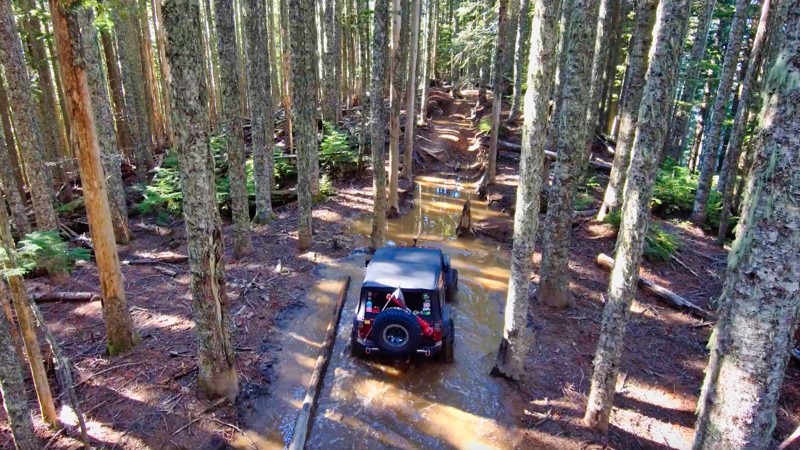
Swakane Road is a trail with long ruts and deep puddles. After traveling 5 miles north of Cashmere, you'll find yourself back in the trees of the eastern side of the Okanogan-Wenatchee National Forest. Early on the trail has many dips, followed by a long rut running down the center of the road. Rainy weather will make it more difficult, but also more enjoyable, as you drop down into deep puddles and slide around on some mud. Though it’s a brief trail, it’ll be fun for anyone looking to play in the puddles, or looking to venture further north into the forest.
This trail is part of the Washington Cascade Overland Route. Visit Overlanding Across Washington for more information, including which trails to take next.
Updated: 11/06/2024
Evans Creek / Trail #197
Wilkeson, Washington
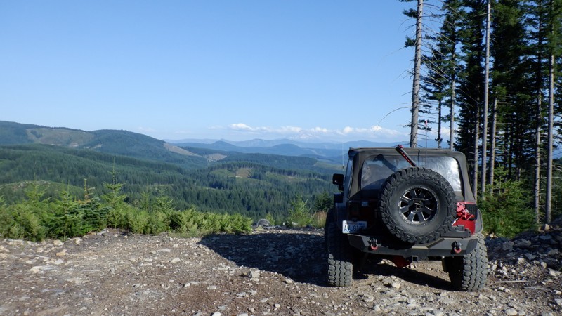
In the Mt. Baker / Snoqualmie National Forest and part of the Evans Creek ORV Area, Trail #197 is one of a dozen trails designated for 4x4 use for over 45 miles of trail riding. What you won't find on this trail is any time to relax. With its tall drop-offs, 6-foot root walls, and severe off-camber sections, you'll be lucky to get away with your fenders. This trail is rated the hardest in the Evans Creek ORV, and if you need a challenge and something to brag about, you might try this trail in reverse and turn those drop-offs into challenging climbs.
Updated: 06/05/2024
Screech Owl
Camas, Washington
Screech Owl is the second in a series of trails that are usually run consecutively. Skyline trail, then Screech Owl, and finally Snaggle Tooth. This trail is fairly short, but it makes up for it in some nail-biting descents through several switchbacks, with a few pretty large loose rocks on off-camber sections that will have your passenger cursing for you to get over. There are some views of Mt. Adams that on a clear day should not be missed. This trail will definitely test your skills behind the wheel.

Updated: 01/17/2023
Elbe Hills OHV - Sunrise Trail
Elbe, Washington
Sunrise trail should always be on your "first to do" list when in the Elbe Hills trail system; it starts out with a couple of technical turns bringing you into a long rocky hill climb. A well built rig can negotiate most of this trail in 4HI, versus a stock rig would want to use low range. It is a great run to get you and your rig warmed up for a day on Elbe's trails. It can be very tight as with all of Elbe's trails, but I have witnessed a military spec Hummer on this trail before. Rocks are very sharp throughout the area and this trail is no exception, airing down to at least 15 psi is highly recommended, this will ensure your sidewalls are a little more forgiving. There are a couple narrow bridges to be wary of, local clubs keep them in decent shape, but simple slips off the edge have proven to end in rollovers.
Updated: 08/26/2023
Shingle Mountain
Cook, Washington
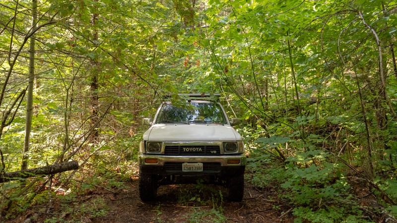
NF-6600-020 is a short trail off of the main path of the Cascade Overland Route, offering dispersed camping. It’s narrow and overgrown flora means it’s a trail less traveled, making the camping even more secluded. This does, however, pose some risks for vehicles and passengers as well. With lots of low hanging tree limbs, caution should be taken so as to not hit the windshield with too much force. Pinstriping may occur as well, and the dense overgrowth will make it difficult to turn around on the trail. For that reason, understand that if you go past Waypoint 2, the camping area, you may need to back out rather than turn around. Shingle Mountain makes for a nice secluded campsite, just far enough from the more frequented route that you shouldn't have any unwanted company.
This trail is part of the Washington Cascade Overland Route. Visit www.trailsoffroad.com/blog/overlanding-across-washington for more information, including which trails to take next.
Updated: 05/15/2024
Pit Overlook 4W-321
Cle Elum, Washington
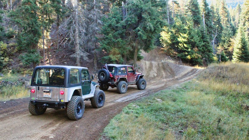
Pit Overlook (4W321), nestled within the Okanogan-Wenatchee National Forest, is a captivating 4.5-mile-long trail that forms a part of the Liberty Off-Highway Vehicle (OHV) park. This scenic route offers a delightful journey through the forest, with gentle variations in elevation keeping the ride exciting yet manageable. As you traverse along Pit Overlook, you'll be treated to breathtaking views that extend to the south, revealing the natural beauty of the surrounding landscape. However, one notable feature that adds an element of thrill to the experience is the off-camber shelf road, which can be intimidating. With its sideways tilt, this winding road might make your heart skip a beat, but it also adds a sense of adventure to the journey. Despite the exhilarating moments, Pit Overlook remains an enchanting trail that showcases the beauty of the Okanogan-Wenatchee National Forest and provides OHV enthusiasts with a memorable offroading experience.
Updated: 09/09/2023
Ridge Road
Naches, Washington
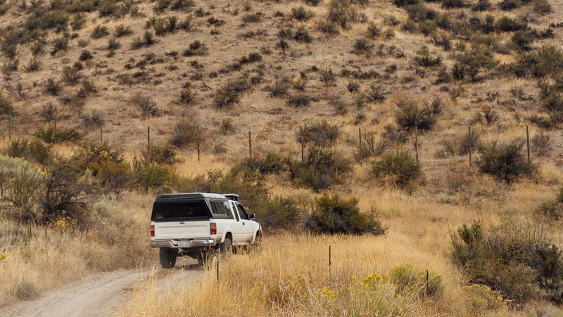
Immediately off of North Wenas Road is the start of Game Department Road, just outside of the town of Wenas, Washington. The trail starts with a few bumps early on, but nothing severe. There is a gate about two-thirds of a mile in. It’s just like the gates on Newlands Road; just close them once you’re through. The gates tend to swing, so, it may take an additional hand in closing them. In the later part of the trails, there may be a few ruts to watch out for, so don't go too fast. The trees will begin to disappear as well, though the occasional lone tree and wooded patch exist.
After about 1,300 feet of elevation gain, the trail more or less levels out and continues straight along Ridge Road. Though the elevation changes on the ridge are minimal, the gentle climbs reveal the road ahead at the crest and hide the trail once more after dipping back down. A few trees reappear at the end of the trail. The land here is dry, and mostly barren, with few trees, but plenty of brush. It seems almost desert, and while it is actually common for Washington east of the Cascades, it is a far cry from the typically assumed dense forests of the state. The trail ends and continues on as Umtanum Ridge Road.
This trail is part of the Washington Cascade Overland Route. Visit Overlanding Across Washington for more information, including which trails to take next.
Updated: 09/15/2022
Elbe Hills OHV - Gotcha Trail
Elbe, Washington
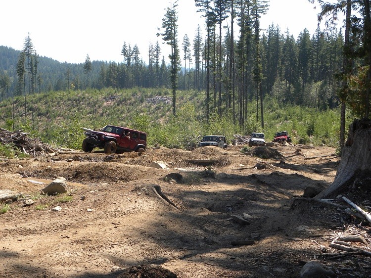
Gotcha off-road trail is one of the highlights in Elbe Hills OHV Area. With it's four different obstacles, this 4wd trail is a good choice for every type of experience level and build. There is a forested swamp with tight trees, difficult climbs and sharp drops as soon as you are on the trail...Gotcha! There is a large rock crawling playground and grand vista on what is affectionately known as "The Log Jam", a pile of logs that were "conveniently" left behind by a logging company; the perfect place to grab some lunch, take some pictures and watch the buggies "chop wood". The final set of obstacles are two-fold, the first part is a hole that is so off camber, you will be guaranteed to get body damage. Just when you think you are done, at the point where if you walk around the corner you can see the exit, there is a deep nasty hole that gives you no choice but to barrel on through...Gotcha!
Updated: 07/17/2024
Nealy Creek
Liberty, Washington
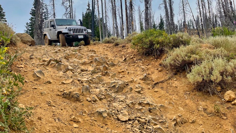
This trail is beautiful in the spring and summer when the flowers are in bloom. There are many meadows and views east into the valley as this trail falls 1000 feet in elevation. You can expect some pucker-factor as the trail drops down in elevation along some medium off-camber sections and a pretty significant waterfall that cannot be bypassed.
Updated: 06/05/2022
Sadie Creek - Rainier Lane
Port Angeles, Washington
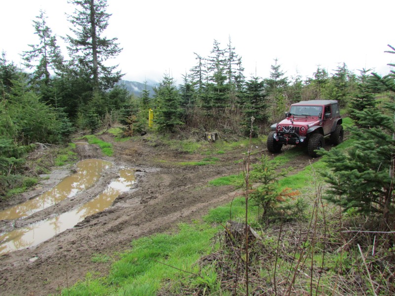
Sadie Creek Multi-Use Trail System is a 6-mile network of tight and technical trails providing the user with a rustic off-road experience. There are five trails that weave through forests of varying ages and some clear-cut areas. The unobstructed views of the Strait of Juan de Fuca and Vancouver Island are breathtaking on a bright sunny day. While this park may not be very large and only has five short trails, the trails very tight and the presence of mud will make this a pretty difficult task for most vehicles no matter the build. This will make sure a really fun day of wheeling.
Rainier Lane is a trail that winds west to east through the middle of the park. It is known for its tight turns, off camber downhills and hidden stumps looking to grab a tire on the way by.
Updated: 07/15/2024
Tip-Over
Cliffdell, Washington
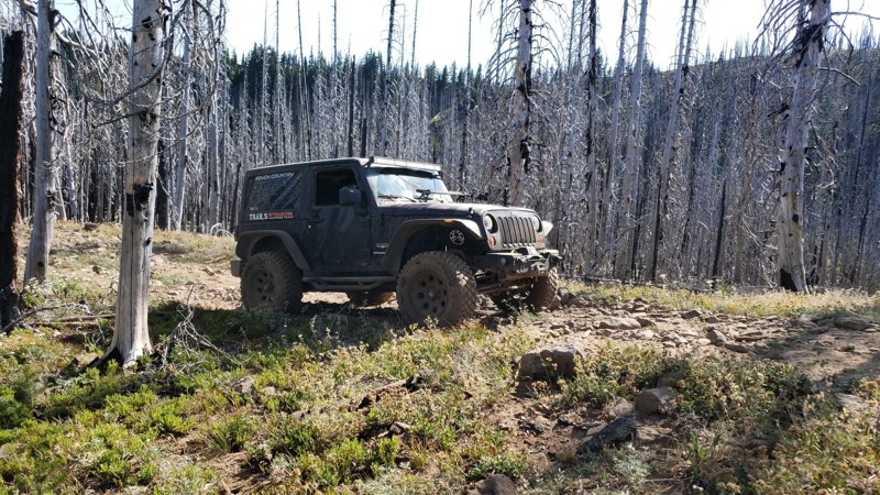
Tip-Over is located in the Okanogan-Wenatchee National Forest. The area is a popular off-roading destination. The trail climbs 2.5 miles to an altitude of just over 5900 feet. This trail is a straight-through trail and can be used as a connector between Tripod Flats and String / 4W309. Most of this trail is covered in lava rock with gorgeous soaring rock walls towering above. Just about the time you're ready to be off the rocky path you enter the Silver Forest. This is a section of the forest that burned a few years ago. The fire burned so hot and fast a lot of the trees were left standing with most branches burned off and the remaining trunks looking silver in color. You can see the silver shine on the trees all the time but when the sun hits them they shimmer and reflect the sun's rays. It is truly an amazing sight. When the wind blows in the Silver Forest, the trees whistle. This happens when the wind hits the splits in the burned wood causing a whistling effect. Once you have reached the ridge you can look down over the Silver Forest and see how far the fire spread. Despite that, there is beauty to be seen in the forest as it strives to come alive again with new growth. We ask anyone traveling the trail to respect the forest and stay on the trail so this beautiful forest can regrow!

Updated: 09/29/2025
Sadie Creek
Shadow, Washington
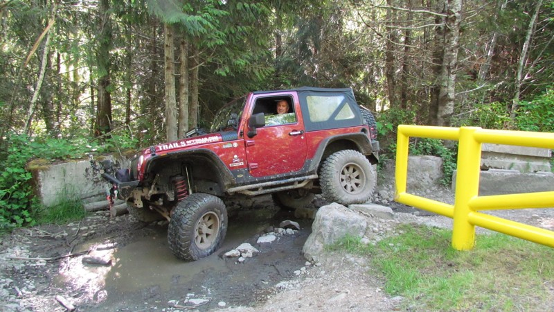
Sadie Creek has a gatekeeper that must be negotiated to get into this park. The gatekeeper is at the entrance beside the yellow gate. The gatekeeper simulates the difficulty of obstacles within the park. If you can't pass the gatekeeper, you don't belong in the park. Beyond the gatekeeper, this service road is gravel and very well-groomed. The service road runs from the entrance all the way to the back of the park, with nice views of the Strait of Juan De Fuca. Sadie Creek is 2.72 miles and climbs 200 feet in elevation. The road provides access to all five of the park's trails.
Updated: 05/15/2024
Easy Green
Gold Bar, Washington
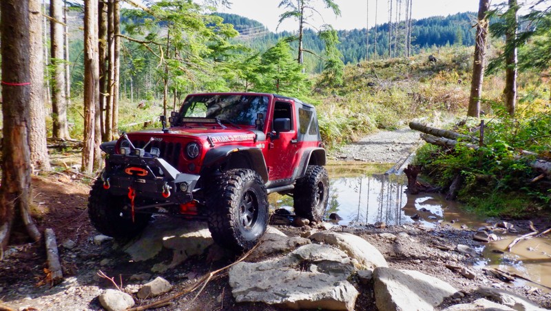
Reiter Foothills Forest is a 4x4 Recreation area with trails designated for 4x4's, ATV's and motorcycles. There are 8.6 miles of trails for 4x4 use with about twice that amount in the planning stages. Reiter is noted for its quality rock crawling trails and they are rated 9-10 for sure. Easy Green is a trail that is a lot of fun with a small qualifier to get over to get started. There are some stairs about 12 inches that are a lot of fun that climb to the top and the trail then drops to the finish. At the end of the trail, you can connect with Easy Peasy and the other entrance to Beam Me Up Scotty.
Updated: 07/17/2024
Baker Creek Trail
Liberty, Washington
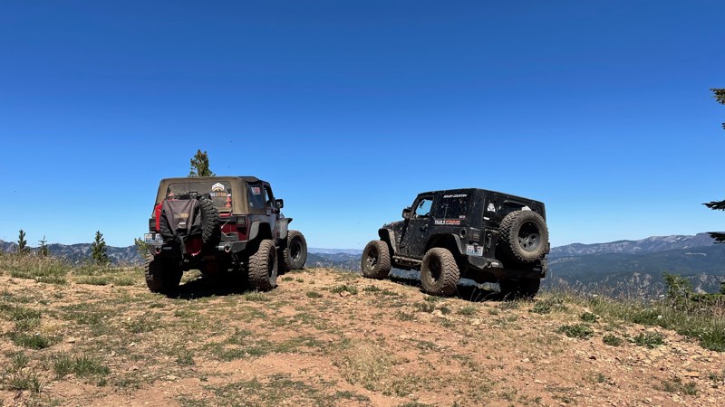
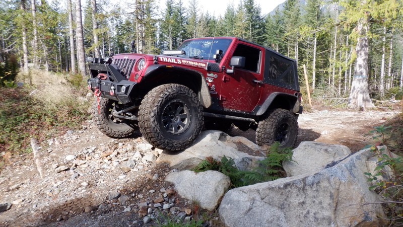
If you think hill climbs are no big deal, you definitely haven't played on these trails in the Liberty OHV. Rising over 2,000 feet in just over 3 miles, these hill climbs will have you definitely a little bit puckered and your passengers looking for hand-holds. Just when you thought, "That's got to be the steepest hill climb I have ever done!" another even steeper comes at you around the corner. The rewards of these climbs are the staggering views of the surrounding valleys and Mt. Rainier way off in the distance. Baker Ridge Trail is one of many trails located in the Liberty OHV area. Along with a few others, this trail is located on the west side of US Highway 97. These trails are significantly harder than those in the rest of the Liberty OHV on the east side of US Highway 97. In addition to the hill climbs, there are switchbacks, a creek crossing, and some beautiful mountain meadows where you might see some deer or elk. This is a must-do trail if you are in the area.
Updated: 05/15/2024
Ups and Downs
Gold Bar, Washington
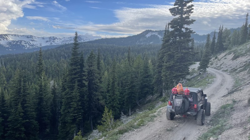
Reiter Foothills Forest is a 4x4 Recreation Area with trails designated for 4x4's, ATV's and motorcycles. There are 8.6 miles of trails for 4x4 use with about twice that amount in the planning stages. Reiter is noted for its quality rock crawling trails and they are rated 9-10 for sure. Ups and Downs trail does a lot of that and traverses back and forth, up and down across the hillside. There are some optional obstacles with bypasses to make the trail just a little harder if you wish.
Updated: 11/20/2025
FS 1241
Rimrock, Washington
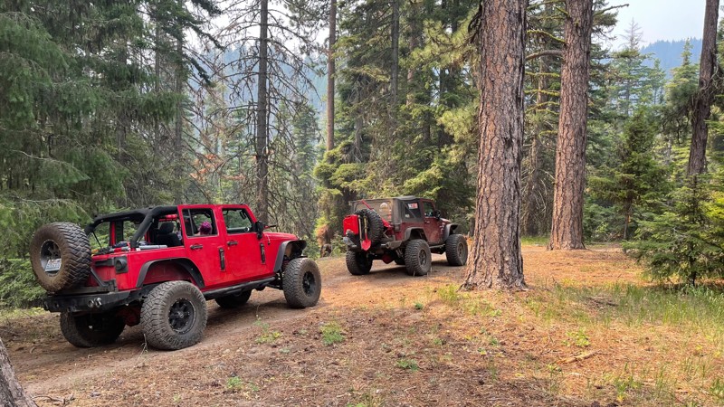
FS 1241 starts in the Rimrock Recreation area just a few yards from Rimrock Lake on Teiton Reservoir Road. The trail climbs 11.7 miles up to 6100 feet through some beautiful old-grown forest, ending at the hiking trailhead for Section 3 Lake. Towards the top, there is access to a 4x4 trail called 4W699-Section 3 Overlook. The road starts fairly easy and well-graded, but in the last few miles, the road turns into a less well-mainained secondary road. The ruts and mud that may be present raise the rating and require a high clearance vehicle. Keep in mind the snow levels at these elevations make these areas difficult to access well into August. This road was documented in July, and the last three miles were under snow, requiring a lifted vehicle with lockers.
Updated: 07/17/2024
Baker Ridge Trail
Liberty, Washington
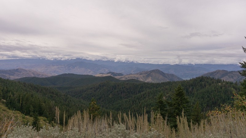
This Baker Ridge trail has all the earmarks of its surrounding sister trails, with some of the hill climbs being a bit more moderate. Not to be taken for granted, these climbs are still pretty significant. An adrenalin rush can be expected and savored as you are rewarded on the way up. Once on top, you will find some spectacular views of the surrounding valleys. Baker Ridge is one of many trails in the "Liberty OHV" area within the Wenatchee-Okanogan National Forest. Along with a few others, this trail is located on the west side of US Highway 97. These trails are significantly harder than those in the rest of the "Liberty OHV" on the East side of US Highway 97. These trails on this side of the highway offer a more seasoned driver and vehicle some real challenges and some of the more beautiful views in the Liberty OHV area.
Updated: 05/29/2023
Derby Canyon Road Connector
Cashmere, Washington
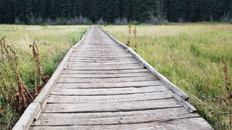
Located 7 miles north of Cashmere, Washington, Derby Canyon Road is a connecting trail that leads you deeper into the Okanogan-Wenatchee National Forest. This may be a connecting trail, but there are plenty of views of the valley below as you pass through. The trail begins at the intersection Swakane Road, and heads further north before reaching its end at the trailhead of Entiat Ridge Road.
This trail is part of the Washington Cascade Overland Route. Visit Overlanding Across Washington for more information, including which trails to take next.
Updated: 07/01/2024
Divide
Ellensburg, Washington
This trail is located in the Okanogan-Wenatchee National Forest. This area is known for wheeling, camping, hiking, and swimming. In the summer months, it is hot and full of visitors enjoying its wide variety of activities. You can find all levels of trails in the forest and if your lucky you will catch a glimpse of the elk as they migrate through the area.
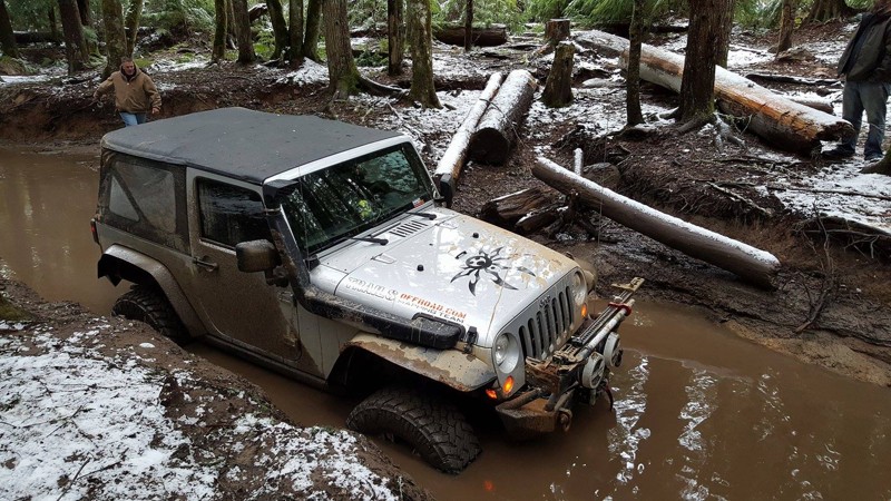
This trail is a long easy trail for most people to enjoy. There are beautiful views that look over the valley below that provide a nice place to pull over and take a deep breath. This trail is not very technical but provides just enough of a challenge to keep you interested. The rock climb and the long bridge crossing are just two of the exciting aspects of the trail.
Updated: 09/01/2023
Elbe Hills OHV - Swamp Trail
Elbe, Washington
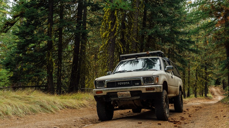
Aptly named, Swamp Trail is just that, a swamp! The mud pits seem to have no bottom and depending on the time of the year, the water can be up to a stock Jeep's headlights. Even so, if you have a stock vehicle don't let the name scare you, there is a bypass that can be used and allows for access of any high clearance vehicle to watch the better built rigs play in the muck. The best route to go on this off-road trail is east, which will drop you off in the middle of Gotcha Trail. This 4wd trail can also be used as an exit or shortcut out of Gotcha, Swamp Trail connects very close to the Log Jam, and will give you slightly faster access to some serious rock crawling action in that section of Gotcha.
Updated: 08/13/2023
R-1000
Naches, Washington
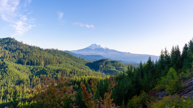
R-1000 is one of the connecting roads to and from Bethel Ridge; this one traveling east toward the town of Nile and away from Rimrock Lake. The trail takes you out of the end of the Okanogan Wenatchee National Forest, and into Department of Natural Resources land. Unlike the nearby Bethel Ridge, R-1000 has no substantial drop-offs, nor muddy holes to watch out for; short of a few puddles. Rather, it’s a nice, brush filled trail often surrounded by trees, but with a few barren patches. If traveling east from Bethel Ridge, the drive will be spent as a descent, before arriving at an intersection with Meloy Canyon Road.
This trail is part of the Washington Cascade Overland Route. Visit Overlanding Across Washington for more information, including which trails to take next.
Updated: 08/26/2023
NF-6610 (Eastern Half)
Cook, Washington
NF-6610 is an easy stroll in the Gifford Pinchot National Forest. This tame route winds you through lush vegetation with minimal issues, making it a great trail for the whole family. With a few winding corners early on, it travels mostly downhill, with a slight climb towards the end, giving you occasional opportunities to overlook the vast forest that surrounds you. Although NF-6610 does not offer much in the way of camping, many of the surrounding trails offer dispersed campsites, as well as developed camping opportunities.
This trail is part of the Washington Cascade Overland Route. Visit Overlanding Across Washington for more information, including which trails to take next.
Updated: 11/06/2024
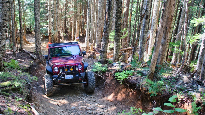
Evans Creek / Trail #310
Wilkeson, Washington
Are you ready for a hill climb? Trail #310, located in the beautiful Mt. Baker Snoqualmie National Forest, is one of a dozen trails in the Evans Creek ORV just 10 miles Southeast of Wilkeson, Washington. This trail has a very long, drawn-out hill climb with 15 - 20 inch boulders laying loosely in the path. At the last part of this hill climb, you will feel like you are in a spaceship blasting off with only the sky in your windshield. Get a good look before you commit and memorize the terrain. Once at the top, there are grand views of the surrounding mountains and valleys just north of Mt. Rainier.

Updated: 08/11/2026
Poch Peak
Upper Fairfax, Washington
Pooch Peak, NF 7920, is mostly gravel and may have standing water in places during the early Spring and Fall. This road connects with many of the trails in the park, providing the ability to move quickly from one end of the park to the other. The trail is almost 6 miles from end to end and gains about 500 feet in elevation. At mile marker 4.1, there is a washout with a makeshift primitive bridge. Inability to navigate this obstacle may prevent access to Trail #199 and Trail #519. However, both trails can be accessed from Evans Creek / NF-7930. Along the way, there are areas to pull over and play in the mud or test your vehicle's climbing ability in the gravel pit. This trail is suitable for 4x4 vehicles with some lift. Many of the connecting trails may have higher difficulty ratings.

Upgrade your Membership
Unlock all of the details on every Trail Guide and Scout Route.
Start a 7-day Free TrialCommunity
Partners

