


By clicking "ACCEPT", you agree to be the terms and conditions of each policy linked to above. You also agree to the storing of cookies on your device to facilitate the operation and functionality of our site, enhance and customize your user experience, and to analyze how our site is used.
Washington Off-Road Trails
187
Total Trail Guides 183

1735
Detailed Waypoints 156
Try a Free 7-Day Trial and unlock it all
Start a Free Trial Most Recent Trail Reviews
Rated 5/5
Open
Visited: 09/20/2026
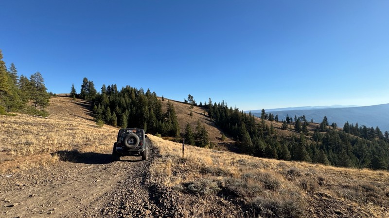
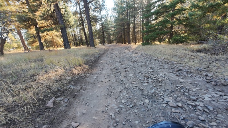
Traveled down from NS1712. The NS1711 is steep and loose gravel into the lower section along the hill side where the road surface becomes more level with gravel surface. Fantastic views from the top ...


John Kapelski
Official Crew
No Rating
Open
Visited: 09/19/2026
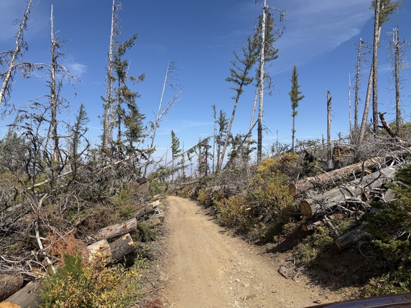
I drove this trail from the Wenatchee side all the way to Table Mountain Road in a Wrangler Rubicon. The Mission Ridge area had a couple of deep washouts on a narrow section of the road that were slo...
TS
Tom Stephens
Rated 4/5
Open
Visited: 09/13/2026
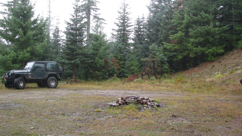
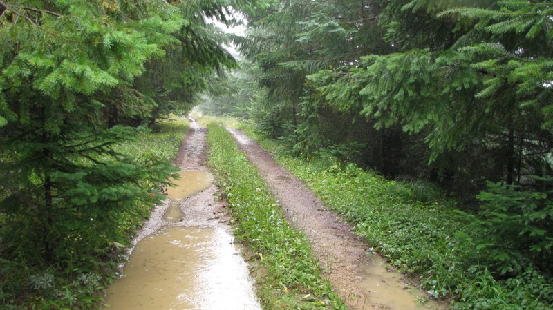
Easy hill climb to three very nice camp sites. Enclosed tree branches will provide compilatory light pinstriping and a mirror adjustment. First camp provides the most room for a group. Small trailer f...
John Kapelski
Official Crew
Rated 4/5
Open
Visited: 09/13/2026
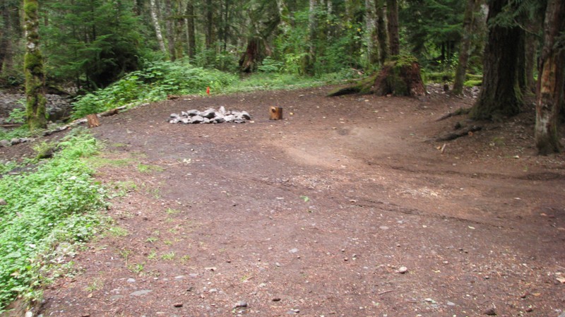
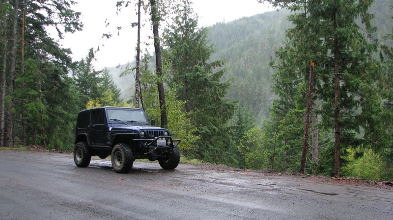
Short and sweet, Midnight Creek is an enjoyable drive through the forest at lower elevations. A dense canopy provides plenty of cool shade while the lush vegetation and abundant mountain runoff showca...
John Kapelski
Official Crew
Rated 5/5
Open
Visited: 09/13/2026
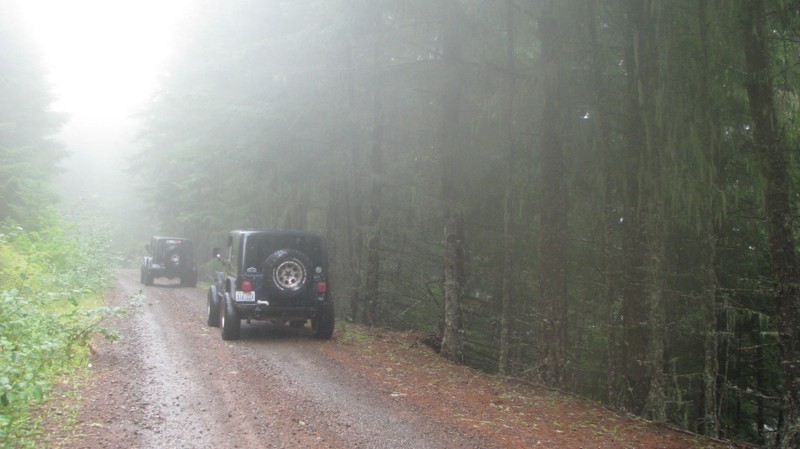
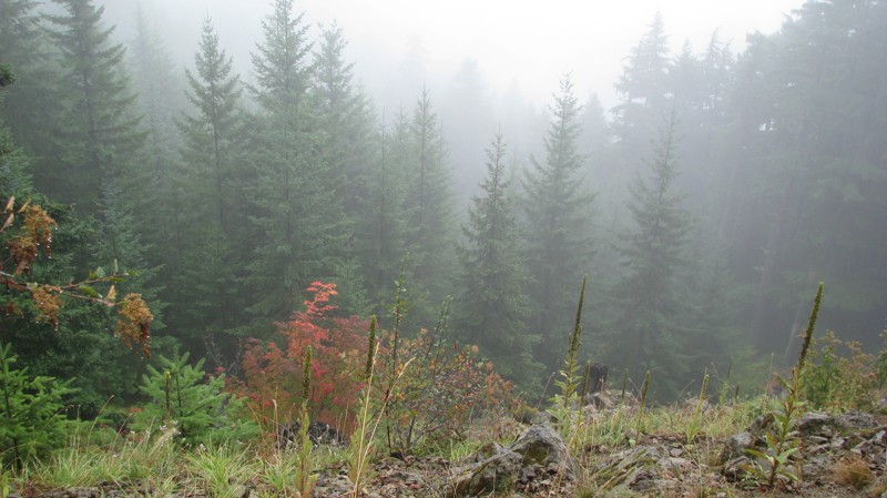
What a gem of a road! Even beneath the clouds, the route offers beautiful scenery, with early fall colors beginning to emerge and mist drifting through the surrounding mountains and forest of moss cov...
John Kapelski
Official Crew
Rated 1/5
Open
Visited: 09/13/2026
Total snooze fest. The most interesting part of the trail was when I ensured the gun was loaded driving past some local tweakers. Nothing to see here, much like the rest of the BOH trails in the PNW.
Francis whitney
Rated 3/5
Open
Visited: 09/09/2026
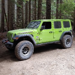
Beach access is easy and just about any vehicle can drive on the hard packed sand. A very important part that is not mentioned on the trail description is that driving on beach dunes is prohibited. Al...
Bill
Rated 5/5
Open
Visited: 09/07/2026
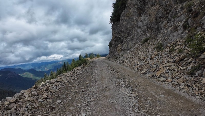
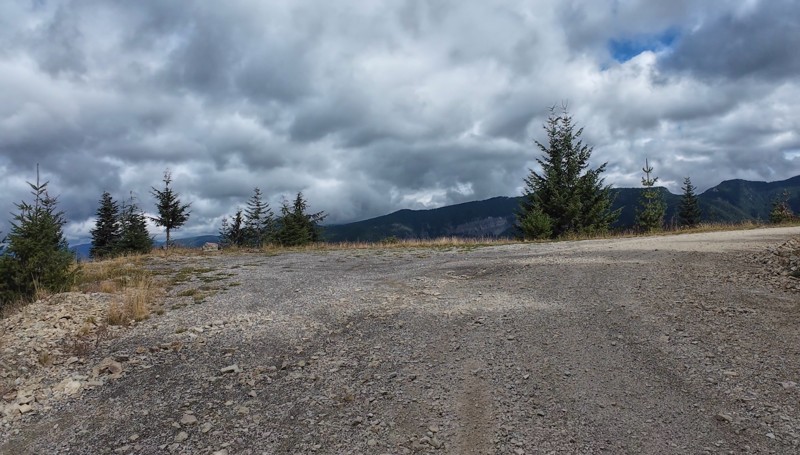
Very cool trail with multiple large campsites along the creek’s at the lower sections. Generally easy road surface with washboard areas.
John Kapelski
Official Crew
Rated 5/5
Open
Visited: 09/07/2026
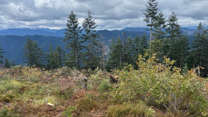
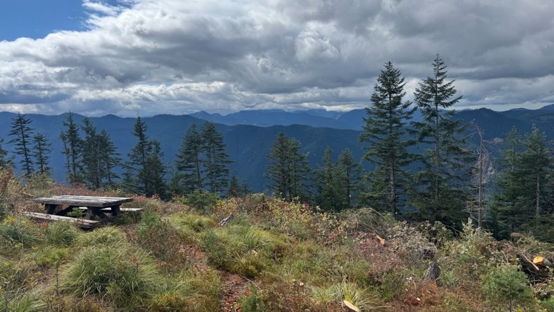
Road is easy and steep. Nice views thought the trees on the way up. Fabulous 360 degree views from the top. Cloudy days was not disappointing!
John Kapelski
Official Crew
No Rating
Open
Visited: 09/05/2026
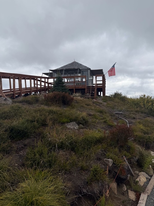
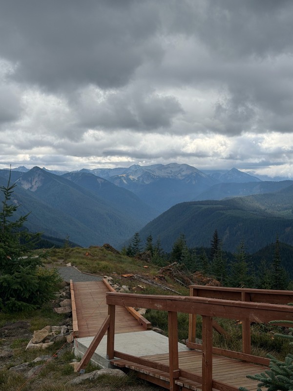
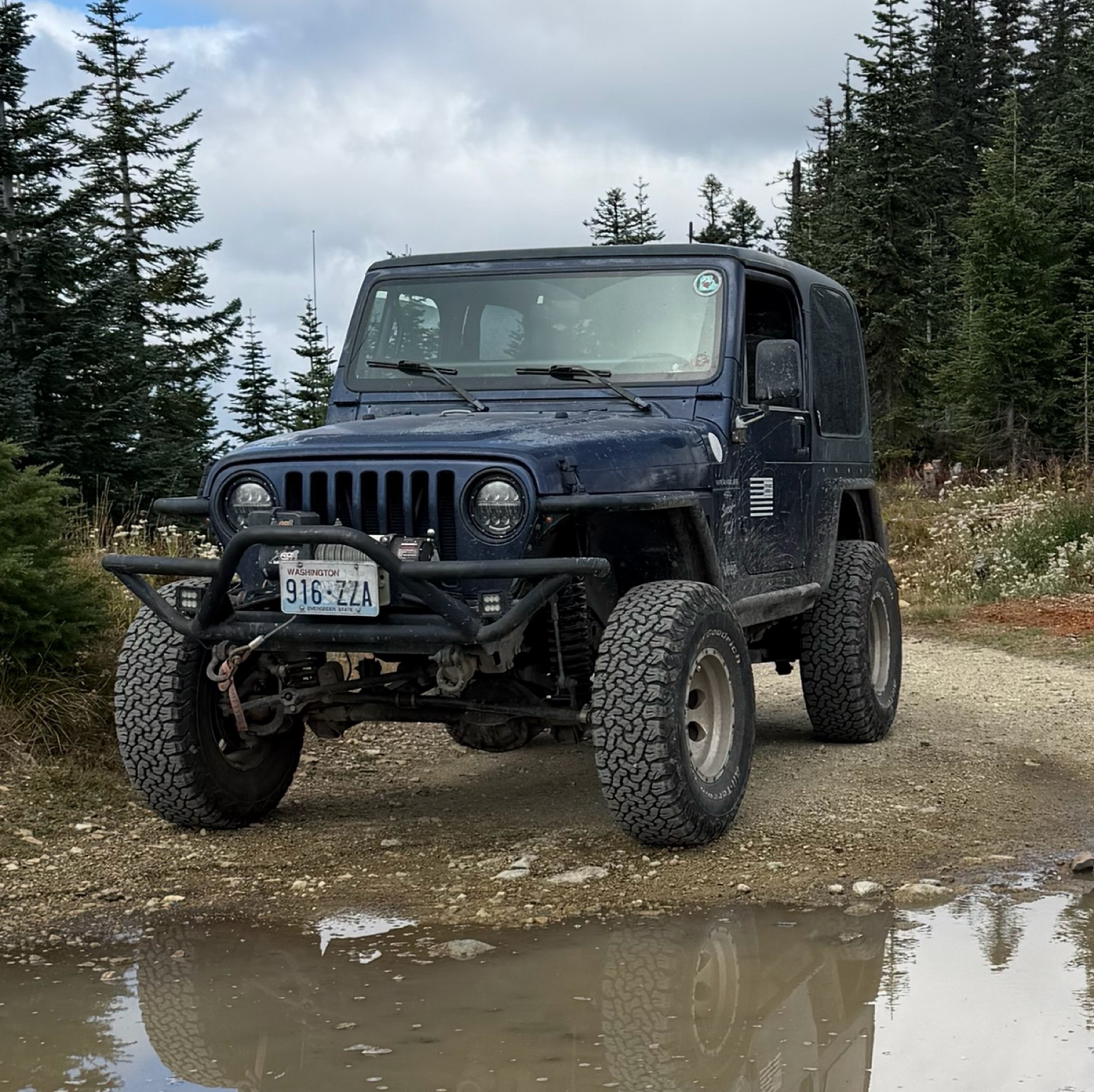
Difficult rating was spot on. Did the whole trail in 2 wheel drive. Grate views at the top
Austin Kapelski
Rated 4/5
Open
Visited: 09/05/2026
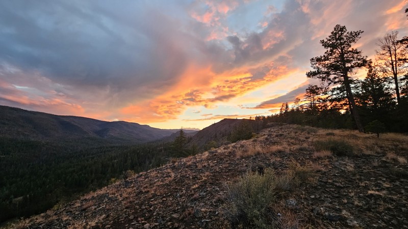
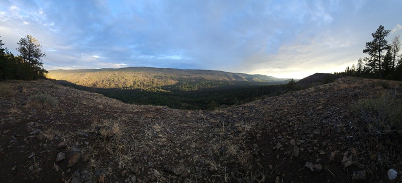
Nice quick camping trip, the campsite at the end of the road is still gorgeous, and sunsets are still pretty. the walk up to the actual devil's table is about a mile one way and 400' up, but nice view...

Ryan Wallace
Official Crew
No Rating
Seasonal Closure
Visited: 09/01/2026
According to this trails management agency, the trail is likely closed for the season.
You can reach out to the agency for more details.
Be sure to leave us a report and let us know ...

Trails Offroad
Official Crew
Rated 5/5
Open
Visited: 08/29/2026
Fun track with two people who have done this before and two, who haven't, a couple of nice waterfalls, and a good mix for everyone.
TW
Timothy Watson
No Rating
Partially Open
Visited: 08/29/2026
Tried access from North Wenas Highway at waypoint 8. Gate was posted with No Public Access. I would imagine waypoint 7 is the same as it appears to be private land???? Was not able to find access to w...
John Kapelski
Official Crew
Rated 5/5
Open
Visited: 08/28/2026
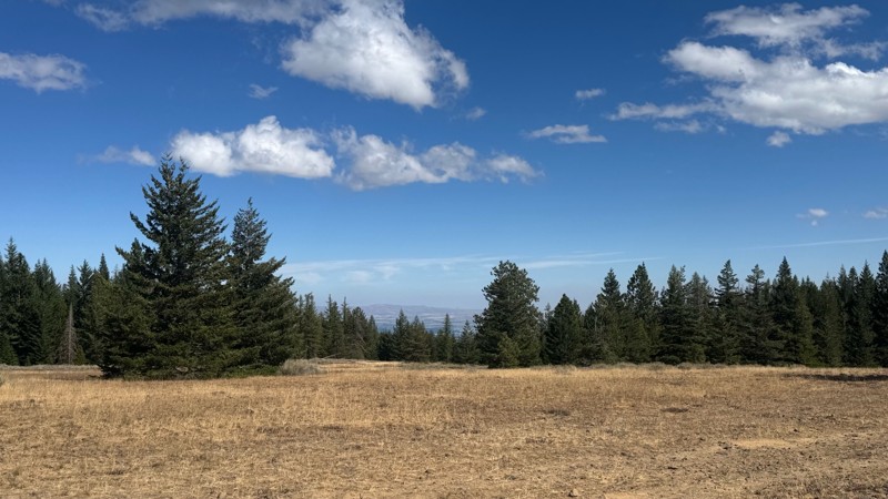
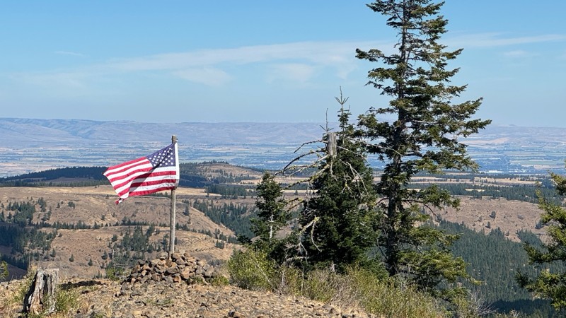
Continued from Rocky Flat,FS1701, down to Manastash Road. About 80% of the trail is down hill and never disappoints on the fun scale. More challenging that the 1701 and great views of the South Fork M...
John Kapelski
Official Crew
No Rating
Open
Visited: 08/28/2026
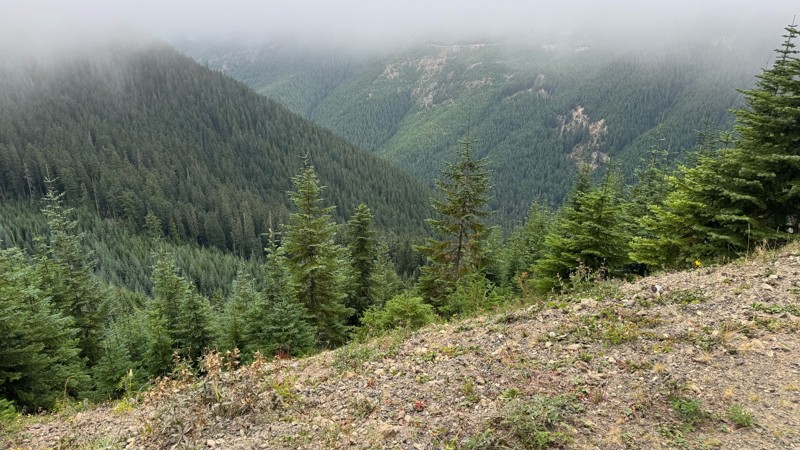
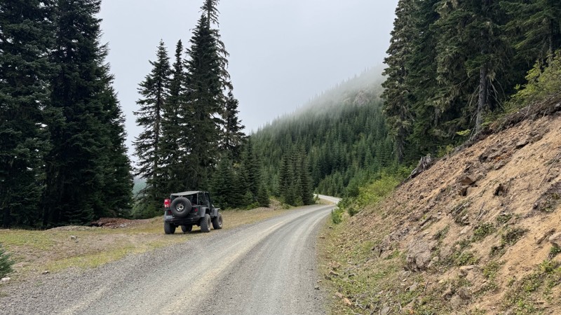
A great alternative to the Pyramid Pass route. Great camping looking over to Naches Trail
John Kapelski
Official Crew
Rated 5/5
Open
Visited: 08/28/2026
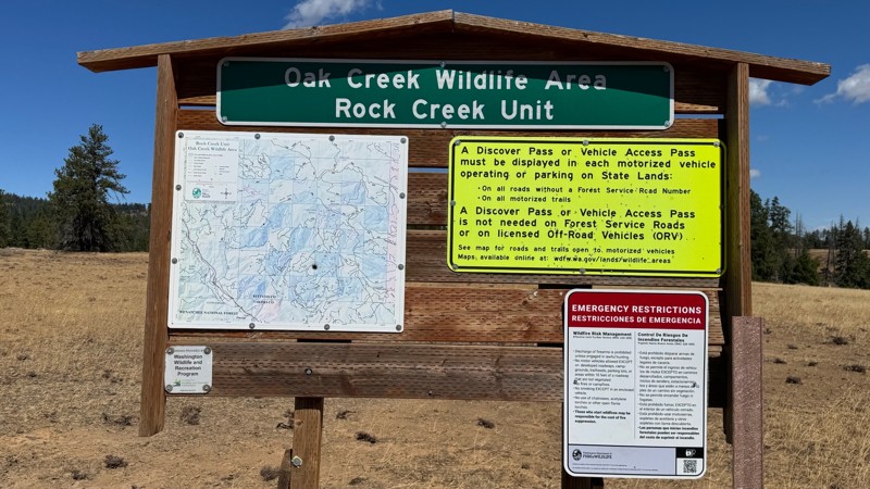
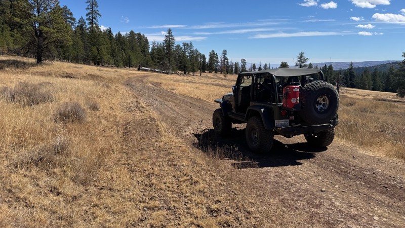
Nice dive up to waypoint 6 at five corners. Not as smooth as the initial incline but very scenic with great views to the west and east.
John Kapelski
Official Crew
No Rating
Open
Visited: 08/28/2026
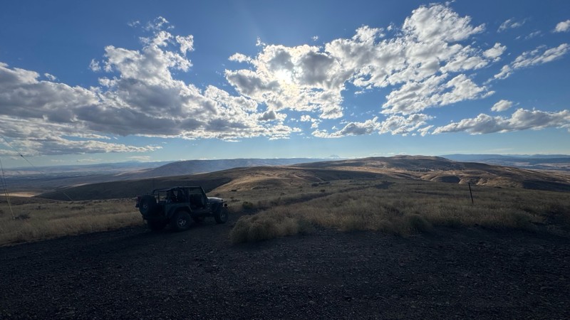
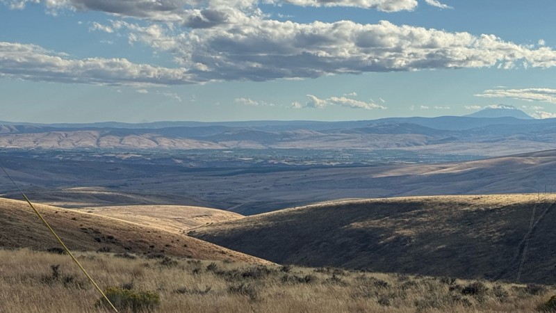
Connection area to Durr Rd and Old Durr Rd along with other trails is a bit confusing as there are “short cuts” to the same road. Umtanum Ridge is ruff. The high point is next to the towers with fant...
John Kapelski
Official Crew
No Rating
Open
Visited: 08/28/2026
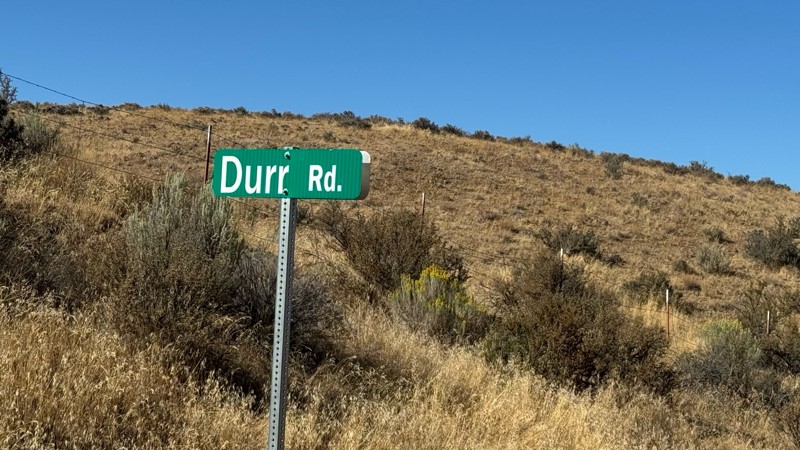
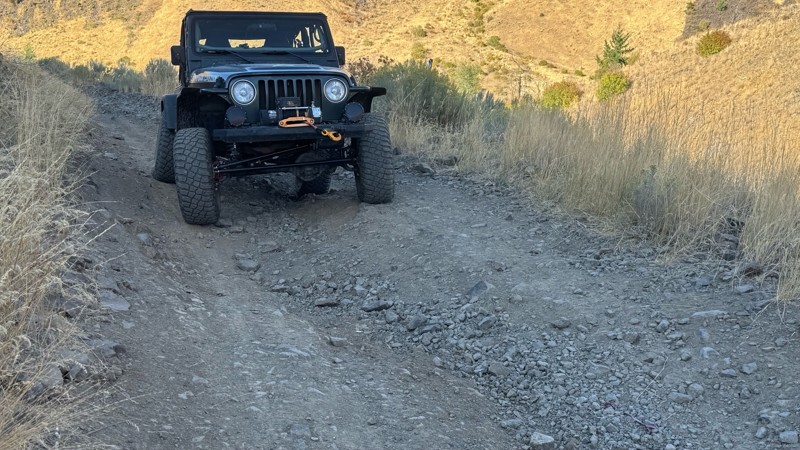
I drive this in the reverse direction of publish. Started out wide and smooth gravel surface than turned into a ruff narrow shelf road with limited places to pass. Best camping was at waypoint 3 by th...
John Kapelski
Official Crew
Rated 4/5
Open
Visited: 08/28/2026
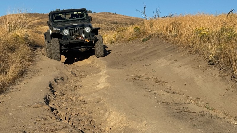
Waypoint 4-5 has changed due to water run off by exposing more rock face and creating deep ruts.
Large flat campsite next to waypoint 4, go straight before making the turn. It is the only site that ...
John Kapelski
Official Crew
Rated 4/5
Open
Visited: 08/28/2026
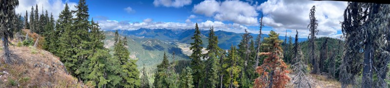
Incredible view on top! Unfortunately saw a group packing up camp on our way up and on our return down they had left lots of trash and a fire still burning during extreme fire danger and burn ban! We ...
J
Jason
Rated 4/5
Open
Visited: 08/20/2026
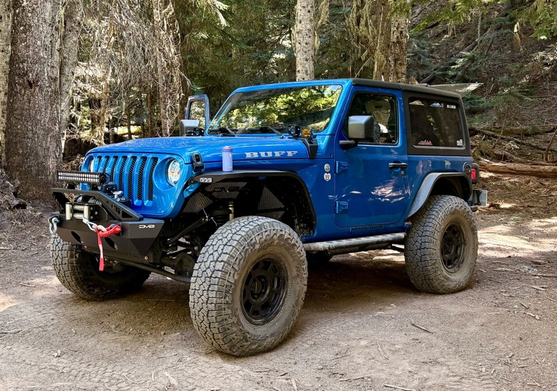
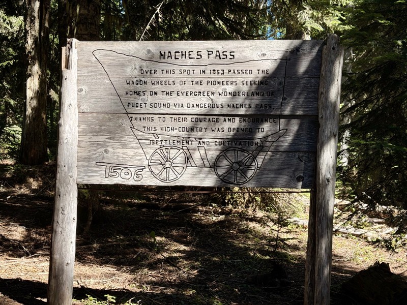
The trail is in great shape minus the section where the bridge is down. Ran into 1 other vehicle a SxS going east we were headed west. At the PCT cabin we talked to 4 through hikers refueling themselv...
CD
Carl Duester
No Rating
Open
Visited: 08/20/2026
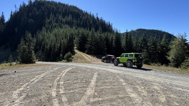
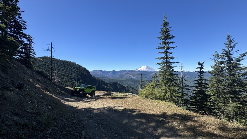
This road system offers continuous views of Mount Rainier to the south while climbing toward the rugged peaks of the northern Cascade Range. This short, enjoyable trail is well worth the few extra mi...
John Kapelski
Official Crew
Rated 3/5
Open
Visited: 08/17/2026
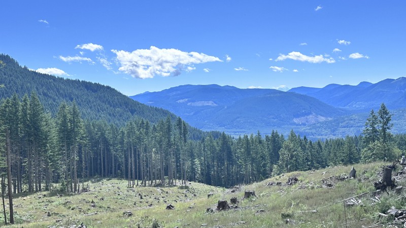
5 Road is exactly that a dirt road. Any 2WD vehicle can easily negotiate this trail. This trail is trailer friendly, but some of the tight turns are not suitable for longer trailers/campers. There are...

Eric Gartin
Official Crew
Rated 5/5
Open
Visited: 08/16/2026
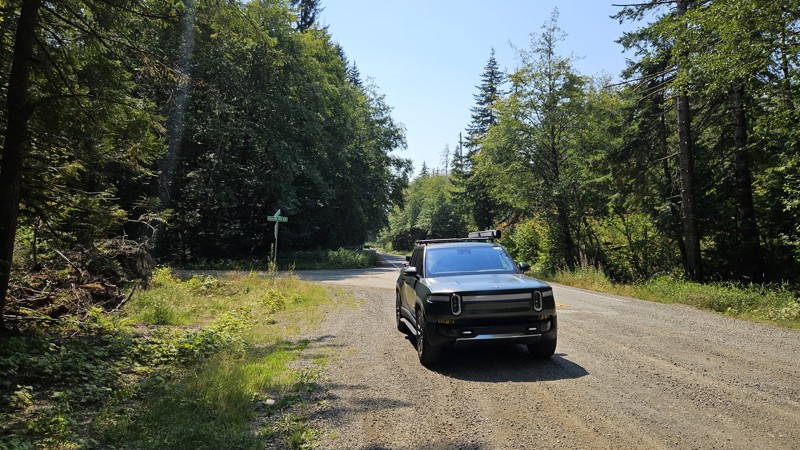
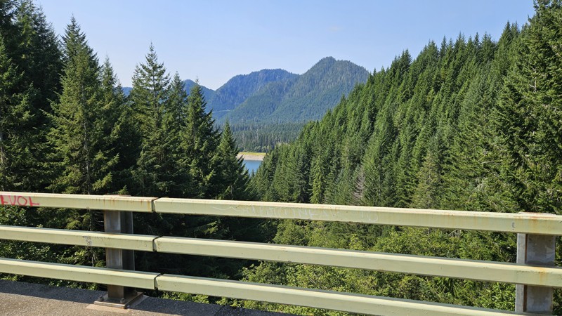
Our trip around the Wynoochee Loop was a mix of incredible scenery and some pretty technical driving. Traveling counterclockwise, we really felt the challenge starting on the final climb to the peak. ...
Ryan Wallace
Official Crew
Rated 5/5
Open
Visited: 08/15/2026
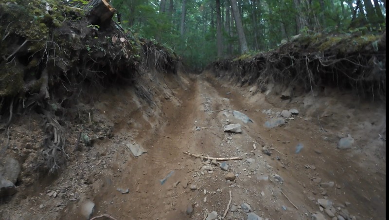
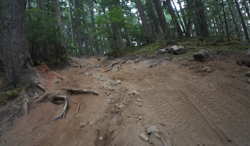
Wonderful day!!!!! Meet a two fellas doing their first trail ever. Shame on me for getting more photos. They had a BLAST!!!!! Hope to see them again.
John Kapelski
Official Crew
No Rating
Open
Visited: 08/11/2026
Per the MVUM, the trail is seasonally open. As always, check current fire restrictions/closures before venturing out.
Trails Offroad
Official Crew
No Rating
Open
Visited: 08/11/2026
Per the MVUM, the trail is seasonally open. As always, check current fire restrictions/closures before venturing out.
Trails Offroad
Official Crew
No Rating
Open
Visited: 08/11/2026
Per the MVUM, the trail is seasonally open. As always, check current fire restrictions/closures before venturing out.
Trails Offroad
Official Crew
No Rating
Open
Visited: 08/11/2026
Per the MVUM, the trail is seasonally open. As always, check current fire restrictions/closures before venturing out.
Trails Offroad
Official Crew
No Rating
Open
Visited: 08/11/2026
Per the MVUM, the trail is seasonally open. As always, check current fire restrictions/closures before venturing out.
Trails Offroad
Official Crew
No Rating
Open
Visited: 08/11/2026
Per the MVUM, the trail is seasonally open. As always, check current fire restrictions/closures before venturing out.
Trails Offroad
Official Crew
No Rating
Open
Visited: 08/11/2026
Per the MVUM, the trail is seasonally open. As always, check current fire restrictions/closures before venturing out.
Trails Offroad
Official Crew
No Rating
Open
Visited: 08/11/2026
Per the MVUM, the trail is seasonally open. As always, check current fire restrictions/closures before venturing out.
Trails Offroad
Official Crew
No Rating
Open
Visited: 08/11/2026
Per the MVUM, the trail is seasonally open. As always, check current fire restrictions/closures before venturing out.

Todd
Official Crew
No Rating
Open
Visited: 08/11/2026
Per the MVUM, the trail is seasonally open. As always, check current fire restrictions/closures before venturing out.
Todd
Official Crew
No Rating
Open
Visited: 08/11/2026
Per the MVUM, the trail is seasonally open. As always, check current fire restrictions/closures before venturing out.
Todd
Official Crew
No Rating
Open
Visited: 08/11/2026
Per the MVUM, the trail is seasonally open. As always, check current fire restrictions/closures before venturing out.
Todd
Official Crew
No Rating
Open
Visited: 08/11/2026
Per the MVUM, the trail is seasonally open. As always, check current fire restrictions/closures before venturing out.
Todd
Official Crew
No Rating
Open
Visited: 08/11/2026
Per the MVUM, the trail is seasonally open. As always, check current fire restrictions/closures before venturing out.
Todd
Official Crew
No Rating
Open
Visited: 08/11/2026
Per the MVUM, the trail is seasonally open. As always, check current fire restrictions/closures before venturing out.
Todd
Official Crew
No Rating
Open
Visited: 08/11/2026
Per the MVUM, the trail is seasonally open. As always, check current fire restrictions/closures before venturing out.
Todd
Official Crew
No Rating
Open
Visited: 08/11/2026
Per the MVUM, the trail is seasonally open. As always, check current fire restrictions/closures before venturing out.
Todd
Official Crew
Todd
Official Crew
Todd
Official Crew
No Rating
Temporary Closure
Visited: 08/11/2026
Closed due to the Sinlahekin fire.
Todd
Official Crew
No Rating
Open
Visited: 08/11/2026
Per the MVUM, the trail is seasonally open. As always, check current fire restrictions/closures before venturing out.
Trails Offroad
Official Crew
No Rating
Open
Visited: 08/11/2026
Per the MVUM, the trail is seasonally open. As always, check current fire restrictions/closures before venturing out.
Trails Offroad
Official Crew
Most Popular
Updated: 06/15/2024
Pickle Prairie
Naches, Washington
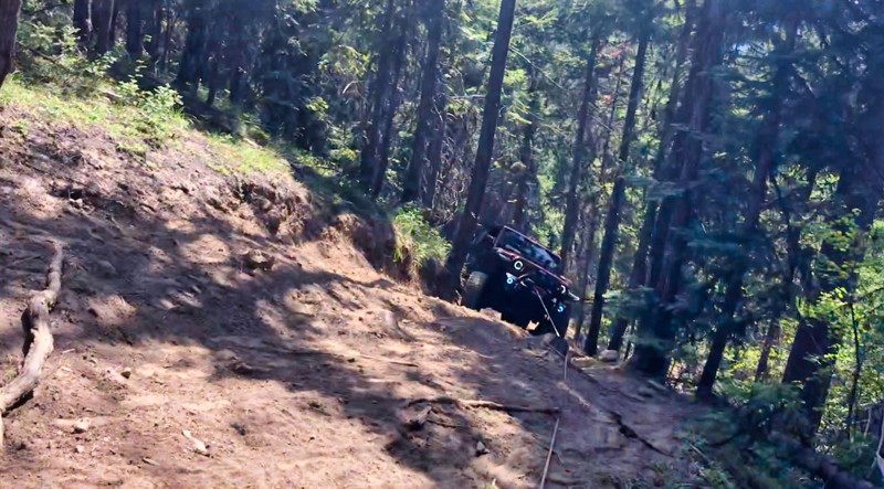
Situated in the Okanagan - Wenatchee National Forest is the "Rimrock Recreation Area" hosting Rimrock Lake, a very popular destination for boating and fishing. What makes this area so special is the 30-40 4x4 trails along with 100's of miles of forest service roads to explore. Pickle Prairie is a trail that climbs up through some old-growth forest to an altitude of 4200 feet. There are several mountain meadows full of spring and summer flowers along the way with beautiful views of the surrounding cliff-faces. To complete this trail you need to be ready for some serious hill climbs that border on insane without a safety line. Experienced wheelers in well-built rigs, will find this trail quite challenging. Stock vehicles can do some exploring up to Waypoint 3.
Updated: 05/16/2024
NF-324
Naches, Washington
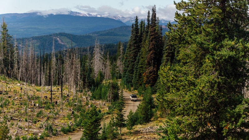
After the switchbacks of NF-1500, you are given the option to depart early and continue on to NF-324, which will end up steering you towards the more challenging, and awe-inspiring Bethel Ridge. Despite being a short connector, NF-324 offers amazing views of Rimrock Lake, and the surrounding mountains, including Rainier and Adams. This trail is part of the Washington Cascade Overland Route. Visit Overlanding Across Washington for more information, including which trails to take next.
Updated: 04/01/2024
Evans Creek / Trail #199
Wilkeson, Washington
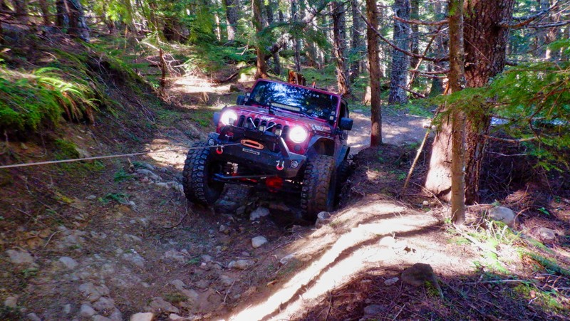
In the Mt. Baker / Snoqualmie National Forest and part of the Evans Creek ORV Area, Trail #199 is one of a dozen trails designated for 4x4 use for over 45 miles of trail riding. Trails are well marked and even rated from easy to most difficult. Trail #199 winds up through old-growth forests with switchbacks with tight and narrow turns, and the hill climbs can be pretty intense. This trail would be an excellent one for a beginner to gain confidence in their driving and vehicle's abilities.
Updated: 03/12/2026
BR-16
Mount Vernon, Washington
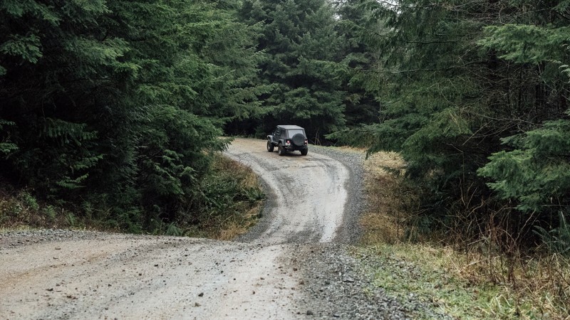
BR-16 is a service road on the south side of the Walker Valley ORV Park. The trail is a dirt road that can be muddy and has many potholes. It can be a busy place, and while there is ample room, be mindful of other drivers around you. The trail as a whole is fairly easy and could be accomplished by almost any vehicle, but it can only be accessed after completing the gatekeeper on WV-22 and completing EZ-Valley Connector. After departing from EZ-Valley Connector, this trail gives you access to Ridge Ram and ends at the intersection with BR-ML, giving you further access to the trails within the park. Walker Valley ORV is comprised of 3,200 acres, with twelve 4X4 trails, and many more ATV and dirt bike trails. The trails offer many challenges like rocks, roots, and ruts. These obstacles will change from season to season, with the addition of snow and rain, which can also produce large puddles and muddy stretches. From the mild to wild, Walker Valley ORV provides something for everyone.
Updated: 05/15/2024
Driveway
Gold Bar, Washington
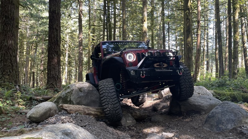
Driveway is a great 4x4 trail in the Reiter Foothills Forest is an excellent introduction to rock crawling. The obstacles are constant and are placed in a way that forces you to choose a line. There are no bypasses and no reward for driving around them since the trail is short and designed with obstacle navigation in mind. The Reiter Foothills Forest is a 4x4 Recreation area with trails designated for 4x4's, ATV's and motorcycles. There are 8.6 miles of trails for 4x4 use, with about twice that amount in the planning stages. Reiter is noted for its quality rock crawling trails, and they are rated 9-10 for sure. But there are other more tame trails, like this one, with plenty of tight twists, stumps, and roots to keep the driving interesting.
Updated: 10/09/2024
Van Epps Loop
Ronald, Washington
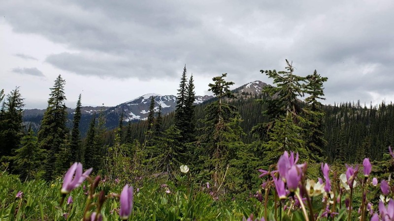
Van Epps Loop Trail is in the Okanogan-Wenatchee National Forest. This area is a great getaway from city life to unwind and enjoy the beautiful scenery in a peaceful setting. You can experience the undeveloped forest, clean streams, and if your lucky, get a glimpse of some deer or elk. Van Epps Loop is an alternate trail off of Van Epps Pass trail, located just North of Roslyn, Washington (home of the hit TV show "Northern Exposure"). It is only accessible for four-wheel-drive vehicles from the middle of June until November. Van Epps Loop provides an alternate route with wonderful views of a mountain top that is peacefully setting above an open meadow with lots of flowers and a small creek running across the trail and down onto the meadow.
Updated: 11/01/2023
Mann Butte
Trout Lake, Washington
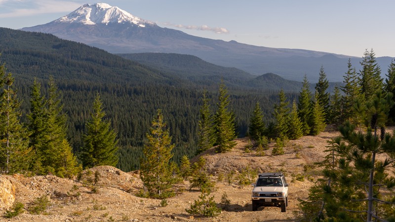
Mann Butte is a short, nearly two-mile extension off of NF-8620-070. It’s a trail that could easily be missed, but doing so would rob you of a spectacular view. Waypoint 3 offers both an amazing view of Mount Adams, as well as a fantastic campsite; albeit potentially windy. The drive to and from the viewpoint is a bit rough, and thus 4WD is recommended, but it is well worth the view, even if on foot. There are two additional dispersed campsites on this trail, at Waypoints 2 and 4, if the viewpoint is already full. While Waypoint 4 does mark the end of the trail, it does continue on, though it is too narrow for vehicles. Regardless if you’re looking for a place to camp, just in the area on a day trip, or crossing all of Washington state, this trail has a view that you won’t want to miss.
This trail is part of the Washington Cascade Overland Route. Visit Overlanding Across Washington for more information, including which trails to take next.

Updated: 01/11/2026
Little Brushy Creek Trail
Sunland Estates, Washington
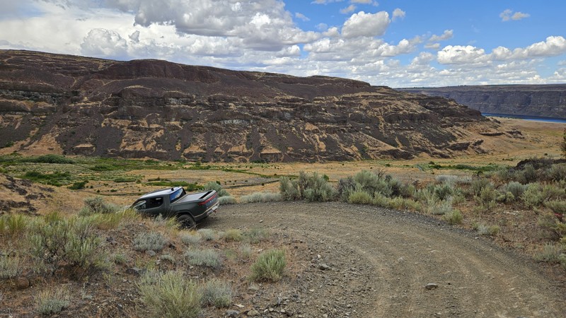
There's nothing 'Little' about Little Brushy Creek Road unless it's the clearances through some of the brushy sections. This Green Dot road offers users a wide range of experiences, from sections of steep and slippery rocks down a ridgeline with gorgeous views, to off-camber corners, to lush valleys and thick brush, deep water crossings, abundant grasslands, and even some portions of easy dirt road. Little Brushy Creek is a fun and challenging road that gets you closer to the water and is best suited for a high clearance 4x4 with deep water fording ability. Pinstriping along this trail should be expected. Generally, the Green Dot road system allows for camping within 100' of any marked road. However, there are no established locations along this trail that would make for a good campsite.
Green Dot Roads are a collaboration between DNR, the Washington Department of Fish and Wildlife, and private landowners to provide opportunities for dispersed recreation such as camping, hunting, off-road vehicle riding, and wildlife viewing. Green Dot roads are the legal motorized routes and marked with a round green reflector on a white route marker. You can find current mappings that will include seasonal and other closures at https://wdfw.wa.gov/about/wdfw-lands/green-dot. A Discover Pass is required for portions of DRN land that are included in Green Dot road maps.
Updated: 06/05/2022
Sadie Creek - Black Bear Run
Port Angeles, Washington
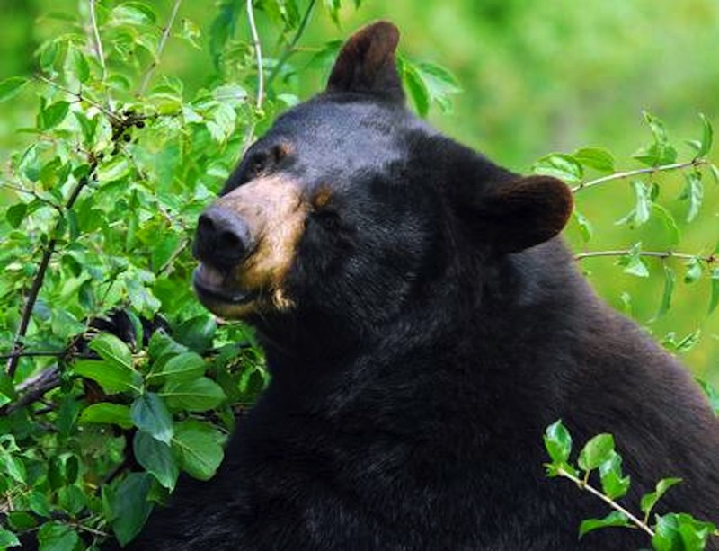
Black Bear Run is situated on DNR land in a 4x4 park called Sadie Creek Multi-Use Trail System. This park is a 6-mile network of tight and technical trails providing the user with a rustic off-road experience. There are four trails that weave through forests of varying ages and some clear-cut areas. Black Bear Run winds through the upper clear-cut section of the park. It consists of very tight turns protected by stumps and off-camber turns and dips. This trail requires serious attention to detail to keep your fenders intact. Be on the lookout for the Black bear sow and her cub that were spotted in this area at the time it was mapped, and who the trail is named for. The unobstructed views of the Strait of Juan de Fuca and Vancouver Island, BC are breathtaking on a bright sunny day. While this park may not be very large and only has four short trails, the trails are very tight and the presence of mud will make this a pretty difficult task for most vehicles no matter what the build.
Updated: 09/09/2023
Jones Road
Nile, Washington
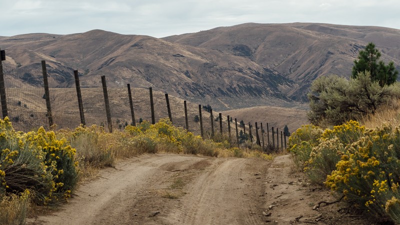
Jones Road begins at 4,946 feet, near the peak of Cleman Mountain, on the western edge of the Wenas Wildlife Area. It’s a dusty, rocky road that is fine for any 4X4, though cars will have a less enjoyable time. The entire trail is a descent, dropping over 2,600 feet after departing from Cleman Mountain toward the small town of Wenas. Early on you’ll traverse a switchback, the bottom of which has a nice dispersed campsite. The trail then continues down the mountain, passing through a few patches of trees and wide-open sections of brush.
Once you’ve reached the end of the trail, it may look like a short, half-mile stretch keeping you from reaching pavement on North Wenas Road. Unfortunately, at the end of the trail, you’ll find an intersection with a sign pointing you to turn right. If you continue straight, you’ll find yourself on a local farm, and on private property. Make sure not to miss the turn, and to continue on to Newlands Road.
This trail is part of the Washington Cascade Overland Route. Visit Overlanding Across Washington for more information, including which trails to take next.
Updated: 04/13/2024
Swauk Meadow Road
Liberty, Washington
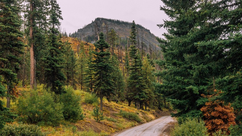
Swauk Meadow Road is a short trail located in the Okanogan-Wenatchee National Forest, about 15 miles South-West of Wenatchee. The trail is not particularly exciting, as its main purpose is to be the link between Highway US 97 and Liberty Beehive Road, near Table Mountain Road. Liberty Beehive Road has some narrow portions as well as some washouts and can become impassible even to 4X4 vehicles. If that happens, Swauk Meadow Road can be used as an alternate route or and an exit from the forest. The road also has several short offshoots, which may be used for dispersed camping.
This trail is part of the Washington Cascade Overland Route. Visit Overlanding Across Washington for more information, including which trails to take next.
Updated: 09/15/2022
Elbe Hills OHV - Alder Loop Trail Upper
Elbe, Washington
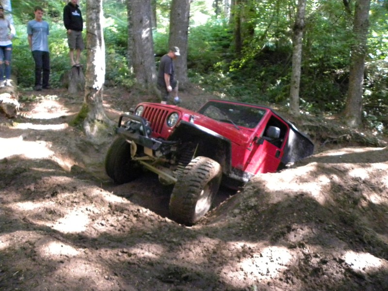
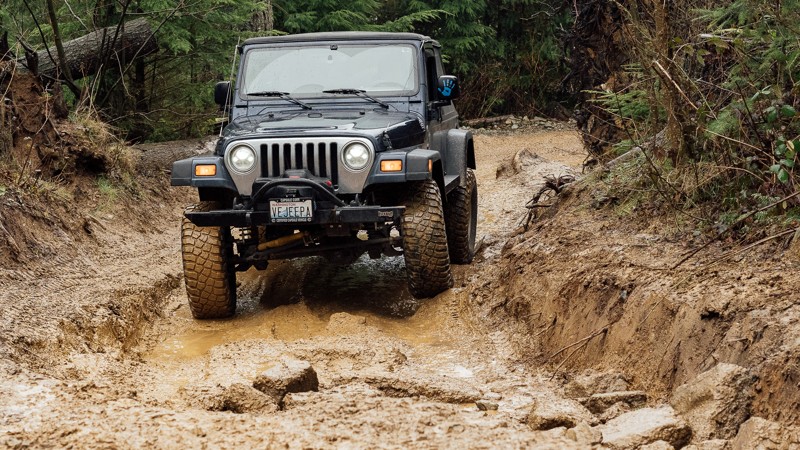
Quite possibly the most diverse set of trails in the Elbe Hills system, Alder Loop has 3 parts: Inner, lower, and upper. If you want to take your girlfriend/boyfriend/spouse/kid out here and let him/her learn how to wheel, put them on Inner Alder, this is a very forgiving trail segment and has something of everything on it. For the hardcore wheeler, the upper area is just off the Mainline Trail "hill-climb" after you come off the climb bear to the left and follow the off-road trail to the right at the fork once inside the trees. There is a nice rutted out off-camber hole with the choice of 4 routes, one can be done by a stock rig, one can be done with lockers, one can be done with a winch, and the best one, well, it can't! Definitely a do not miss trail in Elbe Hills!
Updated: 03/12/2026
EZ-Valley Connector
Mount Vernon, Washington
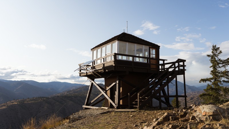
EZ-Valley Connector is one of the first trails available to you in the Walker Valley ORV Park. It’s got a few obstacles, including a small rocky area, ruts and puddles, and a large stump with a somewhat steep loop. There is a three-way split after Waypoint 2, with a few different options for fun. While this trail doesn't have too many challenges, increased rainfall and snow melts will make the trail become muddier, and the puddles will increase in size. This will increase the challenge and the fun. But, if you’ve made it to the trailhead and past the gatekeeper of WV-22, this trail will be easy for you. Besides muddy walls, you’ll see lots of smaller trees and, ferns, and stumps along this trail. It’s a great first trail and intro into Walker Valley ORV. As the name would imply, the trail is somewhat of a connector, used to gain further access into the park. Walker Valley ORV is comprised of 3,200 acres, with twelve 4X4 trails, and many more ATV and dirt bike trails. The trails offer many challenges like rocks, roots, and ruts. These obstacles will change from season to season, with the addition of snow and rain, which can also produce large puddles and muddy stretches. From the mild to wild, Walker Valley ORV provides something for everyone.
Updated: 04/01/2024
Steliko Lookout Tower
Ardenvoir, Washington
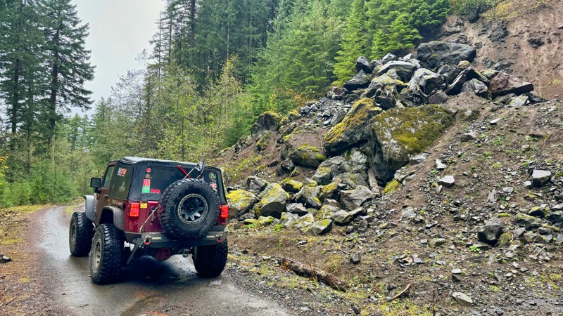
Steliko Lookout Tower is a short trail with beautiful views. It begins 17 miles south-west of Chelan, Washington in the Okanogan-Wenatchee National Forest. After a brief 1,000 foot ascent, you’re met with the Steliko Lookout Tower. The lookout began as a camp in 1925 before the current 10 foot L-4 structure was created in 1947. Between the 1930s and 1960s, there were 13 fire lookouts staffed in the Entiat Ranger District, including Sugarloaf and Tyee. Despite its low elevation, Steliko was a crucial lookout for the forest. Best of all, in 2019 volunteers renovated the lookout so that it could be used as overnight stays by visitors. This trail and lookout offer amazing views of the surrounding canyons and are great for overlanding, unique camping, and anyone wanting to experience part of the history of the forest.
This trail is part of the Washington Cascade Overland Route. Visit Overlanding Across Washington for more information, including which trails to take next.
Updated: 06/23/2025
Wildcat
Carlson, Washington
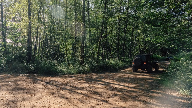
In the Gifford Pinchot National Forest, FS-7409 is an exhilarating forest service road stretching for approximately 10 miles, offering adventure seekers a thrilling journey filled with steep hill climbs and breathtaking views. The trail has awe-inspiring vistas to the east, showcasing the natural beauty of the surrounding landscape. One of the highlights of FS-7409 is the magnificent sight of Mount Rainier, which stands proudly on the horizon. Along the way, this road intersects with FS-7400, providing access to the picturesque Little Nisqually River and camping opportunities for those seeking to immerse themselves in the tranquility of nature. Combining FS-709 with FS-7400 makes a huge 42-mile loop for a complete afternoon of exploration. With its challenging terrain, stunning vistas, and camping possibilities, FS-7409 is an ideal destination for outdoor enthusiasts looking for an unforgettable experience in the great outdoors.
Updated: 03/12/2026
WV-05
Mount Vernon, Washington
Between the two gatekeepers into Walker Valley ORV, WV-05 is both the easiest and the hardest; depending on what you drive. Its narrow gatekeeper won’t be difficult to smaller vehicles but may keep those in larger rigs from entering. But rest assured, there is another way in via WV-22. This trail introduces you to the northern section of the park, immediately connecting with Upper Mainline, and getting you to the 4X4 Skills Area sooner than the southern route. Shortly after the gatekeeper is a great stop for group meets with a nice view. If you can make the squeeze, you’ll be rewarded with great wheeling soon after. Walker Valley ORV is comprised of 3,200 acres, with twelve 4X4 trails, and several more ATV and dirt bike trails. The trails offer many challenges like rocks, roots, and ruts. These obstacles will change from season to season, with the addition of snow and rain, which can also produce large puddles and muddy stretches. From the mild to wild, Walker Valley ORV provides something for everyone.
Updated: 08/27/2024
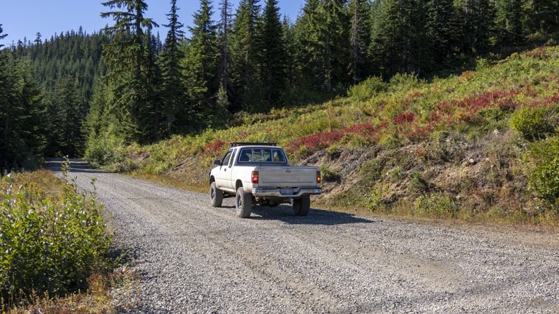
Cabin Creek (West)
Easton, Washington
Paralleling a section of the Pacific Crest Hiking Trail, Cabin Creek North offers a different route from Interstate 90 to Tacoma Pass. This scenic detour runs on the opposite side of the washout of Cabin Creek. Even though the two halves of the offroading trails no longer link up, driving on both sections still makes for a whole day of adventure near the town of Easton, Washington.
Cabin Creek Road was named after the historic town, which was established as a sawmill camp alongside the main line of the Northern Pacific Railway (now the Burlington Northern Railway) in 1916. The town was situated east of the railway's tunnel in the Stampede Pass.
Updated: 08/11/2026
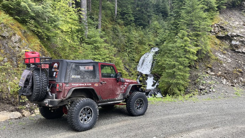
FS 47
Packwood, Washington
FS47 is a road to nowhere with interesting scenery and side roads that might make some excellent camping spots. The road starts on FS-52-Skate Creek and climbs to about 3200 feet, then down through a lush and mossy valley. The road surprisingly becomes paved at about the 10-mile mark. However, this pavement is not maintained and has rough and bumpy sections. The road ends at a washout that has not been repaired. The road initially ended near Silver Brook, WA, but because of the washout, that section was abandoned.
Updated: 08/11/2026
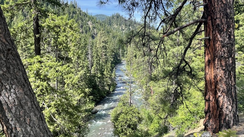
South Ford Tieton Road
Rimrock, Washington
South Fork Tieton Road is a 12.7-mile drive into the wilds of the Rimrock Recreation Area. Starting at Rimrock Lake, the road is single-lane pavement for about 6 miles, then turning to dirt at a snow gate. This gate is open from May 1st through November 1st. Following the South Fork Tieton River, this road provides staggering views of the high cliffs guarding the river. There are four large dispersed campgrounds along this road, starting with Lower Bakeoven, then Grey Creek, Minnie Meadows, and ending at Conrad Meadows. The road continues at Conrad Meadows but is marked as close to vehicle traffic, so please only explore further on foot. For those looking for a challenge, close to the end of the road is FS-1070 which intersects and takes you further up into the highlands east of the South Fork Tieton River.
Updated: 10/15/2024
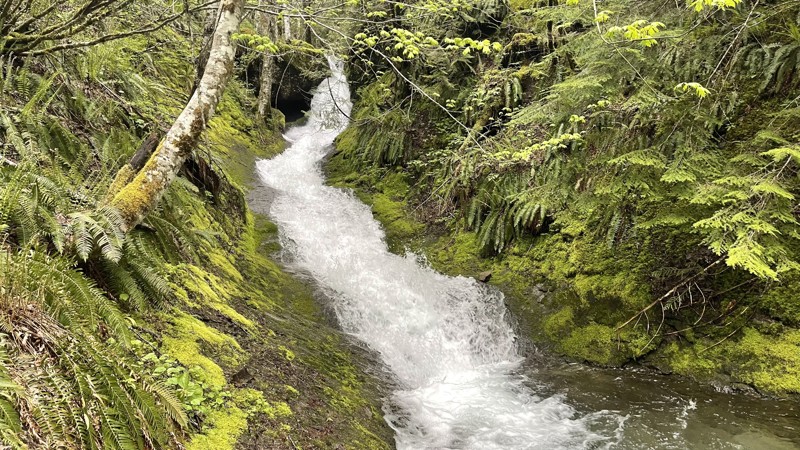
Butter Creek
Packwood, Washington
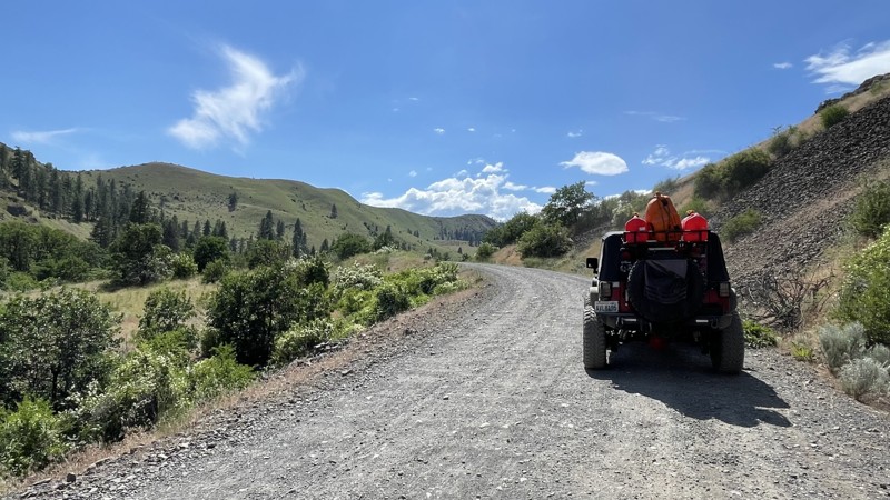
FS 5270, also known as Butter Creek, starts on the Skate Creek Road and climbs to about 3200 feet. This road crosses several waterfalls and a beautiful creek, providing a really nice camping spot just past the bridge on the right. The road travels through a lush old-growth forest and dead-ends at Tatoosh Trail 161 hiking trailhead.
Updated: 08/11/2026
Oak Creek Road
Tieton, Washington
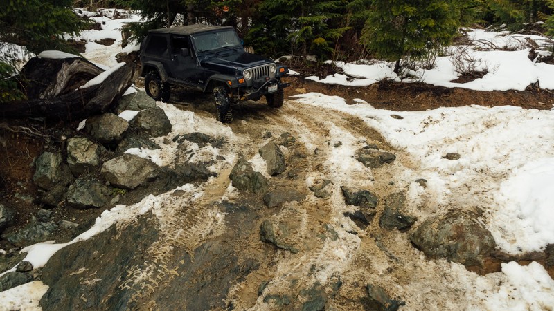
Oak Creek Road starts on US Hwy 12 and climbs steadily 14.6 miles through a valley of old-growth forest of oak and mature conifers. The road intersects with a jeep trail called 4W325. Oak Creek Road is a steady climb, so using lower gears will keep your transmission cooler. The road is open from May 1 - Dec 15 and is gated so be sure and time your exit correctly if you are coming down reverse from the top or you might encounter a locked gate. This road provides stunning views of high mountain cliffs and rocky volcanic hillsides. It also provides access via FS-14235 to Bear Lake and two other 4x4 trails (4W652 & 4W671). There are more than a dozen or so campsites see from the road and many branching trails that probably lead to some better ones. This area is known in the fall for elk camps and they are usually quite nice.
Updated: 03/12/2026
Rock On
Mount Vernon, Washington
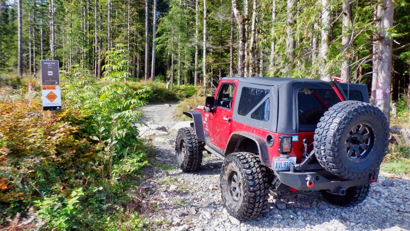
Rock On is the place to test out your rock crawling skills. Also known as the Skills Area of Walker Valley ORV, Rock On is a short but challenging trail with many obstacles to put your rig through, including a large 8-foot v-notch for the most extreme wheelers. When combined with First Timer, the Skills Area makes a loop that can be run again and again. Bring your wheeling buddies and see what you can (or can’t) do! Walker Valley ORV is comprised of 3,200 acres, with twelve 4X4 trails, and several more ATV and dirt bike trails. The trails offer many challenges like rocks, roots, and ruts. These obstacles will change from season to season, with the addition of snow and rain, which can also produce large puddles and muddy stretches. From the mild to wild, Walker Valley ORV provides something for everyone.
Updated: 05/15/2024
Easy Peasy
Gold Bar, Washington
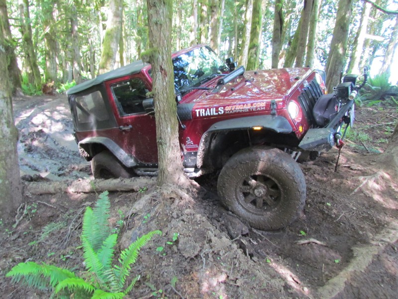
Reiter Foothills Forest is a 4x4 Recreation area with trails designated for 4x4's, ATV's and motorcycles. There are 8.6 miles of trails for 4x4 use with about twice that amount in the planning stages. Reiter is noted for its quality rock crawling trails and they are rated 9-10 for sure. This trail is a very short connector trail that gets you from the staging area back into the rear of the rock crawling trails. You can also access Easy Green from this trail.
Updated: 06/05/2022
Sadie Creek - 9 Grand
Port Angeles, Washington
"Sadie Creek Multi-Use Trail System" is a 6-mile network of tight and technical trails providing the user with a rustic off-road experience. There are five trails that weave through forests of varying ages and some clear-cut areas. The unobstructed views of the "Strait of Juan de Fuca" and Vancouver Island are breathtaking on a bright sunny day. While this park may not be very large and only has five short trails, the trails being tight and the presence of mud will make this a pretty difficult task for most vehicles no matter the build. This will make for a really fun day of wheeling.
9 Grand is a trail that winds along the right-side border of the park, through some mature forest and into some swampy areas. This trail can be run in either direction (north or south) but during the rainy season, this trail can be very difficult with the mud obstacles.

Upgrade your Membership
Unlock all of the details on every Trail Guide and Scout Route.
Start a 7-day Free TrialCommunity
Partners

