


By clicking "ACCEPT", you agree to be the terms and conditions of each policy linked to above. You also agree to the storing of cookies on your device to facilitate the operation and functionality of our site, enhance and customize your user experience, and to analyze how our site is used.
Washington Off-Road Trails
187
Total Trail Guides 183

1735
Detailed Waypoints 156
Try a Free 7-Day Trial and unlock it all
Start a Free Trial Most Recent Trail Reviews
Rated 5/5
Open
Visited: 09/20/2026
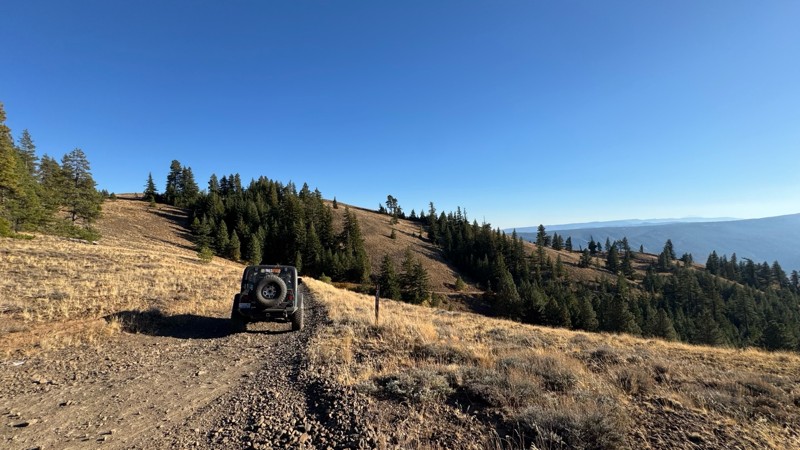
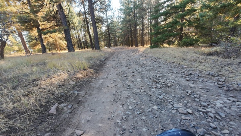
Traveled down from NS1712. The NS1711 is steep and loose gravel into the lower section along the hill side where the road surface becomes more level with gravel surface. Fantastic views from the top ...


John Kapelski
Official Crew
No Rating
Open
Visited: 09/19/2026
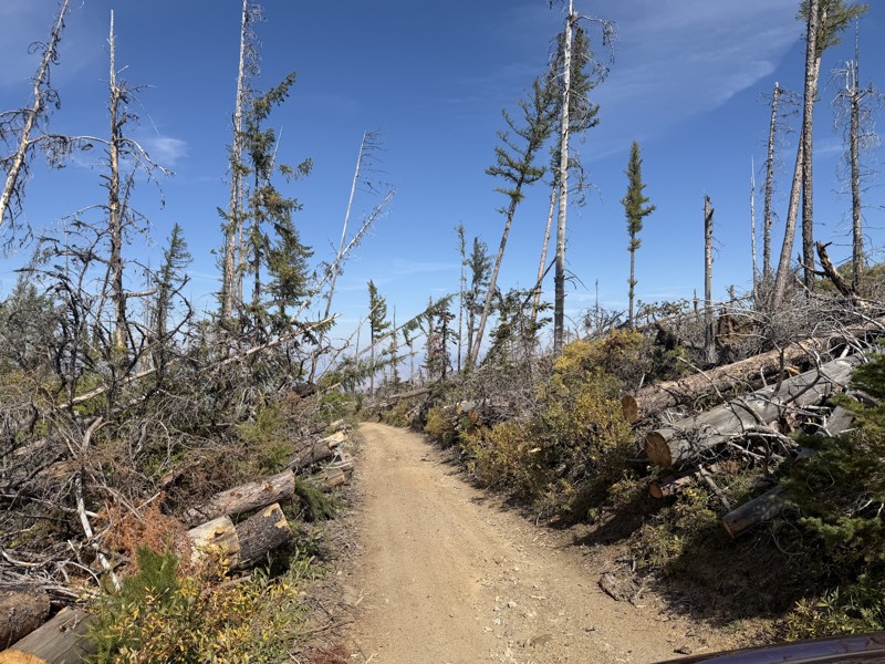
I drove this trail from the Wenatchee side all the way to Table Mountain Road in a Wrangler Rubicon. The Mission Ridge area had a couple of deep washouts on a narrow section of the road that were slo...
TS
Tom Stephens
Rated 4/5
Open
Visited: 09/13/2026
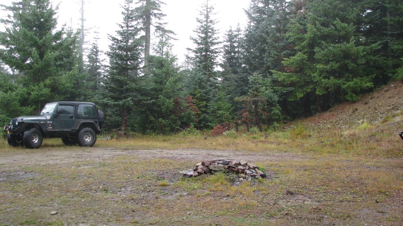
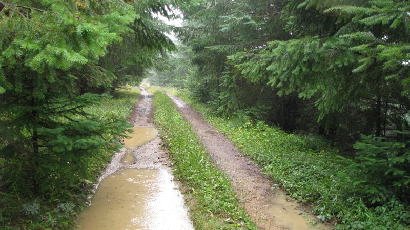
Easy hill climb to three very nice camp sites. Enclosed tree branches will provide compilatory light pinstriping and a mirror adjustment. First camp provides the most room for a group. Small trailer f...
John Kapelski
Official Crew
Rated 4/5
Open
Visited: 09/13/2026
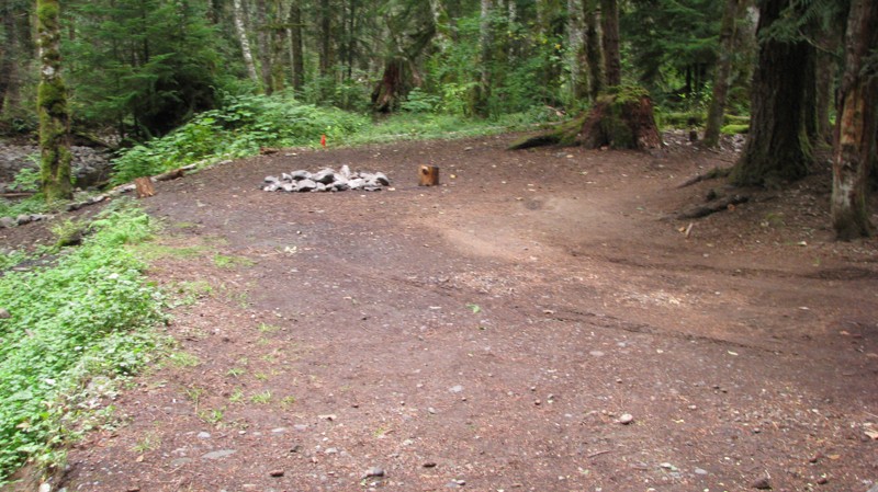
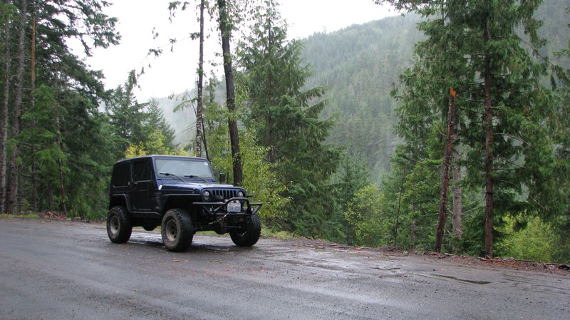
Short and sweet, Midnight Creek is an enjoyable drive through the forest at lower elevations. A dense canopy provides plenty of cool shade while the lush vegetation and abundant mountain runoff showca...
John Kapelski
Official Crew
Rated 5/5
Open
Visited: 09/13/2026
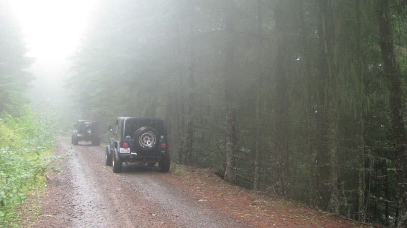
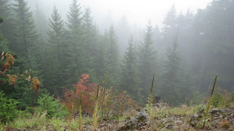
What a gem of a road! Even beneath the clouds, the route offers beautiful scenery, with early fall colors beginning to emerge and mist drifting through the surrounding mountains and forest of moss cov...
John Kapelski
Official Crew
Rated 1/5
Open
Visited: 09/13/2026
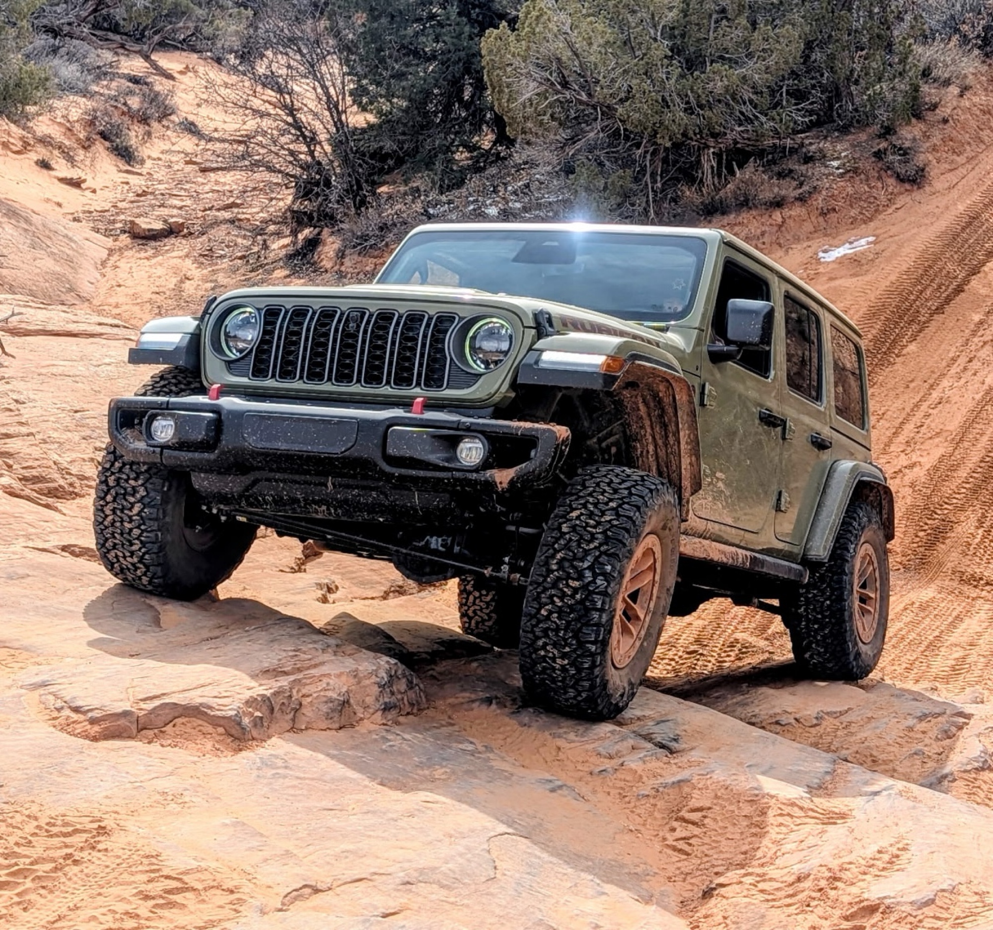
Total snooze fest. The most interesting part of the trail was when I ensured the gun was loaded driving past some local tweakers. Nothing to see here, much like the rest of the BOH trails in the PNW.
Francis whitney
Rated 3/5
Open
Visited: 09/09/2026
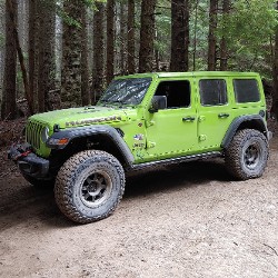
Beach access is easy and just about any vehicle can drive on the hard packed sand. A very important part that is not mentioned on the trail description is that driving on beach dunes is prohibited. Al...
Bill
Rated 5/5
Open
Visited: 09/07/2026
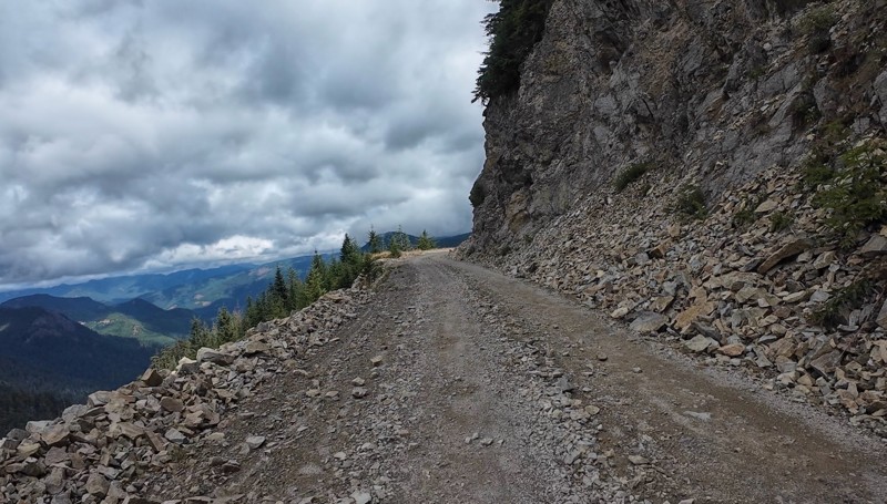
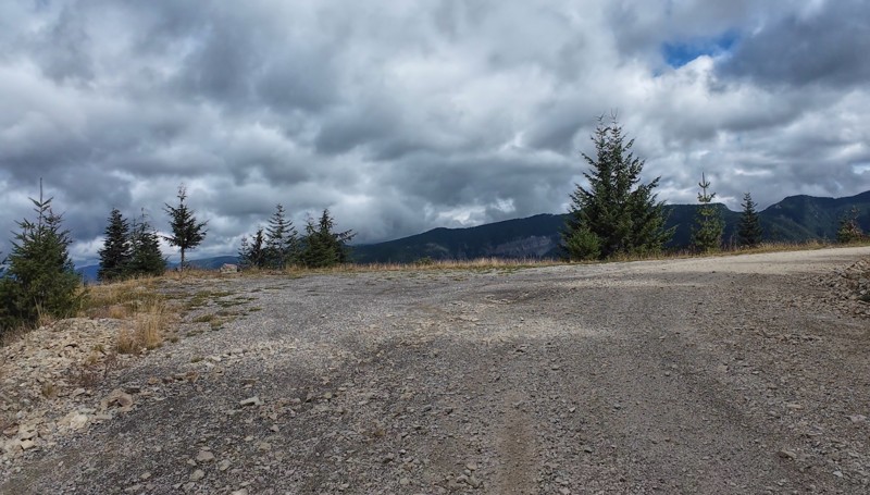
Very cool trail with multiple large campsites along the creek’s at the lower sections. Generally easy road surface with washboard areas.
John Kapelski
Official Crew
Rated 5/5
Open
Visited: 09/07/2026
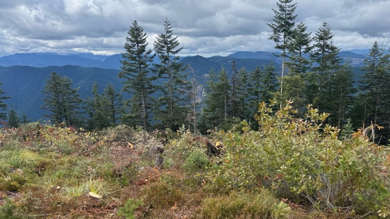
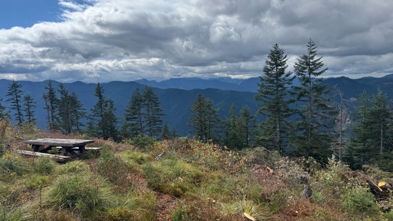
Road is easy and steep. Nice views thought the trees on the way up. Fabulous 360 degree views from the top. Cloudy days was not disappointing!
John Kapelski
Official Crew
No Rating
Open
Visited: 09/05/2026
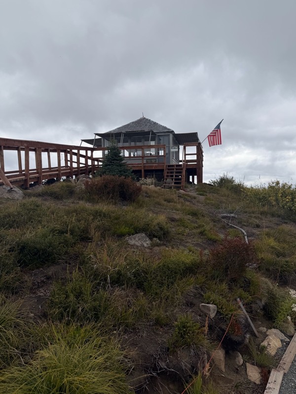
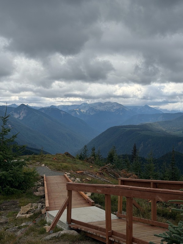
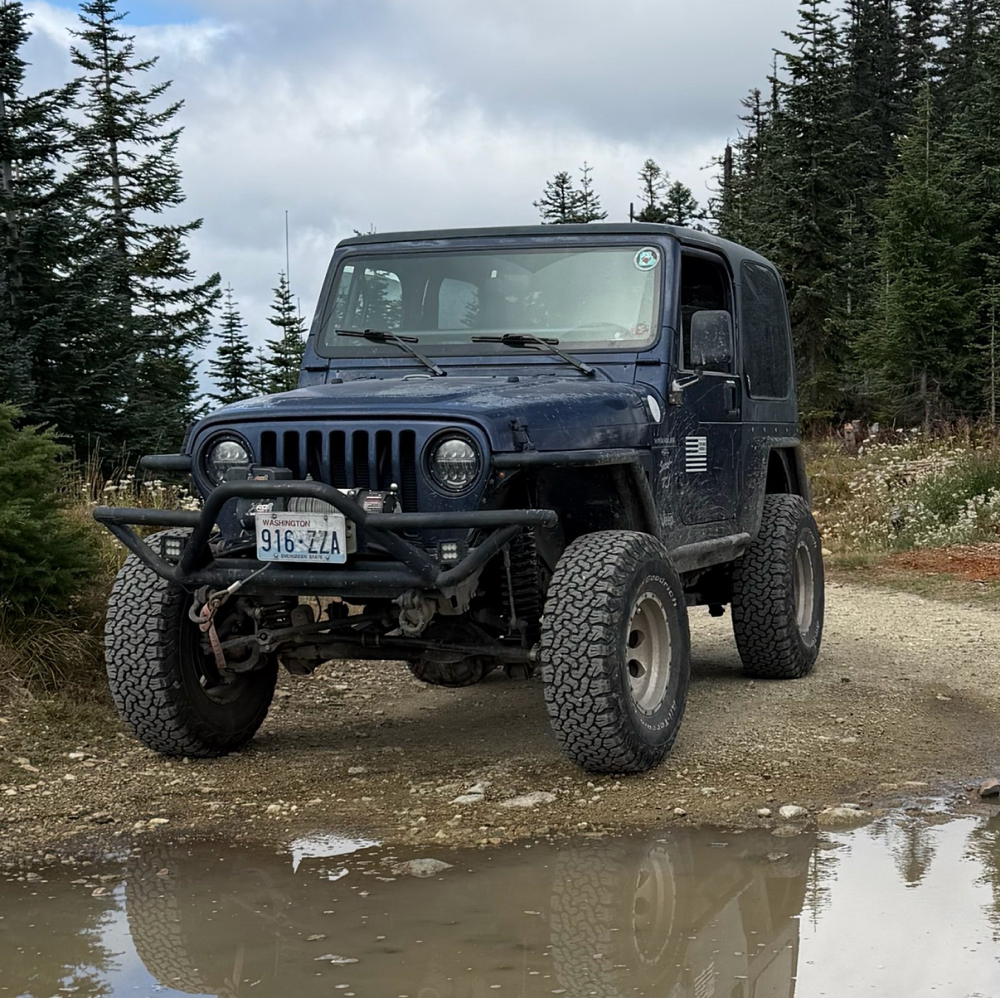
Difficult rating was spot on. Did the whole trail in 2 wheel drive. Grate views at the top
Austin Kapelski
Rated 4/5
Open
Visited: 09/05/2026
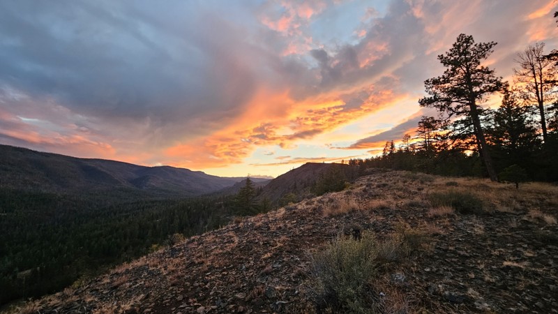
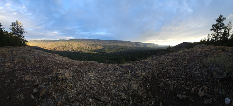
Nice quick camping trip, the campsite at the end of the road is still gorgeous, and sunsets are still pretty. the walk up to the actual devil's table is about a mile one way and 400' up, but nice view...

Ryan Wallace
Official Crew
No Rating
Seasonal Closure
Visited: 09/01/2026
According to this trails management agency, the trail is likely closed for the season.
You can reach out to the agency for more details.
Be sure to leave us a report and let us know ...

Trails Offroad
Official Crew
Rated 5/5
Open
Visited: 08/29/2026
Fun track with two people who have done this before and two, who haven't, a couple of nice waterfalls, and a good mix for everyone.
TW
Timothy Watson
No Rating
Partially Open
Visited: 08/29/2026
Tried access from North Wenas Highway at waypoint 8. Gate was posted with No Public Access. I would imagine waypoint 7 is the same as it appears to be private land???? Was not able to find access to w...
John Kapelski
Official Crew
Rated 5/5
Open
Visited: 08/28/2026
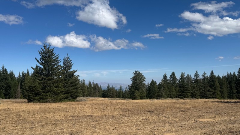
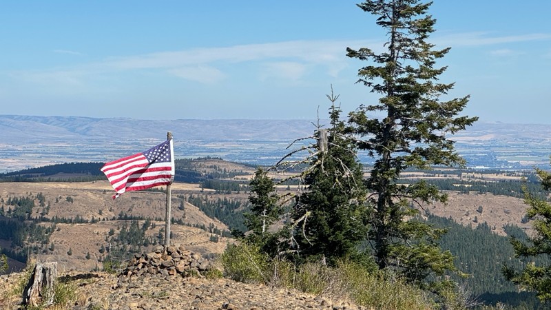
Continued from Rocky Flat,FS1701, down to Manastash Road. About 80% of the trail is down hill and never disappoints on the fun scale. More challenging that the 1701 and great views of the South Fork M...
John Kapelski
Official Crew
No Rating
Open
Visited: 08/28/2026
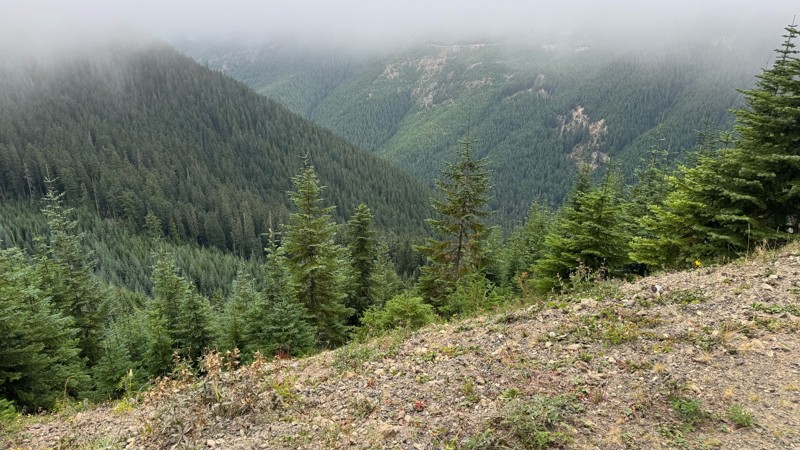
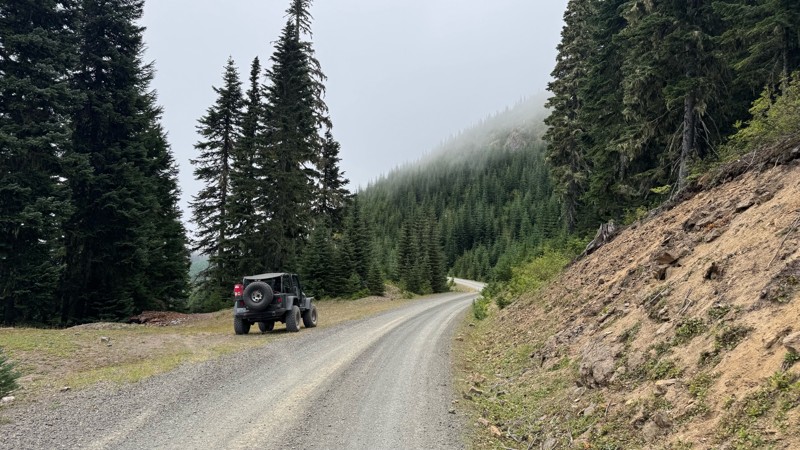
A great alternative to the Pyramid Pass route. Great camping looking over to Naches Trail
John Kapelski
Official Crew
Rated 5/5
Open
Visited: 08/28/2026
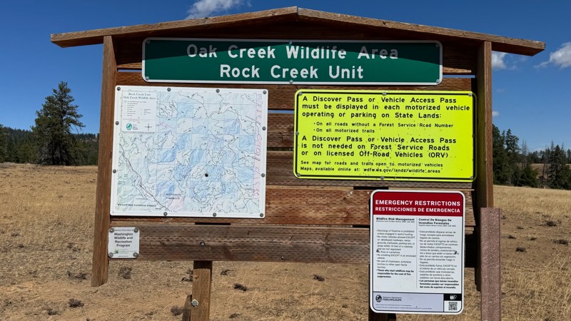
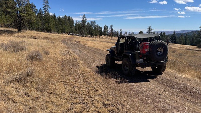
Nice dive up to waypoint 6 at five corners. Not as smooth as the initial incline but very scenic with great views to the west and east.
John Kapelski
Official Crew
No Rating
Open
Visited: 08/28/2026
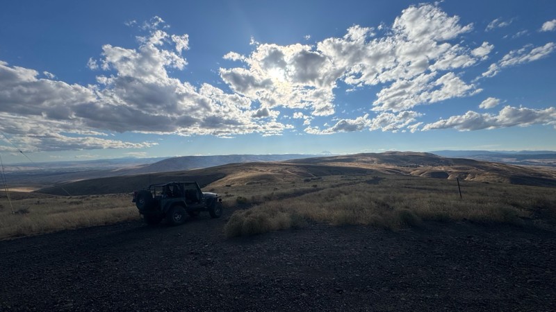
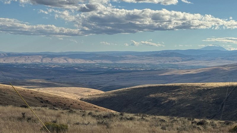
Connection area to Durr Rd and Old Durr Rd along with other trails is a bit confusing as there are “short cuts” to the same road. Umtanum Ridge is ruff. The high point is next to the towers with fant...
John Kapelski
Official Crew
No Rating
Open
Visited: 08/28/2026
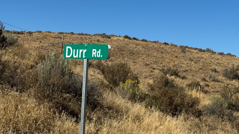
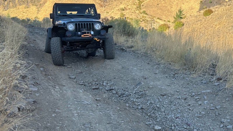
I drive this in the reverse direction of publish. Started out wide and smooth gravel surface than turned into a ruff narrow shelf road with limited places to pass. Best camping was at waypoint 3 by th...
John Kapelski
Official Crew
Rated 4/5
Open
Visited: 08/28/2026
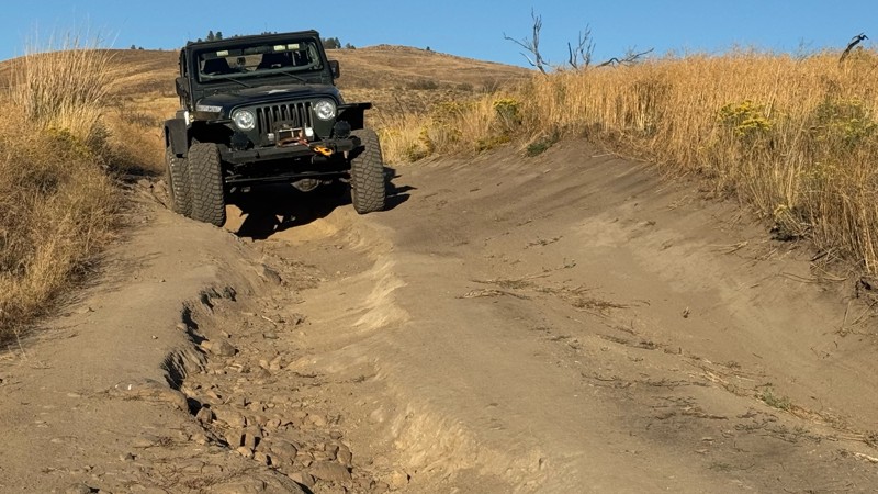
Waypoint 4-5 has changed due to water run off by exposing more rock face and creating deep ruts.
Large flat campsite next to waypoint 4, go straight before making the turn. It is the only site that ...
John Kapelski
Official Crew
Rated 4/5
Open
Visited: 08/28/2026
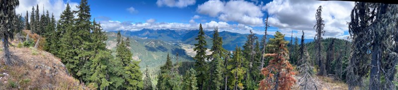
Incredible view on top! Unfortunately saw a group packing up camp on our way up and on our return down they had left lots of trash and a fire still burning during extreme fire danger and burn ban! We ...
J
Jason
Rated 4/5
Open
Visited: 08/20/2026
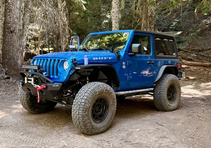
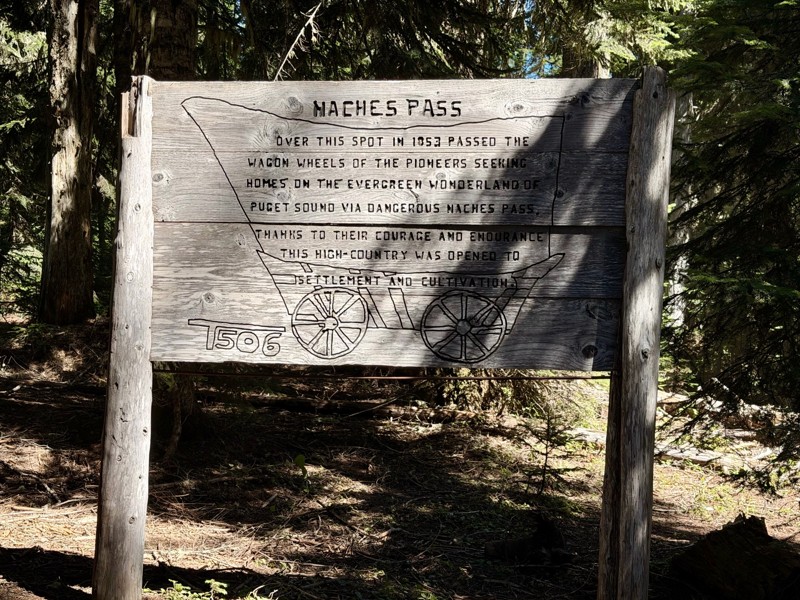
The trail is in great shape minus the section where the bridge is down. Ran into 1 other vehicle a SxS going east we were headed west. At the PCT cabin we talked to 4 through hikers refueling themselv...
CD
Carl Duester
No Rating
Open
Visited: 08/20/2026
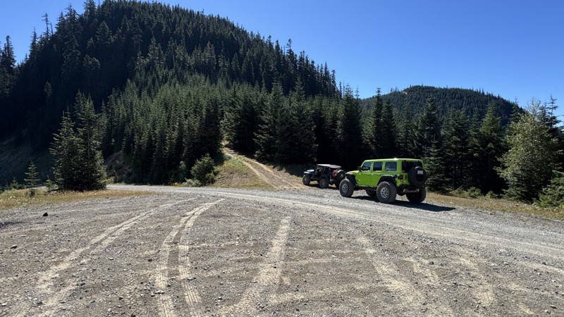
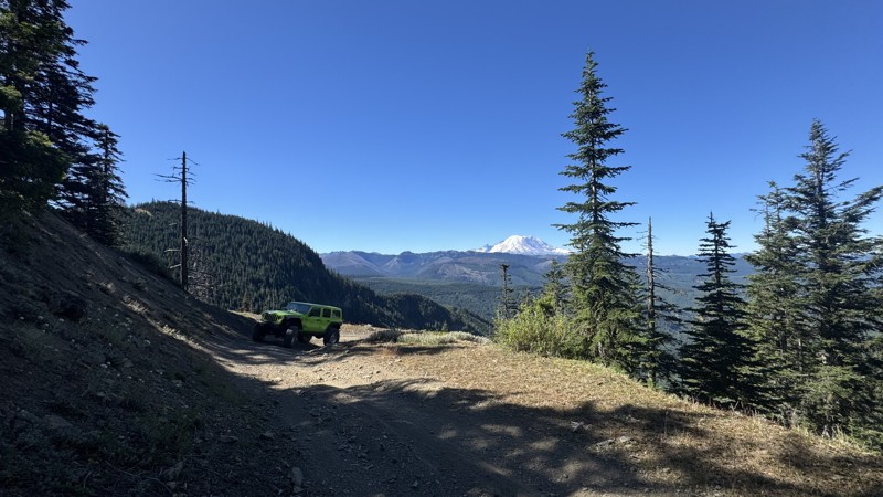
This road system offers continuous views of Mount Rainier to the south while climbing toward the rugged peaks of the northern Cascade Range. This short, enjoyable trail is well worth the few extra mi...
John Kapelski
Official Crew
Rated 3/5
Open
Visited: 08/17/2026
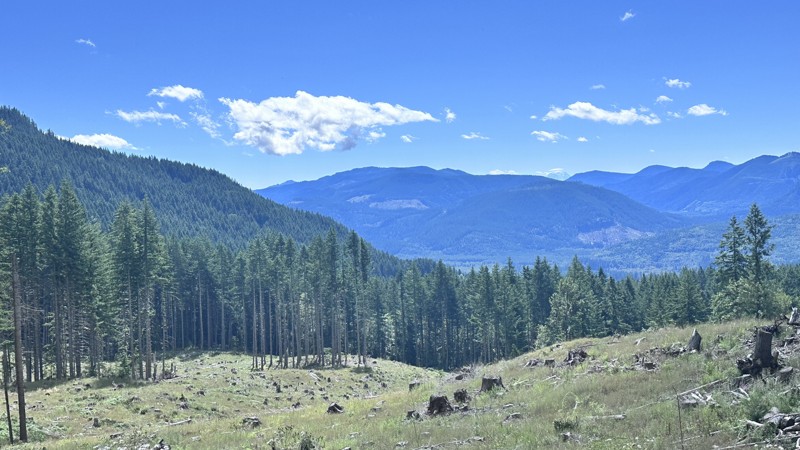
5 Road is exactly that a dirt road. Any 2WD vehicle can easily negotiate this trail. This trail is trailer friendly, but some of the tight turns are not suitable for longer trailers/campers. There are...

Eric Gartin
Official Crew
Rated 5/5
Open
Visited: 08/16/2026
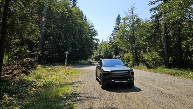
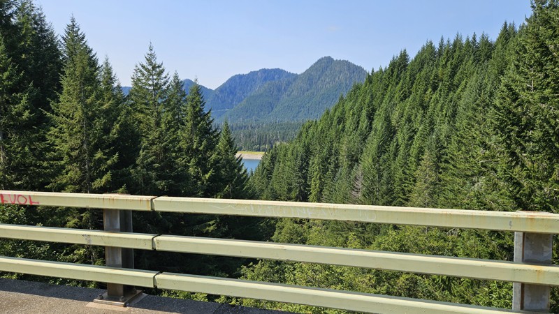
Our trip around the Wynoochee Loop was a mix of incredible scenery and some pretty technical driving. Traveling counterclockwise, we really felt the challenge starting on the final climb to the peak. ...
Ryan Wallace
Official Crew
Rated 5/5
Open
Visited: 08/15/2026
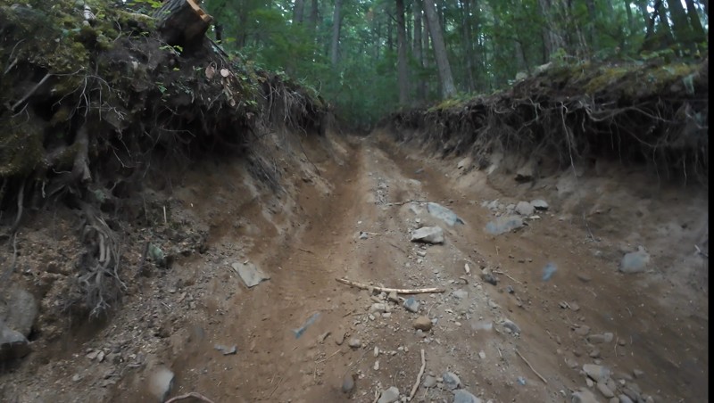
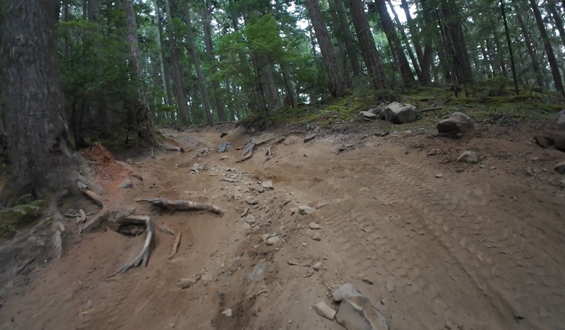
Wonderful day!!!!! Meet a two fellas doing their first trail ever. Shame on me for getting more photos. They had a BLAST!!!!! Hope to see them again.
John Kapelski
Official Crew
No Rating
Open
Visited: 08/11/2026
Per the MVUM, the trail is seasonally open. As always, check current fire restrictions/closures before venturing out.
Trails Offroad
Official Crew
No Rating
Open
Visited: 08/11/2026
Per the MVUM, the trail is seasonally open. As always, check current fire restrictions/closures before venturing out.
Trails Offroad
Official Crew
No Rating
Open
Visited: 08/11/2026
Per the MVUM, the trail is seasonally open. As always, check current fire restrictions/closures before venturing out.
Trails Offroad
Official Crew
No Rating
Open
Visited: 08/11/2026
Per the MVUM, the trail is seasonally open. As always, check current fire restrictions/closures before venturing out.
Trails Offroad
Official Crew
No Rating
Open
Visited: 08/11/2026
Per the MVUM, the trail is seasonally open. As always, check current fire restrictions/closures before venturing out.
Trails Offroad
Official Crew
No Rating
Open
Visited: 08/11/2026
Per the MVUM, the trail is seasonally open. As always, check current fire restrictions/closures before venturing out.
Trails Offroad
Official Crew
No Rating
Open
Visited: 08/11/2026
Per the MVUM, the trail is seasonally open. As always, check current fire restrictions/closures before venturing out.
Trails Offroad
Official Crew
No Rating
Open
Visited: 08/11/2026
Per the MVUM, the trail is seasonally open. As always, check current fire restrictions/closures before venturing out.
Trails Offroad
Official Crew
No Rating
Open
Visited: 08/11/2026
Per the MVUM, the trail is seasonally open. As always, check current fire restrictions/closures before venturing out.

Todd
Official Crew
No Rating
Open
Visited: 08/11/2026
Per the MVUM, the trail is seasonally open. As always, check current fire restrictions/closures before venturing out.
Todd
Official Crew
No Rating
Open
Visited: 08/11/2026
Per the MVUM, the trail is seasonally open. As always, check current fire restrictions/closures before venturing out.
Todd
Official Crew
No Rating
Open
Visited: 08/11/2026
Per the MVUM, the trail is seasonally open. As always, check current fire restrictions/closures before venturing out.
Todd
Official Crew
No Rating
Open
Visited: 08/11/2026
Per the MVUM, the trail is seasonally open. As always, check current fire restrictions/closures before venturing out.
Todd
Official Crew
No Rating
Open
Visited: 08/11/2026
Per the MVUM, the trail is seasonally open. As always, check current fire restrictions/closures before venturing out.
Todd
Official Crew
No Rating
Open
Visited: 08/11/2026
Per the MVUM, the trail is seasonally open. As always, check current fire restrictions/closures before venturing out.
Todd
Official Crew
No Rating
Open
Visited: 08/11/2026
Per the MVUM, the trail is seasonally open. As always, check current fire restrictions/closures before venturing out.
Todd
Official Crew
No Rating
Open
Visited: 08/11/2026
Per the MVUM, the trail is seasonally open. As always, check current fire restrictions/closures before venturing out.
Todd
Official Crew
Todd
Official Crew
Todd
Official Crew
No Rating
Temporary Closure
Visited: 08/11/2026
Closed due to the Sinlahekin fire.
Todd
Official Crew
No Rating
Open
Visited: 08/11/2026
Per the MVUM, the trail is seasonally open. As always, check current fire restrictions/closures before venturing out.
Trails Offroad
Official Crew
No Rating
Open
Visited: 08/11/2026
Per the MVUM, the trail is seasonally open. As always, check current fire restrictions/closures before venturing out.
Trails Offroad
Official Crew
Most Popular

Updated: 09/10/2026
Twenty-Eight Mile Creek
Snoquera, Washington
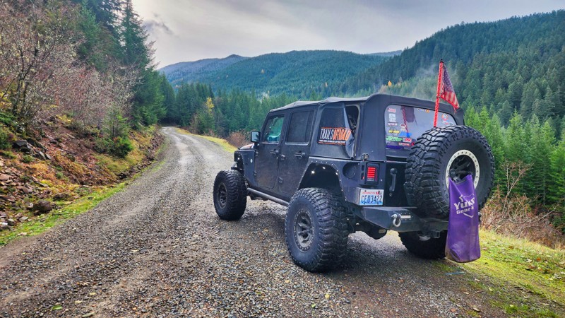
Twenty-Eight Mile Creek starts on FS-70 just past the shooting pit and travels just over 14 miles to an elevation of 4800 feet. The road then reconnects with WA Highway 410, creating a large loop. The scenery that unfolds on Twenty-Eight Mile Creek is nothing short of awe-inspiring, offering an opportunity to immerse oneself in the awe-inspiring beauty of nature's untouched splendor. This captivating road unveils breathtaking vistas of a concealed valley. While no campsites are along the road, many spur roads undoubtedly lead to lookouts and fantastic camping opportunities.
Updated: 08/27/2024
Whistler Creek Road
Greenwater, Washington
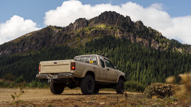
Whistler Creek Road is the first trail in the Stampede Pass Overland Route and features the Kelly Butte Lookout. The lookout was first built in 1926, then replaced in 1950, and manned until the 1980s. Today, it’s a one-mile-long hike to the lookout, with views of Mt. Rainier, Mt. Baker, and Mt. Stuart. The drive ends with a pair of secluded dispersed campsites with great views of their own. Stampede Pass Route is a 32-mile mountain pass through the Cascade Range, just south of Snoqualmie Pass in Washington. The pass was created to service railroads that traversed the Cascade Mountains. Today, it covers several well-maintained forest roads with ample room and views throughout.
Updated: 10/15/2024
Gold Creek Road / FS-1703
Pinecliff, Washington
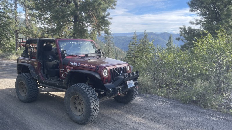
Gold Creek Road, also known as FS-1702, is a primitive dirt road that travels north into the Manastash trail system. The beginning has a "Bridge-out / Road Closed in 2 miles" sign. However, a 4x4 trail cuts into the ravine taking you down and around the washout. Any 4x4 vehicle will be comfortable on this detour. The trail climbs to 5400 feet and connects with FS-1721/1722. The views along Gold Creek Road are spectacular. There are many off-shoot roads that provide primitive camping and lookouts.
Updated: 07/14/2024
Ruby Grade
Conconully, Washington
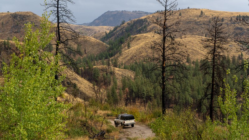
Ruby Grade is a slightly challenging trail with local mining history. It begins east of the Okanogan-Wenatchee National Forest, about 4 miles south of Conconully, and 12 miles north-west of Okanogan. The trail is a little rough with a steep descent but offers beautiful views of the surrounding peaks and valleys. At the bottom of the trail is what remains of the town of Ruby. Ruby was constructed in 1886 and had been the center of the Okanogan County silver boom. However, when the price of silver dropped in 1893, the town was abandoned overnight, and now all that now remains are the stone foundations. This is an enjoyable drive, and great addition to the history found in Loup Loup Canyon Road.
This trail is part of the Washington Cascade Overland Route. Visit Overlanding Across Washington for more information, including which trails to take next.
Updated: 10/02/2023
Slate Peak
Mazama, Washington
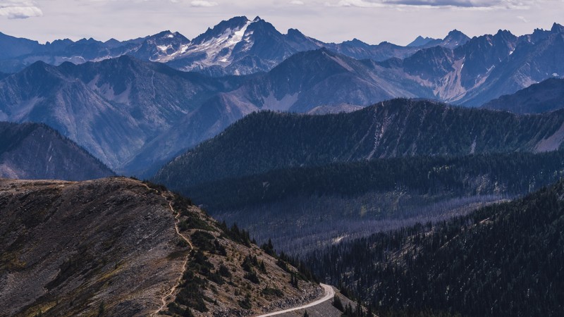
At over 7,000 feet, Slate Peak is the highest road in the state of Washington, as well as the home to the highest fire lookout. The lookout was initially created in 1924 as a gable-roof cupola, before being removed for other use. In 1956, the peak was reduced by 41 feet and leveled to build a radar station for the Air Force during the Cold War. However, the station was never built, and what now remains is a concrete slab, with an emergency use fire tower standing 41 feet tall. The road also passes near the Pacific Crest Trail, as well as other hiking and horseback trails. With spectacular views of the surrounding mountains, Slate Peak is an intense trail you won’t soon forget.
Updated: 09/09/2023
NF-1711
Nile, Washington
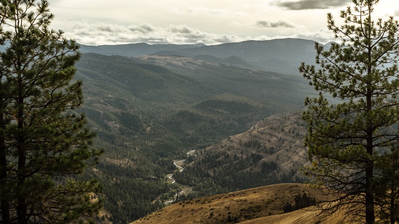
NF-1711 begins outside of the Okanogan-Wenatchee National Forest and continues to weave in and out of the forest before arriving at the intersection of NF-1712. After leaving the residential area near the trailhead, the route takes you on a dusty, gravel road mingling among surrounding trees and brush. There is a bit of a climb early on, where rocks in the road get slightly larger. While 4-low is not required, it may be adventitious here, allowing you to travel more slowly over the steep, rocky terrain. For this reason, a car with street tires will have a difficult time, and the rocks may damage the sidewall, leading to punctures. A stock 4X4 with appropriate tires won’t have difficulties.
Dispersed camping is available on this trail as well. Some sites will reward you with a wonderful view of the valley below. If you have been following the overland route, you’ll see Rattlesnake Creek; where you had passed about an hour ago on either NF-1500 or Meloy Canyon Road.
This trail is part of the Washington Cascade Overland Route. Visit Overlanding Across Washington for more information, including which trails to take next.
Updated: 04/10/2024
NF-24 Connector
Trout Lake, Washington
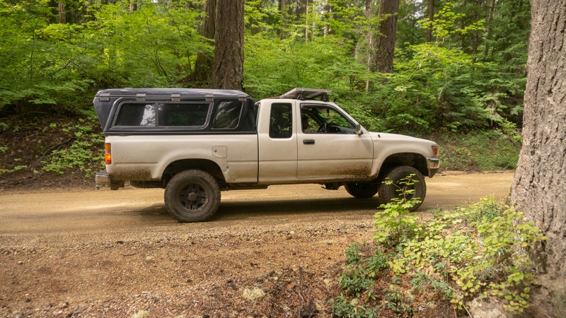
NF-024 takes you away from the Natural Bridges and Guler Ice Caves, and back into the wilderness of the Gifford Pinchot National Forest. There is a large area of dispersed camping at Waypoint 8. Heading mostly north, you’ll reach the intersection of NF-024 and NF-8821 after nearly 4 miles, near Deadhorse Meadow.
This trail is part of the Washington Cascade Overland Route. Visit Overlanding Across Washington for more information, including which trails to take next.
Updated: 04/22/2024
Bethel Overlook
Naches, Washington
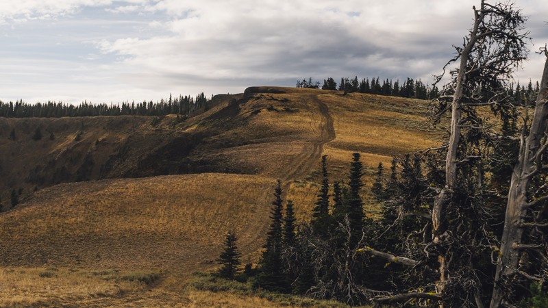
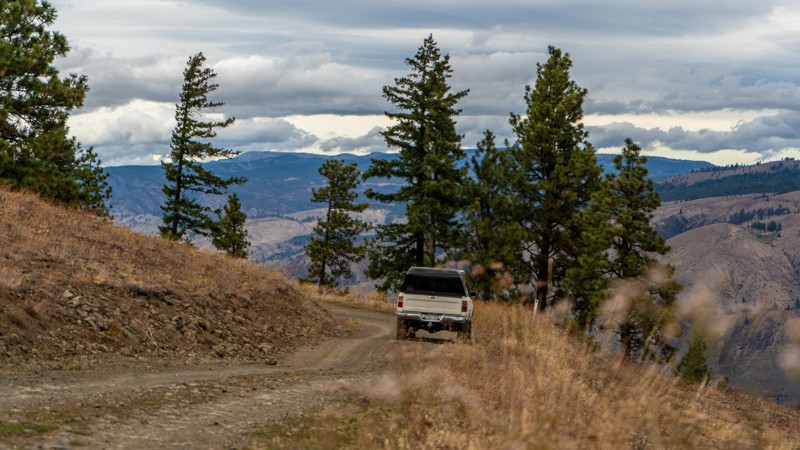
The views of Bethel, but with twice the challenge! Following the great scenery of Bethel Ridge, a new perspective can be found after a short trek through the trees, and a calm drive to Bethel Overlook. After the views, the trail takes on a more aggressive persona, with a loose and rocky surface, and steep drops. This trail would be great for adding an additional challenge to an overlanding trip, though it may be best kept for a day trip. Whether you seek views, adventure, or challenges, you’ll find them all on Bethel Overlook.
This trail is part of the Washington Cascade Overland Route. Visit Overlanding Across Washington for more information, including which trails to take next.
Updated: 08/14/2023
Meloy Canyon Road
Naches, Washington
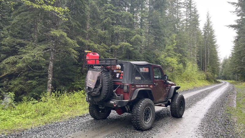
Meloy Canyon Road is a connecting road between the town of Nile, and the local favorite, Bethel Ridge. The trail is far less open than the connected R-1000 and does have some narrow portions, with light ridgeling driving. Pullouts are present, and negotiating with other drivers shouldn’t be difficult. The trees become denser the further down you travel, though not as lush as the forests to the south. After a descent of nearly 2,100 feet, Meloy Canyon Road ends at the intersection of Bethel Ridge Road/NF-1500. From there, it’s a short drive into Nile.
This trail is part of the Washington Cascade Overland Route. Visit Overlanding Across Washington for more information, including which trails to take next.
Updated: 10/15/2024
FS 85
Ashford, Washington
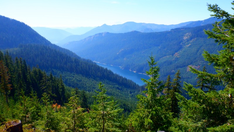
In the Gifford Pinchot National Forest near Ashford, WA, FS 85 starts as a well-traveled track through lush old-growth forest and travels 22.5 miles to over 4400 feet. This is a significant logging road, so please watch for any logging activity. The first part of the road is paved, but no maintenance has been done since an earthquake in 1995, so the road heaves and pitches in spots. The trail turns to gravel and is very well maintained. About nine miles in, the road becomes more primitive, with a few partial washouts that have been marginally repaired. A 4x4 vehicle is required. Once at the top, the road winds into a beautiful valley and intersects with FS-47. No significant camping areas are directly on this road, but many connecting roads undoubtedly lead to fantastic views, providing excellent camping opportunities. You can expect snow in the upper elevations past 3600 feet in the late fall and early summer, stretching well into July.
Updated: 10/15/2024
NF-4617
Snoqualmie Pass, Washington
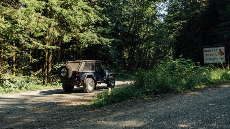
NF-4617 climbs about 1000 feet from the valley below. The trail starts on NF-4600 and travels about 4 miles to a dead end. Towards the end of the road, it does get a little thick so expect some pinstriping. The views and camping spots that this road affords are worth the effort. The lake seen below from the lookouts is Kachess Lake.
Updated: 06/23/2024
Slab Camp Road
Sequim, Washington
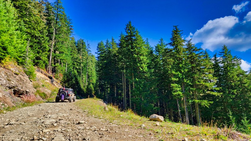
The Olympic National Forest and Buckhorn Wilderness area have an abundance of forest roads, hiking trailheads, and campsites. It encompasses 258 acres of land and is the largest Wilderness Area of the Olympic National Forest. The terrain can be quite steep, ranging from 1,000 feet near the Gray Wolf River to the summit of Mt. Fricaba, at an elevation of 7,134 feet. Slab Camp Road is a connecting road that brings you away from Highway 101 deeper into the northwest portion of the Olympic National Forest and also give you access to the Buckhorn Wilderness area, This is a great road to use as a gateway into this incredible area.
Updated: 10/22/2025
High Rock
Ashford, Washington
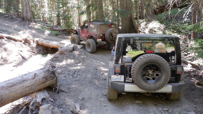
High Rock, FS 8440, located in the Gifford Pinchot National Forest a few miles south of Ashford, Washington, takes you to two popular hiking trails, High Rock #266 and Greenwood Lake #253. These top-rated hiking trails climb to even higher elevations. This straight-through road connects FS-85 and FS-84, climbing through lush old-growth forests to its highest elevation of 4308 feet, with beautiful views of the surrounding peaks and valleys below. At the top of the climb is a large parking area with stunning views of the cascades to the east.
There is one camping spot about two miles in on the road, but many side roads offer different camping areas.
The road has water runoff damage, but the effects are minimal with a 4x4 high-clearance vehicle.
Updated: 06/15/2024
Lilly Pond
Cliffdell, Washington
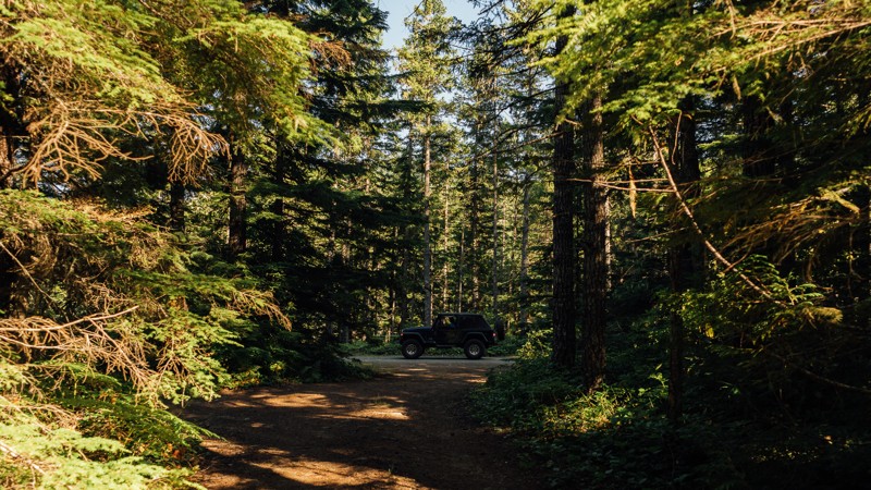
Lilly Pond, such a quaint name with images of quiet beauty and calm serene surroundings. Don't be fooled, this trail does go to Lilly Pond, where you can find that for sure, but getting there will have your senses on fire while you look out for the next stump searching for fenders or the hill climb that's just around the corner. Lilly Pond trail is located in the Okanogan - Wenatchee National Forest and is part of the Manastash Ridge ORV area. Considered a connector-type trail, Lilly Pond has a flavor all her own. With tight and twisting corners through narrow off-camber areas to hill climbs that will have you holding your breath to the top. In the early spring and late fall when the rains show up this trail will be a force to be reconned with.
Updated: 06/05/2022
Slab Camp/Deer Ridge Trail
Sequim, Washington
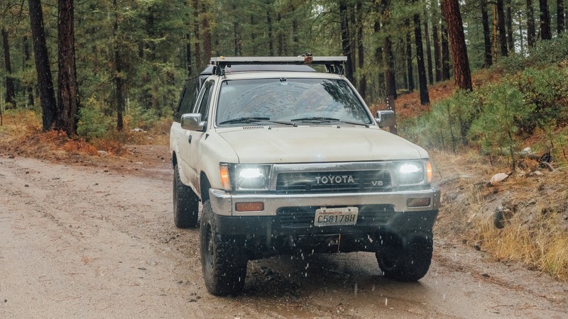
Slab Camp/Deep Ridge Trail is a connecting road that links Slab Camp Road to NF 2878 and leads to two hiking trailheads; Slab Camp Creek, and Deer Ridge Trailhead. Ned Hill These trails total in 17.5 miles of hiking and offer views of the mountain peaks, wildflowers, and river crossings. Ned Hill Trail has an old fire lookout as well, but it is not suited for climbing. The Olympic National Forest and Buckhorn Wilderness area have an abundance of forest roads, hiking trailheads, and campsites. It encompasses 258 acres of land and is the largest Wilderness Area of the Olympic National Forest. The terrain can be quite steep, ranging from 1,000 feet near the Gray Wolf River to the summit of Mt. Fricaba, at an elevation of 7,134 feet. Subalpine fir and western white pine are present at a higher elevation, and Douglas-fir, western hemlock, and red cedar grow on the lower slopes. The Gray Wolf, Dungeness, and Big Quilcene Rivers flow through the Wilderness, along with several smaller streams.
Updated: 06/08/2024
West Chiliwist Road
Twisp, Washington
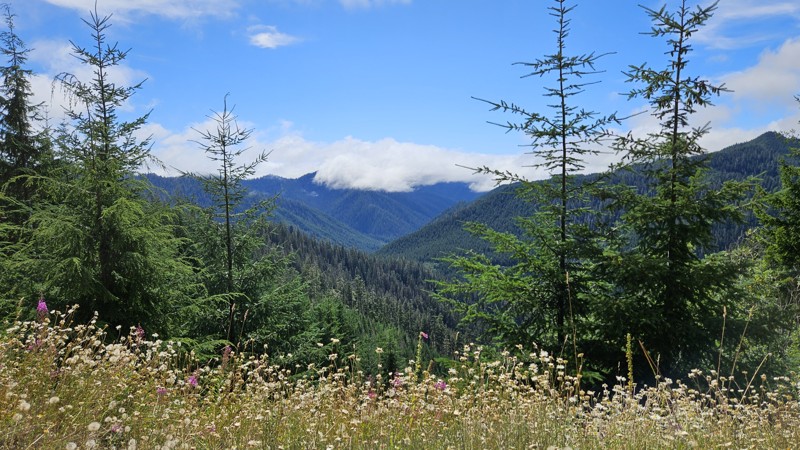
West Chiliwist is a relaxing drive through the lightly treed woods, just east of the Okanogan-Wenatchee National Forest. Beginning 20 miles east of Twisp, Washington, and 50 miles north of Chelan, Washington, this trail is a smooth drive with the occasional puddle to splash through. An easy drive, it’s a good addition to an amazing overlanding journey or a lax day trip.
This trail is part of the Washington Cascade Overland Route. Visit Overlanding Across Washington for more information, including which trails to take next.
Updated: 02/10/2025
Sitkum Sol Duc Road
Forks, Washington
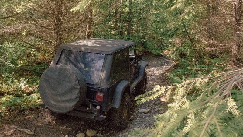
Sitkum Sol Duc Road (FS 29) has to have an amazing history. One agency has it listed as a paved road, and parts of it still are; you can even see sections where it was wide enough for 2 lanes, including the paint lines, but it's definitely fallen into disrepair due to heavy rains in the past few years. Overall, the road is in good condition, gravel for most with sections of old pavement, but the pavement is showing its age and has lost quite a bit of the base and subbase layers leaving the shoulders prone to cracking under weight.
FS29 starts near Forks and *would* take you all the way up to Highway 101 if it went all the way through. You'll start down in the rainforest with mossy trees and deep shade, continuing up until you're traversing a ridgeline with open sky and gorgeous views of the National Forest off to the side. It continues back down on the north side of the mountains but, unfortunately, has experienced some severe washout sections that are impassable down near the intersection with Bonidu Peak road. There's no way out of this portion of the road currently, so your only choice is to retrace your path all the way back out by Forks, or you can take Hole in the Wall/Hunger Repeater Road or Sitkum Sol Duc Connector to their exits further north. Camping areas are basically non-existent save for one section near the intersection of Sitkum Sol Duc Connector, but it would be difficult to stay there without impeding traffic in some way, so be courteous and plan accordingly on this road.
The Olympic National Forest has plans and a budget for repairs to FS29 and expects them to occur during the summer of 2025. Nine planned areas of repair are involved, so blockages and construction should be expected throughout that summer, with a full reopening slated for late fall.
Updated: 03/12/2026
Around the Sound
Mount Vernon, Washington
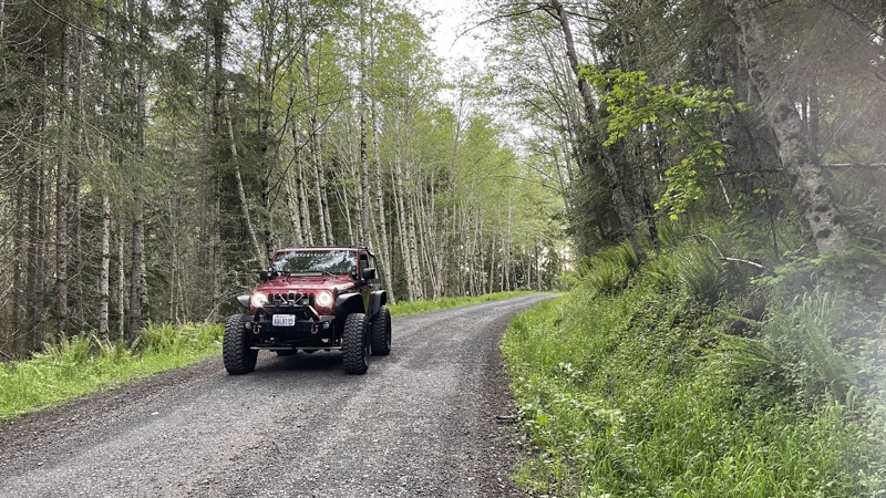
Named for a local Jeep club, Around the Sound is a light, relaxing stroll through the park, with a small rock obstacle, as well as the potential for mud. If you’re already in the park and want to keep wheeling, but need a break from the nearby, harder trails, Around the Sound will be a great addition to your day romping about in the woods. Walker Valley ORV is comprised of 3,200 acres, with twelve 4X4 trails, and several more ATV and dirt bike trails. The trails offer many challenges like rocks, roots, and ruts. These obstacles will change from season to season, with the addition of snow and rain, which can also produce large puddles and muddy stretches. From the mild to wild, Walker Valley ORV provides something for everyone.
Updated: 10/15/2024
9-Road
National, Washington
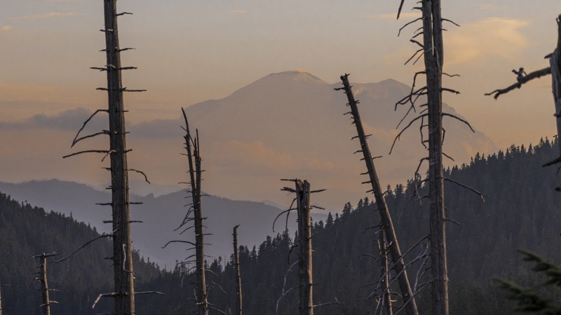
9-Road in the Elbe OHV Recreation area travels from the main parking area up to a dead-end play area for off-road vehicles. 9-Road provides access to all the marked 4x4 trails for the Elbe. There is a camping area about halfway up on the right with spaces large enough for full-size RV camping, but tents are also welcome. There are vault toilets, and each campsite has a fire pit.
Updated: 10/01/2024
Green Pass/Naches Tie
Greenwater, Washington
Green Pass/Naches Tie connects several important trails in the Stampede Pass Overland Route and ties into the Naches Trail while providing stunning views of Mt. Rainier. This section of the Mt. Baker-Snoqualmie National Forest has many camping opportunities and connects Plum Creek Road and Green Divide (South) to complete the overland experience of Stampede Pass.
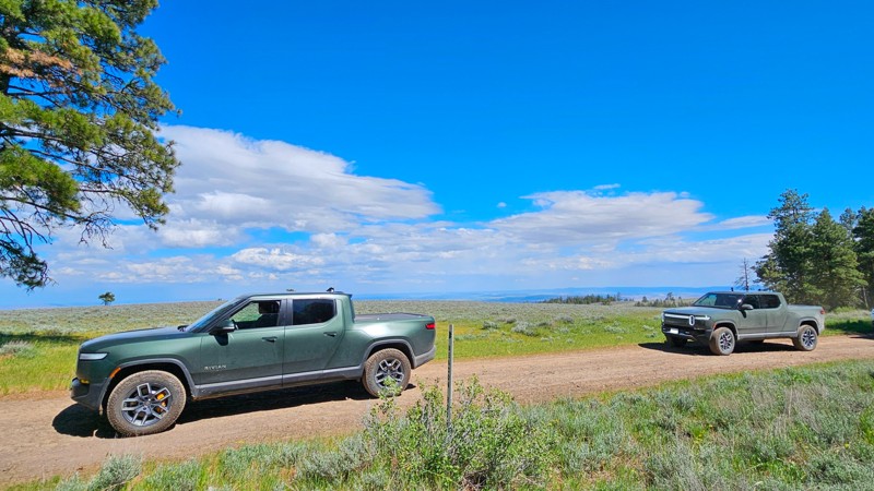
Updated: 10/15/2024
Beacon Ridge Road
Renslow, Washington
Beacon Road is a fun little rough road that starts in the Wild Horse Wind Farm in Central Washington. You'll start by driving through the wind farm near the wind turbines, which are quite impressive when you get up close. The road to each turbine is gated off, so stick to the main Beacon Road trail. As you exit the Wind Farm facility, you'll enter the Quilomene Wildlife area. Views on this road are a gorgeous mix of the best Central Washington can offer. You can expect wide expanses of open areas followed by a fun drive through trees.
On a dry day, this road offers no real complications other than occasional rough road and ruts, suitable for any vehicle with medium to high clearance, but could be run in 2wd. With rain and/or snow, this may become a very difficult or impassible route, depending on your vehicle's capabilities. There are multiple pre-existing campsite areas along the trail, many of them large enough for decently sized groups and almost all of them well spread out for privacy.
Please note that this trail is listed as Beacon Road on the local signs, but it goes by several names depending on the map source. Examples include Quilomene Ridge Road, Beacon Ridge Road, Park Creek Road, and Caribou Road.
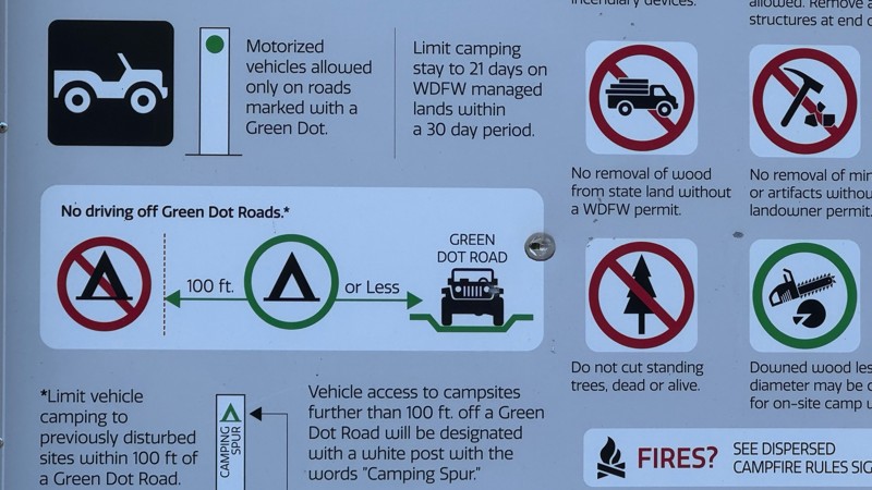
Green Dot Roads are a collaboration between DNR, the Washington Department of Fish and Wildlife, and private landowners to provide opportunities for dispersed recreation such as camping, hunting, off-road vehicle riding, and wildlife viewing. You can find current mappings that will include seasonal and other closures at https://wdfw.wa.gov/about/wdfw-lands/green-dot. A Discover Pass is required for portions of DRN land that are included in Green Dot road maps.
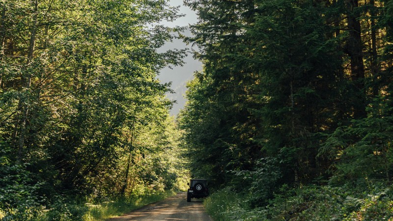
Updated: 06/05/2022
NF-2878
Sequim, Washington
NF-2878 is a connecting road that links Slab Camp Road to NF-2875, and leads to three hiking trailheads; Ned Hill, Slab Camp Creek, and Deer Ridge Trailhead.
These trails total in 17.5 miles of hiking and offer views of the mountain peaks, wildflowers, and river crossings. Ned Hill Trail has an old fire lookout as well, but it is not suited for climbing. The Olympic National Forest and Buckhorn Wilderness area have many more forest roads, hiking trailheads, and campsites, that are accessible through other connecting roads.
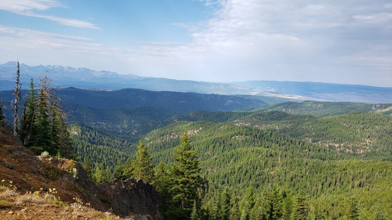
Updated: 07/15/2024
Frost Mountain
Ellensburg, Washington
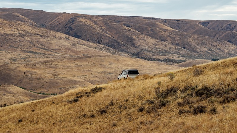
Frost Mountain is a short trail in the Okanogan-Wenatchee National Forest. This area is well known for offroading and camping most of the year. Frost Mountain leads to a wonderful lookout at the top of the mountain. There is a walking trail at the end of the trail that continues on the ridge and begs for exploration. The best part about this trail has to be the views. At several points on this trail, you get to a lookout over the valley and take in the beauty of your surroundings. At the end of the trail, you sit on top of the mountain, looking over both sides. On a clear day, you can see more of the Cascade mountain range all the way into Canada, 160 miles away. The rolling hills below, flowing trees, and thriving wilderness make this the perfect place to feel on top of the world.
Updated: 09/09/2023
Newlands Road
Naches, Washington
Newlands Road begins at the end of Jones Road, on the northeast edge of the Wenas Wildlife Area. At the trailhead, you can also find dispersed camping. As you travel back into the Wildlife Area, you will encounter a gate. There will continue to be small patches of trees early in the trail, but they’ll continue to thin out afterward until they all but disappear. For the next two miles, the scenery will be mostly brush and bushes, as well as a long fence.
There is little elevation change, as the route runs along a valley. During this time, you can see Cleman Mountain behind you, as well as what lies ahead; Umtanum Ridge. The trees return as you cross Wenas Creek, allowing for more and better dispersed camping. Once you reach the end, you’ll arrive at North Wenas Road. From there, you’ll want to turn right to head to Naches for fuel and supplies, or head left toward Wenas, to continue the overland route.
This trail is part of the Washington Cascade Overland Route. Visit Overlanding Across Washington for more information, including which trails to take next.

Upgrade your Membership
Unlock all of the details on every Trail Guide and Scout Route.
Start a 7-day Free TrialCommunity
Partners

