


By clicking "ACCEPT", you agree to be the terms and conditions of each policy linked to above. You also agree to the storing of cookies on your device to facilitate the operation and functionality of our site, enhance and customize your user experience, and to analyze how our site is used.
Washington Off-Road Trails
187
Total Trail Guides 183

1735
Detailed Waypoints 156
Try a Free 7-Day Trial and unlock it all
Start a Free Trial Most Recent Trail Reviews
Rated 5/5
Open
Visited: 09/20/2026
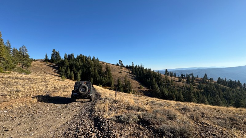
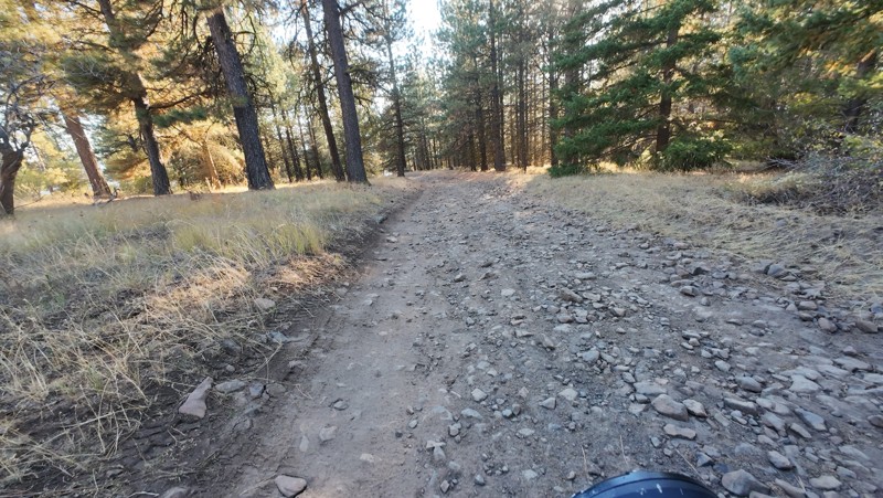
Traveled down from NS1712. The NS1711 is steep and loose gravel into the lower section along the hill side where the road surface becomes more level with gravel surface. Fantastic views from the top ...


John Kapelski
Official Crew
No Rating
Open
Visited: 09/19/2026
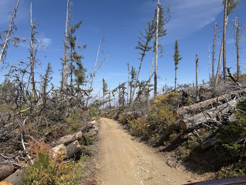
I drove this trail from the Wenatchee side all the way to Table Mountain Road in a Wrangler Rubicon. The Mission Ridge area had a couple of deep washouts on a narrow section of the road that were slo...
TS
Tom Stephens
Rated 4/5
Open
Visited: 09/13/2026
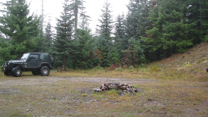
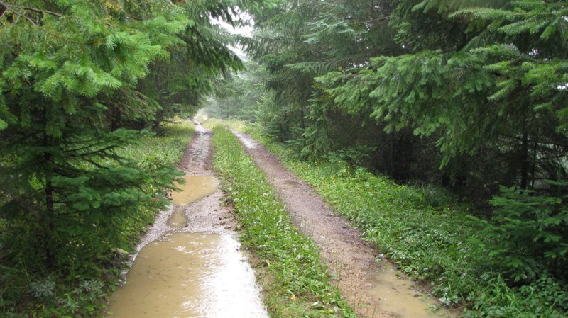
Easy hill climb to three very nice camp sites. Enclosed tree branches will provide compilatory light pinstriping and a mirror adjustment. First camp provides the most room for a group. Small trailer f...
John Kapelski
Official Crew
Rated 4/5
Open
Visited: 09/13/2026
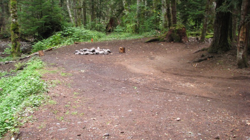
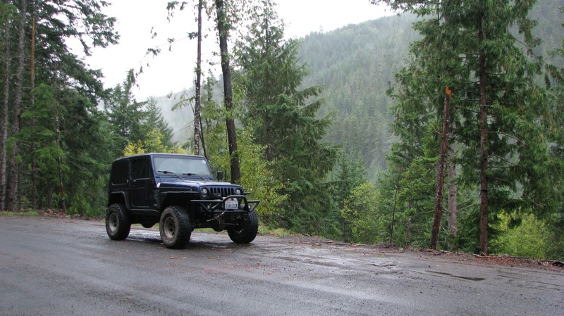
Short and sweet, Midnight Creek is an enjoyable drive through the forest at lower elevations. A dense canopy provides plenty of cool shade while the lush vegetation and abundant mountain runoff showca...
John Kapelski
Official Crew
Rated 5/5
Open
Visited: 09/13/2026
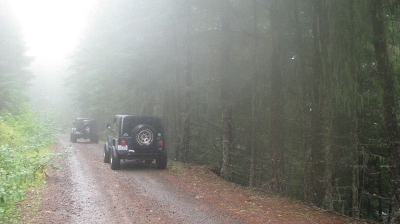
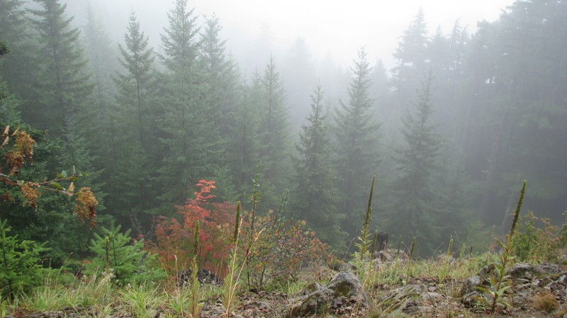
What a gem of a road! Even beneath the clouds, the route offers beautiful scenery, with early fall colors beginning to emerge and mist drifting through the surrounding mountains and forest of moss cov...
John Kapelski
Official Crew
Rated 1/5
Open
Visited: 09/13/2026
Total snooze fest. The most interesting part of the trail was when I ensured the gun was loaded driving past some local tweakers. Nothing to see here, much like the rest of the BOH trails in the PNW.
Francis whitney
Rated 3/5
Open
Visited: 09/09/2026
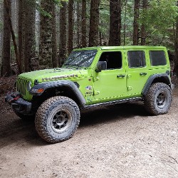
Beach access is easy and just about any vehicle can drive on the hard packed sand. A very important part that is not mentioned on the trail description is that driving on beach dunes is prohibited. Al...
Bill
Rated 5/5
Open
Visited: 09/07/2026
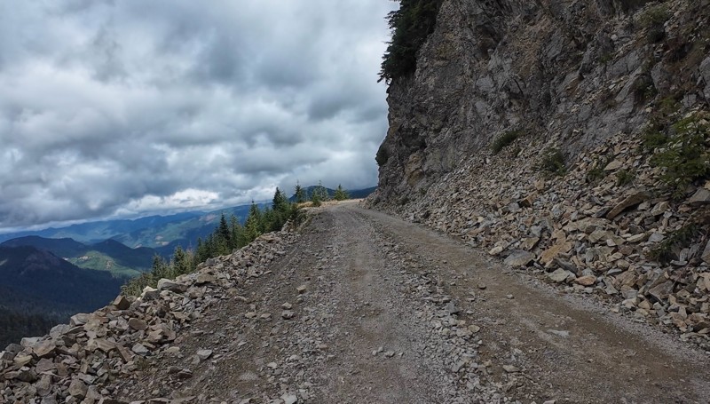
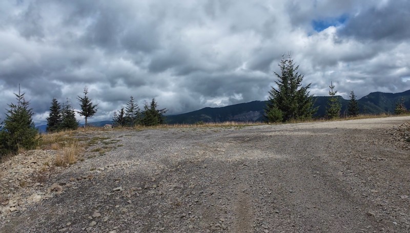
Very cool trail with multiple large campsites along the creek’s at the lower sections. Generally easy road surface with washboard areas.
John Kapelski
Official Crew
Rated 5/5
Open
Visited: 09/07/2026
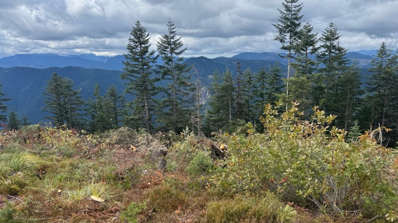
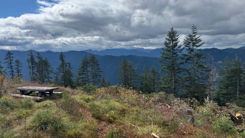
Road is easy and steep. Nice views thought the trees on the way up. Fabulous 360 degree views from the top. Cloudy days was not disappointing!
John Kapelski
Official Crew
No Rating
Open
Visited: 09/05/2026
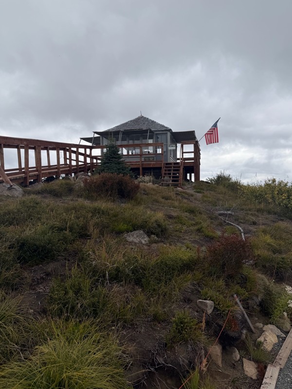
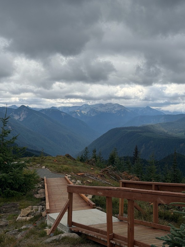
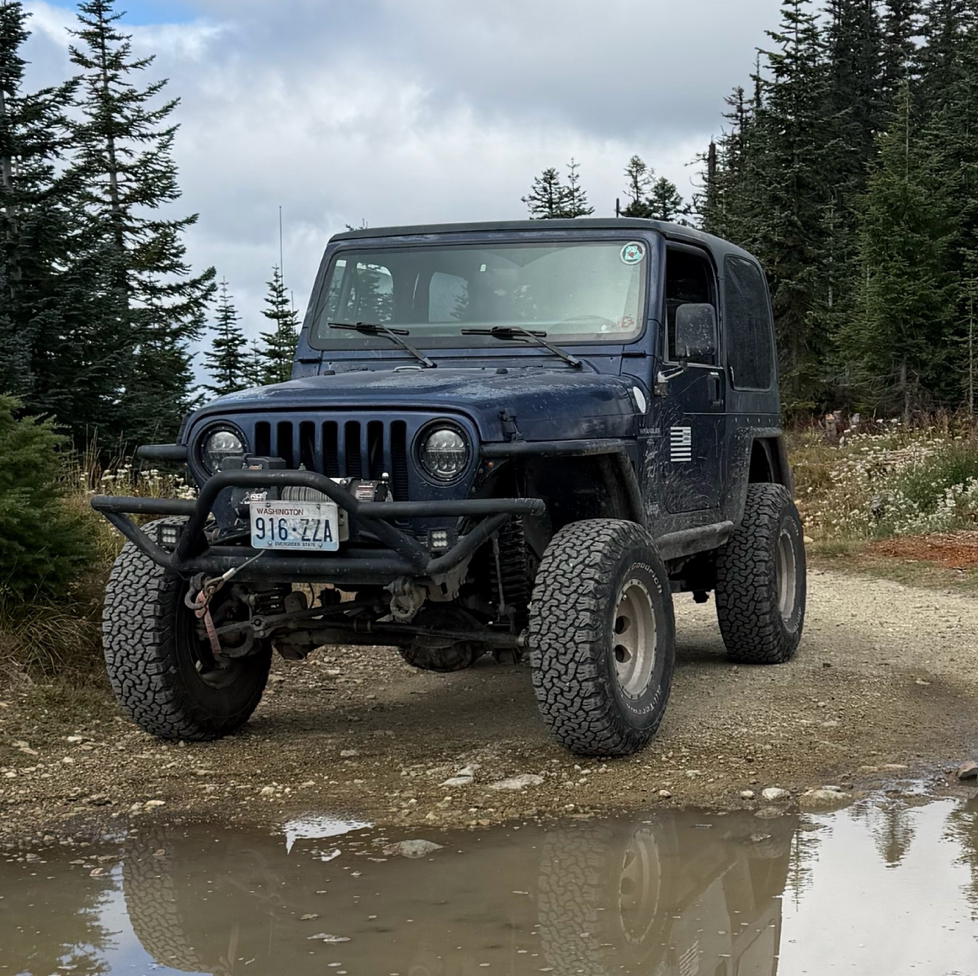
Difficult rating was spot on. Did the whole trail in 2 wheel drive. Grate views at the top
Austin Kapelski
Rated 4/5
Open
Visited: 09/05/2026
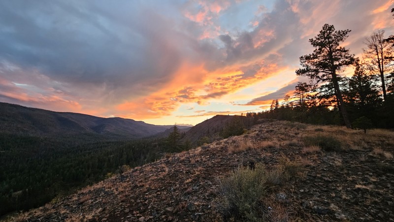
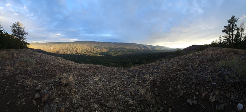
Nice quick camping trip, the campsite at the end of the road is still gorgeous, and sunsets are still pretty. the walk up to the actual devil's table is about a mile one way and 400' up, but nice view...

Ryan Wallace
Official Crew
No Rating
Seasonal Closure
Visited: 09/01/2026
According to this trails management agency, the trail is likely closed for the season.
You can reach out to the agency for more details.
Be sure to leave us a report and let us know ...

Trails Offroad
Official Crew
Rated 5/5
Open
Visited: 08/29/2026
Fun track with two people who have done this before and two, who haven't, a couple of nice waterfalls, and a good mix for everyone.
TW
Timothy Watson
No Rating
Partially Open
Visited: 08/29/2026
Tried access from North Wenas Highway at waypoint 8. Gate was posted with No Public Access. I would imagine waypoint 7 is the same as it appears to be private land???? Was not able to find access to w...
John Kapelski
Official Crew
Rated 5/5
Open
Visited: 08/28/2026
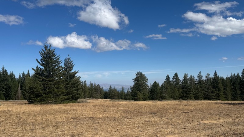
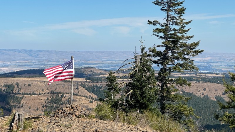
Continued from Rocky Flat,FS1701, down to Manastash Road. About 80% of the trail is down hill and never disappoints on the fun scale. More challenging that the 1701 and great views of the South Fork M...
John Kapelski
Official Crew
No Rating
Open
Visited: 08/28/2026
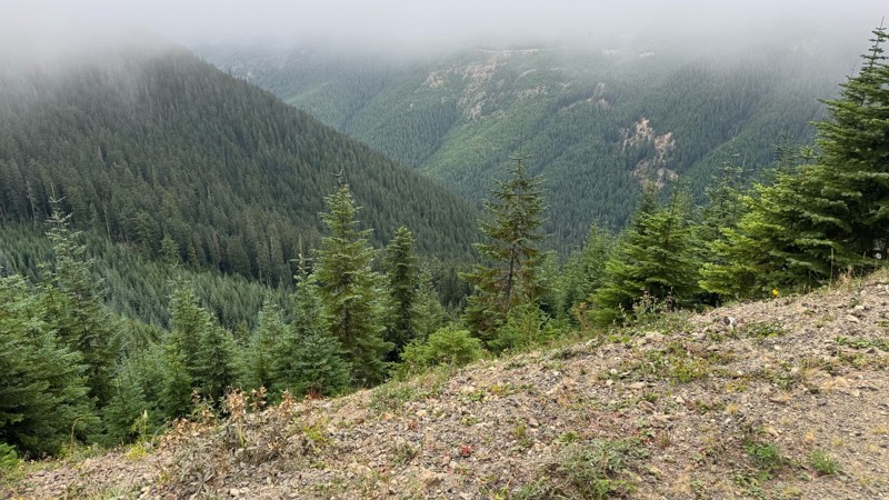
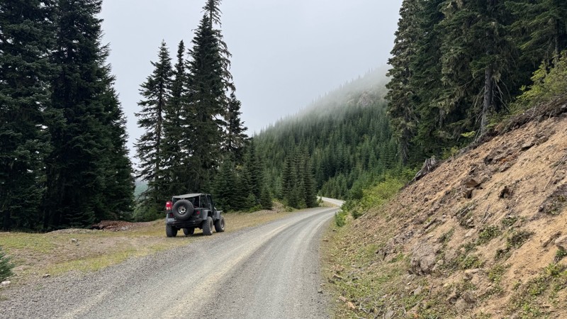
A great alternative to the Pyramid Pass route. Great camping looking over to Naches Trail
John Kapelski
Official Crew
Rated 5/5
Open
Visited: 08/28/2026
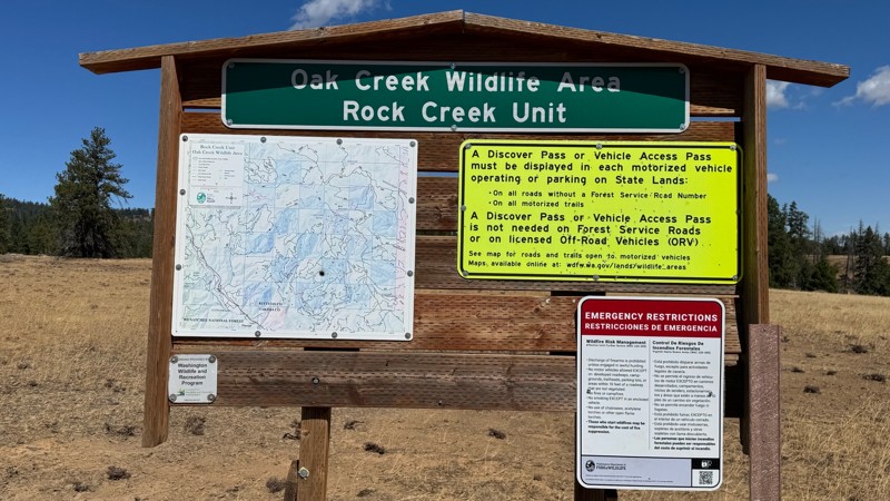
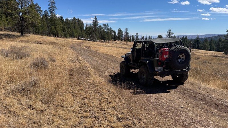
Nice dive up to waypoint 6 at five corners. Not as smooth as the initial incline but very scenic with great views to the west and east.
John Kapelski
Official Crew
No Rating
Open
Visited: 08/28/2026
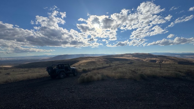
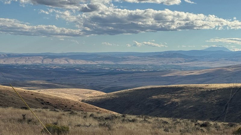
Connection area to Durr Rd and Old Durr Rd along with other trails is a bit confusing as there are “short cuts” to the same road. Umtanum Ridge is ruff. The high point is next to the towers with fant...
John Kapelski
Official Crew
No Rating
Open
Visited: 08/28/2026
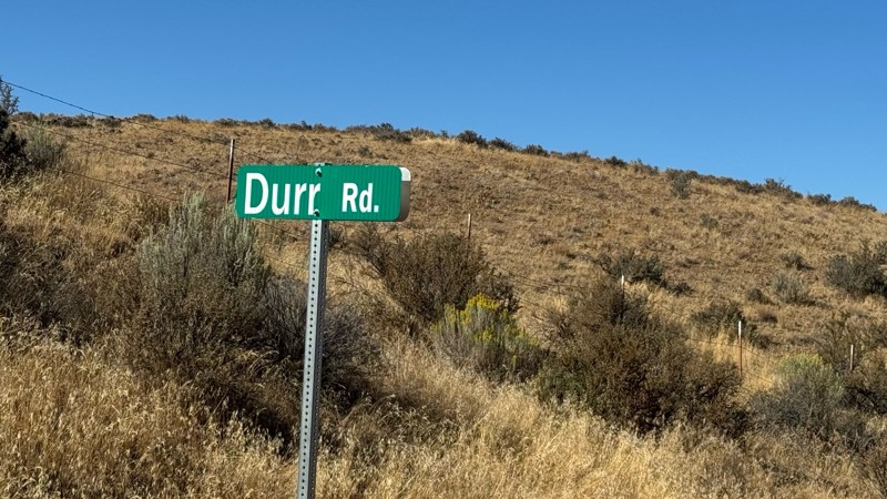
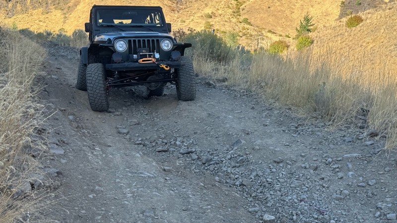
I drive this in the reverse direction of publish. Started out wide and smooth gravel surface than turned into a ruff narrow shelf road with limited places to pass. Best camping was at waypoint 3 by th...
John Kapelski
Official Crew
Rated 4/5
Open
Visited: 08/28/2026
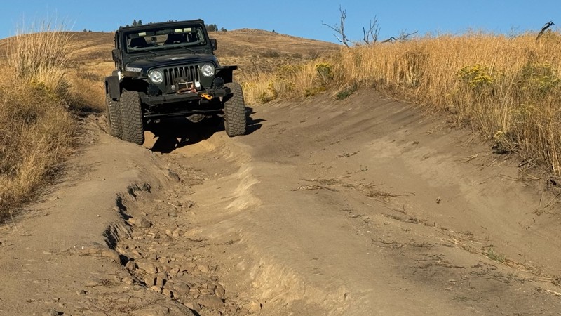
Waypoint 4-5 has changed due to water run off by exposing more rock face and creating deep ruts.
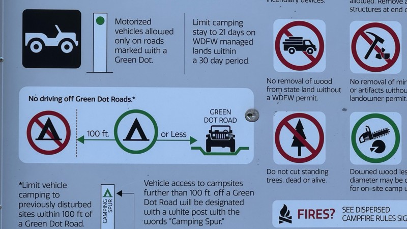
Large flat campsite next to waypoint 4, go straight before making the turn. It is the only site that ...
John Kapelski
Official Crew
Rated 4/5
Open
Visited: 08/28/2026
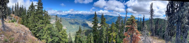
Incredible view on top! Unfortunately saw a group packing up camp on our way up and on our return down they had left lots of trash and a fire still burning during extreme fire danger and burn ban! We ...
J
Jason
Rated 4/5
Open
Visited: 08/20/2026
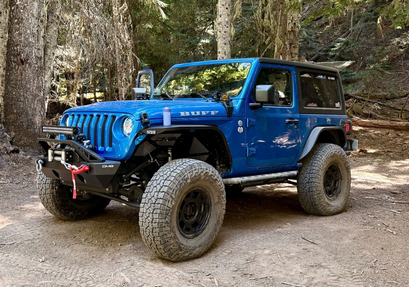
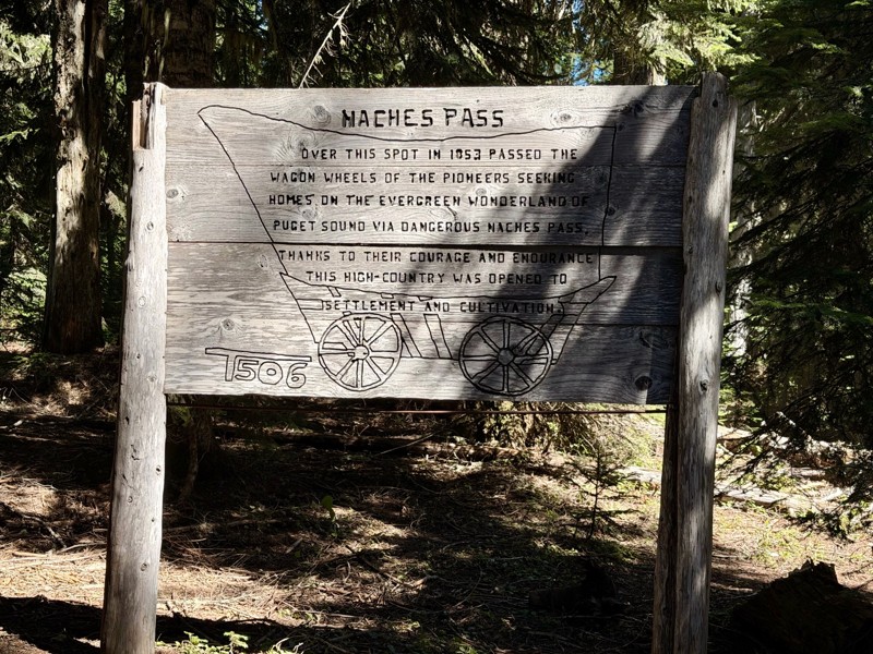
The trail is in great shape minus the section where the bridge is down. Ran into 1 other vehicle a SxS going east we were headed west. At the PCT cabin we talked to 4 through hikers refueling themselv...
CD
Carl Duester
No Rating
Open
Visited: 08/20/2026
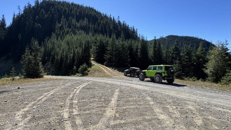
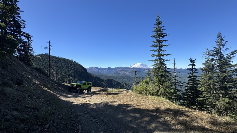
This road system offers continuous views of Mount Rainier to the south while climbing toward the rugged peaks of the northern Cascade Range. This short, enjoyable trail is well worth the few extra mi...
John Kapelski
Official Crew
Rated 3/5
Open
Visited: 08/17/2026
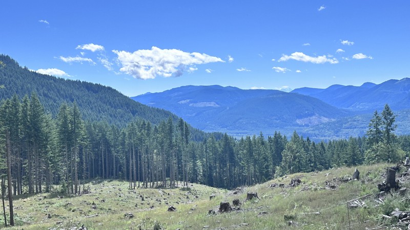
5 Road is exactly that a dirt road. Any 2WD vehicle can easily negotiate this trail. This trail is trailer friendly, but some of the tight turns are not suitable for longer trailers/campers. There are...

Eric Gartin
Official Crew
Rated 5/5
Open
Visited: 08/16/2026
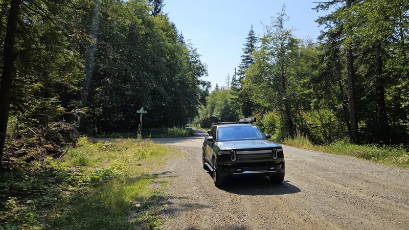
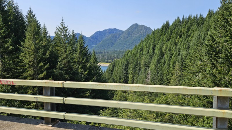
Our trip around the Wynoochee Loop was a mix of incredible scenery and some pretty technical driving. Traveling counterclockwise, we really felt the challenge starting on the final climb to the peak. ...
Ryan Wallace
Official Crew
Rated 5/5
Open
Visited: 08/15/2026
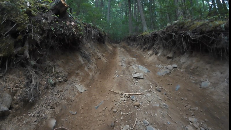
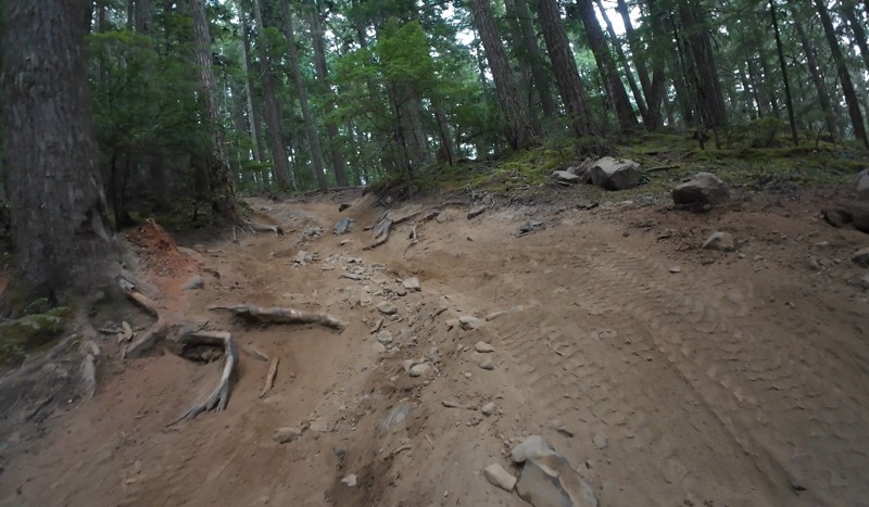
Wonderful day!!!!! Meet a two fellas doing their first trail ever. Shame on me for getting more photos. They had a BLAST!!!!! Hope to see them again.
John Kapelski
Official Crew
No Rating
Open
Visited: 08/11/2026
Per the MVUM, the trail is seasonally open. As always, check current fire restrictions/closures before venturing out.
Trails Offroad
Official Crew
No Rating
Open
Visited: 08/11/2026
Per the MVUM, the trail is seasonally open. As always, check current fire restrictions/closures before venturing out.
Trails Offroad
Official Crew
No Rating
Open
Visited: 08/11/2026
Per the MVUM, the trail is seasonally open. As always, check current fire restrictions/closures before venturing out.
Trails Offroad
Official Crew
No Rating
Open
Visited: 08/11/2026
Per the MVUM, the trail is seasonally open. As always, check current fire restrictions/closures before venturing out.
Trails Offroad
Official Crew
No Rating
Open
Visited: 08/11/2026
Per the MVUM, the trail is seasonally open. As always, check current fire restrictions/closures before venturing out.
Trails Offroad
Official Crew
No Rating
Open
Visited: 08/11/2026
Per the MVUM, the trail is seasonally open. As always, check current fire restrictions/closures before venturing out.
Trails Offroad
Official Crew
No Rating
Open
Visited: 08/11/2026
Per the MVUM, the trail is seasonally open. As always, check current fire restrictions/closures before venturing out.
Trails Offroad
Official Crew
No Rating
Open
Visited: 08/11/2026
Per the MVUM, the trail is seasonally open. As always, check current fire restrictions/closures before venturing out.
Trails Offroad
Official Crew
No Rating
Open
Visited: 08/11/2026
Per the MVUM, the trail is seasonally open. As always, check current fire restrictions/closures before venturing out.

Todd
Official Crew
No Rating
Open
Visited: 08/11/2026
Per the MVUM, the trail is seasonally open. As always, check current fire restrictions/closures before venturing out.
Todd
Official Crew
No Rating
Open
Visited: 08/11/2026
Per the MVUM, the trail is seasonally open. As always, check current fire restrictions/closures before venturing out.
Todd
Official Crew
No Rating
Open
Visited: 08/11/2026
Per the MVUM, the trail is seasonally open. As always, check current fire restrictions/closures before venturing out.
Todd
Official Crew
No Rating
Open
Visited: 08/11/2026
Per the MVUM, the trail is seasonally open. As always, check current fire restrictions/closures before venturing out.
Todd
Official Crew
No Rating
Open
Visited: 08/11/2026
Per the MVUM, the trail is seasonally open. As always, check current fire restrictions/closures before venturing out.
Todd
Official Crew
No Rating
Open
Visited: 08/11/2026
Per the MVUM, the trail is seasonally open. As always, check current fire restrictions/closures before venturing out.
Todd
Official Crew
No Rating
Open
Visited: 08/11/2026
Per the MVUM, the trail is seasonally open. As always, check current fire restrictions/closures before venturing out.
Todd
Official Crew
No Rating
Open
Visited: 08/11/2026
Per the MVUM, the trail is seasonally open. As always, check current fire restrictions/closures before venturing out.
Todd
Official Crew
Todd
Official Crew
Todd
Official Crew
No Rating
Temporary Closure
Visited: 08/11/2026
Closed due to the Sinlahekin fire.
Todd
Official Crew
No Rating
Open
Visited: 08/11/2026
Per the MVUM, the trail is seasonally open. As always, check current fire restrictions/closures before venturing out.
Trails Offroad
Official Crew
No Rating
Open
Visited: 08/11/2026
Per the MVUM, the trail is seasonally open. As always, check current fire restrictions/closures before venturing out.
Trails Offroad
Official Crew
Most Popular
Updated: 06/05/2022
Rattlesnake Spring
Nile, Washington
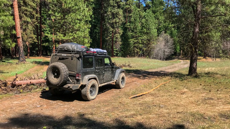
This area at the foothills of the central cascades is one of the best places in Washington to really experience the outdoors. Aside from four-wheeling, this area is popular for camping, bird watching, hiking, horseback riding, off-road vehicle riding, mountain biking, snowmobiling, hunting, and general sightseeing. Because this area gets less rain than its western counterpart and has occasional forest fires, there are lots of trails and camping opportunities as a result of the relatively brushless and open nature of this forest. This short but impressive trail takes drivers down through the forest to a beautiful meadow and Rattlesnake Spring. It then follows Rattlesnake Creek [River] and loops back up to the starting point. You can expect some mud, rocks, and ruts as the trail winds smoothly through the forest.
Updated: 05/15/2024
Shorty
Naches, Washington
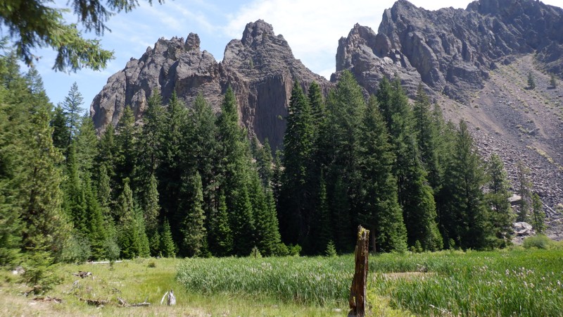
The Rimrock Recreation Area holds the most 4x4 trails available in one area in Washington State. Without counting there are at least 30-40 trails to explore. Some are easier but most of these trails will be for more built rigs with at least a 2-inch lift and larger more aggressive tires. The trail called "Shorty" is short but don't let this deceive you, this trail can be quite a challenge especially in the spring when melting snow tops off the mudholes and in the fall when the seasonal rains start in. The soil in this area is clay and when it is wet it is very slippery and will clog all-terrain tires rendering them useless slicks. Aggressive mud-terrain tires will be what's needed and even then, you'll be winching for sure. In the Summer months, this trail is fairly easy but might be a bit too difficult for stock vehicles. The views of the surrounding cliffs are amazing and are a great incentive for surviving the mud, twists, and turns that make this trail a real challenge.

Updated: 10/29/2025
Tahuya / Access Road / G-2000
Sunbeach, Washington
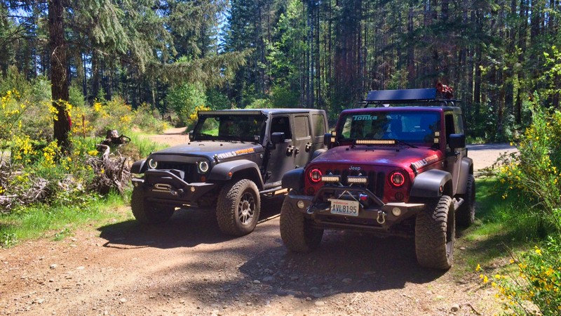
This easy access road starts at Elfendahl Pass Road. The gate at Elfendahl Pass Road is normally locked but can be accessed for recoveries if needed by the Forest Service. This a smooth gravel Forest Service type road that connects with "Tahuya-Trail 55", "Tahuya-84-S" and "Tahuya - SouthLoop". There is no camping inside the ORV area but there are three camping areas surrounding the park. One at the Elfendahl Pass Road park entrance. One on "Goat Ranch Road", and the third called "Tahuya River Horse Camp", located just at the end of "Goat Ranch Road".
Updated: 09/04/2025
Pole Ridge Road
Telma, Washington
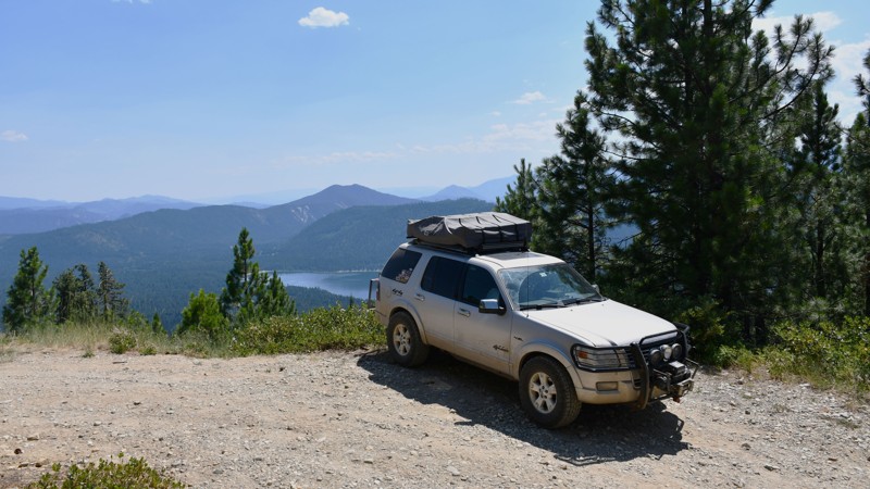
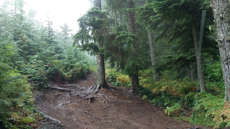
Pole Creek Road is a 6.4-mile trail in the Okanogan Wenatchee National Forest. It is a fun trail with difficult sections and provides great views.
The first part of this trail consists of graded dirt and is relatively easy. The road becomes much more difficult at the intersection of Dirty Pole Road, FR 6305511, but this is where the excellent views begin. The trail becomes quite narrow, with several steep slopes.
There are many excellent views of the lake and the valley in this last section of the trail, and several campsites of various sizes.
Please be advised that the end of the road is the end of the gpx file for this road. The road is shown to continue on various maps, but in reality, it is extremely overgrown and is only passable for 100 feet before it dead ends, with little room to turn around. Also, maps may show a road down the ridge towards the lake, but this road is on private property and has several no-trespassing signs, so it should not be entered.
Overall, this is a fun trail, with excellent views and somewhat difficult obstacles to make it interesting. This trail is great for people who want to experience beautiful sightseeing locations, explore more technical terrain, or want to find a quiet campground near great views.
Updated: 09/15/2022
Elbe Hills OHV - Mainline Extension Trail
Elbe, Washington
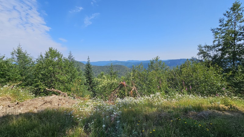
Mainline Extension is a relatively easy trail with the exception being if there is snow on the ground. The route you choose for this trail can best be determined by the level of experience in your group. Running it downhill is great for the novice and running it uphill proves to be a challenge for the intermediate driver. Any level of vehicle can navigate this trail with the proper selection of lines. Another great trail in the Elbe system for anyone looking to hone their skills.
Updated: 10/15/2024
Hole in the Wall/Hunger Repeater Road
Sappho, Washington
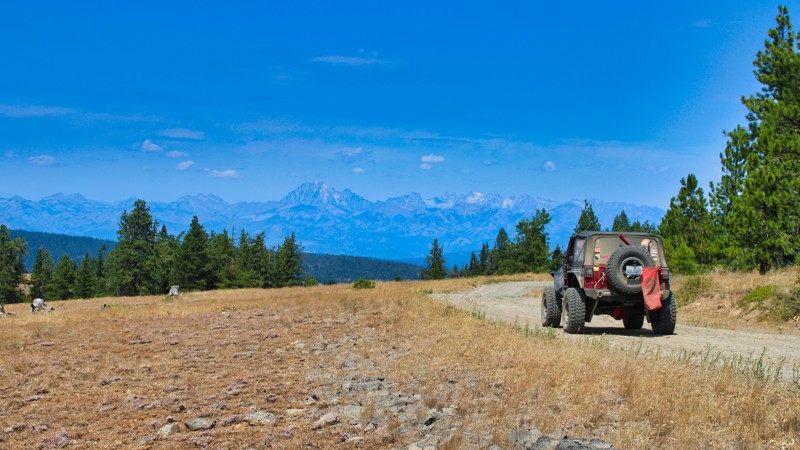
Hole in the Wall connects Cooper Ranch Road with FS29 and gives you a great little beginner drive with some lovely views as you get closer to FS29 and start to run along the ridgeline there. The road is comprised mostly of gravel and mixed with potholes, with rough spots where it's loose and presents traction issues. You may wish for 4WD and at least a little bit of clearance for rocks on this drive.
There are some pretty mountain and forest views as you proceed up the road, alternating sides of the ridgeline so your driver and passengers get views throughout the drive. Dispersed camping consists of a few closed-down road spurs that are large enough to pull off for a night of camping if needed.
Updated: 05/29/2025
Hutchins Road
Cliffdell, Washington
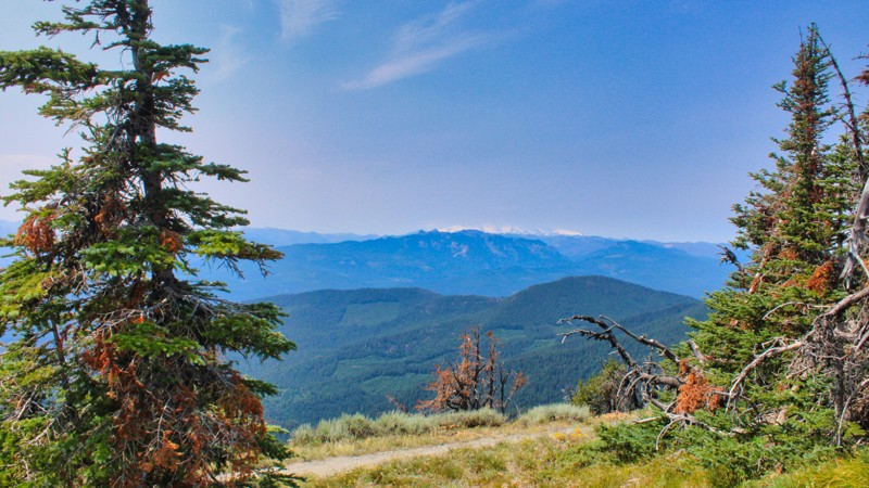
Hutchins Road in Washington State is a picturesque thoroughfare that begins in the charming town of Ellensburg and winds its way through the stunning landscape of Kittitas County. The road is well-maintained until you enter the Murray Wildlife Area. Take it slow and steady through this rocky section. In the early spring months, this section of the road will probably be a muddy mess. This scenic road provides easy access to the Manastash Recreation Area, making it a popular route for outdoor enthusiasts and nature lovers. The road starts at a gate for the Murray Wildlife Area and is only open from May 1st - December 14th. As Hutchins Road continues on its journey, it eventually crosses into the Okanogan Wenatchee National Forest and connects with Mastash Road/FS-31, offering a seamless transition for those looking to explore the natural beauty and recreational opportunities that abound in this region. With its convenient access and breathtaking surroundings, Hutchins Road is a must-visit destination for anyone seeking adventure and tranquility in the heart of Washington State.
Updated: 10/15/2024
Manastash Road
Wenas, Washington
Manastash Road, known as FS-31, located in the Okanogan-Wenatche National Forest, stretches gracefully for 18.9 miles, embarking on a journey from the charming town of Ellensburg, Washington, and winding its way west to the majestic Quartz Mountain. Most of the road is well maintained, but in the upper elevation there is no maintenance done, so it gets a bit rocky and uneven. Along this scenic route, adventure beckons with easy access to the renowned Manastash 4x4 trails, where rugged terrain meets the thrill of off-road exploration. This route allows easy access to the Moon Rocks and the playful Funny Rocks play area, where you can test your rig on some technical Rock-crawling. Manastash Road is a gateway to endless possibilities, where the beauty of the Pacific Northwest unfolds in all its splendor.
Updated: 06/04/2026
Tahuya / Access Road / Goat Ranch Road W
Sunbeach, Washington
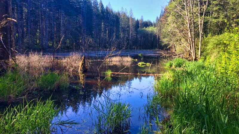
Goat Ranch Road W is a well-maintained forest service access road that will take you to Oak Patch Lake, 4x4 Access Point, Camp Spillman Campground, and Tahuya River Horse Camp. Tahuya River Horse Camp is open for camping on weekends only, from Memorial Day weekend through Labor Day. The trail dead-ends at a stagnant lake.
Updated: 06/15/2024
String
Cliffdell, Washington
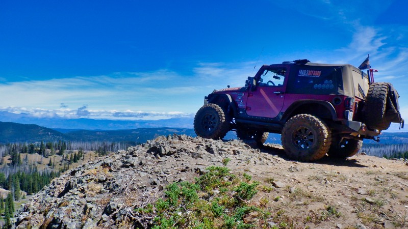
The String Trail is located in the Okanogan - Wenatchee National Forest and is part of the Manastash Ridge ORV area. The trail is an exercise in hill climbing and rises up 600 ft in elevation to the top of the Manastash Ridge connecting with 4W306 (Manastash Ridge) trail at its end. There are a few look-outs to the north and one where you can pose your vehicle on a cliff for that perfect picture postcard to send to all your friends. The trail climbs steadily through a burnt forest that is in the process of recovery and makes for some very different but beautiful scenery. This trail is a bit more difficult than most in the Manastash Ridge area so be ready for some tight twisting trail with some serious hill climbing. String Trail rewards the intrepid with some beautiful mountain views along the way.
Updated: 07/15/2024
CJR’s Hideout
Cliffdell, Washington
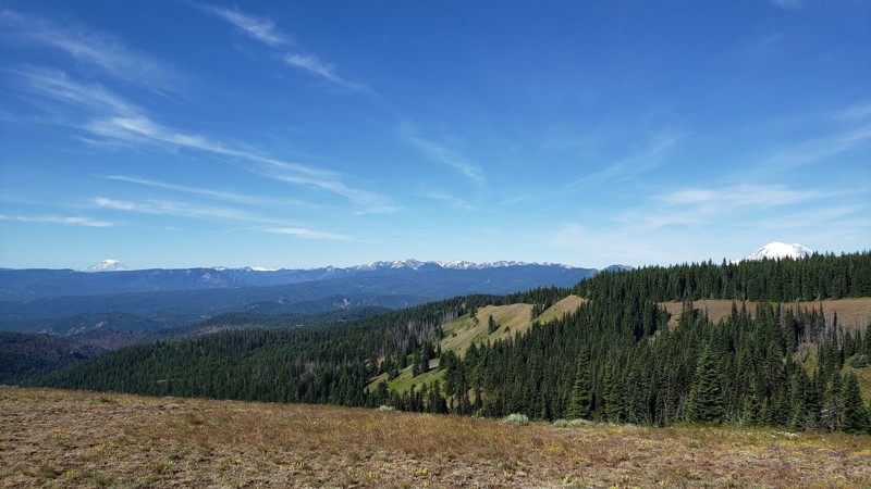
CJR’s Hideout is a trail in the Okanogan - Wenatchee National Forest with a wide array of off-road adventures spanning from easy to difficult. CJR’s Hideout has many gorgeous views of both Mt. Rainer and Mt. Adams along with picturesque views of the valleys below. This trail takes you across a ridgeline with views on both sides before you pass into a beautiful meadow filled with wildflowers during the spring and early summer. A small stream runs across the road and into the meadows. Once you enter the old-growth forest, you will be surrounded by Pacific Northwest beauty. This trail is a great introduction to wheeling in the Okanogan - Wenatchee National Forest with several trails branching off, offering a number of options to continue exploring.
Updated: 04/17/2024
NF-8821
Trout Lake, Washington
After departing from NF-024 Connector, you can continue on with NF-8821. It’s a little over 5 miles, so it’ll be longer than most of the recent trails. Early on in the trail, the path is still sandy, but it begins to transition to dirt and gravel once more, with some potholes present too. Waypoint 3 brings you to Trail 35, which is open to hikers, bikers, equestrian riders, and OHV use. It follows a 1 mile decommissioned road until entering Deadhorse Meadow and continues to Smoky and Little Goose Creek before ending on Trail 26. This hiking trail and many others in the region were developed in the late 1800s by sheepherders and followed existing Native American trails. They traveled from eastern Oregon to graze their sheep on these summer ranges. Once you reach the end of this trail, you’ll to turn right onto NF-88; a paved road that will take you to the start of the next trail, NF-8810, or continue further on to the town of Trout Lake, for fuel and supplies.
This trail is part of the Washington Cascade Overland Route. Visit Overlanding Across Washington for more information, including which trails to take next.
Updated: 11/01/2023
Louella Cabin Road
Blyn, Washington
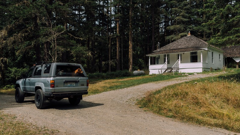
Louella Cabin is a brief and relaxing drive and private getaway. The cabin was built in 1912 by E. M. Cheney, who named it after his wife, Louella. The cabin, as well as the nearby Civilian Conservation Corps (CCC) camp, were used over the years to house a fireguard, and by CCC personnel as they worked to build fire lookouts, trails, bridges, and roads in the area. Located in the Buckhorn Wilderness area of the Olympic National Forest, it’s an easy to get to weekend escape, suitable for anyone.
Updated: 10/15/2024
FS 63
Cora, Washington
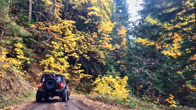
In the Gifford Pinchot National Forest just outside Packwood, WA, FS 63 is a well-maintained forest service road that climbs up and around Purcell Mountain to over 4500 feet. The road travels through beautiful groves of old-growth forest with a mix of hardwoods, and if you are lucky enough to be traveling in the Fall, the yellow leaves contrast with the darker evergreen trees. There are beautiful views of Mt. Adams to the south and Mt. Rainier looking north, as well as a vast view for miles to the west that seems to go on forever. The road connects with FS 47 after a beautiful 15-mile drive down the other side of the mountain. An excellent connector road would be onto FS 85 for a 22-mile drive to Ashford, WA, and the Mt. Rainier National Park entrance on U.S. 706.
While no camping spots are close to the road, many side roads look to lead to fantastic views with better camping opportunities.
Updated: 12/01/2023
Wildcat Gulch
Liberty, Washington
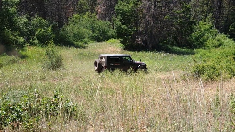
This trail is in the Okanogan-Wenatchee National Forest, which in its self is beautiful. While any forest road will give you amazing views of the valley below or the abundance of wildlife in the area, the real treat comes when you get off-road on any of the designated trails. Here you will climb to higher places and see even more breathtaking views, all while enjoying the challenge of going off the beaten path. In the early morning, you can hear songbirds sing or see the chipmunks playing on the ground as they run through down trees and foliage. During the day, you might see a blacktail deer or buck standing tall in the field watching you as you pass by. The possibilities are endless. This trail features a beautiful meadow where you can stop and have lunch or let the dogs out. Take a moment and enjoy nature's beauty in the silence.
Updated: 09/14/2026
Roosevelt Beach Access
Ocean Grove, Washington
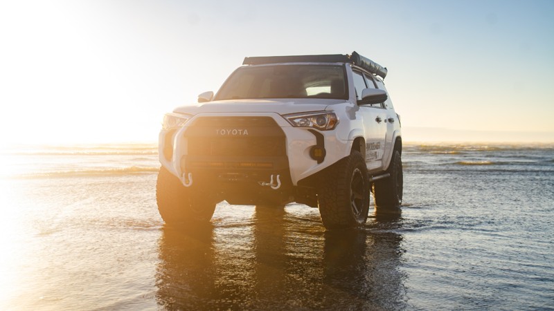
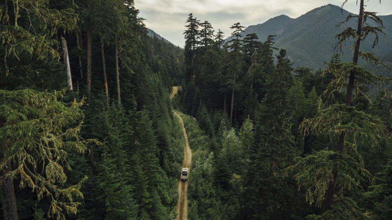
Roosevelt Beach is accessible right off Roosevelt Beach Road, with firm sand near the water that’s easy to drive on. The sand gets much softer as you get closer to the dunes, so it’s best to stick to the packed areas unless you’re prepared for soft sand. Be sure to air down before trekking into the sand.
It’s usually quieter than other nearby beaches, which makes it a nice spot for a peaceful drive. Just south of the entrance is a small airport, and you might catch a plane taking off or landing right on the beach.
Camping and overnight parking aren’t allowed, but restrooms are available right at the entrance. If you’re planning to hang out for a while, keep an eye on the tides, and remember that fires need to be at least 100 feet from the dunes. And if you end up driving through any saltwater, make sure to rinse your undercarriage afterward!
Updated: 08/27/2024
Green Divide (North)
Greenwater, Washington
Green Divide North is an important trail that connects Tacoma Pass to Plum Creek on the Stampede Pass Overland Route (SPOR). Most people only travel a few miles on this trail as part of their overland journey. However, those who choose to explore the entire trail will be rewarded with a narrow yet spectacular drive through old growth in the Mt. Baker-Snoqualmie National Forest. The trail's other half, Green Divide South, is also part of the route and connects travelers to complete the SPOR.
Updated: 07/15/2024
Ragan Way
Ellensburg, Washington
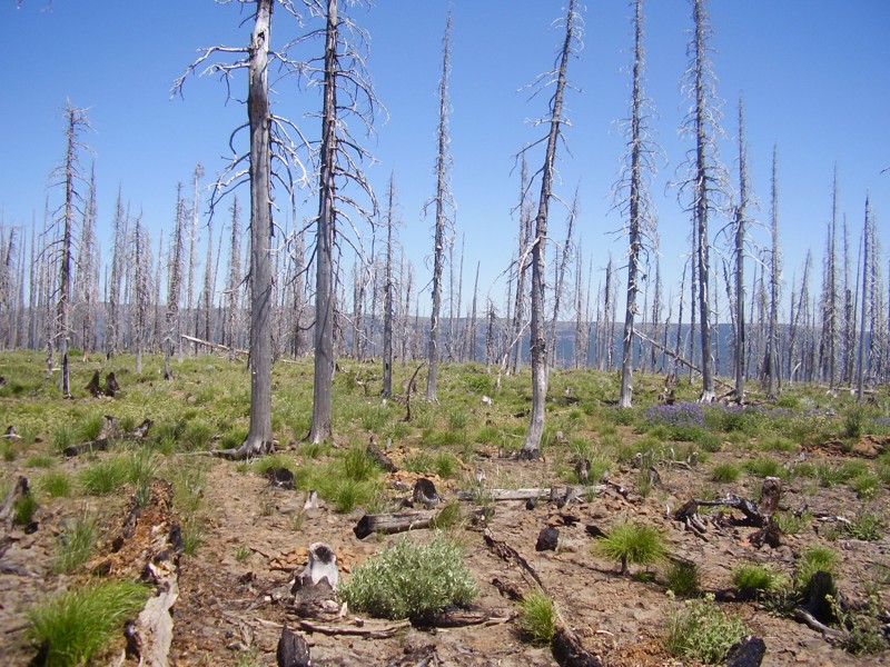
Ragan Way is one of the off-road trails that shows the ferocity of the wildfires that ravaged the Liberty area in the summer of 2012, burning over 42,000 acres of the 259,000 acres that burned that summer. The Table Mountain fire was one of the worst fires this area has seen since the Great Fire of 1910. Sitting high atop the western-most ridge of the very scenic Table Mountain, this trail is a great scenic connector from the northern entrance to the FS roads that access the southern side trails, to include leading you to the preferred route (west) on Crystal Ridge Trail.
Updated: 10/15/2024
Sitkum Sol Duc Connector
Ovington, Washington
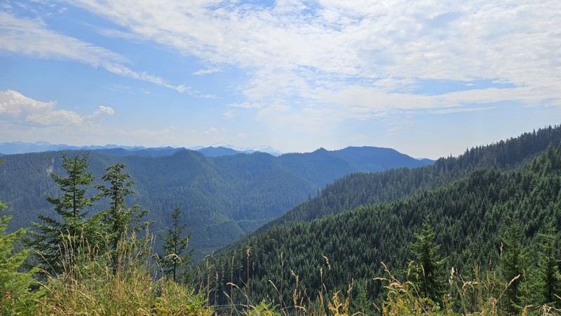
The Sitkum Sol Duc Connector road goes between the Sitkum Sol Duc Road (FS29) and the South Fork Sol Duc Road. Starting at FS29, it traverses a ridgeline for a few miles before cutting over and running along the side of the mountain for a bit. About 4 miles from FS29, there's a severe landslide at the moment with a significant drop down the mountain if you don't make it. Take this section seriously and plan your approach across it. 4WD would be required at a minimum for this, and a narrow vehicle and/or short wheelbase would have an easier time due to the layout of the rocks
Aside from the landslide, the road surface is mostly gravel and in reasonably good condition. Traffic on this route isn't enough to keep the brush at bay, so be prepared for pinstripes or a bit of work with some cutting tools to widen the path enough for your vehicle.
Camping is mostly non-existent on the road, though there are a couple of pull-off spots that might do in a pinch if you're looking for a spot or really like the view.
Updated: 10/15/2024
FS-1721-1722
Pinecliff, Washington
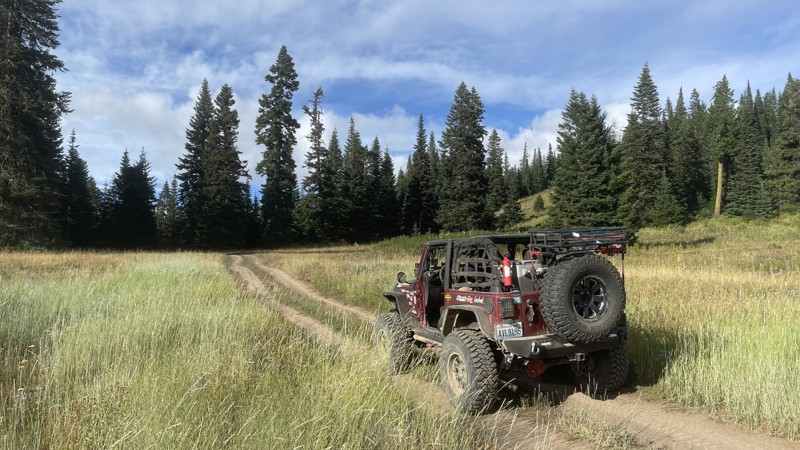
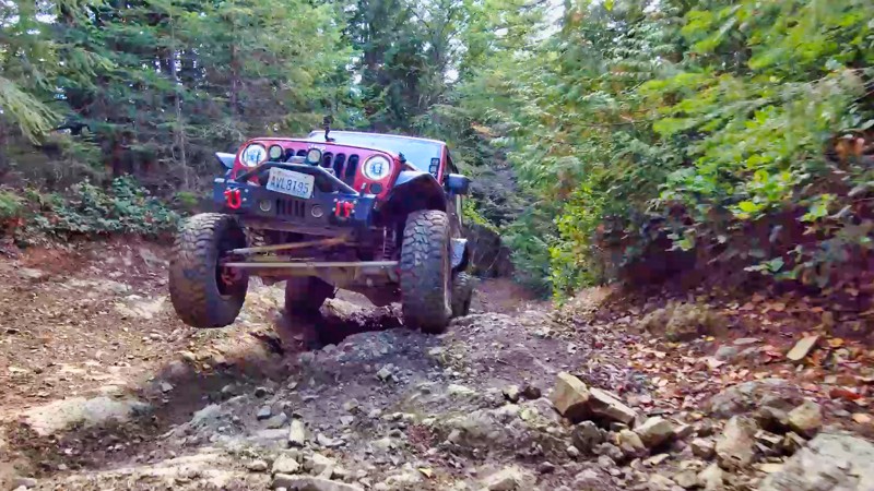
FS-1721 / 1722 starts at Rock Creek Road and takes you deeper into the Manastash ORV area ending and intersecting with "CJR's Hideout". The road winds along ridge tops with fanastic views of the Naches Valley below. The road intersects with "Gold Creek Road / FS-1702". After the intersection, the road turns right/north and becomes a moderate 4x4 trail complete with tight turns and rocky hill climbs that, if wet, might make for difficult climbing. Please use caution and have a rig capable of the terrain.
Updated: 04/01/2024
Evans Creek / Trail #196
Wilkeson, Washington
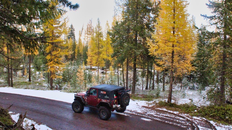
Located in the Mt. Baker / Snoqualmie National Forest and part of the Evans Creek ORV. Trail #196 is one of a dozen trails designated for 4x4 use for over 45 miles of trail riding. Trails are well marked and even rated from easy to most complex. This trail challenges the driver and vehicle with demanding, rocky hill climbs. The trail climbs up to 4000 feet in elevation, connects with Trail #197 and Trail #198, and gives you access to Trail #520. After the hill climbs, the trail levels out and takes you through beautiful old-growth timber. The spring flowers are something to behold.
Updated: 10/15/2024
Swamp Creek
American River, Washington
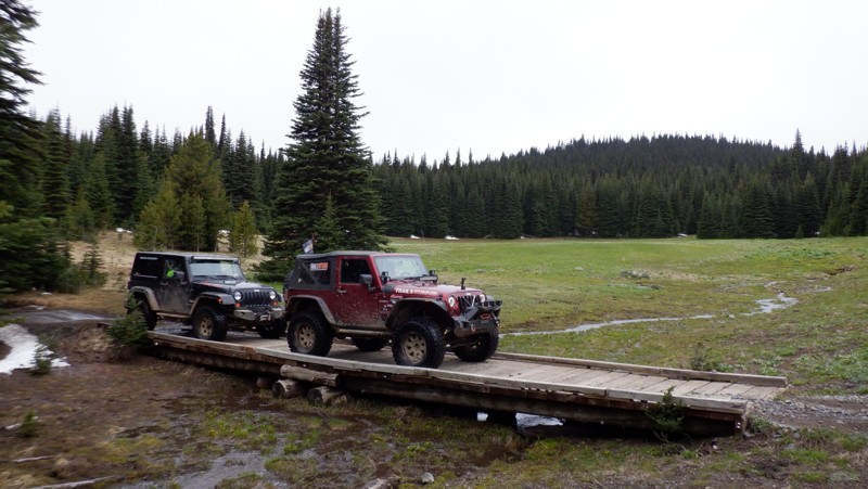
Swamp Creek, FS 1709, begins on the south side of US Highway 410, close to FS 19. The trail runs 13 miles through the Wenatchee National Forest, climbing to an elevation of 4600 feet. The road passes Halfway Flat Campground and crosses Bumping River on a small one-lane bridge. The trail connects with FS-1600, which goes straight to Clover Springs Campground or left down into the Nile Creek Valley, where there was a huge forest fire in the summer of 2021. There are many dispersed camping opportunities and overlooks with great views of the surrounding peaks and valleys.
Updated: 06/15/2024
Wells Meadow
Ellensburg, Washington
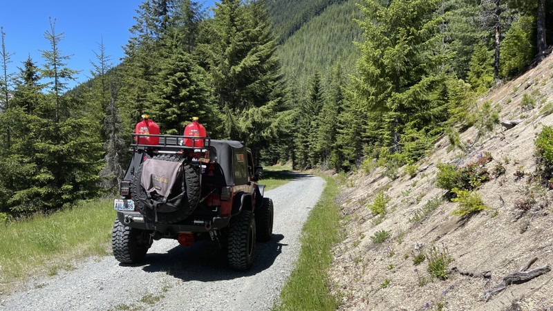
Situated in the Okanogan - Wenatchee National Forest, the Wells Meadow trail is a prime example of nature in its untouched state. In the spring with flowers blooming and the abundance of wildlife you are sure to find huge meadows laid out before you in their storybook beauty. The meadows here are untouched and a favorite summer retreat for elk and deer birthing their young. The spring flowers abound with their splashes of color throughout the meadows and the streams running through this valley are cold and clear from mountain snow runoff. This trail is surely a place that you won't soon forget if you take the time to stop and just enjoy natures peace.
Updated: 10/15/2024
FS 2612
Cispus, Washington
FS 2612 is a secondary Forest Service road that follows a ridgeline through some old-growth forest. Located off FS 26 at the snow gate, it travels 3.2 miles and ends at a nice camping area. The last mile of the road does get a bit primitive, and overhanging branches could damage the paint on your vehicle. A turn-off on FS 2612027 about 1.5 miles from the start leads to the Green River Horse Camp. There are 5 or 6 camping spots with concrete picnic tables, fire rings, and a vault toilet.

Upgrade your Membership
Unlock all of the details on every Trail Guide and Scout Route.
Start a 7-day Free TrialCommunity
Partners

