


By clicking "ACCEPT", you agree to be the terms and conditions of each policy linked to above. You also agree to the storing of cookies on your device to facilitate the operation and functionality of our site, enhance and customize your user experience, and to analyze how our site is used.
Washington Off-Road Trails
187
Total Trail Guides 183

1735
Detailed Waypoints 156
Try a Free 7-Day Trial and unlock it all
Start a Free Trial Most Recent Trail Reviews
Rated 5/5
Open
Visited: 09/20/2026
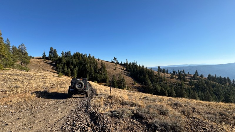
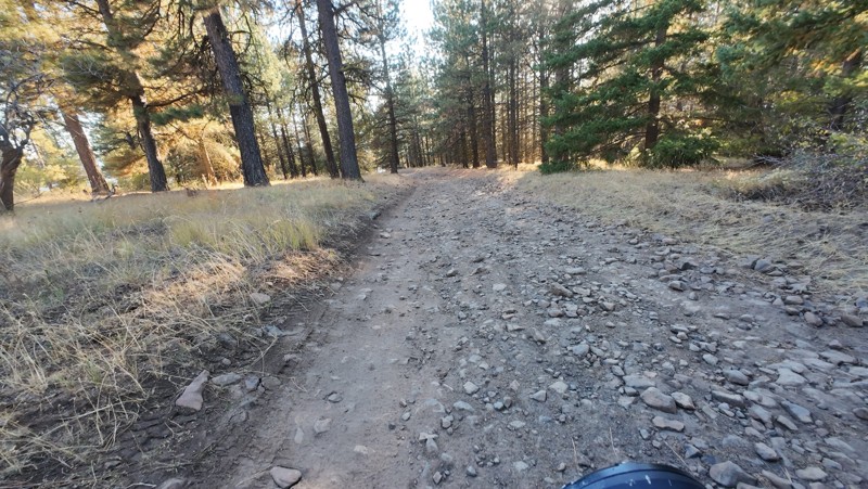
Traveled down from NS1712. The NS1711 is steep and loose gravel into the lower section along the hill side where the road surface becomes more level with gravel surface. Fantastic views from the top ...


John Kapelski
Official Crew
No Rating
Open
Visited: 09/19/2026
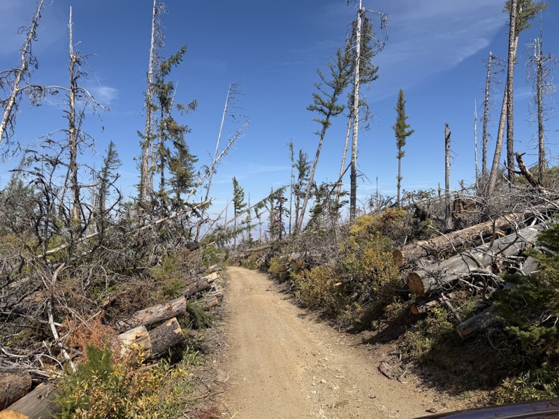
I drove this trail from the Wenatchee side all the way to Table Mountain Road in a Wrangler Rubicon. The Mission Ridge area had a couple of deep washouts on a narrow section of the road that were slo...
TS
Tom Stephens
Rated 4/5
Open
Visited: 09/13/2026
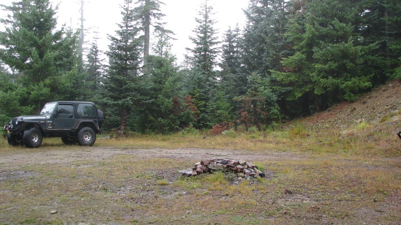
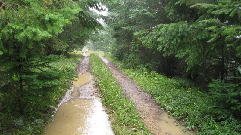
Easy hill climb to three very nice camp sites. Enclosed tree branches will provide compilatory light pinstriping and a mirror adjustment. First camp provides the most room for a group. Small trailer f...
John Kapelski
Official Crew
Rated 4/5
Open
Visited: 09/13/2026
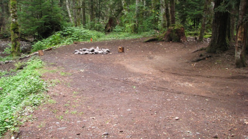
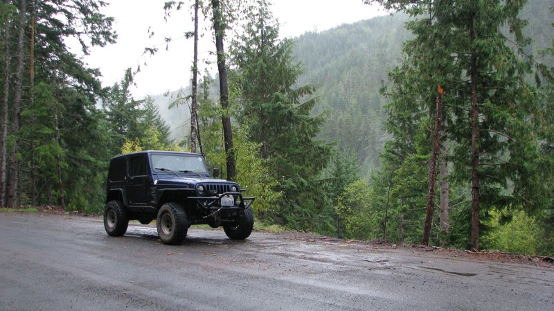
Short and sweet, Midnight Creek is an enjoyable drive through the forest at lower elevations. A dense canopy provides plenty of cool shade while the lush vegetation and abundant mountain runoff showca...
John Kapelski
Official Crew
Rated 5/5
Open
Visited: 09/13/2026
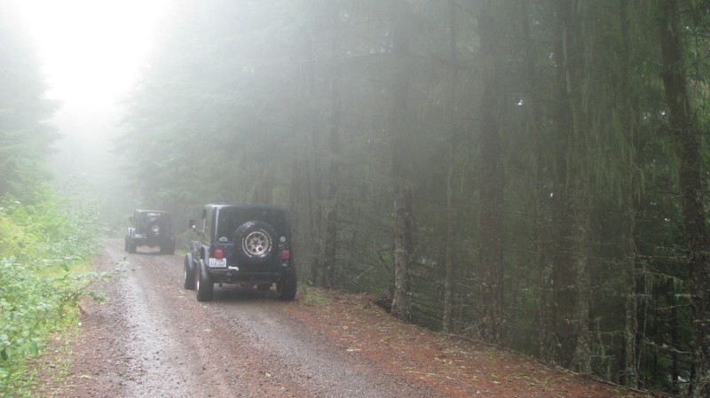
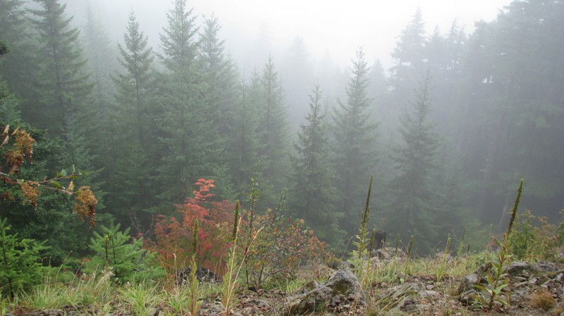
What a gem of a road! Even beneath the clouds, the route offers beautiful scenery, with early fall colors beginning to emerge and mist drifting through the surrounding mountains and forest of moss cov...
John Kapelski
Official Crew
Rated 1/5
Open
Visited: 09/13/2026
Total snooze fest. The most interesting part of the trail was when I ensured the gun was loaded driving past some local tweakers. Nothing to see here, much like the rest of the BOH trails in the PNW.
Francis whitney
Rated 3/5
Open
Visited: 09/09/2026
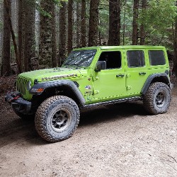
Beach access is easy and just about any vehicle can drive on the hard packed sand. A very important part that is not mentioned on the trail description is that driving on beach dunes is prohibited. Al...
Bill
Rated 5/5
Open
Visited: 09/07/2026
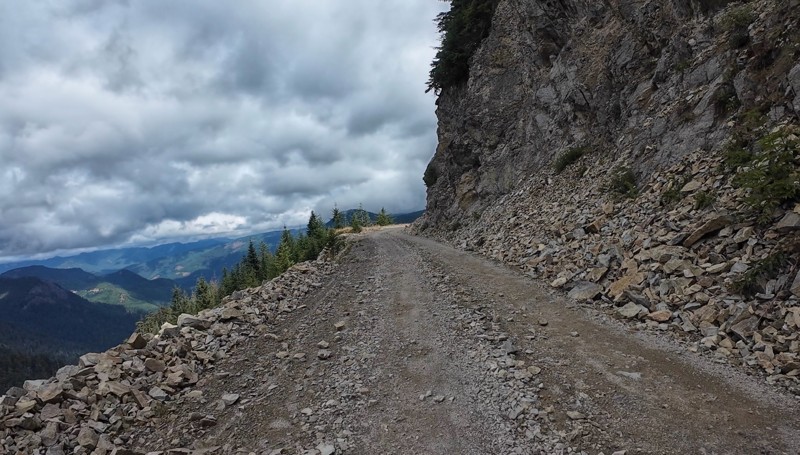
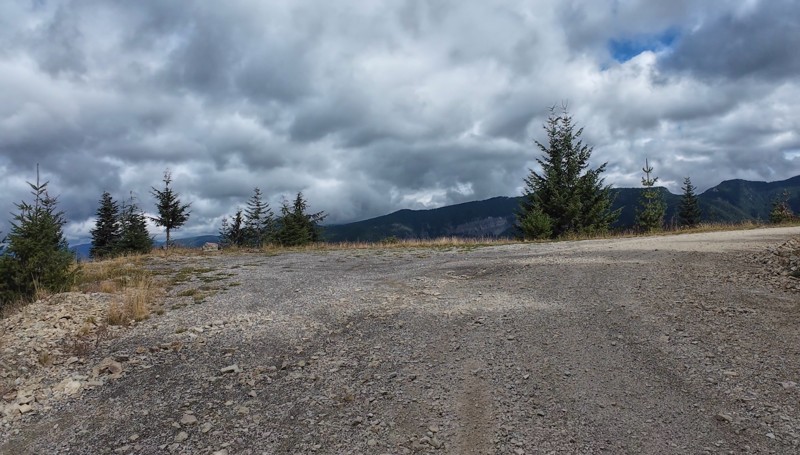
Very cool trail with multiple large campsites along the creek’s at the lower sections. Generally easy road surface with washboard areas.
John Kapelski
Official Crew
Rated 5/5
Open
Visited: 09/07/2026
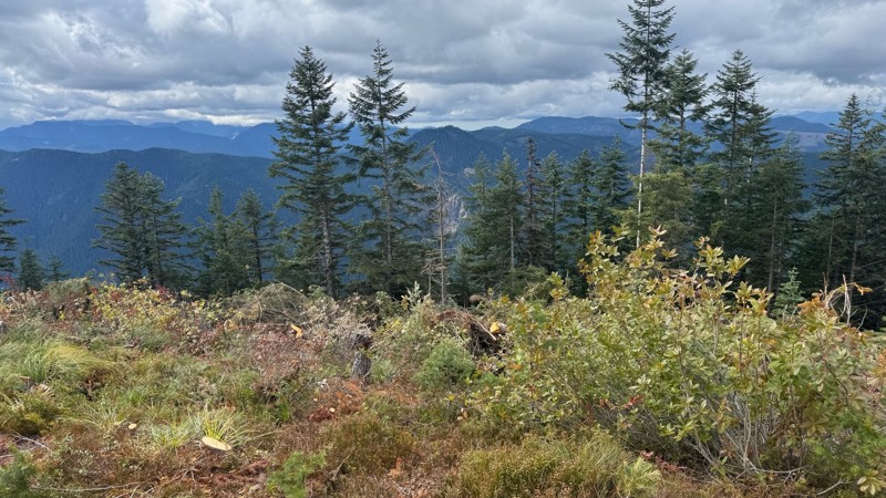
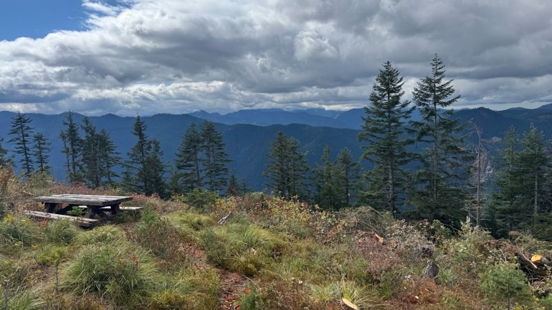
Road is easy and steep. Nice views thought the trees on the way up. Fabulous 360 degree views from the top. Cloudy days was not disappointing!
John Kapelski
Official Crew
No Rating
Open
Visited: 09/05/2026
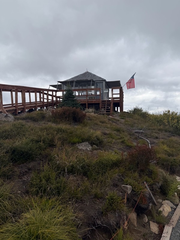
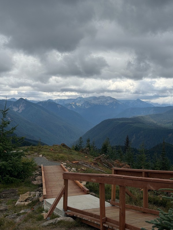
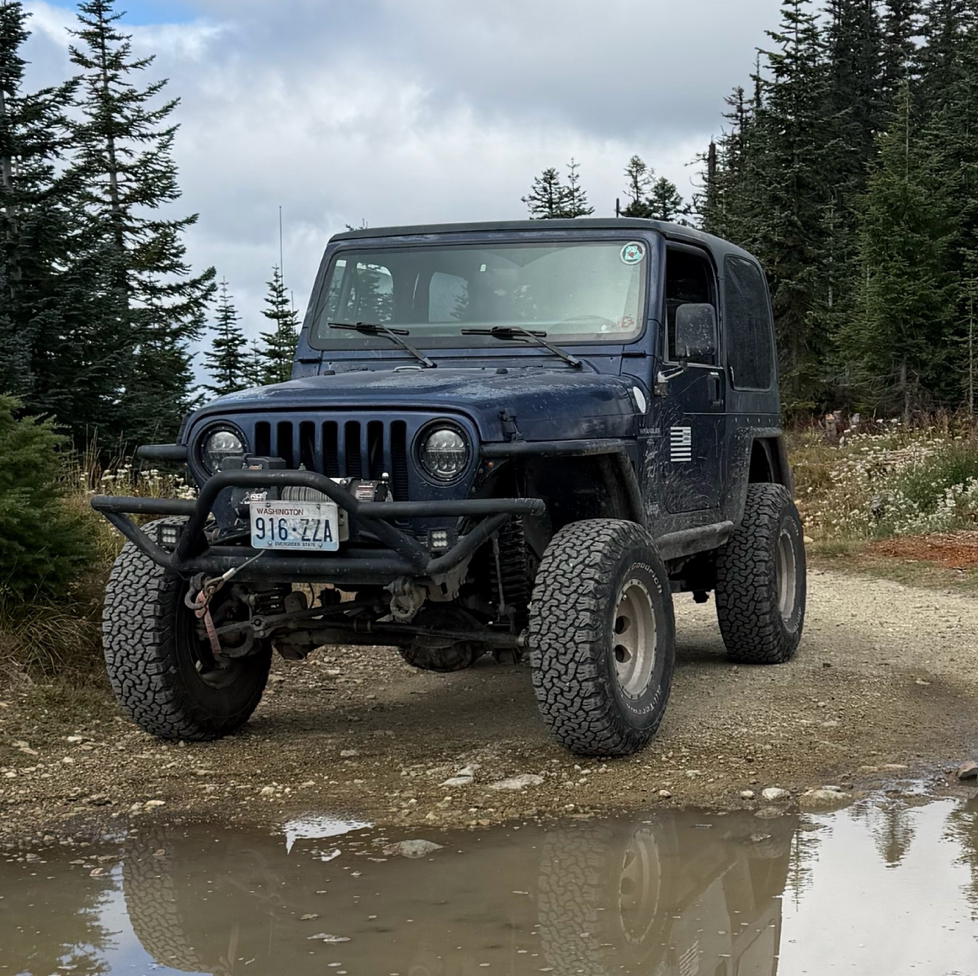
Difficult rating was spot on. Did the whole trail in 2 wheel drive. Grate views at the top
Austin Kapelski
Rated 4/5
Open
Visited: 09/05/2026
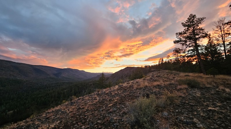
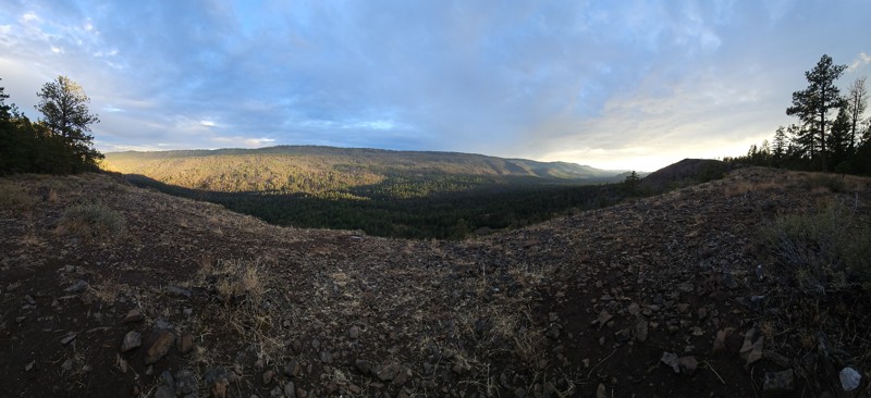
Nice quick camping trip, the campsite at the end of the road is still gorgeous, and sunsets are still pretty. the walk up to the actual devil's table is about a mile one way and 400' up, but nice view...

Ryan Wallace
Official Crew
No Rating
Seasonal Closure
Visited: 09/01/2026
According to this trails management agency, the trail is likely closed for the season.
You can reach out to the agency for more details.
Be sure to leave us a report and let us know ...

Trails Offroad
Official Crew
Rated 5/5
Open
Visited: 08/29/2026
Fun track with two people who have done this before and two, who haven't, a couple of nice waterfalls, and a good mix for everyone.
TW
Timothy Watson
No Rating
Partially Open
Visited: 08/29/2026
Tried access from North Wenas Highway at waypoint 8. Gate was posted with No Public Access. I would imagine waypoint 7 is the same as it appears to be private land???? Was not able to find access to w...
John Kapelski
Official Crew
Rated 5/5
Open
Visited: 08/28/2026
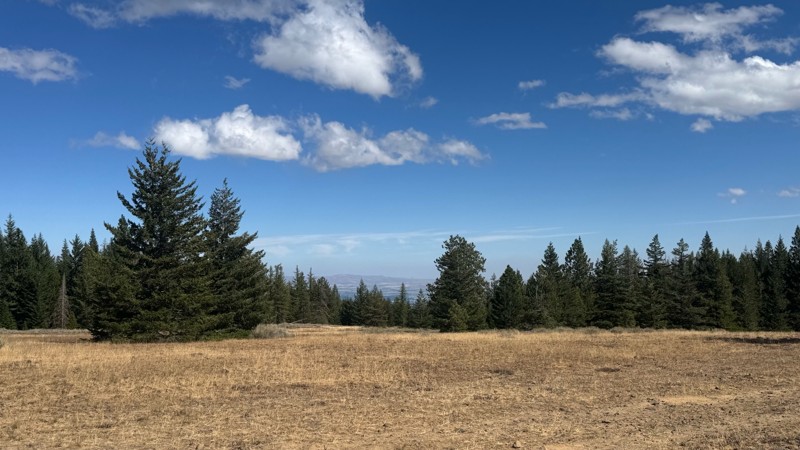
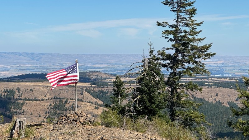
Continued from Rocky Flat,FS1701, down to Manastash Road. About 80% of the trail is down hill and never disappoints on the fun scale. More challenging that the 1701 and great views of the South Fork M...
John Kapelski
Official Crew
No Rating
Open
Visited: 08/28/2026
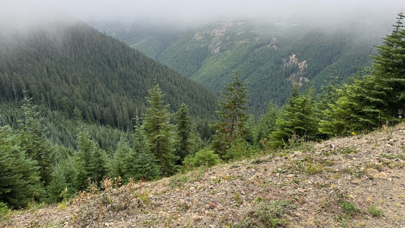
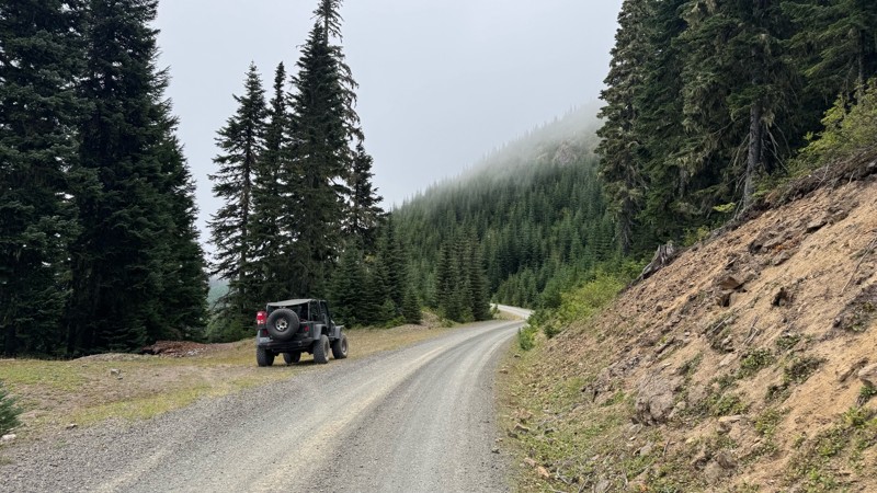
A great alternative to the Pyramid Pass route. Great camping looking over to Naches Trail
John Kapelski
Official Crew
Rated 5/5
Open
Visited: 08/28/2026
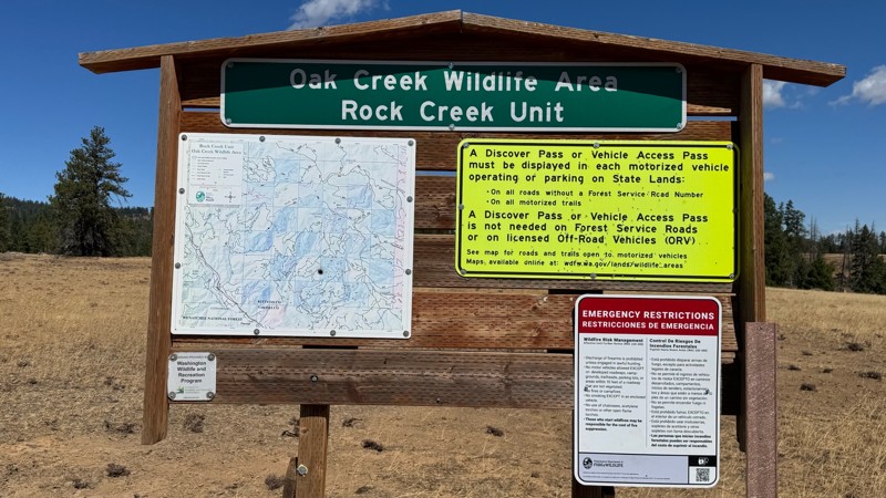
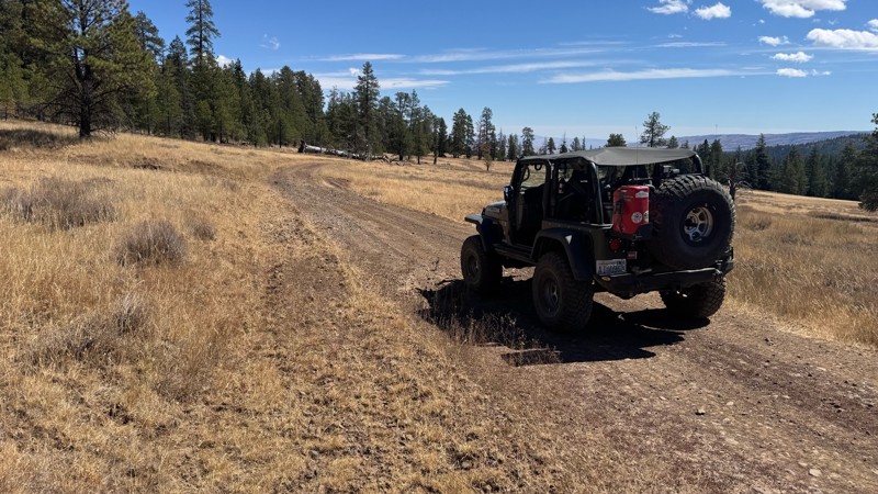
Nice dive up to waypoint 6 at five corners. Not as smooth as the initial incline but very scenic with great views to the west and east.
John Kapelski
Official Crew
No Rating
Open
Visited: 08/28/2026
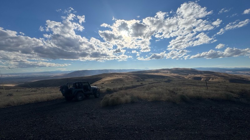
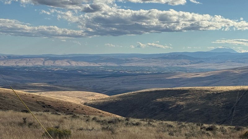
Connection area to Durr Rd and Old Durr Rd along with other trails is a bit confusing as there are “short cuts” to the same road. Umtanum Ridge is ruff. The high point is next to the towers with fant...
John Kapelski
Official Crew
No Rating
Open
Visited: 08/28/2026
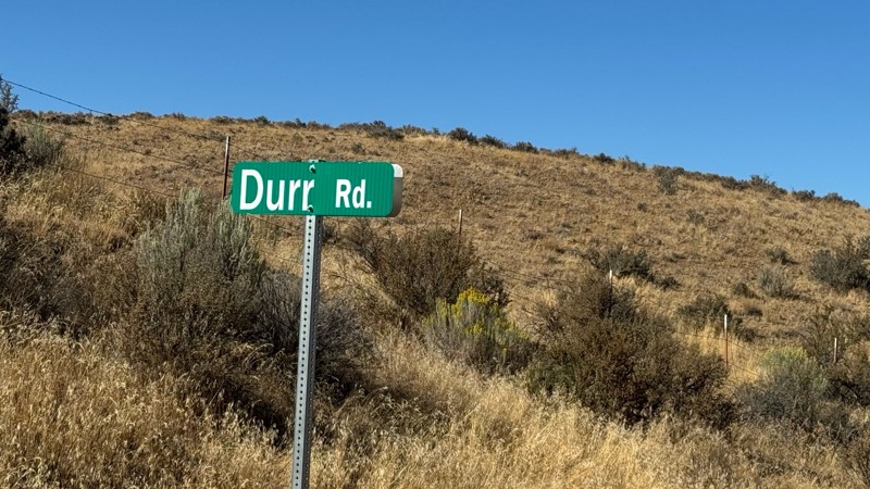
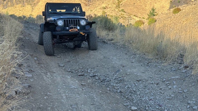
I drive this in the reverse direction of publish. Started out wide and smooth gravel surface than turned into a ruff narrow shelf road with limited places to pass. Best camping was at waypoint 3 by th...
John Kapelski
Official Crew
Rated 4/5
Open
Visited: 08/28/2026
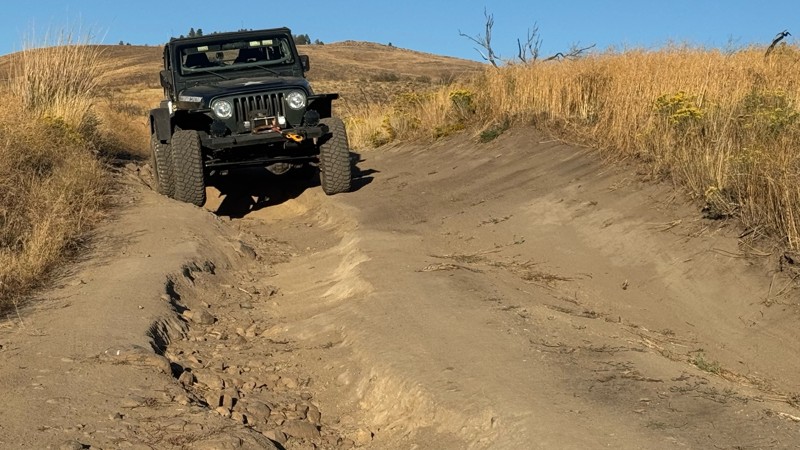
Waypoint 4-5 has changed due to water run off by exposing more rock face and creating deep ruts.
Large flat campsite next to waypoint 4, go straight before making the turn. It is the only site that ...
John Kapelski
Official Crew
Rated 4/5
Open
Visited: 08/28/2026
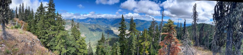
Incredible view on top! Unfortunately saw a group packing up camp on our way up and on our return down they had left lots of trash and a fire still burning during extreme fire danger and burn ban! We ...
J
Jason
Rated 4/5
Open
Visited: 08/20/2026
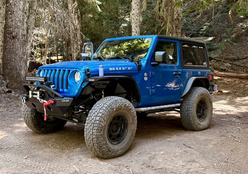
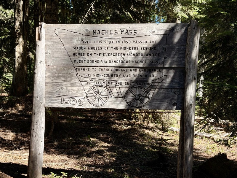
The trail is in great shape minus the section where the bridge is down. Ran into 1 other vehicle a SxS going east we were headed west. At the PCT cabin we talked to 4 through hikers refueling themselv...
CD
Carl Duester
No Rating
Open
Visited: 08/20/2026
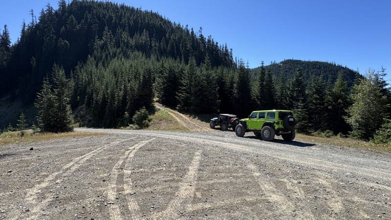
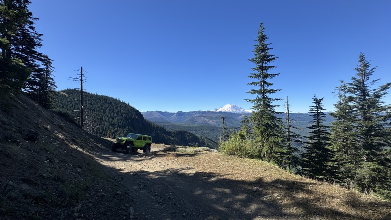
This road system offers continuous views of Mount Rainier to the south while climbing toward the rugged peaks of the northern Cascade Range. This short, enjoyable trail is well worth the few extra mi...
John Kapelski
Official Crew
Rated 3/5
Open
Visited: 08/17/2026
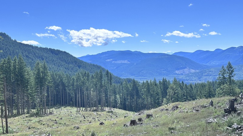
5 Road is exactly that a dirt road. Any 2WD vehicle can easily negotiate this trail. This trail is trailer friendly, but some of the tight turns are not suitable for longer trailers/campers. There are...

Eric Gartin
Official Crew
Rated 5/5
Open
Visited: 08/16/2026
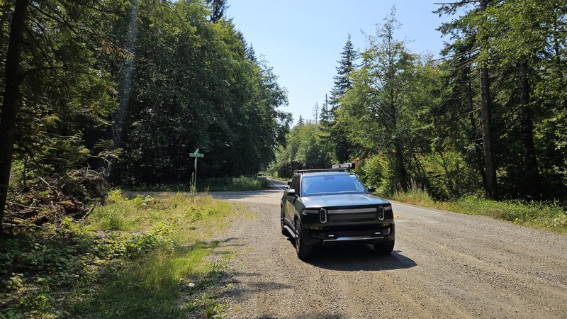
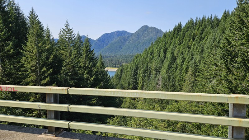
Our trip around the Wynoochee Loop was a mix of incredible scenery and some pretty technical driving. Traveling counterclockwise, we really felt the challenge starting on the final climb to the peak. ...
Ryan Wallace
Official Crew
Rated 5/5
Open
Visited: 08/15/2026
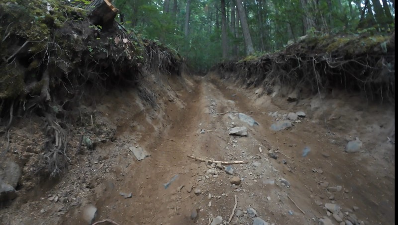
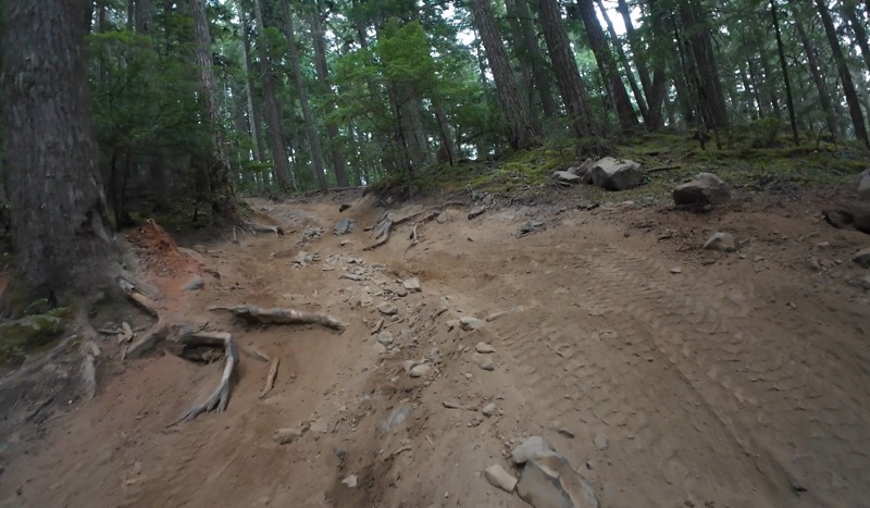
Wonderful day!!!!! Meet a two fellas doing their first trail ever. Shame on me for getting more photos. They had a BLAST!!!!! Hope to see them again.
John Kapelski
Official Crew
No Rating
Open
Visited: 08/11/2026
Per the MVUM, the trail is seasonally open. As always, check current fire restrictions/closures before venturing out.
Trails Offroad
Official Crew
No Rating
Open
Visited: 08/11/2026
Per the MVUM, the trail is seasonally open. As always, check current fire restrictions/closures before venturing out.
Trails Offroad
Official Crew
No Rating
Open
Visited: 08/11/2026
Per the MVUM, the trail is seasonally open. As always, check current fire restrictions/closures before venturing out.
Trails Offroad
Official Crew
No Rating
Open
Visited: 08/11/2026
Per the MVUM, the trail is seasonally open. As always, check current fire restrictions/closures before venturing out.
Trails Offroad
Official Crew
No Rating
Open
Visited: 08/11/2026
Per the MVUM, the trail is seasonally open. As always, check current fire restrictions/closures before venturing out.
Trails Offroad
Official Crew
No Rating
Open
Visited: 08/11/2026
Per the MVUM, the trail is seasonally open. As always, check current fire restrictions/closures before venturing out.
Trails Offroad
Official Crew
No Rating
Open
Visited: 08/11/2026
Per the MVUM, the trail is seasonally open. As always, check current fire restrictions/closures before venturing out.
Trails Offroad
Official Crew
No Rating
Open
Visited: 08/11/2026
Per the MVUM, the trail is seasonally open. As always, check current fire restrictions/closures before venturing out.
Trails Offroad
Official Crew
No Rating
Open
Visited: 08/11/2026
Per the MVUM, the trail is seasonally open. As always, check current fire restrictions/closures before venturing out.

Todd
Official Crew
No Rating
Open
Visited: 08/11/2026
Per the MVUM, the trail is seasonally open. As always, check current fire restrictions/closures before venturing out.
Todd
Official Crew
No Rating
Open
Visited: 08/11/2026
Per the MVUM, the trail is seasonally open. As always, check current fire restrictions/closures before venturing out.
Todd
Official Crew
No Rating
Open
Visited: 08/11/2026
Per the MVUM, the trail is seasonally open. As always, check current fire restrictions/closures before venturing out.
Todd
Official Crew
No Rating
Open
Visited: 08/11/2026
Per the MVUM, the trail is seasonally open. As always, check current fire restrictions/closures before venturing out.
Todd
Official Crew
No Rating
Open
Visited: 08/11/2026
Per the MVUM, the trail is seasonally open. As always, check current fire restrictions/closures before venturing out.
Todd
Official Crew
No Rating
Open
Visited: 08/11/2026
Per the MVUM, the trail is seasonally open. As always, check current fire restrictions/closures before venturing out.
Todd
Official Crew
No Rating
Open
Visited: 08/11/2026
Per the MVUM, the trail is seasonally open. As always, check current fire restrictions/closures before venturing out.
Todd
Official Crew
No Rating
Open
Visited: 08/11/2026
Per the MVUM, the trail is seasonally open. As always, check current fire restrictions/closures before venturing out.
Todd
Official Crew
Todd
Official Crew
Todd
Official Crew
No Rating
Temporary Closure
Visited: 08/11/2026
Closed due to the Sinlahekin fire.
Todd
Official Crew
No Rating
Open
Visited: 08/11/2026
Per the MVUM, the trail is seasonally open. As always, check current fire restrictions/closures before venturing out.
Trails Offroad
Official Crew
No Rating
Open
Visited: 08/11/2026
Per the MVUM, the trail is seasonally open. As always, check current fire restrictions/closures before venturing out.
Trails Offroad
Official Crew
Most Popular
Updated: 09/25/2023
Durr Road
Ellensburg, Washington
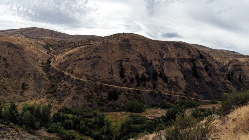
Located in the northern portion of the Wenas Wildlife Area, about 10 miles south of Ellensburg, Washington, Durr Road is a trail with scenic views and local historic significance. The trail begins atop Umtanum Ridge, near a radio tower, and continues down into the valley below, crossing Umtanum Creek by a small bridge at the bottom. After completing the climb following the creek, a look behind reveals a magnificent view of the valley you just traveled through, including the switchbacks that lead Durr Road into failure. During the 1870s, as roads continued to improve, settlers began claiming land in Eastern Washington. Shushuskin Road was part of that route, carrying mail, freight, and passengers over 150 miles from Dalles, Oregon to Ellensburg, Washington. An alternate route was built by Jacob Durr in 1882, which crossed the Umtanum Ridge from the Wenas Valley, before rejoining the Shushuskin Road. Although the bypass saved travelers 10 miles from their journey, the route was quite steep and required turntables; platforms that allowed a wagon and its horse team to turn at the switchbacks. Between the difficulty and the high cost of $25 annually, the toll road did not see much use. As one stagecoach driver concluded, “There is no hell in the hereafter; it lies between The Dalles and Ellensburg.” The trail is now much tamer than it was in its inception. It’s now both a pleasant day outing, as well as a great addition to a much longer trip. This trail is part of the Washington Cascade Overland Route. Visit Overlanding Across Washington for more information, including which trails to take next.

Updated: 08/11/2026
Skok Wynoochee Crossover
Mohrweis, Washington
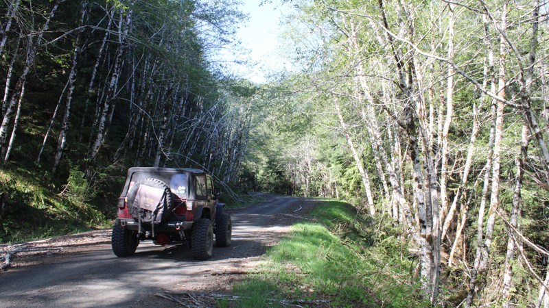
Are you ready to get into a remote wilderness seldom traveled? Skok Wynoochee Crossover, FS-2300, in the Olympia National Forest, starts north of Belfair and travels through wonderful old-growth and timber management areas. Several small, deep, clear ravine lakes would be fun to explore. The road winds 32.90 miles ending at Wynooches Lake, 35 miles north of Montesano. This area is very remote, so plan your fuel usage accordingly since Montesano is the closest fuel point. While no campsites were noted along the trail, smaller spur roads should provide excellent camping areas.

Updated: 06/15/2024
Van Epps Pass
Ronald, Washington
Located in the Salmon La Sac Recreation Area of the Okanogan - Wenatchee National Forest, Van Epps Pass trail is just North of Roslyn, Washington, home of the hit TV show Northern Exposure. The trail is only accessible for four-wheel-drive vehicles from the middle of June till November. This trail, combined with several other great trails in the area, makes for an excellent day trip. Van Epps Pass has several technical sections that can present the driver with some challenges, including a drive up a dry creek-bed and some stream crossings. The fantastic views of the surrounding snow-covered mountains and picturesque alpine meadows reward those that take on the challenges of Van Epps Pass.
Updated: 05/20/2026
Greenwater Road
Greenwater, Washington
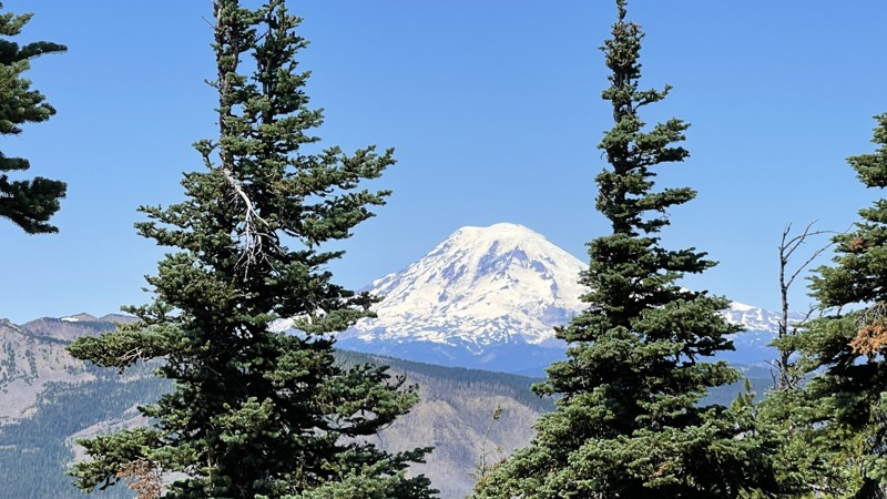
Greenwater Road, FS-70, is a Forest Service road that allows access to the Naches Trail, Pyramid Pass, and Stampede Pass. The road is mostly maintained and climbs in elevation to 4,800 feet, ending at "Government Meadows Horse Camp." Although designed for those with horses, there are no restrictions on its use.
Updated: 07/03/2024
Hart’s Pass
Mazama, Washington
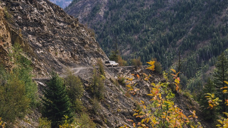
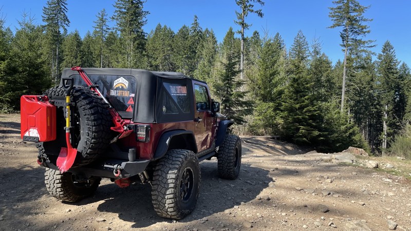
Slate Peak may be the tallest, but Hart’s Pass contains the terror. Believed to be the most dangerous road in Washington, the narrow road contains many twists and turns, with drops of several hundred feet. Oh, and there’s no guard rail. Anywhere.
Hart’s Pass was created in 1893 to be used with gold and silver mines. Today, it’s mostly used to travel to Slate Peak and the Pacific Crest Trail. This trail is beautiful with many spectacular views, but it is not for the faint of heart; it will definitely test your nerve. Trailers are not allowed on the trail, and larger vehicles such as RVs should also not be taken.
Updated: 06/09/2026
Tahuya 84N
Belfair, Washington
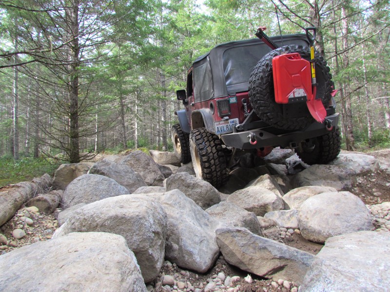
Tahuya State Forest ORV area is a great 4x4 destination for beginners up to seasoned veterans. While this forest trail system does have some challenging man-made rock gardens, for the most part, the only hindrance to stock vehicles would be the depth of some of the standing water in the fall, spring, and winter months and, of course, the "Rock Gardens" that were put in for more modified rigs. Tahuya has been nick-named "2-wheel Tahuya" as most of the trails are fairly easy. But some trails are definitely not for beginners. This makes it the perfect place for beginners to gain some skills before attempting more difficult trails. There is not really a good map produced that shows all of the trails in this park as some are 4x4, some are for motorcycles/ATV's, and some are just for walking/mountain biking. This trail write-up is called "84N". 84N is a loop trail that can be run in either direction. On this trail, you will encounter large mud-pits in the spring and fall months. There are also some stunning views of the surrounding "Olympic Mountains." This is just one of the many routes to explore in this ORV area. As a reminder, always tread lightly, stay on the trails, and follow the purple 4x4 triangles for other trails in the park.
Updated: 01/28/2024
Tahuya / Trail 55
Belfair, Washington
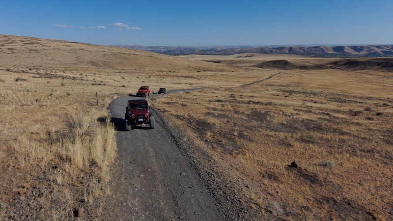
55 Trail is in the Tahuya State Forest ORV park outside Belfair, WA. The Tahuya State Forest ORV area is a popular 4x4 destination. This park was designed for beginning wheelers up to seasoned trail veterans. Trail 55 is located at the southern end of the park beginning on access road G-3000. 55 Trail has man-made obstacles making it significantly more interesting. The trail undulates with deep opposing holes designed to flex your vehicle's suspension, so be listening for the pop of your springs as your rig is stretched. The 15 man-made rock obstacles spread throughout the trail have a bypass to allow stock vehicles to try these obstacles. This trail is perfect for beginner drivers to gain experience on rocks.
Updated: 02/11/2023
Old Durr Road
Selah, Washington
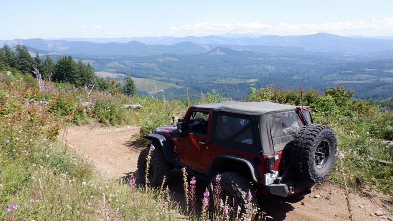
Are you ready to navigate an old covered wagon route? This road has some significant history as one of the first "Toll roads" in the state. The road traverses some beautiful high mountain desert, and tumbleweeds can usually be seen rolling down the road. This part of Washington can be stunning in the spring, with early spring flowers in bloom. At the top of Umtanum Ridge, the views back into Ellensburg and the I-90 corridor are fantastic.
Old Durr Road was built around 1880 and offered an alternative to the 28-mile wagon road through the Wenas Valley. The road crosses up and over Umtanum ridge to the Shushuskin Canyon. Jacob Durr, who lived in the Kittitas Valley, built the road over Umtanum Ridge using switchbacks with turntables. These were platform-like flat areas to turn wagons and horses and were used at each turn to navigate the steep hills. Though his route took 10 miles off the trip to Ellensburg, back then, the road was very rough and steep and was difficult on livestock pulling large loads. Mr. Durr charged $25.00 per year or $40 for a lifetime pass. The cost and difficulty prevented it from gaining popularity. Mr. Durr's tollgate was reportedly located at the Umtanum Creek crossing. The route now is very similar to the original road.
Updated: 06/05/2024
Mountain View
Camas, Washington
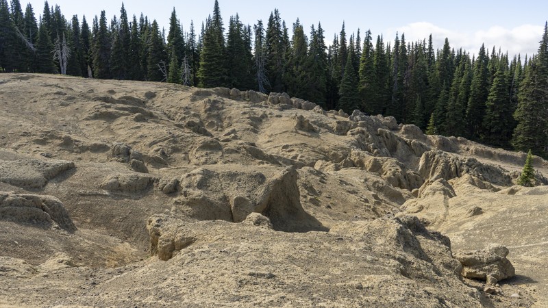
Mountain View is situated in Washington DNR land in a park called the "The Yacolt Burn." This is the highest trail in the Yacolt Burn OHV. This trail has you climbing up and breaking out onto a clear-cut area with fantastic views of the surrounding valleys and Mt. Adams about 30 miles to the east. After the views, you begin to run downhill, winding and twisting through a stump forest with roots and stumps begging to kiss your fenders as you make your way back to the west into the Yacolt Valley. The spring flowers on this trail are just amazing and are a must-see spectacle that doesn't get any better.
Updated: 06/05/2022
Mid Summit (Moon Rocks)
Cliffdell, Washington
Take your vehicle to the moon! Moon Rocks is a trail packed with unique rock formations resembling the lunar surface of our moon. This trail is as exciting as it is mysterious, with challenges ranging from a casual weekend trip to a hardcore rock crawling adventure. Whether you’re here to play or watch, you’re bound to have a great time, and at 20 miles west of Ellensburg, Washington, it’s a lot closer than the real thing. So, save yourself a 239,900-mile trip, and have a blast reliving your childhood dreams of traveling to the moon!

Updated: 07/01/2024
FR 119
Easton, Washington
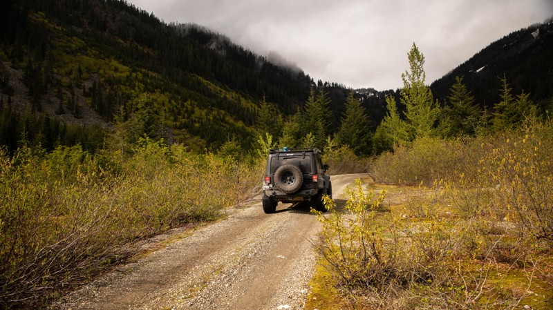
The area around Lost Lake, just directly south of Snoqualmie Pass, is a treasure trove for those looking to explore and find spectacular views and secluded campsites. Branching off of FR-5483, this route follows several forest roads (FR-114, 115, 119) up the mountainside to scenic views of Lost Lake and the surrounding peaks. Although short, at just under 5 miles, this trail provides visitors with several scenic views and excellent dispersed camping opportunities. This area is typically inaccessible when snow is present in the lowlands, so be sure to visit this area in late summer/early fall. In the fall, colorful foliage makes this route a prime spot for those looking to observe the changing seasons.
Updated: 07/15/2024
Rampart Ridge
Easton, Washington
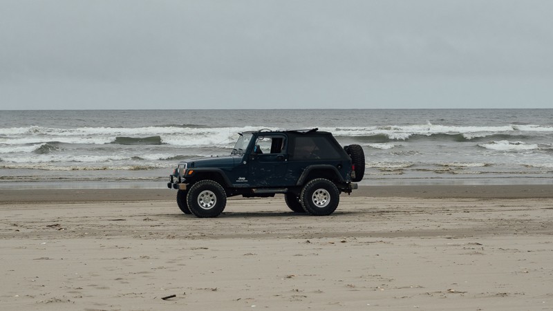
Rampart Ridge is a prominent ridgeline located in the Cascade Range northeast of Hyak, Washington, within the Alpine Lakes Wilderness. This trail follows two separate forest roads and takes visitors to the ridge base with scenic views and pristine forest along the way. Although the road continues further up the ridgeline, significant vegetation overgrowth prevents all but the bravest/most haphazard drivers from moving further up. Although not a particularly challenging route and likely doable in most vehicles, the road gives drivers a chance to give their suspension a bit of a stretch and satiate that craving for adventure.
Updated: 10/31/2023
Long Beach
Long Beach, Washington
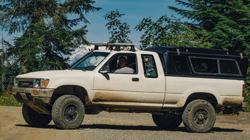
The World's longest drivable beach is a great place to enjoy a range of activities including kiting, fishing, picnicking, storm watching, biking, and hiking. It is a great family and pet-friendly beach with a rich history. Aside from the physical activities, you can check out the World Kite Museum, eat incredible seafood at any of the numerous restaurants, or check out the distillery. If you drive this beach in July, you may even see the yearly sand castle competition. Whether you are passing through or just looking for an evening away from the house, be sure to check this out!
Updated: 04/01/2024
NF-21 Connector
Packwood, Washington
The nearly 17-mile-long segment of NF-21 is the last trail in portion 1 of the Cascade Overland Route. Starting out near Walupt Lake, your elevation is 3,296 feet, before reaching 4,082 feet after approximately 3 miles. From there it’s all downhill until you reach 1,074 feet. Located at the northern end of the Gifford Pinchot National Forest, the route travels along the Goat Rocks Wilderness to the east, before reaching the end of the forest at the arrival of Highway 12.
At the intersection of NF-1250, it’s a 3.5-mile drive to Chambers Lake and its campground. Hiking trailheads, like Berry Patch Snowgrass, and Goat Ridge are also nearby. Another nearby hiking trail can be found at Waypoint 11, at the intersection of NF-2120. After about a half a mile, you’ll reach the trailhead for Angry Mountain; an 8-mile hiking trail that passes by Angry Mountain about 5.5 miles in, and will have you climb over 3,000 feet before intersecting with the Lily Basin Trail. At Waypoint 9, you’ll cross over Mission Creek. Throughout many portions of the trail, there will be many scenic views to be had on the left side, and near the end, water runoff may produce small waterfalls on the right side of the trail.
At the end of the trail, there is a small switchback before arriving at Highway 12. From there, you’ll want to turn right where the town of Packwood is less than 3 miles away, with full services. Though NF-21 is the last trail of this portion, and it will be another 40 miles until the next trailhead, the drive between waypoints is quite pleasant, traveling through White Pass and along Rimrock Lake.
This trail is part of the Washington Cascade Overland Route. Visit Overlanding Across Washington for more information, including which trails to take next.

Updated: 06/12/2024
Deer Park Road
Port Angeles, Washington
Deer Park Road offers an alternate journey into the Olympic National Park. The drive begins in the forest, with winding roads for a few miles. The trees are plentiful, yet sunbeams breakthrough, giving a beautiful contrast of light and dark. As the trees part, you begin to climb the mountainside, which gives you views into the valley below. Plentiful camping and views of the surrounding Olympics await you on this trip into the Park.

Updated: 11/06/2024
Evans Creek / Trail #102
Wilkeson, Washington
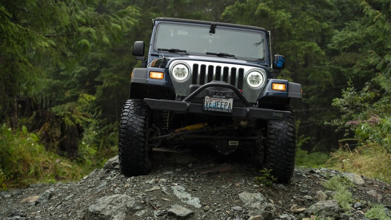
Trail #102 is within the Evans Creek ORV and part of the Mt. Baker Snoqualmie Forest. This trail is one of a dozen available in this park for off-road vehicle use. With over 45 miles of trail riding, Evans Creek ORV is an excellent destination for a weekend getaway. Trail #102 is one of the more challenging trails, with steep elevation climbs and nail-biting narrow turns that are incredibly tricky with high sides. Roots and trees are begging to snag a fender, a mirror, or scratch a hard top. Trail #102 is a trail you won't soon forget.
Updated: 03/12/2026
Humps and Bumps
Mount Vernon, Washington
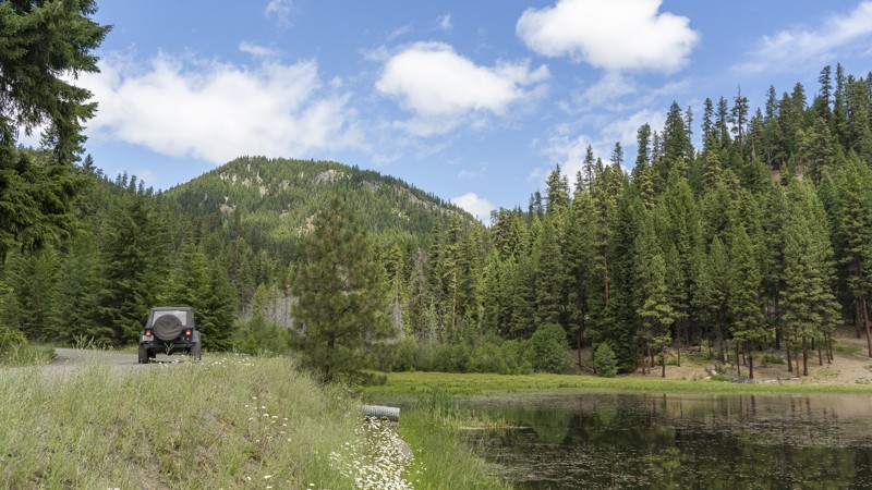
With a name like Humps and Bumps, you would be right to assume what this trail is about, with its many dips waiting to test your vehicle's suspension travel. After the recent logging, Humps and Bumps is now the second Jeep Badge of Honor in Washington State. Along with being a great choice for entry-level rock crawling, the trail also runs directly by the 4X4 Skills Area of the park, giving you a great opportunity to park your vehicle and watch your buddies push their rigs to the max. With so many options along this trail, this is one you won’t want to miss. Walker Valley ORV is comprised of 3,200 acres, with twelve 4X4 trails, and several more ATV and dirt bike trails. The trails offer many challenges like rocks, roots, and ruts. These obstacles will change from season to season, with the addition of snow and rain, which can also produce large puddles and muddy stretches. From the mild to wild, Walker Valley ORV provides something for everyone.
Updated: 05/01/2024
Milk Creek Road
Cliffdell, Washington
The moon may be made of cheese, but you’ll need milk to get there. Milk Creek is one of more direct ways to reach the local favorite Moon Rocks. The trail starts out light, but it will pick up some as you venture deeper into the woods. Located about 26 miles east of Ellensburg, Washington, it’s a relatively easy trail with some challenges, that leads to a more exciting experience.
Updated: 07/19/2023
Lion Rock
Ellensburg, Washington
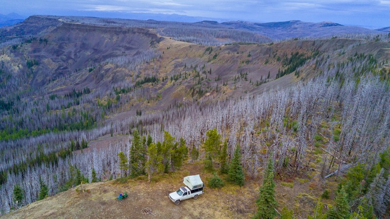
Lion Rock is a short trail, but holds an impressive view and campsite. Located in the Okanogan-Wenatchee National Forest, 18 miles north of Ellensburg, this trail takes you to the peak of Lion Rock. There you’ll find an expansive view of the valley below, and if you’re able to snag a campsite, you may wake up to see the fog rolling out the following morning. If not, there is an improved campsite earlier on in the trail. This is a great trail for anyone looking for a light drive, a rewarding view, and a memorable campsite.
Many trees in the area are burnt; the result of a forest fire from September of 2012. Caused by a lightning storm, it ultimately grew to over 42,000 acres, causing the nearby town of Liberty to evacuate. Lion Rock began as a camp and tree platform fire lookout in the 1920s. A 40-foot L-4 tower was built in 1932, and a garage-woodshed was added in 1938. A new lookout was then built in 1948, with the first tower being transferred to Sugarloaf Lookout in 1949.
This trail is part of the Washington Cascade Overland Route. Visit Overlanding Across Washington for more information, including which trails to take next.
Updated: 04/15/2024
Cabin Creek
Easton, Washington
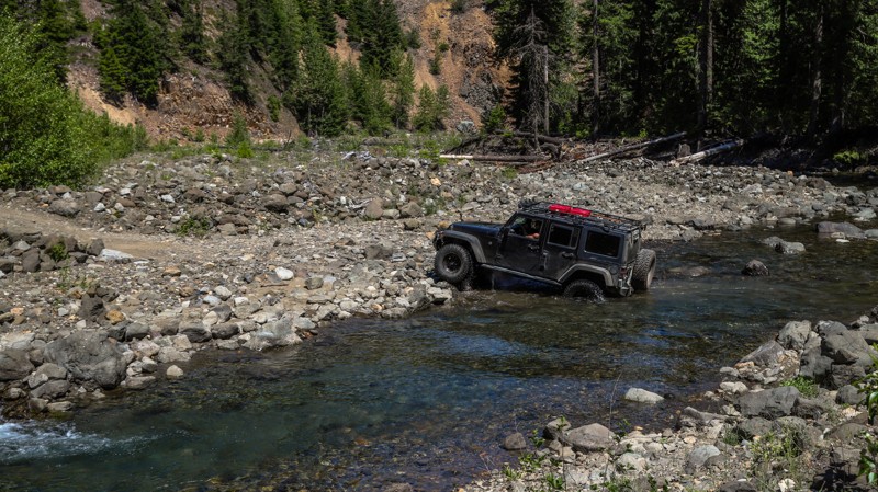
Situated just south of Easton in the Yakima River Wildlife Area, Cabin Creek is one of the many trails in the area that is popular with OHV enthusiasts. Due to a washout that destroyed the bridge years ago, access to further portions of the FR-41 trail has been limited to those willing to brave a water crossing across Cabin Creek, where water levels can vary from 1.5-5 feet depending on seasonal conditions. As the trail weaves up and along Cabin Creek, you will find many opportunities to access the river and perhaps enjoy a dip in its crystal clear waters. The challenging and scenic nature of this trail makes for a rewarding experience, with many opportunities to camp in solitude.

Updated: 07/01/2024
Obstruction Point Road
Port Angeles, Washington
Obstruction Point is a nearly 8-mile-long trail located on the Eastern side of the Olympic National Park. You arrive there after a 13-mile-long climb from Heart O' the Hills Ranger Station. The road to the trailhead is paved, with plenty of spots to pull over for early views of the mountains. The tallest peak, Mount Olympus, is nearly 8000 feet tall.
The nearly one-million-acre Olympic National Park is located in the North-Western region of Washington state and comprised of Pacific coastline, the western temperate rainforest, drier forest to the East, and the mountainous region in the center. The park was designated as the Olympic Forest Reserve by President Grover Cleveland in 1897, and ultimately as a national park in 1938 by President Franklin Roosevelt.
At the end of the route, there are 4 hiking trails ranging from a third of a mile to 7.5 miles, with overnight hike-in camping. It's a great way to experience the Olympic peaks that most will never know.
Updated: 04/27/2026
Midnight Creek
Greenwater, Washington
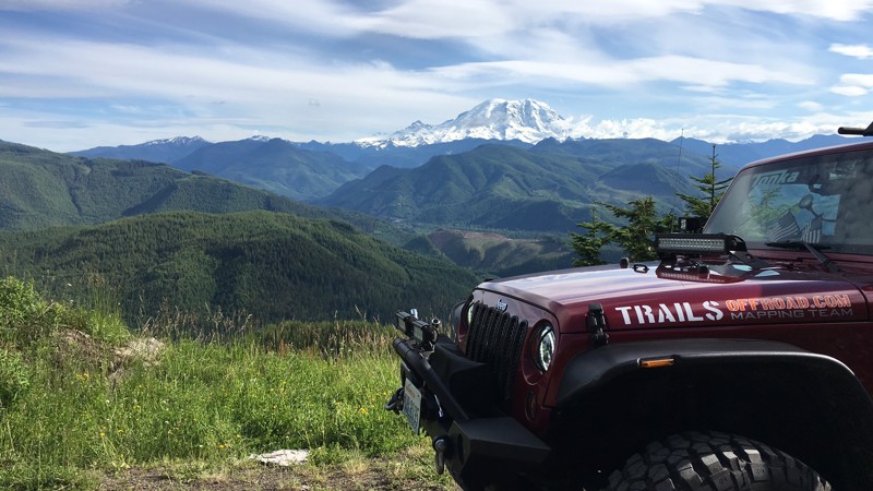
In and around the town of Greenwater, all the way up to the entrance of "Mt. Rainier National Park" and the Crystal Mountain Ski area, there is a network of interconnected Forest Service roads that can make for a day of fun and adventure. While most of these roads are not true "Jeep Trails", they do present some spectacular scenery with their stunning views of Mt. Rainier and the surrounding mountain valleys. These roads are also a great way for a novice to get to know their vehicle if they are new to the sport, or a way to just explore and see what lies around the next corner. The spring flowers are really nice, and most bloom well into mid-summer. There are dispersed camping spots all along these roads that are free to use, though you can expect no facilities.
Updated: 06/05/2022
Tahuya - West Loop
Belfair, Washington
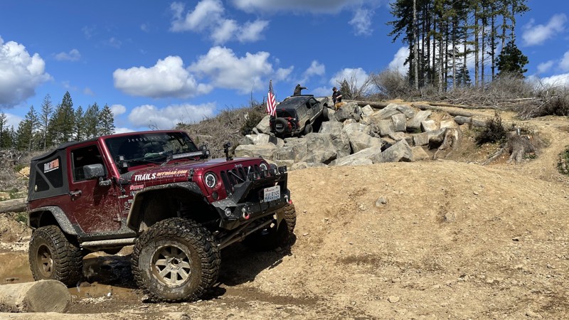
West Loop in Tahuya will put your maneuvering skills to the test like nothing else in the park, especially if you are driving a long-wheelbase vehicle. The off-camber sections will test your mind. The mounds and holes will test your entire rig. Expect to spend a lot of time on two or three wheels if you don't have a good flex in your suspensions. To reduce your risk of damage, always go with someone else, and make sure you have a good spotter through the tougher parts. Overall this trail is worth the effort and adds a ton of extra variety to the Tahuya ORV, adding a more serious challenge. Great props go to the volunteers putting in the hours to make this a great experience for everyone.
This is the newest edition to the Tahuya ORV sponsored by the Washington Department of Natural Resources and the "Quadra-Paws" Jeep club. DNR and Quadra-Paws have upped the ante for Tahuya. Tired of the nickname "Two-wheel-Tahuya", they decided to really turn up the difficulty up a notch.
Updated: 12/15/2023
NF-4948
Cle Elum, Washington
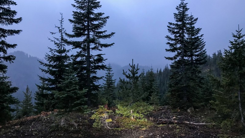
Located just east of Lake Kachess, this trail is one of the many roads situated among the ridges surrounding the I-90 lakes. This trail is fairly short and relatively easy, making it a great destination for those who don't want to travel too far but still want to see some great scenery. During the winter, these roads are popular with snowmobiles and the occasional 4x4 snow wheeler. This trail takes you to some nice secluded camping and scenic views and provides access to some excellent hiking.

Upgrade your Membership
Unlock all of the details on every Trail Guide and Scout Route.
Start a 7-day Free TrialCommunity
Partners

