


By clicking "ACCEPT", you agree to be the terms and conditions of each policy linked to above. You also agree to the storing of cookies on your device to facilitate the operation and functionality of our site, enhance and customize your user experience, and to analyze how our site is used.
Washington Off-Road Trails
187
Total Trail Guides 183

1735
Detailed Waypoints 156
Try a Free 7-Day Trial and unlock it all
Start a Free Trial Most Recent Trail Reviews
Rated 5/5
Open
Visited: 09/20/2026
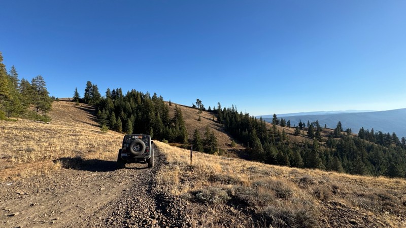
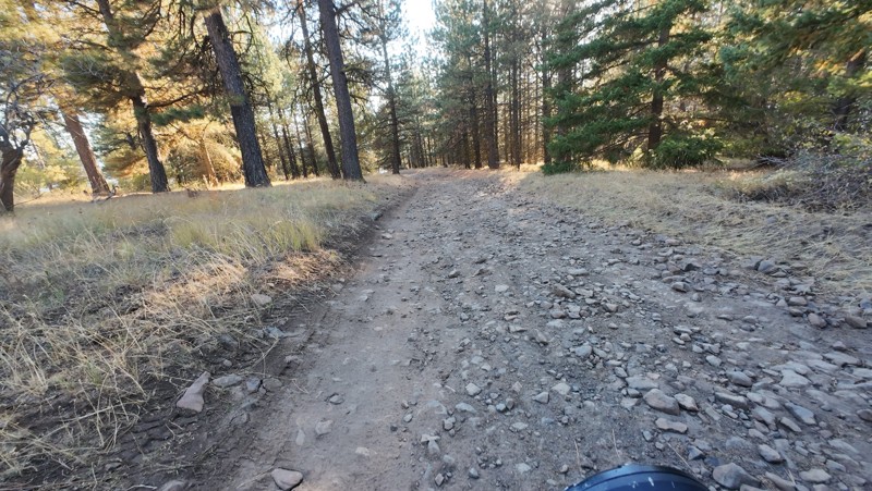
Traveled down from NS1712. The NS1711 is steep and loose gravel into the lower section along the hill side where the road surface becomes more level with gravel surface. Fantastic views from the top ...


John Kapelski
Official Crew
No Rating
Open
Visited: 09/19/2026
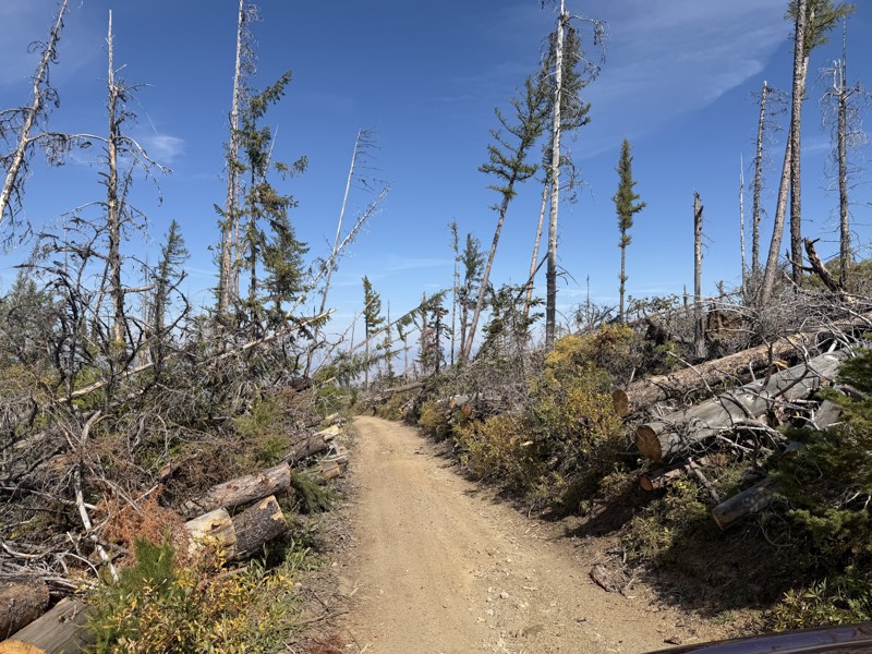
I drove this trail from the Wenatchee side all the way to Table Mountain Road in a Wrangler Rubicon. The Mission Ridge area had a couple of deep washouts on a narrow section of the road that were slo...
TS
Tom Stephens
Rated 4/5
Open
Visited: 09/13/2026
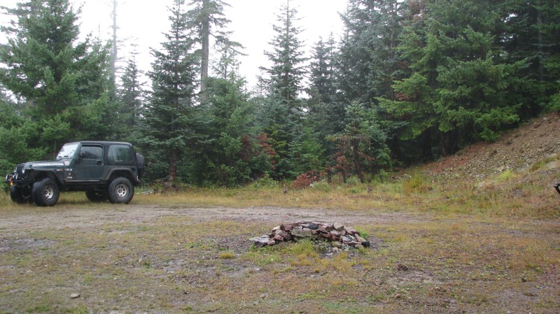
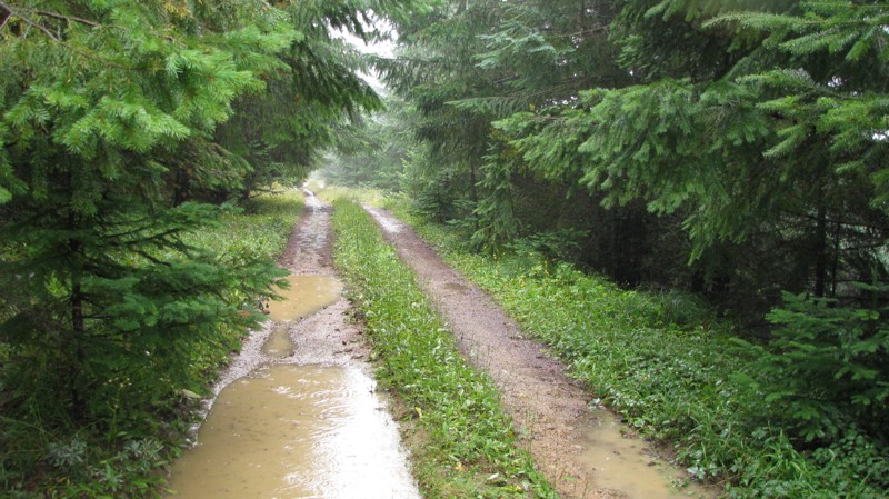
Easy hill climb to three very nice camp sites. Enclosed tree branches will provide compilatory light pinstriping and a mirror adjustment. First camp provides the most room for a group. Small trailer f...
John Kapelski
Official Crew
Rated 4/5
Open
Visited: 09/13/2026
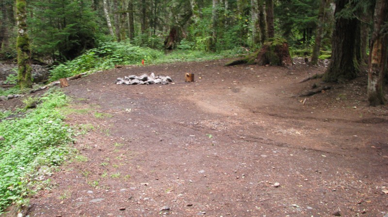
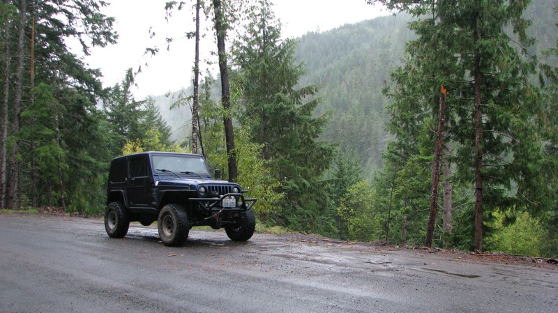
Short and sweet, Midnight Creek is an enjoyable drive through the forest at lower elevations. A dense canopy provides plenty of cool shade while the lush vegetation and abundant mountain runoff showca...
John Kapelski
Official Crew
Rated 5/5
Open
Visited: 09/13/2026
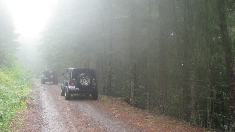
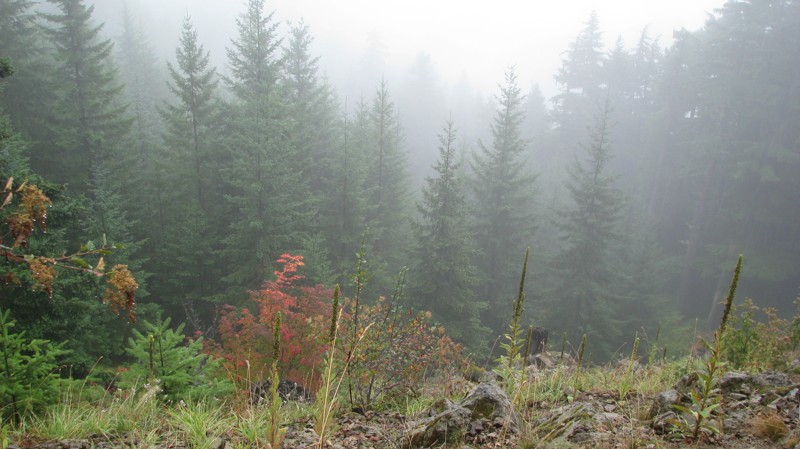
What a gem of a road! Even beneath the clouds, the route offers beautiful scenery, with early fall colors beginning to emerge and mist drifting through the surrounding mountains and forest of moss cov...
John Kapelski
Official Crew
Rated 1/5
Open
Visited: 09/13/2026
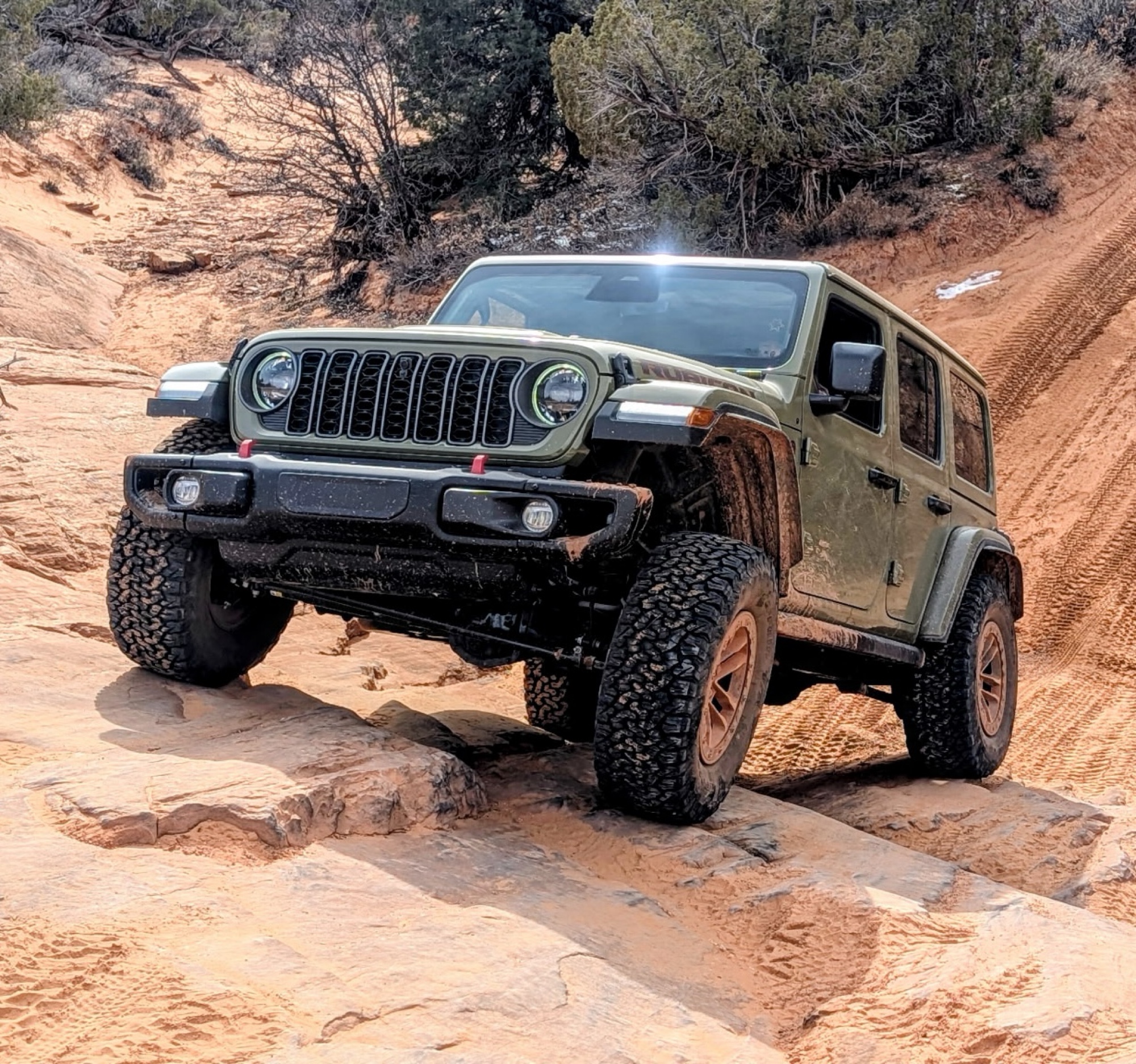
Total snooze fest. The most interesting part of the trail was when I ensured the gun was loaded driving past some local tweakers. Nothing to see here, much like the rest of the BOH trails in the PNW.
Francis whitney
Rated 3/5
Open
Visited: 09/09/2026
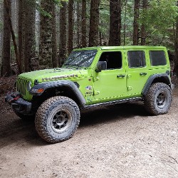
Beach access is easy and just about any vehicle can drive on the hard packed sand. A very important part that is not mentioned on the trail description is that driving on beach dunes is prohibited. Al...
Bill
Rated 5/5
Open
Visited: 09/07/2026
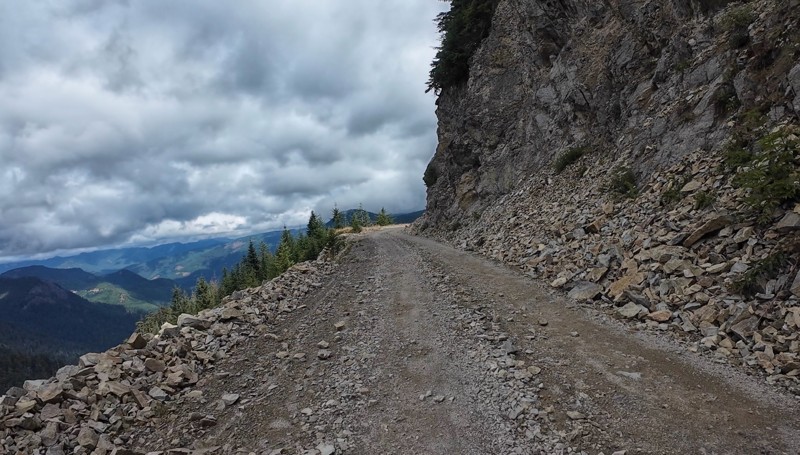
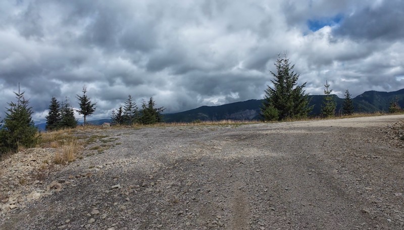
Very cool trail with multiple large campsites along the creek’s at the lower sections. Generally easy road surface with washboard areas.
John Kapelski
Official Crew
Rated 5/5
Open
Visited: 09/07/2026
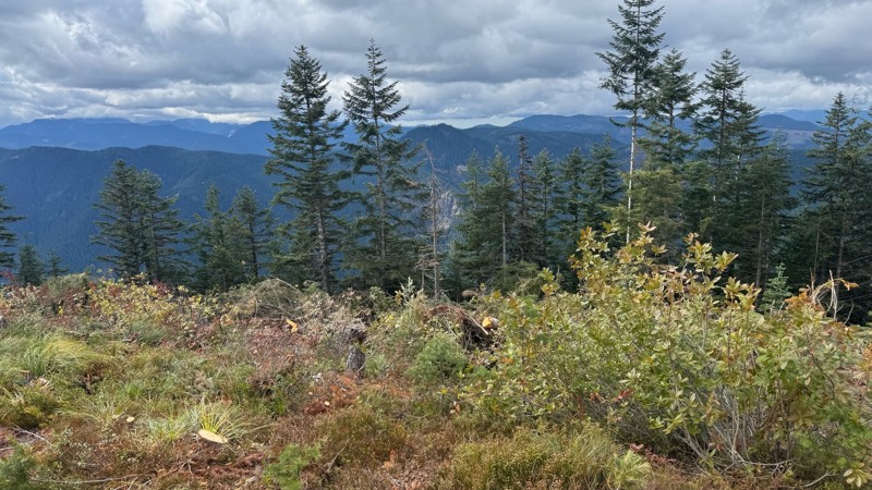
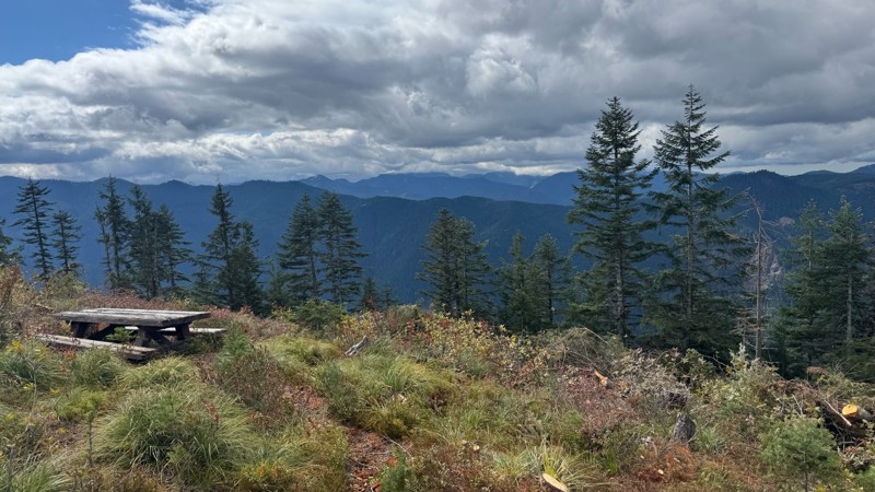
Road is easy and steep. Nice views thought the trees on the way up. Fabulous 360 degree views from the top. Cloudy days was not disappointing!
John Kapelski
Official Crew
No Rating
Open
Visited: 09/05/2026
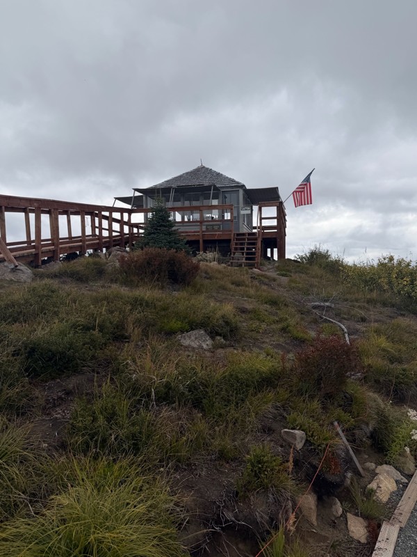
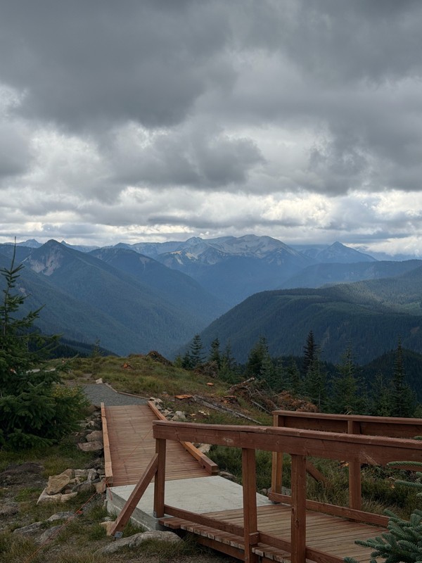
Difficult rating was spot on. Did the whole trail in 2 wheel drive. Grate views at the top
Austin Kapelski
Rated 4/5
Open
Visited: 09/05/2026
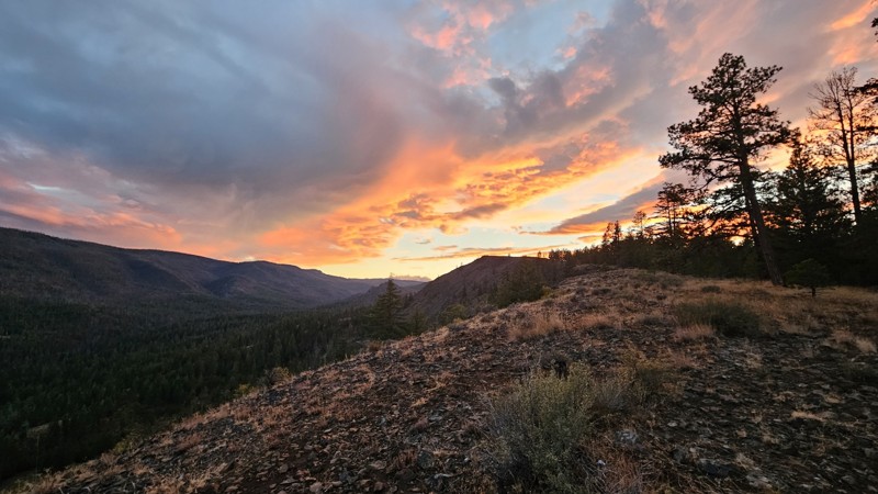
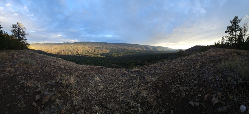
Nice quick camping trip, the campsite at the end of the road is still gorgeous, and sunsets are still pretty. the walk up to the actual devil's table is about a mile one way and 400' up, but nice view...

Ryan Wallace
Official Crew
No Rating
Seasonal Closure
Visited: 09/01/2026
According to this trails management agency, the trail is likely closed for the season.
You can reach out to the agency for more details.
Be sure to leave us a report and let us know ...

Trails Offroad
Official Crew
Rated 5/5
Open
Visited: 08/29/2026
Fun track with two people who have done this before and two, who haven't, a couple of nice waterfalls, and a good mix for everyone.
TW
Timothy Watson
No Rating
Partially Open
Visited: 08/29/2026
Tried access from North Wenas Highway at waypoint 8. Gate was posted with No Public Access. I would imagine waypoint 7 is the same as it appears to be private land???? Was not able to find access to w...
John Kapelski
Official Crew
Rated 5/5
Open
Visited: 08/28/2026
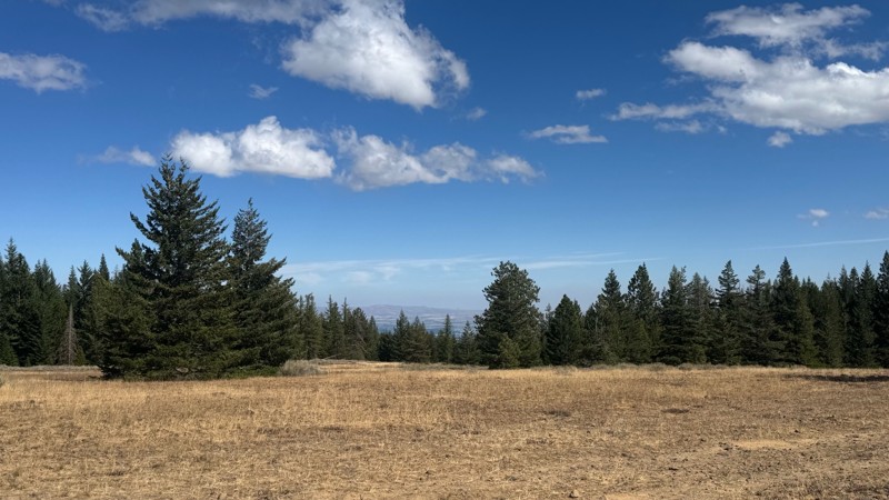
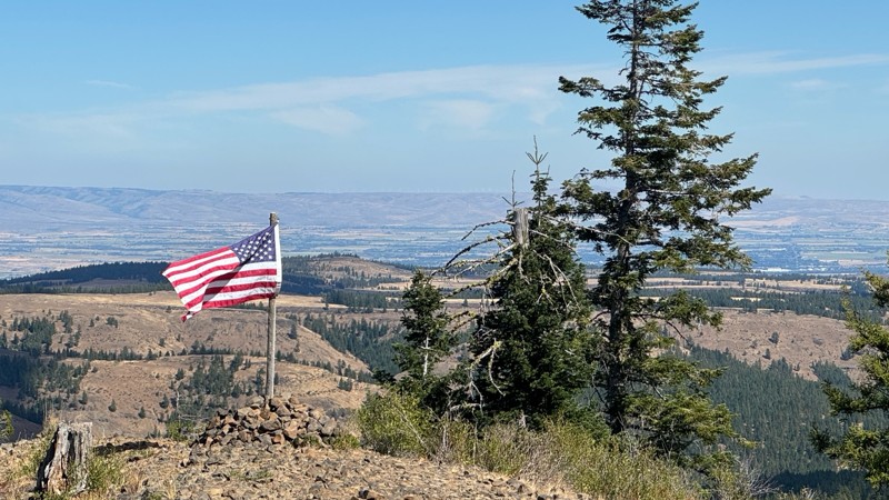
Continued from Rocky Flat,FS1701, down to Manastash Road. About 80% of the trail is down hill and never disappoints on the fun scale. More challenging that the 1701 and great views of the South Fork M...
John Kapelski
Official Crew
No Rating
Open
Visited: 08/28/2026
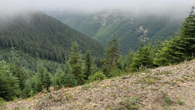
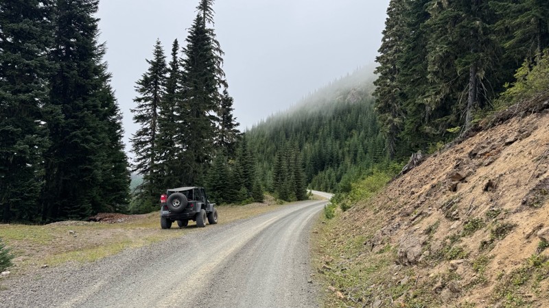
A great alternative to the Pyramid Pass route. Great camping looking over to Naches Trail
John Kapelski
Official Crew
Rated 5/5
Open
Visited: 08/28/2026
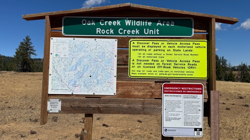
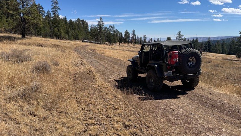
Nice dive up to waypoint 6 at five corners. Not as smooth as the initial incline but very scenic with great views to the west and east.
John Kapelski
Official Crew
No Rating
Open
Visited: 08/28/2026
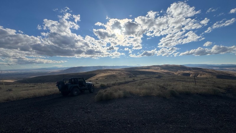
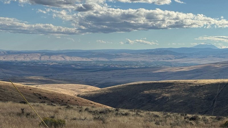
Connection area to Durr Rd and Old Durr Rd along with other trails is a bit confusing as there are “short cuts” to the same road. Umtanum Ridge is ruff. The high point is next to the towers with fant...
John Kapelski
Official Crew
No Rating
Open
Visited: 08/28/2026
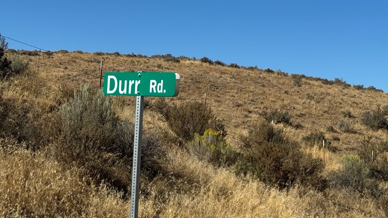
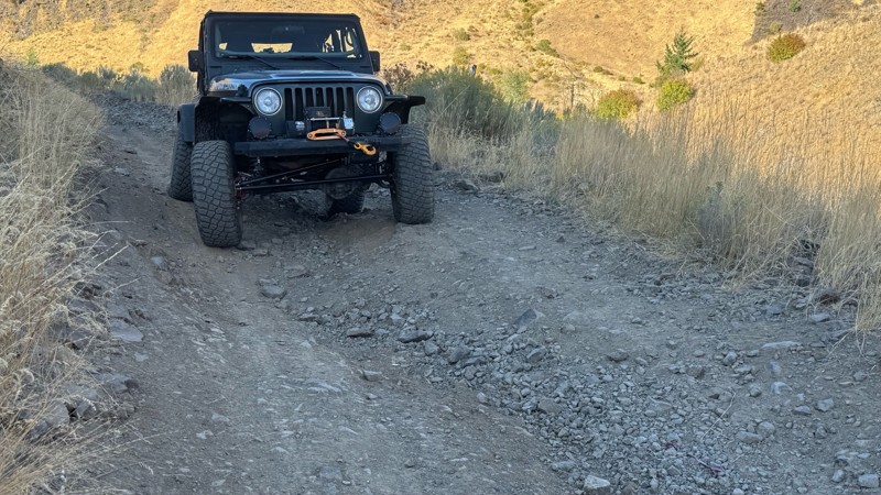
I drive this in the reverse direction of publish. Started out wide and smooth gravel surface than turned into a ruff narrow shelf road with limited places to pass. Best camping was at waypoint 3 by th...
John Kapelski
Official Crew
Rated 4/5
Open
Visited: 08/28/2026
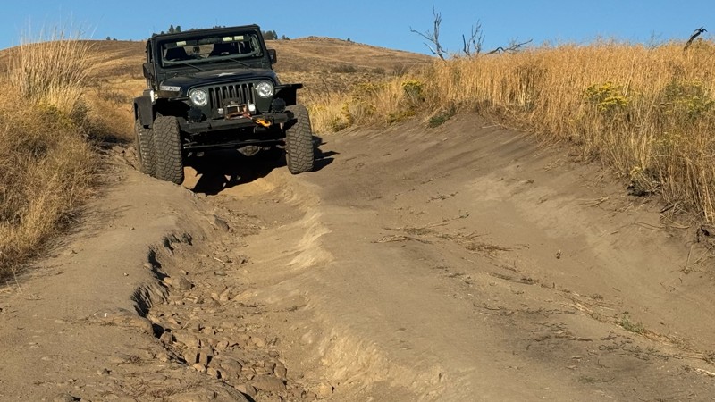
Waypoint 4-5 has changed due to water run off by exposing more rock face and creating deep ruts.
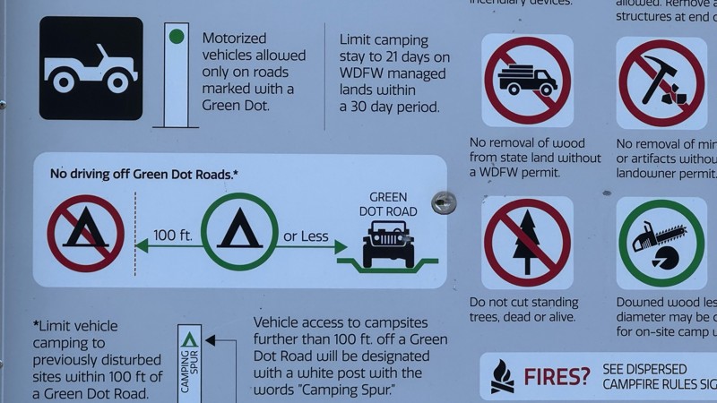
Large flat campsite next to waypoint 4, go straight before making the turn. It is the only site that ...
John Kapelski
Official Crew
Rated 4/5
Open
Visited: 08/28/2026
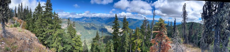
Incredible view on top! Unfortunately saw a group packing up camp on our way up and on our return down they had left lots of trash and a fire still burning during extreme fire danger and burn ban! We ...
J
Jason
Rated 4/5
Open
Visited: 08/20/2026
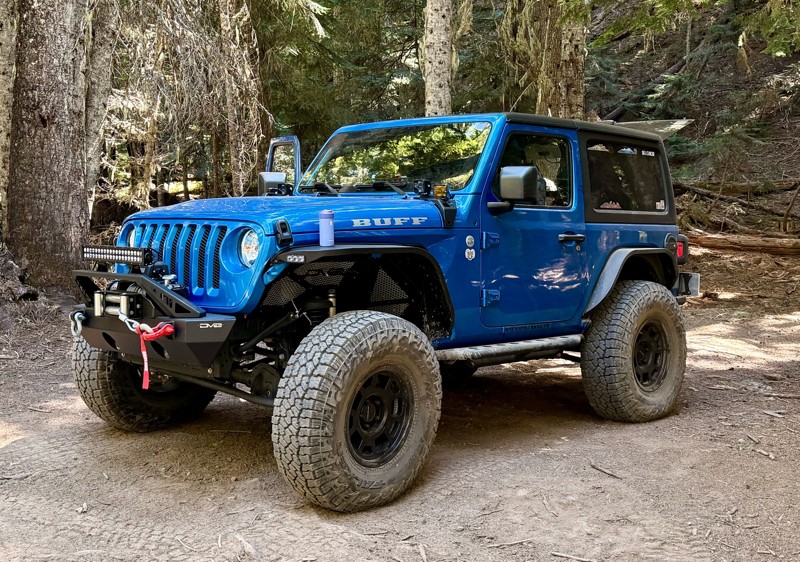
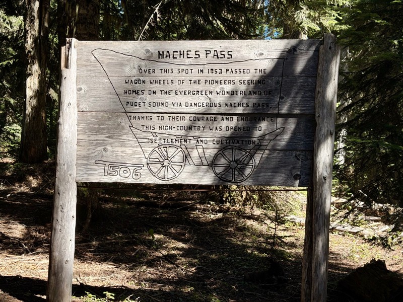
The trail is in great shape minus the section where the bridge is down. Ran into 1 other vehicle a SxS going east we were headed west. At the PCT cabin we talked to 4 through hikers refueling themselv...
CD
Carl Duester
No Rating
Open
Visited: 08/20/2026
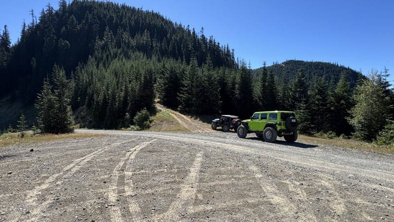
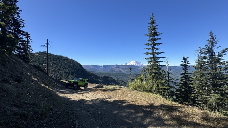
This road system offers continuous views of Mount Rainier to the south while climbing toward the rugged peaks of the northern Cascade Range. This short, enjoyable trail is well worth the few extra mi...
John Kapelski
Official Crew
Rated 3/5
Open
Visited: 08/17/2026
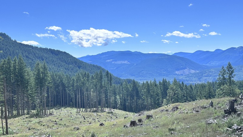
5 Road is exactly that a dirt road. Any 2WD vehicle can easily negotiate this trail. This trail is trailer friendly, but some of the tight turns are not suitable for longer trailers/campers. There are...

Eric Gartin
Official Crew
Rated 5/5
Open
Visited: 08/16/2026
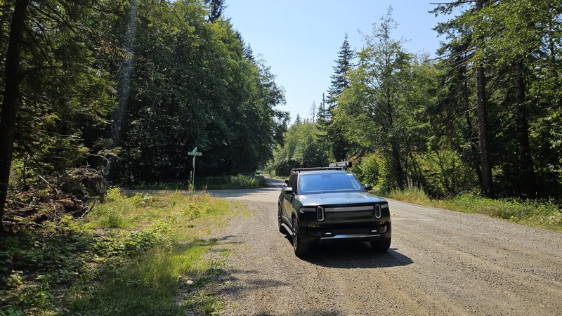
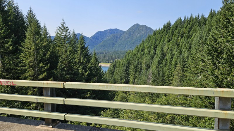
Our trip around the Wynoochee Loop was a mix of incredible scenery and some pretty technical driving. Traveling counterclockwise, we really felt the challenge starting on the final climb to the peak. ...
Ryan Wallace
Official Crew
Rated 5/5
Open
Visited: 08/15/2026
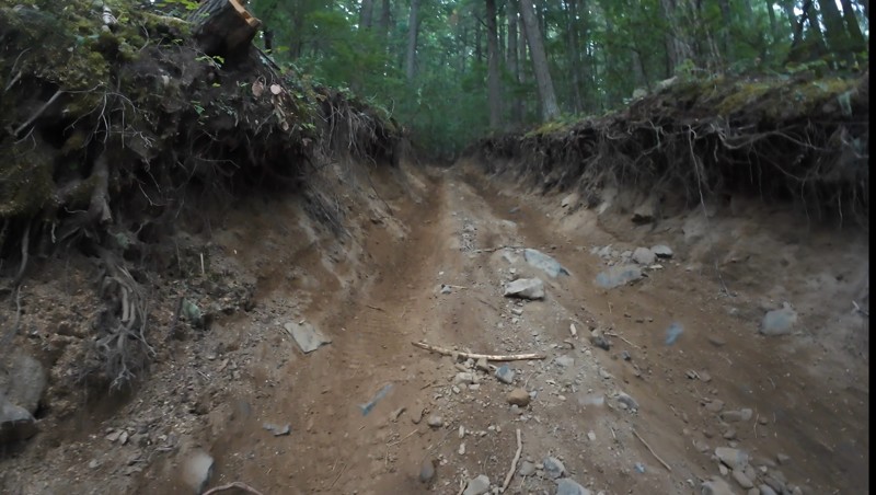
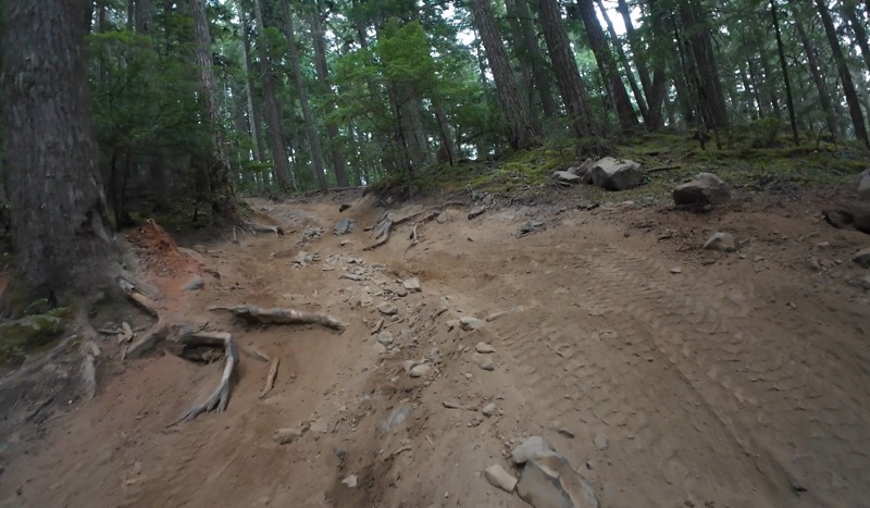
Wonderful day!!!!! Meet a two fellas doing their first trail ever. Shame on me for getting more photos. They had a BLAST!!!!! Hope to see them again.
John Kapelski
Official Crew
No Rating
Open
Visited: 08/11/2026
Per the MVUM, the trail is seasonally open. As always, check current fire restrictions/closures before venturing out.
Trails Offroad
Official Crew
No Rating
Open
Visited: 08/11/2026
Per the MVUM, the trail is seasonally open. As always, check current fire restrictions/closures before venturing out.
Trails Offroad
Official Crew
No Rating
Open
Visited: 08/11/2026
Per the MVUM, the trail is seasonally open. As always, check current fire restrictions/closures before venturing out.
Trails Offroad
Official Crew
No Rating
Open
Visited: 08/11/2026
Per the MVUM, the trail is seasonally open. As always, check current fire restrictions/closures before venturing out.
Trails Offroad
Official Crew
No Rating
Open
Visited: 08/11/2026
Per the MVUM, the trail is seasonally open. As always, check current fire restrictions/closures before venturing out.
Trails Offroad
Official Crew
No Rating
Open
Visited: 08/11/2026
Per the MVUM, the trail is seasonally open. As always, check current fire restrictions/closures before venturing out.
Trails Offroad
Official Crew
No Rating
Open
Visited: 08/11/2026
Per the MVUM, the trail is seasonally open. As always, check current fire restrictions/closures before venturing out.
Trails Offroad
Official Crew
No Rating
Open
Visited: 08/11/2026
Per the MVUM, the trail is seasonally open. As always, check current fire restrictions/closures before venturing out.
Trails Offroad
Official Crew
No Rating
Open
Visited: 08/11/2026
Per the MVUM, the trail is seasonally open. As always, check current fire restrictions/closures before venturing out.

Todd
Official Crew
No Rating
Open
Visited: 08/11/2026
Per the MVUM, the trail is seasonally open. As always, check current fire restrictions/closures before venturing out.
Todd
Official Crew
No Rating
Open
Visited: 08/11/2026
Per the MVUM, the trail is seasonally open. As always, check current fire restrictions/closures before venturing out.
Todd
Official Crew
No Rating
Open
Visited: 08/11/2026
Per the MVUM, the trail is seasonally open. As always, check current fire restrictions/closures before venturing out.
Todd
Official Crew
No Rating
Open
Visited: 08/11/2026
Per the MVUM, the trail is seasonally open. As always, check current fire restrictions/closures before venturing out.
Todd
Official Crew
No Rating
Open
Visited: 08/11/2026
Per the MVUM, the trail is seasonally open. As always, check current fire restrictions/closures before venturing out.
Todd
Official Crew
No Rating
Open
Visited: 08/11/2026
Per the MVUM, the trail is seasonally open. As always, check current fire restrictions/closures before venturing out.
Todd
Official Crew
No Rating
Open
Visited: 08/11/2026
Per the MVUM, the trail is seasonally open. As always, check current fire restrictions/closures before venturing out.
Todd
Official Crew
No Rating
Open
Visited: 08/11/2026
Per the MVUM, the trail is seasonally open. As always, check current fire restrictions/closures before venturing out.
Todd
Official Crew
Todd
Official Crew
Todd
Official Crew
No Rating
Temporary Closure
Visited: 08/11/2026
Closed due to the Sinlahekin fire.
Todd
Official Crew
No Rating
Open
Visited: 08/11/2026
Per the MVUM, the trail is seasonally open. As always, check current fire restrictions/closures before venturing out.
Trails Offroad
Official Crew
No Rating
Open
Visited: 08/11/2026
Per the MVUM, the trail is seasonally open. As always, check current fire restrictions/closures before venturing out.
Trails Offroad
Official Crew
Most Popular
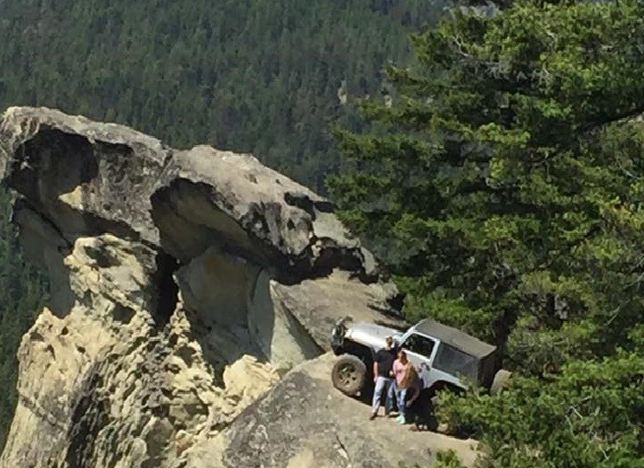
Updated: 07/15/2024
Cougar Springs/Hole in the Rock
Cle Elum, Washington
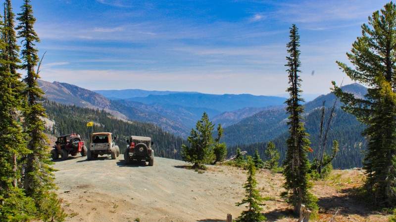
Cougar Springs Trail, AKA "Hole in the Rock", is the trail that most people flock to once in the Liberty trails system. Everyone wants that Iconic shot of their vehicle up on the rock overhanging the valley 600 feet below. A relatively easy trail for most vehicles, although some tight turns and squeezes keep the bigger rigs away, a narrow axle vehicle with high clearance will have no trouble navigating this trail. Use this trail as a shortcut to get to Lions Rock for a sunset, (another epic photo opportunity), or take this trail to enjoy the scenery at the top of some of the most beautiful ridges in the Eastern Cascades and the Cle Elum Ranger District
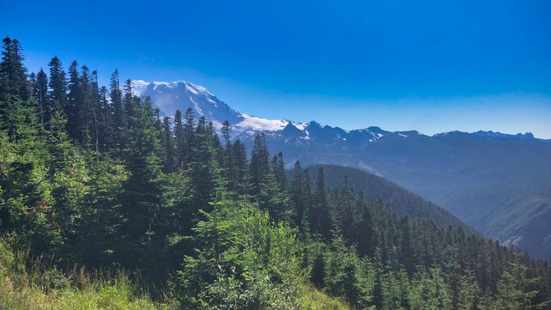
Updated: 07/17/2024
NF-410 to Mount Rainer Viewpoint
Greenwater, Washington
NF-410 is a short unmaintained Forest Service road that takes you on a climb up to 5800 feet to an incredible view of massive Mount Rainer. Along the trip, there are many opportunities to stop and take pictures of the surrounding mountains and valleys. Near the top, you ride the ridgeline and have incredible views on both sides. From this point, you tower over 700 feet above peaceful Lonesome Lake.
At the end of the trial get ready to lose your breath. As the narrow road opens up, you will see Mount Rainer above the tree line directly ahead of you. It feels like you are on a path to the top of the mountain. The blue sky and white snow on the mountain towers above the dark green evergreen trees. This view of Mount Rainer is a magical sight to behold.
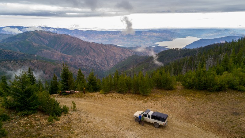
Updated: 05/30/2023
Slide Ridge Road
Chelan, Washington
Slide Ridge Road takes you on an adventure through the Okanogan-Wenatchee National Forest. Located 12 miles West of Chelan, Washington, the trail begins as lightly treed with lots of brush but progresses back into a thick forest. Views of Lake Chelan are plentiful. A climb of over 3,700 feet takes you to the height of the trail, where you’ll find the hiking trailhead of Devil's Backbone Trail. Afterward, it’s a descent of over 4,200 feet, as you head toward the town of Chelan, Washington. This is a vast, beautiful drive covering many miles and several thousand feet of elevation change, spanning over a variety terrain. It’s a great route to take for high-elevation hiking, an overlanding trip, or for a memorable day trip.
This trail is part of the Washington Cascade Overland Route. Visit Overlanding Across Washington for more information, including which trails to take next.
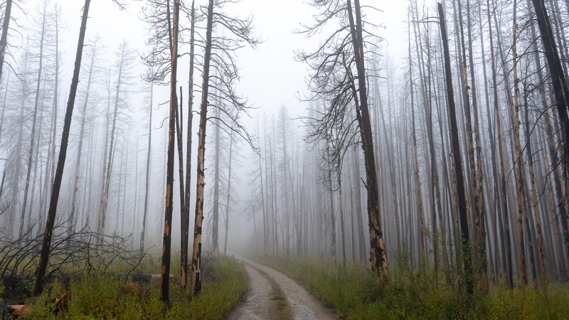
Updated: 06/05/2022
Cooper Mountain Road
Chelan, Washington
Cooper Mountain Road is an easy, pleasant drive in the Okanogan Wenatchee National Forest. The trail begins 7 miles north of Chelan, Washington, traveling north into the forest. About a third of the way in, it reaches the summit of Cooper Mountain, at 5,856 feet. There, you can stand on a rocky outcropping, looking at the valley to the west. Near the end of the trail passes by Fox Peak, where there’s a brief and slightly challenging bypass option. This is an easy, long trail with several camping options, and is a nice addition to an already amazing overlanding experience.
This trail is part of the Washington Cascade Overland Route. Visit Overlanding Across Washington for more information, including which trails to take next.
Updated: 06/05/2024
Old Ugly
Camas, Washington
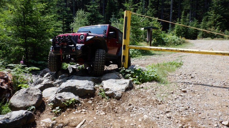
Old Ugly is just that, ugly. Looks aren’t everything, though, as this is one of the most fun and exhilarating trails in the Yacolt Burn State Forest. It will keep you on your toes the entire time with its many twists and turns and well-placed boulders to maneuver. While you will be paying attention to your wheel placement, good views of Mt. Adams will be off in the distance for you to see when you look up. Combine this with six other trails in the area for a full day or weekend of off-road fun.

Updated: 06/05/2022
Elbe Hills OHV - Busywild Trail
Elbe, Washington
The BusyWild Trail is the premier trail of the Elbe Hills OHV area. This was the trail JKX "The JK Experience" featured in 2014, it was also the trail that did the most damage to their rigs. In season, the "Busy" is just another trail with rocks and stumps; out of season, (winter) it is to say the least, a mess, a bumper crushing, diff smashing, body denting, window breaking, mirror ripping, mess! Dugout walls of dirt, rocks and tree roots can dwarf even the most lifted vehicles. Off camber holes on tight turns where the only way around are to use your rock sliders or even your mirrors to push you into the right track. Dual lockers, body armor, a winch, and a minimum of 36" tires are the recommended equipment; with good lines and determination a lesser built rig can conquer the trail, but it is not recommended out of season.

Updated: 04/01/2024
Amabilis Mountain
Easton, Washington
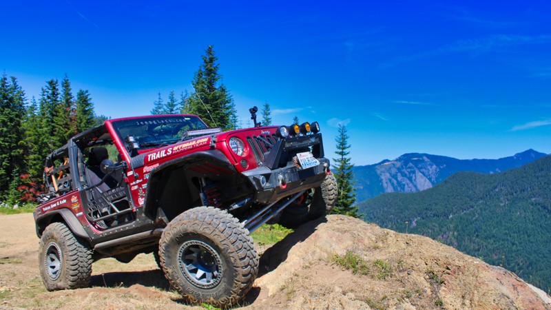
Located just north of Interstate 90, Amabilis Mountain looks over Kachess Lake and the surrounding ridgelines. Amabilis Mountain stands on its own, somewhat isolated from the nearby massive ridgeline ending with Keechelus Ridge. Its proximity to the highway and the relative ease of the route makes it a nice option for those looking for a quick getaway to mountain and forest views. The route follows a fairly well-maintained forest road for several miles, which transitions near the summit to a more muddy and rough area, interspersed with campsites and several areas to enjoy the views. During the winter this winding route to the summit is one of the more well-known cross-country ski and snowshoe trails.
Updated: 11/06/2024
Evans Creek / Trail #519
Wilkeson, Washington
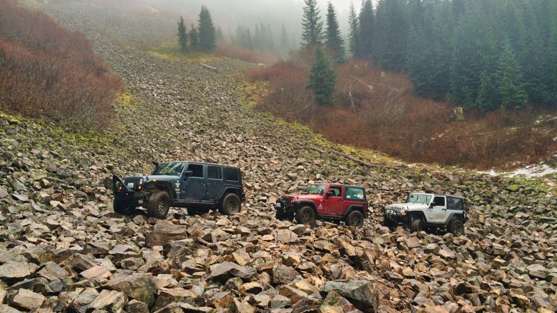
Trail #519 is in the Mt. Baker Snoqualmie National Forest within the Evans Creek ORV park area. It is one of a dozen trails in this park designated for 4x4 use, forming over 45 miles of trail riding. Trails are well marked and rated from Easy to Most Difficult. Trail #519 climbs to the highest point in the park and is a must-ride on sunny days for stunning vistas of Mount Rainier and the surrounding peaks and valleys. Combining those views with hill climbs, off-camber sections, and an unforgiving stump obstacle makes this a trail to remember.
Updated: 11/06/2024
Evans Creek Trail 520
Wilkeson, Washington
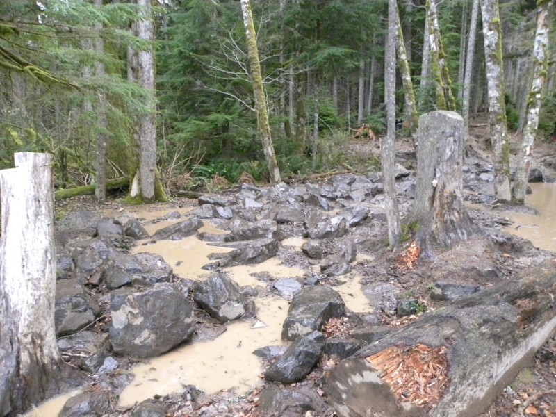
Trail #520 within the Evans Creek ORV area is one of a dozen trails designated for 4x4 use for over 45 miles of trail riding. Evans Creek is an excellent destination for a weekend getaway. Trail #519 is one of the more exciting trails, with steep elevation climbs, nail-biting narrow turns, and snow at higher elevations, depending on the time of year. There are also many views of nearby Mt. Rainier and other alpine vistas. Trails are well marked and rated from Easy to Most Difficult. This trail is one of the park's most difficult due to its hill climbs, switchbacks, nail-biting off-camber sections, and tight and twisting turns through 4-6 foot deep root walls. You will remember this trail, whether with reverence or because of the body damage.
Updated: 10/22/2023
Elbe Hills OHV - Mainline Trail
Elbe, Washington
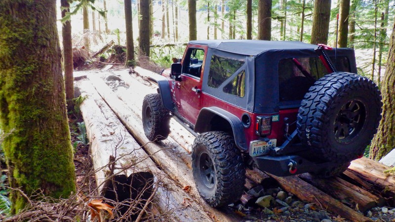
There are two ways onto the Mainline, one is where Sunrise dumps out and the other is from the main road. The trail has a few loop-de-loos and a bit of an area to play at the beginning, leading into a tight trail that will possibly cause some body scraping if you aren't careful. Trees are tight through here and a short wheel base vehicle will have an easier time on this trail; old Broncos and 4 door Jeeps may need to make multi-point turns in some areas. When in season the Mud Bog is sure to mire the best built of rigs; it is a throttle wide open, mud filled playground! Go ahead and think that your lockers and MTs will get you through, but don't count on it, the mud is bottomless and this is one area that never seems to dry up. The best part of the Mainline Trail is the Hill Climb, a 60 degree slope that can turn treacherous with just a few drops of rain. Once you are clear of the trees, the trail turns into basically a logging road which connects you to the other trails in the system.
Updated: 05/15/2024
Deer Flats Trail
Gold Bar, Washington
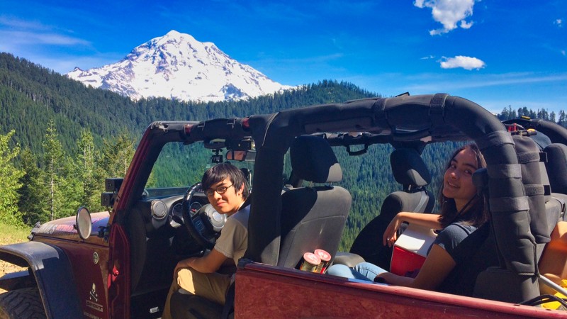
Reiter Foothills Forest is a 4x4 Recreation area with trails designated for 4x4's, ATV's and motorcycles. There are 8.6 miles of trails for 4x4 use, with about twice that amount in the planning stages. Reiter is noted for its quality rock crawling trails, and they are rated 9-10 for sure. But there are other trails like this one that is more moderate with lots of tight twists, stumps, and roots to keep things interesting. Although Deer Flats trail is just over a mile long, its many twists and turns make it feel much longer once you reach the end.
Updated: 04/01/2024
Evans Creek / NF-7930
Wilkeson, Washington
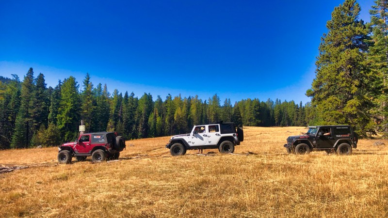
NF-7930 in the "Evans Creek ORV" area is one of a dozen or so trails available in this park designated for 4x4 use, for a total of over 45 miles of trail riding. Evans Creek is a great destination for a weekend get-away and has a Campground with 23 spaces for use with tents or RV's. There are many views of nearby Mt. Rainier and other alpine vistas. Trails are well marked and even rated from "Easy" to "Most Difficult" NF-7930 is a forest service access road that takes you up into the higher elevations of the ORV area. Here you can access Trails #310, #519 & #520.
Updated: 06/15/2024
Clover Springs
Nile, Washington
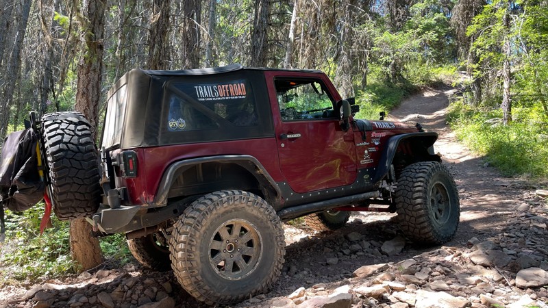
If you are looking for an out-of-the-way place to wheel, explore mountainous terrain, and test your driving skills, this is the trail for you. The trail starts on a Forest Service road and steadily climbs through an old-growth forest. At the time of this writing, deadfall trees were blocking the trail. A chainsaw would be a good idea early in the season, as you might be the first one here. There are off-camber areas that can cause white knuckles and rocky hill climbs that may require ground guide assistance. Two more trails in the area are equally challenging, making this area a great way to spend a day.
Updated: 07/17/2024
Guard Station
Liberty, Washington
If you are down for some "Nail-Biting" hill climbs that will have your passengers looking for hand-holds and some "Oh-Sh#t" moments, this trail is right up your alley. Once at the top, the views of Mt. Rainier in the distance and the surrounding valleys are spectacular. Guard Station is one of many trails located in the Liberty OHV area. Along with a few others, this trail is located on the west side of US Highway 97. These trails are significantly harder than those in the rest of the Liberty OHV on the east side of US Highway 97.
Updated: 12/02/2025
Hawkins Mountain Trail
Driftwood Acres, Washington
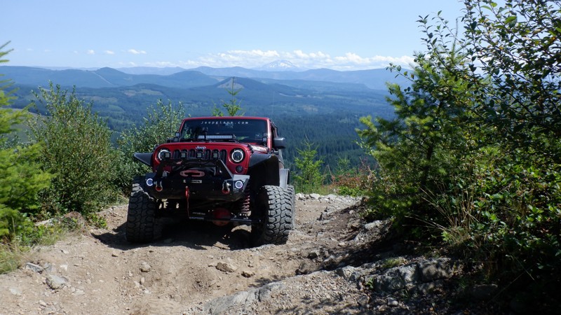
The Hawkins Mountain Trail, a rugged spur branching off the Fortune Creek route near Gallagher Head Lake, follows the remnants of early-1900s mining roads originally carved into the mountainside by prospectors searching for gold, silver, and chromium. You can still see pilings along this trail, leftover from the mining operations. The trail is short but very steep and might present some challenges to vehicles with stock tires. For those brave enough, there is a reward with some of the most spectacular views of the surrounding mountains. The Wind Turbines on I-90 can be seen 60 miles away on a clear day. The trail winds up the mountain with some twists and turns and gut-wrenching hill climbs, not for the faint of heart. There are some high mountain meadows that are alive with spring flowers. Please stay on the trail and out of the meadows.
Updated: 06/05/2024
Hagen Creek
Camas, Washington
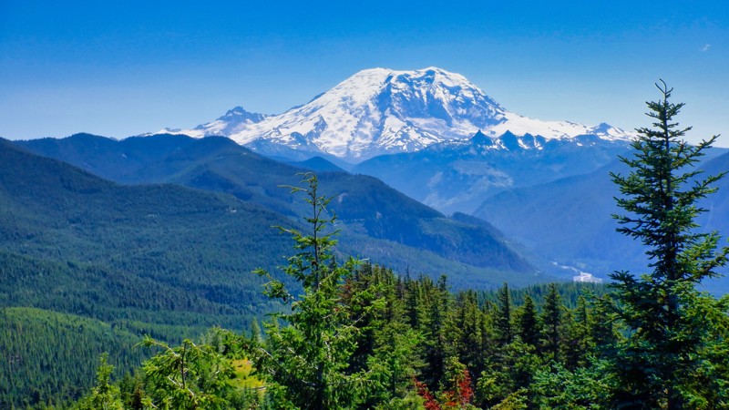
Hagen Creek trail is a reasonably easy trail on your way out to the loop lookout. It was built through a mostly clear-cut area that is slowly recovering. The views of Mt. Adams and the valley below are spectacular on a clear day. On the return from the lookout, you can choose to take the easy way, back out the way you came in, or give yourself a challenge. This optional route tests both machine and your nerve as you climb your way steadily through the tight and twisting switchbacks and end up connecting at the top with more trails to explore. Be sure to consider this as a warm-up for a fun-filled weekend!

Updated: 05/02/2025
Mowrich Lake Road
Fairfax, Washington
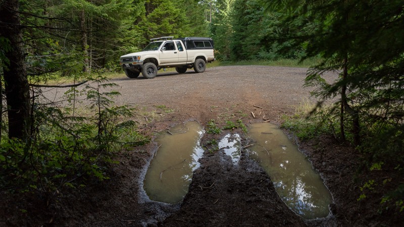
Mowich Lake Road, Highway 165, is located in the Snoqualmie Mt. Baker National Forest, five miles south of Wilkeson, WA. This gravel 17-mile dirt road climbs to just over 5000 feet and ends at Mowich Lake in the Mt. Rainier National Park. On your way to the lake, there are fantastic views of Mount Rainier and the surrounding hills and valleys.
Along this road is Evans Creek ORV, a dedicated 4x4 park with marked trails for 4x4 vehicles, quads, and motorcycles. This park has a fantastic campground with over 40 campsites and vault toilets.
Set in a glacial basin surrounded by beautiful wildflower meadows, Mowich Lake is the largest and deepest lake in the Mount Rainier National Park. There is non-motorized boating and fishing at the lake. The Mowich Lake campground is located near the parking area and supports tent camping only. There is access to many hiking trails, including the Pacific Crest trail which traverses the U.S. from Mexico to Canada. This campground is one of the many overnight stops the distance hikers use.
Because this road travels into the Mt. Rainier National Park, there is a fee to travel to the lake when you enter the park at about the nine-mile mark. The fee is paid using cards at a kiosk as you enter the park. The fee for traveling to the lake is $30 per vehicle and is good for seven days. You can also pay online before you visit. Because of the easy access, the lake is very crowded on weekends.
This road is only open seasonally from mid-July to mid-October, depending on snowfall.
Updated: 08/29/2023
NF-68 (Eastern End)
Stevenson, Washington
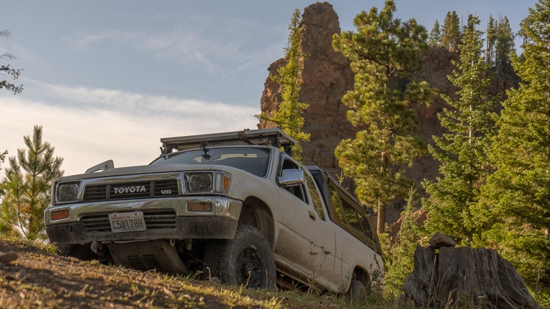
NF-68 is an easy trail that continues off of NF-6808 and leads you further into the Gifford Pinchot National Forest. Some narrow portions may cause pinstriping on larger vehicles. Otherwise, this is a nice area with light trails, that is welcoming for newcomers and experienced travelers alike. This trail is part of the Washington Cascade Overland Route. Visit Overlanding Across Washington for more information, including which trails to take next.
Updated: 06/05/2022
NF-1500
Naches, Washington
After departing the dense woods of the Gifford Pinchot National Forest near Packwood, Washington, you’ll find a much different terrain on NF-1500, which also leads to Bethel Ridge. Bethel Ridge is a wonderful drive with breathtaking views, but it is more challenging and can get muddy at times. For those reasons, and if heights aren't your thing, staying on NF-1500 is a great choice.
At the beginning of the trail, you may find cattle wandering freely at the lower elevations. After climbing a series of switchbacks, you’ll ascend over 3,000 feet before reaching your maximum elevation of 5,670 feet. As you enter the Okanogan Wenatchee National Forest, the scenery begins to make a noticeable change. While there is still an abundance of trees, they begin to thin out, and you’ll be able to see many of the nearby mountains through some of the barer patches of conifers. The road itself is also drier and dustier than the previous Gifford Pinchot National Forest to the south, and would more resemble northern Arizona than Washington, especially at Waypoint 19. There, you’ll see large outcropping named Red Rock, that would make for a great campsite as well.
After Waypoint 23, NF-1500 becomes paved and continues for several more miles until arriving in Nile, Washington. Though paved, the road is quite narrow and has no guard rail. Pullouts are present, but caution should still be exercised, especially around corners. It's a beautiful drive; just be watchful.
This trail is part of the Washington Cascade Overland Route. Visit Overlanding Across Washington for more information, including which trails to take next.
Updated: 07/15/2023
Table Mountain Road
Ellensburg, Washington
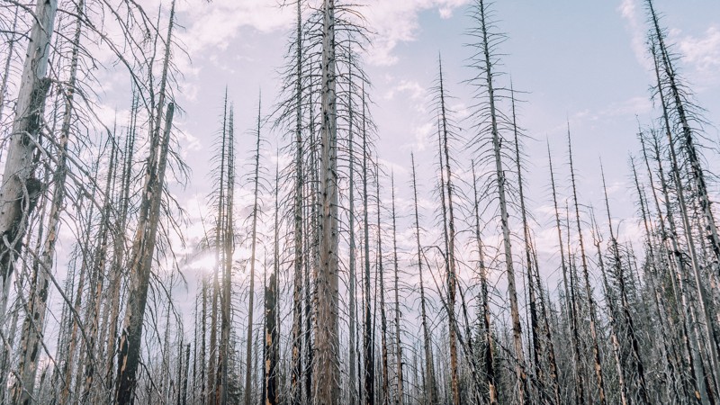
Table Mountain Road begins 17 miles north of Ellensburg, Washington, and brings you into the Okanogan-Wenatchee National Forest. Though you’re back in the trees, the view isn’t what you might expect, as you pass through a forest that is dead and burnt. In September of 2012, a lightning storm started several small fires in the area, ultimately merging into one and encompassing over 42,000 acres, causing the nearby town of Liberty to evacuate. This trail also gives you access to Lion Rock; a short trail with a scenic view and a great campsite. Though not always green and lush, this is an easy trail through the forest with some nice views.
This trail is part of the Washington Cascade Overland Route. Visit Overlanding Across Washington for more information, including which trails to take next.
Updated: 06/09/2026
Lover's Lane
Gold Bar, Washington
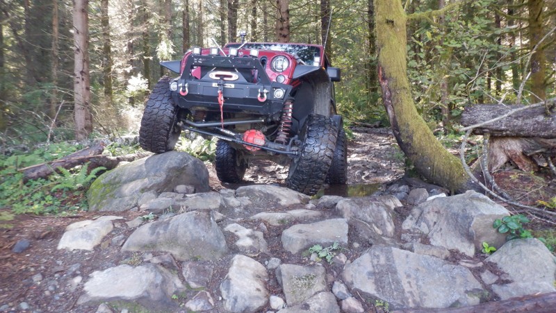
Reiter Foothills Forest is a 4x4 Recreation area with trails designated for 4x4's, ATV's and motorcycles. There are 8.6 miles of trails for 4x4 use with about twice that amount in the planning stages. Reiter is noted for its quality rock crawling trails rated up to the 9-10 range. Lover's Lane is a trail that is a lot of fun with a small qualifier to get over to get started. This trail has some very interesting boulders that have to be negotiated, but there are bypasses for those that are not feeling it. The trail wanders through a mature forest with many twists and turns that might be difficult for some longer wheel-based vehicles. This is the most interesting trail for most not looking for rock-crawling.
Updated: 07/17/2024
Crystal Ridge
Liberty, Washington
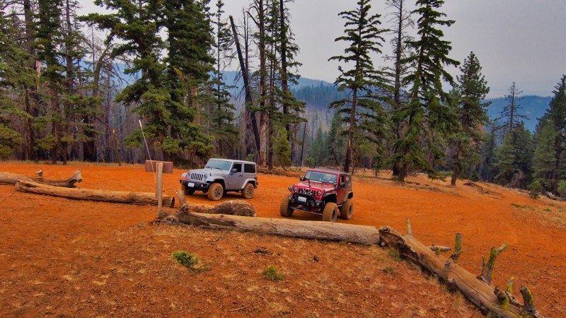
This trail has pretty much everything to offer anyone looking to see what Liberty OHV is all about. This is an excellent trail to start on as it has a variety of different challenges and beautiful viewpoints. One of the longest technical hill climbs awaits you, and the reward is a view to the east on one of the highest lookouts in the area. Crystal Ridge Trail is one of many trails located in the Liberty OHV area. This trail is just outside the town of Liberty, Washington. The town is reminiscent of an old mining town and has a flavor of the old west.
Updated: 09/20/2026
Liberty-Beehive
Liberty, Washington
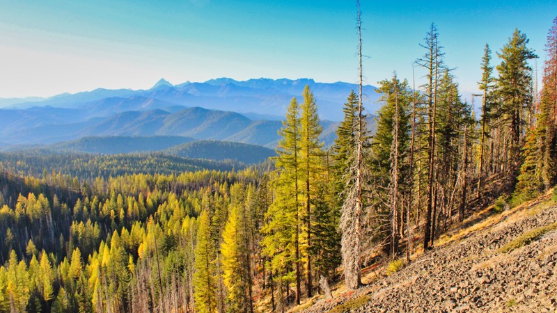
Liberty-Beehive Road is a 30-mile forest service road that starts in Liberty, WA, and travels north and west along the upper reaches of the Liberty ORV. The first 10 miles are in excellent condition. After passing the intersection of FS 9716, the road gets progressively more narrow and difficult until, at mile 22.4, there is a landslide. The local jeep clubs repaired the trail up the slide. Beyond the slide, the trail becomes more difficult.
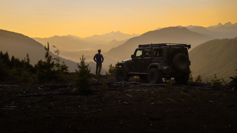
The beautiful views looking north into the Wenatchee Wilderness area are stunning. The sunsets and sunrises are something to behold. There are many places to pull over and camp, with many elk camps along the road. After the 30-mile drive, the route exits onto Squilchuck Road, where you can visit Squilchuck State Park and the Mission Ridge Winter Sports Area. The only exit back to civilization is to travel north on Squilchuck Road 25 miles to Wenatchee.
Updated: 06/03/2024
Goat Peak East
Easton, Washington
Goat Peak East is the smaller and lesser-known neighbor of Goat Peak and offers expansive views into the William O. Douglas Wilderness, Okanogan-Wenatchee National Forest, and beyond. Although the road doesn't take visitors to the very summit, those who want a bit more adventure and don't mind a bit of scrambling can take a relatively short hike to the top.
There’s no question about how the mountain got its name. The steep mountainsides require strong hooves and the energy of a mountain goat to traverse at any speed. If you look down on the sandy roadside you will see a plethora of hoof tracks of all kinds. You are very likely to spot members of the local elk population on this route.
The trail starts near Easton Sno Park and gradually gains elevation as it meanders through the forest, eventually breaking out to scenic nearly 360-degree views. A plethora of primitive campsites make this trail a good choice for those seeking to spend a night out in solitude.

Upgrade your Membership
Unlock all of the details on every Trail Guide and Scout Route.
Start a 7-day Free TrialCommunity
Partners

