


By clicking "ACCEPT", you agree to be the terms and conditions of each policy linked to above. You also agree to the storing of cookies on your device to facilitate the operation and functionality of our site, enhance and customize your user experience, and to analyze how our site is used.
Washington Off-Road Trails
187
Total Trail Guides 183

1735
Detailed Waypoints 156
Try a Free 7-Day Trial and unlock it all
Start a Free Trial Most Recent Trail Reviews
Rated 5/5
Open
Visited: 09/20/2026
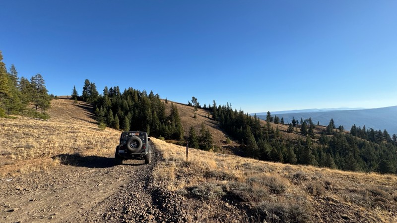
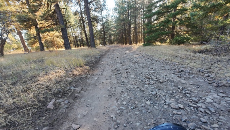
Traveled down from NS1712. The NS1711 is steep and loose gravel into the lower section along the hill side where the road surface becomes more level with gravel surface. Fantastic views from the top ...


John Kapelski
Official Crew
No Rating
Open
Visited: 09/19/2026
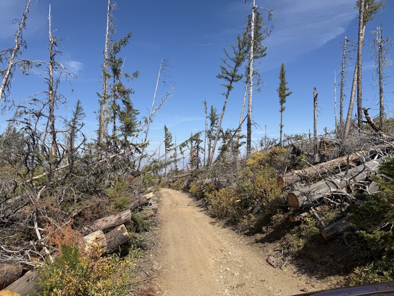
I drove this trail from the Wenatchee side all the way to Table Mountain Road in a Wrangler Rubicon. The Mission Ridge area had a couple of deep washouts on a narrow section of the road that were slo...
TS
Tom Stephens
Rated 4/5
Open
Visited: 09/13/2026
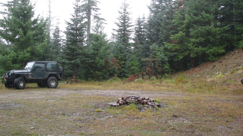
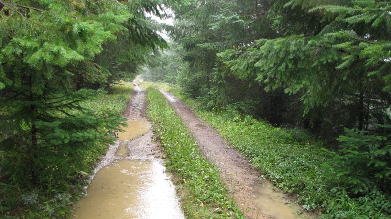
Easy hill climb to three very nice camp sites. Enclosed tree branches will provide compilatory light pinstriping and a mirror adjustment. First camp provides the most room for a group. Small trailer f...
John Kapelski
Official Crew
Rated 4/5
Open
Visited: 09/13/2026
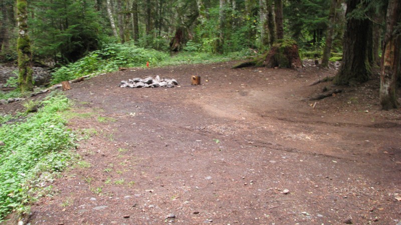
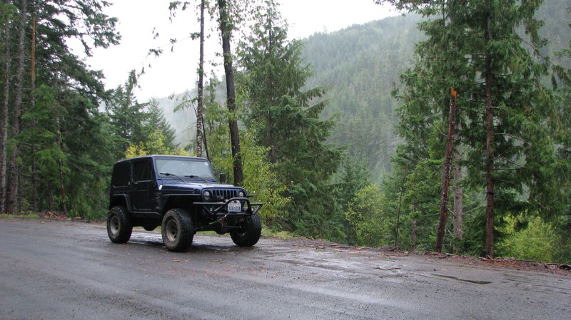
Short and sweet, Midnight Creek is an enjoyable drive through the forest at lower elevations. A dense canopy provides plenty of cool shade while the lush vegetation and abundant mountain runoff showca...
John Kapelski
Official Crew
Rated 5/5
Open
Visited: 09/13/2026
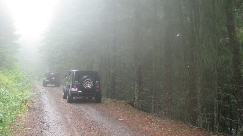
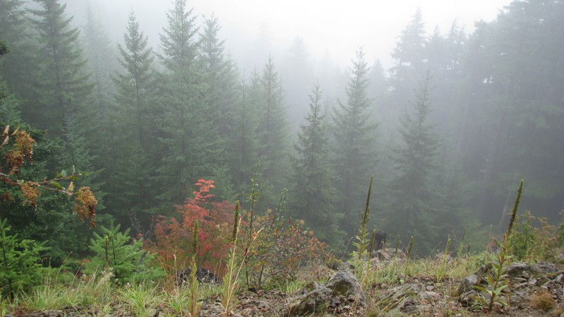
What a gem of a road! Even beneath the clouds, the route offers beautiful scenery, with early fall colors beginning to emerge and mist drifting through the surrounding mountains and forest of moss cov...
John Kapelski
Official Crew
Rated 1/5
Open
Visited: 09/13/2026
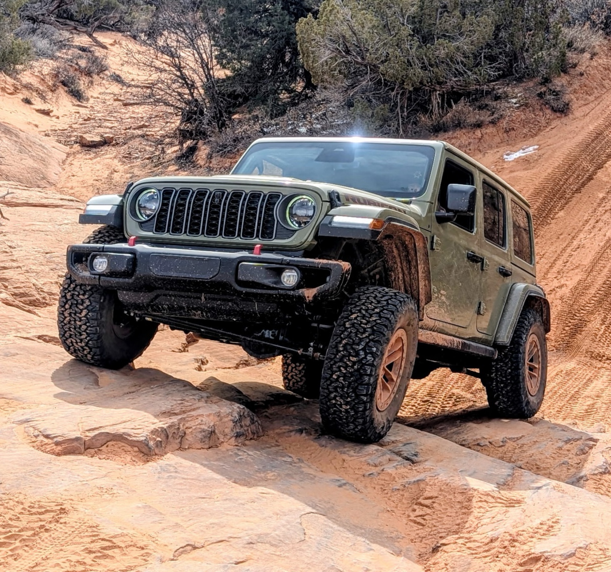
Total snooze fest. The most interesting part of the trail was when I ensured the gun was loaded driving past some local tweakers. Nothing to see here, much like the rest of the BOH trails in the PNW.
Francis whitney
Rated 3/5
Open
Visited: 09/09/2026
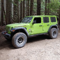
Beach access is easy and just about any vehicle can drive on the hard packed sand. A very important part that is not mentioned on the trail description is that driving on beach dunes is prohibited. Al...
Bill
Rated 5/5
Open
Visited: 09/07/2026
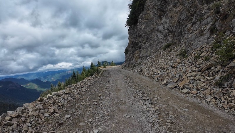
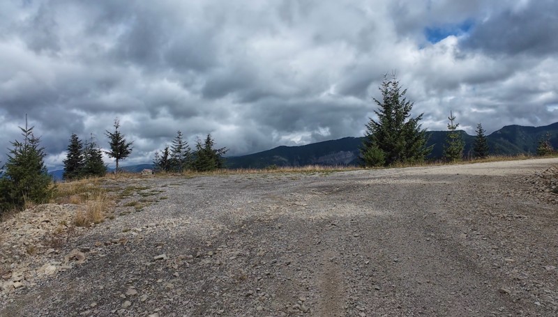
Very cool trail with multiple large campsites along the creek’s at the lower sections. Generally easy road surface with washboard areas.
John Kapelski
Official Crew
Rated 5/5
Open
Visited: 09/07/2026
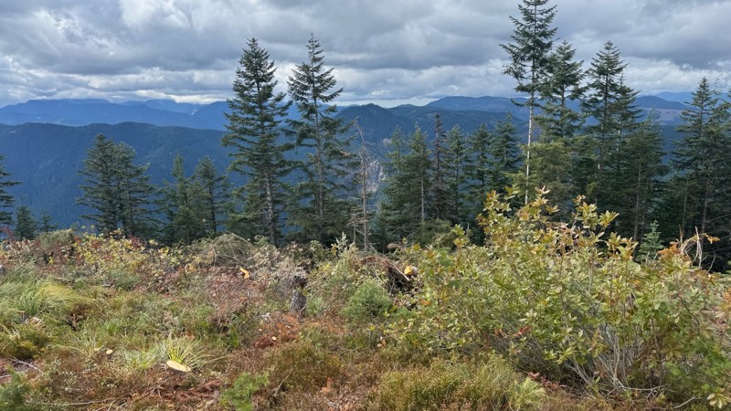
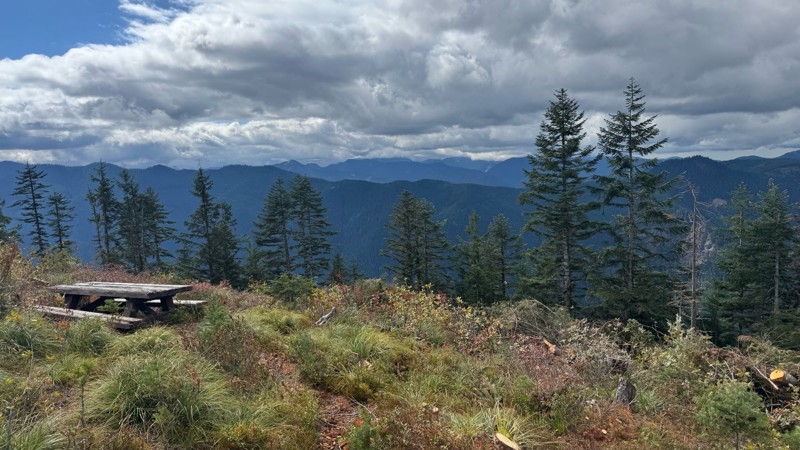
Road is easy and steep. Nice views thought the trees on the way up. Fabulous 360 degree views from the top. Cloudy days was not disappointing!
John Kapelski
Official Crew
No Rating
Open
Visited: 09/05/2026
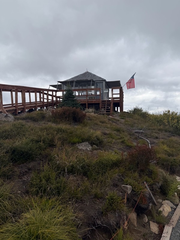
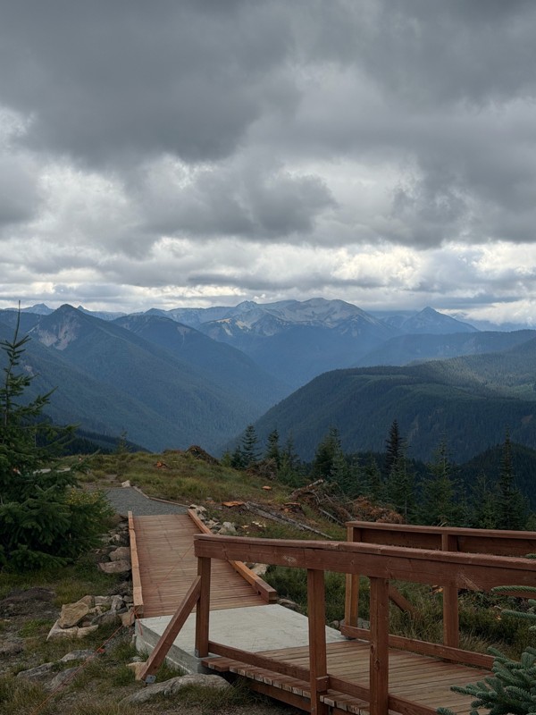
Difficult rating was spot on. Did the whole trail in 2 wheel drive. Grate views at the top
Austin Kapelski
Rated 4/5
Open
Visited: 09/05/2026
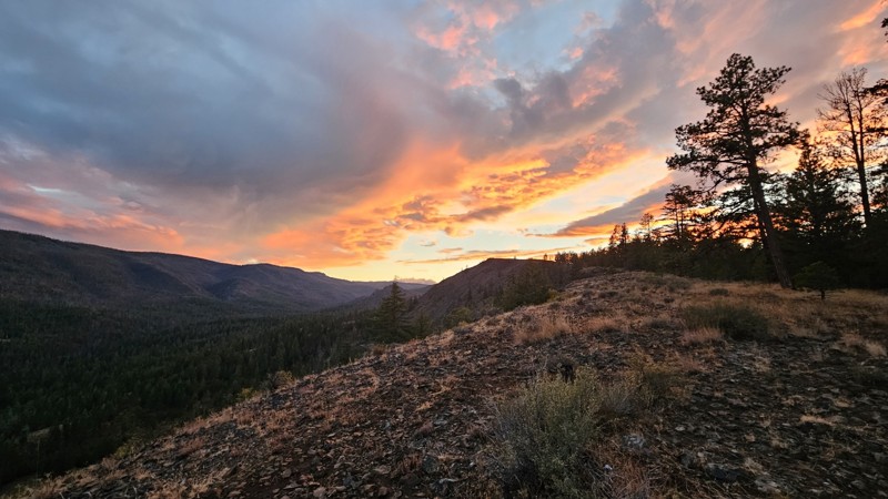
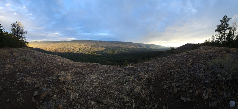
Nice quick camping trip, the campsite at the end of the road is still gorgeous, and sunsets are still pretty. the walk up to the actual devil's table is about a mile one way and 400' up, but nice view...

Ryan Wallace
Official Crew
No Rating
Seasonal Closure
Visited: 09/01/2026
According to this trails management agency, the trail is likely closed for the season.
You can reach out to the agency for more details.
Be sure to leave us a report and let us know ...

Trails Offroad
Official Crew
Rated 5/5
Open
Visited: 08/29/2026
Fun track with two people who have done this before and two, who haven't, a couple of nice waterfalls, and a good mix for everyone.
TW
Timothy Watson
No Rating
Partially Open
Visited: 08/29/2026
Tried access from North Wenas Highway at waypoint 8. Gate was posted with No Public Access. I would imagine waypoint 7 is the same as it appears to be private land???? Was not able to find access to w...
John Kapelski
Official Crew
Rated 5/5
Open
Visited: 08/28/2026
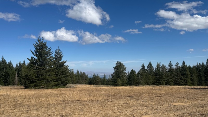
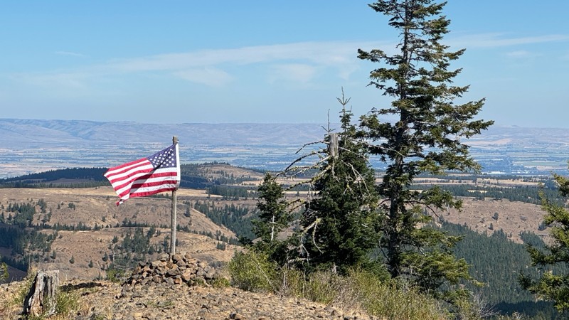
Continued from Rocky Flat,FS1701, down to Manastash Road. About 80% of the trail is down hill and never disappoints on the fun scale. More challenging that the 1701 and great views of the South Fork M...
John Kapelski
Official Crew
No Rating
Open
Visited: 08/28/2026
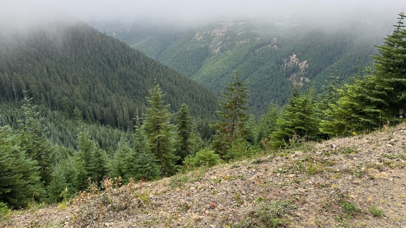
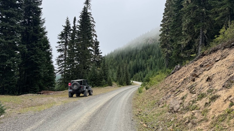
A great alternative to the Pyramid Pass route. Great camping looking over to Naches Trail
John Kapelski
Official Crew
Rated 5/5
Open
Visited: 08/28/2026
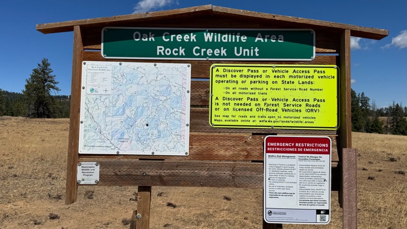
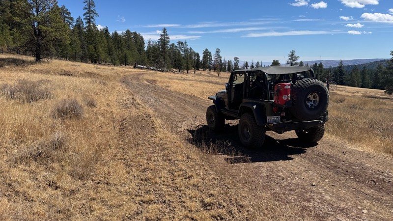
Nice dive up to waypoint 6 at five corners. Not as smooth as the initial incline but very scenic with great views to the west and east.
John Kapelski
Official Crew
No Rating
Open
Visited: 08/28/2026
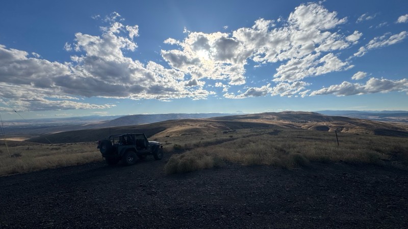
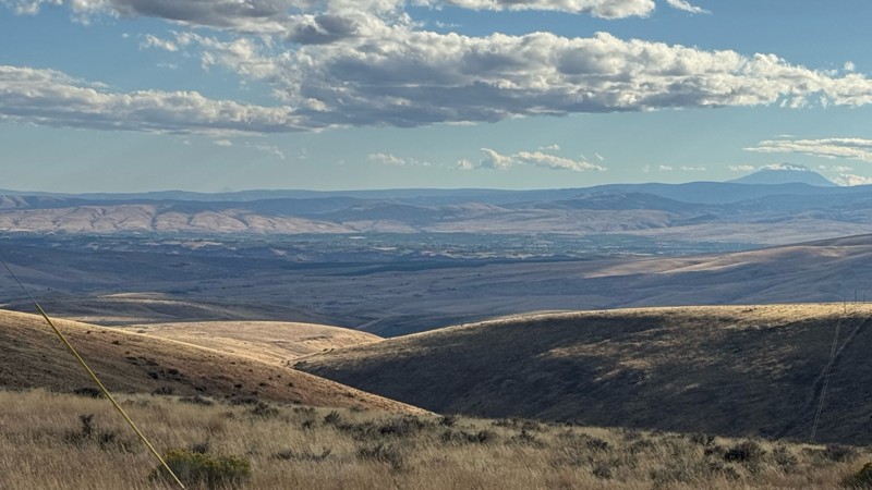
Connection area to Durr Rd and Old Durr Rd along with other trails is a bit confusing as there are “short cuts” to the same road. Umtanum Ridge is ruff. The high point is next to the towers with fant...
John Kapelski
Official Crew
No Rating
Open
Visited: 08/28/2026
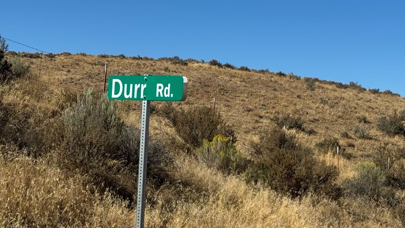
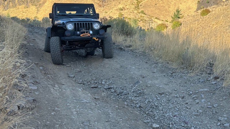
I drive this in the reverse direction of publish. Started out wide and smooth gravel surface than turned into a ruff narrow shelf road with limited places to pass. Best camping was at waypoint 3 by th...
John Kapelski
Official Crew
Rated 4/5
Open
Visited: 08/28/2026
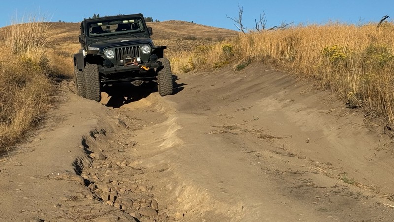
Waypoint 4-5 has changed due to water run off by exposing more rock face and creating deep ruts.
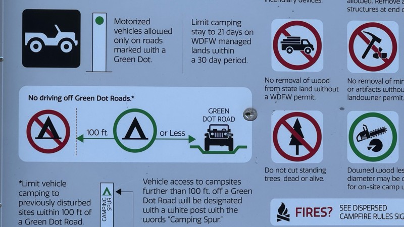
Large flat campsite next to waypoint 4, go straight before making the turn. It is the only site that ...
John Kapelski
Official Crew
Rated 4/5
Open
Visited: 08/28/2026
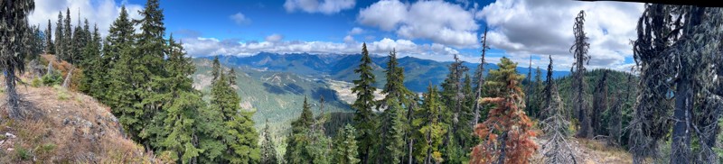
Incredible view on top! Unfortunately saw a group packing up camp on our way up and on our return down they had left lots of trash and a fire still burning during extreme fire danger and burn ban! We ...
J
Jason
Rated 4/5
Open
Visited: 08/20/2026
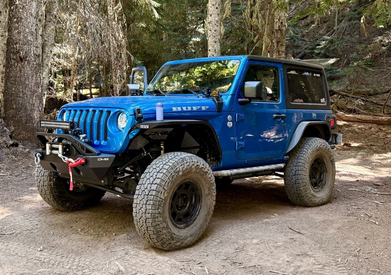
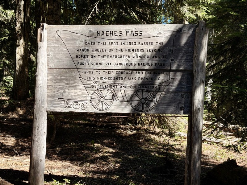
The trail is in great shape minus the section where the bridge is down. Ran into 1 other vehicle a SxS going east we were headed west. At the PCT cabin we talked to 4 through hikers refueling themselv...
CD
Carl Duester
No Rating
Open
Visited: 08/20/2026
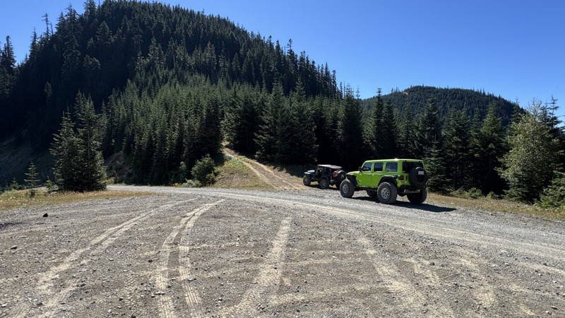
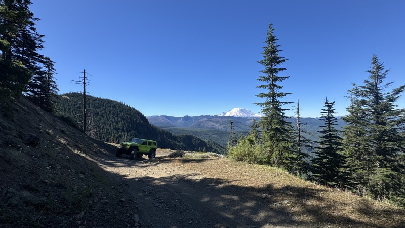
This road system offers continuous views of Mount Rainier to the south while climbing toward the rugged peaks of the northern Cascade Range. This short, enjoyable trail is well worth the few extra mi...
John Kapelski
Official Crew
Rated 3/5
Open
Visited: 08/17/2026
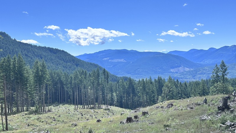
5 Road is exactly that a dirt road. Any 2WD vehicle can easily negotiate this trail. This trail is trailer friendly, but some of the tight turns are not suitable for longer trailers/campers. There are...

Eric Gartin
Official Crew
Rated 5/5
Open
Visited: 08/16/2026
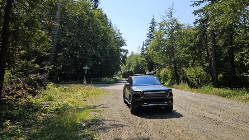
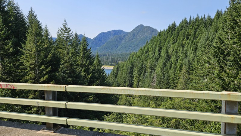
Our trip around the Wynoochee Loop was a mix of incredible scenery and some pretty technical driving. Traveling counterclockwise, we really felt the challenge starting on the final climb to the peak. ...
Ryan Wallace
Official Crew
Rated 5/5
Open
Visited: 08/15/2026
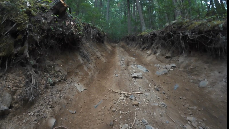
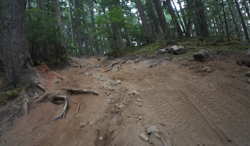
Wonderful day!!!!! Meet a two fellas doing their first trail ever. Shame on me for getting more photos. They had a BLAST!!!!! Hope to see them again.
John Kapelski
Official Crew
No Rating
Open
Visited: 08/11/2026
Per the MVUM, the trail is seasonally open. As always, check current fire restrictions/closures before venturing out.
Trails Offroad
Official Crew
No Rating
Open
Visited: 08/11/2026
Per the MVUM, the trail is seasonally open. As always, check current fire restrictions/closures before venturing out.
Trails Offroad
Official Crew
No Rating
Open
Visited: 08/11/2026
Per the MVUM, the trail is seasonally open. As always, check current fire restrictions/closures before venturing out.
Trails Offroad
Official Crew
No Rating
Open
Visited: 08/11/2026
Per the MVUM, the trail is seasonally open. As always, check current fire restrictions/closures before venturing out.
Trails Offroad
Official Crew
No Rating
Open
Visited: 08/11/2026
Per the MVUM, the trail is seasonally open. As always, check current fire restrictions/closures before venturing out.
Trails Offroad
Official Crew
No Rating
Open
Visited: 08/11/2026
Per the MVUM, the trail is seasonally open. As always, check current fire restrictions/closures before venturing out.
Trails Offroad
Official Crew
No Rating
Open
Visited: 08/11/2026
Per the MVUM, the trail is seasonally open. As always, check current fire restrictions/closures before venturing out.
Trails Offroad
Official Crew
No Rating
Open
Visited: 08/11/2026
Per the MVUM, the trail is seasonally open. As always, check current fire restrictions/closures before venturing out.
Trails Offroad
Official Crew
No Rating
Open
Visited: 08/11/2026
Per the MVUM, the trail is seasonally open. As always, check current fire restrictions/closures before venturing out.

Todd
Official Crew
No Rating
Open
Visited: 08/11/2026
Per the MVUM, the trail is seasonally open. As always, check current fire restrictions/closures before venturing out.
Todd
Official Crew
No Rating
Open
Visited: 08/11/2026
Per the MVUM, the trail is seasonally open. As always, check current fire restrictions/closures before venturing out.
Todd
Official Crew
No Rating
Open
Visited: 08/11/2026
Per the MVUM, the trail is seasonally open. As always, check current fire restrictions/closures before venturing out.
Todd
Official Crew
No Rating
Open
Visited: 08/11/2026
Per the MVUM, the trail is seasonally open. As always, check current fire restrictions/closures before venturing out.
Todd
Official Crew
No Rating
Open
Visited: 08/11/2026
Per the MVUM, the trail is seasonally open. As always, check current fire restrictions/closures before venturing out.
Todd
Official Crew
No Rating
Open
Visited: 08/11/2026
Per the MVUM, the trail is seasonally open. As always, check current fire restrictions/closures before venturing out.
Todd
Official Crew
No Rating
Open
Visited: 08/11/2026
Per the MVUM, the trail is seasonally open. As always, check current fire restrictions/closures before venturing out.
Todd
Official Crew
No Rating
Open
Visited: 08/11/2026
Per the MVUM, the trail is seasonally open. As always, check current fire restrictions/closures before venturing out.
Todd
Official Crew
Todd
Official Crew
Todd
Official Crew
No Rating
Temporary Closure
Visited: 08/11/2026
Closed due to the Sinlahekin fire.
Todd
Official Crew
No Rating
Open
Visited: 08/11/2026
Per the MVUM, the trail is seasonally open. As always, check current fire restrictions/closures before venturing out.
Trails Offroad
Official Crew
No Rating
Open
Visited: 08/11/2026
Per the MVUM, the trail is seasonally open. As always, check current fire restrictions/closures before venturing out.
Trails Offroad
Official Crew
Most Popular

Updated: 06/29/2024
Evans Creek / Trail #311
Wilkeson, Washington
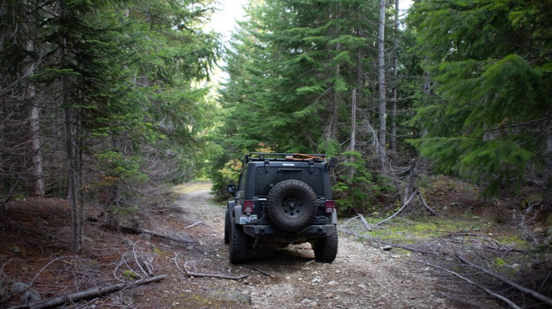
Trail # 311 is located in the Mt. Baker Snoqualmie National Forest within the Evans Creek ORV park and is one of a dozen or so trails available in this park designated for 4x4 use, for a total of over 45 miles of trail riding. Trails are well marked and rated from Easy to Most Difficult. This trail has one of the most beautiful views of Mt. Rainier if you are lucky enough to be here on a sunny day. The trail winds up through a mature dark forest, following along and above the access road that leads to the campground. While the rating isn't significantly high, you will still have to contend with tight, twisting turns around trees and stumps. There are some hill climbs that, while not difficult, might make you pucker just a little.
Updated: 06/03/2024
Roaring Ridge
Hyak, Washington
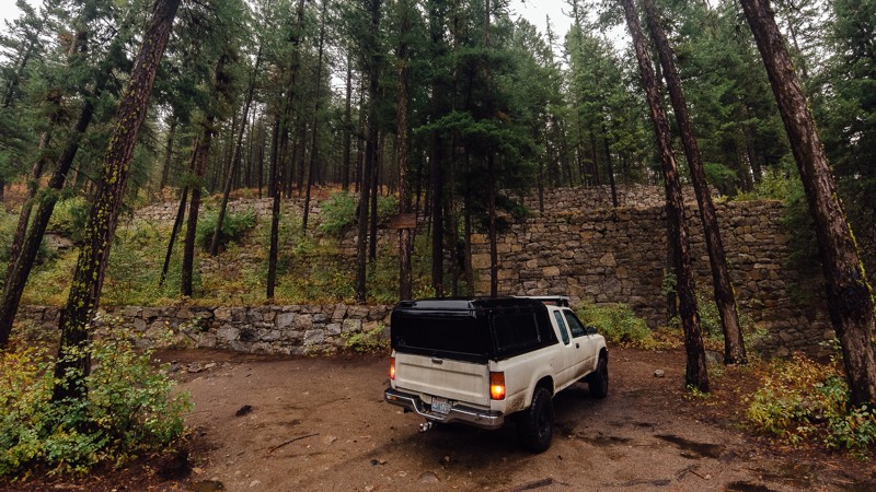
Located amongst a network of trails and forest roads situated south of Lake Kachees, Roaring Ridge is a short trail that goes along a ridge that gives it its name. This trail is really an outdated forest road that has turned into a medium difficulty jeep trail taking you through the lush and wild forest with several campsites along the way. The short but slightly challenging nature of this trail makes it a great choice for beginners who are looking to try something more difficult than a maintained forest road.
Updated: 06/12/2024
Loup Loup Canyon Road
Okanogan, Washington
Loup Loup Canyon Road is a fun trail packed with Washington history. Located 7 miles east of Okanogan and 38 miles north-east of Chelan, the trail skirts along the eastern border of the Okanogan-Wenatchee National Forest as it travels north. There are several crossings of Loup Loup Creek and its smaller tributaries, as well as some large puddles on rainy days, making for an easy but fun trip. There’s also plenty of mining history as well, including the China Wall of Loup Loup. Built in 1888 by a Portland lawyer, large granite walls were constructed to support the boilers and furnace, in hopes of mining silver. No silver was found, and the company eventually went bankrupt. The remains of one of the walls are now known as China Wall, though the origin of the name is somewhat of a mystery; possibly from the many Chinese workers used in its construction, though no Chinese names were actually on the payroll. Whether you’re looking for a fun weekend trip, an overlanding journey, or some Washington history, this trail definitely worth a visit.
This trail is part of the Washington Cascade Overland Route. Visit Overlanding Across Washington for more information, including which trails to take next.

Updated: 06/19/2025
NF-4330
Driftwood Acres, Washington
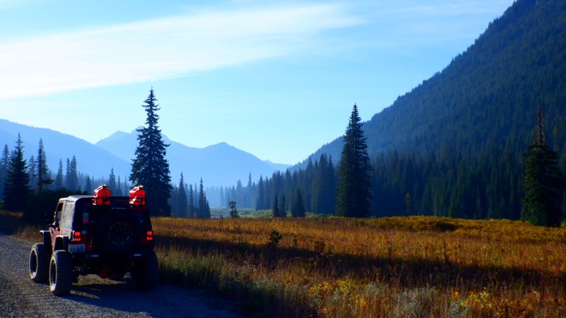
NF-4330 is a 12.3-mile dirt road that provides access to some very remote yet beautiful wilderness areas. The road starts at the north end of Cle Elum Lake and basically follows the Cle Elum River valley ending at the Tucquala Meadow Trailhead. There are many different campgrounds to choose from, including Cayuse Campground at the beginning of the road and Tucquala Campground at the end. There are also dozens of dispersed camping spots along the road and down any of the numerous spur roads.
This road also provides access to five different 4x4 Jeep trails: Mine to Market, Fortune Creek Trail, Van Epps Pass, Van Epps Loop and Hawkins Mountain. This road, surrounding trails, and campgrounds could make for an excellent "Wheeling Weekend."
Updated: 09/09/2026
Huckleberry Creek
Snoquera, Washington
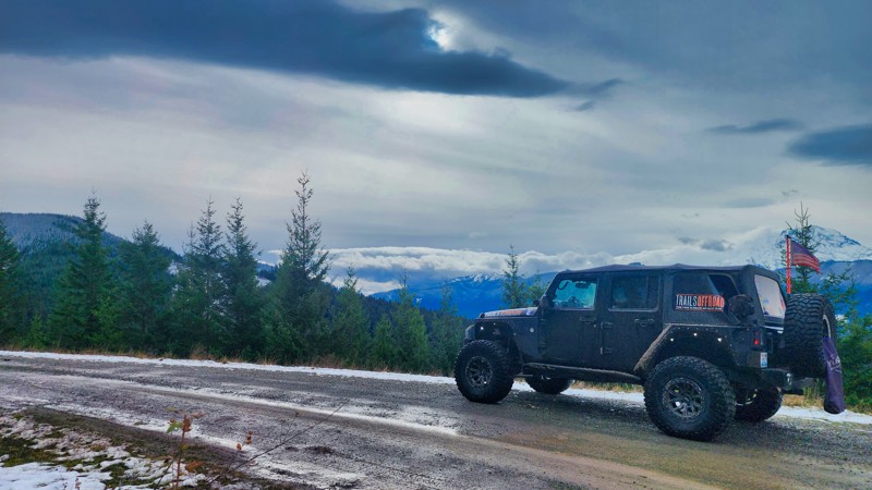
Starting on WA Highway 410, scenic Huckleberry Creek is a scenic road that gradually climbs to 4900 feet over 15.2 miles. Huckleberry Creek Campground has numerous dispersed campsites that can support trailers and small RVs. This first-come-first-camping area is very busy during the summer months. The road narrows as it climbs along a ridgeline with sweeping vistas overlooking the valley below. Huckleberry Creek intersects with Twenty-Eight Mile Creek. If you want further exploration, you can follow Twenty-Eight Mile Creek south, ultimately leading to the alluring Lonesome Lake. If not, turn north on Twenty-Eight Mile Creek, which takes you back to WA Highway 410.
Updated: 06/03/2024
NF-4936
Cle Elum, Washington
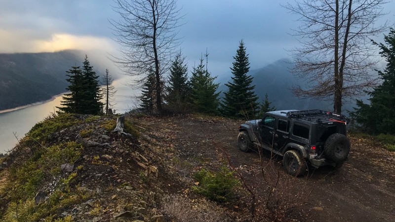
The areas surrounding Interstate 90 are scattered with forest roads, old and new alike, with many leading to epic views of the surrounding mountains. This trail is fairly short and follows a forest road roughly 2000 feet up the mountainside to a nice lookout spot. The route starts out as a well-maintained gravel road that slowly gets worse in condition as you go along but should be easily doable in a regular SUV. For camping enthusiasts, many primitive campsites are dispersed along the route with a particularly scenic one at the end of the trail overlooking Lake Kacheelus and I-90 in the distance
Updated: 03/12/2026
WV-22
Mount Vernon, Washington
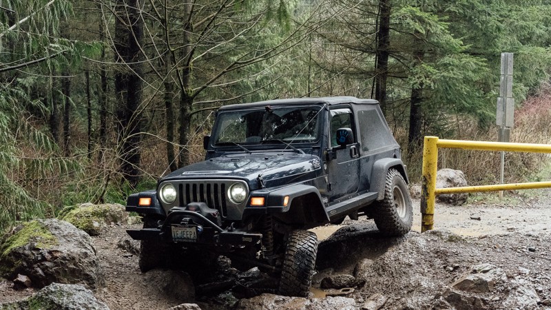
WV-22 is a service road on the west side of the Walker Valley ORV Park. The trail is a dirt road that can be muddy and has many potholes. It can be a busy place, and while there is ample room, be mindful of other drivers around you. The trail as a whole is fairly easy, and could be accomplished by almost any vehicle, were it not for the gatekeeper. The gate is kept closed to keep out non-modified 4X4 vehicles, making the only way in to go through the gatekeeper to the side. The rocks are large, and it can be muddy, but it’s not too difficult. Once it has been passed, the rest of the trail is a basic dirt road. There is a small pullout area just before the trail entrance that can also be used to air up/down your tires. This trail gives you access to Timber Tamer at Waypoints 2, 3, and 4, and EZ-Valley Connecter at Waypoint 5. Walker Valley ORV is comprised of 3,200 acres, with twelve 4X4 trails, and many more ATV and dirt bike trails. The trails offer many challenges like rocks, roots, and ruts. These obstacles will change from season to season, with the addition of snow and rain, which can also produce large puddles and muddy stretches. From the mild to wild, Walker Valley ORV provides something for everyone.
Updated: 07/15/2024
Tripod Flats
Cliffdell, Washington
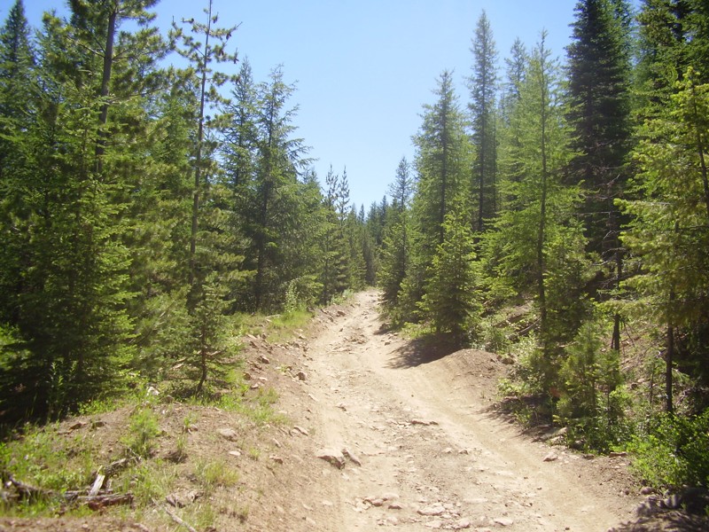
Not difficult but definitely not easy, Tripod Flats is a medium difficulty trail in the middle of the widely used OHV area, Little Naches, and it makes for a good shortcut from the north side into the uber popular Funny Rocks and Moon Rocks area. This trail is also the only way into Lost Lake, an absolute must-do trail. Aside from the dusty conditions most of the summer, there are several areas that will be challenging in wet weather. Tripod Flats Trail is very scenic and has several open areas in which to camp, a perfect overland style of trail.
Updated: 04/01/2024
Babyshoe Pass
Trout Lake, Washington
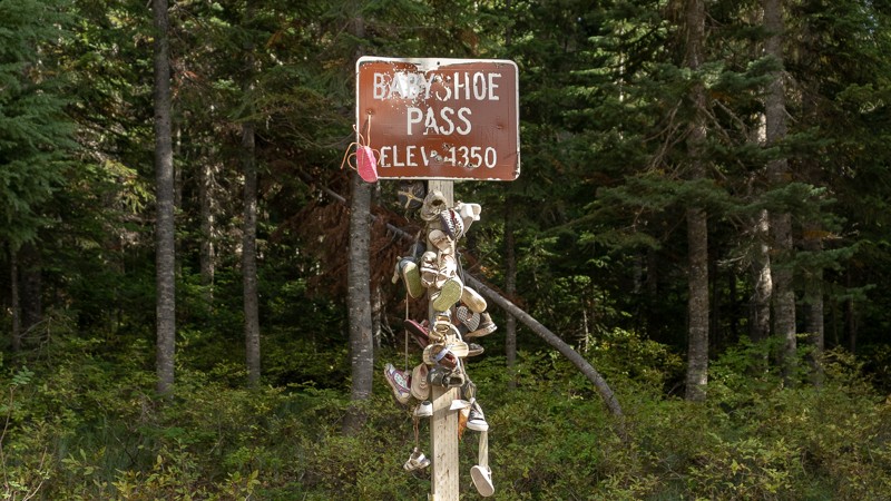
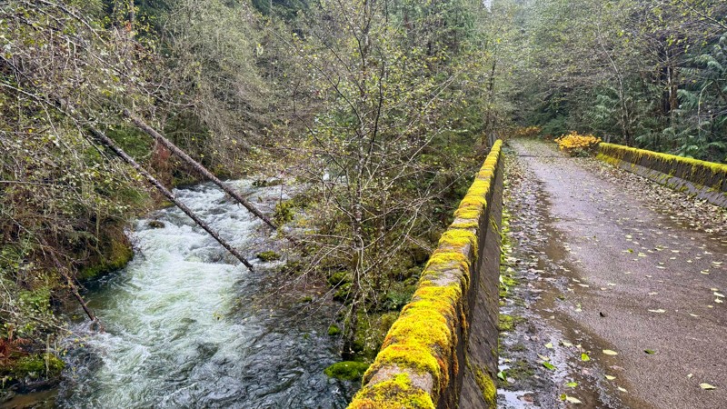
NF-23 takes you further north into the Gifford Pinchot National Forest, along the northwestern side of the Mount Adams Wilderness Area, and east of Baby Shoe Ridge. The pass was built to connect Forest Route 23 together, providing the eastern side of the Gifford Pinchot National Forest a main north-south access road. In the middle of the trail is a short, paved bridge over Lewis River. The trail will mostly be an ascent, with an elevation gain of 734 feet. At Waypoint 4, you’ll see a sign for Baby Shoe Pass, informing you that you’ve reached 4,350 feet in elevation. The sign is, naturally, eerily adorned with baby shoes. Shortly afterward, you’ll reach the end of Baby Shoe. Baby Shoe Pass is located in the Midway High Lakes region of Mount Adams, which has five high elevation lakes nearby. Takhlakh lake, which is near the end of the trail, is the most popular of the Midway High Lakes.
This trail is part of the Washington Cascade Overland Route. Visit Overlanding Across Washington for more information, including which trails to take next.
Updated: 07/09/2025
Nisqually Loop
Carlson, Washington
In the Gifford Pinchot National Forest, FS-7400, also known as Nisqually Loop, is a captivating forest service road spanning an impressive 31 miles with plenty of breathtaking views. The road meanders through lush greenery, with towering trees providing a majestic canopy overhead. The road unveils stunning vistas of rolling hills, picturesque valleys, and glimpses of distant mountain peaks at various points. On the back side, the road travels along the Little Nisqually River and provides incredible camping opportunities. The road does dead-end at a gate that is usually locked. Whether you're a nature enthusiast, an avid photographer, or simply seeking a peaceful escape, FS-7400 promises an unforgettable experience with its stunning beauty and serene atmosphere.

Updated: 05/15/2024
Deer Pen
Camas, Washington
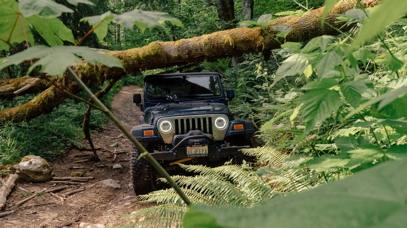
Deer Run Trail is a 0.39-mile trail that will connect with Old Ugly trail at its end and get you ready for the tougher action to come. The trail winds through some beautiful old-growth forest and is the perfect trail to start on if you are out in this area to explore. Beginning drivers and stock rigs will be comfortable and gain some valuable confidence on this trail and it does contain a memorial for a driver that met a deadly fate and makes you realize that even an easier trail can be dangerous with too much confidence.
Updated: 03/12/2026
Upper Mainline
Mount Vernon, Washington
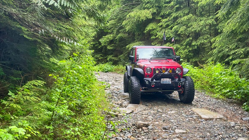
Upper Mainline is not just another trail in Walker Valley ORV; it’s an adventure. Of course, you can expect to get your fill of rocks, but there’s much more, including roots, mud, and challenging climbs. About halfway through, you’ll find a downed tree, which will leave you asking if you can continue through the trail. Upper Mainline has a little of everything, so whether you’re a novice wheeler or you’re looking for a challenge, this trail will make a great addition to your day in the park. Walker Valley ORV consists of 3,200 acres, with twelve 4X4 trails, and several more ATV and dirt bike trails. The trails offer many challenges like rocks, roots, and ruts. These obstacles will change from season to season, with the addition of snow and rain, which can also produce large puddles and muddy stretches. From the mild to wild, Walker Valley ORV provides something for everyone.
Updated: 04/22/2026
FS-5730
Baring, Washington
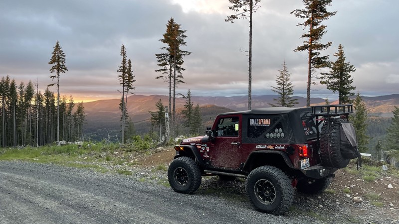
FS-5730, located in the Mt. Baker - Snoqualmie National Forest, exits the campgrounds at the end of North Fork Snoqualmie Road and travels 4.5 miles further into the forest. The trail crosses the North Fork Snoqualmie River and then travels up to an elevation of 2600 feet through old-growth timber. Several side roads go further up, probably resulting in camping opportunities. The road ends at a large campsite just a few yards off the river. This road gets no maintenance, so having a log-clearing ability might save your trip from disappointment.
Updated: 10/15/2024
8-Road
Alder, Washington
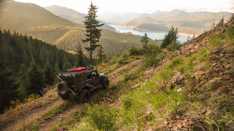
Road-8 is a graded dirt road in the Elbe Hills forest and is an easy shortcut to the Elbe OHV area from Eatonville, WA. The road has excellent views of Mount Rainier. Driving south out of Eatonville on Alder-Cutoff Road E, find the Scott Turner Road on the left. In about 8 miles, Scott Turner becomes 8-Road. You can also access this road from the south on U.S. Highway 706. Find 278th Ave E and go about 2 miles, where the road becomes 8-Road.
Updated: 07/01/2024
FR 5484
Easton, Washington
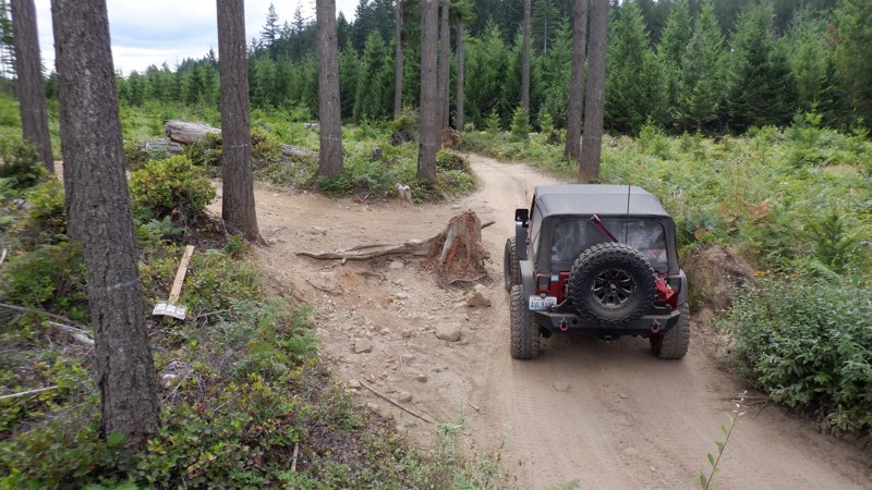
FR-5848 is part of a network of old forest roads located southwest of Lake Kacheelus, in the Okanogan-Wenatchee National Forest, and several miles past Snoqualmie Pass. This trail takes you on an unmaintained forest road up and along a ridgeline, with scenic views along the way with various branching side trails. Due to a lack of maintenance, this trail can get rather brushy in the summer with portions and require a bit of "bushwacking". However, the bushes are rather light and leafy so your paint should be safe, They simply add some spice to the drive. Towards the end of the route, the trees open up offering views of Lake Kacheelus and the I-90 valley. It's a perfect place to catch the sunset.
A popular snowmobile route in the winter/spring, this trail is only accessible in the summer and early fall.
Updated: 10/11/2024
Tahuya / Riff-Raff
Belfair, Washington
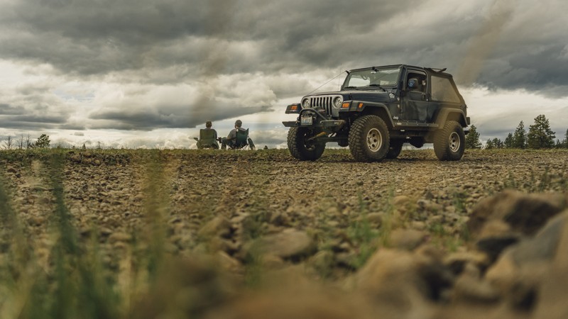
Riff-Raff is in the Tahuya State Forest ORV park outside Belfair, WA. The Tahuya State Forest ORV area is a popular 4x4 destination. This park was designed for beginning wheelers up to seasoned trail veterans. Riff-Raff has tight turns around trees threatening to kiss your fenders. During the winter and early spring months, the challenges are large water obstacles. While water usually isn't considered an obstacle, throw in hidden underwater root systems, and you might have your hands full. The trail travels through a beautiful pine forest, one of the last untouched areas in the park not logged for timber. The natural beauty of this trail makes this one of the more beautiful areas of Tahuya.
Updated: 08/13/2023
Rocky Flat Road
Nile, Washington
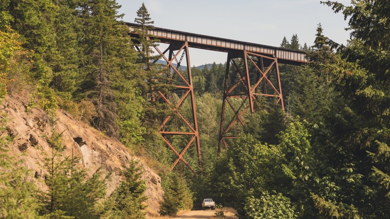
It’s definitely rocky, but it sure ain’t flat! 20 miles west of Ellensburg is Rocky Flat Road, a trail with oodles of possibilities. By itself, it’s a long, winding route climbing up Bald Mountain and features views of the Cascades to the west. But, there’s much more to be found along the drive. During the summer months, Rocky Flat is most often used as an easier, though not necessarily quicker route to a local wheeling spot, Moon Rocks and Funny Rocks. Additionally, those traveling across the Cascade Overland Route will find numerous campsites with plenty of room. Rocky Flat will be covered in snow during the winter months and will provide excellent snow wheeling. Rocky Flat Road will be part of a memorable trip, whether you’re wheeling, camping, or playing in the snow.
This trail is part of the Washington Cascade Overland Route. Visit Overlanding Across Washington for more information, including which trails to take next.
Updated: 08/27/2024
Tacoma Pass
Snoqualmie, Washington
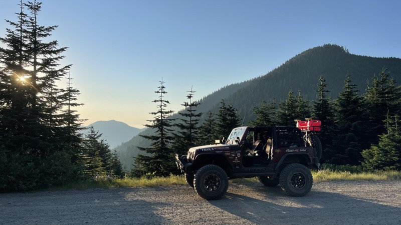
Experience the Tacoma Pass along the Stampede Pass Overland Route: This is one of several trails in this area of the Mt. Baker-Snoqualmie National Forest and was originally created to build and maintain railways. Drive under the old railways that traveled in both directions across the Cascade Mountains in Washington State. Excellent hiking access to the Pacific Crest Trail can also be found along Tacoma Pass.
Updated: 07/21/2026
Pyramid Pass
Cougar Valley, Washington
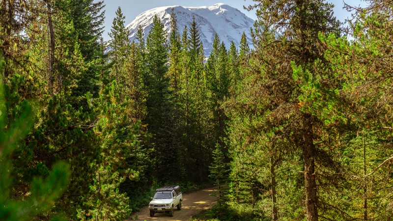
If you are looking for a quick way over the mountains to the Naches area, this pass is for you. The pass (FS-7080) starts off of FS-70 about mile mark 13. The road can be a bit rutted, but most vehicles will not have an issue. There is also access to the 3rd starting point for the Naches Trail. There are many camping opportunities along this road. Almost every side road leads to something amazing.
Updated: 04/01/2024
NF-2329
Trout Lake, Washington
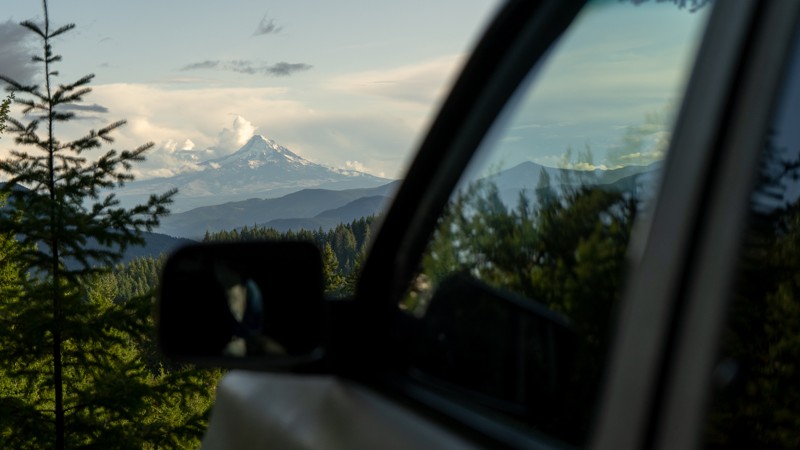
NF-2329 begins near the Takhlakh Lake Campground, and skirts along the northwest side of the Mount Adams Wilderness area. There are several hiking trailheads that lead into the wilderness area, including Divide Camp, Killen Creek, and the Muddy Meadows Trailhead at Waypoint 13. From the very beginning, Muddy Meadows has amazing views of Mount Adams, and continues on into the wilderness, crossing with the Pacific Crest Trail. These meadows were used by Native Americans during summers as berry camps and were still used in the 1800s.
Besides hiking, NF-2329 has many campsites available; though some are exclusively horse camps. At Waypoint 9, you can turn to Horseshoe Lake, which has a designated campground, and a beautiful view of Mount Adams to the south. This is a longer trail that offers lots to see, and many places to spend a night or two relaxing.
This trail is part of the Washington Cascade Overland Route. Visit Overlanding Across Washington for more information, including which trails to take next.
Updated: 09/02/2023
NF-86 (Southern End)
Cook, Washington
NF-86 is a gravel road in the Gifford Pinchot National Forest. It’s a winding road that is mostly up-hill and is filled with puddles after a rainfall. The distance covered before reaching NF-6610 is 8.52 miles, though NF-86 does continue on for an additional 8 miles, ultimately reaching State Route 141 near the Guler Ice Caves.
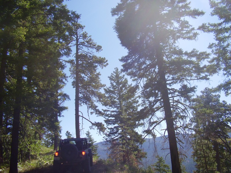
The road can be narrow at times, which may cause pinstriping. Another obstacle to be aware of is the slight washout at Waypoint 4; it’s not a large concern, but something to anticipate. Dispersed camping is available on the trail, with Waypoint 6 offering a beautiful view of Mount Hood. Waypoint 7 offers dispersed camping for a larger group.
This trail is part of the Washington Cascade Overland Route. Visit Overlanding Across Washington for more information, including which trails to take next.
Updated: 07/15/2024
Billy Goat
Cle Elum, Washington
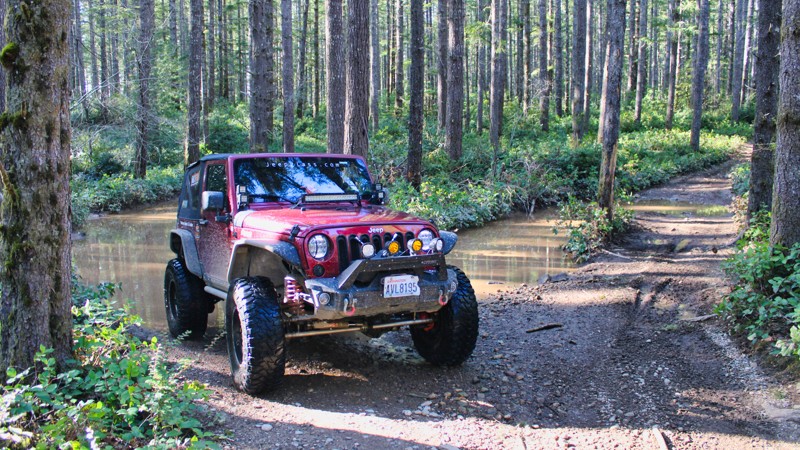
The view from the top of this off-road trail is simply magnificent and completion of the trail is a sigh of relief. If it is not dry, do not take this trail lightly; the mud in the Liberty area is extremely slick and has claimed many body panels on the multitude of trails here. The Billy Goat Trail is aptly named, when your vehicle completes this trail you might want to change your vehicles nickname. The climbs and descents on this trail are extreme, caution should be taken at all times on every part of this trail. But once you get through it, you will have conquered one of the best trails Washington has to offer.
Updated: 08/27/2023
Tahuya / 84-S
Belfair, Washington
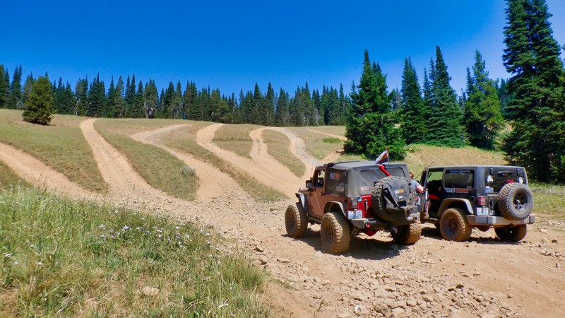
84-S is located in the Tahuya State Forest ORV park. The park has approximately 20 miles of trails with all difficulty levels, from easy routes for the beginner to huge rock climbing obstacles designed for highly modified buggies. The park is located about five miles from the town of Belfair, Washington. 84-S is one of the more technical trails with tight turns and root systems to navigate.
While this is a working timber forest with clear-cut sections that aren't very pretty, many other areas of this forest are truly magical. There is even a small stream that beavers are managing.
Tahuya State Forest ORV is an excellent destination for a full day of exciting wheeling for all experience levels.
Updated: 07/17/2024
Milk Lake
Cliffdell, Washington
Milk Lake Trail is named for the small lake just southwest of the trailhead. But this trail is no milk run. Located in the Okanogan - Wenatchee National Forest, Milk Lake Trail provides access to the Manastash Trail system including Funny Rocks and Moon Rocks which is a favorite area for rock crawling. This trail offers many different kinds of wheeling ranging from a tight twisting trail dodging roots and stumps to a drive up a creek bed with 12-20 inch boulders. The variation trail surfaces make it perfect for a beginner driver to gain confidence and experience in themselves while exploring their vehicle's capabilities.
While dealing with the changing technical conditions of the trail, don't forget to enjoy the scenery. Milk Lake Trail passes through a deep mature forest with beautiful stream crossings and ends with a long hill climb up to the top of the Manastash Ridge. Once there you will be rewarded with some fantastic views of Mt. Rainier and Mt. Adams to the south.
This trail has it all. Milk Lake Trail is a great warm-up and preparation for the more difficult trails that await you on the Manastash Ridge.

Upgrade your Membership
Unlock all of the details on every Trail Guide and Scout Route.
Start a 7-day Free TrialCommunity
Partners

