


By clicking "ACCEPT", you agree to be the terms and conditions of each policy linked to above. You also agree to the storing of cookies on your device to facilitate the operation and functionality of our site, enhance and customize your user experience, and to analyze how our site is used.
Washington Off-Road Trails
187
Total Trail Guides 183

1735
Detailed Waypoints 156
Try a Free 7-Day Trial and unlock it all
Start a Free Trial Most Recent Trail Reviews
Rated 5/5
Open
Visited: 09/20/2026
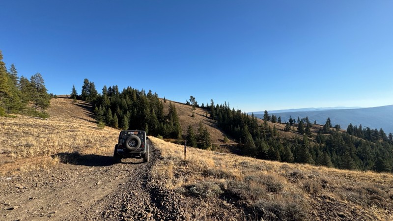
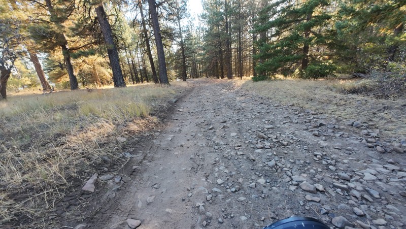
Traveled down from NS1712. The NS1711 is steep and loose gravel into the lower section along the hill side where the road surface becomes more level with gravel surface. Fantastic views from the top ...


John Kapelski
Official Crew
No Rating
Open
Visited: 09/19/2026
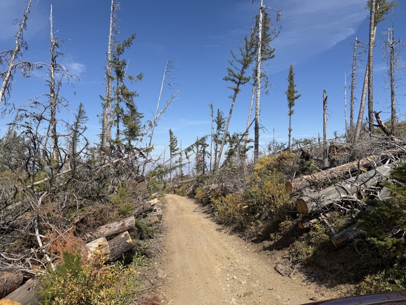
I drove this trail from the Wenatchee side all the way to Table Mountain Road in a Wrangler Rubicon. The Mission Ridge area had a couple of deep washouts on a narrow section of the road that were slo...
TS
Tom Stephens
Rated 4/5
Open
Visited: 09/13/2026
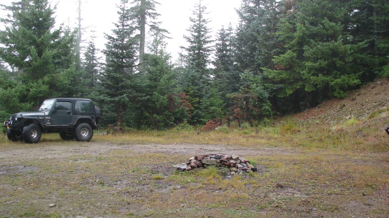
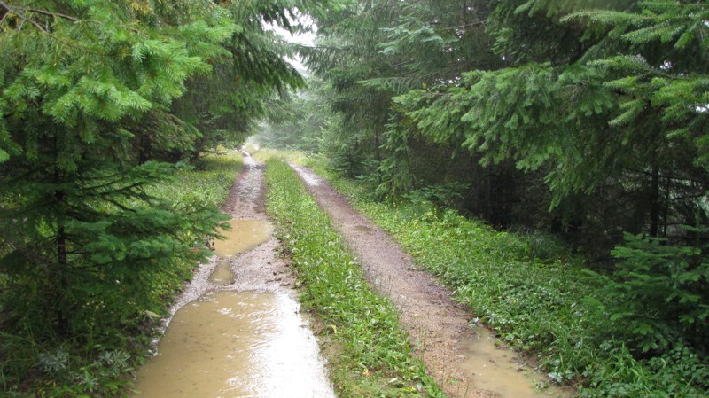
Easy hill climb to three very nice camp sites. Enclosed tree branches will provide compilatory light pinstriping and a mirror adjustment. First camp provides the most room for a group. Small trailer f...
John Kapelski
Official Crew
Rated 4/5
Open
Visited: 09/13/2026
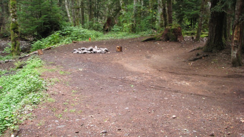
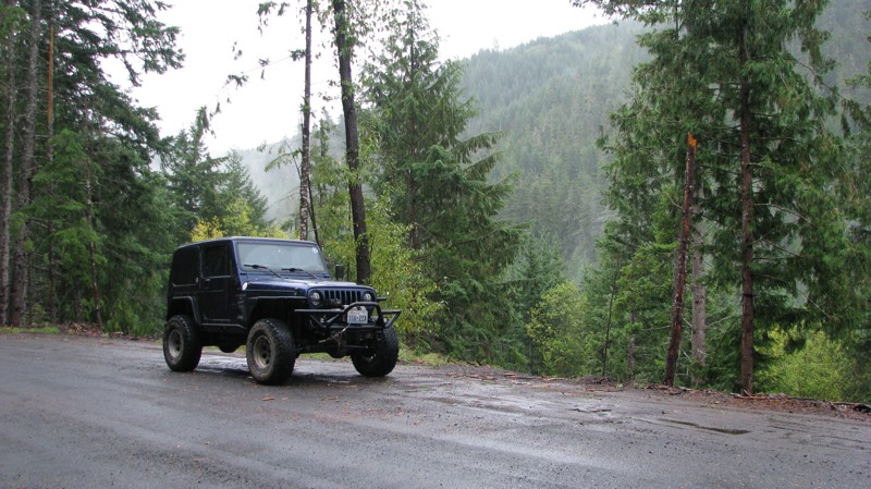
Short and sweet, Midnight Creek is an enjoyable drive through the forest at lower elevations. A dense canopy provides plenty of cool shade while the lush vegetation and abundant mountain runoff showca...
John Kapelski
Official Crew
Rated 5/5
Open
Visited: 09/13/2026
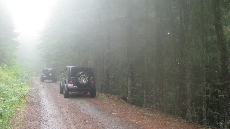
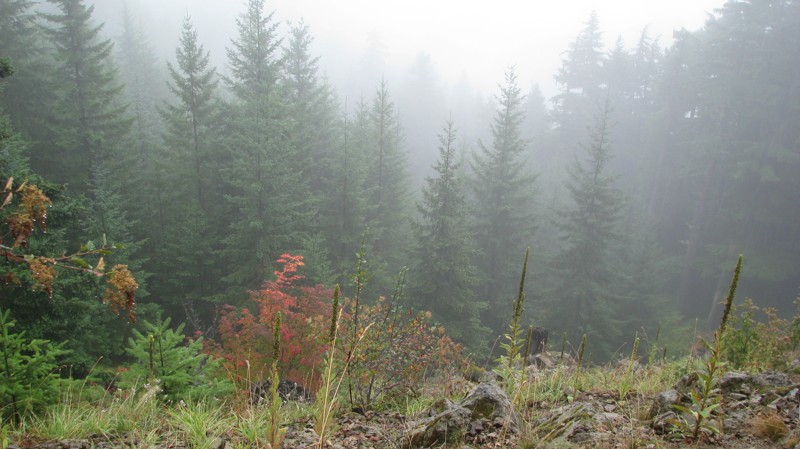
What a gem of a road! Even beneath the clouds, the route offers beautiful scenery, with early fall colors beginning to emerge and mist drifting through the surrounding mountains and forest of moss cov...
John Kapelski
Official Crew
Rated 1/5
Open
Visited: 09/13/2026
Total snooze fest. The most interesting part of the trail was when I ensured the gun was loaded driving past some local tweakers. Nothing to see here, much like the rest of the BOH trails in the PNW.
Francis whitney
Rated 3/5
Open
Visited: 09/09/2026
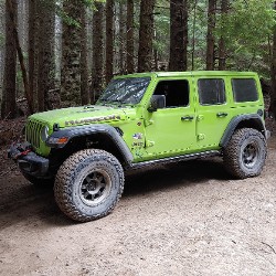
Beach access is easy and just about any vehicle can drive on the hard packed sand. A very important part that is not mentioned on the trail description is that driving on beach dunes is prohibited. Al...
Bill
Rated 5/5
Open
Visited: 09/07/2026
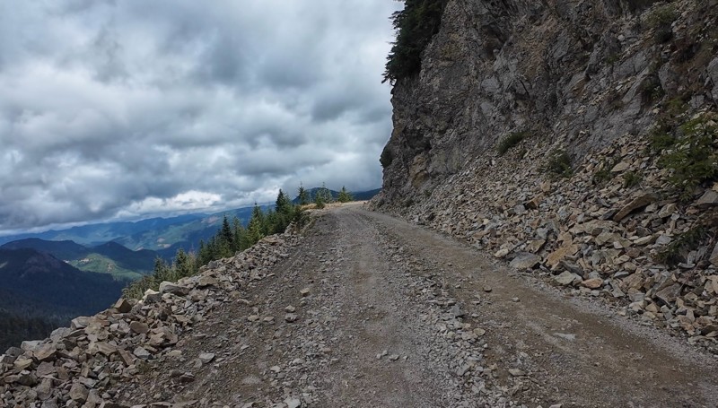
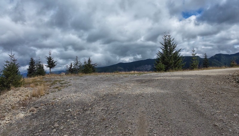
Very cool trail with multiple large campsites along the creek’s at the lower sections. Generally easy road surface with washboard areas.
John Kapelski
Official Crew
Rated 5/5
Open
Visited: 09/07/2026
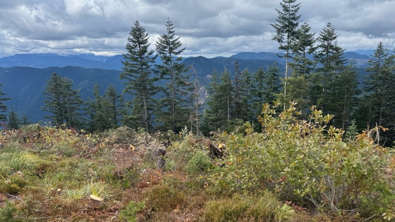
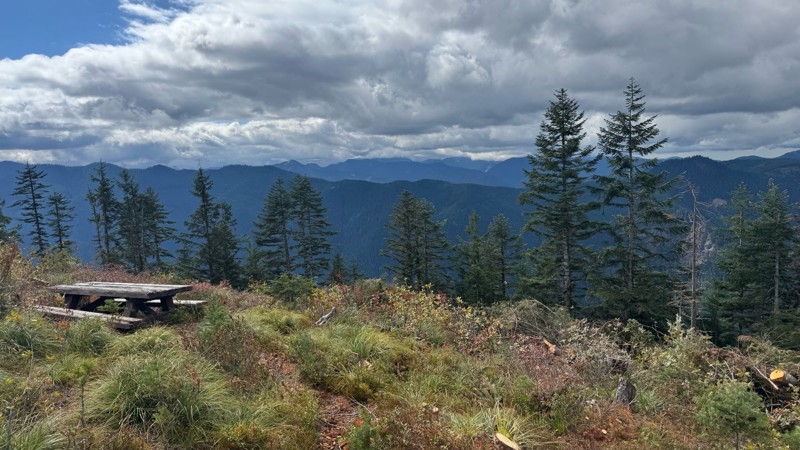
Road is easy and steep. Nice views thought the trees on the way up. Fabulous 360 degree views from the top. Cloudy days was not disappointing!
John Kapelski
Official Crew
No Rating
Open
Visited: 09/05/2026
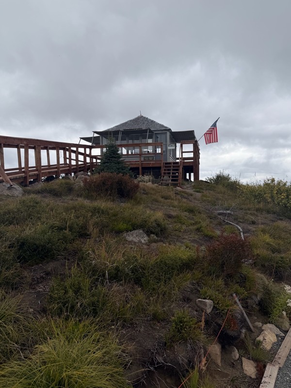
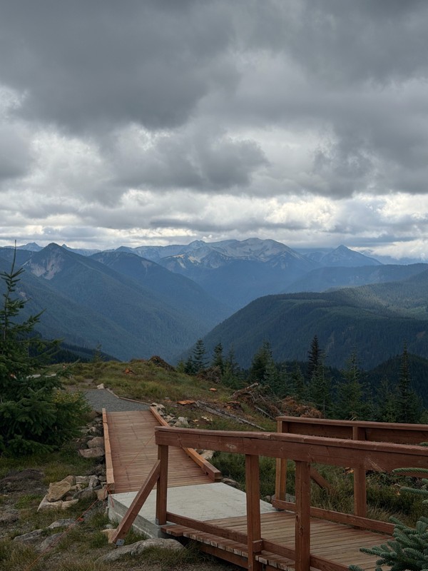
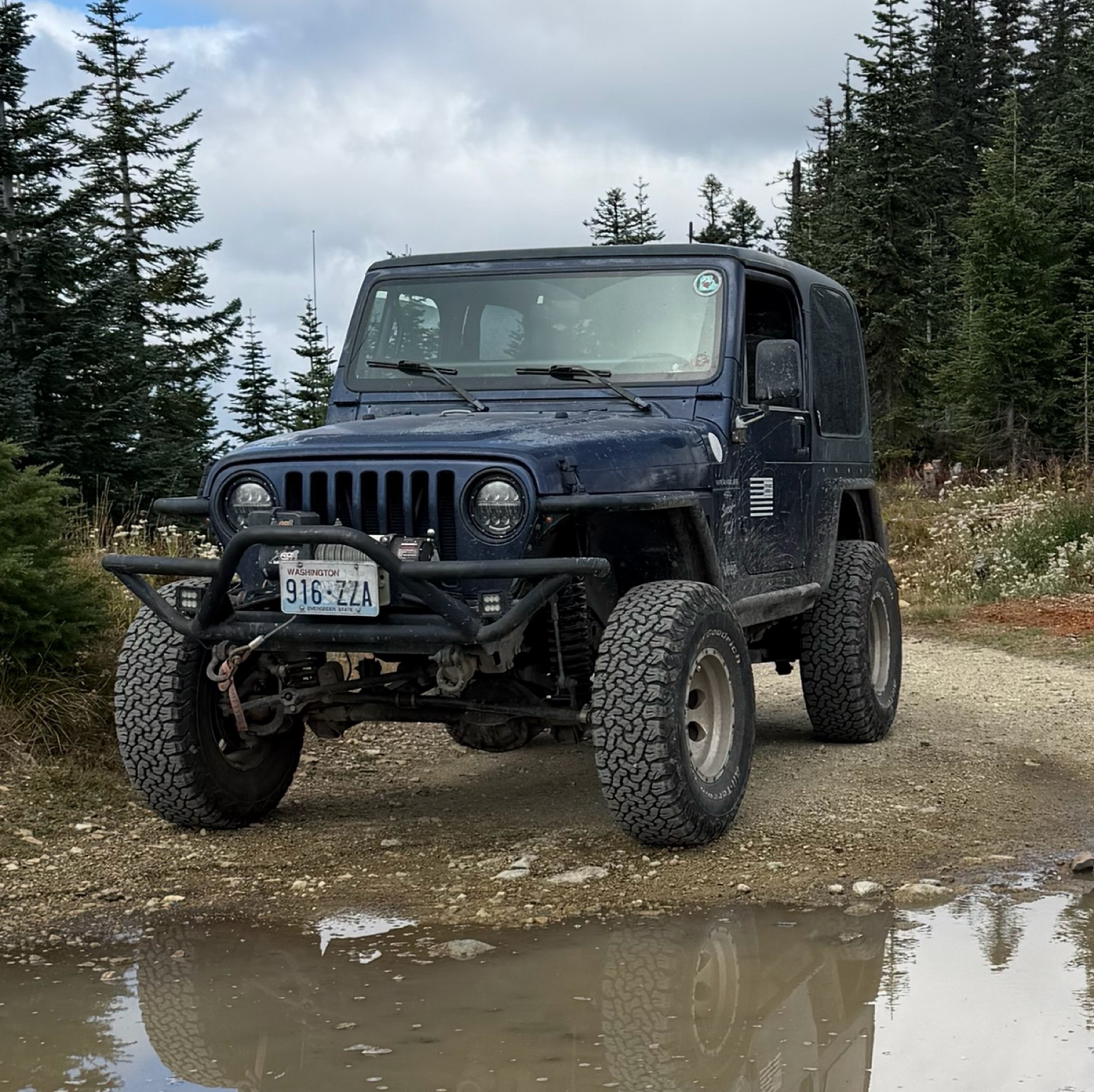
Difficult rating was spot on. Did the whole trail in 2 wheel drive. Grate views at the top
Austin Kapelski
Rated 4/5
Open
Visited: 09/05/2026
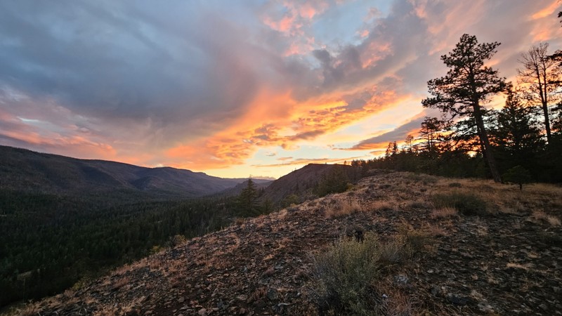
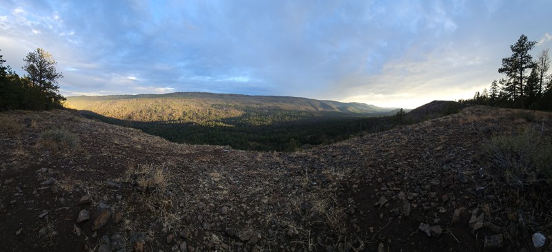
Nice quick camping trip, the campsite at the end of the road is still gorgeous, and sunsets are still pretty. the walk up to the actual devil's table is about a mile one way and 400' up, but nice view...

Ryan Wallace
Official Crew
No Rating
Seasonal Closure
Visited: 09/01/2026
According to this trails management agency, the trail is likely closed for the season.
You can reach out to the agency for more details.
Be sure to leave us a report and let us know ...

Trails Offroad
Official Crew
Rated 5/5
Open
Visited: 08/29/2026
Fun track with two people who have done this before and two, who haven't, a couple of nice waterfalls, and a good mix for everyone.
TW
Timothy Watson
No Rating
Partially Open
Visited: 08/29/2026
Tried access from North Wenas Highway at waypoint 8. Gate was posted with No Public Access. I would imagine waypoint 7 is the same as it appears to be private land???? Was not able to find access to w...
John Kapelski
Official Crew
Rated 5/5
Open
Visited: 08/28/2026
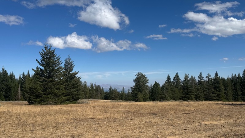
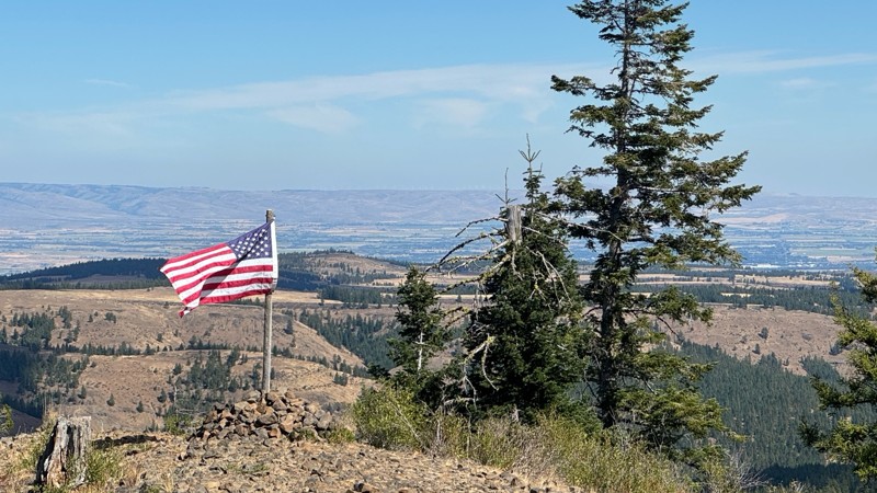
Continued from Rocky Flat,FS1701, down to Manastash Road. About 80% of the trail is down hill and never disappoints on the fun scale. More challenging that the 1701 and great views of the South Fork M...
John Kapelski
Official Crew
No Rating
Open
Visited: 08/28/2026
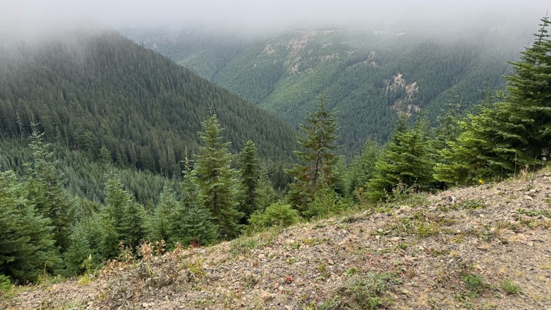
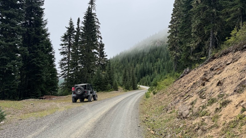
A great alternative to the Pyramid Pass route. Great camping looking over to Naches Trail
John Kapelski
Official Crew
Rated 5/5
Open
Visited: 08/28/2026
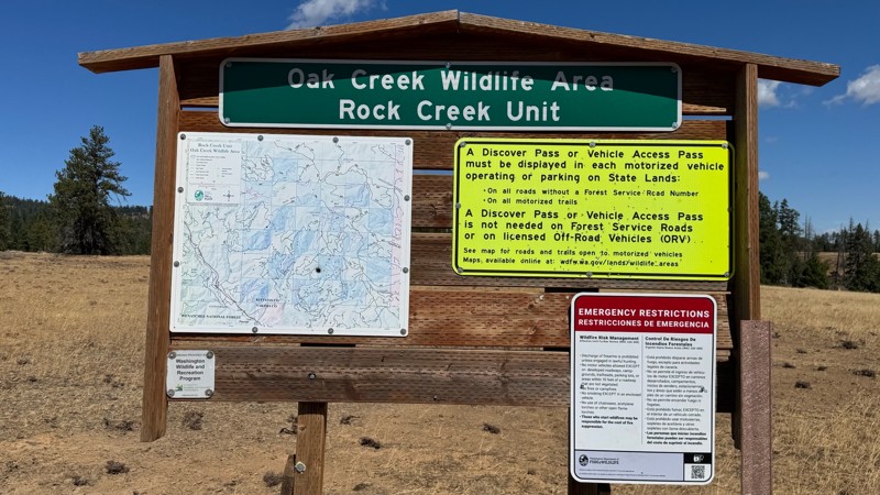
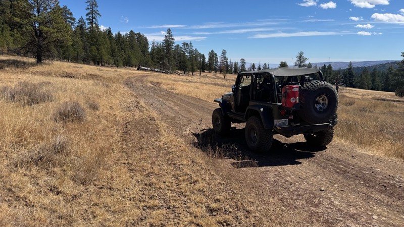
Nice dive up to waypoint 6 at five corners. Not as smooth as the initial incline but very scenic with great views to the west and east.
John Kapelski
Official Crew
No Rating
Open
Visited: 08/28/2026
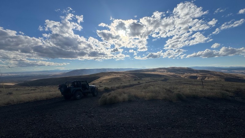
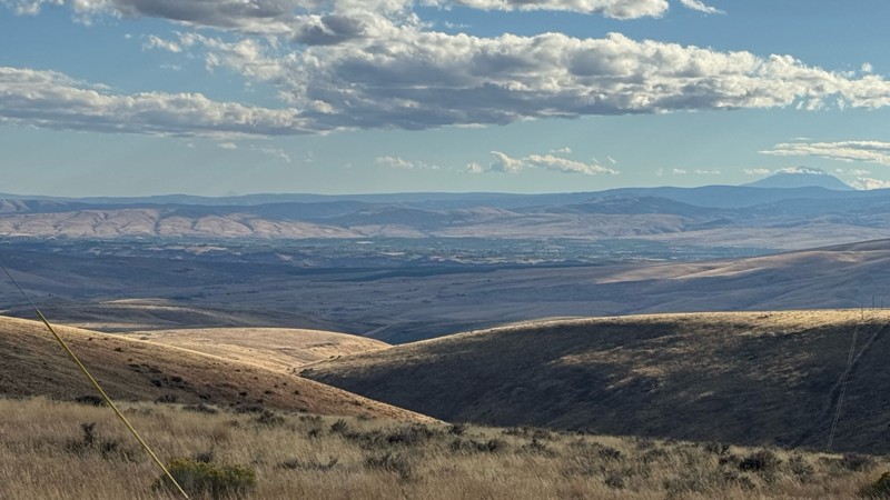
Connection area to Durr Rd and Old Durr Rd along with other trails is a bit confusing as there are “short cuts” to the same road. Umtanum Ridge is ruff. The high point is next to the towers with fant...
John Kapelski
Official Crew
No Rating
Open
Visited: 08/28/2026
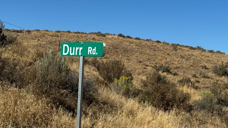
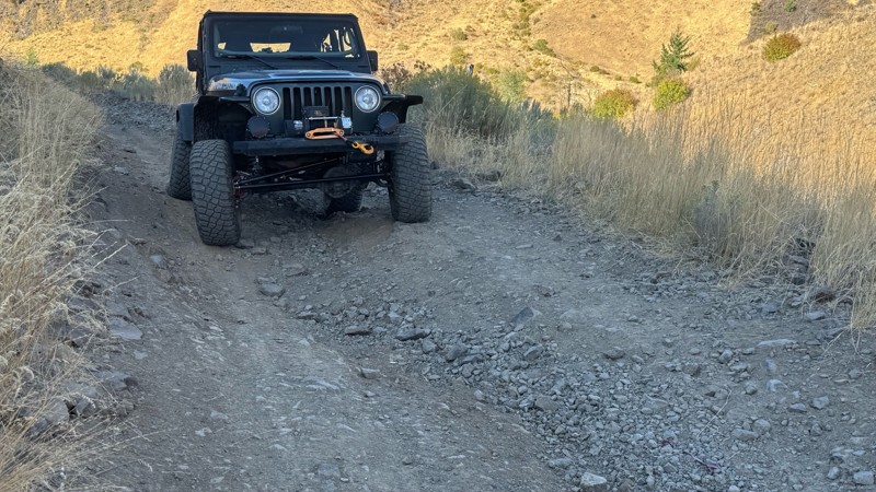
I drive this in the reverse direction of publish. Started out wide and smooth gravel surface than turned into a ruff narrow shelf road with limited places to pass. Best camping was at waypoint 3 by th...
John Kapelski
Official Crew
Rated 4/5
Open
Visited: 08/28/2026
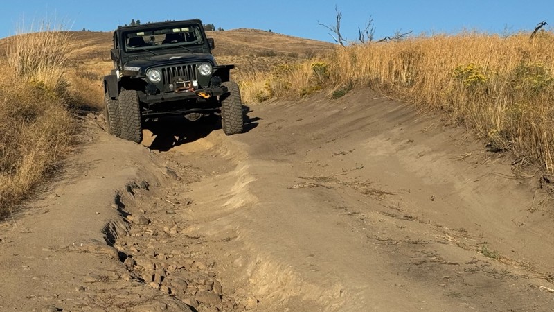
Waypoint 4-5 has changed due to water run off by exposing more rock face and creating deep ruts.
Large flat campsite next to waypoint 4, go straight before making the turn. It is the only site that ...
John Kapelski
Official Crew
Rated 4/5
Open
Visited: 08/28/2026
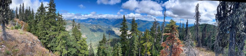
Incredible view on top! Unfortunately saw a group packing up camp on our way up and on our return down they had left lots of trash and a fire still burning during extreme fire danger and burn ban! We ...
J
Jason
Rated 4/5
Open
Visited: 08/20/2026
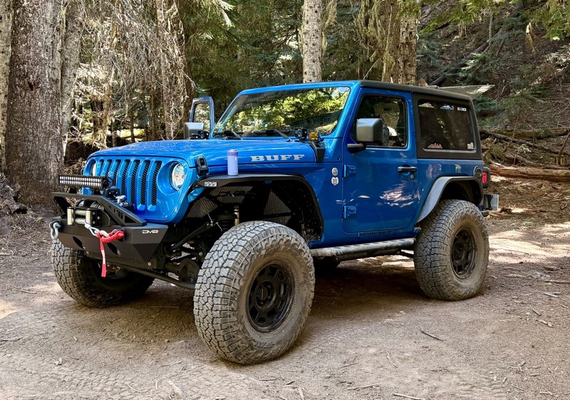
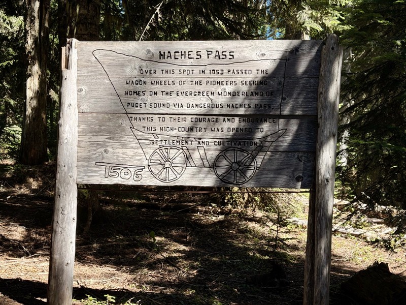
The trail is in great shape minus the section where the bridge is down. Ran into 1 other vehicle a SxS going east we were headed west. At the PCT cabin we talked to 4 through hikers refueling themselv...
CD
Carl Duester
No Rating
Open
Visited: 08/20/2026
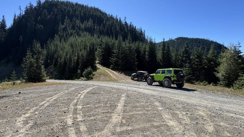
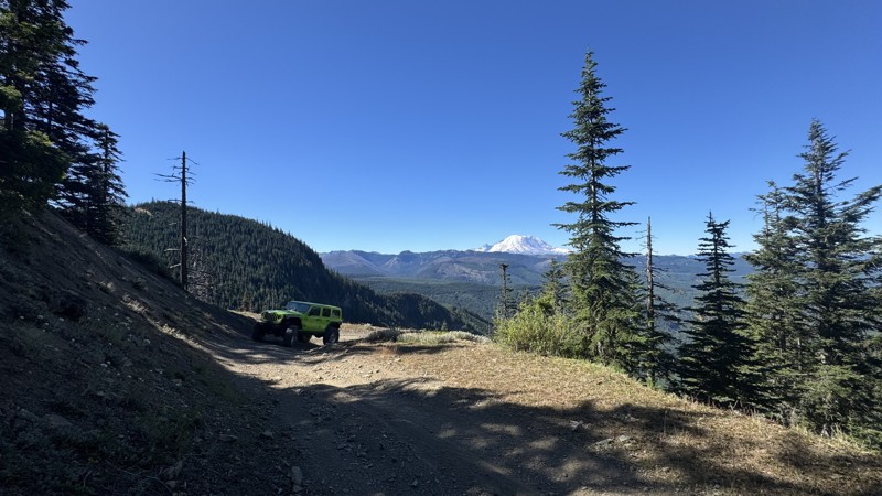
This road system offers continuous views of Mount Rainier to the south while climbing toward the rugged peaks of the northern Cascade Range. This short, enjoyable trail is well worth the few extra mi...
John Kapelski
Official Crew
Rated 3/5
Open
Visited: 08/17/2026
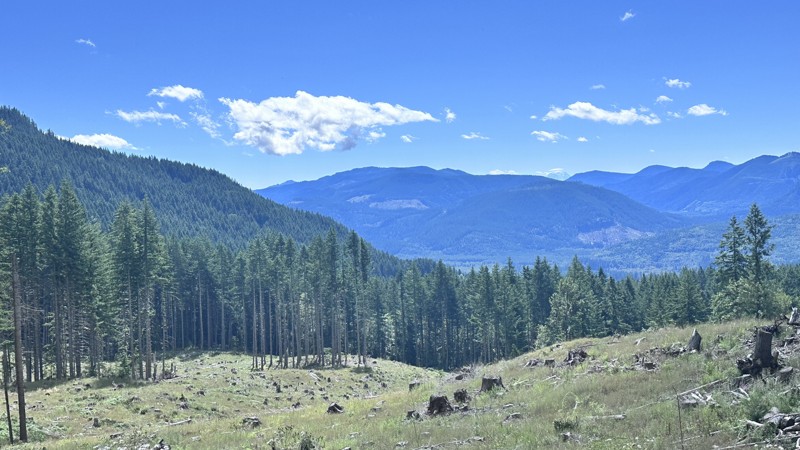
5 Road is exactly that a dirt road. Any 2WD vehicle can easily negotiate this trail. This trail is trailer friendly, but some of the tight turns are not suitable for longer trailers/campers. There are...

Eric Gartin
Official Crew
Rated 5/5
Open
Visited: 08/16/2026
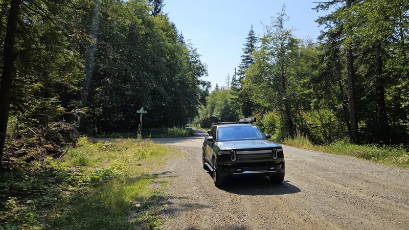
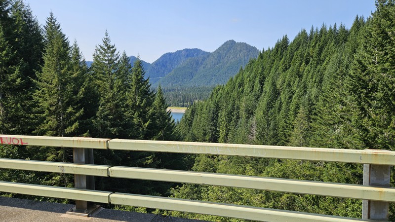
Our trip around the Wynoochee Loop was a mix of incredible scenery and some pretty technical driving. Traveling counterclockwise, we really felt the challenge starting on the final climb to the peak. ...
Ryan Wallace
Official Crew
Rated 5/5
Open
Visited: 08/15/2026
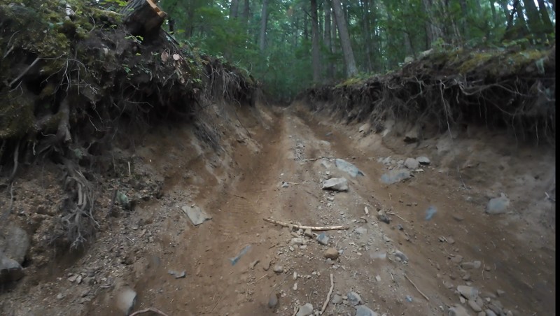
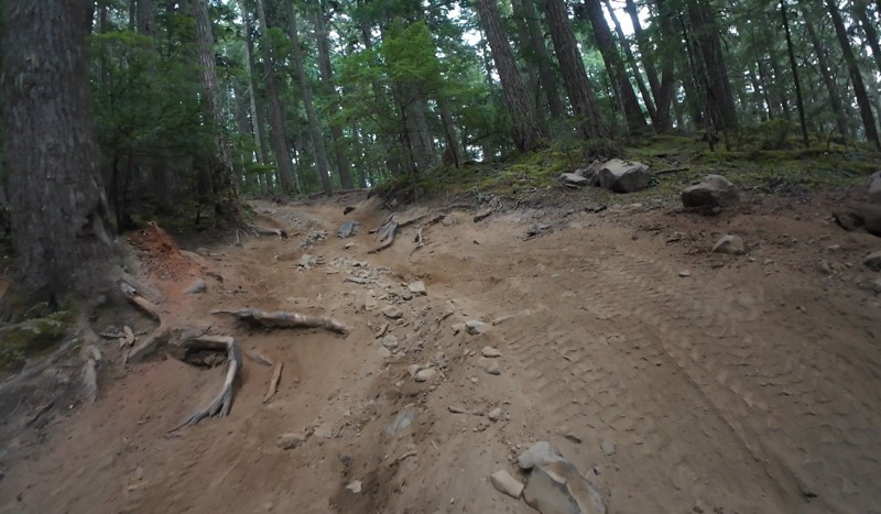
Wonderful day!!!!! Meet a two fellas doing their first trail ever. Shame on me for getting more photos. They had a BLAST!!!!! Hope to see them again.
John Kapelski
Official Crew
No Rating
Open
Visited: 08/11/2026
Per the MVUM, the trail is seasonally open. As always, check current fire restrictions/closures before venturing out.
Trails Offroad
Official Crew
No Rating
Open
Visited: 08/11/2026
Per the MVUM, the trail is seasonally open. As always, check current fire restrictions/closures before venturing out.
Trails Offroad
Official Crew
No Rating
Open
Visited: 08/11/2026
Per the MVUM, the trail is seasonally open. As always, check current fire restrictions/closures before venturing out.
Trails Offroad
Official Crew
No Rating
Open
Visited: 08/11/2026
Per the MVUM, the trail is seasonally open. As always, check current fire restrictions/closures before venturing out.
Trails Offroad
Official Crew
No Rating
Open
Visited: 08/11/2026
Per the MVUM, the trail is seasonally open. As always, check current fire restrictions/closures before venturing out.
Trails Offroad
Official Crew
No Rating
Open
Visited: 08/11/2026
Per the MVUM, the trail is seasonally open. As always, check current fire restrictions/closures before venturing out.
Trails Offroad
Official Crew
No Rating
Open
Visited: 08/11/2026
Per the MVUM, the trail is seasonally open. As always, check current fire restrictions/closures before venturing out.
Trails Offroad
Official Crew
No Rating
Open
Visited: 08/11/2026
Per the MVUM, the trail is seasonally open. As always, check current fire restrictions/closures before venturing out.
Trails Offroad
Official Crew
No Rating
Open
Visited: 08/11/2026
Per the MVUM, the trail is seasonally open. As always, check current fire restrictions/closures before venturing out.

Todd
Official Crew
No Rating
Open
Visited: 08/11/2026
Per the MVUM, the trail is seasonally open. As always, check current fire restrictions/closures before venturing out.
Todd
Official Crew
No Rating
Open
Visited: 08/11/2026
Per the MVUM, the trail is seasonally open. As always, check current fire restrictions/closures before venturing out.
Todd
Official Crew
No Rating
Open
Visited: 08/11/2026
Per the MVUM, the trail is seasonally open. As always, check current fire restrictions/closures before venturing out.
Todd
Official Crew
No Rating
Open
Visited: 08/11/2026
Per the MVUM, the trail is seasonally open. As always, check current fire restrictions/closures before venturing out.
Todd
Official Crew
No Rating
Open
Visited: 08/11/2026
Per the MVUM, the trail is seasonally open. As always, check current fire restrictions/closures before venturing out.
Todd
Official Crew
No Rating
Open
Visited: 08/11/2026
Per the MVUM, the trail is seasonally open. As always, check current fire restrictions/closures before venturing out.
Todd
Official Crew
No Rating
Open
Visited: 08/11/2026
Per the MVUM, the trail is seasonally open. As always, check current fire restrictions/closures before venturing out.
Todd
Official Crew
No Rating
Open
Visited: 08/11/2026
Per the MVUM, the trail is seasonally open. As always, check current fire restrictions/closures before venturing out.
Todd
Official Crew
Todd
Official Crew
Todd
Official Crew
No Rating
Temporary Closure
Visited: 08/11/2026
Closed due to the Sinlahekin fire.
Todd
Official Crew
No Rating
Open
Visited: 08/11/2026
Per the MVUM, the trail is seasonally open. As always, check current fire restrictions/closures before venturing out.
Trails Offroad
Official Crew
No Rating
Open
Visited: 08/11/2026
Per the MVUM, the trail is seasonally open. As always, check current fire restrictions/closures before venturing out.
Trails Offroad
Official Crew
Most Popular
Updated: 06/15/2024
Shoestring
Cliffdell, Washington
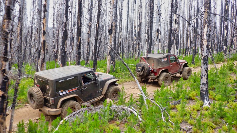
Shoestring Trail is located in the Okanogan - Wenatchee National Forest and is one of the more technical trails found in the Manastash ORV trail system. Ready for a more technical challenge? Then Shoestring is a great choice.
Much of Shoestring Trail traverses a burnt forest. So while wrestling with the technical hill climbs, take some time to observe how the forest is working to recover its previous pristine beauty. You just can't imagine the destructive force and heat that a forest fire is capable of unless you drive through a burned area like this one. Try and imagine just how hot this must have been. What was a sad incident at the time becomes something of a rare beauty when you see nature on a path of recovery. This forest fire, while tragic at the time, is a natural process. And this forest, while severely burnt, is well on it's way to replacing what was lost and takes on its own special wonder in the process.
Updated: 06/05/2022
Tahuya - Sasquatch Run
Belfair, Washington
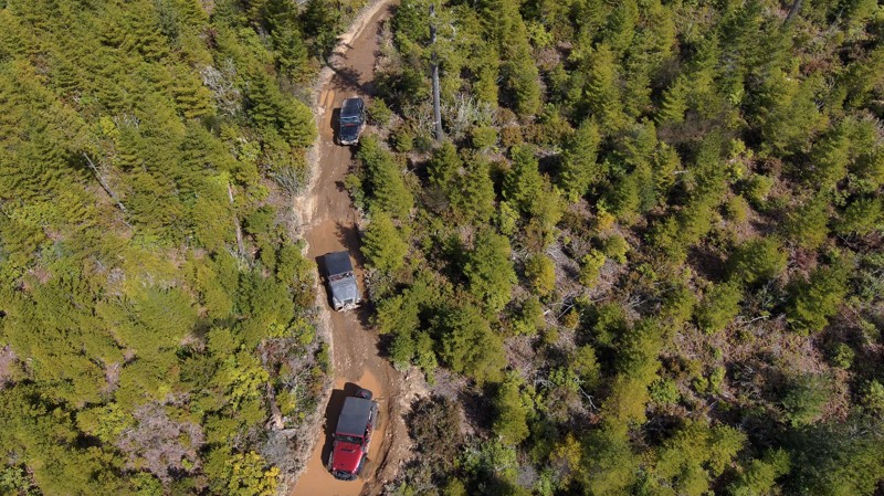
Sasquatch Run is located in the West Loop section of the Tahuya State Forest and is reserved for more built vehicles with at least a small lift and larger tires. This trail will have you on your toes as you figure out how to keep from banging your undercarriage. Tire placement is key, and spotters are often kept busy on shorter vehicles.
Tahuya State Forest ORV area is a great 4x4 destination for beginners up to seasoned veterans. While this forest trail system does have some challenging man-made rock gardens, for the most part, the only hindrance to stock vehicles would be the depth of some of the standing water in the fall, spring, and winter months and, of course, the "Rock Gardens" that were put in for more modified rigs. Tahuya has been nick-named "2-wheel Tahuya" as most of the trails are fairly easy. But some trails are definitely not for beginners. This makes it the perfect place for beginners to gain some skills before attempting more difficult trails. There is not really a good map produced that shows all of the trails in this park as some are 4x4, some are for motorcycles/ATV's, and some are just for walking/mountain biking.

Updated: 08/24/2026
FS 84
Longmire, Washington
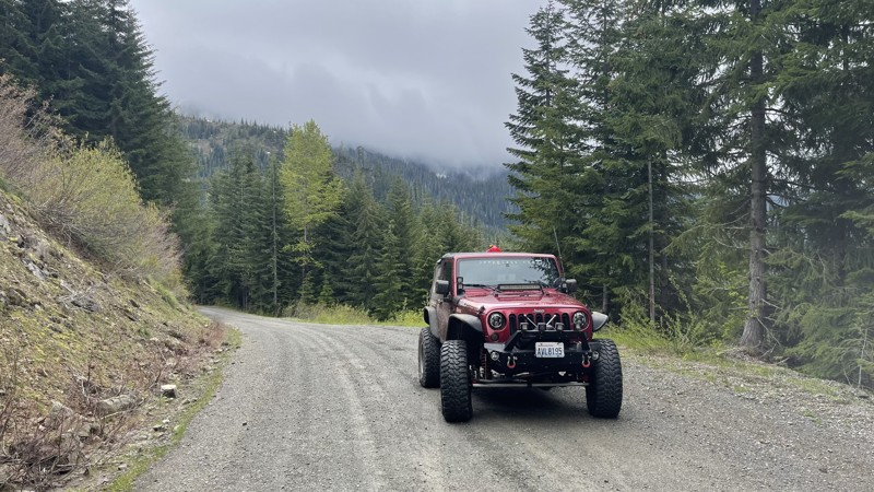
FS 84 starts in Ashford, WA, and climbs south through very lush and old-growth forests. There are magnificent views of Mount Rainer. The trail tops out at about 3700 feet, and in the early spring and fall months could become impassible due to the snowpack. Many side roads to other lookouts could provide really nice camping spots. This road is open year-round and is a popular snow route for those that enjoy exploring the deep snow in their 4x4 rigs.
Updated: 09/29/2025
Sadie Creek - Forest Service Road 3040 - 3068
Shadow, Washington
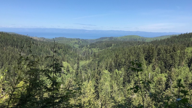
Forest Service Road 3040, also known as "Kloche Nanitch Lookout," starts at the Sadie Creek camping area. It is a 10.09-mile hard-packed gravel road suitable for all vehicles. At about the 8-mile mark, the road becomes FS-3068 and continues another 2 miles ending at a trailhead for the Pyramid Peak hiking trail. This hiking trail is about a 4-mile hike to an overlook of Lake Cresent.
Updated: 05/15/2024
Rattlesnake
Nile, Washington
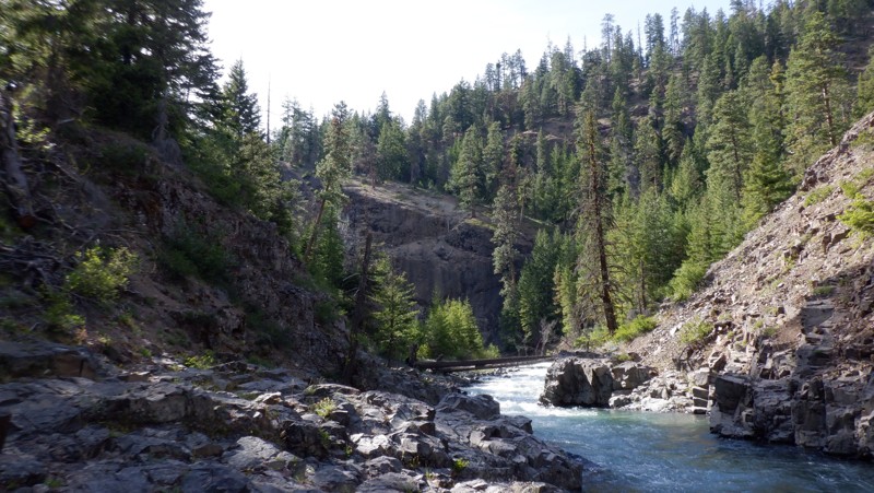
Rattlesnake is a wonderful trail located in the Okanogan-Wenatchee National Forest. This and its sister trail, Little Rattlesnake, are well hidden and don't see a lot of traffic. This trail climbs up alongside "Rattlesnake Creek" sporting high volcanic bluffs towering above the river through old-growth forest, and then after beautiful views, travels down into the creek drainage, crossing several jeep bridges and puts you right alongside the creek and rushing white water. The trail wanders back and forth close to the creek, driving past several beautiful dispersed camping spots. The trail ends where the walking trail continues at a campsite sporting a large fire pit next to the river, allowing easy swimming access.
Updated: 11/20/2023
Mine to Market Trail
Roslyn, Washington
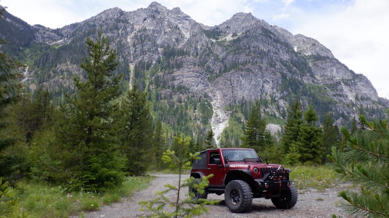
The Mine to Market Trail, 4W305, follows an old turn-of-the-century mining road used to get into the upper reaches of the surrounding mountains. Nine switchbacks climb steeply up the mountain. This trail has a caretaker who owns a cabin at the beginning of this trail. His family made a mining claim before the turn of the century, and by continually reapplying for the claim, he can keep his family cabin. He is responsible for keeping this trail open and has made continuous improvements. The cabin is at Waypoint 3. If you are traveling on a weekend, beep your horn as you pass by and look for a wave. During an interview, he stated that he always looks out for those traveling up his trail. If he doesn't see them come back down in an hour, he is on the move to see if they are in trouble.
Updated: 08/27/2023
Tahuya JBX
Belfair, Washington
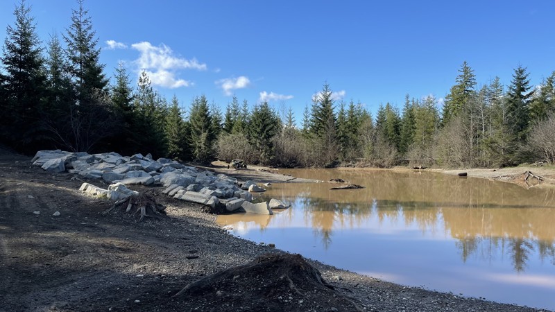
Tahuya State Forest ORV area is a great 4x4 destination for beginners up to seasoned veterans. While this forest trail system does have challenging man-made rock gardens, for the most part, the only hindrance to stock vehicles would be the depth of the standing water in the fall, spring, and winter months and, of course, the Rock Gardens that were put in for more modified rigs. Tahuya has been nick-named "2-wheel Tahuya" as most of the trails are fairly easy. This makes it the perfect place for beginners to gain skills before attempting more difficult trails. There is not really a good map of the trails in this park, as some are 4x4, some are for motorcycles/ATVs, and others are just for walking/mountain biking.
JBX is just one of the many routes to explore in this Tahuya ORV area. JBX is a connector trail that can be run in either direction. The trail has large mud pits in the spring and fall months and the Twin Ponds Play Area, where parking on the rocks and taking pictures is a must. There are also stunning views of the surrounding Olympic Mountains.
As a reminder, always tread lightly, stay on the trails, and follow the purple 4x4 triangles for other trails in the park.
Updated: 03/12/2026
First Timer
Mount Vernon, Washington
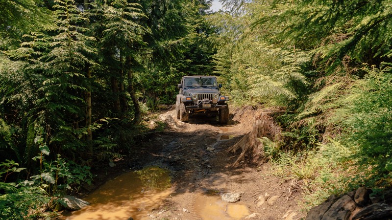
Rock crawling can be intimidating, especially for beginners. Thankfully, First Timer is here to ease your concerns. This route bypasses the hardest obstacle of
as well as the challenges of the nearby Skills Area of the park. The trail also connects both the top and bottom of
, making a small loop that can be run several times over. There’s no shame in taking the easier line; all wheelers start somewhere. It’s better to leave the park wanting to come back for more than to limp away from a stressful day. Walker Valley ORV is comprised of 3,200 acres, with twelve 4X4 trails, and several more ATV and dirt bike trails. The trails offer many challenges like rocks, roots, and ruts. These obstacles will change from season to season, with the addition of snow and rain, which can also produce large puddles and muddy stretches. From the mild to wild, Walker Valley ORV provides something for everyone.

Updated: 06/15/2024
Mud Springs
Naches, Washington
This trail is special and unique because it follows a high mountain ridgeline on the boundary of an untouched wilderness area with views from atop a 1500 ft. cliff face. You can expect soft delicate meadows, the trail winding narrowly through mature forests, tricky root systems, and rocky loose ledges. There is an element of danger involving the cliff that most of the trail follows but that just adds to the excitement when you think about what a mistake might involve. There are two other trails that connect so a full day of exploration can be expected if desired. (4W679 Clover Springs & 4W665 Sweet Home)
Updated: 06/05/2022
West Kachess Wetlands
Easton, Washington
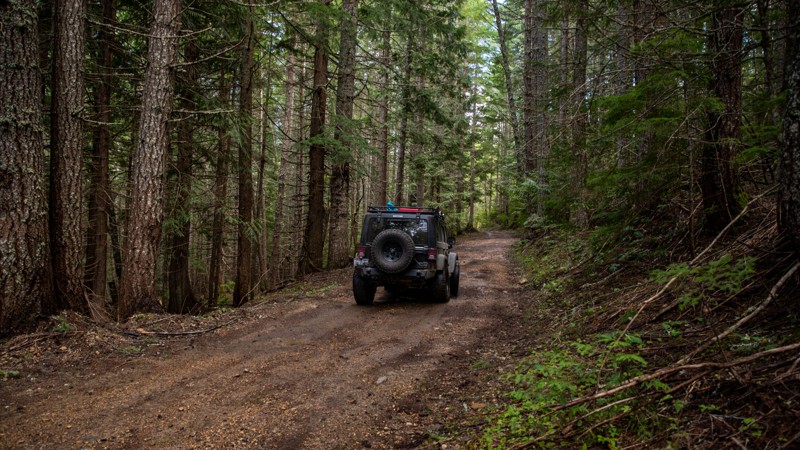
This route is predominantly used as a snowmobile trail in the winter, but once the snow melts it makes for a fun detour off the main forest road, FR-4828. The terrain is mainly soft dirt with some rocky areas, which a hard rain can turn rather muddy. The trail navigates through lush forest along the edge of a large wetland adjacent to Lake Kachess. In many places, a short walk off the trail affords visitors with beautiful views of the wetlands and the various critters that call it home such as beavers and herons. However, those who are worried about their paint jobs may want to be cautious about taking this trail, as some pinstriping might occur due to its narrow and poorly maintained nature. This trail is best to run June-October to avoid patches of lingering wet snow.
Updated: 06/15/2024
Lost Lake
Cliffdell, Washington
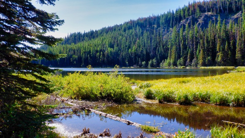
Lost Lake is located in the Okanogan - Wenatchee National Forest in the Manastash Ridge Recreation area. This trail is a nice but difficult drive to a beautiful alpine lake. The trail going in is quite technical and quite bumpy as it skirts a lava formation, and rocks and more rocks are on the menu. While the trail is difficult the reward is a beautiful lake to enjoy a lunch or maybe some overnight camping. There is a nice stream crossing and some short off-camber hill climbs to keep it interesting. This is the only lake in the area that is accessible by 4x4 so it is a must-see if you are wheeling in the area.
Updated: 06/15/2024
Summit
Cliffdell, Washington
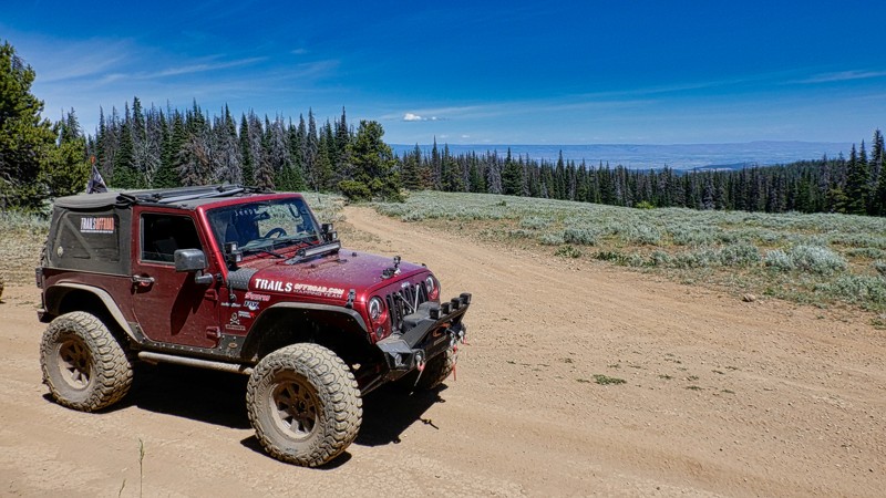
The Summit trail is located in the Okanogan - Wenatchee National Forest in the Manastash Ridge area. There are dozens of trails in this area for 4x4, UTV, and motorcycles. This 4.95-mile trail runs east to west along the Manastash Ridge and stays pretty much on the ridge so there are lots of beautiful views of the surrounding mountains on both sides of the ridge.
Two really nice views stand out. There is a breath-taking view of the Manastash Lake looking down from 5500 feet. On a clear day, you can see all the way into Canada more than 160 miles away. Another exceptional point along this trail is Funny Rocks. This is a lava-rock formation that is very popular with the 4x4 community for it's challenging rock climbs on the grippy lava surface. The Summit trail is very popular and connects with many more of the trails on the Manastash Ridge. The Summit is a must-do if you visit this area.
Updated: 05/19/2024
Elbe Hills OHV - Rainier Vista Trail
Elbe, Washington
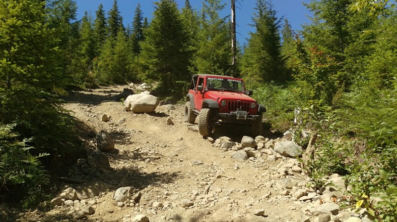
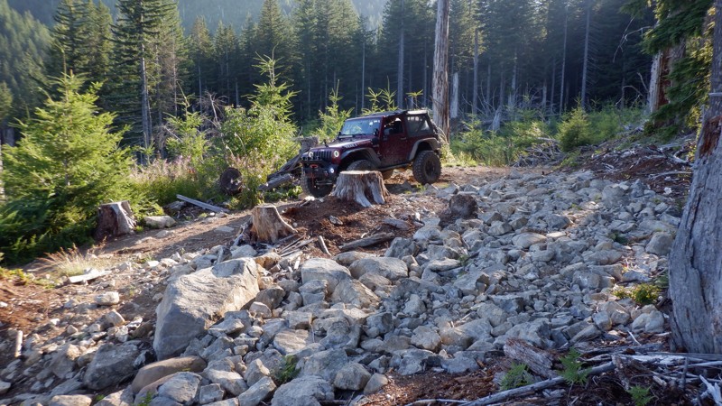
The Rainier Vista trail crests at the highest elevation within Elbe Hills, but to get there its a rocky uphill climb with massive boulders and loose rocks all throughout the trail. The DNR recommends 36" off road tires, dual lockers, body armor and a winch. Regardless of these recommendations, it should not scare you off this trail; a moderately modified rig with lockers can navigate this trail, but keep in mind, there are no bypasses for any obstacles except the lower rock garden. An off-shoot of the main trail, the upper rock gardens are designed for buggies and extremely well built trucks, this trail also leads to the infamous "Pit" a large playground for any skill level. The Rainier Vista trail is for anyone looking to test their mettle (pun intended) and take in one of the most majestic views of Mount Rainier you have ever seen.
Updated: 06/05/2024
Snaggle Tooth
Camas, Washington
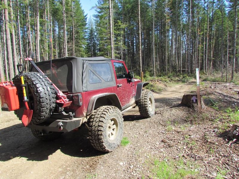
Snaggle Tooth is the third in a series of trails that are usually run consecutively. Running Skyline Trail, Screech Owl, and Snaggle Tooth will surely make for an exciting day. This trail is fairly short but very challenging with its twisting hill climbs, very tight turns, and a couple of fun optional rock gardens to play on. Running these trails together makes for a fun-packed adventure that will really test your rig and your skills behind the wheel.
Updated: 06/05/2022
Tahuya River Trail
Belfair, Washington
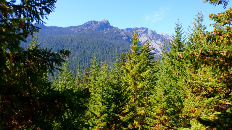
Tahuya State Forest ORV area is a great 4x4 destination for beginners up to seasoned veterans. While this forest trail system does have some challenging man-made rock gardens, for the most part, the only hindrance to stock vehicles would be the depth of some of the standing water in the fall, spring, and winter months and of course, the rock gardens that were put in for more modified rigs. Tahuya has been nick-named "2-wheel Tahuya" as most of the trails are fairly easy. But there are some trails that are definitely not for beginners. This makes it the perfect place for beginners to gain some skills before attempting more difficult trails. There is not really a good map produced that shows all of the trails in this park as some are 4x4, some are for motorcycles/ATV's, and some are just for walking/mountain biking. This trail writeup is for Tahuya River Trail which is a connector trail to get from Service road G3000 to connect to Trail 55.
Updated: 08/11/2026
NF-4600
Driftwood Acres, Washington
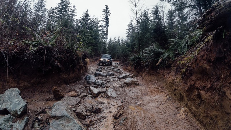
NF-4600 starts at the north end of Cle Elum Lake and goes northwest 9.3 miles to end at the Mineral Creek Trailhead. There is no dispersed camping on this road, but there is a campground at nearby Cooper Lake. There are only a few lookouts, but those are pretty epic.
Updated: 03/12/2026
Timber Tamer
Mount Vernon, Washington
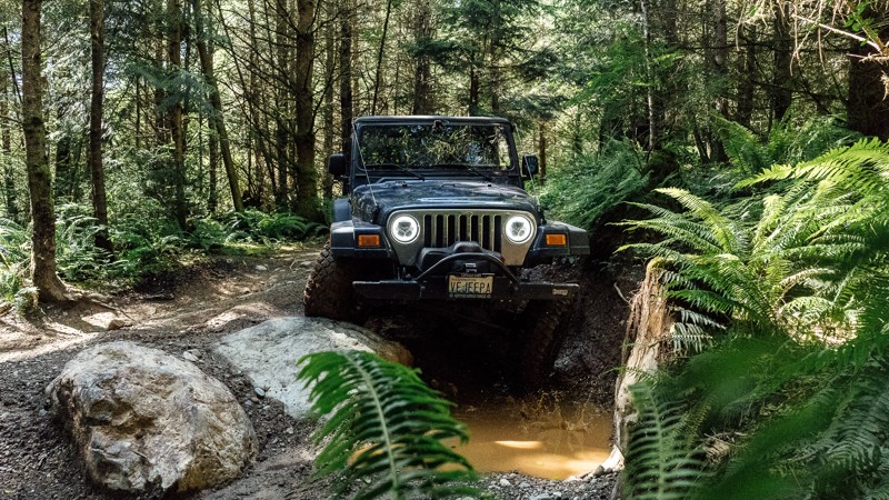
Located approximately 10 miles south-east of Mount Vernon, Washington, Timber Tamer is the first of twelve 4X4 trails located in the Walker Valley ORV Park. Despite its short length, it possesses many challenges, including a pair of rock gardens in the upper portion, a large rock obstacle in the middle, and muddy ruts below. Choosing the right line will be critical in preventing you from slamming on your differential, and rain will add another layer of challenge, making it much harder to keep from sliding. Heavily modified vehicles will have a great time testing their skills on the rocks, while more lightly modified vehicles will want to go in a group or stick to the lower section. This trail will change from season to season, with the addition of snow and rain. From the mild to wild, Walker Valley ORV provides something for everyone.
Updated: 03/12/2026
Ridge Ram
Mount Vernon, Washington
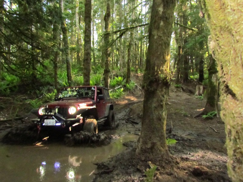
Ridge Ram is one of several trails in the Walker ORV Park, and is considered one of the more challenging. The main highlight of the trail is uphill rock garden found at the end of the first portion. On busier days, small crowds will gather along
to watch the brave and bold attempt to tackle this uphill challenge. But if rocks aren’t your thing, there’s still plenty of trail left, with deep muddy ruts to dirty up your rig. Whether you choose to observe others or you attempt the rocks yourself, Ridge Ram is a must when you visit the park. Walker Valley ORV is comprised of 3,200 acres, with twelve 4X4 trails, and several more ATV and dirt bike trails. The trails offer many challenges like rocks, roots, and ruts. These obstacles will change from season to season, with the addition of snow and rain, which can also produce large puddles and muddy stretches. From the mild to wild, Walker Valley ORV provides something for everyone.
Updated: 06/05/2022
Sadie Creek - Radiator Hill
Port Angeles, Washington
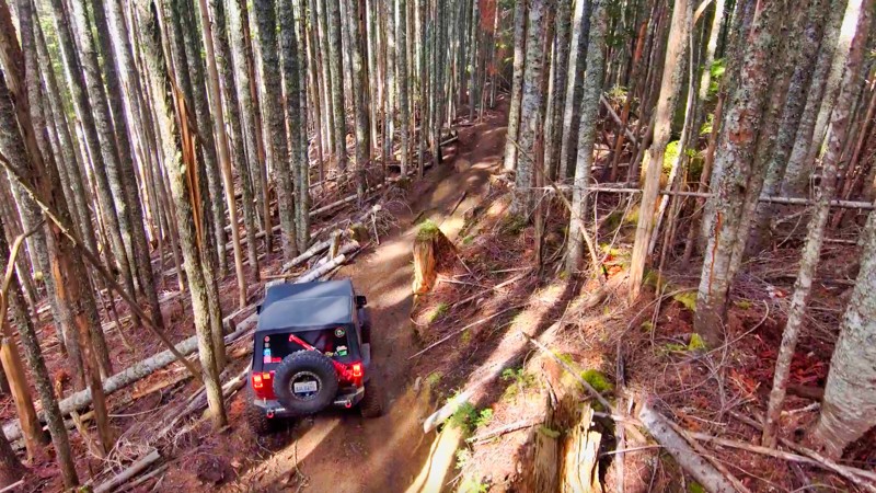
Radiator Hill is situated on DNR land in a 4x4 park called Sadie Creek Multi-Use Trail System. There are four trails that weave through forests of varying ages and some clear-cut areas. Radiator Hill has some seriously difficult hill climbs and three very significant mud obstacles that will be present during the rainy season. What compounds these two factors is the fact that the trail twists and turns tightly through old growth forest. There are trees at every turn that are begging to give you a kiss and mark your fender flares or maybe a big hug as you slam into them off-camber.
While this park may not be very large and only has four short trails, the trails very tight and the presence of mud will make this a pretty difficult task for most vehicles no matter what the build.
Updated: 04/01/2024
Evans Creek / Trail #198
Wilkeson, Washington
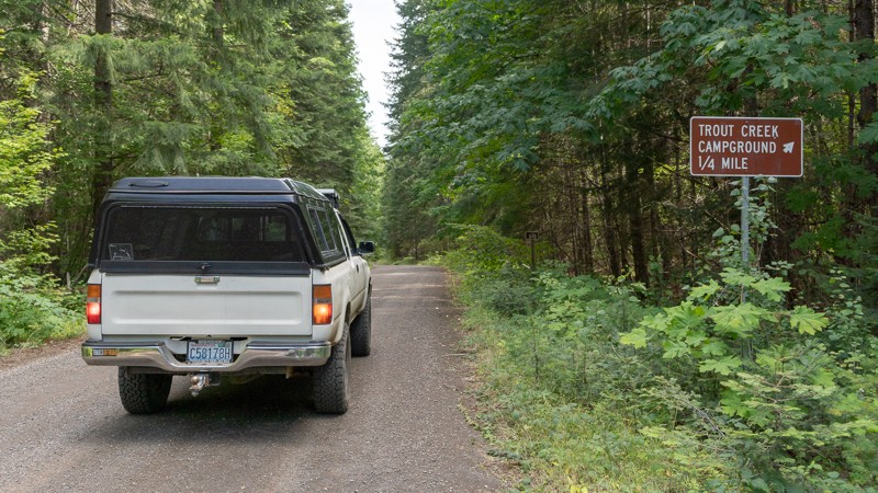
Nestled within the lush greenery of the Mt. Baker/Snoqualmie National Forest, Trail #198 awaits adventure seekers in the Evans Creek ORV area. The trail is part of a network of twelve trails designated for 4x4 use, offering over 45 miles of thrilling rides amidst the rugged terrain. As you embark on your journey, the trail passes through old-growth forests filled with switchbacks, narrow turns, and a few steep inclines that test the limits of your driving skills. The old-growth timber growing magnificently in all directions stands tall and straight, creating a truly majestic atmosphere. Trail #198 is an ideal trail for beginners to start their 4x4 journey, as it provides ample opportunities to build their confidence in their driving and vehicle capabilities.
Updated: 08/27/2024
Sleeping Beauty
Trout Lake, Washington
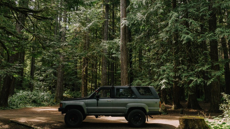
Once you leave Trout Lake, NF-8810 takes you back into the forest. Waypoint 2 directs you to designated camping early on, so you can start this trail early in the morning after a night's rest. Otherwise, continue with your journey. With over 15 miles in length, Sleeping Beauty brings you up along the western side of the Mount Adams Wilderness, ultimately ending at NF-23, a paved road. There are two significant hikes near this trail. The first is Sleeping Beauty Peak. Sleeping Beauty is a challenging hike that, while only 1.3 miles in, gains nearly 1,400 feet in elevation. Atop the peak, you are rewarded with views of Mount Adams and Indian Heaven Wilderness. You'll also cross the Pacific Crest trail twice. The Pacific Crest Trail is a 2,653-mile hiking and equestrian trail that spans between the Mexican and Canadian borders. Being greater in length, this trail is a nice change of pace, allowing you to cruise along, heading further north towards Mount Adams. Views of the mountain may be possible through the trees, but if you miss out, there are plenty of views from trails further on. This trail is part of the Washington Cascade Overland Route. Visit Overlanding Across Washington for more information, including which trails to take next.
Updated: 06/05/2022
NF-2880
Blyn, Washington
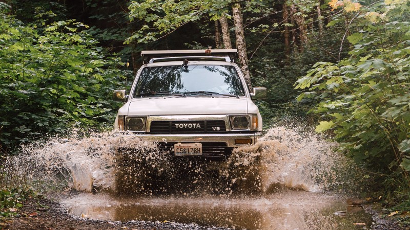
NF-2880 is a connecting road off of Hwy 101, via Palo Alto Road, and is the main of two roads in and out of the northeast portion of the Olympic National Forest. From NF-2880, you pass the Dungeness Forks Campground, before it continues on to NF-2870; a 20-mile long trail into the Olympic National Forest containing several hiking trails. This region also gives you access to the Buckhorn Wilderness area.
The Olympic National Forest and Buckhorn Wilderness area has an abundance of forest roads, hiking trailheads, and campsites. It encompasses 258 acres of land and is the largest Wilderness area of the Olympic National Forest. The terrain can be quite steep, ranging from 1,000 feet near the Gray Wolf River to the summit of Mt. Fricaba, at an elevation of 7,134 feet. Subalpine fir and western white pine are present at higher elevations, and Douglas-fir, western hemlock, and red cedar grow on the lower slopes. The Gray Wolf, Dungeness, and Big Quilcene Rivers flow through the Wilderness, along with several smaller streams.
Updated: 08/26/2023
NF-1831
Cook, Washington
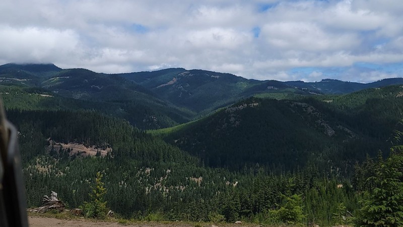
NF-1831 is one of many trails located in the Gifford Pinchot National Forest. Traveling further into the forest, the trees become denser. At times the road can be narrow, and thus pinstriping may occur on wider vehicles. It’s a nice stroll through the woods, especially after a rainfall if you’re looking to do some puddle running, and is doable for most any driver and vehicle, depending on weather conditions. This trail is part of the Washington Cascade Overland Route. Visit Overlanding Across Washington for more information, including which trails to take next.
Updated: 12/01/2023
Mill Gulch Trail
Liberty, Washington
This trail is in the Okanogan-Wenatchee National Forest. While any forest road will give you amazing views of the valley below or the abundance of wildlife in the area, the real treat comes when you get off-road on any of the designated trails. Here you will climb to higher places and see even more breathtaking views, all while enjoying the challenge of going off the beaten path. In the early morning, you can hear songbirds sing or see the chipmunks playing in the ground as they run through down trees and foliage. During the day, you might see a blacktail deer or buck standing tall in the field watching you as you pass by. The possibilities are endless.

Upgrade your Membership
Unlock all of the details on every Trail Guide and Scout Route.
Start a 7-day Free TrialCommunity
Partners

