



By clicking "ACCEPT", you agree to be the terms and conditions of each policy linked to above. You also agree to the storing of cookies on your device to facilitate the operation and functionality of our site, enhance and customize your user experience, and to analyze how our site is used.
Idaho Off-Road Trails
63
Total Trail Guides 60

644
Detailed Waypoints 302
Try a Free 7-Day Trial and unlock it all
Start a Free Trial Most Recent Trail Reviews
No Rating
Open
Visited: 09/19/2026
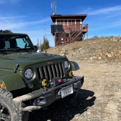
Fun drive, lots of dirt bikes and a few BDR Moto riders. Drove it in reverse direction.

Kim Richards
No Rating
Open
Visited: 09/19/2026
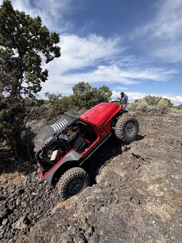
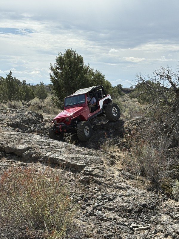
This trail was a great time. It is very unique, ive never been on a trail like it. the lava rock has plenty of traction and is pretty nasty on tires. But all in all I would recommend it to be done at ...
JP
Jared Pyne
Rated 3/5
Open
Visited: 09/15/2026
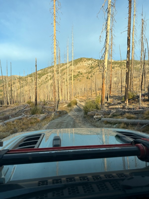
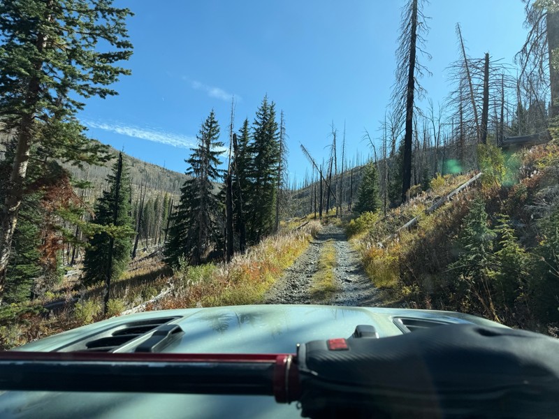
Trail consists of mostly narrow 2-track. Softball to soccer ball sized rocks. Slow going. Most of this forestland experienced fire in the past few years and is still recovering. Pulled a 9’ off-road t...
JH
Jason Holmes
No Rating
Open
Visited: 09/05/2026
Been going here for 57 years and the road keeps getting easier and easier. Sedans can make it.
BC
Bruce Chadwick
Rated 4/5
Open
Visited: 09/01/2026
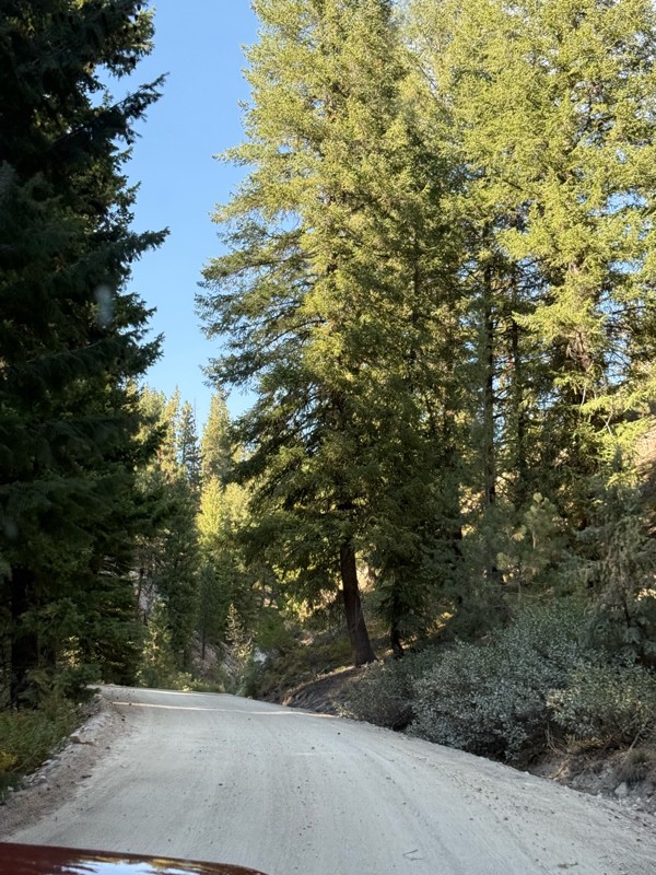
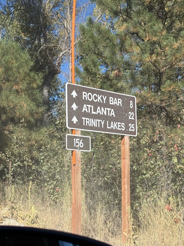
Easy trail that connects you to other great locations. Any vehicle could do this one.
PS
Paul Smith
Rated 4/5
Open
Visited: 09/01/2026
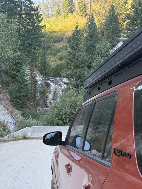
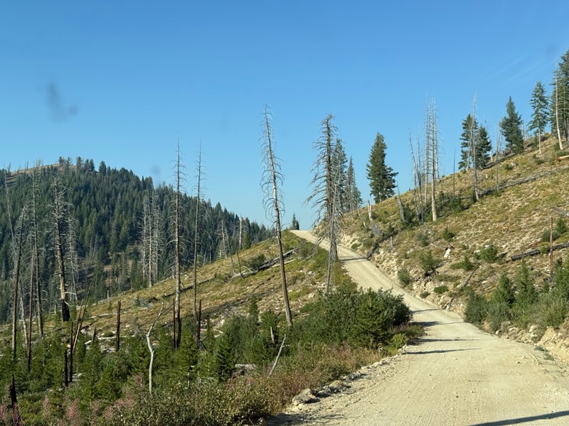
Pretty easy trail although there are some narrow spots along the way. Gets a bit bumpy and rocky as you head toward Atlanta but nothing difficult.
PS
Paul Smith
No Rating
Open
Visited: 09/01/2026
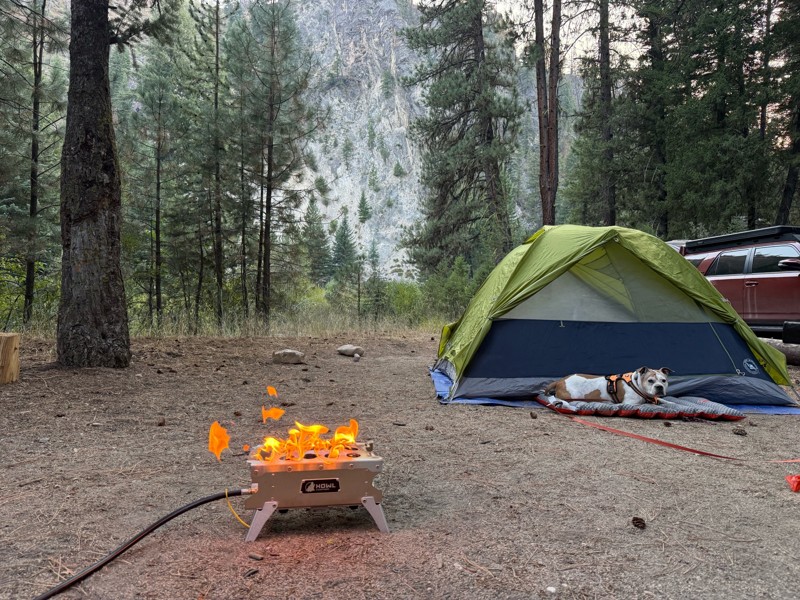
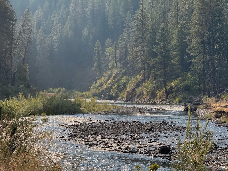
Beautiful and easy road. The smoke was wildfires was pretty bad but that can change. Any stock vehicle could do this at the moment. Campsites were all nearly empty which was a bonus.
PS
Paul Smith
Rated 3/5
Open
Visited: 08/22/2026
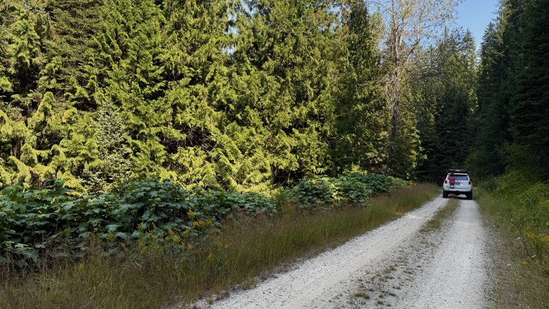
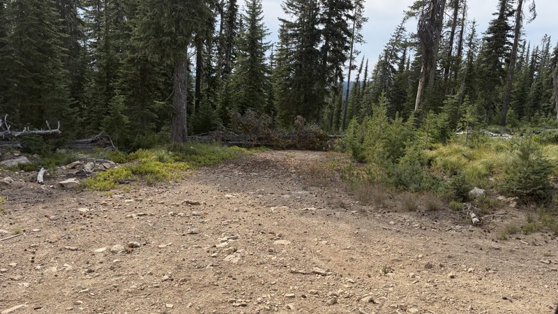
If it wasn't a very exciting trail, it still gets three stars because of how well-maintained it is. I can't even recall one single pothole the whole 4.5 miles. Otherwise, I was just using it as a conn...
Lorraine Bourget
Official Crew
Rated 3/5
Open
Visited: 08/22/2026
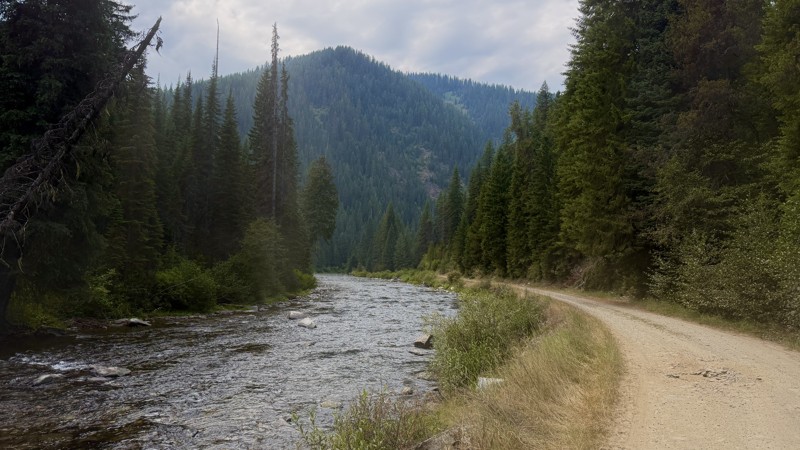
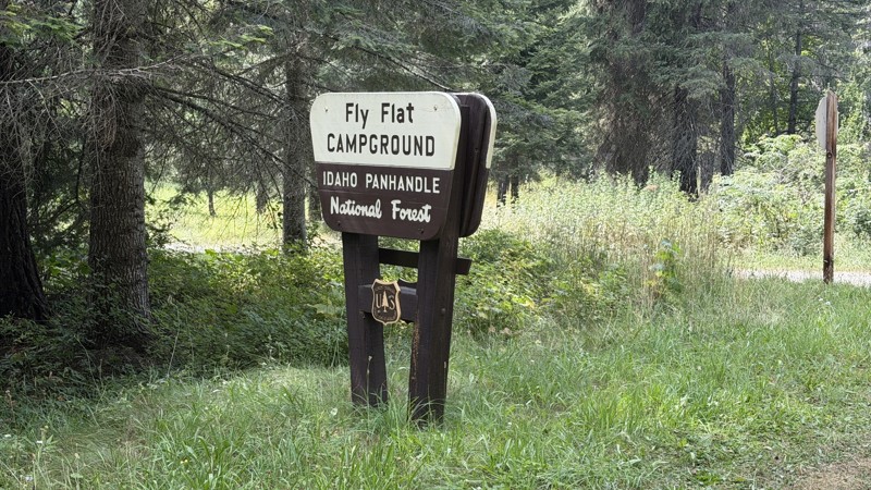
While it was a beautiful drive along the river, I'm rating this road 3 stars. Honestly, I planned my weekend around having the least amount of human contact possible but this section of my loop had ot...
Lorraine Bourget
Official Crew
Rated 5/5
Open
Visited: 08/22/2026
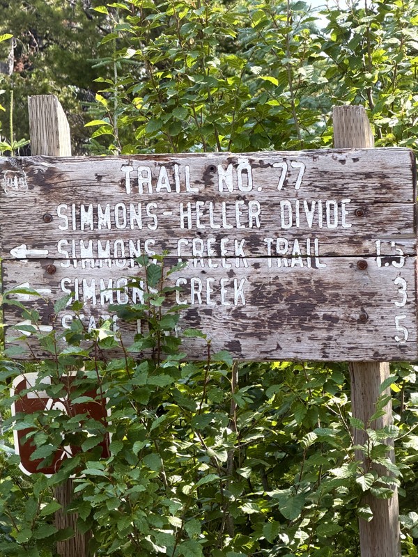
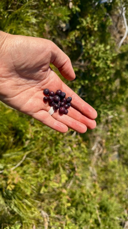
This trail holds a somewhat sentimental value to me. I randomly stumbled across it a couple of years ago when searching for somewhere to use my shower at the top of a mountain. Little did I know I wou...
Lorraine Bourget
Official Crew
Rated 4/5
Open
Visited: 08/21/2026
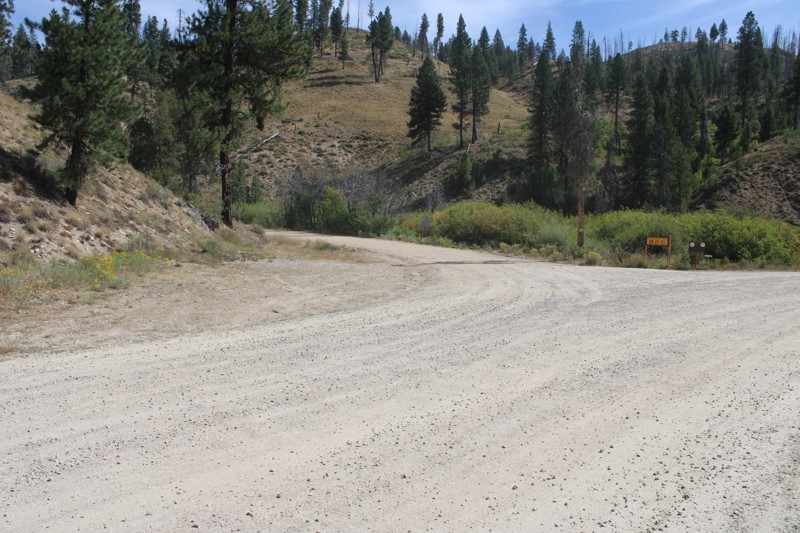
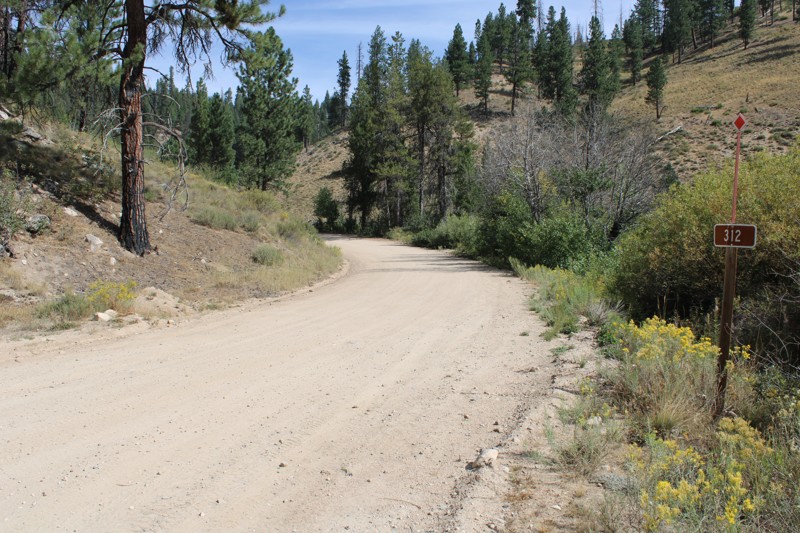
Pike's Fork Road is a spectacular drive into the heart of the Boise National Forest! One of the many dispersed campsites along its length makes an excellent destination for one night on a multi-night...

Bill Ward
Official Crew
Rated 5/5
Open
Visited: 08/16/2026
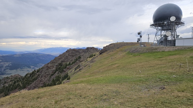
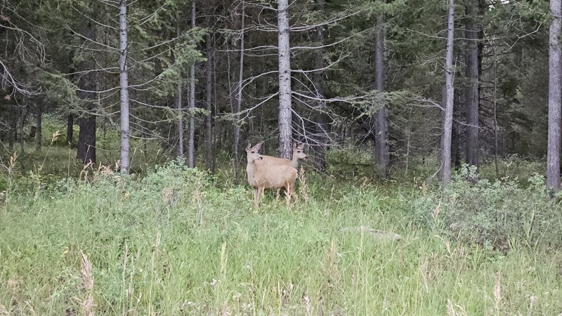
One person can give a group a bad name, especially in the side-by-side world, and that one was on the trail tonight like it was his private racetrack. Otherwise, a very peaceful and enjoyable drive. T...

Cory Wooldridge
Official Crew
Rated 5/5
Open
Visited: 08/11/2026
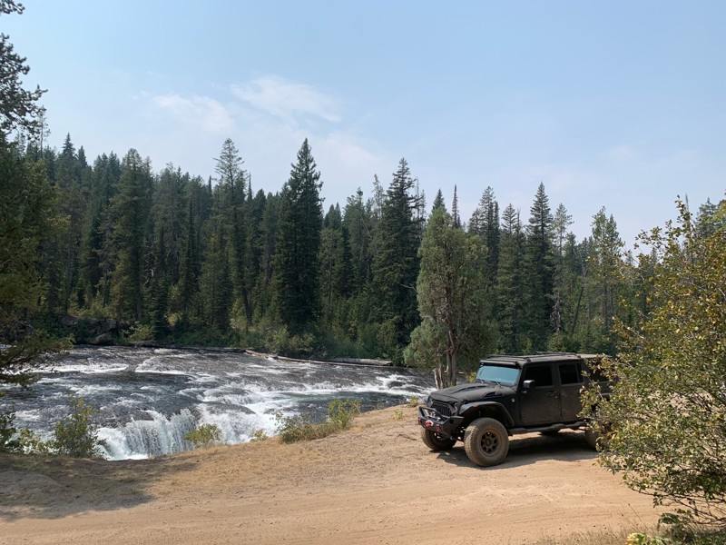
Great Jeep trail! Had fun running it and in pretty good shape. Dry and dusty with a few sections of rocks on decline/incline depending on what direction you’re going. No issues in my lifted Jeep. Not ...
JJ
Jill Jensen
No Rating
Open
Visited: 08/11/2026
Per the MVUM, the trail is seasonally open. As always, check current fire restrictions/closures before venturing out.

Trails Offroad
Official Crew
Open
Visited: 08/11/2026
Per the MVUM, the trail is seasonally open. As always, check current fire restrictions/closures before venturing out.
Trails Offroad
Official Crew
No Rating
Open
Visited: 08/11/2026
Per the MVUM, the trail is seasonally open. As always, check current fire restrictions/closures before venturing out.
Trails Offroad
Official Crew
No Rating
Open
Visited: 08/11/2026
Per the MVUM, the trail is seasonally open. As always, check current fire restrictions/closures before venturing out.
Trails Offroad
Official Crew
No Rating
Open
Visited: 08/11/2026
Per the MVUM, the trail is seasonally open. As always, check current fire restrictions/closures before venturing out.
Trails Offroad
Official Crew
No Rating
Open
Visited: 08/11/2026
Per the MVUM, the trail is seasonally open. As always, check current fire restrictions/closures before venturing out.

Todd
Official Crew
No Rating
Open
Visited: 08/11/2026
Per the MVUM, the trail is seasonally open. As always, check current fire restrictions/closures before venturing out.
Todd
Official Crew
No Rating
Open
Visited: 08/11/2026
Per the MVUM, the trail is seasonally open. As always, check current fire restrictions/closures before venturing out.
Todd
Official Crew
No Rating
Open
Visited: 08/11/2026
Per the MVUM, the trail is seasonally open. As always, check current fire restrictions/closures before venturing out.
Todd
Official Crew
No Rating
Open
Visited: 08/11/2026
Per the MVUM, the trail is seasonally open. As always, check current fire restrictions/closures before venturing out.
Todd
Official Crew
No Rating
Open
Visited: 08/11/2026
Per the MVUM, the trail is seasonally open. As always, check current fire restrictions/closures before venturing out.
Todd
Official Crew
No Rating
Open
Visited: 08/11/2026
Per the MVUM, the trail is seasonally open. As always, check current fire restrictions/closures before venturing out.
Todd
Official Crew
No Rating
Open
Visited: 08/11/2026
Per the MVUM, the trail is seasonally open. As always, check current fire restrictions/closures before venturing out.
Todd
Official Crew
No Rating
Open
Visited: 08/11/2026
Per the MVUM, the trail is seasonally open. As always, check current fire restrictions/closures before venturing out.
Todd
Official Crew
No Rating
Open
Visited: 08/11/2026
Per the MVUM, the trail is seasonally open. As always, check current fire restrictions/closures before venturing out.
Trails Offroad
Official Crew
No Rating
Open
Visited: 08/11/2026
Per the MVUM, the trail is seasonally open. As always, check current fire restrictions/closures before venturing out.
Trails Offroad
Official Crew
No Rating
Open
Visited: 08/11/2026
Per the MVUM, the trail is seasonally open. As always, check current fire restrictions/closures before venturing out.
Trails Offroad
Official Crew
No Rating
Open
Visited: 08/11/2026
Per the MVUM, the trail is seasonally open. As always, check current fire restrictions/closures before venturing out.
Trails Offroad
Official Crew
No Rating
Open
Visited: 08/11/2026
Per the MVUM, the trail is seasonally open. As always, check current fire restrictions/closures before venturing out.
Trails Offroad
Official Crew
No Rating
Open
Visited: 08/11/2026
Per the MVUM, the trail is seasonally open. As always, check current fire restrictions/closures before venturing out.
Trails Offroad
Official Crew
No Rating
Open
Visited: 08/11/2026
Per the MVUM, the trail is seasonally open. As always, check current fire restrictions/closures before venturing out.
Trails Offroad
Official Crew
No Rating
Open
Visited: 08/11/2026
Per the MVUM, the trail is seasonally open. As always, check current fire restrictions/closures before venturing out.
Trails Offroad
Official Crew
No Rating
Open
Visited: 08/11/2026
Per the MVUM, the trail is seasonally open. As always, check current fire restrictions/closures before venturing out.
Trails Offroad
Official Crew
No Rating
Open
Visited: 08/11/2026
Per the MVUM, the trail is seasonally open. As always, check current fire restrictions/closures before venturing out.
Trails Offroad
Official Crew
No Rating
Open
Visited: 08/11/2026
Per the MVUM, the trail is seasonally open. As always, check current fire restrictions/closures before venturing out.
Trails Offroad
Official Crew
No Rating
Open
Visited: 08/11/2026
Per the MVUM, the trail is seasonally open. As always, check current fire restrictions/closures before venturing out.
Trails Offroad
Official Crew
No Rating
Open
Visited: 08/11/2026
Per the MVUM, the trail is seasonally open. As always, check current fire restrictions/closures before venturing out.
Trails Offroad
Official Crew
No Rating
Open
Visited: 08/11/2026
Per the MVUM, the trail is seasonally open. As always, check current fire restrictions/closures before venturing out.
Trails Offroad
Official Crew
No Rating
Open
Visited: 08/11/2026
Per the MVUM, the trail is seasonally open. As always, check current fire restrictions/closures before venturing out.
Trails Offroad
Official Crew
No Rating
Open
Visited: 08/11/2026
Per the MVUM, the trail is seasonally open. As always, check current fire restrictions/closures before venturing out.
Trails Offroad
Official Crew
No Rating
Open
Visited: 08/11/2026
Per the MVUM, the trail is seasonally open. As always, check current fire restrictions/closures before venturing out.
Trails Offroad
Official Crew
No Rating
Open
Visited: 08/11/2026
Per the MVUM, the trail is seasonally open. As always, check current fire restrictions/closures before venturing out.
Trails Offroad
Official Crew
No Rating
Open
Visited: 08/11/2026
Per the MVUM, the trail is seasonally open. As always, check current fire restrictions/closures before venturing out.
Trails Offroad
Official Crew
No Rating
Open
Visited: 08/11/2026
Per the MVUM, the trail is seasonally open. As always, check current fire restrictions/closures before venturing out.
Trails Offroad
Official Crew
No Rating
Open
Visited: 08/11/2026
Per the MVUM, the trail is seasonally open. As always, check current fire restrictions/closures before venturing out.
Trails Offroad
Official Crew
No Rating
Open
Visited: 08/11/2026
Per the MVUM, the trail is seasonally open. As always, check current fire restrictions/closures before venturing out.
Trails Offroad
Official Crew
No Rating
Open
Visited: 08/11/2026
Per the MVUM, the trail is seasonally open. As always, check current fire restrictions/closures before venturing out.
Trails Offroad
Official Crew
Most Popular

Updated: 10/15/2024
Robie Creek Road
Robie Creek, Idaho
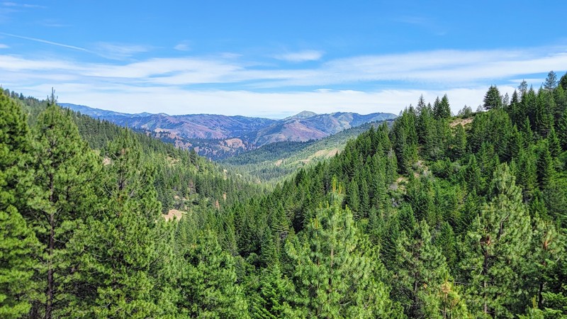
Robie Creek is a nice drive through the Boise National Forest. The thick trees that line the road open up for some amazing views of the Sawtooth Mountains. Camping is scarce on this trail, but there are a few dispersed camping spots.
This is a dirt road that does not require 4WD. Any high-clearance vehicle can easily drive on it. The southern section of the trail is a popular recreation site for boating, paddleboarding, and kayaking.
Updated: 10/15/2024
Davis Lake
Rea, Idaho
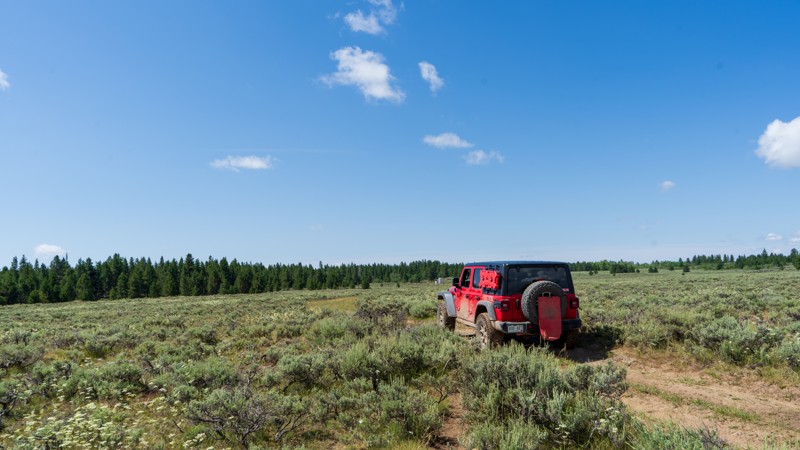
Despite its name, Davis Lake doesn't take you to a fantastic lake but many small ponds and wells that are used by cattle ranchers in the area. The draw for this trail is the extensive views of the Henry's Fork caldera system of the Yellowstone Volcano. The eruption that caused this relatively flat area happened around 1.3 million years ago. As you drive across the flats, you randomly encounter rocky patches where the lava rock pops through the dirt. This makes for a few small obstacles as well, requiring high clearance and possibly 4WD. Camping is sparse as long as you don't mind bovine company. You are better suited to finding camping closer to Highway 20.
Updated: 09/09/2026
James Creek Road
Rocky Bar, Idaho
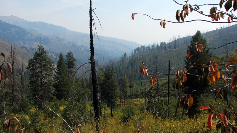
Although it starts at Rocky Bar, James Creek Road is a main access route between Featherville and Atlanta. It is a marginally maintained gravel and rock road suitable for any vehicle with moderate ground clearance. Although parts of the road go through timber tunnels with restricted scenic views, much of the road is above the timber, and the views are spectacular! The extensive views would be even better without the smoke from fire season, but they are still outstanding. There are no campgrounds along James Creek Road, but there are several opportunities for dispersed camping.
Featheville, Rocky Bar, and Atlanta are all historic mining areas. Near Rocky Bar, there are still active mining claims. Near James Creek Summit is a commemorative sign celebrating the brave freighters and mule skinners supplying central Idaho mining towns. There is also a monument to the bravery and spirit of Peg Leg Annie and Dutch Em, who got lost in a blizzard in May 1896 while walking from Atlanta to Rocky Bar.
In the winter, James Creek Road is part of the main groomed snowmobile route from Featherville to Atlanta. Summer or winter, starting from either town, is an excellent round-trip day ride to have lunch at the other end of the road.
Updated: 10/15/2024
Hawgood Crossing Road
Plano, Idaho
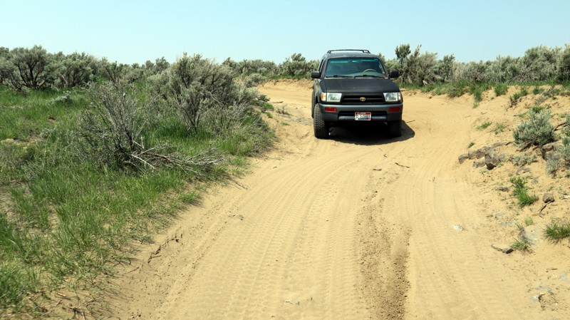
Hawgood Crossing Road is a thoroughfare through the middle of a popular offroad recreational area west of Rexburg, Idaho. It is a dirt road easily traveled by any high-clearance vehicle, providing desert landscapes and access to Bureau of Land Management areas. The trail starts at the west end of 5000 North and ends at Redwood Road near the Montana Subdivision Railroad. While camping is allowed within Bureau of Land Management areas, no established camping spots are along this trail. Plenty of other crossroads allow for a lot of exploration of this area, most of which is under the control of the Bureau of Land Management.
Updated: 06/05/2022
Sagehen Spur 626U
Horseshoe Bend, Idaho
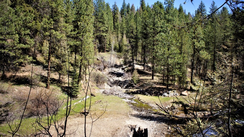
This trail is in the Boise National Forest, two hours north of Boise, Idaho. Sagehen Dam and Reservoir is just 1.3 miles to the east. The reservoir has four improved campgrounds, some are first come first served, others require a reservation. The lake is well known for its rainbow trout, so bring a fishing pole. The trail and entire area are in Idaho's hunting unit 32A where you will be sharing your space with deer, elk, black bear, mountain lions, and wolves, to name a few. This trail is one of many spurs along the main Sagehen Road and is best described as a dispersed camping paradise nestled among the pines, fir, and spruce. Shrubs and grasses dotted with wildflowers fill in the non-forested areas.
Updated: 10/15/2024
Green Canyon Road
Rea, Idaho
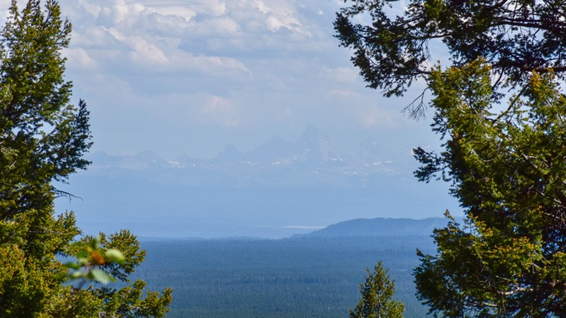
Green Canyon Road, also known as State Highway 167, takes you on a journey along the Henrys Fork Caldera rim shaped by a cataclysmic volcanic eruption approximately 640,000 years ago. As you drive, occasional views extend as far as the snowy Grand Tetons in the distance, offering a glimpse of the transformed landscape amidst the lush forests. Could this have once been a more rugged terrain, with deep river canyons, mud pots, and geysers, before the eruption and the migration of the lava chamber beneath what is now Yellowstone National Park? Along the roadside are outcroppings of ancient basaltic lava flows, leaving boulder-like features scattered throughout the forest. This trail also offers access to other trails, inviting exploration along with hiking, fishing spots, and serene camping areas, providing an opportunity to connect with nature and immerse yourself in the region's rich history. The history of Green Canyon Road can be traced back to the early settlement of the area, where pioneers and explorers relied on trails and rudimentary roads to traverse the wilderness.
An article from USGS describing the 2.1 million years of volcanic history in the area can be found here. This is a great article that explains the volcanic history you'll see as you drive toward Yellowstone National Park from Ashton, Idaho.
There are no obvious campsites along this road, but off the intersecting trail 465 lies West End Campground, located on the edge of Island Park Reservoir. West End Campground is a dispersed camping area with a vault toilet and no other amenities. Day-use activities and rental accommodations are available at Harriman State Park near Highway 20 and Island Park.
Updated: 10/15/2024
Big Flat Road
Black Canyon, Idaho
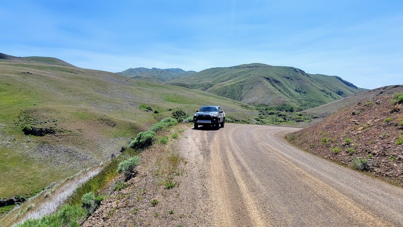
Big Flat Road is a well-maintained gravel road offering great views of the surrounding rolling hills and magnificent canyons. To the east, you can see The West Mountains. Alongside the road is Big Willow Creek, and several pullouts offer direct access to the water.
The wide road cuts through BLM land, and high clearance or 4WD is unnecessary; any vehicle can make it. There are a couple of small washboard sections and a few potholes, but they’re easy to avoid. You travel through an open range, so beware of livestock on the road.
Big Flat Road intersects Van Deusen Road just north of Emmett in the southwest and North Crane Road to the east, which will take you to Crane Creek Reservoir.
Updated: 10/15/2024
Grouse Creek Road
Paradise Hot Springs, Idaho
Grouse Creek Road, FS 166, starts as a wide two-lane gravel road with cabins on both sides. After a few hundred yards, the road enters the Boise National Forest and narrows but remains a nice gravel road. The last couple of miles are dirt, a bit rocky, but still accessible by pretty much any vehicle. FS 166 continues slightly beyond this track but becomes a narrow, rocky, two-track trail suitable only for true offroad vehicles and then becomes a snowmobile/ATV route. The primary hazard along the road is blind curves.
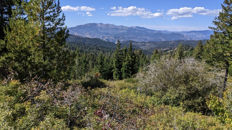
FS 166 starts by climbing and winding along the creek drainage. About halfway along the route, the road comes out on the top of a ridge it follows for several miles. The views are spectacular! Like most of this part of Idaho, areas have burned and have standing dead trees. The last couple of miles are rougher as the road winds off the ridge to another drainage. There are many side roads and trails, which should provide ample opportunity for further exploration.
Although there are no designated campsites, there are ample opportunities for dispersed camping, with site sizes ranging from one or two tents to several large RVs. It might be hard to find an open site during hunting season as the area is popular for hunting deer, elk, and bear.
Updated: 09/09/2026
Rocky Bar Road
Rocky Bar, Idaho
The saying “you can’t see the forest for the trees” could have been coined for Rocky Bar Road. Heading south out of the small cluster of buildings called Rocky Bar, the well-maintained gravel road winds down into a heavily wooded valley en route to Featherville. The trees are right alongside the winding road and virtually eliminate any scenic view from the road. That is NOT to say it isn’t an enjoyable road to travel! It’s well maintained, well surfaced, and is an easy drive through the bottom of a steep valley. There just isn’t much of a view.
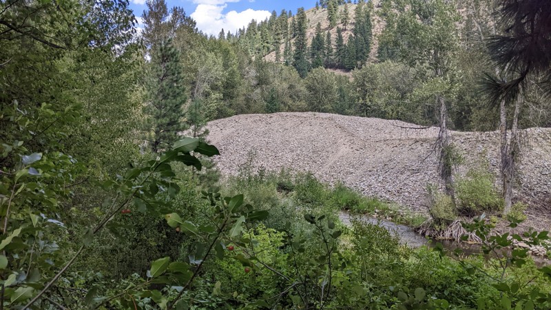
Rocky Bar Road is a connector road from Featherville to Rocky Bar. Featherville, Idaho, has a few services, including a country store, cafe, and bar. Rocky Bar has no services but has quite a few older buildings used as cabins, newer construction, and semi-active mining claims. North and west of Rocky Bar are an abundance of forest roads through the Boise National Forest and up to Trinity Ridge Road. Near Featherville are piles of rocks left over from dredge mining along the Feather River.
Rocky Bar is considered a ghost town, although there is current summer activity. The town was founded after gold was discovered in the Feather River in the early 1860s. Gold production declined in 1889, and in 1892, much of the town was destroyed by fire. There have been no permanent residents since the 1960s.
There is no camping to speak of along Rocky Bar Road, although there may be dispersed camping if you go up the side roads. Please be aware that much of the land in the area is privately owned and should not be used for camping or anything else without the owner’s permission.
Updated: 09/22/2025
Fall Creek Road
Reclamation Village, Idaho
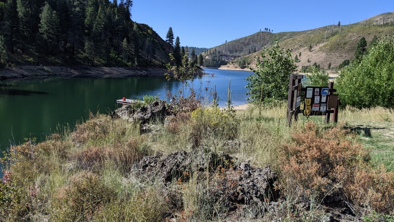
Fall Creek Road is, in many ways, two separate roads. The first section, FS120, starts at the Anderson Ranch Reservoir Dam and follows along the side of the reservoir to the Fall Creek Recreation Area. The second section, FS123, follows Fall Creek to Ice Springs Campground and is bordered mainly by private land with many cabins. Fall Creek Road is primarily an access road to the recreation areas along the reservoir and the cabin area. Fall Creek is relatively small and scenic. It is a pretty drive.
The road is generally a narrow two-lane along the reservoir with a well-maintained gravel surface. Maintenance is limited in the winter. Numerous pullouts assist with passing larger vehicles. The hazards along this stretch are twofold. The gravel often feels slippery, and the road is twisty, with many blind curves. The Hardest Part photo does not show the road surface but, instead, how the road winds along the edge of the reservoir, which is the hardest part of driving this road.
There are campgrounds along the reservoir and in the Fall Creek Recreation Area. At the north end of Fall Creek Road is Ice Springs Campground. It is a fee campground maintained by the Boise National Forest and is quite popular and often full.
Updated: 10/15/2024
Kane Creek
Sun Valley, Idaho
Kane Creek Road offers a scenic in-and-out trail that showcases stunning views of Kane Summit. The drive is generally straightforward, though the last 2 miles can be challenging due to winter washouts and gullies. A high-clearance vehicle is advisable for this part. In the first 2 miles, you'll find shaded spots by the road or near the creek where you can park an RV for dispersed camping.
Updated: 06/05/2022
Fletcher Butte
Banks, Idaho
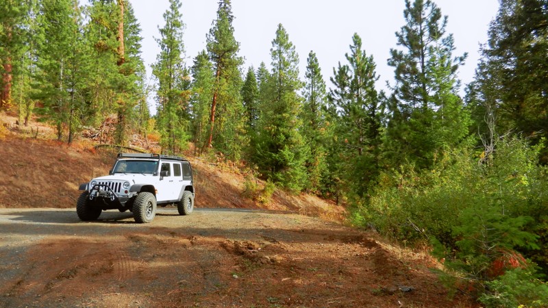
Fletcher Butte is in the Boise National Forest, less than 2 hours from downtown Boise. Its location makes for an ideal spot for you, your family, and friends to take off for an enjoyable day trip or take advantage of the many dispersed campsites you'll find along this trail, especially on the short Gravel Pit Spur near trails end. You'll parallel Shirts Creek (not the other creek) for most of the trail, which adds to the opportunity to spot the abundant wildlife that Idaho offers. When away from your vehicle, be aware of the wildlife nearby, especially with children and pets.
Updated: 10/15/2024
Antelope Ridge Road
Triangle, Idaho
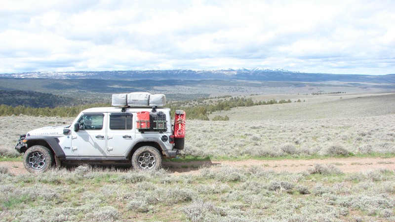
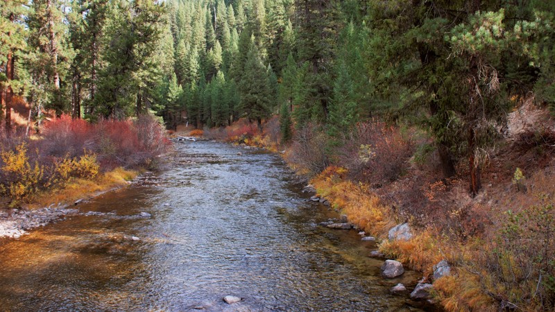
Antelope Ridge Road follows its namesake ridge from the Bachman Grade Road to Mud Flat Road, part of the Owyhee Back Country Byway. Most of the road is at about 6000 feet elevation, so it is ordinarily impassable from late fall to late spring. The northern part of the road is rough and rocky with significant washouts, suitable for 4WD vehicles with good clearance and stout tires. After about ten miles, or about five miles from Mud Flat Road, it becomes a well-maintained gravel road suitable for most vehicles.
Antelope Ridge Road's elevation provides forever views ending at distant mountain chains.
Dispersed camping is allowed along the road except in a small private property section, including a charming little homestead. The gates on both sides of the private land were open, and there were no signs asking people to stay out.
Owyhee County in Southwest Idaho has over 5,000 square miles of desert, canyons, and mountains. There are no services in the entire area, and cell coverage is spotty. Being adequately prepared for almost any contingency is a must.
Updated: 06/05/2022
Six Mile
Garden Valley, Idaho
670 Six Mile Trail is in the beautiful and diverse Boise National Forest. You'll have to decide if it's the surrounding forest of pines, firs, cedar, or quaking aspens, and maple trees that draws you to this trail. Or possibly one of the several established campsites throughout the trail. The two campsites at the trailhead and waters edge will be your favorite choices.
The trail parallels the Middle Fork of the Payette River for a couple of miles before the trail turns westward on its climb up the mountain. You enjoyed viewing this trail as you drove to this trailhead while on the Middle Fork Payette Trail. Whatever your reasons, you will come away from this trail with lasting memories of having a good time.
Updated: 08/11/2026
West Fork Pahsimeroi
Dickey, Idaho
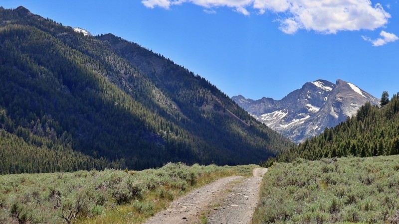
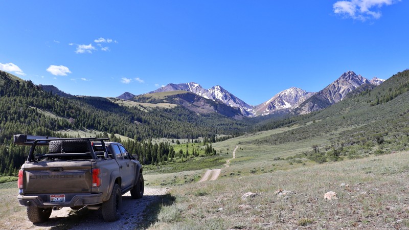
The West Fork Pahsimeroi Road leads deep into the heart of Idaho’s wild Upper Pahsimeroi Valley. Known for its dramatic remoteness and alpine grandeur, this trail winds beneath the towering summits of the Lost River Range, offering views of Idaho’s highest peaks, including Mount Borah and Leatherman Peak.
Accessed via the Upper Pahsimeroi Road, this spur quickly turns primitive, with rough conditions that require a high-clearance vehicle and, in many spots, 4-wheel drive. Expect washouts, exposed rock shelves, and narrow ledges as you climb toward the trailhead.
Despite the moderate challenges, the payoff is immense. The road serves as a gateway to some of the region’s premier hiking and climbing destinations, including the Mahogany Creek drainage and the rugged approaches to Leatherman Peak. At the road’s end, the West Fork Upper Pahsimeroi Trailhead provides access to stunning alpine routes like the Merriam and Pass Lake Trails.
Here, you'll also find primitive campsites complete with picnic tables and established fire rings, ideal for basecamping in a place that feels worlds away. For those seeking high adventure, solitude, and front-row views of Idaho’s tallest mountains, the West Fork Pahsimeroi delivers in full.
Updated: 10/15/2024
Warren Wagon Road
Warren, Idaho
The Warren Wagon Road is primarily a connector road between McCall and Warren, Idaho. It is the third section of a four-section route from Yellow Pine to the Salmon River near Riggins. The section highlighted is a well-maintained, two-lane gravel road that is easy to drive in any vehicle. The rest of the road, down to McCall, is paved. Along the Warren Wagon Road, there is one campground and some opportunities to disperse camp.
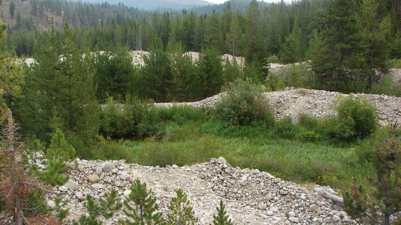
Just outside of Warren, there is nearly a mile of dredge tailings from the mining days in the area. Of particular note are the tops of some of the tailings piles, where you can see the curved mounds created by the dredge out-feed conveyor as it swung back and forth. The dredge then moved forward and made another curved mound.
Be sure to stop in Secesh Meadows, where there is a little resort with ice cream!
Updated: 10/18/2022
North Fork Ridge
Banks, Idaho
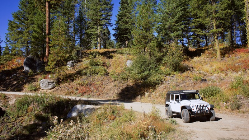
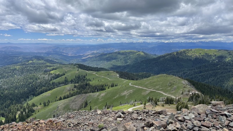
As the name North Fork Ridge implies, this trail follows a north/south ridge separating the Payette River Canyon to the east and High Valley to the west. The trail favors the east side of the ridge, offering you gorgeous views through the pines and cedars into the canyon and river below. There is a dispersed campsite along this trail to stop for a picnic or spend the night. This ridgeline favors wildlife, where you can observe every big game that Idaho offers. You can see bear, mountain lion, deer, and elk. Your best results would be at dawn and dusk. The highlight here is to enjoy the natural beauty this forest and trail have to offer.
Updated: 10/15/2024
Smith Mountain Lookout
Landore, Idaho
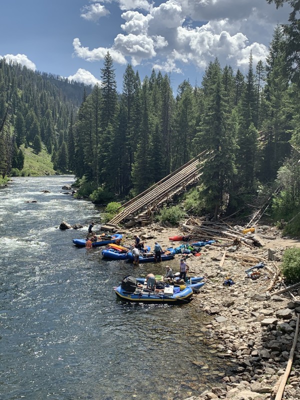
Smith Mountain Lookout is a short out-and-back trail. The road is mostly a rocky shelf road with switchbacks. One major rut can cause problems for less-built vehicles. If positioned correctly, there’s room up top for 3-4 vehicles. There isn’t much room to turn around, so if you aren’t comfortable turning around on a cliff, it might be best to hike up.
Smith Mountain Lookout sits at an elevation of 8,009 feet and became a lookout in 1908; the existing building was constructed in 1963 and was registered on the National Historic Lookout Register on September 29, 2020, US 1438, ID 130 nhlr.org
Updated: 10/15/2024
Boundary Creek Boat Launch
Landmark, Idaho
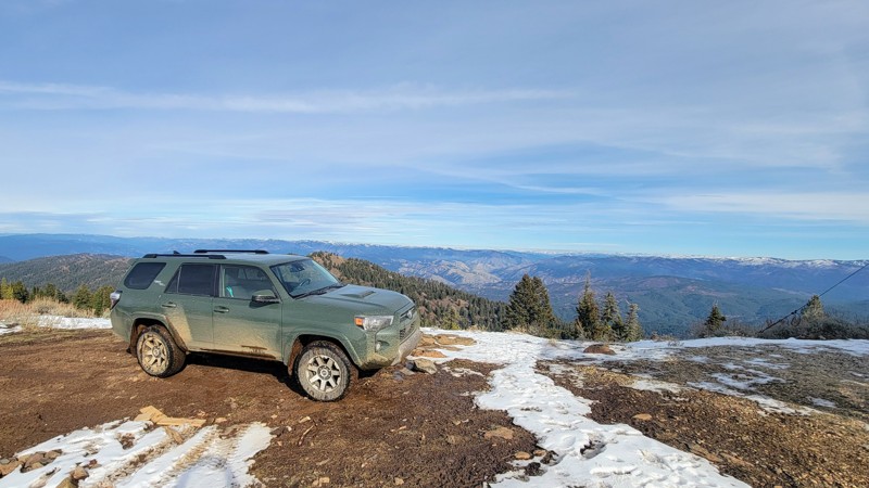
Boundary Creek Boat Ramp is a worthy short offshoot from Dagger Falls Road. The boat ramp is one of the premier staging areas for seven-day whitewater rafting trips through the Frank Church River of No Return Wilderness Area. Watch rafts are launched down a 100-foot slide into the river, sometimes with a person manning the oars, ready to hit the water and start rowing.
There is a Forest Service campground above this boat launch with primitive camping.
Updated: 04/10/2026
Harris Creek Summit
Robie Creek, Idaho
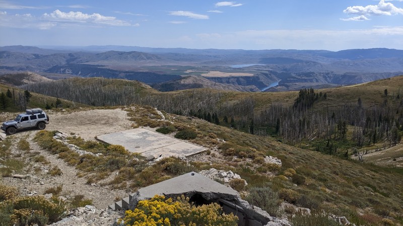
Harris Creek Summit is an incredible drive through the Boise National Forest that runs from Bogus Basin Ski Resort in the south up through the wilderness of the Boise Mountains in the north on Forest Road 297. Make sure to take the short turnoff towards the north end of the trail up to Hawley Mountain Lookout, the panoramic views of the Sawtooth Mountains and other ranges are not to be missed!
There are no developed campgrounds on this trail, but there are plenty of dispersed camping areas, as well as a campground near Bogus Basin.
Most of this trail is easy on this wide double-lane road, but at the north end, there are a couple of steep rocky sections. But under dry conditions, any high-clearance vehicle can make it, but 4-wheel drive is nice to have. The trail ends in the north, where a fallen tree blocks the road.
Updated: 12/08/2025
House Mountain Road
Prairie, Idaho
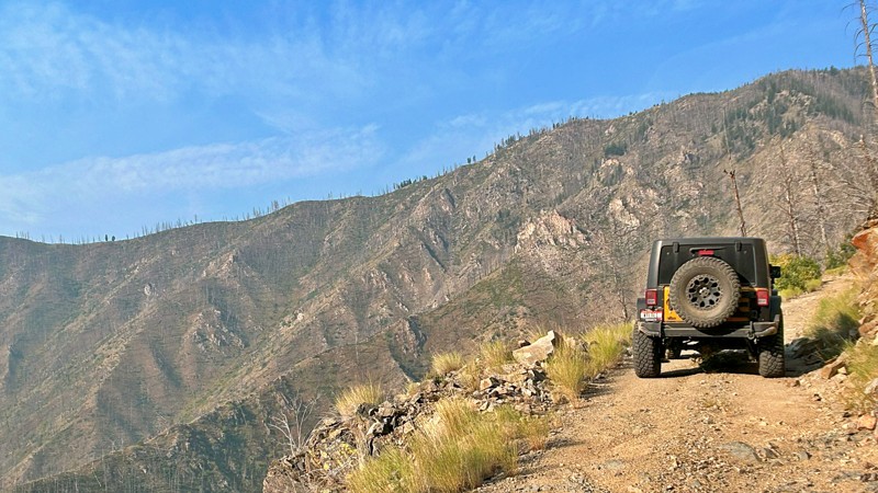
House Mountain, southeast of Prairie, Idaho, had a lookout from 1931 until 1990. No buildings are left, but the foundations of the lookout, the house supporting the lookout staff, and even the pit toilet remain. The very top of House Mountain is a concrete slab with incredible views! The Boise River Canyon, Anderson Ranch Reservoir, and Trinity Mountains are all on full display. House Mountain Road, FS 137, tuns south off Meadow Creek Road to this inspiring summit.
House Mountain Road's early section is wide and easy to drive. The primary concerns are small to medium washouts, downed timber, and oncoming traffic around blind corners. Most vehicles can drive the lower section of the road, but on the climb to House Mountain, the road gets narrow, steep, and rocky. The rocks are loose and pointy, so good ground clearance, good tires, and 4WD is the order of the day. The climb is a fun stretch, and the view from the top makes it all worthwhile!
Dispersed camping is available along the lower section of the road. Camping at the mountain summit would be possible, but wind might be an issue. FS 137C leads to a lovely little valley where elk hunters often camp.
Updated: 10/15/2024
Grouse Creek
Custer, Idaho
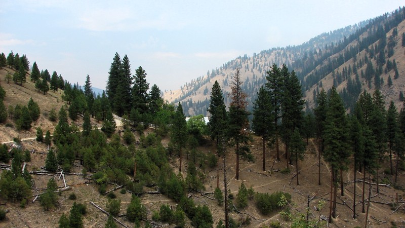
Grouse Creek Road is a remote dirt road that provides access to the Frank Church River of No Return Wilderness. The Frank Church River of No Return Wilderness is one of the largest wilderness areas in the contiguous United States, covering over 2.3 million acres of rugged and pristine landscapes in central Idaho. At the end of the road, there are two primitive campsites at Indian Springs Campground, which consists of picnic tables, fire rings, and a vault toilet.
Grouse Creek Road serves as a gateway for outdoor enthusiasts, hikers, hunters, and campers to access the wilderness area. It's important to note that the road is typically rough and may not be suitable for all vehicles. Trailers are not recommended on this road. Travelers should be well-prepared for remote conditions, as the area's services and facilities are limited.
Before embarking on a trip to Grouse Creek Road and the Frank Church River of No Return Wilderness, it's essential to check the latest information, road conditions, and any necessary permits or regulations. It's recommended to contact local ranger stations or relevant authorities for the most up-to-date information.
Updated: 10/15/2024
Elk Creek Road
Edwardsburg, Idaho
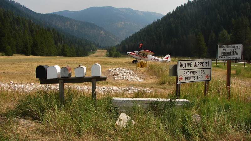
FS 340 runs from Edwardsburg to Warren and is the second section of a four-road route from Yellow Pine to the Salmon River at Riggins. The road is generally easy to drive, but due to rocks poking above the road surface, moderate ground clearance is needed. Four-wheel drive is unnecessary, but it might be helpful on the occasional steeper sections with loose rock. The road is one lane, mostly gravel, with some turnouts. The major hazards are blind curves, a narrow roadbed, and some rocks.
There are ample places to dry camp and a campground at the South Fork of the Salmon River. There are large stretches where the views are incredible—or would be if there is no smoke in the air. Smoke is a common occurrence during the fire season from July to September. There are also many small, picturesque streams along the road and, for a short section, the South Fork of the Salmon River.
The forest road number changes from FS 340 to FS 337 at Warren Summit and then back to 340, so it is essentially one road with two numbers assigned to it.
Updated: 06/25/2025
Big Creek Road
Yellow Pine, Idaho
Big Creek Road goes from near Yellow Pine to Edwardsburg. It is the first road of a four-road route from Yellow Pine to the Salmon River near Riggins. Big Creek Road is easy to drive and suitable for any vehicle with moderate ground clearance. The surface is maintained gravel, but many rocks extend above the road surface, making for an often rough ride. The main hazards are blind curves and a sometimes reasonably rough surface. The road follows picturesque babbling brooks for almost its entire length, and there are ample opportunities for big, expansive views. Unfortunately, the view is often obscured during the fire season with smoke from wildfires in the area.
Dispersed camping is allowed, but campfires are only allowed in designated campsites. One campground is near the Big Creek Airport just north of Big Creek Road, and another is just south of Yellow Pine on Johnson Creek Road.

Upgrade your Membership
Unlock all of the details on every Trail Guide and Scout Route.
Start a 7-day Free TrialBrowse Trails in Idaho by City
Browse every Idaho city with offroad trail guides.
Community
Partners

