



By clicking "ACCEPT", you agree to be the terms and conditions of each policy linked to above. You also agree to the storing of cookies on your device to facilitate the operation and functionality of our site, enhance and customize your user experience, and to analyze how our site is used.
Idaho Off-Road Trails
63
Total Trail Guides 60

644
Detailed Waypoints 302
Try a Free 7-Day Trial and unlock it all
Start a Free Trial Most Recent Trail Reviews
No Rating
Open
Visited: 09/19/2026
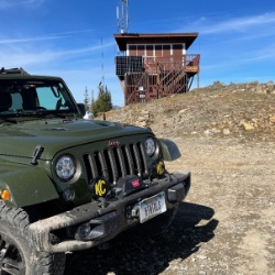
Fun drive, lots of dirt bikes and a few BDR Moto riders. Drove it in reverse direction.

Kim Richards
No Rating
Open
Visited: 09/19/2026
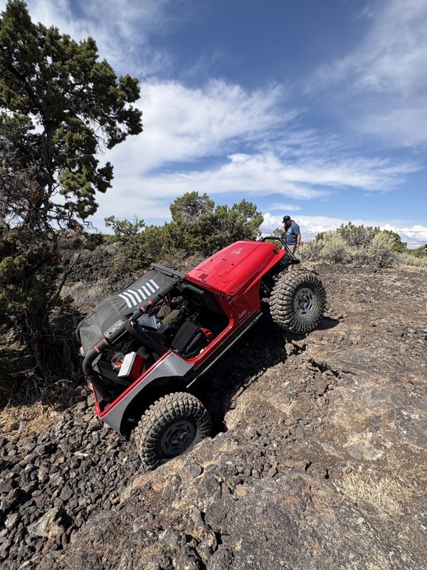
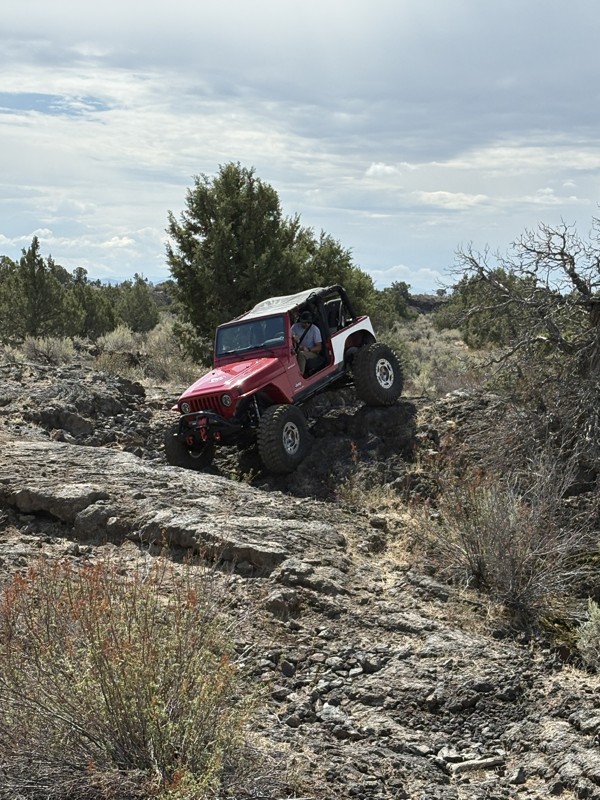
This trail was a great time. It is very unique, ive never been on a trail like it. the lava rock has plenty of traction and is pretty nasty on tires. But all in all I would recommend it to be done at ...
JP
Jared Pyne
Rated 3/5
Open
Visited: 09/15/2026
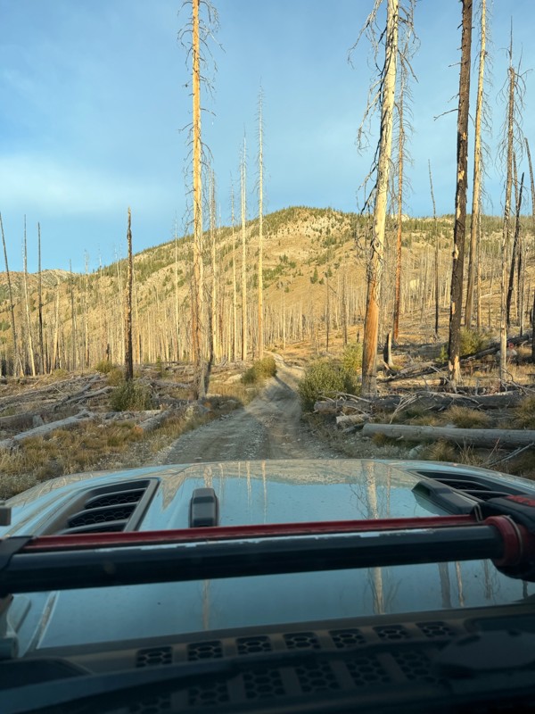
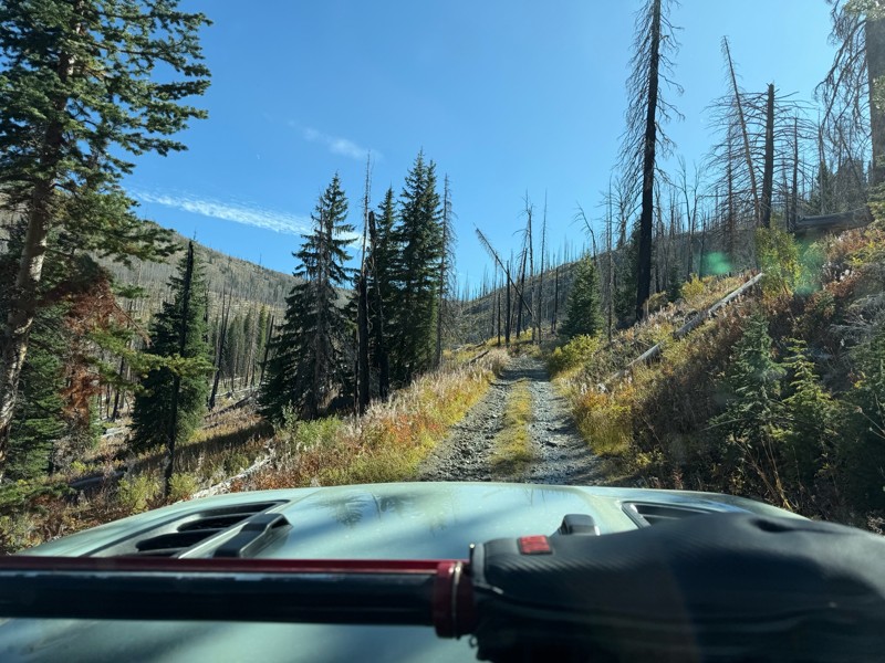
Trail consists of mostly narrow 2-track. Softball to soccer ball sized rocks. Slow going. Most of this forestland experienced fire in the past few years and is still recovering. Pulled a 9’ off-road t...
JH
Jason Holmes
No Rating
Open
Visited: 09/05/2026
Been going here for 57 years and the road keeps getting easier and easier. Sedans can make it.
BC
Bruce Chadwick
Rated 4/5
Open
Visited: 09/01/2026
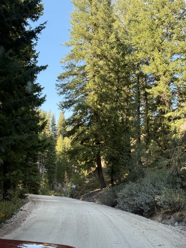
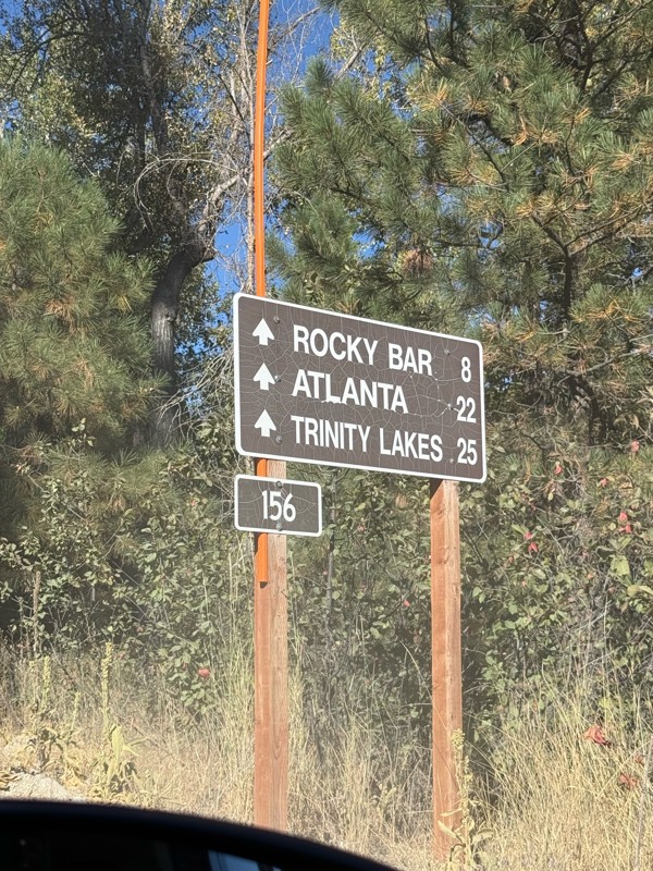
Easy trail that connects you to other great locations. Any vehicle could do this one.
PS
Paul Smith
Rated 4/5
Open
Visited: 09/01/2026
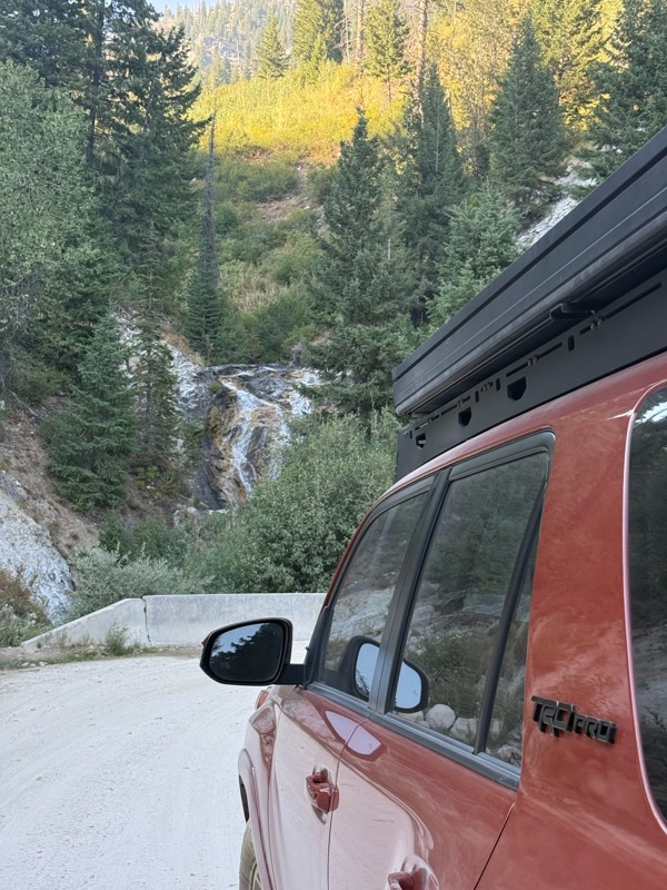
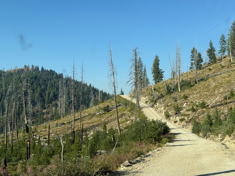
Pretty easy trail although there are some narrow spots along the way. Gets a bit bumpy and rocky as you head toward Atlanta but nothing difficult.
PS
Paul Smith
No Rating
Open
Visited: 09/01/2026
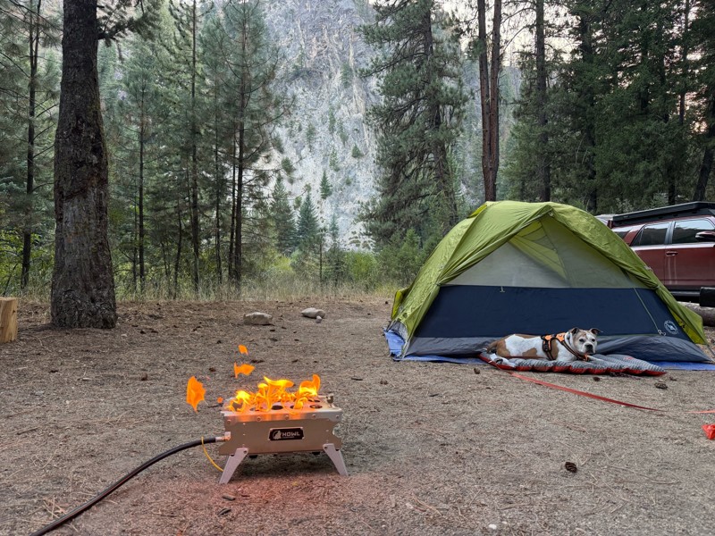
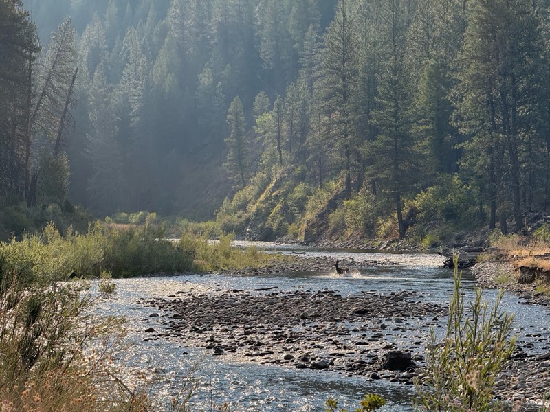
Beautiful and easy road. The smoke was wildfires was pretty bad but that can change. Any stock vehicle could do this at the moment. Campsites were all nearly empty which was a bonus.
PS
Paul Smith
Rated 3/5
Open
Visited: 08/22/2026
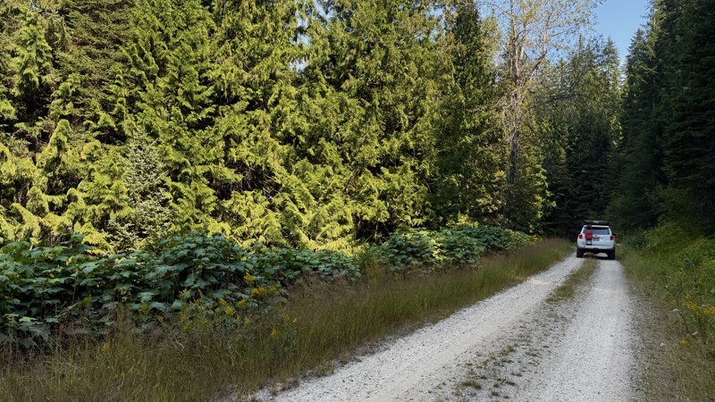
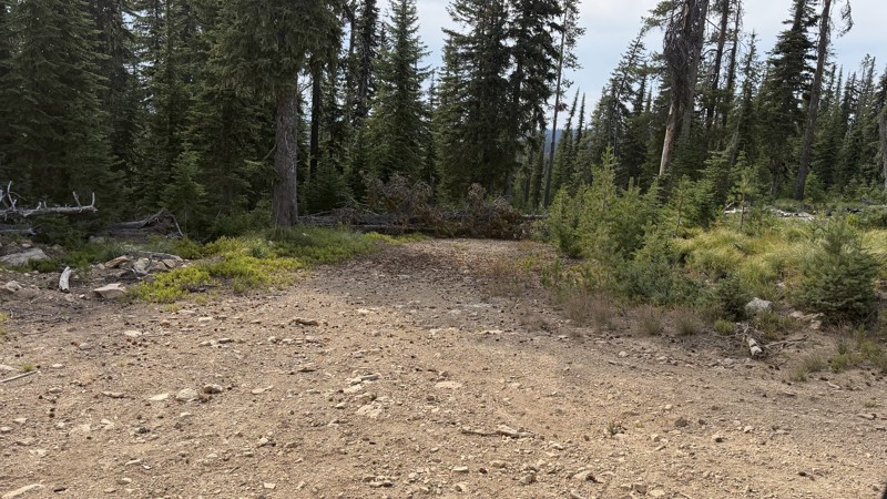
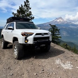
If it wasn't a very exciting trail, it still gets three stars because of how well-maintained it is. I can't even recall one single pothole the whole 4.5 miles. Otherwise, I was just using it as a conn...
Lorraine Bourget
Official Crew
Rated 3/5
Open
Visited: 08/22/2026
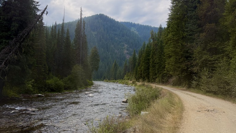
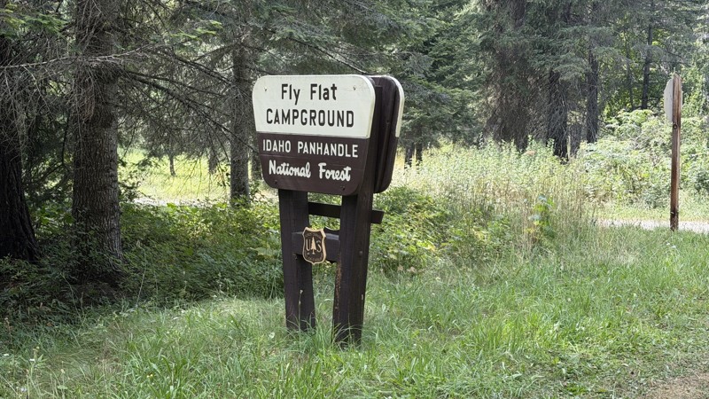
While it was a beautiful drive along the river, I'm rating this road 3 stars. Honestly, I planned my weekend around having the least amount of human contact possible but this section of my loop had ot...
Lorraine Bourget
Official Crew
Rated 5/5
Open
Visited: 08/22/2026
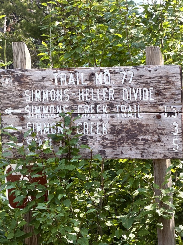
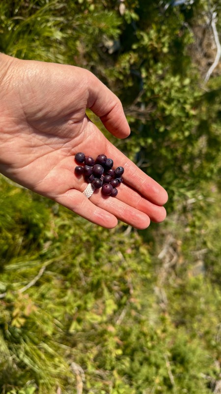
This trail holds a somewhat sentimental value to me. I randomly stumbled across it a couple of years ago when searching for somewhere to use my shower at the top of a mountain. Little did I know I wou...
Lorraine Bourget
Official Crew
Rated 4/5
Open
Visited: 08/21/2026
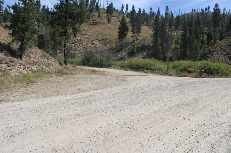
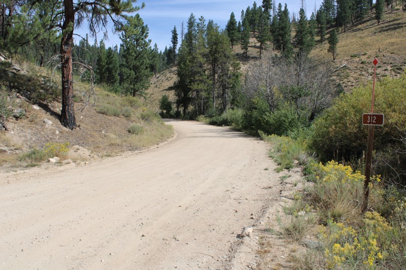
Pike's Fork Road is a spectacular drive into the heart of the Boise National Forest! One of the many dispersed campsites along its length makes an excellent destination for one night on a multi-night...

Bill Ward
Official Crew
Rated 5/5
Open
Visited: 08/16/2026
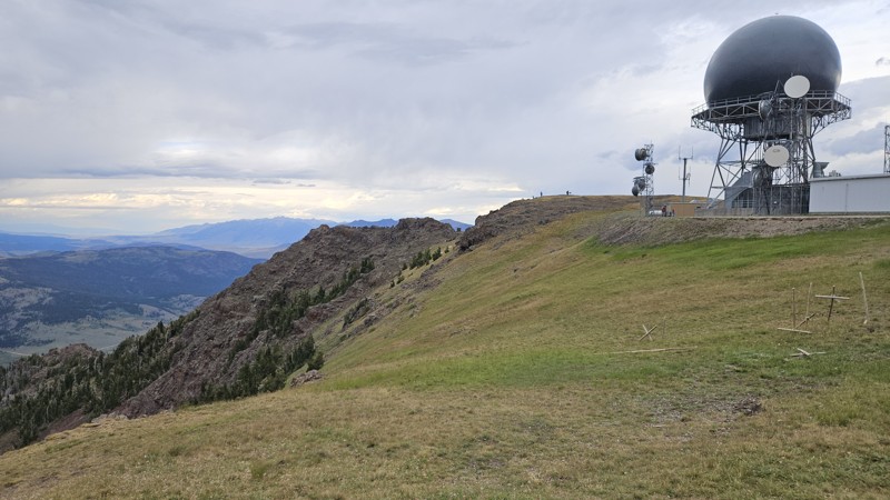
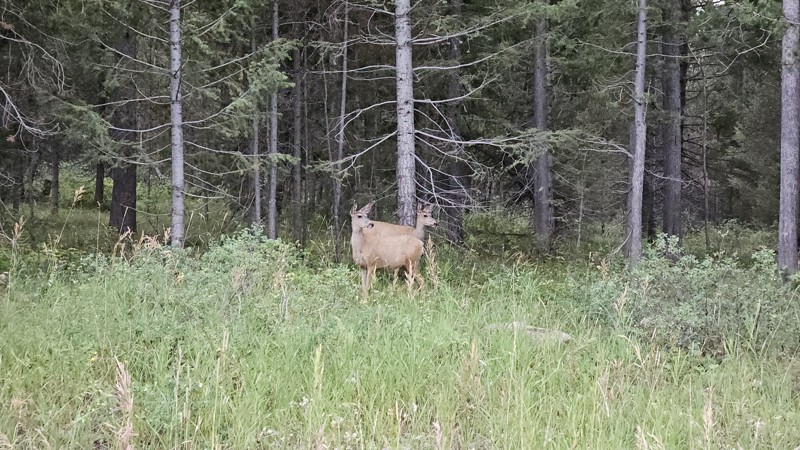
One person can give a group a bad name, especially in the side-by-side world, and that one was on the trail tonight like it was his private racetrack. Otherwise, a very peaceful and enjoyable drive. T...

Cory Wooldridge
Official Crew
Rated 5/5
Open
Visited: 08/11/2026
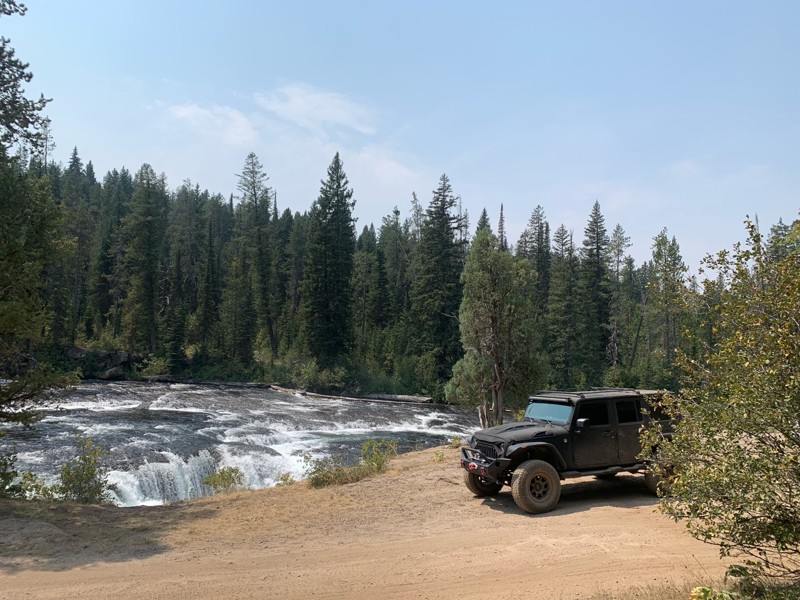
Great Jeep trail! Had fun running it and in pretty good shape. Dry and dusty with a few sections of rocks on decline/incline depending on what direction you’re going. No issues in my lifted Jeep. Not ...
JJ
Jill Jensen
No Rating
Open
Visited: 08/11/2026
Per the MVUM, the trail is seasonally open. As always, check current fire restrictions/closures before venturing out.

Trails Offroad
Official Crew
Open
Visited: 08/11/2026
Per the MVUM, the trail is seasonally open. As always, check current fire restrictions/closures before venturing out.
Trails Offroad
Official Crew
No Rating
Open
Visited: 08/11/2026
Per the MVUM, the trail is seasonally open. As always, check current fire restrictions/closures before venturing out.
Trails Offroad
Official Crew
No Rating
Open
Visited: 08/11/2026
Per the MVUM, the trail is seasonally open. As always, check current fire restrictions/closures before venturing out.
Trails Offroad
Official Crew
No Rating
Open
Visited: 08/11/2026
Per the MVUM, the trail is seasonally open. As always, check current fire restrictions/closures before venturing out.
Trails Offroad
Official Crew
No Rating
Open
Visited: 08/11/2026
Per the MVUM, the trail is seasonally open. As always, check current fire restrictions/closures before venturing out.

Todd
Official Crew
No Rating
Open
Visited: 08/11/2026
Per the MVUM, the trail is seasonally open. As always, check current fire restrictions/closures before venturing out.
Todd
Official Crew
No Rating
Open
Visited: 08/11/2026
Per the MVUM, the trail is seasonally open. As always, check current fire restrictions/closures before venturing out.
Todd
Official Crew
No Rating
Open
Visited: 08/11/2026
Per the MVUM, the trail is seasonally open. As always, check current fire restrictions/closures before venturing out.
Todd
Official Crew
No Rating
Open
Visited: 08/11/2026
Per the MVUM, the trail is seasonally open. As always, check current fire restrictions/closures before venturing out.
Todd
Official Crew
No Rating
Open
Visited: 08/11/2026
Per the MVUM, the trail is seasonally open. As always, check current fire restrictions/closures before venturing out.
Todd
Official Crew
No Rating
Open
Visited: 08/11/2026
Per the MVUM, the trail is seasonally open. As always, check current fire restrictions/closures before venturing out.
Todd
Official Crew
No Rating
Open
Visited: 08/11/2026
Per the MVUM, the trail is seasonally open. As always, check current fire restrictions/closures before venturing out.
Todd
Official Crew
No Rating
Open
Visited: 08/11/2026
Per the MVUM, the trail is seasonally open. As always, check current fire restrictions/closures before venturing out.
Todd
Official Crew
No Rating
Open
Visited: 08/11/2026
Per the MVUM, the trail is seasonally open. As always, check current fire restrictions/closures before venturing out.
Trails Offroad
Official Crew
No Rating
Open
Visited: 08/11/2026
Per the MVUM, the trail is seasonally open. As always, check current fire restrictions/closures before venturing out.
Trails Offroad
Official Crew
No Rating
Open
Visited: 08/11/2026
Per the MVUM, the trail is seasonally open. As always, check current fire restrictions/closures before venturing out.
Trails Offroad
Official Crew
No Rating
Open
Visited: 08/11/2026
Per the MVUM, the trail is seasonally open. As always, check current fire restrictions/closures before venturing out.
Trails Offroad
Official Crew
No Rating
Open
Visited: 08/11/2026
Per the MVUM, the trail is seasonally open. As always, check current fire restrictions/closures before venturing out.
Trails Offroad
Official Crew
No Rating
Open
Visited: 08/11/2026
Per the MVUM, the trail is seasonally open. As always, check current fire restrictions/closures before venturing out.
Trails Offroad
Official Crew
No Rating
Open
Visited: 08/11/2026
Per the MVUM, the trail is seasonally open. As always, check current fire restrictions/closures before venturing out.
Trails Offroad
Official Crew
No Rating
Open
Visited: 08/11/2026
Per the MVUM, the trail is seasonally open. As always, check current fire restrictions/closures before venturing out.
Trails Offroad
Official Crew
No Rating
Open
Visited: 08/11/2026
Per the MVUM, the trail is seasonally open. As always, check current fire restrictions/closures before venturing out.
Trails Offroad
Official Crew
No Rating
Open
Visited: 08/11/2026
Per the MVUM, the trail is seasonally open. As always, check current fire restrictions/closures before venturing out.
Trails Offroad
Official Crew
No Rating
Open
Visited: 08/11/2026
Per the MVUM, the trail is seasonally open. As always, check current fire restrictions/closures before venturing out.
Trails Offroad
Official Crew
No Rating
Open
Visited: 08/11/2026
Per the MVUM, the trail is seasonally open. As always, check current fire restrictions/closures before venturing out.
Trails Offroad
Official Crew
No Rating
Open
Visited: 08/11/2026
Per the MVUM, the trail is seasonally open. As always, check current fire restrictions/closures before venturing out.
Trails Offroad
Official Crew
No Rating
Open
Visited: 08/11/2026
Per the MVUM, the trail is seasonally open. As always, check current fire restrictions/closures before venturing out.
Trails Offroad
Official Crew
No Rating
Open
Visited: 08/11/2026
Per the MVUM, the trail is seasonally open. As always, check current fire restrictions/closures before venturing out.
Trails Offroad
Official Crew
No Rating
Open
Visited: 08/11/2026
Per the MVUM, the trail is seasonally open. As always, check current fire restrictions/closures before venturing out.
Trails Offroad
Official Crew
No Rating
Open
Visited: 08/11/2026
Per the MVUM, the trail is seasonally open. As always, check current fire restrictions/closures before venturing out.
Trails Offroad
Official Crew
No Rating
Open
Visited: 08/11/2026
Per the MVUM, the trail is seasonally open. As always, check current fire restrictions/closures before venturing out.
Trails Offroad
Official Crew
No Rating
Open
Visited: 08/11/2026
Per the MVUM, the trail is seasonally open. As always, check current fire restrictions/closures before venturing out.
Trails Offroad
Official Crew
No Rating
Open
Visited: 08/11/2026
Per the MVUM, the trail is seasonally open. As always, check current fire restrictions/closures before venturing out.
Trails Offroad
Official Crew
No Rating
Open
Visited: 08/11/2026
Per the MVUM, the trail is seasonally open. As always, check current fire restrictions/closures before venturing out.
Trails Offroad
Official Crew
No Rating
Open
Visited: 08/11/2026
Per the MVUM, the trail is seasonally open. As always, check current fire restrictions/closures before venturing out.
Trails Offroad
Official Crew
No Rating
Open
Visited: 08/11/2026
Per the MVUM, the trail is seasonally open. As always, check current fire restrictions/closures before venturing out.
Trails Offroad
Official Crew
Most Popular

Updated: 10/15/2024
Silver Creek
Alpha, Idaho
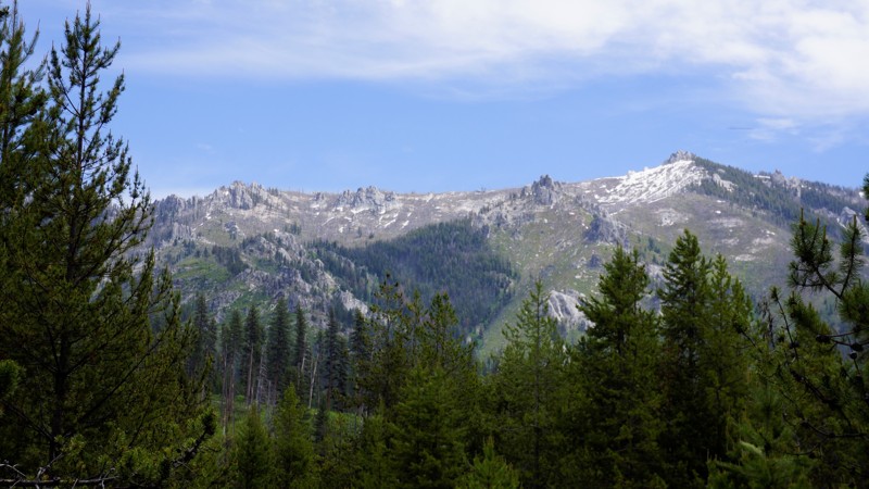
Silver Creek is in the Boise National Forest. It is a campers paradise with dozens of designated dispersed sites, some with vault toilets. There is also the very large developed Silver Creek Campground. The campground is also the home of the Silver Creek Plunge Resort, which is a geothermal heated pool between 100-97 degrees.
Updated: 06/04/2026
Lightning Creek
Clark Fork, Idaho
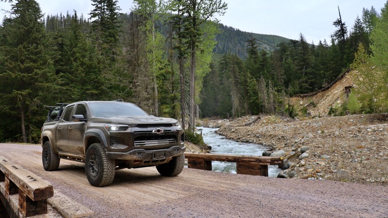
Tucked deep within the lush Idaho Panhandle National Forest, Lightning Creek Road #419 offers a scenic and peaceful backroad escape. It's perfect for those looking to unwind, explore, and maybe even cast a line. Stretching about 16 miles, this well-maintained gravel road follows the path of its namesake creek, weaving through dense forest and revealing hidden pockets of tranquility along the way.
One of the true gems of this route is the abundance of boondocking opportunities. Just yards from the creek, you’ll find spacious, private pullouts ideal for small campers or travel trailers. These spots are far enough off the main road to feel secluded, yet close enough to reach easily. Wake up to the sound of flowing water, enjoy your morning coffee beneath a canopy of trees, and spend your evenings around the campfire under star-filled skies.
This area is the wettest in Idaho, receiving an average of 90 inches of precipitation each year. It’s no surprise the landscape is so lush and vibrant. The road is generally wide enough for two vehicles to pass comfortably, with several spur trails and open spaces that invite a quick stop, a scenic lunch, or setting up camp for the night. Whether you're into fishing, exploring on foot, or simply relaxing by the creek, Lightning Creek Road offers an unforgettable slice of Idaho backcountry.
Updated: 10/15/2024
Hunter Creek - Crooked River
Tenmile Summer Home Area, Idaho
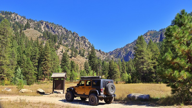
Hunter Creek - Crooked River Jeep Trail 348 is a fun, beautiful drive that runs along ridges to beautiful views of the Bear Summit and Archie Mountain. This trail can be started at North Fork Boise River or at Edna Creek. High clearance vehicles are recommended due to wash-outs and off-camber. The trail is mainly a single narrow lane. Hunter Creek - Crooked River provides access to several popular hiking trails and offers choices in dispersed camping along the trail.
Updated: 10/15/2024
Ephraim Elk Valley
Bennington, Idaho
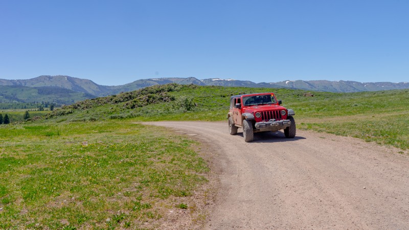
Ephraim Elk Valley is an out-and-back spurring off Crow Creek Road that takes you just past the Elk Valley Marsh. The marsh, a 200-acre high-altitude wetland bordered by grassland and forest, is recognized as an Idaho birding community site. The area is a nesting and molting area for Canada Goose and dabbling ducks. Camping is limited to a couple of sites at the top of the hill at the start of the trail and one at the end. The trail traverses a burn scar. Be aware of potential fallen trees on the trail.
Updated: 08/11/2026
Lake Creek Road
Sun Valley, Idaho
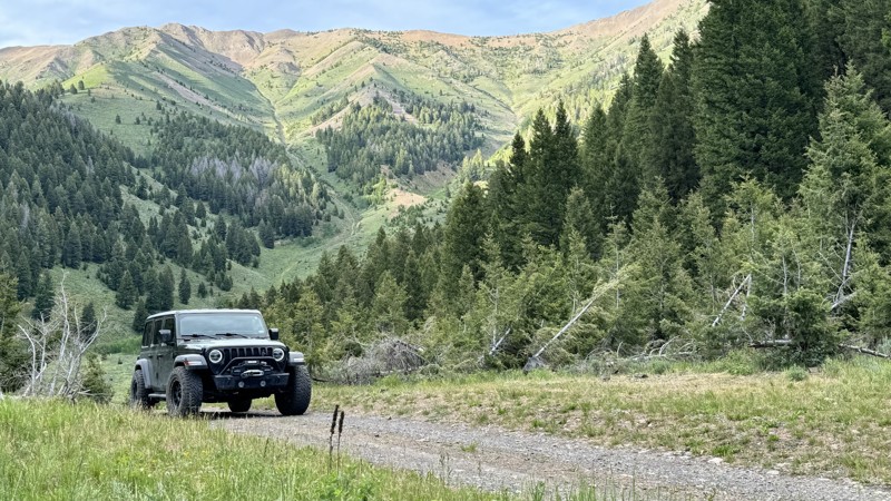
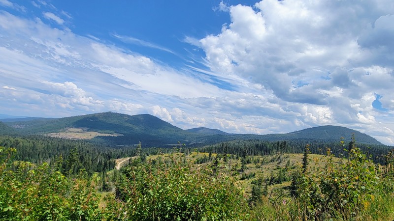
In a valley nestled between 9,000-foot mountain ridges sits Lake Creek Road, an easy 4.5-mile out-and-back trail with scenic views and access to spectacular camping, fishing, and hiking.
Lake Creek Road begins at the end of a paved road in a neighborhood. It becomes a graded dirt road for 3.5 miles before turning into a dirt two-track.
There are at least a dozen turnouts and established camping spots, most right next to the crystal-clear Lake Creek. At the 3.5-mile mark, there is a day-use picnic area with a fire ring, picnic table, and vault toilet. This location also offers a spring-fed pond with excellent trout fishing opportunities.
This trail also has two moderate to challenging hiking trails - Taylor Canyon Trail and the High Ridge Trail.
Located close to Ketchum and Sun Valley, it offers plenty of local restaurants, stores, and attractions like the Ernest Hemmingway Memorial and gravesite.
Updated: 08/11/2026
Fishhook Creek Road
Avery, Idaho
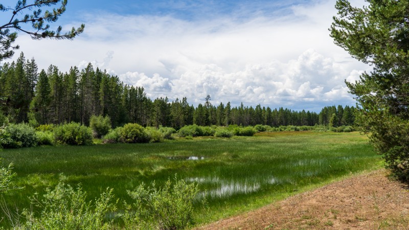
Fishhook Creek Road winds through the breathtaking mountains of northern Idaho, threading its way into the heart of the Idaho Panhandle National Forest. You’ll see spectacular views as you traverse around Widow Mountain.
This is an active logging road toward the north end, which is a wide, double-lane gravel road. Be careful and watch out for logging trucks barrelling down the road if you’re there during working hours.
Little North Fork Clearwater Campground is a small campground located on the river that shares its name. There are only a few spots and no facilities. The only other campground is called Orphan Saddle, which does have vaulted toilets, and each site has a picnic table and fire ring.
This is not for beginners; there are some tricky, rocky sections in the middle of the trail, while both ends are relatively easy. 4WD and high clearance are a must for this trail on the rocky sections. The north end of the trail is a tiny town named Avery, and the other end of the trail is in Clarkia in the southwest.
Updated: 10/15/2024
Graveyard Flats
Gerrit, Idaho
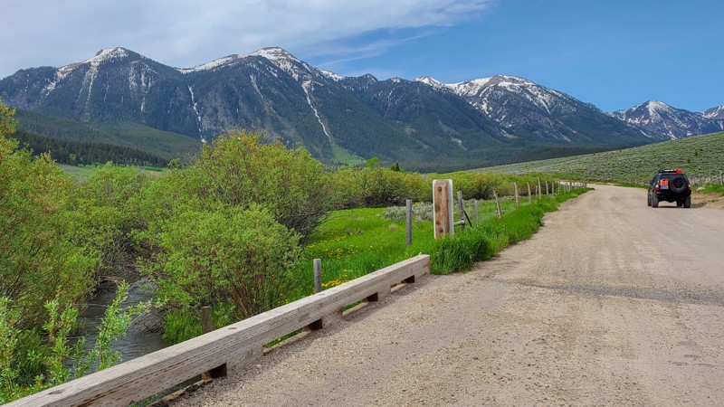
Graveyard Flats in an uneventful packed-dirt road through the Targhee National Forest right below Lookout Butte. This trail splashes through a couple of mud puddles before connecting with West Hatchery Ford. Camping was not found along this trail. Hhowever, there are multiple options in the area if you are looking to spend the night in the woods.
Updated: 10/15/2024
058
Lakeview, Idaho
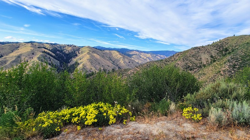
Experience the beauty of Red Rock Pass, a connecting trail that links Henrys Lake in Idaho, near Highway 20, to South Valley Road, which leads to Monida in Montana, and I-15. This scenic connector trail offers a gateway to endless opportunities for exploration and outdoor adventure. There are also a couple of campsite spurs nestled among the aspen and spruce trees, with one near a small creek.
Updated: 08/11/2026
Grimes Pass Road
Grimes Pass, Idaho
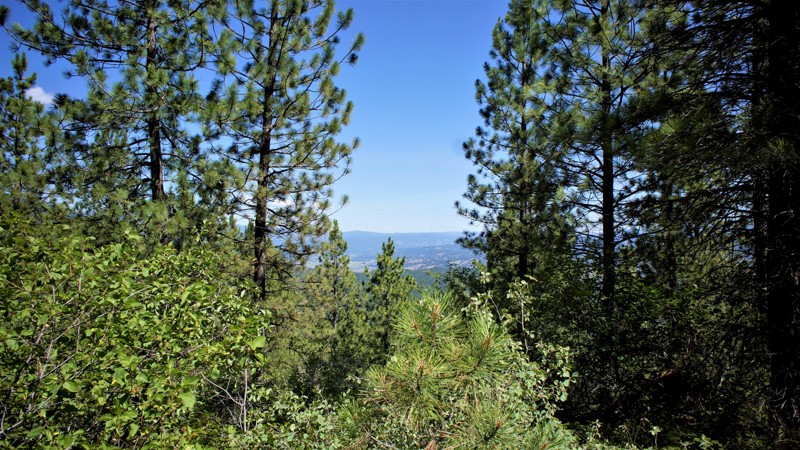
Grimes Pass Road is a scenic, easygoing mountain route that winds through the Boise National Forest, just north of Idaho City. This well-graded dirt road traces the historic path of early miners and settlers, crossing through pine-studded ridges and open meadows as it connects the Banks-Lowman Scenic Byway to New Centerville, passing through the historic mining town of Pinoeerville. The elevation tops out around 4,800 feet at Grimes Pass, offering sweeping views of forested hills and the occasional glimpse of distant peaks.
The road is suitable for most vehicles in dry conditions, including stock SUVs and crossovers. While the terrain is generally smooth, occasional washboards, ruts, and potholes may appear depending on recent weather. Numerous spurs branch off the main route, leading to old mining sites, dispersed campsites, and deeper trail networks that offer more challenge for those looking to explore. There aren't any campsites along this specific road, but on Southfork Road in the north, there are great campsites along the Payette River.
Grimes Pass Road is a great choice for newer drivers or anyone looking for a relaxed offroad cruise through classic central Idaho backcountry. It provides a quiet, forested alternative to the busier paved routes and is especially beautiful in the fall when the aspens and larches begin to turn. Keep an eye out for wildlife, historic remnants, and signage marking the area’s Gold Rush past.
Updated: 06/05/2022
Wash Creek Ridge Spur
Garden Valley, Idaho
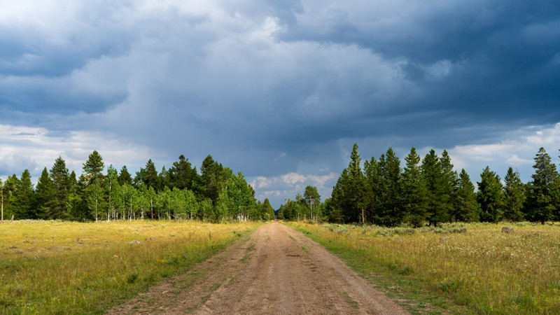
Wash Creek Ridge Trail is in the Boise National Forest. It is 4 miles north of Placerville, Placerville was established in 1862 for gold, and silver mining, plus logging. Its peak population of 3,300 has dwindled to 50 as of the last census, so the town is little more than a ghost town. This trail ends near Mineral Mountain where there are still active mines, Mineral Hill Mine, Grand View Mine, and the Klondike, to name a few. Elk winter in Garden Valley to the north. The elk live in these mountains in large numbers the rest of the year. In early spring this trail is a prime hunting spot for their dropped antlers. Elk have predators besides man so stay alert for mountain lions, wolves, and bears.
Updated: 10/15/2024
North Antelope Flat
Island Park, Idaho
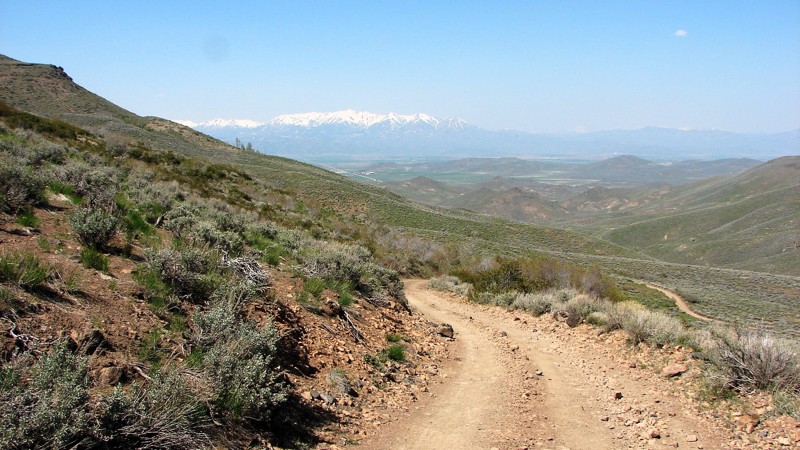
As one of the central veins in this trail network, North Antelope Flat is an easy, packed dirt road taking you from Highway 20 through the Targhee National Forest and ending near the base of Bishop Mountain. Although it is often dry, this road can become rather sloppy with passing thunderstorms that frequent the area. Wildflowers are abundant during the spring and summer, so combine this with South Antelope Flat for a wonderfully colorful few hours. Camping was not seen directly on this trail, but many other trails in the area offer dispersed camping.
Updated: 10/15/2024
Davis Mountain Road
Hill City, Idaho
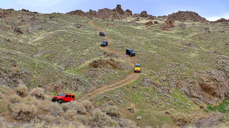
Davis Mountain Road is a non-maintained rock, gravel, and dirt trail through the Bennett Mountains north of Gooding, Idaho. The surface is often very rocky, rough, and steep, making a four-wheel drive vehicle with good ground clearance and proper tires a must. The road climbs in and out of several deep valleys, has multiple water crossings, and numerous tight switchback turns. Anticipate climbs steeper than 15°.
Davis Mountain Road follows along the north edge of both the Deer Creek Wilderness Study Area and the Gooding City of Rocks East Wilderness Study Area. While motorized travel within the WSAs is not allowed, there are a couple of cherry stem and through-road incursions into the WSAs where motorized travel is allowed. Whether traveling the main road or an incursion, it is important to stay on the designated road and respect the near-wilderness aspects of the area.
Dispersed camping is allowed along Davis Mountain Road, and there are numerous likely places to set up for the night. Where the road borders a Wilderness Study Area, camping inside the WSA is allowed—but you have to walk into the chosen site as vehicles are not allowed in the WSA. Potential dispersed campsites are near small springs and streams, but, at least in early May, the mosquitoes would make camping in those spots less than pleasant.
Updated: 06/30/2025
Pigeon Road
Wilson, Idaho
Known locally as part of the Wilson Peak Loop, Pigeon Road wraps around the east and south sides of Wilson Peak. The road starts and ends at Wilson Creek Road, and is a scenic drive that rewards adventurers with fantastic views overlooking the charming community of Wilson and the rugged beauty of the Owyhee Mountain Range. You can kick off your journey from either the north or south trailhead, but be prepared—about 4 miles of this route are marked "Motorized Travel Not Recommended." This stretch is thrilling, featuring heavily eroded sections, washed-out roadbeds, and sizable boulders demanding careful tire placement to avoid steep drop-offs. High clearance and 4WD are essential, and a locking differential will make tackling the trickiest parts a little easier. While you won't find any official campsites, numerous spur roads branch off to secluded areas that could make for perfect dispersed camping spots.

Updated: 10/23/2023
Timber Flat 666A1/A2
Horseshoe Bend, Idaho
Timber Flat 666A1/A2 is in the Boise National Forest and south of the area known as Sagehen Reservoir. A1 and A2 are actually spur trails from the main Timber Flat. It was decided to combine these two shorter trails into a nice 1.2-mile trail since it loops onto itself at the trail's end. This area is less than 2 hours from Boise, making it the perfect getaway spot for a few hours of offroad wheeling, camping in one of the dozens of dispersed campsites you can find on these trails, or being a bit more comfortable in one of four improved campsites at the lake. The rainbow trout fishing will be fantastic in 2021 since the campgrounds have been closed all of 2020 because of logging activities for fire management. Beautiful bull elk can be spotted along this trail, as well as much other wildlife.
Updated: 08/11/2026
Inman Toponce Road
Inkom, Idaho
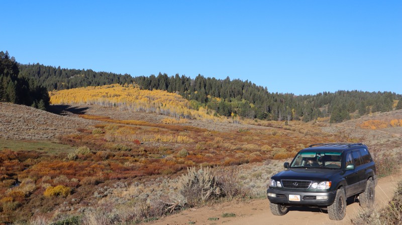
This is a popular area for outdoor recreation with access to camping and many other offroad trails. This can make it quite dusty when dry, as the dirt has been well pulverized to fine dust. Almost any vehicle could make this trail, with sharp curves and steep hills being the biggest challenges. It also contains scenic mountain views that become colorful in the fall. There's a big staging area near the west end where you can leave a trailer and take your motorized vehicle into the forest. There are a few obvious camping spots just off the road and dispersed camping all along this road. At the end of this trail, it turns into a 50" wide or less ATV trail.

Updated: 01/09/2025
Sagehen Spur 626BA
Cascade, Idaho
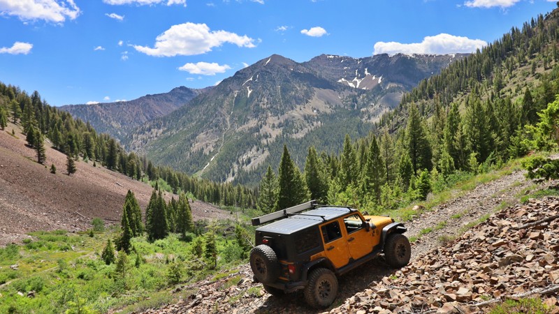
Sagehen Spur 626BA is in the Boise National Forest, less than 2 hours north of Boise. The main road, Sagehen Reservoir Road, has lots of spur trails like this one where you will find dozens of dispersed camping sites. This trail has Tripod Meadow opposite the trailhead which has the Tripod Creek running through it. The meadow is a beautiful location to watch for the wildlife that calls this area home. Besides deer and elk, be aware of bear and mountain lion as well. Watch yourself, your children, and your pets accordingly.
Updated: 10/15/2024
Little Fall Creek
Sun Valley, Idaho
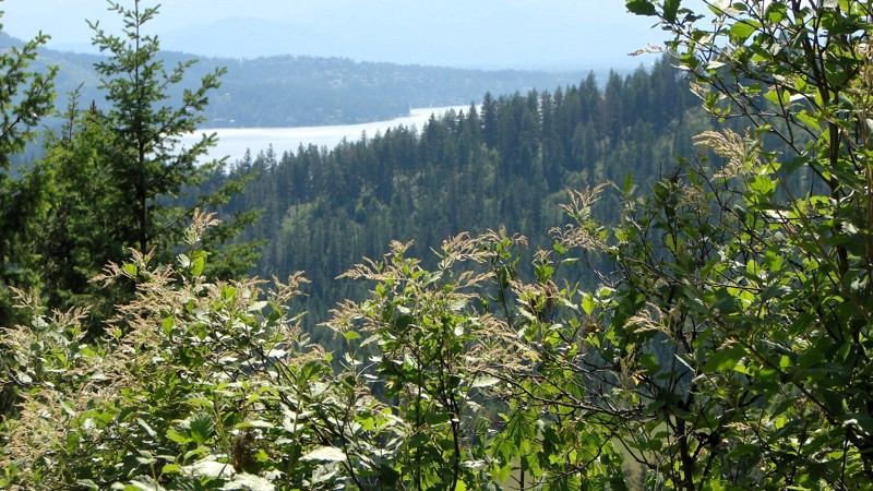
Little Fall Creek Road offers stunning views of the Boulder Mountain Range. This rugged old mining road is narrow and rough, but a high-clearance vehicle will easily take you up to 7,800 feet. Beyond that point, the road becomes more challenging, with large rocks to navigate between 8,000 and 8,200 feet. The last 0.7 miles are not recommended for full-size vehicles due to tight switchbacks and fallen logs that could damage sides and tires. At the trail's end, you'll see a historic miner cabin, a testament to the area's past.
Updated: 08/11/2025
Railroad Grade Road
Rockaway Beach, Idaho
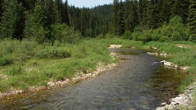
Railroad Grade Road offers easy and interesting access between US 95 and FS 206, also known as Little North Fork Road. The Grade is an easy drive on a good, two-lane, gravel road that is in reasonably good condition. It can be driven by any vehicle with reasonable ground clearance. Railroad Grade Road winds up from Little North Fork Road, tops a ridge, and winds down to the valley near US 95.
Because this is a major access road into the Idaho Panhandle National Forest, it is likely to be busy, especially on weekends. Although the road surface is in reasonably good shape, it is pretty dusty, and there are numerous blind curves where extra caution should be exercised. Dispersed camping is permitted, and several nice, existing sites are available to choose from.
Updated: 06/29/2026
Little North Fork Road
Lakeview, Idaho
Little North Fork Road is a scenic gravel route that closely follows the North Fork of the Coeur d'Alene River for most of its length. This well-worn two-lane road is accessible to most vehicles with moderate ground clearance and provides constant visual access to the river, creating a peaceful and immersive driving experience. The northern end of the route winds through dense forest with limited long-range views, while the southern stretch opens into broader vistas with striking mountain backdrops.
The road surface is typical forest gravel, though much of the gravel has worn away, leaving behind patches of exposed base rock and small potholes. These conditions can make the ride feel slow and bumpy, especially around the many blind corners that demand caution. Despite the rough sections, the road remains manageable for most stock SUVs and trucks.
Dispersed camping is allowed along the route, and there are plenty of pre-established sites, especially at the northern and southern ends. Whether you're in it for riverside views, peaceful forest camping, or a quiet mountain drive, this road offers an enjoyable off-pavement escape for casual and seasoned adventurers alike.
Updated: 10/15/2024
066
Big Springs, Idaho
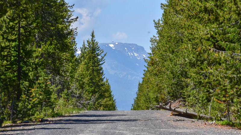
066 is an easy trail with some ruts, connecting West Yellowstone to Island Park via South Fork Madison. The trail has some decent views, and it is a pretty drive. Dispersed camping is allowed in the area, with a few spurs to campsites in the lower trail elevations.
Updated: 10/15/2024
Smokey Boulder Road
Devils Ladder, Idaho
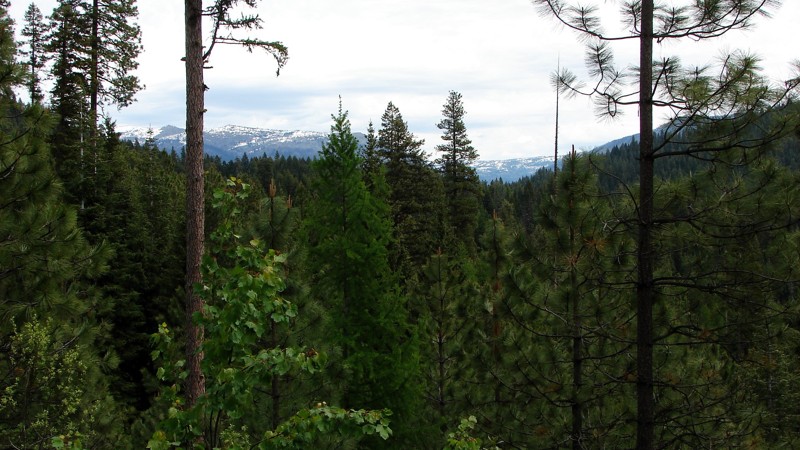
Smokey Boulder Road is an easy gravel bypass around New Meadows, Idaho, and it can be driven by any vehicle. The major hazards are blind curves and moderate washboards in places. Much of the road travels through dense forest.
Camping is interesting, with many designated, signed, and numbered campsites along the ridge portion of the road. It is set up like a linear campground, with up to about a quarter mile between sites. Some sites have fire pits and pit toilets, while others don't. A few sites are accessible pulling a trailer, but many are not.
Updated: 10/15/2024
South Twin Sisters Road
Almo, Idaho
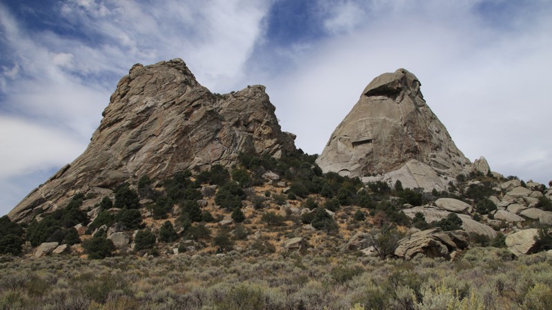
Twin Sisters begins at Register Rock and traverses a broad valley, passing two massive granite monoliths that give the road its name. Though the huge outcroppings are close together, they were formed millions of years apart before being thrust up through the earth's crust. Thus, they are hardly twins, but the name has stuck nonetheless.
Between 1845 and 1869, the California Trail saw over 250,000 easterners moving westward in search of the promised riches of the California Gold Rush. The California Trail ran through what is now the City of Rocks National Reserve, where wagon ruts are still visible beside the road today. The emigrants named the place Pyramid Valley for the pointed spires surrounding the lush central valley, a favorite camping location along the trail. A few travelers even wrote their names in axle grease on Register Rock, many of which are still visible today.
Camping in the City of Rocks Reserve is limited to designated campsites, which must be reserved. Four small walk-in tent sites and a group site sit near the Twins. Nearby Smokey Mountain Campground sits in a large juniper and pinion forest, offering 38 campsites with RV hookups. The small town of Almo hosts the Visitor Center, a small general store with a gas pump, two restaurants, and numerous commercial campgrounds.
Updated: 08/11/2025
Doublesprings
Dickey, Idaho
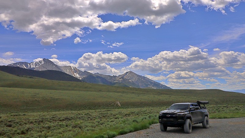
Doublesprings Road (FR 116) is a gravel backroad that winds through the wild and scenic terrain of Custer County, Idaho. Starting about 22 miles north of Mackay off US-93, it climbs steadily between the Lost River and Lemhi ranges, topping out at Doublespring Pass, a wide saddle offering sweeping views of Idaho’s highest peaks, including Borah, Leatherman, and Breitenbach.
This easy, graded road is more than just a scenic drive. Just a few miles in, travelers pass the Mount Borah earthquake site, where interpretive signs detail the dramatic 1983 quake and visible fault scarp. It’s also a launch point for offroad exploration into the spectacular Upper Pahsimeroi and West Fork Pahsimeroi Valleys, with river canyons and remote trails that feel worlds away.
Wildflowers, wildlife, and the quiet hum of high-country solitude make this drive especially rewarding in summer and fall. While there are no developed campgrounds, dispersed camping is available along wide pull-offs and side tracks.
Best traveled between late spring and fall, Doublesprings Road offers a blend of geological wonder, mountain views, and backcountry access that captures the rugged soul of central Idaho.
Updated: 10/15/2024
South Antelope Flat
Island Park, Idaho
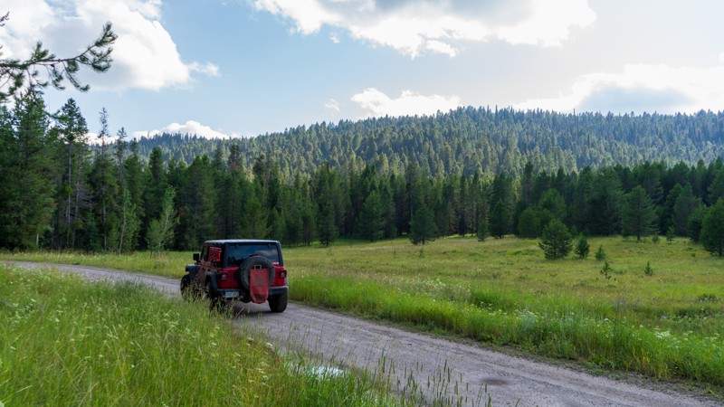
The most popular trail in this network, South Sheep Falls, is a maintained dirt and gravel road with access to incredible camping, hunting grounds, hiking trails, wildflower viewing, and bird watching. Jogging over 13 miles through the Targhee National Forest, combine this with North Antelope Flat for a wonderful drive through the trees and breathe in the fresh air. There are nearly endless camping options from small and tucked away to large enough to handle RV's.

Upgrade your Membership
Unlock all of the details on every Trail Guide and Scout Route.
Start a 7-day Free TrialBrowse Trails in Idaho by City
Browse every Idaho city with offroad trail guides.
Community
Partners

