



By clicking "ACCEPT", you agree to be the terms and conditions of each policy linked to above. You also agree to the storing of cookies on your device to facilitate the operation and functionality of our site, enhance and customize your user experience, and to analyze how our site is used.
Idaho Off-Road Trails
63
Total Trail Guides 60

644
Detailed Waypoints 302
Try a Free 7-Day Trial and unlock it all
Start a Free Trial Most Recent Trail Reviews
No Rating
Open
Visited: 09/19/2026
Fun drive, lots of dirt bikes and a few BDR Moto riders. Drove it in reverse direction.

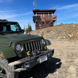
Kim Richards
No Rating
Open
Visited: 09/19/2026
This trail was a great time. It is very unique, ive never been on a trail like it. the lava rock has plenty of traction and is pretty nasty on tires. But all in all I would recommend it to be done at ...
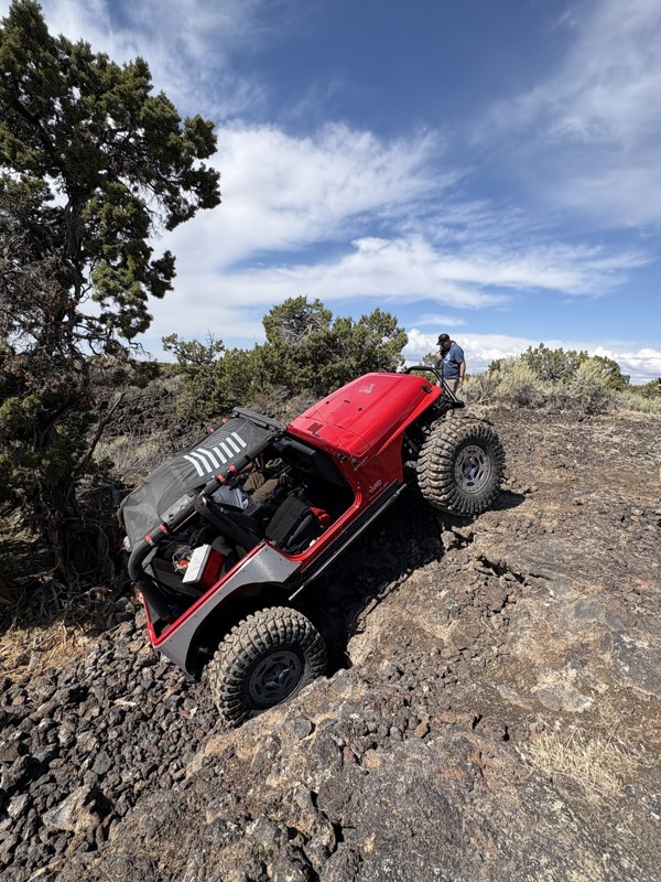
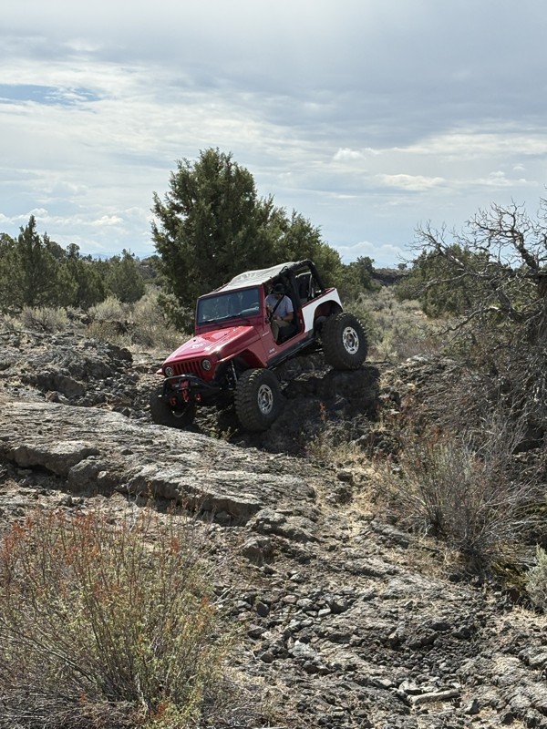
JP
Jared Pyne
Rated 3/5
Open
Visited: 09/15/2026
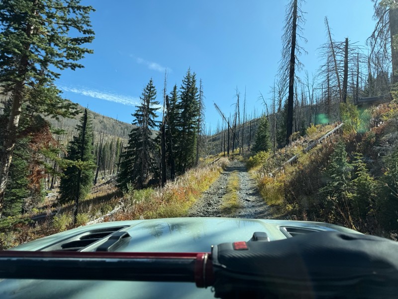
Trail consists of mostly narrow 2-track. Softball to soccer ball sized rocks. Slow going. Most of this forestland experienced fire in the past few years and is still recovering. Pulled a 9’ off-road t...
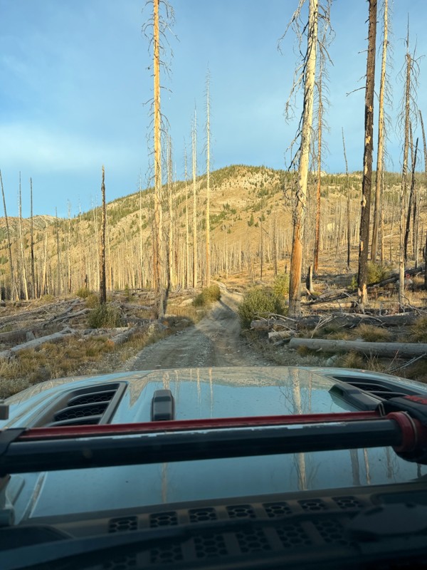
JH
Jason Holmes
No Rating
Open
Visited: 09/05/2026
Been going here for 57 years and the road keeps getting easier and easier. Sedans can make it.
BC
Bruce Chadwick
Rated 4/5
Open
Visited: 09/01/2026
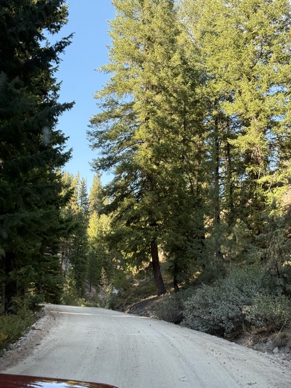
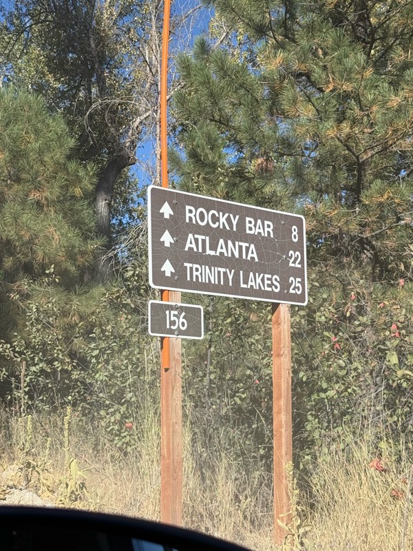
Easy trail that connects you to other great locations. Any vehicle could do this one.
PS
Paul Smith
Rated 4/5
Open
Visited: 09/01/2026
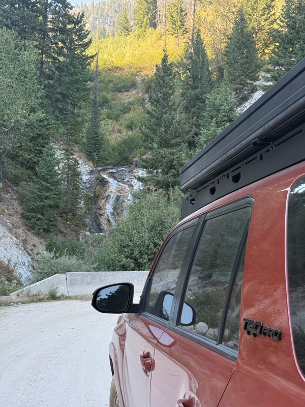
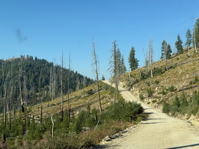
Pretty easy trail although there are some narrow spots along the way. Gets a bit bumpy and rocky as you head toward Atlanta but nothing difficult.
PS
Paul Smith
No Rating
Open
Visited: 09/01/2026
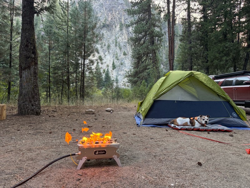
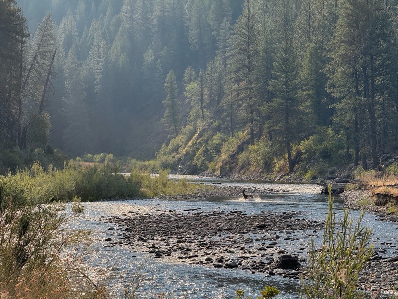
Beautiful and easy road. The smoke was wildfires was pretty bad but that can change. Any stock vehicle could do this at the moment. Campsites were all nearly empty which was a bonus.
PS
Paul Smith
Rated 3/5
Open
Visited: 08/22/2026
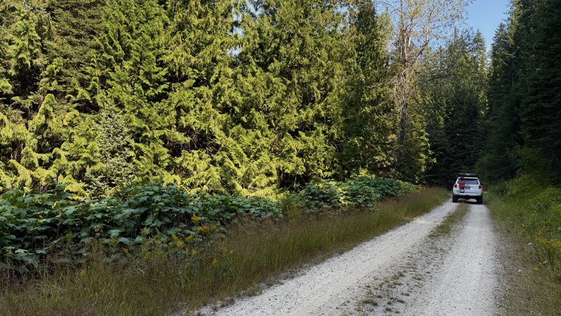
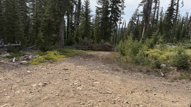
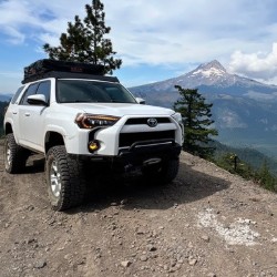
If it wasn't a very exciting trail, it still gets three stars because of how well-maintained it is. I can't even recall one single pothole the whole 4.5 miles. Otherwise, I was just using it as a conn...
Lorraine Bourget
Official Crew
Rated 3/5
Open
Visited: 08/22/2026
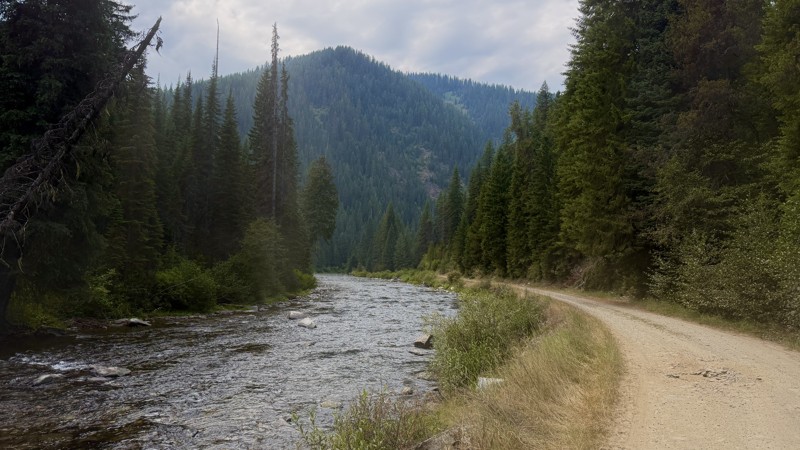
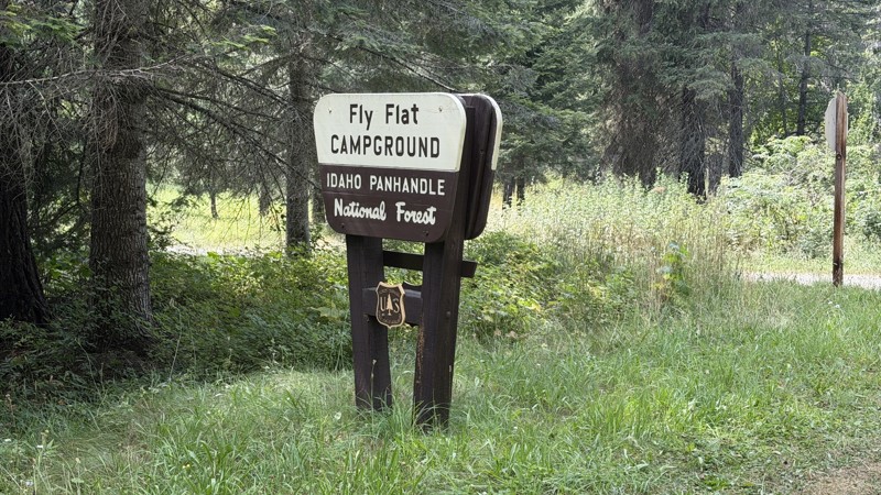
While it was a beautiful drive along the river, I'm rating this road 3 stars. Honestly, I planned my weekend around having the least amount of human contact possible but this section of my loop had ot...
Lorraine Bourget
Official Crew
Rated 5/5
Open
Visited: 08/22/2026
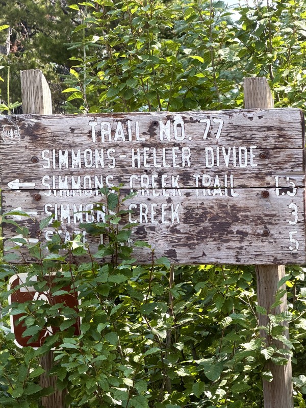
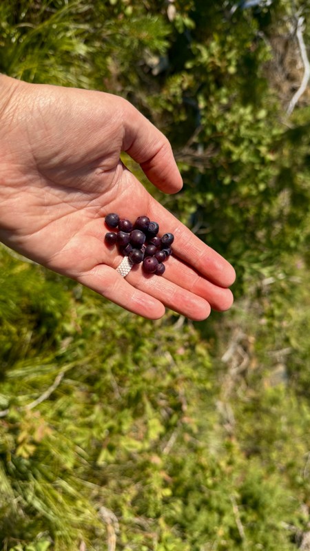
This trail holds a somewhat sentimental value to me. I randomly stumbled across it a couple of years ago when searching for somewhere to use my shower at the top of a mountain. Little did I know I wou...
Lorraine Bourget
Official Crew
Rated 4/5
Open
Visited: 08/21/2026
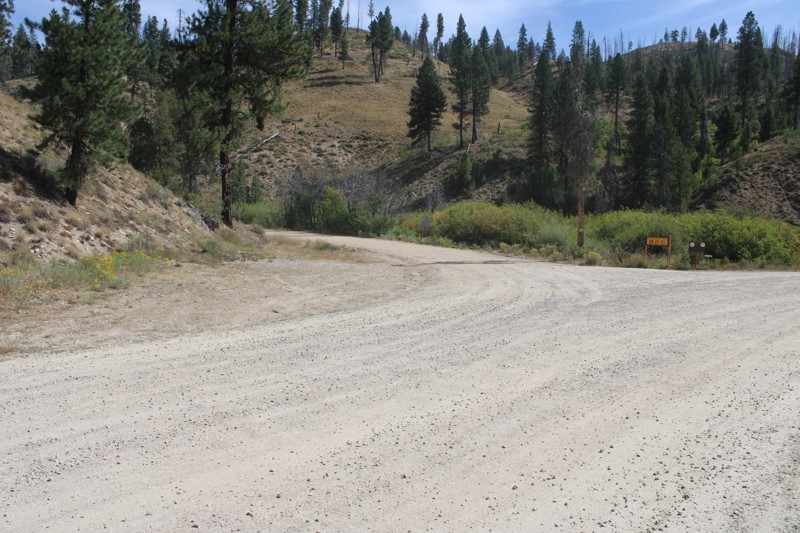
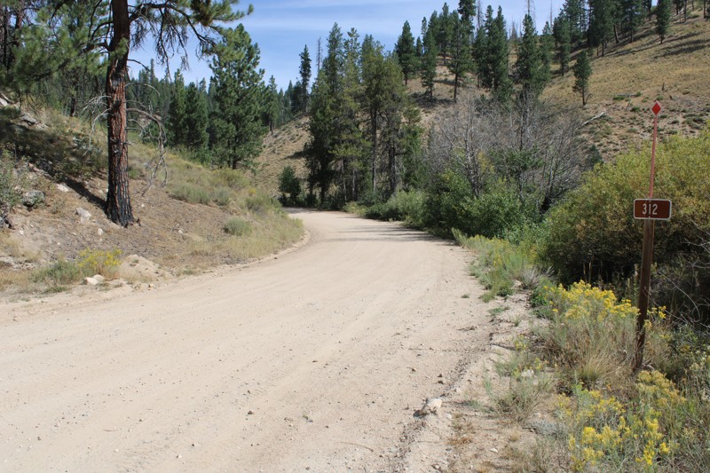
Pike's Fork Road is a spectacular drive into the heart of the Boise National Forest! One of the many dispersed campsites along its length makes an excellent destination for one night on a multi-night...

Bill Ward
Official Crew
Rated 5/5
Open
Visited: 08/16/2026
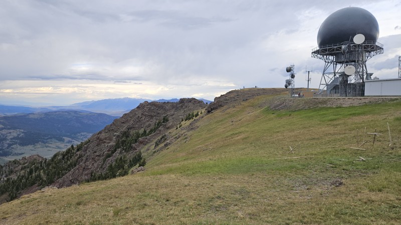
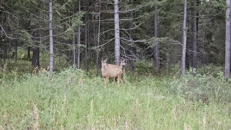
One person can give a group a bad name, especially in the side-by-side world, and that one was on the trail tonight like it was his private racetrack. Otherwise, a very peaceful and enjoyable drive. T...

Cory Wooldridge
Official Crew
Rated 5/5
Open
Visited: 08/11/2026
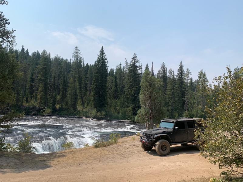
Great Jeep trail! Had fun running it and in pretty good shape. Dry and dusty with a few sections of rocks on decline/incline depending on what direction you’re going. No issues in my lifted Jeep. Not ...
JJ
Jill Jensen
No Rating
Open
Visited: 08/11/2026
Per the MVUM, the trail is seasonally open. As always, check current fire restrictions/closures before venturing out.

Trails Offroad
Official Crew
Open
Visited: 08/11/2026
Per the MVUM, the trail is seasonally open. As always, check current fire restrictions/closures before venturing out.
Trails Offroad
Official Crew
No Rating
Open
Visited: 08/11/2026
Per the MVUM, the trail is seasonally open. As always, check current fire restrictions/closures before venturing out.
Trails Offroad
Official Crew
No Rating
Open
Visited: 08/11/2026
Per the MVUM, the trail is seasonally open. As always, check current fire restrictions/closures before venturing out.
Trails Offroad
Official Crew
No Rating
Open
Visited: 08/11/2026
Per the MVUM, the trail is seasonally open. As always, check current fire restrictions/closures before venturing out.
Trails Offroad
Official Crew
No Rating
Open
Visited: 08/11/2026
Per the MVUM, the trail is seasonally open. As always, check current fire restrictions/closures before venturing out.

Todd
Official Crew
No Rating
Open
Visited: 08/11/2026
Per the MVUM, the trail is seasonally open. As always, check current fire restrictions/closures before venturing out.
Todd
Official Crew
No Rating
Open
Visited: 08/11/2026
Per the MVUM, the trail is seasonally open. As always, check current fire restrictions/closures before venturing out.
Todd
Official Crew
No Rating
Open
Visited: 08/11/2026
Per the MVUM, the trail is seasonally open. As always, check current fire restrictions/closures before venturing out.
Todd
Official Crew
No Rating
Open
Visited: 08/11/2026
Per the MVUM, the trail is seasonally open. As always, check current fire restrictions/closures before venturing out.
Todd
Official Crew
No Rating
Open
Visited: 08/11/2026
Per the MVUM, the trail is seasonally open. As always, check current fire restrictions/closures before venturing out.
Todd
Official Crew
No Rating
Open
Visited: 08/11/2026
Per the MVUM, the trail is seasonally open. As always, check current fire restrictions/closures before venturing out.
Todd
Official Crew
No Rating
Open
Visited: 08/11/2026
Per the MVUM, the trail is seasonally open. As always, check current fire restrictions/closures before venturing out.
Todd
Official Crew
No Rating
Open
Visited: 08/11/2026
Per the MVUM, the trail is seasonally open. As always, check current fire restrictions/closures before venturing out.
Todd
Official Crew
No Rating
Open
Visited: 08/11/2026
Per the MVUM, the trail is seasonally open. As always, check current fire restrictions/closures before venturing out.
Trails Offroad
Official Crew
No Rating
Open
Visited: 08/11/2026
Per the MVUM, the trail is seasonally open. As always, check current fire restrictions/closures before venturing out.
Trails Offroad
Official Crew
No Rating
Open
Visited: 08/11/2026
Per the MVUM, the trail is seasonally open. As always, check current fire restrictions/closures before venturing out.
Trails Offroad
Official Crew
No Rating
Open
Visited: 08/11/2026
Per the MVUM, the trail is seasonally open. As always, check current fire restrictions/closures before venturing out.
Trails Offroad
Official Crew
No Rating
Open
Visited: 08/11/2026
Per the MVUM, the trail is seasonally open. As always, check current fire restrictions/closures before venturing out.
Trails Offroad
Official Crew
No Rating
Open
Visited: 08/11/2026
Per the MVUM, the trail is seasonally open. As always, check current fire restrictions/closures before venturing out.
Trails Offroad
Official Crew
No Rating
Open
Visited: 08/11/2026
Per the MVUM, the trail is seasonally open. As always, check current fire restrictions/closures before venturing out.
Trails Offroad
Official Crew
No Rating
Open
Visited: 08/11/2026
Per the MVUM, the trail is seasonally open. As always, check current fire restrictions/closures before venturing out.
Trails Offroad
Official Crew
No Rating
Open
Visited: 08/11/2026
Per the MVUM, the trail is seasonally open. As always, check current fire restrictions/closures before venturing out.
Trails Offroad
Official Crew
No Rating
Open
Visited: 08/11/2026
Per the MVUM, the trail is seasonally open. As always, check current fire restrictions/closures before venturing out.
Trails Offroad
Official Crew
No Rating
Open
Visited: 08/11/2026
Per the MVUM, the trail is seasonally open. As always, check current fire restrictions/closures before venturing out.
Trails Offroad
Official Crew
No Rating
Open
Visited: 08/11/2026
Per the MVUM, the trail is seasonally open. As always, check current fire restrictions/closures before venturing out.
Trails Offroad
Official Crew
No Rating
Open
Visited: 08/11/2026
Per the MVUM, the trail is seasonally open. As always, check current fire restrictions/closures before venturing out.
Trails Offroad
Official Crew
No Rating
Open
Visited: 08/11/2026
Per the MVUM, the trail is seasonally open. As always, check current fire restrictions/closures before venturing out.
Trails Offroad
Official Crew
No Rating
Open
Visited: 08/11/2026
Per the MVUM, the trail is seasonally open. As always, check current fire restrictions/closures before venturing out.
Trails Offroad
Official Crew
No Rating
Open
Visited: 08/11/2026
Per the MVUM, the trail is seasonally open. As always, check current fire restrictions/closures before venturing out.
Trails Offroad
Official Crew
No Rating
Open
Visited: 08/11/2026
Per the MVUM, the trail is seasonally open. As always, check current fire restrictions/closures before venturing out.
Trails Offroad
Official Crew
No Rating
Open
Visited: 08/11/2026
Per the MVUM, the trail is seasonally open. As always, check current fire restrictions/closures before venturing out.
Trails Offroad
Official Crew
No Rating
Open
Visited: 08/11/2026
Per the MVUM, the trail is seasonally open. As always, check current fire restrictions/closures before venturing out.
Trails Offroad
Official Crew
No Rating
Open
Visited: 08/11/2026
Per the MVUM, the trail is seasonally open. As always, check current fire restrictions/closures before venturing out.
Trails Offroad
Official Crew
No Rating
Open
Visited: 08/11/2026
Per the MVUM, the trail is seasonally open. As always, check current fire restrictions/closures before venturing out.
Trails Offroad
Official Crew
No Rating
Open
Visited: 08/11/2026
Per the MVUM, the trail is seasonally open. As always, check current fire restrictions/closures before venturing out.
Trails Offroad
Official Crew
No Rating
Open
Visited: 08/11/2026
Per the MVUM, the trail is seasonally open. As always, check current fire restrictions/closures before venturing out.
Trails Offroad
Official Crew
Most Popular

Updated: 09/10/2026
North Fork Big Lost River
Sun Valley, Idaho
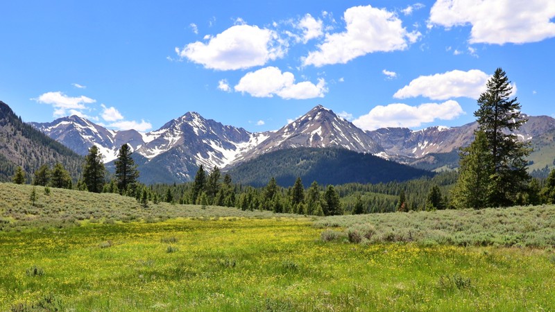
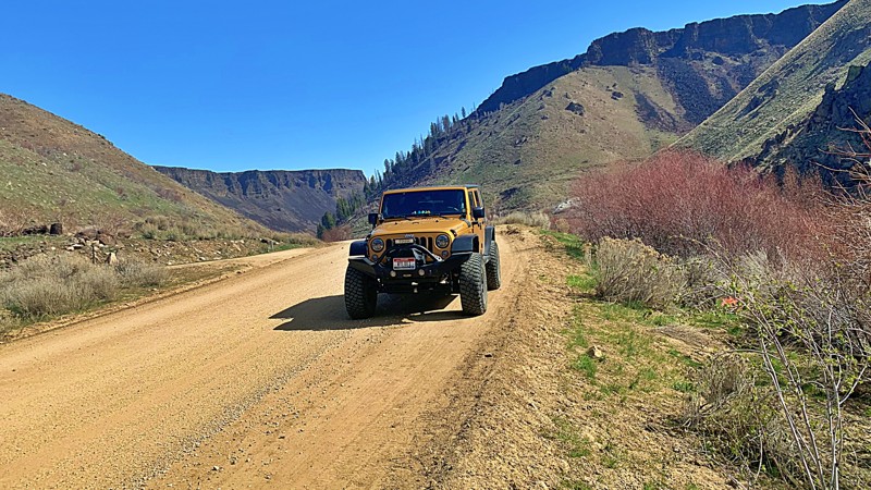
The North Fork Big Lost River Road lets you experience stunning river and mountain scenery. This scenic trail runs parallel and provides access to the Jim McClure-Jerry Peak Wilderness, with several hiking trailheads. The road is well-maintained until the final mile, transforming into a primitive grassy trail with ruts from wet weather driving. While this section can be impassable during wet conditions, it offers breathtaking views of the White Cloud and Boulder Mountains. High-clearance vehicles are recommended for this last portion, while passenger vehicles and RVs can comfortably navigate most of the road. Numerous turnoffs provide ideal spots for RV-dispersed camping, perfect for immersing yourself in nature's beauty.
Updated: 10/15/2024
South Fork
Reclamation Village, Idaho
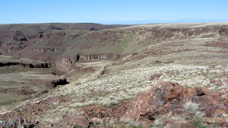
South Fork is a beautiful drive along the South Fork Boise River and starts at the top of Anderson Ranch Dam. The South Fork Boise River is very popular for trout fishing and whitewater rafting. Several dispersed campsite areas, some with established fire rings and pit toilets, and others with only stone fire rings. A point of interest is the historical Reclamation Village, where workers and their families lived during the construction of the Anderson Ranch Dam (1941-1950). Japanese-Americans interned at the Minidoka War Relocation Center near Twin Falls were used during WWII labor shortages.
Updated: 10/15/2024
Jack's Creek Road
Comical Turn, Idaho
Jack's Creek Road goes west from Pipeline Road and follows the south side of the Little Jack's Creek Wilderness Area. It includes one cherry stem road into the wilderness that provides access to the deep canyons. Once it leaves the edge of the wilderness area, Jack's Creek Road winds through the sagebrush steppe and emerges on Mud Flat Road, aka the Owyhee Back Country Byway.
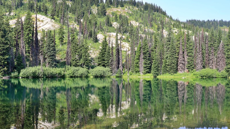
Along the wilderness area, the road crosses several narrow, steep gullies. These sections are covered in loose rock or gravel and are steep enough that 4WD is needed. West of the wilderness area, the road gradually improves until the last several miles are a nice, two-lane gravel road. The hardest part of the trail is one of the gullies near the east end of the road. There are several similar gullies both on the main road and on the cherry stem road.
The gullies were formed as tributaries to the river's main canyon and offer interesting views up and down the gully. Several gullies have nice grassy bottoms that would be nice places to hike to get additional views of the rock formations and cliffs.
Dispersed camping is allowed throughout the area. The most likely places are wide spots in the road where an overnight camp could be set up. Better camp locations may be on the side roads leading off Jack's Creek Road.
Updated: 10/15/2024
Rocky Ridge Lake
Musselshell, Idaho
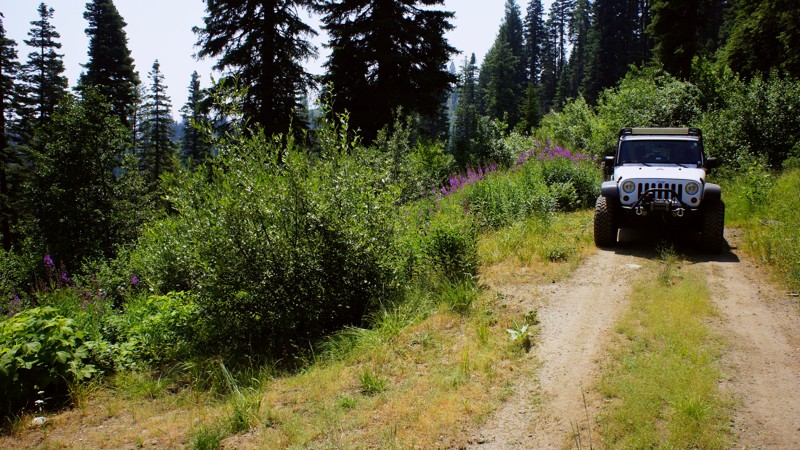
Nestled in the serene wilderness of the Nez Perce - Clearwater National Forest, Rocky Ridge Lake Campground is a hidden gem along the historic Lolo Motorway. This trail is easy, but embedded rocks provide a bumpy ride, so higher clearance vehicles are recommended. Enveloped by towering pines, this tranquil retreat offers a harmonious blend of solitude and natural beauty. Each of the five campsites is equipped with a picnic table and an established fire ring. The sites are best suited for tents, as the road and campground are not recommended for RVs or trailers. The campground also has a pit toilet. With the soft whispers of the trees and the gentle lapping of water as your soundtrack, Rocky Ridge Lake Campground provides a peaceful escape for nature lovers, offering a refreshing retreat into nature’s embrace.
Updated: 06/05/2022
Middle Fork Scriver Creek
Garden Valley, Idaho
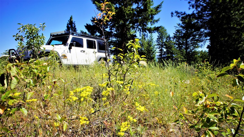
The Middle Fork Scriver Creek Trail is in the beautiful and diverse Boise National Forest. This trail is one of the several "Scriver" trails that make up this network for off-roading. It is less than 2 hours from Boise, and the three dispersed campsites on this trail are fantastic. You can do a quick out and back and spend less than 3 hours testing out some new modification on your rig, or stop for a picnic lunch, or set up camp for up to 2 weeks to enjoy nature, hike, hunt, or relax and do nothing. Remember, every wild animal this State offers is in this forest, so be aware and alert and respect their home.
Updated: 06/05/2022
Wash Creek Ridge
Garden Valley, Idaho
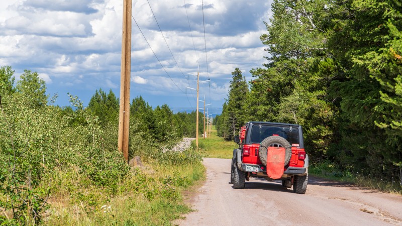
Wash Creek Ridge is in the beautiful and diverse Boise National Forest. The trailhead is very near Garden Valley, home to a huge herd of elk in the winter. The South Fork of the Payette River is even closer and offers camping, hot springs, and internationally renowned Kayak competitions.
At the trail's end, you are very close to Mineral Mountain Road which will lead you to the almost ghost town of Placerville. A booming mining town in the 1800s Placerville today has a population of 55. Some research of the area will reveal several gold mines in and around Mineral Mountain.
The trail travels through beautiful pine trees and grasses along the ridge between Wash Creek and Alder Creek Road. Both the trail and the area are great for wheeling, hiking, hunting, and camping.
Updated: 10/15/2024
Sheep Falls
Warm River, Idaho
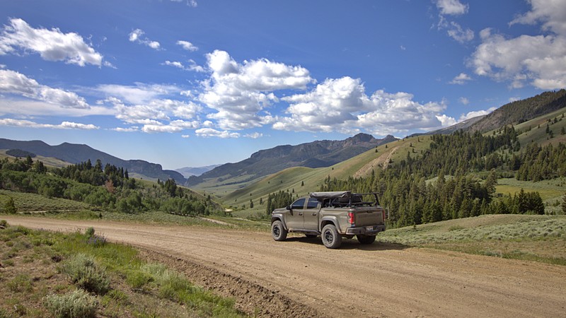
Sheep Falls is a popular trail and required to reach the hiking trailhead for Sheep Falls. This road is a story of 2 trails. The first portion is a little over two easy miles and is commonly run to reach Sheep Fall Trailhead. The remaining two-plus miles is a moderate, bumpy, muddy road that is slightly overgrown and ends with little room for one vehicle to turn around. 4WD may be needed depending on the mud situation. This is a scenic forest drive with lush vegetation and fresh air. There are large campsites in the first trail section and smaller, more secluded sites in the rougher second section.
Updated: 08/11/2025
Pass Creek
Clyde, Idaho
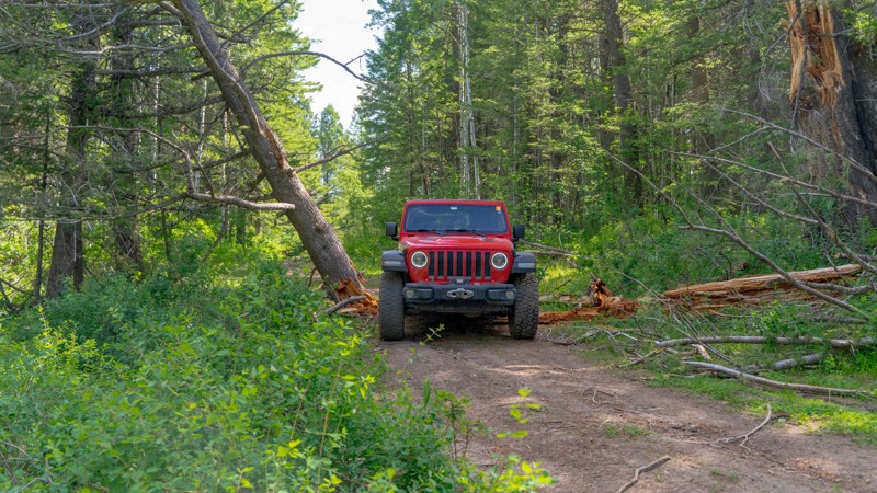
Just outside the quiet town of Mackay, Pass Creek Road invites exploration into the scenic high desert and foothills of Idaho’s Lost River Range. This well-maintained backroad winds through sagebrush valleys, crosses small creeks, and hugs rugged hillsides as it leads into the striking Pahsimeroi and Little Lost River Valleys.
Historically used by pioneers and ranchers, the route is now an accessible overland path into Idaho’s expansive backcountry. Most vehicles can handle it in dry conditions, but it turns slick when wet and may close in winter due to snow. Summer and early fall are ideal for travel, just prepare for dust and solitude.
Camping is available at the Pass Creek Narrows Camping Area, which offers seven dispersed sites with space for trailers or roof-top tents. There are no services, so come self-sufficient and pack out everything you pack in.
Updated: 08/11/2026
Lower Farnes
Herbert, Idaho
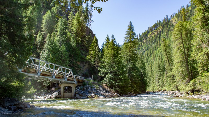
Lower Farnes is a narrow, out-and-back trail, spurring off Upper Farnes. This road is likely popular with hunters or perhaps snowmobilers, as there are no campsites along this road. But orange diamond signage is posted along the route. Keep an eye out for free-range cattle grazing in the area. The moderate rating is due to rutting on the trail from water and the narrow width. Per the MVUM this road is seasonally open from 07/01-9/30.
Updated: 08/11/2026
Selway River Road
Upper Crossing, Idaho
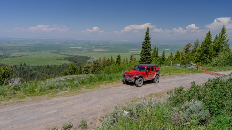
Selway River Road is a beautiful, non-technical, bumpy road winding its way along the early stages of the Wild and Scenic Selway River. This minimally maintained road sees usage almost every day from the lucky few who Raft the Selway River, so washboards and holes appear early in the season. Winding through the beautiful Clearwater National Forest, shade is plentiful, and snow lingers into early summer. Once it's dry, just about any vehicle can enjoy this scenic mountain drive.
There are many camping opportunities along the trail, including the developed Magruder Crossing Campground at the beginning and the Paradise Campground at the end. These campgrounds have designated sites, tables, fire rings, and bathrooms, but no water is available. Indian Creek and Raven Creek Campgrounds are located along the road as well, with minimal amenities. All of these incredible camping opportunities are free.
Updated: 10/15/2024
Grandview Main
Clementsville, Idaho
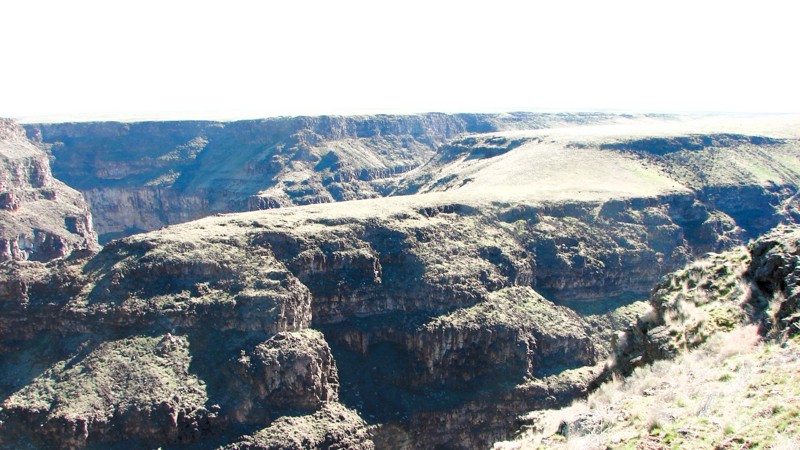
Grandview Main seems to be aptly named apexing at a viewpoint overlooking the valley below. Before entering the Caribou-Targhee NF, you'll first cross the Pony Creek Ranch. Signage is posted noting the private property. Respect their boundaries as you pass through. There are 2-3 noticeable campsites on this road, with two of them being only large enough for one vehicle. The trail is easy, although not quite as maintained as others in the area.
Updated: 10/15/2024
Blackstone/Grasmere Road
Hot Springs, Idaho
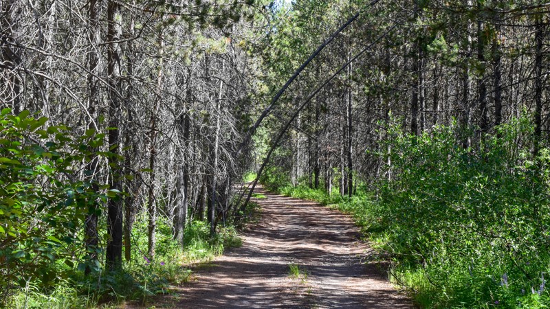
In many ways, the Blackstone/Grasmere Road is three separate roads with a single designation. The northern 15 miles and the southern four miles are well-maintained gravel roads ranging from one to two lanes wide. These sections are easy to drive with almost any vehicle. At about 15 miles from the north end, the road suddenly becomes a marginally improved two-track with areas of loose rock, sharp rocks, rocks to crawl over, gullies to navigate, and washouts. This center section is moderately difficult and requires a high clearance vehicle with good tires. About four miles from the south end of the road turns back into a well-behaved two-lane gravel road.
The road parallels the Bruneau River Canyon for much of the northern section. Numerous side roads and trails end on the canyon rim, offering spectacular views of one of nature's greatest works. The side trail depicted requires only moderate ground clearance and ends at a three-way canyon intersection. It is one of the most magnificent and scenic places along the entire Bruneau River Canyon!
Some other side roads and trails are equally easy, while others require a more capable vehicle with significant ground clearance.
The Bruneau River Canyon is a Wilderness Area. The wilderness designation includes the bottom, the canyon walls, and a short distance past the top of the walls in most areas. At the canyon end of the side roads, a marker designates the start of the wilderness area. Markers may be damaged or missing. A good rule of thumb is to not drive near the edge to keep your vehicle out of the wilderness area.
All of the public land along the road is open for dispersed camping. The end of the side road depicted is one of several options for setting up overnight—but don't sleepwalk!
The north trailhead of the Blackstone/Grasmere Road is accessed off of Hot Springs Road south of Bruneau, Idaho. There is no sign designating the road's name. The south trailhead is on Highway 51 at mile marker 37. There is a sign identifying it as Blackstone Road.
Updated: 03/09/2026
Wyoming Creek
Gerrit, Idaho
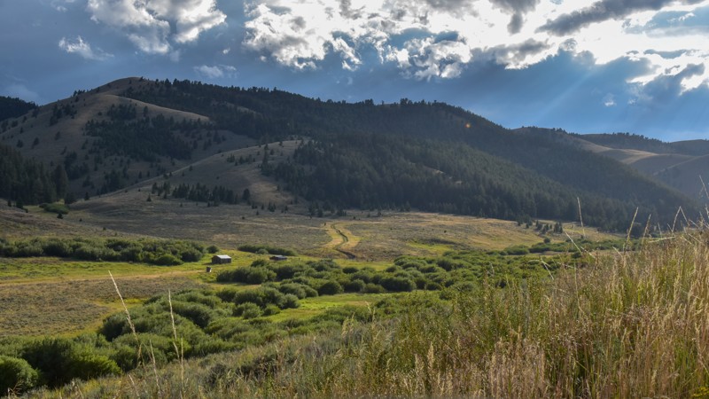
Wyoming Creek, FR 124, serves two primary purposes. First, it offers access to a few great campsites nestled along Wyoming Creek under the shade of the tall pines. However, its main allure lies in its role as a connector trail, leading down Thompson Hole Trail, FR363, to Sheep Falls along the Fall River (not to be confused with Sheep Falls on Trail 163 and Henrys Fork Snake River near Island Park) or a 1.5-mile hike from the trail's parking area down to the enchanting waterfalls. Be cautious of the blind turns and the low-hanging branches, as this is a popular trail for ATVs and side-by-sides.
Updated: 10/15/2024
Bannack Pass Road
Lima, Idaho
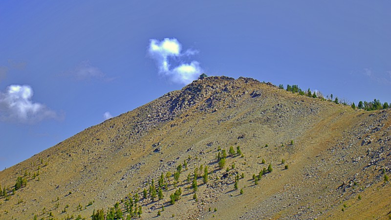
Bannack Pass is a short trail connecting Medicine Lodge Road in Idaho and South Medicine Lodge Road in Montana. Despite its utility, the scenery is gorgeous from end to end: rolling hills, optional spurs and trails, and old cabins.
While dispersed camping is allowed along most of the trail, there were no apparent sites along the main trail.
Updated: 10/15/2024
Pinyon Peak Lookout
Bonanza, Idaho
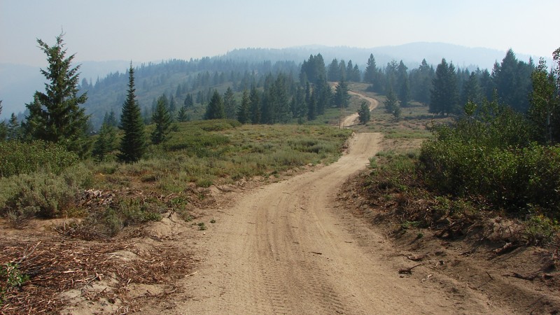
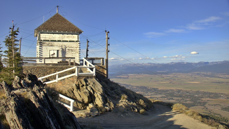
Perched atop the rugged Pinyon Peak, the Pinyon Peak Lookout offers an enchanting vantage point that immerses visitors in the pristine splendor of the natural world. Like a silent sentinel, this lookout tower transports you to a timeless realm where the marvels of nature extend beyond the distant horizon. The road is very narrow, with switchbacks and parking space for three vehicles at the most. There are no camping areas on this trail.
Elevated at an impressive 9,947 feet, the Pinyon Peak Lookout provides an unparalleled vista of the surrounding terrain. With its 360-degree views, you'll gaze upon the jagged peaks of the Salmon River Mountains reaching for the heavens, their rocky spires creating a breathtaking panorama. Below, an idyllic tapestry unfolds, featuring alpine lakes, luxuriant forests, and hidden valleys.
Beyond its scenic allure, the Pinyon Peak Lookout carries historical significance as a designated Heritage Site. Its legacy stretches back to as early as 1908, when it played a pivotal role in fire detection. The current lookout structure was erected in 1931. To this day, it stands as one of the longest-staffed lookout points in the Middle Fork district, faithfully continuing its duty as a functional fire detection outpost.
Updated: 10/15/2024
Bear Run - Pilot Peak
Idaho City, Idaho
Bear Run - Pilot Peak goes from Idaho City to FS 380 (Summit Flat). The south portion of the road is easy, with a sand and dirt surface. The north section changes to mostly dirt with occasional rocks and is narrower, steeper, and has a looser surface in many areas. Four-wheel drive is recommended for the north portion of the road but generally not required. The major hazards are limited sight distance, steep rocky climbs, and sometimes deep sand, which could pose a problem for motorcycles.
There are many areas with big, open vistas. Unfortunately, smoke in the air is common in this part of Idaho in the summer, so the views may be shortened and blurred. No designated campgrounds along Bear Run exist, but ample opportunities exist for dispersed camping.

Updated: 10/23/2023
Timber Flat 666A
Horseshoe Bend, Idaho
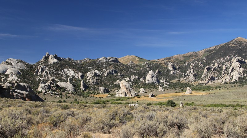
This trail is in the Boise National Forest, two hours north of Boise, Idaho. Sagehen Dam and Reservoir are just 1.3 miles to the east. The reservoir has four improved campgrounds, some are first come, first served, and others require a reservation. The lake is well known for its rainbow trout, so bring a fishing pole. The trail and entire area are in Idaho's hunting unit 32A, where you will be sharing your space with deer, elk, black bear, mountain lions, and wolves, to name a few. This trail is one of many spurs along the main Sagehen Road and is best described as a dispersed camping paradise nestled among the pines, fir, and spruce. Shrubs and grasses dotted with wildflowers fill in the non-forested areas.
Updated: 10/15/2024
City of Rocks Road
Almo, Idaho
City of Rocks Road is an easy trip through history and a maze of ancient granite spires thrust up through the earth's crust thousands of years ago. Numerous hiking trails spur off the road, leading deep into this geological wonderland with granite towers that are a rock climbers' mecca.
Between 1845 and 1869, the California Trail saw over 250,000 easterners moving westward in search of the promised riches of the California Gold Rush. The California Trail ran through what is now the City of Rocks National Reserve, where wagon ruts are still visible beside the road today. The emigrants named the place Pyramid Valley for the pointed spires surrounding the lush central valley, a favorite camping location along the trail. A few travelers even wrote their names in axle grease on Register Rock, many of which are still visible today.
Camping in the City of Rocks Reserve is limited to designated campsites, which must be reserved. Sites have fire pits and picnic tables and range from walk-in tent pads to large sites for small RVs or trailers. Site 16 has a fabulous view and can accommodate a larger vehicle or trailer. Nearby Smokey Mountain Campground sits in a large juniper and pinion forest, offering 38 campsites with RV hookups. The small town of Almo hosts the Visitor Center, a small general store with a gas pump, two restaurants, and numerous commercial campgrounds.
Updated: 05/01/2026
Sheep Falls Trailhead
Gerrit, Idaho
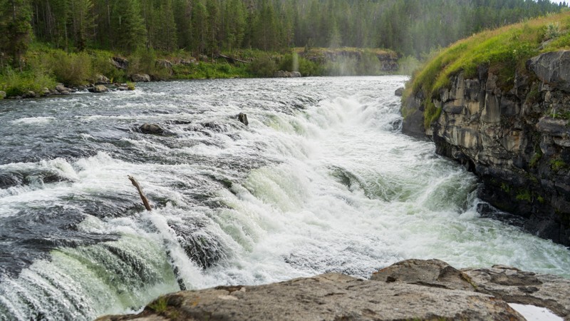
Sheep Falls Trailhead does precisely as the name suggests, guiding you from the Sheep Falls trail to the hiking trailhead for the namesake Sheep Falls. It is a bumpy dirt road with embedded rock patches at the end. 2WD will be fine, but if you have low clearance, you may want to be careful how you turn around here. A short 20-30 minute hike takes you to Sheep Falls, a beautiful waterfall on the Henry's Fork - Fall River. One small campsite was found along this short spur, but the Sheep Falls trail had numerous options.
Updated: 06/05/2022
Horn Creek
Banks, Idaho
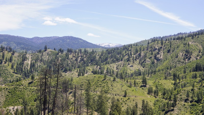
652 Horn Creek Trail is in the Boise National Forest, about 5 miles east of Garden Valley which is well known for its large herds of Elk. Loggers used this trail in the 1900s to get their timber to the mill in Horseshoe Bend. Running this trail in the early hours will reward you with views of the animals that call this forest home. Cougar, bear, elk, deer and maybe a wolf. Even on weekends, you won't see much traffic on this trail so camping near trails end will be quite secluded. If you're more into running water and a toilet, be sure and stay at the Hot Springs Campground for a real hot spring soak, and with the proper planning, you can enjoy the South Fork Payette River with rafting. A short drive south on Alder Creek Road brings you to Placerville, a ghost town from the 1800s. The area and trail offers you all the beauty you'd expect in an Idaho trail.
Updated: 10/15/2024
Mayfield Road
Mayfield, Idaho
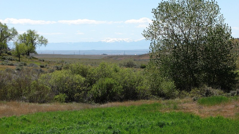
Mayfield Road is a delightful, well-maintained gravel road that runs along the base of the foothills between the Snake River Plain and the Sawtooth Mountains. Along the majority of the road there are rocky outcroppings where the harder rocks were left behind when the softer soils and rocks were eroded away. Many of the outcroppings are quite tall and relatively narrow and provide very interesting views of the local geology. Because Mayfield Road runs along the foothills, it crosses many small valleys and ravines, which makes for an interesting but easy drive that can be done in any vehicle.
Mayfield Road is part of the new Main Oregon Trail Backcountry Byway, which runs from Glenn’s Ferry, Idaho, on the Snake River to Bonneville Point outside of Boise. Several information displays at historically significant points along the road make it an interesting route for history buffs or anyone interested in the Oregon Trail and its history. More information on the Byway and the historical sites along Mayfield Road can be found on the internet with a simple Google search.
Much of the land along the road is private, and proper respect for private land is encouraged. One section of the road travels through the Boise River Wildlife Management Area where motorized travel off of the main road is not allowed. The rest of the road travels through BLM land, where dispersed camping is allowed; however, there are no particularly enticing places to do so. The west end of Mayfield Road can be accessed via Black’s Creek Road off of Interstate 84.
Updated: 11/20/2025
Menan Butte Road
Sage Junction, Idaho
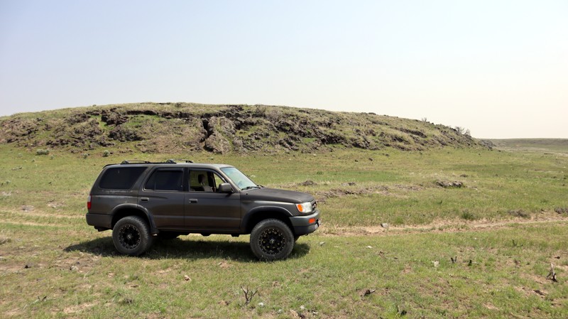
Menan (pronounced Me-nan) Butte Road is an easy dirt road named after the buttes to its west. It travels through the desert west of Rexburg, Idaho, with occasional easy obstacles. If you enjoy traveling through desert landscapes with the occasional extinct volcano, you'll love this trail.
Updated: 10/15/2024
Pipeline and Pipeline Service Road
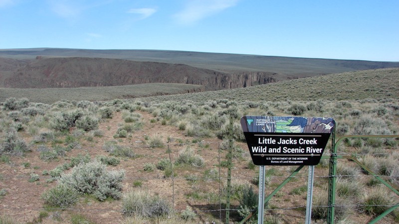
Bruneau, Idaho
The Owyhee Desert in southwest Idaho has five designated wilderness areas and at least one wilderness study area. The wilderness areas surround dramatic river canyons and protect them from development and ecological destruction. While it is not possible to drive in the Wilderness Areas, there are corridors and cherry stems that allow vehicle traffic on narrow corridors of non-wilderness into and sometimes through the wilderness. Cherry stems, in particular, allow you to drive across the sagebrush steppe and access the wonderful views of the river canyons and cliffs.
Part of Pipeline Road follows a corridor between Little Jack’s Creek Wilderness and Big Jack’s Creek Wilderness and includes one cherry stem going into each. The views of the canyons at the end of the cherry stems demonstrate the power and grace of Mother Nature at her finest! Pipeline Road also crosses large sections of the sagebrush steppe outside the wilderness areas.
Maps show Pipeline Road continuing south to and across the Owyhee River. At the south end of the route, the road runs into a reservoir. It is possible that the road going southeast from the southern point of the loop is underwater due to spring runoff and will become available for travel later in the season.
While much of Pipeline and Pipeline Service Road is easy, numerous more challenging areas make the road interesting to drive. The hardest part of this route is the western point of the loop, heading northeast onto the plateau. This short section is steep and with large, loose rocks. Once you enter this section, there is no opportunity to turn around. The best approach to this section is from the bottom by going clockwise around the loop. Before starting this section, you may want to walk it to determine if the driver and vehicle are up to the task. Return to the loop to exit the area if the road looks too intimidating.
Dispersed camping is allowed throughout the area. The ends of the cherry stems are interesting places to camp, but there are also numerous wide spots on the road for a camp.
Owyhee County in Southwest Idaho has over 5,000 square miles of desert, canyons, and mountains. There are no services in the entire area, and cell coverage is spotty. Being properly prepared for any contingency is a must. Because there are multitudes of crisscross trails, many of which look similar, a good navigation system, a backup system, and the knowledge to use them are a must.
Updated: 10/15/2024
No Business Lookout
Old Fort, Idaho
No Business, NF-51814, is a trail that leads you to the historic No Business Lookout, where you can behold breathtaking vistas of Cascade Reservoir, the charming towns of Cascade and Donnelly, and even catch a glimpse of the serene alpine beauty of Payette Lake in McCall. To the west, Council Mountain stands as a majestic presence, while to the east, the vast expanse of Long Valley unfolds before you. Venture to the FAA radar area, and you'll be treated to captivating views of the Wallowa Mountains and Seven Devils Range.
The trail narrows into a challenging jeep trail adorned with rocky terrain and gully washouts. Although no designated campsites are evident, convenient pull-off areas and spurs along the way provide opportunities for dispersed camping. Remember always to adhere to the principles of Leave No Trace.
No Business Mountain got its name from a Weiser sheepman in the 1900s who had a camp on the peak. His sheep herder was new at the business. A few days after he went to the hills, he showed up at headquarters. It seems a bear had disputed his right to the range. The sheep went in all directions. The herder hit for the town. "Too wild," he told his boss. "A sheep herder has no business on the mountain."
The history of No Business Lookout dates back to the 1920s when it began as a camp. In 1937, a remarkable two-story, 20x20' log and frame house was constructed on the site. However, in 1963, a faithful replica of the original structure took place. During the summer fire season, the lookout is diligently staffed and warmly welcomes visitors to share in its rich history and panoramic views.

Upgrade your Membership
Unlock all of the details on every Trail Guide and Scout Route.
Start a 7-day Free TrialBrowse Trails in Idaho by City
Browse every Idaho city with offroad trail guides.
Community
Partners

