



By clicking "ACCEPT", you agree to be the terms and conditions of each policy linked to above. You also agree to the storing of cookies on your device to facilitate the operation and functionality of our site, enhance and customize your user experience, and to analyze how our site is used.
Idaho Off-Road Trails
63
Total Trail Guides 60

644
Detailed Waypoints 302
Try a Free 7-Day Trial and unlock it all
Start a Free Trial Most Recent Trail Reviews
No Rating
Open
Visited: 09/19/2026
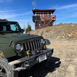
Fun drive, lots of dirt bikes and a few BDR Moto riders. Drove it in reverse direction.

Kim Richards
No Rating
Open
Visited: 09/19/2026
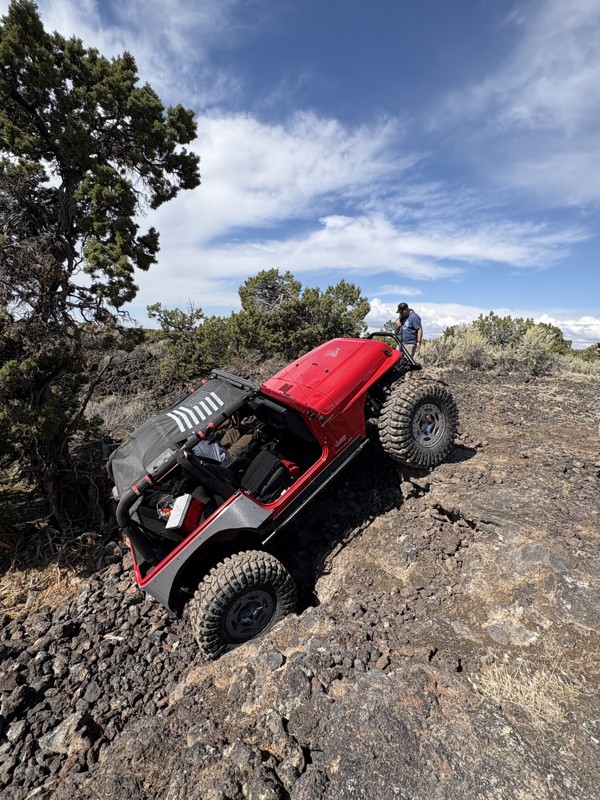
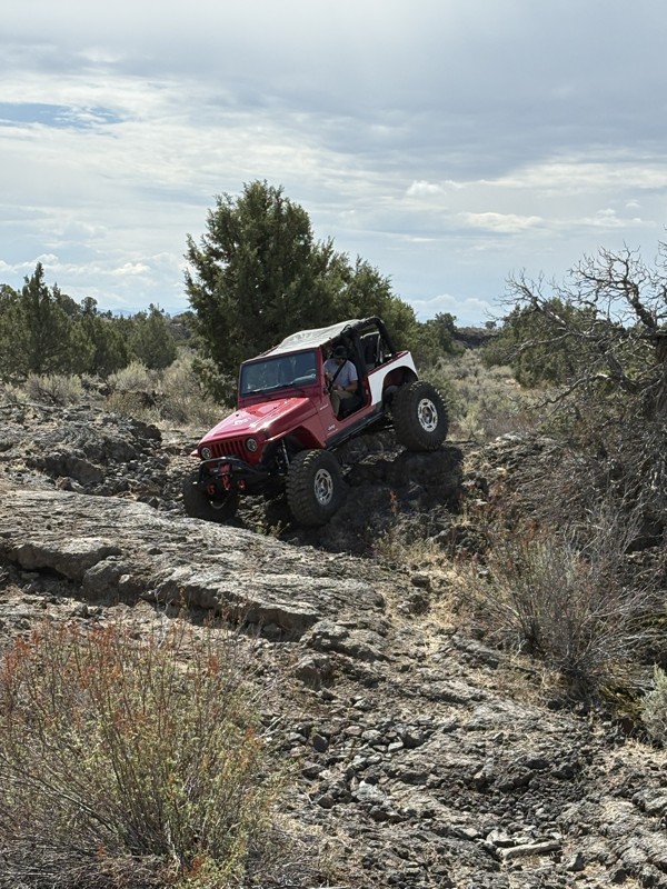
This trail was a great time. It is very unique, ive never been on a trail like it. the lava rock has plenty of traction and is pretty nasty on tires. But all in all I would recommend it to be done at ...
JP
Jared Pyne
Rated 3/5
Open
Visited: 09/15/2026
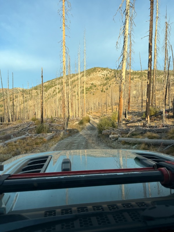
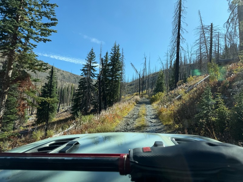
Trail consists of mostly narrow 2-track. Softball to soccer ball sized rocks. Slow going. Most of this forestland experienced fire in the past few years and is still recovering. Pulled a 9’ off-road t...
JH
Jason Holmes
No Rating
Open
Visited: 09/05/2026
Been going here for 57 years and the road keeps getting easier and easier. Sedans can make it.
BC
Bruce Chadwick
Rated 4/5
Open
Visited: 09/01/2026
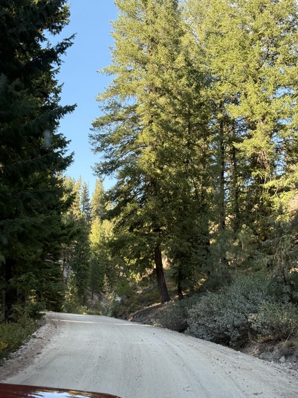
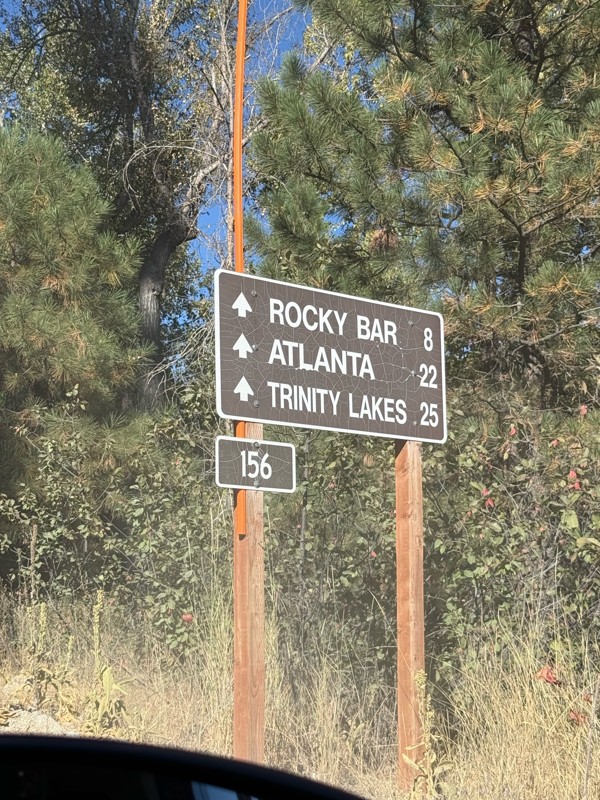
Easy trail that connects you to other great locations. Any vehicle could do this one.
PS
Paul Smith
Rated 4/5
Open
Visited: 09/01/2026
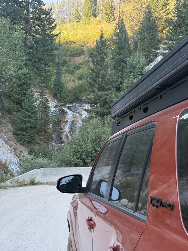
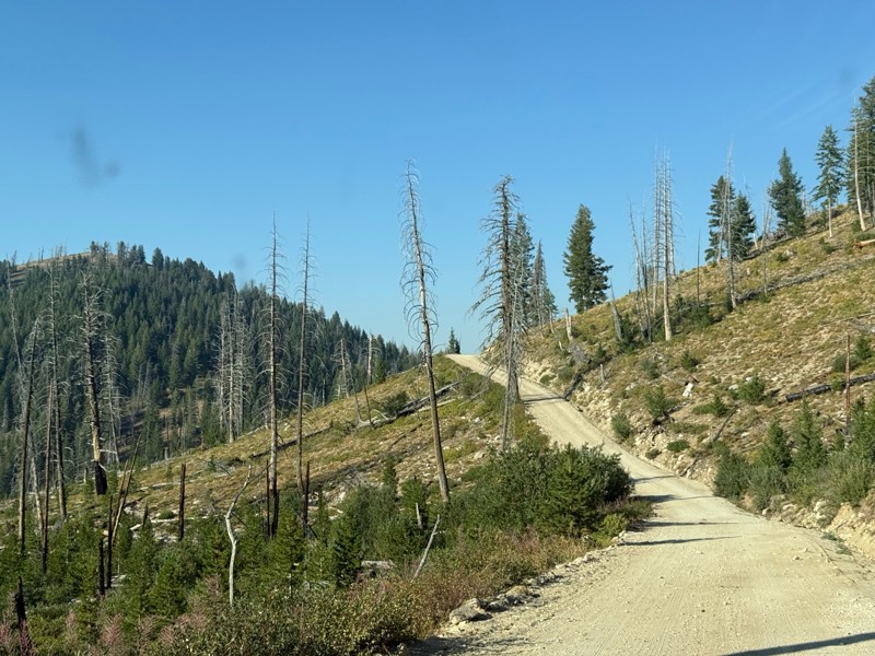
Pretty easy trail although there are some narrow spots along the way. Gets a bit bumpy and rocky as you head toward Atlanta but nothing difficult.
PS
Paul Smith
No Rating
Open
Visited: 09/01/2026
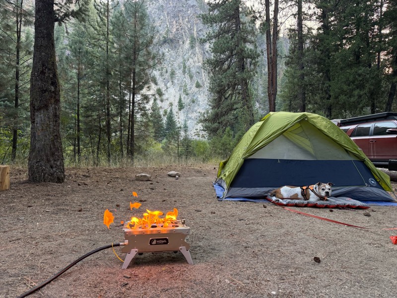
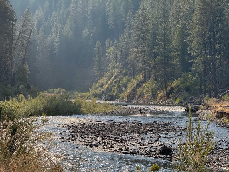
Beautiful and easy road. The smoke was wildfires was pretty bad but that can change. Any stock vehicle could do this at the moment. Campsites were all nearly empty which was a bonus.
PS
Paul Smith
Rated 3/5
Open
Visited: 08/22/2026
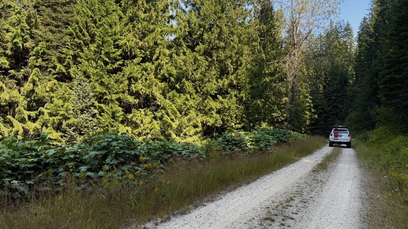
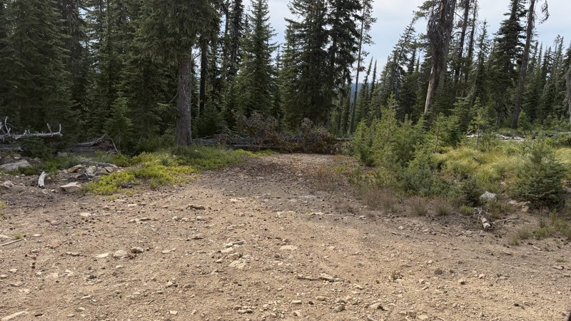
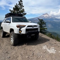
If it wasn't a very exciting trail, it still gets three stars because of how well-maintained it is. I can't even recall one single pothole the whole 4.5 miles. Otherwise, I was just using it as a conn...
Lorraine Bourget
Official Crew
Rated 3/5
Open
Visited: 08/22/2026
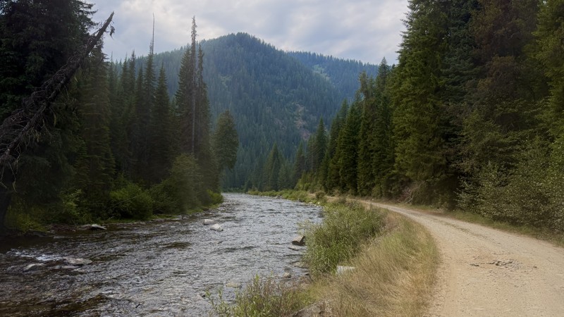
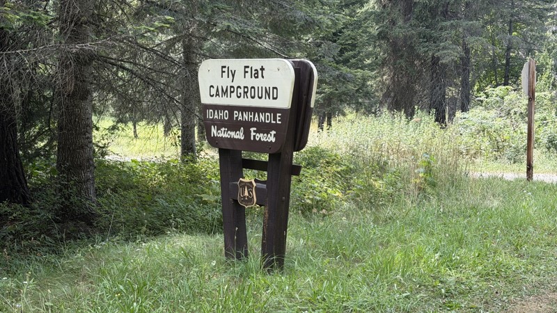
While it was a beautiful drive along the river, I'm rating this road 3 stars. Honestly, I planned my weekend around having the least amount of human contact possible but this section of my loop had ot...
Lorraine Bourget
Official Crew
Rated 5/5
Open
Visited: 08/22/2026
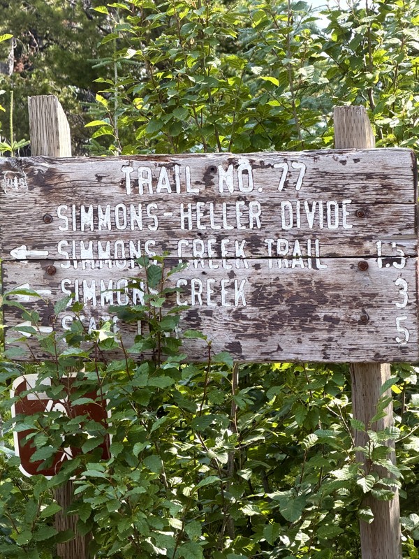
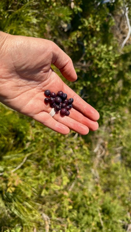
This trail holds a somewhat sentimental value to me. I randomly stumbled across it a couple of years ago when searching for somewhere to use my shower at the top of a mountain. Little did I know I wou...
Lorraine Bourget
Official Crew
Rated 4/5
Open
Visited: 08/21/2026
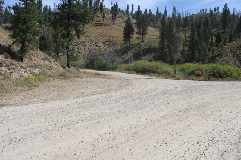
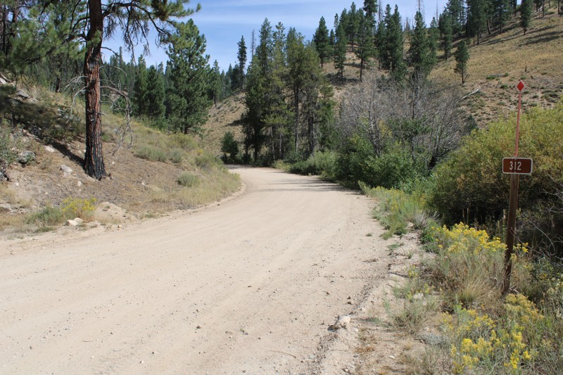
Pike's Fork Road is a spectacular drive into the heart of the Boise National Forest! One of the many dispersed campsites along its length makes an excellent destination for one night on a multi-night...

Bill Ward
Official Crew
Rated 5/5
Open
Visited: 08/16/2026
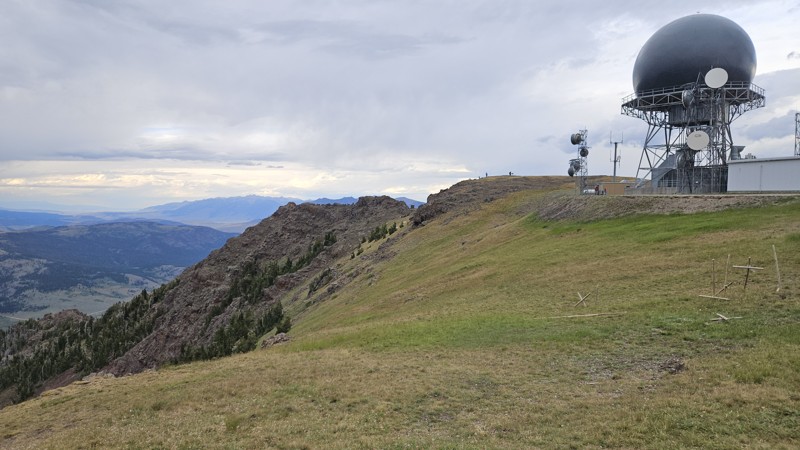
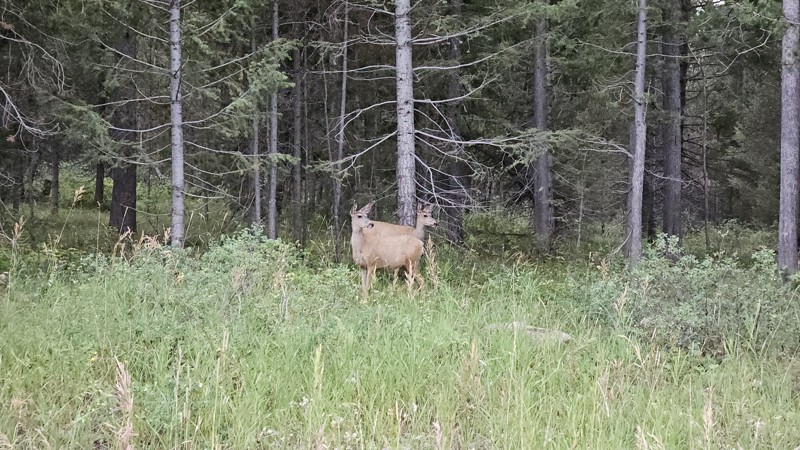
One person can give a group a bad name, especially in the side-by-side world, and that one was on the trail tonight like it was his private racetrack. Otherwise, a very peaceful and enjoyable drive. T...

Cory Wooldridge
Official Crew
Rated 5/5
Open
Visited: 08/11/2026
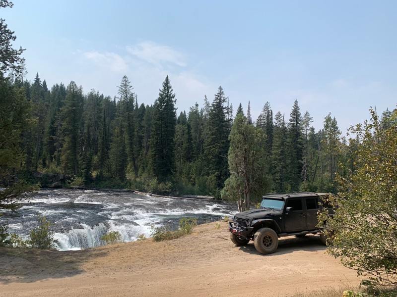
Great Jeep trail! Had fun running it and in pretty good shape. Dry and dusty with a few sections of rocks on decline/incline depending on what direction you’re going. No issues in my lifted Jeep. Not ...
JJ
Jill Jensen
No Rating
Open
Visited: 08/11/2026
Per the MVUM, the trail is seasonally open. As always, check current fire restrictions/closures before venturing out.

Trails Offroad
Official Crew
Open
Visited: 08/11/2026
Per the MVUM, the trail is seasonally open. As always, check current fire restrictions/closures before venturing out.
Trails Offroad
Official Crew
No Rating
Open
Visited: 08/11/2026
Per the MVUM, the trail is seasonally open. As always, check current fire restrictions/closures before venturing out.
Trails Offroad
Official Crew
No Rating
Open
Visited: 08/11/2026
Per the MVUM, the trail is seasonally open. As always, check current fire restrictions/closures before venturing out.
Trails Offroad
Official Crew
No Rating
Open
Visited: 08/11/2026
Per the MVUM, the trail is seasonally open. As always, check current fire restrictions/closures before venturing out.
Trails Offroad
Official Crew
No Rating
Open
Visited: 08/11/2026
Per the MVUM, the trail is seasonally open. As always, check current fire restrictions/closures before venturing out.

Todd
Official Crew
No Rating
Open
Visited: 08/11/2026
Per the MVUM, the trail is seasonally open. As always, check current fire restrictions/closures before venturing out.
Todd
Official Crew
No Rating
Open
Visited: 08/11/2026
Per the MVUM, the trail is seasonally open. As always, check current fire restrictions/closures before venturing out.
Todd
Official Crew
No Rating
Open
Visited: 08/11/2026
Per the MVUM, the trail is seasonally open. As always, check current fire restrictions/closures before venturing out.
Todd
Official Crew
No Rating
Open
Visited: 08/11/2026
Per the MVUM, the trail is seasonally open. As always, check current fire restrictions/closures before venturing out.
Todd
Official Crew
No Rating
Open
Visited: 08/11/2026
Per the MVUM, the trail is seasonally open. As always, check current fire restrictions/closures before venturing out.
Todd
Official Crew
No Rating
Open
Visited: 08/11/2026
Per the MVUM, the trail is seasonally open. As always, check current fire restrictions/closures before venturing out.
Todd
Official Crew
No Rating
Open
Visited: 08/11/2026
Per the MVUM, the trail is seasonally open. As always, check current fire restrictions/closures before venturing out.
Todd
Official Crew
No Rating
Open
Visited: 08/11/2026
Per the MVUM, the trail is seasonally open. As always, check current fire restrictions/closures before venturing out.
Todd
Official Crew
No Rating
Open
Visited: 08/11/2026
Per the MVUM, the trail is seasonally open. As always, check current fire restrictions/closures before venturing out.
Trails Offroad
Official Crew
No Rating
Open
Visited: 08/11/2026
Per the MVUM, the trail is seasonally open. As always, check current fire restrictions/closures before venturing out.
Trails Offroad
Official Crew
No Rating
Open
Visited: 08/11/2026
Per the MVUM, the trail is seasonally open. As always, check current fire restrictions/closures before venturing out.
Trails Offroad
Official Crew
No Rating
Open
Visited: 08/11/2026
Per the MVUM, the trail is seasonally open. As always, check current fire restrictions/closures before venturing out.
Trails Offroad
Official Crew
No Rating
Open
Visited: 08/11/2026
Per the MVUM, the trail is seasonally open. As always, check current fire restrictions/closures before venturing out.
Trails Offroad
Official Crew
No Rating
Open
Visited: 08/11/2026
Per the MVUM, the trail is seasonally open. As always, check current fire restrictions/closures before venturing out.
Trails Offroad
Official Crew
No Rating
Open
Visited: 08/11/2026
Per the MVUM, the trail is seasonally open. As always, check current fire restrictions/closures before venturing out.
Trails Offroad
Official Crew
No Rating
Open
Visited: 08/11/2026
Per the MVUM, the trail is seasonally open. As always, check current fire restrictions/closures before venturing out.
Trails Offroad
Official Crew
No Rating
Open
Visited: 08/11/2026
Per the MVUM, the trail is seasonally open. As always, check current fire restrictions/closures before venturing out.
Trails Offroad
Official Crew
No Rating
Open
Visited: 08/11/2026
Per the MVUM, the trail is seasonally open. As always, check current fire restrictions/closures before venturing out.
Trails Offroad
Official Crew
No Rating
Open
Visited: 08/11/2026
Per the MVUM, the trail is seasonally open. As always, check current fire restrictions/closures before venturing out.
Trails Offroad
Official Crew
No Rating
Open
Visited: 08/11/2026
Per the MVUM, the trail is seasonally open. As always, check current fire restrictions/closures before venturing out.
Trails Offroad
Official Crew
No Rating
Open
Visited: 08/11/2026
Per the MVUM, the trail is seasonally open. As always, check current fire restrictions/closures before venturing out.
Trails Offroad
Official Crew
No Rating
Open
Visited: 08/11/2026
Per the MVUM, the trail is seasonally open. As always, check current fire restrictions/closures before venturing out.
Trails Offroad
Official Crew
No Rating
Open
Visited: 08/11/2026
Per the MVUM, the trail is seasonally open. As always, check current fire restrictions/closures before venturing out.
Trails Offroad
Official Crew
No Rating
Open
Visited: 08/11/2026
Per the MVUM, the trail is seasonally open. As always, check current fire restrictions/closures before venturing out.
Trails Offroad
Official Crew
No Rating
Open
Visited: 08/11/2026
Per the MVUM, the trail is seasonally open. As always, check current fire restrictions/closures before venturing out.
Trails Offroad
Official Crew
No Rating
Open
Visited: 08/11/2026
Per the MVUM, the trail is seasonally open. As always, check current fire restrictions/closures before venturing out.
Trails Offroad
Official Crew
No Rating
Open
Visited: 08/11/2026
Per the MVUM, the trail is seasonally open. As always, check current fire restrictions/closures before venturing out.
Trails Offroad
Official Crew
No Rating
Open
Visited: 08/11/2026
Per the MVUM, the trail is seasonally open. As always, check current fire restrictions/closures before venturing out.
Trails Offroad
Official Crew
No Rating
Open
Visited: 08/11/2026
Per the MVUM, the trail is seasonally open. As always, check current fire restrictions/closures before venturing out.
Trails Offroad
Official Crew
No Rating
Open
Visited: 08/11/2026
Per the MVUM, the trail is seasonally open. As always, check current fire restrictions/closures before venturing out.
Trails Offroad
Official Crew
No Rating
Open
Visited: 08/11/2026
Per the MVUM, the trail is seasonally open. As always, check current fire restrictions/closures before venturing out.
Trails Offroad
Official Crew
Most Popular

Updated: 10/15/2024
059
Big Springs, Idaho
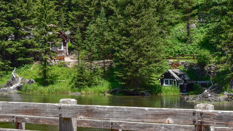
Big Springs Loop is a popular trail that takes you to the historic Johnny Sack Cabin, a charming structure built around the turn of the 20th century. Below the cabin sits Big Springs, known for its crystal clear water and constant flow of pristine spring water. The cabin offers a fascinating glimpse into the area's rich history, while an old shed with a water wheel showcases the early power sources of the region. Improved campgrounds near the cabin and springs provide convenient resting spots. The bridge is a favorite spot for visitors to observe and feed the impressive fish below.
Updated: 08/12/2025
Basin Creek
Lemhi, Idaho
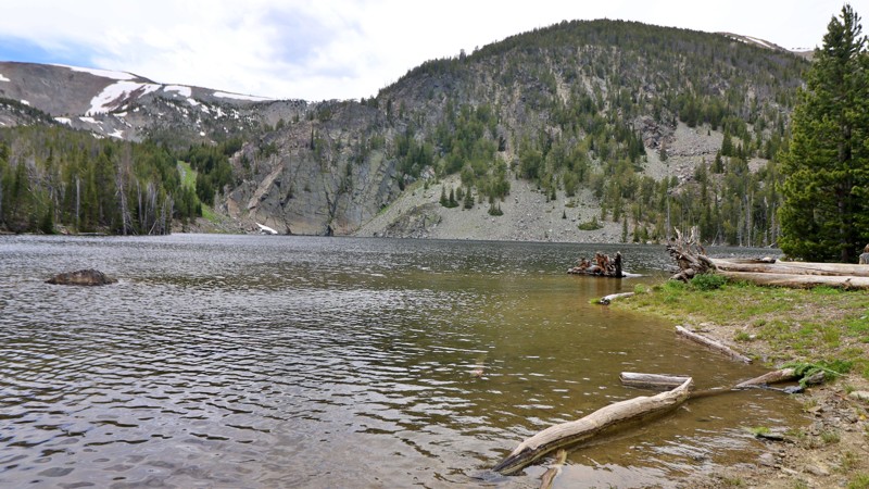
Basin Creek Road winds its way through the foothills of the Lemhi Range, gradually climbing into a rugged alpine basin where adventure and solitude await. This dirt and gravel road is generally passable by most passenger vehicles up to the Basin Lake Jeep Trailhead. From there, things get a bit more serious, beyond the gate, the route transforms into a steep, rocky Jeep trail that demands a high-clearance 4WD rig and some off-road confidence. The reward? Absolutely worth it.
As you bounce your way higher into the mountains, the scenery unfolds in dramatic fashion. The surrounding ridgelines dominate the horizon, while wildflowers and alpine pines line the trail. The final stretch leads you to Basin Lake, also known as Basin Creek Lake, a quiet 13.5-acre alpine reservoir sitting at nearly 8,900 feet elevation. Cradled in a mountain bowl and fed by the waters of Basin Creek, this secluded lake is a hidden gem for anglers and backcountry campers alike.
The lake is regularly stocked with Westslope Cutthroat Trout fry, making it a worthwhile destination for those looking to cast a line in clear, cold water. Dispersed campsites are tucked around the lake, with one particularly scenic site located near an old, weathered homestead that is silent and slowly being reclaimed by nature, adding a nostalgic touch to an already remote setting.
Whether you’re looking for a rugged 4x4 challenge, a quiet fishing spot, or just a place to disconnect and breathe in crisp mountain air, the road to Basin Lake delivers all the ingredients for an unforgettable high-country escape.
Updated: 06/05/2022
Gravel Pit Spur
Banks, Idaho
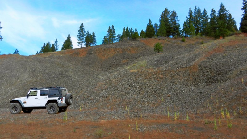
Grab the family and enjoy your time together in the great outdoors of southwestern Idaho! Gravel Pit Spur is in the Boise National Forest and gives you a great reminder of why all spur trails are worth exploring! This one is a jewel for dispersed camping. You could take your entire extended family or your entire neighborhood camping on this trail with its larger than normal-sized sites.
Updated: 06/05/2022
Mica Dome
Garden Valley, Idaho
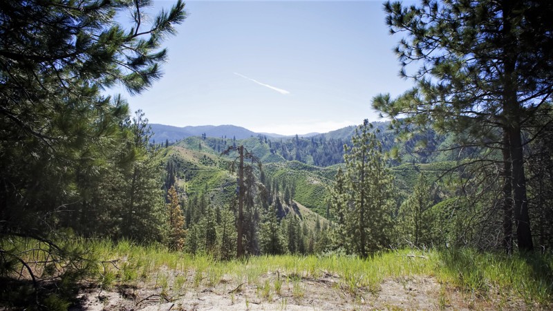
Mica Dome is located in the beautiful and diverse Boise National Forest. The forest offers skiing, hiking, camping, fishing, boating, and hunting, to name a few activities. This trail is on a short ridge running north towards the south fork of the Payette River. This area was known for mica mining in the early 1900s, and both trails you'll travel through to get here are still actively mined for gold with evidence of claims posted along Wash Creek, and Horn Creek.
Updated: 10/15/2024
Upper Deadline Ridge Road
Rock Creek, Idaho
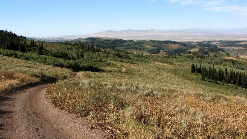
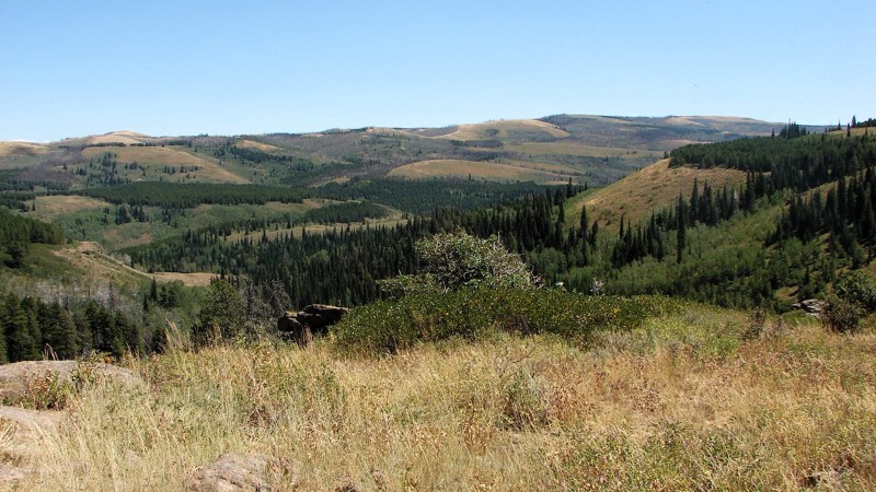
Upper Deadline Ridge Road, FS 647, runs along the top of Deadline Ridge from Oakley Rogerson Road to Deadline Ridge Road. It is quite rocky and requires relatively high clearance. Four-wheel drive is recommended due to the loose rocks on reasonably steep climbs. Because the road runs along the top of a ridge, the views and scenery are spectacular, with almost continuous opportunities for big, expansive views! The combination of aspens, pines, firs, and open grassy areas makes for an attractive combination of colors that adds to the area's beauty. Dispersed camping is allowed along Upper Deadline Ridge Road, but there are no obvious spots where people have previously camped.
Legend has it that the ridge was named after a deadly confrontation between cattle ranchers and sheep herders around 1900. The area is still open to grazing for both critters, so care needs to be taken to avoid them. There are also deer, elk, and some moose in the area that the watchful explorer might be able to see.
Updated: 10/15/2024
Deadline Ridge Road
Idavada, Idaho
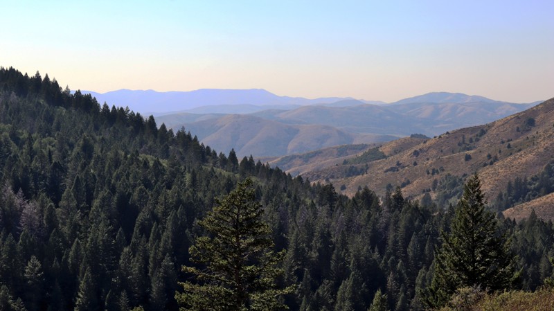
Deadline Ridge Road goes from the south end of Winecup Road north to the Diamondfield Jack Snow Play Area. The south five miles starts below the ridge and climbs up to the top, where it continues as a rough, rocky road up to the north turnoff to Winecup Road. From there, it follows the ridge to Upper Deadline Ridge Road before dropping down and running along the side of the hill. It is somewhat confusing as Upper Deadline Ridge Road follows Deadline Ridge and is signed that way. You should have good tires and moderate ground clearance south of Winecup Road. North of Winecup Road is suitable for any vehicle. Four-wheel drive is not required but may be helpful on some of the steeper, rougher sections to the south.
Dispersed camping is allowed, and campsites can sometimes be found by following small, unmarked roads to either side of the main road. Sometimes, these roads go a short distance into the trees and end at a secluded dispersed campsite.
The best features of Deadline Ridge Road are the dramatic views heightened by the color contrasts between the deep green of the pines and firs, the softer green of the aspens, the gray-green of the sagebrush, and the tans and browns of the open grassy areas. When following the top of the ridge, the views are spectacular!
Updated: 08/11/2026
Divide
Pebble, Idaho
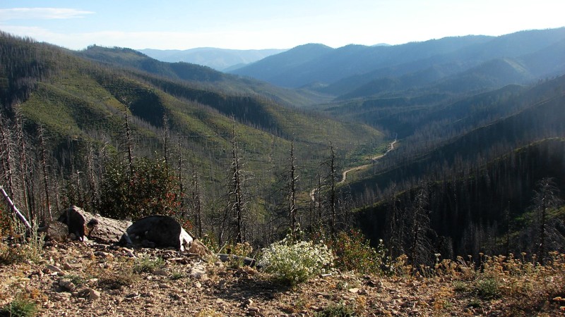
Creating a connector between Inman Canyon and Big Springs campground, FS013 is a long, windy forest road traveling through the thick pines of the Caribou National Forest. This road can be dusty in places and get rather bumpy over time between maintenance. However, the road is easy and suitable for almost any vehicle with decent ground clearance. There are sharp curves and occasional shelf roads with steep drop-offs, so users are cautioned to take their time. This trail offers fantastic dispersed camping options that can be found along the entire length of the trail.
Updated: 08/11/2026
Lowman Bear Valley Road
Lowman, Idaho
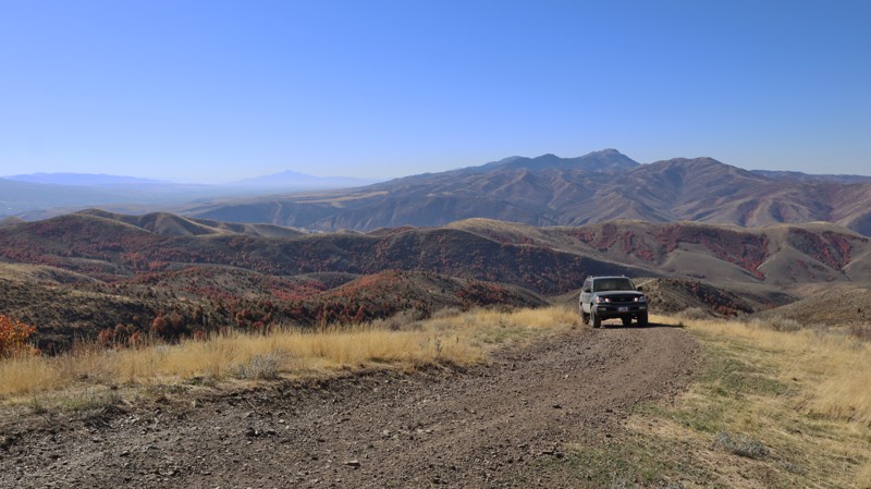
The Bear Valley Road is a well-maintained, mostly two-lane, gravel road going from Lowman, Idaho, to Bear Valley Campground. Other than some mostly annoying (but seldom serious) potholes and washboards, it is an easy drive suitable for any vehicle. The road climbs up and over Clear Creek Summit and then descends into Bear Valley, where it follows along Bear Valley Creek, which is a delightful, clear, mountain stream.
Camping is allowed in designated dispersed sites only, most of which are on the southern end of the road. Additionally, several improved campgrounds can be found in the area, such as Park Creek Campground on the south end and Bear Valley Campground, just west of the northern end. Campground sites charge a nightly fee and are mostly equipped with tables and fire rings. Pit toilets are also available.
Updated: 08/11/2026
Blackrock Canyon East
Blackrock, Idaho
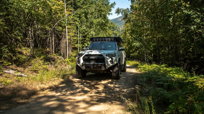
As the primary entrance into the Chinese Peak-Blackrock Trail System, Trail 3113 is a popular trail with multiple staging areas, picnic areas, campsites, and bathrooms. The trail leads up to a peak along the east side of the trail system and intersects with trail 0319, where you could continue over to 0302 to make a full loop. This hardpacked dirt trail is not challenging, but high clearance and low range will come in handy to manage the uneven areas of the road and steep climbs. Near the top of the ridge are a few additional dispersed campsites that offer nice views.
This is a popular trail system for all user types, as there are over 40 miles of trails for motorized, equestrian, mountain biking, and hiking users. The trail system is seasonally closed from November 16th to April 15th each year.
Updated: 10/09/2025
Jeru Creek
Mc Arthur, Idaho
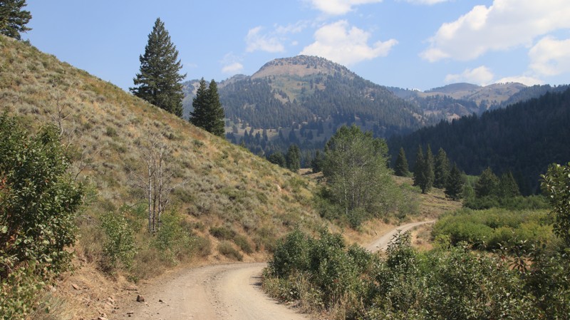
Jeru Creek is a short but technical trail that requires a vehicle with clearance and at least a set of all-terrain tires. Airing down is recommended to handle the loose rocks, steep inclines, and tight switchbacks that can make traction tricky. The trail is narrow overall, though there are a few pullouts wide enough for passing vehicles. Along the way you’ll run into large dips, moderately rocky stretches, and a shallow water crossing that can get a little deeper during the wetter months.
There aren’t many spots for camping here, just a small pullout with a fire ring that has room for one vehicle. Keep in mind this pullout is right on the trail so you won't get any privacy.
Jeru Creek connects with several other trails in the area and makes a good option for either heading up or down from Pack River, giving you a different perspective depending on the direction you take.
Updated: 08/11/2026
Corral Creek
Sun Valley, Idaho
Situated just outside beautiful Ketchum, Caorral Creek climbs gently along its namesake watercourse to a hiking trailhead with a vault toilet. Along the way are a variety of designated campsites of various sizes, some close to the water, others with shade. Small RVs and camper trailers will fit in the larger ones, and ground tents and small rigs will easily fit in all. Camping is only allowed at designated sites.
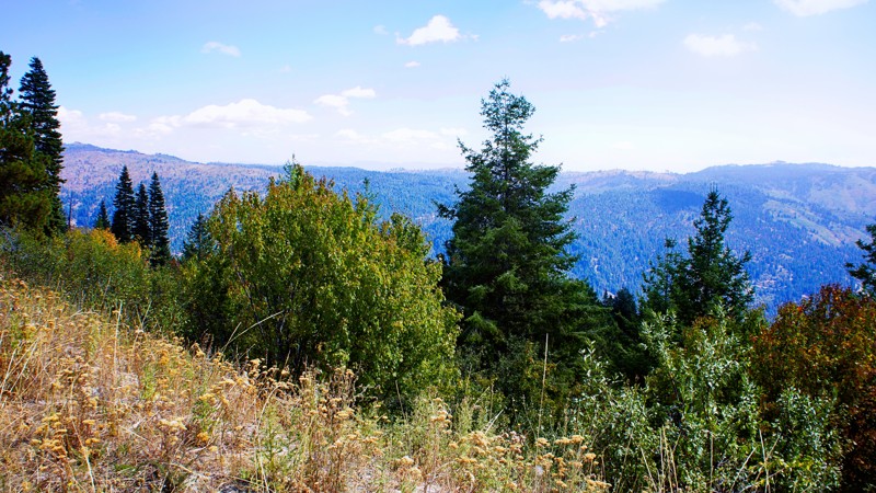
This road offers superb views of Hardwerk Peak, Salzburg Spitzl, and the Devil's Bedstead. The narrow road is maintained but washboarded, with adequate pullouts for passing oncoming traffic.
The hiking trail at the road's end climbs up to Pioneer Cabin.
Updated: 06/05/2022
Spur 643L
Banks, Idaho
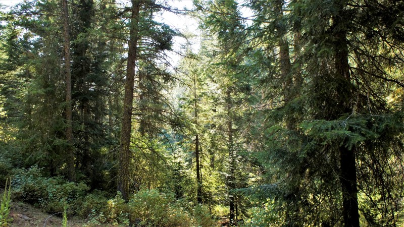
This beautiful spur trail know as 643L Spur is really out in the woods! People ask which is more important, the journey or the destination? In the case of this trail, it's both! You'll pass through miles of lush valleys and meadows with ranches dating back to the 1800s. From the trailhead, your short travel will take you eastward to the open expanse of the Payette River Canyon below. Your destination will be one of the largest dispersed campsites you've ever seen. Be sure to invite your wheeling friends along to have a weekend, or longer, that you won't soon forget.
Updated: 06/05/2022
Timber Flat 666C
Horseshoe Bend, Idaho
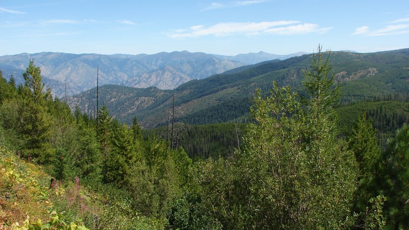
666C Timber Flat is a spur trail off of Timber Flat in the Boise National Forest, two hours north of Boise, Idaho. Sagehen Dam and Reservoir are just 2.5 miles to the east with four improved campgrounds. Some of the campgrounds are first come first served while others require a reservation. The lake is well known for its rainbow trout, so bring a fishing pole. The trail and its surrounding area are in Idaho's hunting unit 32A where you will be sharing your space with deer, elk, black bear, mountain lions, and wolves, just to name a few of the forest's residents. This trail is one of many spurs along the main Sagehen Road and is best described as a dispersed camping paradise nestled among the pines, fir, and spruce. Shrubs and grasses dotted with wildflowers fill in the non-forested areas.
The Kyaott Trail System trailhead is just south of this trails trailhead and is an extensive trail network around the Sagehen area for ATV's, motorcycles, hikers, and horseback.
Updated: 09/04/2025
Burgdorf-French Creek
Burgdorf, Idaho
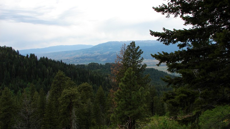
Burgdorf-French Creek Road is a well-maintained, one to two-lane gravel road suitable for any vehicle with reasonable ground clearance. The south part of the road, up on top, is a straightforward drive with the most significant hazard being dust. Once one starts down the grade, the road narrows to one lane with pullouts, and the most significant hazard becomes the switchbacks and blind curves. There are some minor washouts on the steeper slopes, and occasionally washboards and potholes.
There are several campsites along the upper section, and dispersed camping is available. However, once one starts down French Grade, the opportunities for camping become quite scarce.
Updated: 10/15/2024
Cottonwood Road
Glendale, Idaho
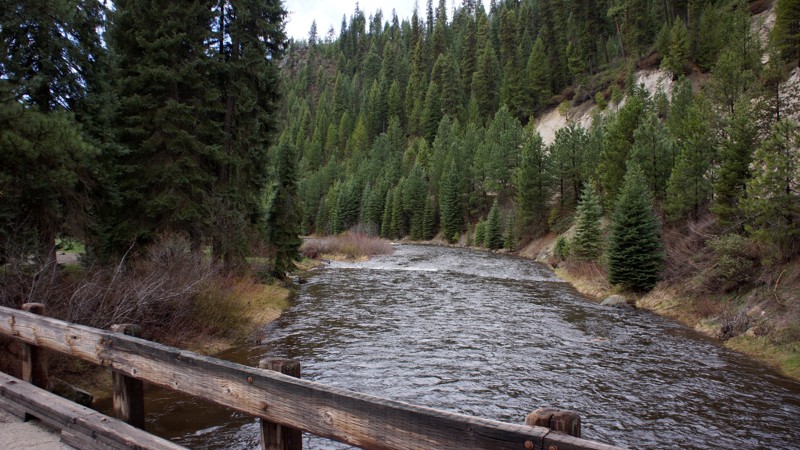
Cottonwood Road is an off-pavement alternative to Highway 95, bypassing Council, Idaho. The road travels along good gravel roads and is accessed on the north from Highway 95 via Mill Creek Road and on the south directly from Highway 95. Cottonwood Road is a well-maintained, one-and-a-half to two-lane gravel road that is easy to drive with any vehicle. The major hazards are blind curves, moderate washboards, and dust when it’s dry. Most of the road is in deep forest with minimal views. Towards the southern part of the road, the trees open up some, and big views become possible. Much of this area was burned in past years, so the view sometimes includes dead, burned trees. Particularly in burned areas, it is possible for trees to fall across the road; you should be prepared to remove the down trees or turn around and go back the way you came in if the road is blocked. Dispersed camping is allowed along the public portions of the road, but care should be taken to avoid camping on private land along parts of the southern section of the road.
Updated: 10/15/2024
Bridge Creek
Alpha, Idaho
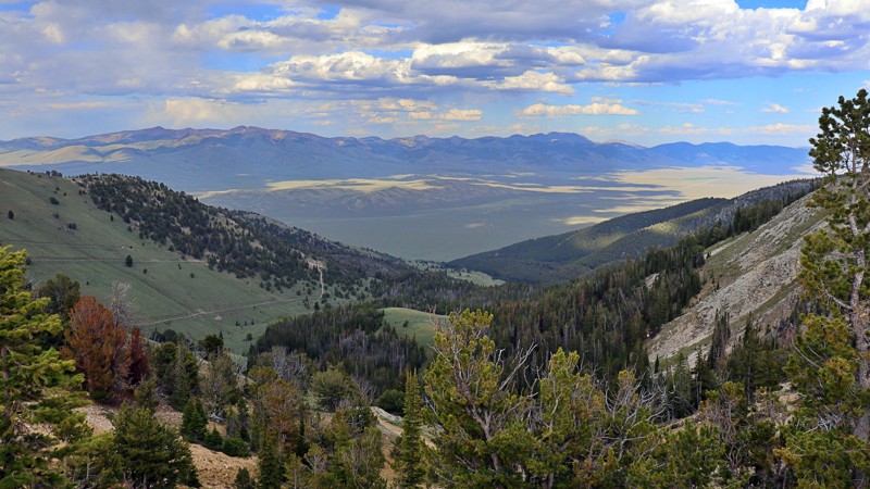
Bridge Creek is located in the beautiful Boise National Forest with dispersed campsites along the middle fork of the Payette River. The trail is fairly steep, rising 1500 feet over the first 4 miles.
Updated: 08/11/2025
Quartzite Canyon
Hahn, Idaho
Quartzite Canyon Road serves as the rugged middle stretch between Spring Mountain Road and Weda’s Naokwaide, forming part of the only motorized vehicle route that fully crosses the Lemhi Range. It’s the roughest leg of the journey, and it lets you know it right away.
The trail is a steep, narrow shelf road carved into a ridge, where soccer-to basketball-sized loose and embedded rocks demand careful tire placement and the use of 4LO. This trail is a slow crawl, best suited for a high clearance vehicle, but one well worth the effort. As you climb, sweeping views open to dense forests, high mountain meadows, and distant silhouettes of Spring Mountain and Big Windy Peak stretch across the horizon.
The terrain may be rough, but it’s packed with beauty. Along the way, there is a solid dispersed campsite marked by a stone fire ring, with a few side turnoffs that looked like they could easily hide secluded gems of their own. If you're up for a bit of a challenge and want to see the Lemhi’s at their raw and wild best, this is the trail that delivers.
Updated: 07/21/2026
State Section Access
Gerrit, Idaho
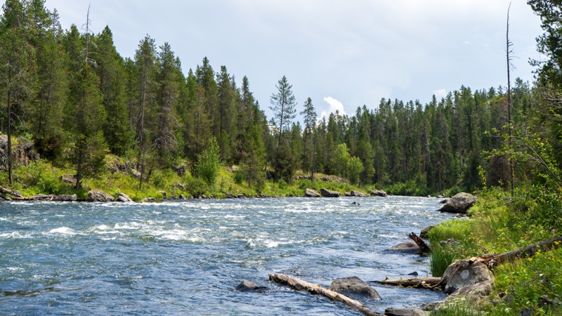
Despite its unassuming and random name, this trail is sure to please with its mild obstacles and camping on the river. This trail requires 4WD for the average user, with rocks and ruts causing a workout for your vehicle's suspension. Mud puddles are frequent, especially after the passing monsoonal moisture, although never more than around a foot deep. The camping at the end is of the premium variety, offering 2-3 vehicles a secluded site right on the Henry's Fork.
Updated: 10/15/2024
Wagontown Road
Featherville, Idaho
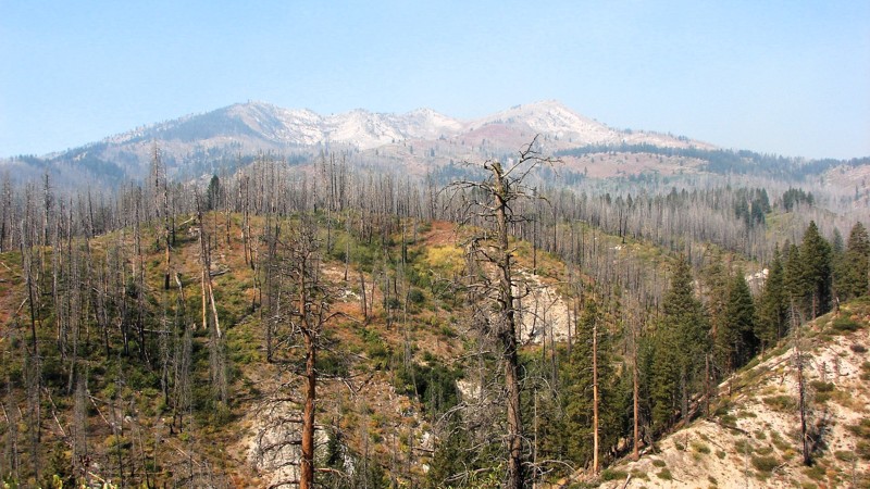
Wagontown Road is a minimally maintained gravel road going from the Featherville snow parking area to Trinity Creek Road, FS 172. It is mostly a narrow, windy, shelf road with limited sight distances for much of its length. A four-wheel drive is unnecessary, but moderate ground clearance is required due to rocky patches and minor washouts. The road is overgrown with brush in places, and some pinstriping can be expected.
Driving up from Featherville, the road is enclosed by dense forest with limited extensive views. About halfway along the road, things open up, and the views become big and expansive. Unfortunately, in this part of Idaho, the air is often smokey from local wildfires, and the bigger views are often hazy.
There are no campgrounds along Wagontown Road, but ample dispersed camping spots can be found. Archery hunting season is in early September, and most better-dispersed sites will be taken.
Updated: 08/11/2025
Bumblebee Creek Road
Linfor, Idaho
Bumblebee Creek Road goes from Little North Fork Road to Stull Saddle. The first half mile goes past a Forest Service Campground and is paved. This route starts where the pavement ends. Like many roads in this area, Bumblebee Creek Road is quite rocky in places, with numerous small potholes and a few minor ruts and washouts. It is a single-lane gravel road with ample pullouts for passing and stopping to take in the view. It can be driven with any vehicle with moderate ground clearance.
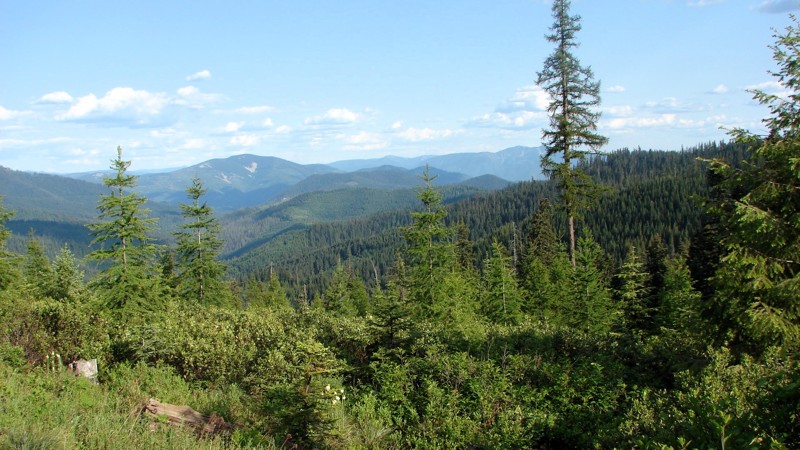
While much of the road travels through dense forest, there are plenty of areas clear enough to enjoy the expansive views of the Panhandle National Forest, particularly once one climbs up the road to the top of the ridge. Dispersed camping is permitted, and several established dispersed sites are available. There is also a nice Forest Service campground at the south end of the road near Little North Fork Road.
Updated: 06/05/2022
Old West Fork Scriver Creek
Garden Valley, Idaho
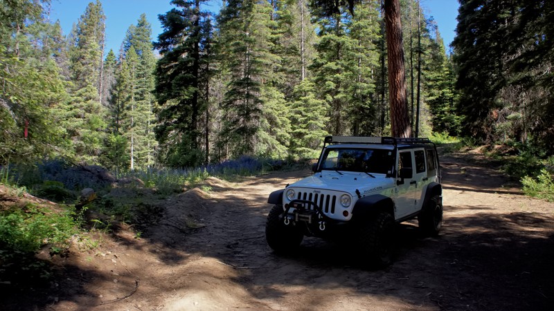
The beauty of southwestern Idaho is second to none, with hundreds of off-road trails available for exploration. You'll pass through the town of Crouch to get to the trailhead, a population of less than 200 with a couple of restaurants, a market, and a hardware store. Crouch is a hub for trails like this one, plus whitewater rafting and kayaking on the south fork of the Payette River. You'll share this trail with other 4-bys, plus side x sides, motorcycles, elk, and deer.
Updated: 08/11/2025
Spring Mountain
Hahn, Idaho
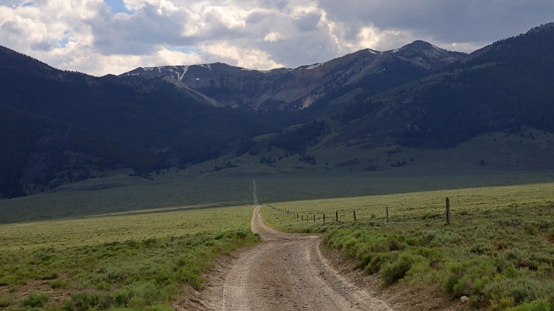
Spring Mountain Road traces a rugged trail along the eastern slopes of Idaho’s Lemhi Range, weaving through a landscape steeped in mining history and mountain solitude. Just south of the old Texas Mining District, this remote route climbs into high-country terrain once bustling with the noise of pickaxes, ore carts, and dreams of fortune. In the early 1880s, rich lead-silver deposits were discovered here, sparking the rise of the Spring Mountain Mine, better known as the Big Windy, perched at a lofty 10,000 feet on the Lost River side of the range.
As you ascend the graded dirt road, you'll pass side routes leading to the historic mining townsite of Hahn and through Horseshoe Gulch, where rusted relics still rest quietly in the sagebrush, telling silent tales of a forgotten era. The views grow more dramatic with each turn, revealing sweeping vistas toward Big Windy Peak. A single dispersed campsite appears just off the trail, marked by a weathered rock fire ring. This is an inviting spot for those seeking solitude under the stars.
Carved initially by miners, this road once connected to the Spring Mountain Mine complex, a conjoined operation of the Elizabeth and Teddy mines. At the head of Spring Mountain Canyon, remnants of an old aerial tramway still cling to the cliffs, a skeletal trace of the ingenuity that once powered this remote mining enterprise.
In October 2023, the Forest Service installed a permanent gate on the west end of the road near the junction with Quartzite Canyon Road, closing off vehicle access to the upper reaches of the trail. From here, Quartzite Canyon Road continues westward, guiding across the heart of the Lemhi Range before descending into the vast and windswept Pahsimeroi Valley.
Updated: 10/15/2024
Harrison/Wild Horse Road
Castle Rocks, Idaho
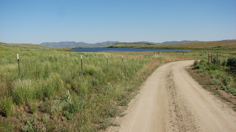
Harrison/Wild Horse Road is an interesting bypass for about 12 miles of Highway 20 that gets one off the pavement and onto a good gravel road with interesting scenery. The east end of the road is signed as Harrison Road, while the west end is signed as Wild Horse Road—but it’s one road. The east end is directly off Highway 20, while the west end terminates on E. High Prairie Road. The road is generally maintained gravel and can be driven by almost any vehicle.
Starting on the east end, the road is a good, two-lane, gravel road going straight through farming country. About a third of the way in, the road degrades to a single-lane gravel and dirt road winding through the foothills and sagebrush steppe. Some parts of the steppe are in excellent, near-native condition, while others appear to have been heavily grazed, making for an interesting contrast showing the effects of grazing.
Most of the road is through private property, so there are no good spots to camp.
Updated: 08/11/2025
South Fork Worthing
Blue Dome, Idaho
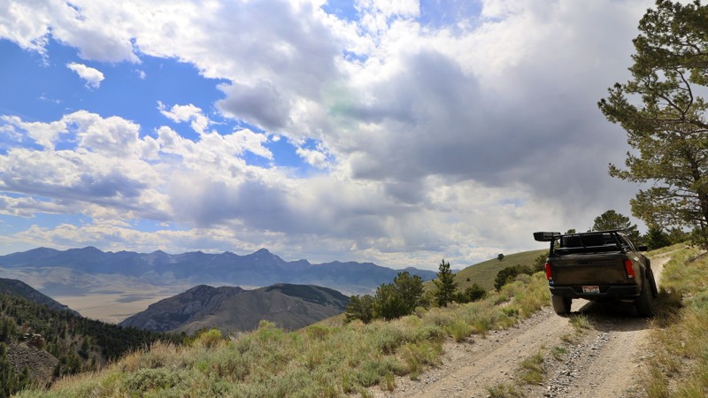
Tucked into the rugged wilds of Clark County, South Fork Worthing Canyon is a surprisingly scenic backcountry gem that deserves more attention. This mellow, high-elevation route feels like Idaho’s version of a high-country cruise. Rolling grassy hills unfold above the vast Lemhi Valley, with wide-open skies and panoramic views that stretch to the far edges of the Lemhi Range.
Climbing to around 8,638 feet, this offroad trail can be accessed from either O’Brien Gulch or the historic Skull Mine, making it a perfect loop in tandem with a Skull Canyon run. The road itself is an easygoing shelf cut into steep, exposed terrain. It is simple enough to drive, but with enough edge exposure to flutter your stomach if heights aren’t your thing. The drama isn’t in technical challenge, but in the scale: long, sweeping ridgelines, sagebrush knolls, and the quiet that reminds you just how far off the beaten path you are.
Though visible campsites are absent, several spurs invite you to pull in and find dispersed camping options with commanding views of the mountains and valleys below. These are perfect for those seeking solitude under Idaho’s big sky.

Upgrade your Membership
Unlock all of the details on every Trail Guide and Scout Route.
Start a 7-day Free TrialBrowse Trails in Idaho by City
Browse every Idaho city with offroad trail guides.
Community
Partners

