



By clicking "ACCEPT", you agree to be the terms and conditions of each policy linked to above. You also agree to the storing of cookies on your device to facilitate the operation and functionality of our site, enhance and customize your user experience, and to analyze how our site is used.
South Dakota Off-Road Trails
11
Total Trail Guides 9

109
Detailed Waypoints 86
Try a Free 7-Day Trial and unlock it all
Start a Free Trial Most Recent Trail Reviews
No Rating
Open
Visited: 09/22/2026
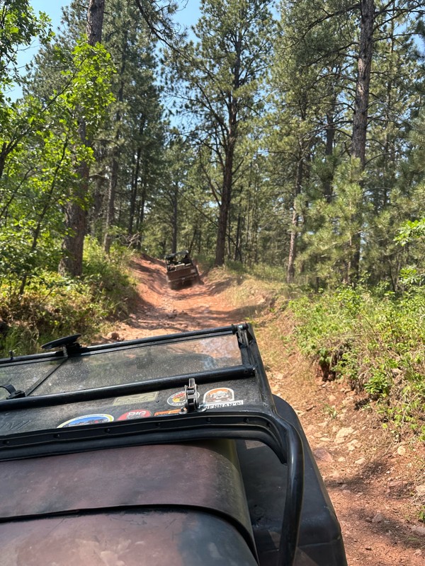
As others mentioned, the trail splits to get around mud holes or for a more scenic view. We did it after a few days of rain and the very last section at the top was too muddy to add more tracks to. I...

DT
Deb Thelen
Rated 5/5
Open
Visited: 09/17/2026
As stated by other, just rough and rocks near the east end, can warm you up for got milk
A
Alex
Rated 5/5
Open
Visited: 09/17/2026
Nice warm up trail for got milk, some bigger rocks sticking out of ground that can rub axles if not careful
A
Alex
Rated 5/5
Open
Visited: 09/17/2026
Only major obstacle was a switch back going up hill, was easier than I thought
A
Alex
Rated 5/5
Open
Visited: 09/16/2026
Came from the north to drive south to get to the retired mine, it was just a maintained gravel road, found minor washboard, had a 2015 gmc Acadia
A
Alex
Rated 5/5
Open
Visited: 09/15/2026
It wasn’t that demanding of trail, pick a good line for tougher rock sections and be no issues,
A
Alex
Rated 5/5
Open
Visited: 09/15/2026
Intersected this trail from FS 028, heading south, sections of rocks, nothing massive, near the southern end of trail there was two options, unsure if official are not, it did appear to be challenging...
A
Alex
Rated 5/5
Open
Visited: 09/14/2026
Went south to north on this trail, would recommend this direction for a more challenging ascent than going north to south. There was just one big rock to go around while climbing up, nothing too diffi...
A
Alex
Rated 5/5
Open
Visited: 09/14/2026
Slightly worse gravel road, a mercury grand marquis could drive it
A
Alex
Rated 4/5
Open
Visited: 08/29/2026
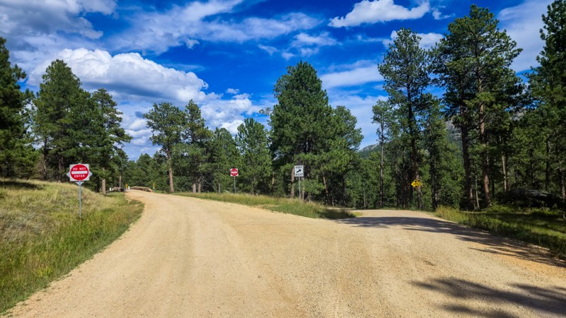
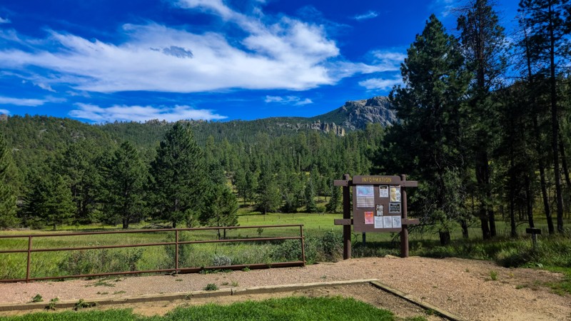
I love driving Palmer Creek Road. It's mellow and so scenic and I find the bridge and rock split neat features that they did not have to include. Make sure to stop and find the Harney Watchtower at ...
Dalton Santana
Official Crew
Rated 3/5
Open
Visited: 08/14/2026
This road has been recently graded and is now pretty smooth the whole way. The water crossing and rocky steps are gone now.
Dalton Santana
Official Crew
No Rating
Open
Visited: 08/11/2026
Per the MVUM, the trail is seasonally open. As always, check current fire restrictions/closures before venturing out.

Trails Offroad
Official Crew
No Rating
Open
Visited: 08/11/2026
Per the MVUM, the trail is seasonally open. As always, check current fire restrictions/closures before venturing out.
Trails Offroad
Official Crew
No Rating
Open
Visited: 08/11/2026
Per the MVUM, the trail is seasonally open. As always, check current fire restrictions/closures before venturing out.
Trails Offroad
Official Crew
No Rating
Open
Visited: 08/11/2026
Per the MVUM, the trail is seasonally open. As always, check current fire restrictions/closures before venturing out.
Trails Offroad
Official Crew
No Rating
Open
Visited: 08/11/2026
Per the MVUM, the trail is seasonally open. As always, check current fire restrictions/closures before venturing out.
Trails Offroad
Official Crew
No Rating
Open
Visited: 08/11/2026
Per the MVUM, the trail is seasonally open. As always, check current fire restrictions/closures before venturing out.
Trails Offroad
Official Crew
No Rating
Open
Visited: 08/11/2026
Per the MVUM, the trail is seasonally open. As always, check current fire restrictions/closures before venturing out.
Trails Offroad
Official Crew
No Rating
Open
Visited: 08/11/2026
Per the MVUM, the trail is seasonally open. As always, check current fire restrictions/closures before venturing out.
Trails Offroad
Official Crew
No Rating
Open
Visited: 08/11/2026
Per the MVUM, the trail is seasonally open. As always, check current fire restrictions/closures before venturing out.
Trails Offroad
Official Crew
No Rating
Open
Visited: 08/11/2026
Per the MVUM, the trail is seasonally open. As always, check current fire restrictions/closures before venturing out.
Trails Offroad
Official Crew
No Rating
Open
Visited: 08/11/2026
Per the MVUM, the trail is seasonally open. As always, check current fire restrictions/closures before venturing out.
Trails Offroad
Official Crew
No Rating
Open
Visited: 08/11/2026
Per the MVUM, the trail is seasonally open. As always, check current fire restrictions/closures before venturing out.
Trails Offroad
Official Crew
No Rating
Open
Visited: 08/11/2026
Per the MVUM, the trail is seasonally open. As always, check current fire restrictions/closures before venturing out.
Trails Offroad
Official Crew
No Rating
Open
Visited: 08/11/2026
Per the MVUM, the trail is seasonally open. As always, check current fire restrictions/closures before venturing out.
Trails Offroad
Official Crew
No Rating
Open
Visited: 08/11/2026
Per the MVUM, the trail is seasonally open. As always, check current fire restrictions/closures before venturing out.
Trails Offroad
Official Crew
No Rating
Open
Visited: 08/11/2026
Per the MVUM, the trail is seasonally open. As always, check current fire restrictions/closures before venturing out.
Trails Offroad
Official Crew
No Rating
Open
Visited: 08/11/2026
Per the MVUM, the trail is seasonally open. As always, check current fire restrictions/closures before venturing out.
Trails Offroad
Official Crew
No Rating
Open
Visited: 08/11/2026
Per the MVUM, the trail is seasonally open. As always, check current fire restrictions/closures before venturing out.
Trails Offroad
Official Crew
No Rating
Open
Visited: 08/11/2026
Per the MVUM, the trail is seasonally open. As always, check current fire restrictions/closures before venturing out.
Trails Offroad
Official Crew
No Rating
Open
Visited: 08/11/2026
Per the MVUM, the trail is seasonally open. As always, check current fire restrictions/closures before venturing out.
Trails Offroad
Official Crew
No Rating
Open
Visited: 08/11/2026
Per the MVUM, the trail is seasonally open. As always, check current fire restrictions/closures before venturing out.
Trails Offroad
Official Crew
No Rating
Open
Visited: 08/11/2026
Per the MVUM, the trail is seasonally open. As always, check current fire restrictions/closures before venturing out.
Trails Offroad
Official Crew
No Rating
Open
Visited: 08/11/2026
Per the MVUM, the trail is seasonally open. As always, check current fire restrictions/closures before venturing out.
Trails Offroad
Official Crew
No Rating
Open
Visited: 08/11/2026
Per the MVUM, the trail is seasonally open. As always, check current fire restrictions/closures before venturing out.
Trails Offroad
Official Crew
Rated 3/5
Open
Visited: 08/01/2026
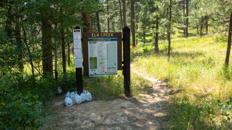
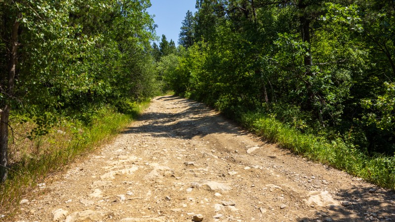
I found the "Grand Canyon of the Black Hills" a bit underwhelming, as it is difficult to get a good view of it through the trees. The walk down was steep and rocky and had obviously been driven by ve...
Dalton Santana
Official Crew
Rated 4/5
Open
Visited: 08/01/2026
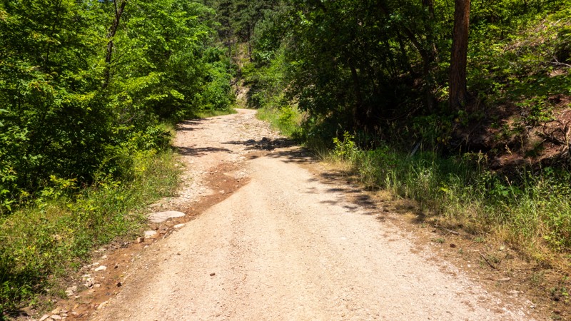
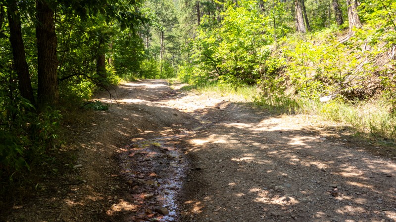
Bethlehem Road is a nice little gem of a trail. It can be deceiving if you are not prepared for the rock fields, as the rest of the trail is pretty easy going. The waterfall was pretty thin during t...
Dalton Santana
Official Crew
Rated 3/5
Open
Visited: 08/01/2026
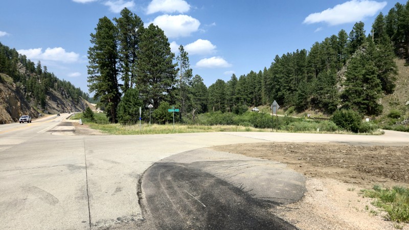
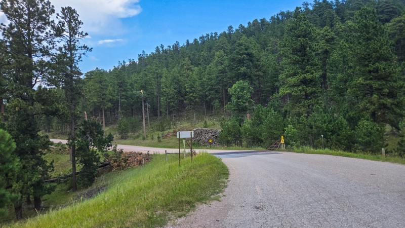
Calumet Road is well maintained, and the route itself does not provide any challenge, but it's a good cut across to get off the pavement and access to the lake and campground is very useful.
Dalton Santana
Official Crew
Dalton Santana
Official Crew
Rated 5/5
Open
Visited: 07/22/2026
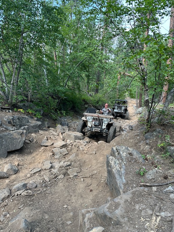
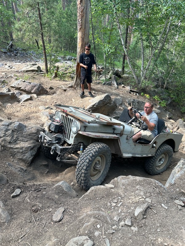
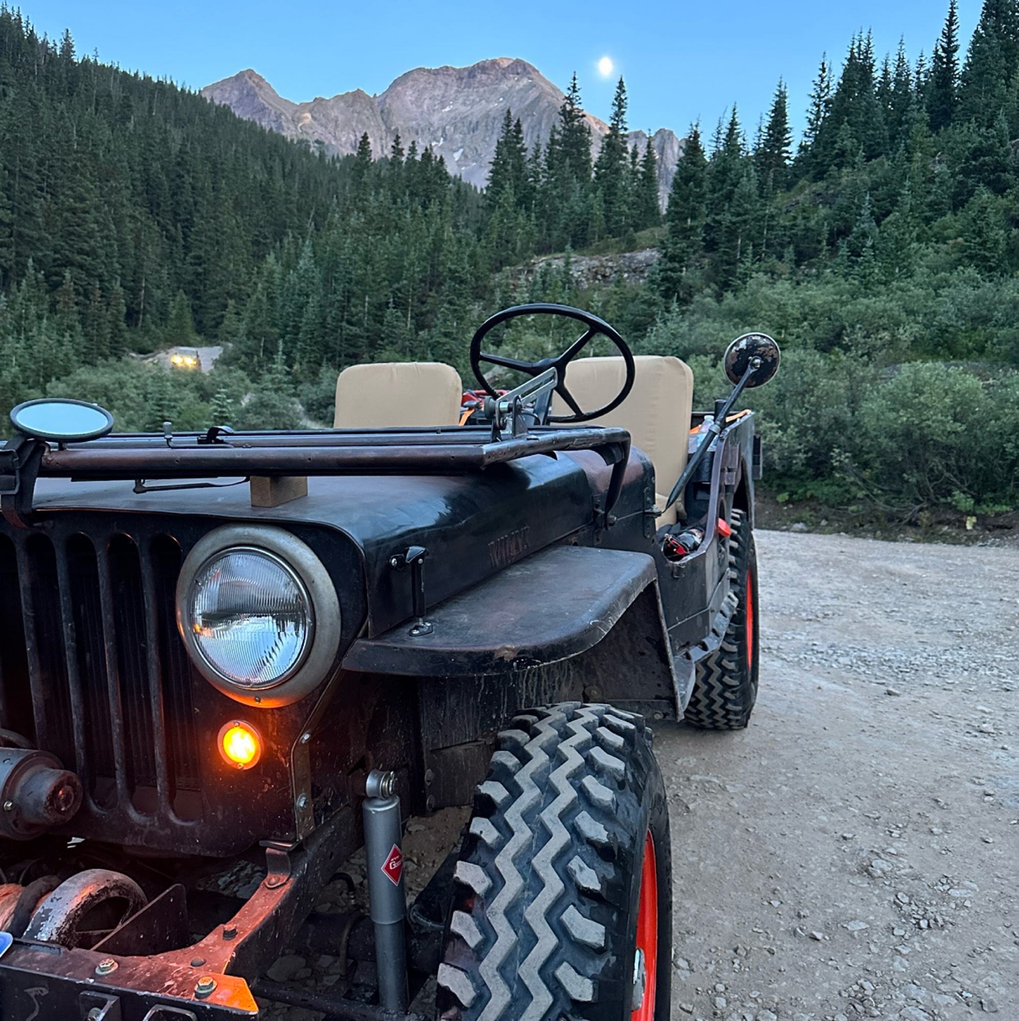
We did this trail in stock flat fender Willys with Lockers. Awesome trail.
Mark Hansen
Mark Hansen
No Rating
Open
Visited: 07/20/2026
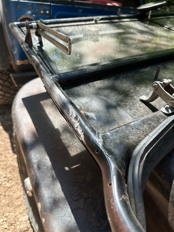
Ran this in my Stocker
Locker Willys on 7.50-16 tires. Had to winch once. Trail
Is extreme. Expect body damage. Bent my windshield. Bent my fuel filler. Rubbed my rockers skid plates.
Mark Hansen
Rated 3/5
Open
Visited: 07/04/2026
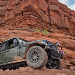
Easy run. had hopes it would open up for a scenic look. it really didnt. but we did not do the full east loop.
Joe
Rated 5/5
Open
Visited: 07/04/2026
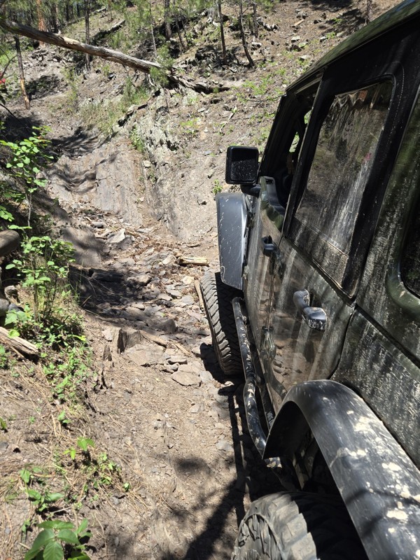
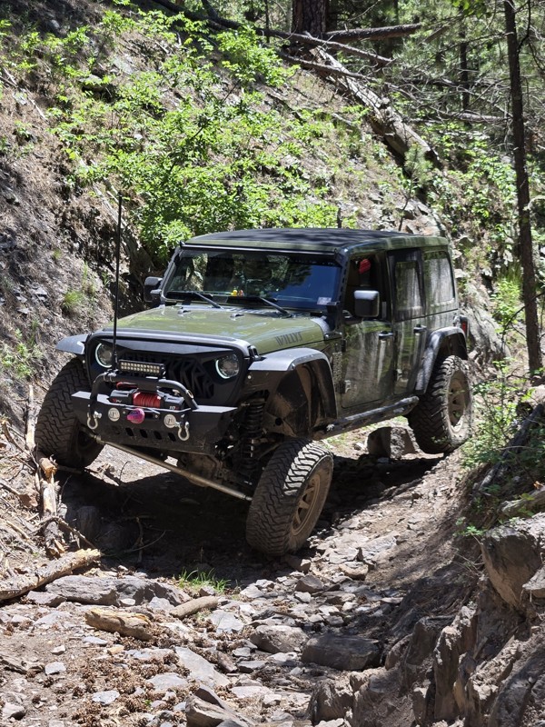
Great trail, had fun running this tight windy rough steep climb. has some surprises, tight turns, bigger rocks.
Joe
Joe
Rated 5/5
Open
Visited: 07/04/2026
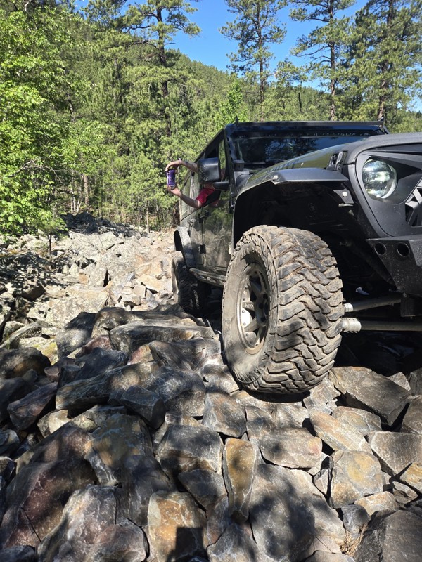
Tougher demanding trail. pay attention to everything. absolute blast to do. technical in spots. know your rig, watch for trees. The description is close. it's a serious Badge of Honor Trail. not...
Joe
Most Popular

Updated: 09/23/2026
Fruity Pebbles Bypass
Johnson Siding, South Dakota
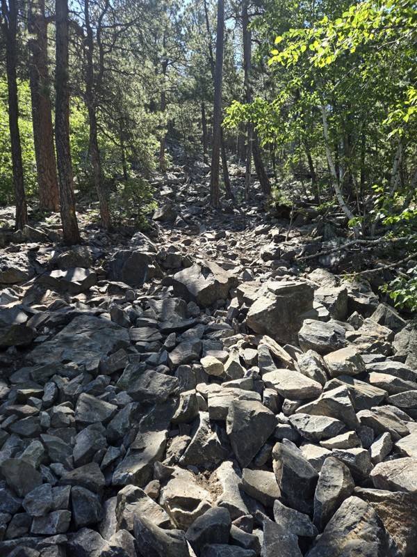
Located off Bogus Jim Branch 1B, the Fruity Pebbles Bypass allows users to bypass the Fruity Pebbles rock crawling trail, ending at Forestry Road 6340 near the exit of Fruity Pebbles. Users can expect loose and embedded schoolbook-sized rocks and up to a 14-degree climb to the top.
About halfway up the hill, where FS 201.1E transitions into FS6319, you can expect a washed-out rut to test your flex, followed by a tight switchback ending with a 10-12" ledge.
Camping is sparse on the Fruity Pebbles Bypass, with a pull-off about a quarter of the way from the north end of the trail and a clearing at the top of the climb, about a quarter of the way from the south end. Both would provide room for a few vehicles to park and set up vehicle-based camping if needed.
Updated: 10/15/2024
Power Line
Hill City, South Dakota
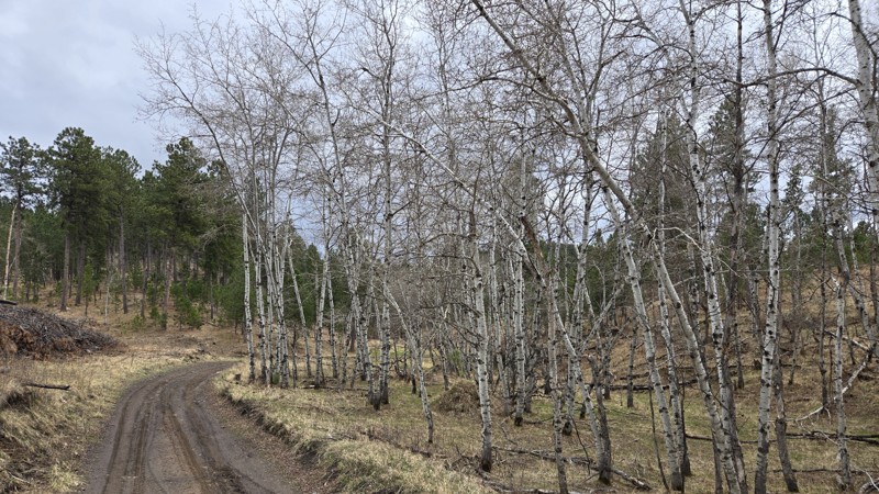
Forestry Road 425, or "Power Line" is a easy "there and back" dirt forest road southeast of Hill City South Dakota. It can be accessed by taking Highway 16 south from Hill City, turning east onto SD Highway 244, and then taking the first left onto Power Line. Power Line does not require a special permit to access.
There are a few spots within the first half mile of Power Line suitable for camping. These could accommodate a ground tent, vehicle tent, or small trailer and can be found just off the side of the road. While the views are better further down the road, the terrain becomes steeper and rockier.
Power Line is predominately rough dirt, with a few short rutted areas and embedded rocks. It should be little problem for any 4x4 or SUV. The dirt does become slick after a rain but should dry within 24 hours.
Power Line offers many samples of Aspen forests, as well as views of Black Elk Peak and the surrounding granite spires, however most views require looking through the surrounding trees. One of the best views is actually just toward the end of the branch route, 425.1D, just before it ends in a turn-around. This branch can be accessed just before the end of Power Line.
Updated: 07/06/2026
Indian Creek
Scenic, South Dakota
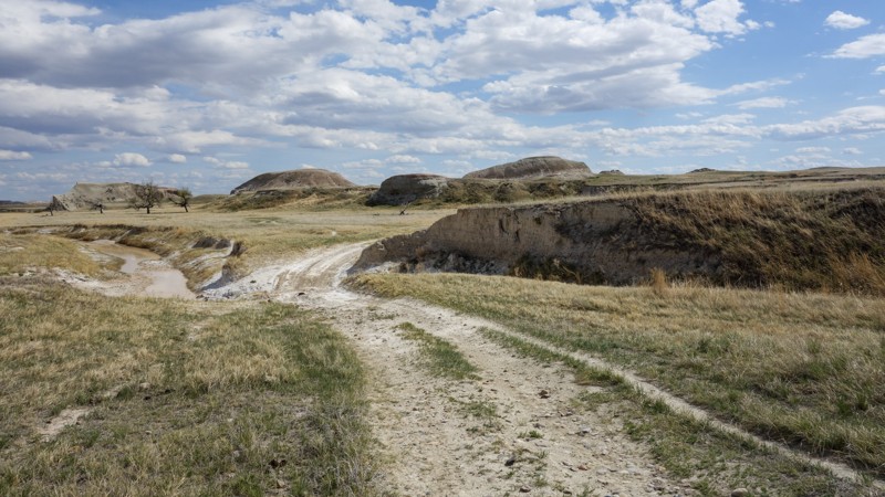
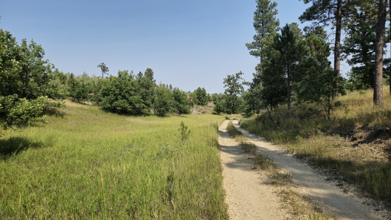
Indian Creek is a rough dirt trail, about 18 miles long, and features about 18 creek crossings. Indian Creek starts on Indian Creek Road near Scenic, South Dakota, and ends at BIA Highway 27. This trail covers land managed through the Buffalo Gap National Grasslands, Badlands National Park, and the Pine Ridge Indian Reservation.
Users will need at least moderate clearance, approach, and departure angles, as this trail has numerous brief, steep climbs and descents as it crosses Indian Creek. Like other trails in the Badlands of South Dakota, the soil has a high clay content and becomes sticky and slick when wet, so this trail is best avoided after rain. Camping can be found at the beginning of Indian Creek, where there is room for several vehicles or campers. Dispersed camping may also be found along the trail.
Rock hunting is popular along Indian Creek, and those visiting are likely to see wildlife such as the American Pronghorn, Prairie Dogs, and Burrowing Owls. Cattle graze in the area from May to October, and bison graze in the area from November to March. Horses may be seen in the area as well, but are not wild.
Updated: 07/10/2025
Turkey Ridge
Rockerville, South Dakota
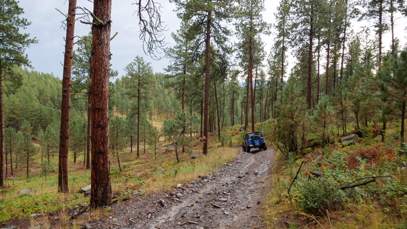
Turkey Ridge (FR719) is an easy Forestry Road connecting Highway 16 to South Rockerville Road, just south of the town of Rockerville. It can be run either direction and is accessible from pavement on either end. Turkey Ridge is open year-long.
Turkey Ridge is just short of two miles long and is mostly rough dirt with some ruts and mild off-camber sections. Expect rocks no more than 12" tall. This road would be easily tackled by any 4x4 and most high-clearance SUVs. There are spots that may hold water and mud in wet seasons but are usually dry.
Pay attention to views of Black Elk Peak and the surrounding Black Hills. Deer and cattle are likely to be present. The foliage is mostly away from the road, but a few branches and limbs could drag along a vehicle if one were not paying attention.
Updated: 06/28/2025
Bogus 08
Silver City, South Dakota
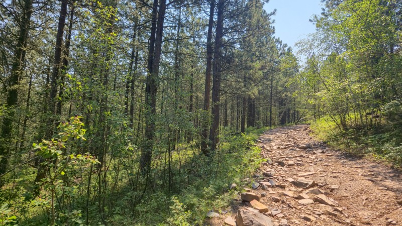
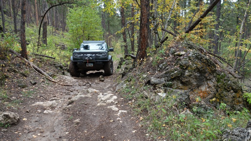
Bogus 08 is a short, looping trail in the Bogus Jim area. The trail climbs and descends mild grades and is very rough with consistently loose, sharp, football-sized rocks, making for a slow drive. Other than the rough terrain, you will encounter no significant obstacles or concerns of any kind. The trail is primarily 1-1.5 vehicles wide, with plenty of open shoulder space to pass oncoming traffic. The trail circles a plot of private property and offers no camping. This trail is suitable for stock high clearance vehicles and best for beginners or those looking for a tranquil drive through the pines.
Updated: 08/11/2026
Schmitz
Johnson Siding, South Dakota
Schmitz is a predominantly rough dirt loop around the northern Schroeder Trailhead area. It is located about five miles west of Rapid City and can be accessed via the Schroeder Trailhead, off Nemo Road, or the Shanks Trailhead, off Highway 44. Schmitz contains two spurs off the east side of the loop, which terminate in clearings with no major points of interest.
Schmitz features mostly rough dirt with small embedded rocks. The northern portion of the loop, marked as 6605, features two areas of greater difficulty. To the east of the Flat Nasty rock-crawling trail, there is a ravine with steep banks on either side. Next to this ravine lie the remnants of the bridge that once crossed it. To the west of Flat Nasty is a narrow, rocky section that requires moderate clearance and careful tire placement. Pay attention not to enter Flat Nasty by mistake, as it is also marked 6605 and parallels the main trail. The sign for Flat Nasty can be found on its northern end, but is not present on its southern end. Schmitz is often damp and prone to mud, with frequent puddles up to axle deep.
Schmitz offers no designated camping areas. Dispersed camping is allowed up to 300 feet from the road on all parts of Schmitz except for the portion marked 6605.
Updated: 09/22/2025
Nissen
Merritt, South Dakota
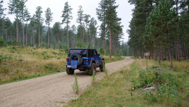
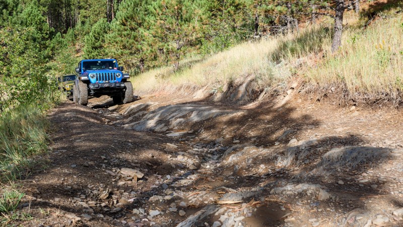
Nissen, FS 202, is an easy, straight-through gravel dirt road connecting US 385 to the Bogus Jim Area. The road is 1.5-2 vehicles wide the entire way, and there are no concerns other than the occasional pothole or a washboard section or two. The road is primarily used as an access road to reach the rock-crawling trails of Fruity Pebbles, Got Milk, Captain Crunch, and Jake, but the vast amount of Aspen and broad-leaf trees make it an ideal fall foliage drive. There are several large grassy areas along the western half of the trail that make suitable campsites and ideal locations to leave trucks and trailers to stage for the nearby rock-crawling trails. This road is suitable for any vehicle.
Updated: 10/15/2024
South Bogus
Silver City, South Dakota
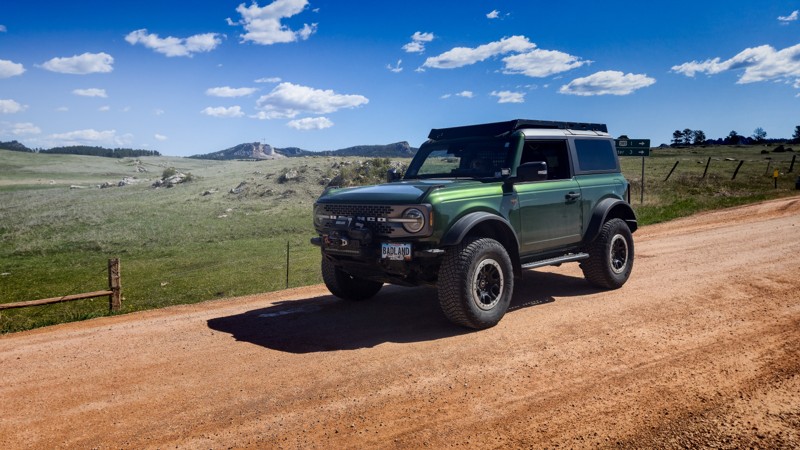
South Bogus is a straight-through, almost 3-mile-long connector road to the Jake trail and other trails within the Cereal Bowl Area of the Black Hills National Forest. The road is primarily packed dirt and loose shale rock with a few moderate grades, occasional ruts, and a couple of small, 6''-8'' ledges. There are only 1 or 2 wide, flat areas that could be utilized for camping, but they are sub-par spots at best. Far better camping can be found at the north end of Merrit School. Please note that this route also includes Forest Service Road 642.1A. South Bogus is suitable for any high clearance vehicle.
Updated: 06/11/2026
Custer Limestone Road
Custer, South Dakota
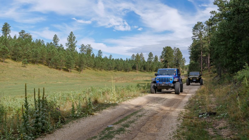
Custer Limestone Road is a graded gravel road connecting Medicine Mountain Road off Highway 16, north of Custer, to Boles Canyon near the Wyoming border. This road spans nearly 30 miles and provides access to numerous trails and Forest Service roads in the southern Black Hills of South Dakota. This road is suitable for all but the lowest vehicles.
Along the eastern portion, travelers are presented with several views of the Crazy Horse Monument, Black Elk Peak, and the surrounding Black Hills. Several small pull-offs provide camping options, including one with a great view of Crazy Horse. As you head west, the forest thickens, and camping on the road becomes more sparse. Many of the connecting roads and trails host options for dispersed camping.
Updated: 10/15/2024
Merrit School
Merritt, South Dakota
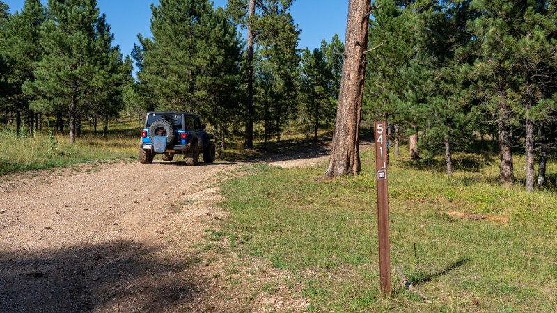
Merrit School is an easy, straight-through dirt road paralleling Highway 385 just north of Pactola Lake. The road is mainly packed dirt and gravel, with small protruding rocks up to fist-sized and an occasional pothole and water drainage rut. The southern half of the road is the roughest and has a few gentle grades, while the north side is extremely smooth, hard-packed, and easy to access. The very northern end of the road offers an extremely large grassy area great for camping or an ideal staging area for trucks and trailers of users heading out to tackle hardcore trails in the nearby Cereal Bowl trail system, such as Fruity Pebbles or Captain Crunch. If camping, please be aware that per Forest Order BKF-146-2019, campfires are not permitted unless the fire is in an established fire ring constructed and approved by a public agency in a designated recreation area.
This trail is suitable for any vehicle with decent ground clearance.
Updated: 08/11/2026
Kirk
Bethlehem, South Dakota
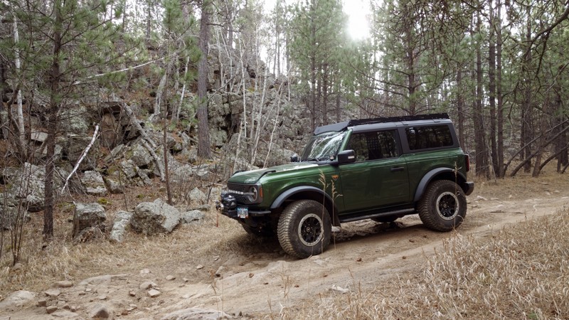
Traveling between Vanocker Canyon Road and Galena Road, Kirk is an easy, rough, straight-through forest service road that leisurely weaves through the Black Hills National Forest. It provides a good entry or exit point to the Moses Hill trail and offers little in the way of concerns beyond a few gradual grades and occasional first-sized rocks. Kirk can easily be managed by any high-clearance vehicle, and 4-wheel drive is likely only necessary during extreme wet weather. Although easy, RVs and travel trailers are not recommended for this road, as the road surface is not much wider than a single vehicle in some areas and makes several tight turns.
The entire length of the road allows dispersed camping, but previously established sites are practically non-existent. The road does offer several flat and grassy areas where camp can easily be set up, but users should be prepared to share the space with free-range cattle. Campers should also be aware that per Forest Order BKF-146-2019, campfires are not permitted unless the fire is in an established fire ring constructed and approved by a public agency in a designated recreation area.
Updated: 09/23/2026
Bogus Jim Branch 1
Johnson Siding, South Dakota
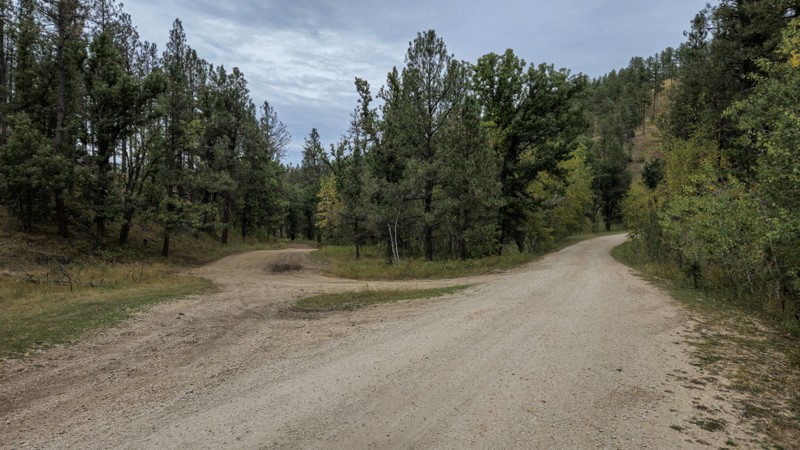
This trail, branching off Bogus Jim Road and providing access to the east side of the Cereal Bowl trails, is accessible by moderate to high-clearance 4WD vehicles. It becomes progressively more technical and rocky as it reaches further into the trail system, and undercarriage damage is possible. Users should expect deep ruts and basketball-sized loose and embedded rocks. Pinstriping from tree branches is also likely.
Bogus Jim Branch 1 offers two notable camping or staging areas. The first is located directly off Bogus Jim Road, with the second just up the hill near the Fruity Pebble Bypass. Both are large enough for multiple vehicles and campers.
FS 6311 is an optional, difficult shortcut near the southern end of Bogus Jim Branch 1 for those who want to push their vehicle through some larger rocks.
Updated: 10/15/2024
Johnson Gulch
Rockerville, South Dakota
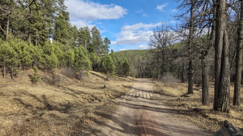
Johnson Gulch (FS 674) is a rough, graded dirt route between Beretta Road and Boulder Hill off of Highway 16 in the Black Hills. It is also marked as Boulder Hill Branch 1E on the eastern half of the road.
Johnson Gulch branches off Beretta Road at a shallow water crossing, which may be dry in the late summer months. While the road used to contain numerous large, deep mud bogs, it was recently graded and is now accessible by any 4x4 or moderate clearance AWD SUV. Embedded and loose rock no larger than six inches can be found, as well as small dips and potholes. Midway through Johnson Gulch is a large metal gate, which should be left as it is found after passing it.
Johnson Gulch's southern end features several large clearings near Beretta Road. However, it is not recommended to camp in these as Beretta Road is a popular open shooting area. There is a clearing about .75 miles from Beretta Road that would be suitable for vehicle or tent camping and could accommodate several people. Local ranchers use this area for cattle, so be cautious of livestock on the roads.
Updated: 03/25/2025
South Victoria
Hisega, South Dakota
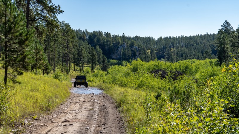
South Victoria is a year-round, graded dirt road between Taylor Ranch Road and Victoria Lake Road. It can be accessed near the southern start of Taylor Ranch Road or the midway point of Victoria Lake Road. It serves as a connector between the two, with sights of the aspen forests and several small creek crossings. South Victoria is easily traversed by any SUV or other vehicle with moderate ground clearance. The pavers on the creek crossings could prove difficult for low-clearance vehicles. The road is usually dry but can present some shallow mud during rainy periods.
South Victoria contains one spur named Boone Draw, which ends at private property. Boone Draw is a little rougher than South Victoria but still accessible by any SUV. South Victoria has no designated camping spots, although several clearings can be found along the side of the road, allowing vehicle or tent camping. Open fires are not allowed in the Black Hills National Forest.
Updated: 06/10/2026
Pied
Nemo, South Dakota
Pied is a simple connector trail that is primarily used to access the Iceman trail and connect other trails to create a dirt route between Nemo and Custer Gap. The trail surface is primarily hard-packed dirt, with small protruding rocks, a few gentle grades, and an occasional muddy depression. Trees along the trail are thin, providing a good amount of sunshine, but you won't encounter any type of views. There is no camping along this trail, but users can find dispersed camping along the intersecting Piedmont Road.
Updated: 10/22/2025
Bikini
Keystone, South Dakota
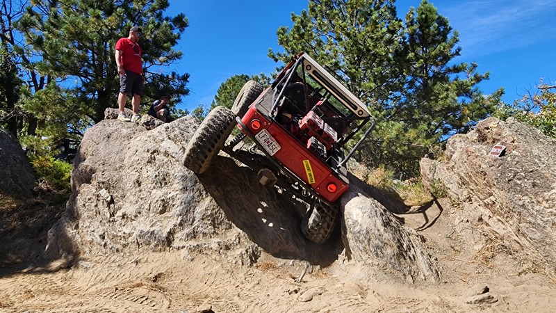
Cut high into the granite spine of the Black Hills, a short distance east of Keystone, Bikini is a challenging, obstacle-course-like trail that packs a serious punch into a short distance. Shaped like a wet noodle, the trail twists and winds through a mix of sparsely shaded pine forest and open rock faces, offering continuous obstacles with nearly no reprieve. Obstacles are a blend of natural rock gardens and narrow V-notches that create steep climbs, deep ruts, and off-camber squeezes. Some climbs feature sharp breakovers with limited visibility, making a good spotter almost as important as lockers. Despite the tough sections, the granite surface provides exceptional grip.
Navigation can be extremely challenging due to the tight turns, low traffic, and thick grass overgrowth. However, the trail is well marked with 42 numeric carsonite signs helping keep users on the correct path. If you look far out to the west while traveling this trail, you will get a glimpse of Mt Rushmore found nowhere else.
This trail should only be traveled by experienced offroaders in purpose-built rock-crawling vehicles. Big tires, lockers, vehicle armor, and spare parts are recommended. Vehicle damage is likely.
Updated: 05/07/2025
Dalton Lake Road
Tomahawk, South Dakota
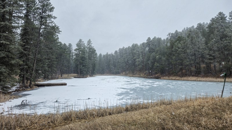
Dalton Lake Road is a graded dirt and gravel forest road found off Vanocker Canyon Road north of Nemo in the Black Hills. Dalton Lake Road provides access to Dalton Lake and the adjoining campground. This road also provides access to the Centennial hiking trail near the Dalton Lake Campground and the Little Elk Creek hiking trail at the road's eastern end.
Dalton Lake Road is accessible by most vehicles, including those with modest ground clearance. In wet seasons, some mud may be found, especially near the Little Elk Creek trail start. The Dalton Lake Campground is a National Forest campground suitable for tent, vehicle, and small camper-based camping. Those bringing smaller off-road machines will also find access to numerous single-track and restricted-width trails in this area.
Updated: 07/06/2026
Bear Mountain
Crazy Horse, South Dakota
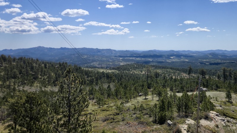
Bear Mountain is the third highest peak in the Black Hills and the highest drivable route between the Rocky Mountains and the Alps, reaching 7,166 feet. The watchtower at the peak provides a 360-degree view of the Black Hills, including Black Elk Peak.
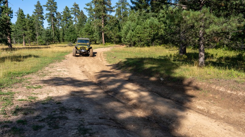
Bear Mountain can be accessed either from the south off Ditch Creek Road or from the north off Bobcat Road via Medicine Mountain Road. The trail between the peak and Ditch Creek Road is a graded gravel path traversable via most vehicles, including passenger cars with modest clearance. The trail to the north of the peak is more difficult and should only be taken with high-clearance 4x4 vehicles. This section features embedded basketball-sized and loose baseball-sized rocks, mud, and deep ruts. Bear Mountain is open year-round; however, the northern side holds deep snow in the winter and can quickly become impassable.
Bear Mountain features a few less-traveled spurs, which end in small areas suitable for dispersed camping. Remember, campfires are not allowed in the Black Hills National Forest. A pit-toilet facility is located just under the watchtower and features two restrooms.
Updated: 08/11/2026
Vanocker Canyon Branch 2G
Bethlehem, South Dakota
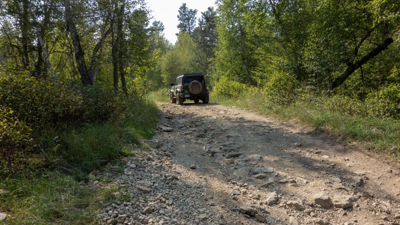
Vanocker Canyon Branch 2G, also known as Deadman Mountain or Kirk Banch 1C, is an easy, straight-through connector that accesses the northern part of the Moses Hill trail. The road is a hard-packed road with occasional shallow mud pits and ruts. The road offers several flat, grassy areas that can be utilized for camping, and free-range cattle are often seen in the area. Please be aware that per Forest Order BKF-146-2019, campfires are not permitted unless the fire is in an established fire ring constructed and approved by a public agency in a designated recreation area. This trail is exceptionally wide with no concerns of vehicle width and only climbs a gentle grade. This road is suitable for any vehicle.
Updated: 08/11/2026
Lost Gulch Branch 1H
Galena, South Dakota
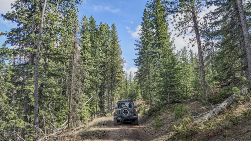
Lost Gulch Branch 1H is a connector from Pillar to Lost Gulch, with a short spur on the northern end. It is mostly rough dirt with some small loose rocks and mild ruts. There are multiple views of the surrounding hillsides and vistas. If entered from the south, off Lost Gulch, this is a very easy trail for most high-clearance vehicles. However, the connecting Pillar Road is more demanding and could cause issues for some vehicles.
The turnaround at the northern spur could serve as a small camping site, but a much better site with a fantastic view to the south has been established about halfway through the trail.
Updated: 05/21/2025
Ditch Creek 04
Rochford, South Dakota
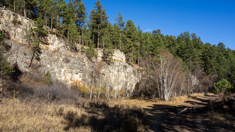
Ditch Creek 04 is a short, rough dirt connector trail between William's Draw and Ditch Creek Road. It can be accessed from either road near their intersections with Deerfield Road. It is open year-round and requires a Black Hills Trail Permit. This trail offers views of the Black Hills National Forest and is a common area where elk can be found. Ditch Creek 04 is suitable for any stock 4x4 vehicle or AWD vehicle with moderate clearance. Users should expect rough dirt, with small ruts and embedded rock. Ditch Creek 04 is just north of the similar connector, Ditch Creek 08.
There are some small clearings on the sides of Ditch Creek 04 which would allow tent or vehicle based camping. Open campfires are not allowed in the Black Hills National Forest. Larger rigs or groups should consider the Ditch Creek Campground off Ditch Creek Road.
Updated: 08/11/2026
Wild Irishman
Johnson Siding, South Dakota
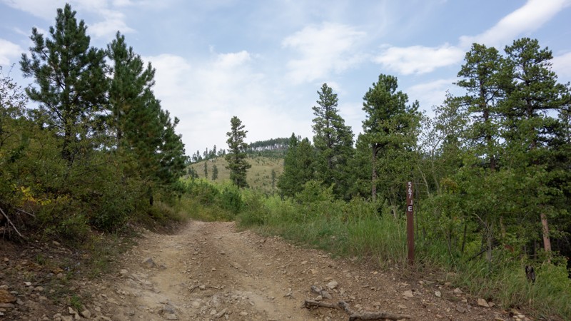
Wild Irishman is a seasonal, rough dirt road starting at the Schroeder Trailhead off Nemo Road just outside Rapid City. Visitors can expect dirt and gravel roads with small embedded rocks. Wild Irishman, also a popular hiking location, was once a connector between the east and west sides of the Shanks and Schroeder Trail systems. Unfortunately, the western end of Wild Irishman is now closed due to private property. Access to the other parts of the system can be had through various connector trails.
A large gravel parking lot marks the Schroeder Trailhead and the beginning of Wild Irishman. This lot is suitable for campers, staging, or parking of trailers for offroad rigs. Those seeking the Flat Nasties rock crawling trail may find this lot useful as well. Further down Wild Irishman is a clearing that would allow smaller vehicle-based camping but may prove too rocky and uneven for ground tents.
Updated: 10/15/2024
Bear Den 1E
Galena, South Dakota
Bear Den 1E is a very short connector trail between Bear Den and Lost Gulch. It offers access to trail 8048 but has no camping or noteworthy site-seeing on its own.
Taking Bear Den 1E from Bear Den to Lost Gulch does allow one to bypass the deep ruts on the south portion of Bear Den if they are too muddy or their vehicle is not suitable for the required clearance.
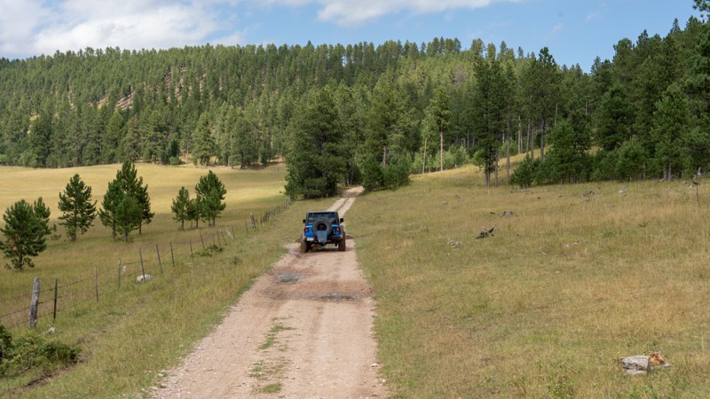
Updated: 09/23/2026
Holloway Road
Bethlehem, South Dakota
Located off Vanocker Canyon Road halfway between Sturgis and Nemo, Holloway Road is a short, dead-end access road primarily used as an entry or exit point for Moses Hill. This road, also known as Nelson on some Forest Service maps, is primarily packed dirt and gravel, with one short rocky section of fist-sized rocks. The road is well maintained and should easily be traveled by any vehicle with decent ground clearance. The road ends at a wide clearing that has been used for timber harvesting in the past and now makes a good, rather level, and grassy campsite. Please be aware that per Forest Order BKF-146-2019, campfires are not permitted unless the fire is in an established fire ring constructed and approved by a public agency in a designated recreation area.

Upgrade your Membership
Unlock all of the details on every Trail Guide and Scout Route.
Start a 7-day Free TrialBrowse Trails in South Dakota by City
Browse every South Dakota city with offroad trail guides.
Community
Partners

