


By clicking "ACCEPT", you agree to be the terms and conditions of each policy linked to above. You also agree to the storing of cookies on your device to facilitate the operation and functionality of our site, enhance and customize your user experience, and to analyze how our site is used.
Wyoming Off-Road Trails
25
Total Trail Guides 23

282
Detailed Waypoints 61
Try a Free 7-Day Trial and unlock it all
Start a Free Trial Most Recent Trail Reviews
No Rating
Open
Visited: 09/13/2026
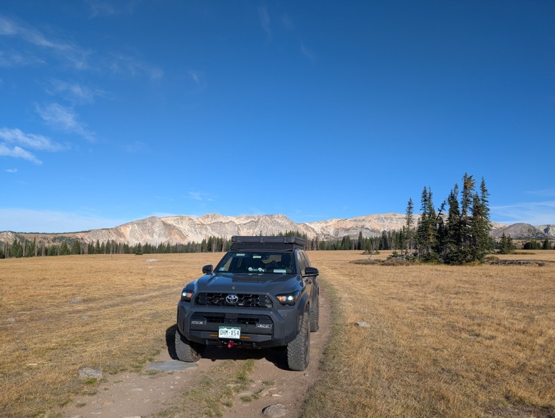
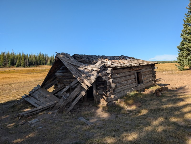
Short and very scenic trail. It does get pretty rocky in some sections but nothing crazy. We didn't run into any issues in our 4Runner. The views from the upper section are unbeatable and the old cabi...

Lee Juszak
Rated 4/5
Open
Visited: 09/12/2026
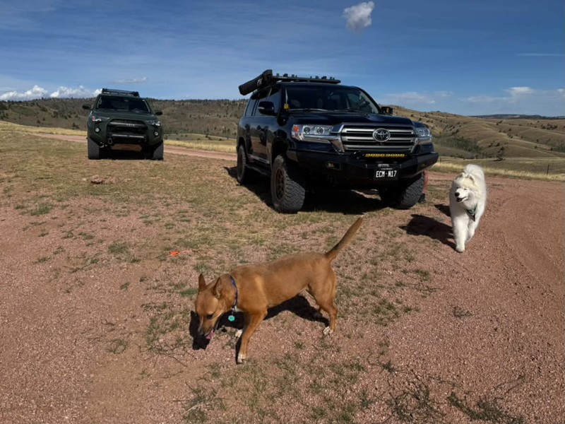
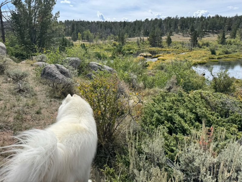
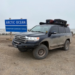
A favorite especially to combine with other close by trails. We actually found a couple of more great camp spots on this trip. It’s an easy road with a few small obstacles on the north side. The trail...
Bryan Peterson
Rated 5/5
Open
Visited: 09/12/2026
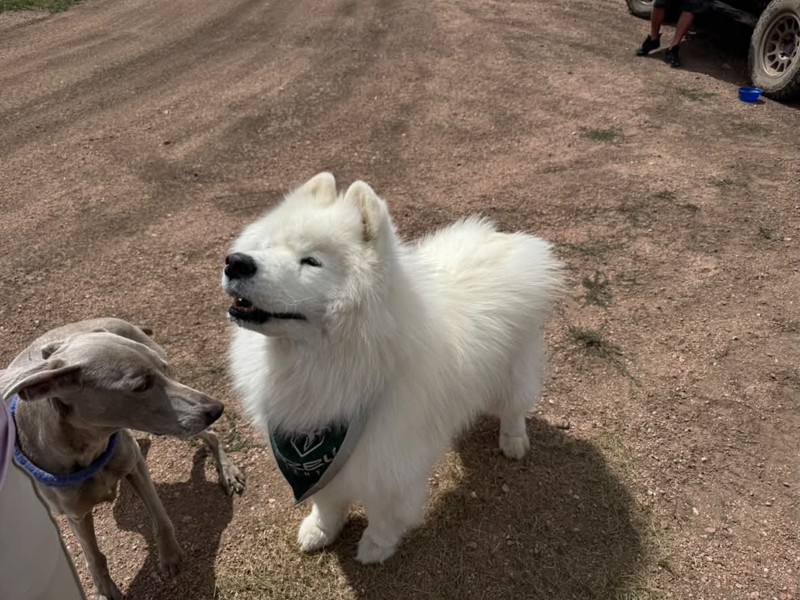
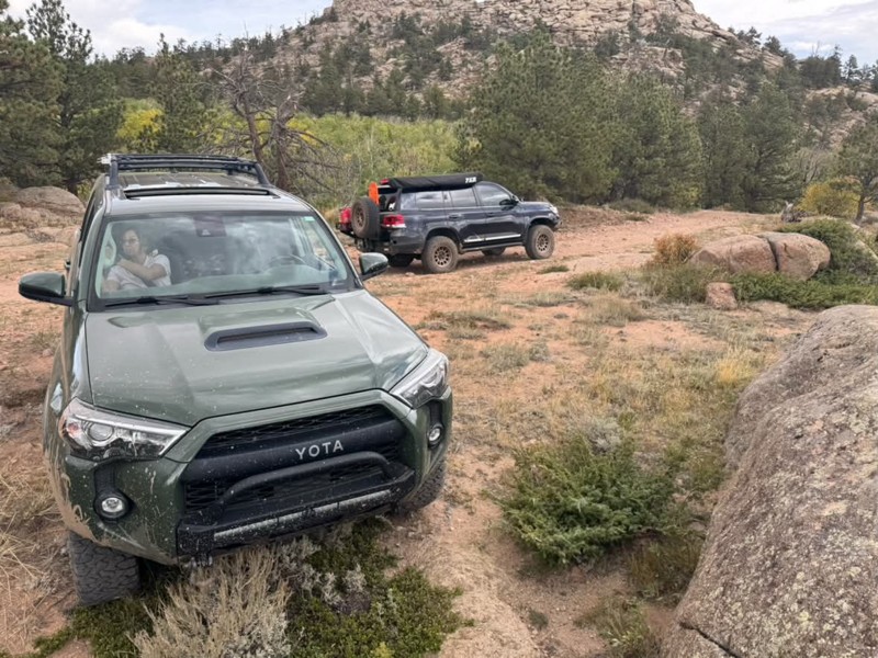
Always one of our favorites! Seems to get more off camber every time🤷♂️ We ran it again from north to south, still such a great trail and the obstacles just keep getting better😃 All mud puddles are...
Bryan Peterson
No Rating
Open
Visited: 09/11/2026
After years, the trail has been repaired and is now open as per the FS
TA
texas aggie
Rated 5/5
Open
Visited: 08/22/2026
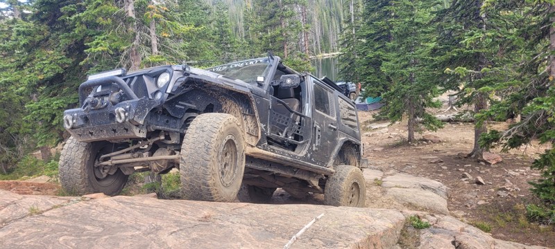
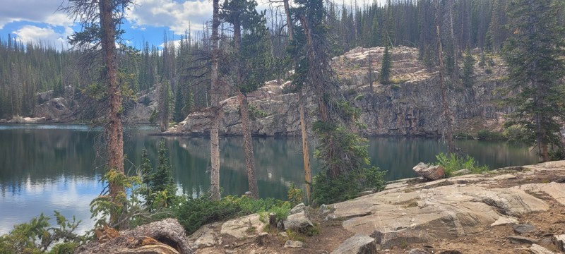
We set up camp at waypoint 6 and the next day ran this from 6 to 1. Let me just say that this trail is worth coming to this area of Wyoming for. The snowy range is so pretty, there was some challenge...

Heather Melchior
Rated 5/5
Open
Visited: 08/21/2026
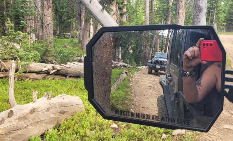
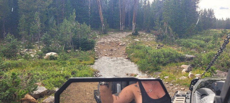
A small group of us ran this and there are about 3 really nice creek crossings. We ended up setting up camp where this & Libby Flats connects. Pretty easy trail. Most of this trail go through the wo...
Heather Melchior
Rated 4/5
Open
Visited: 08/21/2026
A group of us ran this to get to Jim Creek & Libby Flats. It wasn't anything special. Pretty easy "dirt road". Only ran it to waypoint 6.
Heather Melchior
Rated 5/5
Open
Visited: 08/21/2026
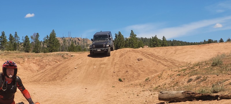
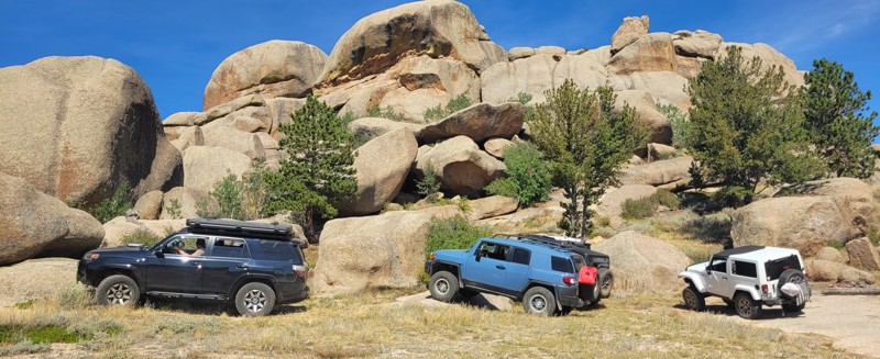
I had heard about this place and figured on a trip to Centennial to wheel that I would spend a night & day in this area. Devil's playground was a lot of fun to rock crawl in and the area of Vedawoo i...
Heather Melchior
Rated 5/5
Open
Visited: 08/18/2026
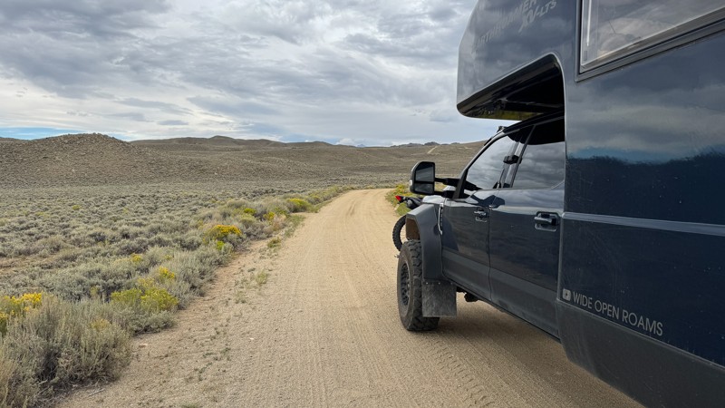
We drove the first section of Union Pass on our way to Green River Lakes Road. This section of the route is more of a graded fire road, and when we drove it, the road was pretty smooth with no obstacl...

Wide Open Roams
Official Crew
Rated 5/5
Open
Visited: 08/18/2026
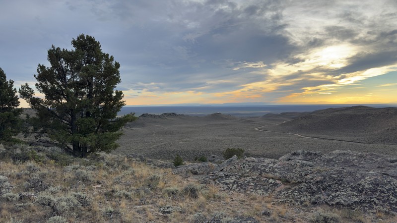
We pulled into the Irish Canyon Trail trailhead and were surprised to find the parking area completely empty. From there, we continued up the trail and found that it had recently been graded, making t...
Wide Open Roams
Official Crew
No Rating
Open
Visited: 08/11/2026
Per the MVUM, the trail is seasonally open. As always, check current fire restrictions/closures before venturing out.

Trails Offroad
No Rating
Open
Visited: 08/11/2026
Per the MVUM, the trail is seasonally open. As always, check current fire restrictions/closures before venturing out.
Trails Offroad
No Rating
Open
Visited: 08/11/2026
Per the MVUM, the trail is seasonally open. As always, check current fire restrictions/closures before venturing out.
Trails Offroad
No Rating
Open
Visited: 08/11/2026
Per the MVUM, the trail is seasonally open. As always, check current fire restrictions/closures before venturing out.
Trails Offroad
No Rating
Open
Visited: 08/11/2026
Per the MVUM, the trail is seasonally open. As always, check current fire restrictions/closures before venturing out.
Trails Offroad
Open
Visited: 08/11/2026
Per the MVUM, the trail is seasonally open. As always, check current fire restrictions/closures before venturing out.
Trails Offroad
No Rating
Open
Visited: 08/11/2026
Per the MVUM, the trail is seasonally open. As always, check current fire restrictions/closures before venturing out.
Trails Offroad
No Rating
Open
Visited: 08/11/2026
Per the MVUM, the trail is seasonally open. As always, check current fire restrictions/closures before venturing out.
Trails Offroad
No Rating
Open
Visited: 08/11/2026
Per the MVUM, the trail is seasonally open. As always, check current fire restrictions/closures before venturing out.
Trails Offroad
No Rating
Open
Visited: 08/11/2026
Per the MVUM, the trail is seasonally open. As always, check current fire restrictions/closures before venturing out.
Trails Offroad
No Rating
Open
Visited: 08/11/2026
Per the MVUM, the trail is seasonally open. As always, check current fire restrictions/closures before venturing out.
Trails Offroad
No Rating
Open
Visited: 08/11/2026
Per the MVUM, the trail is seasonally open. As always, check current fire restrictions/closures before venturing out.
Trails Offroad
No Rating
Open
Visited: 08/11/2026
Per the MVUM, the trail is seasonally open. As always, check current fire restrictions/closures before venturing out.
Trails Offroad
No Rating
Open
Visited: 08/11/2026
Per the MVUM, the trail is seasonally open. As always, check current fire restrictions/closures before venturing out.
Trails Offroad
No Rating
Open
Visited: 08/11/2026
Per the MVUM, the trail is seasonally open. As always, check current fire restrictions/closures before venturing out.
Trails Offroad
No Rating
Open
Visited: 08/11/2026
Per the MVUM, the trail is seasonally open. As always, check current fire restrictions/closures before venturing out.
Trails Offroad
No Rating
Open
Visited: 08/11/2026
Per the MVUM, the trail is seasonally open. As always, check current fire restrictions/closures before venturing out.
Trails Offroad
No Rating
Open
Visited: 08/11/2026
Per the MVUM, the trail is seasonally open. As always, check current fire restrictions/closures before venturing out.
Trails Offroad
Open
Visited: 08/10/2026
We drove Ashton-Flagg Ranch Road, also known as Grassy Lake Road, from the Grand Teton National Park side toward Idaho. The route starts out as a wide, smooth fire road and is very easy to travel. The...
Wide Open Roams
Official Crew
Rated 3/5
Open
Visited: 08/09/2026
We drove Shadow Mountain Road in search of dispersed camping, but what we found was easily the busiest trail we’ve ever seen. We were honestly surprised by just how many people were up there, especial...
Wide Open Roams
Official Crew
Rated 5/5
Open
Visited: 08/08/2026
We drove Cliff Creek while looking for some dispersed camping outside of the Jackson area, and it ended up being a very mellow route that was easy to enjoy in the EarthRoamer.
The trail is essentiall...
Wide Open Roams
Official Crew
Rated 1/5
Open
Visited: 08/01/2026
Other than the long water crossing this is basically a rough gravel road.

Mike Bromberg
Rated 1/5
Open
Visited: 07/31/2026
DO NOT go here in July or August; this is a very scenic drive, but during the busy months the road is extremely busy and camping is nonexistent. Many of the campsites looked like they've been occupi...
Mike Bromberg
Rated 4/5
Open
Visited: 07/29/2026
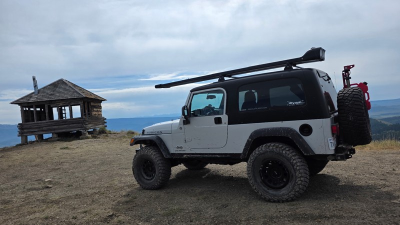
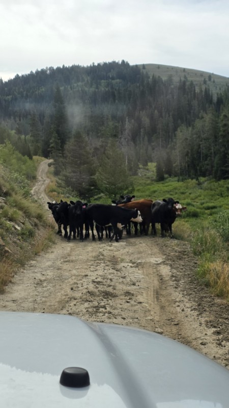
Ran this trail today while we were in the area camping and fishing. The views from the lookout are definitely worth the trip.
The road had a few muddy ruts, so I would recommend 4x4, and a little ext...
DO
Daren O
Rated 5/5
Open
Visited: 07/29/2026
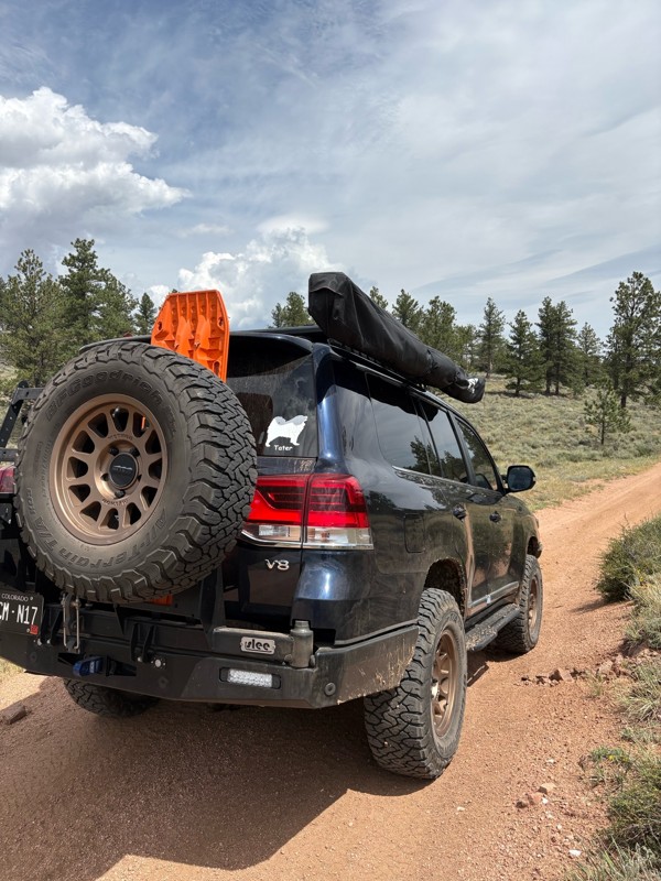
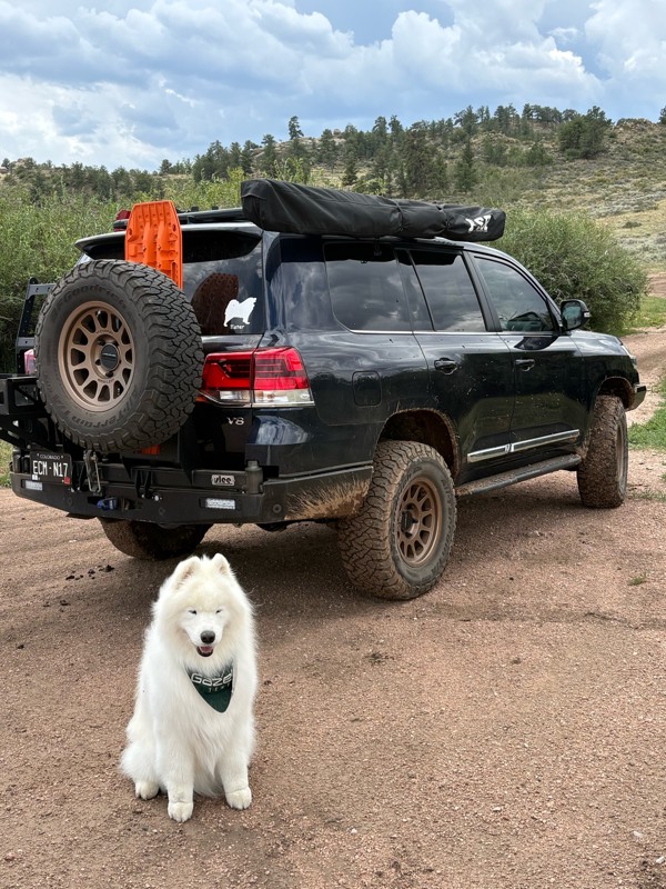
This is a super fun trail. We have been on it several times, but this was the first time running the whole trail. We ran it North to South. Coming from the Eagle rock side the trail is pretty mellow, ...
Bryan Peterson
Open
Visited: 07/26/2026
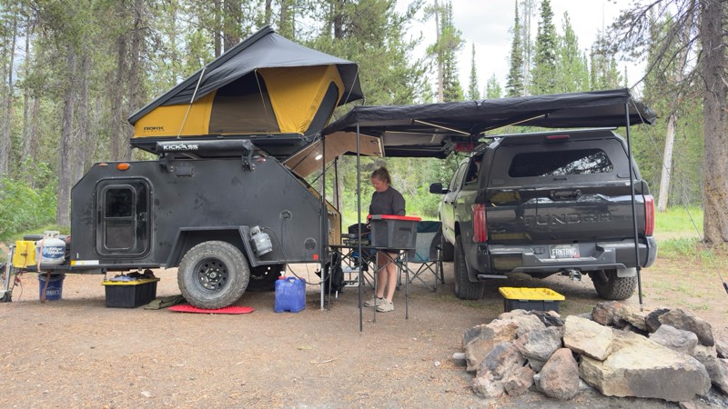
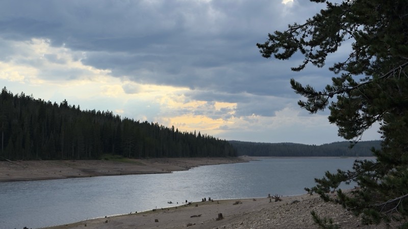
We used this trail to camp while we visited Yellowstone and Grand Teton. We camped near the reservoir as the designated sites were all occupied. We found a great dispersed site near the reservoir. I w...

Tyler Genevish
Official Crew
Rated 4/5
Open
Visited: 07/24/2026
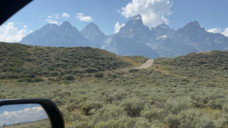
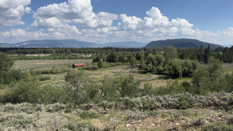
I don’t know if I’d consider this a moderate trail but it is rough and bumpy. There is a fairly steep section near the end with a blind curve at the top. Maybe if there was snow or after a rain, 4WD w...
Tyler Genevish
Official Crew
Rated 4/5
Open
Visited: 07/24/2026
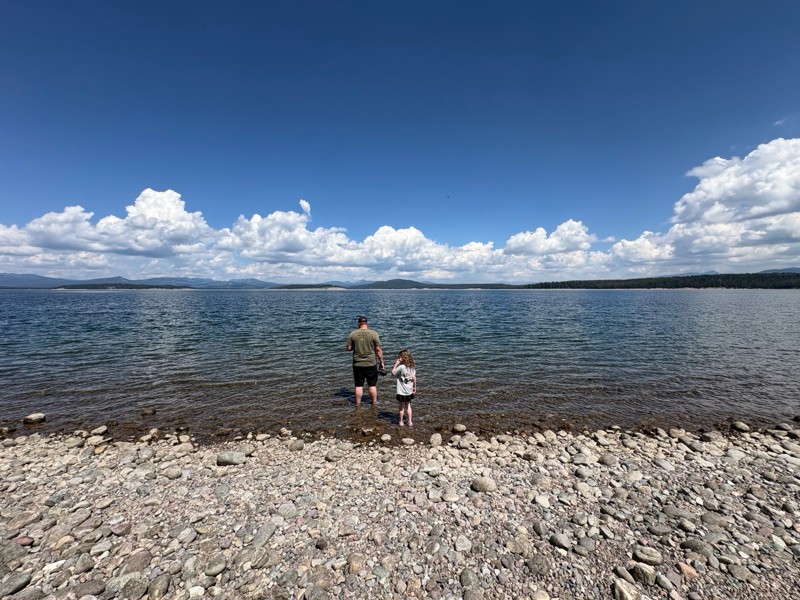
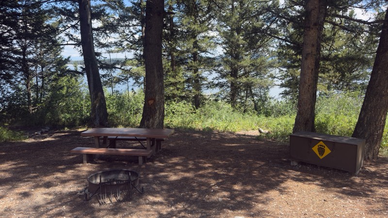
We used this trail while exploring Grand Teton to find a place for lunch. The majority of the trail is fairly easy, but at the switch back where it gets closer to the lake the trail becomes very steep...
Tyler Genevish
Official Crew
Rated 4/5
Open
Visited: 07/23/2026
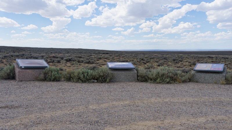
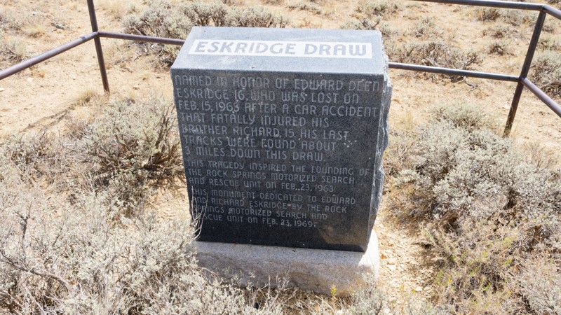
The road is very easy, it is a graded gravel road that sometimes has washboard. The views are pretty good. The county was putting a solution down to keep the dust minimal and driving over that made th...

Jay North
Official Crew
Rated 5/5
Open
Visited: 07/22/2026
Fun trail. Water levels are all pretty low compared to the pics. I don't think any crossings were above halfway up my 35" tires.
Trail is just a dirt road until waypoint 6 and then it get's rocky. ...
MF
Matt Freel
Rated 1/5
Open
Visited: 07/21/2026
Not worth the time or effort. The views are boring and the road is so bad you jiggle all of your brains and teeth out for nothing. Absolutely nothing.
Jay North
Official Crew
Rated 4/5
Open
Visited: 07/21/2026
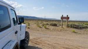
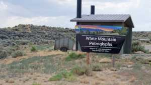
This short spur off the main dirt network runs across open sagebrush flats toward the base of White Mountain, home to one of the largest concentrations of Native American rock art in the region. The r...
Jay North
Official Crew
Rated 3/5
Open
Visited: 07/21/2026
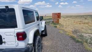
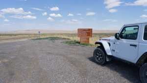
Chilton Road runs north out of Rock Springs across the open sagebrush flats of the Red Desert, ending at the Killpecker Sand Dunes Open Play Area. It is a wide, packed dirt route that serves as the ma...
Jay North
Official Crew
Rated 3/5
Open
Visited: 07/17/2026
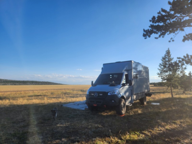
Not much scenery, anf not a lot of places to camp. This appears to be a trail heavily trafficked by side-by-sides and on the weekend, the camping sights had mostly big rigs in them with people hauling...
EB
Ethan Burnham
Rated 5/5
Open
Visited: 07/07/2026
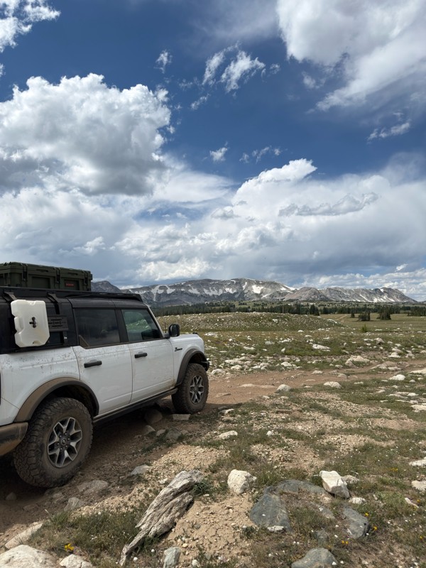
Beautiful area. Gate to the north is open, and trails to the south are open.
JL
James Lengyel
Rated 4/5
Open
Visited: 07/07/2026
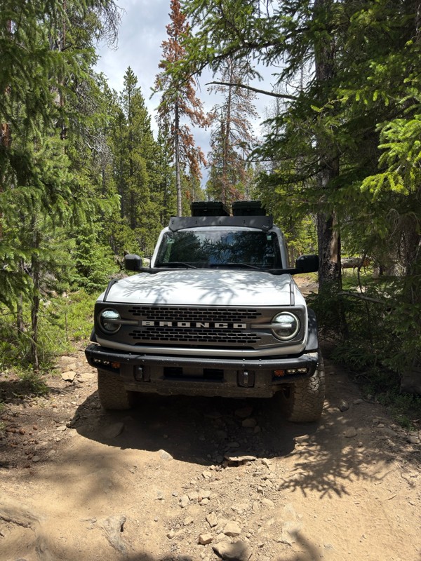
Very tight in spots, if you have a large rig it may not fit, and a poor line could come with consequences. Expect plenty of pin-striping. Would recommend having a spotter to navigate some of the tight...
JL
James Lengyel
No Rating
Open
Visited: 07/03/2026
Open for the season! very very buggy, and crowded. Granted we went on July 4th weekend. Go early enough that you can get a waterfront camping site, they seem to fill up quick.
We were in an otherwise...
TL
Tyler Lubeck
Rated 5/5
Open
Visited: 07/03/2026
Perfect way to end our trip in the Bighorns, no problem for the Sprinter 144. We did it top to bottom, most of the other traffic was heading up from Buffalo.
DB
David Bauer
Rated 4/5
Open
Visited: 06/29/2026
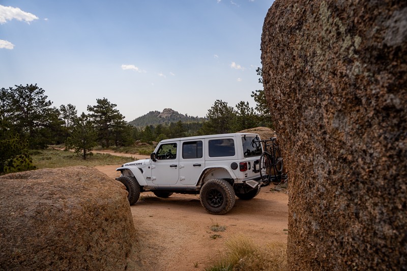
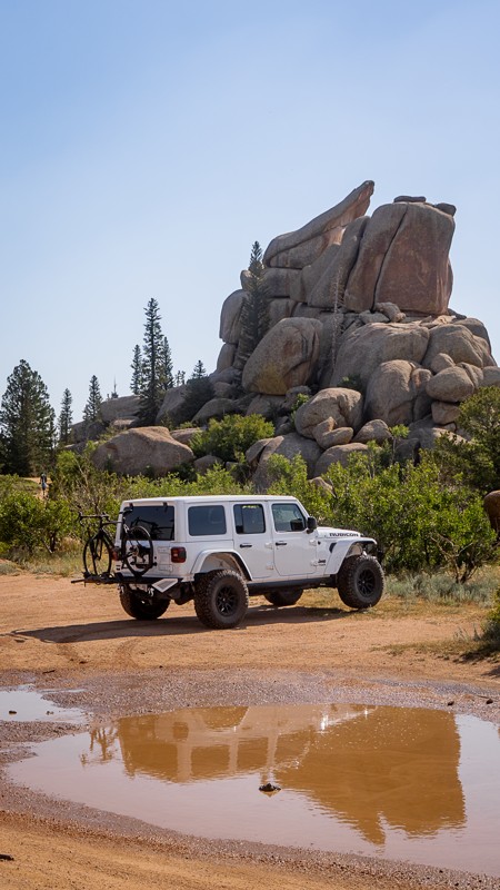
Passing through along I-80 and stopped to give this older guide a refresh. This was my first time visiting the area, even though I've driven past it many times on the interstate. Now I get what all th...

Ariana Dufour
Official Crew
Rated 4/5
Open
Visited: 06/29/2026
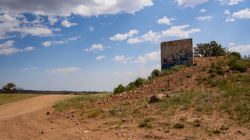
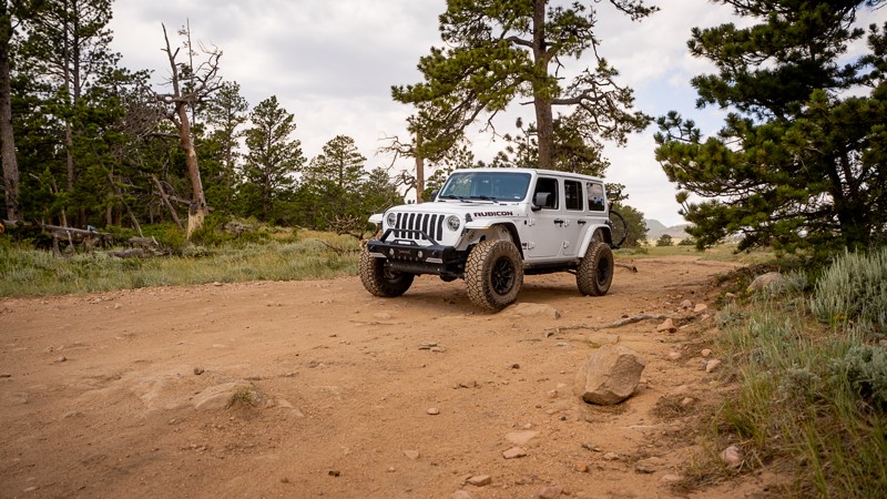
Passed through the area and stopped to refresh this trail guide with newer photos, a couple more waypoints, and an increase in difficulty rating. With time and natural erosion, the overall rating need...
Ariana Dufour
Official Crew
Most Popular

Updated: 06/25/2023
Aspen Road
Encampment, Wyoming
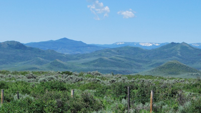
Aspen Road is one of several major side roads off of Deep Creek Road in the Sierra Madre Range of the Medicine Bow National Forest in southern Wyoming. Much of the lower portion of the trail is in thick aspen, pine, and fir forest. Occasional open meadows provide stunning views of the surrounding mountains. Near the top, the terrain opens up offering absolutely spectacular views of the beautiful Mill Creek Valley and the majestic peaks beyond. There are plenty of camping opportunities, especially along the beginning of the trail near Deep Creek Roadand at the top along the Mill Creek Valley. Aspen Road would be a nice addition to any weekend or week-long adventure in the Sierra Madres.

Updated: 10/15/2024
Battle Creek Road
Battle, Wyoming
Battle Creek Road is the main entry point into an extensive network of easy to moderate trails along the Battle Creek Valley and the surrounding rolling hills. This out and back trail is 9.5 miles each way, taking 3-4 hours for the round trip. But you can easily fill a whole day or even a couple of days exploring all the side trails and spurs in the network. Much of the trail crosses open grass and sagebrush hills with occasional stands of scrub oak and aspen and a few groves of pine and fir. Since much of the trail is out in the open, you are treated to spectacular views of the southern Sierra Madre Range as it crosses from Wyoming into Colorado. Many areas are suitable for dispersed camping, although very few have established fire rings.
Updated: 07/01/2025
Spread Creek Road
Elk, Wyoming
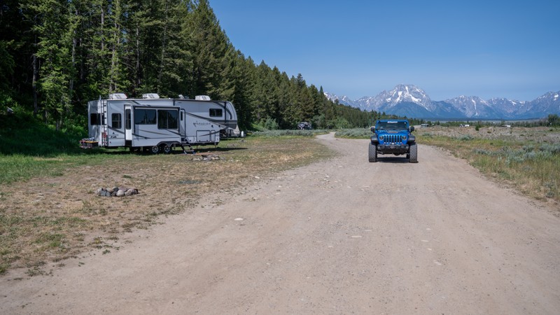
Spread Creek Road is one of the more accessible and rewarding roads for dispersed camping near Grand Teton National Park. Just a short drive from the park entrance, this dirt and gravel road leads to a network of level campsites, many offering stunning views of the Teton Range. The road winds through groves of cottonwoods and open meadows, with numerous campsites offering shady forest sites and more exposed spots with unobstructed mountain views. For new and casual off-roaders, Spread Creek Road provides an ideal introduction to vehicle-based camping with a big payoff in scenery and solitude.

Updated: 07/02/2022
Ditch East
Encampment, Wyoming
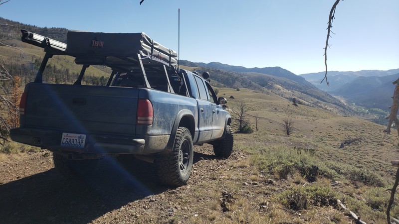
Ditch East is a delightful little diversion off of Deep Creek Road in the Sierra Madre Range of the Medicine Bow National Forest in southern Wyoming. The trail follows the Belvidere Ditch for a little more than half a mile before crossing the ditch over a culvert and climbing back up to Highway 70. The ditch bank is a narrow dike and there is not much room to maneuver to avoid branches that stick out onto the trail. The lapping of the water in the ditch and the quaking of the aspen leaves make this a tranquil and relaxing interlude as you wind your way through the beautiful forest. Ditch East can be combined with Ditch West by running one or the other backwards to extend your peaceful excursion.
Updated: 10/15/2024
Old Stage Road
Kirwin, Wyoming
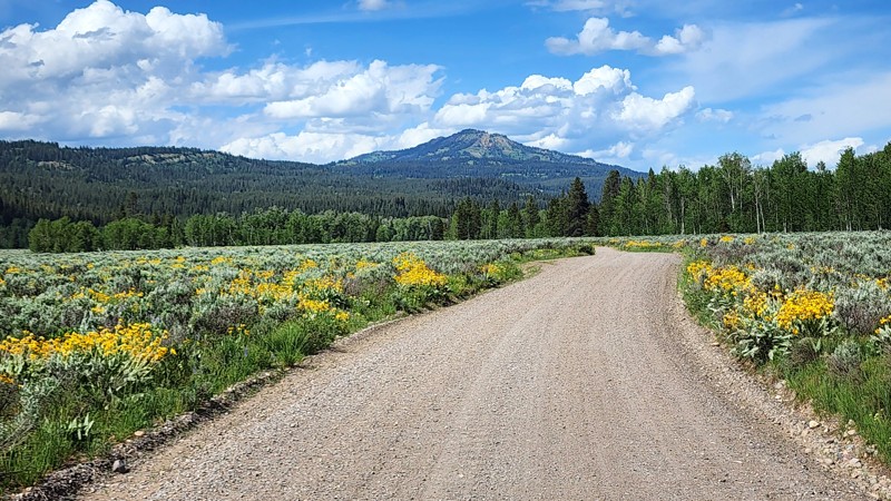
Old Stage Road is a short 1.25-mile spur off the Kirwin Trail. The gatekeeper of this trail is also its hardest obstacle, a steep climb up a loose dirt and rocky hillside. Expect a little wheel slip as you ascend this obstacle. Once past the initial climb, the road winds around some rolling hills and a few sparse trees. You are then rewarded with a spectacular view down the valley and the road you came in on as you approach one of the steepest and highest descents. The moderate difficulty of this trail comes from the relatively steep climbs and descents over the hills, and a few washouts, which would feel uneasy for a beginner driver. There are no campsites along this trail, although there are plenty on the Kirwin Trail.
Updated: 08/11/2026
Wilderness Road / Pacific Creek
Moran, Wyoming
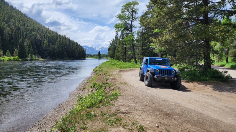
Located just outside of Moran, in the northeast corner of Grand Teton National Park, this easy, dead-end gravel road leads to the Pacific Campground and hiking trailhead, on the edge of the Teton Wilderness. It is known as both Wilderness Road by the park service, or Pacific Creek by the Forst Service. The road is two-vehicles wide the entire way and suitable for any vehicle, but anticipate significant washboard along the drive. Airing down will greatly ease in comfort.
The road passes 8 designated campsites, all offering significant space and suitable for any campsites or group size. Pacific Campground offers an additional 8, first-come first-serve sites for a nightly fee. The end of the road is a popular place for equestrian riders entering the wilderness, as evident by the many trailers and hitching posts in the trailhead parking lot.
Important Camping Notes:
- Camping in this area is restricted to designated sites only.
- A 5-day maximum stay limit is in effect from May 1st through Labor Day, and a 14-day limit the rest of the year.
- Bears are common in the area; thus, all food and attractants must be stored in bear-resistant containers or hard-sided vehicles.
- Some campsites offer on-site bear boxes, but not all campsites do.
Updated: 07/27/2026
Cattlemans Bridge Road
Moran, Wyoming
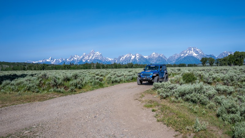
Located within Grand Teton National Park, Cattleman's Bridge once spanned the Snake River, allowing ranchers to graze cattle west of the river near the potholes. It was a wooden plank bridge constructed in the mid-1950s and finally removed in 2001. Today, this easy gravel road offers scenic views of the Tetons and the river. It is a popular place for wildlife and a great place to launch hand-powered boating vessels. The road is suitable for any vehicle and has enough parking at the end to accommodate a dozen vehicles or so.
Updated: 08/11/2025
Uhl Hill Road
Moran, Wyoming
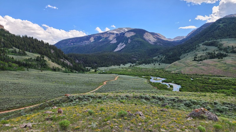
Uhl Hill Road is one of Grand Teton National Park’s lesser-known backroads, but it delivers big on views, solitude, and light offroad adventure. Starting at the intersection with Elk Ranch and Wolf Ranch Roads, it traverses sagebrush flats before gently climbing toward the base of Uhl Hill. While technically simple, the route features a mix of gravel and two-track dirt, with occasional fist-sized rocks and rutted segments that can become muddy after storms. Three shallow creek crossings add a bit of excitement without posing much risk for most vehicles. A high-clearance vehicle is recommended, especially after heavy rains, but confident drivers in stock 4WD rigs will have no trouble navigating this trail. This trail makes for a perfect detour for casual off-roaders looking to experience the grandeur of the park away from the main crowds. Expect a peaceful ride with unbeatable scenery and a dash of Wyoming history.
Keep your camera ready as this is a common place to see wildlife such as buffalo, coyotes, elk, and bears.
Updated: 08/11/2026
Red Rock Ranch Road
Kelly, Wyoming
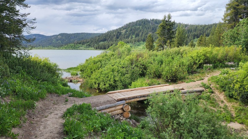
Red Rock Ranch Road is a short, dead-end spur that leads to the Crystal Creek Trailhead, a popular equestrian access point into the Gros Ventre Wilderness. The route follows alongside Crystal Creek and a private ranch, offering expansive views and a quiet setting.
At the end of the road, several large, level campsites are located near the creek banks, making it a scenic option for those looking to stage near the wilderness boundary.
The trail surface is compact bentonite that becomes increasingly rough and rocky as you travel farther in. During wet weather, this clay turns to thick, slick mud that can be impassable. When dry, it forms deep ruts and hard-edged trenches that challenge suspension and traction. This road is best suited for high-clearance vehicles equipped with four-wheel drive.
Important Camping Notes:
- A 5-day maximum stay limit is in effect from May 1st through Labor Day, and a 14-day limit the rest of the year.
- Bears are common in the area; thus, all food and attractants must be stored in bear-resistant containers or hard-sided vehicles.
Updated: 12/05/2025
Two Ocean Lake Road
Moran, Wyoming
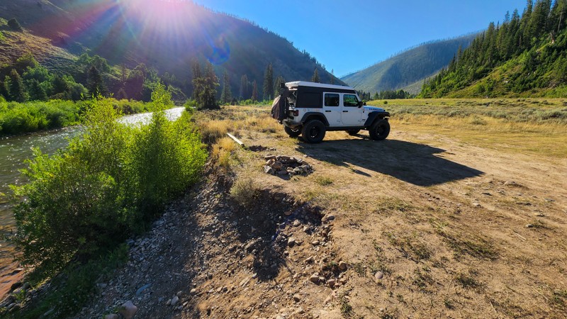
Two Ocean Lakes Road is a short, washboarded, dead-end road within the northeast corner of Grand Teton National Park. The road leads to a vault toilet and picnic grounds on the edge of Two Ocean Lakes, where several hiking trails circle the lake and enter the Teton Wilderness. The road is sufficiently wide with no passing concerns. However, vehicles over 24 feet long, trailers, and vehicles over 8 feet wide are all prohibited from traversing this road.
This is a day-use only area with no camping. It passes through prime bear habitat. Bears may be active any place and at any time. Travel in groups, make noise and carry bear spray. Hikers cannot access backcountry camping in the park from this trailhead.
Updated: 08/11/2026
Hoback River Dispersed Recreation Sites
Bondurant, Wyoming
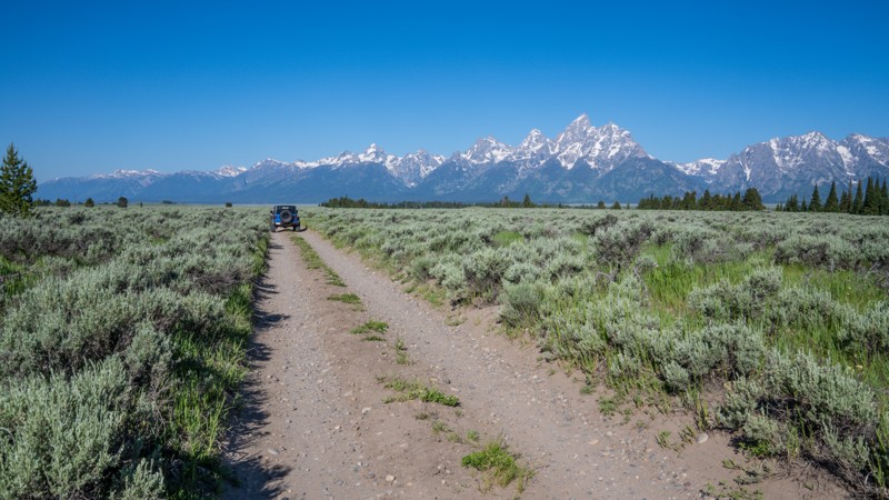
Located right on the Hoback River along Highway 189, southeast of Jackson, Wyoming, this little spur route is a fantastic camping location for any kind of camping setup. The road is easy and well packed with minimal rocks. The soil is a little soft and could become muddy with an extended wet period. The camping is flat, level, and grassy. Depending on the group sizes staying here, there are 8-10 campsites. Some sites are shaded by trees, some are very exposed.
Updated: 06/29/2026
East Boundary Road
Elk, Wyoming
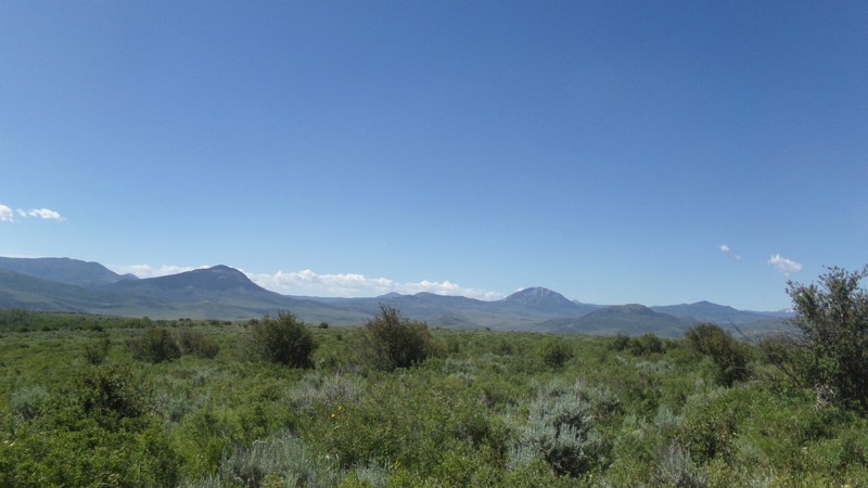
East Boundary Road is a rough but scenic high-clearance route that connects two popular camping areas: Toppings Lake to the north and Shadow Mountain to the south. The road closely follows the eastern edge of Grand Teton National Park, offering a unique route with exceptional mountain views for those prepared for the rugged terrain.
The northern end, designated FS 30333, lies within the Bridger-Teton National Forest. This segment stretches just over a quarter mile and includes campsites 4, 5, 5A, and 6. Campsite 4 is tucked deep in the trees with no views, while sites 5 through 6 are situated in a grassy clearing with panoramic vistas of the Teton Range. Each site includes a steel fire ring and bear box.
As the road enters the national park, it becomes a rougher two-track with protruding rocks and occasional mud holes. Though the scenery is outstanding, including consistent views of the Tetons, this section demands careful tire placement and is only suitable for high-clearance vehicles. No camping is permitted within the national park boundary. Drivers will also pass a few private ranch roads along this section.
At the southern end, the road transitions into FS 30344, also known as Antelope Springs. This area includes three camping zones, collectively offering 15 designated campsites. These sites vary in size but can accommodate anything from tents to RVs. Amenities include steel fire rings at every site, communal bear boxes, and a pit toilet.
The south end of the trail is conveniently located just five minutes northeast of Mormon Row, making it an ideal basecamp for exploring the area.
While both ends of East Boundary Road are generally passable with any vehicle that has decent ground clearance, the middle stretch within the national park should only be attempted by high-clearance vehicles due to rocky surfaces, ruts, and frequent mud holes.
Important Camping Notes:
- Camping in this area is restricted to designated sites only.
- A 5-day maximum stay limit is in effect from May 1st through Labor Day, and a 14-day limit the rest of the year.
- Bears are common in the area; thus, all food and attractants must be stored in bear-resistant containers or hard-sided vehicles.
- Some campsites offer on-site bear boxes, but not all campsites do.
Updated: 10/15/2024
Battle Creek Spur 1D
Battle, Wyoming
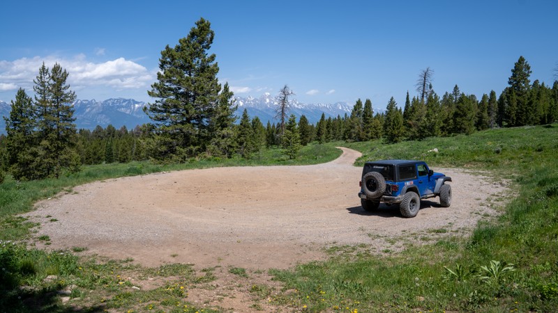
This fairly short spur off Battle Creek Road descends steeply through very thick brush to a dead end at private property near the Colorado state line. Expect branches to scrape the sides of your rig and possibly knock your CB antenna off. Before you start down the steep hill, there are nice views and room for four to five rigs to turn around at the bottom. There are no suitable camping sites on this spur, but camping is available on Battle Creek Road or West Sheep Mountain.
Updated: 08/11/2026
Jackson Peak
Jackson, Wyoming
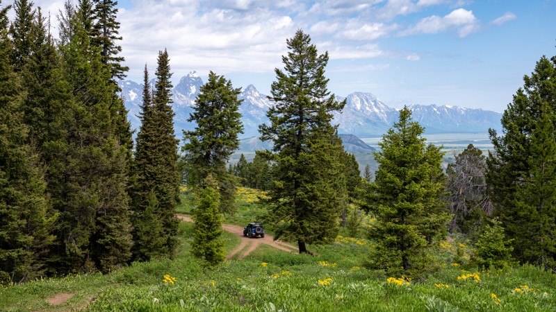
Jackson Creek Road is a short, rugged spur leading to the trailhead for both the Jackson Peak and Goodwin Lake hiking trails, situated at the edge of the Gros Ventre Wilderness. The road is moderately technical and features a persistent bed of softball to grapefruit-sized rocks, along with deep erosion ruts that can easily swallow a tire and high-center a vehicle. The final ascent to the turnaround at the trailhead is especially rocky and uneven, requiring precise tire placement and good suspension. This road is only suitable for high-clearance 4WD vehicles. Passenger SUVs and crossovers should not attempt this drive.
Despite its rough condition, the road rewards with stunning wildflower displays in summer and a pair of large, designated campsites. These sites are level and spacious, easily accommodating any group. The views near the trailhead include sweeping vistas of the Teton Range, offering a worthy payoff for those making the climb.
Important Camping Notes:
- Camping in this area is restricted to designated sites only.
- A 5-day maximum stay limit is in effect from May 1st through Labor Day, and a 14-day limit the rest of the year.
- Bears are common in the area; thus, all food and attractants must be stored in bear-resistant containers or hard-sided vehicles.
- Some campsites offer on-site bear boxes, but not all campsites do.
Updated: 08/11/2026
Sheep Creek Spur
Kelly, Wyoming
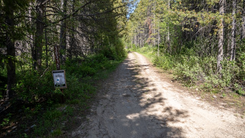
Sheep Creek Spur is a short, dead-end spur off Curtis Canyon and Sheep Creek Road that leads to three designated campsites and the boundary of the Gros Ventre Wilderness. The road begins easily enough, with the first few hundred yards offering relatively smoother terrain up to the campsites. Each site provides excellent views of the surrounding hills and makes for a quiet, scenic overnight stop.
Beyond the campsites, the road narrows into a rough, rocky single-lane shelf section with no room for passing. This portion is challenging, with uneven terrain and steep drop-offs to one side, and should only be attempted by high-clearance vehicles with confident drivers who have previous shelf road experience. The spur ends at a small turnaround near the wilderness boundary. While views remain partially visible along the shelf road, the best scenery is found near the campsites.
Important Camping Notes:
- Camping in this area is restricted to designated sites only.
- A 5-day maximum stay limit is in effect from May 1st through Labor Day, and a 14-day limit the rest of the year.
- Bears are common in the area; thus, all food and attractants must be stored in bear-resistant containers or hard-sided vehicles.
- Some campsites offer on-site bear boxes, but not all campsites do.
Updated: 08/11/2026
Brush Creek
Elk, Wyoming
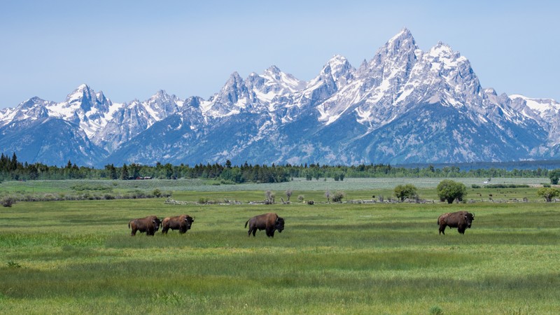
Brush Creek is a short but rugged connector route tucked into the Bridger-Teton National Forest. Running between Toppings Lake and Lower Spread Creek roads, this trail serves a practical purpose for off-roaders looking to link routes without backtracking. Despite its lack of technical challenge, the trail’s surface is a bed of baseball-to-grapefruit-sized rocks that demand slower travel and steady tire placement. It's not a long route, but it does pack in enough rock chatter to make high clearance a necessity. The trail offers limited passing opportunities along a single-vehicle-wide road where wider vehicles are guaranteed pinstriping.
Although Brush Creek is mostly used as a jump route between longer, designated camping forest roads, there are a couple of tucked-away dispersed campsites for those who want to linger in the dense forest surroundings. These sites are small and infrequent, but they work if you are in a pinch or just want to be as remote as possible. Drivers with moderate experience will be comfortable here, especially those familiar with navigating uneven rock-strewn surfaces.
Important Camping Notes:
- Camping along the two access roads in this area is restricted to designated sites only.
- A 5-day maximum stay limit is in effect from May 1st through Labor Day, and a 14-day limit the rest of the year.
- Bears are common in the area; thus, all food and attractants must be stored in bear-resistant containers or hard-sided vehicles.
- Some campsites offer on-site bear boxes, but not all campsites do.
Updated: 08/11/2025
Wolf Ranch Road
Moran, Wyoming
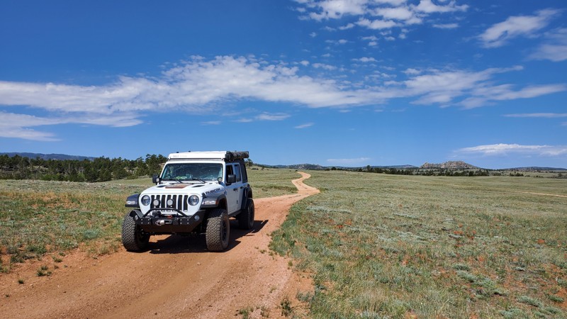
Wolf Ranch Road is a lesser-traveled gem within Grand Teton National Park that offers sweeping vistas, rich history, and a peaceful off-pavement driving experience. The road begins just east of the highway and immediately puts you on a well-maintained gravel track that winds through broad sagebrush flats. With the Teton Range towering in the background, the drive is a visual feast nearly the entire way. Along Wolf Ranch Road, you’ll pass historic log cabins and ranch structures that harken back to the region’s early settler era. The road parallels cottonwood-lined irrigation ditches and open pastures, where wildlife sightings are common. Bison frequently graze in the surrounding meadows, and it’s not unusual to spot a bald eagle or pronghorn in the distance. It’s especially enjoyable in the late spring through early fall, when wildflowers are in bloom and wildlife is most active.
The terrain is flat and easygoing, suitable for nearly any vehicle. However, low clearance vehicles will need to treat this as an out-and-back road. High clearance vehicles can continue to make this journey a loop with Elk Ranch Road, where you will encounter two deep water crossings.
Updated: 08/11/2026
Merritt Ranch/Boundary Road
Hirsig, Wyoming
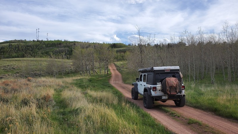
Located on the outskirts of Medicine Bow National Forest, colloquially referred to as "Happy Jack," this is one of the trails in the area that is more suited for smaller rigs. As you make your way off the beaten path, you will find yourself driving through narrow stretches of tight trees on a fun two-track trail. While this trail is a bit more difficult than most other dirt roads in the area, any 2WD truck/van or AWD passenger car will have little difficulty completing this trail. This trail has a good bit of camping nicely tucked away from the higher-profile spots that attract the larger camp rigs. Since this is a boundary trail, the traffic tends to be slightly less than in other parts of this forest.
Updated: 10/15/2024
Telephone Extension
Laramie, Wyoming
Located in the interior of Medicine Bow National Forest, colloquially referred to as "Happy Jack," this is one of the area's trails more suited for smaller rigs. As you make your way off the beaten path, you will find yourself driving through narrow stretches of tight trees on a fun two-track trail. While this trail is a bit more difficult than most other dirt roads in the area, any 2WD truck, van, or AWD passenger car will have little difficulty completing this trail. This trail contains lots of large Aspen tree stands, which in the Fall turn that famous shade of gold. While most of Happy Jack is flat, this trail is a welcome change offering some fun ups and downs through the hilly landscape. If you are in a smaller rig, this trail will keep you a bit more entertained than most other trails in this area.
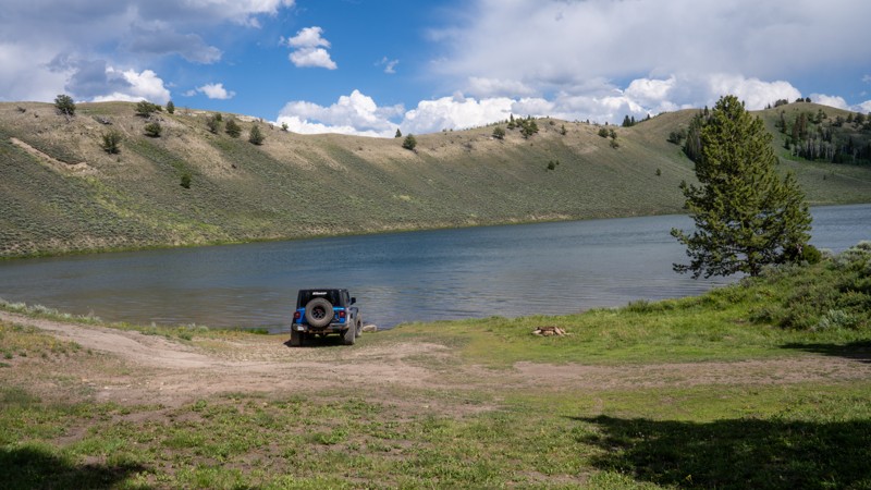
Updated: 08/11/2026
Soda Lake
Jack Pine, Wyoming
Soda Lake is a rough, out-and-back spur trail that leads to its namesake lake and a trailhead providing access to the Gros Ventre Wilderness. The road is a single-vehicle-wide track of hard-packed dirt with embedded rocks up to eight inches in height. Along the way, drivers will navigate a moderately steep hill that becomes impassable when wet due to the slick bentonite soil.
Before reaching the lake, there is one grassy dispersed campsite. At the lake itself, two to three large sites sit along the shoreline, offering a peaceful and scenic setting for overnight stays.
This trail is generally easy in dry conditions and can be traveled with a two-wheel-drive vehicle, but only if it has high ground clearance. The rocky and uneven terrain makes it unsuitable for low-clearance vehicles, especially after rain.
Important Camping Notes:
- A 5-day maximum stay limit is in effect from May 1st through Labor Day, and a 14-day limit the rest of the year.
- Bears are common in the area; thus, all food and attractants must be stored in bear-resistant containers or hard-sided vehicles.
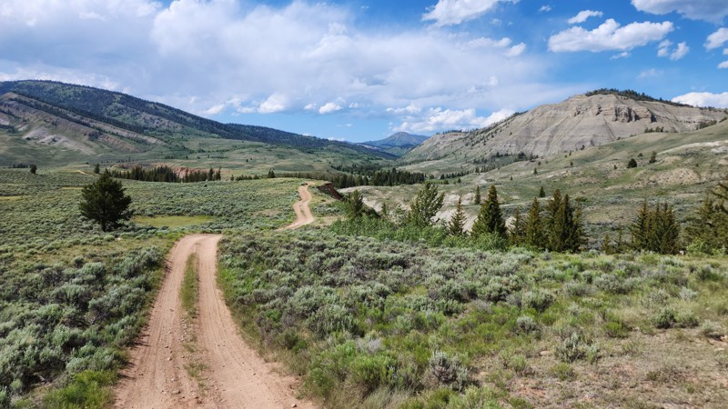
Updated: 08/11/2026
Slate Creek Loop
Kelly, Wyoming
Slate Creek Loop is a scenic, horseshoe-shaped spur off Gros Ventre Road, located in a remote stretch of the Bridger-Teton National Forest. The road follows the cliffs above the Gros Ventre River and crosses through open sagebrush country on its way to the Slate Creek Trailhead, a popular hiking and OHV parking area.
Dispersed campsites are found throughout the loop, many with wide-open views of the surrounding wilderness. However, the area offers little protection from the sun and wind due to minimal tree cover. All observed campsites are large and level, making them suitable for any camp setup and capable of accommodating groups of various sizes.
The western half of Slate Creek Loop is a wide, easy gravel road that can be traveled by most vehicles, including RVs and trailers. In contrast, the eastern half transitions to a narrow two-track with ruts and protruding rocks up to five inches in height. This section requires a high-clearance vehicle and is better suited for drivers with some off-pavement experience.
Important Camping Notes:
- A 5-day maximum stay limit is in effect from May 1st through Labor Day, and a 14-day limit the rest of the year.
- Bears are common in the area; thus, all food and attractants must be stored in bear-resistant containers or hard-sided vehicles.
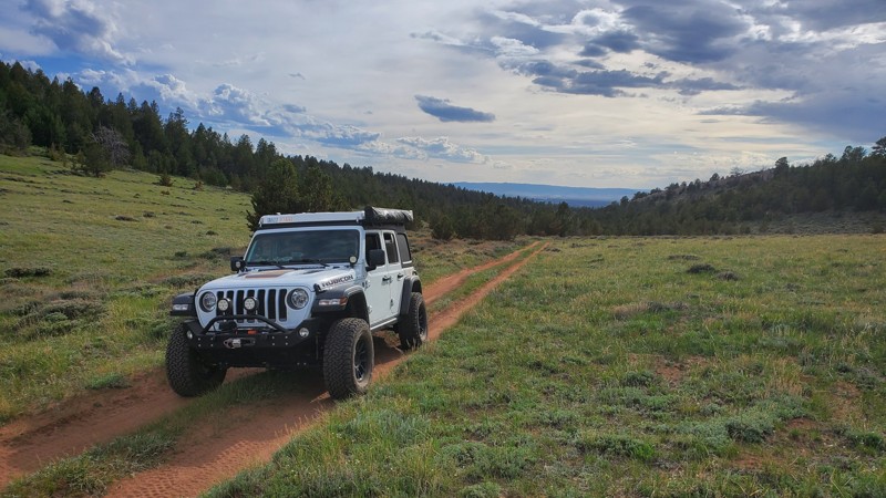
Updated: 08/11/2026
Laycock Spring
Laramie, Wyoming
Located on the outskirts of Medicine Bow National Forest, colloquially referred to as "Happy Jack," this is one of the trails in the area that is more suited for smaller rigs. As you make your way off the beaten path, you will find yourself driving through narrow stretches of tight trees along a fun two-track trail. While this trail is a bit more difficult than most other dirt roads in the area, any 2WD truck/van or AWD passenger car will have little difficulty completing this trail. There is virtually no camping off this trail, and the dead-end at the end makes it for a very anti-climatic ending.
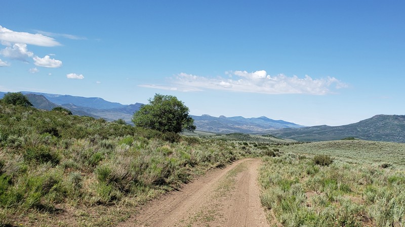
Updated: 10/15/2024
West Sheep Mountain
Battle, Wyoming
West Sheep Mountain is the second major trail in the extensive network of trails around Battle Creek. It runs southwest from the middle of Battle Creek Road 4.3 miles before ending at private property a little shy of the Colorado border. The road surface is easy two-track the entire way with an occasional bumpy spot. Like Battle Creek Road, it crosses rolling hills of grass and sagebrush with occasional stands of aspen, groves of scrub oak, and patches of pine and fir. Combining this trail with some of the spurs and connectors in the network makes for a relaxing, scenic day. There are many suitable sites for camping, but only a few have established fire rings.
Updated: 06/29/2026
Hill 8821
Laramie, Wyoming
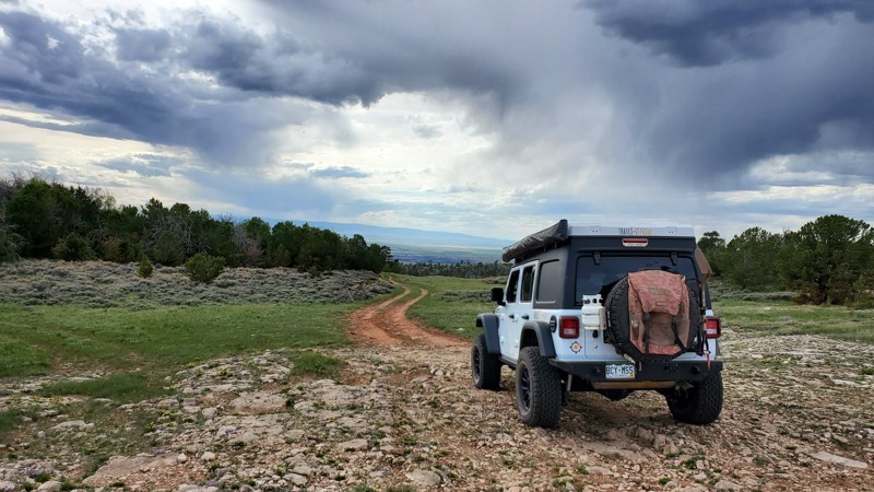
Located on the outskirts of Medicine Bow National Forest, colloquially referred to as "Happy Jack," this is one of the trails in the area that is more suited for smaller rigs. As you make your way off the beaten path, you will find yourself driving over some large rocky slabs, eventually taking you to the forest boundary with some great views of Laramie. If you can handle the wind that Wyoming is famous for, this would not be a bad place to set up camp for the night, away from the hustle and bustle of the more accessible roads in the area. While this trail is a bit more difficult than most other dirt roads in the area, any 2WD truck, van, or AWD passenger car will have little difficulty completing this trail. While camping is not abundant, there are a few nice spots to post up for the night and allow for close proximity to some of the hiking/biking trails for which Happy Jack is known.

Upgrade your Membership
Unlock all of the details on every Trail Guide and Scout Route.
Start a 7-day Free TrialCommunity
Partners

