


By clicking "ACCEPT", you agree to be the terms and conditions of each policy linked to above. You also agree to the storing of cookies on your device to facilitate the operation and functionality of our site, enhance and customize your user experience, and to analyze how our site is used.
Wyoming Off-Road Trails
25
Total Trail Guides 23

282
Detailed Waypoints 61
Try a Free 7-Day Trial and unlock it all
Start a Free Trial Most Recent Trail Reviews
No Rating
Open
Visited: 09/13/2026
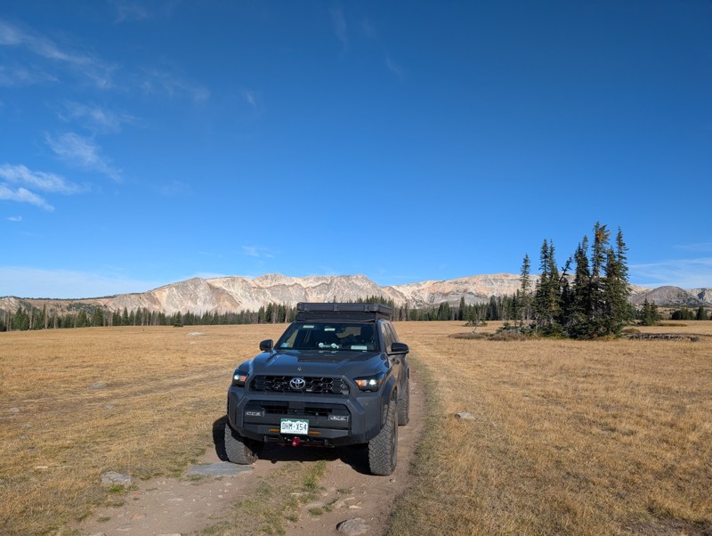
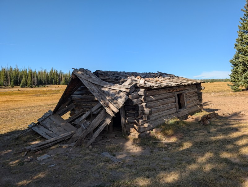
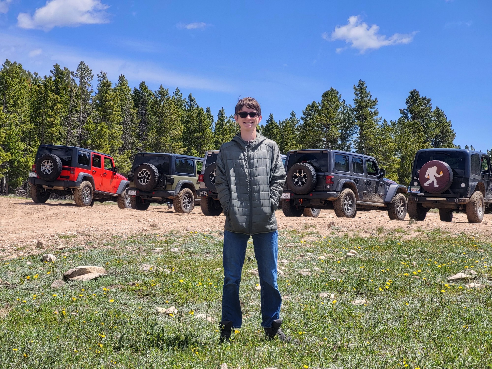
Short and very scenic trail. It does get pretty rocky in some sections but nothing crazy. We didn't run into any issues in our 4Runner. The views from the upper section are unbeatable and the old cabi...

Lee Juszak
Rated 4/5
Open
Visited: 09/12/2026
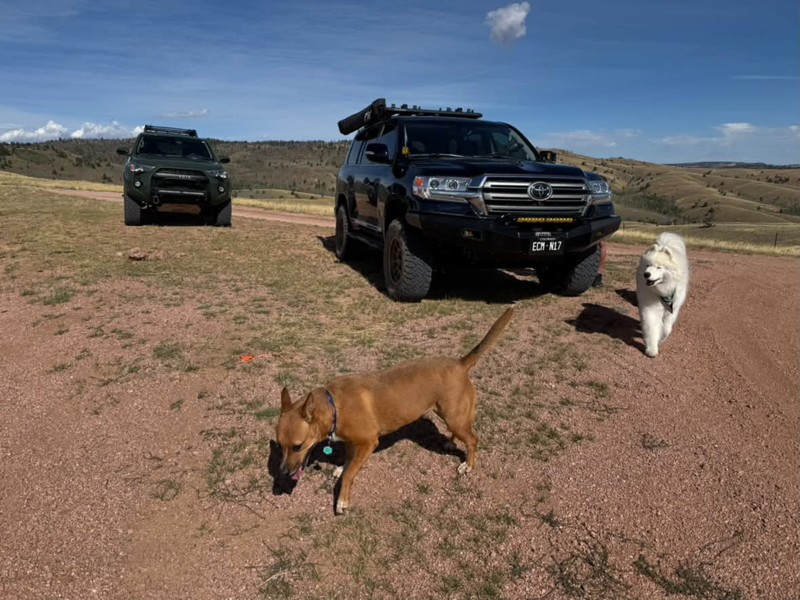
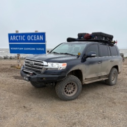
A favorite especially to combine with other close by trails. We actually found a couple of more great camp spots on this trip. It’s an easy road with a few small obstacles on the north side. The trail...
Bryan Peterson
Rated 5/5
Open
Visited: 09/12/2026
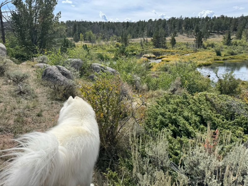
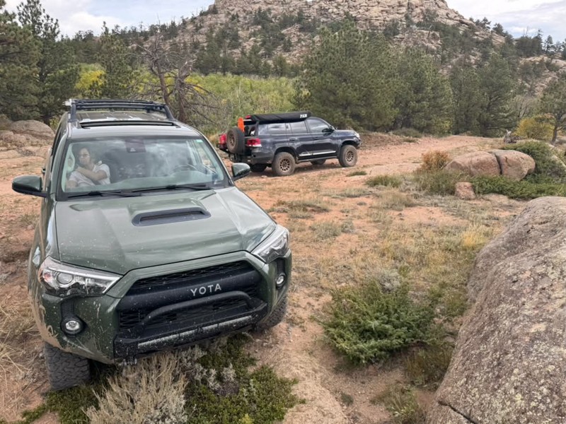
Always one of our favorites! Seems to get more off camber every time🤷♂️ We ran it again from north to south, still such a great trail and the obstacles just keep getting better😃 All mud puddles are...
Bryan Peterson
No Rating
Open
Visited: 09/11/2026
After years, the trail has been repaired and is now open as per the FS
TA
texas aggie
Rated 5/5
Open
Visited: 08/22/2026
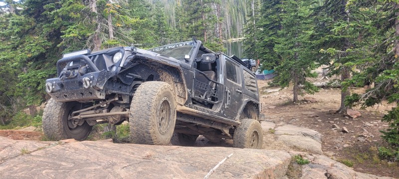
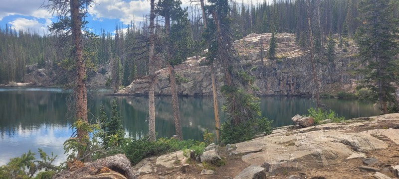
We set up camp at waypoint 6 and the next day ran this from 6 to 1. Let me just say that this trail is worth coming to this area of Wyoming for. The snowy range is so pretty, there was some challenge...

Heather Melchior
Rated 5/5
Open
Visited: 08/21/2026
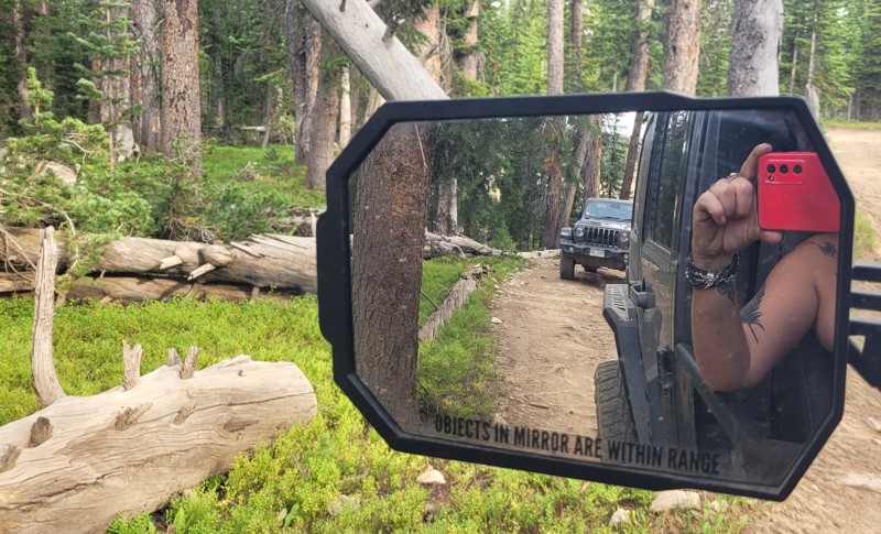
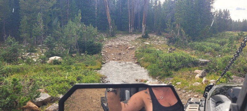
A small group of us ran this and there are about 3 really nice creek crossings. We ended up setting up camp where this & Libby Flats connects. Pretty easy trail. Most of this trail go through the wo...
Heather Melchior
Rated 4/5
Open
Visited: 08/21/2026
A group of us ran this to get to Jim Creek & Libby Flats. It wasn't anything special. Pretty easy "dirt road". Only ran it to waypoint 6.
Heather Melchior
Rated 5/5
Open
Visited: 08/21/2026
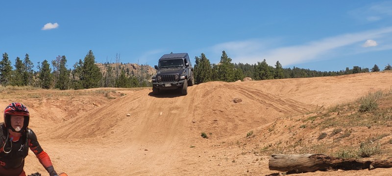
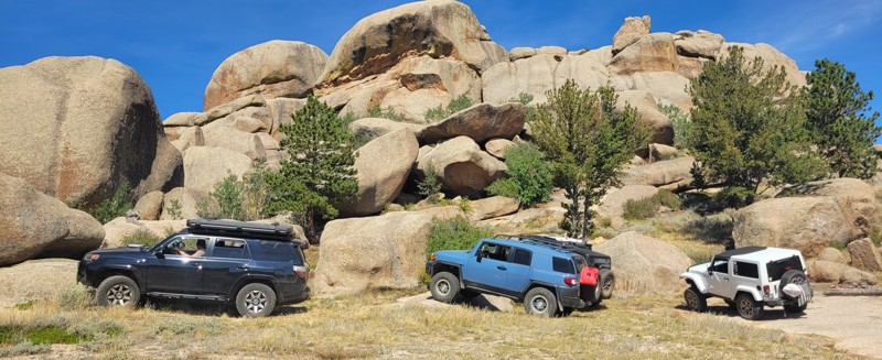
I had heard about this place and figured on a trip to Centennial to wheel that I would spend a night & day in this area. Devil's playground was a lot of fun to rock crawl in and the area of Vedawoo i...
Heather Melchior
Rated 5/5
Open
Visited: 08/18/2026
We drove the first section of Union Pass on our way to Green River Lakes Road. This section of the route is more of a graded fire road, and when we drove it, the road was pretty smooth with no obstacl...

Wide Open Roams
Official Crew
Rated 5/5
Open
Visited: 08/18/2026
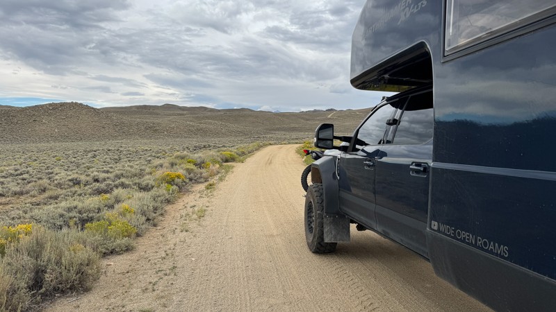
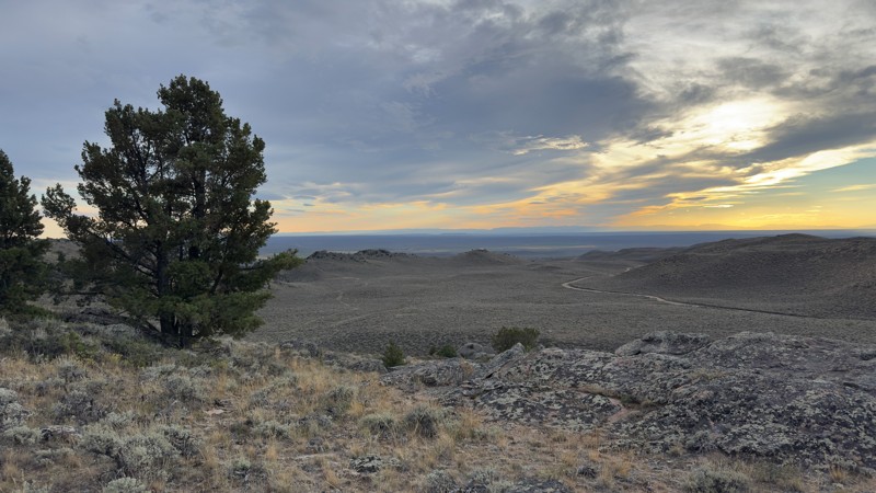
We pulled into the Irish Canyon Trail trailhead and were surprised to find the parking area completely empty. From there, we continued up the trail and found that it had recently been graded, making t...
Wide Open Roams
Official Crew
No Rating
Open
Visited: 08/11/2026
Per the MVUM, the trail is seasonally open. As always, check current fire restrictions/closures before venturing out.

Trails Offroad
No Rating
Open
Visited: 08/11/2026
Per the MVUM, the trail is seasonally open. As always, check current fire restrictions/closures before venturing out.
Trails Offroad
No Rating
Open
Visited: 08/11/2026
Per the MVUM, the trail is seasonally open. As always, check current fire restrictions/closures before venturing out.
Trails Offroad
No Rating
Open
Visited: 08/11/2026
Per the MVUM, the trail is seasonally open. As always, check current fire restrictions/closures before venturing out.
Trails Offroad
No Rating
Open
Visited: 08/11/2026
Per the MVUM, the trail is seasonally open. As always, check current fire restrictions/closures before venturing out.
Trails Offroad
Open
Visited: 08/11/2026
Per the MVUM, the trail is seasonally open. As always, check current fire restrictions/closures before venturing out.
Trails Offroad
No Rating
Open
Visited: 08/11/2026
Per the MVUM, the trail is seasonally open. As always, check current fire restrictions/closures before venturing out.
Trails Offroad
No Rating
Open
Visited: 08/11/2026
Per the MVUM, the trail is seasonally open. As always, check current fire restrictions/closures before venturing out.
Trails Offroad
No Rating
Open
Visited: 08/11/2026
Per the MVUM, the trail is seasonally open. As always, check current fire restrictions/closures before venturing out.
Trails Offroad
No Rating
Open
Visited: 08/11/2026
Per the MVUM, the trail is seasonally open. As always, check current fire restrictions/closures before venturing out.
Trails Offroad
No Rating
Open
Visited: 08/11/2026
Per the MVUM, the trail is seasonally open. As always, check current fire restrictions/closures before venturing out.
Trails Offroad
No Rating
Open
Visited: 08/11/2026
Per the MVUM, the trail is seasonally open. As always, check current fire restrictions/closures before venturing out.
Trails Offroad
No Rating
Open
Visited: 08/11/2026
Per the MVUM, the trail is seasonally open. As always, check current fire restrictions/closures before venturing out.
Trails Offroad
No Rating
Open
Visited: 08/11/2026
Per the MVUM, the trail is seasonally open. As always, check current fire restrictions/closures before venturing out.
Trails Offroad
No Rating
Open
Visited: 08/11/2026
Per the MVUM, the trail is seasonally open. As always, check current fire restrictions/closures before venturing out.
Trails Offroad
No Rating
Open
Visited: 08/11/2026
Per the MVUM, the trail is seasonally open. As always, check current fire restrictions/closures before venturing out.
Trails Offroad
No Rating
Open
Visited: 08/11/2026
Per the MVUM, the trail is seasonally open. As always, check current fire restrictions/closures before venturing out.
Trails Offroad
No Rating
Open
Visited: 08/11/2026
Per the MVUM, the trail is seasonally open. As always, check current fire restrictions/closures before venturing out.
Trails Offroad
Open
Visited: 08/10/2026
We drove Ashton-Flagg Ranch Road, also known as Grassy Lake Road, from the Grand Teton National Park side toward Idaho. The route starts out as a wide, smooth fire road and is very easy to travel. The...
Wide Open Roams
Official Crew
Rated 3/5
Open
Visited: 08/09/2026
We drove Shadow Mountain Road in search of dispersed camping, but what we found was easily the busiest trail we’ve ever seen. We were honestly surprised by just how many people were up there, especial...
Wide Open Roams
Official Crew
Rated 5/5
Open
Visited: 08/08/2026
We drove Cliff Creek while looking for some dispersed camping outside of the Jackson area, and it ended up being a very mellow route that was easy to enjoy in the EarthRoamer.
The trail is essentiall...
Wide Open Roams
Official Crew
Rated 1/5
Open
Visited: 08/01/2026
Other than the long water crossing this is basically a rough gravel road.

Mike Bromberg
Rated 1/5
Open
Visited: 07/31/2026
DO NOT go here in July or August; this is a very scenic drive, but during the busy months the road is extremely busy and camping is nonexistent. Many of the campsites looked like they've been occupi...
Mike Bromberg
Rated 4/5
Open
Visited: 07/29/2026
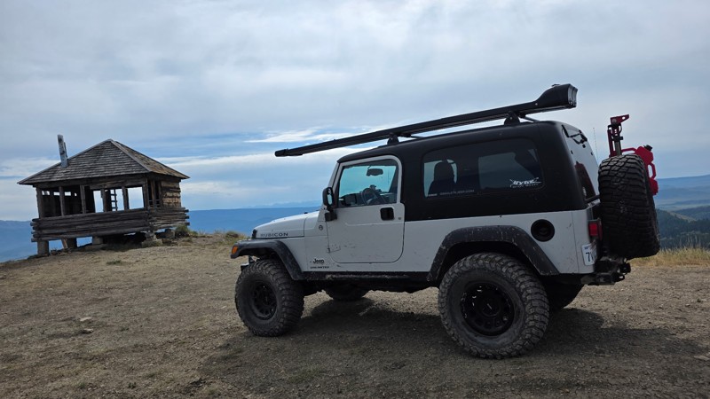
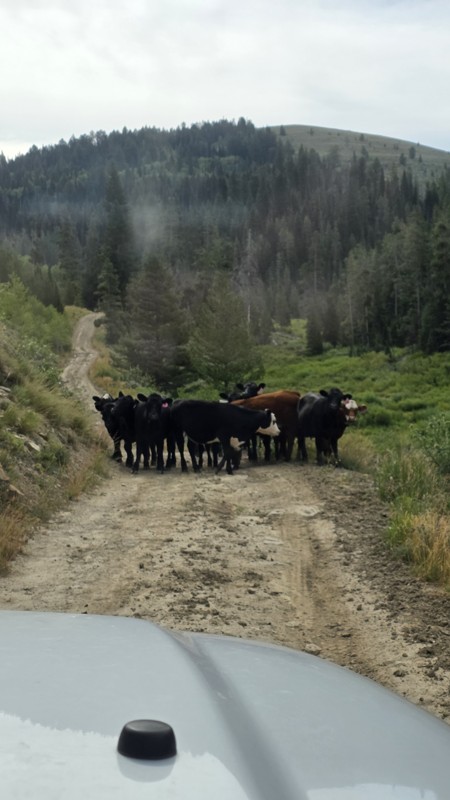
Ran this trail today while we were in the area camping and fishing. The views from the lookout are definitely worth the trip.
The road had a few muddy ruts, so I would recommend 4x4, and a little ext...
DO
Daren O
Rated 5/5
Open
Visited: 07/29/2026
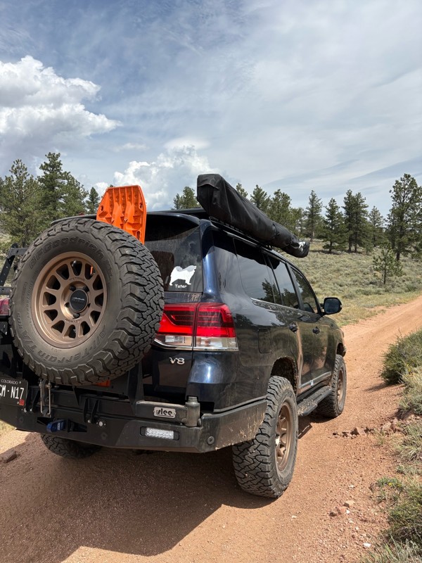
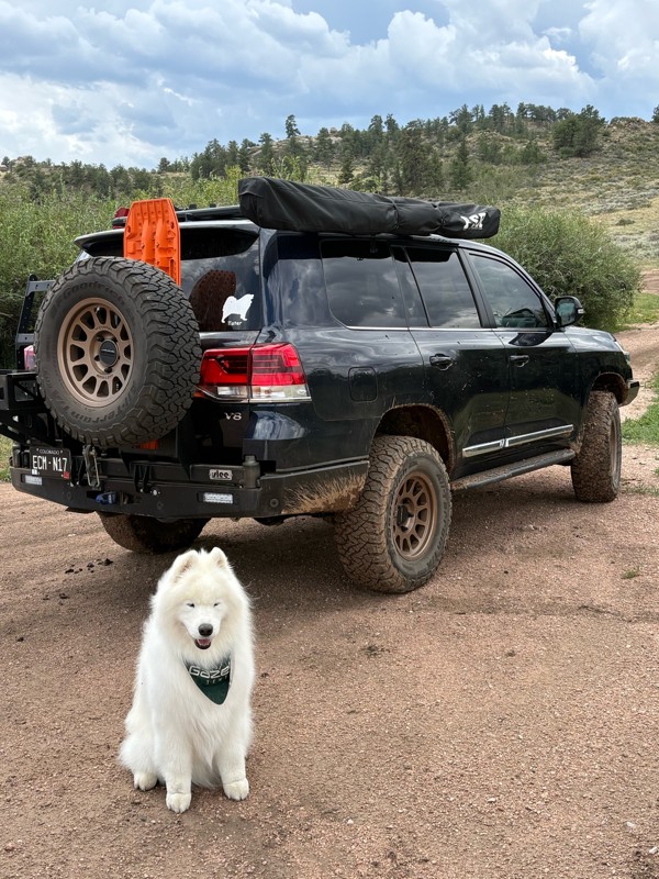
This is a super fun trail. We have been on it several times, but this was the first time running the whole trail. We ran it North to South. Coming from the Eagle rock side the trail is pretty mellow, ...
Bryan Peterson
Open
Visited: 07/26/2026
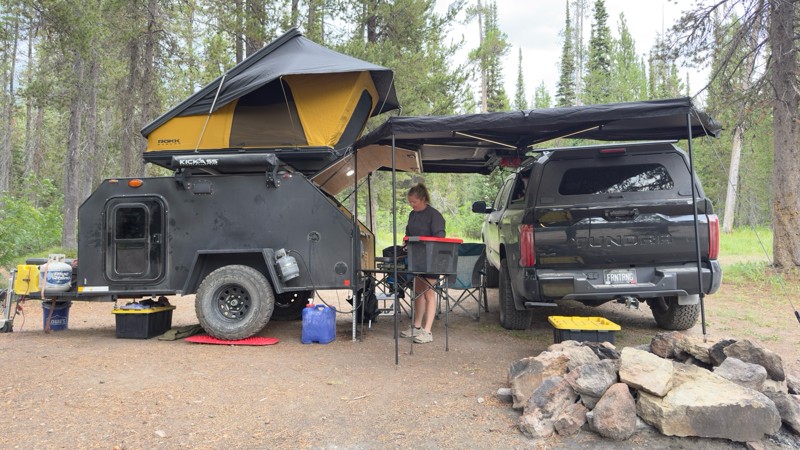
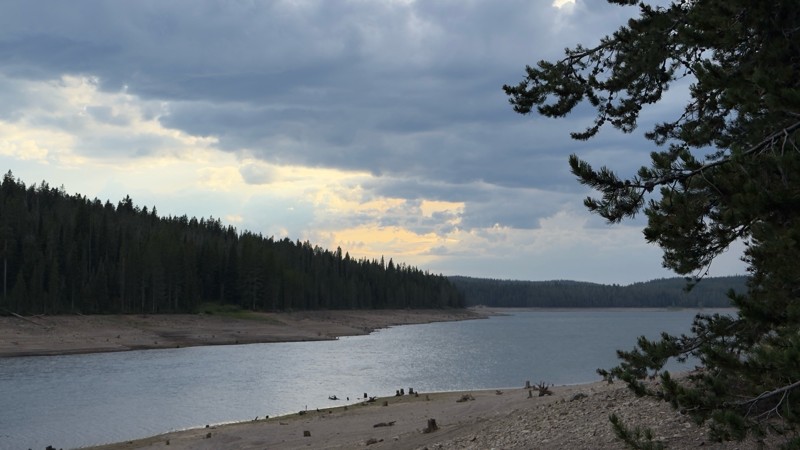
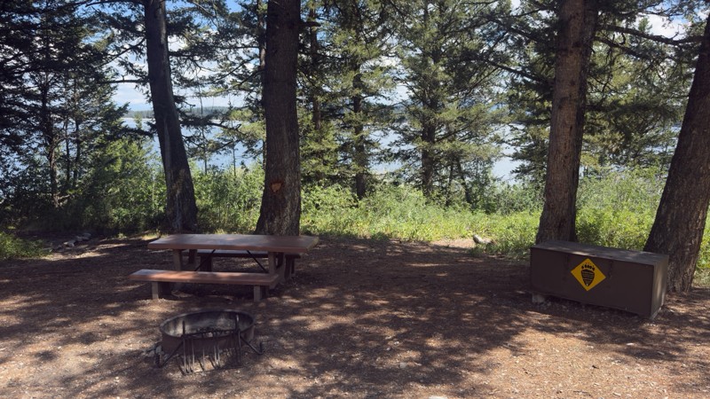
We used this trail to camp while we visited Yellowstone and Grand Teton. We camped near the reservoir as the designated sites were all occupied. We found a great dispersed site near the reservoir. I w...

Tyler Genevish
Official Crew
Rated 4/5
Open
Visited: 07/24/2026
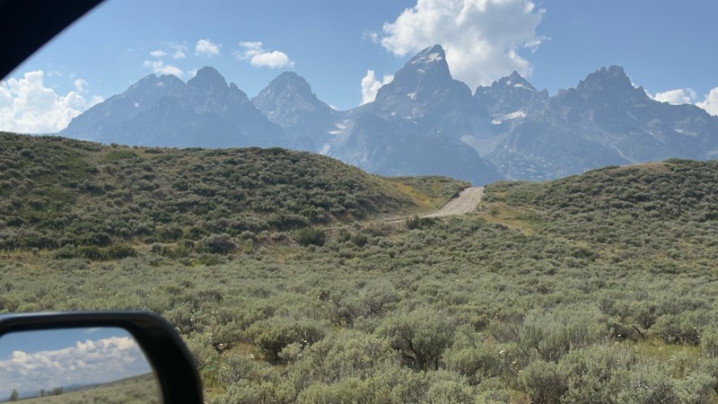
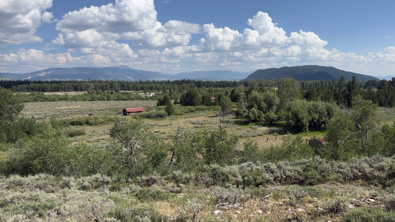
I don’t know if I’d consider this a moderate trail but it is rough and bumpy. There is a fairly steep section near the end with a blind curve at the top. Maybe if there was snow or after a rain, 4WD w...
Tyler Genevish
Official Crew
Rated 4/5
Open
Visited: 07/24/2026
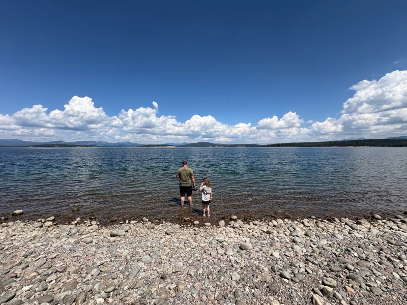
We used this trail while exploring Grand Teton to find a place for lunch. The majority of the trail is fairly easy, but at the switch back where it gets closer to the lake the trail becomes very steep...
Tyler Genevish
Official Crew
Rated 4/5
Open
Visited: 07/23/2026
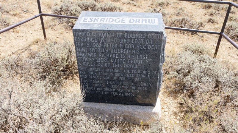
The road is very easy, it is a graded gravel road that sometimes has washboard. The views are pretty good. The county was putting a solution down to keep the dust minimal and driving over that made th...

Jay North
Official Crew
Rated 5/5
Open
Visited: 07/22/2026
Fun trail. Water levels are all pretty low compared to the pics. I don't think any crossings were above halfway up my 35" tires.
Trail is just a dirt road until waypoint 6 and then it get's rocky. ...
MF
Matt Freel
Rated 1/5
Open
Visited: 07/21/2026
Not worth the time or effort. The views are boring and the road is so bad you jiggle all of your brains and teeth out for nothing. Absolutely nothing.
Jay North
Official Crew
Rated 4/5
Open
Visited: 07/21/2026
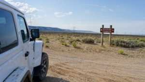
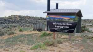
This short spur off the main dirt network runs across open sagebrush flats toward the base of White Mountain, home to one of the largest concentrations of Native American rock art in the region. The r...
Jay North
Official Crew
Rated 3/5
Open
Visited: 07/21/2026
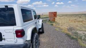
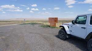
Chilton Road runs north out of Rock Springs across the open sagebrush flats of the Red Desert, ending at the Killpecker Sand Dunes Open Play Area. It is a wide, packed dirt route that serves as the ma...
Jay North
Official Crew
Rated 3/5
Open
Visited: 07/17/2026
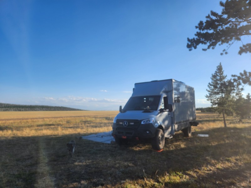
Not much scenery, anf not a lot of places to camp. This appears to be a trail heavily trafficked by side-by-sides and on the weekend, the camping sights had mostly big rigs in them with people hauling...
EB
Ethan Burnham
Rated 5/5
Open
Visited: 07/07/2026
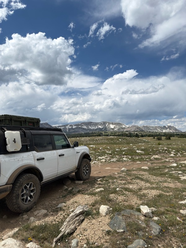
Beautiful area. Gate to the north is open, and trails to the south are open.
JL
James Lengyel
Rated 4/5
Open
Visited: 07/07/2026
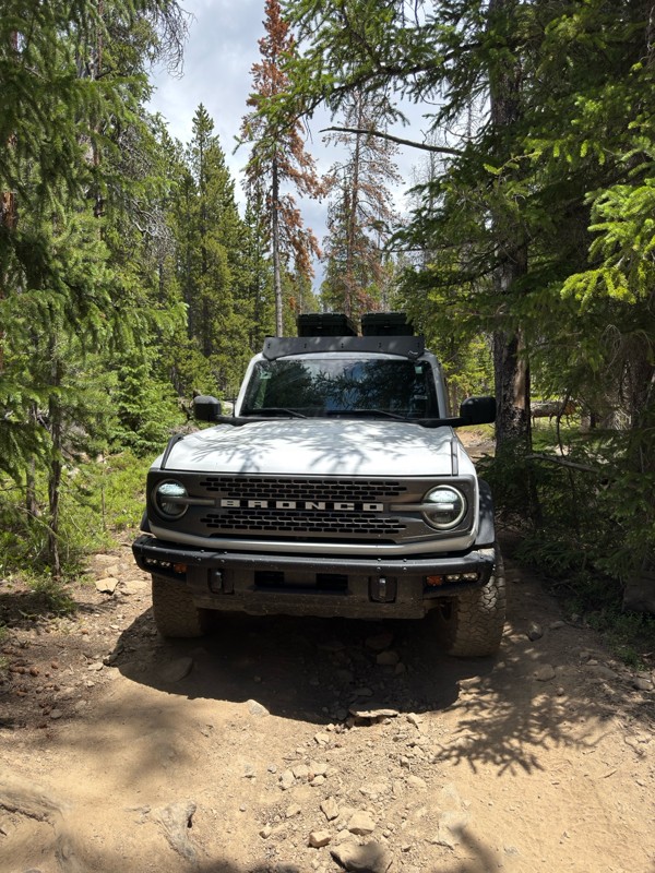
Very tight in spots, if you have a large rig it may not fit, and a poor line could come with consequences. Expect plenty of pin-striping. Would recommend having a spotter to navigate some of the tight...
JL
James Lengyel
No Rating
Open
Visited: 07/03/2026
Open for the season! very very buggy, and crowded. Granted we went on July 4th weekend. Go early enough that you can get a waterfront camping site, they seem to fill up quick.
We were in an otherwise...
TL
Tyler Lubeck
Rated 5/5
Open
Visited: 07/03/2026
Perfect way to end our trip in the Bighorns, no problem for the Sprinter 144. We did it top to bottom, most of the other traffic was heading up from Buffalo.
DB
David Bauer
Rated 4/5
Open
Visited: 06/29/2026
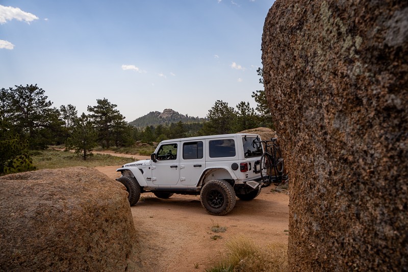
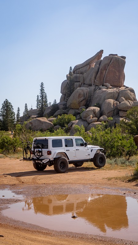
Passing through along I-80 and stopped to give this older guide a refresh. This was my first time visiting the area, even though I've driven past it many times on the interstate. Now I get what all th...

Ariana Dufour
Official Crew
Rated 4/5
Open
Visited: 06/29/2026
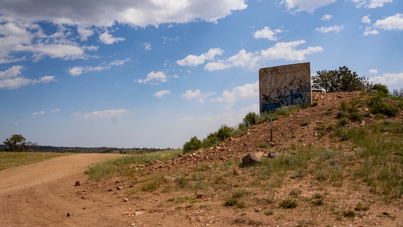
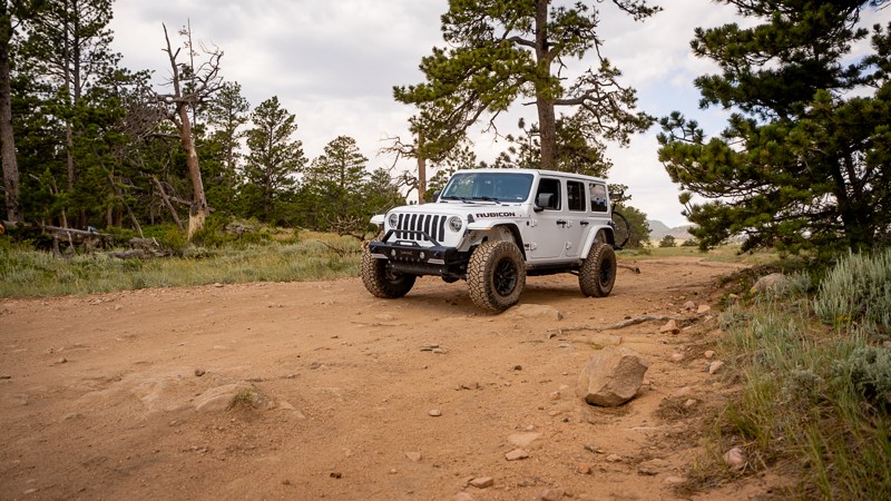
Passed through the area and stopped to refresh this trail guide with newer photos, a couple more waypoints, and an increase in difficulty rating. With time and natural erosion, the overall rating need...
Ariana Dufour
Official Crew
Most Popular

Updated: 05/28/2026
Black Mountain Lookout
Binford, Wyoming
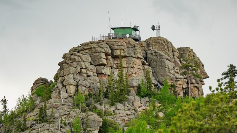
The Black Mountain road is a short but scenic drive to an abandoned fire lookout tower perched on top of a rock formation at the summit of Black Mountain, with panoramic views all around. It starts passing through the middle of a Boy Scout camp before ascending steeply up the mountain, ultimately toping out at a small parking area at the base of the lookout tower. Though the lookout appears to not have been staffed in years and the main building is locked, you can climb the stairs to the catwalk surrounding it and see the entire valley spreading out below you, looking across to Laramie Peak.
The trail surface alternates between rutted dirt and rough rocks, with several small granite slab obstacles with ledges around a foot high. The overall difficulty is on the hard side of moderate. Stock SUVs with good clearance should be able to make it up fine, but careful tire placement will be needed. Some of the rocks can be quite sharp, so watch your sidewalls. While this road doesn't appear to be regularly used for camping, there are a couple of nice level patches along it that would make excellent campsites with great views. This road also accesses the Harris Park trailhead and a network of hiking trails around Laramie Peak, so you could spend days exploring the area.
Updated: 04/23/2026
Elk Ranch Road
Moran, Wyoming
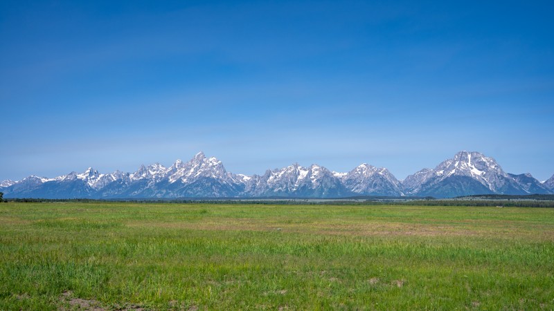
Elk Ranch Road is a scenic backcountry route within the eastern stretches of Grand Teton National Park that offers a unique blend of history, terrain variety, and unmatched views of the iconic Teton Range. Beginning near US-89, the trail crosses open fields before arriving at the historic Elk Ranch cabins, a photogenic cluster of weathered homesteads that sit beneath the towering backdrop of the snow-capped peaks. From here, the road continues across lush, grassy flats and through a short but notable water crossing. This 1-2 foot deep water crossing is easily navigable for high-clearance vehicles, but impedes further traffic for low-clearance vehicles.
The surface is a mix of packed dirt and gravel, with shallow ruts and uneven sections that may challenge lower clearance vehicles after rain. While not technical, the route favors 4WD during or after wet conditions due to mud and water crossings. Beyond the cabins and creek, the trail opens into wide meadows with sweeping panoramas of the Tetons, arguably some of the best views in the park accessible by vehicle. Wildlife sightings are common, and the isolation offers a peaceful contrast to the busier park corridors. This spur eventually intersects with Wolf Ranch Road, which can then be used to return to the highway. This road is best enjoyed as an easygoing scenic drive or a detour for photography and light adventure. It is ideal for beginners seeking that true backcountry feel without the punishment of rock crawling.
Updated: 08/11/2025
Bailey Creek Road
Colter Bay Village, Wyoming
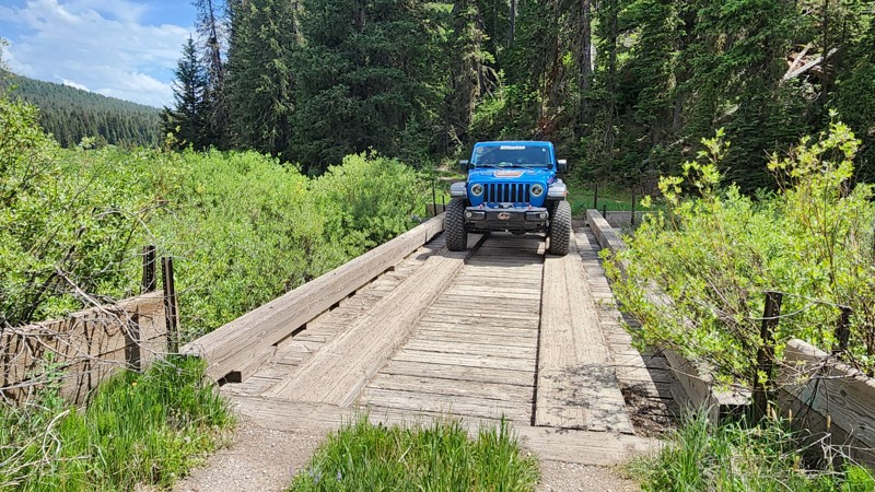
Bailey Creek is a short, nearly 3-mile dead-end spur that leads to a tiny parcel of National Forest land sandwhiched between Grand Teton National Park and the Teton Wilderness. The drive winds through a dense pine canopy, past the willow layden Bailey Meadow, and terminates at a large grassy area popular with equestrian campers. Wildlife are common along the road, and bear activity is relatively high due to the remoteness of the road. The road is a single-vehicle wide two track for most of the trip, across a rough, rutty, and cobbly surface of rounded baseball and softball sized rocks. It gradually becomes rougher the farther along the road you travel, and mud pits are a common occurrence during wet periods. The only camping is found at the end of the road with plenty of level, grassy areas, and a single bear box.
Important Camping Notes:
- Camping in this area is restricted to designated sites only.
- A 5-day maximum stay limit is in effect from May 1st through Labor Day, and a 14-day limit the rest of the year.
- Bears are common in the area; thus, all food and attractants must be stored in bear-resistant containers or hard-sided vehicles.
Updated: 10/15/2024
Hawk Road
Hirsig, Wyoming
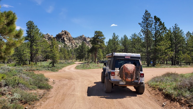
Hawk Road is a well-traveled dirt road in the Medicine Bow National Forest, colloquially referred to as "Happy Jack." Any 2WD vehicle should have no issues out in this area. The highlight along this trail is the Middle Lodgepole Creek, which has a few nice pools along the way. Pair those with the side trails along this road, and you can have a nice fishing hole to park your rig nearby and enjoy the high prairie for which southern Wyoming is famous.
Updated: 08/11/2026
Sullivon Spring
Laramie, Wyoming
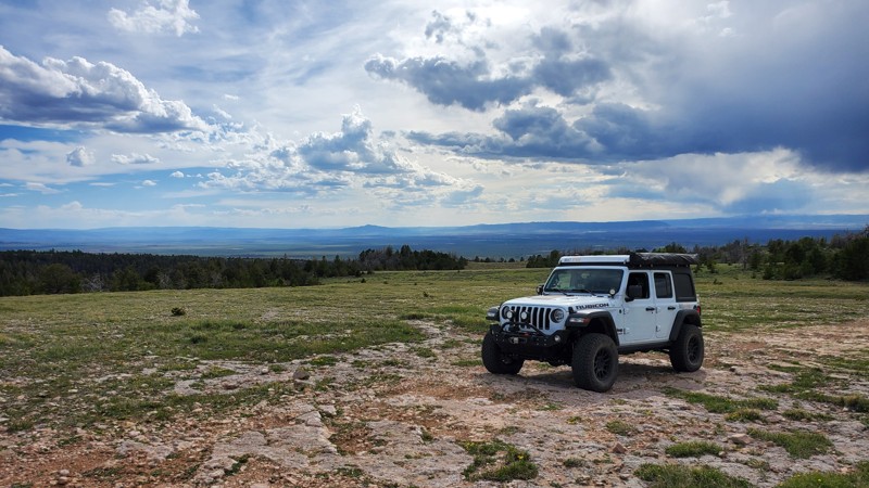
Located on the outskirts of Medicine Bow National Forest, colloquially referred to as "Happy Jack," this is one of the area's trails more suited for smaller rigs. As you make your way off the beaten path, you will find yourself driving through narrow stretches of tight trees on a fun two-track trail. While this trail is a bit more difficult than most other dirt roads in the area, any 2WD truck/van or AWD passenger car will have little difficulty completing this trail. There are a few camp spots located along this trail that would provide a good night's rest. The trail's proximity to hiking and biking trailheads makes it desirable for getting up early and enjoying the activities for which Happy Jack is known. The trail, unfortunately, ends abruptly at the forest border, but it provides excellent views of Laramie.
Updated: 08/11/2026
Puwerae Road
Elk, Wyoming
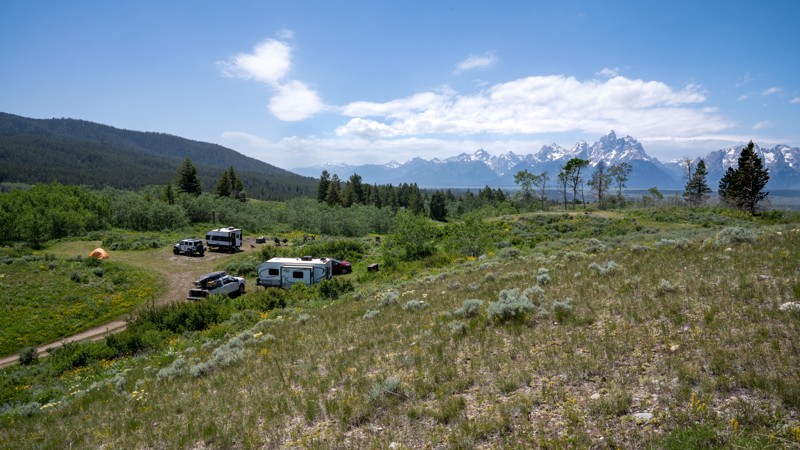
Puwerae Road is a short camping spur off Toppings Lake Road that leads to designated campsite 27, offering stunning views of the Teton Range. The campsite lies less than a quarter mile from the start and is accessed by a fairly steep incline. At the top, a small, level clearing can accommodate three to four camping parties, depending on vehicle size. Some visitors choose to hike higher up the hillside to set up tents for better views and added privacy.
The site is accessible to trailers, but turning around can be difficult if the area is already occupied. Beyond the designated campsite, the road continues for about a mile as a rough and bumpy two-track. The surface is hard-packed bentonite, which becomes dangerously slick and impassable when wet. The road ends abruptly with little space to maneuver.
The area is filled with wildflowers, especially in early summer. High clearance is required to drive the entire trail, though 2WD is sufficient in dry conditions.
Important Camping Notes:
- Camping in this area is restricted to designated sites only.
- A 5-day maximum stay limit is in effect from May 1st through Labor Day, and a 14-day limit the rest of the year.
- Bears are common in the area; thus, all food and attractants must be stored in bear-resistant containers or hard-sided vehicles.
- Some campsites offer on-site bear boxes, but not all campsites do.
Updated: 10/15/2024
Telephone
Battle, Wyoming
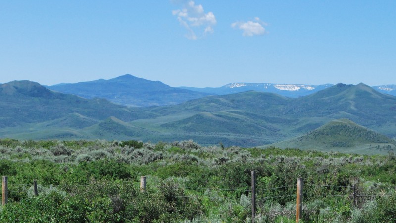
Description: Telephone is one of the main connectors between Battle Creek Road and West Sheep Mountain. It follows a fence line up a ridge over one of the highest hills in the area. Because of the higher altitude, the trail climbs into aspen groves, pine, and fir forest. There are plentiful wildflowers in the spring and early summer with gorgeous views before you enter the forest. There is only one campsite along the trail right at the intersection with West Sheep Mountain, but it is one of the best in the area.
Updated: 08/11/2025
Taylor Ranch Road
Kelly, Wyoming
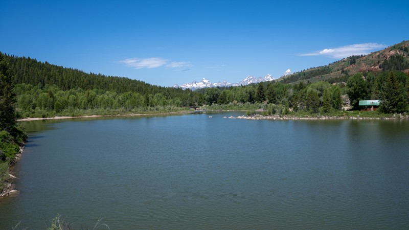
Taylor Ranch Road is a short and easy gravel spur off Gros Ventre Road that offers scenic lake views, several small campsites, and access to Lower Slide Lake. The road is open to the public for a brief stretch before it enters private ranch property.
Just before crossing the bridge, two small campsites can be found tucked into the trees along the river on the west side. After the bridge, there is a small cluster of campsites that could accommodate up to four groups, depending on spacing. This area also offers excellent beach access directly across from the campsites, making it a convenient spot for those looking to enjoy the lake.
The road ends shortly after this cluster at a manmade eagle's nest. It is best to turn around here, as there are no additional turnouts before reaching private property. While the drive is short, it provides a peaceful and scenic stop for camping or lake recreation near Lower Slide Lake.
Important Camping Notes:
- A 5-day maximum stay limit is in effect from May 1st through Labor Day, and a 14-day limit the rest of the year.
- Bears are common in the area; thus, all food and attractants must be stored in bear-resistant containers or hard-sided vehicles.
Updated: 10/15/2024
Battle Creek Spur 1G
Battle, Wyoming
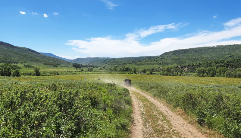
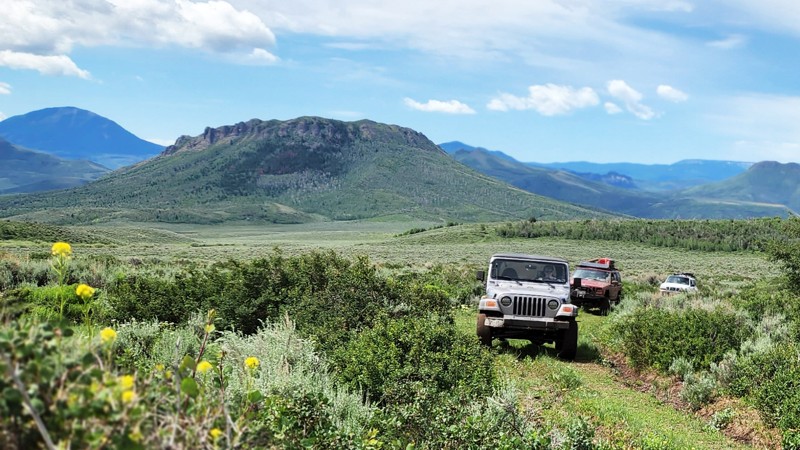
Battle Creek Spur 1G connects Battle Creek Road near its end to West Sheep Mountain about in its middle. This provides an alternative to just turning around after you have run Battle Creek Road and allows you to extend your trip into a full day of exploring. It is mostly out in the open, providing spectacular views of the southern Sierra Madres. The trail follows a small ditch part of the way, crossing it at one point before turning north to connect to West Sheep Mountain. If you want to extend your day, consider turning south on West Seep Mountain Spur 1G, where this trail turns north. Although dispersed camping is allowed, there were no established campsites on the trail.
Updated: 10/15/2024
West Sheep Mountain Spur 1G
Battle, Wyoming
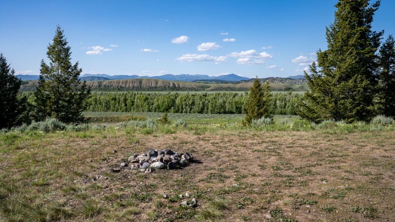
West Sheep Mountain Spur 1G is a short but important connector in the network of trails around Battle Creek Road and West Sheep Mountain in southern Wyoming. It connects Battle Creek Spur 1G with West Sheep Mountain to provide another option for extending your exploration of this area. Like many of the trails in the area, it traverses rolling hills of grass and sagebrush, providing sweeping views of the Sierra Madres. The road surface is rough dirt two-track which is slightly overgrown in places. Although camping is technically allowed on this trail, there were no established sites. More camping can be found on Battle Creek Road or West Sheep Mountain.
Updated: 08/11/2026
Lower Spread Creek Spur C & D
Elk, Wyoming
FS 30290C and 30290D are short, dead-end two-tracks that branch off Lower Spread Creek Road. Each leads to a designated campsite: Site 14 and Site 15.
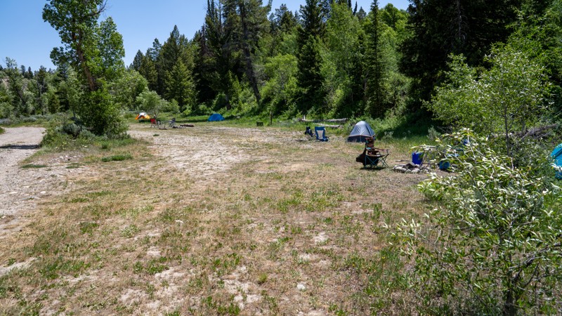
Campsite 14 is the closer of the two, sitting above Lower Spread Creek with excellent northern views of the surrounding mountain terrain. It’s a spacious, level site with a partially grassy surface. Campsite 15 lies farther back in the pine forest, offering more solitude. While it lacks sweeping views, it's surrounded by wildflowers and has thicker ground cover, likely due to less vehicle traffic.
The trail surface to these sites is steep and composed of bentonite clay, which turns slick and unstable when wet. Deep ruts and erosion pockets scar the trail, making it clear this trail doesn’t handle moisture well. A high-clearance 4x4 vehicle is strongly recommended, and if rain is expected, rugged offroad tires are advised.
Important Camping Notes:
- Camping in this area is restricted to designated sites only.
- A 5-day maximum stay limit is in effect from May 1st through Labor Day, and a 14-day limit the rest of the year.
- Bears are common in the area; thus, all food and attractants must be stored in bear-resistant containers or hard-sided vehicles.
- Some campsites offer on-site bear boxes, but not all campsites do.
Updated: 08/11/2026
Lower Spread Creek Spur A & B
Elk, Wyoming
FS 30290A and 30290B are short spur roads that parallel Lower Spread Creek Road, providing access to designated campsites 7, 8, and 9. These spurs begin at the west end and progress eastward, with varying site types and road conditions along the way.
Campsite 7 sits at the western edge of the spur and overlooks the Spread Creek drainage. It’s a spacious, level site, large enough to accommodate RVs and trailers, with excellent views and room to spread out.
As the road continues east, it narrows and becomes increasingly rough, with several dips and exposed rocks up to 9 inches tall. While trailers can technically reach Campsites 8 and 9, maneuvering space is limited, and turning around may be difficult if the sites are already occupied by other large vehicles.
Campsite 8 is a wide, flat clearing near the treeline, featuring four to five fire rings and ample room for multiple camping parties. It offers a semi-shaded, open layout suitable for groups.
Campsite 9 is tucked into a cove at the mouth of the canyon, directly overlooking Spread Creek. This site is very large and open, with a dirt base that can comfortably host several parties or larger groups. Its seclusion and size make it a highly desirable site in the area.
Important Camping Notes:
- Camping in this area is restricted to designated sites only.
- A 5-day maximum stay limit is in effect from May 1st through Labor Day, and a 14-day limit the rest of the year.
- Bears are common in the area; thus, all food and attractants must be stored in bear-resistant containers or hard-sided vehicles.
- Some campsites offer on-site bear boxes, but not all campsites do.
Updated: 07/28/2026
White Mountain Road
North Rock Springs, Wyoming
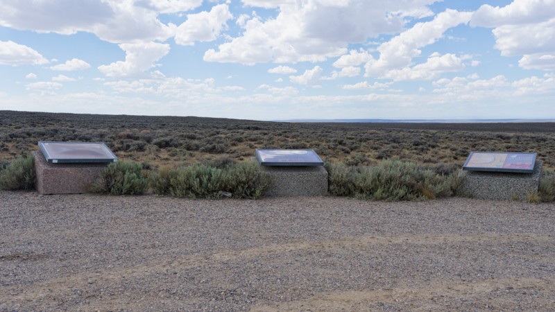
White Mountain Road climbs onto the crest of White Mountain between Rock Springs and Green River, Wyoming, tracing a well-graded county road through the heart of the White Mountain Herd Management Area. The route crosses open sagebrush steppe with long, sweeping views over the Green River valley and the Rock Springs area, and it's a reliable place to spot the White Mountain wild horse herd, especially along the crest, as well as pronghorn and other wildlife. Several scenic pullouts along the way offer interpretive signs and displays on the area's history and landscape.
Drivers use this road primarily as a scenic and wildlife-viewing drive rather than a technical route or connector to other trails. The graded surface makes it suitable for passenger cars and stock high-clearance vehicles in dry conditions, though washboarding and mud after rain or snowmelt can make higher clearance and 4WD helpful. Dispersed camping is abundant on the BLM and private land sections, with plenty of spots found by pulling off onto side roads away from the main route; there are no designated campgrounds or facilities, so visitors should pack out what they pack in. The road crosses a checkerboard of BLM and private land, and while the private landowners cooperate with the BLM to allow recreational access, staying on the established route and respecting any posted signage is important, and no special permits are required.
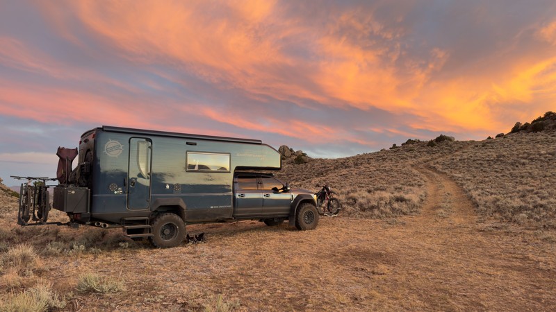
Updated: 09/16/2026
Irish Canyon Trail
Boulder, Wyoming
Irish Canyon Road begins at the Irish Canyon Snowmobile Trailhead off Big Sandy Elkhorn Road, where a large staging area provides plenty of room for airing down, trucks with trailers, off-road RVs, and other larger rigs. Starting at roughly 7,283 feet, the trail initially follows smooth, compacted dirt and sand before quickly beginning its climb out of the valley and into the surrounding foothills. Four-wheel drive is useful as the grade increases, and several attractive dispersed campsites can be found at the end of side spurs. However, the trail crosses a patchwork of BLM, private, and Wyoming state trust lands, so pay close attention to posted signs and camping restrictions.
As the trail gains elevation, the terrain gradually becomes rougher, transitioning from scattered grapefruit-sized rocks into larger, more embedded rock near the upper portions of the route. One narrower section has a mild shelf-road feel, and because the trail is open to two-way traffic, drivers should be prepared to encounter vehicles in tighter areas. The scenery steadily improves with elevation as open sagebrush gives way to aspen groves and eventually dense pine forest, with some upper sections becoming narrow enough for trees and branches to crowd the trail. Near the end, the road reaches a fork where both routes appear to transition into narrower ATV-oriented trails as they continue into the National Forest. The route is easily traveled during summer conditions, while the trailhead and corridor appear to be primarily used for snowmobiles during winter. No posted seasonal opening or closure dates were observed along the BLM portion of the road, but the upper, ATV portion within the National Forest is seasonal, only open 5/1-11/30.

Upgrade your Membership
Unlock all of the details on every Trail Guide and Scout Route.
Start a 7-day Free TrialCommunity
Partners

