



By clicking "ACCEPT", you agree to be the terms and conditions of each policy linked to above. You also agree to the storing of cookies on your device to facilitate the operation and functionality of our site, enhance and customize your user experience, and to analyze how our site is used.
Tennessee Off-Road Trails
10
Total Trail Guides 4

97
Detailed Waypoints 70
Try a Free 7-Day Trial and unlock it all
Start a Free Trial Most Recent Trail Reviews
No Rating
Open
Visited: 08/11/2026
Per the MVUM, the trail is seasonally open. As always, check current fire restrictions/closures before venturing out.


Trails Offroad
Official Crew
No Rating
Open
Visited: 08/11/2026
Per the MVUM, the trail is seasonally open. As always, check current fire restrictions/closures before venturing out.
Trails Offroad
Official Crew
No Rating
Open
Visited: 08/11/2026
Per the MVUM, the trail is seasonally open. As always, check current fire restrictions/closures before venturing out.
Trails Offroad
Official Crew
WD
William Derby
No Rating
Open
Visited: 08/02/2026
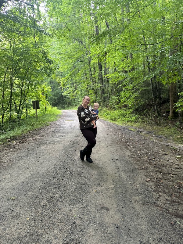
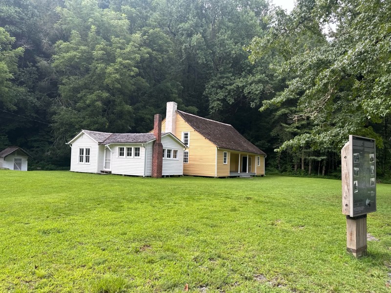
Gorgeous trail, we had so much fun. We ran it all the way down to the pioneer homes, and crossed a few bridges. There were some good fishing holes too. Easy to run with a stock setup.
LB
Lexi Brown
KC
Kim Conard
No Rating
Temporary Closure
Visited: 07/18/2026
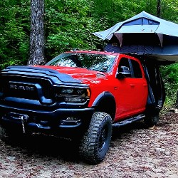
Road was closed at the Paint Creek Campground end for road work. Campground is also closed.
Matt Chastine
Rated 4/5
Open
Visited: 06/19/2026
Very hard to fine camping due to the time of year I am guessing. No camp site left. We did fine a couple spots in a campground. I will not plan on this route for camping again.

Earl Neisler
Rated 5/5
Open
Visited: 06/19/2026
Rain the night before so the creek was up a little. Nice crossing.
Earl Neisler
Rated 1/5
Open
Visited: 06/19/2026
The only good thing about the trail is at the top the wife was able call home. So if you looking for call service. Other then that it a complete waste of time. Nothing but trees and a big beautiful c...
Earl Neisler
Rated 4/5
Open
Visited: 06/19/2026
This was a nice ride to connect to the next route. Nothing hard was rougher than most of the trails.
Earl Neisler
Rated 4/5
Open
Visited: 06/16/2026
Saw a bear, not as rugged as they made it out to be in November when they closed it before we could drive it.
CA
Christopher Anthony
Rated 4/5
Open
Visited: 06/16/2026
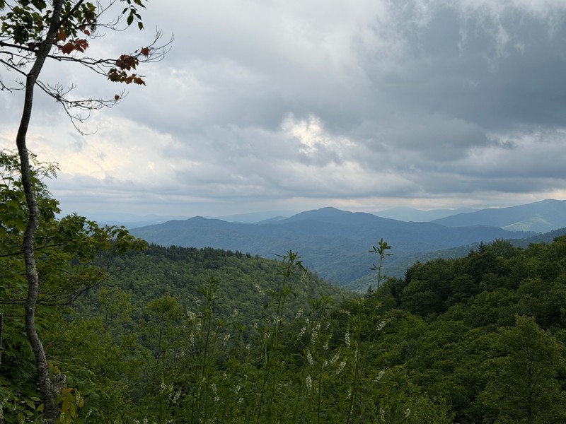
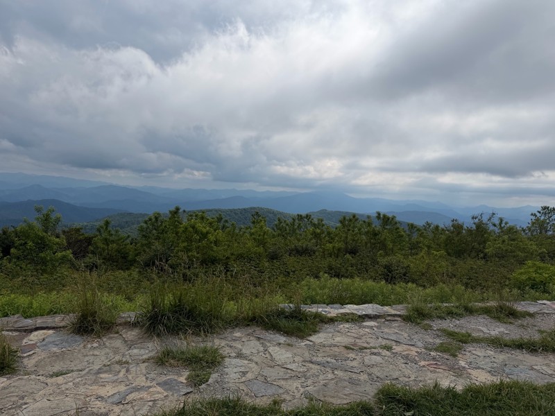
Easy gravel road with nice views. The beauty spot and Pleasant Garden had nice scenic views. We did this trail in a 24 stock JL.
KC
Kim Conard
Rated 5/5
Open
Visited: 05/14/2026
Great trail, everything they say about is spot on. We finished late in the day and took G50 back to the road and took 116 back to Oliver Springs then up to the campground.

Bob Justus
Rated 5/5
Open
Visited: 05/14/2026
Great little loop off G1 on your way over to Panther Rock. There are 2 large boulder gardens that take some trust in your ride. Mine is on 35's no lockers, 2 1/2 lift, I definitely used the rock rai...
Bob Justus
Rated 5/5
Open
Visited: 05/14/2026
Did this trail after lunch at the penitentiary (must do only a couple of miles from the end of 27). It was very rocky not obstacles just rocky and need to go slow. We took it up the mountain and swi...
Bob Justus
Rated 5/5
Open
Visited: 05/14/2026
Fun trail we did from G6. It was dry, so great grip, I could see if it was wet it would be a little more thrilling. Unless you are doing 26 this is a turn arround trail, except you can keep going a...
Bob Justus
Rated 5/5
Open
Visited: 05/14/2026
Nice forested trail, we took it after 22 on our way over to 27.
Bob Justus
Rated 5/5
Open
Visited: 05/14/2026
Nice trail, it was dry, so not very challenging, but a great first trail for my first time at Windrock running alone. I'd recommend doing this first.
Bob Justus
Rated 4/5
Open
Visited: 05/01/2026
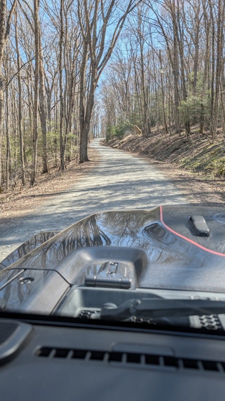
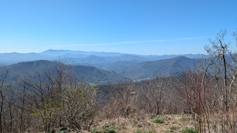
This is a stock friendly gravel road that offers some amazing views. The Beauty Spot and the Unaka Overlooks are must stop POI.

Aaron Bordeau
JA
Joe And Brandy
Rated 4/5
Open
Visited: 04/10/2026
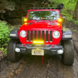
I ran this as a connector heading over to Panther Rock. It's a bit challenging and lives up to its blue "3" rating.
Peter Dougherty
Rated 4/5
Open
Visited: 04/10/2026
A rough blue-level trail. Some good views, but at over 8 miles long it got to be a slog after a while. I think a 2 is a bit underrated; I think a 3 would be more accurate. A good connector trail but n...
Peter Dougherty
Rated 5/5
Open
Visited: 04/10/2026
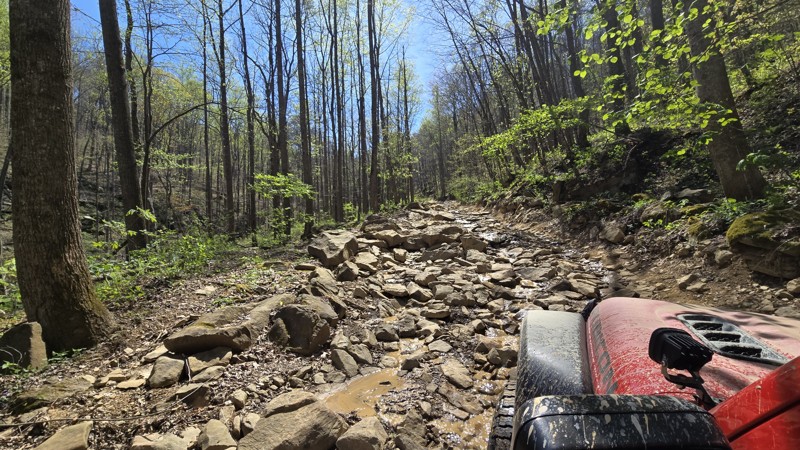
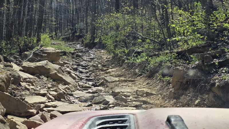
Strongly recommend running this trail in conjunction with Trail 27; go down 27 first then up 26. Trail 27 is a relatively easy and fun trail with a few obstacles, and the bottom half of 26 is about th...
Peter Dougherty
Rated 5/5
Open
Visited: 04/10/2026
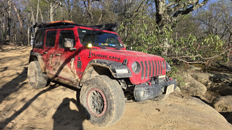
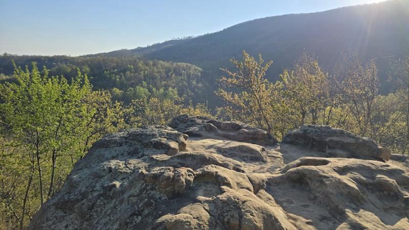
I ran this trail twice this week. Once, as I was running out of daylight, I ran it from the top and down to the overlook and back. The second time was the full trail from south to north since I had a ...
Peter Dougherty
No Rating
Temporary Closure
Visited: 02/21/2026
They have this rout closed with no date of reopen
JF
Justin Fowler
Rated 5/5
Temporary Closure
Visited: 12/23/2025
Trail ends and is closed at Old Cataloochee Entrance Road Bridge #2. Bridge has barricades on both sides and the entrance to the water crossing is blocked as well.
JH
Jonathan Hartley
Rated 4/5
Open
Visited: 12/21/2025
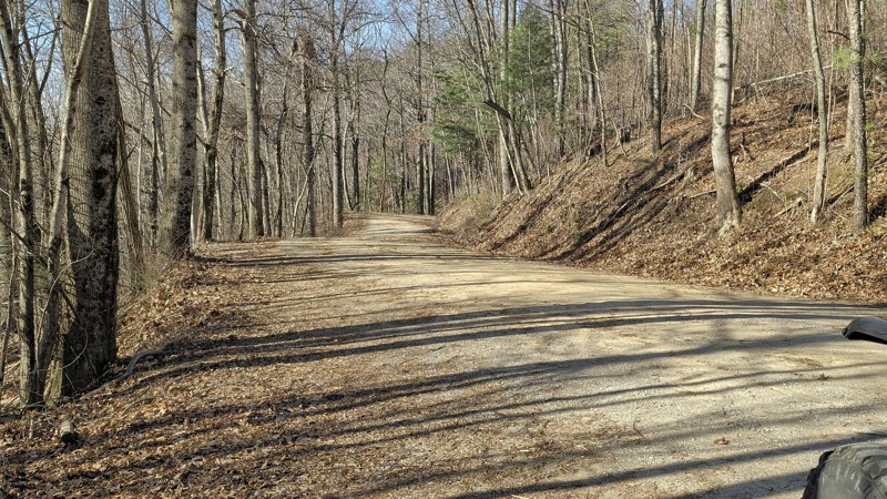
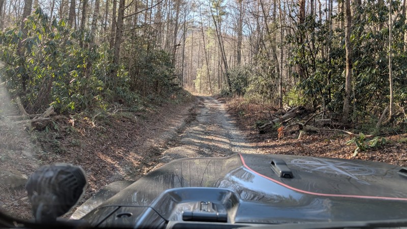
This is a nice scenic trail that offers great views. the trail is easy and we ran it in 2H the entire time. There are a few bumper spots but nothing difficult. We added in Forest RD at the west end...
Aaron Bordeau
No Rating
Seasonal Closure
Visited: 12/15/2025
According to this trails management agency, the trail is likely closed for the season.
You can reach out to the agency for more details.
Be sure to leave us a report and let us know ...
Trails Offroad
Official Crew
No Rating
Seasonal Closure
Visited: 12/15/2025
According to this trails management agency, the trail is likely closed for the season.
You can reach out to the agency for more details.
Be sure to leave us a report and let us know ...
Trails Offroad
Official Crew
No Rating
Seasonal Closure
Visited: 12/15/2025
According to this trails management agency, the trail is likely closed for the season.
You can reach out to the agency for more details.
Be sure to leave us a report and let us know ...
Trails Offroad
Official Crew
No Rating
Seasonal Closure
Visited: 12/15/2025
According to this trails management agency, the trail is likely closed for the season.
You can reach out to the agency for more details.
Be sure to leave us a report and let us know ...
Trails Offroad
Official Crew
Rated 5/5
Open
Visited: 11/22/2025
scenic and remote. best camp sights looked to be on the double camp road side, south leg of the route.
MS
michael smith
No Rating
Partially Open
Visited: 11/11/2025
Rough Creek crossing remains blocks as of 11/10/2025. In general the road north of Rough Creek is fairly rough due to ruts and small rock. Not technical, but not Honda Civic doable. No issue for hig...
RP
Randal Petty
No Rating
Seasonal Closure
Visited: 11/10/2025
According to this trails management agency, the trail is likely closed for the season.
You can reach out to the agency for more details.
Be sure to leave us a report and let us know ...
Trails Offroad
Official Crew
Rated 5/5
Open
Visited: 10/25/2025
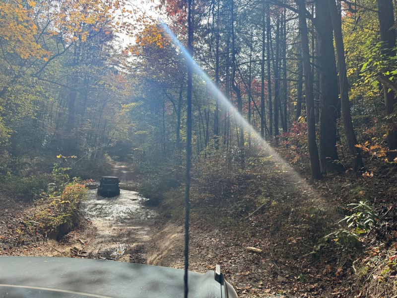
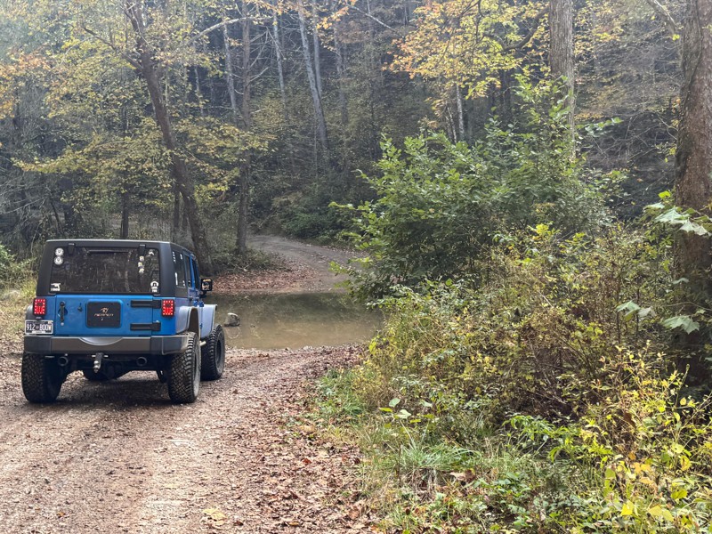
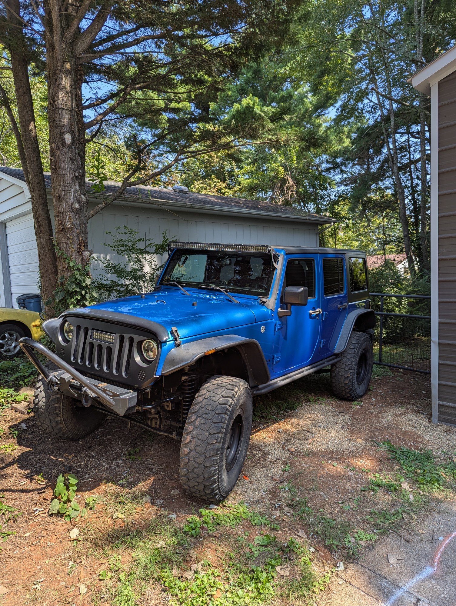
This was a fun trail to take my family out for an adventure in my Jeep. My sister came along in the stock bronco and had no issues whatsoever. I can see where some areas would be difficult if the wate...
Joseph Hollingworth
No Rating
Open
Visited: 10/09/2025
We rode Rich Mountain Road today as a family and loved it. The trail is a straight-through, one-way drive that starts from Cades Cove in the Great Smoky Mountains National Park. I stayed in 2WD the en...
DE
Drew Ezell
Rated 5/5
Open
Visited: 09/25/2025
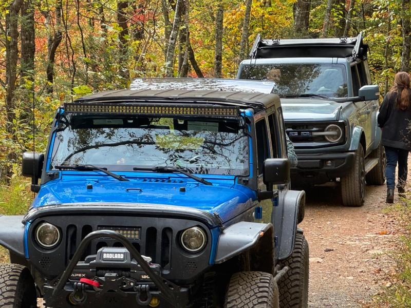
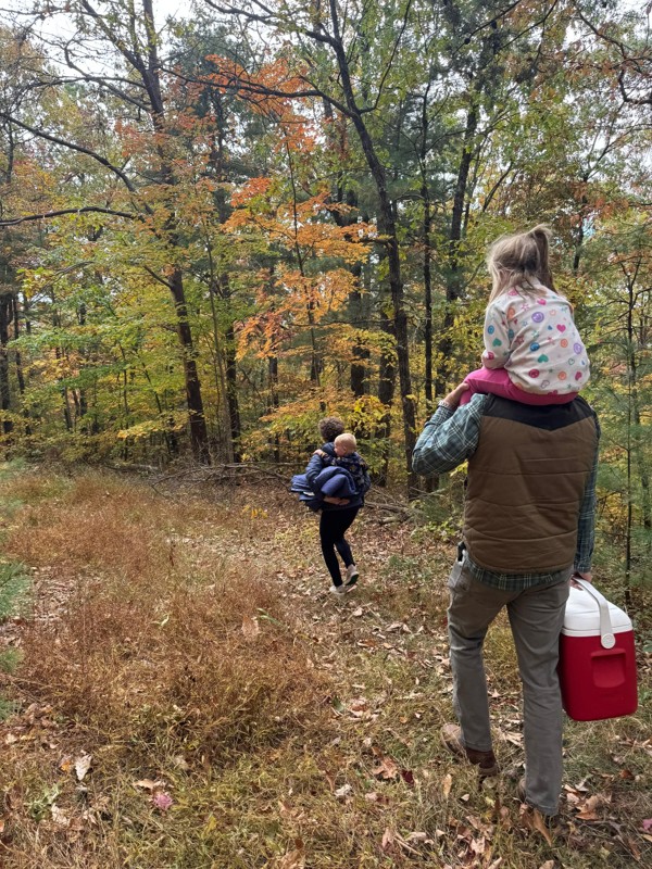
Great Forrest road to get some amazing views. The trees were in full Fall mode and beautiful! There were several campground areas off the trail that looked nice for single family use. The trail was pr...
Joseph Hollingworth
KC
Kim Conard
Rated 5/5
Open
Visited: 09/19/2025
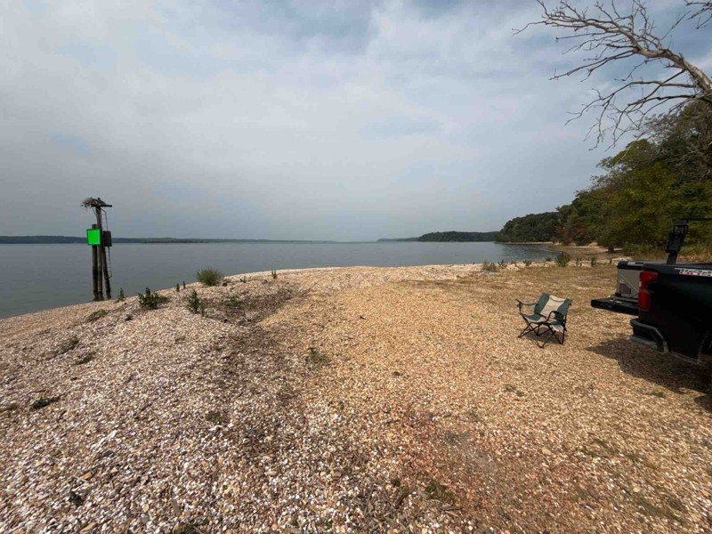
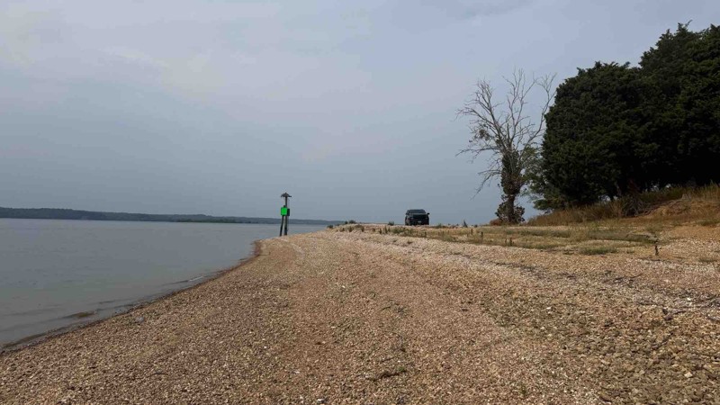
The trail was completely dry so the trail was not much of a challenge. When the ground is wet, it would be a different story given multiple holes and run off areas. There are some deep ruts and off ca...

Shayne Danielson
Official Crew
Rated 5/5
Open
Visited: 09/05/2025
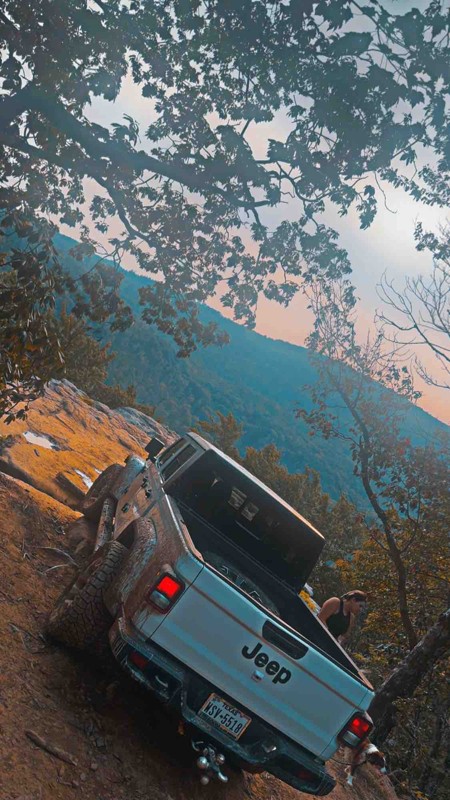
Freaking awesome freaked the fiancé out few times but worth every second of it!
DD
Dally Daniel
No Rating
Open
Visited: 08/25/2025
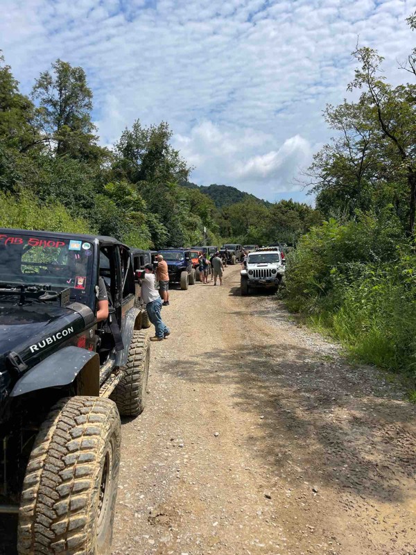
Logging on 26 has increased the mud areas and it’s more like a mud soup that’s a couple of feet deep for a long stretch.
S
Steve
Rated 4/5
Open
Visited: 08/23/2025
This trail was way more difficult then the video and the rating portayed. very large rocks and steep obstacles causing you to go way off camber. We were in a well built gladiator and made it through b...
PP
Paul Peterson
No Rating
Open
Visited: 08/23/2025
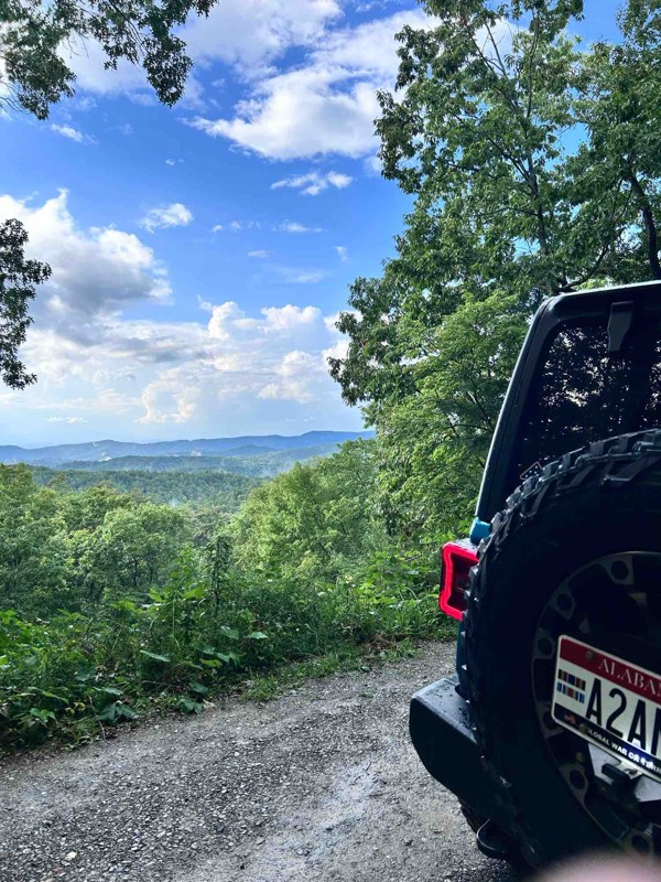
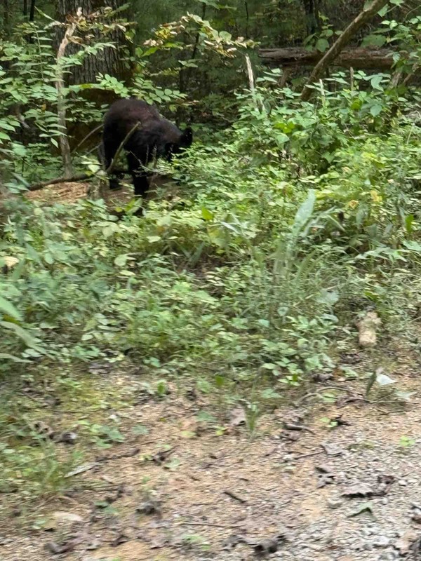
No traffic made for very pleasant peaceful ride with maximum altitude of 2600ft.
JW
Jason Winekoff
Rated 5/5
Open
Visited: 08/03/2025
Trail is open. Repairs are being made in the area. Watch out for large dump trucks hauling in gravel and work crews. Best to experience on the weekend when the crews are not working. Due to mud holes,...
LA
Lori Armstrong
Rated 4/5
Open
Visited: 07/05/2025
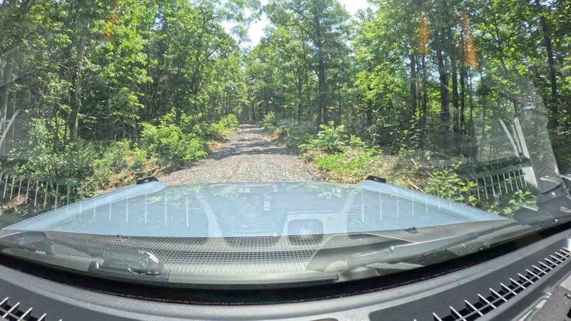
Trail looks to have been groomed with fresh gravel. There was really nothing technical to it.

Rick
Rated 5/5
Partially Open
Visited: 07/04/2025
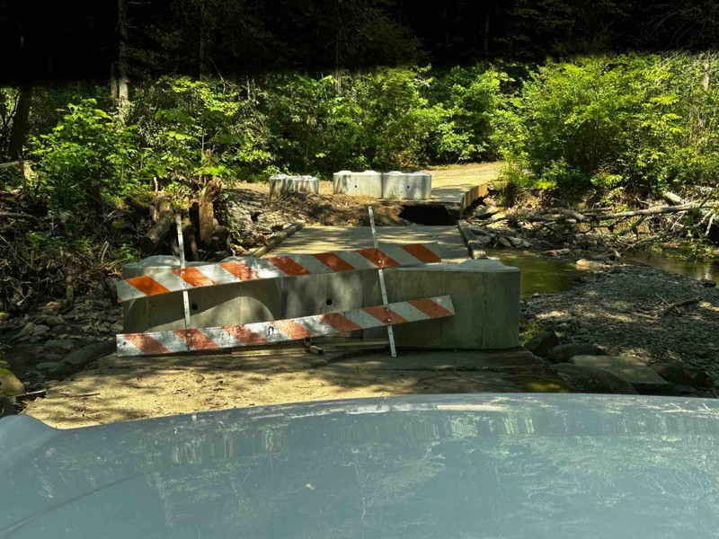
Rough Creek bridge is impassable and blockaded. There currently is no bypass in the area of the bridge.
Rick
Most Popular


Updated: 08/11/2026
Big Clifty
Del Rio, Tennessee
Big Clifty is a winding trail leading you up 1,600 feet on the north side of the Meadow Creek Mountains. This mostly maintained trail has no major challenges, making it a pleasant short journey for any high clearance vehicle. This trail also provides access to the Meadow Creek lookout tower overlooking quite a distance in every direction. Camping is sparse, but a couple of locations are adequate for small groups.
Updated: 04/08/2025
Sina Branch
Willis Springs, Tennessee
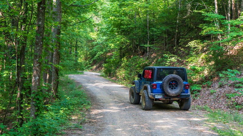
Running down the western edge of the Cherokee National Forest, Sina Branch Road is a maintained road traveling from the Baker Creek Inlet of Parksville Lake to the Conasauga River. As with many others in the area, this trail is ripe with lush foliage from tall Poplar and Beech trees down to the ferns covering the forest floor. Be on the lookout for wildlife, too, as this area is never quiet!

Updated: 03/09/2026
Windrock G2
Oliver Springs, Tennessee
Leaving the General Store within Windrock, you drive up what is known as P2. P2 eventually merges into G2. The G stands for gravel. This G road is quite simple and easy as it climbs to higher elevations passing many of the main roads within the park. If you choose to take it to the end, you are met with views of the gigantic windmills at the top. Plan for a lot of dust and traffic.

Updated: 09/10/2026
Windrock 11
Briceville, Tennessee
Trail 11 is a mostly graded route with a few low spots that often hold shallow standing water when run clockwise. Occasionally, heavy rains will cause small washouts in areas as well. Along the trail, you pass old mining operations identifiable by clearly sculpted features in the hillside, and you can still find natural pieces of coal on the ground. Near the end of the trail, to the northeast, two uphill rock gardens represent the only real challenges. The first has larger rocks and is wide enough for drivers to pick from several lines. The upper garden is essentially one lane, but with smaller rocks, it is easily traversed with steady momentum and throttle control.
Updated: 10/15/2024
East Sylco Ridge Road
Archville, Tennessee
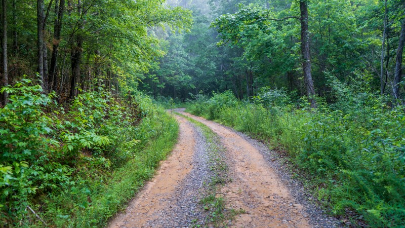
Pulling away from Parksville Lake is the unmaintained East Sylco Ridge trail. Although it is not a graded dirt road, don't let this deter you from exploring this wonderful ridgeline trail. You will often have sights to the east through the smokey hills beneath Hogback Mountain. Lush vegetation lends itself well to a shady cover for wild raspberries lining the trail in many spots. Small and scattered mud pits keep traffic low on this treat of a trail in the Cherokee National Forest.

Updated: 09/10/2026
Windrock Trail 19
Oliver Springs, Tennessee
A fun "blue" trail that connects G37 and G20. If you start from G37, you generally drive uphill and pass through a few small and mild rock gardens. The north end, as you exit, will provide a challenge if wet with a dirt-surfaced undulated hill climb. As a bonus, the trail includes a section of jurrasic-sized boulders lying on the hillside and tarzan-like vines. Suitable for any high-clearance stock SUV with low gears.

Updated: 08/11/2025
Gulf Road
Tom Town, Tennessee
Residing in the Martha Sundquist State Forest, this easy gravel road provides glimpses of the Gulf Fork Big Creek and two designated campsites beside it. Three other designated camps are further south along the road. Additionally, it is a gateway into other US Forest Service roads in the area and other hiking opportunities, such as the Tennessee Gulf Trail. The road is suitable for any vehicle.

Updated: 09/10/2026
Windrock G52
Briceville, Tennessee
G52 can originate at the northern trailhead of Panther Rock which can then be used as an alternate way back to pavement. It is wide and gravel for its entire distance until the very east end, where erosion starts showing up on the trail. Interestingly, along the trail, you will find signs posted for a vending machine, and they don't lie as once you hit the pavement, there is a lone vending machine on the side of the road in a neighborhood.
Updated: 10/15/2024
Blue Ridge
Willis Springs, Tennessee
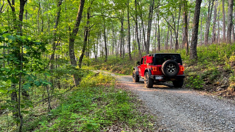
Blue Ridge is mostly gravel, with mixed patches of hard-packed dirt. The trail climbs when traveling from north to south with mellow curves. It is primarily tree-covered in the warmer months with few views but is particularly inspiring during the soft morning sun. Black bears habitat the area, and if you move slowly and quietly enough, you may see one on the road. Only limited dispersed camping opportunities are found. Closed roughly from January through the end of March.
Updated: 10/15/2024
Baker Creek Road
Alaculsy, Tennessee
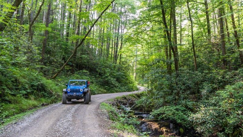
Baker Creek Road is a well-maintained road running through the Cherokee National Forest south of Parksville Lake. Meandering through the Beech, Maple, and Poplar trees, you will also be treated to Baker Creek, lined with Rhododendrons. Camping is also available along this trail on the eastern portion once you pass all the cute homes in the open meadows.

Updated: 08/04/2026
Brush Creek
Houston Valley, Tennessee
Don't let the ease of this road deter you. While the northern half of the trail is actually paved, the southern portion is graded gravel. Along the trail you will find plenty of wildflowers. If you choose to sit or walk around Allen Branch Pond long enough, you are sure to see wildlife. There is no silence here! At the southern end, you will be treated to the French Broad River. Camping is not available on this trail, but the nearby Weavers Bend Road should satisfy.

Updated: 10/15/2024
Linton Ferry Road
Linton, Tennessee
Linton Ferry Road is located in the lower Tennessee portion of Land Between the Lakes. This trail is accessible off Woodland Trace, the main road which runs the entire length of Land Between the Lakes. Linton Ferry Road is a combination of gravel, dirt, mud, and a few ruts. While traveling this trail you are likely to see deer and turkey. The trail ends at Barkley Lake.
Campers have the opportunity to camp in just about any area within the park. But, please familiarize yourself with the parks camping policies. Camping permits are $20 for those over 18. Those under 18 do not need a permit.
Land Between the Lakes is a 40-mile long peninsula that offers hiking and horse trails, 300 miles of undeveloped shoreline, mountain biking trails, 400+ miles of scenic roads, and over 1400 campsites. If you’re one of the 1.5 million people who visit Land Between the Lakes every year, make Linton Ferry Road a part of your day.

Updated: 09/10/2026
Windrock G3
Oliver Springs, Tennessee
Windrock G3 is a 4.3-mile trail leading to the nastiest rock trails Windrock offers. This trail takes you past scenic rock walls below Wolf Ridge, splashing through the occasional mud puddle, and ends just before a creek crossing over Laurel Fork. The most challenging spot along G3 is a driver's side hole that leans the vehicle 12 degrees. Easily driven by any stock vehicle, the primary purpose of Windrock G3 is as an access road to the extreme trails 3, 39 (Cadillac Hill), 40 (Rail Trail), and 40A. While G3 is considered a straight-through trail, only highly modified vehicles will be able to continue onto Trail 3, and all others will need to treat it as an in-and-out. The trail's end offers a small area to turn around or park to watch larger rigs take on the extreme trails.

Updated: 08/11/2026
Fed Fork
Wolf Creek, Tennessee
Ascending from Wolf Creek, Fed Fork climbs 1,500 feet on an unmaintained road, with the brush encroaching tighter and tighter into the path of your vehicle. The only obstacles are the occasional mud puddle and fallen tree. Be sure to pay attention to where you are driving, as sections of this trail are very close to the edge! Camping is limited with only one dispersed location at the end of the trail and another small roadside camp in the middle section.

Updated: 09/21/2025
Herndon Cemetery Road
Hamlin, Tennessee
Herndon Cemetery Road starts with a standing water hole before becoming very rutted from erosion. Deeper water/mud holes await you just before the end. As you drive the road, keep an eye out for evidence of homes and industry lost to time. There is an old foundation at the start, and off the road, you will find old cement structures as you travel along. Camping opportunities exist from the beginning to the end of the route, with the best being the very end.

Updated: 10/15/2024
Windrock G9
Oliver Springs, Tennessee
G9 is all about the view! It is a short out-and-back trail with a few minor rocks to maneuver over, leading to an epic viewpoint. There is plenty of room at the top for multiple vehicles which there is sure to be. Take a break from exploring, enjoy the views of both sides of the ridge, snap a few photos, and get back on the trails. Even on a cloudy day, this spur is a treat.

Updated: 08/11/2026
Meadow Creek Tower
Houston Valley, Tennessee
What appears to be an easy and bland road sure gives you a nice treat at the end. The Meadow Creek Road is groomed gravel and accessible by most any vehicle. Once at the top, there is a large parking area and trailhead for the Meadow Creek Ridge Mountain Trail and the short trail to the lookout tower sitting at 2,800 feet. There is no camping directly on the trail but the nearby Big Clifty has a couple of spots.

Updated: 09/10/2026
Windrock 83
Oliver Springs, Tennessee
Windrock 83 is a two-way trail. It can be entered via G33 or G6. It can also be used to access Windrock 82, a difficult trail. While 83 is a relatively short trail, it offers great views down the mountainside and into the valley below. It also has several interesting rock features and waterfalls. The trail is known for its entrance to a mine system. While the mine entrance looks tempting to explore, exercise caution due to potentially dangerous gases that may have collected. Windrock discourages guests from entering. However, on a hot day, 83 can be a refreshing oasis due to the cold air coming out of the mine shafts. The trail exhibits mostly rough dirt and, depending on recent weather, several mid to large muddy puddles. The hardest part is the incline from entering the trail via G6.

Updated: 09/10/2026
Windrock 36
Oliver Springs, Tennessee
Windrock 36 is a short, unmaintained trail taking users to the southern trailhead for G6. The only obstacles on this trail are moderate ruts. The trail is under a mile long but takes a little time to get through. The shade keeps the trail wet longer, and when this trail is wet, it is significantly more challenging. 4WD is necessary in all but optimal conditions, but no lift is needed unless the trail sees severe damage.

Updated: 10/15/2024
Panther Bay 396
Hamlin, Tennessee
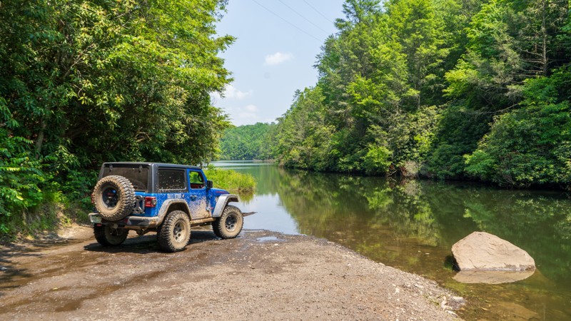
Turning from the pavement, you are immediately driving on golf ball-sized rock before the road begins to wash out and provide several erosion ruts to straddle. The straddling requires a bit of patience for someone new to off-roading. The road becomes confusing towards the end, with an illegal spur not on the MVUM veering south. There is an old foundation-type structure at the very end and excellent camping looking over the trail's namesake, "Panther Bay."
Updated: 10/15/2024
Charlies Run
Grassy Creek, Tennessee
Tucked away behind Tumbling Creek Campground lies a short but sweet trail known as Charlie's Run. This trail is not maintained but is relatively easy and only offers a small challenge in the form of small and shallow mud pits. The reward of this trail is the water. All along its half-mile length, you are treated to pullouts allowing camping and access to Tumbling Creek, and at the end, you reach an inlet for the Ocoee Number Three Lake. Be sure to spend some time enjoying the quiet peace of the water!

Updated: 10/15/2024
Wildcat Hollow Road
Hamlin, Tennessee
Wildcat Hollow rolls in and out of the woods, only separated by prairie areas. Anticipate mud and rocky creek crossings on this hard-packed dirt road with small rocks and three small creek crossings. There are locations to camp in the open spaces, but nothing pre-disturbed was found.

Updated: 09/10/2026
Windrock G20
Oliver Springs, Tennessee
G20 is a tale of two roads. On the west side, it's fairly wide and open, and as you travel around its point, it gets narrow with the potential for pinstriping and minor hard-bottomed puddles. The east side has oil and gas facilities and connects with Trail 4. If you take Trail 4 to the west, it's actually easier than G20, but if you take it to the east, plan on rock crawling and water crossings.

Updated: 10/15/2024
Ginger Creek Road
Linton, Tennessee
Ginger Bay Road runs adjacent to the South Bison Range located within Land Between the Lakes. This large, growing herd began with just 19 bison brought from Theodore Roosevelt National Park in 1969. While driving down Ginger Bay Road, you will likely see a portion of the herd grazing in their pasture.
Standing watch at the beginning of Ginger Bay Road is a majestic, century-old oak tree that's hard to miss. While looking for bison, don't miss the numerous other types of wildlife such as deer, elk, and turkey that thrive in the park. Ginger Creek parallels this trail and has been known to wash out a portion of this road during heavy rains.
Campers have the opportunity to camp within Land Between the Lakes in just about any area within the park. But, please familiarize yourself with Land Between the Lakes camping costs and policies. There is no cost to drive this trail. Camping Permits are $20 for those over 18. Those under 18 do not need a permit.
Land Between the Lakes is a 40-mile long peninsula that offers hiking trails, horse trails, 300 miles of undeveloped shoreline, mountain biking, 400+ miles of scenic roads, and 1400 campsites. If you're one of the 1.5 million people who visit Land Between the Lakes every year, make Ginger Bay Road a part of your day.

Upgrade your Membership
Unlock all of the details on every Trail Guide and Scout Route.
Start a 7-day Free TrialBrowse Trails in Tennessee by City
Browse every Tennessee city with offroad trail guides.
Community
Partners

