ORV Park

Windrock Park

Tennessee

Offroad Trails in Windrock Park

An ORV Park within Tennessee
3.9/5 (68)

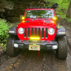
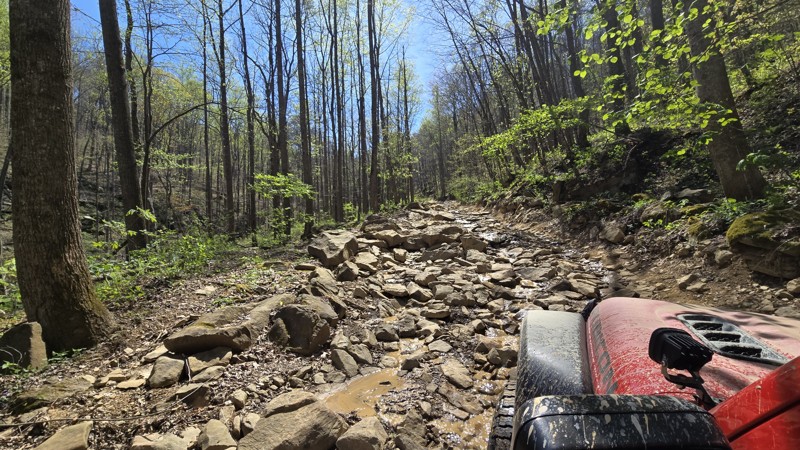
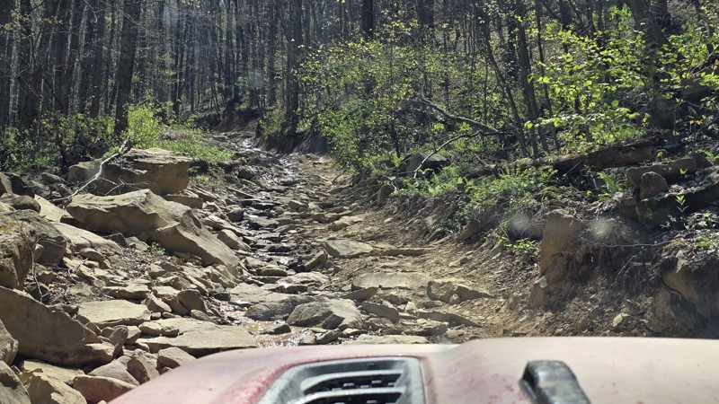
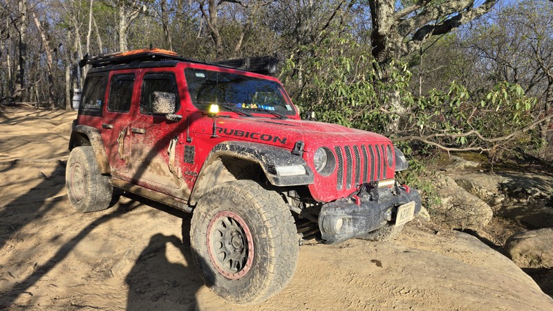
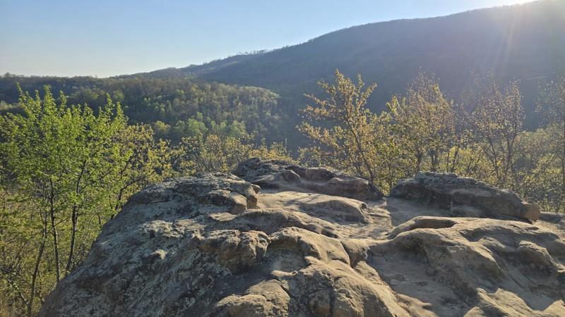
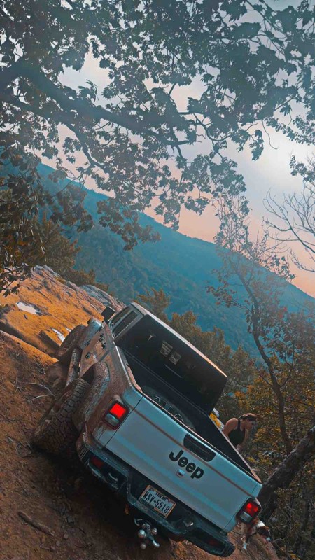
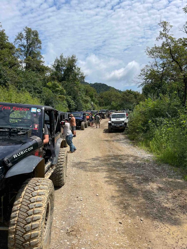
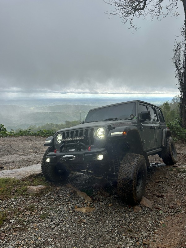
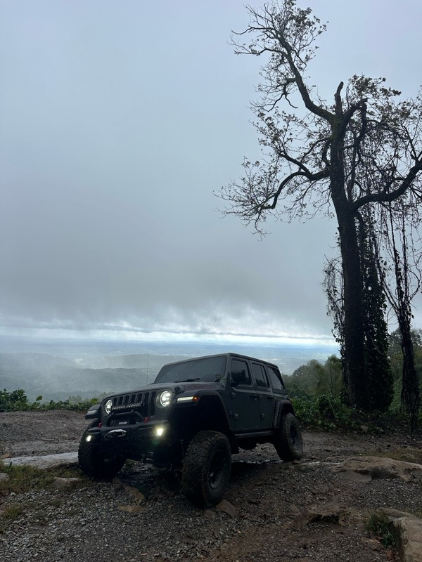
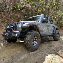
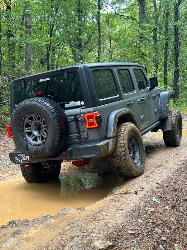
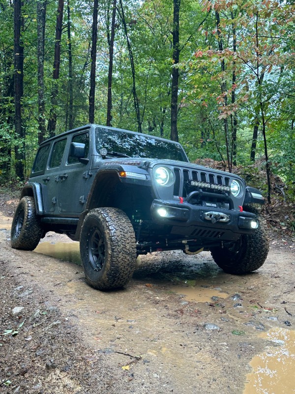
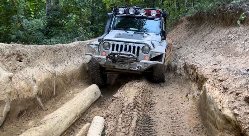
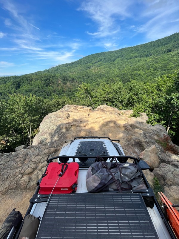
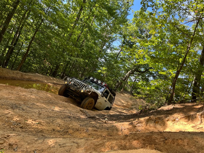
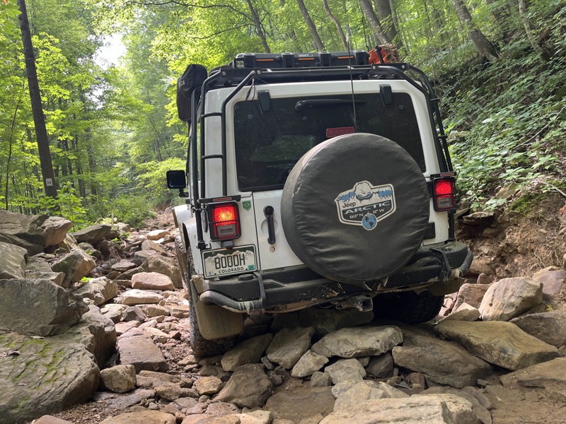
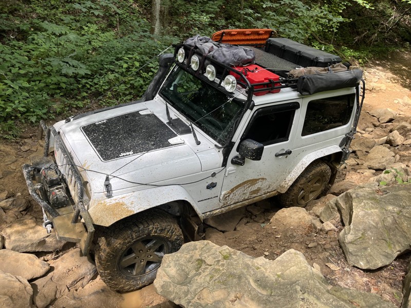
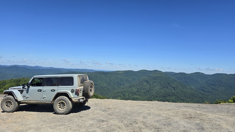
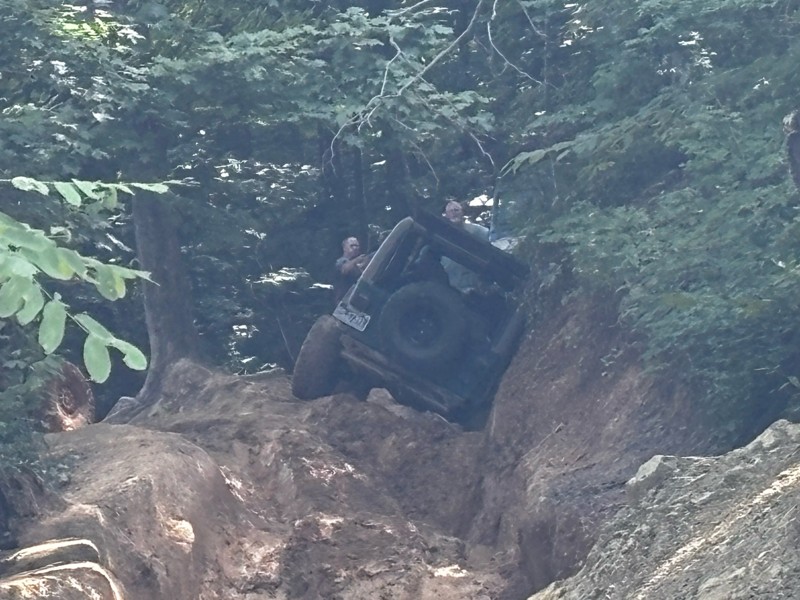
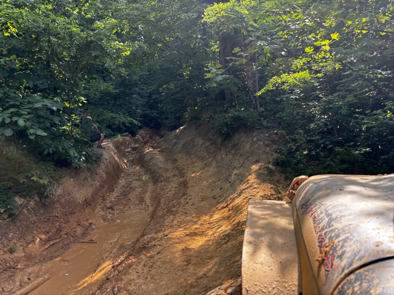
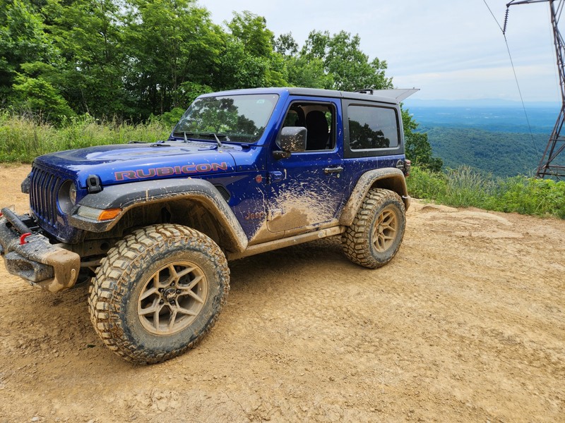
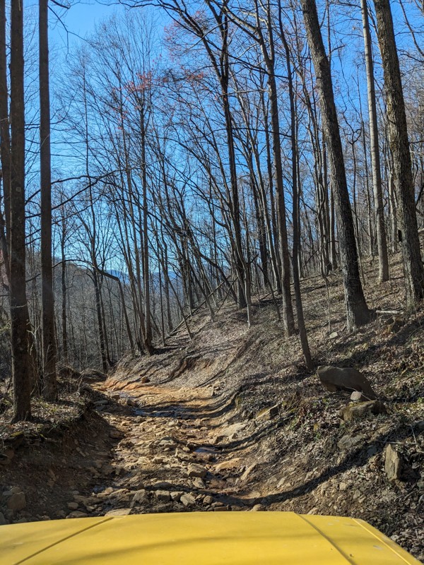
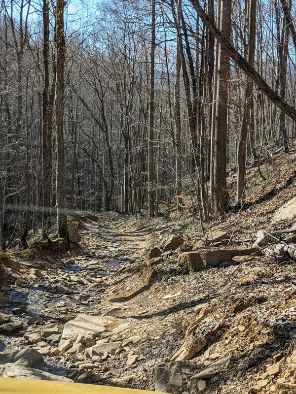
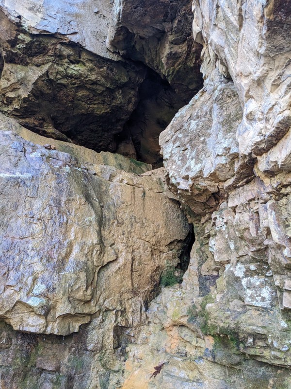
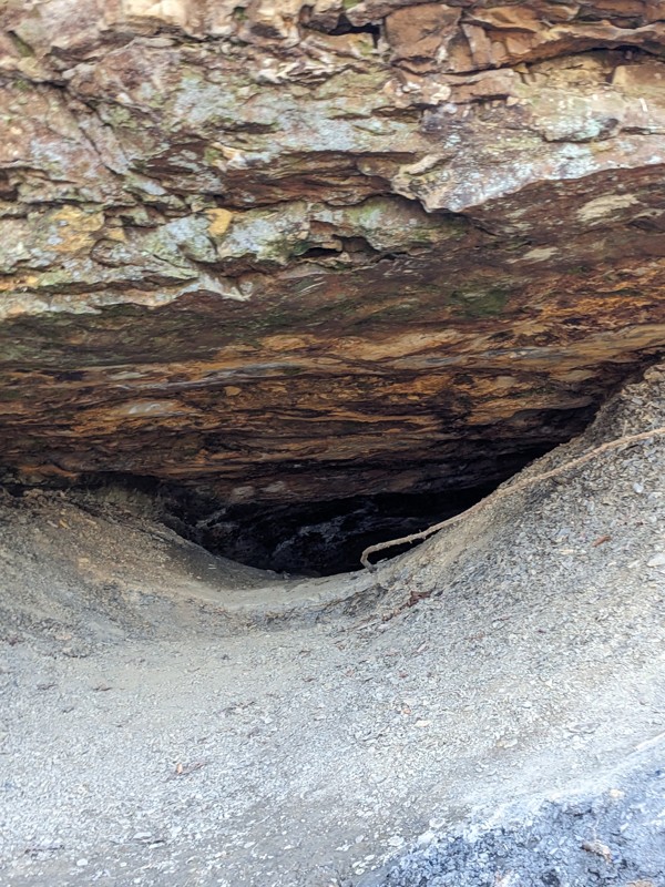
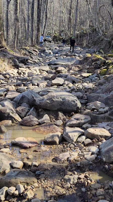
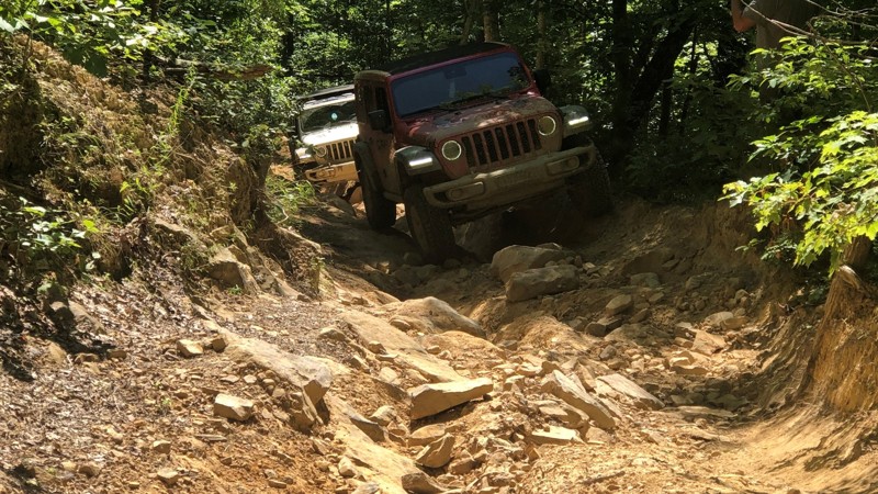
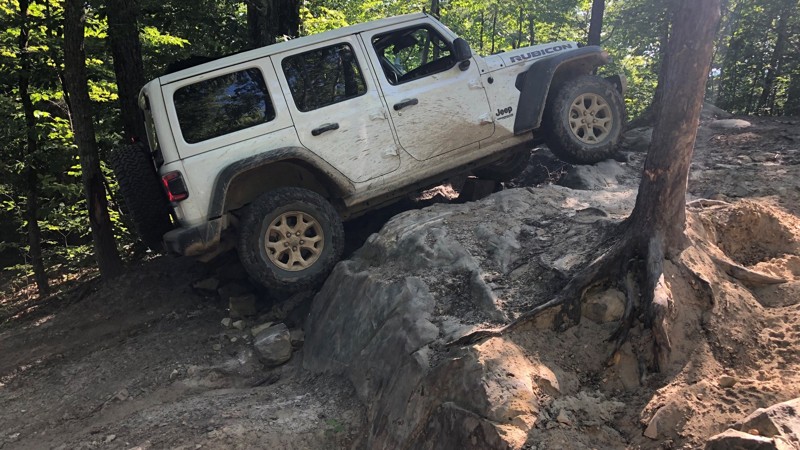
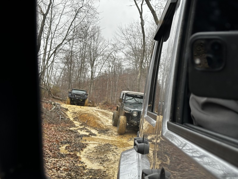
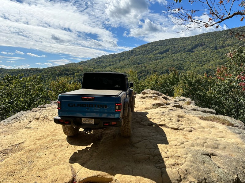
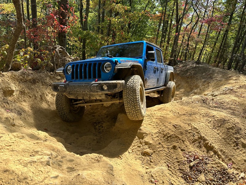
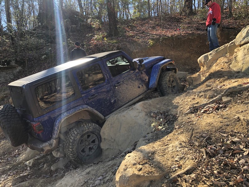
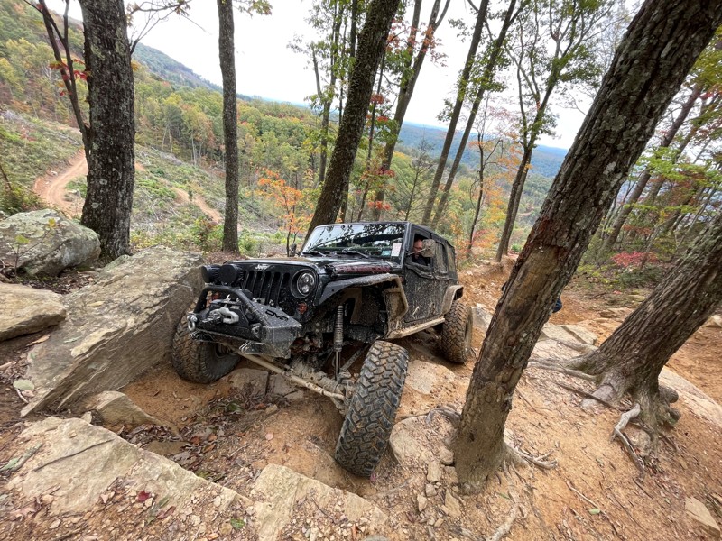
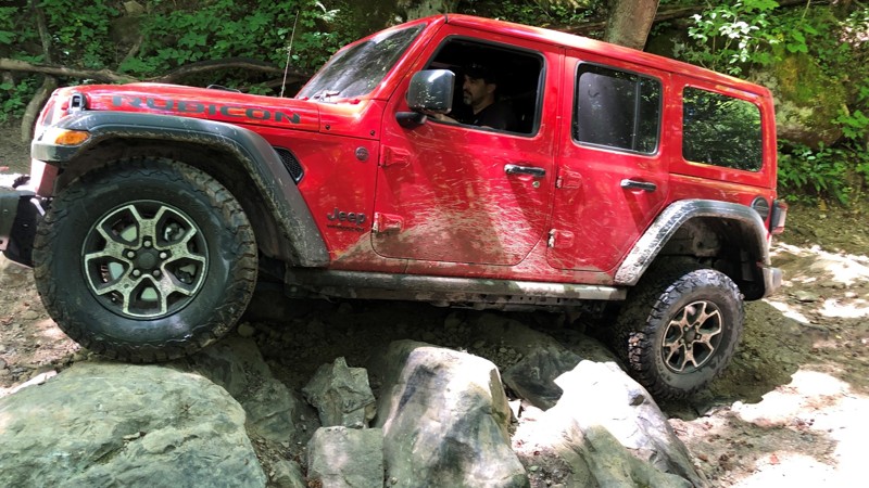
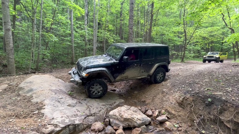
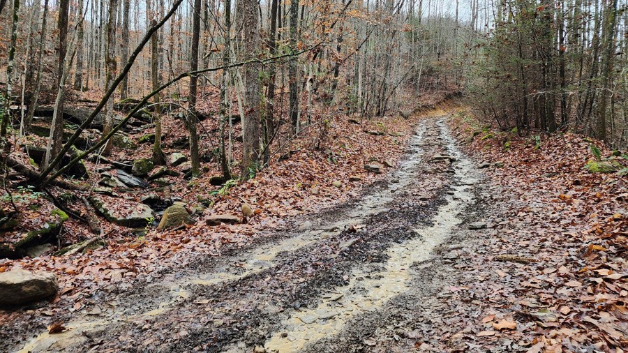
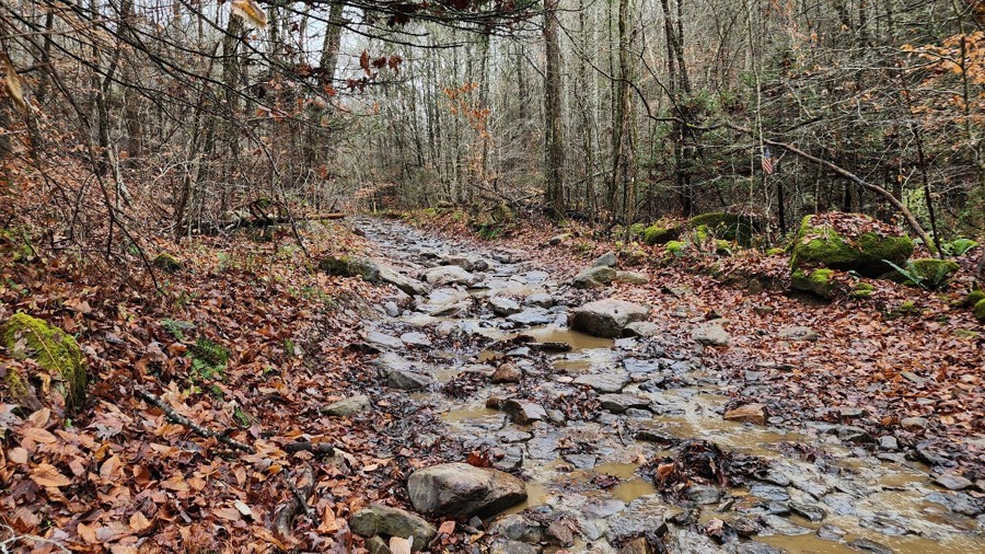
Windrock Park, located in Oliver Springs, Tennessee, is the nation's largest privately owned off-road recreation area, encompassing over 73,000 acres of diverse terrain and offering more than 300 miles of trails suitable for all types of off-road vehicles, including ATVs, side-by-sides, dirt bikes, Jeeps, and trucks. The park is open year-round, 24/7, and caters to riders of all skill levels with trails classified as easy, moderate, difficult, and extremely difficult. This variety ensures that both novices and seasoned offroad enthusiasts can find trails that match their experience and thrill-seeking desires. Various events throughout the year are held at the park, including off-road competitions and festivals, adding an extra layer of excitement to any visit.

Beyond the extensive trail network, Windrock boasts a full-service campground with deluxe and primitive cabins, RV sites with full hookups, and primitive campsites, all set against the picturesque backdrop of East Tennessee's mountains and valleys. Amenities such as bathhouses and pavilions enhance the camping experience. For those without their own off-road vehicles, the park offers side-by-side rentals, ensuring that everyone can partake in the adventure. Additionally, the on-site General Store provides essentials, souvenirs, and permits, making trip planning convenient.

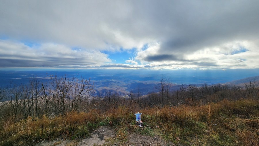
Whether you're seeking the thrill of challenging trails, the camaraderie of community events, or the serenity of nature, Windrock Park offers a comprehensive off-road experience that caters to all enthusiasts.

Top Reasons to Explore Here
Altitude Category IconAltitude
Beginner Category IconBeginner
Forest Category IconForest
Mine Category IconMine
Mud Category IconMud
ORV Park Category IconORV Park
Rock Category IconRock
Scenic Category IconScenic
Water Category IconWater
Trail Types
Scout Route
Full Trail Guide

Preview Trail Icon
Preview Trails
easy
moderate
difficult
severe
extreme

All-Access
Scout Route
Start a 7-day Free Trial

Most Recent Trail Reviews

Most Popular

Search for Trails
Tennessee: Windrock 51: Panther Rock Hero Photo
All-Access Preview Icon
4.5/5 (12 reviews)
Updated: 07/09/2024
Windrock 51: Panther Rock
Open
/
Oliver Springs, Tennessee/
2.43 miles/
About an hour

Located in the northeast part of Windrock Park, Trail 51 takes you to a breathtaking overlook named Panther Rock. This namesake rock feature overlooking the surrounding mountains and Three Forks Hollow is the perfect offroad trail for a lunch picnic or a romantic dinner at sunset. Whether you visit for the views or the Jeep Badge of Honor designation, Panther Rock is a "must-do" Tennessee offroad trail.

Tennessee: Windrock 26 Hero Photo
All-Access Preview Icon
4.8/5 (6 reviews)
Updated: 07/08/2024
Windrock 26
Open
/
Oliver Springs, Tennessee/
2.26 miles/
About an hour

Located on the far west end of Windrock Park, Windrock 26 is a rocky and bouldery trek up the scenic Bletchers Creek. With close proximity to Brushy Mountain State Penitentiary, this trail cries out to the adventurous driver seeking heart-pounding thrills. Whether attempting to check off your Jeep Badge of Honor or just hoping to further your offroad skills, Windrock 26 is a must-do trail.

Tennessee: Windrock 16 Hero Photo
All-Access Preview Icon
4/5 (5 reviews)
Updated: 02/05/2025
Windrock 16
Open
/
Oliver Springs, Tennessee/
5.6 miles/
About 3 hours

Windrock 16 is one of Windrock's longest trails and is a continuous onslaught of varying obstacles that will test your driving abilities, your nerves, and your group's attrition. This punishing trail offers deep off-camber trenches, big rocks, and slippery hill climbs that await those with the courage to take on a lengthy adventure. This trail rewards the battle-weary with a spectacular waterfall and scenic views to top off an adrenaline-filled trail ride.

Tennessee: Windrock 22 Hero Photo
All-Access Preview Icon
5/5 (6 reviews)
Updated: 06/15/2024
Windrock 22
Open
/
Oliver Springs, Tennessee/
5.66 miles/
About 2 hours

Located within Windrock Park, Windrock 22 is one of the first trails you will encounter as you leave the parking area. This is a great trail to get your feet wet right away and tackle a variety of obstacles, including steep climbs, creek crossings, mud holes, rock climbs, and boulder fields. If you want to skip the boring greens and start your day right away with great 4-wheel action, don't blink, or you might drive right by this gem.

Tennessee: Windrock G1 Hero Photo
All-Access Preview Icon
4.7/5 (3 reviews)
Updated: 07/06/2024
Windrock G1
Open
/
Oliver Springs, Tennessee/
8.75 miles/
About 2 hours

Winding its way along the southern ridge of Windrock Mountain, G1 is the perfect access road to allow you to choose your adventure. With numerous options, drivers can keep to a 2WD adventure or take one of the many, much more challenging trails in Windrock Park or anything in between. A few vantage points break through the trees occasionally, allowing you to enjoy the expansive views of the countless ridges and valleys that make up this part of Tennessee. Whether you use G1 for access or adventure, this will be a great addition to any itinerary.

Tennessee: 15 - The Gatekeeper Hero Photo
All-Access Icon
5/5 (4 reviews)
Updated: 06/05/2022
15 - The Gatekeeper
Oliver Springs, Tennessee
Located in the heart of the 73,000 acre Windrock Park, this daunting double black diamond trail is not for the faint of heart... We try to put a waypoint at obstacles, but if we did that on this trail, the entire trail would be waypoints. With obstacle after obstacle, if you can make it through "The Gatekeeper", you should be ready to tackle the rest of Windrock Park. Let us put it to you this way, the trail footage you see of "The Gatekeeper", if there wasn't a vehicle in it, it's because we walked it to try and show you what to prepare for... And we were definitely out of breath by the top... Get ready for a heart-pounding hard trail if you attempt this one. You're gonna need a spotter; but you CAN conquer the "Gate Keeper"... if you're prepared.
Tennessee: Windrock G50 Hero Photo
All-Access Preview Icon
4/5 (3 reviews)
Updated: 07/18/2024
Windrock G50
Open
/
Oliver Springs, Tennessee/
3.24 miles/
About an hour

Running along the southeastern ridge of Redoak Mountain, G50 is a mild 4WD trail providing access to the eastern side of Windrock Park and trails such as Windrock 89 and the famous Jeep Badge of Honor trail Panther Rock. G50 also offers impressive views over Walden Ridge, Pine Ridge, and Dutch Valley, among many other hills and valleys in the distance. Whether you are running G50 as access or for pleasure, stop at the viewpoint and enjoy the greenery that Tennessee is known for.

Tennessee: Windrock 2 and G10 Hero Photo
All-Access Icon
0/5 (0 reviews)
Updated: 06/14/2023
Windrock 2 and G10
Oliver Springs, Tennessee

Windrock Park is full of trails for all skill levels. Trails 2 and 10 make for a good intro into moderate trails, with all obstacles providing opportunities for the beginner driver to gain experience. Winding down from Windrock Mountain to Horseshoe Ridge, users only glimpse a tiny bit of what Windrock Park offers. Once the journey is complete, it is simple to return to the park and continue on an epic adventure.

Tennessee: Windrock 89 and G66 Hero Photo
All-Access Icon
4/5 (1 reviews)
Updated: 06/14/2023
Windrock 89 and G66
Oliver Springs, Tennessee

Windrock Park is full of trails from easy to difficult to please any user. Trail 89 and G66 make for a relatively easy way to exit the park, with a few minor obstacles to keep your attention. The canopy of trees breaks occasionally, giving you glimpses of the sky while you wind your way down the lush forested mountainside that is Windrock Mountain.

Tennessee: Windrock G39 Hero Photo
Scout Route Icon
2/5 (1 reviews)
Updated: 10/15/2024
Windrock G39
Oliver Springs, Tennessee
Windrock G39 is a 5-mile, straight-through road that connects G2 and G6, looping around a few extreme trails such as Rail Trail and Cadillac Hill. You can run the trail in either direction. From east to west, the trail is mostly an easy and casual drive through the forest, passing cliffs, small waterfalls, and an old, dilapidated shack. The last 0.75 miles on the west side is the only moderate part of the trail. This section has a moderate downhill descent with significant ruts and water runoff. This part of the trail would be more difficult if running it west to east, in the uphill direction. This trail is suitable for any stock high-clearance vehicle with low gearing.
Tennessee: Windrock Connector Trail Hero Photo
Scout Route Icon
4/5 (4 reviews)
Updated: 10/24/2024
Windrock Connector Trail
Oliver Springs, Tennessee
This hard-packed dirt road connects the camping area of Windrock to the General Store. It will also include areas with erosion ruts and protruding rock. The north end has a reasonably steep incline or decline depending on which way you take the road, which could pose a problem for 2WD vehicles. Camping is not allowed on any of the roads within Windrock.
Tennessee: Windrock G53 Hero Photo
Scout Route Icon
4.5/5 (2 reviews)
Updated: 10/15/2024
Windrock G53
Briceville, Tennessee
G53 can be accessed via G50 or G52 and it provides quick a quick access or exit of Panther Rock. It is an easy road, with its bottom and eastern half starting in dense Kudzu vines before gaining elevation at the top as you pass old mining ruins, Black Eyed Susans, and a cell tower. A few puddles and eroded sections will be found along the way, but the road is suitable for any high clearance vehicle.
Tennessee: Windrock G5 Hero Photo
Scout Route Icon
1/5 (2 reviews)
Updated: 10/15/2024
Windrock G5
Oliver Springs, Tennessee
G5s true purpose is to provide access to other trails in the area, such as the famous Windrock Trail 22. It is wide, dusty, and whooped out with long washboard sections. If you get a whiff of a petroleum-based product, it is most likely not your vehicle but from the battery of tanks that you will drive past.
Tennessee: Windrock G7 Hero Photo
Scout Route Icon
4/5 (2 reviews)
Updated: 10/15/2024
Windrock G7
Oliver Springs, Tennessee
G7 is a scenic route that evolves from a well-graded road to a trail with embedded rock about 3/4 of the way in. After you pass G15, the road becomes very tight, and pinstriping is certain. Goldenrod is plentiful along this trail and adds a splash of color to the hyper-green surroundings. A couple of breaks in the vegetation give you a peek at the rolling hills surrounding the park, and if the clouds aren't too low, the windmills at the top of the ridge come into view. Some map companies indicate a road going further north of G7 from its end, but we have not verified that. Generally, trails are well-signed in the park by yellow ground stakes or tree signs.
Tennessee: Windrock Trail 4 Hero Photo
Scout Route Icon
4.5/5 (2 reviews)
Updated: 10/15/2024
Windrock Trail 4
Oliver Springs, Tennessee
Trail 4, a blue trail, packs in a bunch in its short distance. It starts with a mild drive on smooth dirt past interesting rock formations before dropping into a ravine as it wraps around Toddy Mountain. In this ravine section, you are met with mild rock crawling, hard-bottomed water crossings, and even more rock formations and cliff walls to gaze at. Suitable for beginners with high-clearance 4 low-capable vehicles.
Tennessee: Windrock 35 Hero Photo
Scout Route Icon
5/5 (1 reviews)
Updated: 04/19/2025
Windrock 35
Oliver Springs, Tennessee

Traveling south to north, this trail starts mild but gets interesting quickly after crossing the creek at the 180-degree turn. You will be challenged by continuously climbing loose rocks that get very slick with a little bit of moisture. There are optional lines through the climb to challenge big rigs, but with a steady pedal and good decision-making, you can reach the top in a stock 4x4 with high clearance.

Tennessee: Windrock G40 Hero Photo
Scout Route Icon
4/5 (2 reviews)
Updated: 10/15/2024
Windrock G40
Oliver Springs, Tennessee
G40 is a straightforward out-and-back road until the last 1,500 feet. The beginning portions of the road offer sites of flowering trees, cliffs, trickling waterfalls, and even an old shack that is probably left over from the oil and gas activity you will see. When you get to the end, you can turn around before the steep and loose hill that leads to a water hole and the termination of the trail.
Tennessee: Windrock G6 Hero Photo
Scout Route Icon
1/5 (1 reviews)
Updated: 10/15/2024
Windrock G6
Oliver Springs, Tennessee

G6 is a relatively easy road providing access to other trails within Windrock Park, such as Windrock 26. It is a packed dirt trail that is prone to ruts. However, proper tire placement should make quick work of them. Access to Knoxville Highway is also possible with the addition of Windrock 39.

Tennessee: Windrock 75 Hero Photo
Scout Route Icon
5/5 (1 reviews)
Updated: 10/15/2024
Windrock 75
Briceville, Tennessee

This trail is a double black diamond on Windrock's rating system, and numerous obstacles certainly warrant that rating. With large rock fins, steep climbs and descents, and ridge-top views, this trail has it all for a seasoned driver with a capable rig. Many obstacles have bypasses, making this a good place for people looking to try something out of their comfort zone without committing to winching all day. The obstacle in the "Hardest Part" photo has a bypass.

Tennessee: Windrock 30 Hero Photo
Scout Route Icon
3/5 (1 reviews)
Updated: 10/15/2024
Windrock 30
Marlow, Tennessee

Running Windrock 30 from south to north is a steady climb with a mix of obstacles, including deep ruts, v-notches, and small boulder fields. Even in dry conditions, rocks may be slick as water tends to run down this trail. Bypasses are limited, and there are several obstacles where vehicles with limited articulation will struggle.

Tennessee: Windrock 27: Kener Gap Hollow Hero Photo
Scout Route Icon
4/5 (1 reviews)
Updated: 02/20/2025
Windrock 27: Kener Gap Hollow
Petros, Tennessee

Windrock 27 is a two-way trail accessed from G6 or Trail 26. Offroaders can expect steep inclines or declines depending on which way this trail is driven. There's a rut large enough to swallow a Jeep. Depending on your rig, it may result in off-camber moments with the potential for light body damage if not careful.

One item of interest is if drivers access 27 from G6 and exit via G26, they could leave Windrock Park and access attractions such as the Historic Brushy Mountain State Penitentiary.

Tennessee: Windrock G2 Hero Photo
Scout Route Icon
2/5 (2 reviews)
Updated: 10/15/2024
Windrock G2
Oliver Springs, Tennessee
Leaving the General Store within Windrock, you drive up what is known as P2. P2 eventually merges into G2. The G stands for gravel. This G road is quite simple and easy as it climbs to higher elevations passing many of the main roads within the park. If you choose to take it to the end, you are met with views of the gigantic windmills at the top. Plan for a lot of dust and traffic.
Tennessee: Windrock 82 Hero Photo
Scout Route Icon
2/5 (1 reviews)
Updated: 10/15/2024
Windrock 82
Oliver Springs, Tennessee

This trail is almost entirely smooth gravel two-track with a few shallow puddles and small rocks strewn around. The exception is the large rock ledge at the eastern entrance. As if the ledge itself wasn't enough of a challenge, the approach is steep and covered in loose gravel. To the driver's side, there is a large tree that could easily rearrange sheet metal or remove a mirror. That risk forces vehicles into an off-camber climb attempt to the passenger side. The top of the ledge is likely to have holes from drivers trying to scramble their way to the top, making traction even trickier. Running west to east to descend the ledge, vehicles may still risk hitting their bumper and rear-mounted spare tires.

Tennessee: Windrock G52 Hero Photo
Scout Route Icon
3/5 (2 reviews)
Updated: 10/15/2024
Windrock G52
Briceville, Tennessee
G52 can originate at the northern trailhead of Panther Rock which can then be used as an alternate way back to pavement. It is wide and gravel for its entire distance until the very east end, where erosion starts showing up on the trail. Interestingly, along the trail, you will find signs posted for a vending machine, and they don't lie as once you hit the pavement, there is a lone vending machine on the side of the road in a neighborhood.
Tennessee: Windrock 11 Hero Photo
Scout Route Icon
3/5 (2 reviews)
Updated: 10/15/2024
Windrock 11
Briceville, Tennessee

Trail 11 is a mostly graded route with a few low spots that often hold shallow standing water when run clockwise. Occasionally, heavy rains will cause small washouts in areas as well. Along the trail, you pass old mining operations identifiable by clearly sculpted features in the hillside, and you can still find natural pieces of coal on the ground. Near the end of the trail, to the northeast, two uphill rock gardens represent the only real challenges. The first has larger rocks and is wide enough for drivers to pick from several lines. The upper garden is essentially one lane, but with smaller rocks, it is easily traversed with steady momentum and throttle control.

Tennessee: Windrock Trail 19 Hero Photo
Scout Route Icon
4.5/5 (2 reviews)
Updated: 10/15/2024
Windrock Trail 19
Oliver Springs, Tennessee
A fun "blue" trail that connects G37 and G20. If you start from G37, you generally drive uphill and pass through a few small and mild rock gardens. The north end, as you exit, will provide a challenge if wet with a dirt-surfaced undulated hill climb. As a bonus, the trail includes a section of jurrasic-sized boulders lying on the hillside and tarzan-like vines. Suitable for any high-clearance stock SUV with low gears.
Tennessee: Windrock G3 Hero Photo
Scout Route Icon
3/5 (1 reviews)
Updated: 10/15/2024
Windrock G3
Oliver Springs, Tennessee
Windrock G3 is a 4.3-mile trail leading to the nastiest rock trails Windrock offers. This trail takes you past scenic rock walls below Wolf Ridge, splashing through the occasional mud puddle, and ends just before a creek crossing over Laurel Fork. The most challenging spot along G3 is a driver's side hole that leans the vehicle 12 degrees. Easily driven by any stock vehicle, the primary purpose of Windrock G3 is as an access road to the extreme trails 3, 39 (Cadillac Hill), 40 (Rail Trail), and 40A. While G3 is considered a straight-through trail, only highly modified vehicles will be able to continue onto Trail 3, and all others will need to treat it as an in-and-out. The trail's end offers a small area to turn around or park to watch larger rigs take on the extreme trails.
Tennessee: Windrock G9 Hero Photo
Scout Route Icon
4.7/5 (3 reviews)
Updated: 10/15/2024
Windrock G9
Oliver Springs, Tennessee
G9 is all about the view! It is a short out-and-back trail with a few minor rocks to maneuver over, leading to an epic viewpoint. There is plenty of room at the top for multiple vehicles which there is sure to be. Take a break from exploring, enjoy the views of both sides of the ridge, snap a few photos, and get back on the trails. Even on a cloudy day, this spur is a treat.
Tennessee: Windrock 83 Hero Photo
Scout Route Icon
0/5 (1 reviews)
Updated: 10/15/2024
Windrock 83
Oliver Springs, Tennessee

Windrock 83 is a two-way trail. It can be entered via G33 or G6. It can also be used to access Windrock 82, a difficult trail. While 83 is a relatively short trail, it offers great views down the mountainside and into the valley below. It also has several interesting rock features and waterfalls. The trail is known for its entrance to a mine system. While the mine entrance looks tempting to explore, exercise caution due to potentially dangerous gases that may have collected. Windrock discourages guests from entering. However, on a hot day, 83 can be a refreshing oasis due to the cold air coming out of the mine shafts. The trail exhibits mostly rough dirt and, depending on recent weather, several mid to large muddy puddles. The hardest part is the incline from entering the trail via G6.

Tennessee: Windrock G20 Hero Photo
Scout Route Icon
3.5/5 (2 reviews)
Updated: 10/15/2024
Windrock G20
Oliver Springs, Tennessee
G20 is a tale of two roads. On the west side, it's fairly wide and open, and as you travel around its point, it gets narrow with the potential for pinstriping and minor hard-bottomed puddles. The east side has oil and gas facilities and connects with Trail 4. If you take Trail 4 to the west, it's actually easier than G20, but if you take it to the east, plan on rock crawling and water crossings.
Tennessee: Windrock 36 Hero Photo
Scout Route Icon
2/5 (1 reviews)
Updated: 10/15/2024
Windrock 36
Oliver Springs, Tennessee

Windrock 36 is a short, unmaintained trail taking users to the southern trailhead for G6. The only obstacles on this trail are moderate ruts. The trail is under a mile long but takes a little time to get through. The shade keeps the trail wet longer, and when this trail is wet, it is significantly more challenging. 4WD is necessary in all but optimal conditions, but no lift is needed unless the trail sees severe damage.

Tennessee: Windrock 5 Hero Photo
Scout Route Icon
3/5 (1 reviews)
Updated: 10/15/2024
Windrock 5
Fork Mountain, Tennessee
Windrock 5 is a connector road that can be used as a shortcut between G6 and G37 at Flat Gap, along the north side of American Knob. The trail is mainly packed dirt and rock with occasional potholes and mud holes. It is a short trail at just under a mile long and offers riders interesting rock cliff views. This trail is suitable for any stock high clearance vehicle.
Tennessee: Windrock G37 Hero Photo
Scout Route Icon
1/5 (2 reviews)
Updated: 10/15/2024
Windrock G37
Oliver Springs, Tennessee
G37 connects several other trails, which would be its main purpose as it offers very little in views and excitement.