Region

Big Frog and Cohutta Wilderness

Georgia

Offroad Trails in Big Frog and Cohutta Wilderness

A Region within Georgia
4.3/5 (22)

Exploring the Overland Adventure Through Big Frog and Cohutta Wilderness

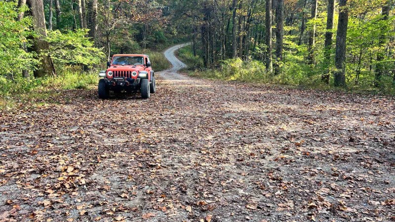
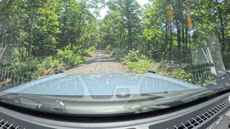
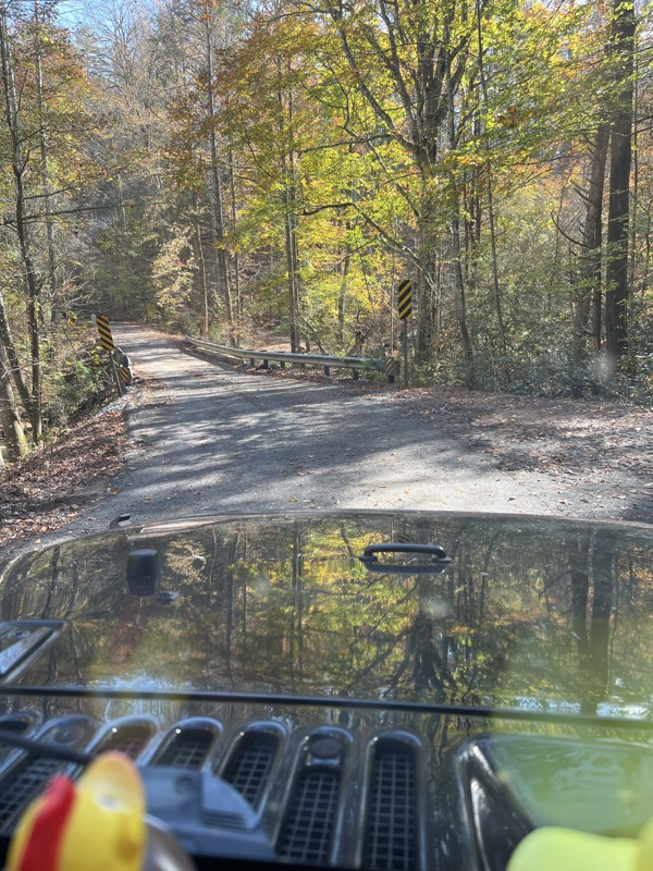
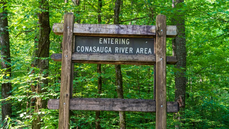
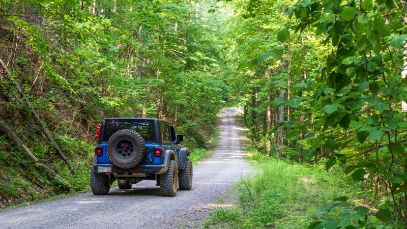
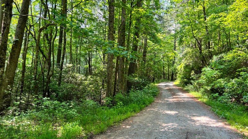
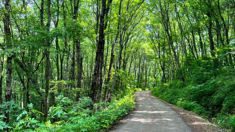
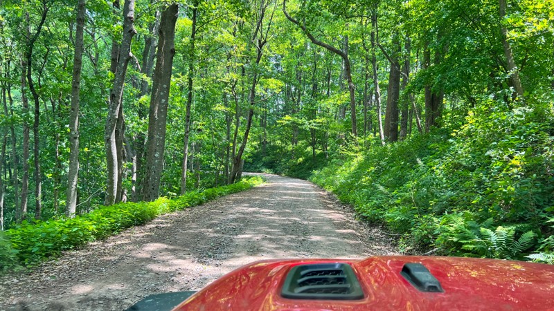
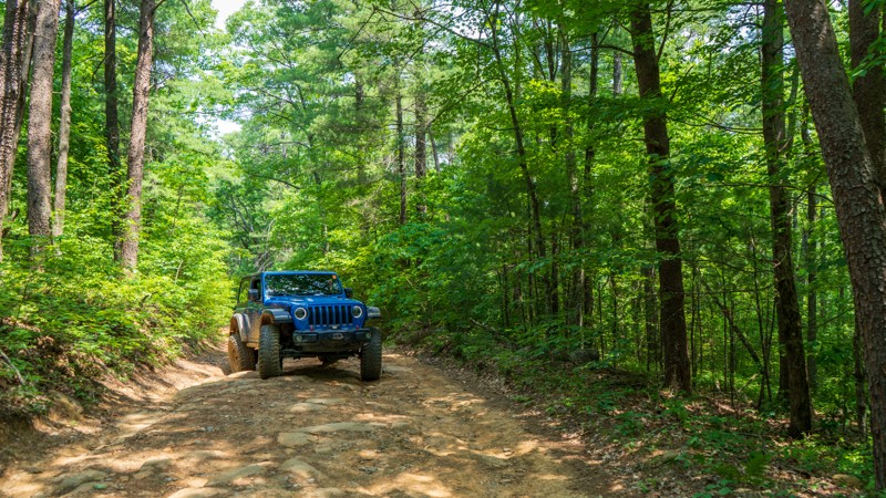
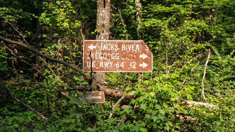
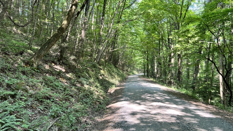
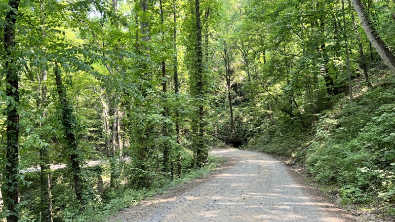
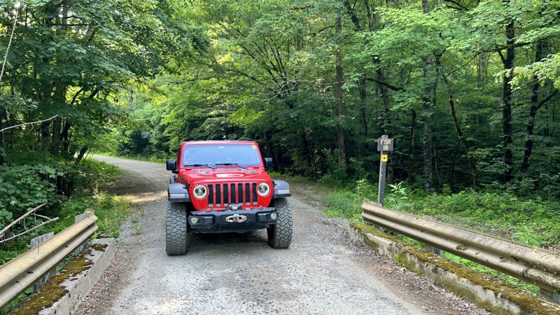
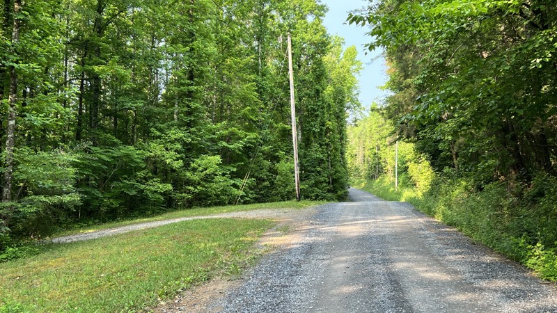
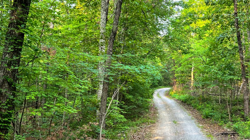
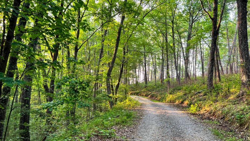
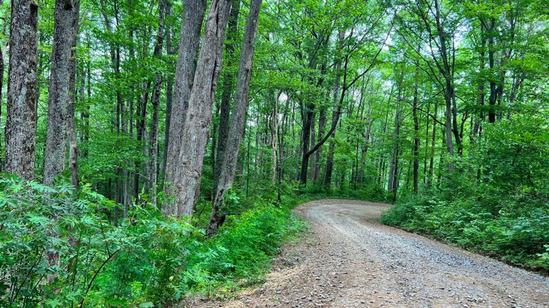
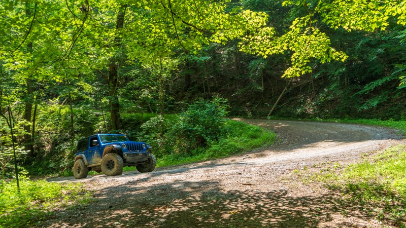
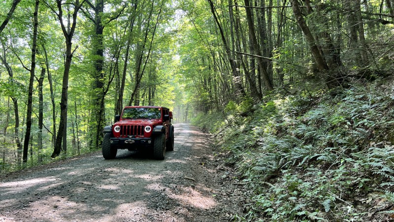
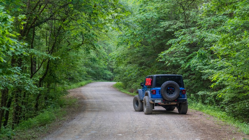
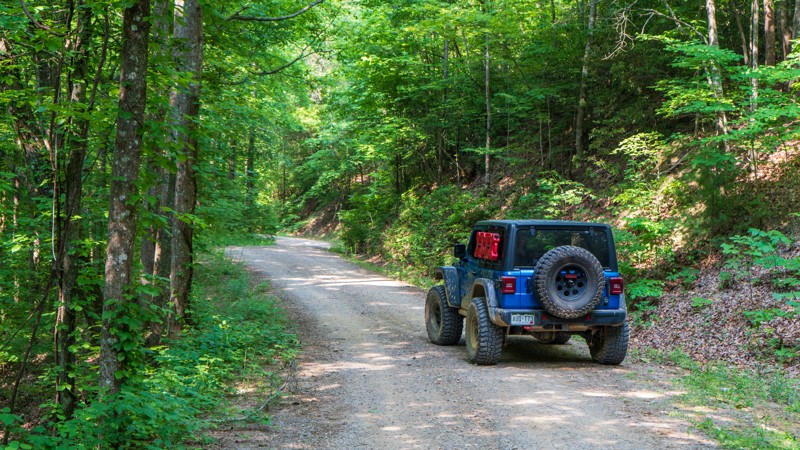
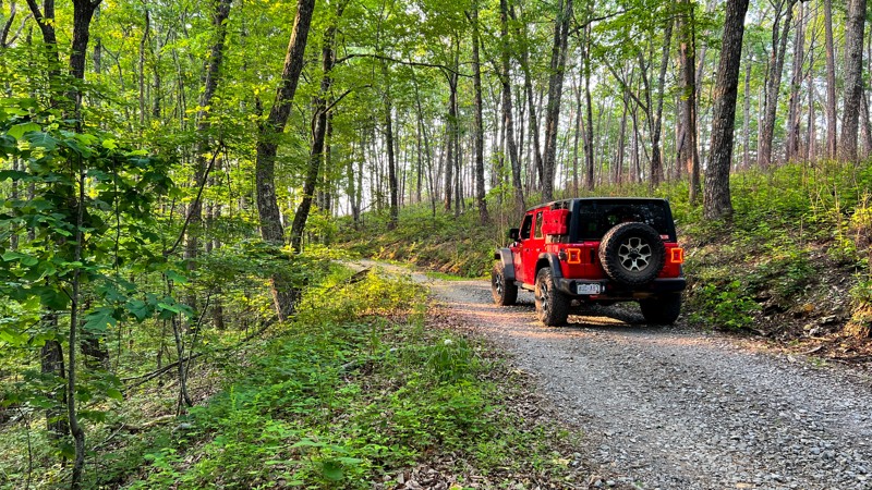
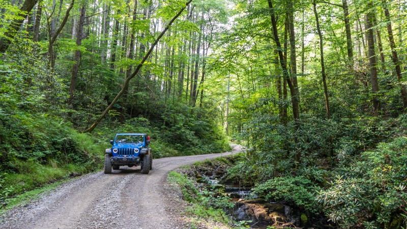
For overlanders seeking a true backcountry adventure, the dirt and gravel roads weaving through Big Frog Wilderness and Cohutta Wilderness offer an unparalleled journey through the Cherokee and Chattahoochee National Forests. This scenic and remote route spans over 70 miles, crossing both Tennessee and Georgia, and features a mix of well-maintained gravel roads, rugged unmaintained trails, and steep climbs that reward drivers with breathtaking overlooks.

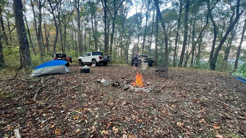
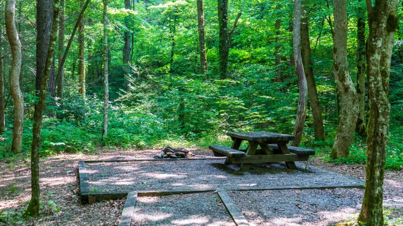
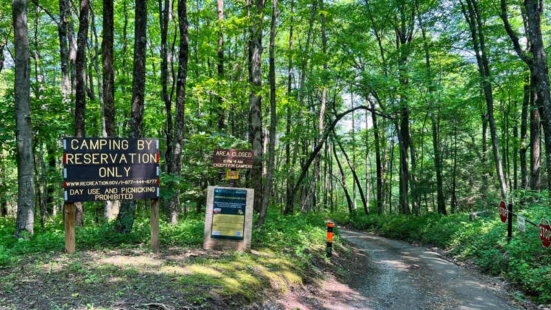
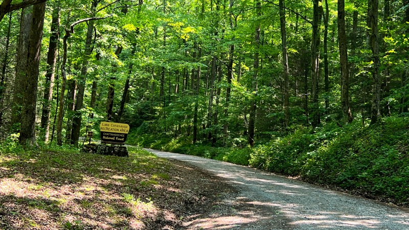
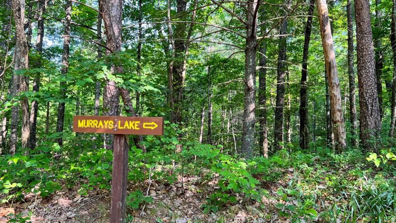
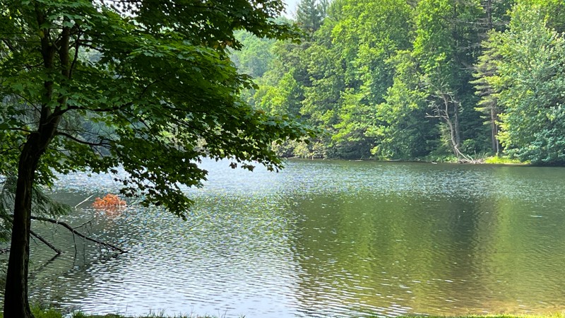
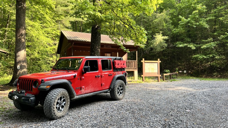
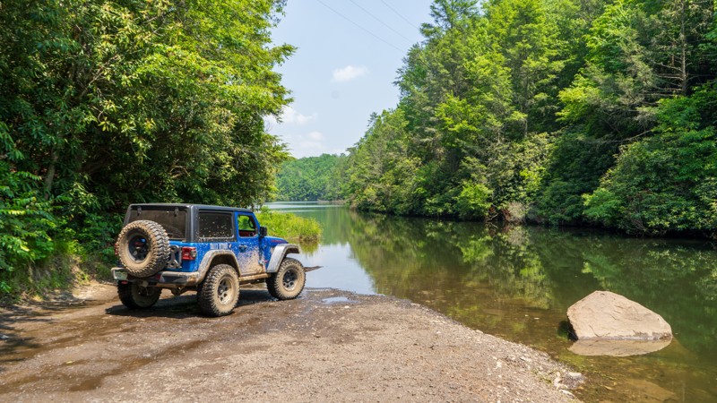
Allow at least two days to explore the route fully, soaking in the views, hiking the trails, and enjoying the solitude of nature. With six Forest Service campgrounds—each offering at least vault toilets—alongside numerous dispersed camping options, this region is an overlander’s paradise.

Diverse Terrain and Stunning Views

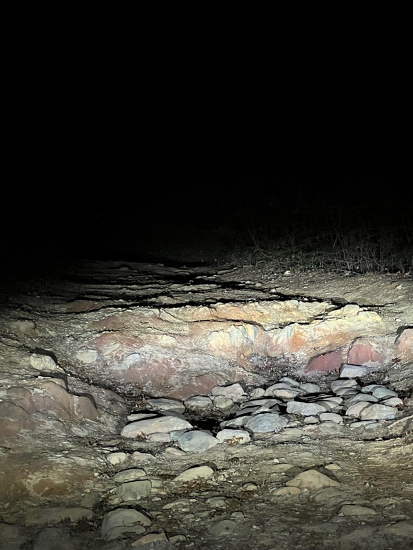
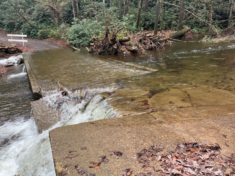
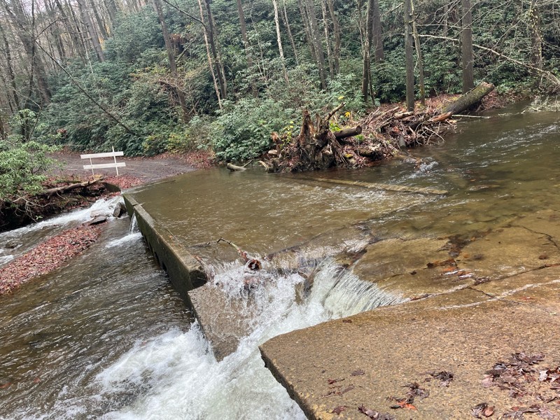
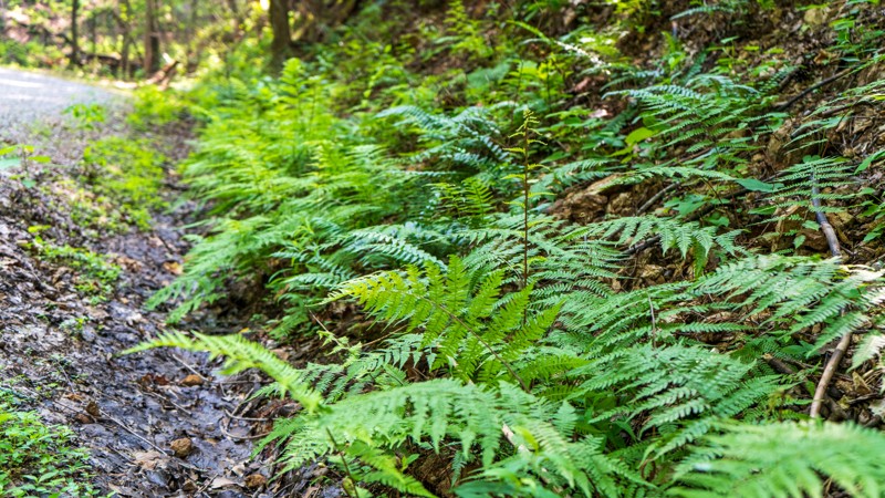
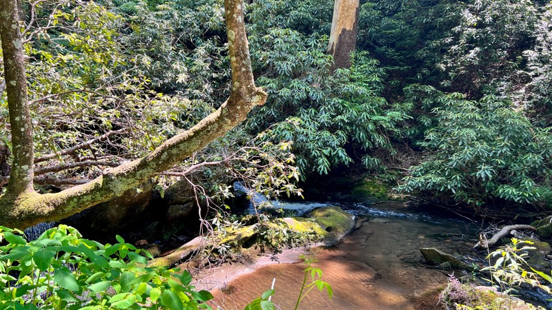
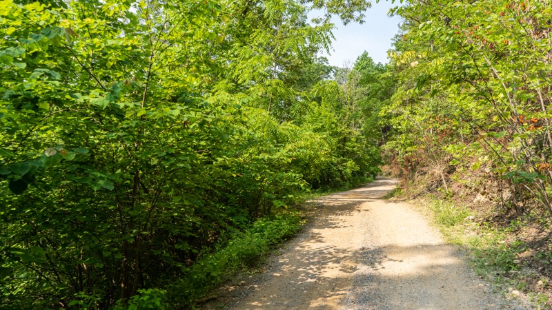
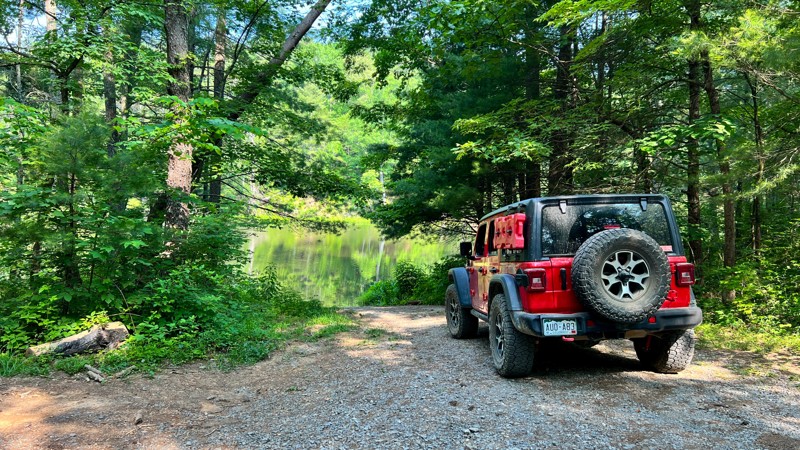
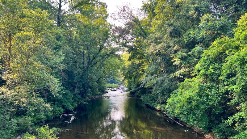
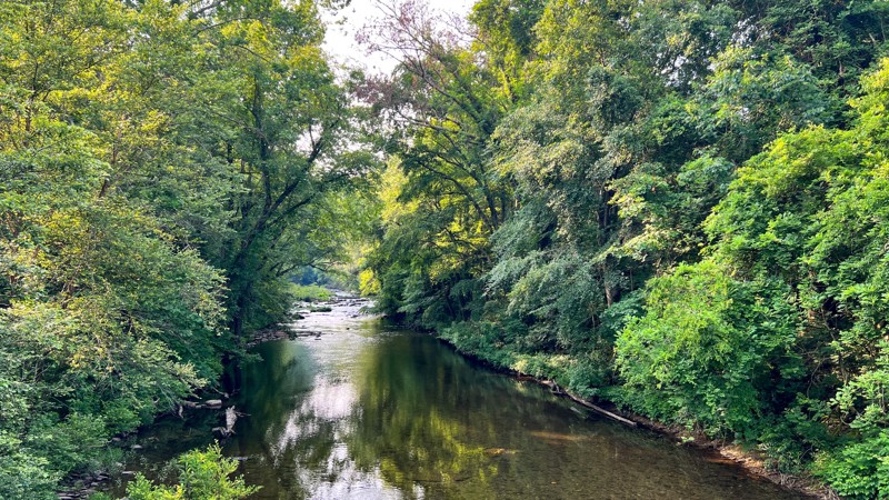
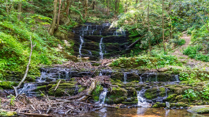
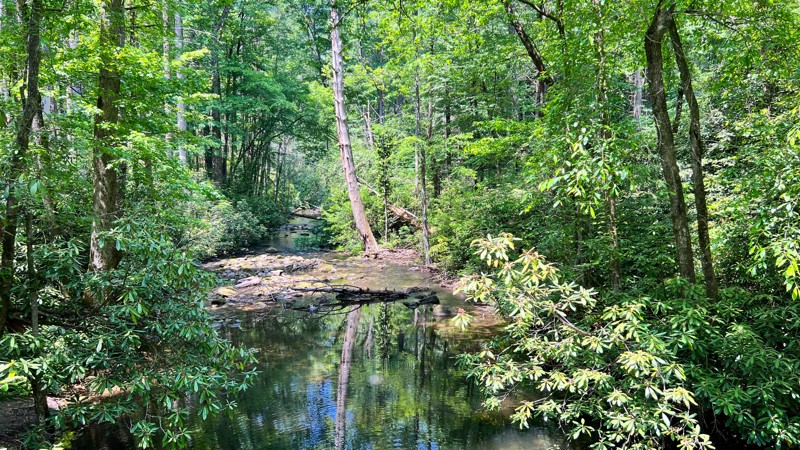
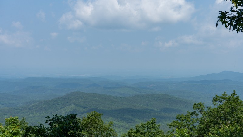
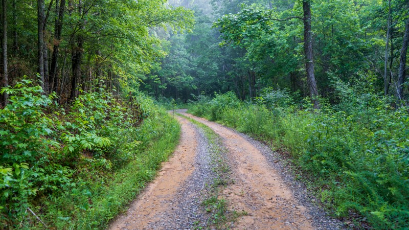
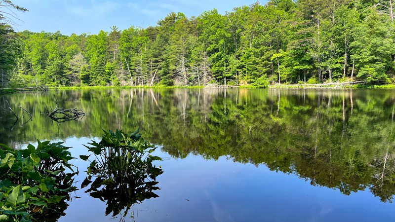
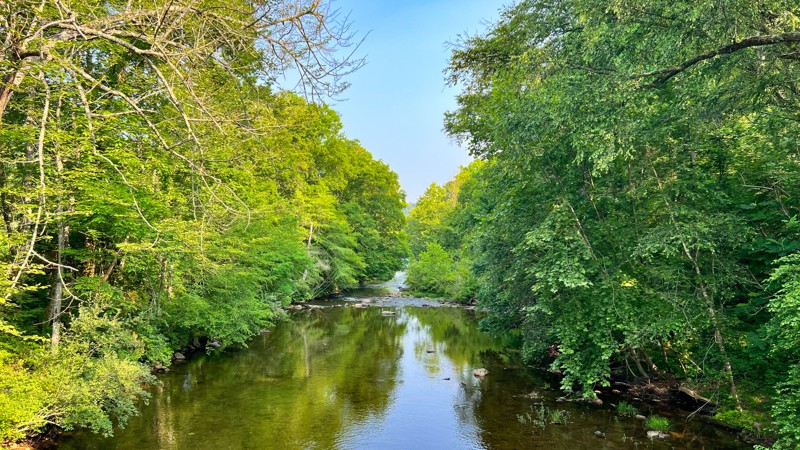
The roads wind through dense forests of Poplar, Beech, and Maple trees, transitioning into high-elevation ridgelines with sweeping views of the valleys below. In some areas, you’ll follow crystal-clear creeks, where waterfalls and natural swimming holes offer refreshing stops. Other sections climb over 2,000 feet, providing access to hiking trails leading to even more dramatic vistas.

Wildlife is abundant, with frequent sightings of deer, black bears, and wild turkeys. In spring and summer, wild raspberries and mountain laurel line the trails, adding vibrant splashes of color to the rugged landscape.

Camping and Logistics

With six designated campgrounds and numerous dispersed sites, overlanders have plenty of options for setting up camp under the stars. Popular spots include lakeside sites, secluded forest clearings, and creekside pull-offs. Most campgrounds operate on a first-come, first-served basis, so arriving early is recommended.

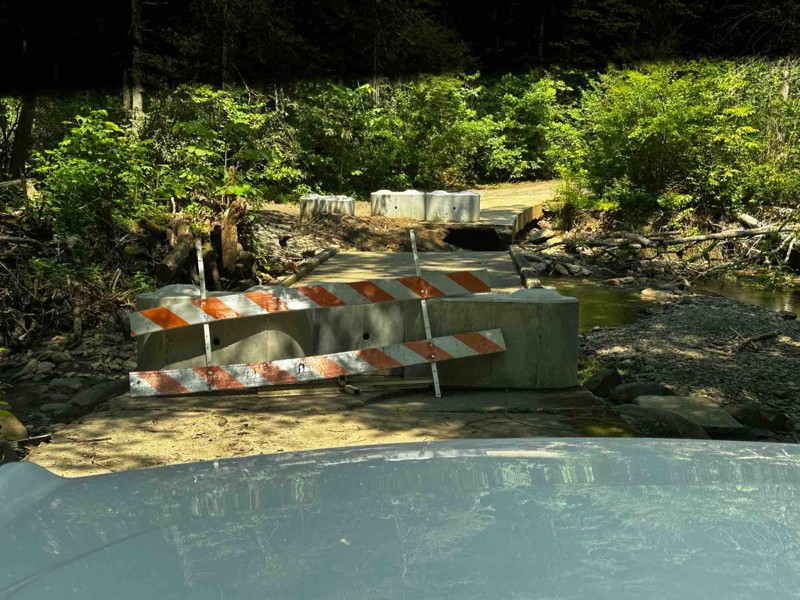
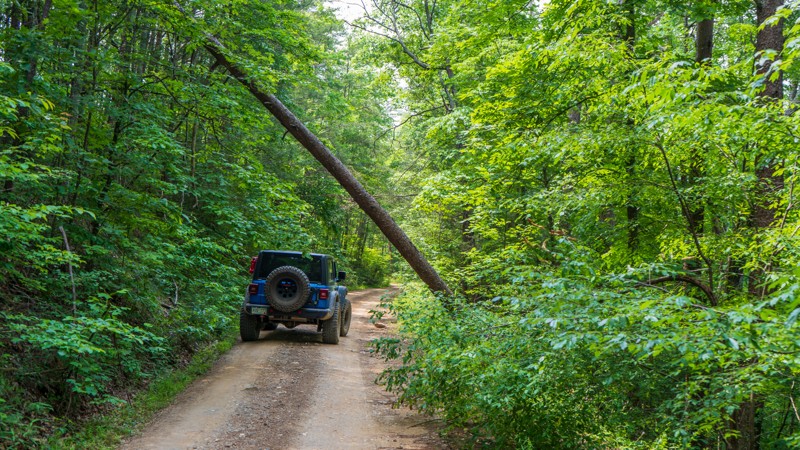
Many of the roads are closed from January to March due to seasonal conditions, so plan your trip accordingly. While most of the route is passable with a high-clearance vehicle, some sections feature rocky terrain and steep grades that may challenge smaller or two-wheel-drive vehicles.

The Ultimate Overlanding Escape

Overlanding through Big Frog and Cohutta Wilderness is a journey of discovery, offering remote trails, scenic campsites, and endless opportunities to explore the untouched beauty of the Southeast. Whether you're navigating winding forest roads, climbing steep ridgelines, or relaxing beside a quiet creek, this adventure is one you won't soon forget.

Top Reasons to Explore Here
Beginner Category IconBeginner
Camping Category IconCamping
Forest Category IconForest
Overland Category IconOverland
Scenic Category IconScenic
Water Category IconWater
Trail Types
Scout Route
Full Trail Guide

Preview Trail Icon
Preview Trails
easy
moderate
difficult
severe
extreme

All-Access
Scout Route
Start a 7-day Free Trial

Most Recent Trail Reviews

Most Popular

Search for Trails
Tennessee: Peavine Sheed Creek Road Hero Photo
Scout Route Icon
5/5 (5 reviews)
Updated: 07/07/2025
Peavine Sheed Creek Road
Willis Springs, Tennessee

One wouldn't think that only 27 miles in the same forest would warrant much of a chance of scenery, but this trail is a rarity. The beginning along the Conasauga River is lush green with Beech and Maple trees towering over the Flame Azaleas and Chinese Bush Clovers. As you begin to climb, Eastern White Pine start to take over with the floor opening up. Just like that, you enter into a forest of Rhododendrons with no view in either direction. Along the eastern side toward Chestnut Ridge, large vines swing from tree to tree, giving the feel of being in a true rainforest. Throughout its entirety, you will find incredible camping opportunities as well. Not enough can be said for trail that will take you by surprise.

Georgia: Three Forks Hero Photo
Scout Route Icon
4/5 (3 reviews)
Updated: 05/26/2025
Three Forks
Hasslers Mill, Georgia

Three Forks is part of the Cohutta Wilderness Area loop. It is mostly gravel with sections of embedded rock. This section of the loop includes older-growth hardwood trees that make a dense canopy for most of the route, so thick you will see plenty of moss growing on the trunks of the trees you pass by. As a bonus, this road has the Mountaintown Overlook, which gives expansive views of the valley below and ridgelines off in the distance. Several dispersed campsites can be found along this section of the loop. Most of this road is closed from January - March.

Georgia: Tumbling Creek Hero Photo
Scout Route Icon
5/5 (7 reviews)
Updated: 07/15/2025
Tumbling Creek
Dunn, Georgia

Tumbling Creek is one of the eight roads that make up the overlanding route around the Cohutta Wilderness Area. When traveling from the south to the north, the road quickly loses elevation, leaving the ridgelines' broken views behind you as you wind your way down to the lush laurel-lined trail below. Once towards the bottom, the road drives beside sections of its namesake, Tumbling Creek, with picturesque campsites dotted along its banks. Keep an eye out for mini waterfalls and bear! Most of this road is closed from January - March.

Georgia: West Cowpen Hero Photo
Scout Route Icon
5/5 (3 reviews)
Updated: 11/05/2024
West Cowpen
Cisco, Georgia

West Cowpen is one of the main roads that make up the 70-plus mile-long overland loop around the Cohutta Wilderness. Traveling north to south, you will climb almost 2,000' in elevation. As you wind up the gravel road, sections of the eastern hardwoods will break, offering views to the west. Just after the final and steepest climb, there is a worthy viewpoint overlooking what is called "Mill Creek." The road is suitable for almost any vehicle, but a few steep grades may pose difficulty for front-wheel drive vehicles. Keep an eye out for the few pre-disturbed dispersed campsites. Be aware the road is typically closed from January through March.


Tennessee: Big Frog Hero Photo
Scout Route Icon
4.7/5 (5 reviews)
Updated: 07/07/2025
Big Frog
Alaculsy, Tennessee

Leading into the Big Frog Wilderness of the Cherokee National Forest, Big Frog Road is an unmaintained trail guiding users in over 1,000 feet of elevation gain nearly to the top of Chestnut Mountain. This is a great trail to access many hiking opportunities that are offered in the area, including the impressive Hemp Top Trail with a 2,000-foot elevation gain to the top of Big Frog Mountain at over 4,000 feet! Although nothing technically difficult, it is worth noting that there are scattered rocky patches requiring drivers' attention. There are a few quaint camping options along this trail as well, and you will likely encounter fewer people than the more popular trails nearby.

Georgia: Potato Patch Hero Photo
Scout Route Icon
4/5 (3 reviews)
Updated: 11/05/2024
Potato Patch
Hasslers Mill, Georgia

Potato Patch Road is the forest service road name that refers to what many call Conasauga Lake Road. It is part of the 70+ mile Cohutta Wilderness Loop. This portion of the route treats you to awe-inspiring older growth from below, and the tree tops close to your eye level. Further along the road, the underbrush becomes more dense and pronounced, hiding a few prime dispersed campsites. If dispersed camping is not your style, Lake Conasauga Campground is on the far west edge of the road and offers a few lovely sites nestled directly on the shore of the lake. Most of this road is closed from January - March.

Georgia: Old Highway 2 Hero Photo
Scout Route Icon
2/5 (3 reviews)
Updated: 11/05/2024
Old Highway 2
Alaculsy, Georgia

Old Highway 2 is entirely on private land and provides access to the Chattahoochee National Forest roads that loop around the Cohutta Wilderness Area. The road passes residential areas, and keeping the speed and dust down when passing through is best. Entirely gravel, it has steeper sections and blind curves but is suitable for any vehicle. No camping is available on this route.

Georgia: Mill Creek Hero Photo
Scout Route Icon
4/5 (3 reviews)
Updated: 11/05/2024
Mill Creek
Crandall, Georgia

Mill Creek provides one of the few access points to the Cohutta Wilderness Loop. The road is gravel and can be steep and curvy in spots. At points in the drive, you parallel Mill Creek and can hear the sounds of rushing water. One prime dispersed campsite is on the route, and further east on the road, you reach the Hickey Gap Campground, which is first come, first served. It has one vault toilet.

Tennessee: Indian Creek Hero Photo
Scout Route Icon
4/5 (2 reviews)
Updated: 10/15/2024
Indian Creek
Willis Springs, Tennessee

Winding its way along Parksville Lake, Indian Ridge will delight drivers with its lush vegetation, smoothly graded road, and active wildlife. You will be treated to towering Tulip Poplars, Mountain Ash, and Mountain Maple trees above, while the forest floor is littered with flowers such as the Indian Pink, Flame Azalea, and Turks-cap Lily. Birds and snakes are plentiful, and you may even be lucky enough to see a black bear! But be sure to keep one eye on the road, as there are hardly any straight sections. Camping can also be found in a few select locations along this trail.

Tennessee: Sina Branch Hero Photo
Scout Route Icon
3/5 (3 reviews)
Updated: 04/08/2025
Sina Branch
Willis Springs, Tennessee

Running down the western edge of the Cherokee National Forest, Sina Branch Road is a maintained road traveling from the Baker Creek Inlet of Parksville Lake to the Conasauga River. As with many others in the area, this trail is ripe with lush foliage from tall Poplar and Beech trees down to the ferns covering the forest floor. Be on the lookout for wildlife, too, as this area is never quiet!

Tennessee: East Sylco Ridge Road Hero Photo
Scout Route Icon
4/5 (2 reviews)
Updated: 10/15/2024
East Sylco Ridge Road
Archville, Tennessee

Pulling away from Parksville Lake is the unmaintained East Sylco Ridge trail. Although it is not a graded dirt road, don't let this deter you from exploring this wonderful ridgeline trail. You will often have sights to the east through the smokey hills beneath Hogback Mountain. Lush vegetation lends itself well to a shady cover for wild raspberries lining the trail in many spots. Small and scattered mud pits keep traffic low on this treat of a trail in the Cherokee National Forest.

Tennessee: Baker Creek Road Hero Photo
Scout Route Icon
3/5 (2 reviews)
Updated: 10/15/2024
Baker Creek Road
Alaculsy, Tennessee

Baker Creek Road is a well-maintained road running through the Cherokee National Forest south of Parksville Lake. Meandering through the Beech, Maple, and Poplar trees, you will also be treated to Baker Creek, lined with Rhododendrons. Camping is also available along this trail on the eastern portion once you pass all the cute homes in the open meadows.

Tennessee: Blue Ridge Hero Photo
Scout Route Icon
3/5 (2 reviews)
Updated: 10/15/2024
Blue Ridge
Willis Springs, Tennessee

Blue Ridge is mostly gravel, with mixed patches of hard-packed dirt. The trail climbs when traveling from north to south with mellow curves. It is primarily tree-covered in the warmer months with few views but is particularly inspiring during the soft morning sun. Black bears habitat the area, and if you move slowly and quietly enough, you may see one on the road. Only limited dispersed camping opportunities are found. Closed roughly from January through the end of March.

Georgia: Murrays Lake Hero Photo
Scout Route Icon
5/5 (3 reviews)
Updated: 11/05/2024
Murrays Lake
Alaculsy, Georgia

Murrays Lake Road is a beautiful side excursion when driving the Cohutta Wilderness Loop and should not be missed. It veers off of West Cowpen and is slightly rougher, giving you a more immersive experience. While short, it leads to its namesake, Murrays Lake, which is complete with a light boat launch for small watercraft. Camping is not allowed near the lake, nor were sites noted on the way to the lake.

Georgia: Cisco Alaculsy Hero Photo
Scout Route Icon
4/5 (3 reviews)
Updated: 11/05/2024
Cisco Alaculsy
Alaculsy, Georgia

Cisco Aluculsy, when traveling north to south, starts from Peavine Sheeds Creek Road. The easy gravel surface is suitable for any vehicle. It immediately crosses the scenic Conasauga River over a bridge with steel girders. It passes the Cottonwood Campground, a horse camp. There is no dispersed camping specifically on this road. While this is a forest service road, it is sometimes called Chable Road.


Tennessee: Charlies Run Hero Photo
Scout Route Icon
5/5 (2 reviews)
Updated: 10/15/2024
Charlies Run
Grassy Creek, Tennessee

Tucked away behind Tumbling Creek Campground lies a short but sweet trail known as Charlie's Run. This trail is not maintained but is relatively easy and only offers a small challenge in the form of small and shallow mud pits. The reward of this trail is the water. All along its half-mile length, you are treated to pullouts allowing camping and access to Tumbling Creek, and at the end, you reach an inlet for the Ocoee Number Three Lake. Be sure to spend some time enjoying the quiet peace of the water!